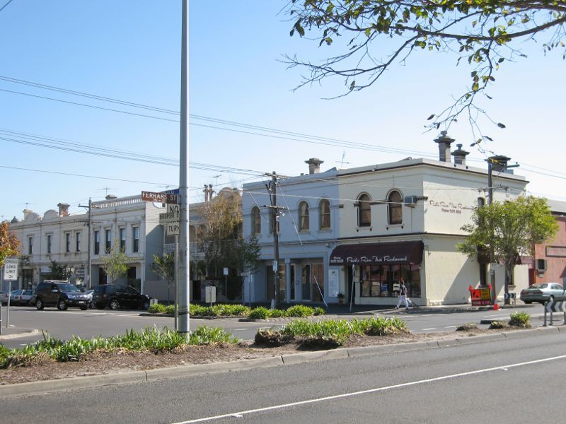
Shops and commercial centre, Bridport Street - Corner of Bridport St and Ferrars St
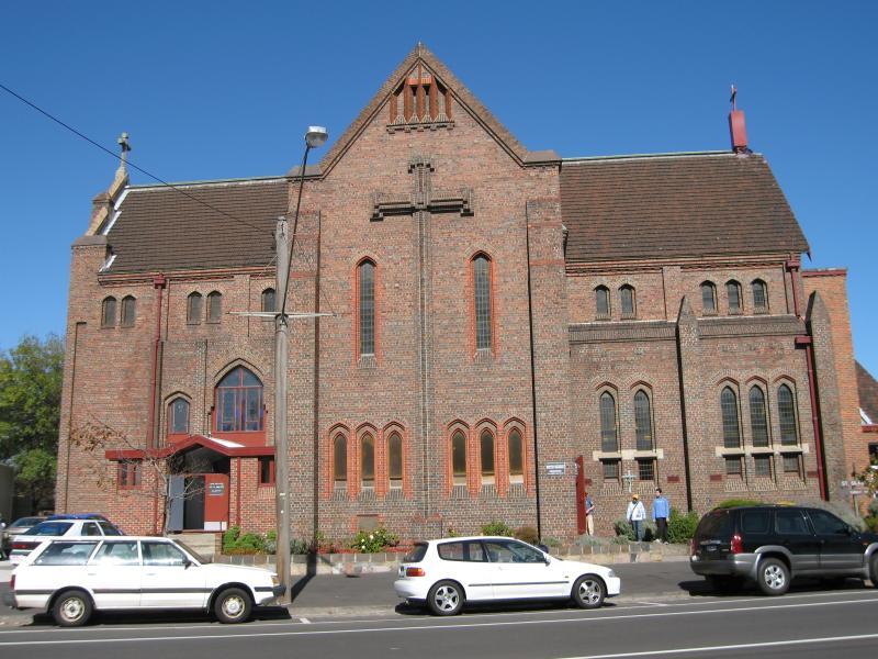
Shops and commercial centre, Bridport Street - View south-west along Bridport St at Ferras St towards Anglican Church
Shops and commercial centre, Bridport Street - Anglican Church, Bridport St
Shops and commercial centre, Bridport Street - View south-west along Bridport St at Madden St
Shops and commercial centre, Bridport Street - View south-east across Bridport St at Montague St
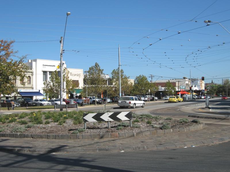
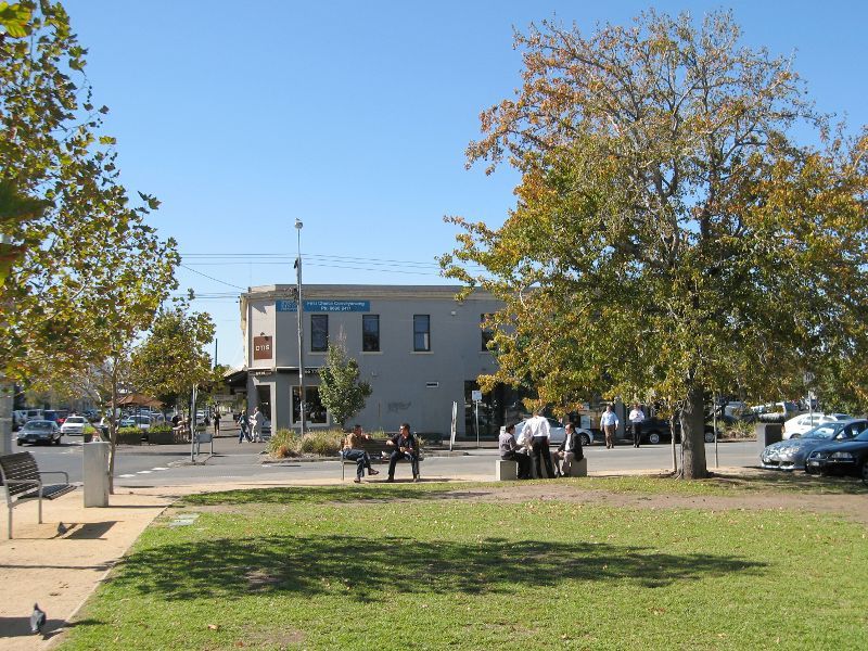
Shops and commercial centre, Bridport Street - View south-west along Bridport St at Montague St
Shops and commercial centre, Bridport Street - View south-west along Bridport St at Montague St
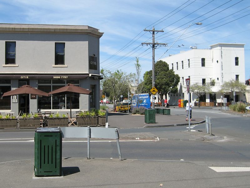
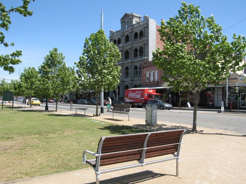
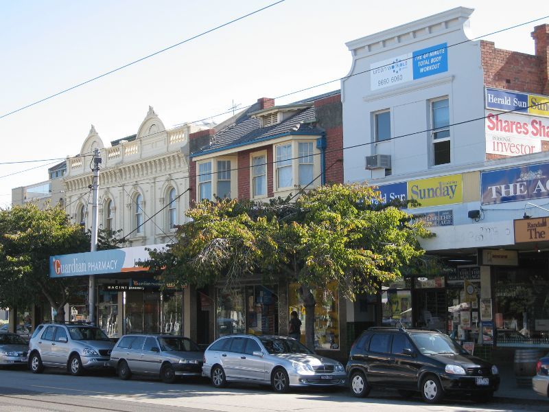
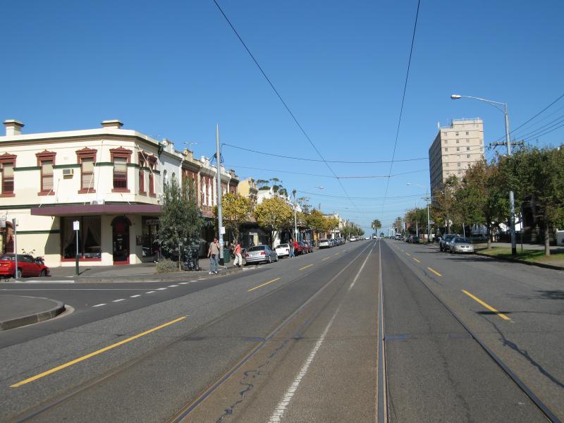
Shops and commercial centre, Bridport Street - View north-east along Bridport St at Montague St
Shops and commercial centre, Bridport Street - View south-west along Bridport St west of Montague St
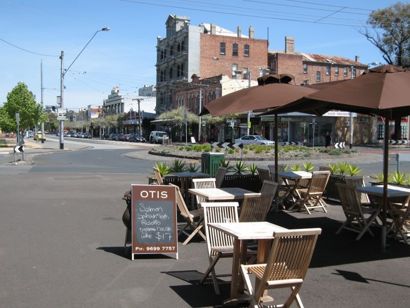
Shops and commercial centre, Bridport Street - View north-east along Bridport St towards Montague St
Shops and commercial centre, Bridport Street - Shops fronting Dundas Pl between Montague St and Faussett St
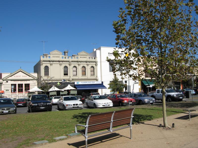
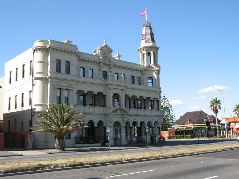
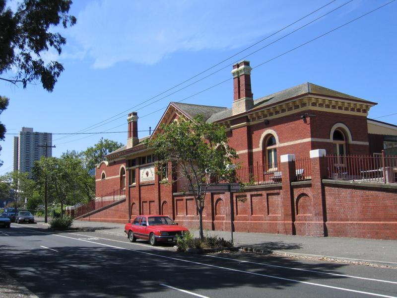
Shops and commercial centre, Bridport Street - Old Albert Park Post Office, Dundas Pl
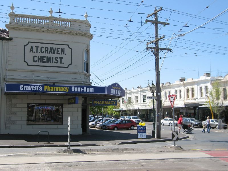
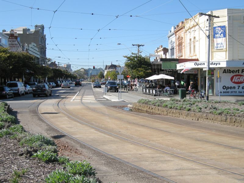
Shops and commercial centre, Bridport Street - View south-west along Bridport St at Faussett St
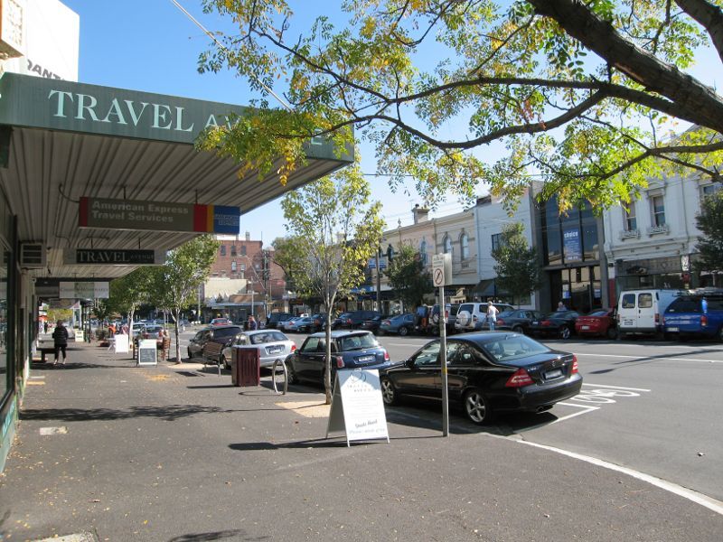
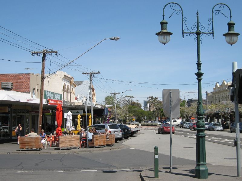
Shops and commercial centre, Bridport Street - View south-west along Bridport St towards Merton St
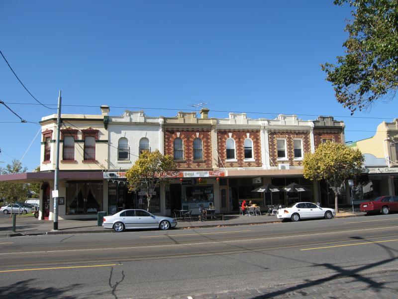
Shops and commercial centre, Bridport Street - Eateries along Bridport St between Merton St and Faussett St
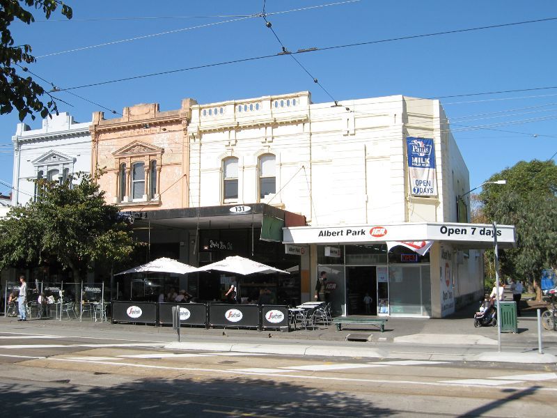
Shops and commercial centre, Bridport Street - South-east corner of Bridport St and Merton St
Shops and commercial centre, Bridport Street - View north-east along Bridport St at Merton St
Shops and commercial centre, Bridport Street - View north-east along Bridport St at Merton St
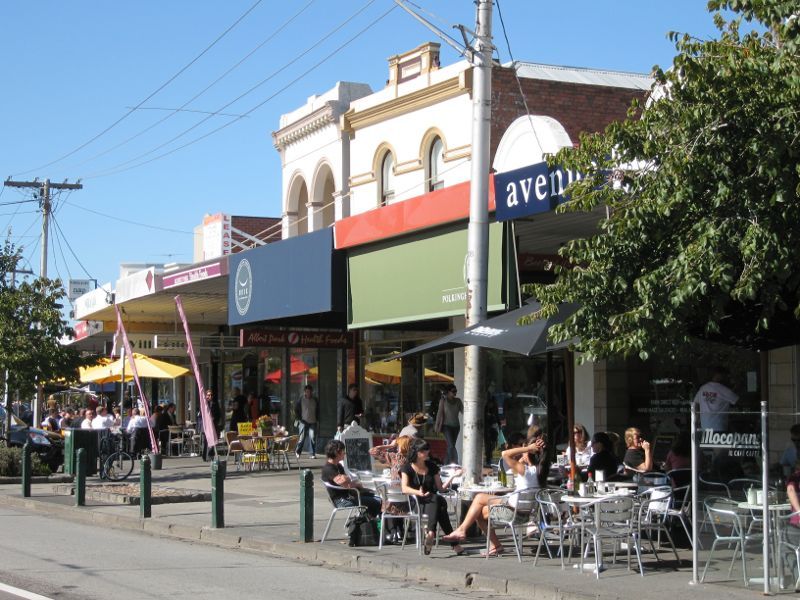
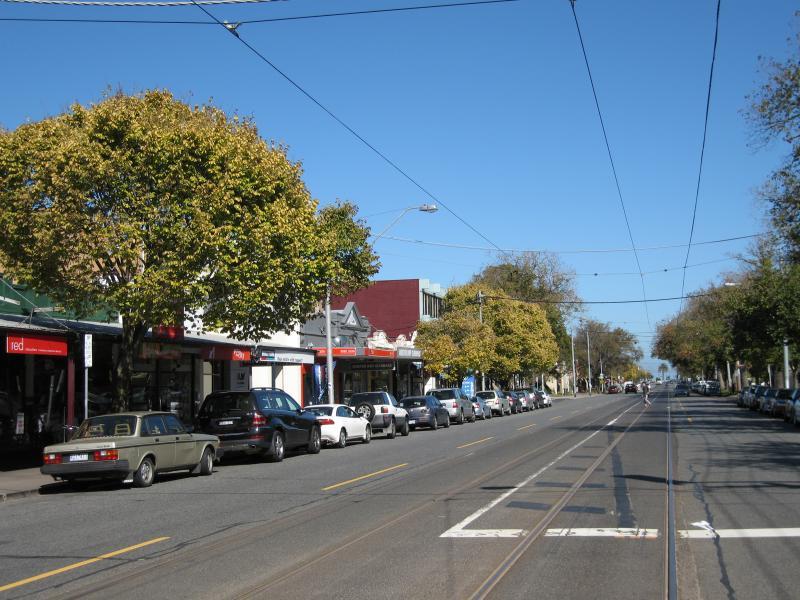
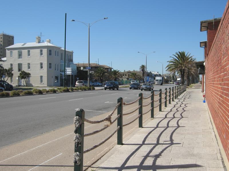
Shops, Victoria Avenue - View south-west along Victoria Av at Merton St
Shops, Victoria Avenue - View south-west along Victoria Av towards Moubray St
Shops, Victoria Avenue - Corner of Victoria Av and O'Grady St
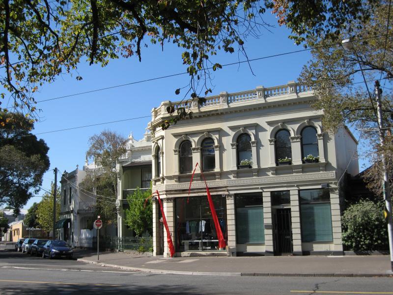
Shops, Victoria Avenue - The Red Eagle Hotel, corner Victoria Av and Page St
Shops, Victoria Avenue - View south-west along Victoria Av at Page St
Shops, Victoria Avenue - Shops, corner Victoria Av and Page St
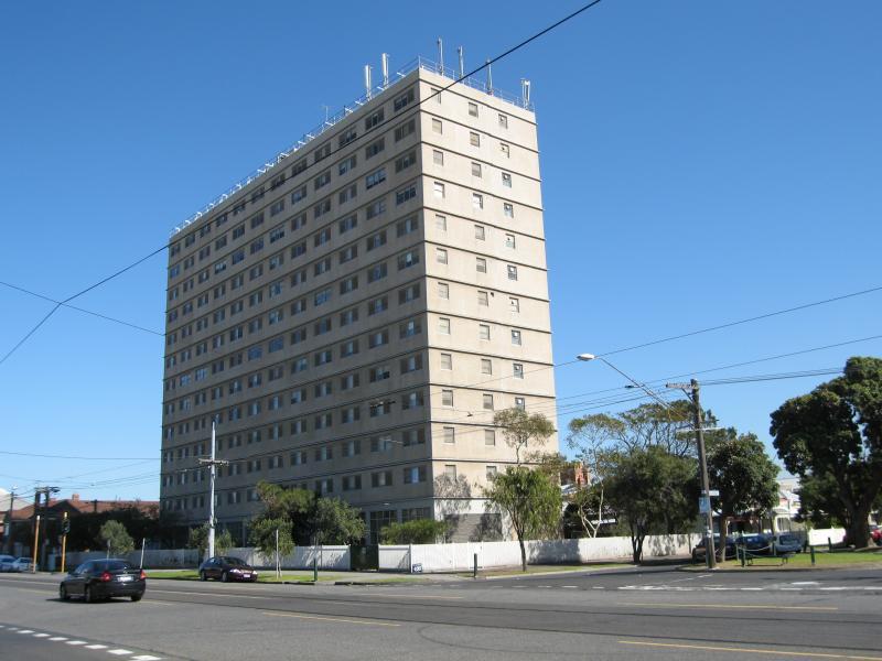
Shops, Victoria Avenue - Apartment building, corner Victoria Av and Danks St
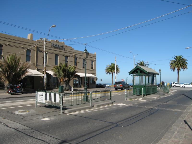
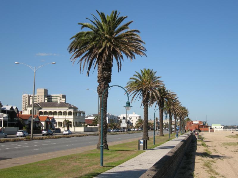
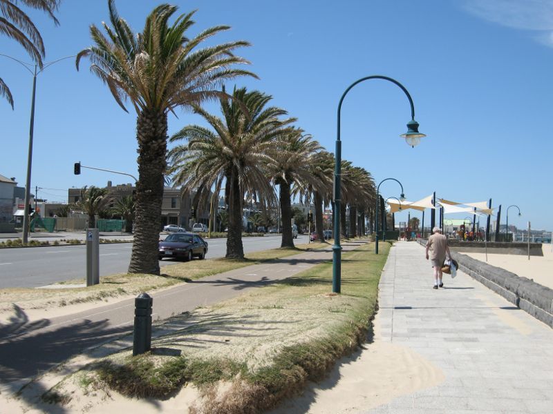
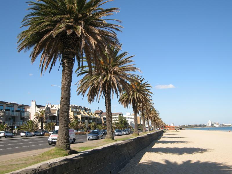
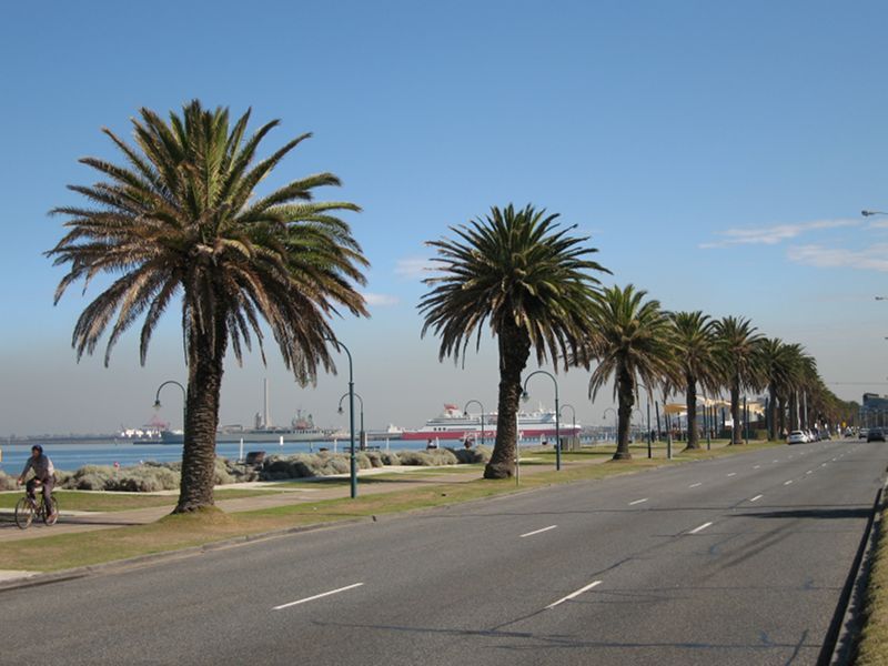
Shops, Victoria Avenue - View south-west along Victoria Av towards Beaconsfield Pde and Beach Hotel
Shops, Victoria Avenue - View south-west along Victoria Av towards Beaconsfield Pde
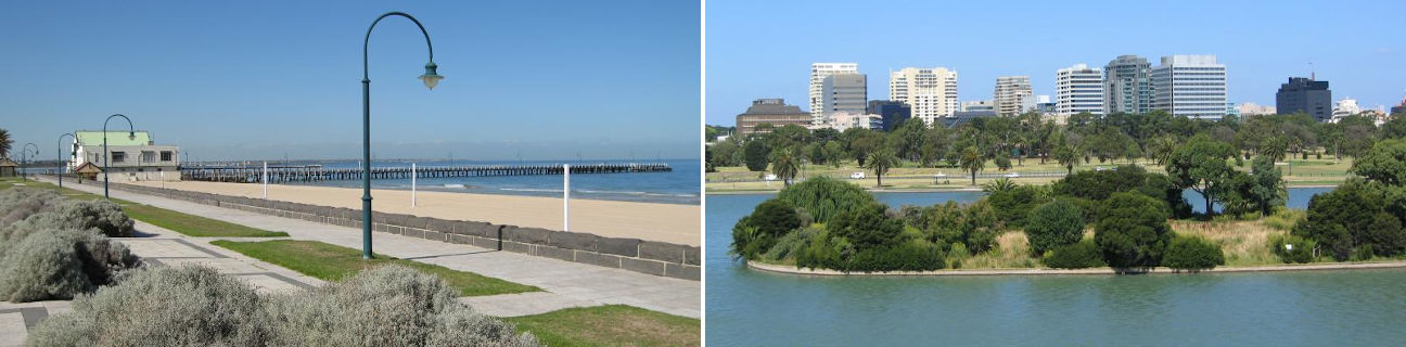
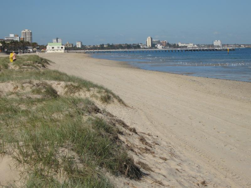
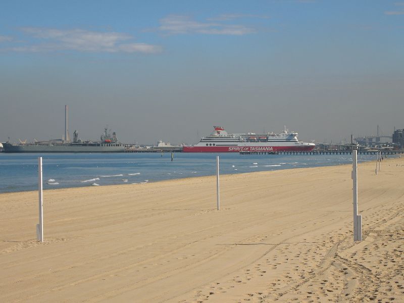
Beach, foreshore and Beaconsfield Parade around Pickles Street - View south-west across Port Phillip from beach
Beach, foreshore and Beaconsfield Parade around Pickles Street - View south-east along beach
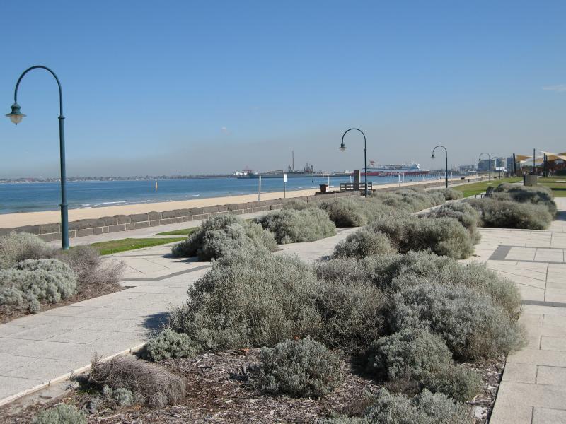
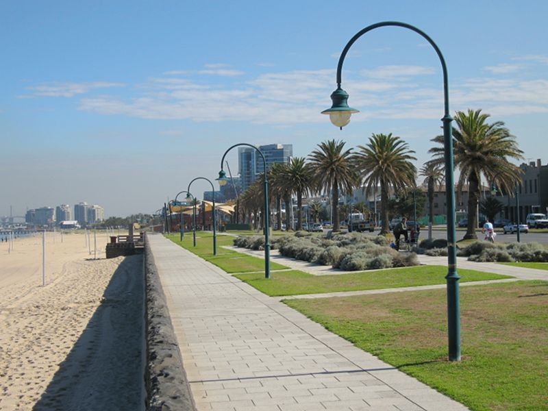
Beach, foreshore and Beaconsfield Parade around Pickles Street - View from beach across foreshore towards Beaconsfield Pde
Beach, foreshore and Beaconsfield Parade around Pickles Street - View south-east along Beaconsfield Pde towards Foote St
Beach, foreshore and Beaconsfield Parade around Victoria Avenue - View south-east along beach
Beach, foreshore and Beaconsfield Parade around Victoria Avenue - View south-east along Beaconsfield Pde towards Plum Garland Memorial Playground
Beach, foreshore and Beaconsfield Parade around Victoria Avenue - View south-east along Beaconsfield Pde at Withers St and South Melbourne Life Saving Club
Beach, foreshore and Beaconsfield Parade around Victoria Avenue - View north-west along Beaconsfield Pde at Withers St
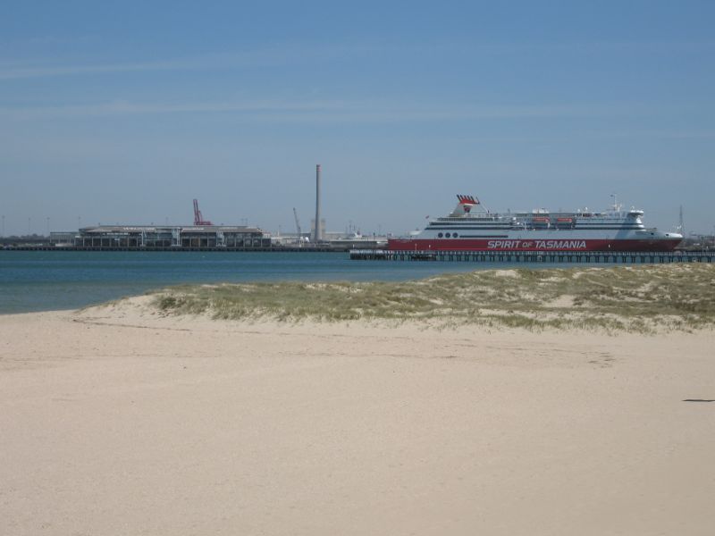
Beach, foreshore and Beaconsfield Parade around Victoria Avenue - Westerly view across beach towards Station Pier
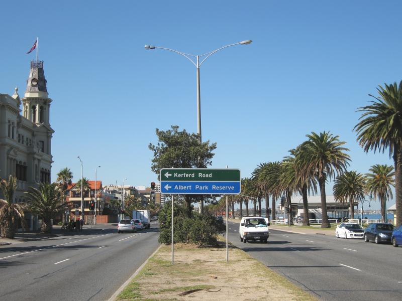
Beach, foreshore, pier and Beaconsfield Parade around Kerferd Road - View south-east along Beaconsfield Pde and beach at Kerferd Rd
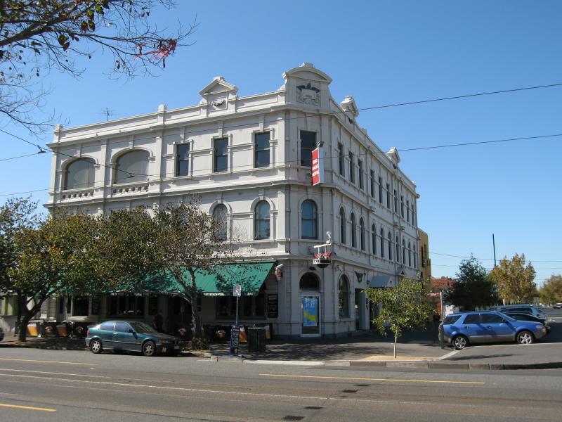
Beach, foreshore, pier and Beaconsfield Parade around Kerferd Road - Hotel Victoria, corner Beaconsfield Pde and Kerferd Rd
Beach, foreshore, pier and Beaconsfield Parade around Kerferd Road - Cafe at entrance to Kerferd Road Pier
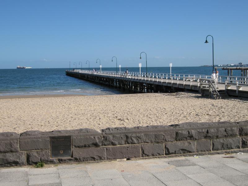
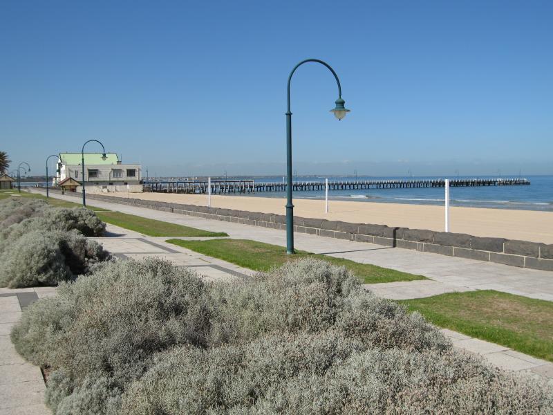
Beach, foreshore, pier and Beaconsfield Parade around Kerferd Road - View of Kerferd Road Pier from foreshore
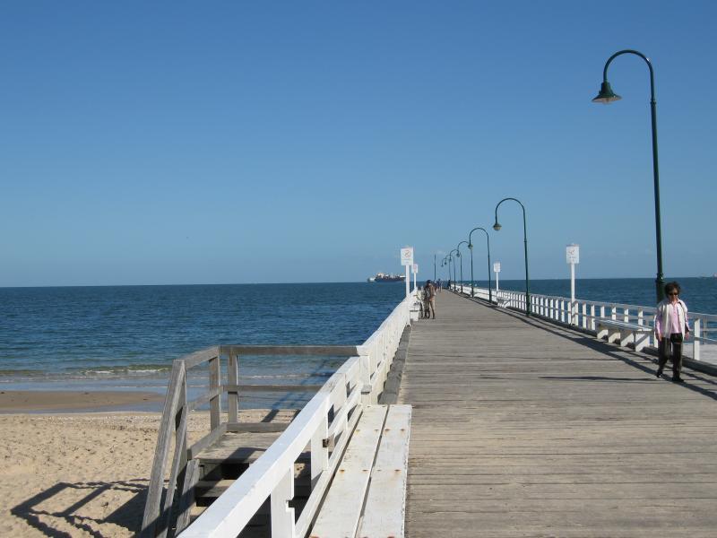
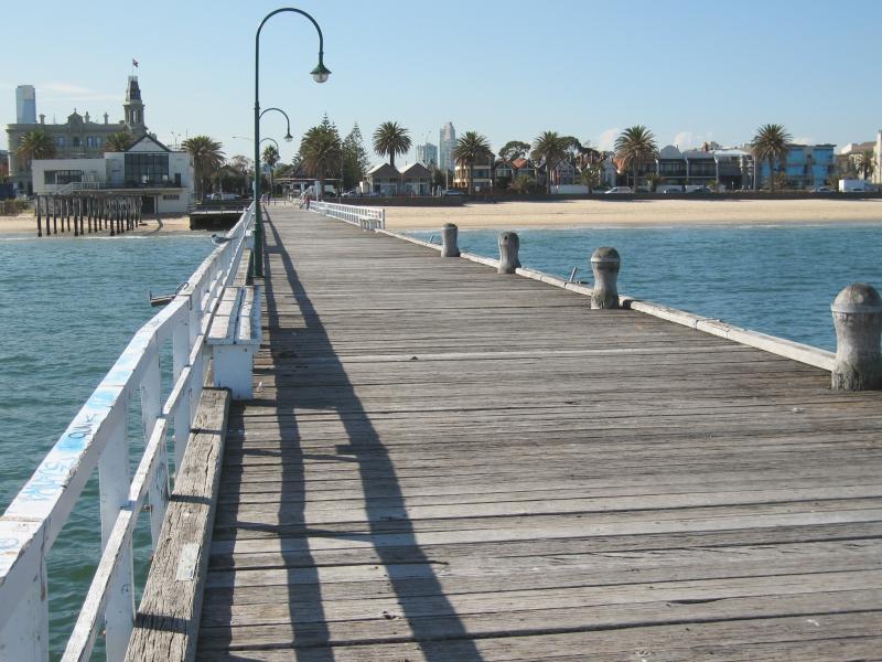
Beach, foreshore, pier and Beaconsfield Parade around Kerferd Road - View along Kerferd Road Pier
Beach, foreshore, pier and Beaconsfield Parade around Kerferd Road - View towards end of Kerferd Road Pier
Beach, foreshore, pier and Beaconsfield Parade around Kerferd Road - View north-east along Kerferd Road Pier back to foreshore
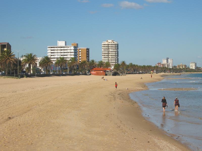
Beach, foreshore, pier and Beaconsfield Parade around Kerferd Road - View south-east along beach from Kerferd Road Pier
Beach, foreshore, pier and Beaconsfield Parade around Kerferd Road - View south-east along beach from Kerferd Road Pier
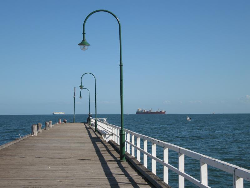
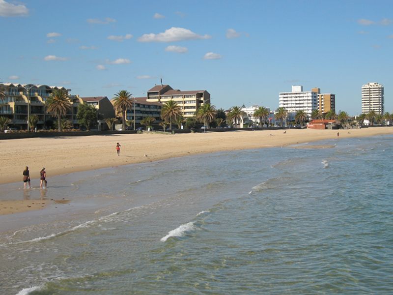
Beach, foreshore, pier and Beaconsfield Parade around Kerferd Road - View east towards the coast from Kerferd Road Pier
Beach, foreshore, pier and Beaconsfield Parade around Kerferd Road - View east towards the coast from Kerferd Road Pier
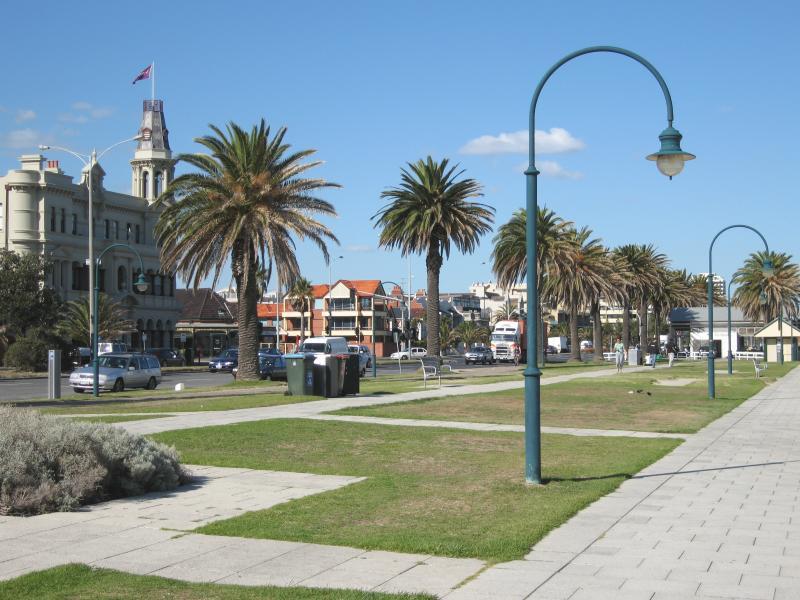
Beach, foreshore, pier and Beaconsfield Parade around Kerferd Road - View south-east along Beaconsfield Pde towards Kerferd Rd
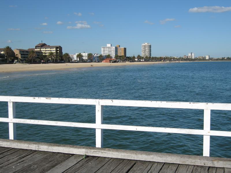
Beach, foreshore, pier and Beaconsfield Parade around Kerferd Road - View south-east along foreshore towards Kerferd Rd
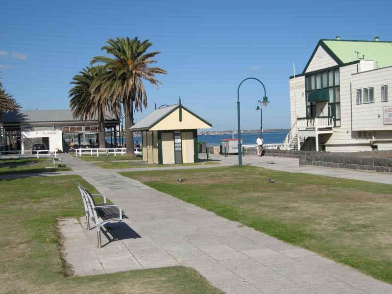
Beach, foreshore, pier and Beaconsfield Parade around Kerferd Road - View south-east along foreshore towards Albert Park Yachting & Angling Club
Beach, foreshore, pier and Beaconsfield Parade around Kerferd Road - View south-east along foreshore towards Kerferd Road Pier
Beach, foreshore, pier and Beaconsfield Parade around Kerferd Road - View north-east along Beaconsfield Pde near Philipson St
Beach, foreshore, pier and Beaconsfield Parade around Kerferd Road - View north-west along foreshore near Philipson St
Beach, foreshore, pier and Beaconsfield Parade around Kerferd Road - View north-west along foreshore near Philipson St
Beach, foreshore, pier and Beaconsfield Parade around Kerferd Road - View north-west along beach towards Station Pier
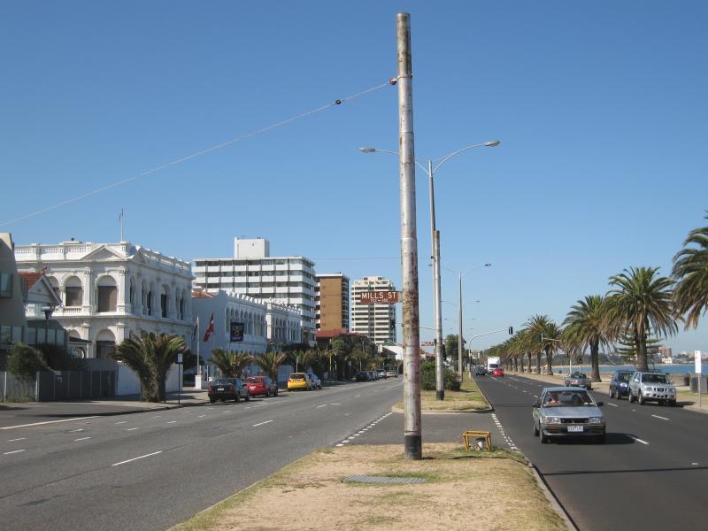
Beach, foreshore and Beaconsfield Parade around Mills Street - View south-east along Beaconsfield Pde at Mills St
Beach, foreshore and Beaconsfield Parade around Mills Street - View south-east along Beaconsfield Pde at Wright St
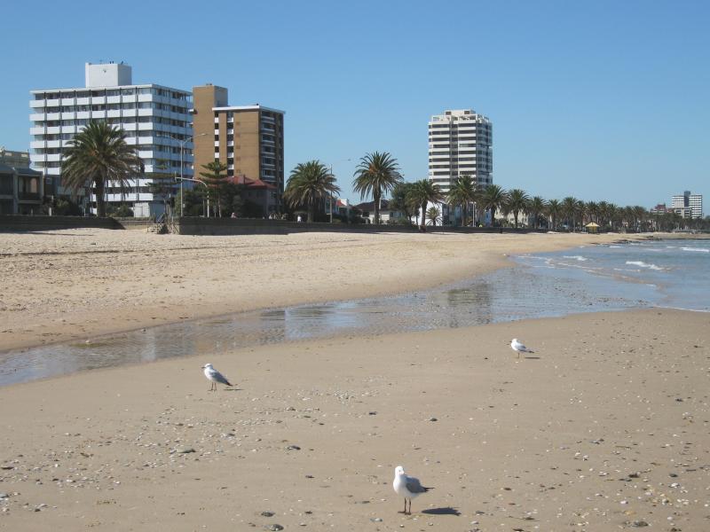
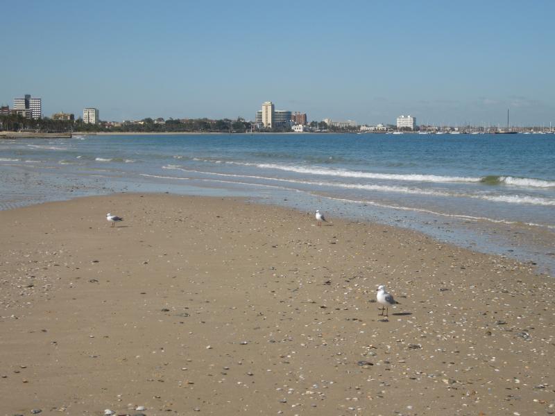
Beach, foreshore and Beaconsfield Parade around Mills Street - View south-east along beach
Beach, foreshore and Beaconsfield Parade around Mills Street - View south-east along beach
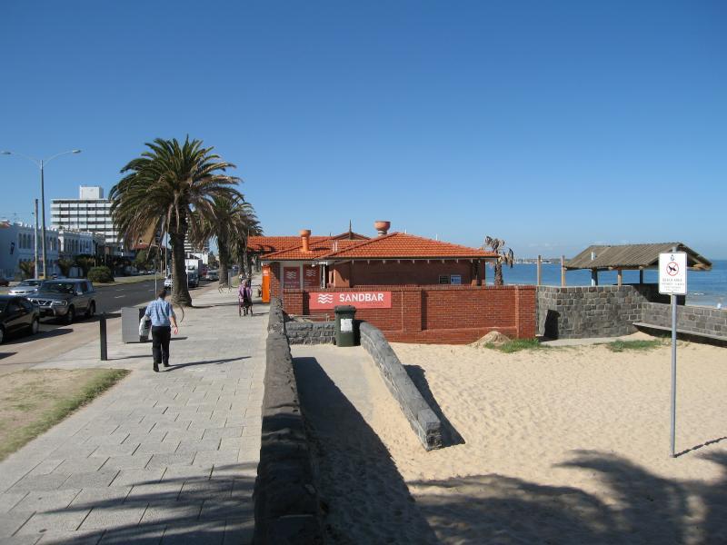
Beach, foreshore and Beaconsfield Parade around Mills Street - View south-east along foreshore towards Mills St and Sandbar Restaurant
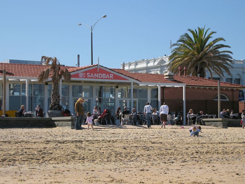
Beach, foreshore and Beaconsfield Parade around Mills Street - View of Sandbar Restaurant from beach
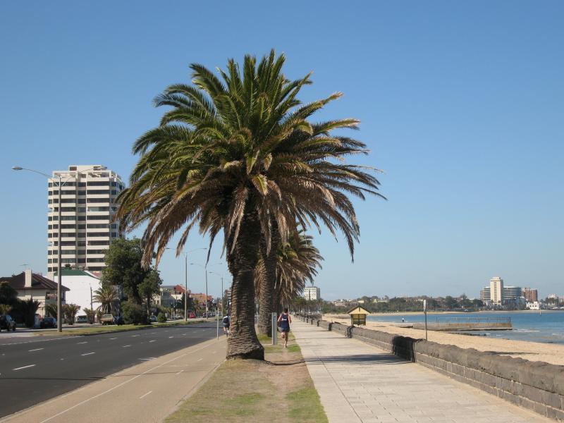
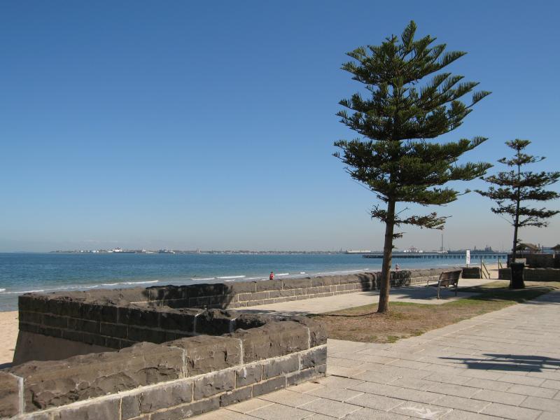
Beach, foreshore and Beaconsfield Parade around Mills Street - View north-west along foreshore
Kerferd Road - Belucci's Restaurant, view north-east along Kerferd Rd at Beaconsfield Pde
Kerferd Road - View south-west along Kerferd Rd towards Beaconsfield Pde
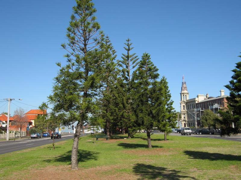
Kerferd Road - Kerferd Rd near Neville St
Kerferd Road - View north-east along Kerferd Rd at Merton St
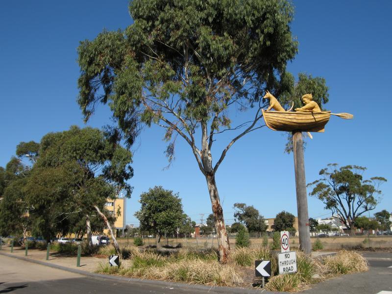
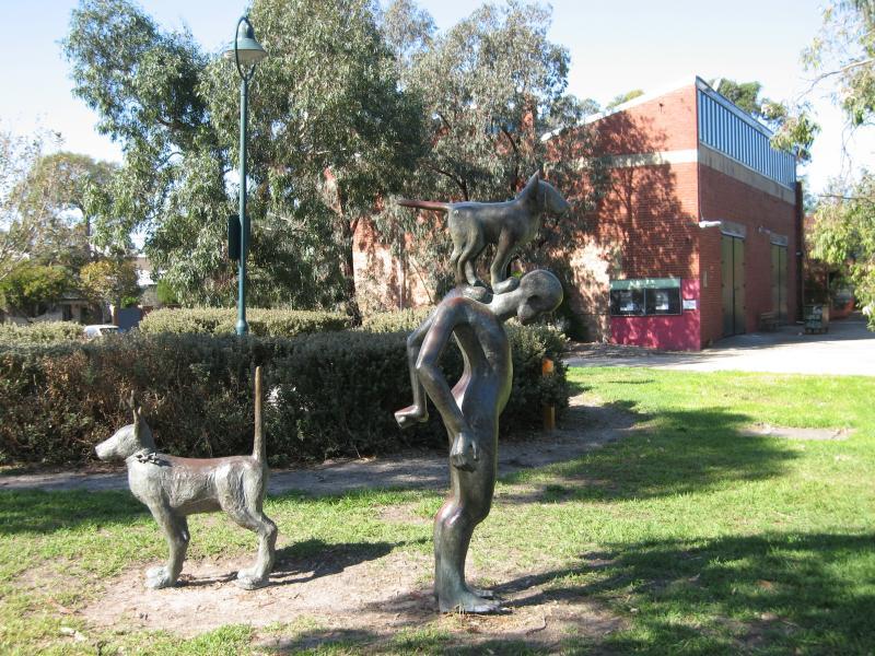
Gasworks Art Park, Graham Street - Man Dog Boat sculpture, Graham St at Pickles St
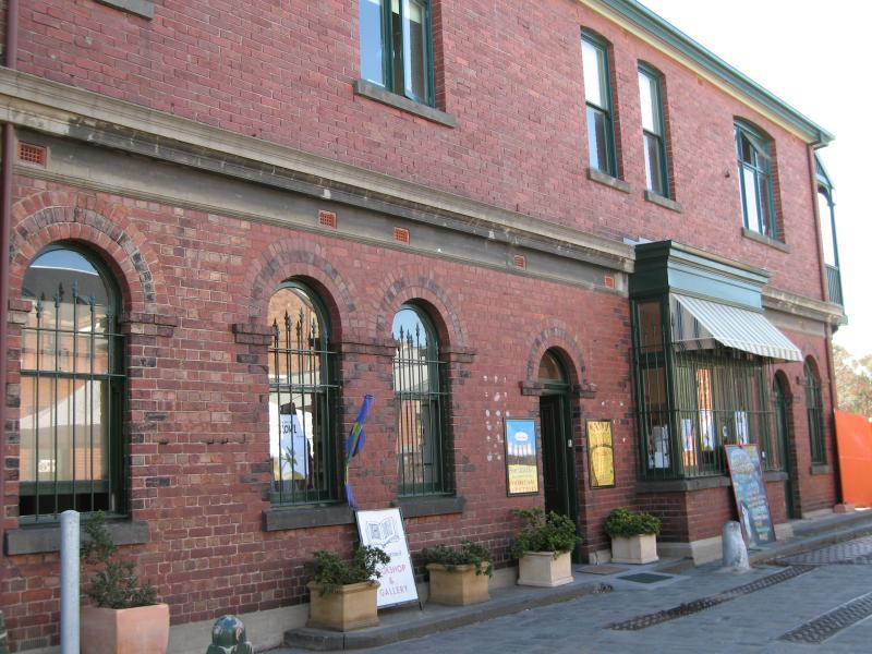
Gasworks Art Park, Graham Street - Bookshop and gallery
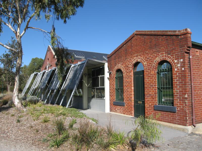
Gasworks Art Park, Graham Street - Theatre and community buildings
Gasworks Art Park, Graham Street - Sculptures in the gardens
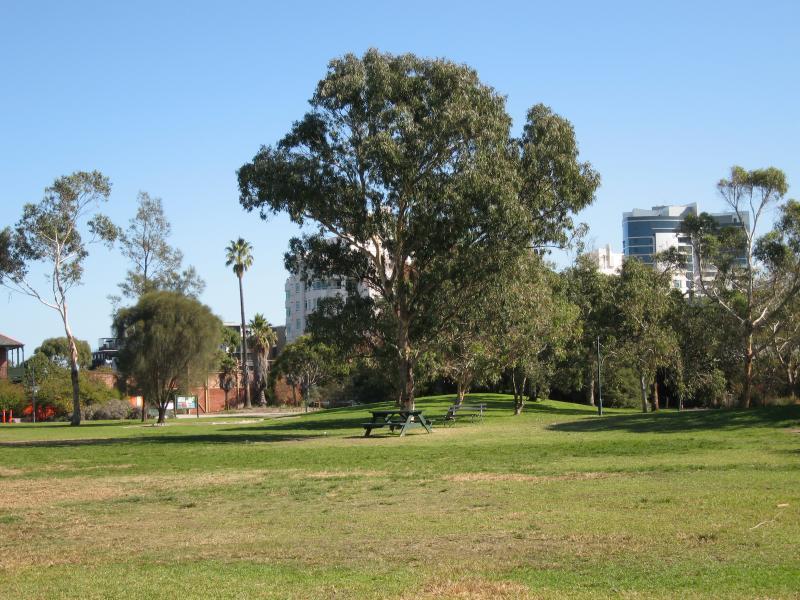
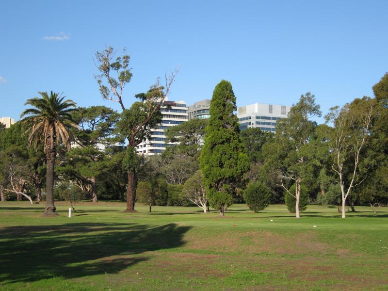
Gasworks Art Park, Graham Street - Gardens
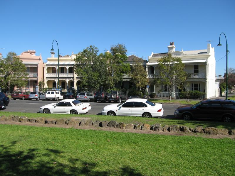
St Vincent Gardens and surroundings - View of terrace houses along St Vincent Pl from gardens
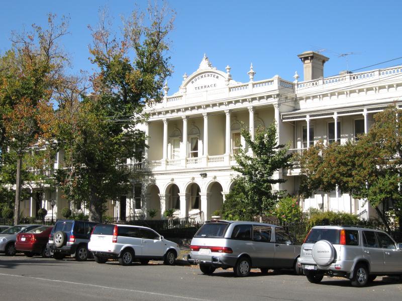
St Vincent Gardens and surroundings - Rochester Terrace, St Vincent Pl South near Montage St
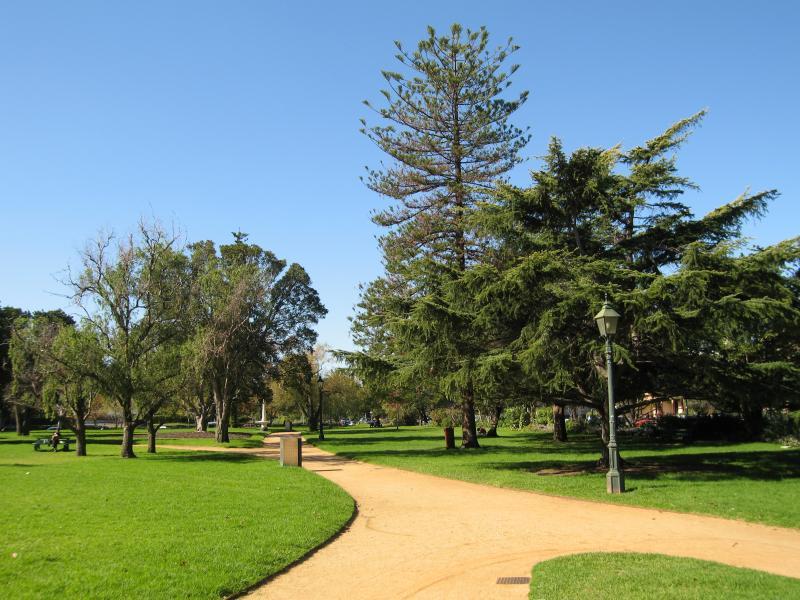
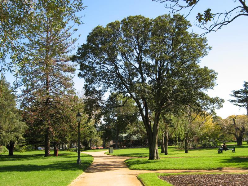
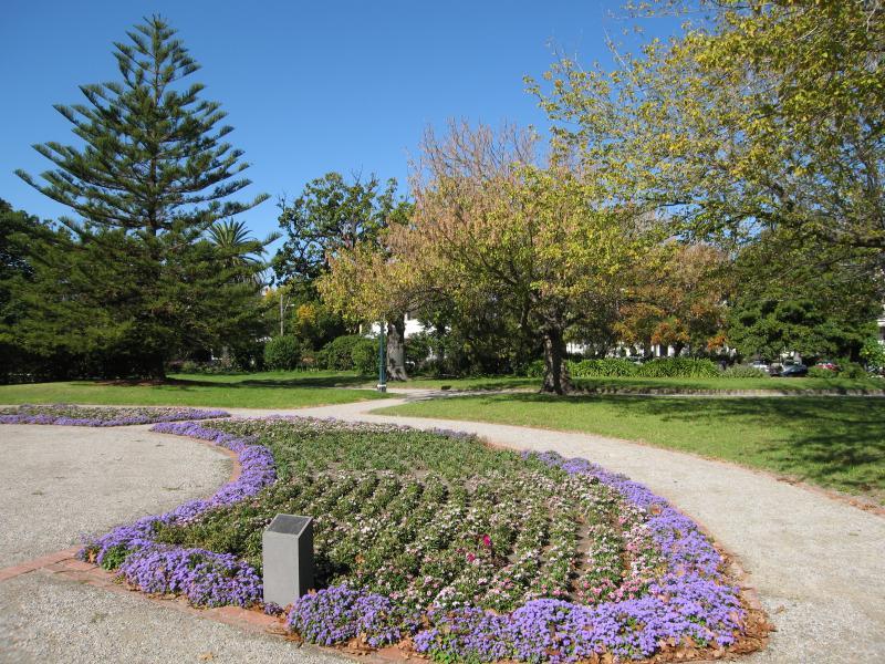
St Vincent Gardens and surroundings - Path through gardens
St Vincent Gardens and surroundings - Path through gardens
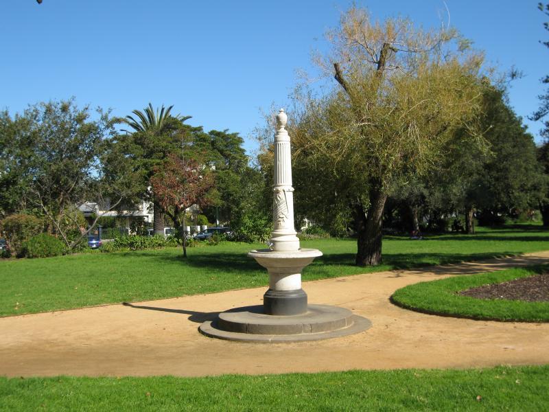
St Vincent Gardens and surroundings - Fountain in gardens
St Vincent Gardens and surroundings - Gardens
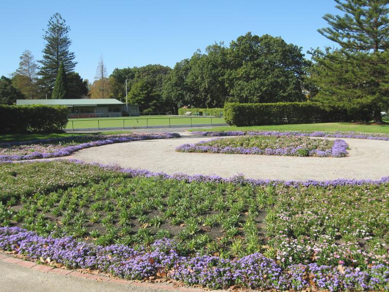
St Vincent Gardens and surroundings - Floral display at bowling club
St Vincent Gardens and surroundings - Gardens near bowling club
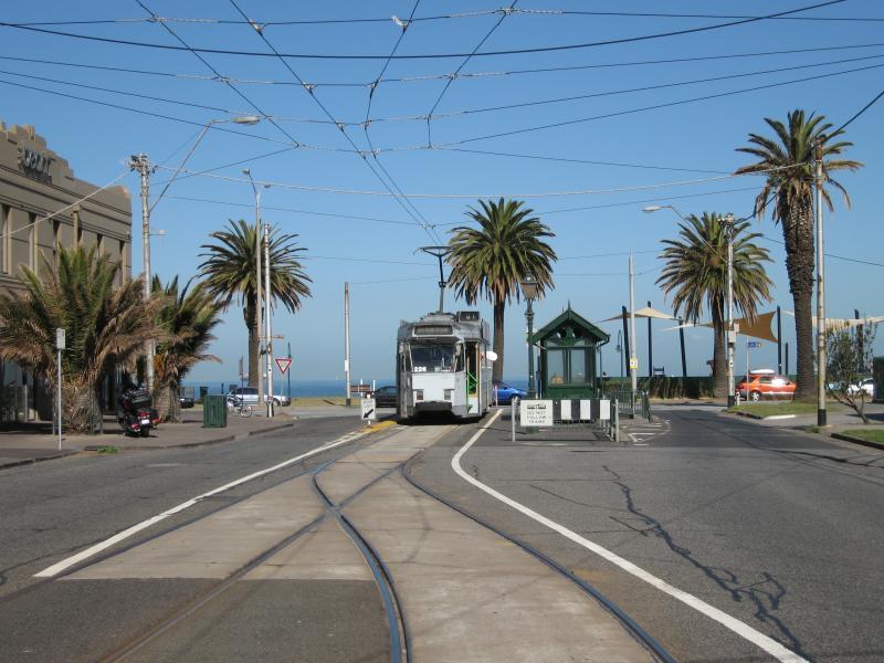
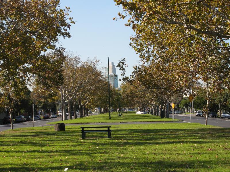
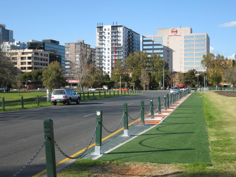
Ferrars Street - View north along Ferrars St towards Bridport St
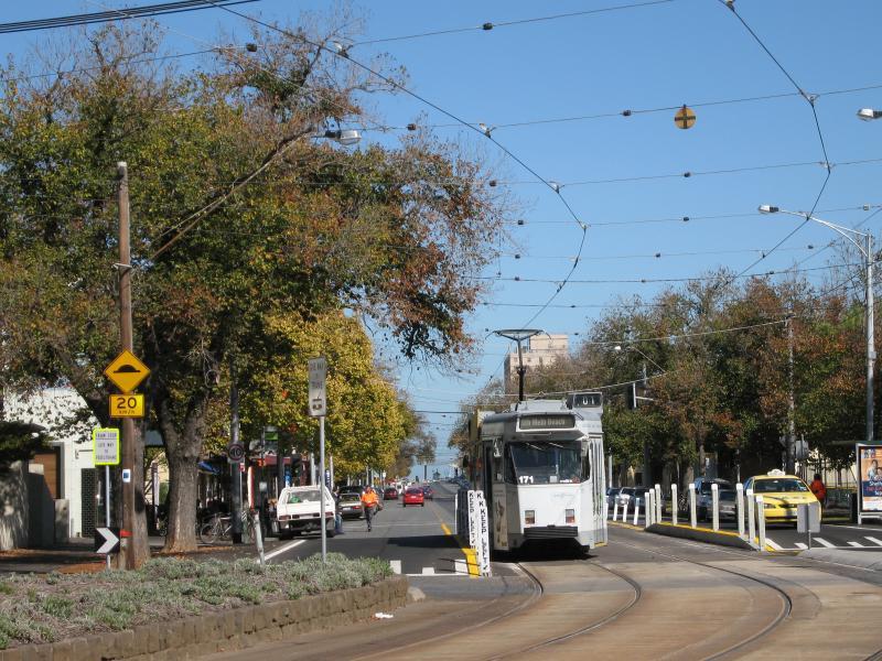
Ferrars Street - View north along Ferrars St towards Albert Park tram station
Ferrars Street - Platform at Albert Park tram station
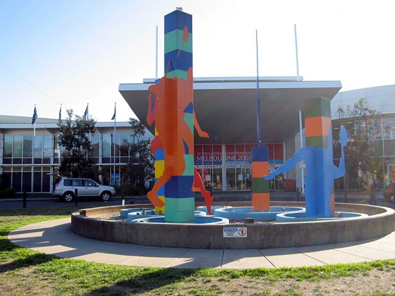
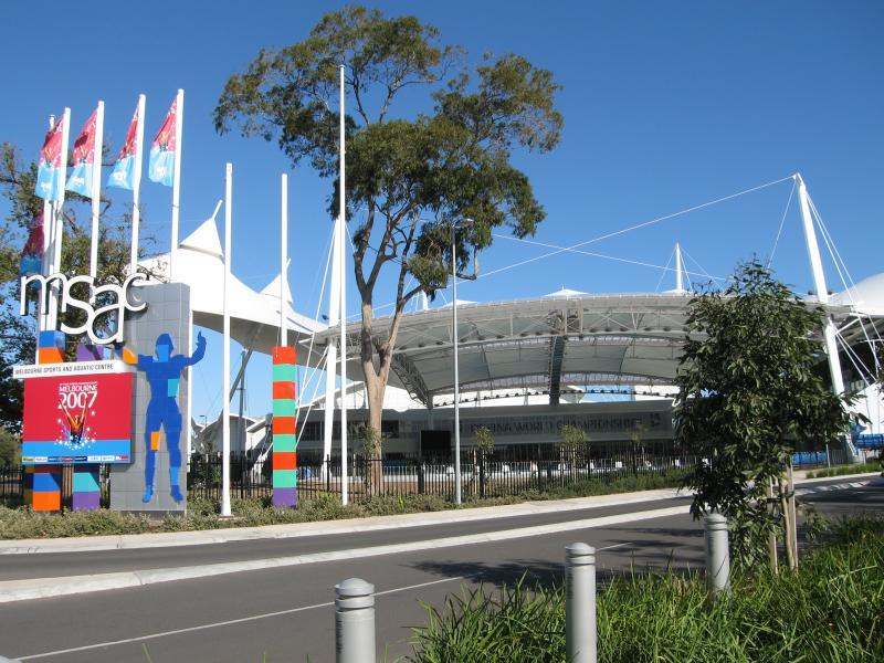
Melbourne Sports & Aquatic Centre, Albert Road and Aughtie Drive - Main entrance, Aughtie Dr
Melbourne Sports & Aquatic Centre, Albert Road and Aughtie Drive - Under cover outdoor pool, Old Aughtie Dr
Melbourne Sports & Aquatic Centre, Albert Road and Aughtie Drive - Sports House, Albert Rd
Albert Road - View north-east along Albert Rd at Clarendon St
Albert Road - View north-east along Albert St near Moray St
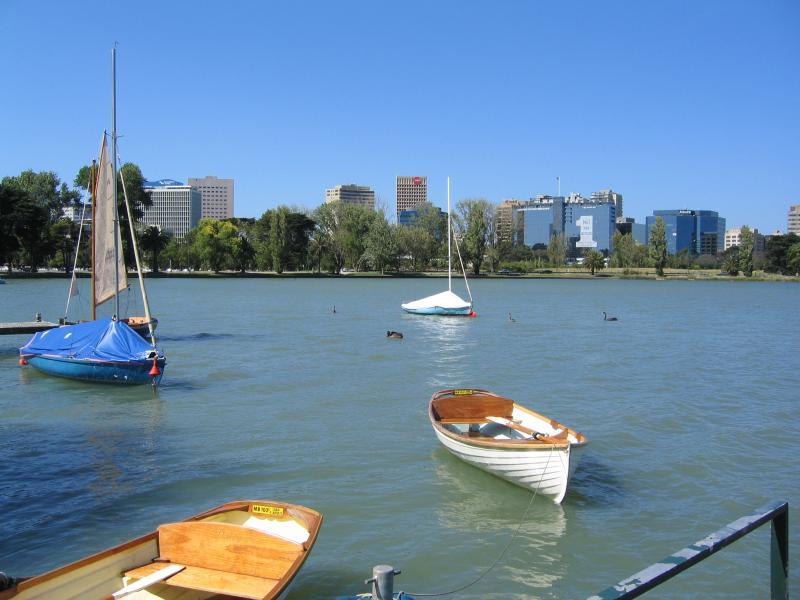
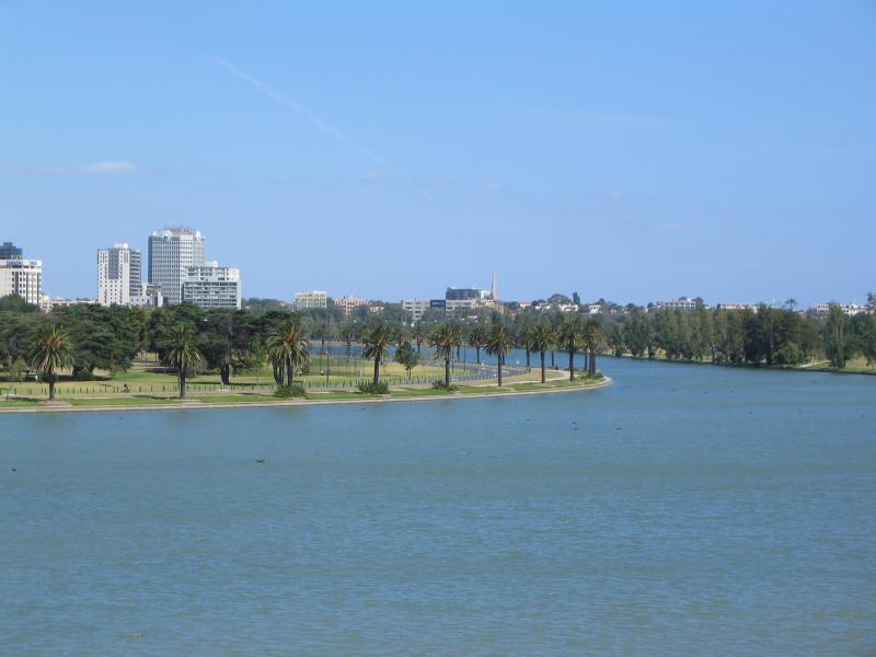
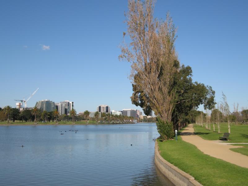
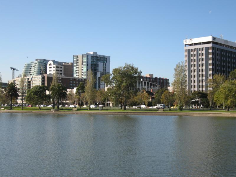
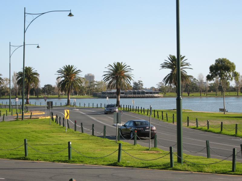
Albert Park Lake - jetties along Aquatic Drive and 'The Point' - View north along Aquatic Dr towards Eureka Tower
Albert Park Lake - jetties along Aquatic Drive and 'The Point' - View east across lake at jetties
Albert Park Lake - jetties along Aquatic Drive and 'The Point' - View east across lake at jetties
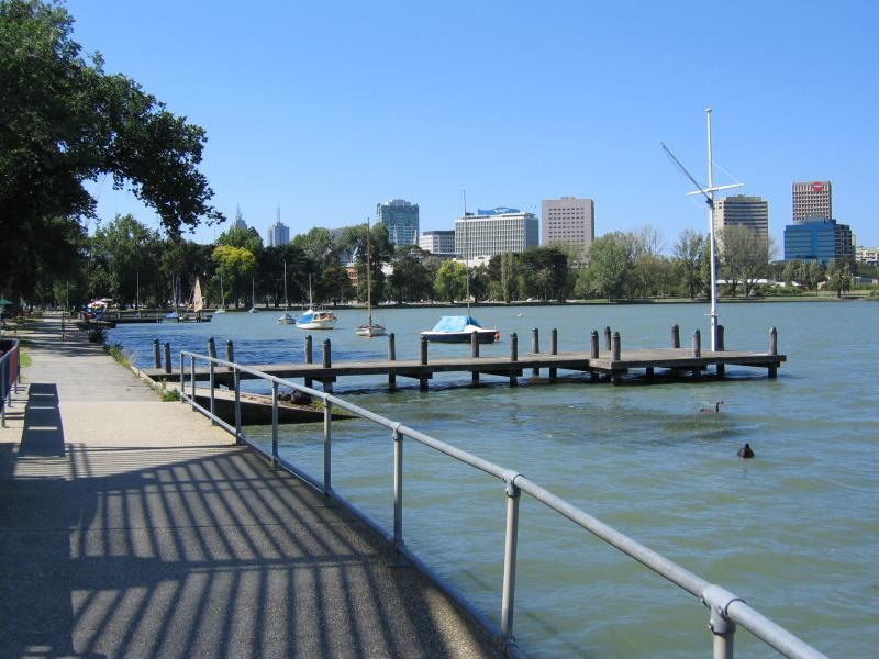
Albert Park Lake - jetties along Aquatic Drive and 'The Point' - View north along foreshore towards jetties
Albert Park Lake - jetties along Aquatic Drive and 'The Point' - View south-east across lake towards Gunn Island
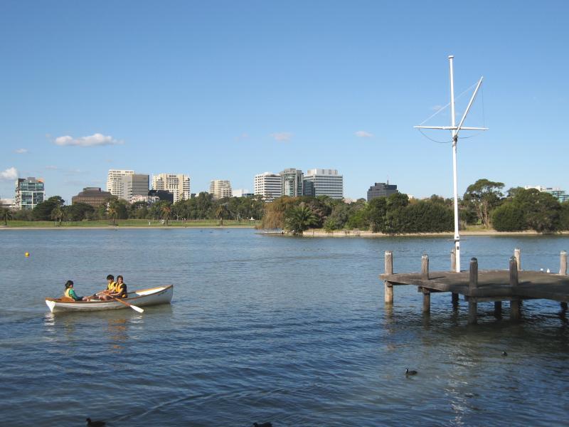
Albert Park Lake - jetties along Aquatic Drive and 'The Point' - View east across lake between jetties and 'The Point'
Albert Park Lake - jetties along Aquatic Drive and 'The Point' - View south along lake foreshore towards 'The Point'
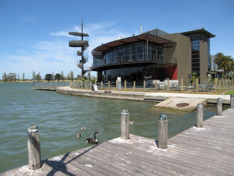
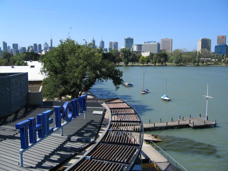
Albert Park Lake - jetties along Aquatic Drive and 'The Point' - View of 'The Point' from the jetty
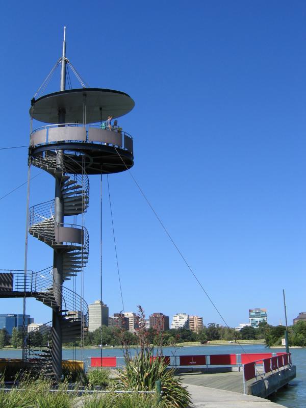
Albert Park Lake - jetties along Aquatic Drive and 'The Point' - 'The Point' lookout tower
Albert Park Lake - jetties along Aquatic Drive and 'The Point' - North-westerly view towards Lakeside Stadium from 'The Point' lookout
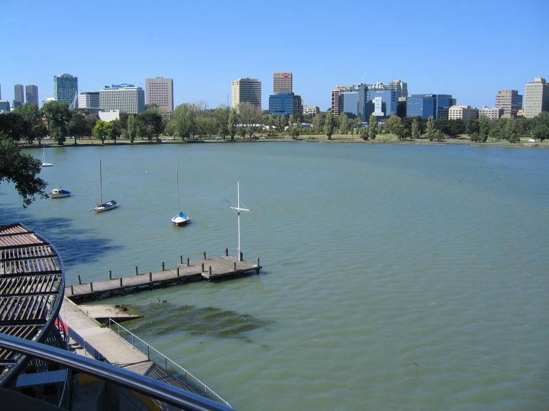
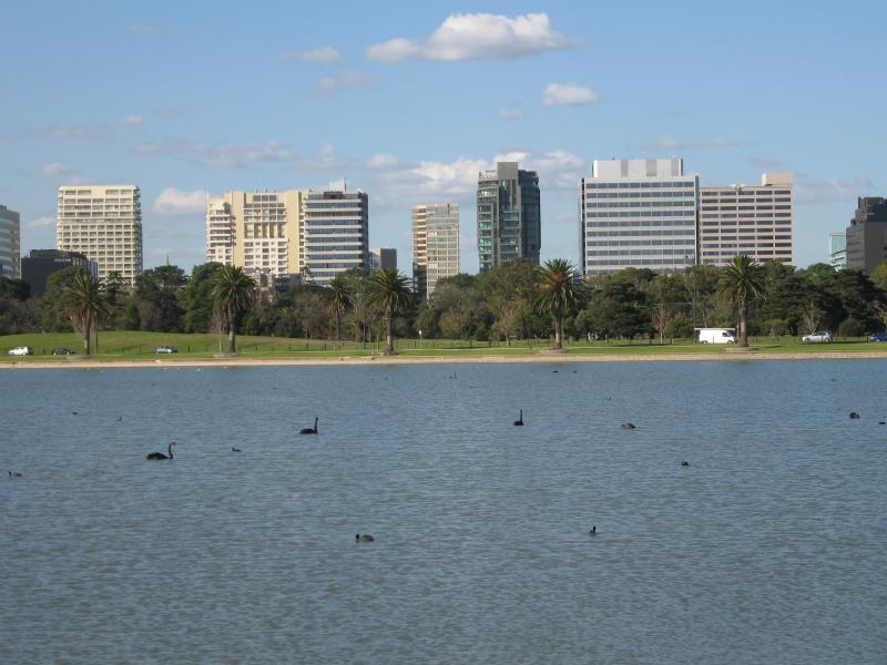
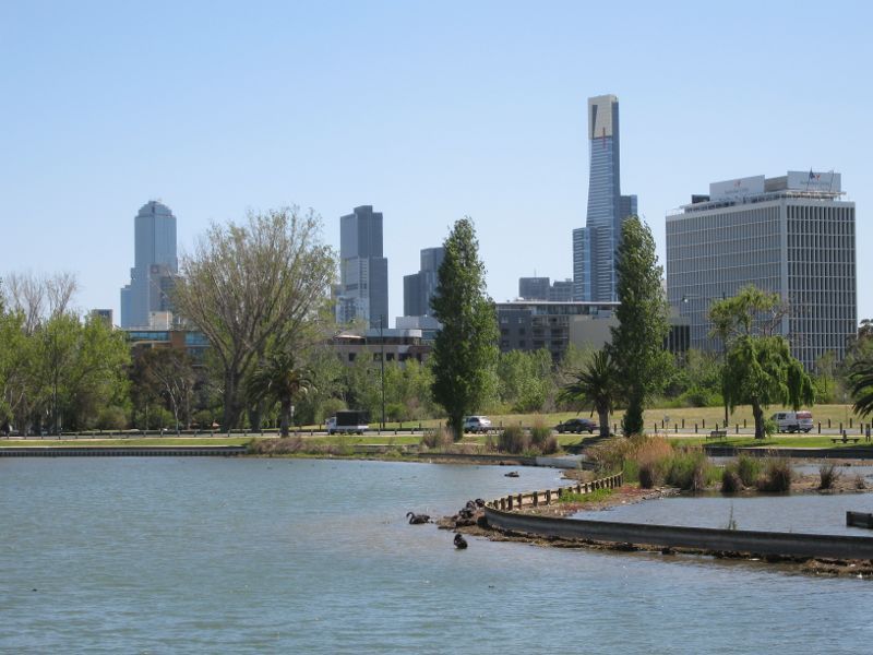
Albert Park Lake - jetties along Aquatic Drive and 'The Point' - Northerly view towards city skyline from 'The Point' lookout
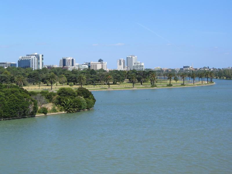
Albert Park Lake - jetties along Aquatic Drive and 'The Point' - View north-east across lake from 'The Point' lookout
Albert Park Lake - jetties along Aquatic Drive and 'The Point' - View north-east across lake from 'The Point' lookout
Albert Park Lake - jetties along Aquatic Drive and 'The Point' - View east across Gunn Island from 'The Point' lookout
Albert Park Lake - jetties along Aquatic Drive and 'The Point' - View south-east across Gunn Island and towards Lakeside Dr from 'The Point' lookout
Albert Park Lake - jetties along Aquatic Drive and 'The Point' - View south-east towards Lakeside Dr from 'The Point' lookout
Albert Park Lake - jetties along Aquatic Drive and 'The Point' - View south towards Carousel Function Centre from 'The Point' lookout
Albert Park Lake - jetties along Aquatic Drive and 'The Point' - View west along lake foreshore towards Palms Lawn from 'The Point' lookout
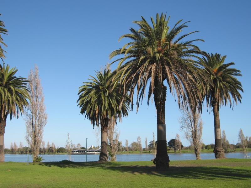
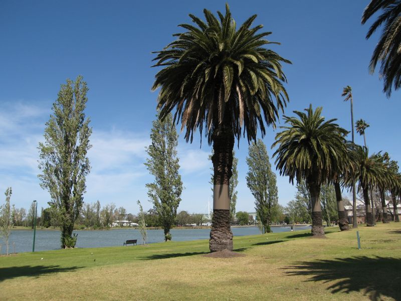
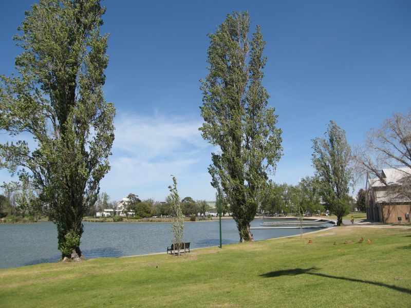
Albert Park Lake - Palms Lawn - View south across lake towards Carousel Function Centre
Albert Park Lake - Palms Lawn - View east along lake foreshore
Albert Park Lake - Palms Lawn - View south through lawns towards lake
Albert Park Lake - Palms Lawn - View west along lake foreshore
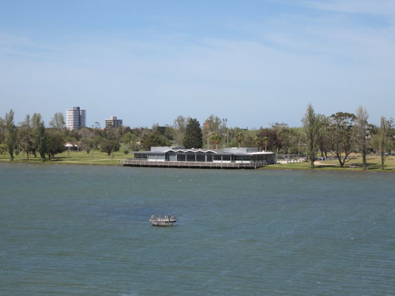
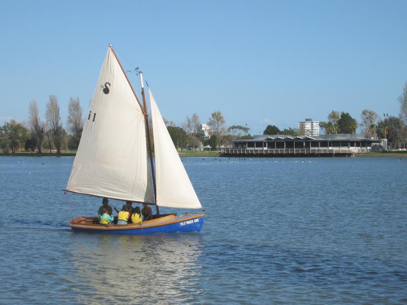
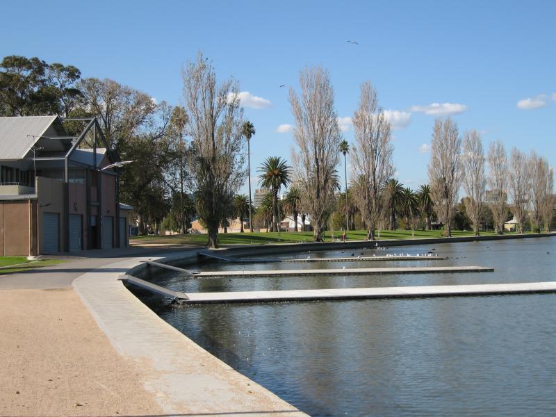
Albert Park Lake - Palms Lawn - View west along lake towards rowing pavillion
Albert Park Lake - Palms Lawn - View east along lake foreshore towards rowing pavillion
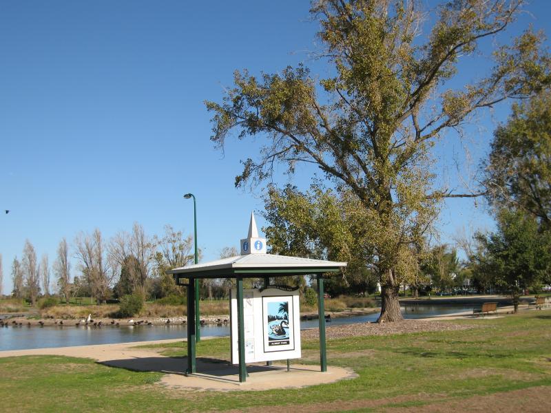
Albert Park Lake - Coot Picnic Area - Information shelter
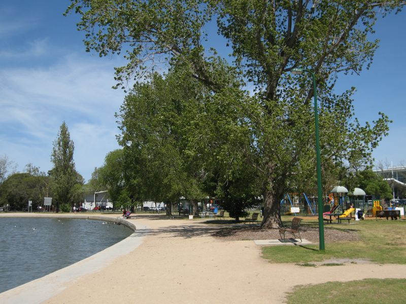
Albert Park Lake - Coot Picnic Area - View south-west along lake foreshore towards playground
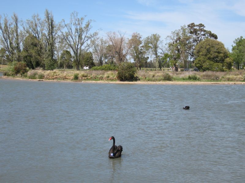
Albert Park Lake - Coot Picnic Area - View across lake towards Mud Island
Albert Park Lake - Coot Picnic Area - View south-east along lake at Mud island
Albert Park Lake - Carousel Function Centre, Aughtie Drive - View south-east along lake foreshore
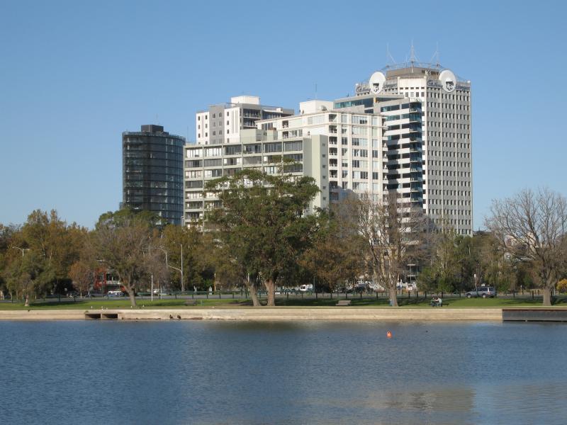
Albert Park Lake - Carousel Function Centre, Aughtie Drive - View east across lake
Albert Park Lake - Carousel Function Centre, Aughtie Drive - View east across lake
Albert Park Lake - southern end at Aughtie Drive, Ross Gregory Drive, Lakeside Drive - View east across lake from Aughtie Dr near Ross Gregory Dr
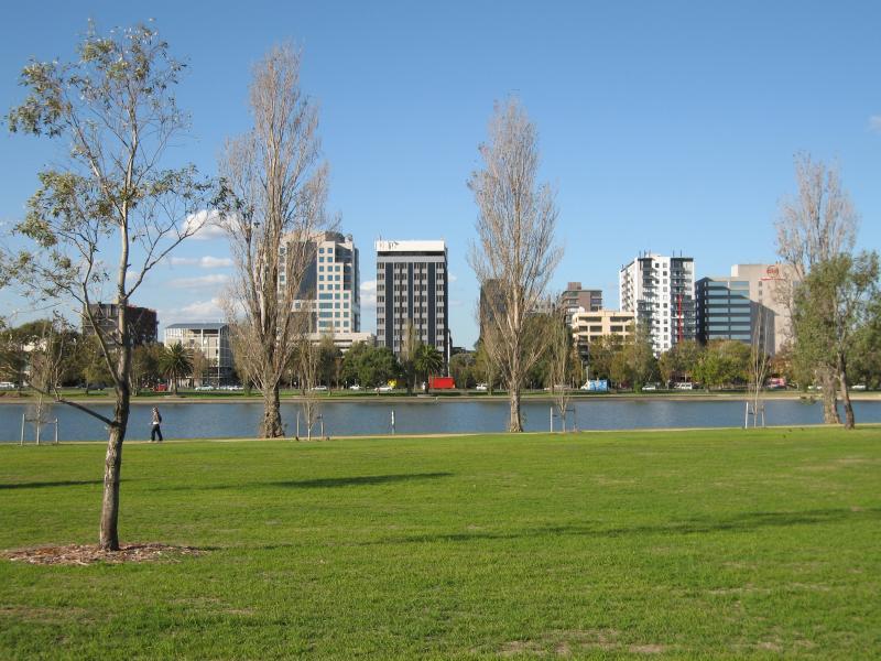
Albert Park Lake - southern end at Aughtie Drive, Ross Gregory Drive, Lakeside Drive - View south-east along lake from Aughtie Dr near Ross Gregory Dr
Albert Park Lake - southern end at Aughtie Drive, Ross Gregory Drive, Lakeside Drive - View north-east across lake from Aughtie Dr near Ross Gregory Dr
Albert Park Lake - southern end at Aughtie Drive, Ross Gregory Drive, Lakeside Drive - View north-east along Ross Gregory Dr towards Lakeside Dr
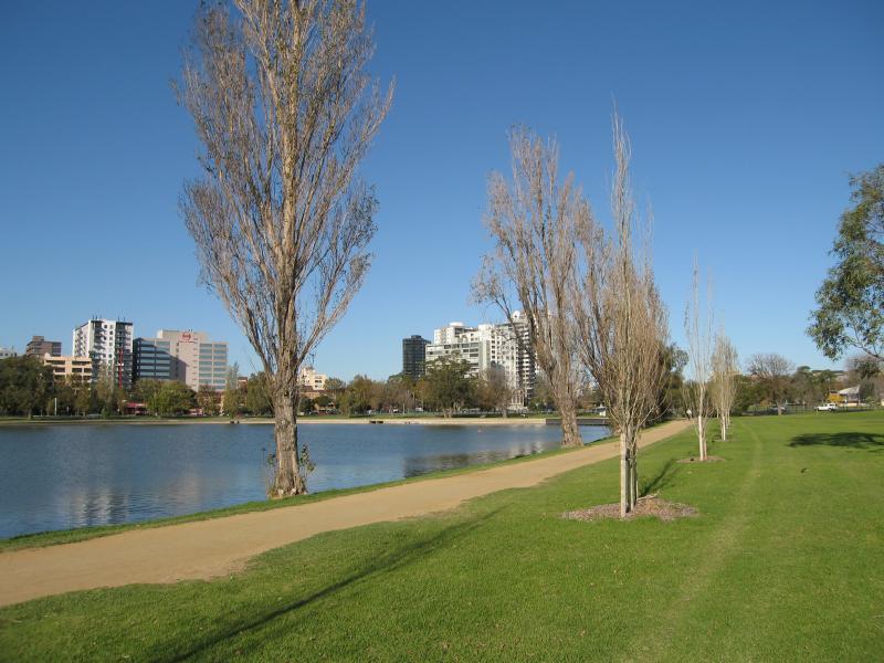
Albert Park Lake - southern end at Aughtie Drive, Ross Gregory Drive, Lakeside Drive - View east along lake foreshore at Ross Gregory Dr
Albert Park Lake - southern end at Aughtie Drive, Ross Gregory Drive, Lakeside Drive - View north-east across lake from Ross Gregory Dr
Albert Park Lake - southern end at Aughtie Drive, Ross Gregory Drive, Lakeside Drive - View west across lake from Lakeside Dr near Ross Gregory Dr
Albert Park Lake - southern end at Aughtie Drive, Ross Gregory Drive, Lakeside Drive - View south-east along lake from Lakeside Dr near Ross Gregory Dr
Albert Park Lake - Lakeside Drive opposite Gunn Island - View south-west along Lakeside Dr at car park
Albert Park Lake - Lakeside Drive opposite Gunn Island - View south along lake foreshore at shelter
Albert Park Lake - Lakeside Drive opposite Gunn Island - Westerly view across Lakeside Dr towards lake
Albert Park Lake - Lakeside Drive opposite Gunn Island - View south along lake and path
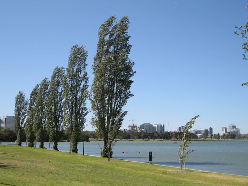
Albert Park Lake - Lakeside Drive opposite Gunn Island - View north along lake
Albert Park Lake - Lakeside Drive opposite Gunn Island - North-westerly view across lake
Albert Park Lake - Lakeside Drive opposite Gunn Island - Albert Park Public Golf Course