Ararat - photos
Ararat
Stay
See and do
Food and drink
Shopping
Getting around
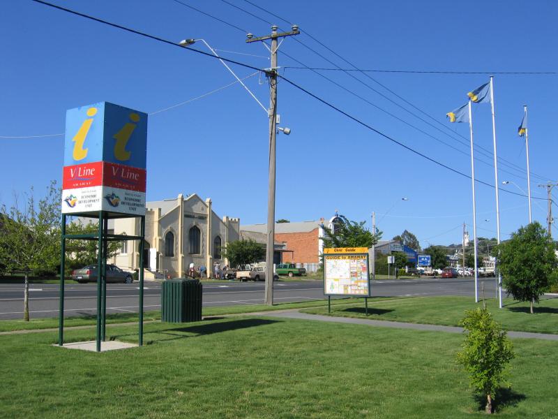
Visitor information
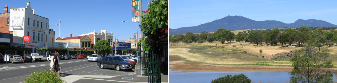
 Commercial centre and shops - View east along Barkly St between Maude St and Gordon St
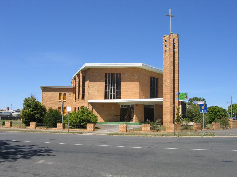
 Commercial centre and shops - Catholic Church at Marion College, Barkly St
 Commercial centre and shops - Uniting Church, view east along Barkly St at King St
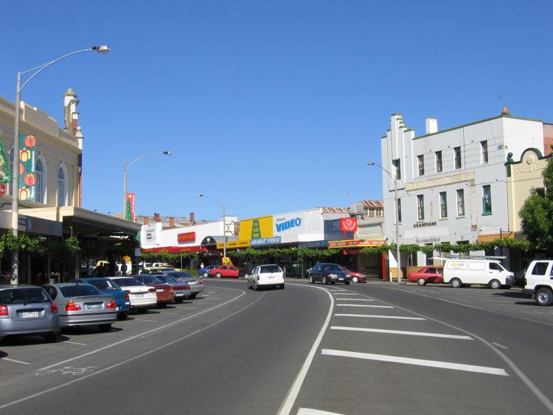
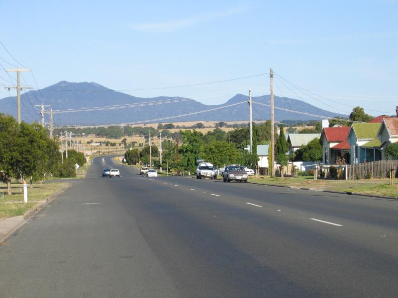
 Commercial centre and shops - View west along Barkly St towards King St
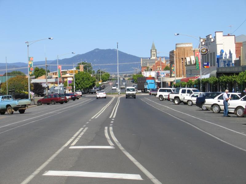
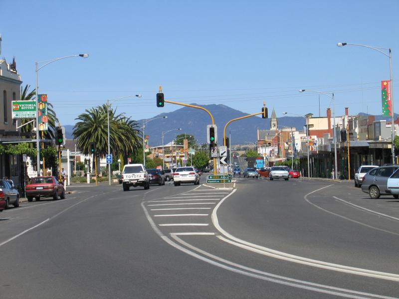
 Commercial centre and shops - View east along Barkly St between Queen St and King St
 Commercial centre and shops - Astor Cinema, corner Barkly St and Queen St
 Commercial centre and shops - Langi Morgala Museum, Queen St
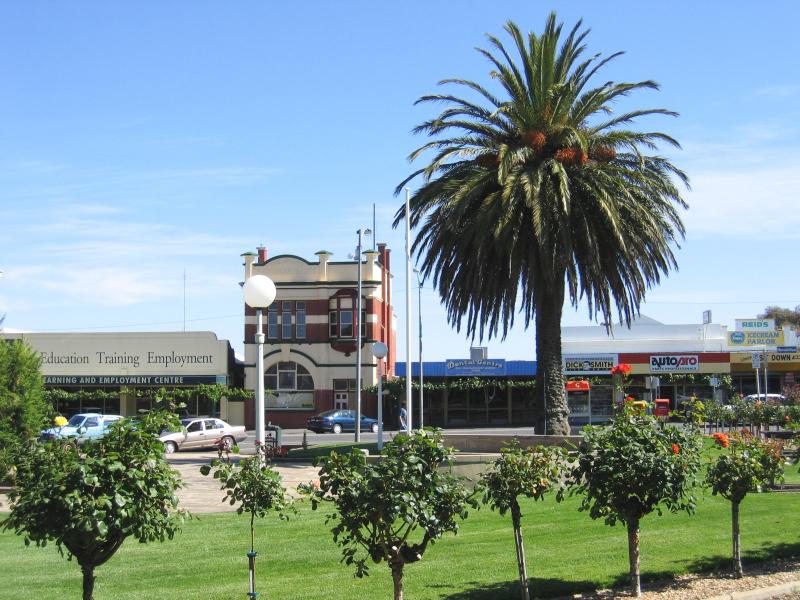
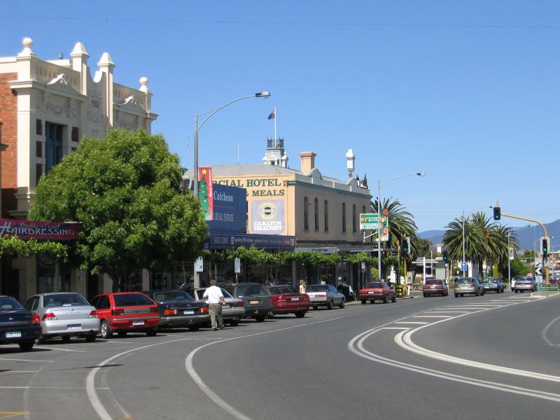
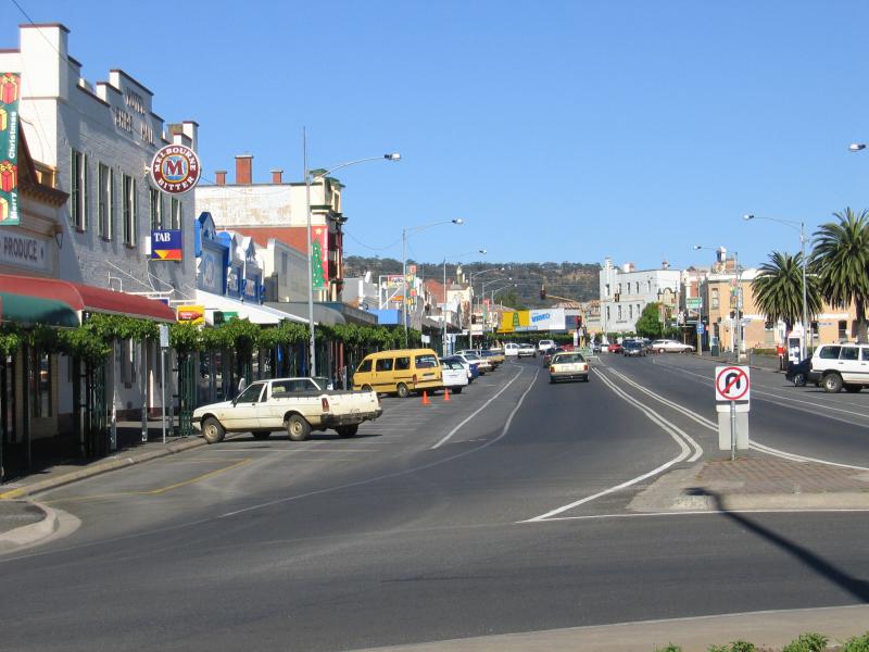 Commercial centre and shops - View west along Barkly St at Queen St
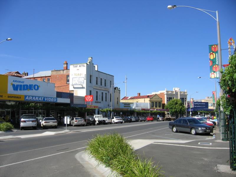
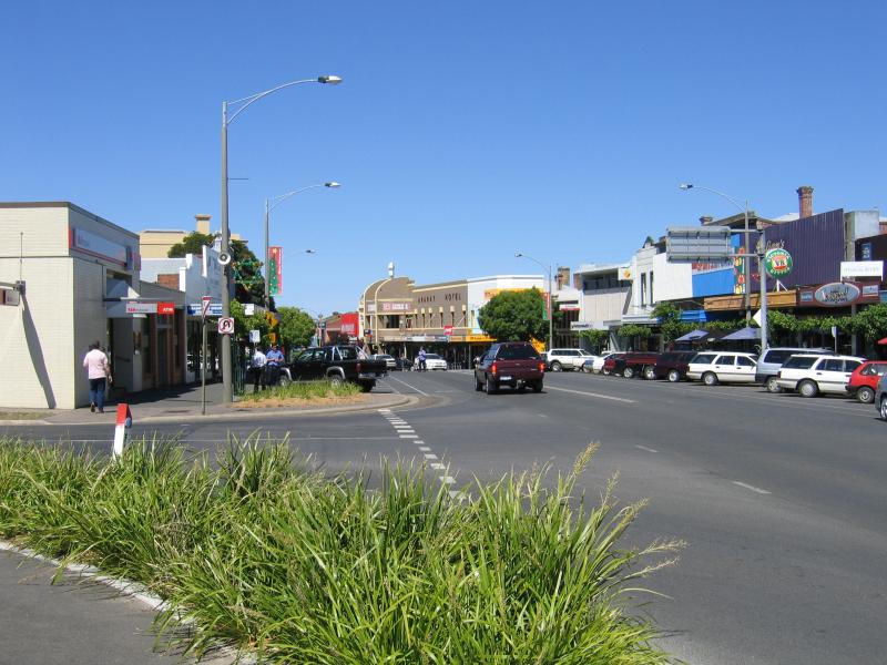
 Commercial centre and shops - View east along Barkly St towards Queen St
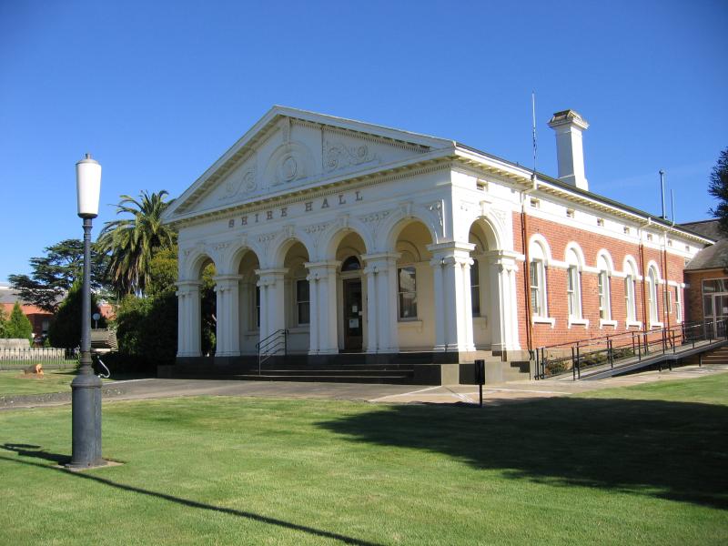 Commercial centre and shops - Old Shire Hall (now Department of Primary Industries), Barkly St
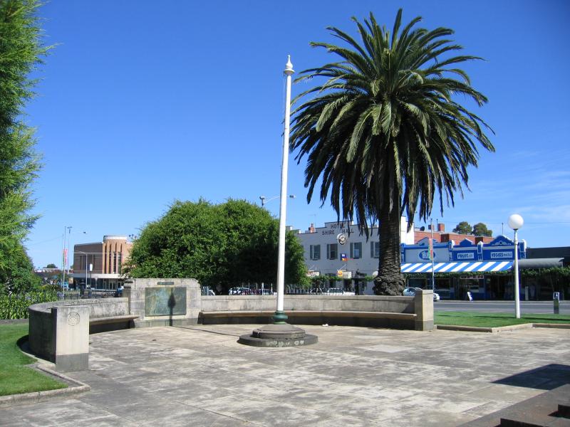
 Commercial centre and shops - War memorial, Barkly St between Town Hall and old Shire Hall
 Commercial centre and shops - View south towards shops on Barkly St from war memorial
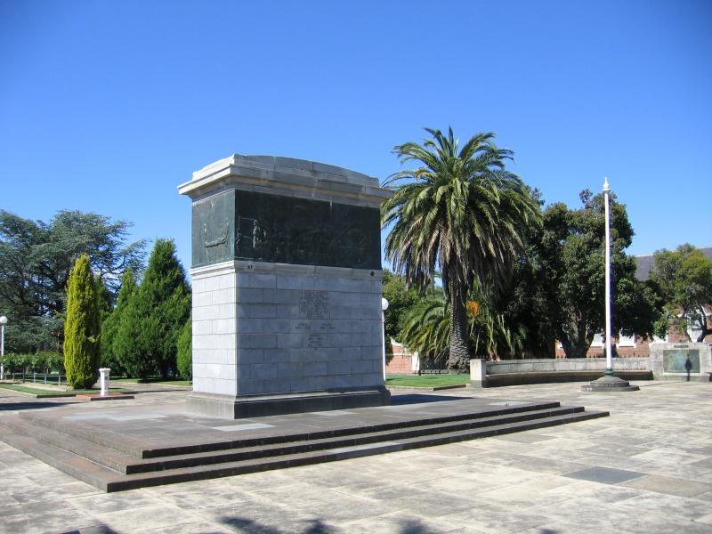
 Commercial centre and shops - War memorial, Barkly St
 Commercial centre and shops - Town Hall and Ararat Regional Art Gallery, Barkly St at Vincent St
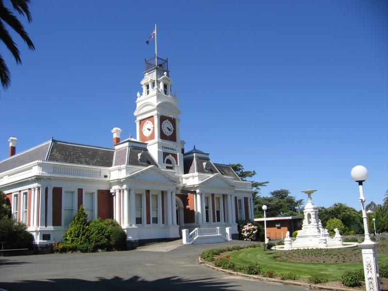
 Commercial centre and shops - Town Hall
 Commercial centre and shops - View west along Barkly St towards Town Hall
 Commercial centre and shops - View east along Barkly St from Town Hall
 Commercial centre and shops - View west along Barkly St from Town Hall
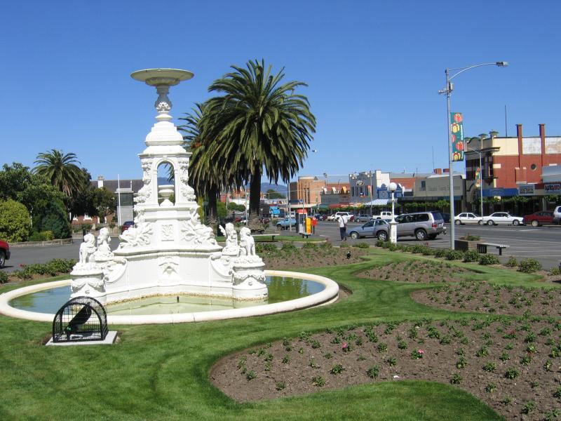
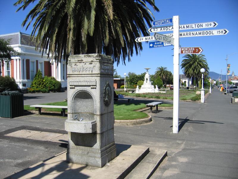 Commercial centre and shops - Memorial drinking fountain, corner Barkly St and Vincent St
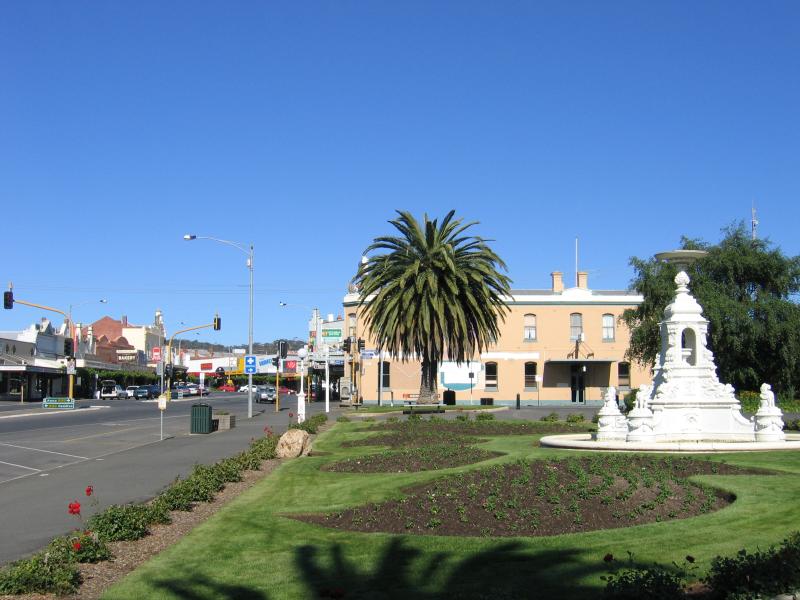
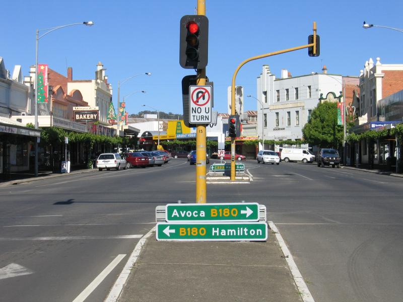
 Commercial centre and shops - View east along Barkly St at Vincent St
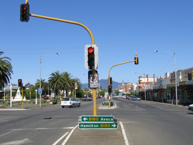 Commercial centre and shops - View east along Barkly St at Vincent St
 Commercial centre and shops - View west along Barkly St at Vincent St
 Commercial centre and shops - View south along Vincent St towards Moore St
 Commercial centre and shops - View east along Barkly St towards Vincent St
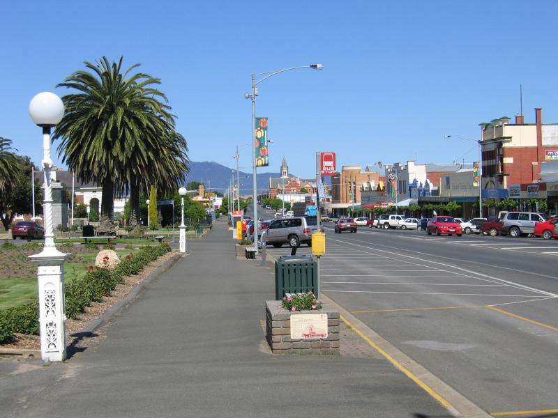
 Commercial centre and shops - View west along Barkly St, just west of Vincent St
 Commercial centre and shops - View east along Barkly St between Vincent St and Ingor St
 Commercial centre and shops - View east along Barkly St towards Vincent St
 Commercial centre and shops - View east along Barkly St between Vincent St and Ingor St
 Commercial centre and shops - Shops on Barkly St between Vincent St and Ingor St
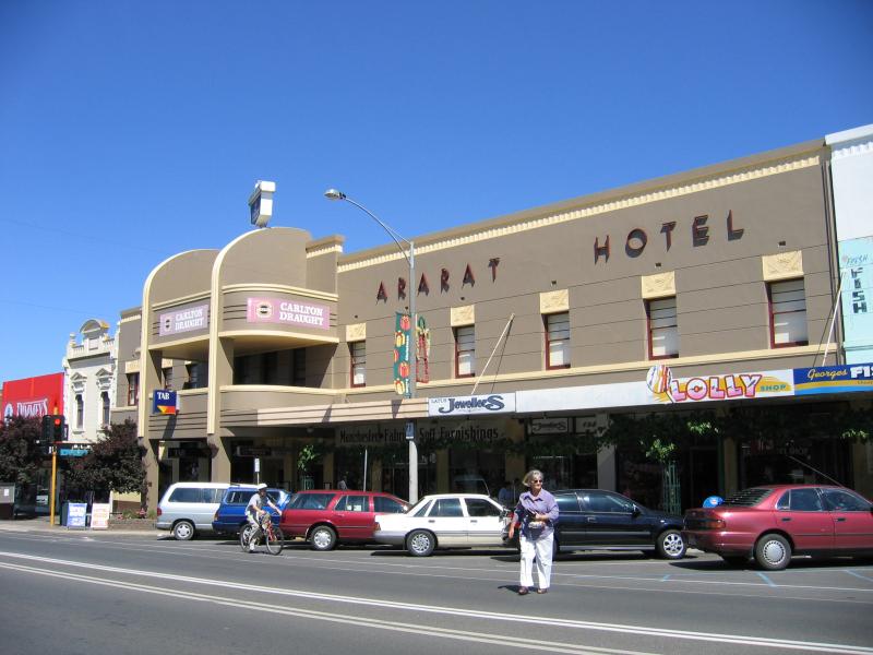 Commercial centre and shops - Ararat Hotel, Barkly St
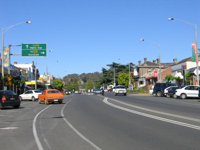 Commercial centre and shops - View west along Barkly St towards Ingor St
 Commercial centre and shops - View east along Barkly St at Ingor St
 Commercial centre and shops - Ararat Post Office, corner Barkly St and Ingor St
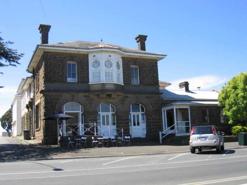 Commercial centre and shops - Vindel House, Barkly St between Ingor St and Ligar St
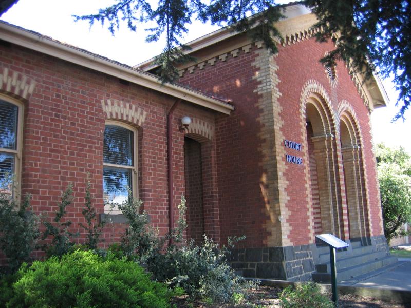 Commercial centre and shops - Court House, Barkly St at Ligar St
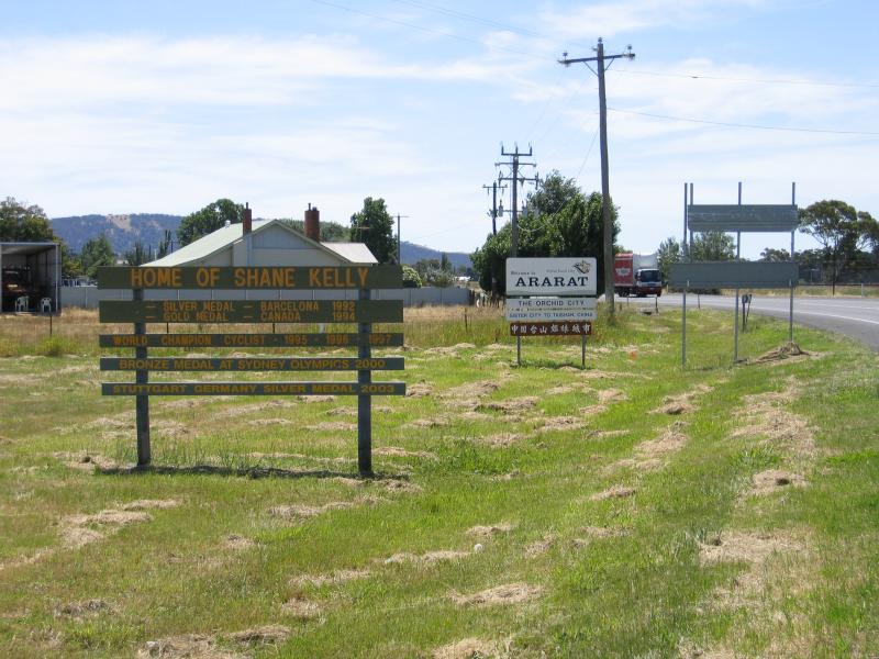 Western Highway through Ararat - Ararat information sign, Western Highway at Heath St
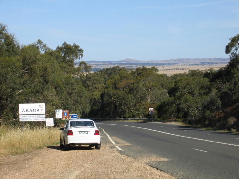
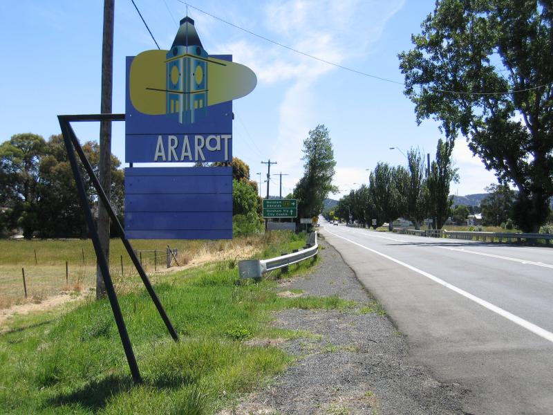 Western Highway through Ararat - Ararat town sign, view west along Western Highway towards Cemetery Creek
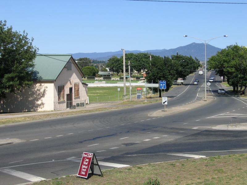 Western Highway through Ararat - View east along Collings St at Ingor St
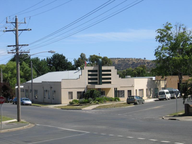
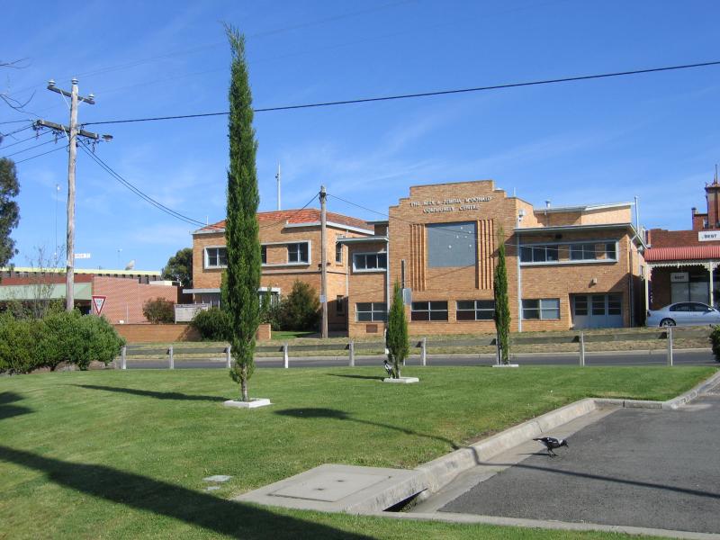 Western Highway through Ararat - Community Centre, High St at Collings St
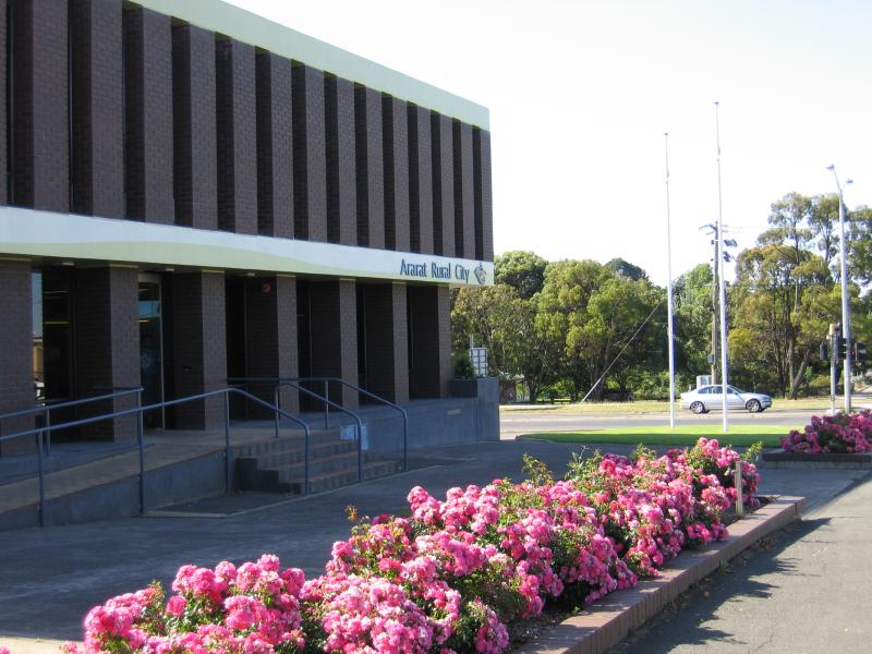 Western Highway through Ararat - Ararat Rural City council offices, corner Vincent St and High St
 Western Highway through Ararat - Old state school, High St between Vincent St and Queen St
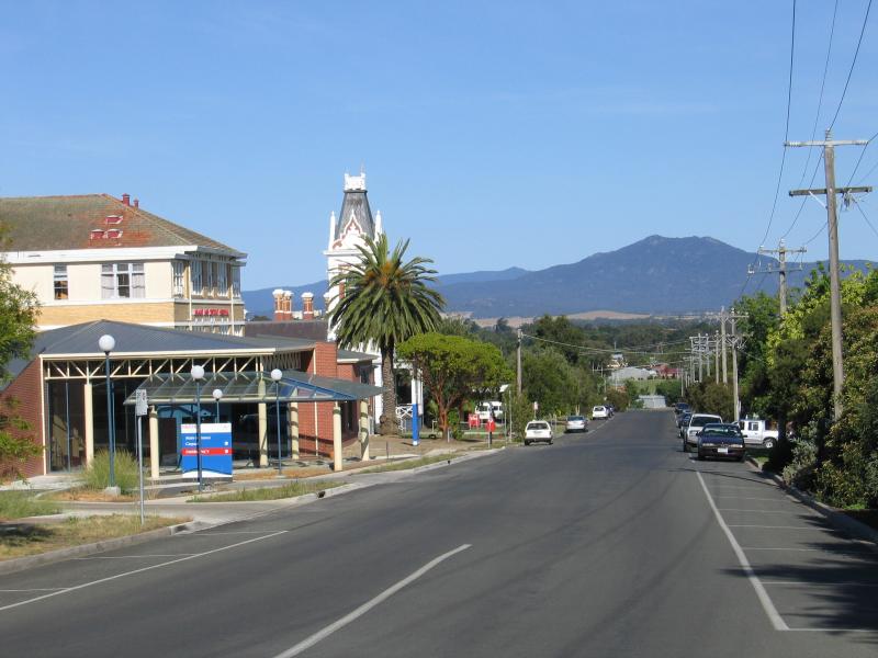
 Western Highway through Ararat - View east along High St at Vincent St
 Western Highway through Ararat - View west along High St at Queen St
 Western Highway through Ararat - View east along High St between Princes St and Albert St
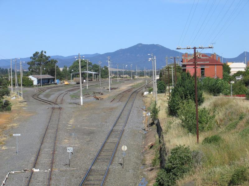
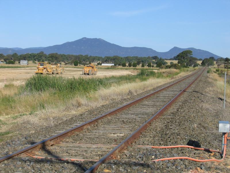 Western Highway through Ararat - View east along railway line at Alfred St
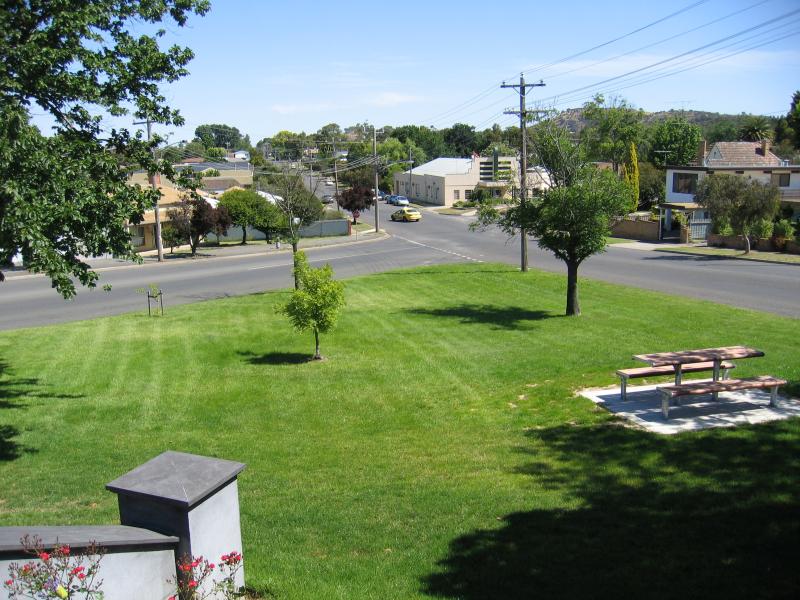
 Alexandra Gardens and Alexandra Oval - View north across lake from Vincent St
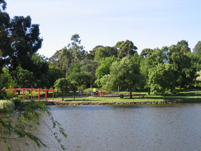
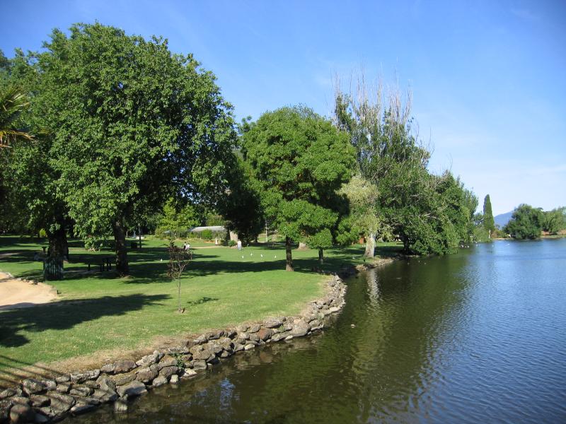
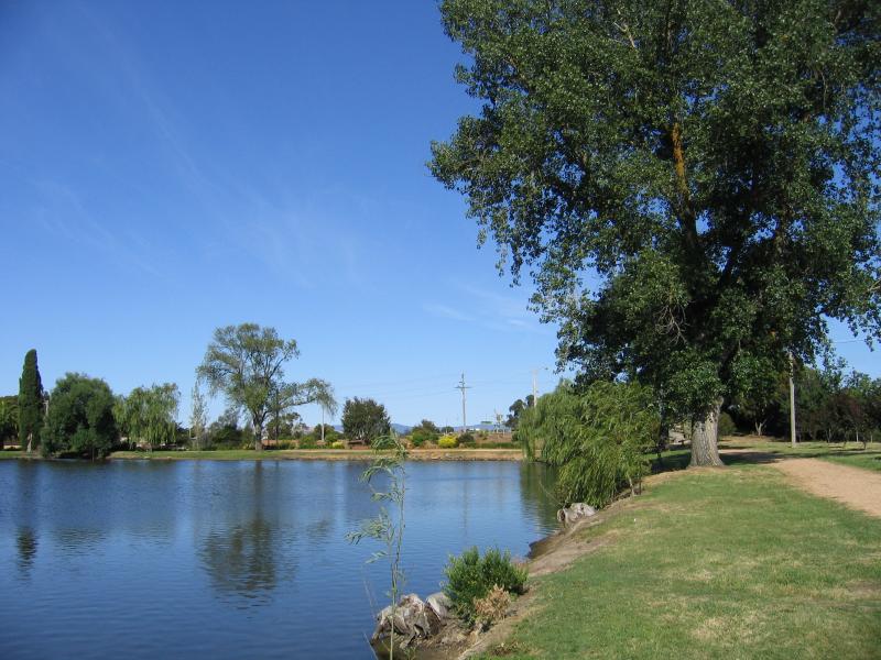 Alexandra Gardens and Alexandra Oval - View east along lake
 Alexandra Gardens and Alexandra Oval - View north across lake
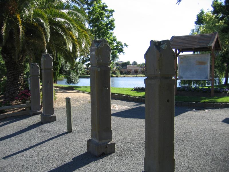 Alexandra Gardens and Alexandra Oval - Entrance to park at Vincent St
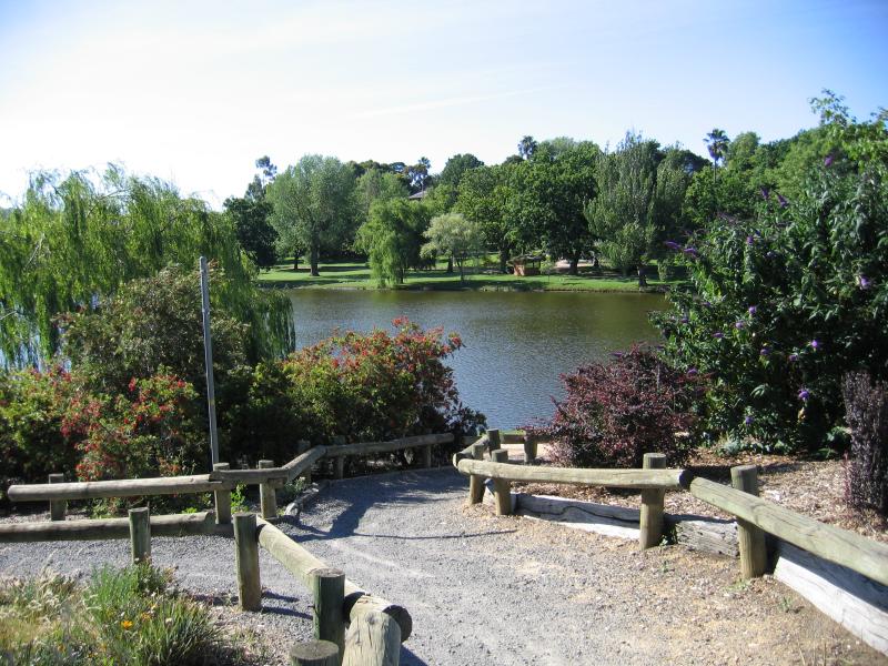
 Alexandra Gardens and Alexandra Oval - View south through gardens towards entrance at Vincent St
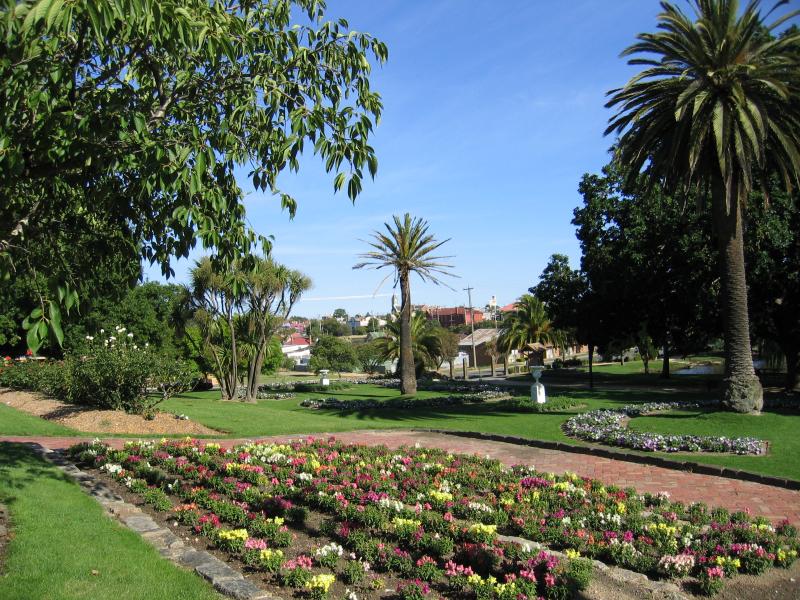 Alexandra Gardens and Alexandra Oval - Garden beds
 Alexandra Gardens and Alexandra Oval - Wishing well
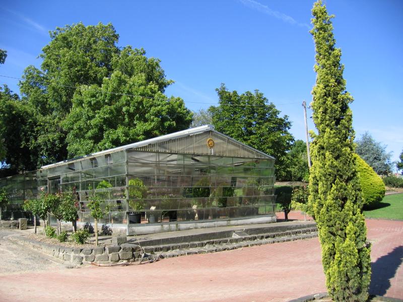 Alexandra Gardens and Alexandra Oval - Conservatory
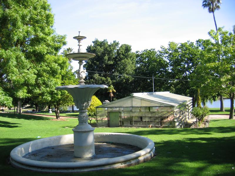 Alexandra Gardens and Alexandra Oval - Fountain and conservatory
 Alexandra Gardens and Alexandra Oval - View east along lake
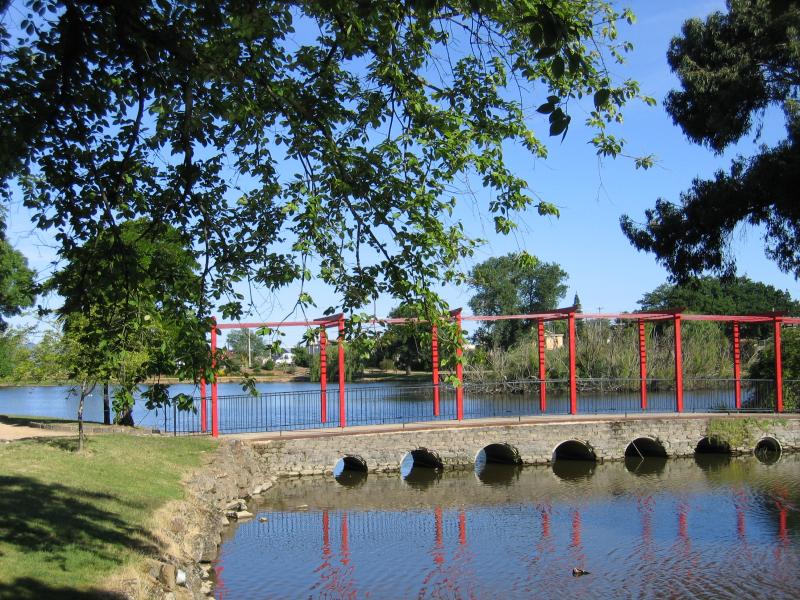 Alexandra Gardens and Alexandra Oval - Bridge across lake
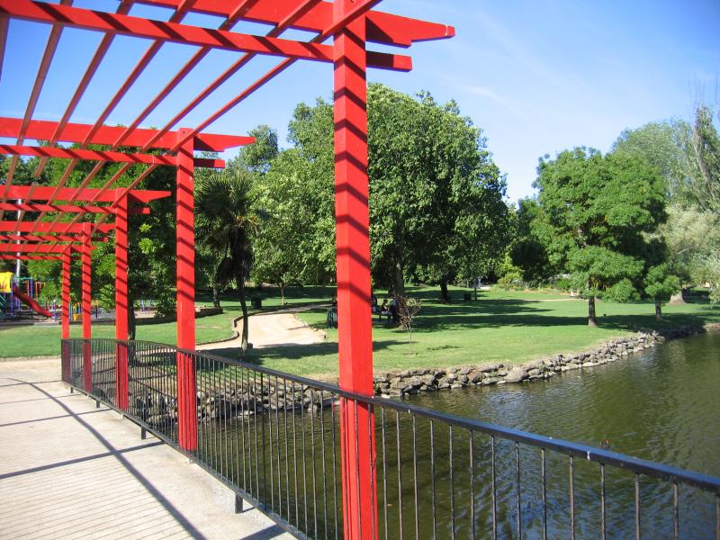 Alexandra Gardens and Alexandra Oval - Bridge across lake
 Alexandra Gardens and Alexandra Oval - View south-east along Waratah Av towards Alexandra Oval entrance
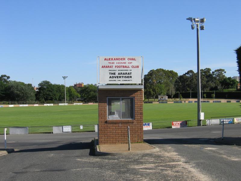
 Alexandra Gardens and Alexandra Oval - Alexandra Oval
 Vincent Street and around hospital - View north along Vincent St with hospital in distance
 Vincent Street and around hospital - View east along railway line from bridge at Vincent St
 Vincent Street and around hospital - View east along Girdlestone St towards Vincent St and hospital
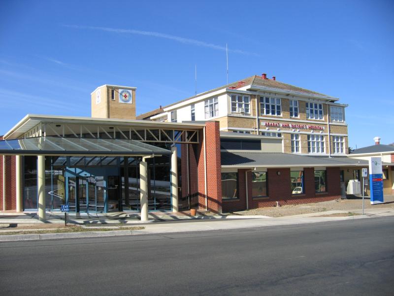 Vincent Street and around hospital - Ararat and District Hospital, Girdlestone St
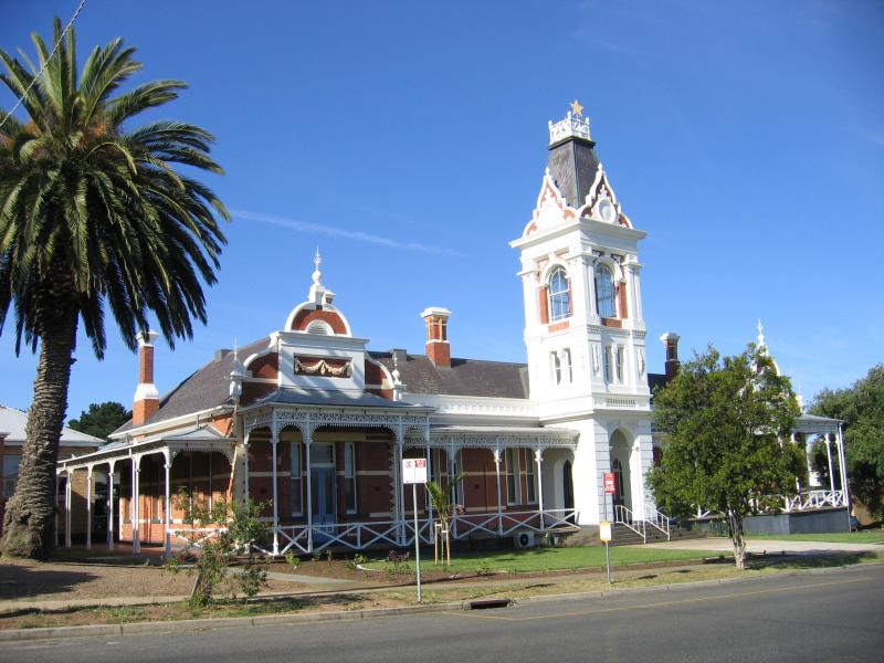 Vincent Street and around hospital - Pyrenees House, part of hospital, Girdlestone St
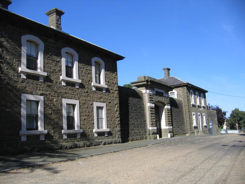 Vincent Street and around hospital - J Ward, Girdlestone St
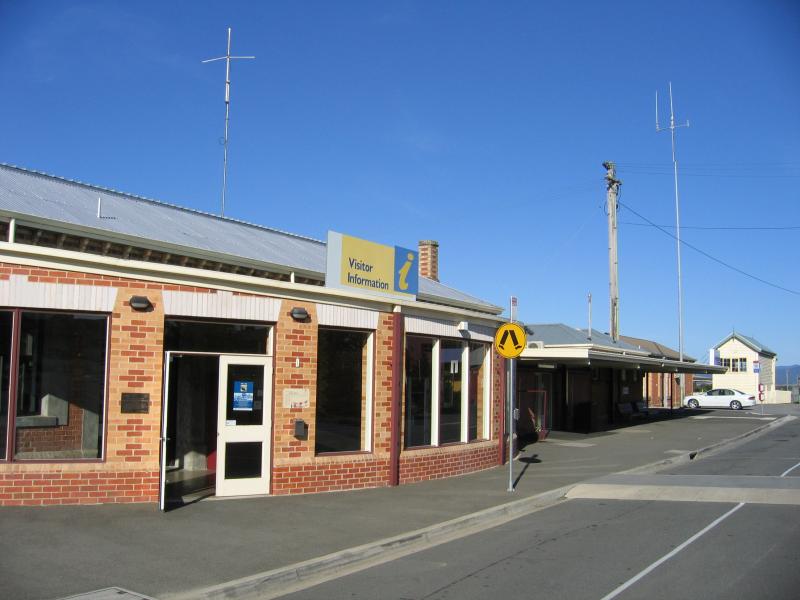
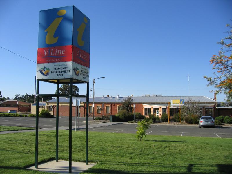 Ararat railway station and Visitor Information Centre, High Street - Railway station and Visitor Information Centre, viewed from High St
 Ararat railway station and Visitor Information Centre, High Street - View west along High St from station
 Ararat railway station and Visitor Information Centre, High Street - Railway station
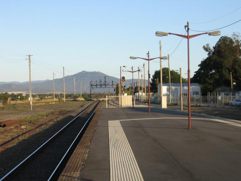 Ararat railway station and Visitor Information Centre, High Street - View east along platform at railway station
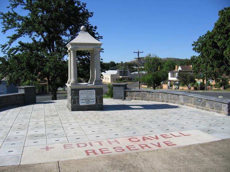 Around Ararat and outskirts - Edith Cavell Reserve and monument to nurses
 Around Ararat and outskirts - Edith Cavell Reserve, view south along View Point St towards Taylor St
 Around Ararat and outskirts - McGregor House, corner Tobin St and View Point St
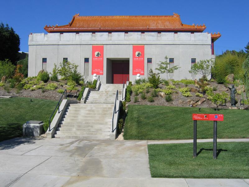 Around Ararat and outskirts - Gum San Chinese heritage centre, Lambert St
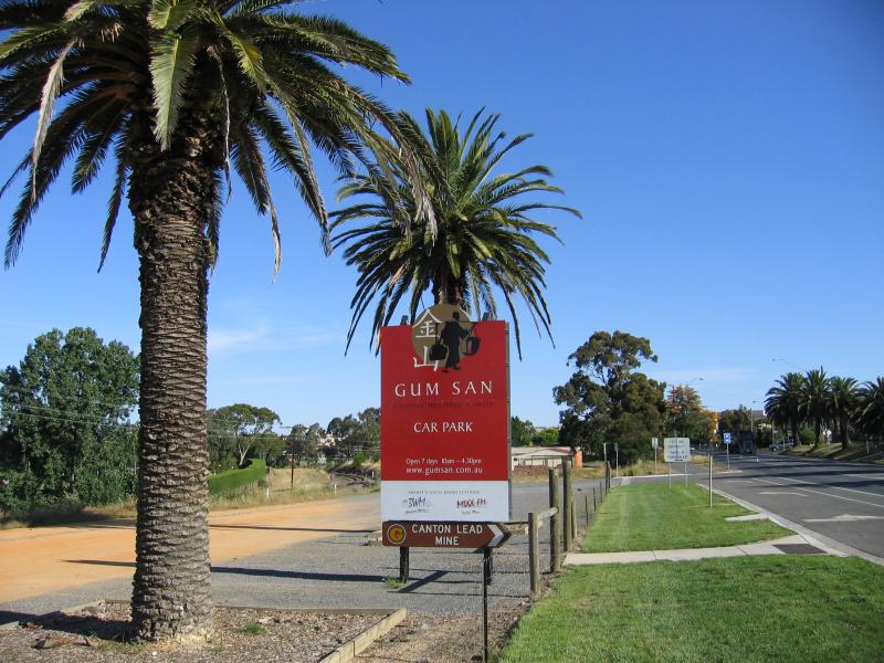 Around Ararat and outskirts - Opposite Gum San Chinese heritage centre, view south-east along Lambert St
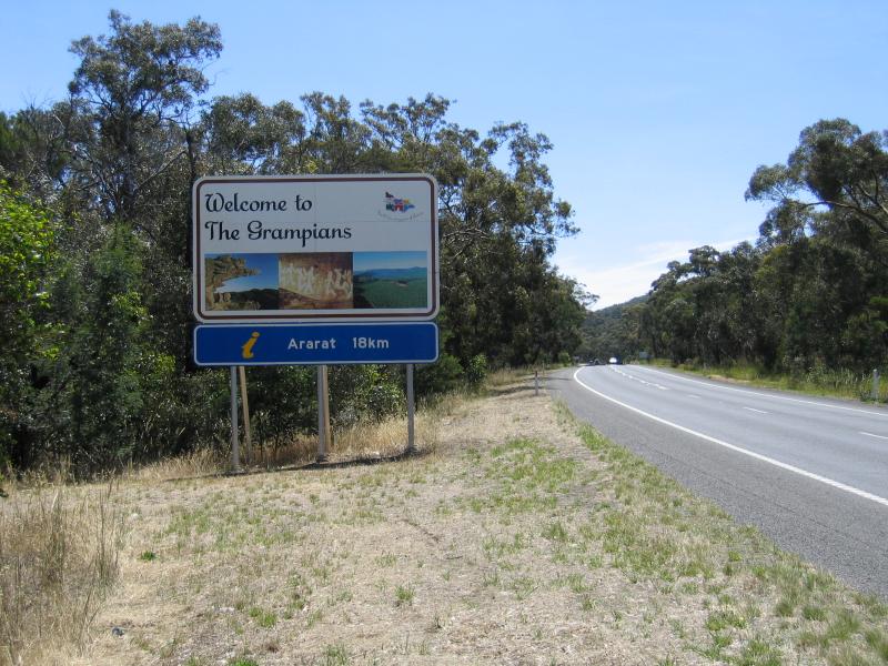 Around Ararat and outskirts - Welcome to the Grampians tourist region sign, Western Highway, 18 km east of Ararat
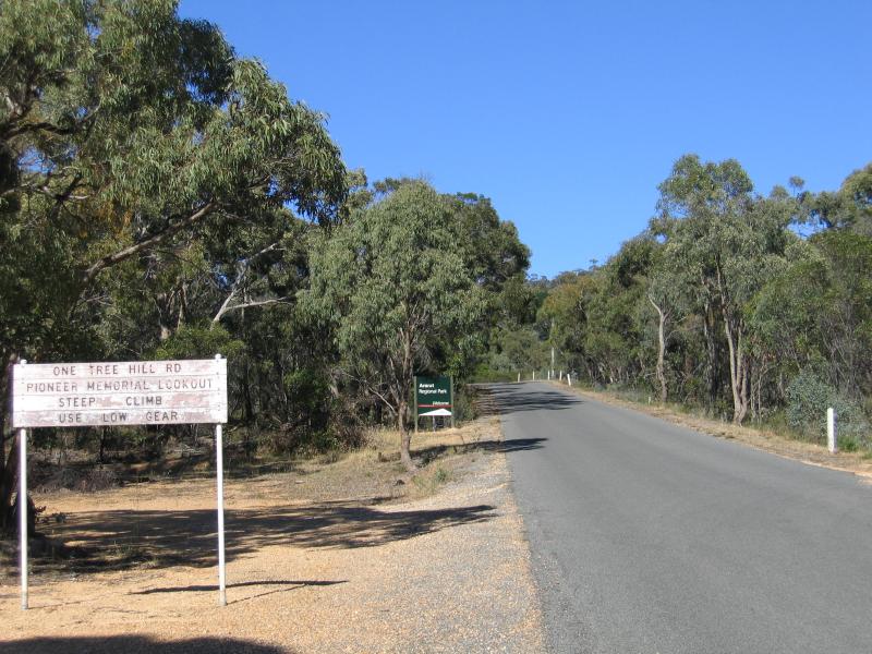
 One Tree Hill and Pioneer Memorial Lookout - View north-west along One Tree Hill Rd, east of McDonald Park Rd
 One Tree Hill and Pioneer Memorial Lookout - One Tree Hill Rd, near McDonald Park Rd
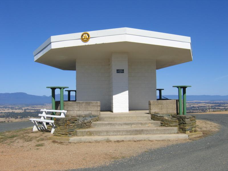 One Tree Hill and Pioneer Memorial Lookout - Monument at lookout
 One Tree Hill and Pioneer Memorial Lookout - North-easterly view from lookout
 One Tree Hill and Pioneer Memorial Lookout - Easterly view from lookout
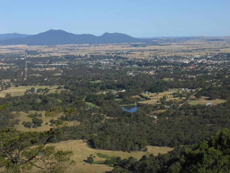
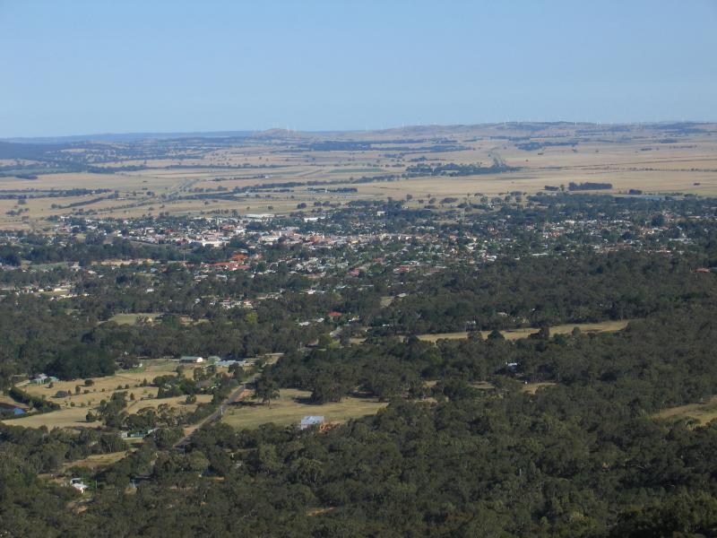 One Tree Hill and Pioneer Memorial Lookout - South-easterly view from lookout towards Ararat town centre
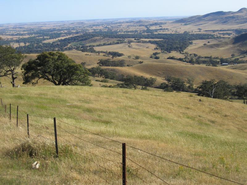 One Tree Hill and Pioneer Memorial Lookout - Southerly view
 One Tree Hill and Pioneer Memorial Lookout - Southerly view
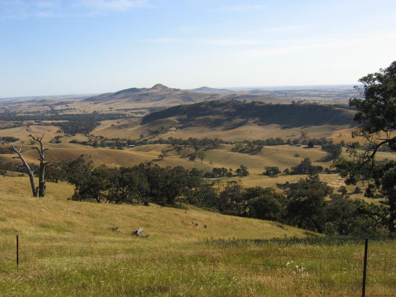
 One Tree Hill and Pioneer Memorial Lookout - South-westerly view
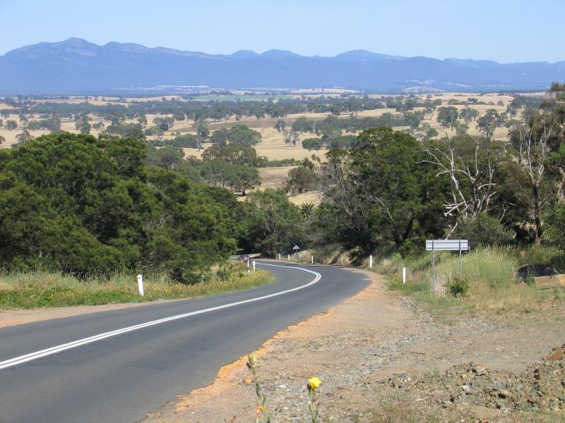
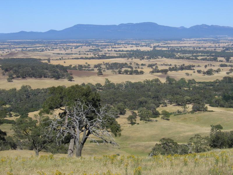 One Tree Hill and Pioneer Memorial Lookout - Westerly view towards Mount William Range at Grampians National Park
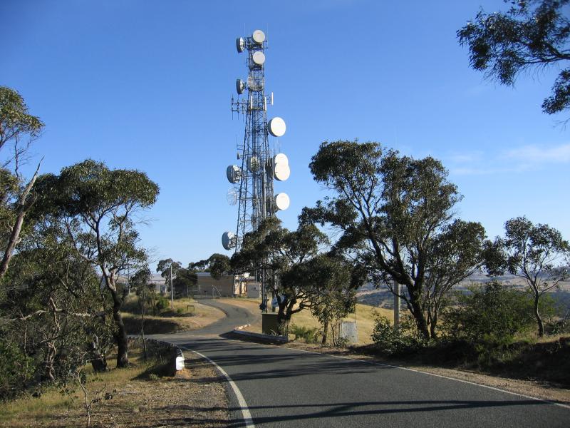 One Tree Hill and Pioneer Memorial Lookout - View south along One Tree Hill Rd towards communications tower, south of lookout
 One Tree Hill and Pioneer Memorial Lookout - View east across One Tree Hill Rd towards Ararat from communications tower
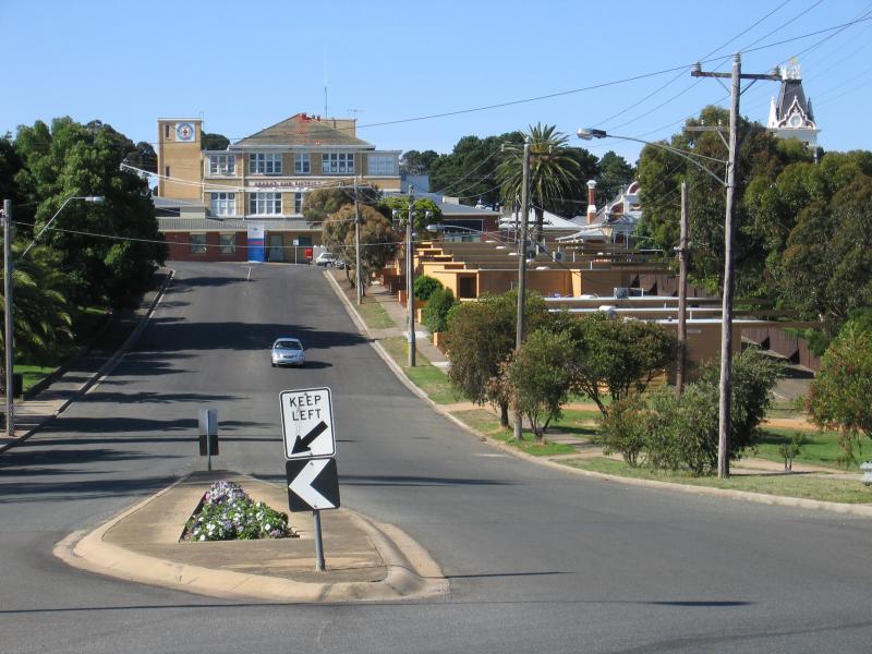
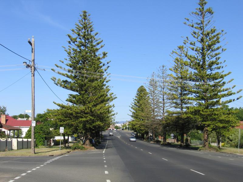 Ararat - Pomonal Road - View east along Barkly St at Laby St
 Ararat - Pomonal Road - View east along Ararat - Pomonal Road on east side of Copes Hill
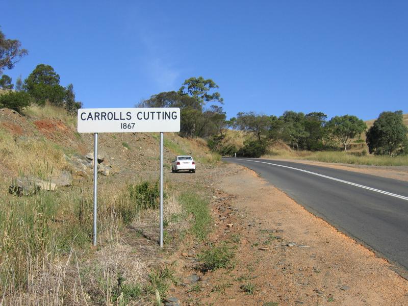
 Ararat - Pomonal Road - Carrolls Cutting, view west along Ararat - Pomonal Road towards Mount William Range at Grampians National Park
 Ararat - Pomonal Road - View east along Ararat - Pomonal Road at Carrolls Cutting
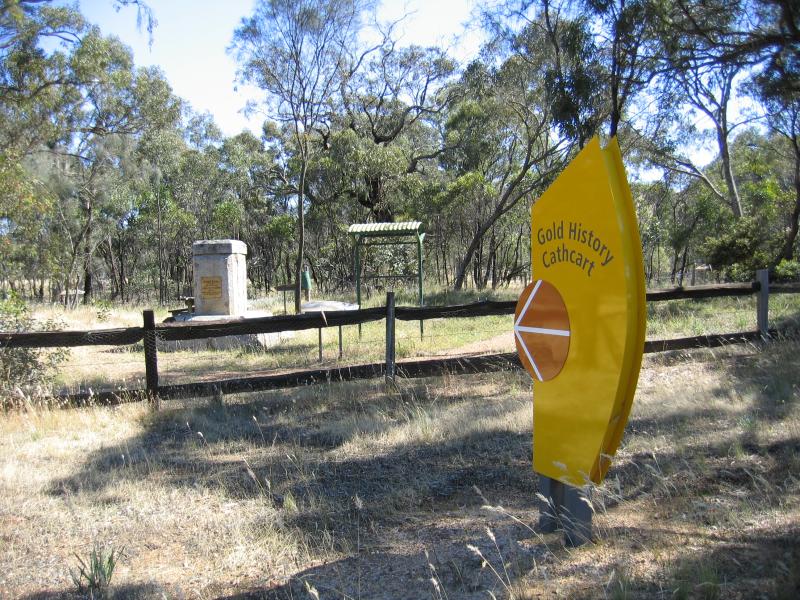 Ararat - Pomonal Road - Cathcart, Pinky Point historical site
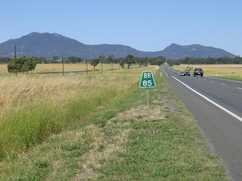 Green Hill Lake, Western Highway, 4 km east of Ararat - View west along Western Highway, near Green Hill Lake turn-off
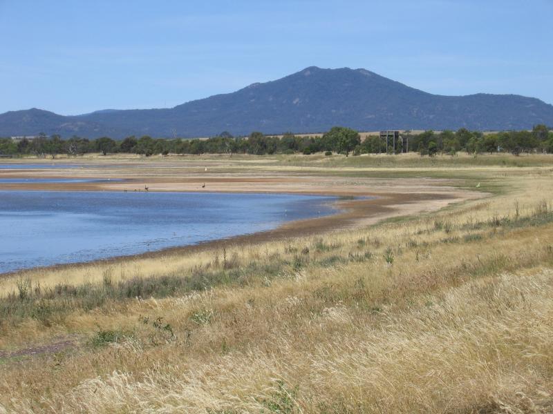 Green Hill Lake, Western Highway, 4 km east of Ararat - View across Green Hill Lake at dam wall
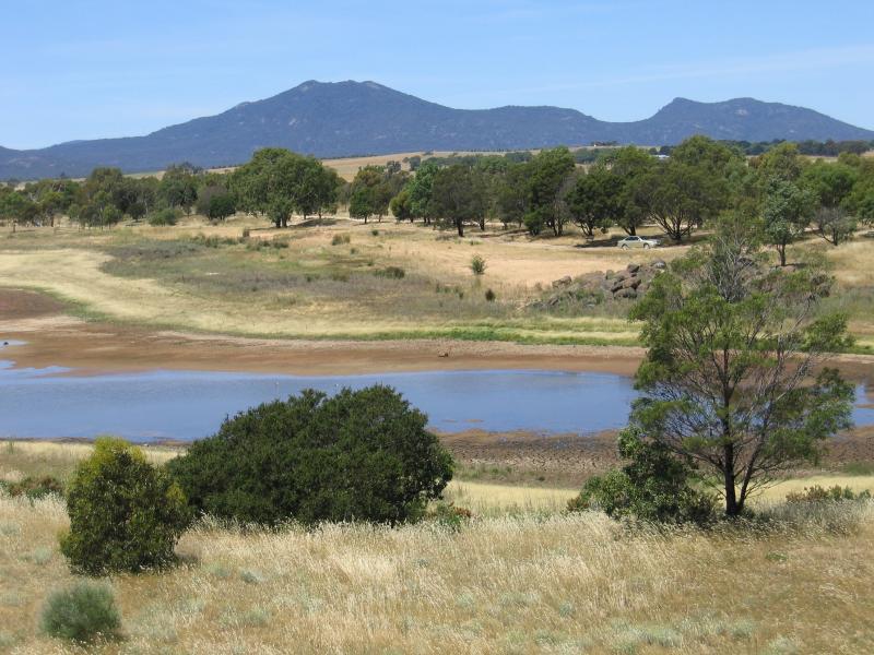
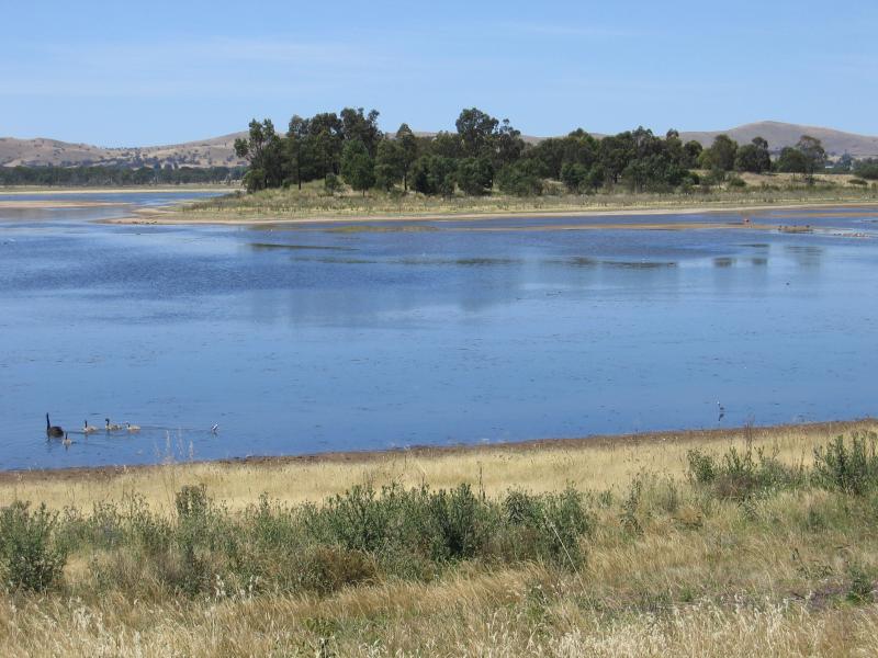 Green Hill Lake, Western Highway, 4 km east of Ararat - View across Green Hill Lake at dam wall
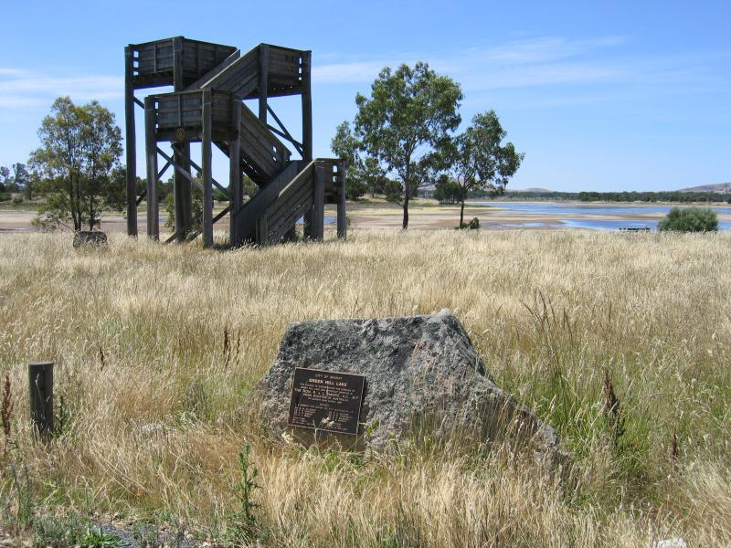 Green Hill Lake, Western Highway, 4 km east of Ararat - Lookout tower
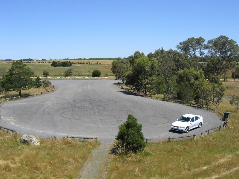 Green Hill Lake, Western Highway, 4 km east of Ararat - View towards car park from lookout tower
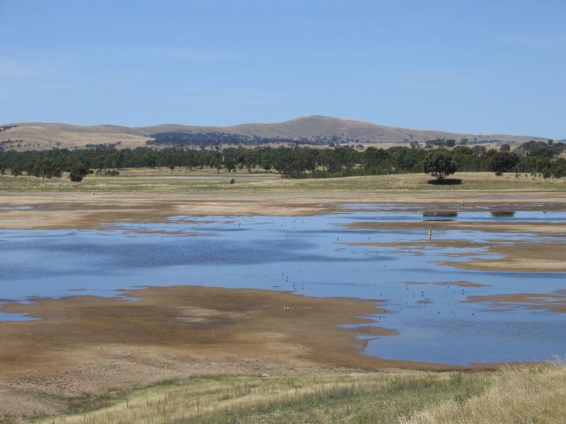 Green Hill Lake, Western Highway, 4 km east of Ararat - View across lake from lookout tower
 Green Hill Lake, Western Highway, 4 km east of Ararat - View east across lake from lookout tower