Ballarat - photos
Ballarat
Stay
See and do
Food and drink
Shopping
Getting around
Visitor information
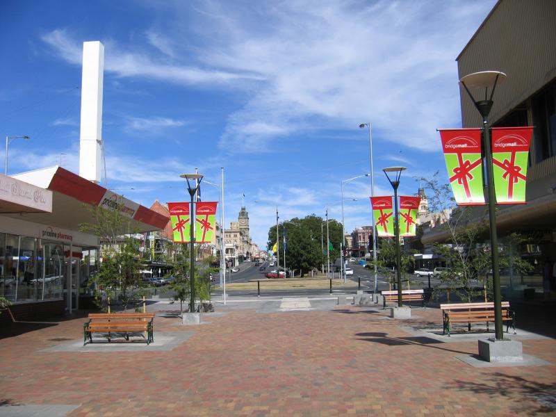
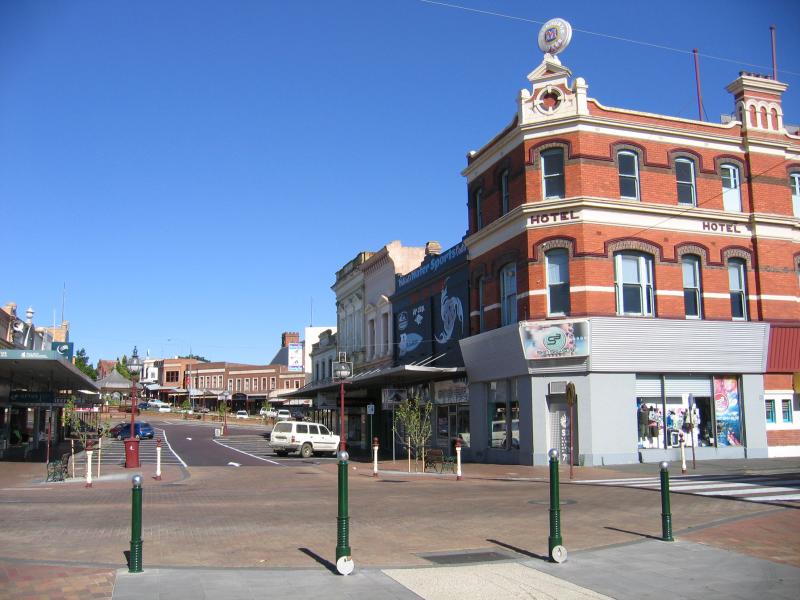
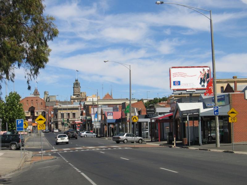
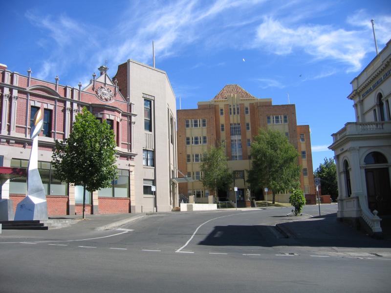
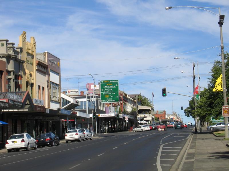
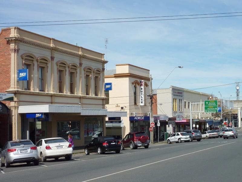
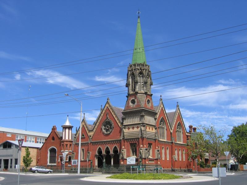
 Bridge Street Mall, Bakery Hill and surroundings - View east along Sturt St at Grenville St towards Bridge Mall
 Bridge Street Mall, Bakery Hill and surroundings - View east along Bridge Mall at Grenville St
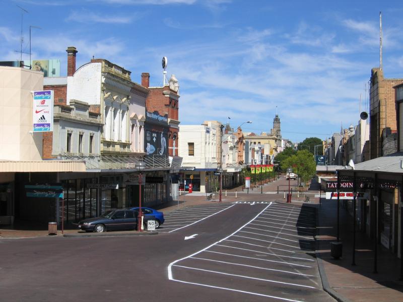
 Bridge Street Mall, Bakery Hill and surroundings - View west along Bridge Mall towards Sturt St and Grenville St
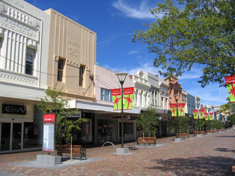
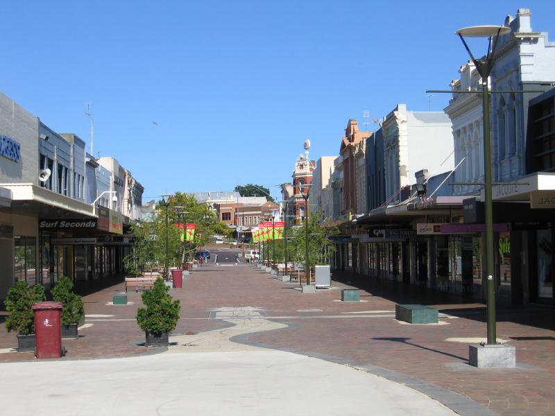 Bridge Street Mall, Bakery Hill and surroundings - Bridge Mall
 Bridge Street Mall, Bakery Hill and surroundings - Bridge Mall
 Bridge Street Mall, Bakery Hill and surroundings - View east along Bridge St at Peel St
 Bridge Street Mall, Bakery Hill and surroundings - View west along Bridge St towards Peel St
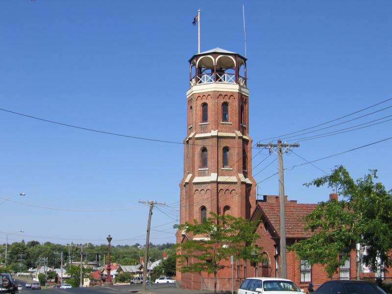
 Bridge Street Mall, Bakery Hill and surroundings - Rotunda, corner Bridge St and Little Bridge St
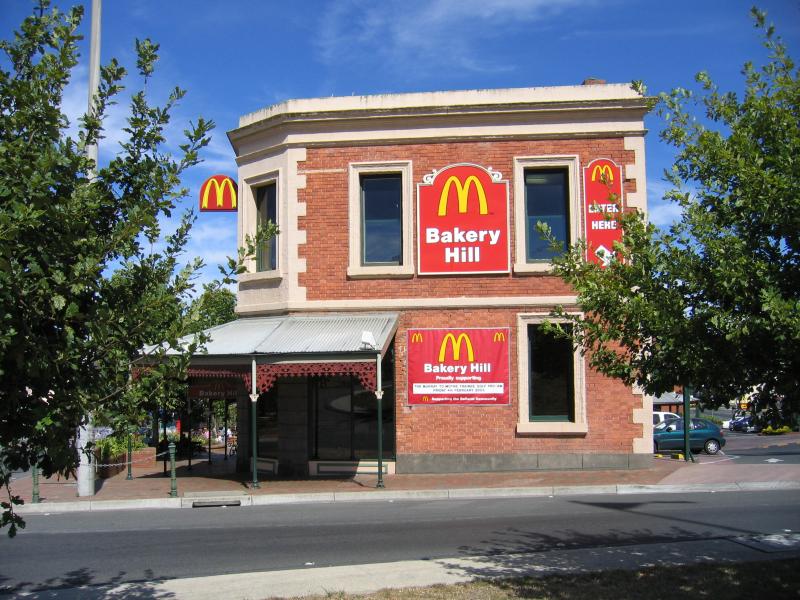 Bridge Street Mall, Bakery Hill and surroundings - Bakery Hill McDonalds, Humffray St at Little Bridge St
 Bridge Street Mall, Bakery Hill and surroundings - View west along Victoria St at Little Bridge St
 Bridge Street Mall, Bakery Hill and surroundings - View west along Curtis St towards Peel St
 Bridge Street Mall, Bakery Hill and surroundings - View west along Little Bridge St between Peel St and Grenville St
 Bridge Street Mall, Bakery Hill and surroundings - View west along Little Bridge St at Grenville St
 Bridge Street Mall, Bakery Hill and surroundings - View north along Grenville St between Little Bridge St and Sturt St
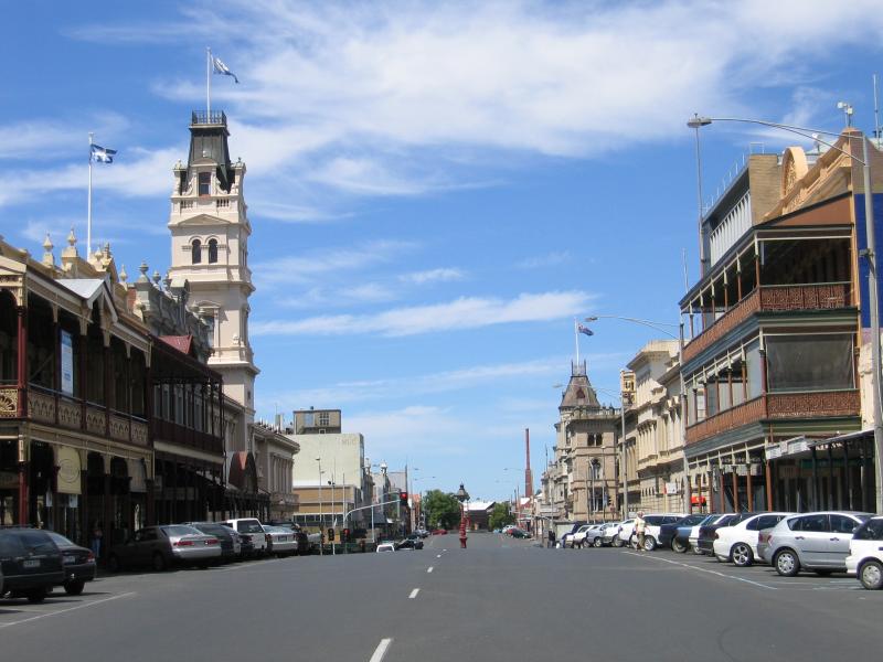
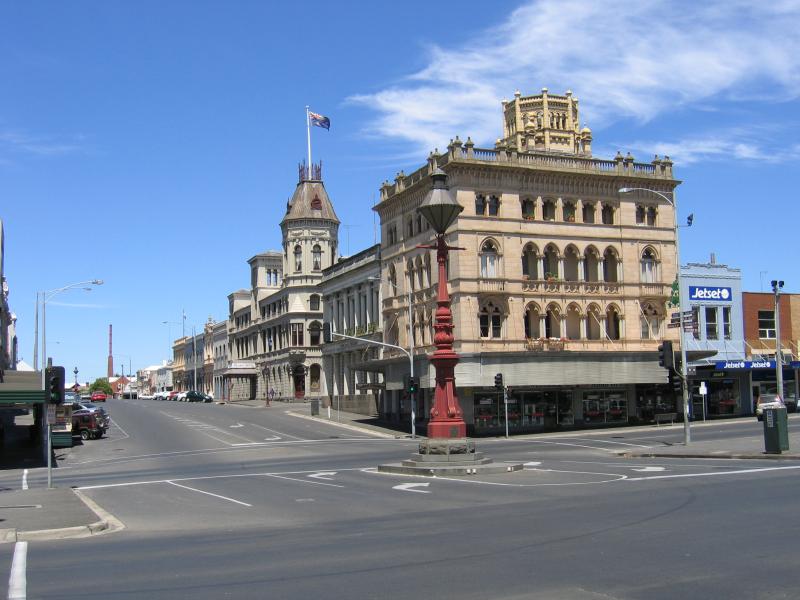
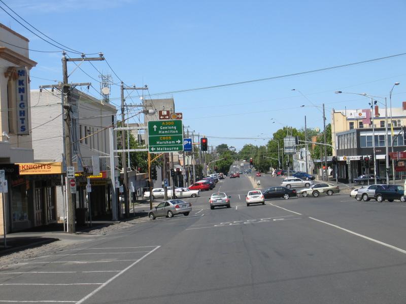
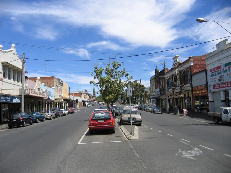
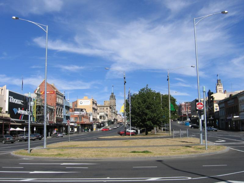 Shops and commercial centre in Sturt Street - View west along Sturt St at Grenville St
 Shops and commercial centre in Sturt Street - View west along Sturt St between Albert St and Grenville St
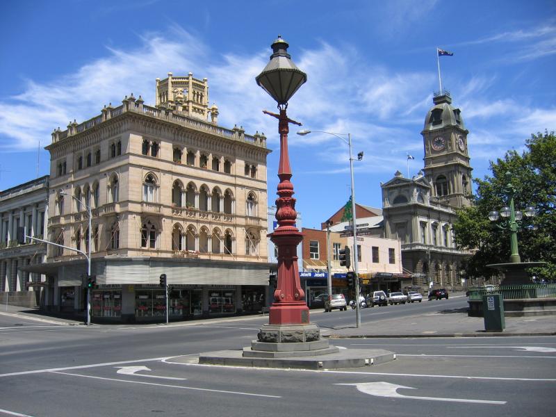
 Shops and commercial centre in Sturt Street - View east along Sturt St between Camp St and Grenville St
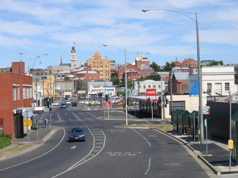
 Shops and commercial centre in Sturt Street - View north along Camp St at Sturt St
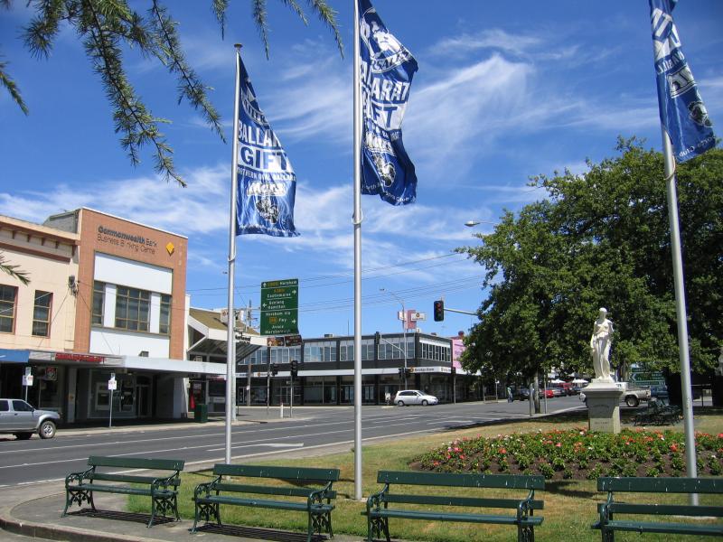
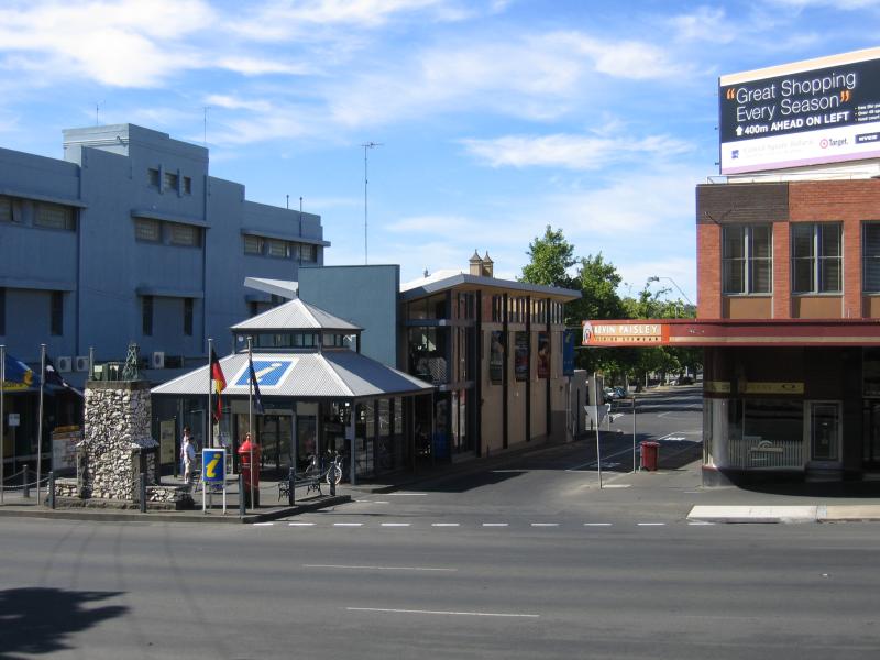 Shops and commercial centre in Sturt Street - View south along Albert St at Sturt St towards Visitor Information Centre
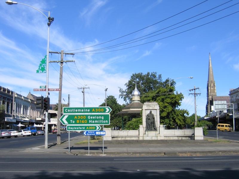
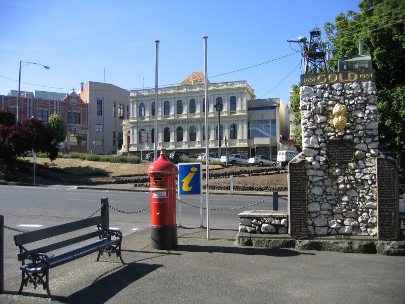 Shops and commercial centre in Sturt Street - 100 years of gold discovery monument at Visitor Information Centre, Albert St at Sturt St
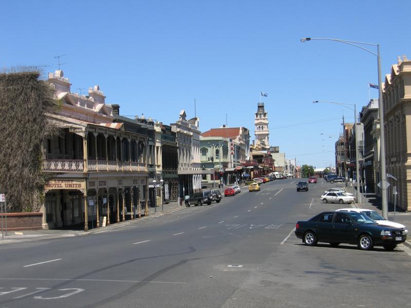
 Shops and commercial centre in Sturt Street - View west along Sturt St at Lydiard St
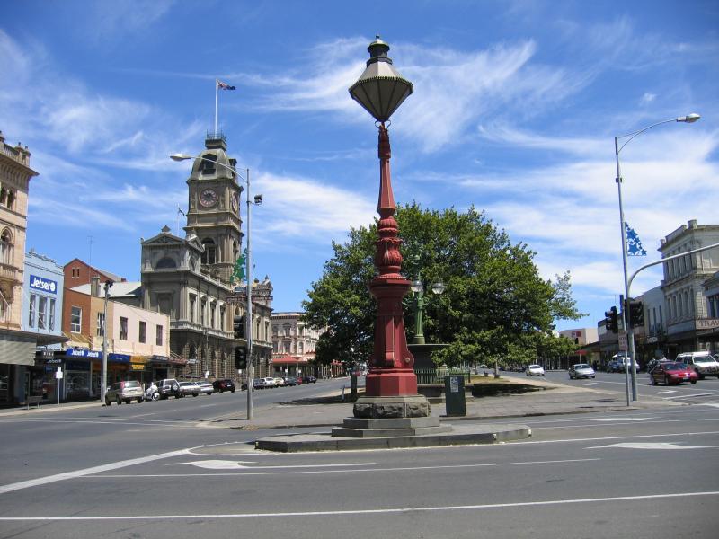 Shops and commercial centre in Sturt Street - View west along Sturt St at Lydiard St
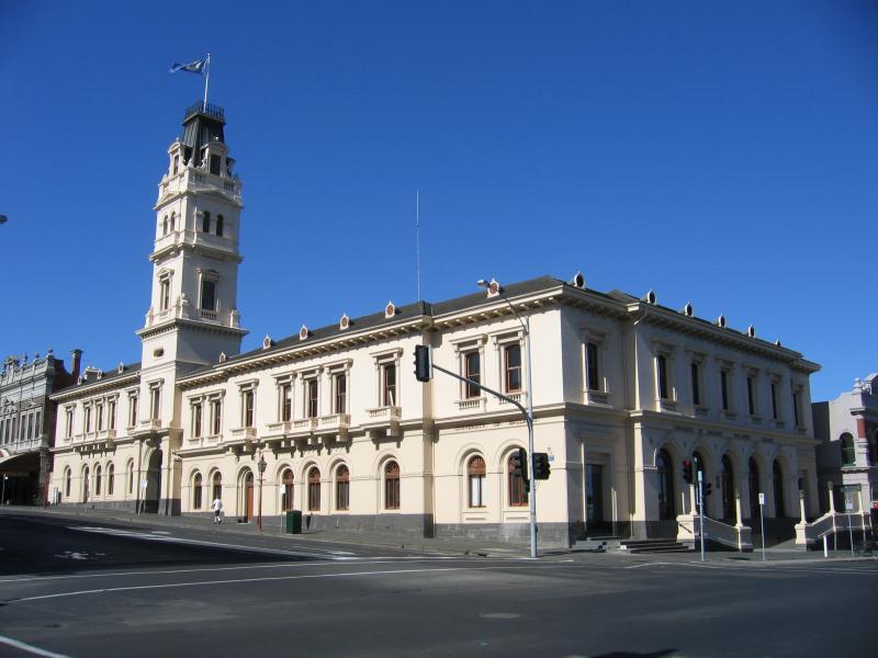
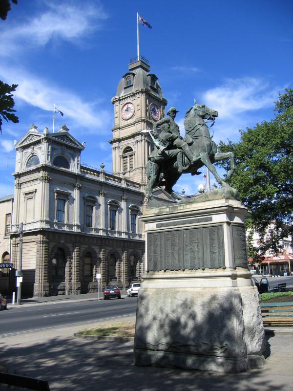 Shops and commercial centre in Sturt Street - Town Hall, view west along Sturt St towards Armstrong St
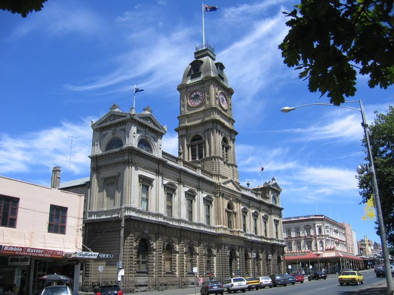 Shops and commercial centre in Sturt Street - Town Hall, view west along Sturt St towards Armstrong St
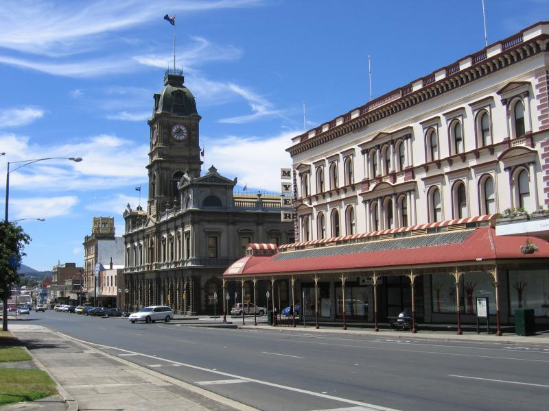 Shops and commercial centre in Sturt Street - View east along Sturt St towards Armstrong St and Town Hall
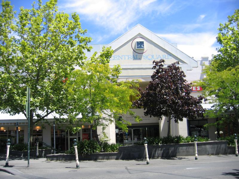
 Shops and commercial centre in Sturt Street - Myer at Central Square Shopping Centre, corner Armstrong St at Sturt St
 Shops and commercial centre in Sturt Street - View west along Sturt St at Armstrong St
 Shops and commercial centre in Sturt Street - View west along Sturt St towards Doveton St
 Shops and commercial centre in Sturt Street - View west along gardens in middle of Sturt St towards Doveton St
 Shops and commercial centre in Sturt Street - View west along Sturt St at Doveton St
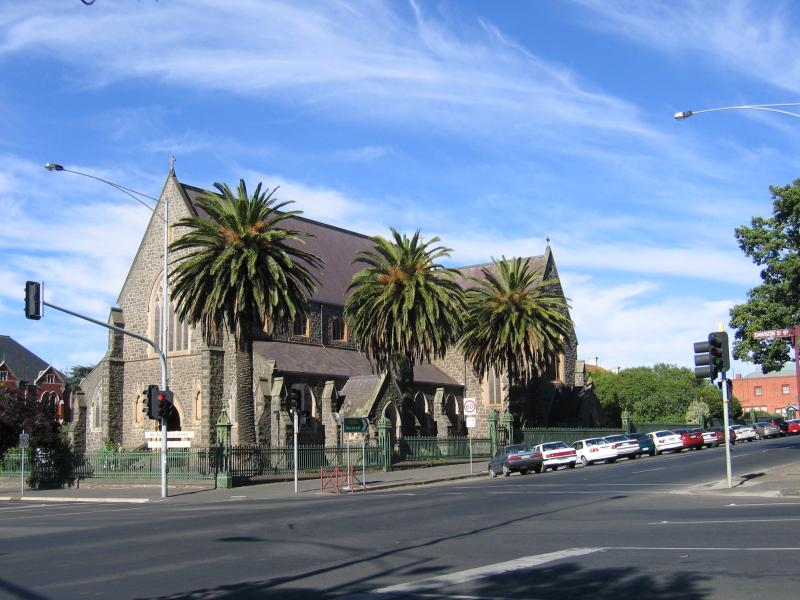 Shops and commercial centre in Sturt Street - St Patricks Cathedral, corner Sturt St and Dawson St
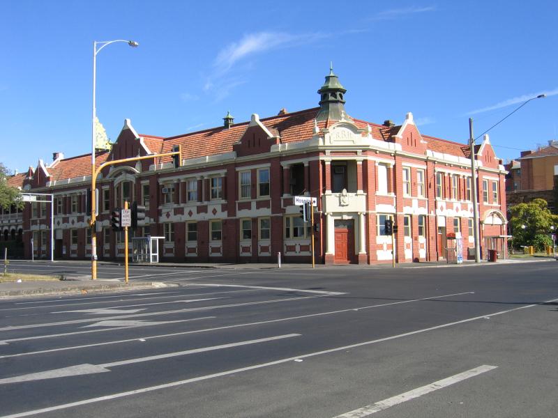 Shops and commercial centre in Sturt Street - Ballarat Base Hospital, corner Drummond St and Sturt St
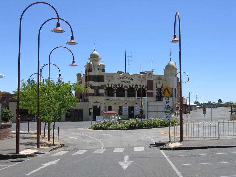 Lydiard Street area - Provincial Hotel, corner Lydiard St and Ararat St
 Lydiard Street area - View south along Lydiard St towards Market St
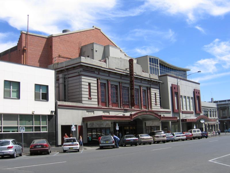 Lydiard Street area - Regent Theatre, Lydiard St between Mair St and Sturt St
 Lydiard Street area - View south along Lydiard St between Mair St and Sturt St
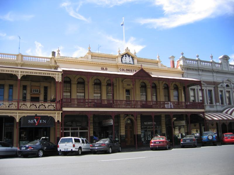 Lydiard Street area - Old Colonists Hall, Lydiard St between Mair St and Sturt St
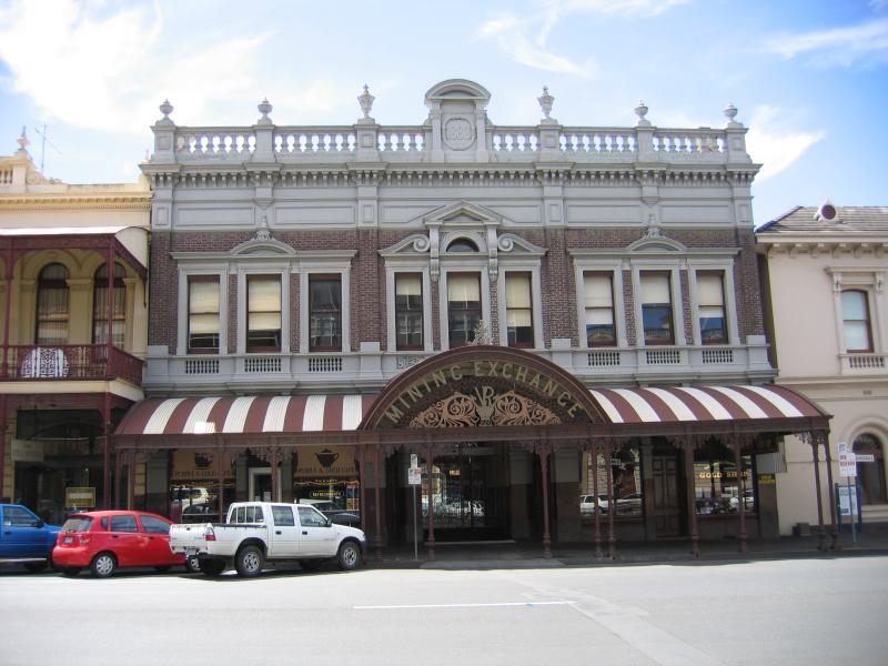 Lydiard Street area - Mining Exchange, Lydiard St between Mair St and Sturt St
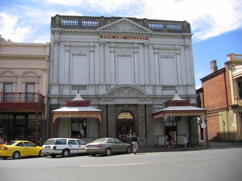 Lydiard Street area - Fine Art Gallery, Lydiard St between Mair St and Sturt St
 Lydiard Street area - University of Ballarat Post Office Building, corner Lydiard St and Sturt St
 Lydiard Street area - View south along Lydiard St at Sturt St
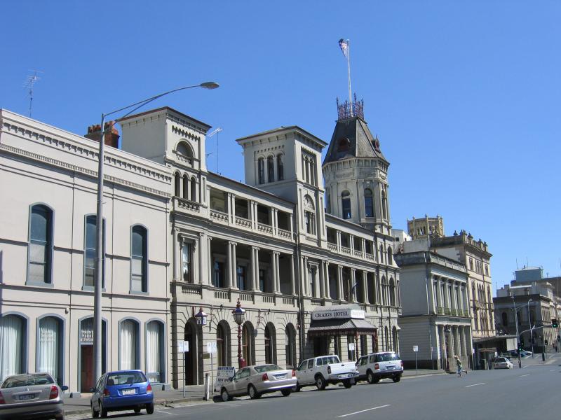 Lydiard Street area - Craigs Hotel, Lydiard St between Sturt St and Dana St
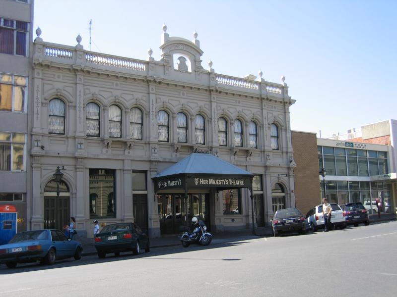 Lydiard Street area - Her Majesty's Theatre, Lydiard St between Sturt St and Dana St
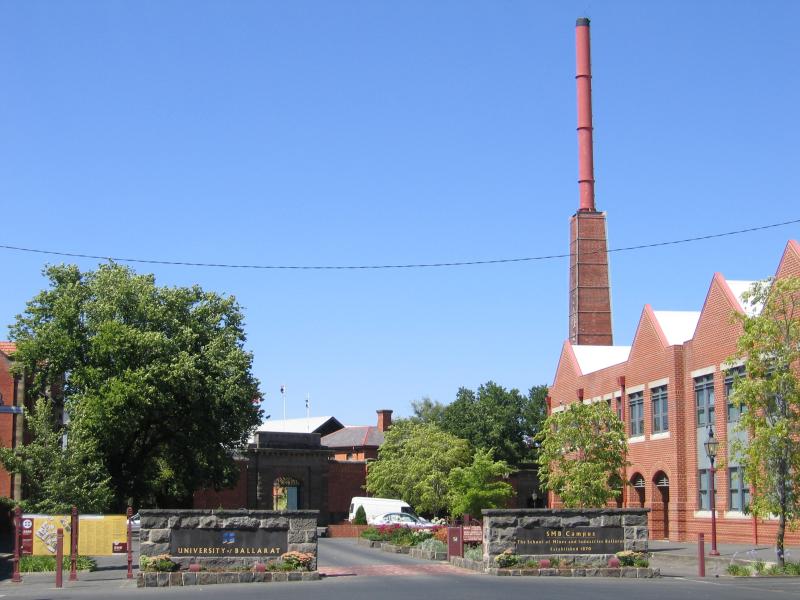 Lydiard Street area - University of Ballarat, south end of Lydiard St
 Armstrong Street area - Central Square Shopping Centre entrance, Armstrong St
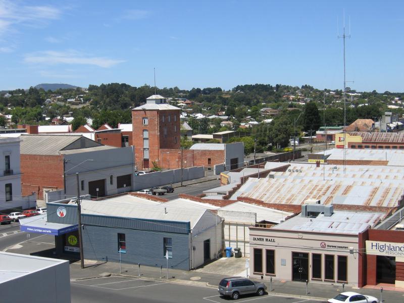
 Armstrong Street area - View from Central Square rooftop car park, east along Dana St towards Armstrong St
 Armstrong Street area - View from Central Square rooftop car park, south along Armstrong St
 Armstrong Street area - View from Central Square rooftop car park, west Dana St at Doveton St
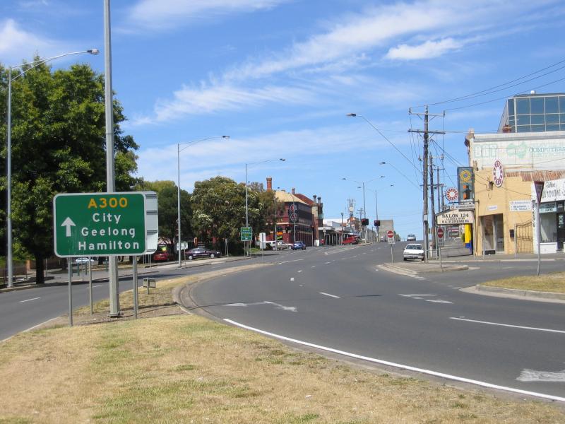
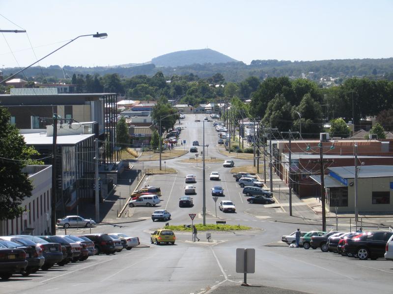
 Doveton Street and Midland Highway area - View south along Doveton St towards Sturt St
 Doveton Street and Midland Highway area - East side of Doveton St just north of Sturt St
 Doveton Street and Midland Highway area - View south along Doveton St towards Mair St
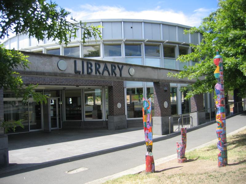 Doveton Street and Midland Highway area - Library, Doveton St between Market St and Mair St
 Doveton Street and Midland Highway area - View north along Doveton St towards Market St
 Doveton Street and Midland Highway area - View north-west along Midland Hwy between Holmes St and Market St
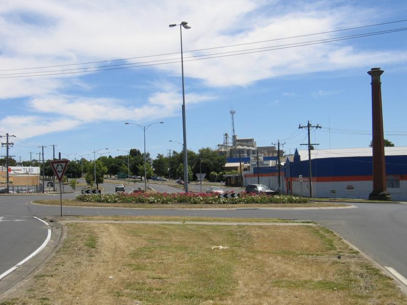
 Doveton Street and Midland Highway area - View south east along Midland Hwy between Holmes St and Market St
 Dana Street area - Court House, view south along Grenville St towards Dana St
 Dana Street area - View west along Dana St towards Albert St
 Dana Street area - View east along Dana St towards Albert St
 Mair Street area - View west along Mair St at Humffray St
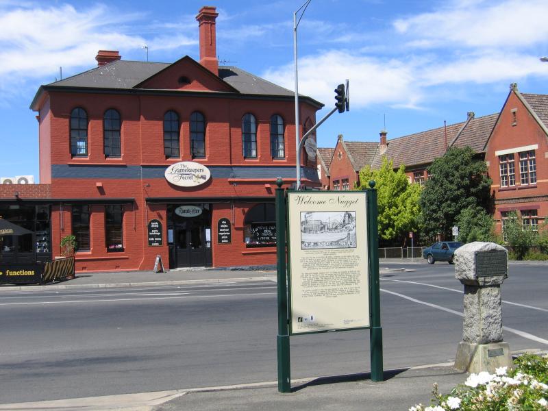 Mair Street area - Site of Welcome Nugget discovery, corner Humffray St and Mair St
 Mair Street area - View south along Peel St towards railway bridge
 Mair Street area - View west along Mair St between Lydiard St and Armstrong St
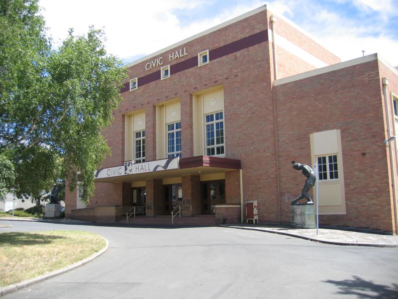 Mair Street area - Civic Hall, corner Mair St at Doveton St
 Mair Street area - View east along Mair St towards Doveton St
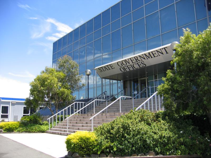 Mair Street area - State Government Offices, corner Mair St and Doveton St
 Mair Street area - Ballarat Christian College, corner Mair St and Dawson St
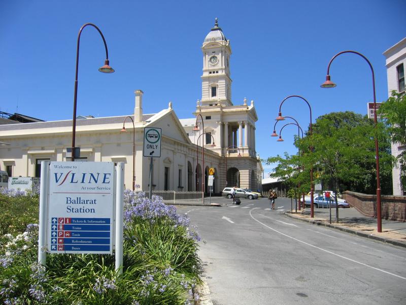 Ballarat Railway Station, Lydiard Street - View of station from Lydiard St
 Ballarat Railway Station, Lydiard Street - Entrance to station
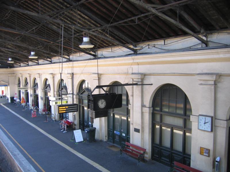 Ballarat Railway Station, Lydiard Street - Station platform
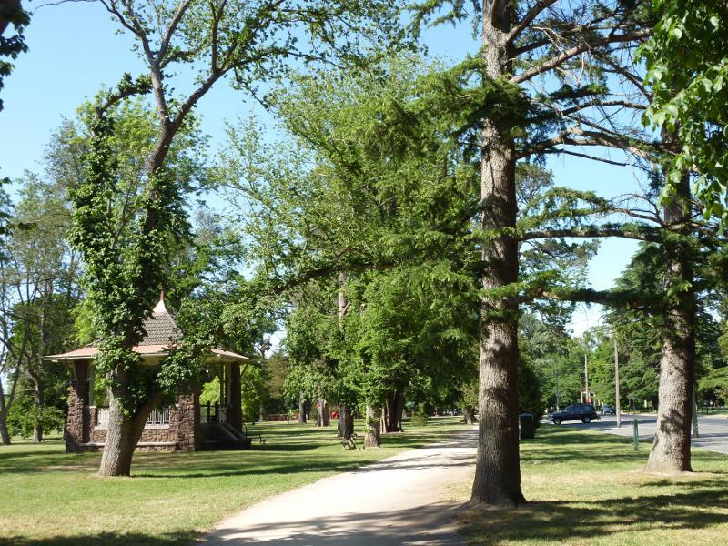
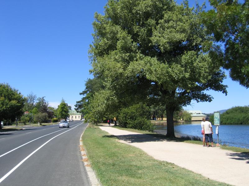
 Lake Wendouree, western side near botanical gardens - Pipers on the Parade, cafe opposite botanical gardens
 Lake Wendouree, western side near botanical gardens - Rotunda, lake foreshore
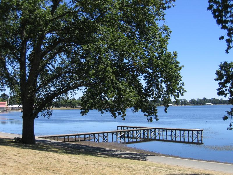
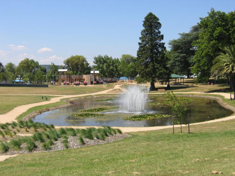
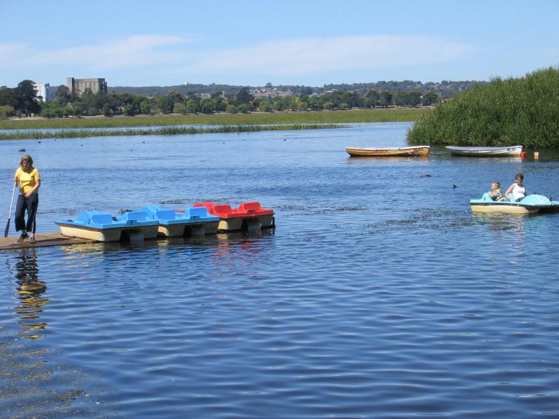 Lake Wendouree, western side near botanical gardens - Boating area
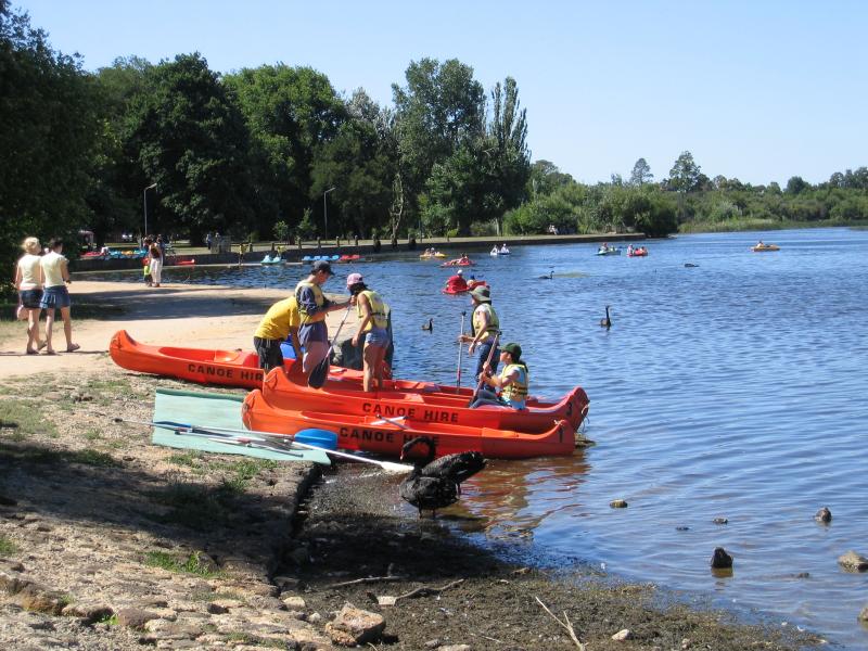 Lake Wendouree, western side near botanical gardens - Boating area
 Lake Wendouree, western side near botanical gardens - View south through parkland, north of playground
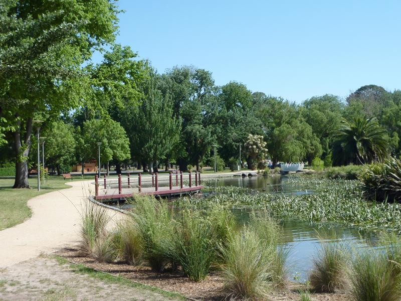 Lake Wendouree, western side near botanical gardens - View north through parkland
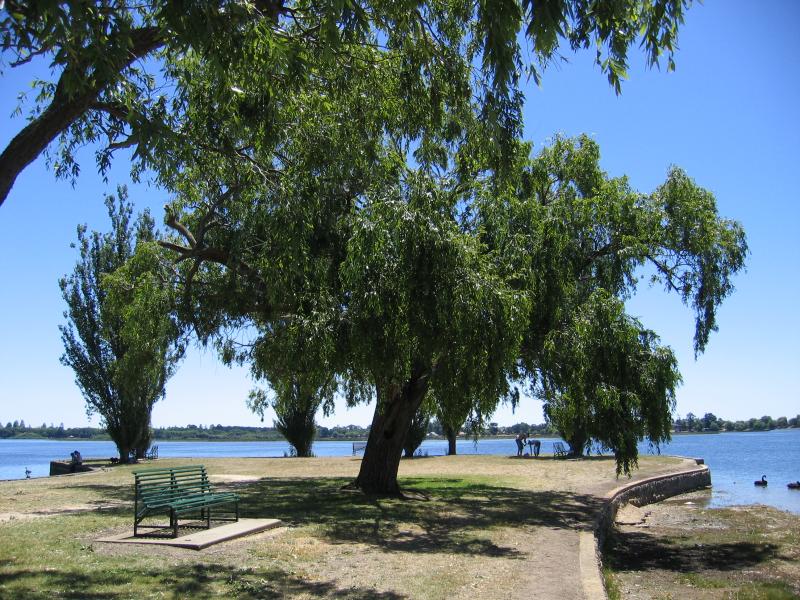
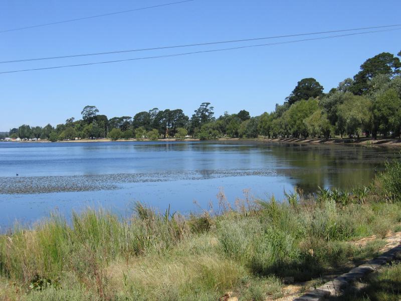
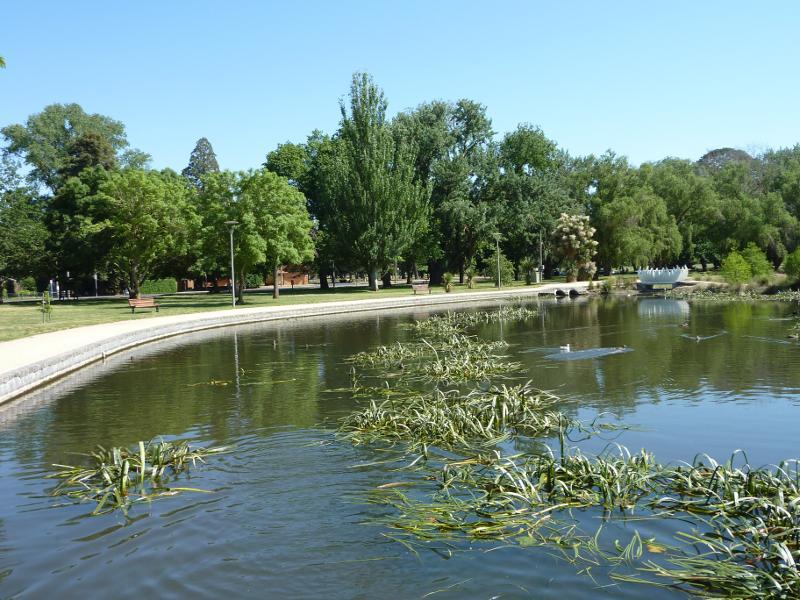 Lake Wendouree, western side near botanical gardens - View north along lake
 Lake Wendouree, western side near botanical gardens - View south along lake
 Lake Wendouree, western side near botanical gardens - Tram rides along Wendouree Parade
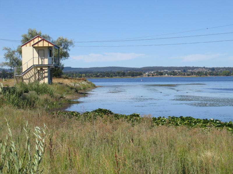 Other areas around Lake Wendouree - Judges box for rowing course, lake foreshore near corner of Wendouree Parade and Hamilton Av
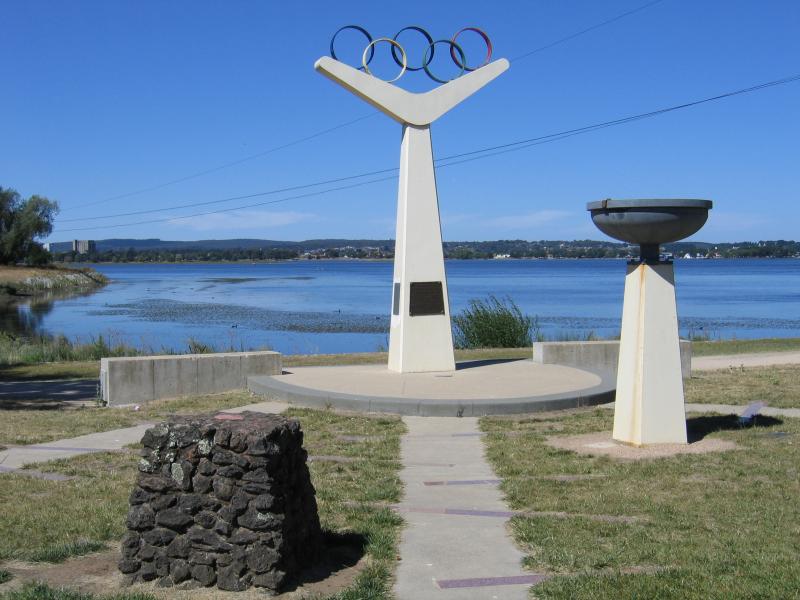 Other areas around Lake Wendouree - Rowing course from Melbourne 1956 Olympic Games, near corner of Wendouree Parade and Hamilton Av
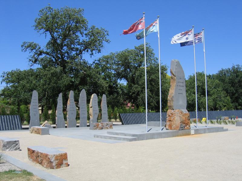 Other areas around Lake Wendouree - Australian Ex-prisoners of War memorial, Carlton St at Wendouree Parade
 Other areas around Lake Wendouree - View south-west from View Point towards boat sheds
 Other areas around Lake Wendouree - View west along View Point
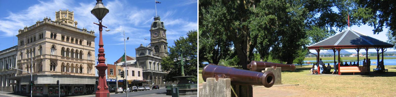
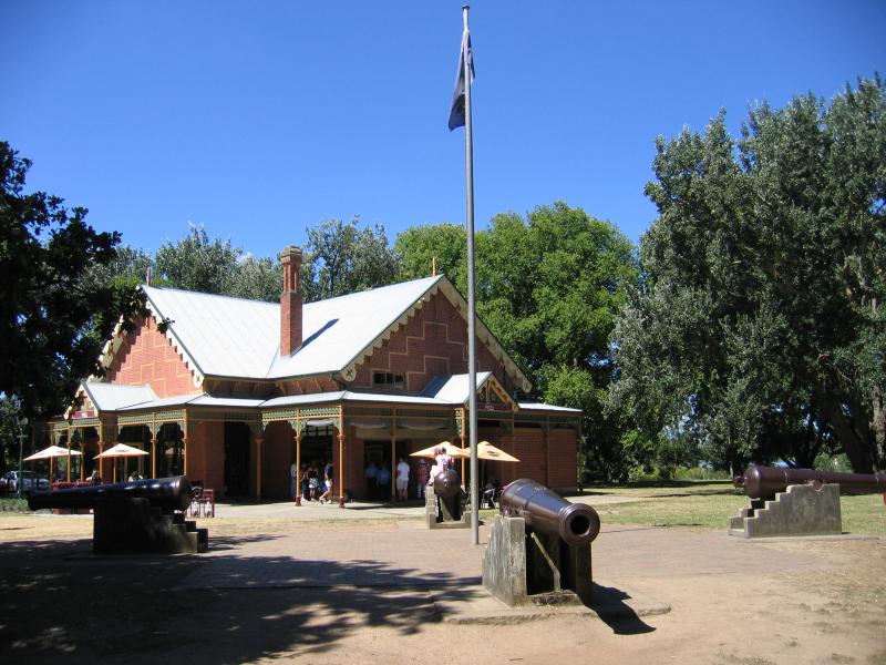
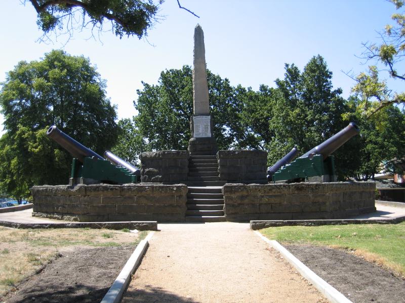
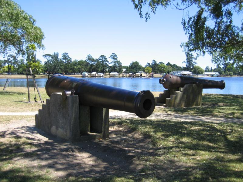 Other areas around Lake Wendouree - Cannons at View Point
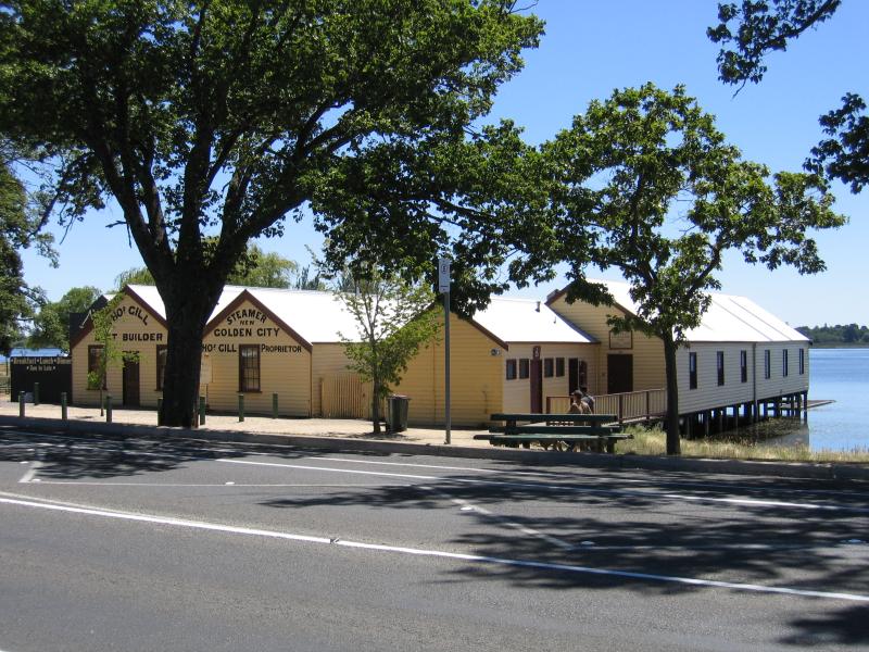 Other areas around Lake Wendouree - Boat sheds, Wendouree Parade between Mill St and Exeter St
 Other areas around Lake Wendouree - Jetty, Wendouree Parade near MacArthur St
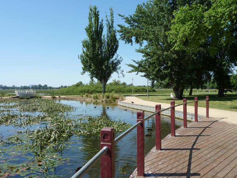
 Other areas around Lake Wendouree - View east along lake foreshore, Wendouree Parade near Hamilton Av
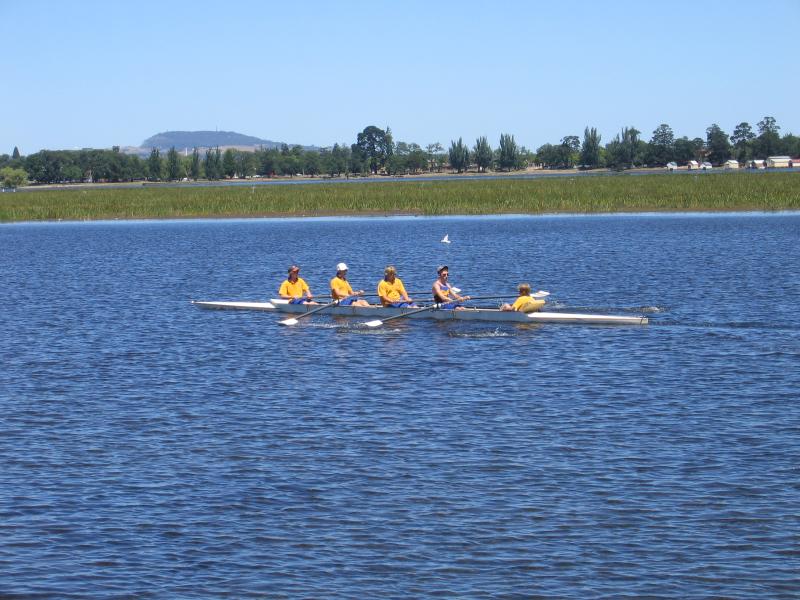 Other areas around Lake Wendouree - Rowers, viewed from Durham Point
 Other areas around Lake Wendouree - View east along Wendouree Parade at St Aidans Dr
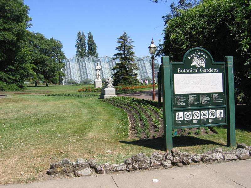 Botanical Gardens at Lake Wendouree - Main entrance to botanical gardens, opposite Pipers on the Parade cafe
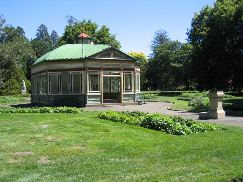 Botanical Gardens at Lake Wendouree - Statuary Pavilion
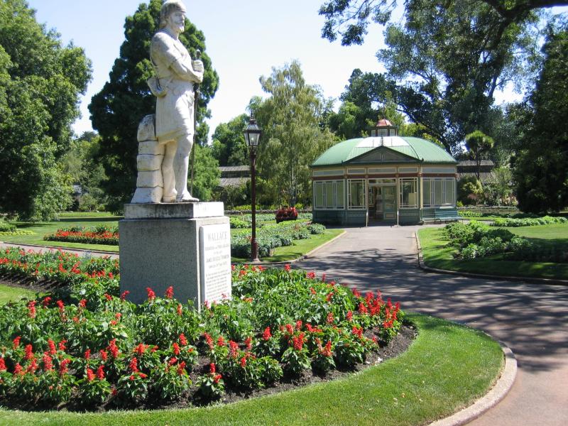 Botanical Gardens at Lake Wendouree - Wallace statue and the Statuary Pavilion
 Botanical Gardens at Lake Wendouree - Marble statue inside Statuary Pavilion
 Botanical Gardens at Lake Wendouree - Wallace statue
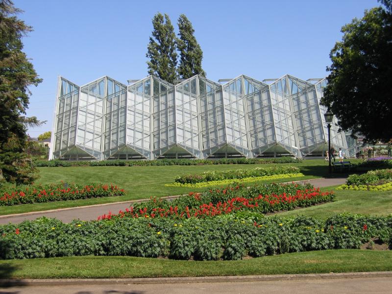 Botanical Gardens at Lake Wendouree - Robert Clark Conservatory
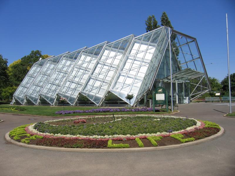 Botanical Gardens at Lake Wendouree - Robert Clark Conservatory
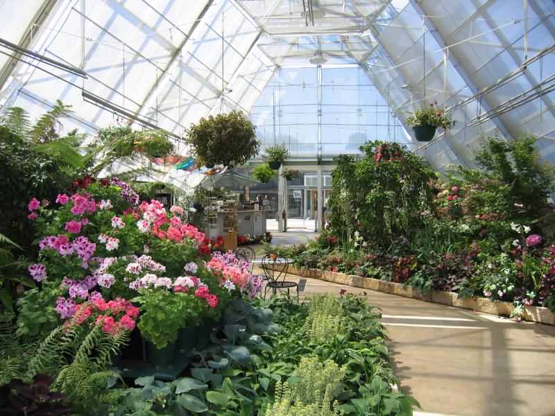 Botanical Gardens at Lake Wendouree - Inside Robert Clark Conservatory
 Botanical Gardens at Lake Wendouree - Prime Ministers Avenue, featuring bronze statues of all Australian Prime Ministers
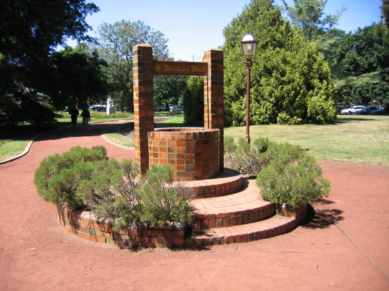 Botanical Gardens at Lake Wendouree - Wishing well
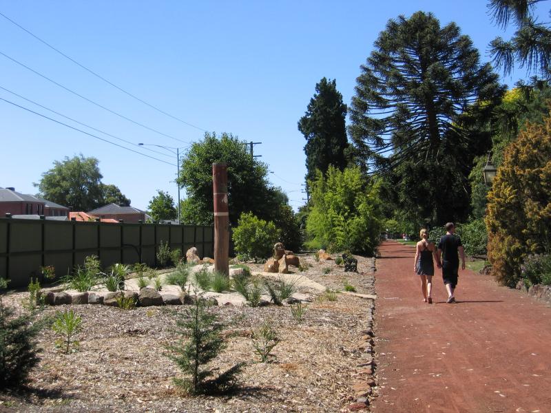 Botanical Gardens at Lake Wendouree - Western bed
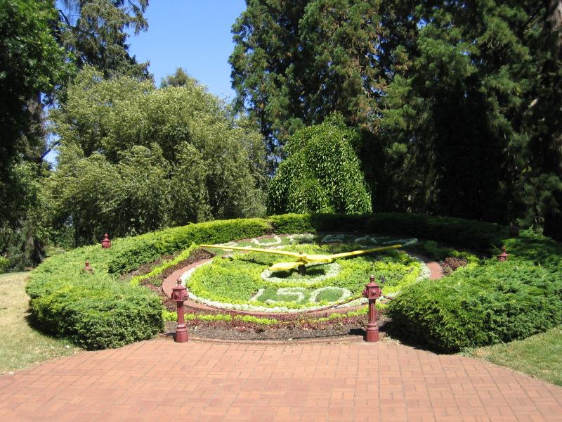 Botanical Gardens at Lake Wendouree - Floral clock
 Botanical Gardens at Lake Wendouree - Another entrance to botanical gardens, Wendouree Parade
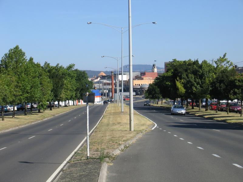
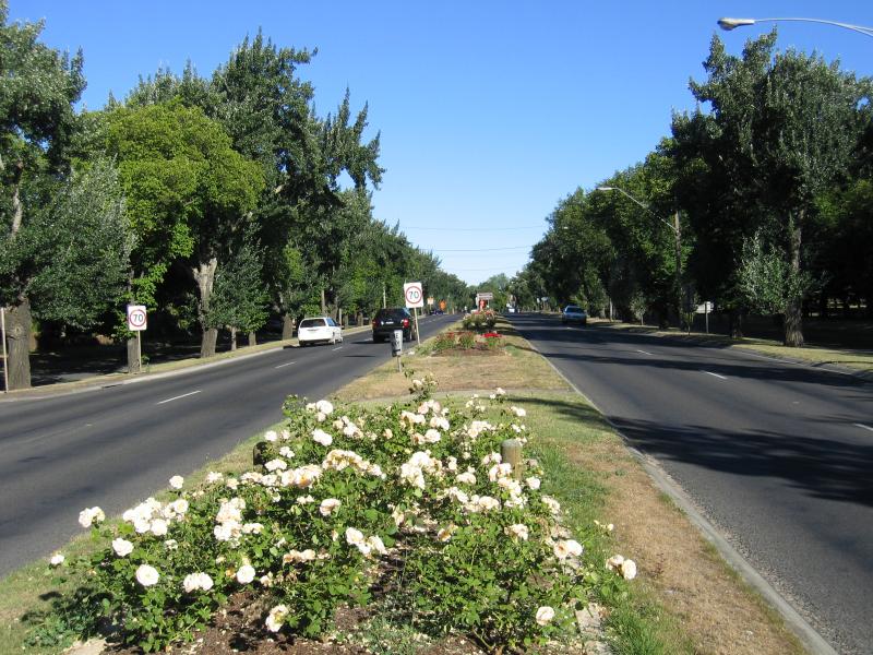 Sturt Street, Newington - View east along Sturt St at Crocker St
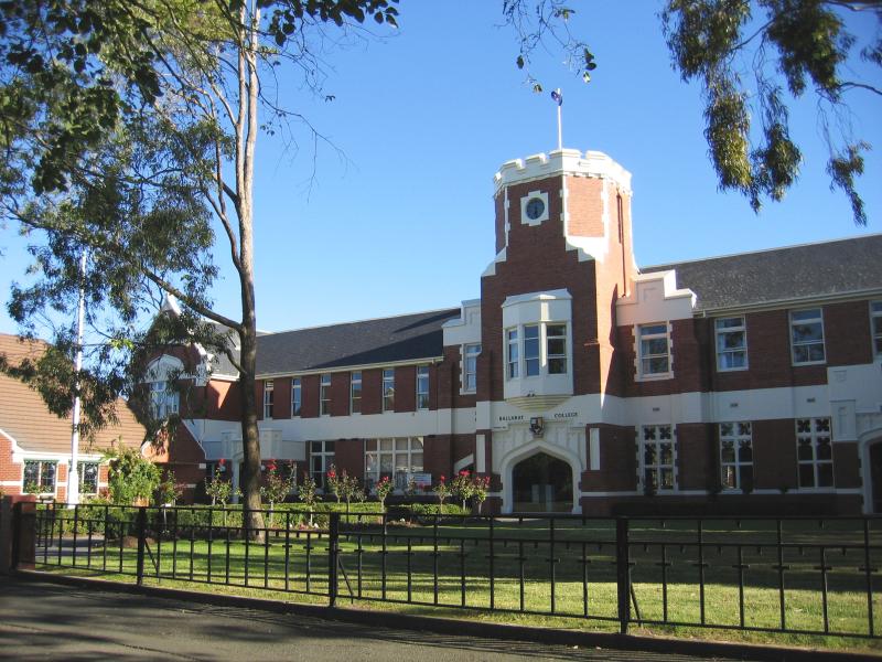 Sturt Street, Newington - Ballarat Collage, Sturt St
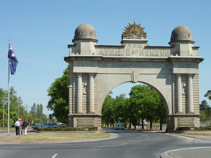 Avenue of Honour (Sturt Street) - Arch of Victory, Sturt St at Learmonth St
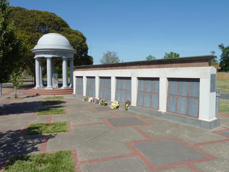 Avenue of Honour (Sturt Street) - Memorial wall, corner Sturt St and Learmonth St
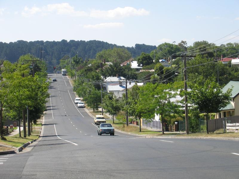
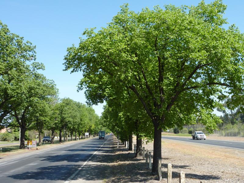 Avenue of Honour (Sturt Street) - View north-west along Sturt St west of Learmonth St
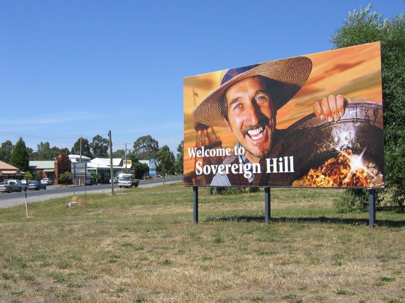 Sovereign Hill surroundings - View south along Geelong Rd at Bradshaw St
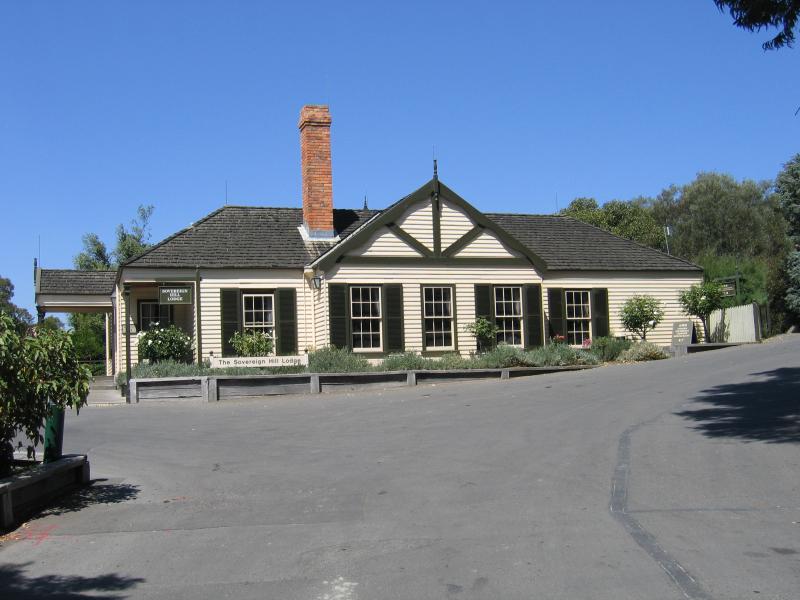 Sovereign Hill surroundings - Sovereign Hill Lodge, Magpie St
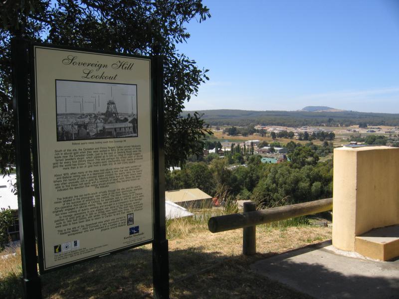
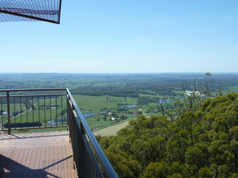
 Sovereign Hill lookout, Magpie Street - Lookout shelter
 Sovereign Hill lookout, Magpie Street - Lookout
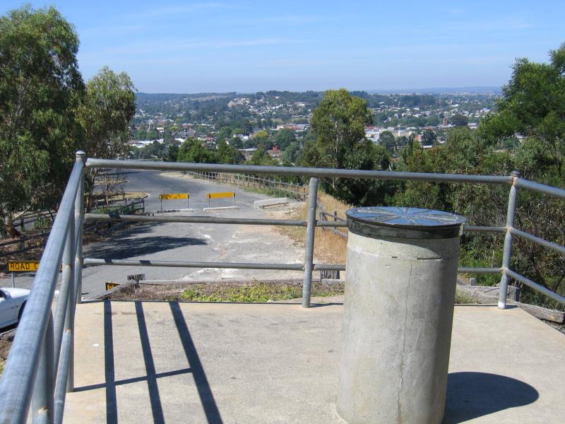
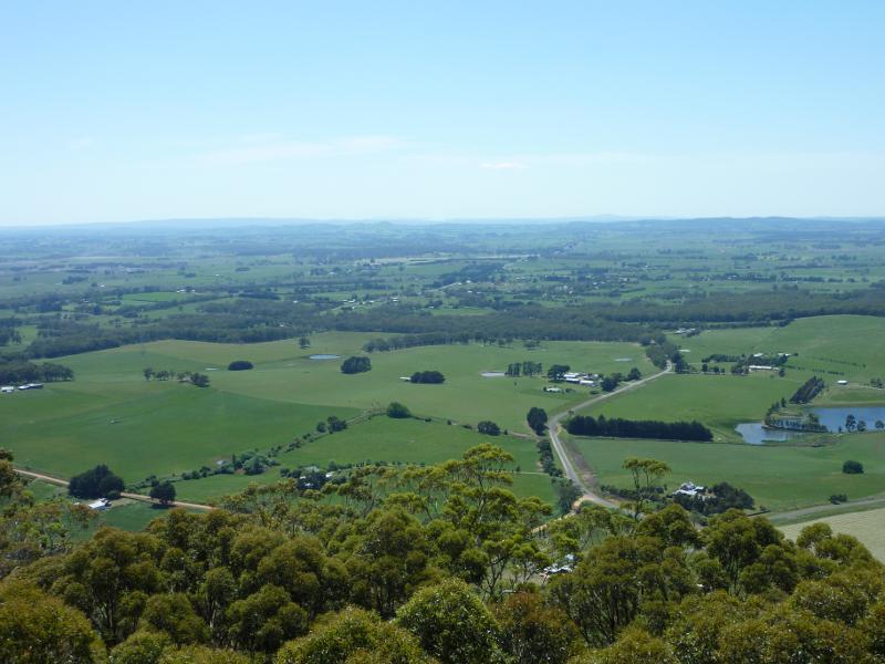
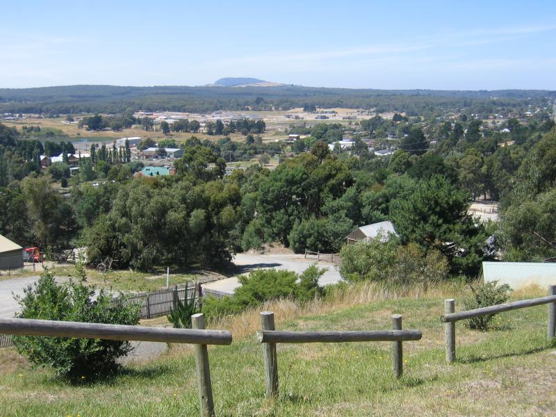 Sovereign Hill lookout, Magpie Street - View east
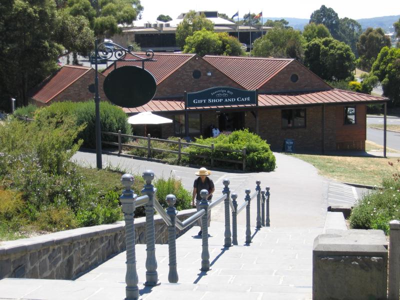 Sovereign Hill, Bradshaw Street - Gift shop and cafe
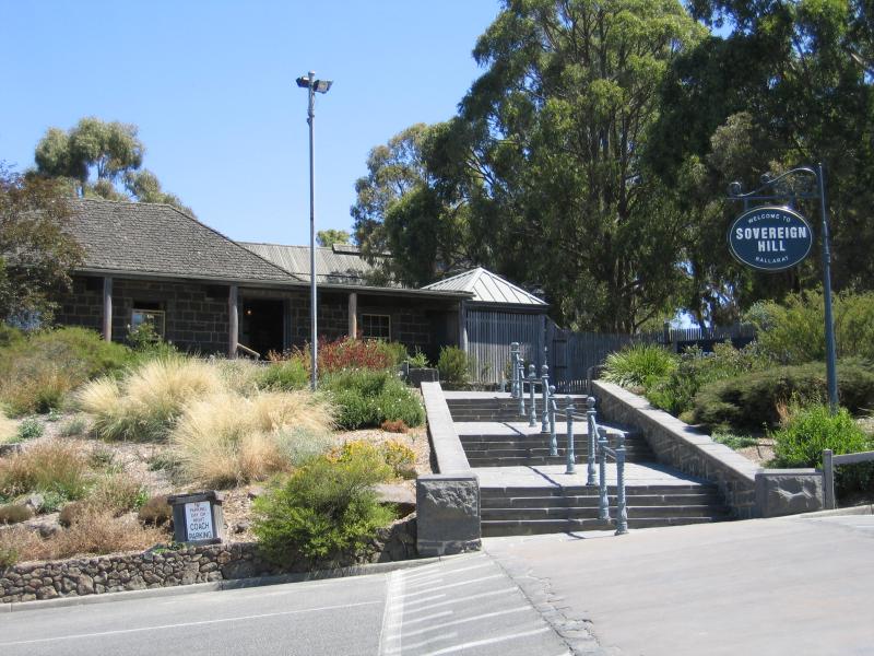 Sovereign Hill, Bradshaw Street - Entrance
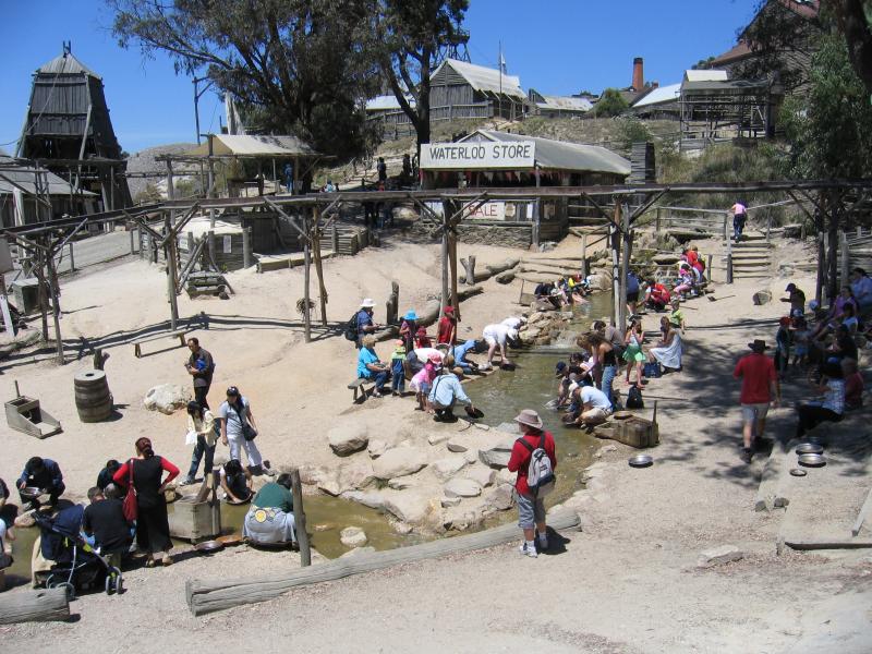 Sovereign Hill, Bradshaw Street - Diggings and gold panning area
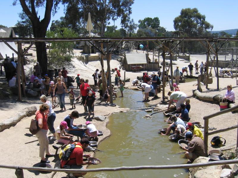 Sovereign Hill, Bradshaw Street - Diggings and gold panning area
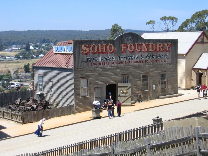 Sovereign Hill, Bradshaw Street - Soho Foundry
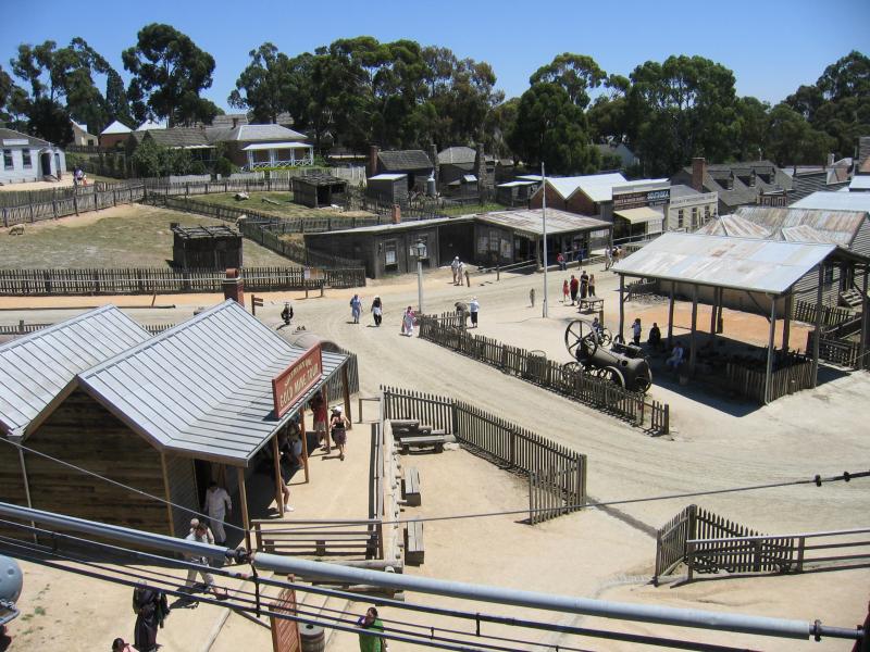
 Sovereign Hill, Bradshaw Street - Gold mine
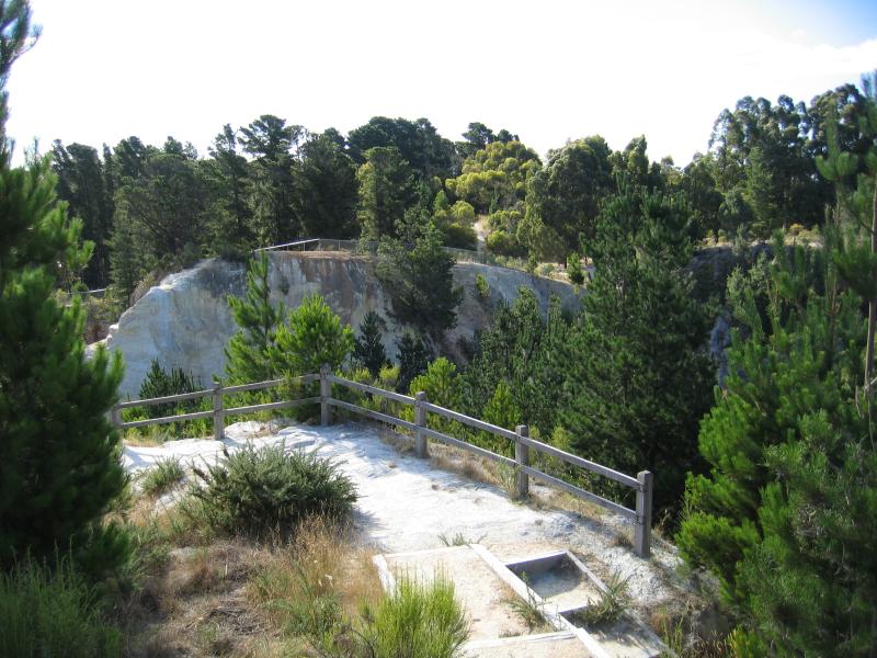
 Sovereign Hill, Bradshaw Street - View from poppet head at gold mine
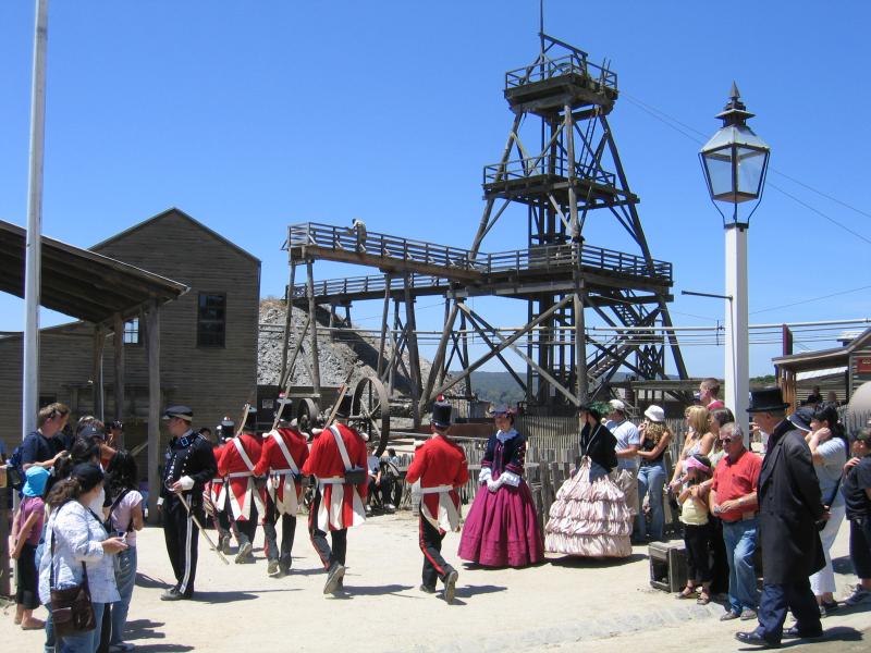 Sovereign Hill, Bradshaw Street - Redcoat soldiers ceremony near gold mine
 Sovereign Hill, Bradshaw Street - View down towards gold mine from cottages
 Sovereign Hill, Bradshaw Street - Soldiers on Main Street
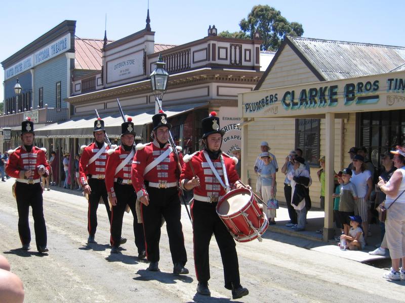 Sovereign Hill, Bradshaw Street - Soldiers on Main Street
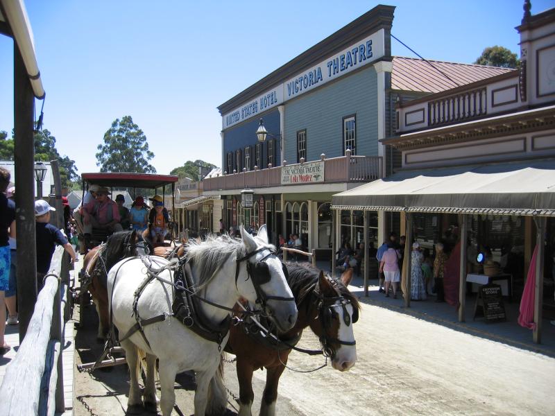 Sovereign Hill, Bradshaw Street - Coach rides, Main Street
 Sovereign Hill, Bradshaw Street - New York Bakery, Main Street
 Sovereign Hill, Bradshaw Street - Ballarat Times newspaper office, Main Street
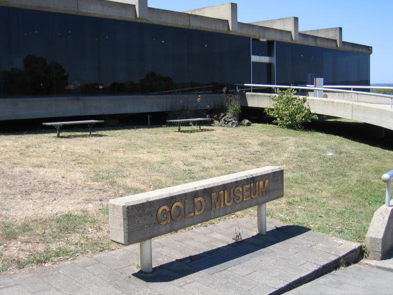 Gold Museum, Bradshaw Street - Entrance to gold museum
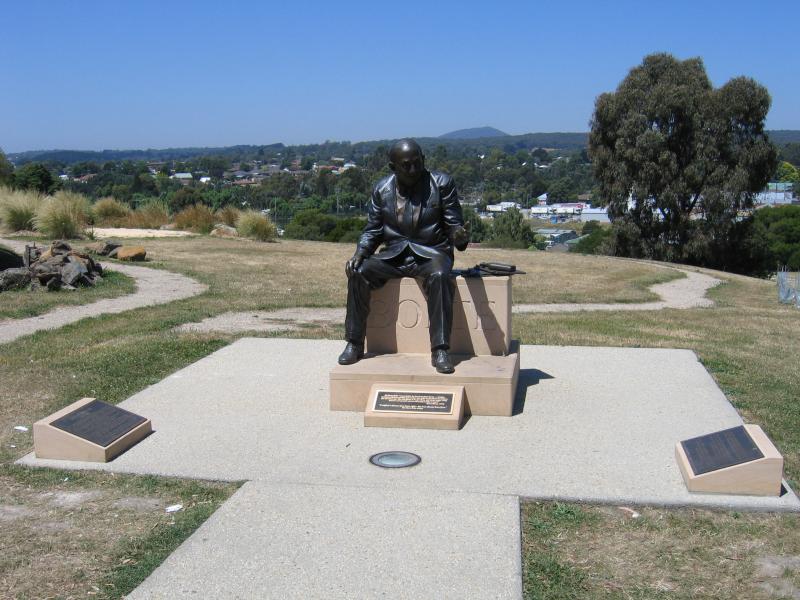 Gold Museum, Bradshaw Street - Statue of Sir Henry Bolte at entrance to gold museum
 Gold Museum, Bradshaw Street - Exhibits inside gold museum
 Eureka Centre and gardens, Eureka Street - View from car park
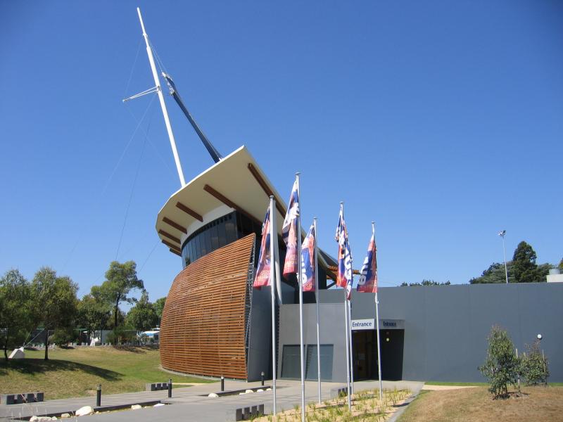 Eureka Centre and gardens, Eureka Street - Entrance
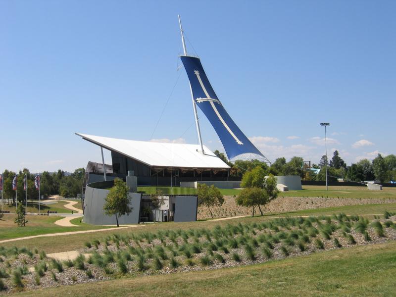 Eureka Centre and gardens, Eureka Street - View of Eureka Centre from gardens
 Eureka Centre and gardens, Eureka Street - Lake
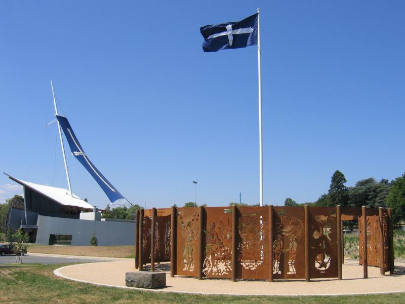
 Eureka Centre and gardens, Eureka Street - Memorial and cannons
 Black Hill Lookout and reserve, Sim Street - View from lookout, south towards end of road and car park
 Black Hill Lookout and reserve, Sim Street - View west across Black Hill Reserve towards gully
 Black Hill Lookout and reserve, Sim Street - View west towards Lake Wendouree
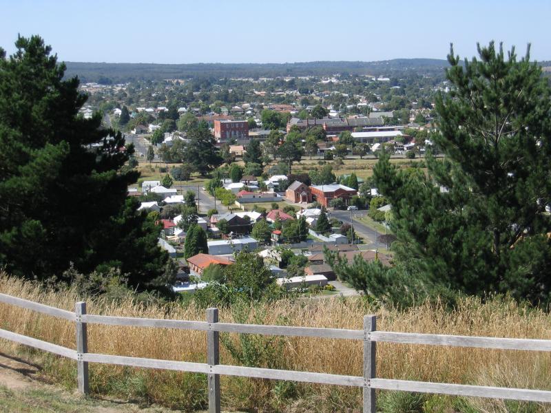
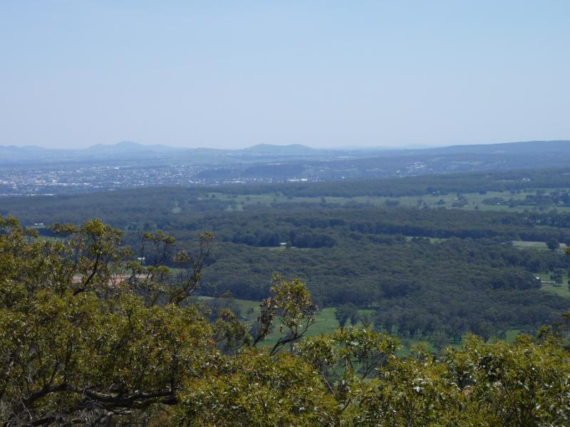
 Black Hill Lookout and reserve, Sim Street - View south-west to Ballarat centre
 Black Hill Lookout and reserve, Sim Street - View south
 Black Hill Lookout and reserve, Sim Street - View south
 Victoria Street area - View west along Victoria St at West St towards Bakery Hill
 Victoria Street area - View west along Victoria St towards Princess St and Catholic Church
 Victoria Street area - View west along Victoria St towards Chamberlain St
 Victoria Street area - View west along Victoria St towards Stickland Pde exit
 Around Ballarat - Fire station, Barkly St at East St
 Around Ballarat - View north along Queen St at George St
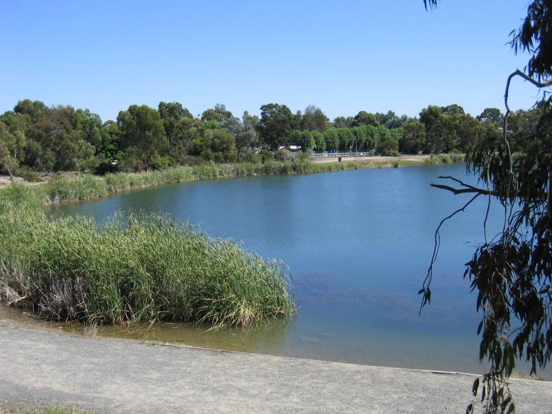 Around Ballarat - Lake Esmond, Larter St
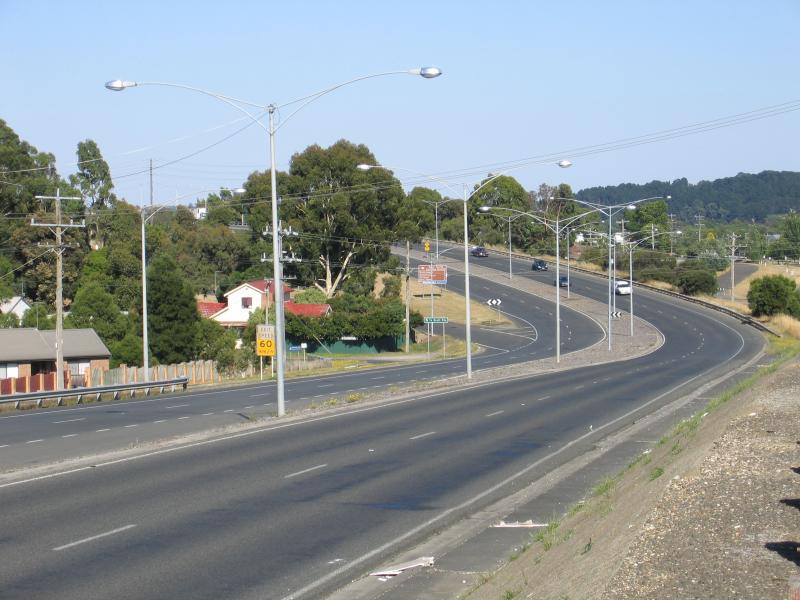
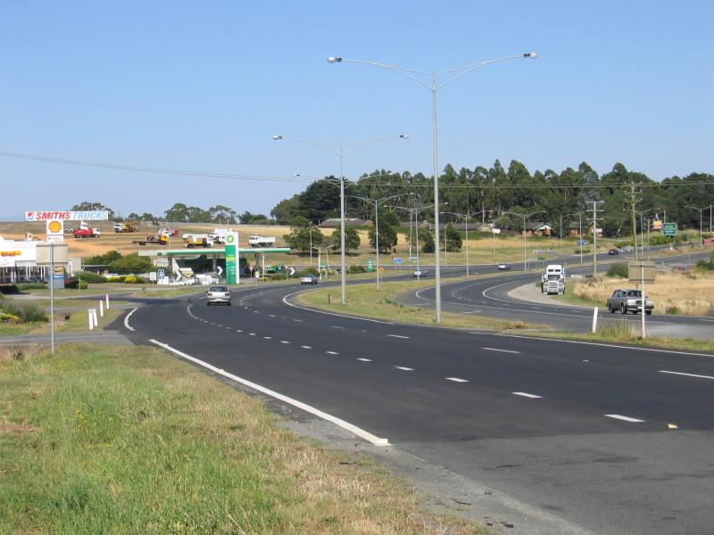
 Around Ballarat - View east along Western Freeway from Midland Highway overpass
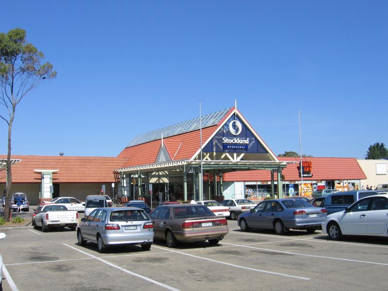 Ballarat suburb of Wendouree - Stockland Wendouree Shopping Centre, Gillies St
 Ballarat suburb of Wendouree - Shops, Howitt St service road
 Ballarat suburb of Wendouree - View east along Howitt St at School La towards Blue Bell Hotel
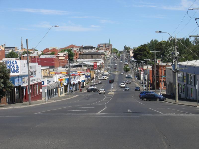
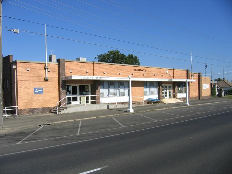 Ballarat suburb of Sebastopol - Library, Midland Hwy between Walker St and Birdwood Av
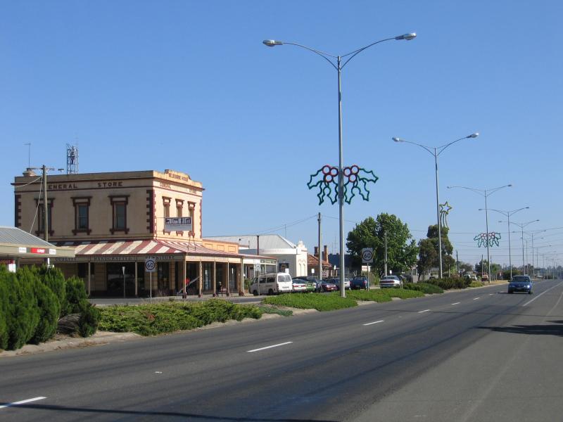 Ballarat suburb of Sebastopol - View north along Midland Hwy towards Birdwood Av
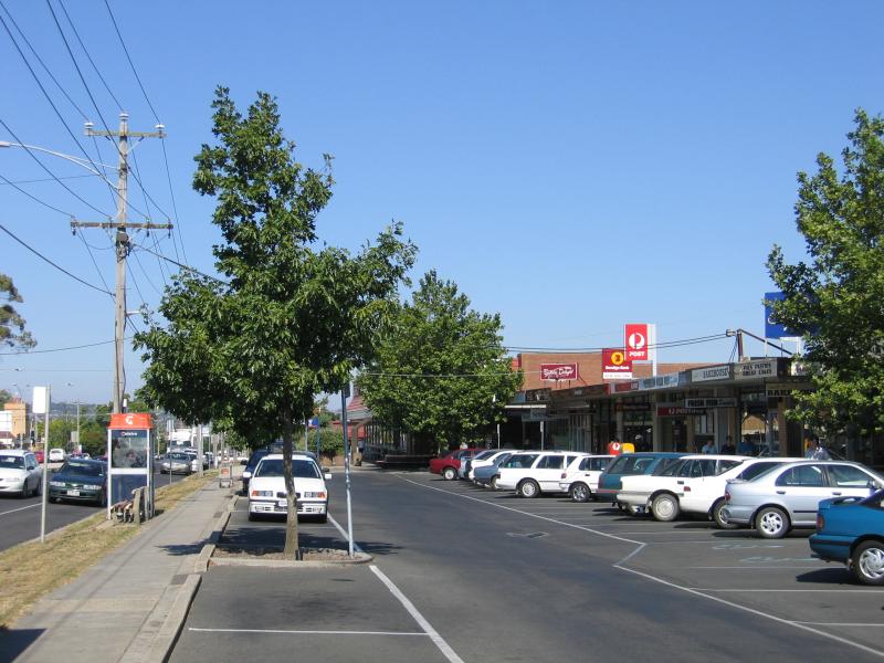
 Ballarat suburb of Sebastopol - View south along Midland Hwy towards Victoria St
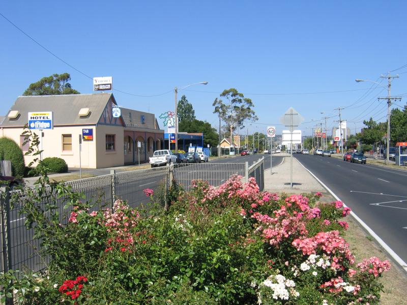
 Ballarat suburb of Sebastopol - View south, Midland Hwy near Docwra St
 Ballarat suburb of Mount Clear - View east along Whitehorse Rd towards Tinworth Av
 Ballarat suburb of Mount Clear - Shops, corner Whitehorse Rd and Geelong Rd
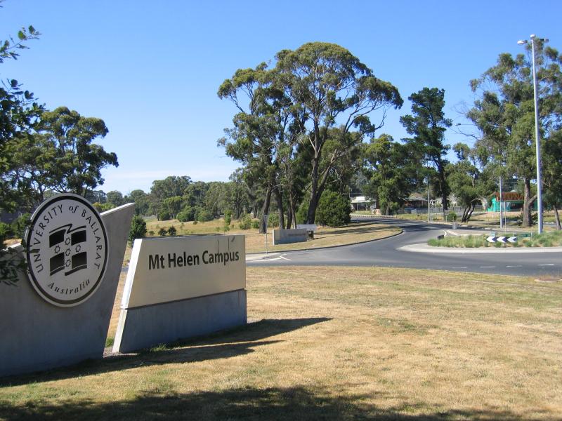 University of Ballarat, Mount Helen - University of Ballarat sign, corner Geelong Rd and University Dr
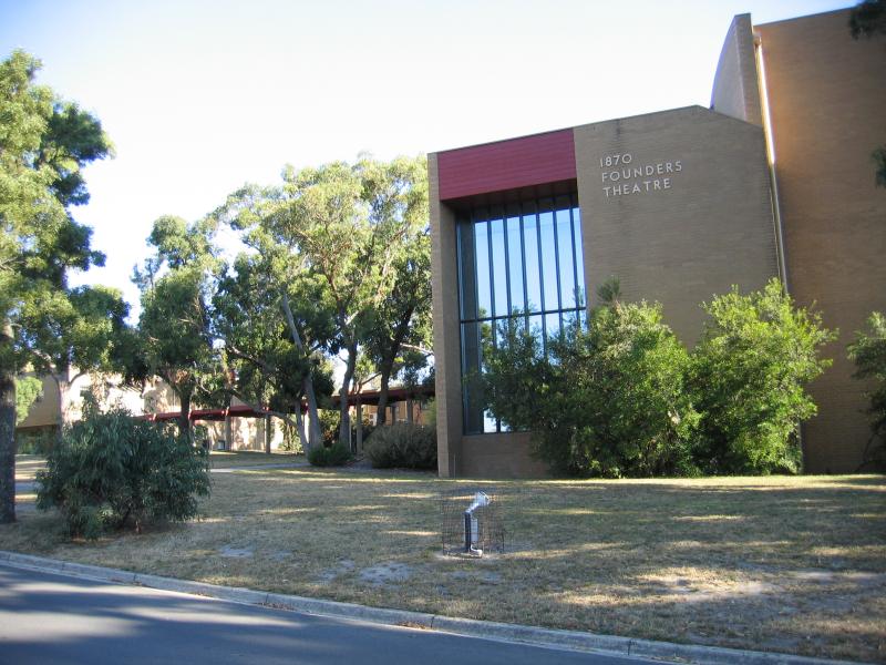 University of Ballarat, Mount Helen - Founders Theatre
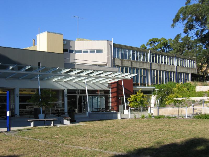 University of Ballarat, Mount Helen - Union building
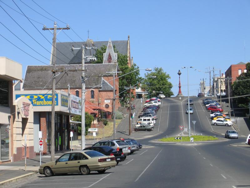
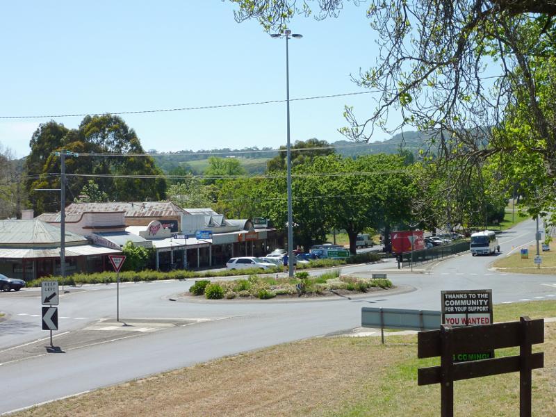
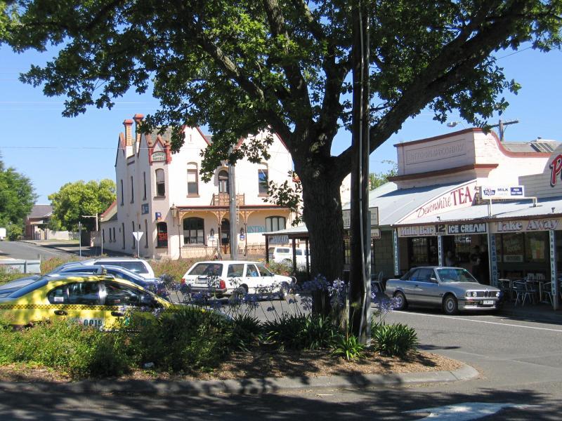
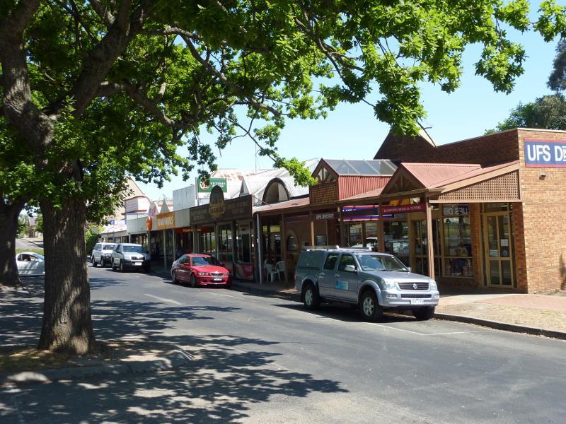
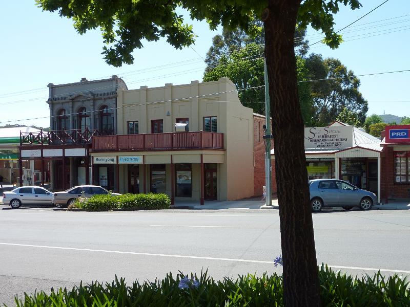 Buninyong - commercial centre - Shops along east side of Warrenheip St between Forest St and Learmonth St
 Buninyong - commercial centre - View east along Learmonth St towards Warrenheip St
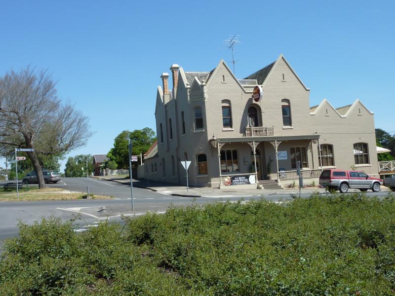
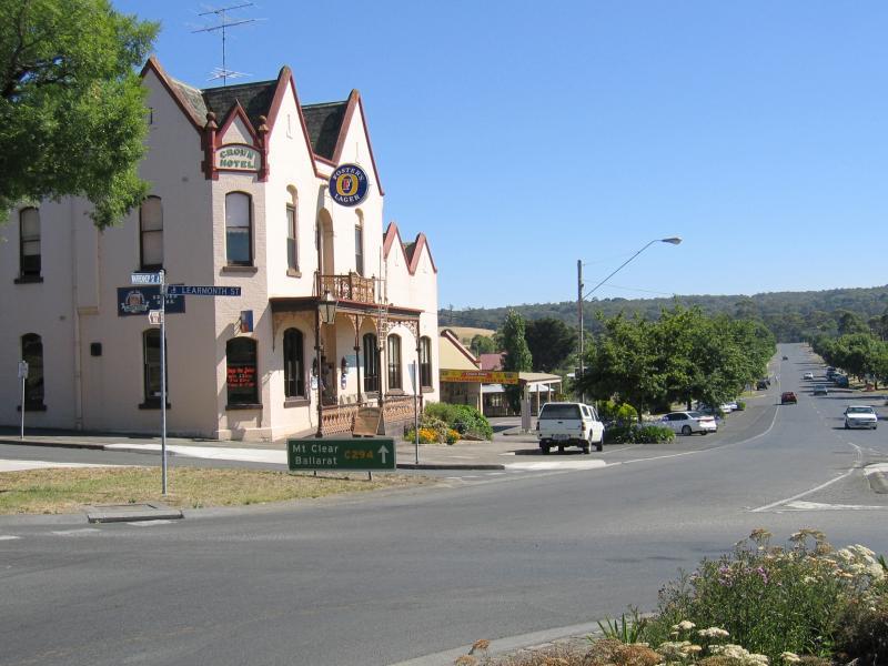 Buninyong - commercial centre - Crown Hotel, view north along Warrenheip St at Learmonth St
 Buninyong - commercial centre - Crown Hotel, view west along Learmonth St at Warrenheip St
 Buninyong - commercial centre - View west along Learmonth St towards Warrenheip St
 Buninyong - commercial centre - View west along Learmonth St between Warrenheip St and Inglis St
 Buninyong - commercial centre - View south along Warrenheip St at Learmonth St
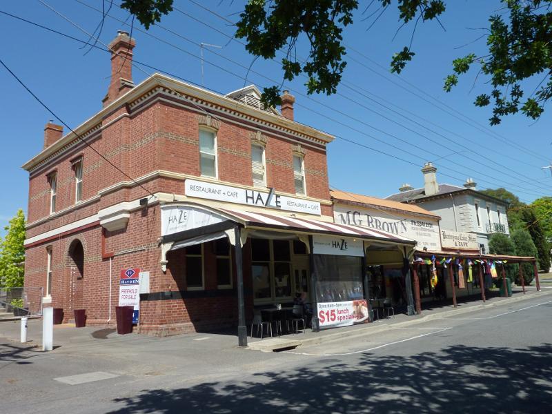
 Buninyong - commercial centre - Shops along south side of Learmonth St on east side of Warrenheip St
 Buninyong - commercial centre - View west along Learmonth St towards Warrenheip St
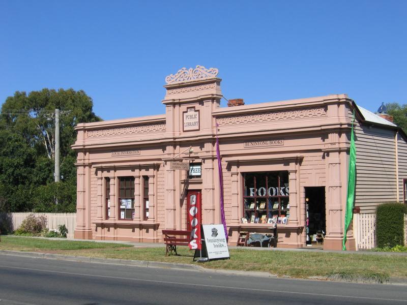 Buninyong - around the town - Old public library, Warrenheip St opposite Forest St
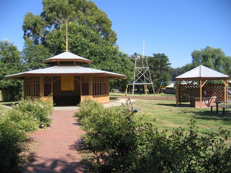 Buninyong - around the town - De Soza Park, Warrenheip St
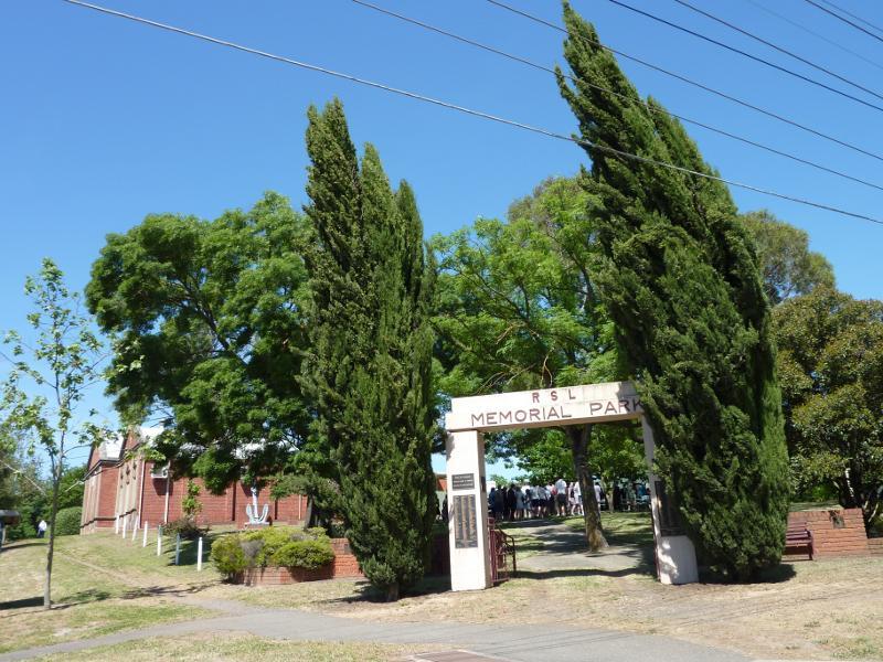 Buninyong - around the town - RSL Memorial Park, corner Warrenheip St and Learmonth St
 Buninyong - around the town - RSL Hall at RSL Memorial Park, corner Warrenheip St and Learmonth St
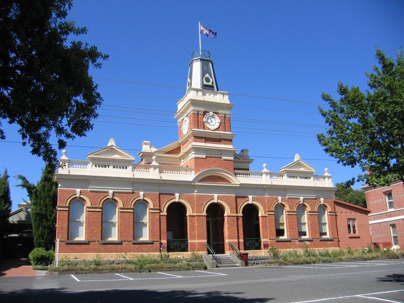 Buninyong - around the town - Town hall, Learmonth St between Warrenheip St and Inglis St
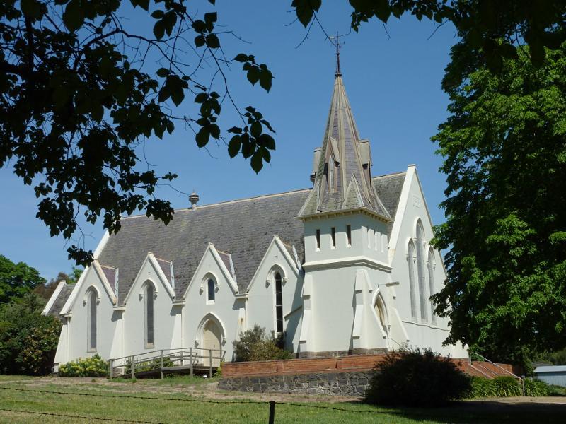 Buninyong - around the town - Uniting Church, corner Inglis St and Scott St
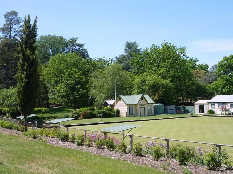 Buninyong - botanical gardens - View from gardens towards bowling club
 Buninyong - botanical gardens - Queen Victoria Rotunda
 Buninyong - botanical gardens - View through gardens from footbridge over creek
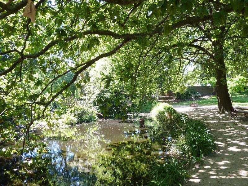 Buninyong - botanical gardens - Pond
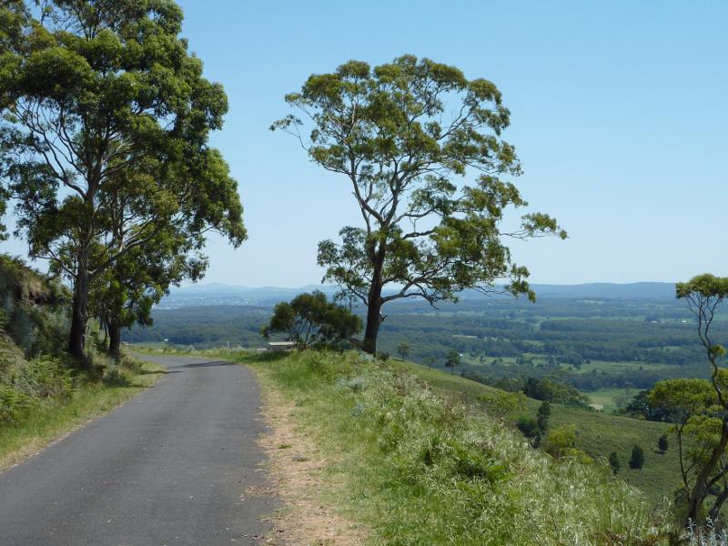
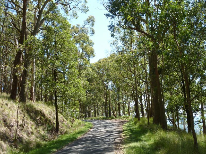 Mount Buninyong Road, ascending mountain - View along road
 Mount Buninyong Road, ascending mountain - Easterly view
 Mount Buninyong Road, ascending mountain - North-easterly view
 Mount Buninyong Road, ascending mountain - Northerly view towards Mt Warrenheip
 Mount Buninyong Road, ascending mountain - North-westerly view along road
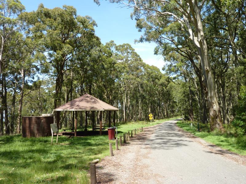 At the peak of Mount Buninyong - Picnic area and shelter
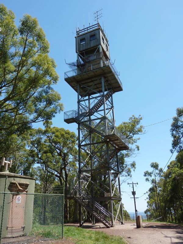 At the peak of Mount Buninyong - Lookout tower
 At the peak of Mount Buninyong - South-easterly view
 At the peak of Mount Buninyong - Easterly view
 At the peak of Mount Buninyong - Easterly view
 At the peak of Mount Buninyong - North-easterly view
 At the peak of Mount Buninyong - Northerly view towards Mt Warrenheip
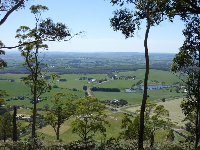
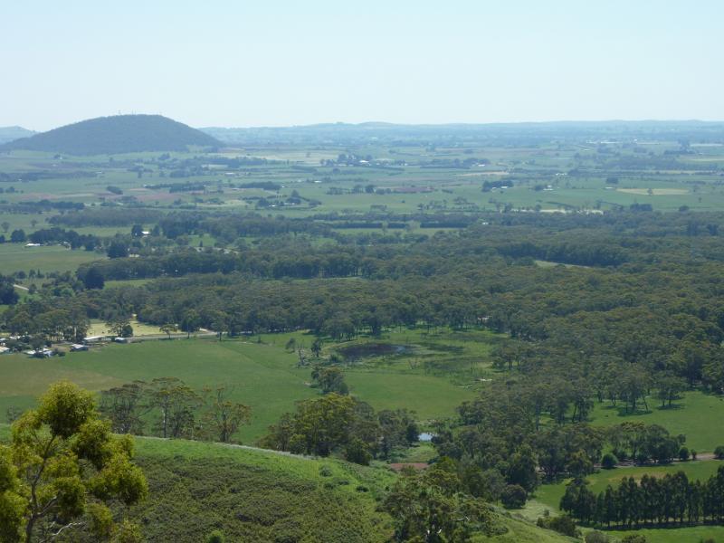
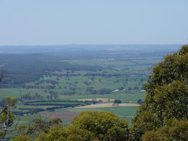
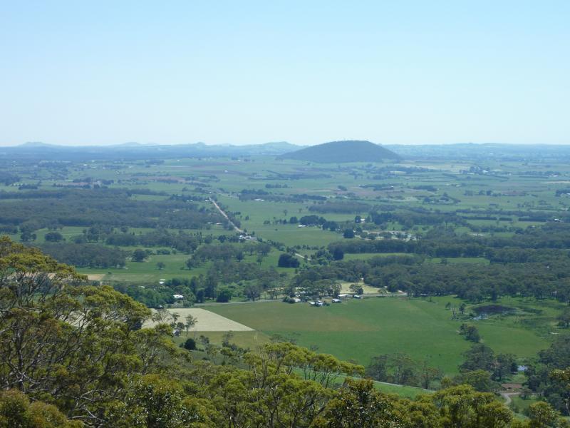
 At the peak of Mount Buninyong - North-westerly view towards Ballarat
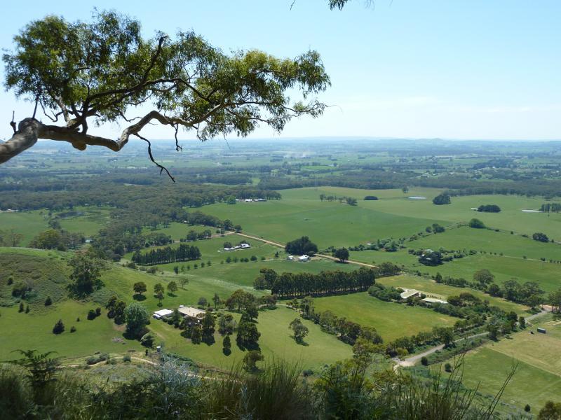
 At the peak of Mount Buninyong - North-westerly view towards Ballarat
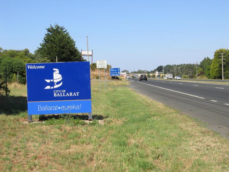 Gateway Precinct, Western Highway, Warrenheip - Welcome to Ballarat sign, view west along Western Hwy
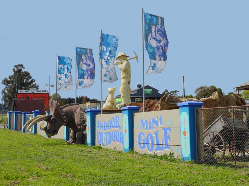
 Gateway Precinct, Western Highway, Warrenheip - Gold Rush Mini Golf
 Gateway Precinct, Western Highway, Warrenheip - View east in front of Gold Rush Mini Golf towards Ballarat Woolshed
 Gateway Precinct, Western Highway, Warrenheip - Service stations, view west along Western Hwy towards Old Melbourne Rd
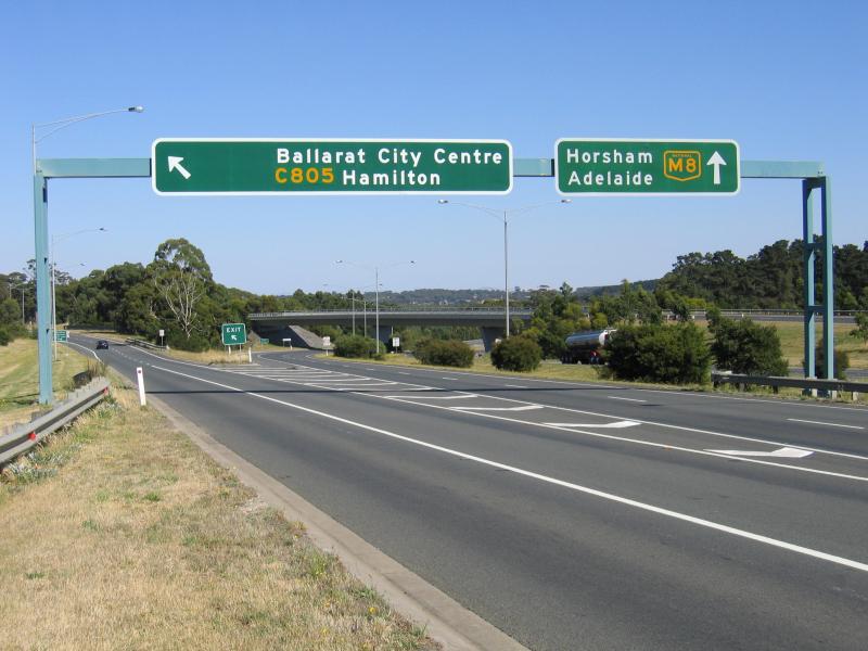 Gateway Precinct, Western Highway, Warrenheip - View west along Western Fwy at Victoria St exit
 Kryal Castle, Forbes Road - View north along Forbes Rd at driveway to Kryal Castle
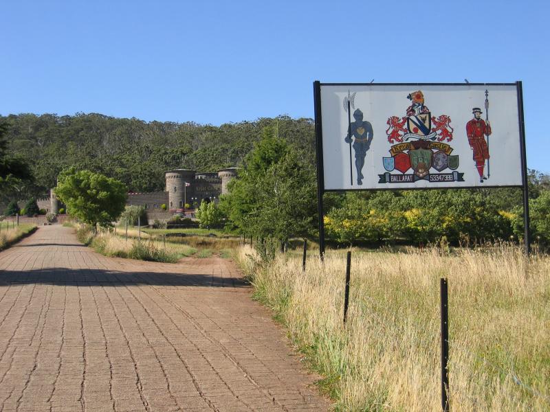 Kryal Castle, Forbes Road - Driveway entrance to Kryal Castle
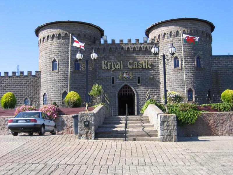 Kryal Castle, Forbes Road - Entrance
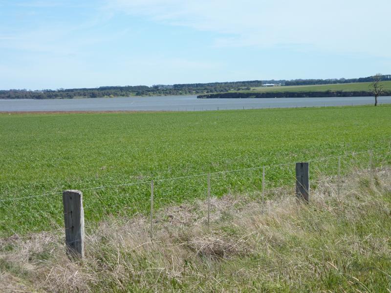 Burrumbeet - South-west view to Lake Burrumbeet from Western Hwy just west of Ercildoune Rd
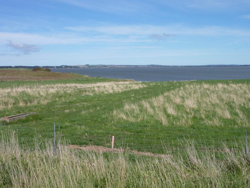 Burrumbeet - Southerly view towards Lake Burrumbeet from Western Hwy
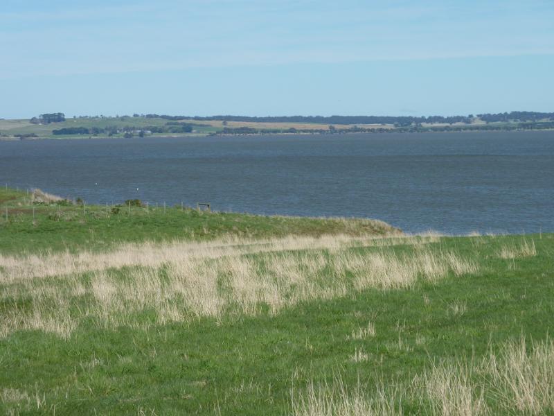 Burrumbeet - Southerly view towards Lake Burrumbeet from Western Hwy
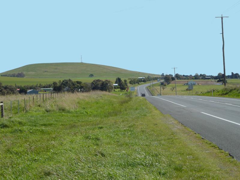 Burrumbeet - View west along Western Hwy towards Mt Callender