Balnarring - photos
Balnarring
Stay
See and do
Food and drink
Shopping
Getting around
Visitor information
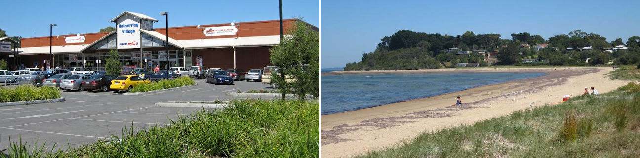
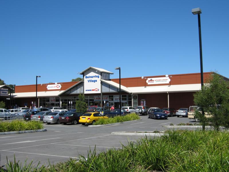 Shops at Balnarring Village Shopping Centre and surroundings - Ritchies IGA supermarket
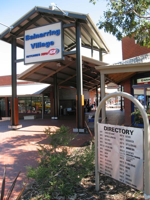 Shops at Balnarring Village Shopping Centre and surroundings - Shopping centre, walk-through to supermarket
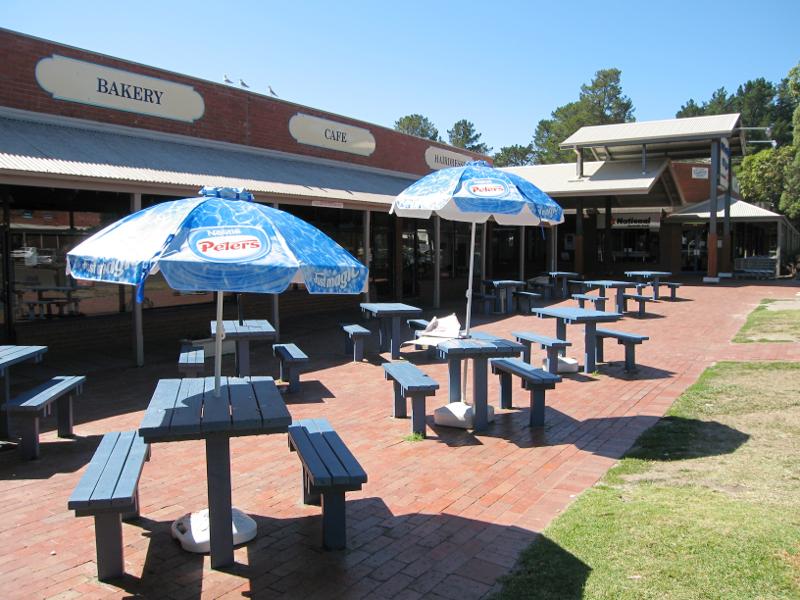 Shops at Balnarring Village Shopping Centre and surroundings - Tables in front of bakery and cafe
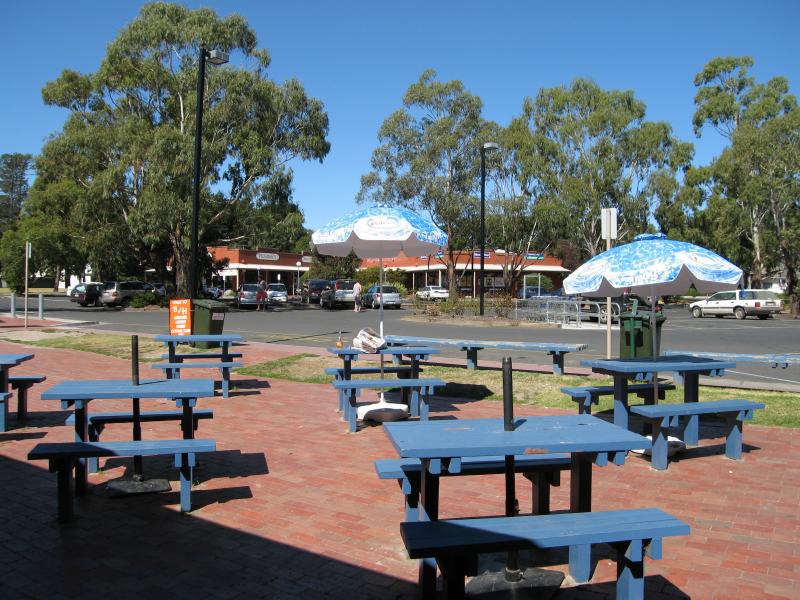 Shops at Balnarring Village Shopping Centre and surroundings - View from tables in front of bakery towards car park
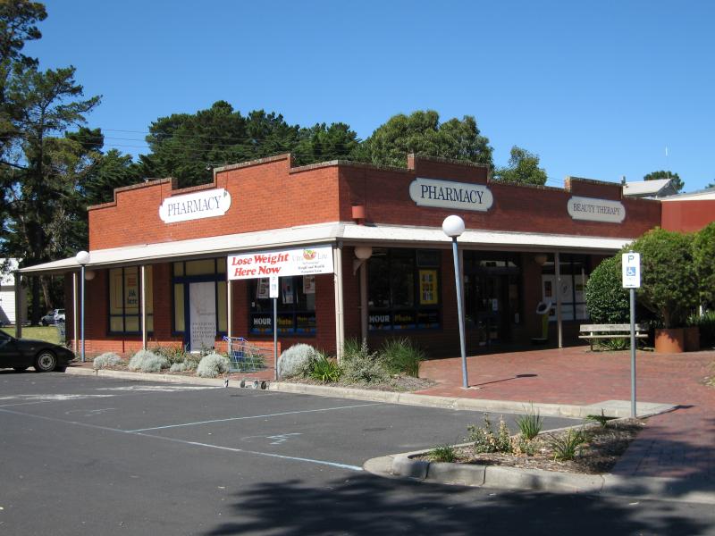 Shops at Balnarring Village Shopping Centre and surroundings - Pharmacy, corner Balnarring Rd
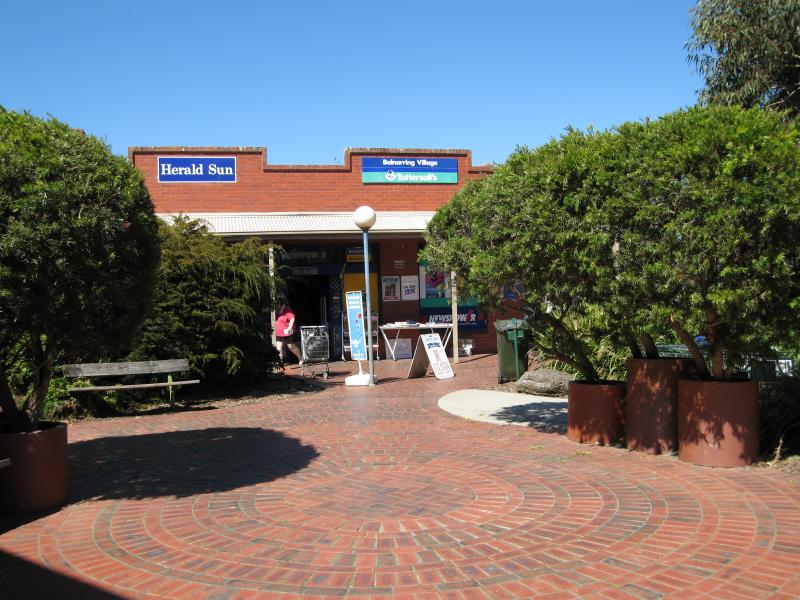 Shops at Balnarring Village Shopping Centre and surroundings - Newsagent
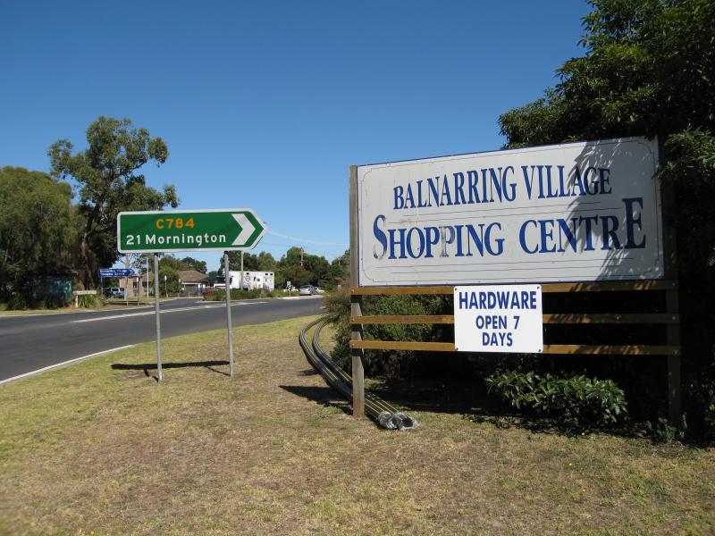
 Shops at Balnarring Village Shopping Centre and surroundings - View west along Frankston-Flinders Rd at shopping centre
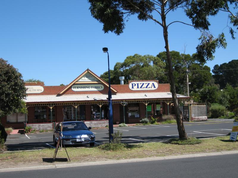
 Shops at Balnarring Village Shopping Centre and surroundings - Shops on corner of Frankston-Flinders Rd
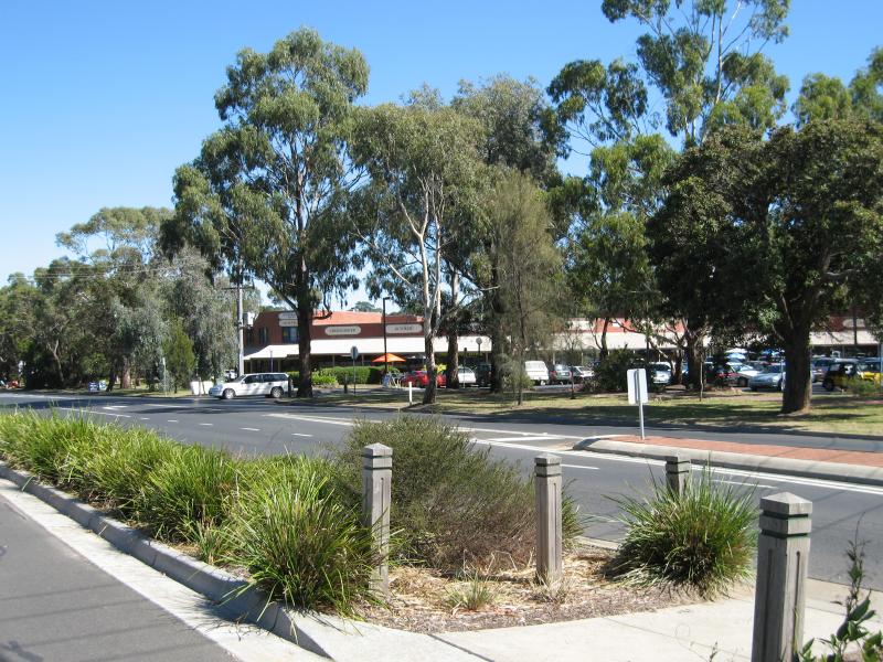
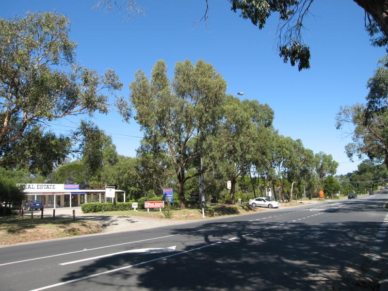
 Shops at Balnarring Village Shopping Centre and surroundings - View east along Frankston-Flinders Rd at shopping centre
 Shops at Balnarring Village Shopping Centre and surroundings - Shops on corner of Frankston-Flinders Rd
 Shops at Balnarring Village Shopping Centre and surroundings - View west across Russell St towards shops
 Shops at Balnarring Village Shopping Centre and surroundings - View west along Frankston-Flinders Rd at Russell St
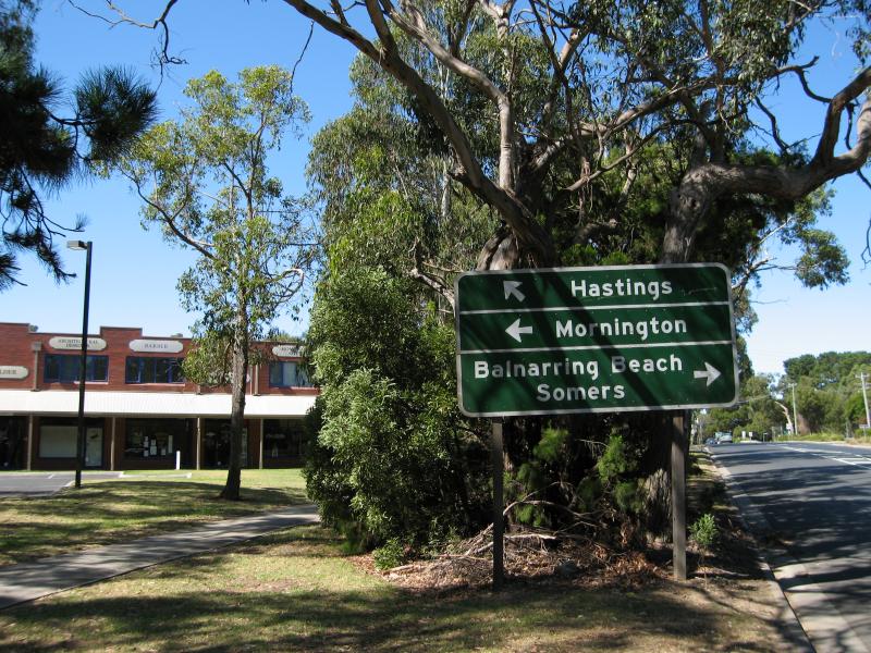
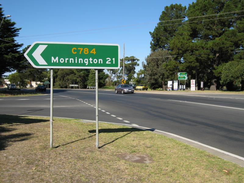
 Shops at Balnarring Village Shopping Centre and surroundings - View south-west along Frankston-Flinders Rd at Balnarring Rd
 Shops at Balnarring Village Shopping Centre and surroundings - View north-east along Frankston-Flinders Rd at Balnarring Rd
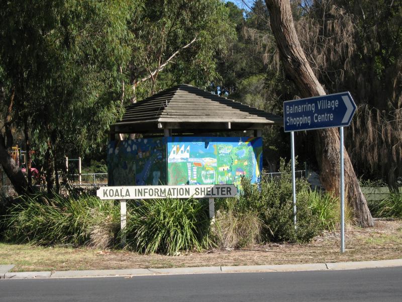 Shops at Balnarring Village Shopping Centre and surroundings - Koala Information Shelter, Frankston-Flinders Rd opposite Balnarring Rd
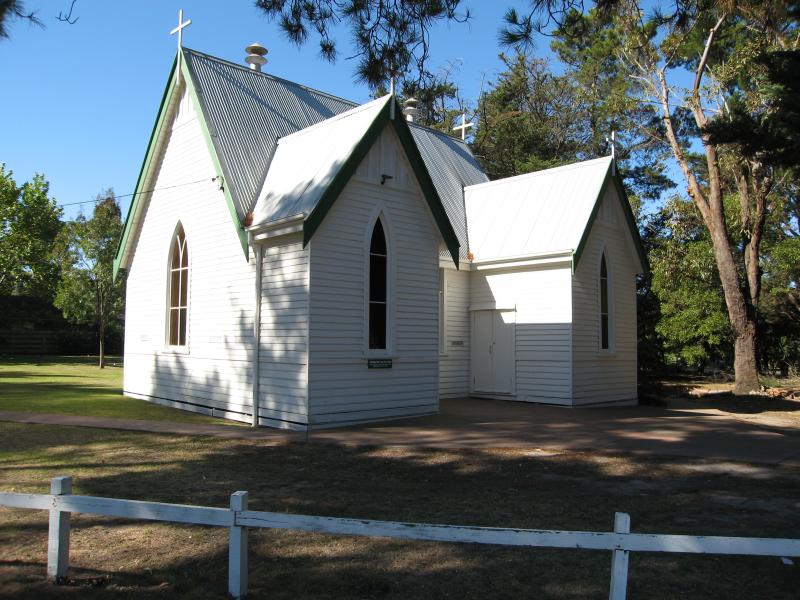 Shops at Balnarring Village Shopping Centre and surroundings - St Marks Anglican Church, Balnarring Rd
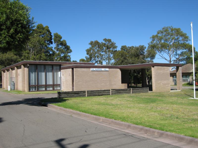 Shops at Balnarring Village Shopping Centre and surroundings - Balnarring Hall, Frankston-Flinders Rd
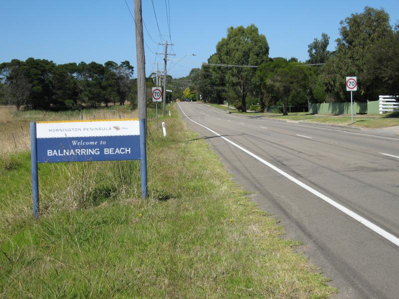 Balnarring Beach town centre - Balnarring Beach town sign, view south along Balnarring Beach Rd
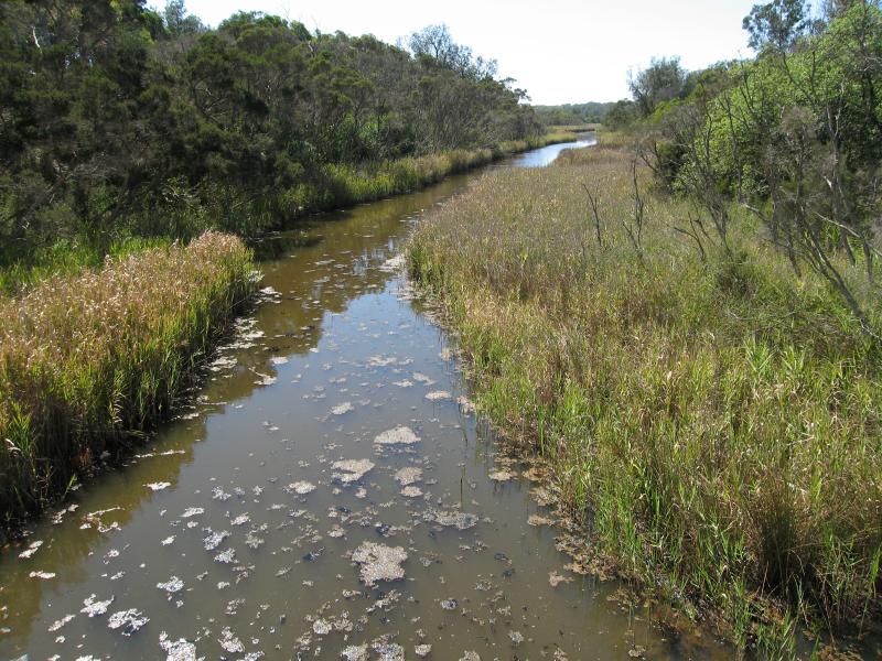 Balnarring Beach town centre - View east along Merricks Creek at Balnarring Beach Rd bridge
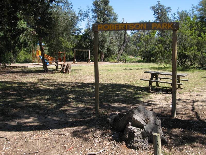 Balnarring Beach town centre - Robertson Park, corner Balnarring Beach Rd and Library Rd
 Balnarring Beach town centre - General Store, corner Balnarring Beach Rd and Foreshore Rd
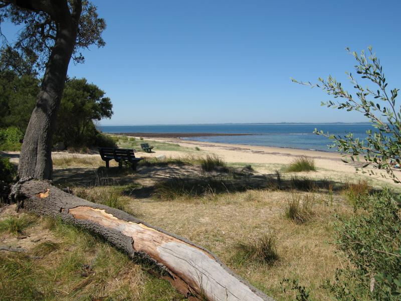
 Balnarring Beach town centre - Park, Library Rd near beach car park entrance
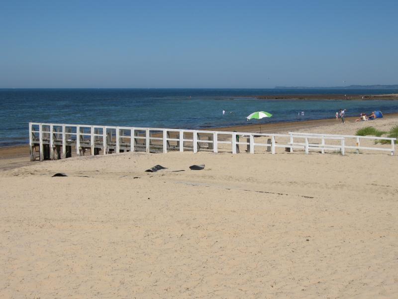
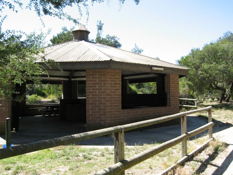 Balnarring Beach town centre - Shelter at beach car park
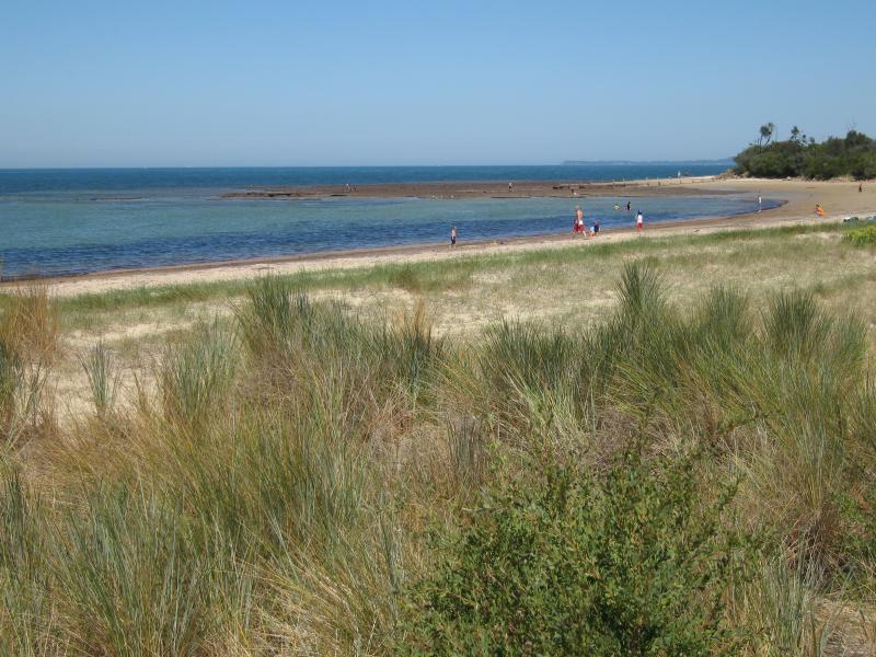
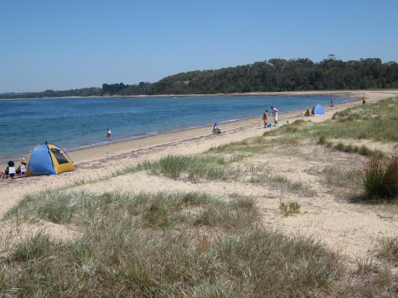
 Beach at end of Balnarring Beach Road - View west at south-western end of main beach
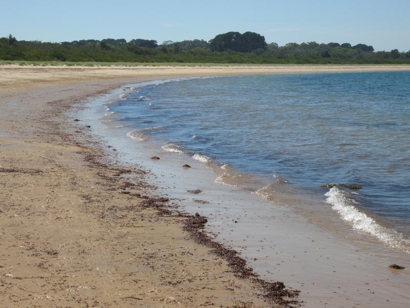
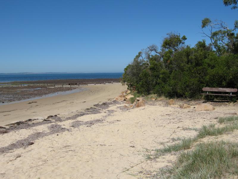 Beach at end of Balnarring Beach Road - View west along beach
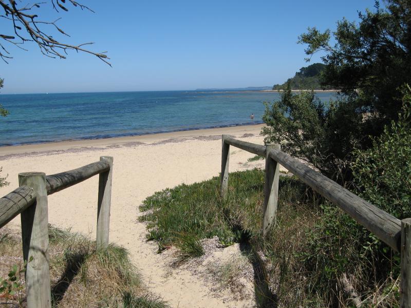
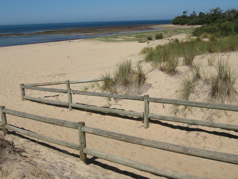 Beach at end of Balnarring Beach Road - View west along beach from path to car park
 Beach at end of Balnarring Beach Road - View across beach from path to car park
 Beach at end of Balnarring Beach Road - View west along beach
 Beach at end of Balnarring Beach Road - View west along beach
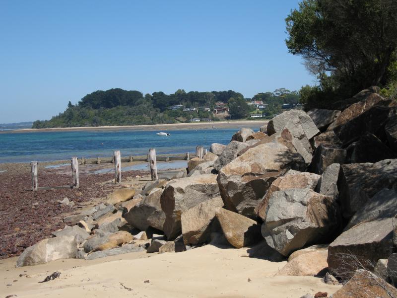
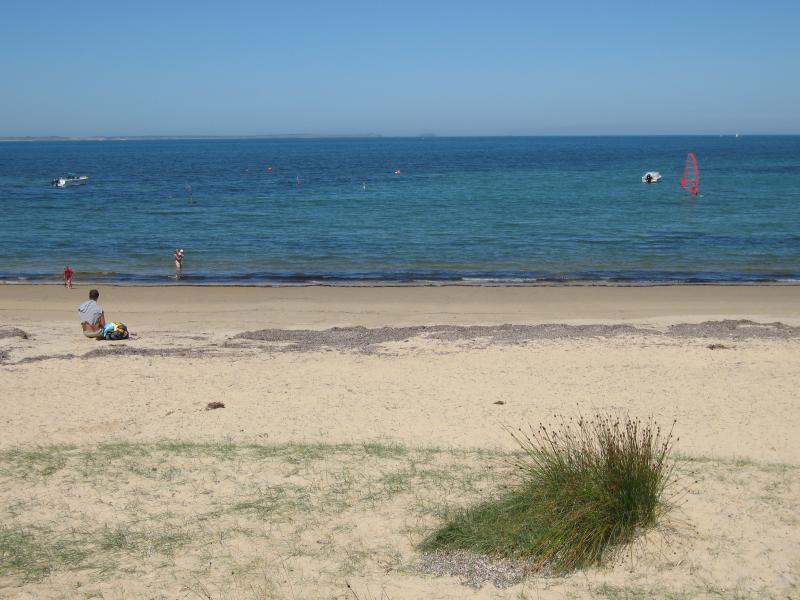
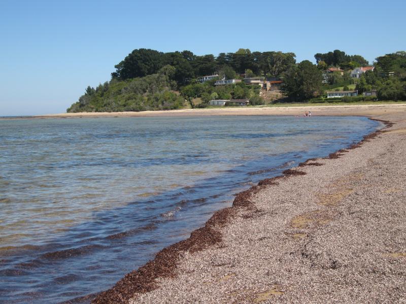
 Beach at end of Balnarring Beach Road - View east along beach
 Beach at end of Balnarring Beach Road - View east along beach
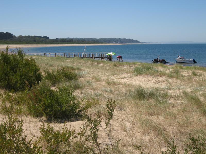
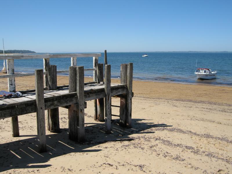
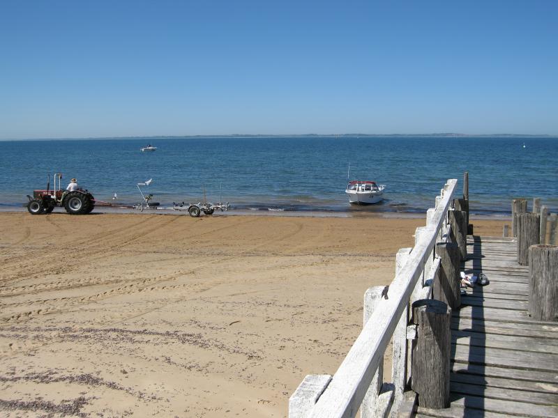
 Beach at end of Balnarring Beach Road - Jetty near yacht club
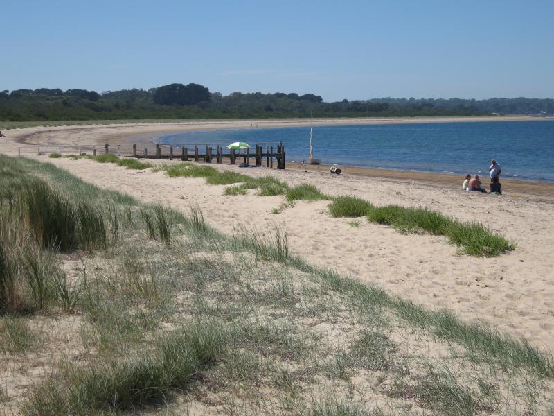
 Beach at end of Balnarring Beach Road - View west along beach at jetty
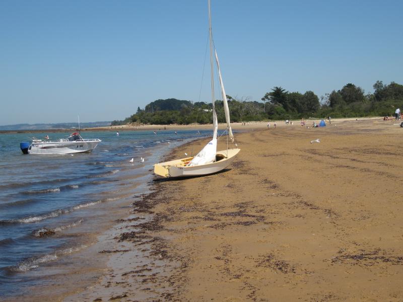
 Beach at end of Balnarring Beach Road - Yacht on beach
 Beach at end of Balnarring Beach Road - View west along beach
 Beach at end of Balnarring Beach Road - Jetty near yacht club
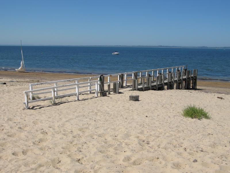
 Beach at end of Balnarring Beach Road - View along jetty towards sea
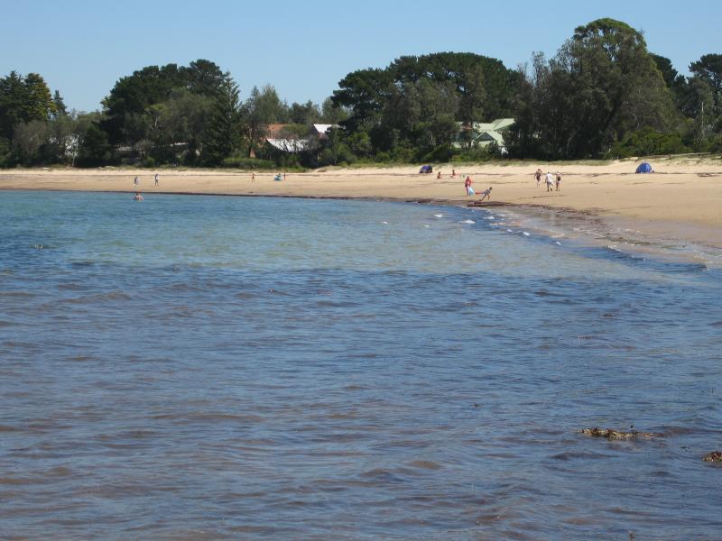
 Beach at end of Balnarring Beach Road - View east along beach near yacht club
 Beach at end of Balnarring Beach Road - View east along beach near yacht club
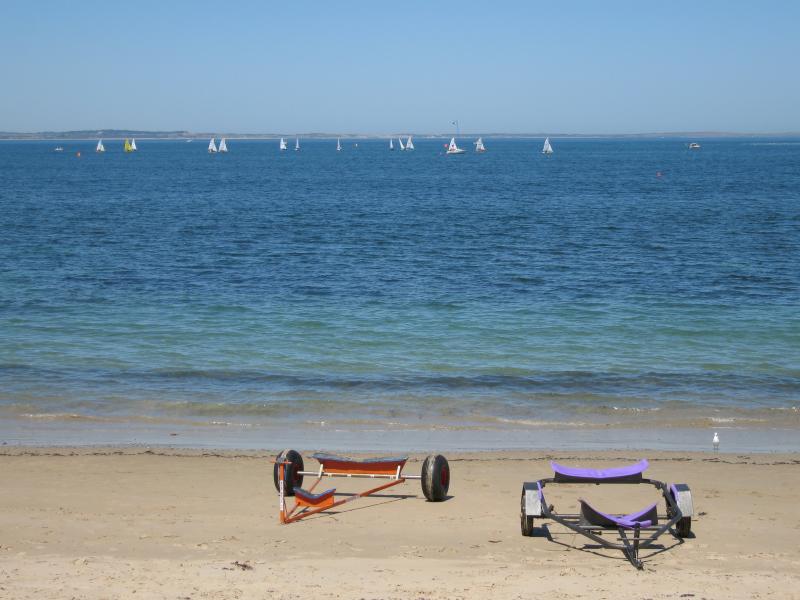
 Beach at end of Balnarring Beach Road - Yacht club and marine rescue facility
 Beach between Masonsmith Road and Marmaduke Street - View west along coast towards Masonsmith Rd
 Beach between Masonsmith Road and Marmaduke Street - View west along coast towards Masonsmith Rd
 Beach between Masonsmith Road and Marmaduke Street - View west along beach at Masonsmith Rd
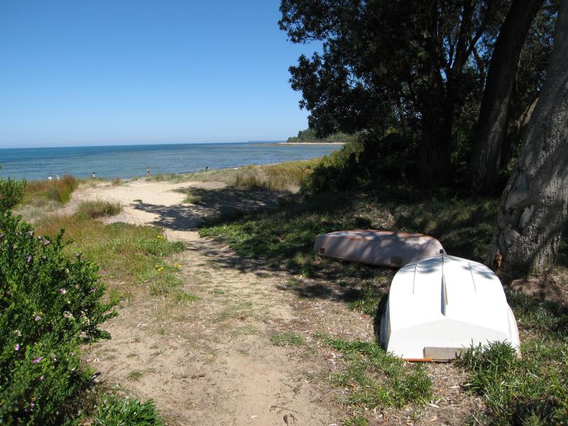
 Beach between Masonsmith Road and Marmaduke Street - Path to beach at Masonsmith Rd
 Beach between Masonsmith Road and Marmaduke Street - View to sea from Masonsmith Rd
 Beach between Masonsmith Road and Marmaduke Street - Path to beach at Tululm Ct
 Beach between Masonsmith Road and Marmaduke Street - View west along beach at Tululm Ct
 Beach between Masonsmith Road and Marmaduke Street - View east along beach at Tululm Ct
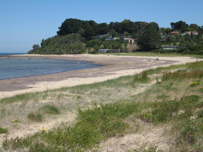 Beach between Masonsmith Road and Marmaduke Street - View west along beach at Marmaduke St
 Beach between Masonsmith Road and Marmaduke Street - View west along beach at Marmaduke St
 Beach between Masonsmith Road and Marmaduke Street - View east along beach at Marmaduke St
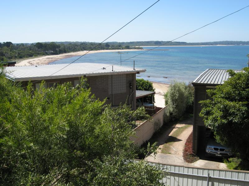 Coast at Cliff Road - View north-east along coast from houses on corner of Cliff Rd and Bayview Rd
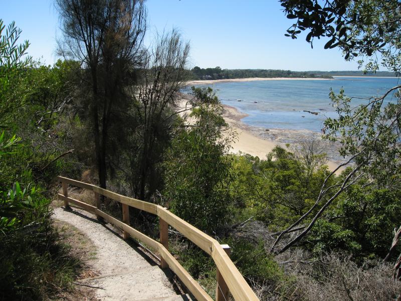 Coast at Cliff Road - Path from Cliff Rd down to beach
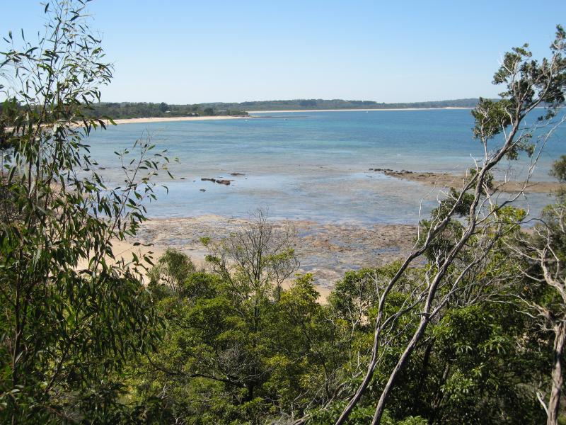 Coast at Cliff Road - View north-east along coast from path from Cliff Rd down to beach
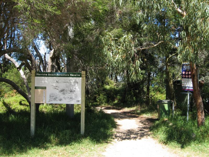 Merricks Beach at end of Merricks Beach Road - Path to beach from end of Merricks Beach Road
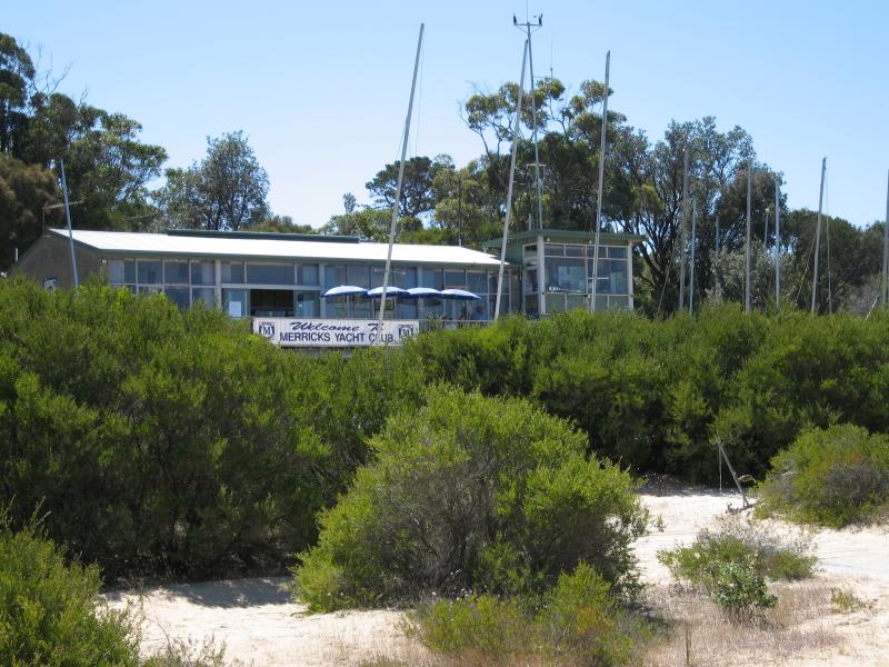 Merricks Beach at end of Merricks Beach Road - Merricks Yacht Club
 Merricks Beach at end of Merricks Beach Road - Foreshore
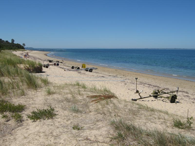
 Merricks Beach at end of Merricks Beach Road - View east along beach
 Merricks Beach at end of Merricks Beach Road - View east along beach
 Merricks Beach at end of Merricks Beach Road - View to sea
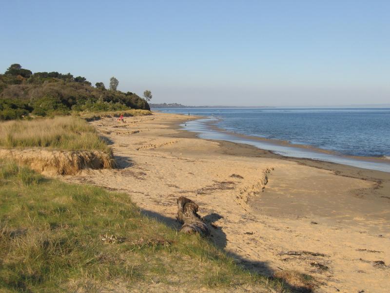
 Merricks Beach at end of Merricks Beach Road - View west along beach
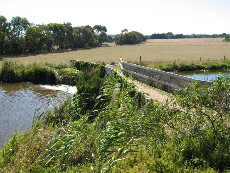
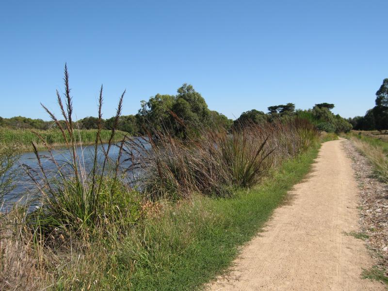
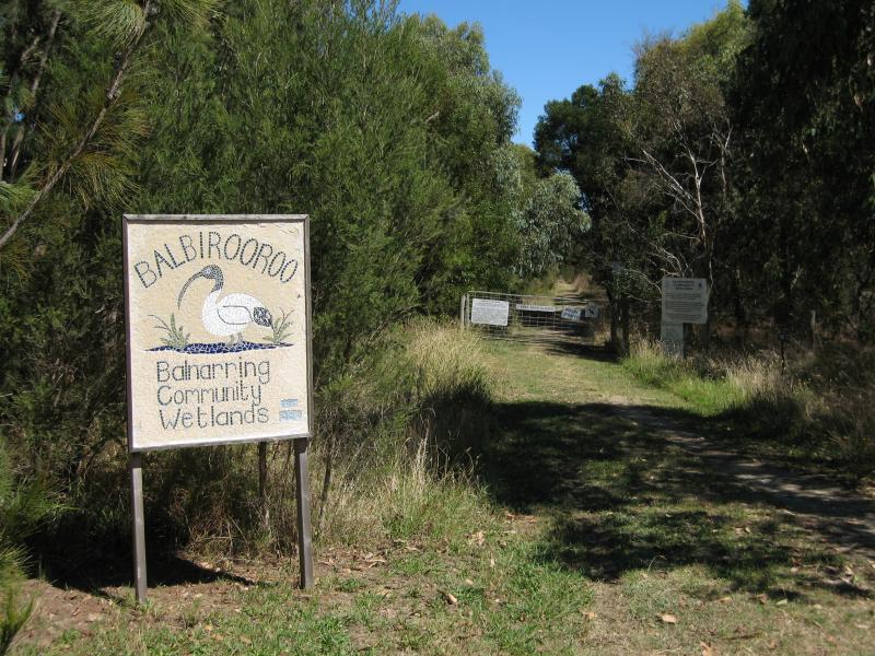 Around Balnarring - Path at Civic Ct to Balbirooroo Community Wetlands
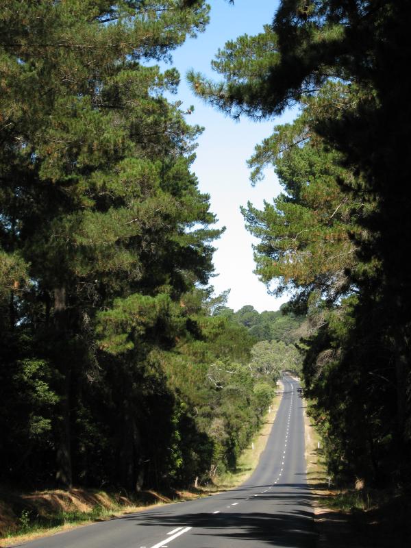
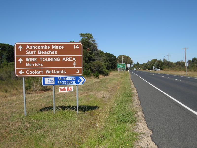 Around Balnarring - View south-west along Frankston-Flinders Rd towards Coolart Rd
 Around Balnarring - View south-east along Balnarring Rd between Bittern Rd and Warrawee Rd
 Around Balnarring - Buckley Reserve, corner of Balnarring Rd and Myer Rd
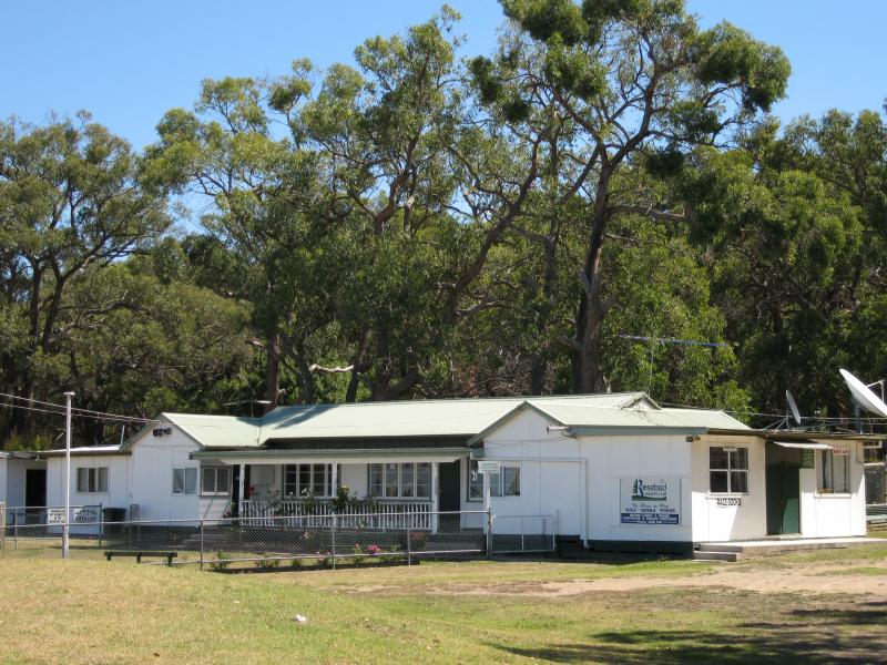 Balnarring Racecourse at Emu Plains Reserve, Coolart Road - Racecourse offices
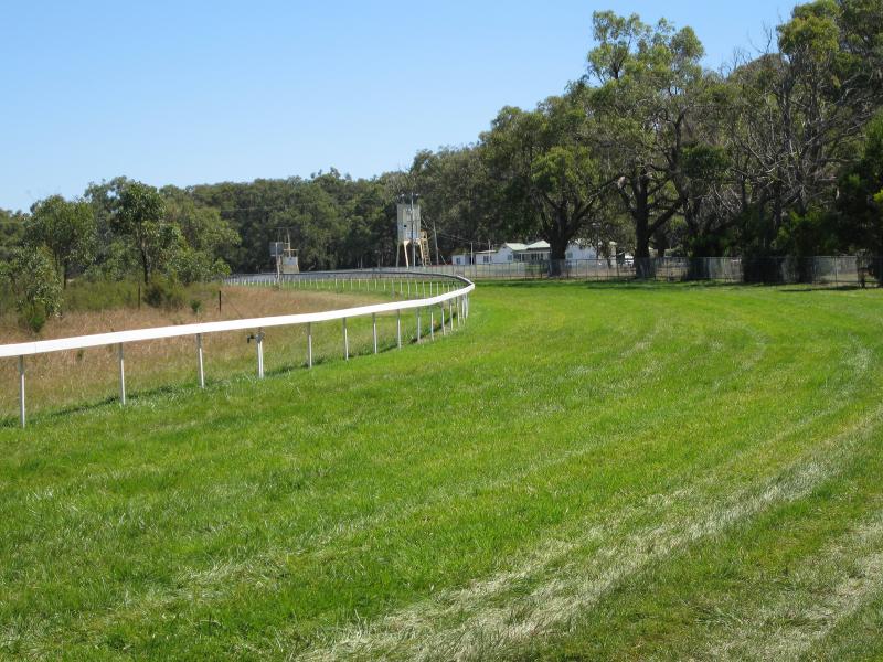 Balnarring Racecourse at Emu Plains Reserve, Coolart Road - View along race track
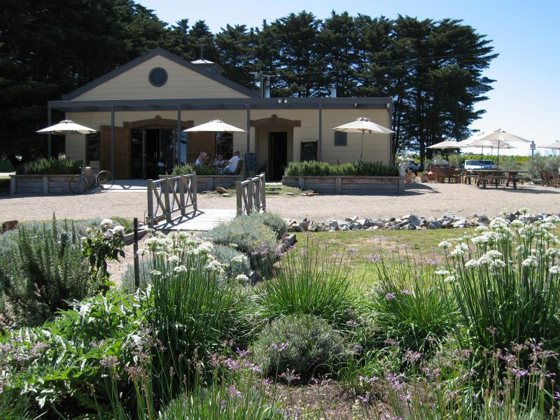 Marina Park Vineyard, Myers Road - Cellar door and restaurant
 Marina Park Vineyard, Myers Road - Tables at cellar door and restaurant
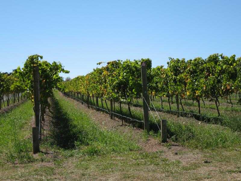 Marina Park Vineyard, Myers Road - Vines
 Marina Park Vineyard, Myers Road - Covered vines
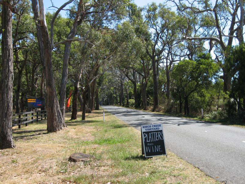
 Wineries around Balnarring - Entrance to Kings Creek Winery, Myer Rd
 Wineries around Balnarring - View west along Myer Rd at Kings Creek Winery
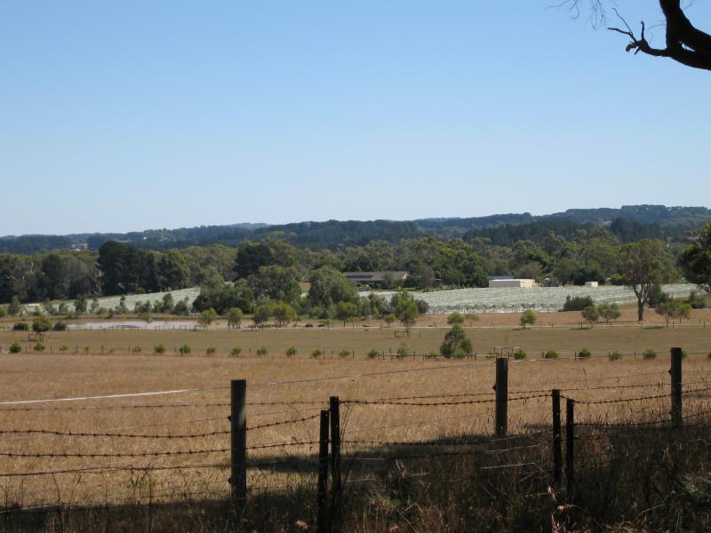 Wineries around Balnarring - View south-west to surrounding wineries from Myers Rd east of Marinda Park Vineyard
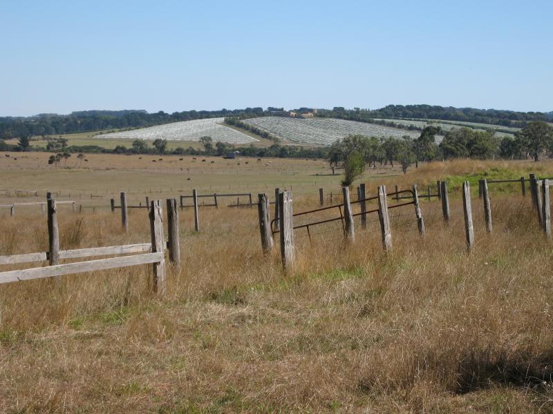 Wineries around Balnarring - View west towards surrounding vineyards, Balnarring Rd between Bittern Rd and Warrawee Rd
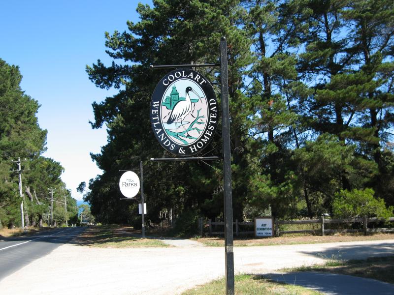 Coolart Wetlands and Homestead, Lord Somers Road - View south along Lord Somers Rd towards entrance
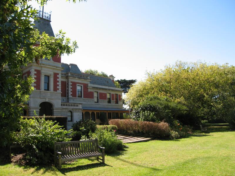 Coolart Wetlands and Homestead, Lord Somers Road - Front of homestead
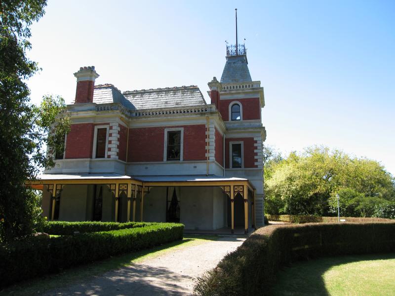 Coolart Wetlands and Homestead, Lord Somers Road - Side of homestead
 Coolart Wetlands and Homestead, Lord Somers Road - Rear of homestead
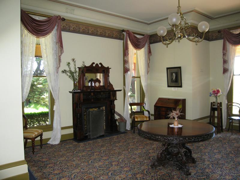 Coolart Wetlands and Homestead, Lord Somers Road - Inside homestead
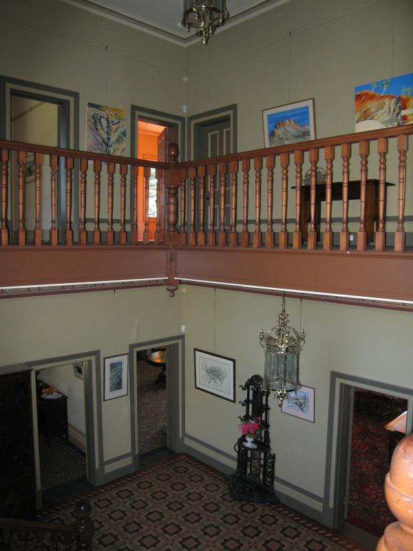 Coolart Wetlands and Homestead, Lord Somers Road - Inside homestead at staircase
 Coolart Wetlands and Homestead, Lord Somers Road - Gardens in front of homestead
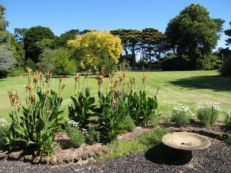 Coolart Wetlands and Homestead, Lord Somers Road - Gardens in front of homestead
 Coolart Wetlands and Homestead, Lord Somers Road - Herb garden
 Coolart Wetlands and Homestead, Lord Somers Road - Orchard
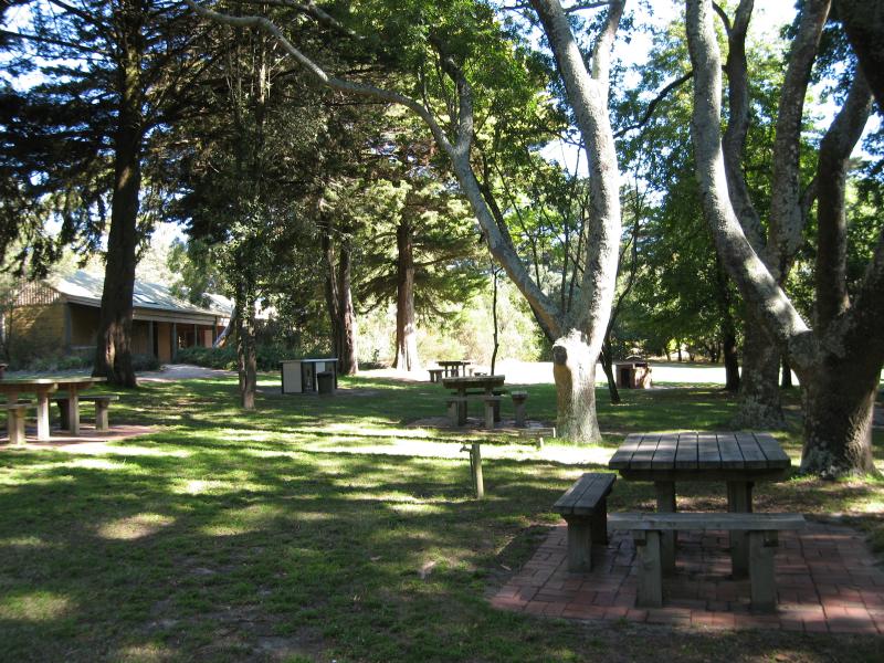 Coolart Wetlands and Homestead, Lord Somers Road - BBQ area
 Coolart Wetlands and Homestead, Lord Somers Road - Seating inside Observatory
 Coolart Wetlands and Homestead, Lord Somers Road - View from inside Observatory
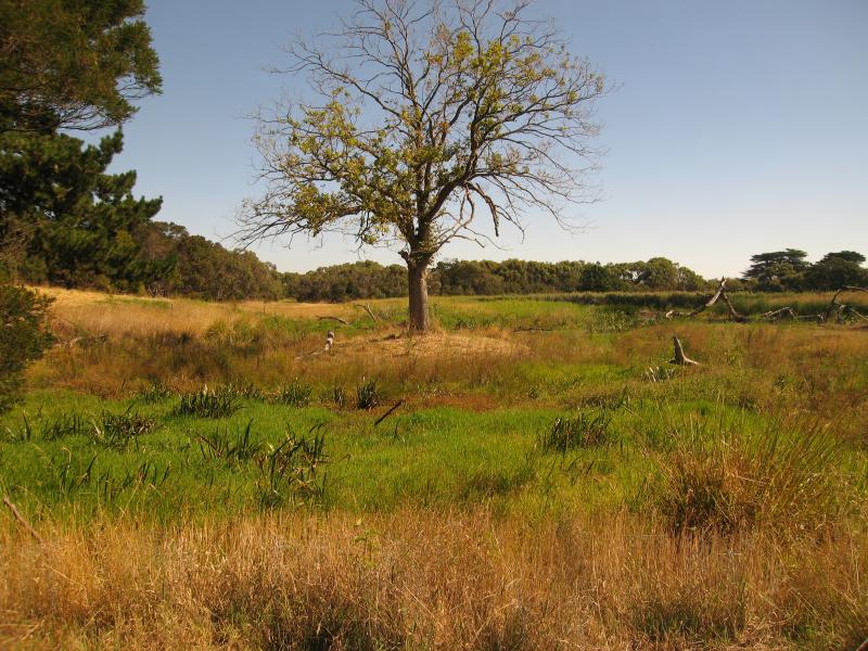
 Coolart Wetlands and Homestead, Lord Somers Road - Wetlands at rear of homestead
 Coolart Wetlands and Homestead, Lord Somers Road - Wetlands at rear of homestead
 Coolart Wetlands and Homestead, Lord Somers Road - Wetlands at rear of homestead
 Coolart Wetlands and Homestead, Lord Somers Road - Wetlands at rear of homestead