Barwon Heads - photos
Barwon Heads
Stay
See and do
Food and drink
Shopping
Getting around
Visitor information
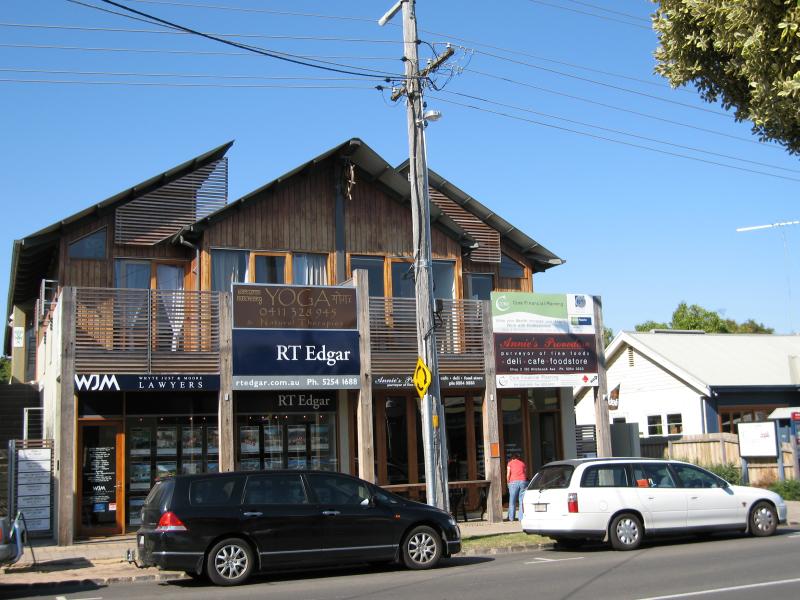
 Shops and commercial centre - Bridge Road and Hitchcock Avenue - View west along Bridge Rd towards Flinders Pde
 Shops and commercial centre - Bridge Road and Hitchcock Avenue - View west along Bridge Rd towards Flinders Pde
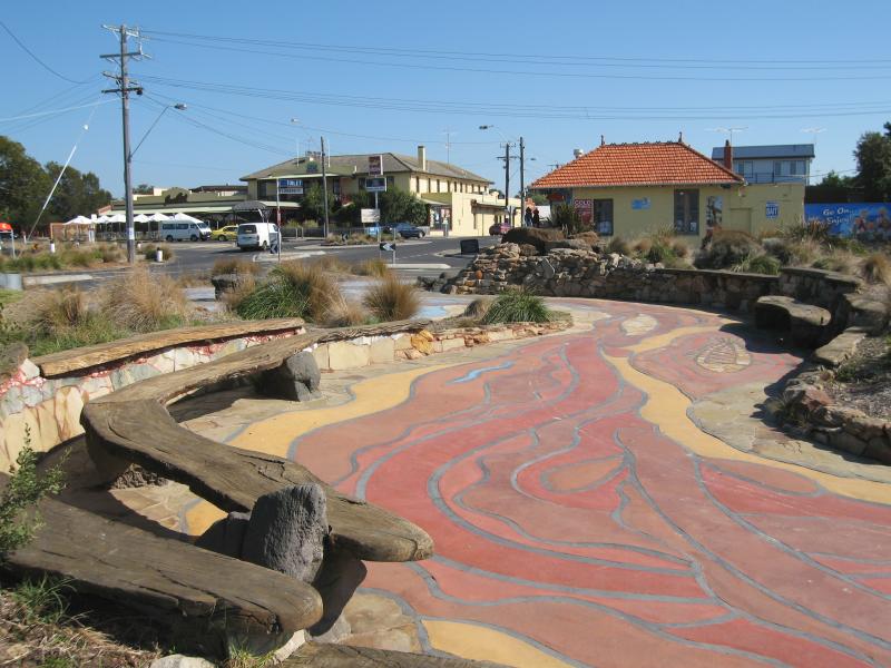
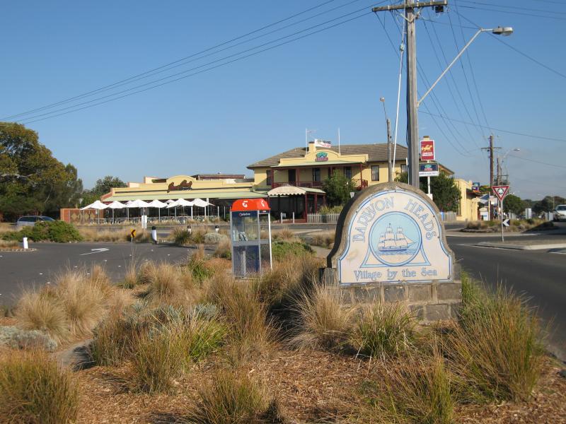
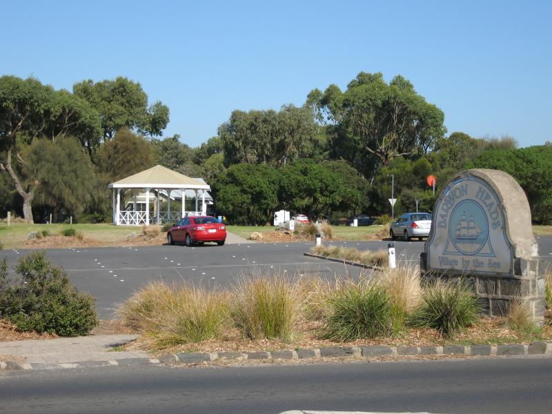
 Shops and commercial centre - Bridge Road and Hitchcock Avenue - Barwon Heads 'Village by the Sea' sign, Bridge Rd opposite Flinders Pde
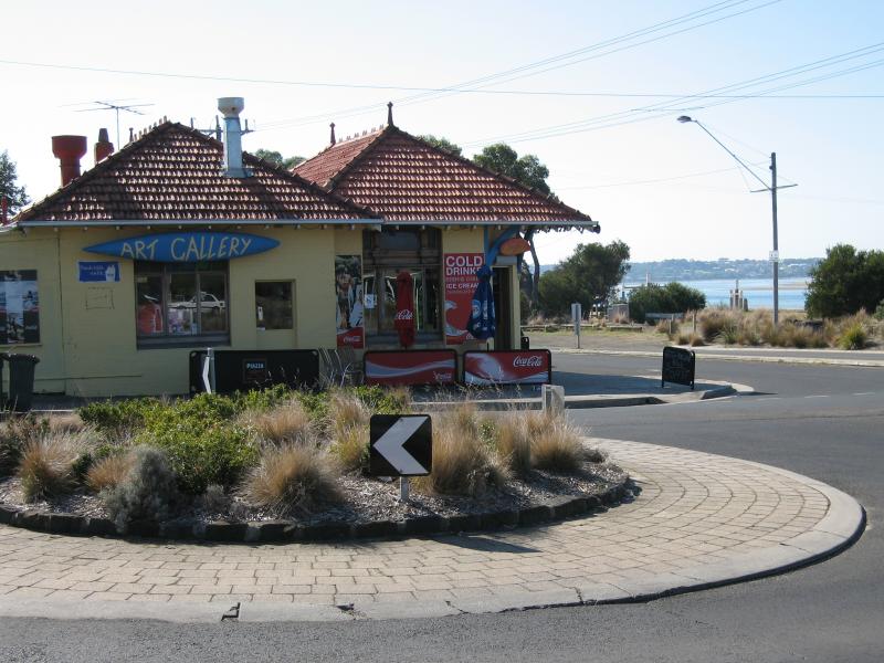 Shops and commercial centre - Bridge Road and Hitchcock Avenue - Cafe and art gallery, view north along Flinders Pde at Bridge Rd
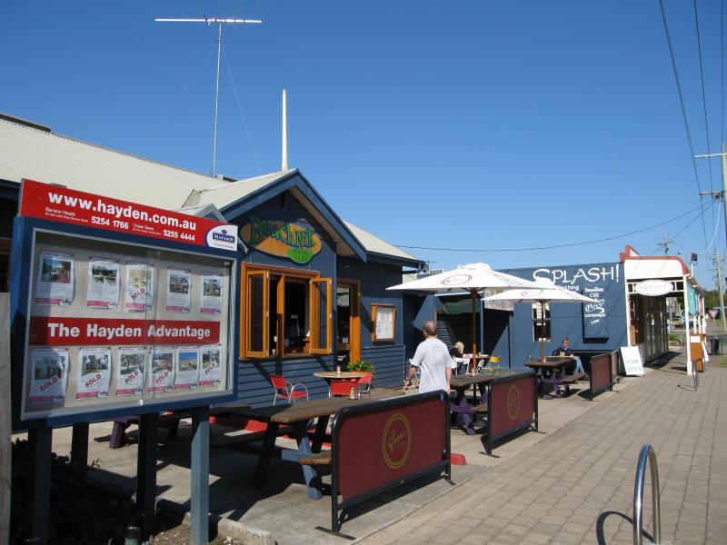
 Shops and commercial centre - Bridge Road and Hitchcock Avenue - View west along Bridge Rd towards Ewing Blyth Dr
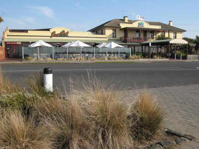 Shops and commercial centre - Bridge Road and Hitchcock Avenue - Barwon Heads Hotel, corner Bridge Rd and Ewing Blyth Dr
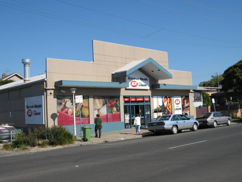 Shops and commercial centre - Bridge Road and Hitchcock Avenue - Supermarket, Bridge Rd
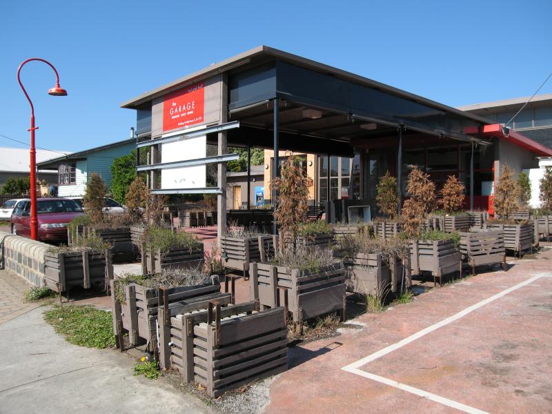 Shops and commercial centre - Bridge Road and Hitchcock Avenue - 'The Garage', corner Bridge Rd and Hitchcock Av
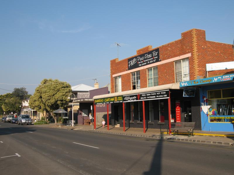
 Shops and commercial centre - Bridge Road and Hitchcock Avenue - View east along Bridge Rd at Hitchcock Av
 Shops and commercial centre - Bridge Road and Hitchcock Avenue - Cafes, Hitchcock Av north of Bridge Rd
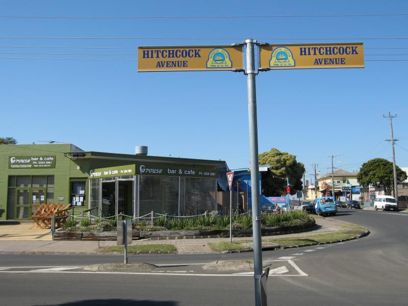
 Shops and commercial centre - Bridge Road and Hitchcock Avenue - View south along Hitchcock Av towards Bridge Rd
 Shops and commercial centre - Bridge Road and Hitchcock Avenue - Shops, Hitchcock Av between Bridge Rd and Clifford Pde
 Shops and commercial centre - Bridge Road and Hitchcock Avenue - View south along Hitchcock Av, south of Clifford Pde
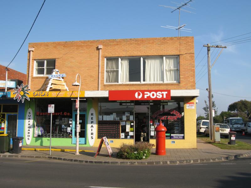 Shops and commercial centre - Bridge Road and Hitchcock Avenue - Barwon Heads post office, corner Hitchcock Av and Clifford Pde
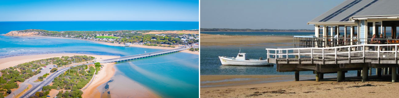
 Barwon Heads Bridge - View east towards bridge from Bridge Rd
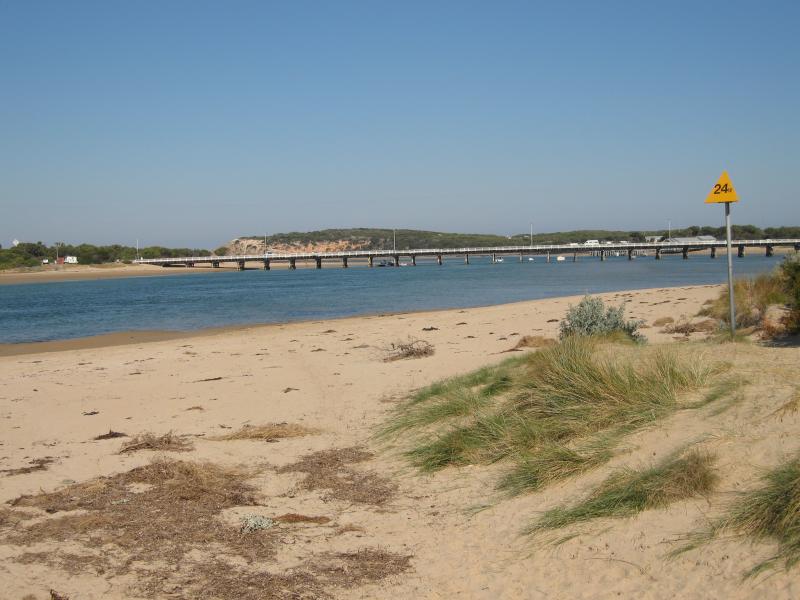
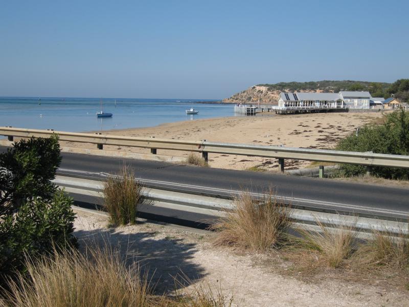 Barwon Heads Bridge - View south along coast from western end of bridge
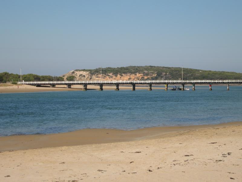
 Barwon Heads Bridge - View east along bridge
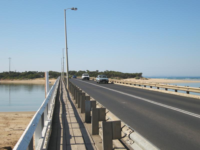
 Barwon Heads Bridge - View west along bridge towards Barwon Heads
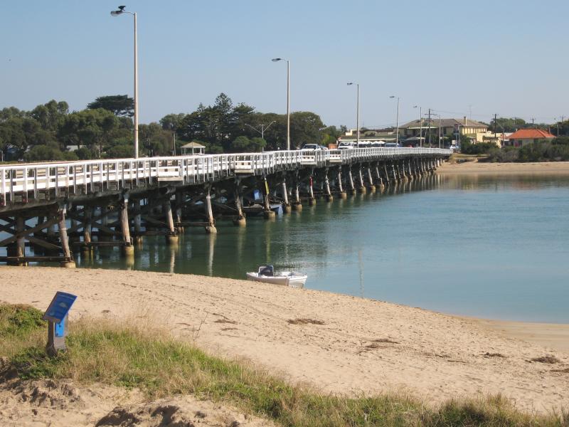 Barwon Heads Bridge - View west along bridge towards Barwon Heads from eastern end
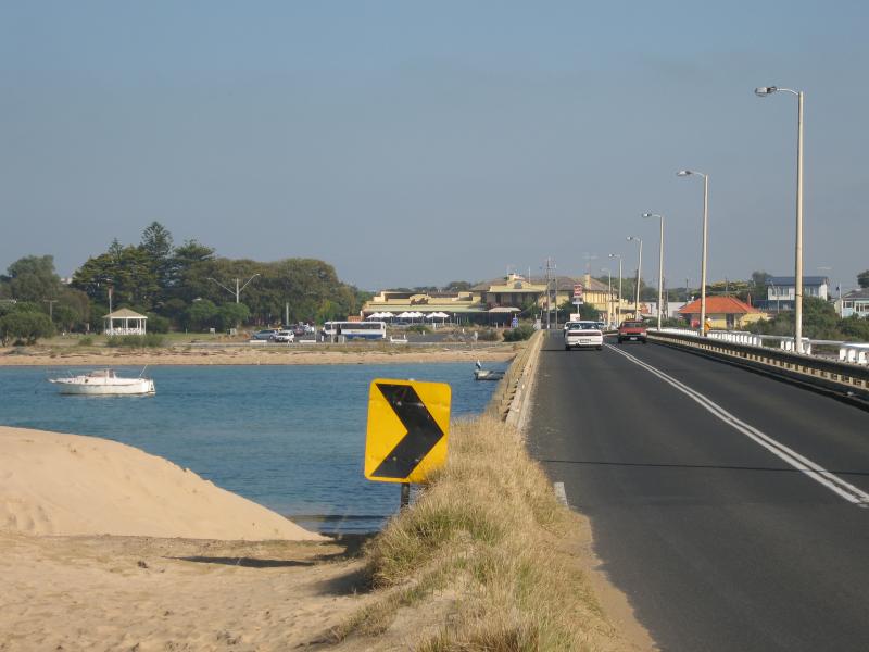 Barwon Heads Bridge - View west along bridge towards Barwon Heads from eastern end
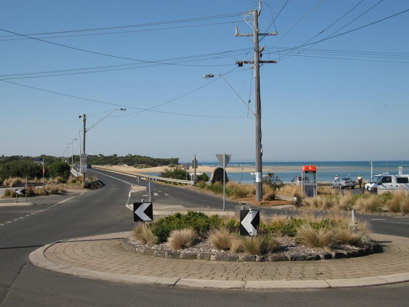
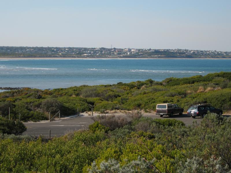
 Coastline between Barwon Heads bridge and The Bluff - Car park, corner Bridge Rd and Ewing Blyth Dr
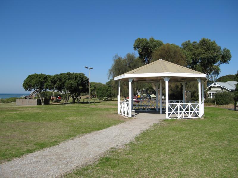 Coastline between Barwon Heads bridge and The Bluff - Rotunda near corner of Bridge Rd and Ewing Blyth Dr
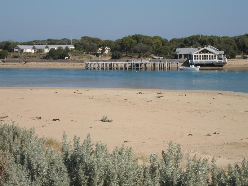
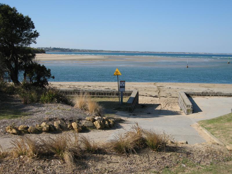
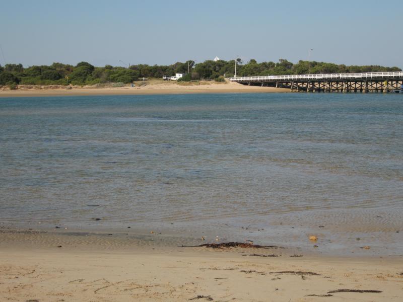
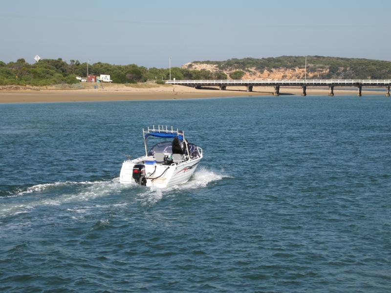
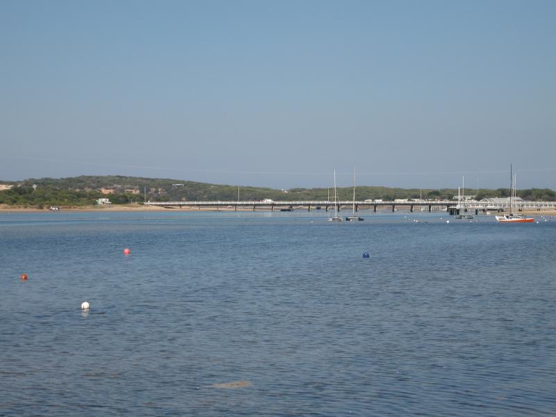
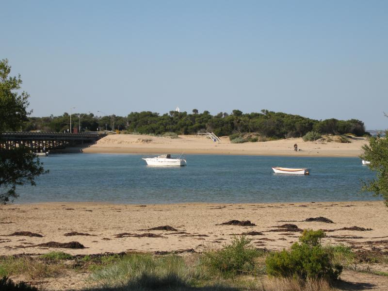 Coastline between Barwon Heads bridge and The Bluff - View east across Barwon River Mouth towards Sandy Point
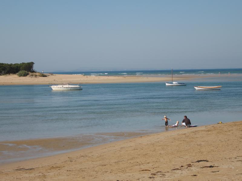 Coastline between Barwon Heads bridge and The Bluff - View east across Barwon River Mouth towards Sandy Point
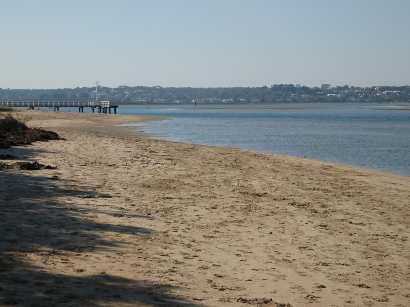
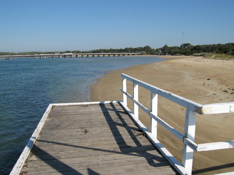
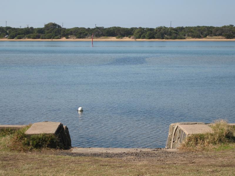
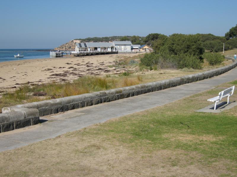 Coastline between Barwon Heads bridge and The Bluff - View south along coastline towards jetty
 Coastline between Barwon Heads bridge and The Bluff - View south along coastline towards jetty
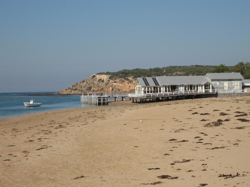
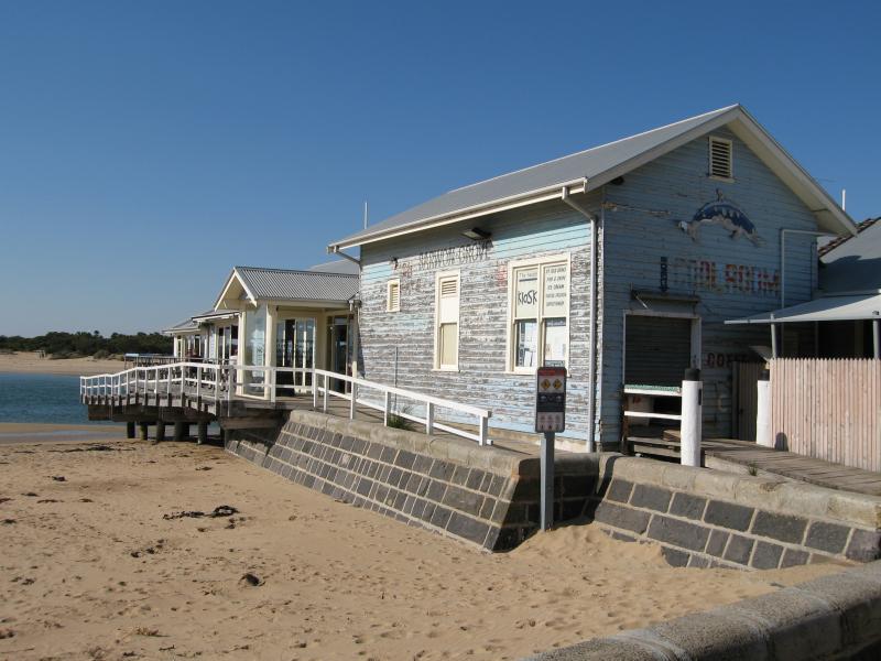
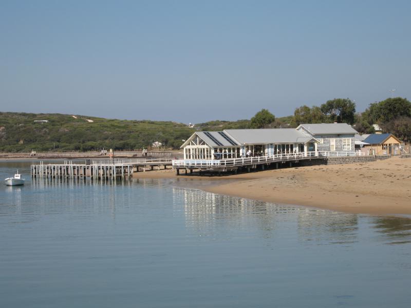 Coastline between Barwon Heads bridge and The Bluff - View of jetty and At The Heads bar/restaurant
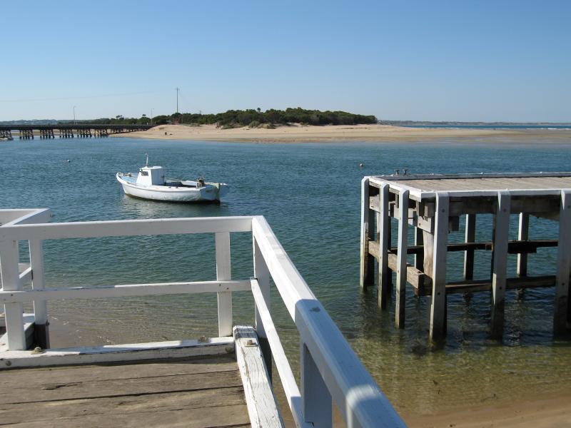
 Coastline between Barwon Heads bridge and The Bluff - View west across Barwon River mouth from Sandy Point towards jetty
 Coastline between Barwon Heads bridge and The Bluff - Entrance to At The Heads bar/restaurant on foreshore
 Coastline between Barwon Heads bridge and The Bluff - View north-east across Barwon River mouth from At The Heads bar/restaurant
 Coastline between Barwon Heads bridge and The Bluff - View north-east towards Sandy Point and Barwon Heads Bridge from At The Heads bar/restaurant
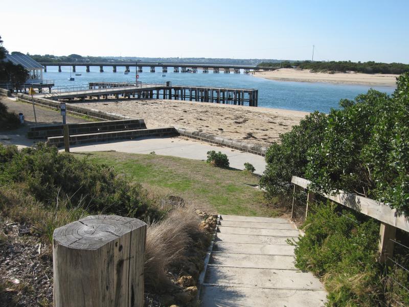
 Coastline between Barwon Heads bridge and The Bluff - View south-east along coast towards jetty and The Bluff
 Coastline between Barwon Heads bridge and The Bluff - View south-east along coast from jetty towards The Bluff
 Coastline between Barwon Heads bridge and The Bluff - View north-west along coastline towards jetty and Barwon Heads Bridge
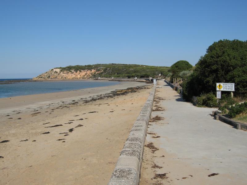 Coastline between Barwon Heads bridge and The Bluff - View south-east along coast towards The Bluff
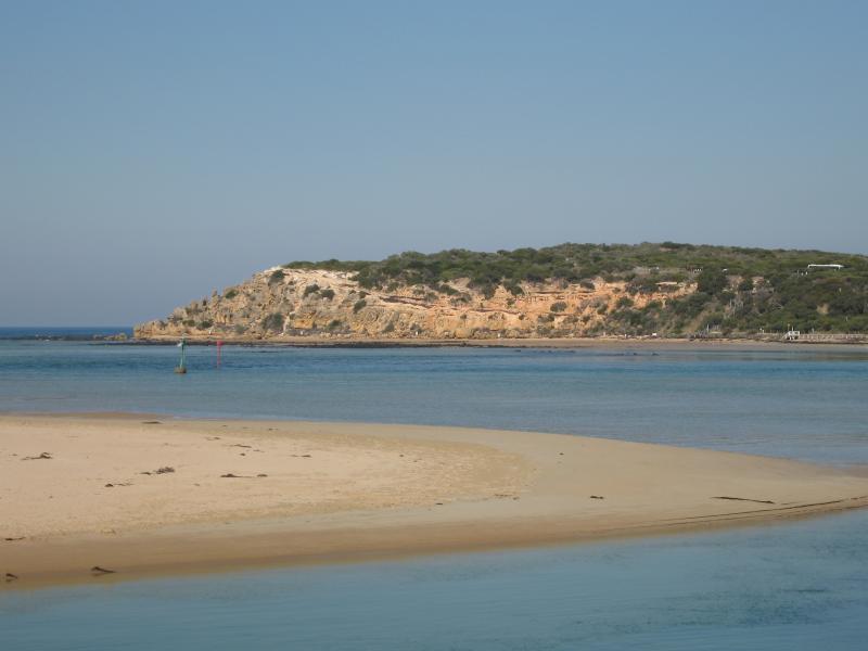
 Coastline between Barwon Heads bridge and The Bluff - View north-east towards Sandy Point
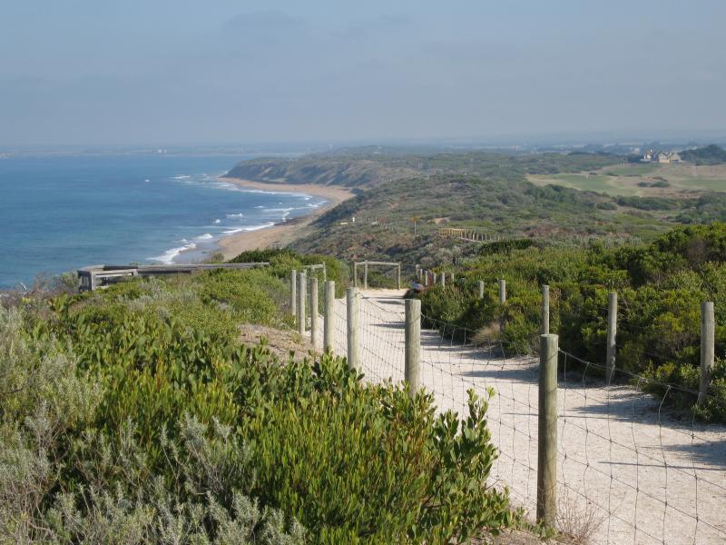
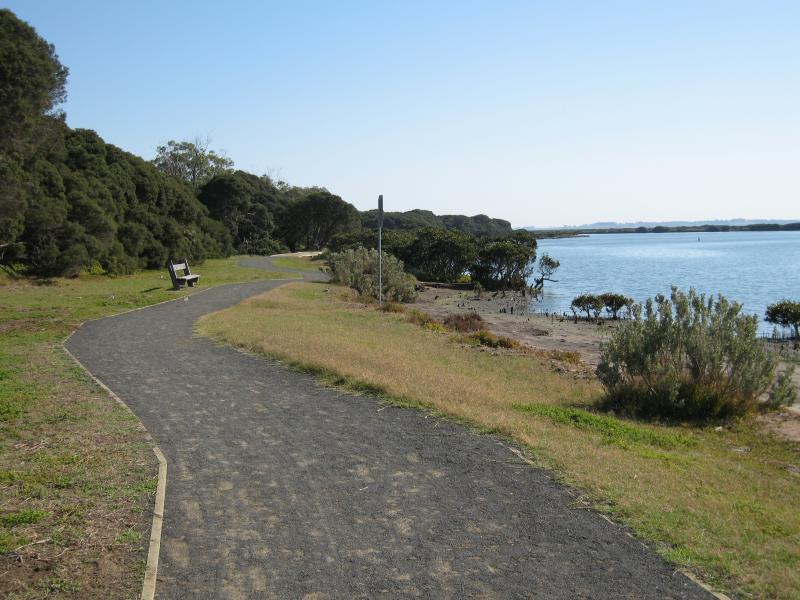
 Coastline between Barwon Heads bridge and The Bluff - View south-east along coastal walking track to The Bluff
 Coastline between Barwon Heads bridge and The Bluff - View south towards The Bluff across Sandy Point
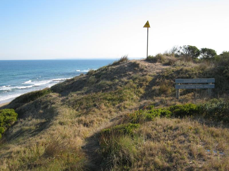
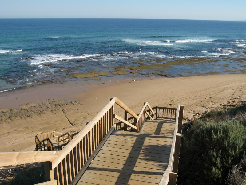
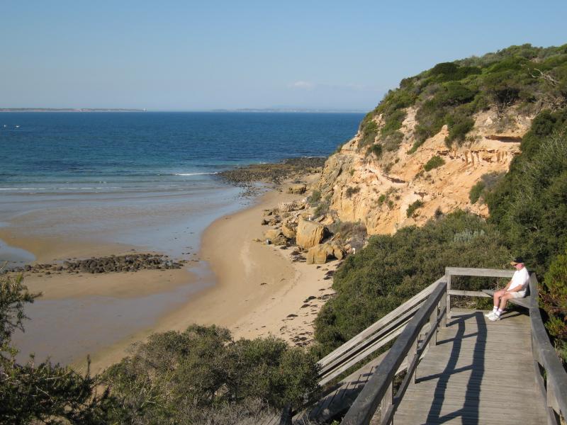 The Bluff (Point Flinders), views from lookouts and walking tracks - View east along coast towards The Bluff from steps down to beach
 The Bluff (Point Flinders), views from lookouts and walking tracks - View north-west at Bluff Lookout
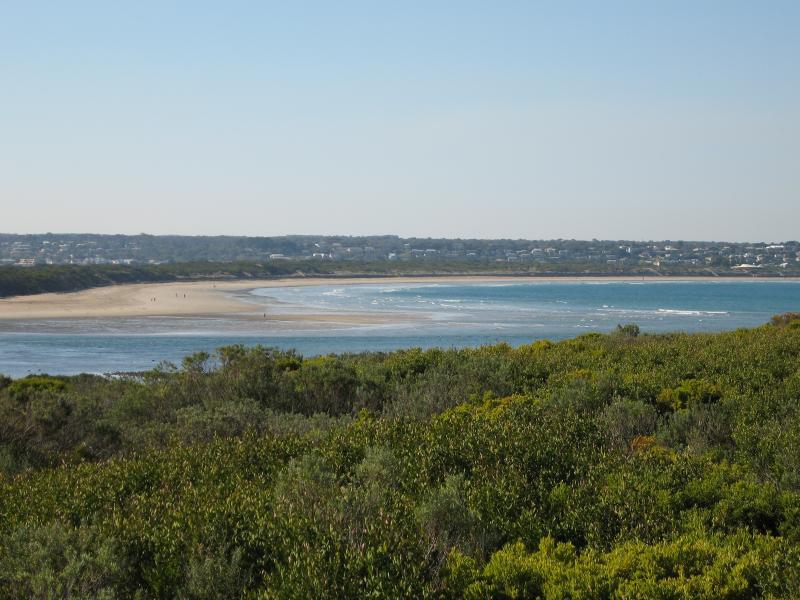
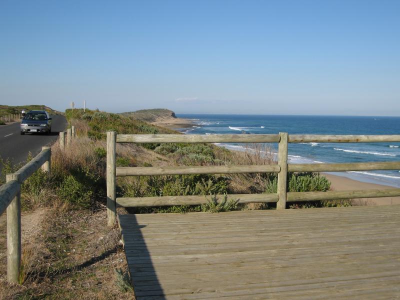
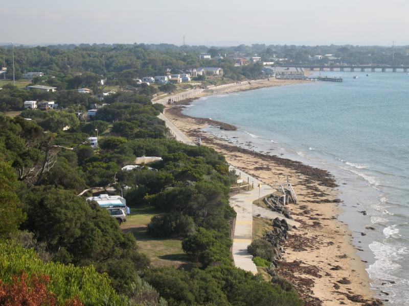 The Bluff (Point Flinders), views from lookouts and walking tracks - View north-west along coast towards town centre and bridge from Bluff Lookout
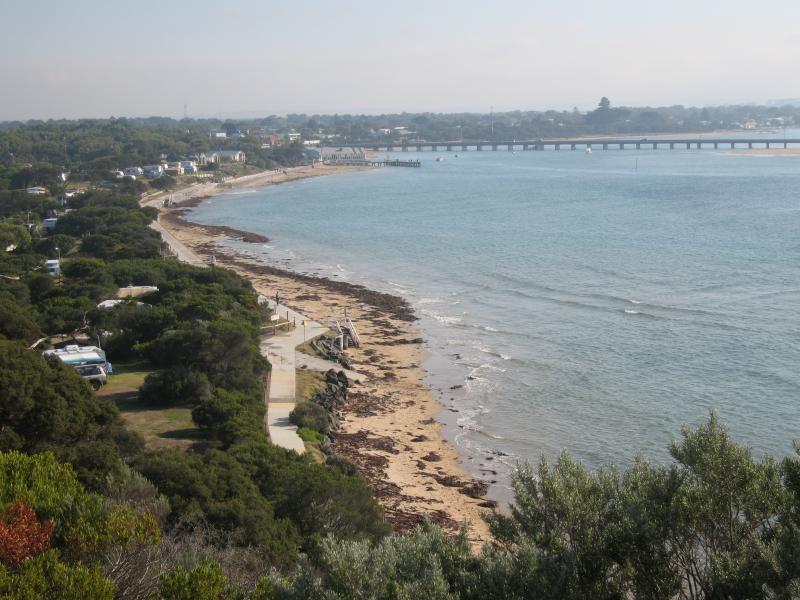 The Bluff (Point Flinders), views from lookouts and walking tracks - View north-west along coast towards bridge from Bluff Lookout
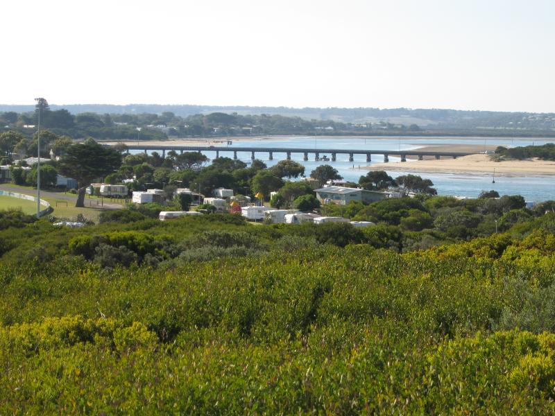
 The Bluff (Point Flinders), views from lookouts and walking tracks - View north towards oval at caravan park
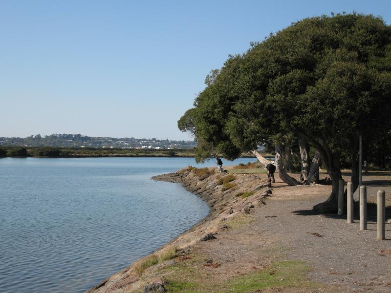
 The Bluff (Point Flinders), views from lookouts and walking tracks - View north along Barwon River towards bridge from walking track
 The Bluff (Point Flinders), views from lookouts and walking tracks - View north along Barwon River towards bridge from walking track
 The Bluff (Point Flinders), views from lookouts and walking tracks - View north-east towards Sandy Point and Ocean Grove
 The Bluff (Point Flinders), views from lookouts and walking tracks - View north-east across Ingamells Bay towards Ocean Grove
 The Bluff (Point Flinders), views from lookouts and walking tracks - View north-east across Ingamells Bay towards Ocean Grove
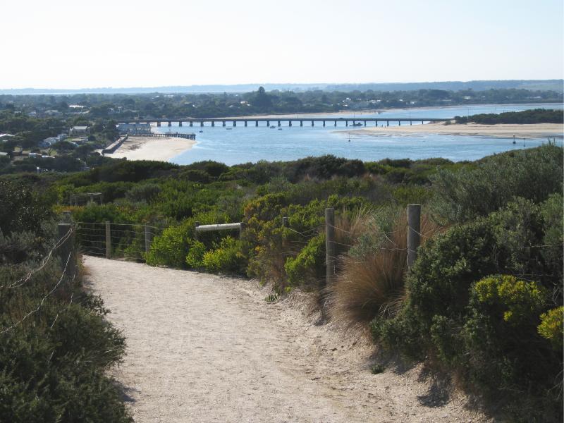
 The Bluff (Point Flinders), views from lookouts and walking tracks - View north-east towards The Bluff and Ocean Grove along walking track
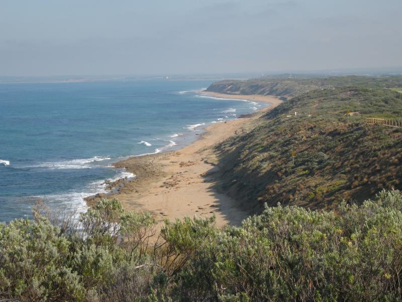
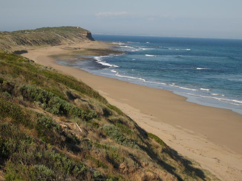
 The Bluff (Point Flinders), views from lookouts and walking tracks - View east along coast towards The Bluff
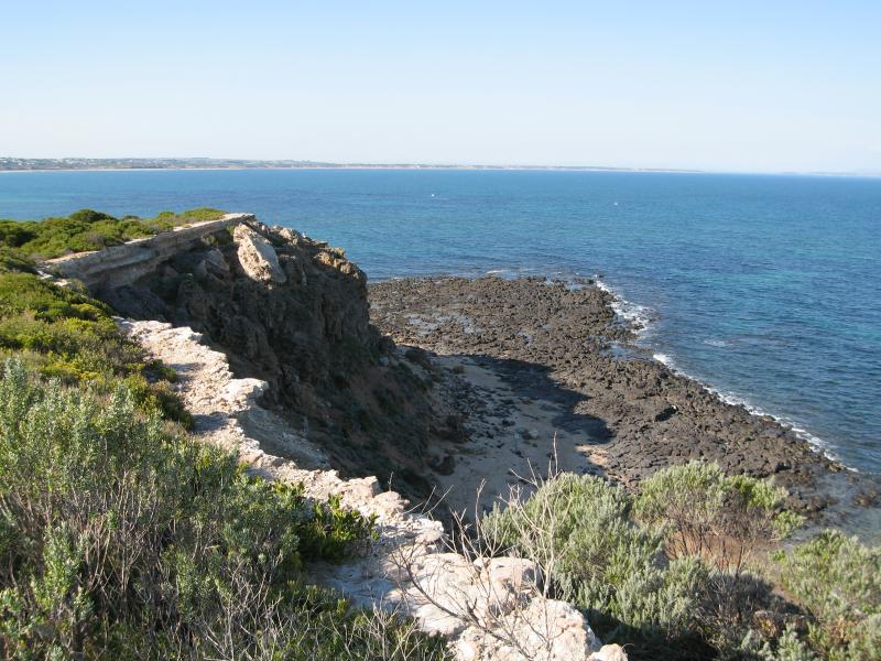
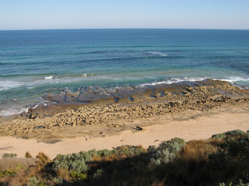
 The Bluff (Point Flinders), views from lookouts and walking tracks - View south to Bass Strait
 The Bluff (Point Flinders), views from lookouts and walking tracks - View west along coast fronting Bass Strait
 The Bluff (Point Flinders), views from lookouts and walking tracks - View west along coast fronting Bass Strait
 The Bluff (Point Flinders), views from lookouts and walking tracks - View east along coast fronting Bass Strait
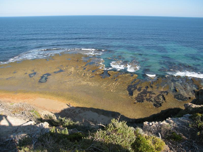
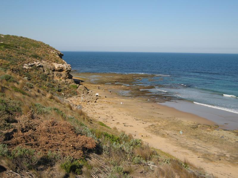
 The Bluff (Point Flinders), views from lookouts and walking tracks - View down to beach fronting Bass Strait
 The Bluff (Point Flinders), views from lookouts and walking tracks - View west along path fronting Bass Strait
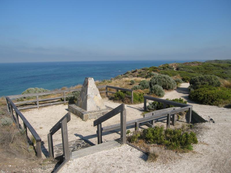 The Bluff (Point Flinders), views from lookouts and walking tracks - Early pioneer monument
 The Bluff (Point Flinders), views from lookouts and walking tracks - View west along coast fronting Bass Strait
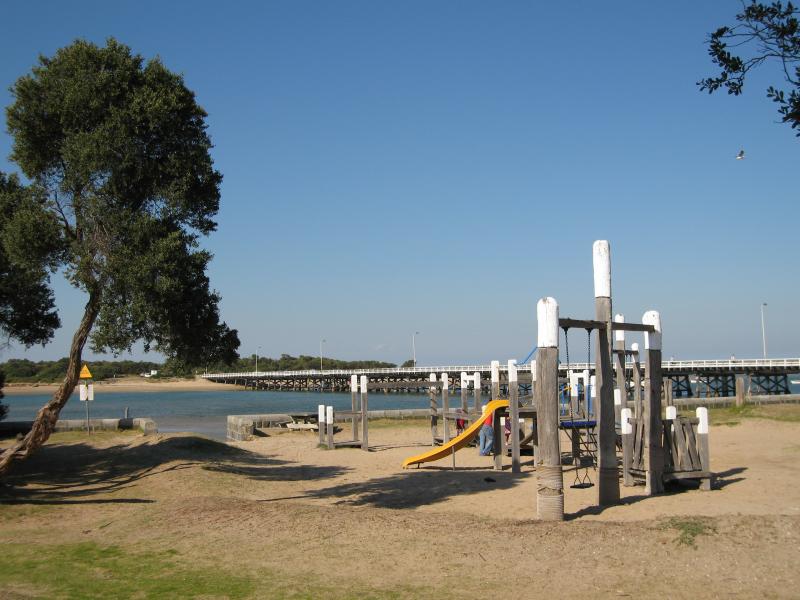 Frank Ellis Reserve, Barwon River coastline along Flinders Parade - Playground
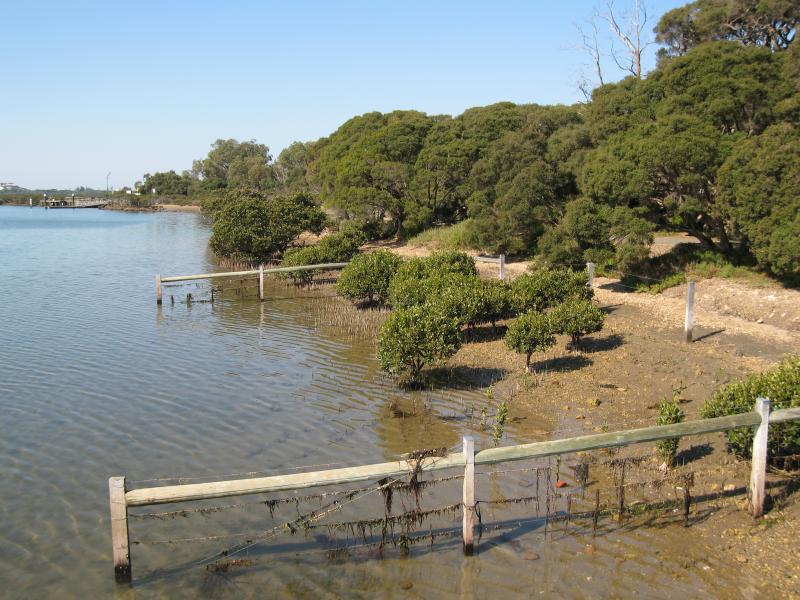
 Frank Ellis Reserve, Barwon River coastline along Flinders Parade - View east across river towards bridge
 Frank Ellis Reserve, Barwon River coastline along Flinders Parade - View south along coast towards bridge
 Frank Ellis Reserve, Barwon River coastline along Flinders Parade - View towards bridge and The Bluff
 Frank Ellis Reserve, Barwon River coastline along Flinders Parade - View east across river
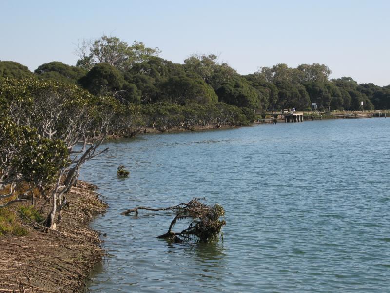
 Frank Ellis Reserve, Barwon River coastline along Flinders Parade - View north along river
 Ozone Jetty, Barwon River at end of Ozone Road - View south along beach towards bridge
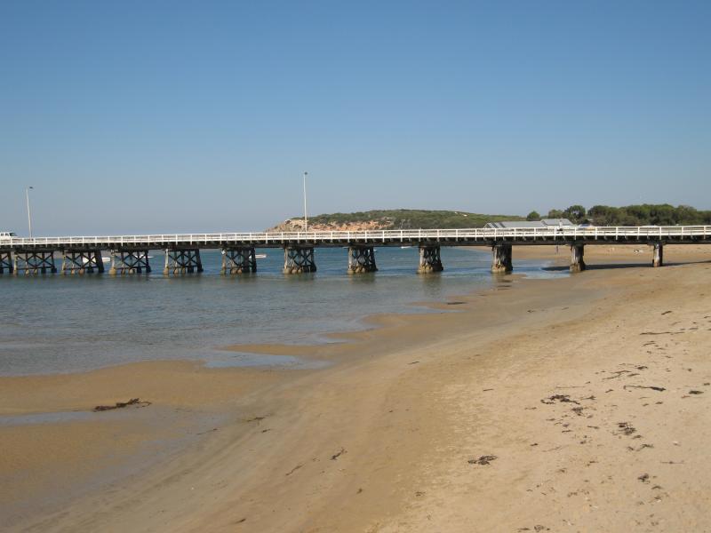
 Ozone Jetty, Barwon River at end of Ozone Road - View south towards bridge and The Bluff
 Ozone Jetty, Barwon River at end of Ozone Road - View south towards bridge and Sandy Point
 Ozone Jetty, Barwon River at end of Ozone Road - View south along beach from jetty
 Ozone Jetty, Barwon River at end of Ozone Road - View east from foreshore towards Ozone Jetty and Barwon River
 Ozone Jetty, Barwon River at end of Ozone Road - View north-east along Barwon River
 Barwon River at eastern end of Geelong Road - View south along Barwon River
 Barwon River at eastern end of Geelong Road - View south along river towards bridge
 Barwon River at eastern end of Geelong Road - View east across river
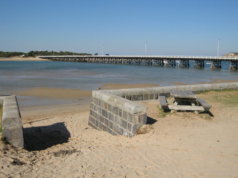
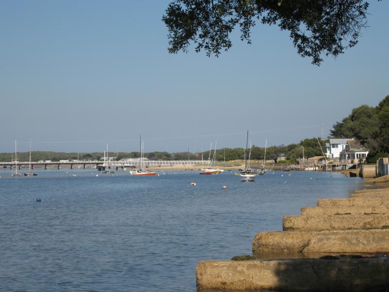
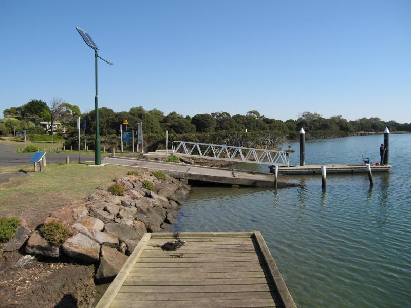 Barwon River along River Parade - Jetty and boat ramp at eastern end of River Pde
 Barwon River along River Parade - Boat ramp at eastern end of River Pde
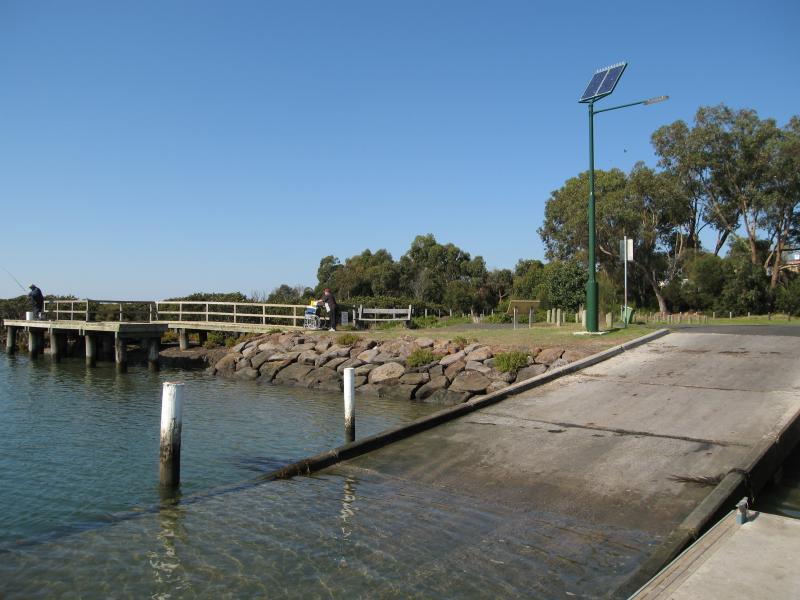
 Barwon River along River Parade - View west along river from boat ramp at eastern end of River Pde
 Barwon River along River Parade - View west along pathway between the two jetties
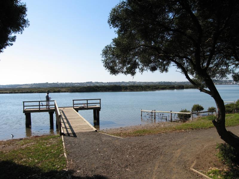 Barwon River along River Parade - Jetty near Minah St
 Barwon River along River Parade - View east along river from jetty near Minah St
 Barwon River along River Parade - View east along river at Sheepwash Rd
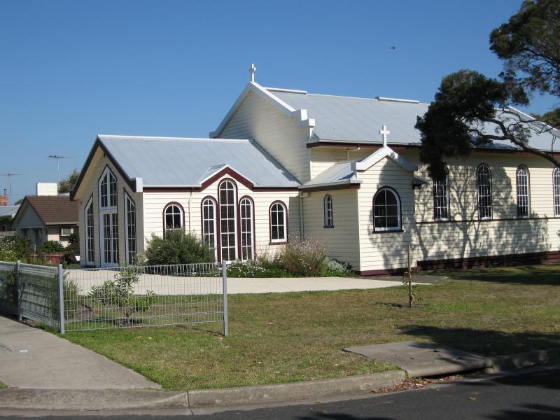 Around Barwon Heads - Catholic Church, corner Hitchcock Av and Thorn St
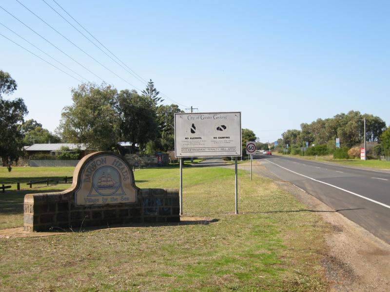 Around Barwon Heads - Barwon Heads town sign, view east along Barwon Heads Rd towards Cottesloe Dr
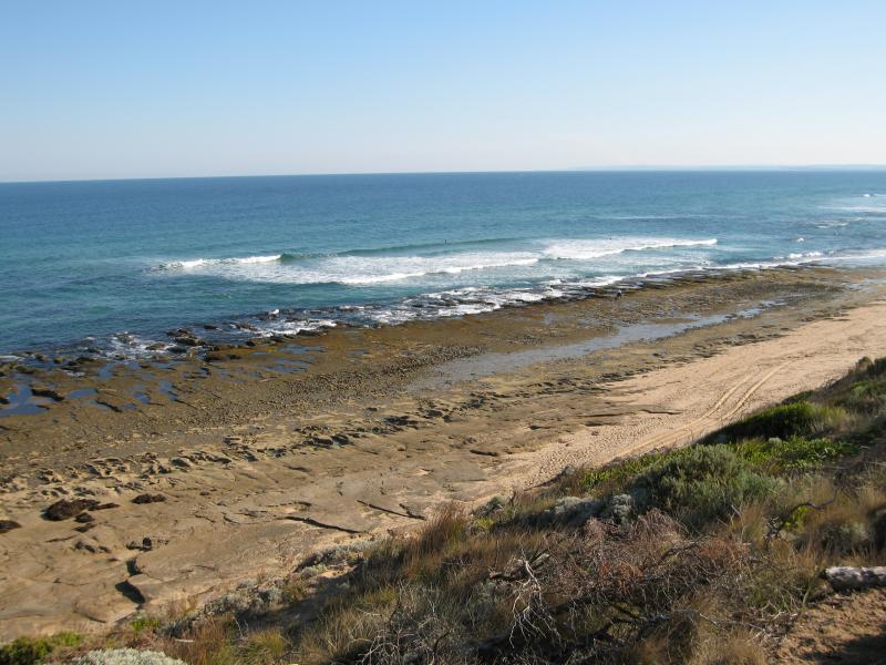
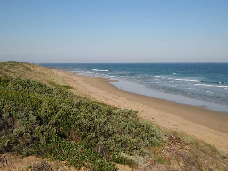
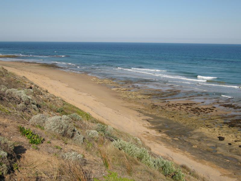 Thirteenth Beach fronting Bass Strait - View east along coast near 'The Hole'
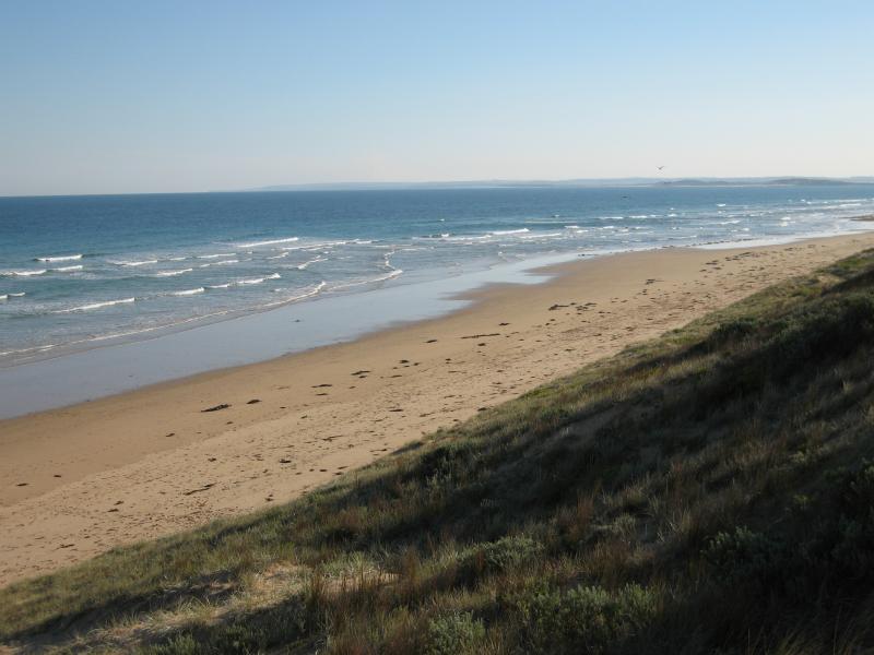
 Thirteenth Beach fronting Bass Strait - View west along coast near 'The Hole'
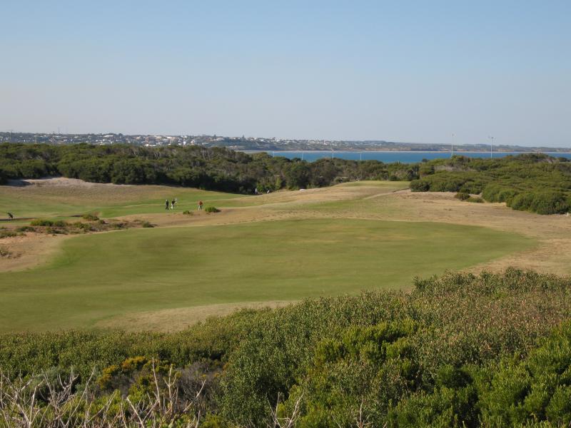 Thirteenth Beach fronting Bass Strait - View north-east towards Barwon Heads Golf Club from near 'The Hole'
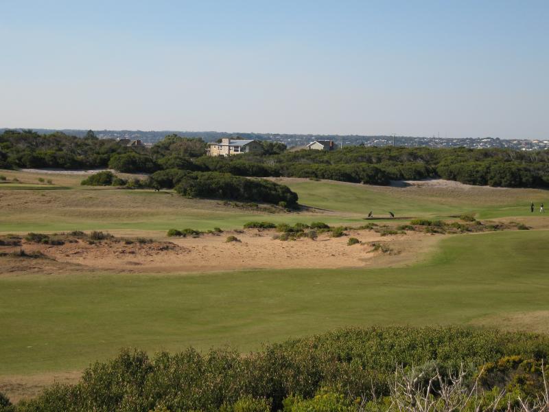 Thirteenth Beach fronting Bass Strait - View north through Barwon Heads Golf Club from near 'The Hole'
 Thirteenth Beach fronting Bass Strait - View west along foreshore at the 'Cylinders'
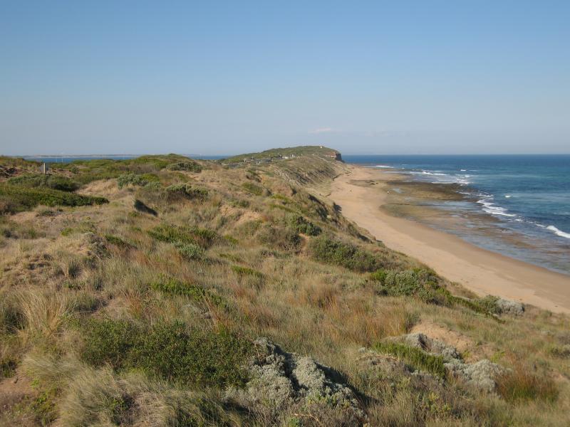 Thirteenth Beach fronting Bass Strait - View east along coast towards The Bluff from the 'Cylinders'
 Thirteenth Beach fronting Bass Strait - View east along beach from the 'Beacon'
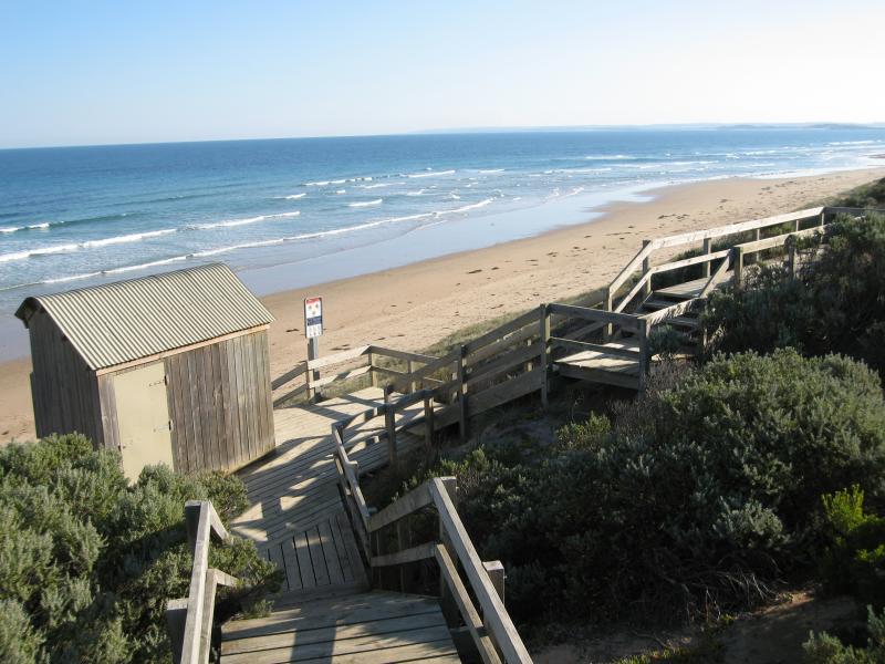
 Thirteenth Beach fronting Bass Strait - Steps down to beach at the 'Beacon'
 Thirteenth Beach fronting Bass Strait - Viewing platform at the 'Beacon', view east along 13th Beach Rd and coast
 Thirteenth Beach fronting Bass Strait - View west along beach at 33W access marker
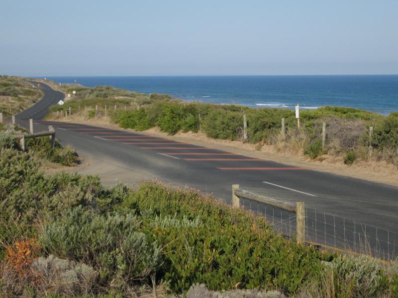
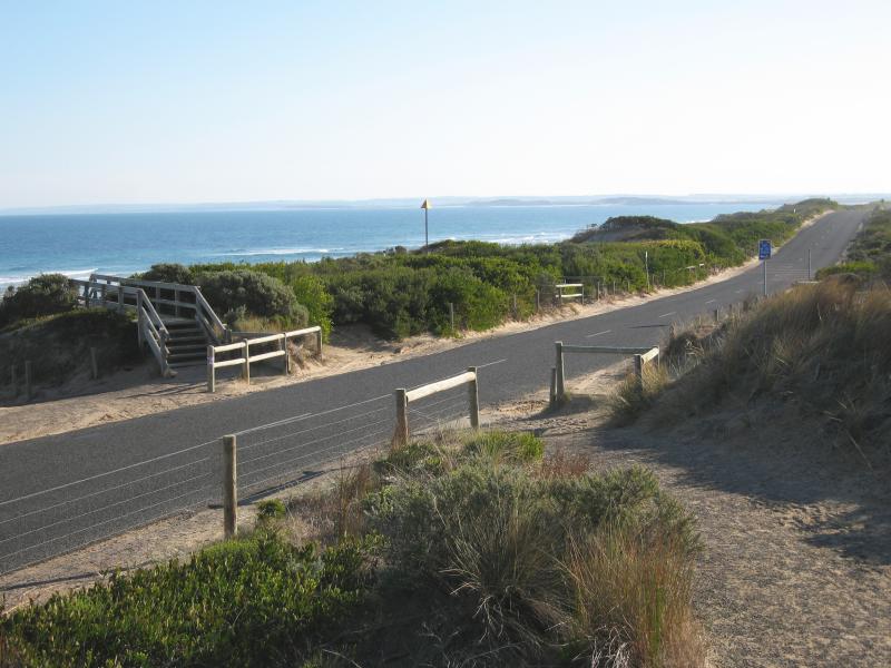
 Thirteenth Beach fronting Bass Strait - View east along 13th Beach Rd and coast at 33W access marker
 Thirteenth Beach fronting Bass Strait - View east along beach at 33W access marker
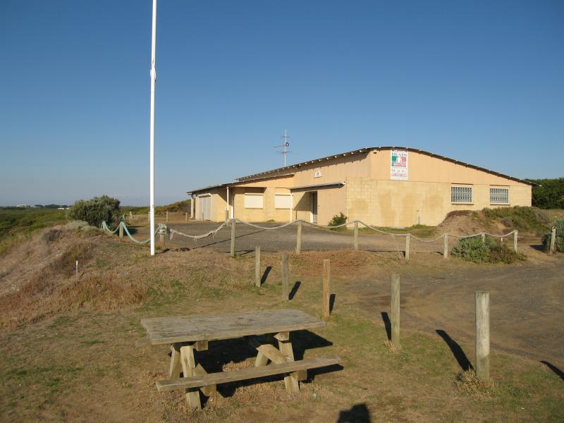 Thirteenth Beach fronting Bass Strait - Barwon Heads 13th Beach Surf Life Saving Club (SLSC)
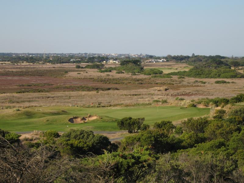 Thirteenth Beach fronting Bass Strait - View north through 13th Beach Golf Links from SLSC
 Thirteenth Beach fronting Bass Strait - View east along 13th Beach Rd at SLSC
 Thirteenth Beach fronting Bass Strait - View west along 13th Beach Rd at SLSC
 Thirteenth Beach fronting Bass Strait - Steps down to beach at SLSC
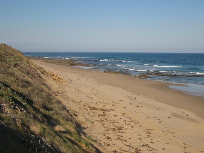
 Thirteenth Beach fronting Bass Strait - View east along beach at SLSC
 Thirteenth Beach fronting Bass Strait - View west along beach at SLSC
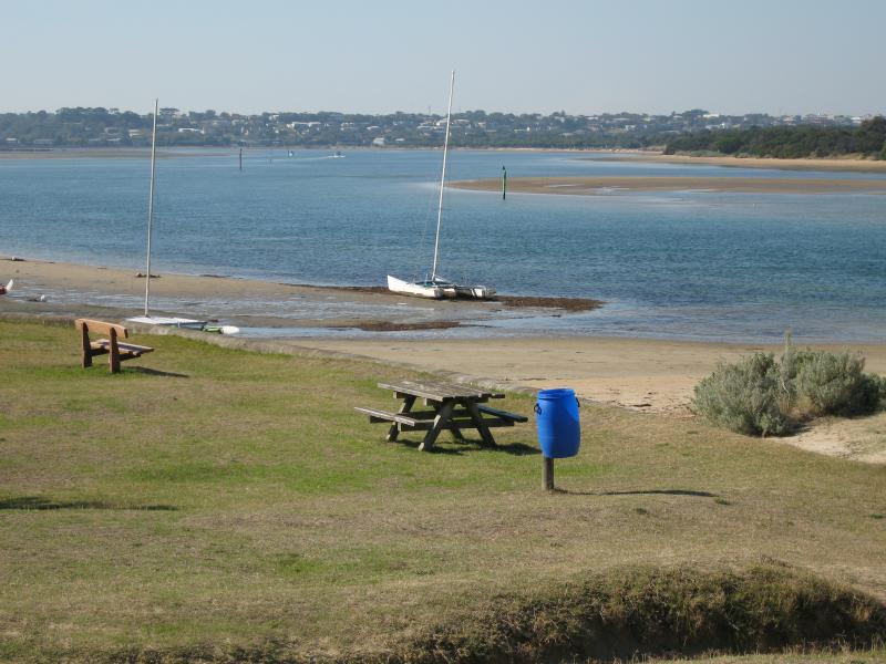
 Lake Connewarre at Tait Point, Staceys Road - Picnic area beside lake
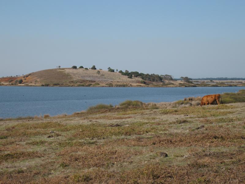 Lake Connewarre at Tait Point, Staceys Road - View east across lake