Benalla - photos
Benalla
Stay
See and do
Food and drink
Shopping
Getting around
Visitor information
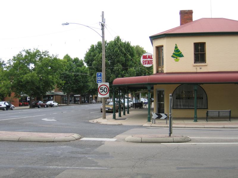
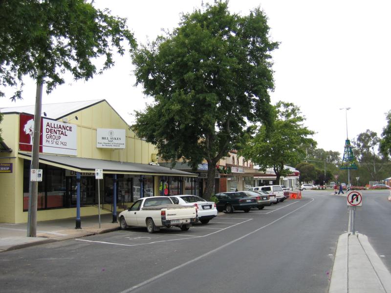
 Commercial centre and shops - Visitor Information Centre, Mair St
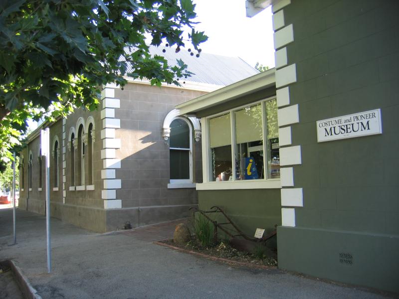
 Commercial centre and shops - Costume and Pioneer Museum, Mair St
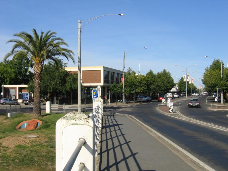 Commercial centre and shops - View east along Bridge St into commercial centre of Benalla from bridge across Lake Benalla
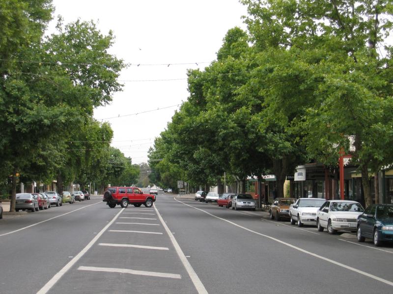
 Commercial centre and shops - View east along Bridge St at Mair St
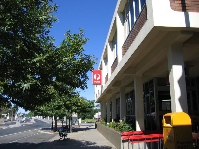 Commercial centre and shops - Post Office, corner Bridge St and Mair St
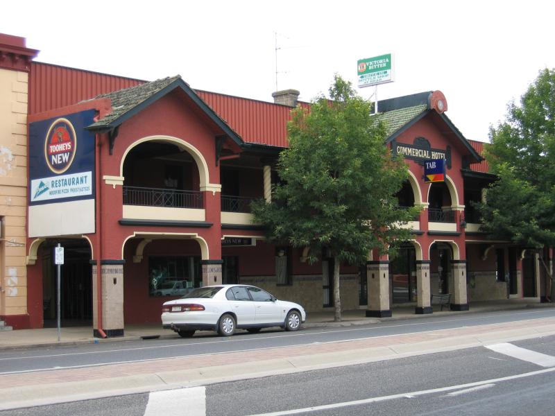 Commercial centre and shops - Commercial Hotel, Bridge St at Mair St
 Commercial centre and shops - View west along Bridge St at Nunn St
 Commercial centre and shops - View north along Nunn St towards Bridge St
 Commercial centre and shops - View east along Bridge St at Nunn St
 Commercial centre and shops - View north along Nunn St between Bridge St and Church St
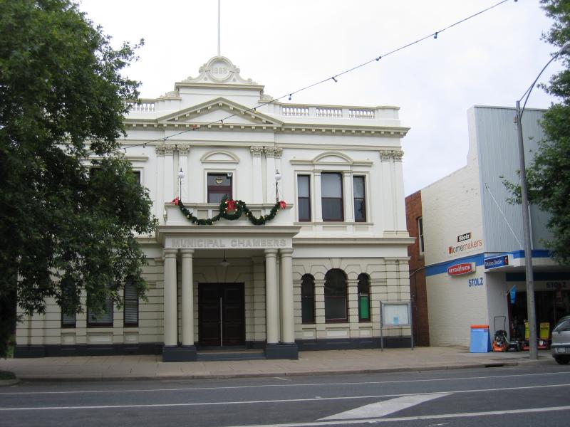 Commercial centre and shops - Municipal Chambers, Nunn St between Bridge St and Church St
 Commercial centre and shops - View north along tree-lined Nunn St between Bridge St and Church St
 Commercial centre and shops - View south along Nunn St at Church St
 Commercial centre and shops - View west along Bridge St between Nunn St and Carrier St
 Commercial centre and shops - View east along Bridge St between Nunn St and Carrier St
 Commercial centre and shops - View west along Bridge St between Nunn St and Carrier St
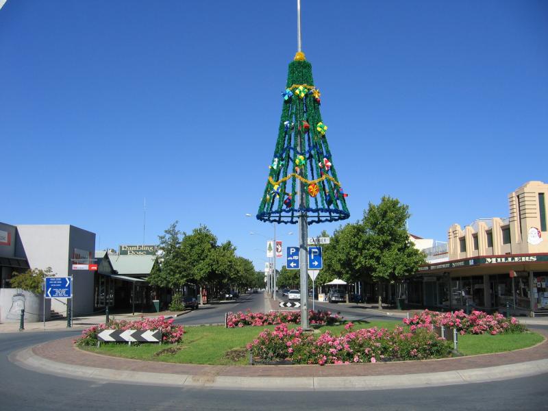
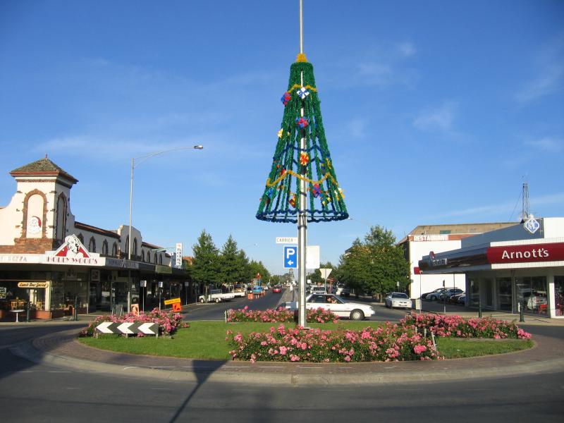
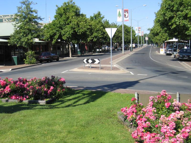 Commercial centre and shops - View west along Bridge St at Carrier St
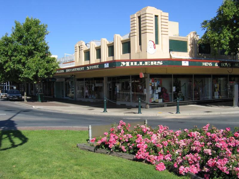 Commercial centre and shops - Millers Department Store, corner Bridge St and Carrier St
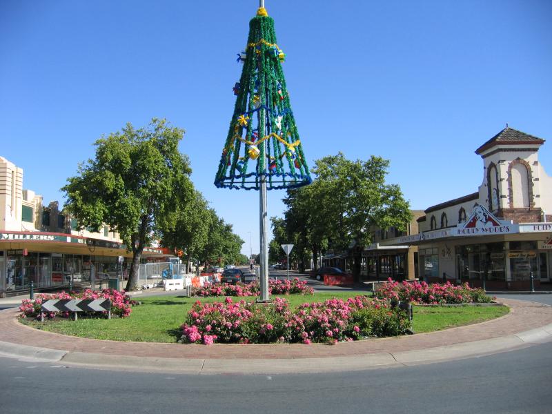
 Commercial centre and shops - View west along Bridge St at Carrier St
 Commercial centre and shops - View north along Carrier St at Bridge St
 Commercial centre and shops - View east along Bridge St at Carrier St
 Commercial centre and shops - View south along Carrier St between Church St and Bridge St
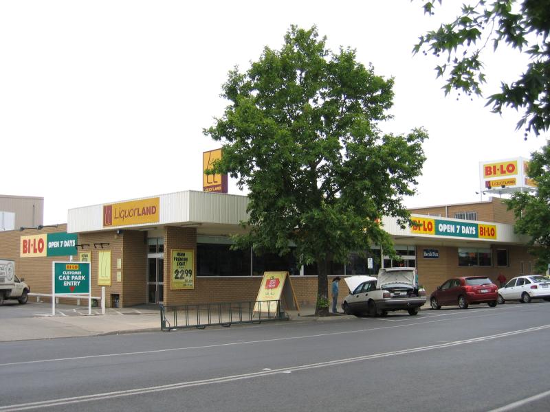 Commercial centre and shops - Bi-Lo supermarket, Carrier St between Church St and Bridge St
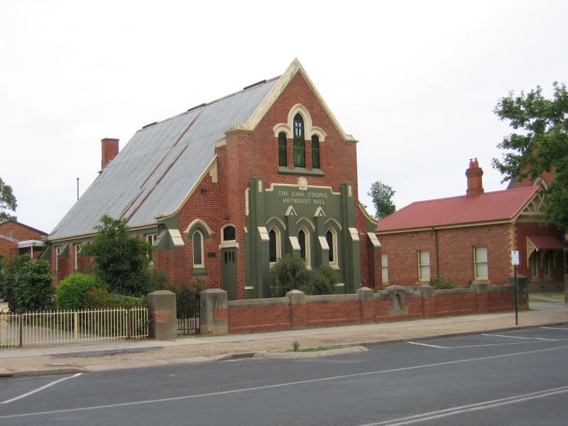 Commercial centre and shops - Methodist Hall, Carrier St between Church St and Bridge St
 Commercial centre and shops - Uniting Church, corner Carrier St and Church St
 Commercial centre and shops - View south along Carrier St at Church St
 Commercial centre and shops - View west along Bridge St at Riley Av
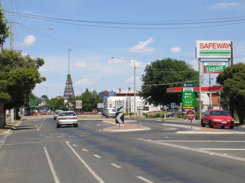
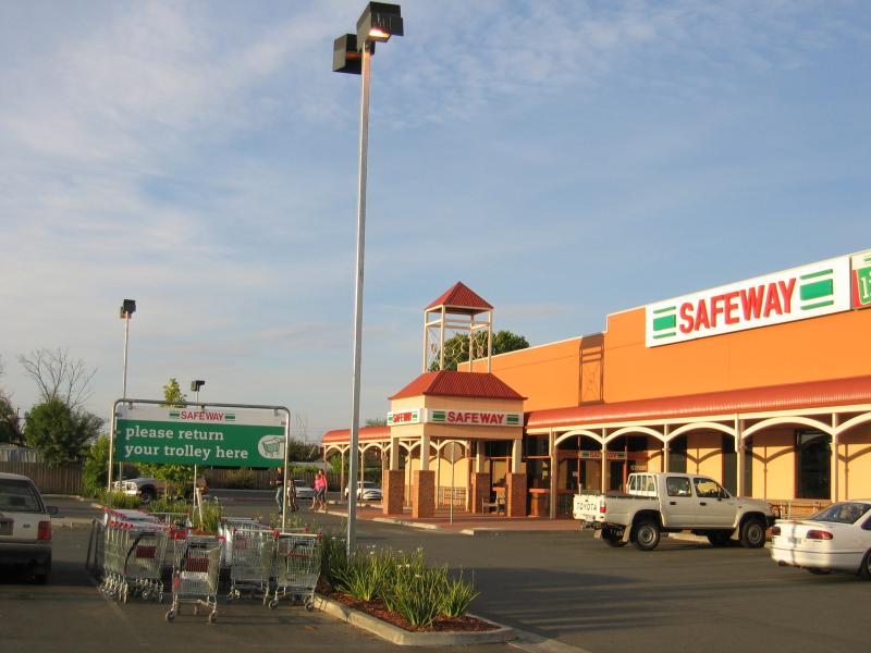 Commercial centre and shops - Safeway Supermarket, off Bridge St east of Smythe St
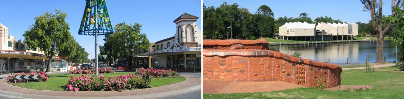
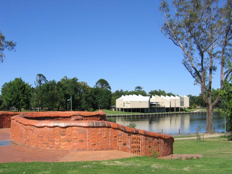
 Lake Benalla, around Bridge Street - Ceramic Mural, corner Mair St and Bridge St, view west across Lake Benalla
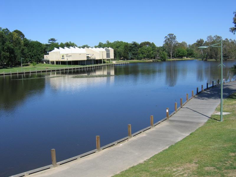
 Lake Benalla, around Bridge Street - View from Ceramic Mural, west across Lake Benalla towards Art Gallery
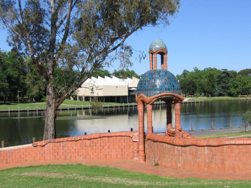 Lake Benalla, around Bridge Street - View from Ceramic Mural, west across Lake Benalla towards Art Gallery
 Lake Benalla, around Bridge Street - View north-west along Lake Benalla from Bridge St towards Ceramic Mural and Museum
 Lake Benalla, around Bridge Street - View west along Bridge St across Lake Benalla
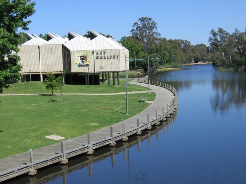
 Lake Benalla, around Bridge Street - View west across Lake Benalla towards Art Gallery
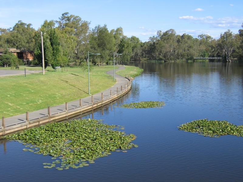
 Lake Benalla, around Bridge Street - View north along Lake Benalla towards Art Gallery
 Lake Benalla, around Bridge Street - View north-west along Lake Benalla near Ceramic Mural
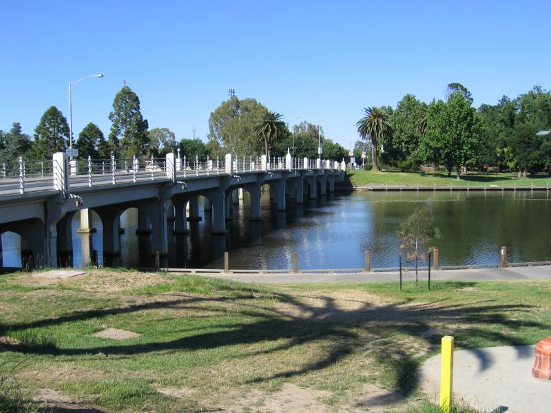
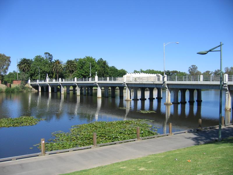
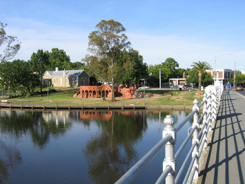 Lake Benalla, around Bridge Street - View east across bridge and Lake Benalla towards Ceramic Mural
 Lake Benalla, around Bridge Street - View east across bridge
 Lake Benalla, around Bridge Street - View north along lake from bridge
 Lake Benalla, around Bridge Street - View west across lake from bridge
 Lake Benalla, around Bridge Street - View west across bridge towards Botanic Gardens
 Lake Benalla, around Bridge Street - View north along lake towards Art Gallery
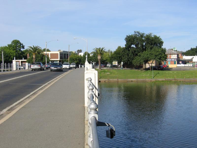
 Lake Benalla, around Bridge Street - View east along Bridge St towards bridge across Lake Benalla
 Lake Benalla, around Bridge Street - View east across lake towards Ceramic Mural from Art Gallery
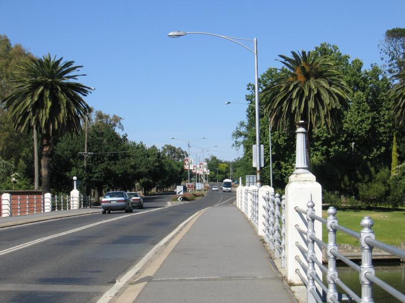
 Lake Benalla, around Bridge Street - View west towards bridge from Bridge St at Mair St
 Lake Benalla, around Bridge Street - View south-east along lake near Council Offices from bridge
 Lake Benalla, around Bridge Street - View west across lake and bridge
 Botanical Gardens, Bridge Street West - View west along Bridge St at entrance to Botanic Gardens
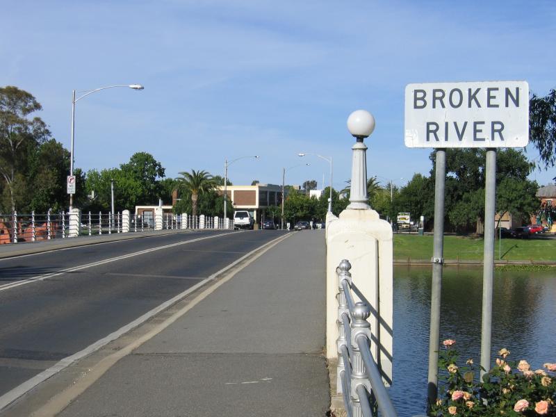
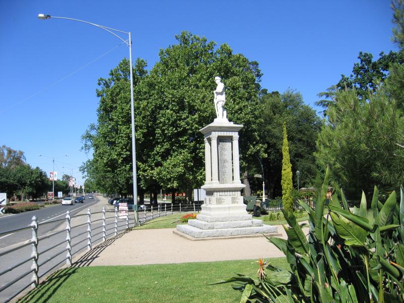 Botanical Gardens, Bridge Street West - War memorial, just west of bridge
 Botanical Gardens, Bridge Street West - War memorial
 Botanical Gardens, Bridge Street West - View across gardens towards entrance
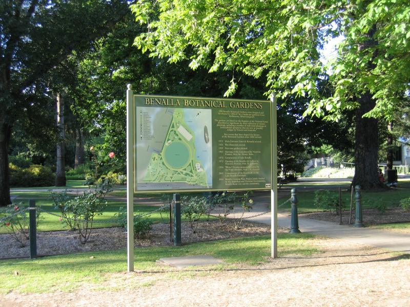 Botanical Gardens, Bridge Street West - Botanic Gardens sign and map
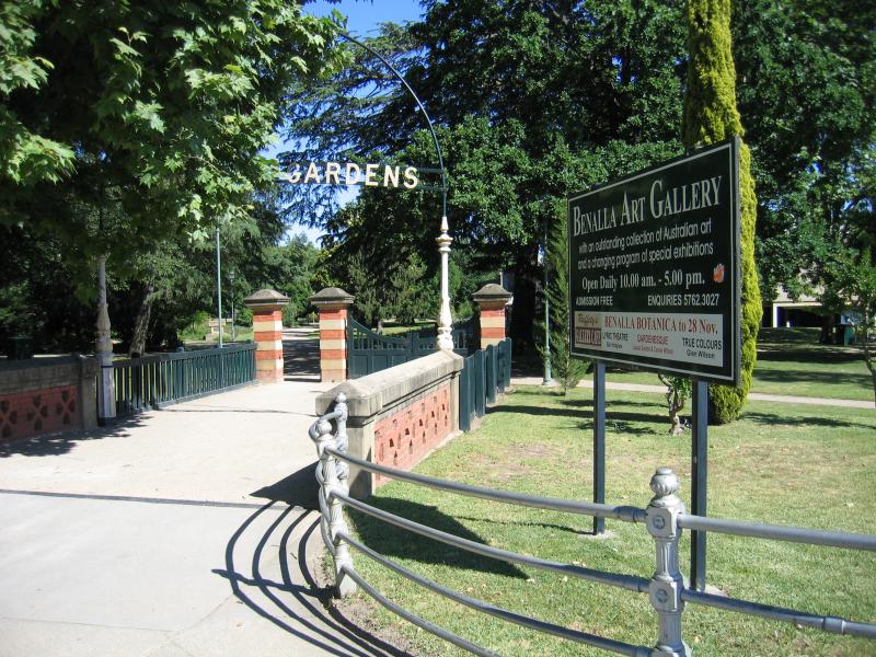 Botanical Gardens, Bridge Street West - Entrance to gardens
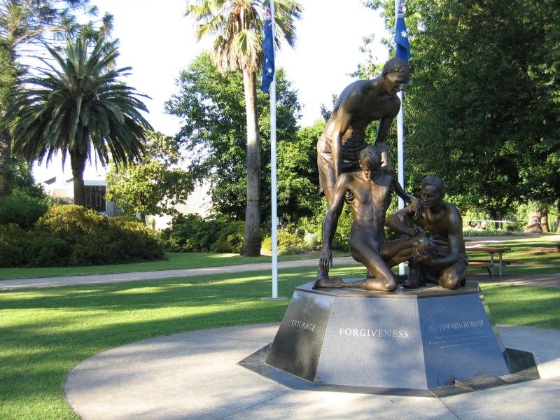 Botanical Gardens, Bridge Street West - Weary Dunlop memorial
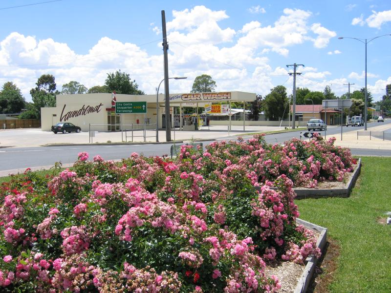
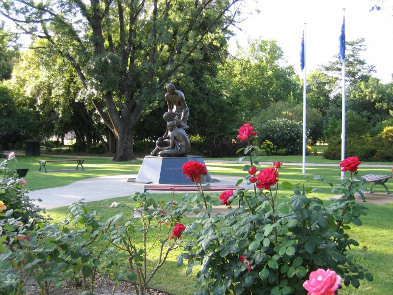 Botanical Gardens, Bridge Street West - Roses with Weary Dunlop memorial in background
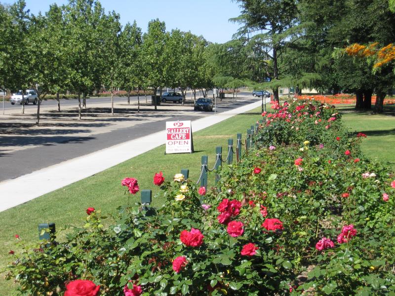 Botanical Gardens, Bridge Street West - Rose gardens, view south-west along Bridge St
 Botanical Gardens, Bridge Street West - Rose gardens
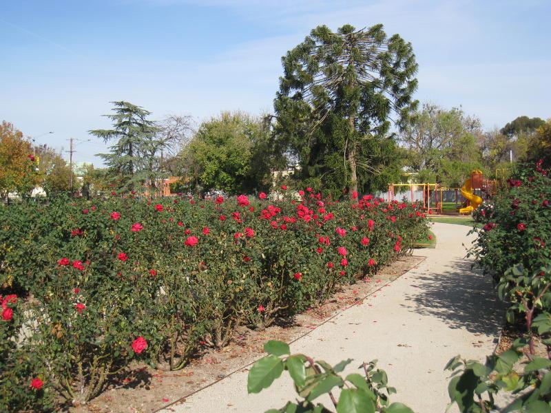 Botanical Gardens, Bridge Street West - Rose gardens
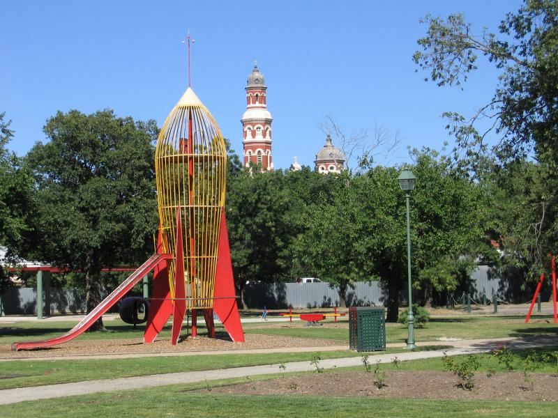 Botanical Gardens, Bridge Street West - Playground
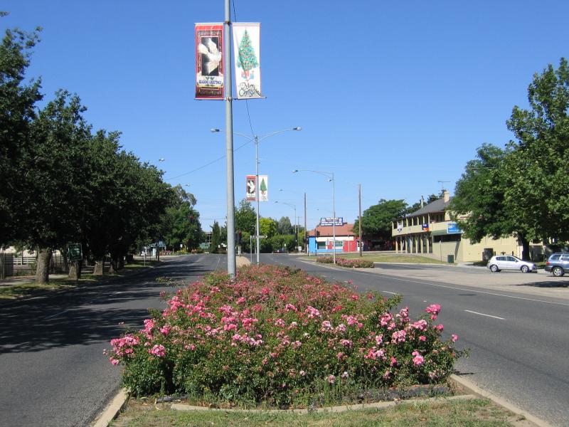 Botanical Gardens, Bridge Street West - View south-west along Bridge St towards Arundel St
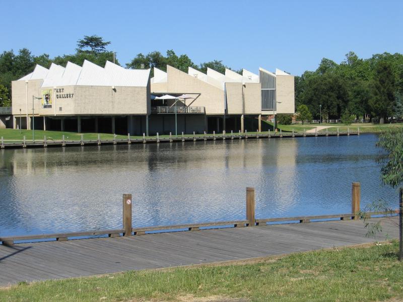
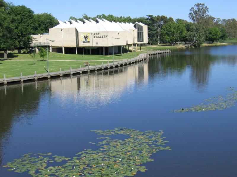
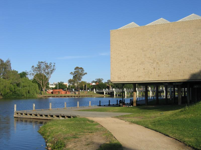
 Botanical Gardens, Bridge Street West - Art Gallery
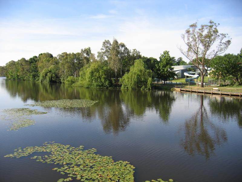
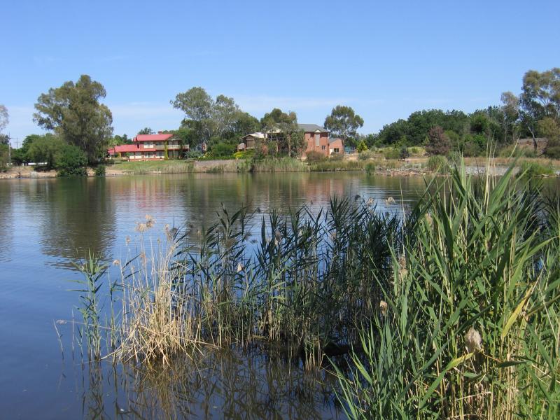
 Botanical Gardens, Bridge Street West - View north-west along Lake Benalla towards Art Gallery
 Botanical Gardens, Bridge Street West - View south-west along Lake Benalla towards Art Gallery
 Botanical Gardens, Bridge Street West - View north along Lake Benalla at Art Gallery
 Botanical Gardens, Bridge Street West - Gardens
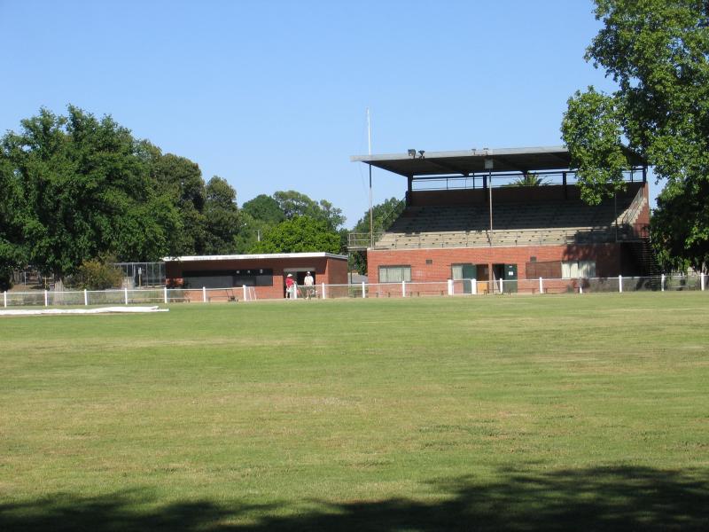 Botanical Gardens, Bridge Street West - The Oval
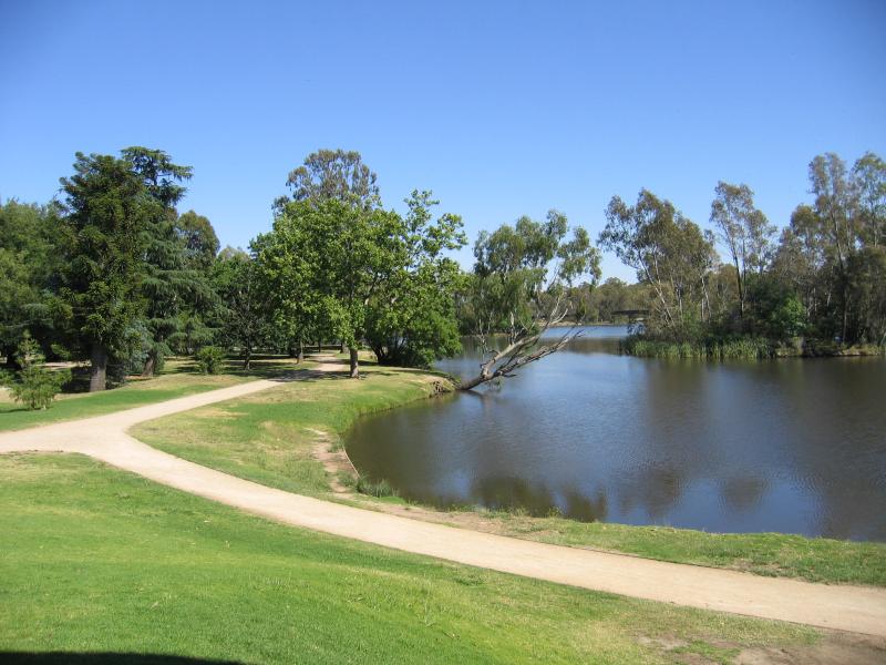
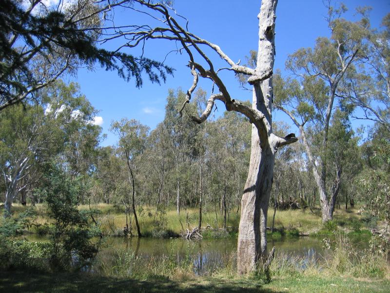
 Weir on Broken River, north end of Lake Benalla - Moira Reserve, view west across Lake Benalla
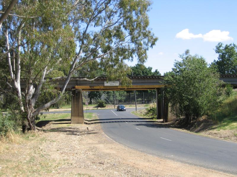 Weir on Broken River, north end of Lake Benalla - View north under railway bridge at Moira Reserve
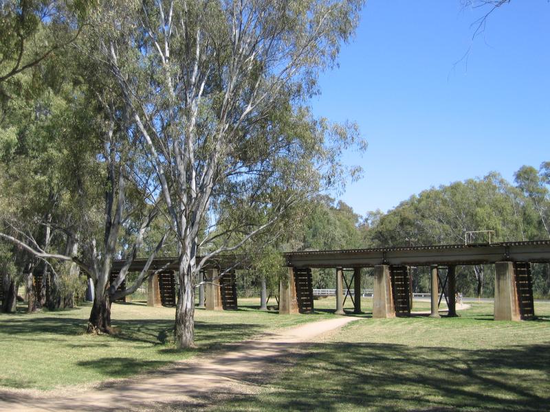 Weir on Broken River, north end of Lake Benalla - Railway bridge through northern end of Moira Reserve
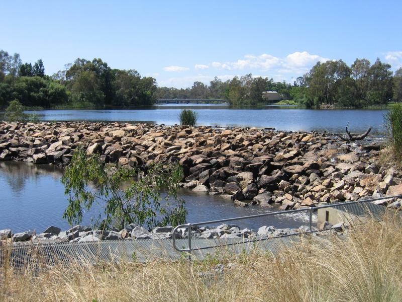
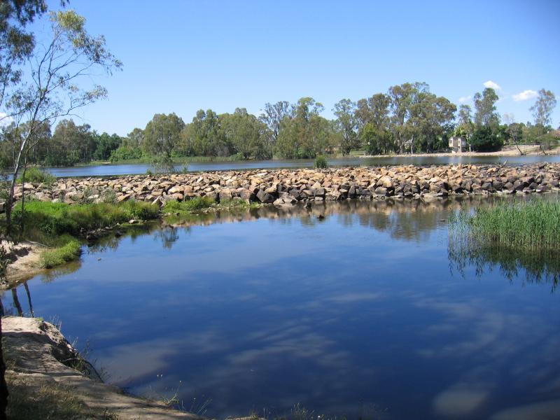 Weir on Broken River, north end of Lake Benalla - View west across weir from Moira Reserve
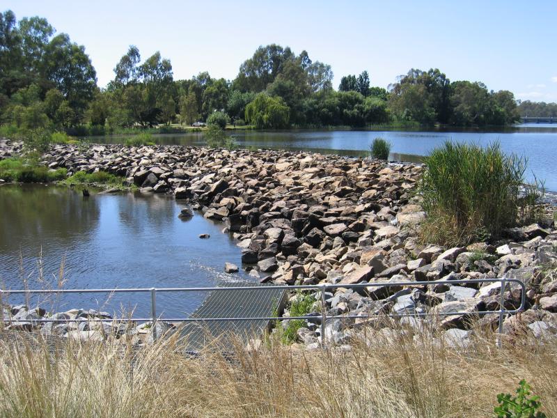
 Weir on Broken River, north end of Lake Benalla - View south along Lake Benalla at weir from western bank
 Weir on Broken River, north end of Lake Benalla - View east across Lake Benalla at weir
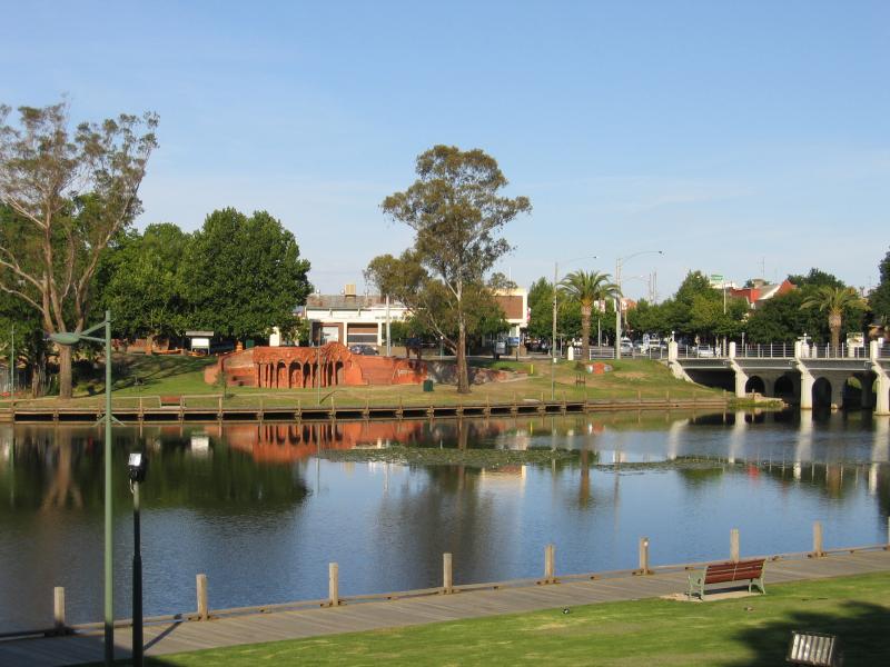
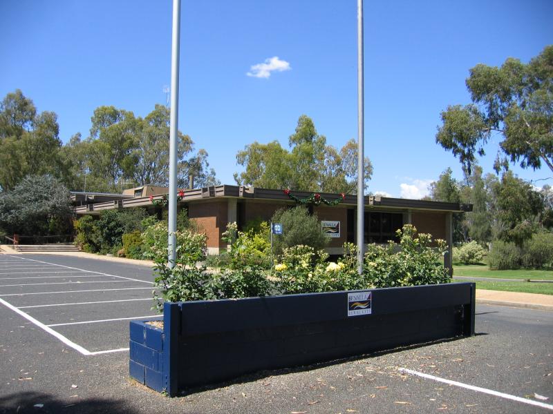 Lake Benalla, southern section around Council Offices and Jaycee Island - Council Offices, Fawkner Dr opposite Nunn St
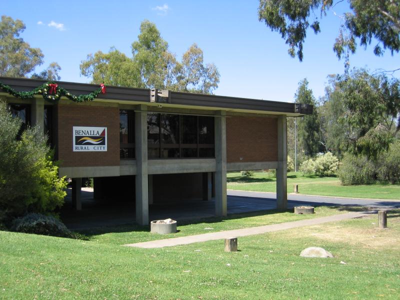 Lake Benalla, southern section around Council Offices and Jaycee Island - Council Offices
 Lake Benalla, southern section around Council Offices and Jaycee Island - View north-west along Lake Benalla from Council Offices
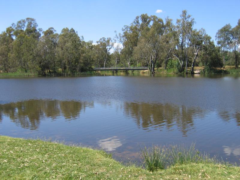 Lake Benalla, southern section around Council Offices and Jaycee Island - View south-east along Lake Benalla from Council Offices
 Lake Benalla, southern section around Council Offices and Jaycee Island - View east along path along Lake Benalla, east of Council Offices
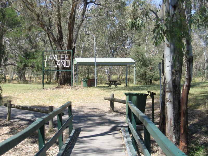
 Lake Benalla, southern section around Council Offices and Jaycee Island - Bridge at Jaycee Island, view north back to Reserve
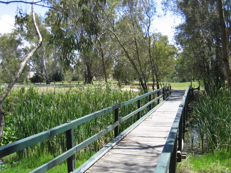
 Lake Benalla, southern section around Council Offices and Jaycee Island - Bridge onto Jaycee Island
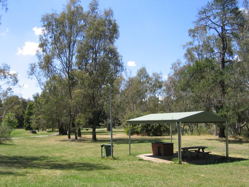 Lake Benalla, southern section around Council Offices and Jaycee Island - BBQ shelter, Jaycee Island
 Lake Benalla, southern section around Council Offices and Jaycee Island - View across lake towards Little Casey Island from Jaycee Island
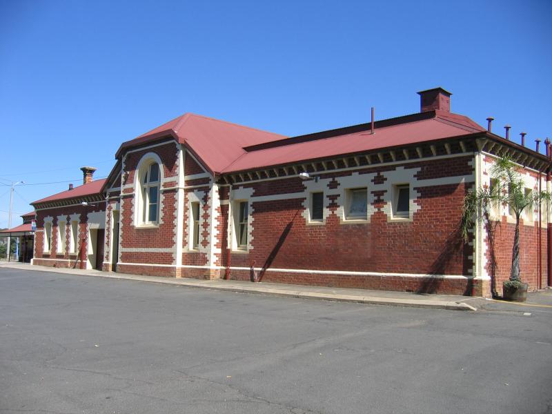 Benalla railway station and surroundings - Benalla railway station, viewed from car park
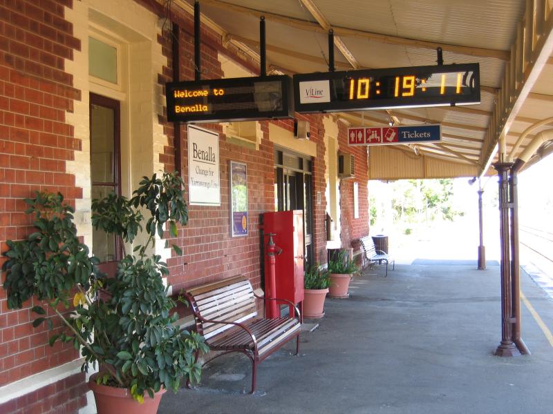 Benalla railway station and surroundings - Platform at station
 Benalla railway station and surroundings - View west along platform at station
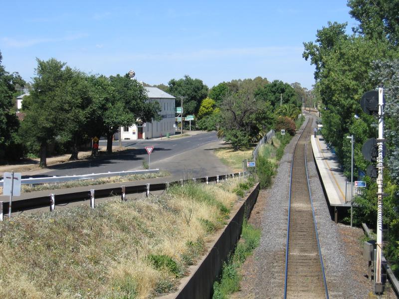 Benalla railway station and surroundings - View west along XPT line from bridge across railway
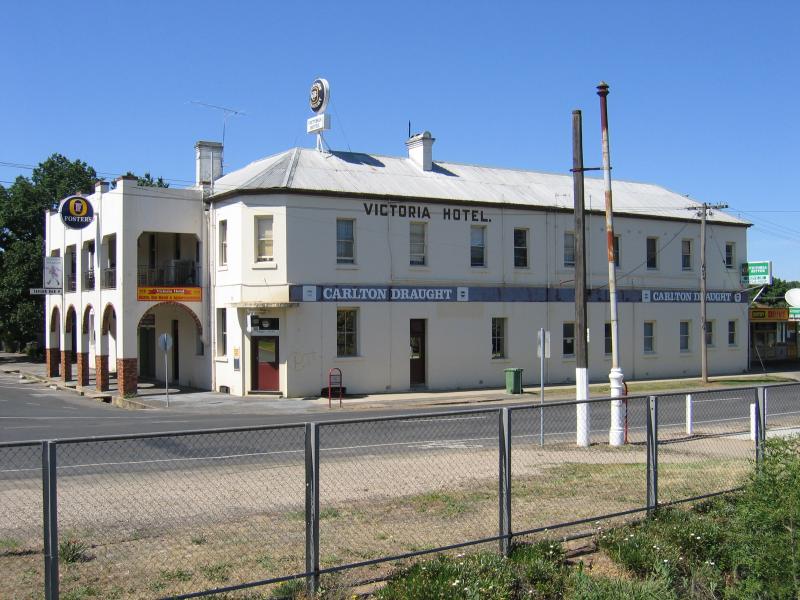 Benalla railway station and surroundings - View of Victoria Hotel from station, at corner of MacKellar St and Carrier St
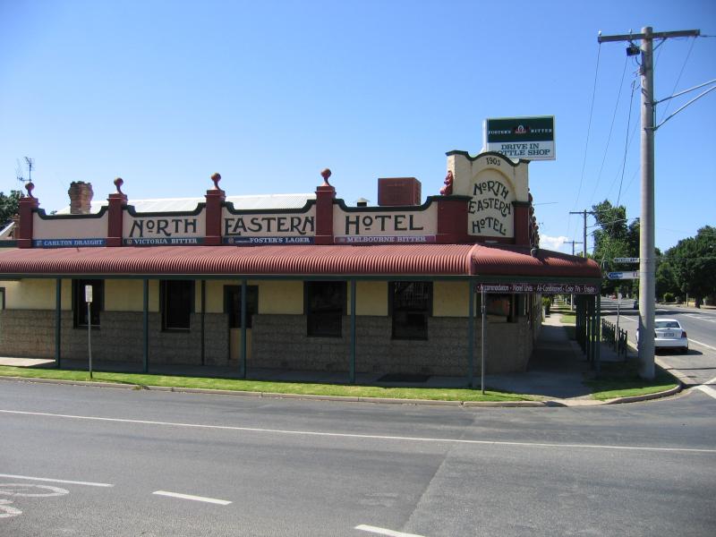 Benalla railway station and surroundings - North Eastern Hotel, corner MacKellar St and Nunn St
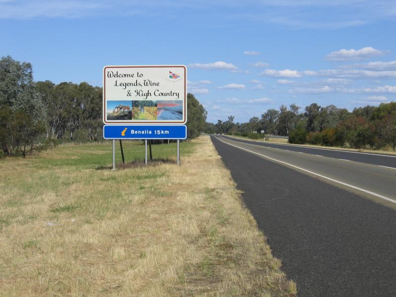 Around Benalla and outskirts - View north-east along Hume Freeway, 15 km from Benalla
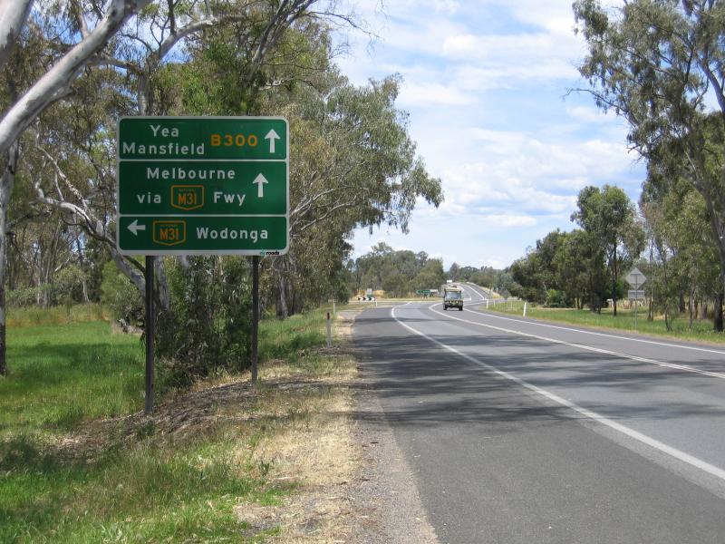
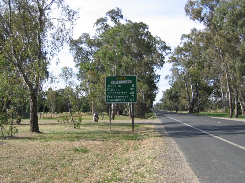 Around Benalla and outskirts - View north along Midland Highway, just north of Hume Freeway
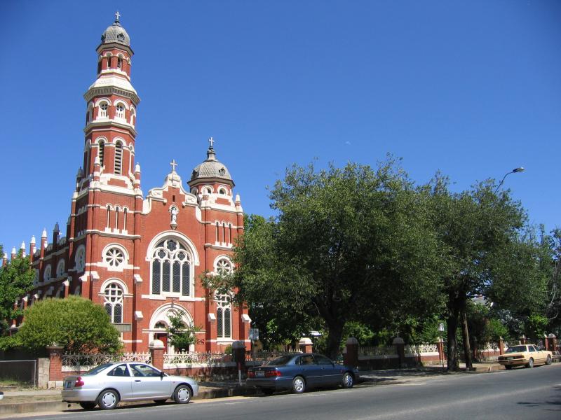 Around Benalla and outskirts - Catholic Church, Arundel St at Wedge St
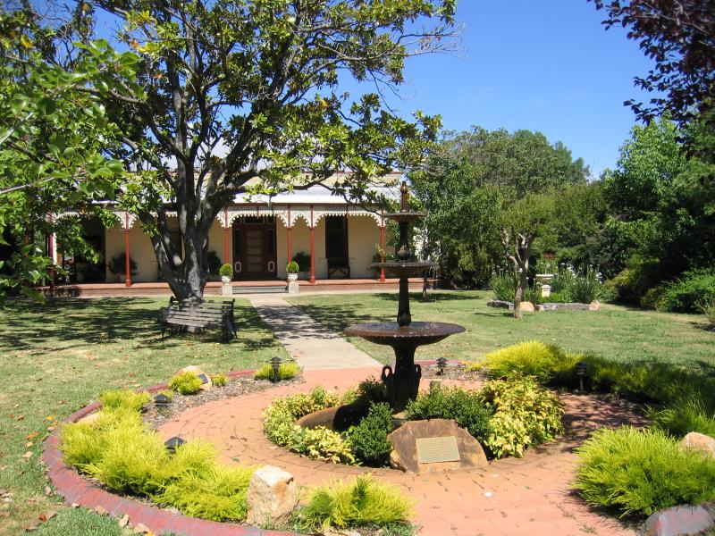 Around Benalla and outskirts - Gardens and house at Catholic Church, Arundel St at Wedge St
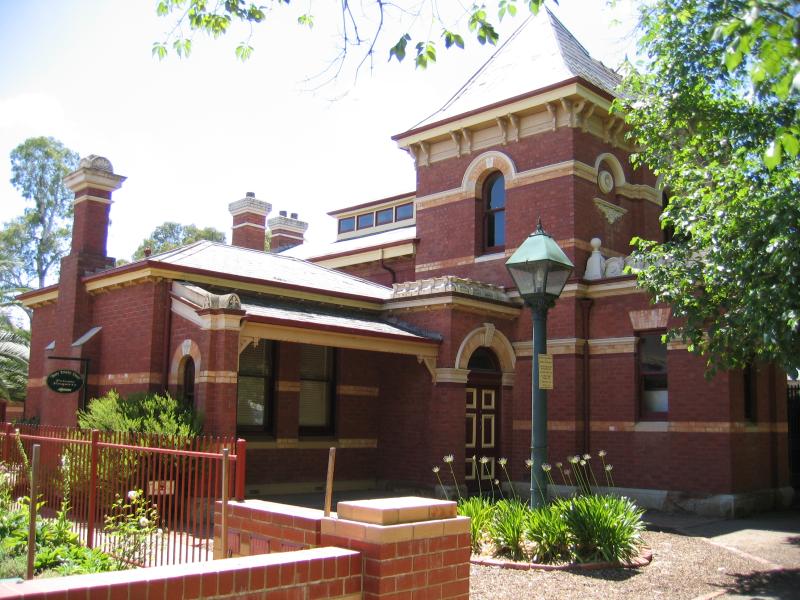
 Around Benalla and outskirts - FJC College, Arundel St at Wedge St
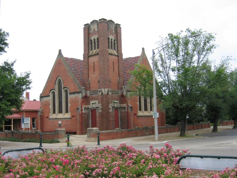
 Around Benalla and outskirts - Anglican Church parish buildings, Arundel St opposite Harrison Av
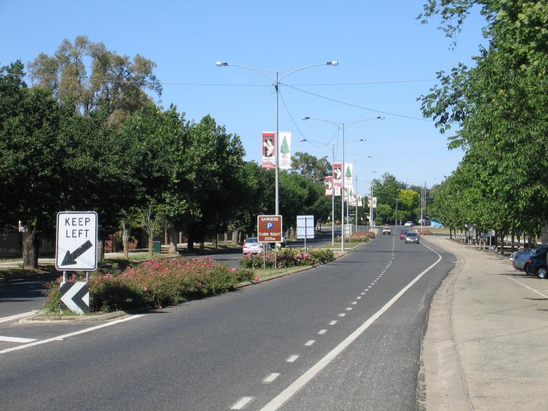
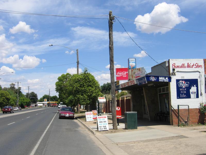 Around Benalla and outskirts - View west along Bridge St between Goomalibee St and Charles St
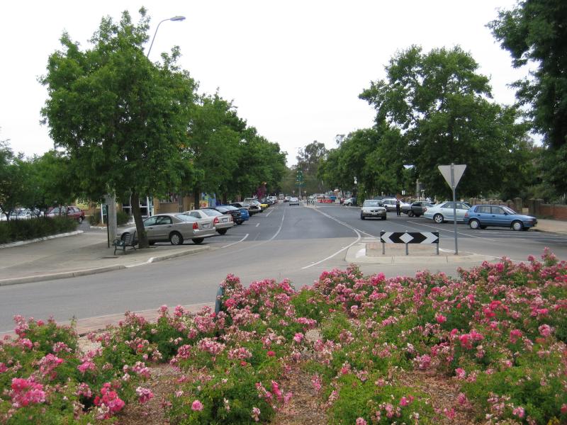
 Around Benalla and outskirts - View east along Bridge St from roundabout at Faithfull St
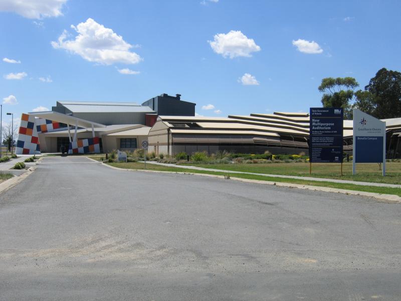 Around Benalla and outskirts - Goulburn Ovens Institute of TAFE, Samaria Rd
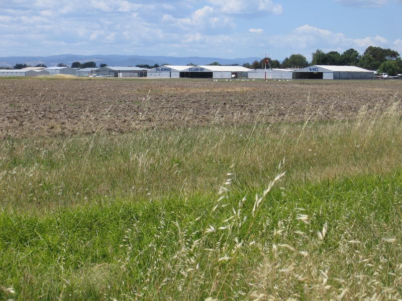 Around Benalla and outskirts - Gliding Club of Victoria, viewed from Samaria Rd
 Around Benalla and outskirts - View south along Midland Highway towards Hume Freeway interchange