Benalla - public transport
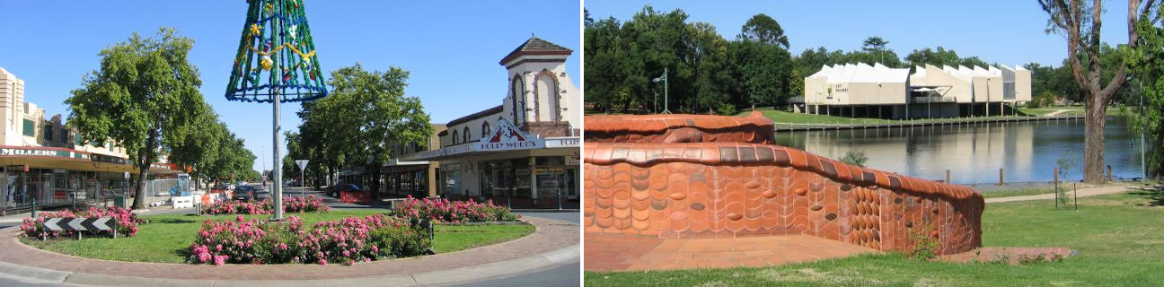
Benalla
Stay
See and do
Food and drink
Shopping
Getting around
Visitor information
Train
Benalla station
| Line | Operator | Timetable and stops | Map |
|---|---|---|---|
| Albury - Wodonga |  |
Albury (NSW) - Melbourne Via Albury (NSW), Wodonga, Chiltern, Springhurst, Wangaratta, Benalla, Violet Town, Euroa, Avenel, Seymour, Broadmeadows, Essendon, North Melbourne, Southern Cross |
|
| Southern XPT |  |
Melbourne to Sydney Via Southern Cross, Broadmeadows, Seymour, Benalla, Wangaratta, Albury (NSW), Culcairn (NSW), Henty (NSW), The Rock (NSW), Wagga Wagga (NSW), Junee (NSW), Cootamundra(NSW), Harden (NSW), Yass Junction (NSW), Gunning (NSW), Goulburn (NSW), Moss Vale (NSW), Campbelltown (NSW), Sydney (NSW) |
Bus
| Route | Operator | Timetable | Map |
|---|---|---|---|
| No. 1: Benalla to Benalla West | Benalla Bus Lines | ||
| No. 2: Benalla to Benalla East Via Benalla station |
Benalla Bus Lines | ||
| Bendigo to Wangaratta Via Bendigo station, Elmore, Elmore station, Mooroopna, Shepparton, Shepparton station, Benalla, Benalla station, Wangaratta station |
|
||
| Mulwala (NSW) to Benalla Via Yarrawonga, Benalla station |
|
||
| Albury (NSW) to Adelaide (SA) Via Wodonga, Wodonga station, Wangaratta, Wangaratta station, Benalla, Benalla station, Shepparton, Shepparton station, Mooroopna, Echuca, Echuca station, Gunbower, Cohuna, Kerang, Kerang station, Lake Charm, Lake Boga, Swan Hill, Swan Hill station, Nyah, Piangil, Manangatang, Ouyen, Walpeup, Underbool, Murrayville, Pinnaroo (SA), Tailem Bend (SA), Murray Bridge (SA), Mount Barker (SA) |
|
Taxi
| Operator | Areas covered | Phone |
|---|---|---|
| Benalla Taxis | Benalla | (03) 5762 3333 |