Commercial centre and shops, High Street - Presbyterian Church, corner High St and Hamilton St
Commercial centre and shops, High Street - View south-west along High St at Hamilton St
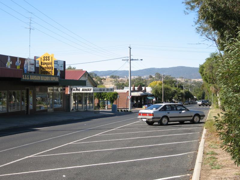
Commercial centre and shops, High Street - View south-east across High St at Hamilton St
Commercial centre and shops, High Street - View north-east along High St at Hamilton St
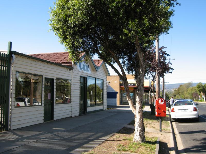
Commercial centre and shops, High Street - View north-east along High St service road east of Hamilton St
Commercial centre and shops, High Street - View south-west along High St service road towards Hamilton St
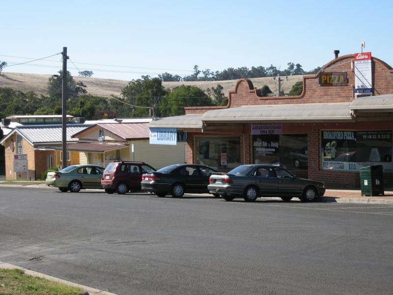
Commercial centre and shops, High Street - View north-east along High St service road between Hamilton St and Powlett St
Commercial centre and shops, High Street - View north-east along High St service road between Hamilton St and Powlett St
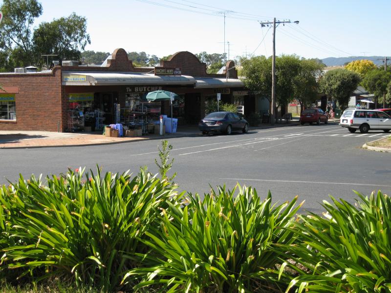
Commercial centre and shops, High Street - View north-east along High St service road towards Powlett St
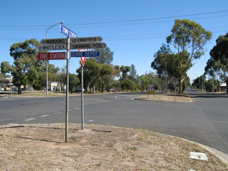
Commercial centre and shops, High Street - View north-west along Powlett St towards Gavan St
Commercial centre and shops, High Street - View north-east along High St service road at Powlett St
Commercial centre and shops, High Street - View south-west along High St towards Powlett St
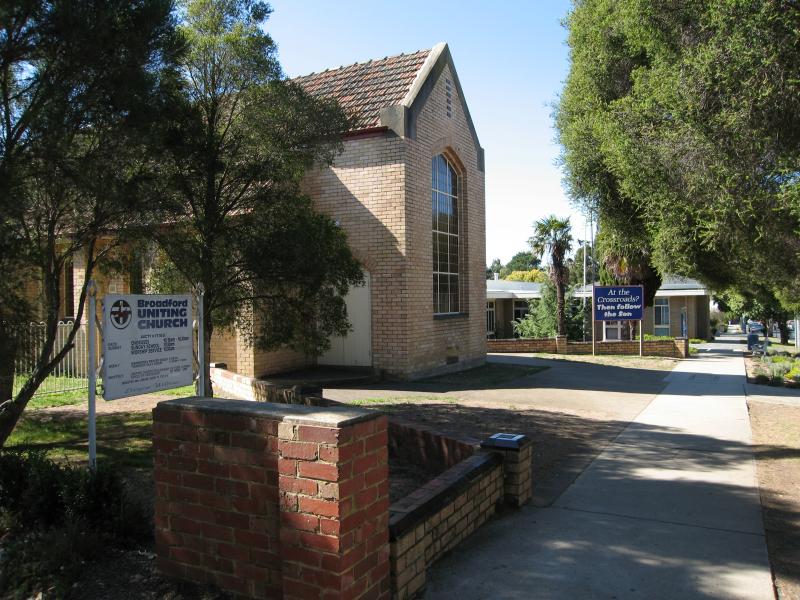
Commercial centre and shops, High Street - Uniting Church, High St between Powlett St and Murchison St
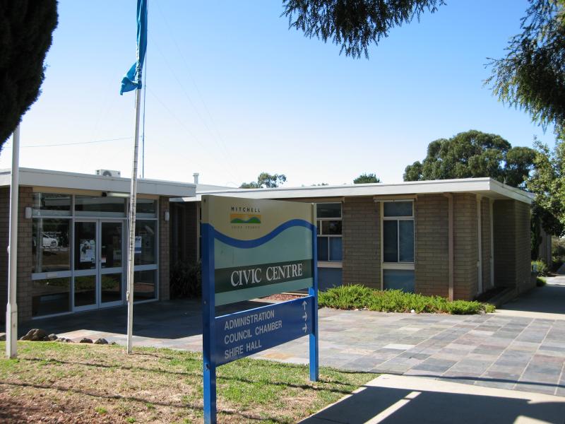
Commercial centre and shops, High Street - Mitchell Shire Civic Centre, corner High St and Murchison St
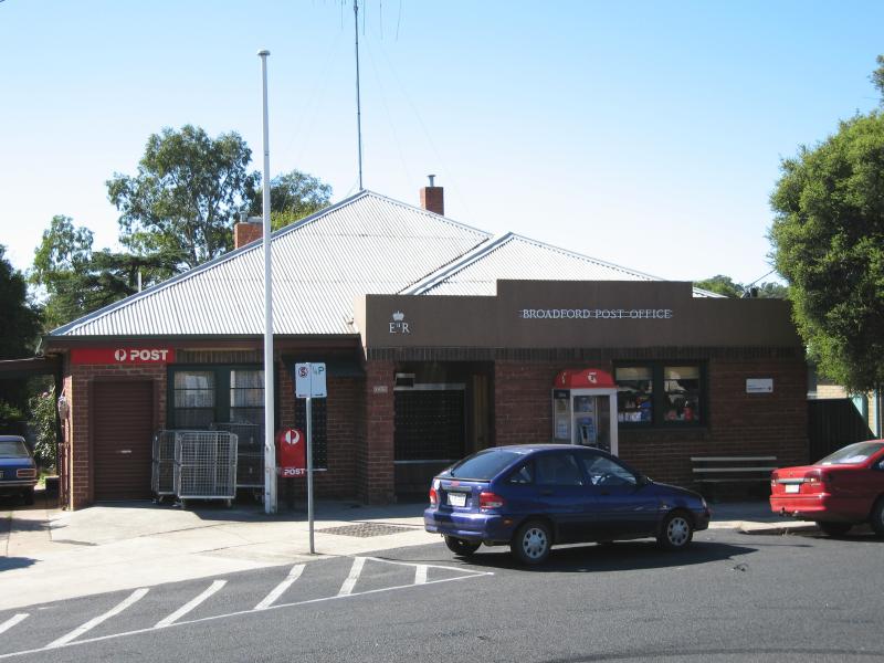
Commercial centre and shops, High Street - Post Office, High St service road
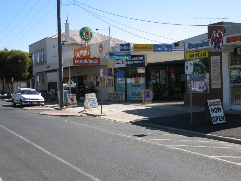
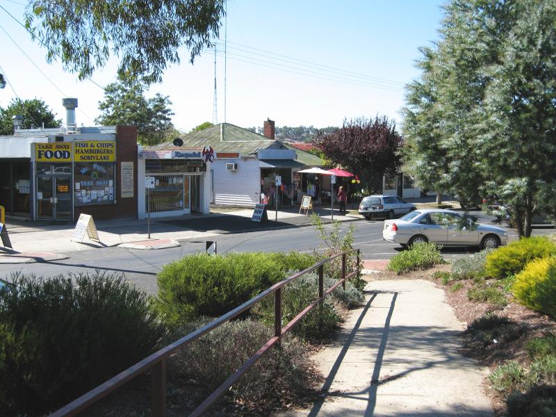
Commercial centre and shops, High Street - View north-east along High St towards Murchison St
Commercial centre and shops, High Street - View north-east along High St at pedestrian crossing
Commercial centre and shops, High Street - Anglican Church, High St
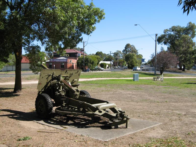
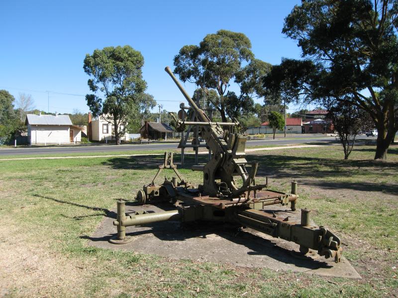
North side of High Street between Murchison Street and Sunday Creek - Old military cannon, view west along High Street from park in front of post office
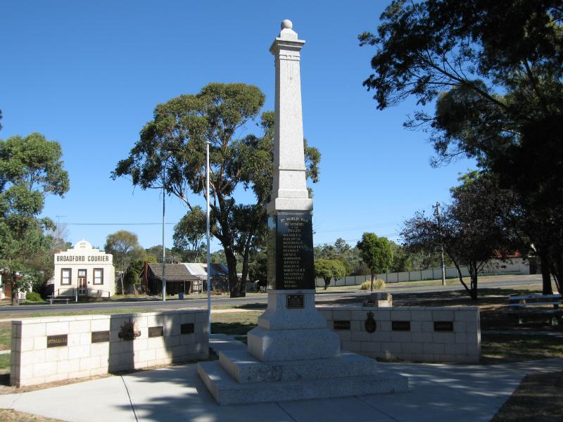
North side of High Street between Murchison Street and Sunday Creek - War memorial, view south across High St
North side of High Street between Murchison Street and Sunday Creek - Old military machine gun at park in front of post office
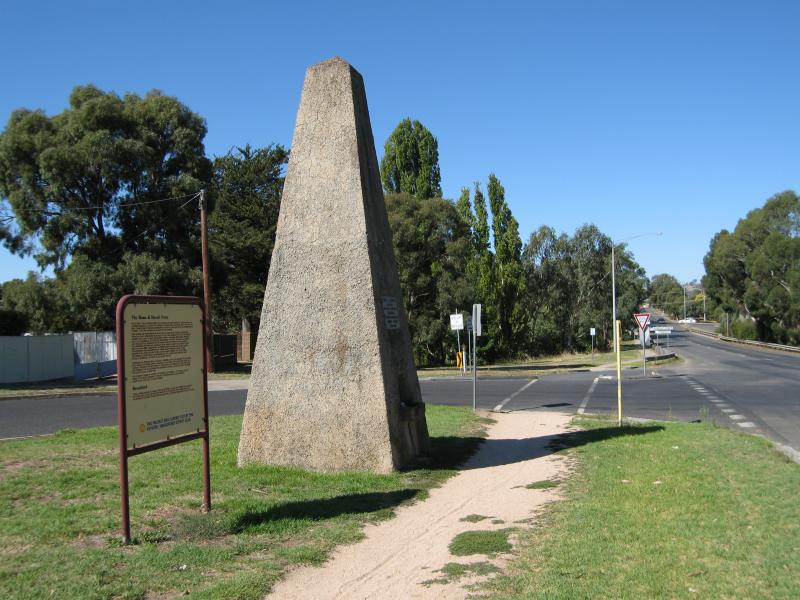
North side of High Street between Murchison Street and Sunday Creek - Hume & Hovell monument, view east along High St towards Sunday Creek
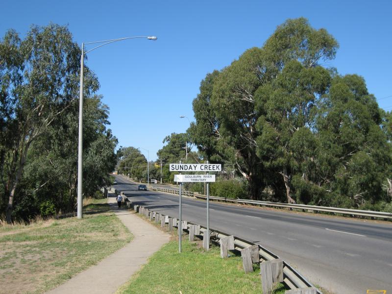
North side of High Street between Murchison Street and Sunday Creek - View east along High St towards Sunday Creek
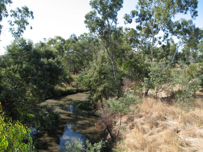
North side of High Street between Murchison Street and Sunday Creek - View north along Sunday Creek from bridge at High St
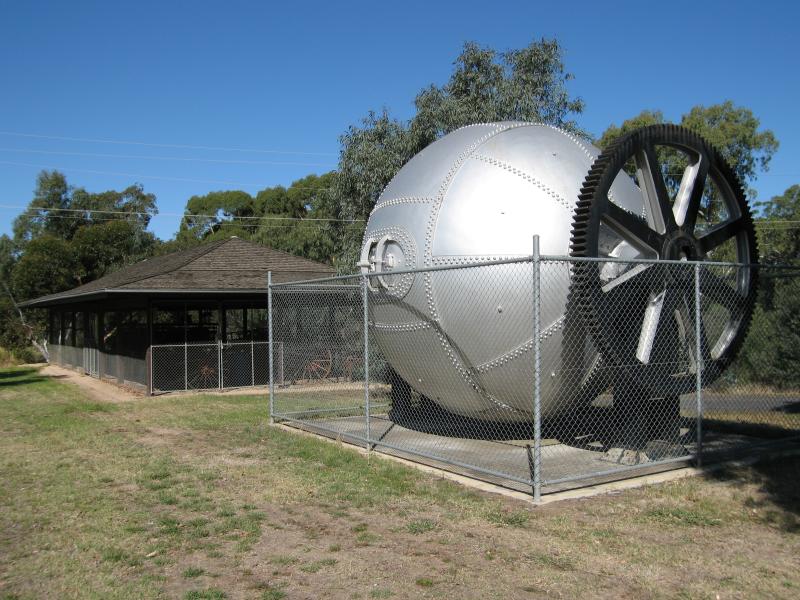
South side of High Street between Murchison Street and Sunday Creek - Old straw boiler and Jennifer R Neill Pavilion
South side of High Street between Murchison Street and Sunday Creek - View north from straw boiler across High St towards Hume & Hovell monument
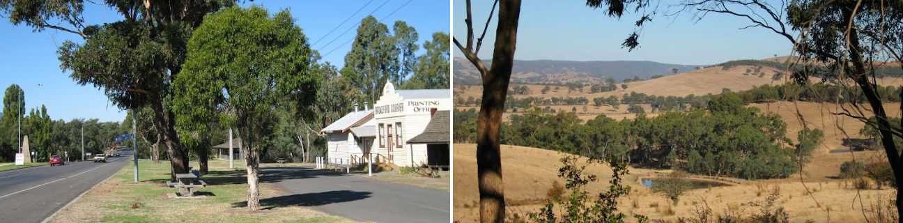
South side of High Street between Murchison Street and Sunday Creek - Old Broadford Courier printing office
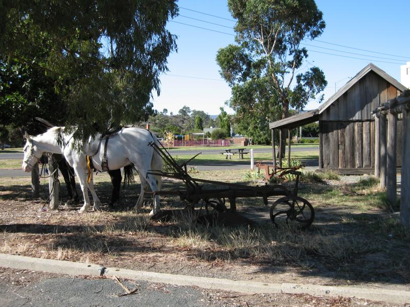
South side of High Street between Murchison Street and Sunday Creek - Pioneer cottages, corner Murchison St and High St
South side of High Street between Murchison Street and Sunday Creek - View east along High St from Murchison St towards Sunday Creek
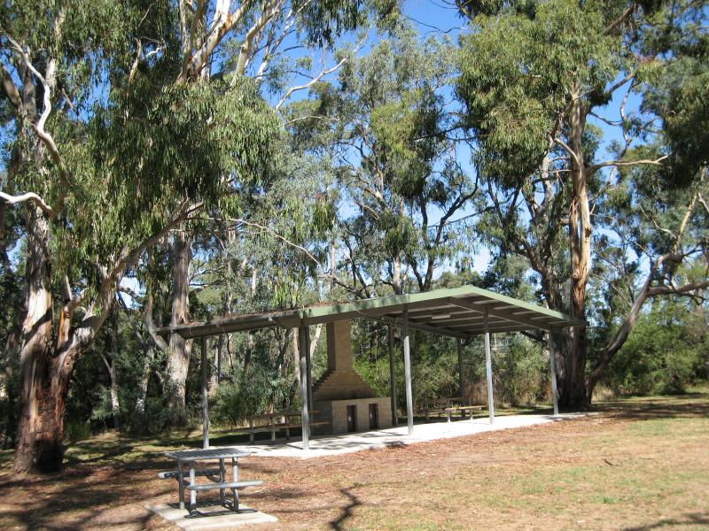
Lions Park, High Street at Sunday Creek - BBQ and picnic shelters, east side of creek
Lions Park, High Street at Sunday Creek - View north along Sunday Creek towards bridge at High St
Lions Park, High Street at Sunday Creek - BBQ shelter, west side of creek
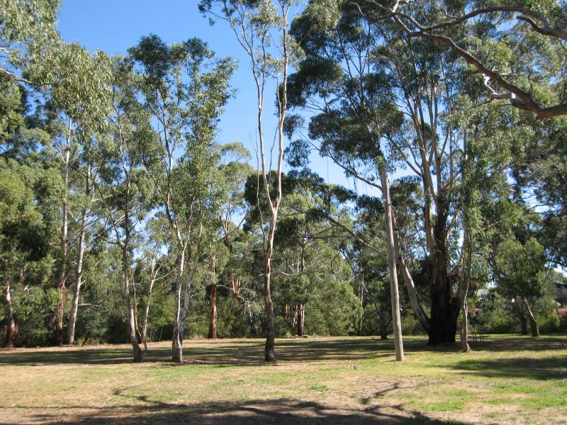
Lions Park, High Street at Sunday Creek - Picnic grounds, west side of creek
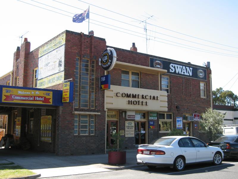
Railway station vicinity - Commercial Hotel, High Street service road opposite railway station
Railway station vicinity - View north-east along High St towards railway station
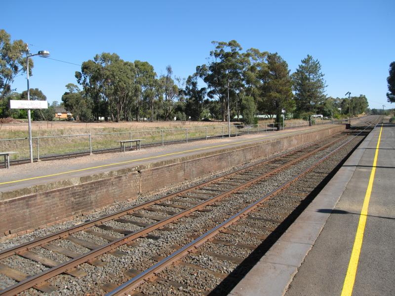
Railway station vicinity - View south-west along railway station platform
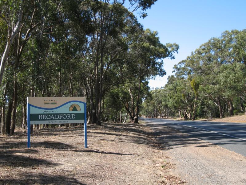
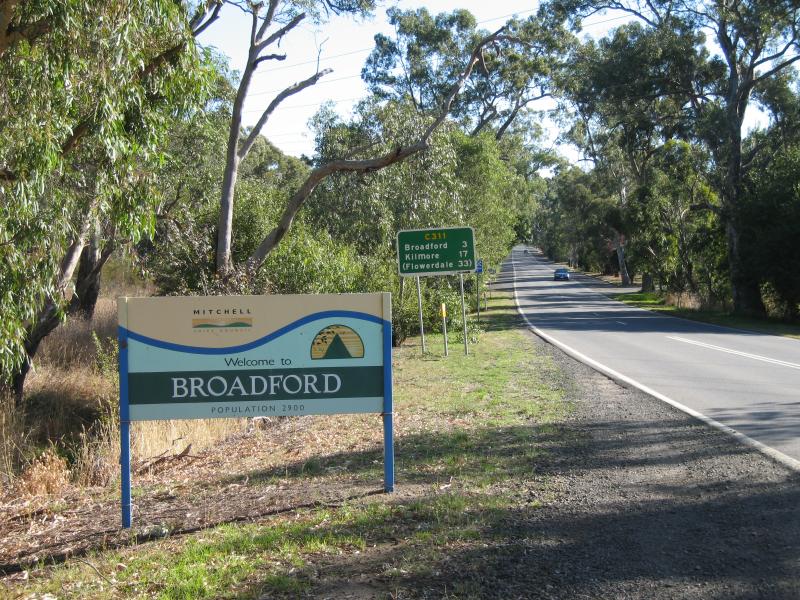
Around Broadford - Broadford town sign, view north-east along High St near Casey Cr
Around Broadford - Broadford town sign, view south-west along Kilmore Rd near railway crossing, east side of town
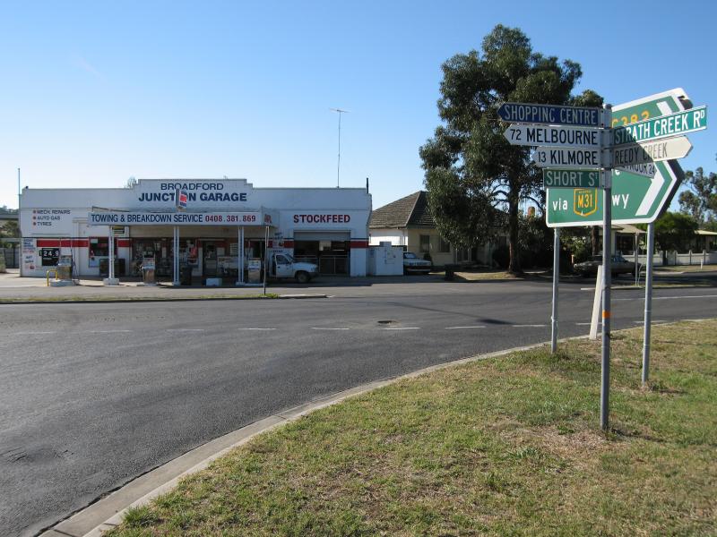
Short Street and Strath Creek Road - Broadford Junction Garage, corner Short Street (Strath Creek Rd) and High St
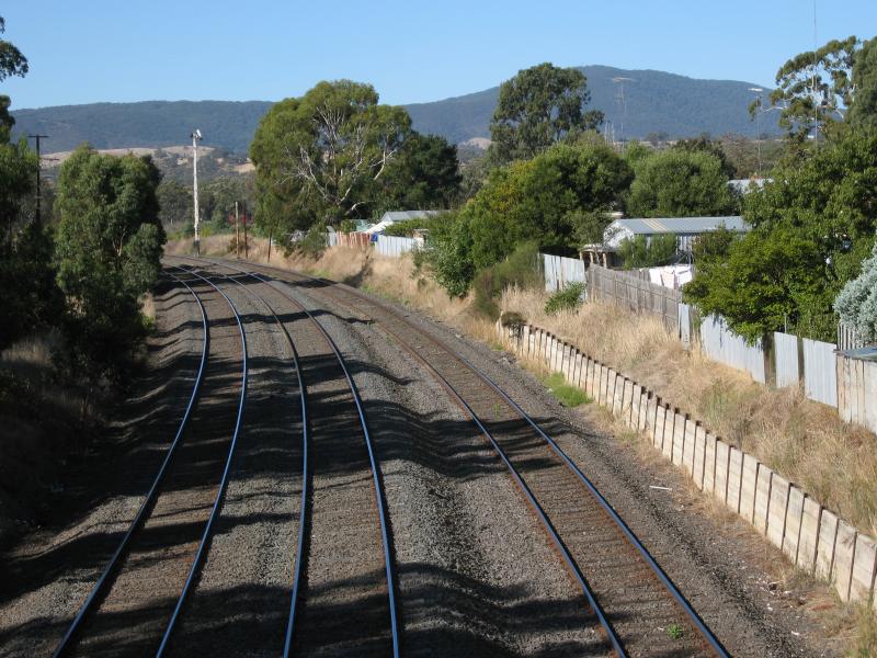
Short Street and Strath Creek Road - View north-east along railway line at Short Street Rd overpass
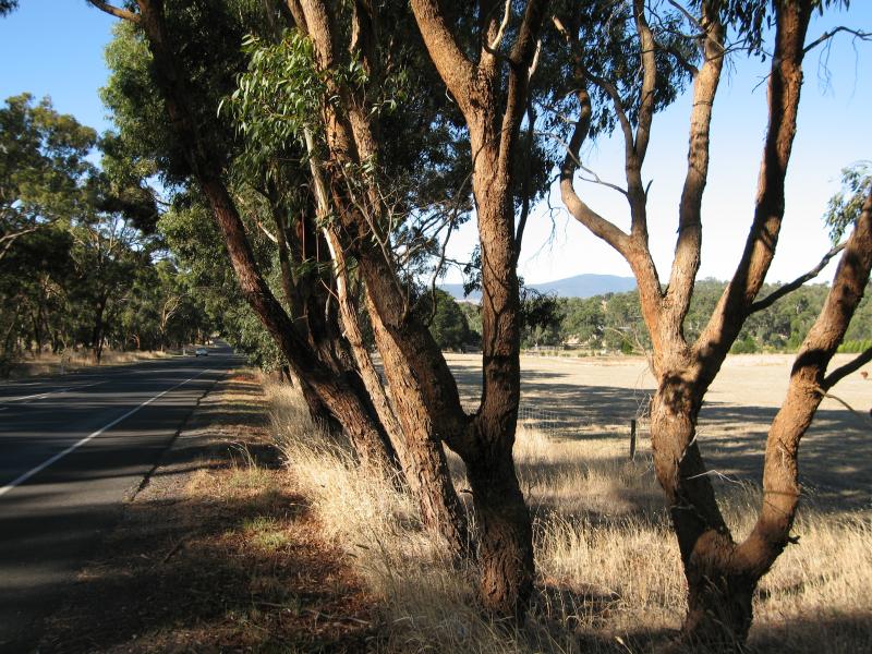
Short Street and Strath Creek Road - Easterly view, Strath Creek Rd east of Hume Fwy
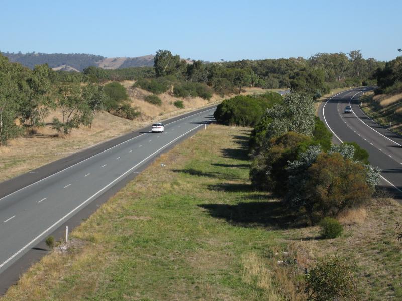
Hume Freeway at Broadford-Kilmore Road overpass - View north along Hume Fwy
Hume Freeway at Broadford-Kilmore Road overpass - View south along Hume Fwy
Kilmore Road south-west of Broadford - View north-east along Kilmore Rd, 3 km south of Broadford
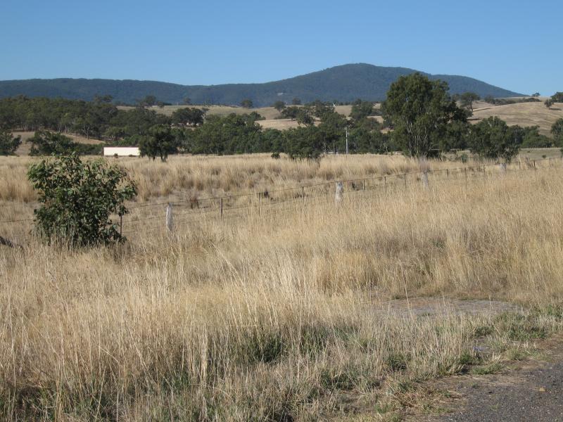
Kilmore Road south-west of Broadford - South-easterly view from Kilmore Rd, 3 km south of Broadford
Kilmore Road south-west of Broadford - South-easterly view from Kilmore Rd, 4 km south of Broadford
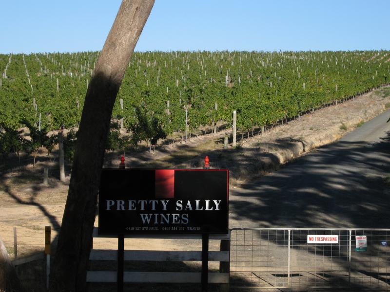
Kilmore Road south-west of Broadford - Pretty Sally Wines