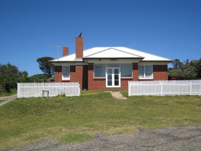
Cape Schanck Lighthouse Reserve, end of Cape Schanck Road - Red Lighthouse Keeper's cottage
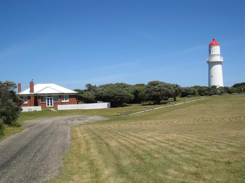
Cape Schanck Lighthouse Reserve, end of Cape Schanck Road - Red lighthouse keeper's cottage and lighthouse
Cape Schanck Lighthouse Reserve, end of Cape Schanck Road - White lighthouse keeper's cottage
Cape Schanck Lighthouse Reserve, end of Cape Schanck Road - Stables
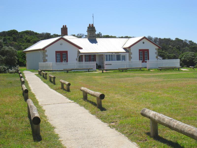
Cape Schanck Lighthouse Reserve, end of Cape Schanck Road - Museum
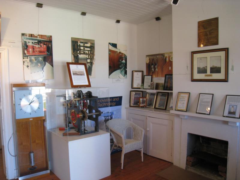
Cape Schanck Lighthouse Reserve, end of Cape Schanck Road - Displays inside the museum
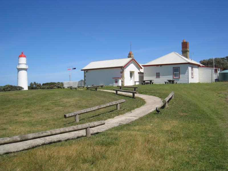
Cape Schanck Lighthouse Reserve, end of Cape Schanck Road - Rear of museum and lighthouse
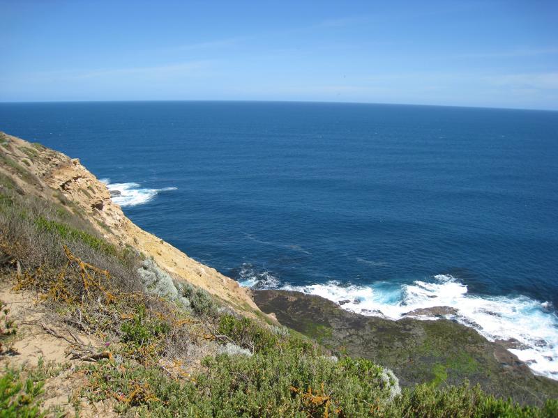
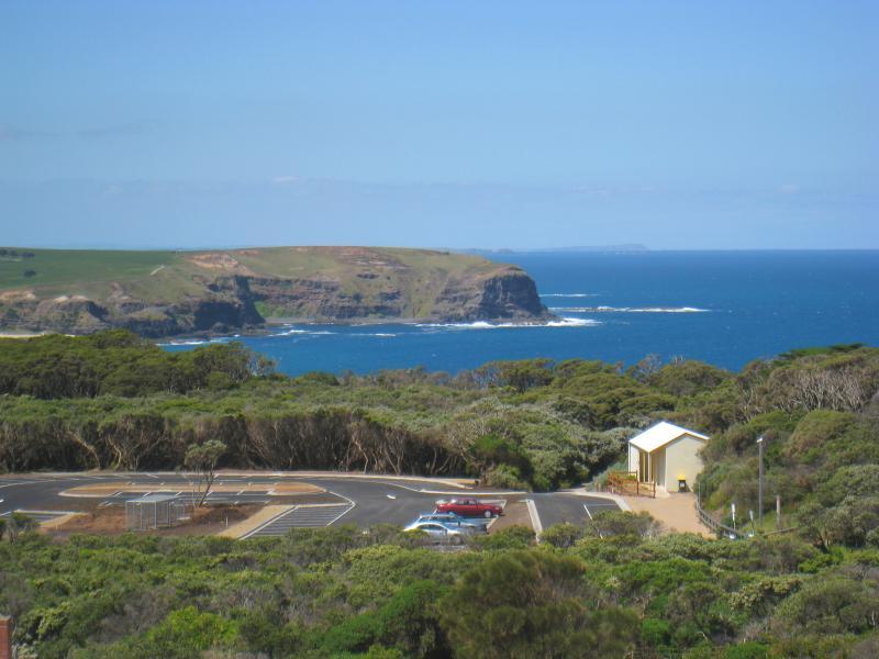
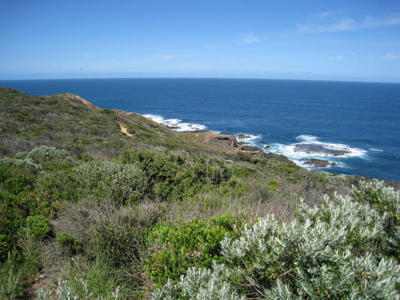
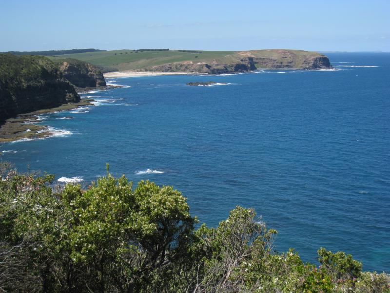
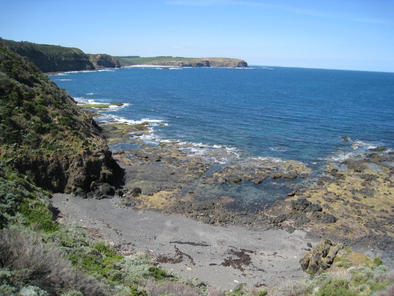
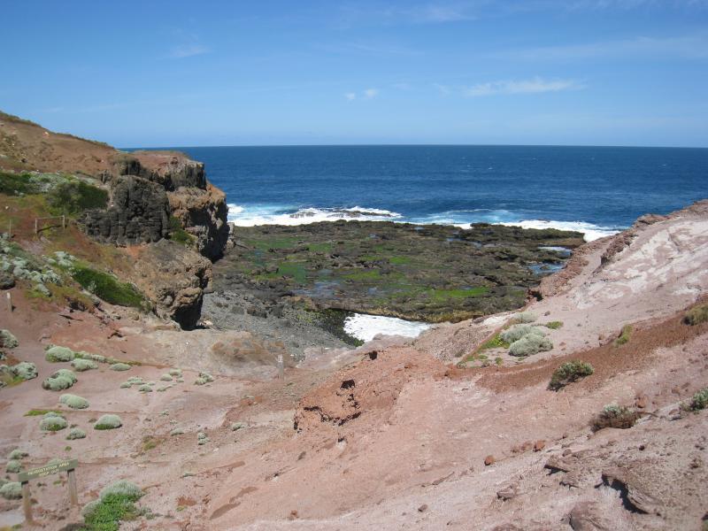
Cape Schanck Lighthouse Reserve, end of Cape Schanck Road - View north-west along coast from lookout near museum
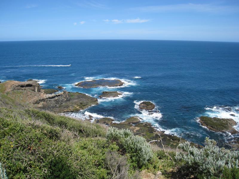
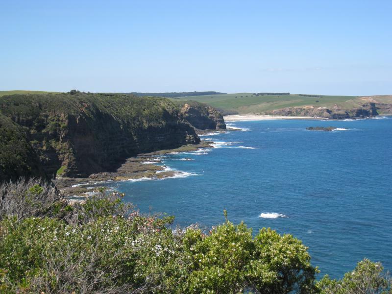
Cape Schanck Lighthouse Reserve, end of Cape Schanck Road - View south-west along coast from lookout near museum
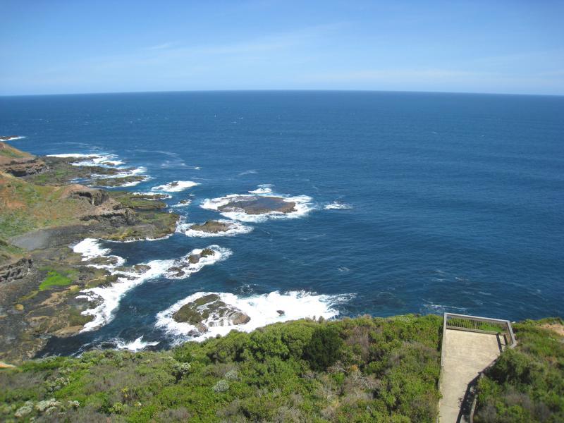
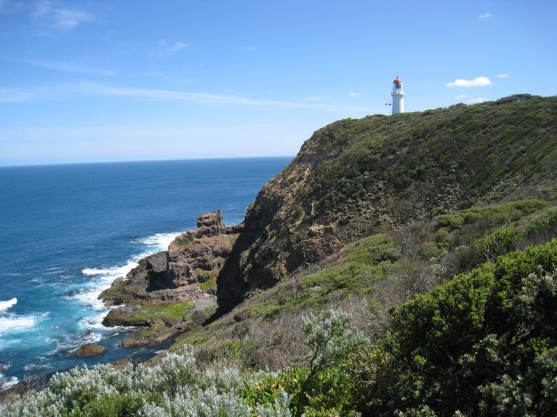
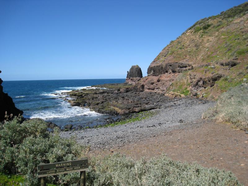
Cape Schanck Lighthouse Reserve, end of Cape Schanck Road - View south along coast from lookout at base of lighthouse
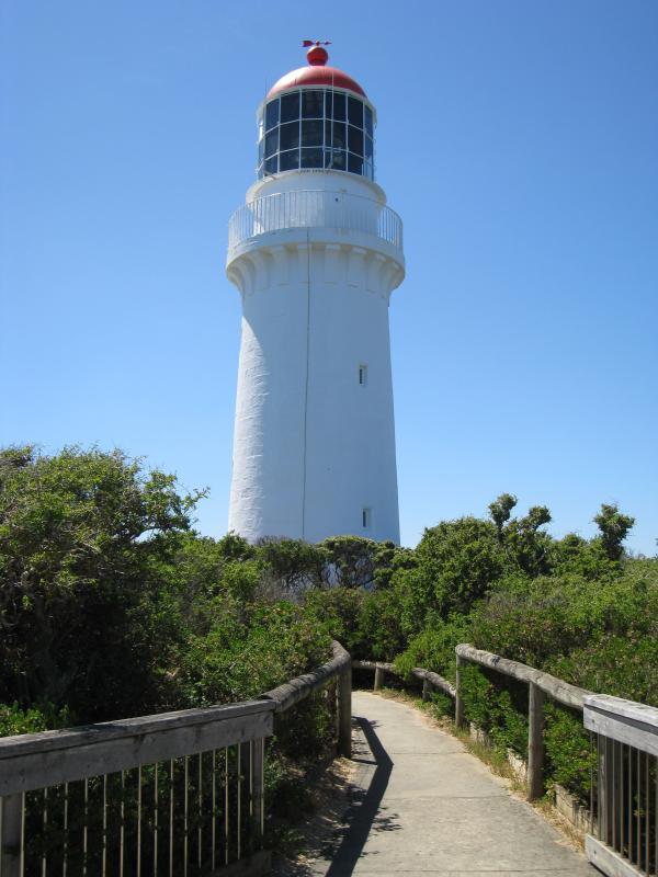
Cape Schanck Lighthouse Reserve, end of Cape Schanck Road - View of lighthouse from lookout at base
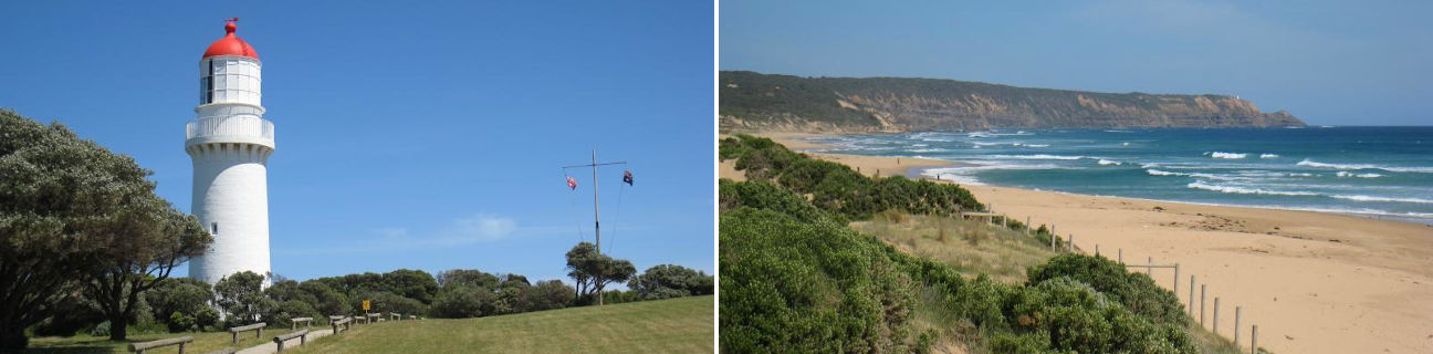
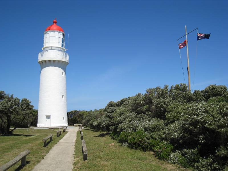
Cape Schanck Lighthouse Reserve, end of Cape Schanck Road - Lighthouse and flag pole
Cape Schanck Lighthouse Reserve, end of Cape Schanck Road - Lighthouse and flag pole
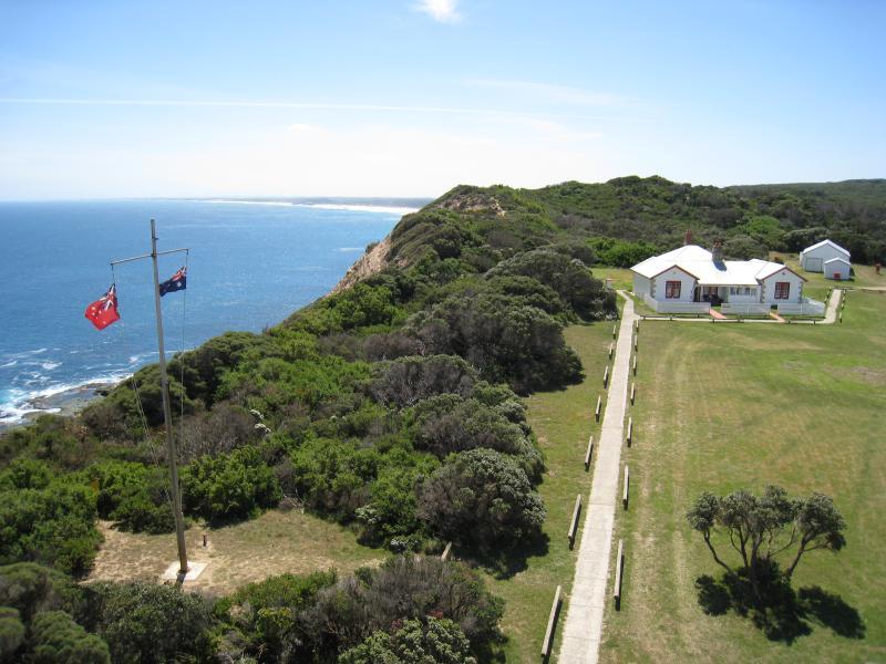
Cape Schanck Lighthouse Reserve, end of Cape Schanck Road - From top of lighthouse, view north along coast towards flag pole and museum
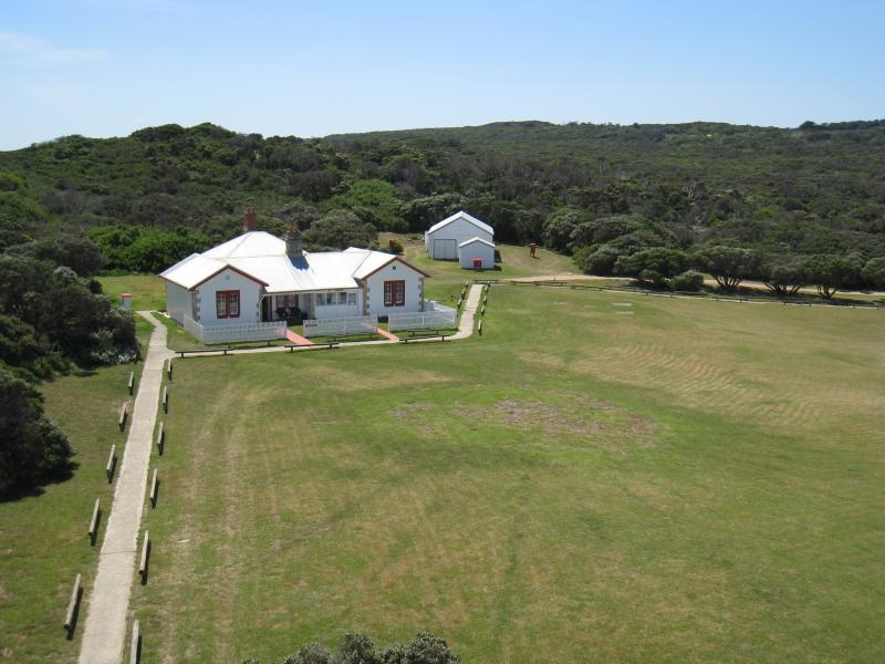
Cape Schanck Lighthouse Reserve, end of Cape Schanck Road - From top of lighthouse, view north towards museum
Cape Schanck Lighthouse Reserve, end of Cape Schanck Road - From top of lighthouse, view north-east towards white lighthouse keeper's cottage
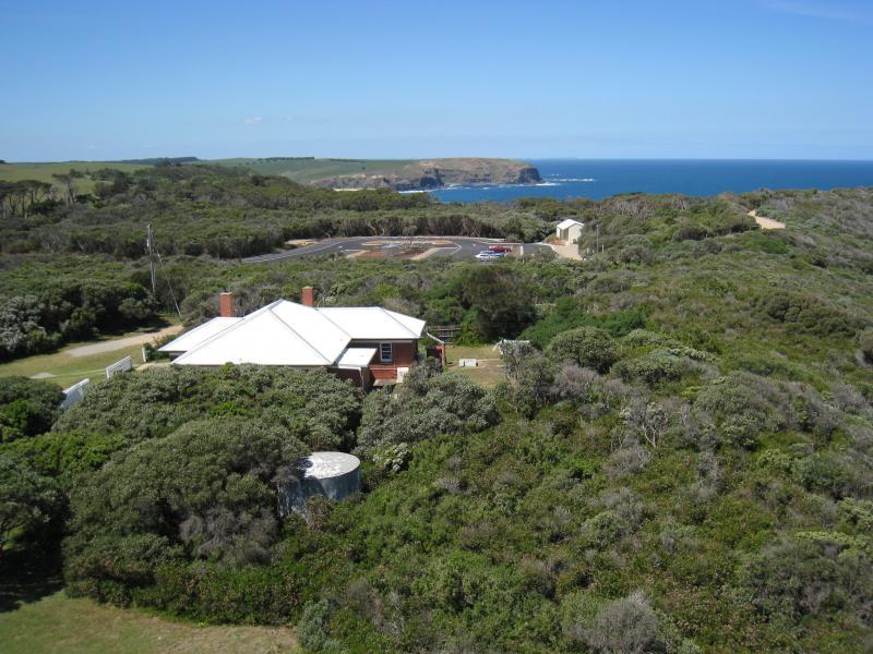
Cape Schanck Lighthouse Reserve, end of Cape Schanck Road - From top of lighthouse, view east to red lighthouse keeper's cottage
Cape Schanck Lighthouse Reserve, end of Cape Schanck Road - From top of lighthouse, view east towards car park and Picnic Point
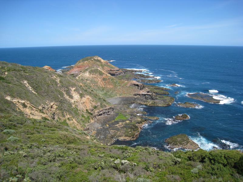
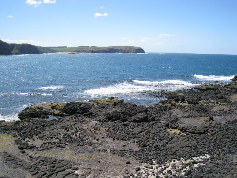
Cape Schanck Lighthouse Reserve, end of Cape Schanck Road - From top of lighthouse, view south-east towards Cape Schanck
Cape Schanck Lighthouse Reserve, end of Cape Schanck Road - From top of lighthouse, view south towards lookout at base
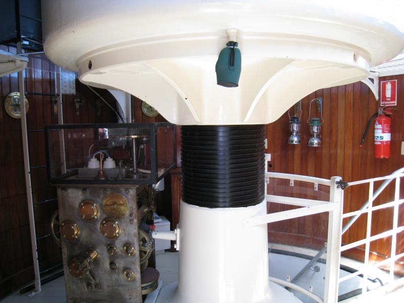
Cape Schanck Lighthouse Reserve, end of Cape Schanck Road - Inside lighthouse at the top
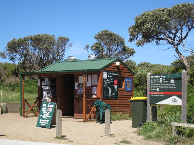
Walking tracks and lookouts around car park at end of Cape Schanck Road - Kiosk at car park
Walking tracks and lookouts around car park at end of Cape Schanck Road - View south along coast from lookout east of car park
Walking tracks and lookouts around car park at end of Cape Schanck Road - View east across Bushrangers Bay towards Picnic Point from lookout east of car park
Walking tracks and lookouts around car park at end of Cape Schanck Road - View west towards lighthouse from lookout near car park
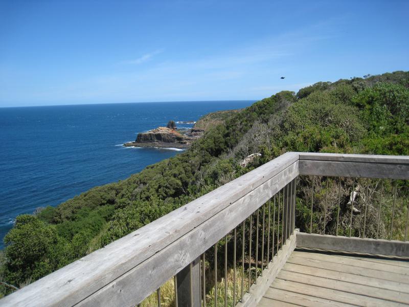
Walking tracks and lookouts around car park at end of Cape Schanck Road - View south-west along coast from lookout near car park
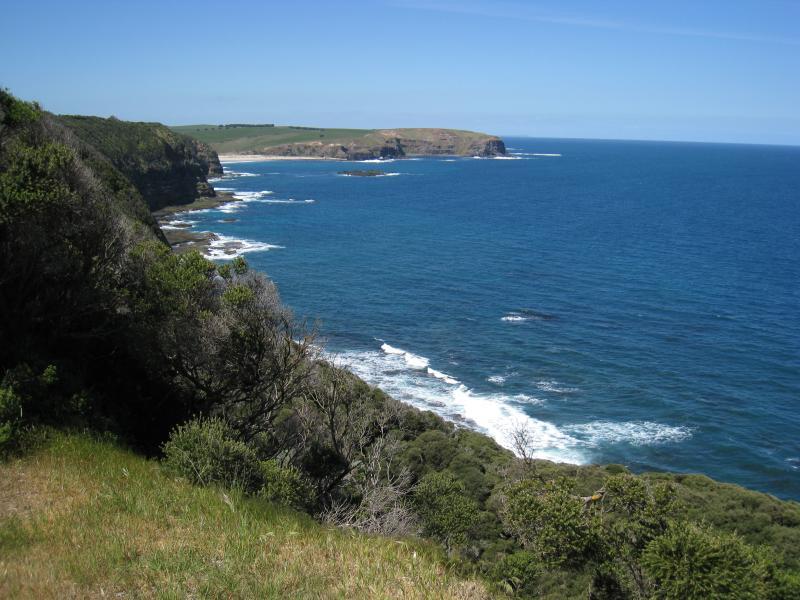
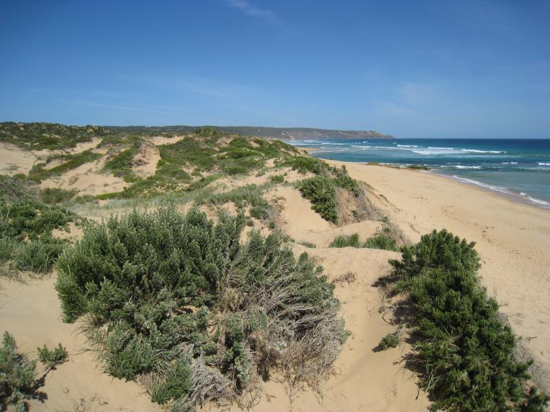
Walking tracks and lookouts around car park at end of Cape Schanck Road - View of western coastline from walking track
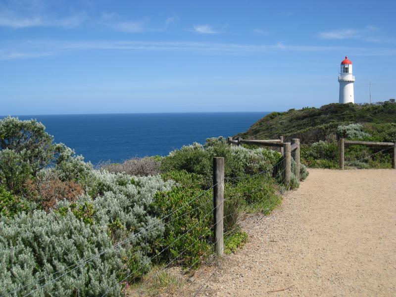
Walking tracks and lookouts around car park at end of Cape Schanck Road - View north-west to lighthouse from walking track
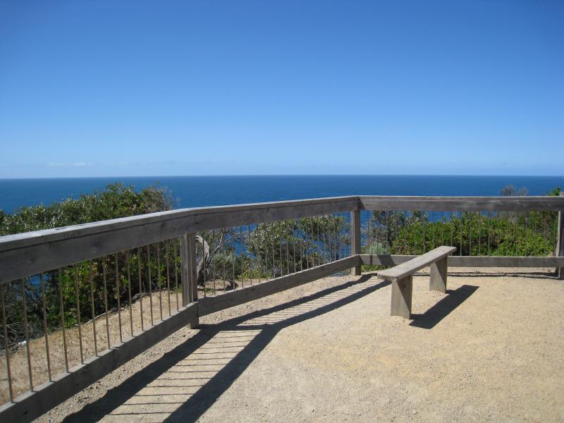
Walking tracks and lookouts around car park at end of Cape Schanck Road - Lookout south of car park
Walking tracks and lookouts around car park at end of Cape Schanck Road - View south along coast from lookout south of car park
Walking tracks and lookouts around car park at end of Cape Schanck Road - View east across Bushrangers Bay towards Picnic Point from lookout south of car park
Walking tracks and lookouts around car park at end of Cape Schanck Road - View east across Bushrangers Bay from lookout south of car park
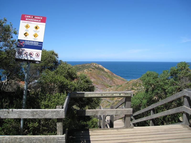
Cape Schanck Boardwalk - Entrance to boardwalk
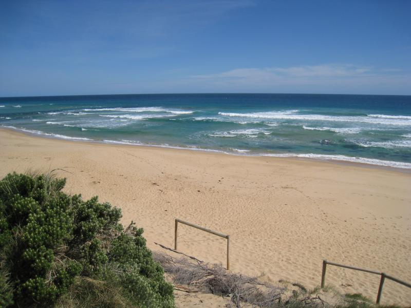
Cape Schanck Boardwalk - View south-east to sea near start of boardwalk
Cape Schanck Boardwalk - View south near start of boardwalk
Cape Schanck Boardwalk - View along boardwalk near entrance
Cape Schanck Boardwalk - View south-west out to sea from near start of boardwalk
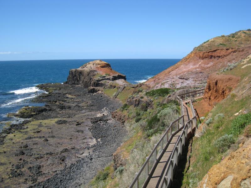
Cape Schanck Boardwalk - View south-west along boardwalk
Cape Schanck Boardwalk - View out to see from western side of boardwalk
Cape Schanck Boardwalk - View along boardwalk
Cape Schanck Boardwalk - View south along boardwalk
Cape Schanck Boardwalk - View east across Bushrangers Bay towards Picnic Point
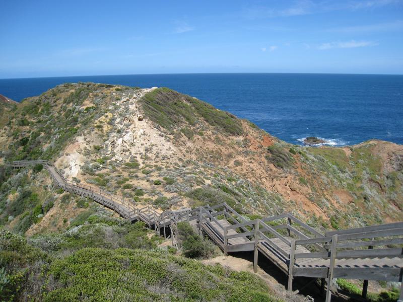
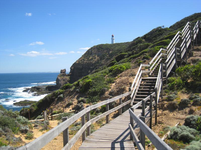
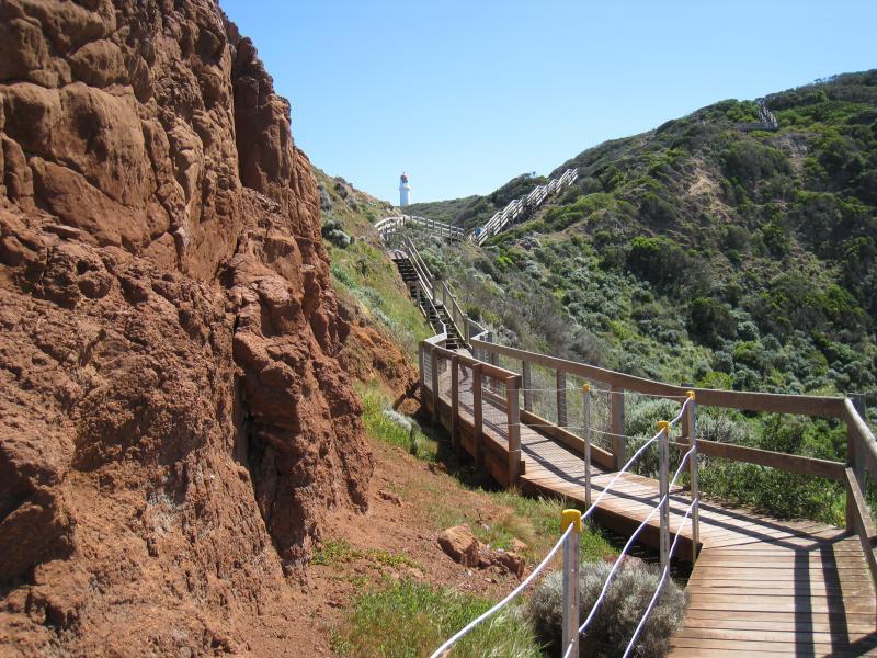
Cape Schanck Boardwalk - View north-west up boardwalk towards lighthouse
Cape Schanck Boardwalk - View south-east along boardwalk
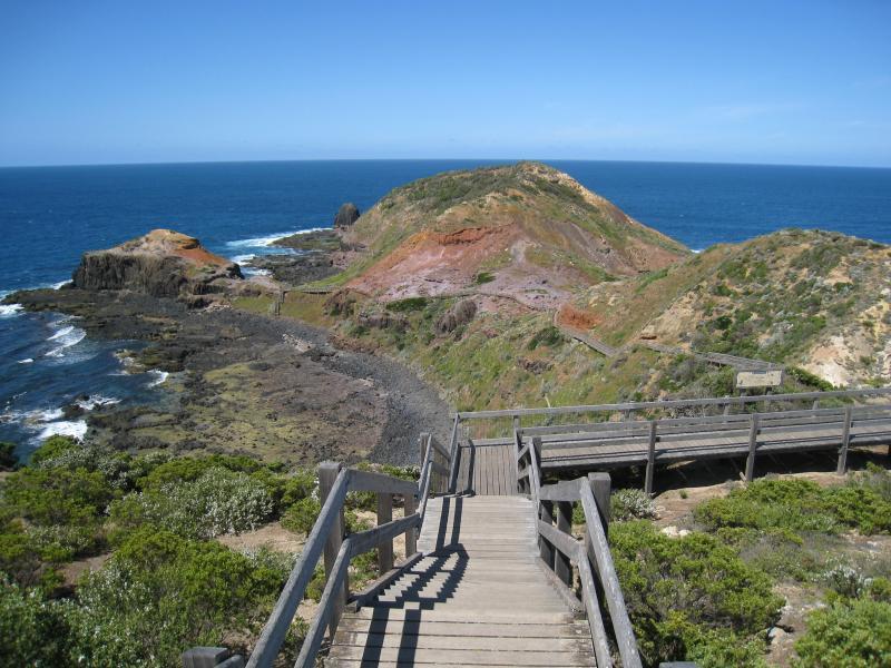
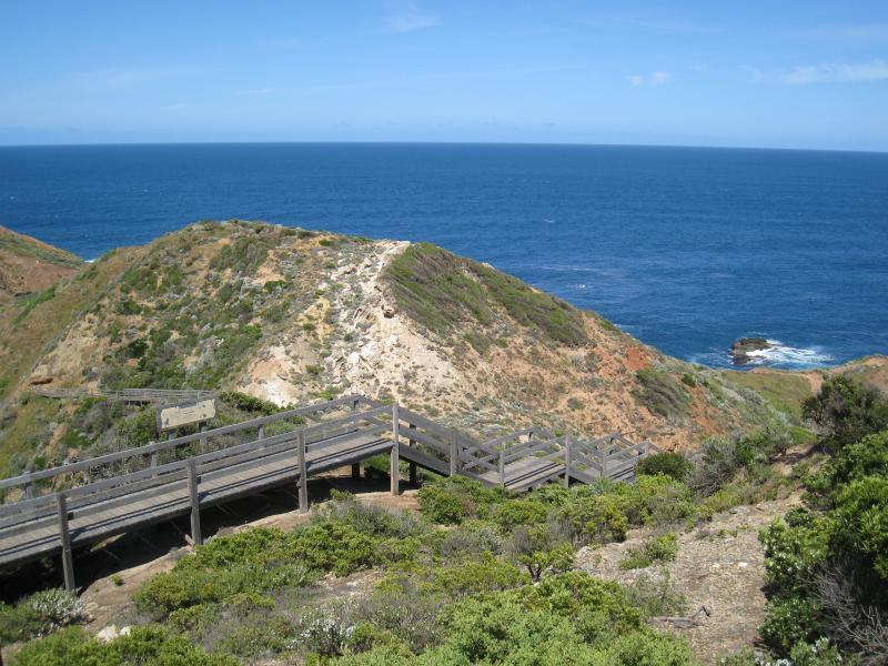
Cape Schanck Boardwalk - View north-west up boardwalk towards lighthouse
Cape Schanck Boardwalk - View west from boardwalk
Cape Schanck Boardwalk - View north-west up boardwalk towards lighthouse
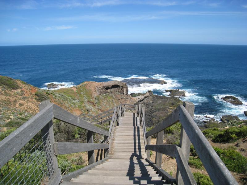
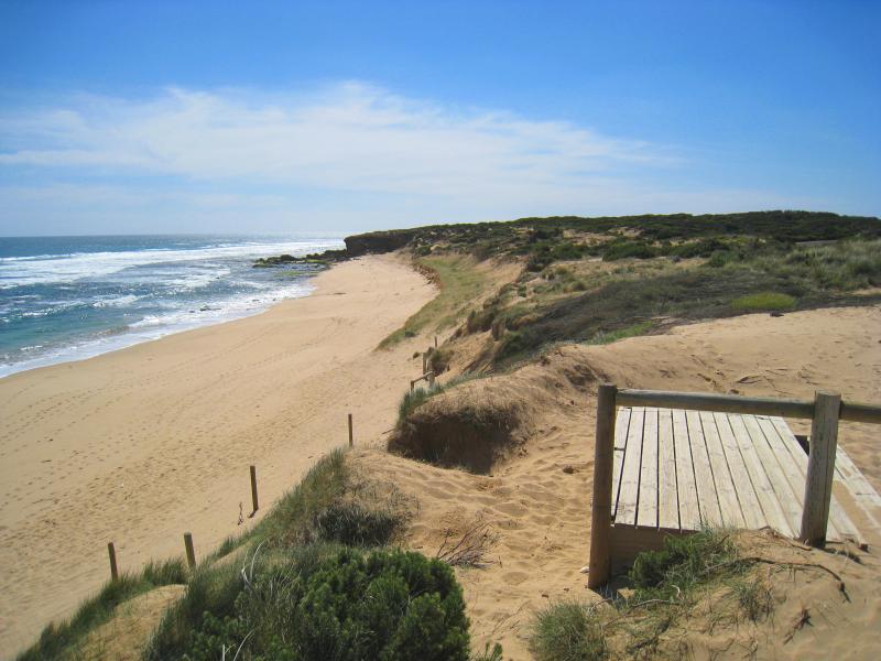
Cape Schanck Boardwalk - View south down towards steps at end of boardwalk
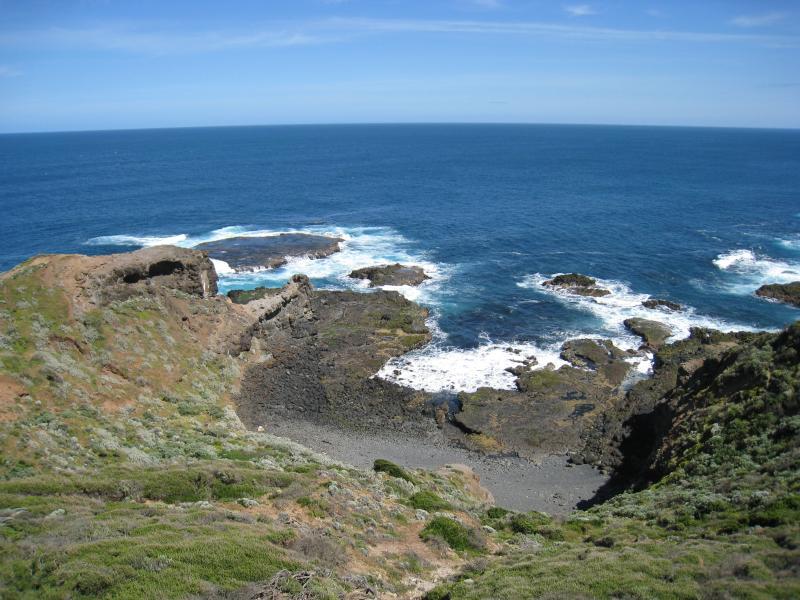
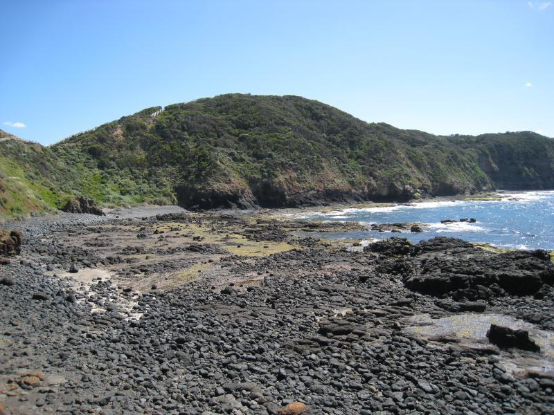
Cape Schanck Boardwalk - Coastline at western side of end of boardwalk
Cape Schanck Boardwalk - View east across Bushrangers Bay from coast at end of boardwalk
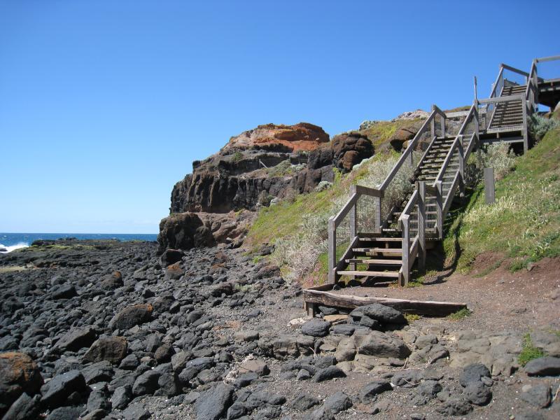
Cape Schanck Boardwalk - Steps up to boardwalk, eastern side of cape
Cape Schanck Boardwalk - View north along coast at end of boardwalk, east side of cape
Cape Schanck Road - View south along Cape Schanck Rd near Trent Jones Dr
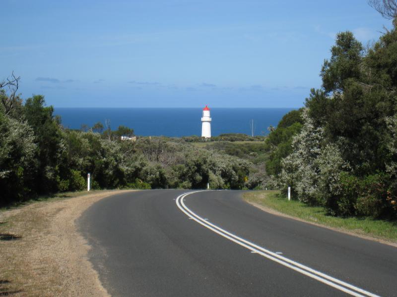
Cape Schanck Road - View south-west along Cape Schanck Rd towards lighthouse
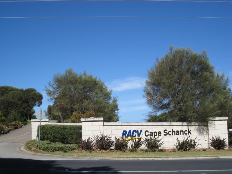
Cape Schanck Resort & Golf Course, Trent Jones Drive - Entrance to RACV Cape Schanck Resort, Boneo Rd at Trent Jones Dr
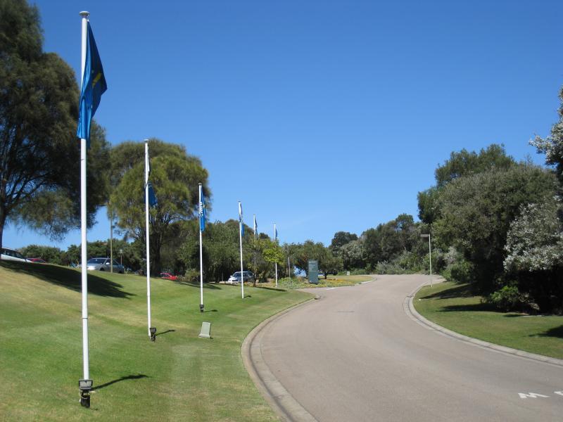
Cape Schanck Resort & Golf Course, Trent Jones Drive - View south along Trent Jones Dr towards car park at resort reception and restaurant
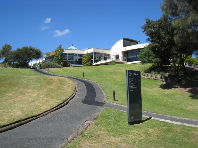
Cape Schanck Resort & Golf Course, Trent Jones Drive - Entrance to resort reception and restaurant, viewed from car park
Cape Schanck Resort & Golf Course, Trent Jones Drive - Pathway up to restaurant
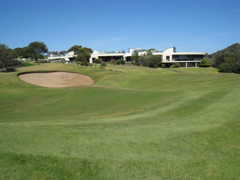
Cape Schanck Resort & Golf Course, Trent Jones Drive - View of restaurant from golf course
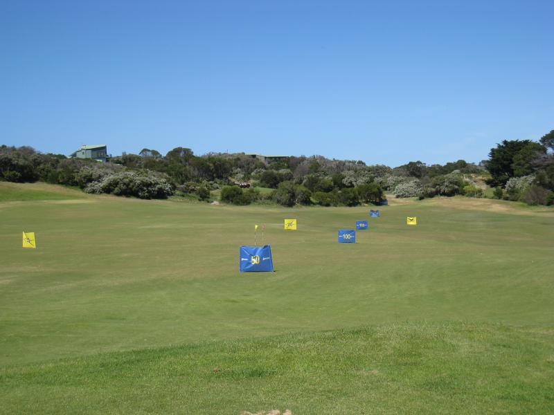
Cape Schanck Resort & Golf Course, Trent Jones Drive - Golf driving range near reception and restaurant car park
Cape Schanck Resort & Golf Course, Trent Jones Drive - View east across golf course greens towards housing along southern end of Casuarina Dr
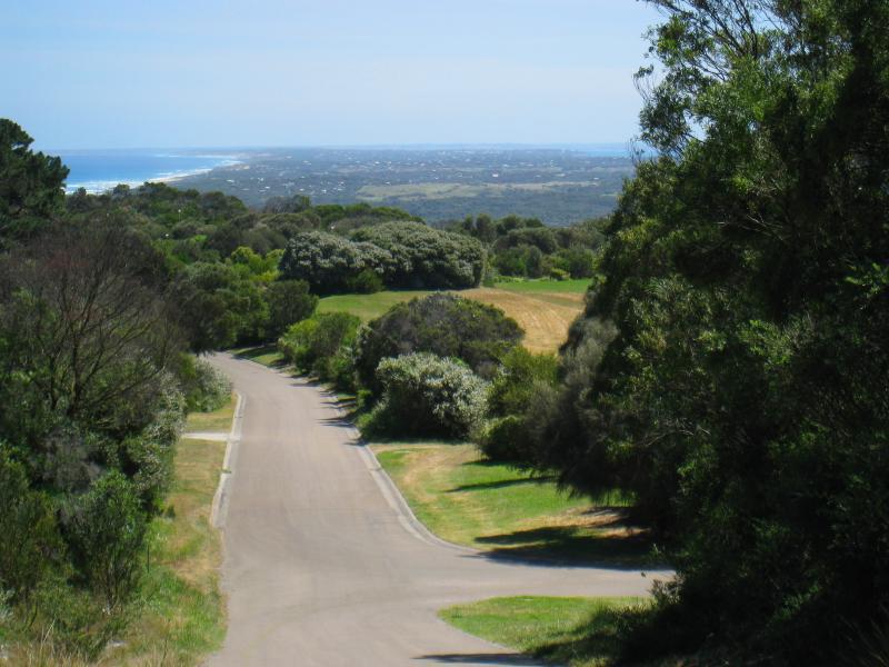
Cape Schanck Resort & Golf Course, Trent Jones Drive - View north-west along Trent Jones Dr near maintenance complex
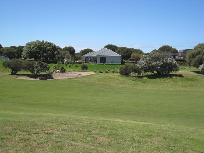
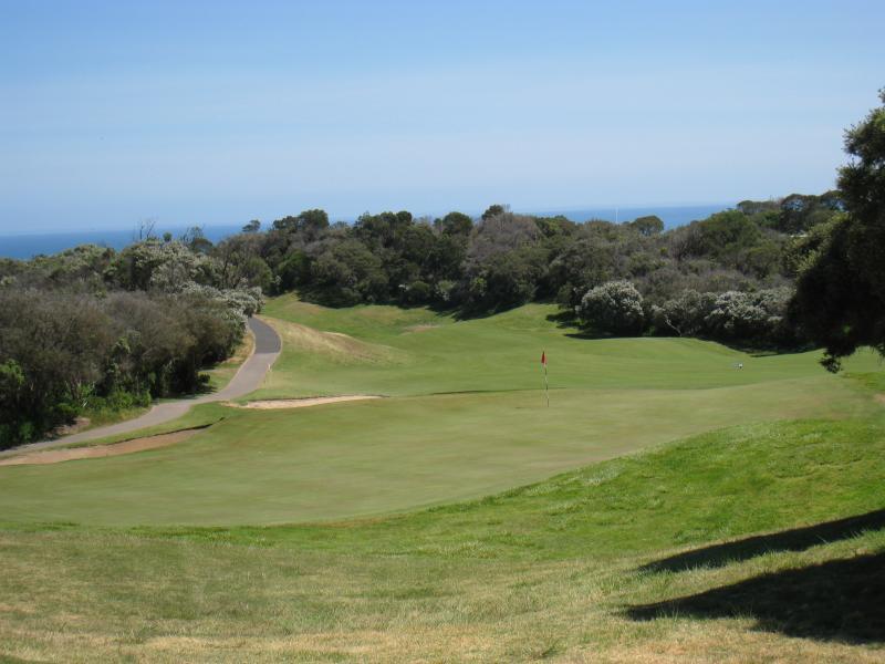
Cape Schanck Resort & Golf Course, Trent Jones Drive - Golf course greens and hole near Moonah Dr
Main Creek Picnic Area and surroundings, Boneo Road - View north-east across Main Creek from Boneo Rd west of creek
Main Creek Picnic Area and surroundings, Boneo Road - View south-east along Boneo Rd west of creek
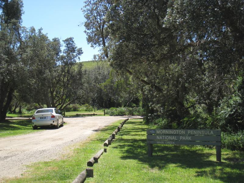
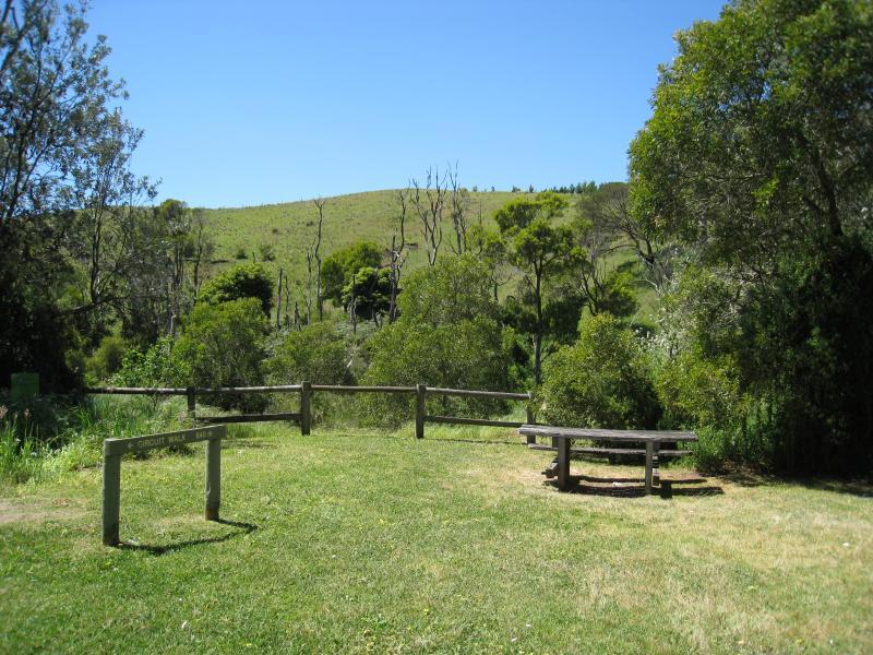
Main Creek Picnic Area and surroundings, Boneo Road - Entrance to Main Creek Picnic Area
Main Creek Picnic Area and surroundings, Boneo Road - View towards creek at Main Creek Picnic Area
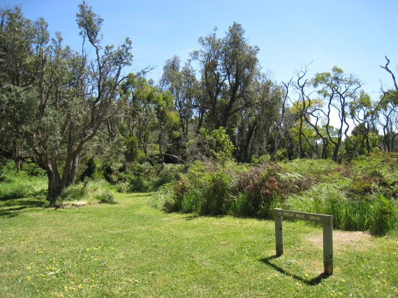
Main Creek Picnic Area and surroundings, Boneo Road - Start of circuit walk at Main Creek Picnic Area
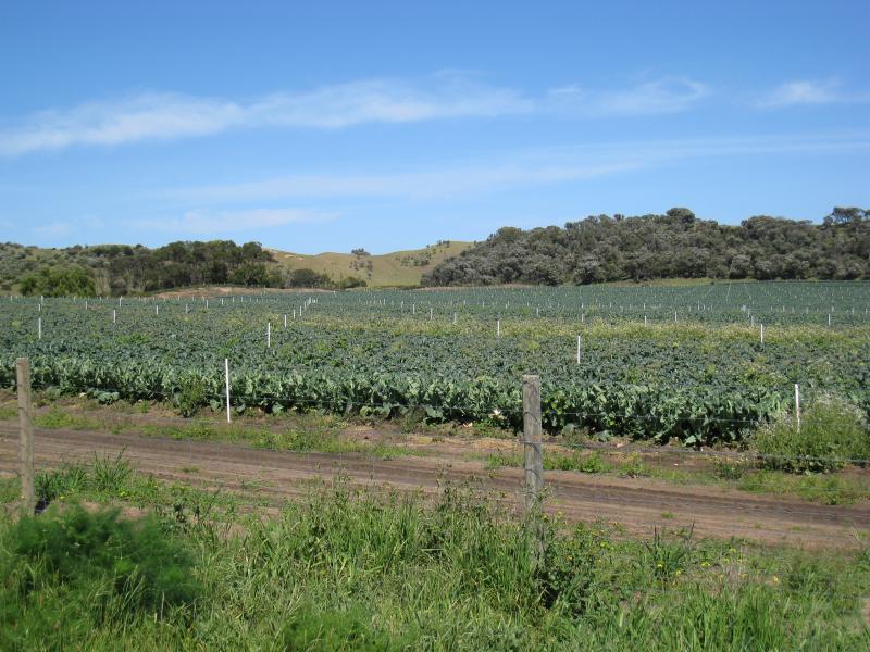
Boneo Road north of Cape Schanck - Vegetable farm, west side of Boneo Rd south of Maxwell Rd
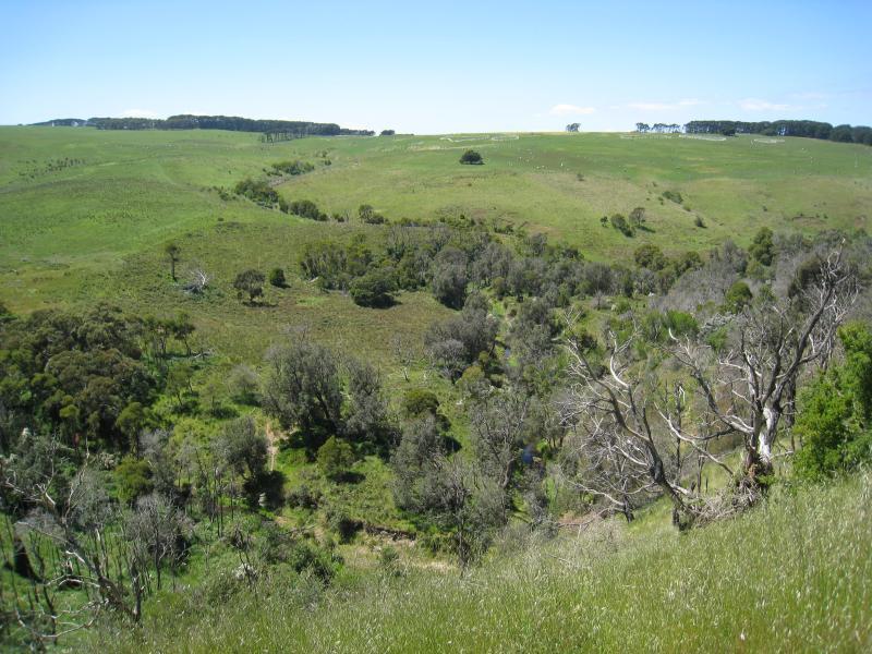
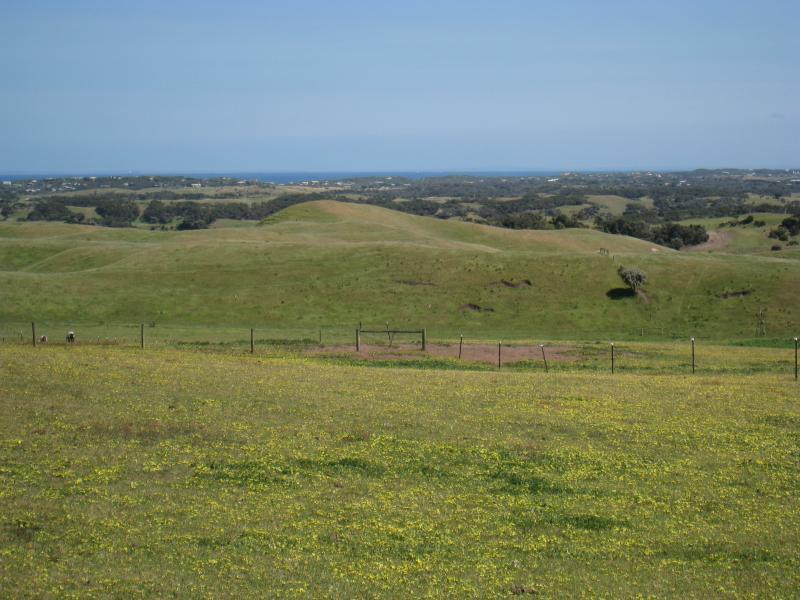
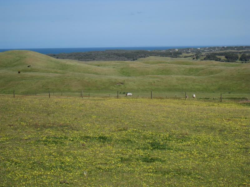
Boneo Road north of Cape Schanck - North-west view from Boneo Rd south of Patterson Rd
Boneo Road north of Cape Schanck - Westerly view from Boneo Rd south of Patterson Rd
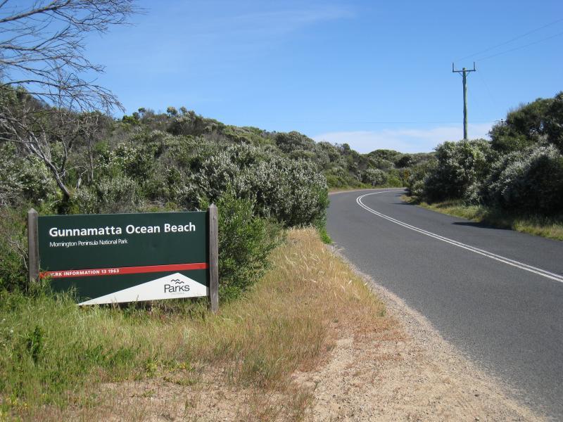
Gunnamatta Beach, section where Truemans Road meets the coast - View south along Truemans Rd approaching coast
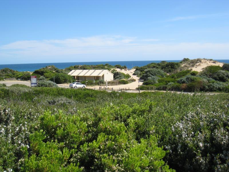
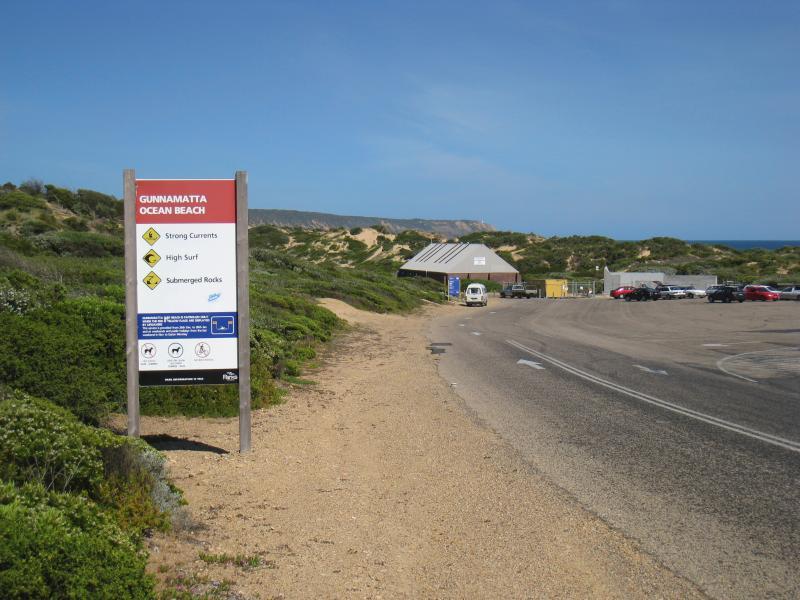
Gunnamatta Beach, section where Truemans Road meets the coast - View towards car park and beach from Truemans Rd
Gunnamatta Beach, section where Truemans Road meets the coast - View of car park from sand dunes along beach
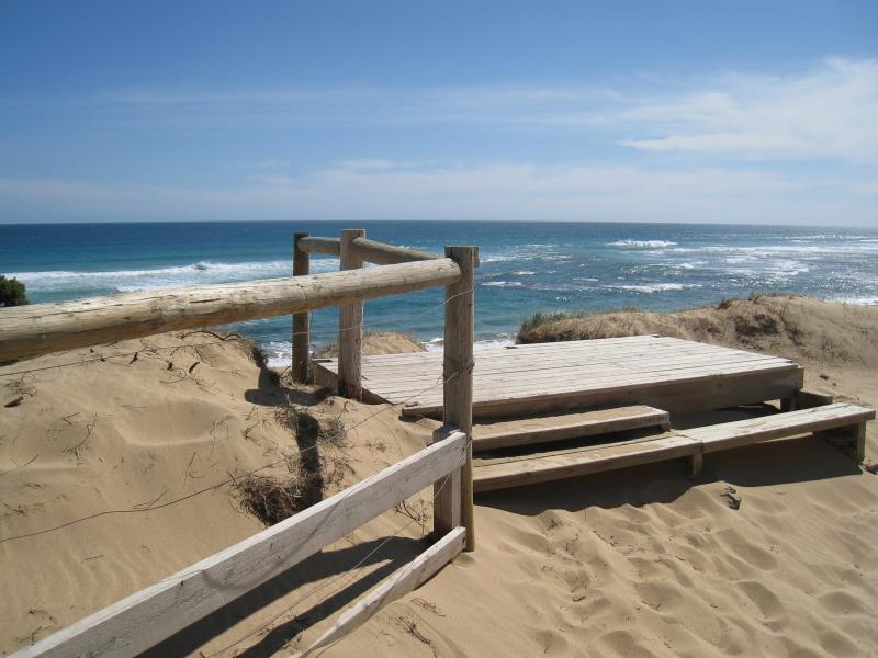
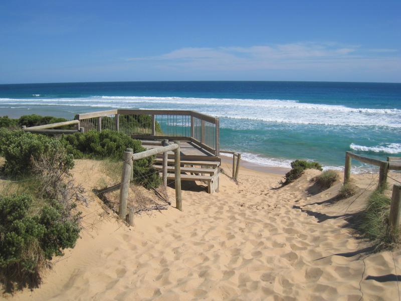
Gunnamatta Beach, section where Truemans Road meets the coast - Viewing platform on foreshore
Gunnamatta Beach, section where Truemans Road meets the coast - View north-west along beach at viewing platform
Gunnamatta Beach, section where Truemans Road meets the coast - Ocean view from viewing platform
Gunnamatta Beach, section where Truemans Road meets the coast - View south-east along sand dunes and beach from viewing platform
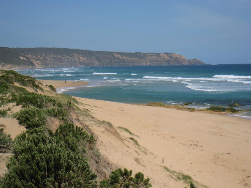
Gunnamatta Beach, section where Truemans Road meets the coast - View south-east along coast towards Cape Schanck
Gunnamatta Beach, section where Truemans Road meets the coast - View south-east along beach
Gunnamatta Beach, section where Truemans Road meets the coast - View south-east along beach towards Cape Schanck
Gunnamatta Beach, section at very end of Truemans Road - View south-east along Truemans Rd towards car park
Gunnamatta Beach, section at very end of Truemans Road - View towards car park from sand dunes along beach
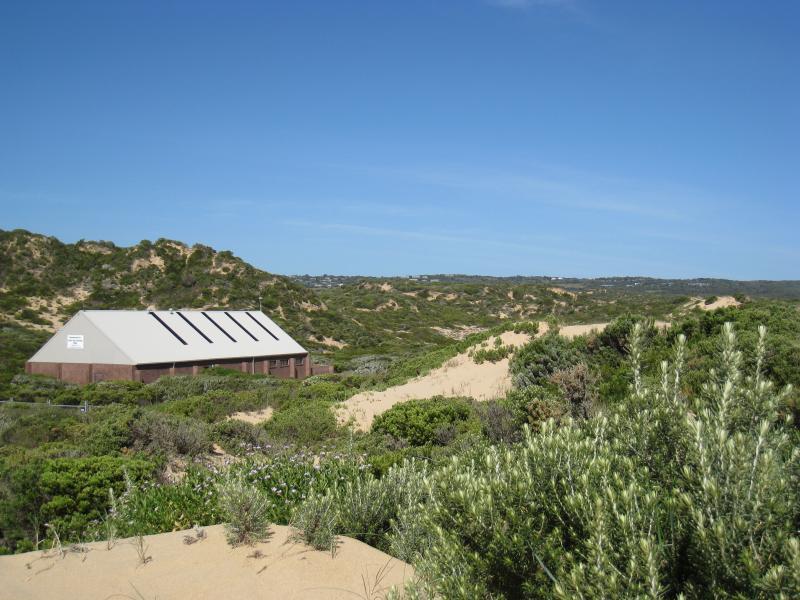
Gunnamatta Beach, section at very end of Truemans Road - View across sand dunes towards Gunnamatta Surf Life Saving Club
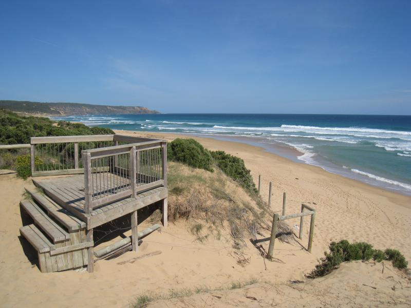
Gunnamatta Beach, section at very end of Truemans Road - Viewing platform
Gunnamatta Beach, section at very end of Truemans Road - View south-east along beach at viewing platform
Gunnamatta Beach, section at very end of Truemans Road - View south-east along foreshore and beach towards Cape Schanck
Gunnamatta Beach, section at very end of Truemans Road - View north-west across beach from viewing platform
Gunnamatta Beach, section at very end of Truemans Road - View south-east along beach
Gunnamatta Beach, section at very end of Truemans Road - Beach
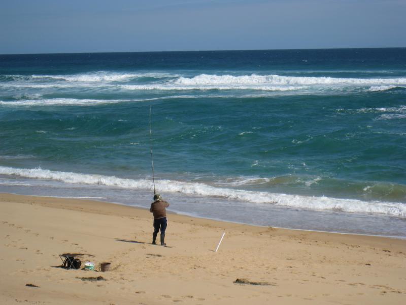
Gunnamatta Beach, section at very end of Truemans Road - Fishing on the beach
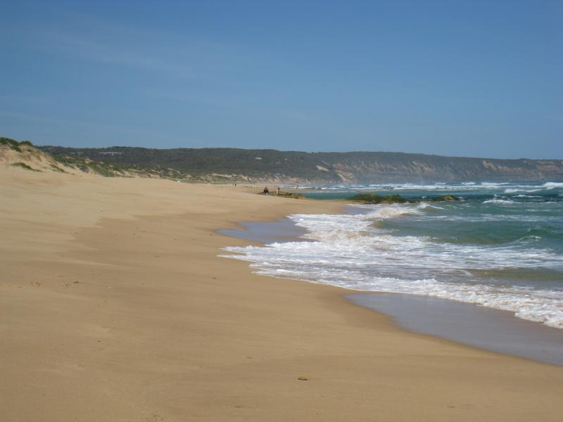
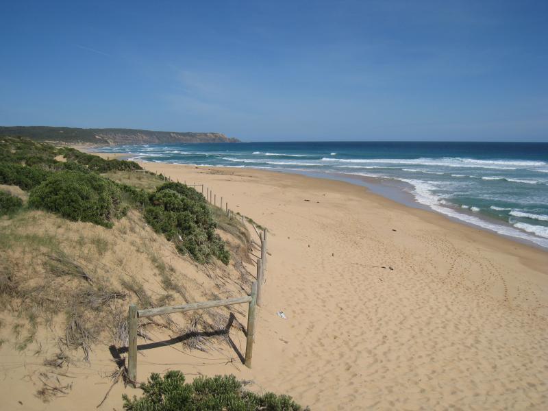
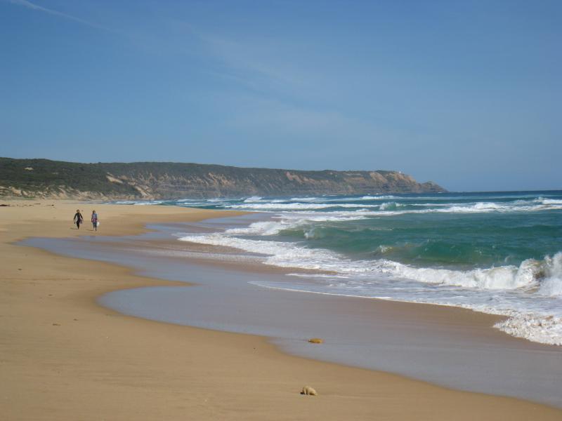
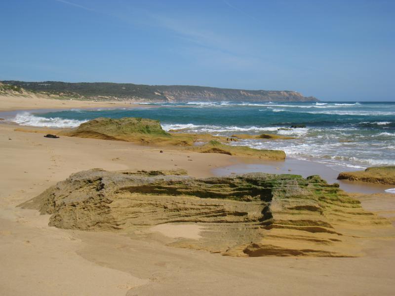
Gunnamatta Beach, section at very end of Truemans Road - View south-east along beach towards Cape Schanck
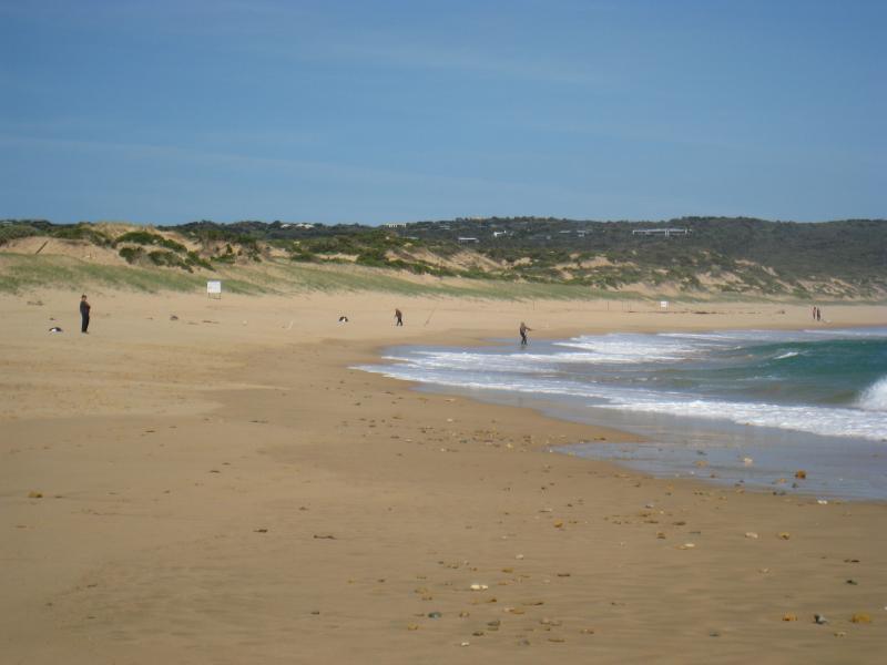
Gunnamatta Beach, section at very end of Truemans Road - View south-east along beach
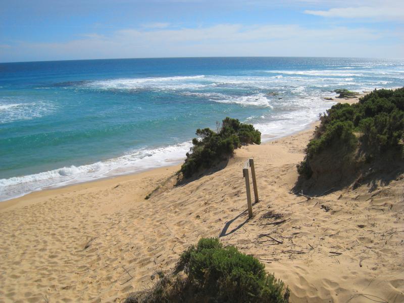
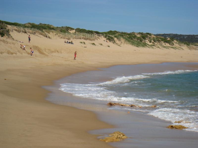
Gunnamatta Beach, section at very end of Truemans Road - Sand dunes along beach
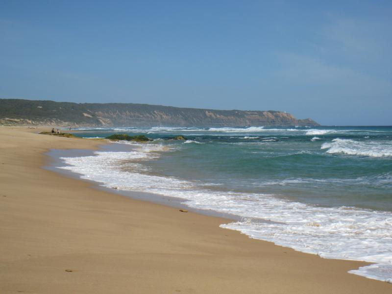
Gunnamatta Beach, section at very end of Truemans Road - View south-east along beach towards Cape Schanck