Charlton - public transport
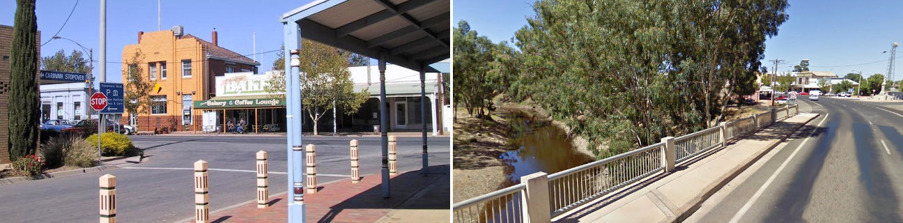
Charlton
Stay
See and do
Food and drink
Shopping
Getting around
Visitor information
Train
Kerang station
(98 km away)
| Line | Operator | Timetable and stops | Map |
|---|---|---|---|
| Swan Hill |  |
Swan Hill - Melbourne Via Swan Hill, Kerang, Pyramid, Dingee, Raywood, Eaglehawk, Bendigo, Kangaroo Flat, Castlemaine, Malmsbury, Kyneton, Woodend, Gisborne, Watergardens, Footscray, Southern Cross |
Bendigo, Eaglehawk, Epsom, Kangaroo Flat stations
(104 km away)
| Line | Operator | Timetable and stops | Map |
|---|---|---|---|
| Bendigo | |
Bendigo - Melbourne Via Epsom or Eaglehawk, Bendigo, Kangaroo Flat, Castlemaine, Malmsbury, Kyneton, Woodend, Macedon, Gisborne, Riddells Creek, Clarkefield, Sunbury, Watergardens, Footscray, Southern Cross |
|
| Echuca | |
Echuca - Melbourne Via Echuca, Rochester, Elmore, Goornong, Huntly, Epsom, Bendigo, Kangaroo Flat, Castlemaine, Malmsbury, Kyneton, Woodend, Macedon, Gisborne, Riddells Creek, Clarkefield, Sunbury, Footscray, Southern Cross |
|
| Swan Hill | |
Swan Hill - Melbourne Via Swan Hill, Kerang, Pyramid, Dingee, Raywood, Eaglehawk, Bendigo, Kangaroo Flat, Castlemaine, Malmsbury, Kyneton, Woodend, Gisborne, Watergardens, Footscray, Southern Cross |
Ararat station
(135 km away)
| Line | Operator | Timetable and stops | Map |
|---|---|---|---|
| Ararat | |
Ararat - Melbourne Via Ararat, Beaufort, Wendouree, Ballarat, Ballan, Bacchus Marsh, Melton, Cobblebank, Rockbank, Caroline Springs, Deer Park, Ardeer, Sunshine, Footscray, Southern Cross |
|
| The Overland |  |
Melbourne to Adelaide Via Southern Cross, North Shore, Ararat, Stawell, Horsham, Dimboola, Nhill, Bordertown (SA), Murray Bridge (SA), Adelaide (SA) |
Bus
| Route | Operator | Timetable | Map |
|---|---|---|---|
| Bendigo to Woomelang Via Bendigo station, Wedderburn, Charlton, Wycheproof, Birchip |
BusBiz | ||
| Sea Lake to Bendigo Via Birchip, Wycheproof, Charlton, Wedderburn, Inglewood, Bridgewater, Marong, Bendigo station |
|