Chelsea - photos
Chelsea
Stay
See and do
Food and drink
Shopping
Getting around
Visitor information
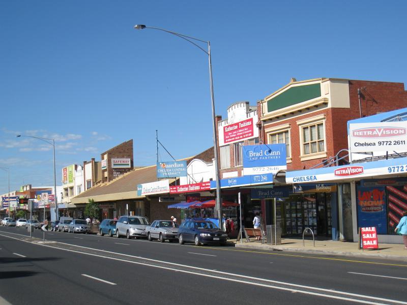
 Shops and commercial centre along Nepean Highway - View south along Nepean Hwy at Showers Av
 Shops and commercial centre along Nepean Highway - View south along Nepean Hwy towards Avondale Av
 Shops and commercial centre along Nepean Highway - Longbeach Hotel, corner Nepean Hwy and Avondale Av
 Shops and commercial centre along Nepean Highway - View south along Nepean Hwy at Longbeach Hotel
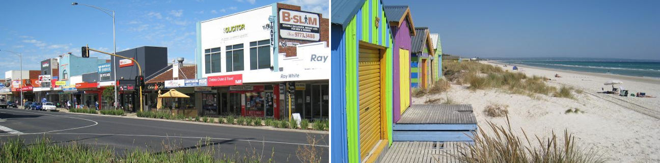
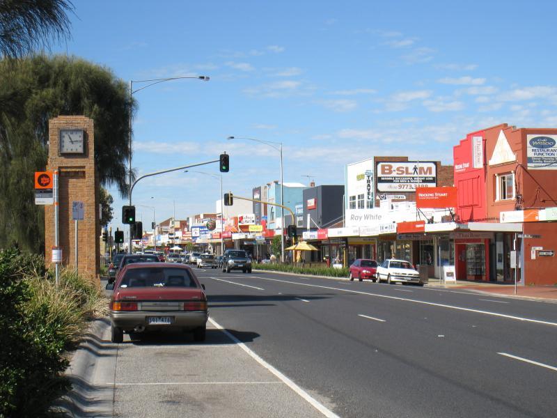 Shops and commercial centre along Nepean Highway - Clock tower, view south along Nepean Hwy towards The Beachway
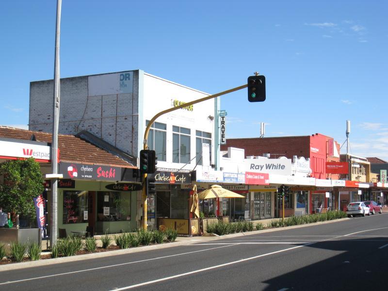
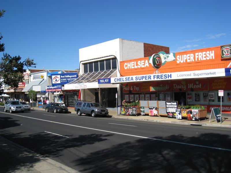
 Shops and commercial centre along Nepean Highway - Shops along west side of Nepean Hwy at Chelsea Rd
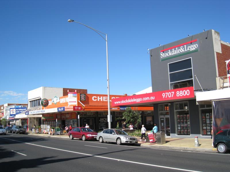
 Shops and commercial centre along Nepean Highway - View north along Nepean Hwy at Chelsea Rd
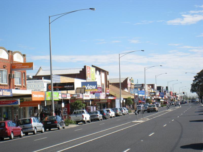
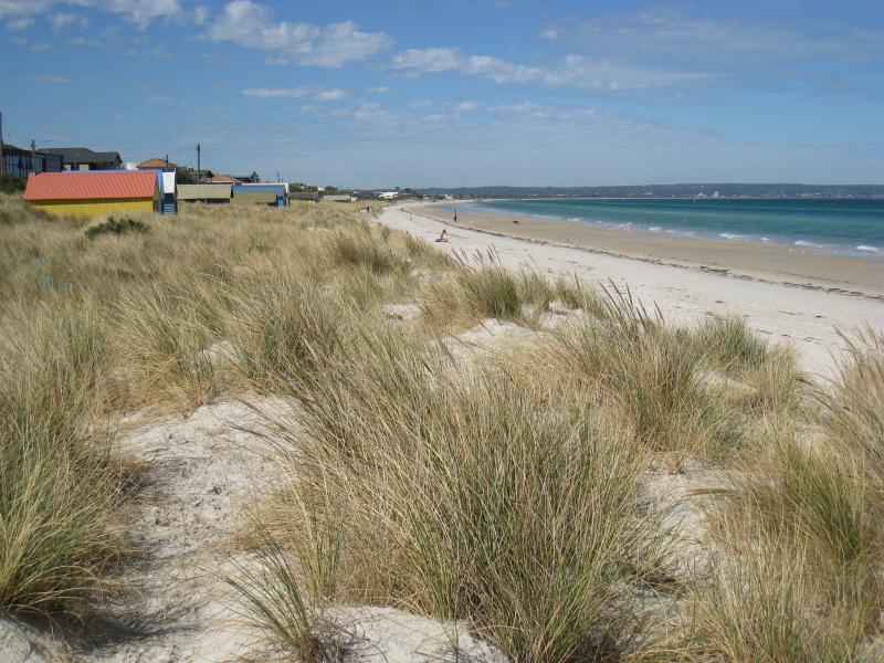
 Shops and commercial centre along Nepean Highway - View south along Nepean Hwy towards The Strand
 Shops and commercial centre along Nepean Highway - View north across The Strand at Nepean Hwy
 Shops and commercial centre along Nepean Highway - View south across The Strand at Nepean Hwy
 Shops and commercial centre along Nepean Highway - View west along Strand near Nepean Hwy
 Shops and commercial centre along Nepean Highway - View south along Nepean Hwy at The Strand
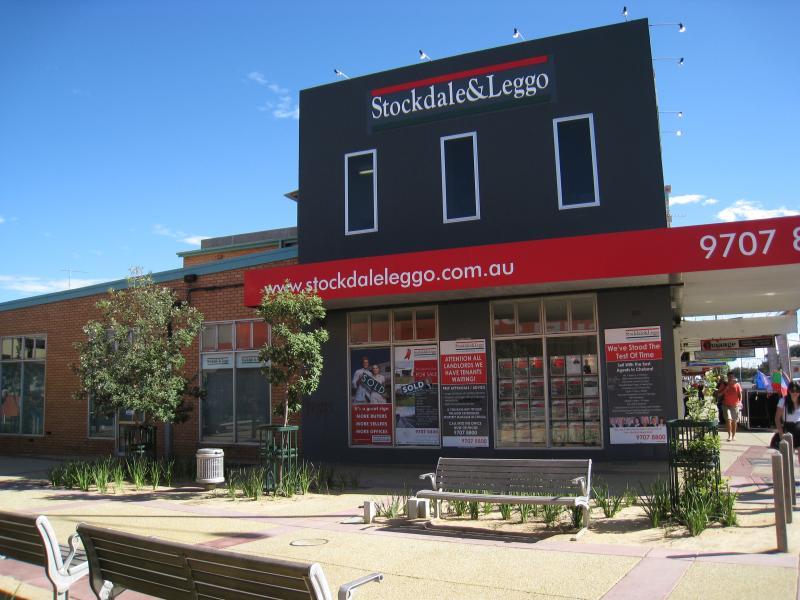
 Shops and commercial centre along Nepean Highway - Shops along west side of Nepean Hwy just south of The Strand
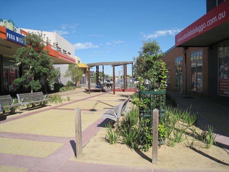
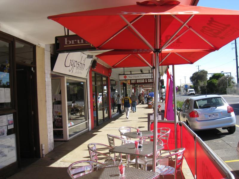 Shops and commercial centre along Nepean Highway - Footpath in front of shops along Nepean Hwy, south of The Strand
 Shops and commercial centre along Nepean Highway - View south along Nepean Hwy, south of The Strand
 Shops and commercial centre along Nepean Highway - Footpath in front of shops along Nepean Hwy, south of The Strand
 Shops and commercial centre along Nepean Highway - View north along Nepean Hwy between Swansea Rd and The Strand
 Shops and commercial centre along Nepean Highway - View south along Nepean Hwy towards Swansea Rd
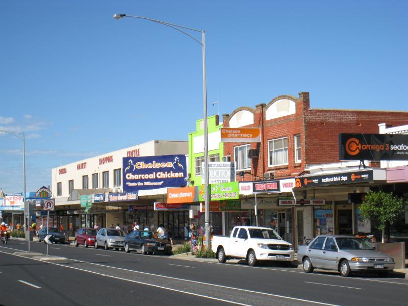
 Shops and commercial centre along Nepean Highway - Chelsea Market Shopping Centre, Nepean Hwy at Swansea Rd
 Shops and commercial centre along Nepean Highway - View south along Nepean Hwy at Swansea Rd
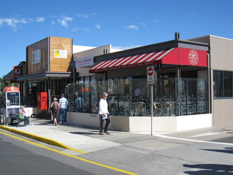 The Strand - View west along The Strand towards post office
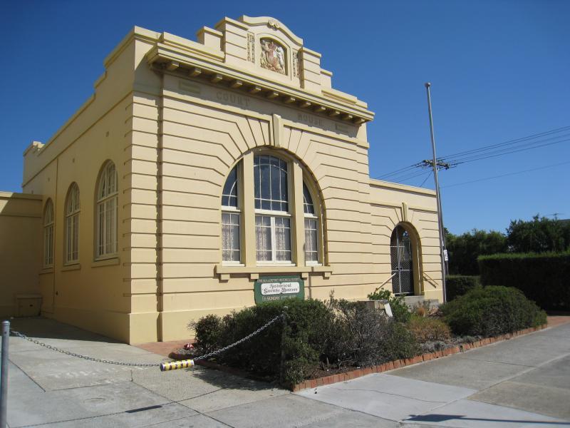 The Strand - Old court house, corner The Strand and Bath St
 The Strand - View west along The Strand at Camp St
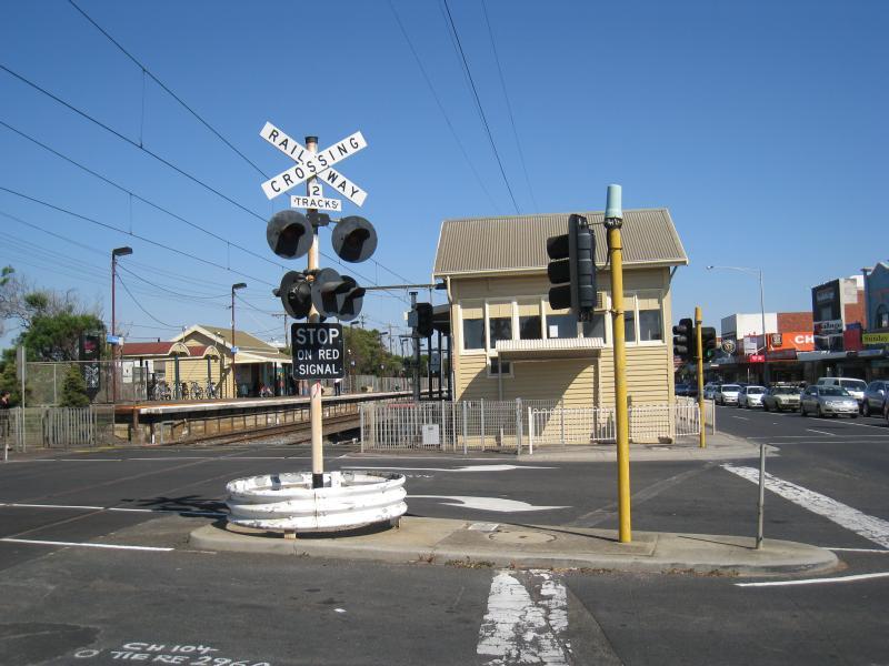 Station Street, railway station and surroundings - View south along railway line towards station at Chelsea Rd crossing
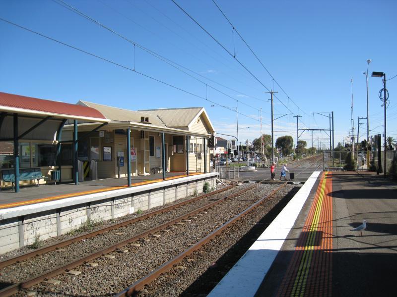 Station Street, railway station and surroundings - View north along railway line from station platform
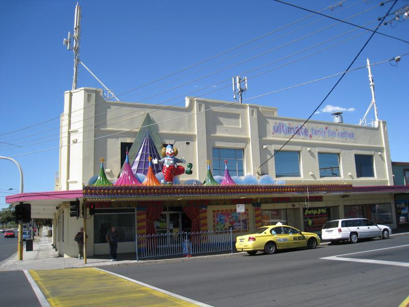 Station Street, railway station and surroundings - Ultimate Family Fun Centre, corner Chelsea Rd and Station St
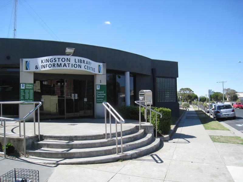 Station Street, railway station and surroundings - Kingston Library & Information Centre, Chelsea Rd near Station St
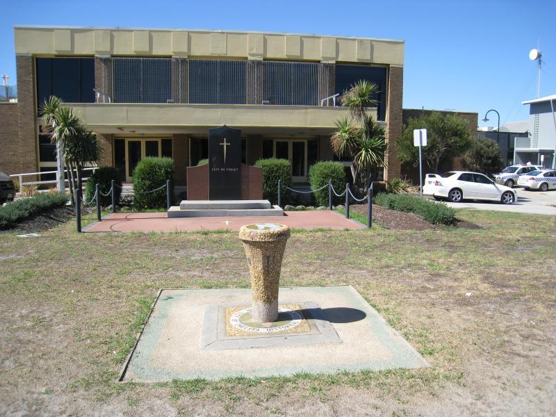 Station Street, railway station and surroundings - Hall, corner Station St and Thames Promenade
 Station Street, railway station and surroundings - Chelsea RSL, Thames Promenade east of Station St
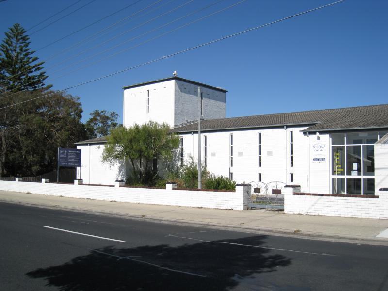 Station Street, railway station and surroundings - St Chad Anglican Church, Thames Promenade east of Station St
 Victory Park, Camp Street - View of park from corner of Camp St and The Strand
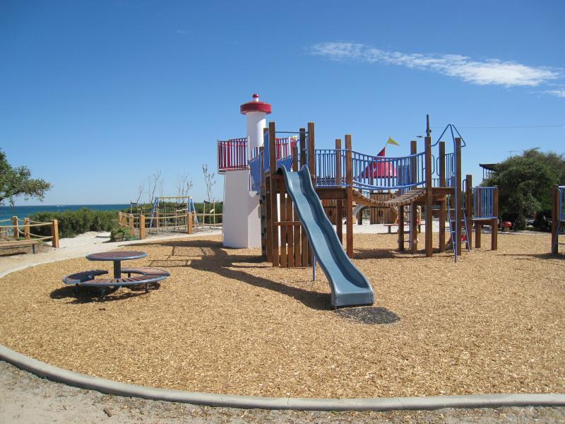 Victory Park, Camp Street - Playground overlooking beach
 Victory Park, Camp Street - View of playground from corner of Camp St and The Beachway
 Beach and foreshore south of pier - View north-west across beach from end of Shenfield Av
 Beach and foreshore south of pier - View south-west across beach from end of Shenfield Av
 Beach and foreshore south of pier - Northerly view along beach
 Beach and foreshore south of pier - Southerly view along beach
 Beach and foreshore south of pier - Southerly view along beach
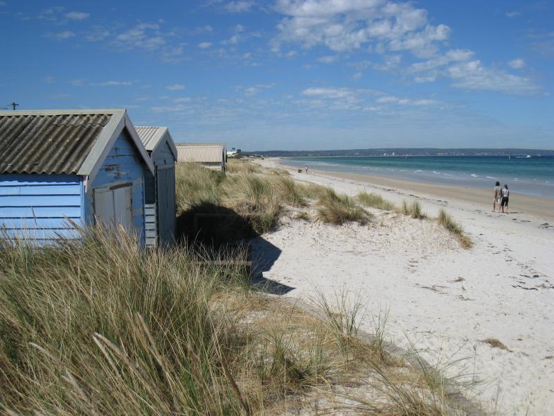
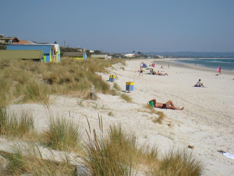
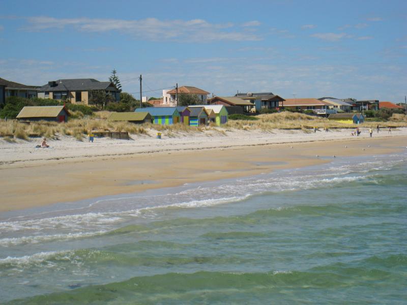
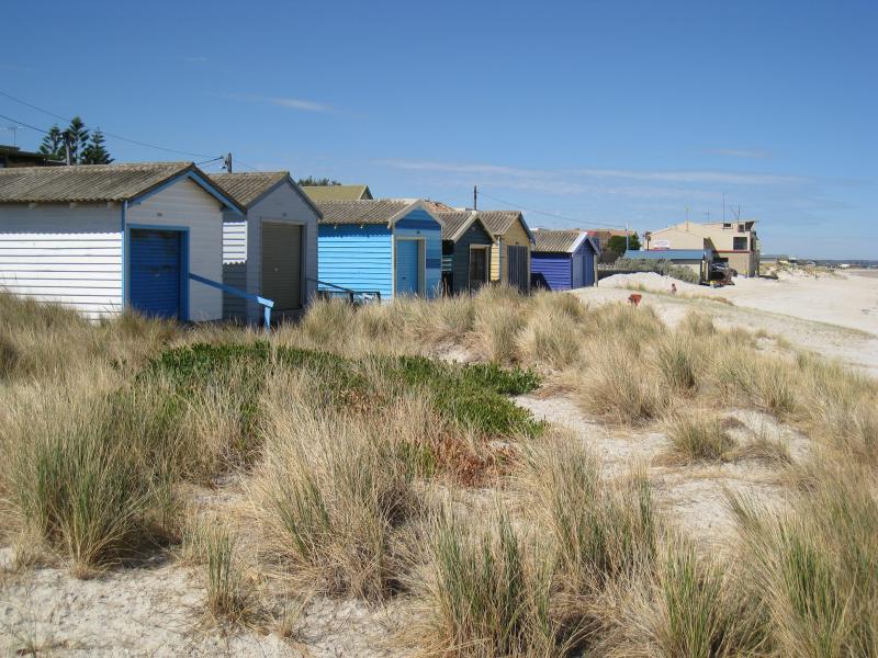
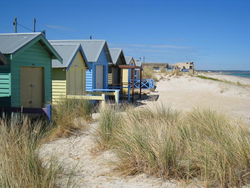
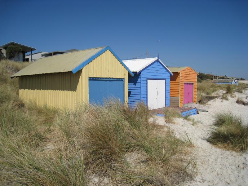 Beach and foreshore south of pier - Bathing boxes on beach
 Beach and foreshore south of pier - Houses overlooking beach
 Beach and foreshore south of pier - Southerly view along beach at bathing boxes
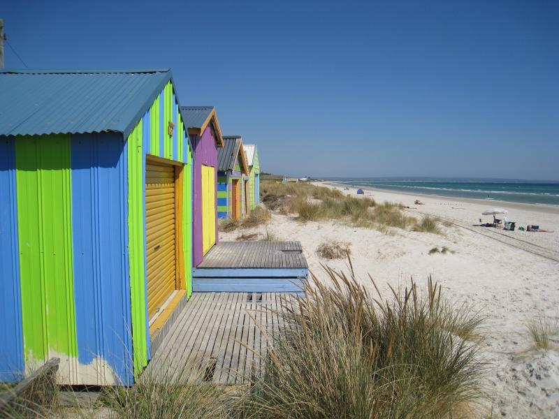
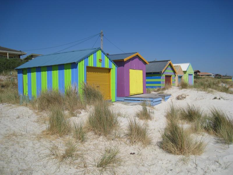 Beach and foreshore south of pier - Colourful bathing boxes on beach
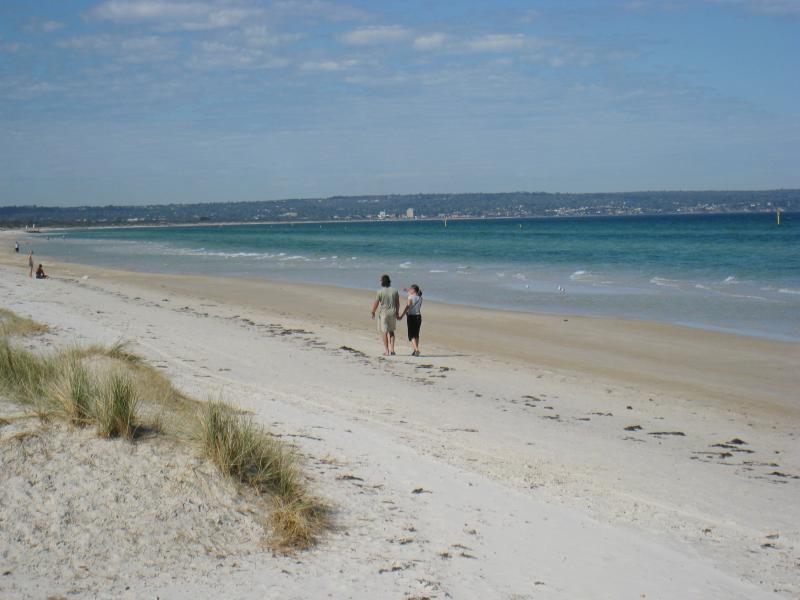
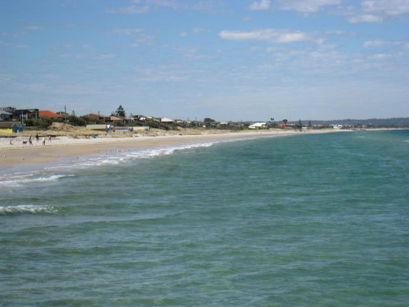
 Beach and foreshore south of pier - View south along beach
 Beach and foreshore south of pier - View north-west across beach towards pier
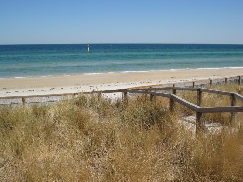
 Beach and foreshore south of pier - View south along beach just south of pier
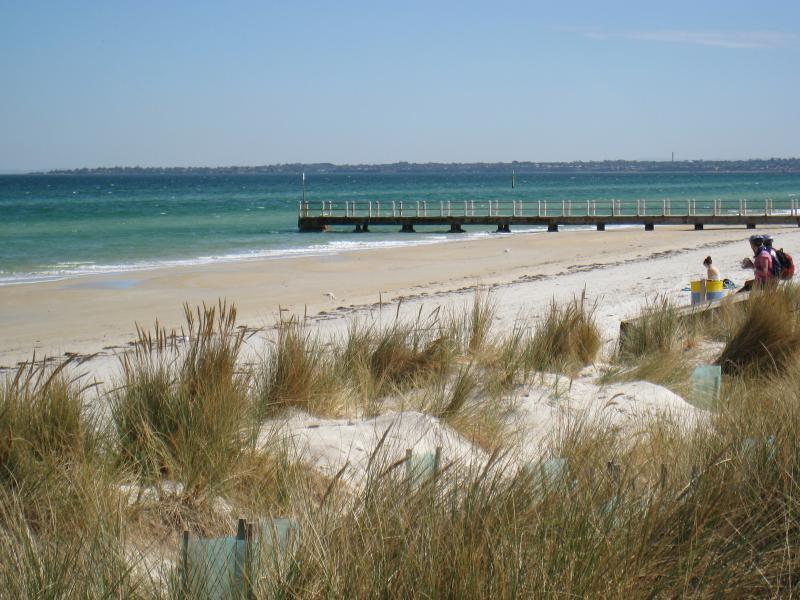
 Beach and foreshore around pier and north of pier - View towards pier from path to beach at end of The Avenue
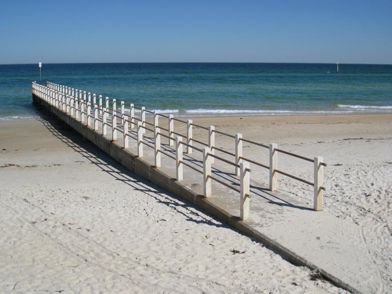 Beach and foreshore around pier and north of pier - Pier
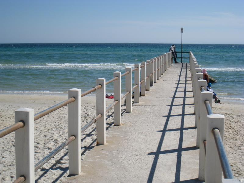 Beach and foreshore around pier and north of pier - View along pier
 Beach and foreshore around pier and north of pier - View south-west towards coast from pier
 Beach and foreshore around pier and north of pier - View south along coast from pier
 Beach and foreshore around pier and north of pier - View south along beach towards pier
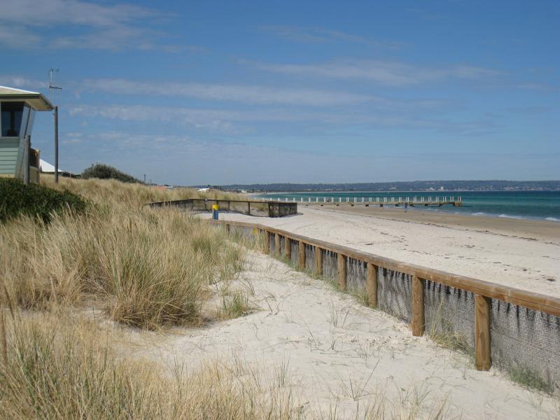
 Beach and foreshore around pier and north of pier - View north-west along foreshore from near pier
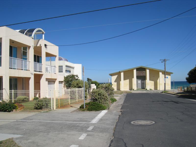
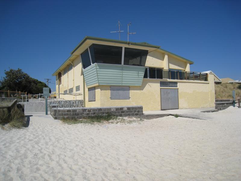
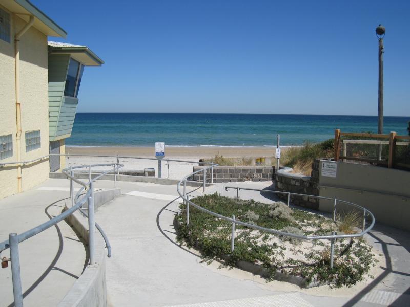 Beach and foreshore around pier and north of pier - View towards beach at surf life saving club at the end of The Strand
 Beach and foreshore around pier and north of pier - Surf life saving club viewed from beach
 Beach and foreshore around pier and north of pier - View south along beach towards surf life saving club and pier
 Beach and foreshore around pier and north of pier - View across beach from foreshore at The Beachway
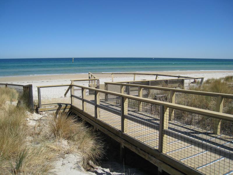
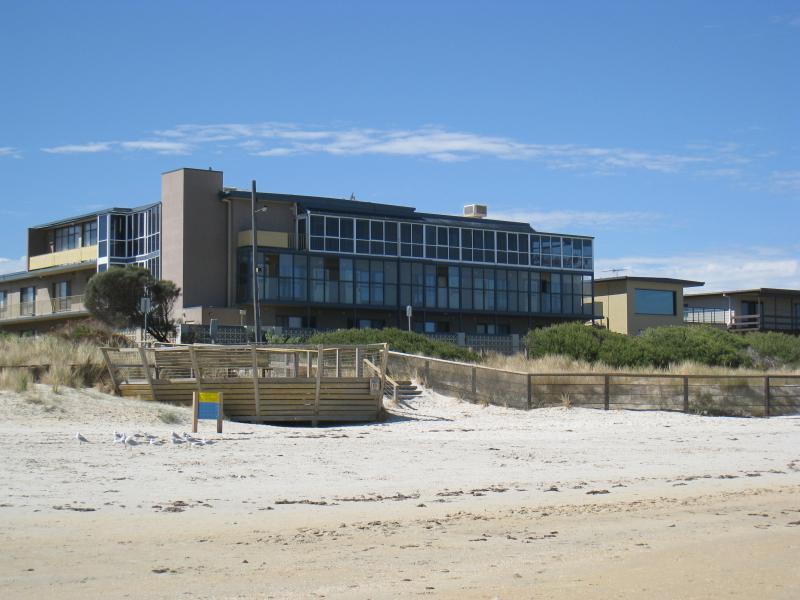 Beach and foreshore around pier and north of pier - View towards viewing platform from beach at end of Avondale Av
 Beach and foreshore around pier and north of pier - View towards viewing platform on foreshore at end of Avondale Av
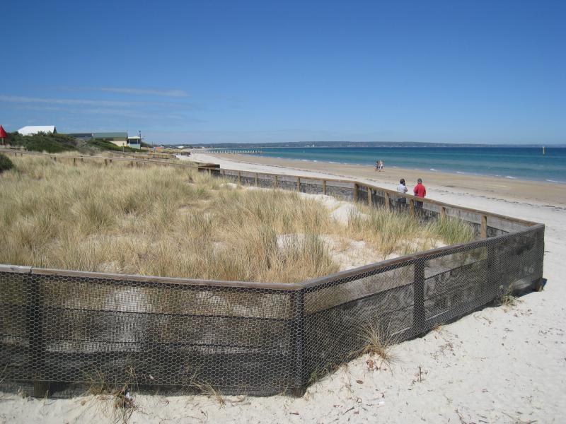 Beach and foreshore around pier and north of pier - View south along beach from viewing platform at end of Avondale Av
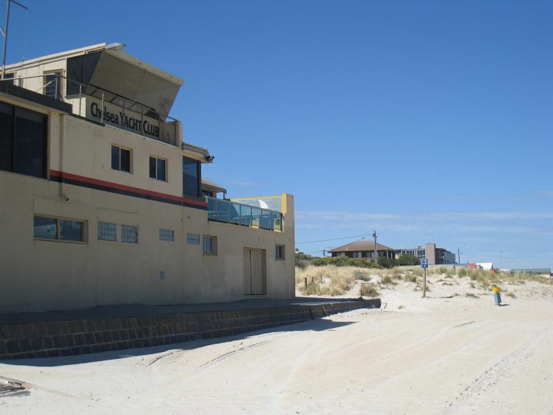 Beach and foreshore around pier and north of pier - View south along beach at Chelsea Yacht Club
 Beach and foreshore around pier and north of pier - Bathing boxes, view south along foreshore towards Chelsea Yacht Club
 Beach and foreshore around pier and north of pier - Bathing boxes, view south along beach towards Chelsea Yacht Club
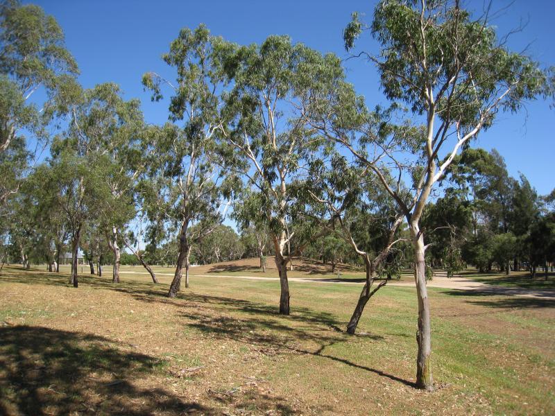
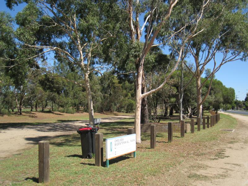 Bicentennial Park - View along pathway parallel to Thames Promenade near baseball field
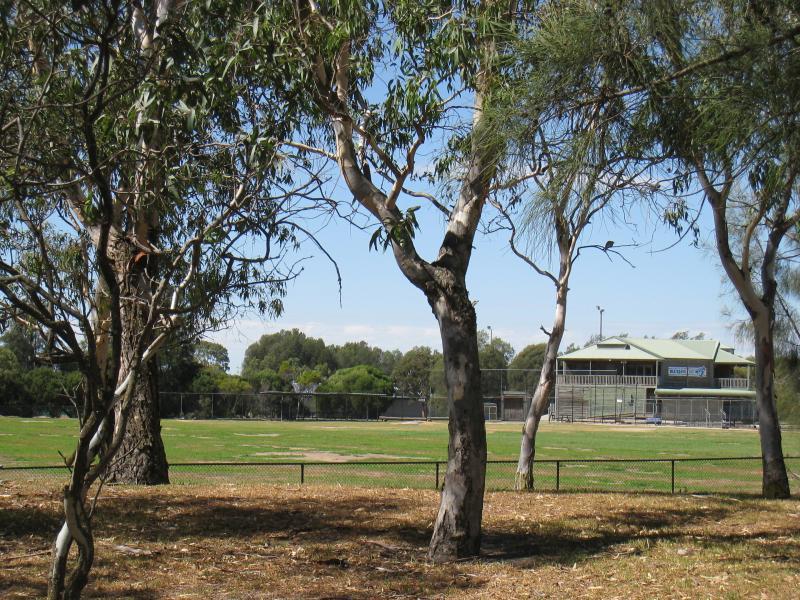 Bicentennial Park - View of baseball field and pavillion
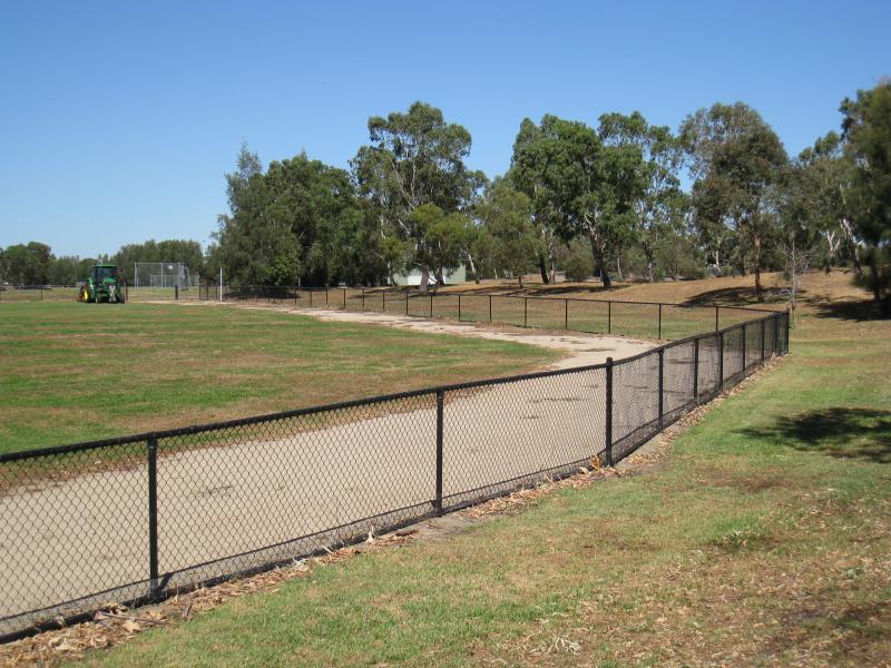 Bicentennial Park - Baseball field
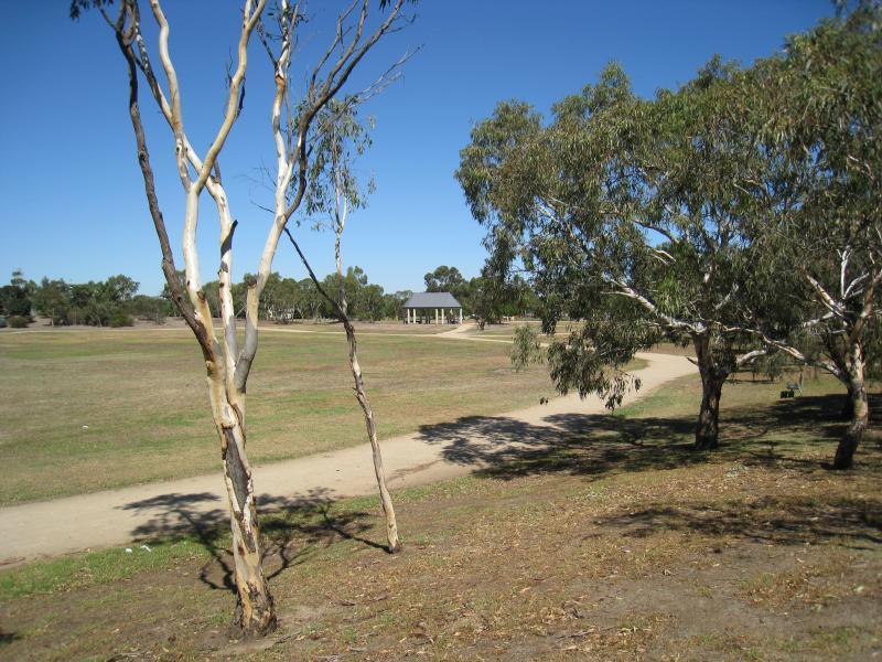
 Bicentennial Park - Pathways through park
 Bicentennial Park - View across central oval
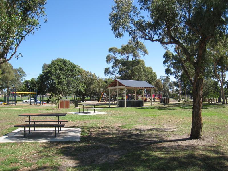
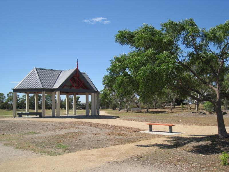 Bicentennial Park - Shelter near central oval
 Bicentennial Park - Southern Poles sound stage
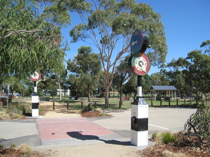
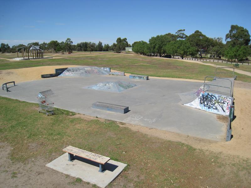 Bicentennial Park - Skate park
 Bicentennial Park - Skate park
 Bicentennial Park - Car park crossing to playground near Scotch Pde
 Bicentennial Park - Picnic areas and playground near Scotch Pde
 Bicentennial Park - Playground near Scotch Pde
 Bicentennial Park - Fields near dog exercise area, southern end of park
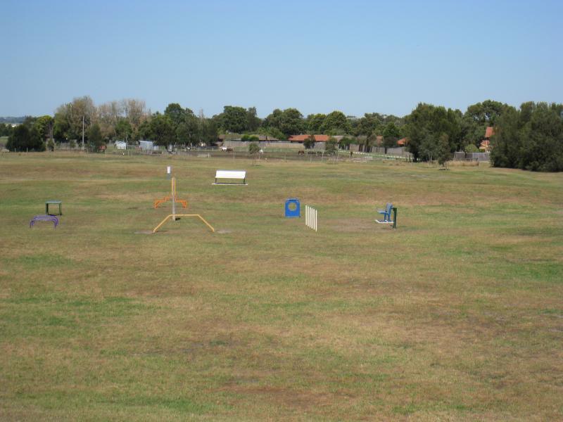 Bicentennial Park - Dog exercise area
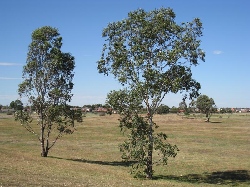 Bicentennial Park - South-easterly view across southern end of park
 Bicentennial Park - Netball courts near southern end of park
 Chelsea Recreation Reserve - View across oval towards pavillion
 Chelsea Recreation Reserve - Edge of oval
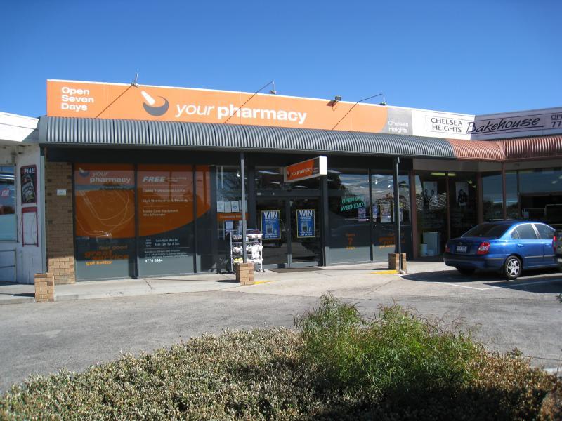
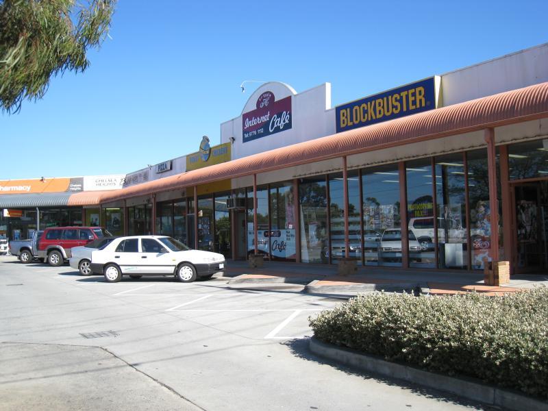 Shops along Thames Promenade, Chelsea Heights - Shops at corner of Thames Promenade and Fifth Av
 Shops along Thames Promenade, Chelsea Heights - Shops at car park facing Thames Promenade
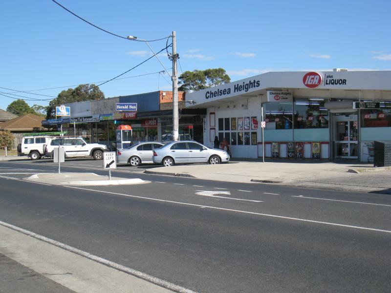 Shops along Thames Promenade, Chelsea Heights - Supermarket and shops near Fourth Av
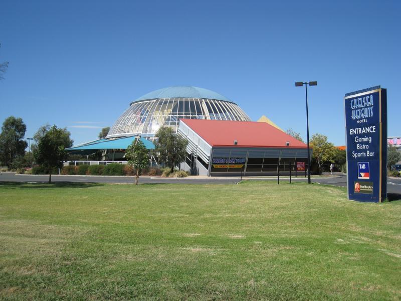 Springvale Road near Wells Road, Chelsea Heights - View of Chelsea Heights Hotel from Springvale Rd
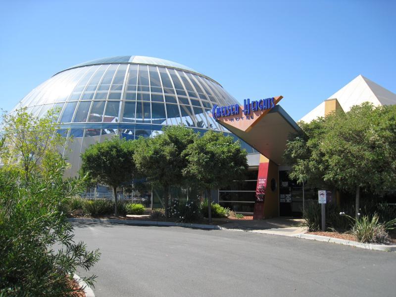 Springvale Road near Wells Road, Chelsea Heights - Entrance to Chelsea Heights Hotel
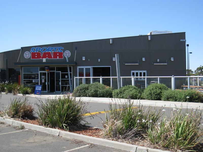 Springvale Road near Wells Road, Chelsea Heights - Sports Bar at Chelsea Heights Hotel
 Springvale Road near Wells Road, Chelsea Heights - Shops and car park near Chelsea Heights Hotel
 Springvale Road near Wells Road, Chelsea Heights - View south-west along Springvale Rd towards Wells Rd
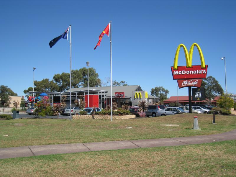 Springvale Road near Wells Road, Chelsea Heights - McDonalds, corner Springvale Rd and Edithvale Rd
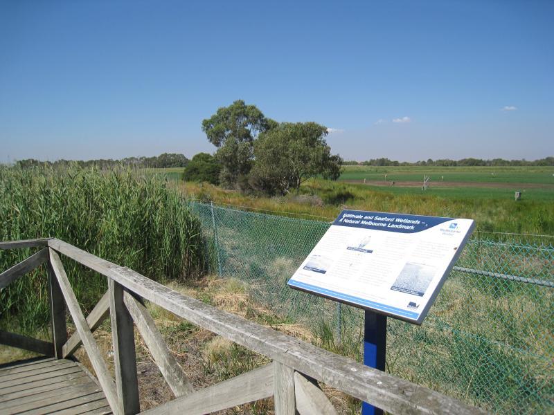 Edithvale - Seaford Wetlands, viewing areas along Edithvale Road - Viewing platform at car park near Secondary Drain
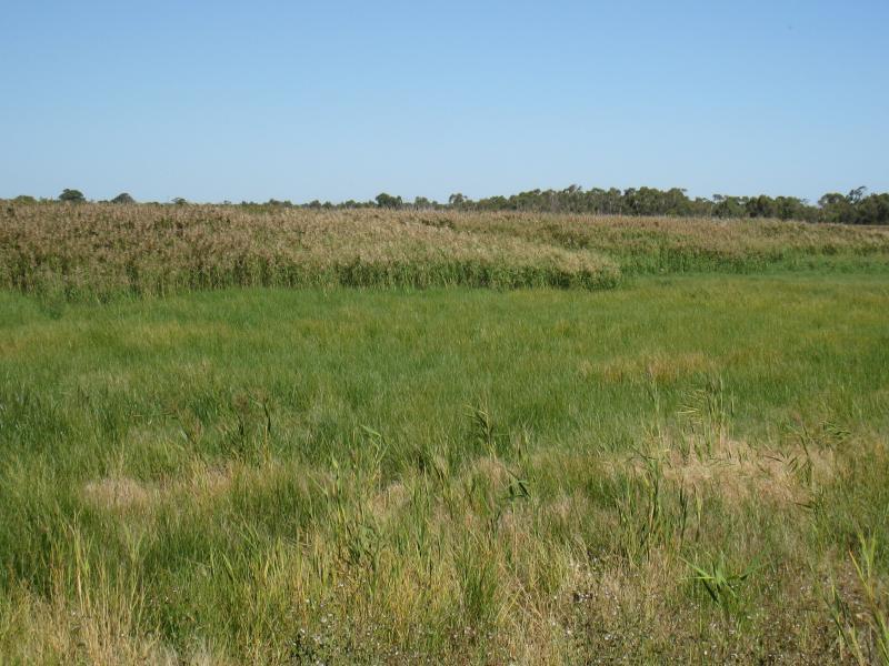
 Edithvale - Seaford Wetlands, viewing areas along Edithvale Road - View across wetlands from viewing platform near Secondary Drain
 Edithvale - Seaford Wetlands, viewing areas along Edithvale Road - View across wetlands from viewing platform near Secondary Drain
 Edithvale - Seaford Wetlands, viewing areas along Edithvale Road - View south-west along Edithvale Rd at entrance to car park near Kestrel Cl
 Edithvale - Seaford Wetlands, viewing areas along Edithvale Road - View across wetlands from viewing platform near Kestrel Cl
 Edithvale - Seaford Wetlands, viewing areas along Edithvale Road - View across wetlands from viewing platform near Kestrel Cl
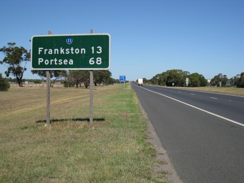 Mornington Peninsula Freeway - View south along freeway between Springvale Rd and Thames Promenade