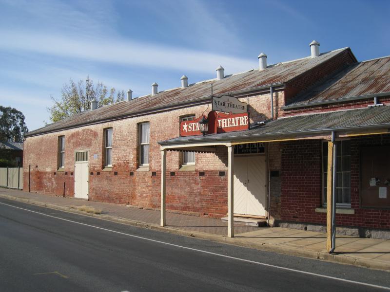
Shops and commercial centre, Conness Street and Main Street - Star Theatre entrance, Main St just north of Conness St
Shops and commercial centre, Conness Street and Main Street - View south along Main St towards Conness St at Star Theatre
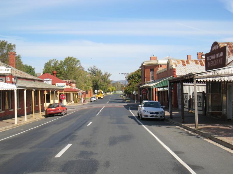
Shops and commercial centre, Conness Street and Main Street - View south along Main St towards Conness St
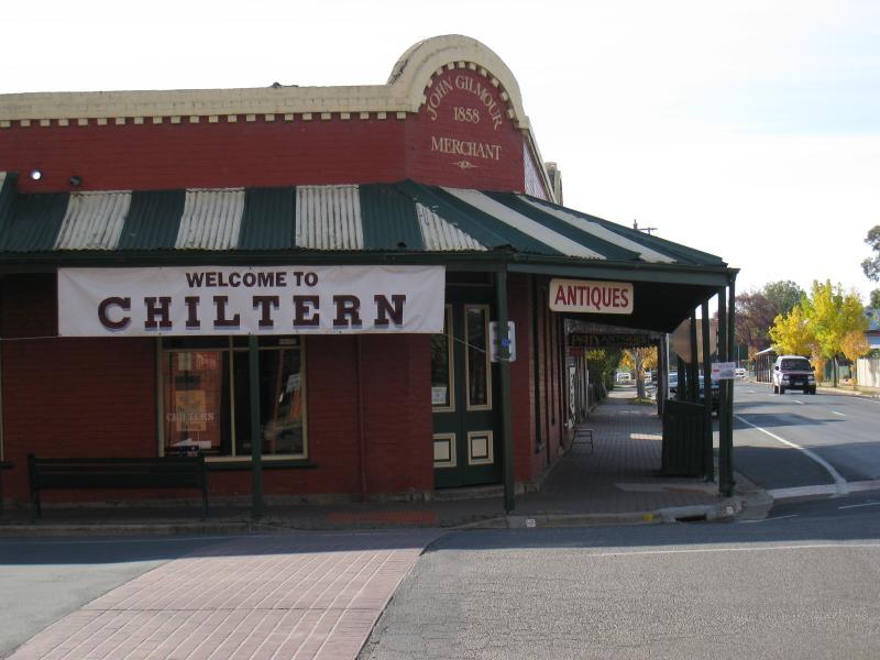
Shops and commercial centre, Conness Street and Main Street - Gilmour Corner Store, view north along Main St at Conness St
Shops and commercial centre, Conness Street and Main Street - View east along Conness St at Main St
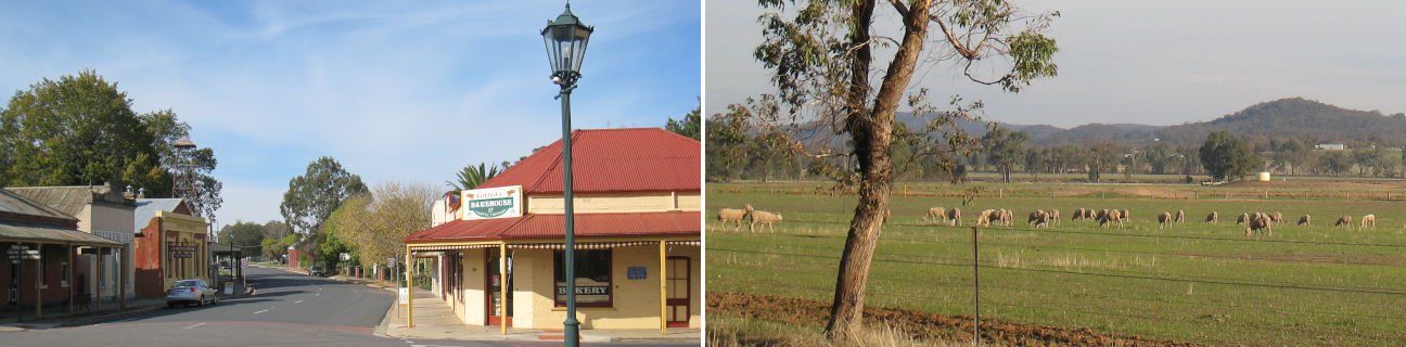
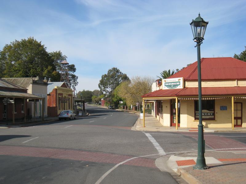
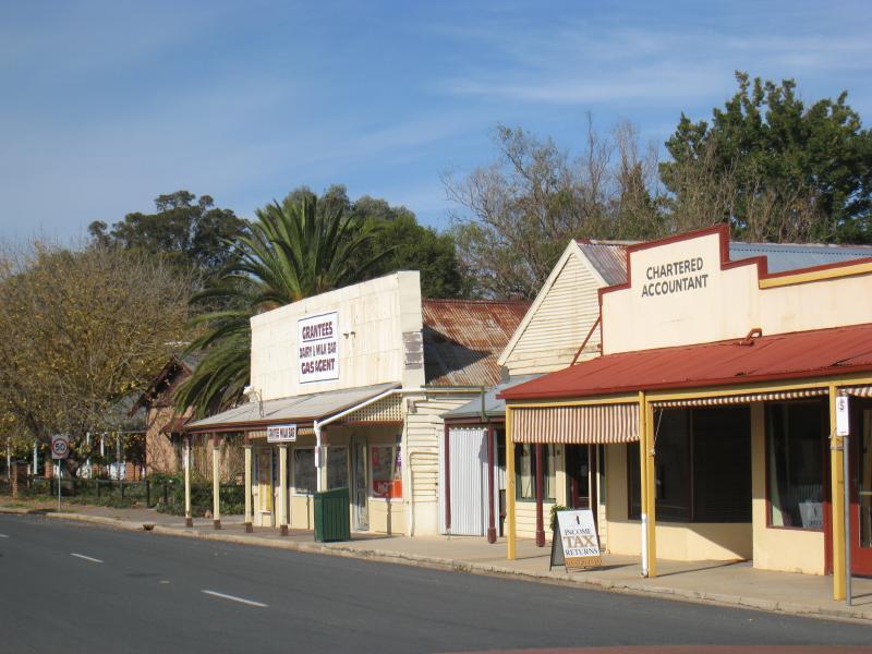
Shops and commercial centre, Conness Street and Main Street - View east along Conness St at Main St towards bakery
Shops and commercial centre, Conness Street and Main Street - View south along Main St just south of Conness St
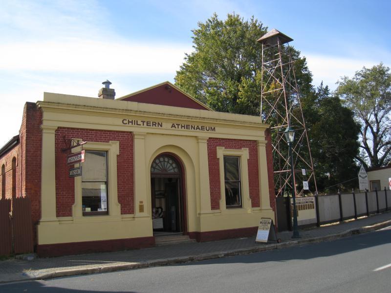
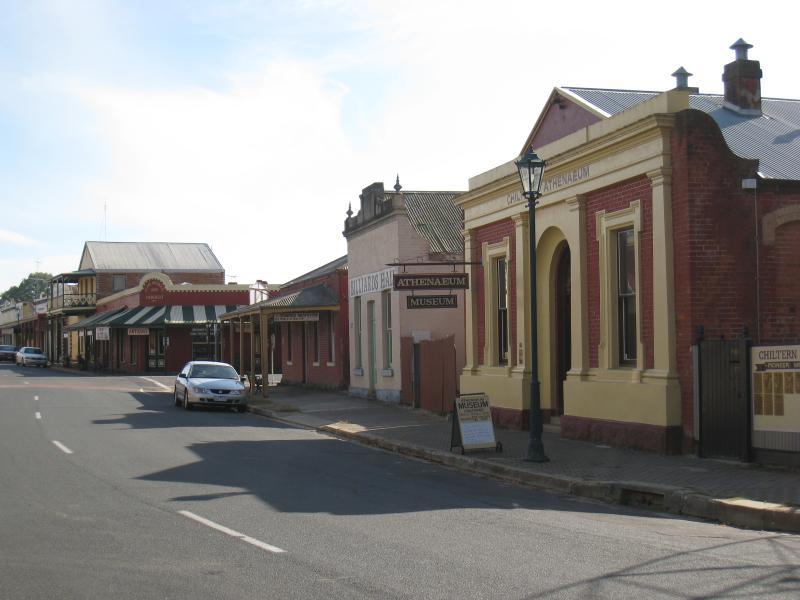
Shops and commercial centre, Conness Street and Main Street - Chiltern Athenaeum, Conness St east of Main St
Shops and commercial centre, Conness Street and Main Street - View west along Conness St towards Main St
Shops and commercial centre, Conness Street and Main Street - View east along Conness St east of Main St
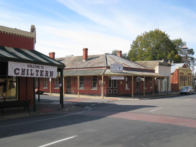
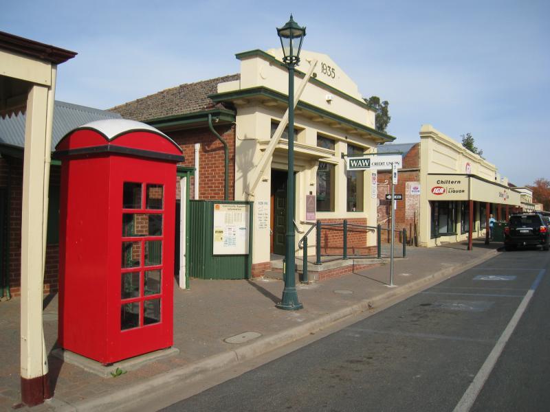
Shops and commercial centre, Conness Street and Main Street - Junction of Conness St and Main St
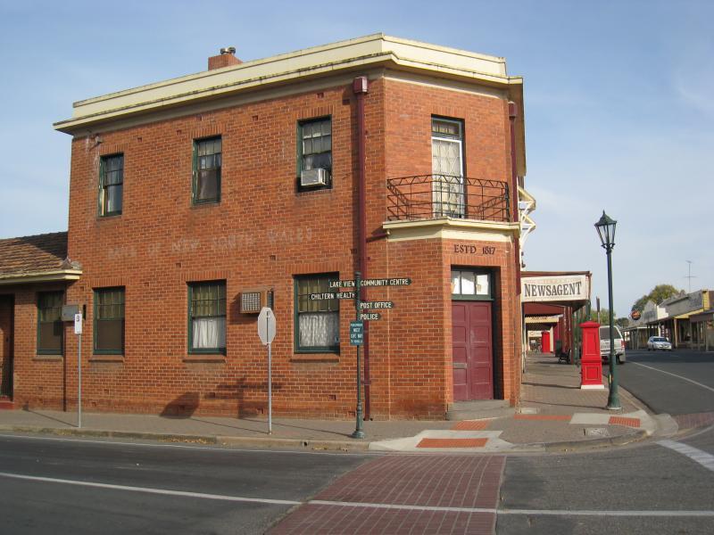
Shops and commercial centre, Conness Street and Main Street - Former Bank of New South Wales, view west along Conness St at Main St
Shops and commercial centre, Conness Street and Main Street - View west along Conness St at Main St
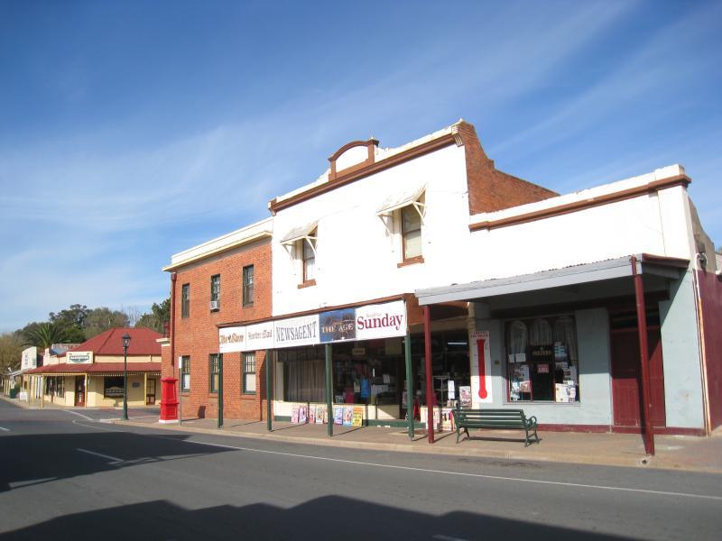
Shops and commercial centre, Conness Street and Main Street - Newsagent, view east along Conness St towards Main St
Shops and commercial centre, Conness Street and Main Street - View west along Conness St towards newsagent and Ironbark Tavern
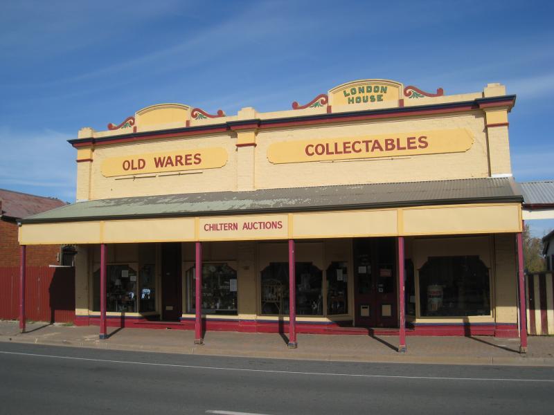
Shops and commercial centre, Conness Street and Main Street - Chiltern Auctions, Conness St west of Main St
Shops and commercial centre, Conness Street and Main Street - View east along Conness St towards Ironbark Tavern
Shops and commercial centre, Conness Street and Main Street - Dow's Pharmacy, Conness St west of Main St
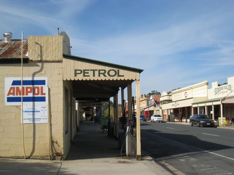
Shops and commercial centre, Conness Street and Main Street - View west along Conness St west of Main St
Shops and commercial centre, Conness Street and Main Street - View east along Conness St west of Main St
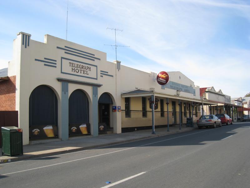
Shops and commercial centre, Conness Street and Main Street - Telegraph Hotel, view east along Conness St
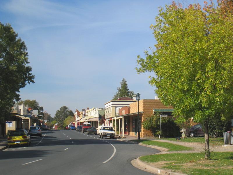
Shops and commercial centre, Conness Street and Main Street - View west along Conness St
Shops and commercial centre, Conness Street and Main Street - View east along Conness St
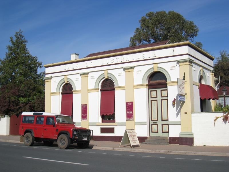
Shops and commercial centre, Conness Street and Main Street - Former Bank of Australasia, Conness St west of Main St
Shops and commercial centre, Conness Street and Main Street - View east along Conness St at Gleeson St
Shops and commercial centre, Conness Street and Main Street - Gardens at war memorial, corner Conness St and Gleeson St
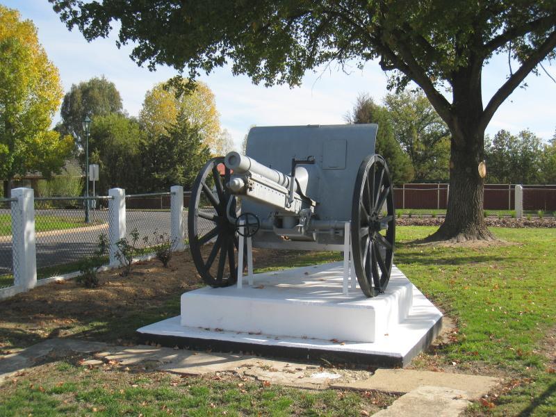
Shops and commercial centre, Conness Street and Main Street - Cannon at war memorial, Conness St between Gleeson St and Epsom Rd
Main Street between High Street / Crawford Street and Reid Street - View south along Main St at Crawford St
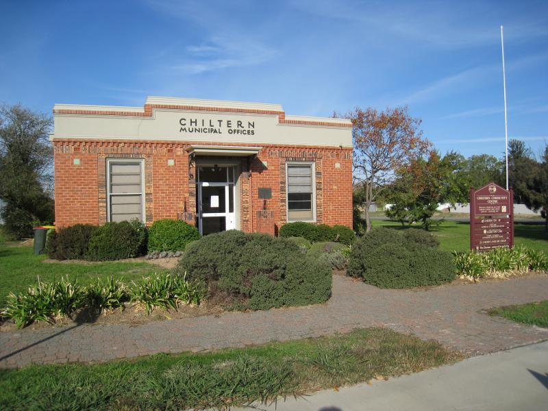
Main Street between High Street / Crawford Street and Reid Street - Chiltern Community Centre (former municipal offices), corner Main St and Crawford St
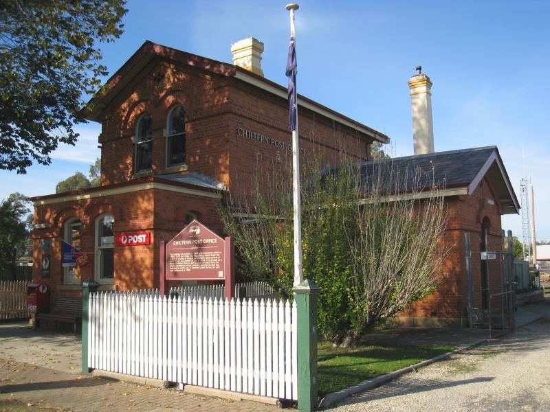
Main Street between High Street / Crawford Street and Reid Street - Chiltern post office
Main Street between High Street / Crawford Street and Reid Street - Former court house
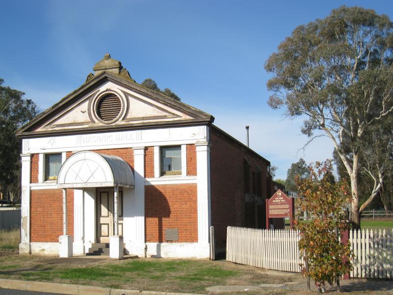
Main Street between High Street / Crawford Street and Reid Street - Masonic hall
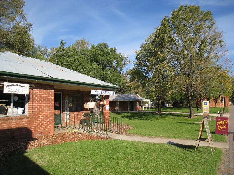
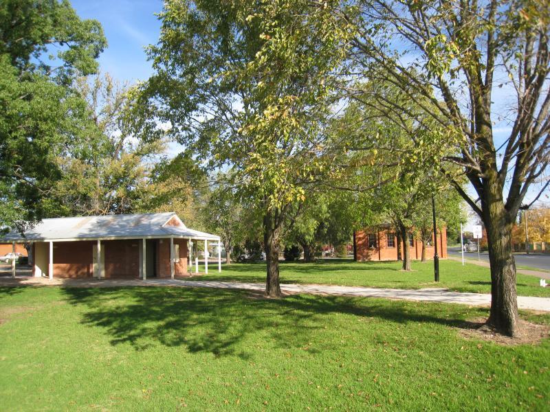
Main Street south of Conness Street - Information centre just south of Conness St
Main Street south of Conness Street - Gardens between Conness St and Alliance St
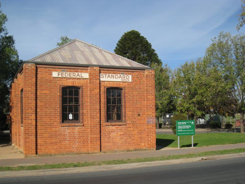
Main Street south of Conness Street - Former office of Federal Standard Newspaper, near corner of Main St and Alliance St
Main Street south of Conness Street - View south along Main St towards Alliance St
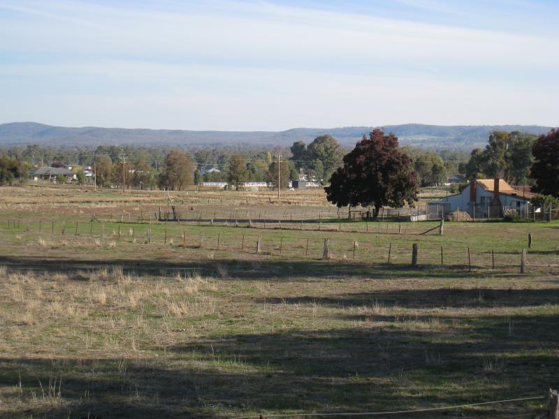
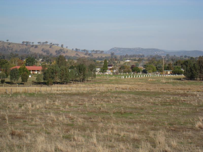
Main Street south of Conness Street - View south along Main St towards Hume Freeway
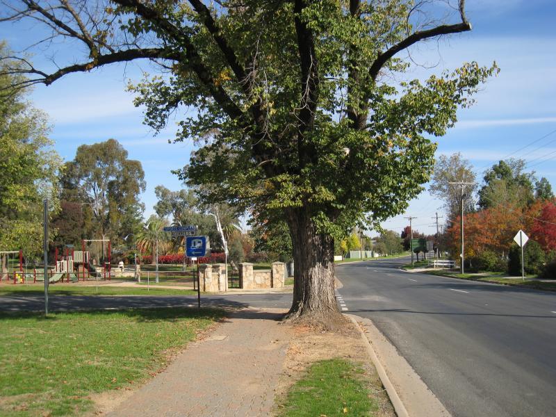
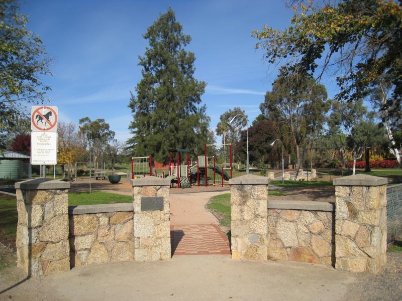
Martin Park, corner Main Street and Alliance Street - Entrance to park, corner Main St and Alliance St
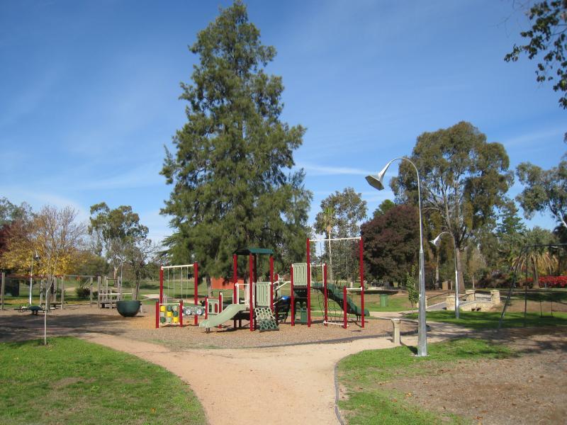
Martin Park, corner Main Street and Alliance Street - Playground
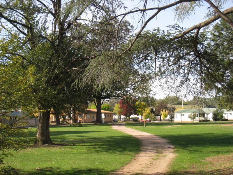
Martin Park, corner Main Street and Alliance Street - View south through park
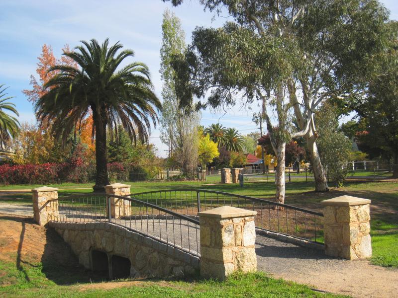
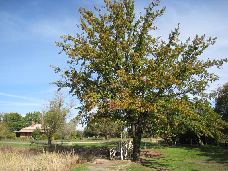
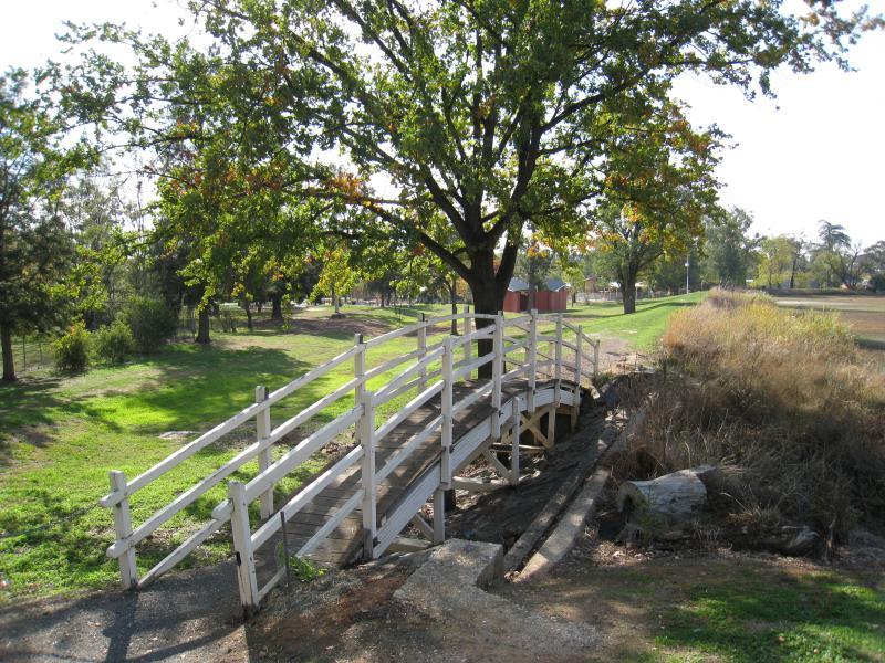
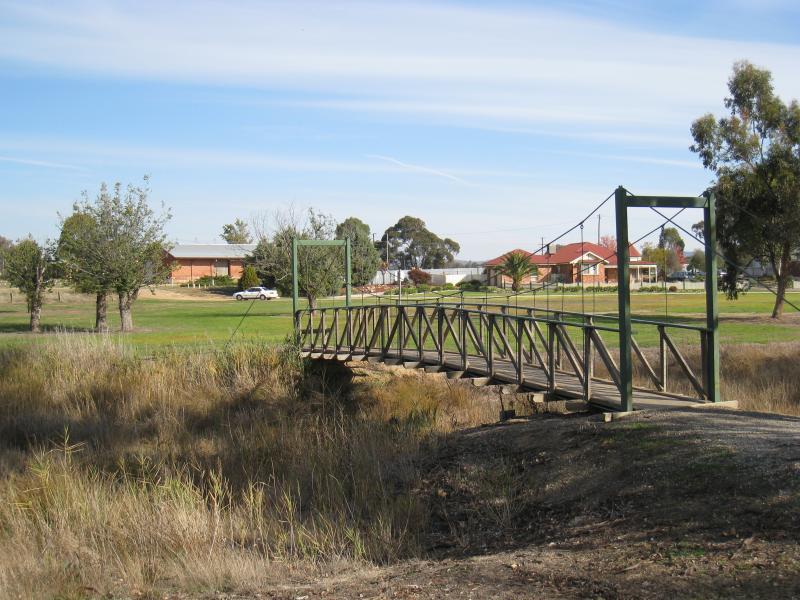
Martin Park, corner Main Street and Alliance Street - Footbridge and Lakeside Music Bowl
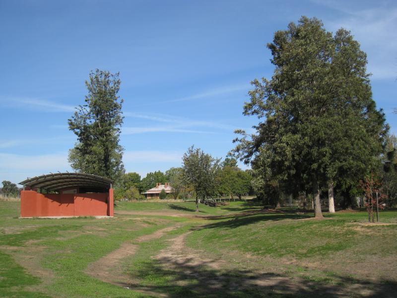
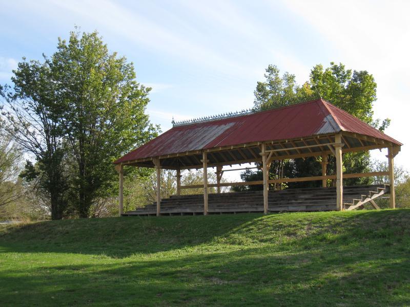
Martin Park, corner Main Street and Alliance Street - Lakeside Music Bowl
Martin Park, corner Main Street and Alliance Street - Path near pool
Martin Park, corner Main Street and Alliance Street - Entrance to pool
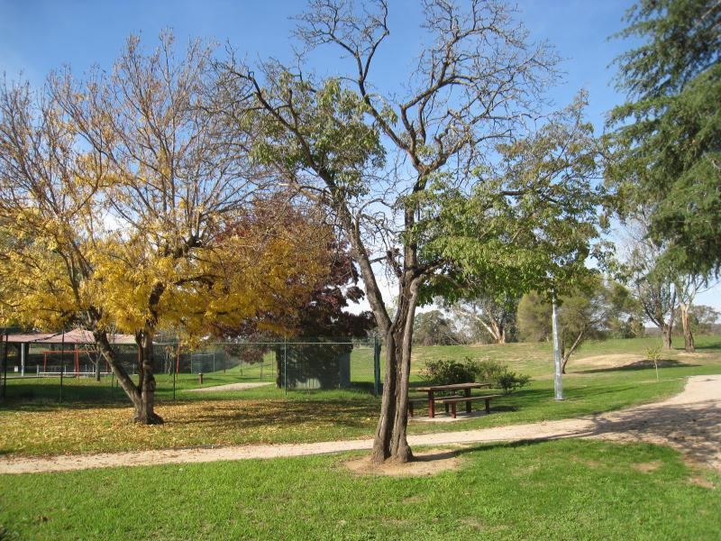
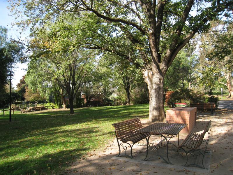
Martin Park, corner Main Street and Alliance Street - BBQ and picnic area near pool entrance
Lake Anderson and surrounding parkland - View through park along western side of lake
Lake Anderson and surrounding parkland - Footbridge at south-western corner of lake
Lake Anderson and surrounding parkland - View east along southern side of lake
Lake Anderson and surrounding parkland - View east along lake from footbridge near south-eastern end
Lake Anderson and surrounding parkland - View south across footbridge near south-eastern end of lake towards railway station
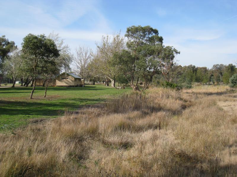
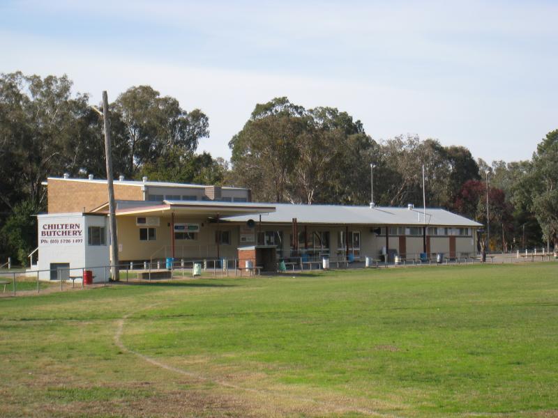
Lake Anderson and surrounding parkland - Pavillion at sports oval
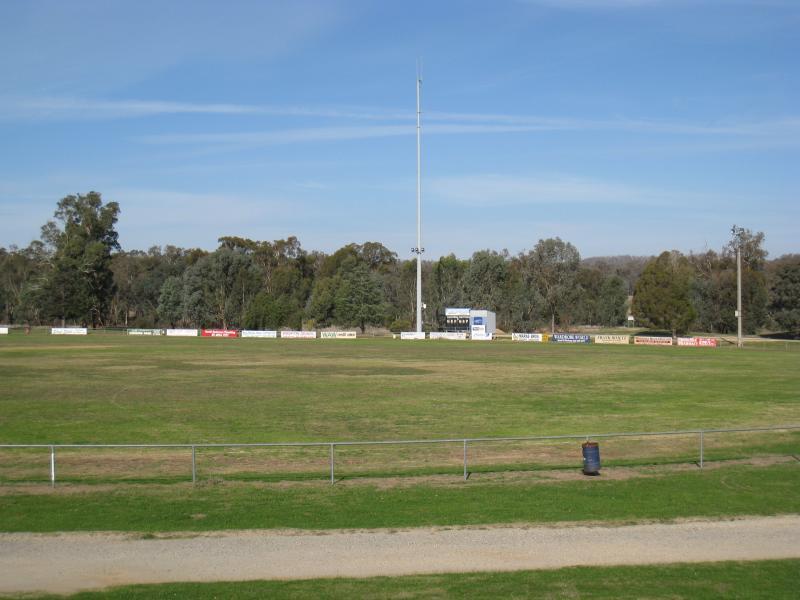
Lake Anderson and surrounding parkland - View across sports oval
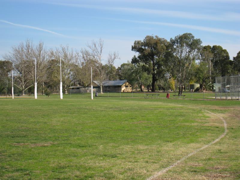
Lake Anderson and surrounding parkland - View across sports oval towards scouts hall
Lake Anderson and surrounding parkland - Grandstand overlooking sports oval
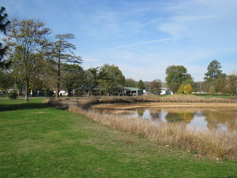
Lake Anderson and surrounding parkland - View south along eastern side of lake
Lake Anderson and surrounding parkland - View across lake towards caravan park
Lake Anderson and surrounding parkland - View through parkland near caravan park
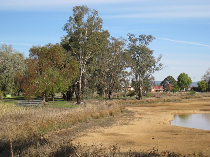
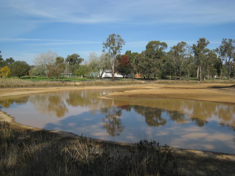
Lake Anderson and surrounding parkland - View south-east across lake from its northern side
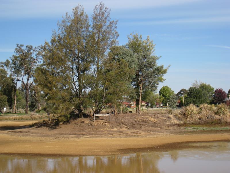
Lake Anderson and surrounding parkland - View of Kirkwood Island from northern side of lake
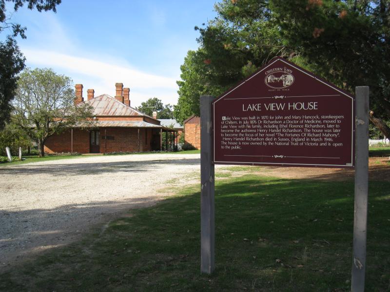
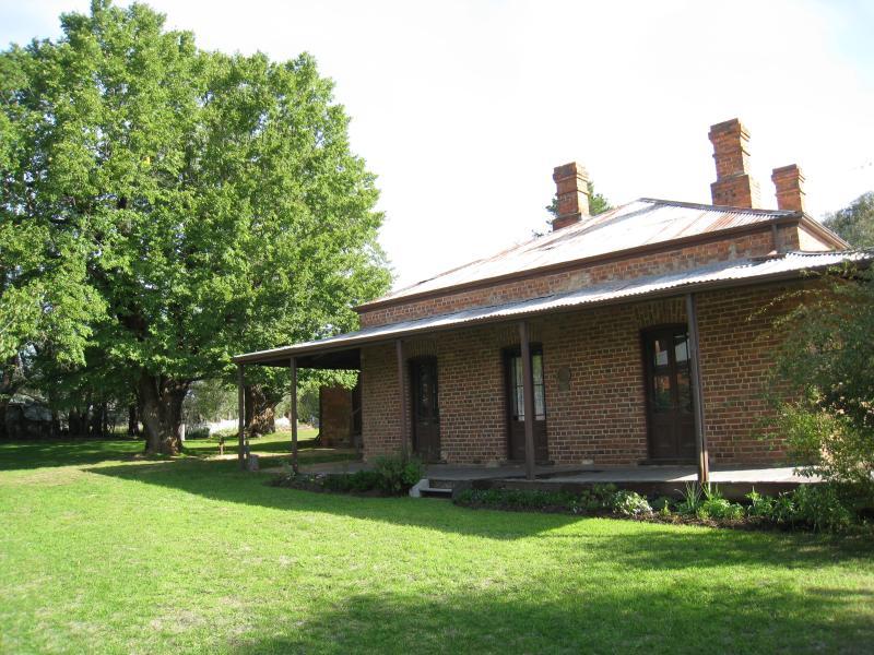
Lake View House, corner Victoria Street and Wills Street - Entrance to house
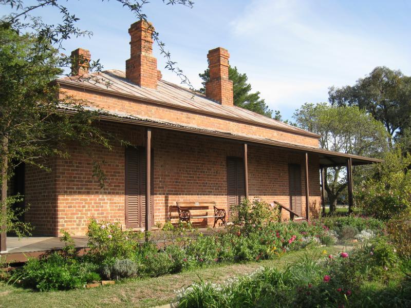
Lake View House, corner Victoria Street and Wills Street - House and front garden
Lake View House, corner Victoria Street and Wills Street - House and rear garden
Lake View House, corner Victoria Street and Wills Street - House and rear garden
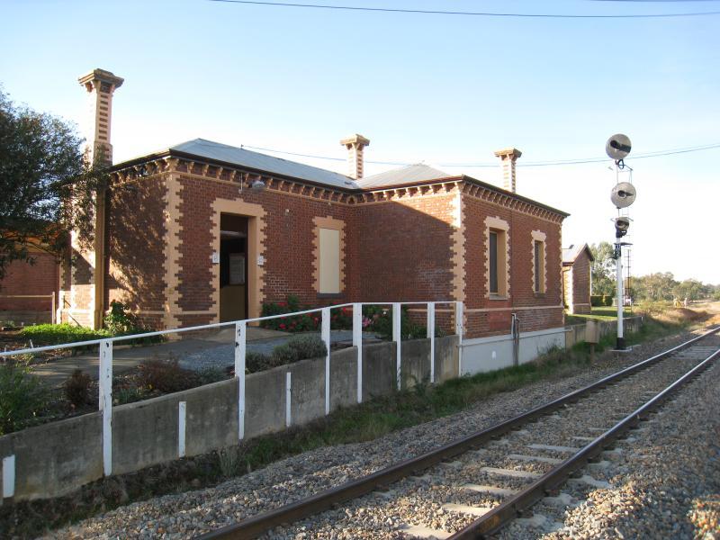
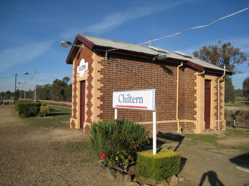
Chiltern railway station, Wills Street - View of station from south side
Chiltern railway station, Wills Street - View towards station and platform
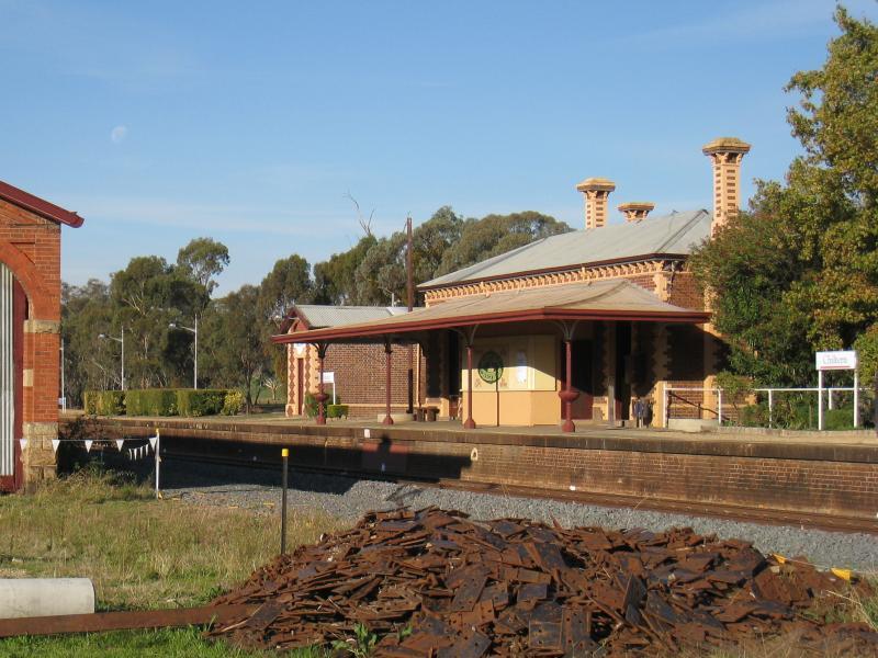
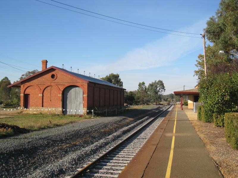
Chiltern railway station, Wills Street - View east along platform towards station
Chiltern railway station, Wills Street - Station platform
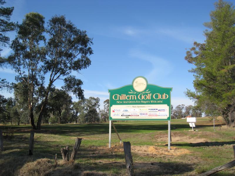
Howlong Road, north end of town - Golf club, corner Howlong Rd and North Rd
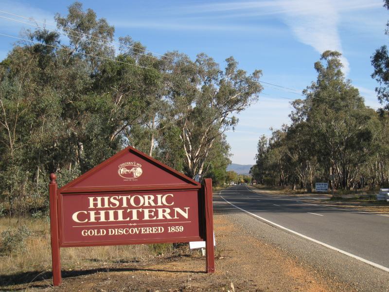
Howlong Road, north end of town - Chiltern town sign, view south along Howlong Rd towards Albert St
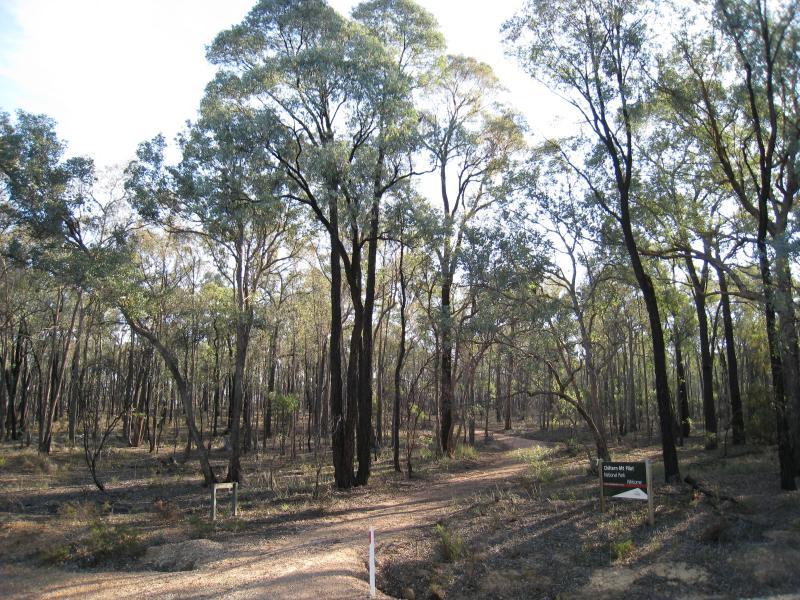
Howlong Road, north end of town - An entrance to Chiltern Mt Pilot National Park, Howlong Rd at Varnish Track
Rutherglen Road (North Road section), north-west end of town - South-west view
Rutherglen Road (North Road section), north-west end of town - South view
Rutherglen Road (North Road section), north-west end of town - South-east view
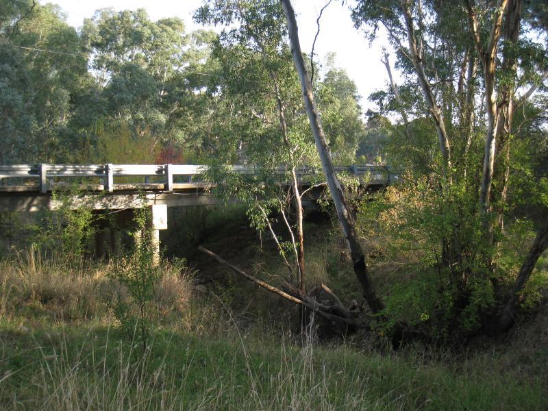
Black Dog Creek, Bridge Street - Dillons Bridge over Black Dog Creek
Black Dog Creek, Bridge Street - Black Dog Creek at Dillons Bridge
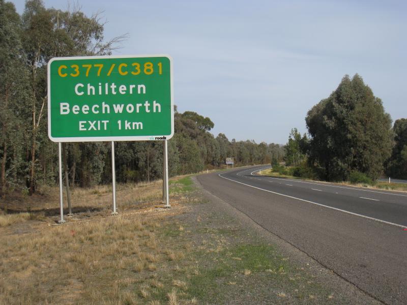
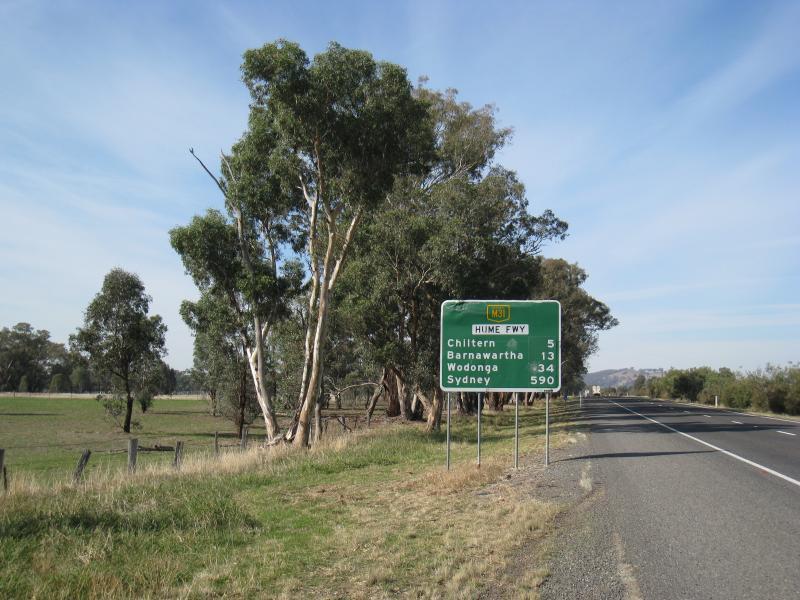
Hume Freeway near Chiltern - View south-west along Hume Fwy, 1 km from Chiltern exit
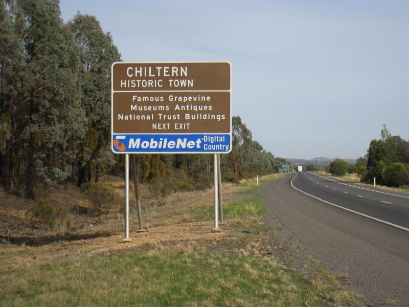
Hume Freeway near Chiltern - Town information sign, view south-west along Hume Fwy towards Chiltern exit
Hume Freeway near Chiltern - View east along Hume Fwy east of Wenkes Rd, 5 km from Chiltern
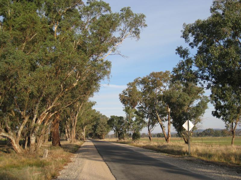
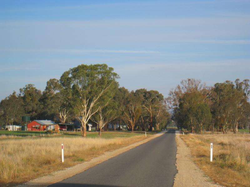
Chiltern Valley Road - View south-east along Chiltern Valley Rd, 1.5 km from Wenkes Rd
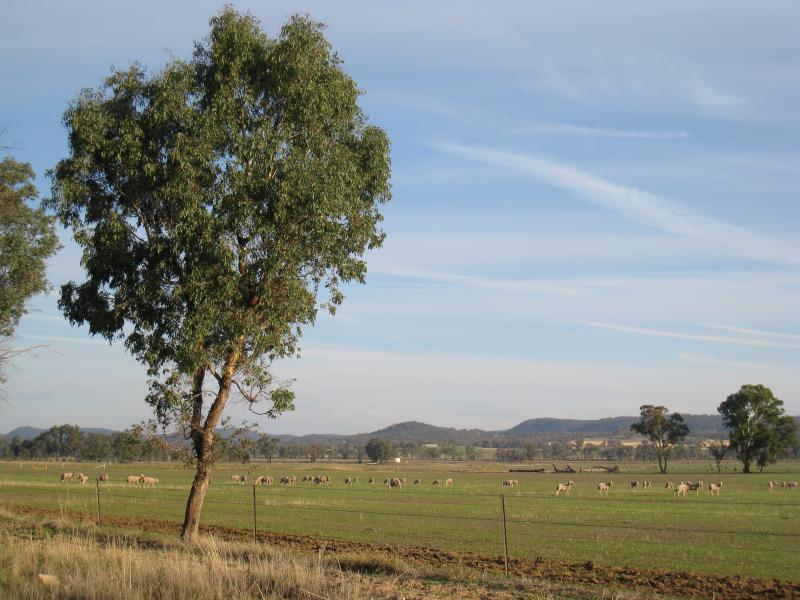
Chiltern Valley Road - Southerly view towards grazing sheep, 1.5 km from Wenkes Rd
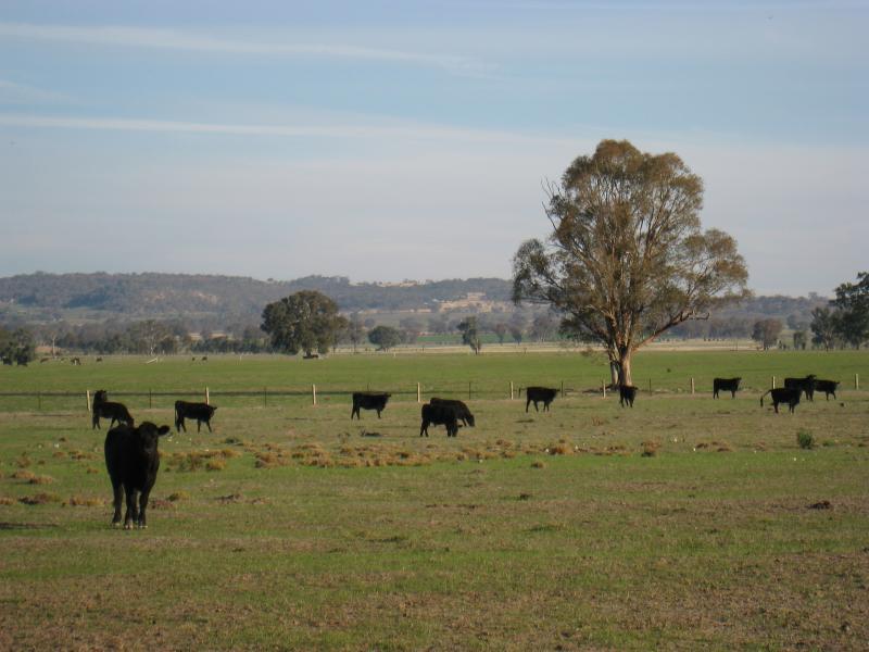
Chiltern Valley Road - Cows grazing, south side of road, 4 km from Wenkes Rd
Chiltern Valley Road - Cows grazing, south side of road, 4 km from Wenkes Rd
Chiltern Valley Road - View south-east along Chiltern Valley Rd near Bests Rd
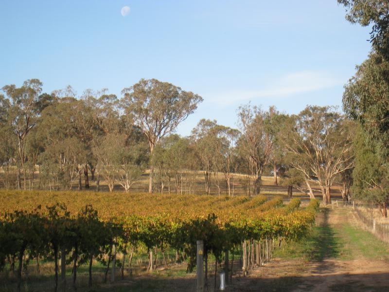
Chiltern Valley Road - Vineyard, corner Chiltern Valley Rd and Bests Rd
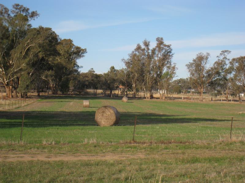
Chiltern Valley Road - North side of Chiltern Valley Rd near Bests Rd