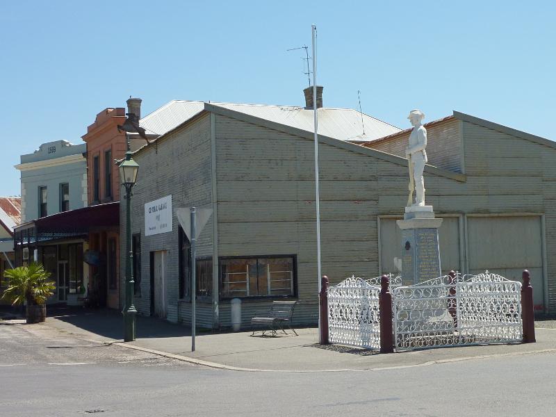
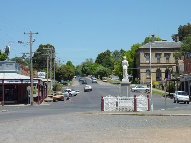
Shops and commercial centre, Fraser Street between Service Street and Templeton Street - Central Garage and war memorial, view west along Fraser St at Service St
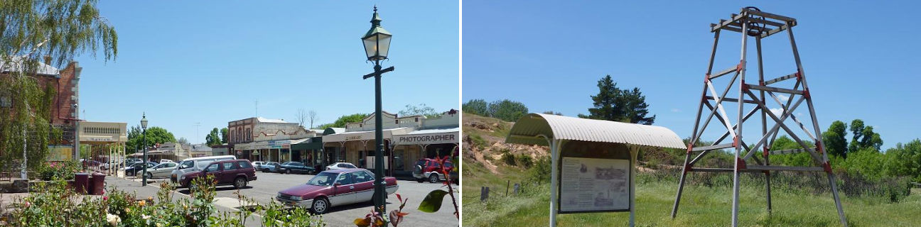
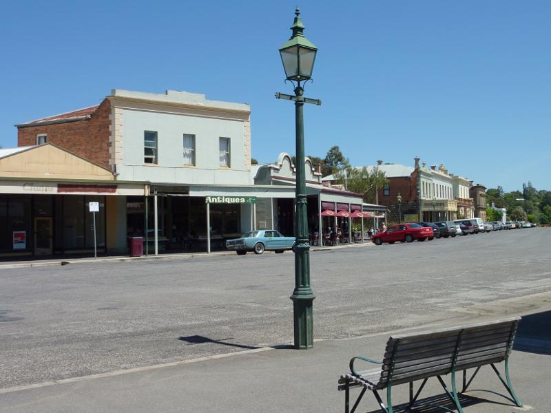
Shops and commercial centre, Fraser Street between Service Street and Templeton Street - View west along Fraser St at Service St
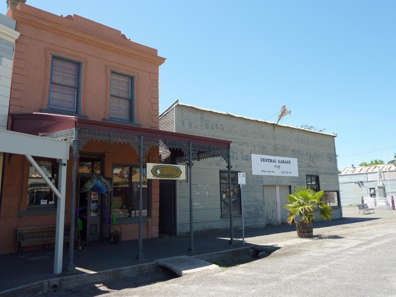
Shops and commercial centre, Fraser Street between Service Street and Templeton Street - Shops and Central Garage, north side of Fraser St at Service St
Shops and commercial centre, Fraser Street between Service Street and Templeton Street - Shops along south side of Fraser St
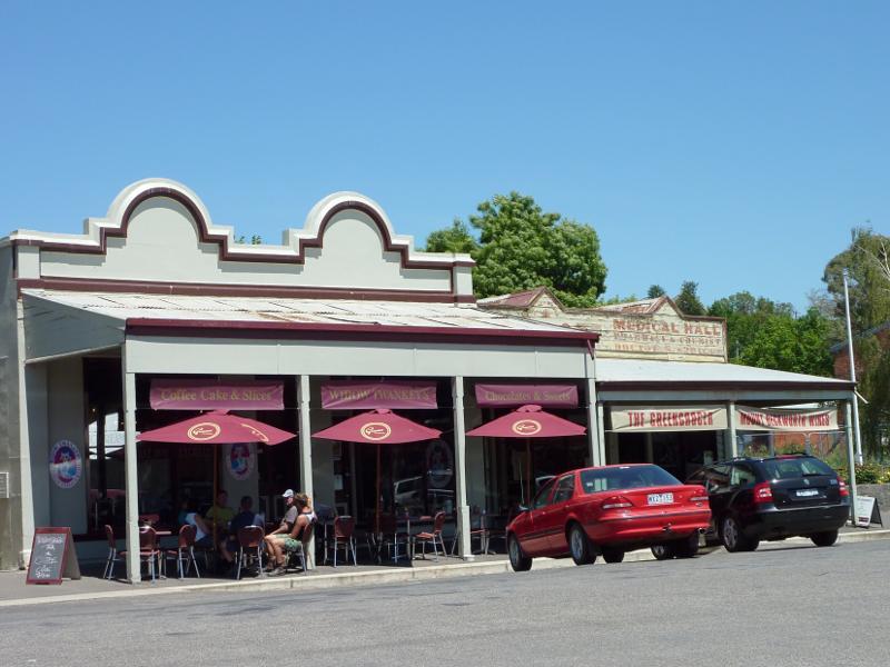
Shops and commercial centre, Fraser Street between Service Street and Templeton Street - Cafe, south side of Fraser St
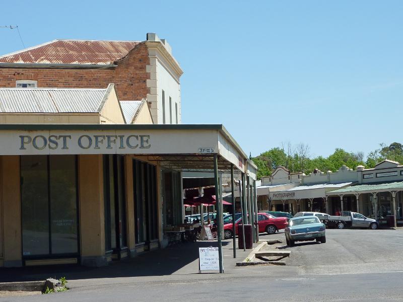
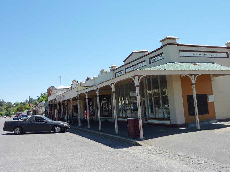
Shops and commercial centre, Fraser Street between Service Street and Templeton Street - Post office and pharmacy, view west along Fraser St
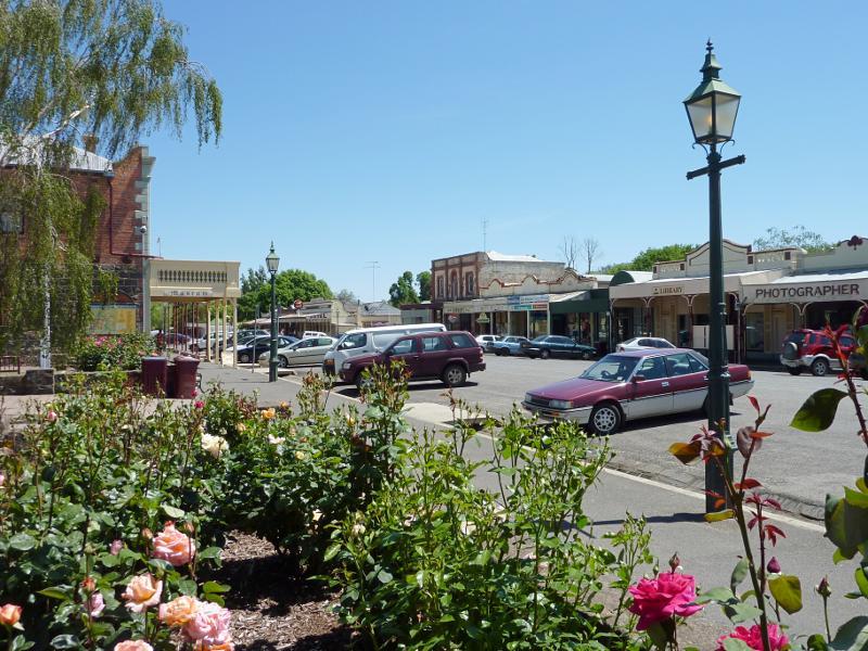
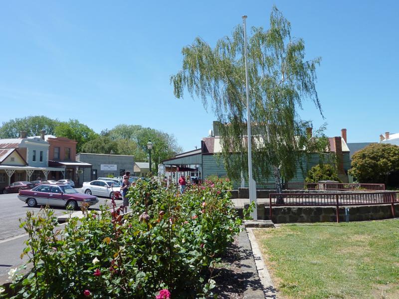
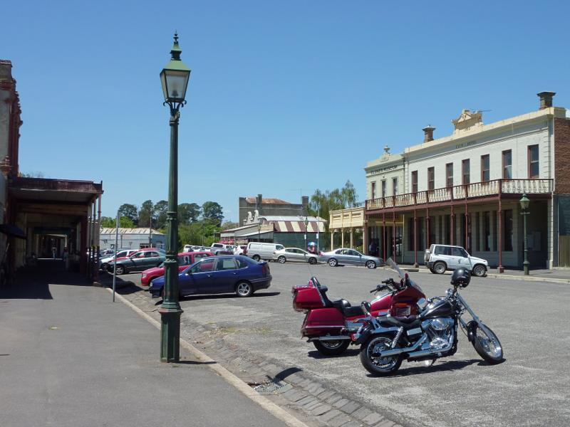
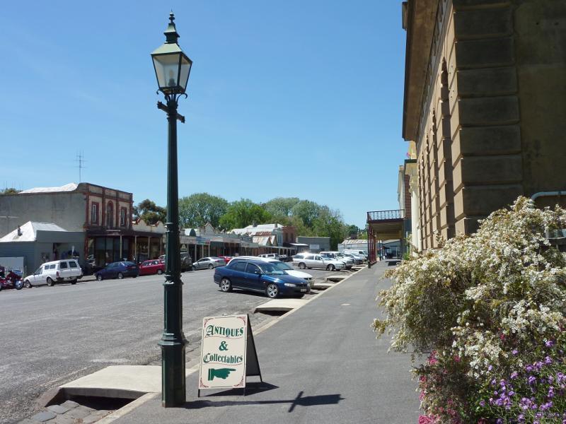
Shops and commercial centre, Fraser Street between Service Street and Templeton Street - View west along Fraser St at Collins Place
Shops and commercial centre, Fraser Street between Service Street and Templeton Street - Collins Place viewed from south side of Fraser St
Shops and commercial centre, Fraser Street between Service Street and Templeton Street - View west along Fraser St at Collins Place
Shops and commercial centre, Fraser Street between Service Street and Templeton Street - View east along Fraser St at Collins Place
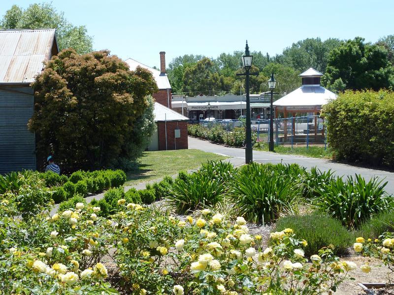
Shops and commercial centre, Fraser Street between Service Street and Templeton Street - View north through Collins Place towards Fraser St
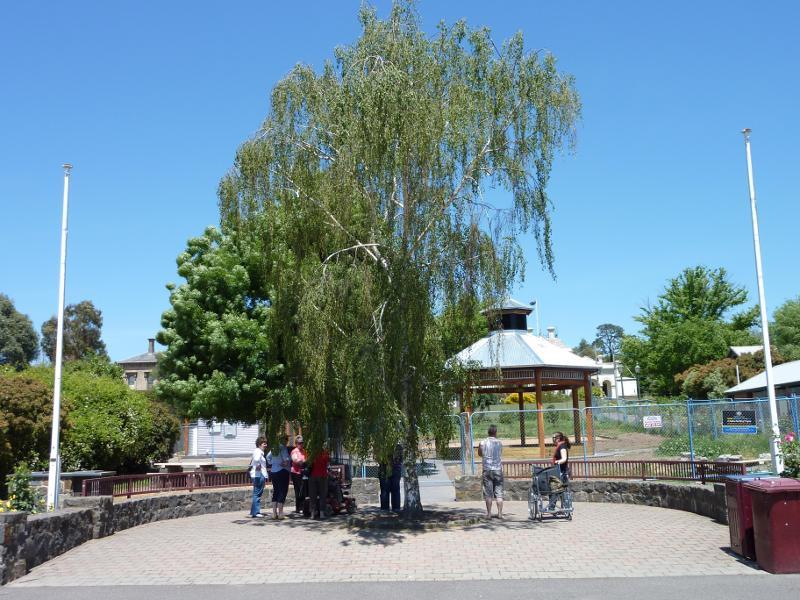
Shops and commercial centre, Fraser Street between Service Street and Templeton Street - Gardens at Collins Place
Shops and commercial centre, Fraser Street between Service Street and Templeton Street - View south through Collins Place towards Bailey St and Town Hall
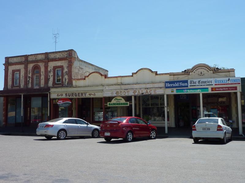
Shops and commercial centre, Fraser Street between Service Street and Templeton Street - Shops and newsagent along north side of Fraser St
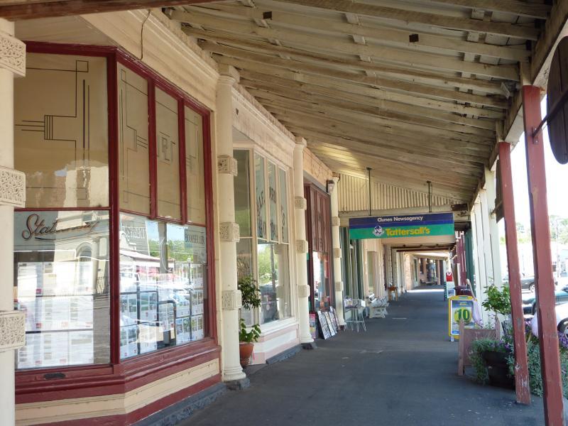
Shops and commercial centre, Fraser Street between Service Street and Templeton Street - View east under shop verandahs along northern side of Fraser St
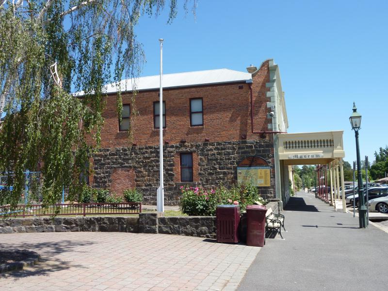
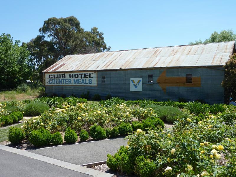
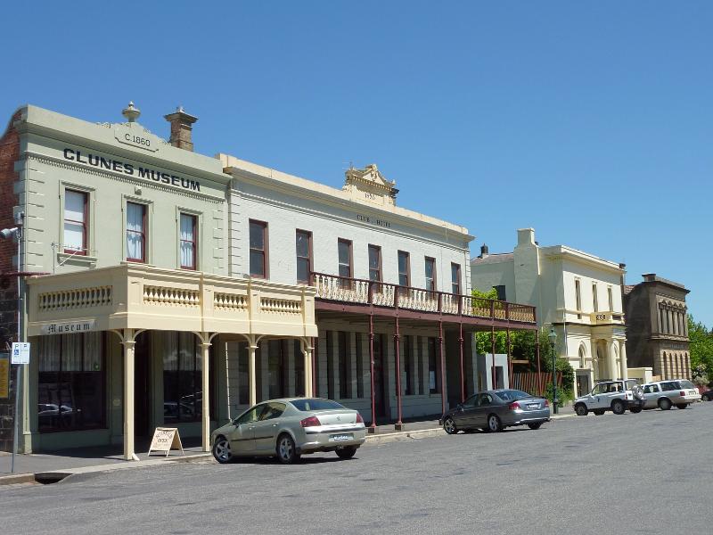
Shops and commercial centre, Fraser Street between Service Street and Templeton Street - Clunes Museum and Club Hotel, south side of Fraser St
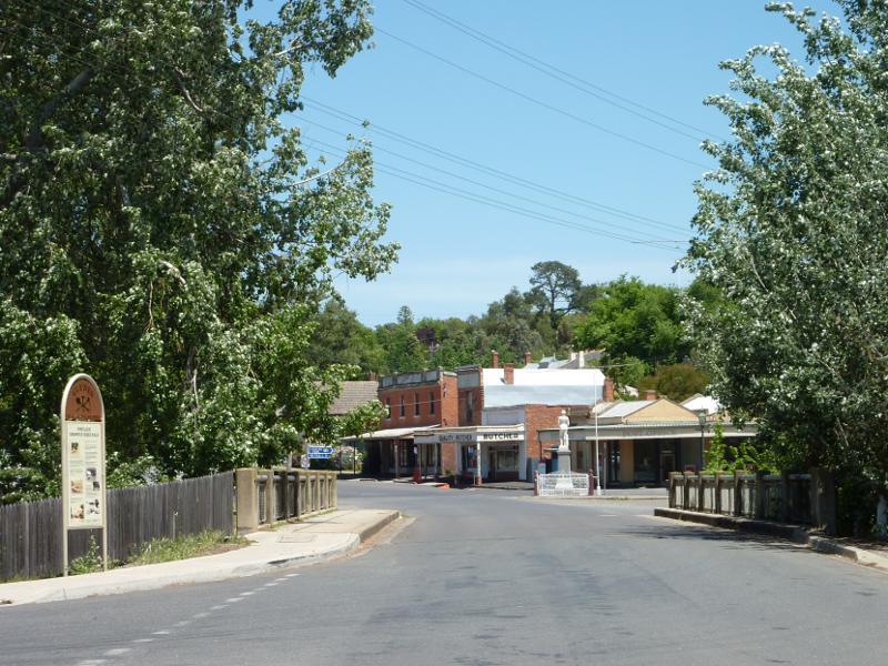
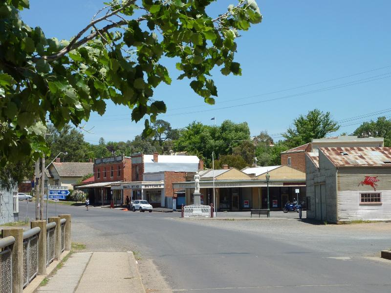
Shops and commercial centre, Fraser Street between Service Street and Templeton Street - View east along Fraser St
Shops and commercial centre, Fraser Street between Service Street and Templeton Street - View west along Fraser St towards Clunes RSL
Shops and commercial centre, Fraser Street between Service Street and Templeton Street - View west along Fraser St
Shops and commercial centre, Fraser Street between Service Street and Templeton Street - View east along Fraser St
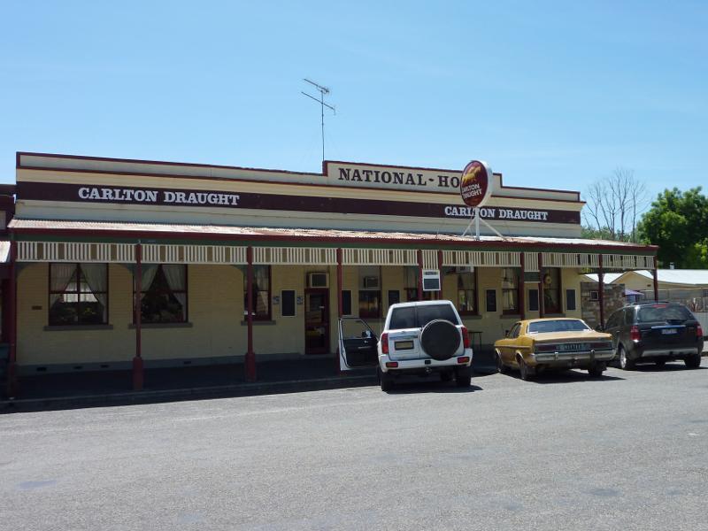
Shops and commercial centre, Fraser Street between Service Street and Templeton Street - View west along Fraser St towards National Hotel
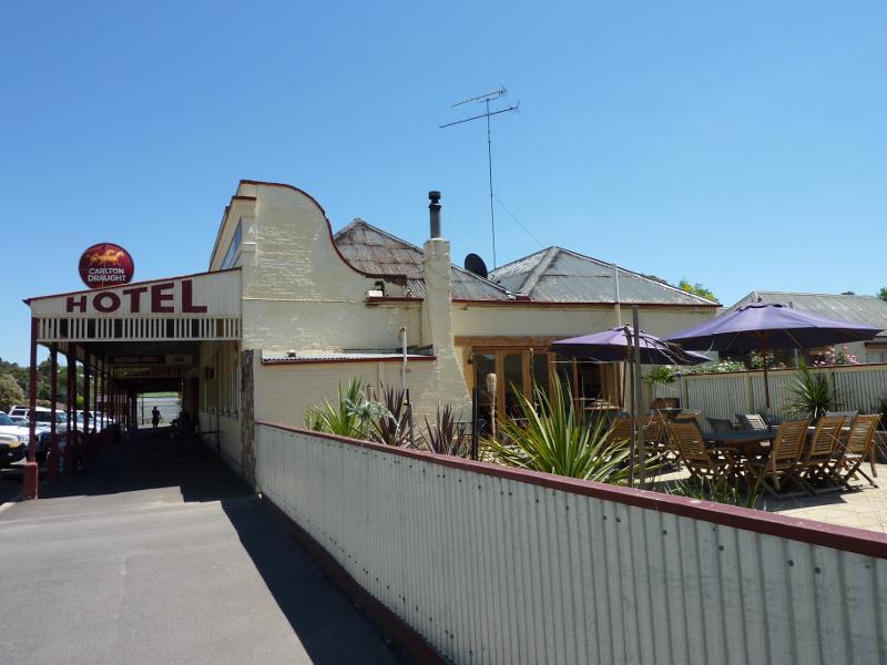
Shops and commercial centre, Fraser Street between Service Street and Templeton Street - National Hotel, north side of Fraser St
Shops and commercial centre, Fraser Street between Service Street and Templeton Street - Bakery, south side of Fraser St
Shops and commercial centre, Fraser Street between Service Street and Templeton Street - Corner of Fraser St and Templeton St
Bailey Street - Keebles of Clunes, corner Bailey St and Fraser St
Bailey Street - Old cart and trough, corner Bailey St and Fraser St
Bailey Street - View west along Bailey St towards service St
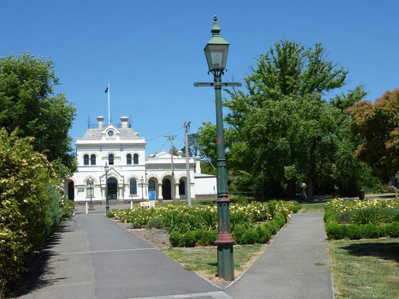
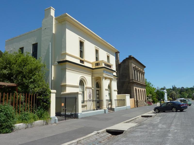
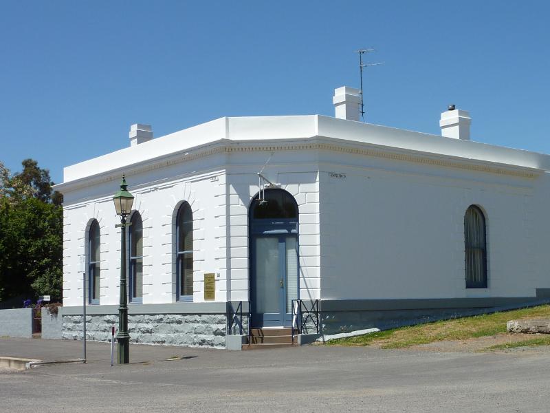
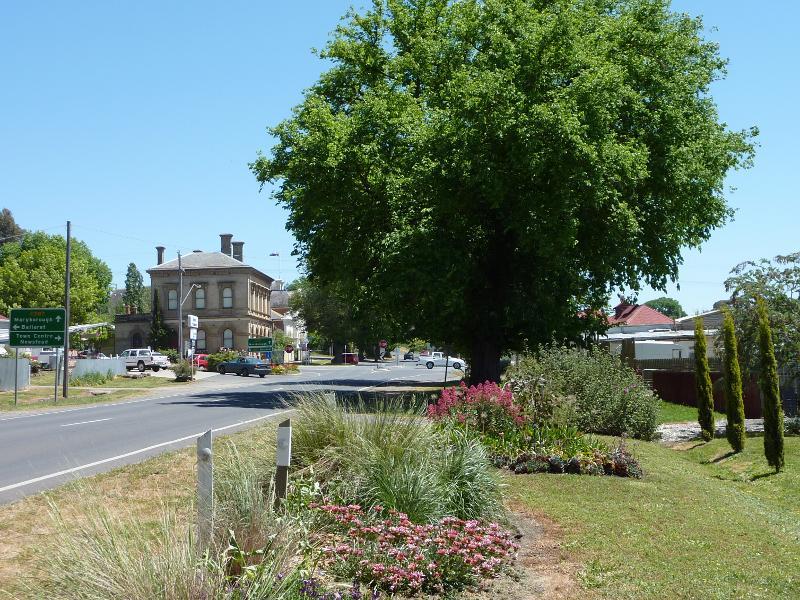
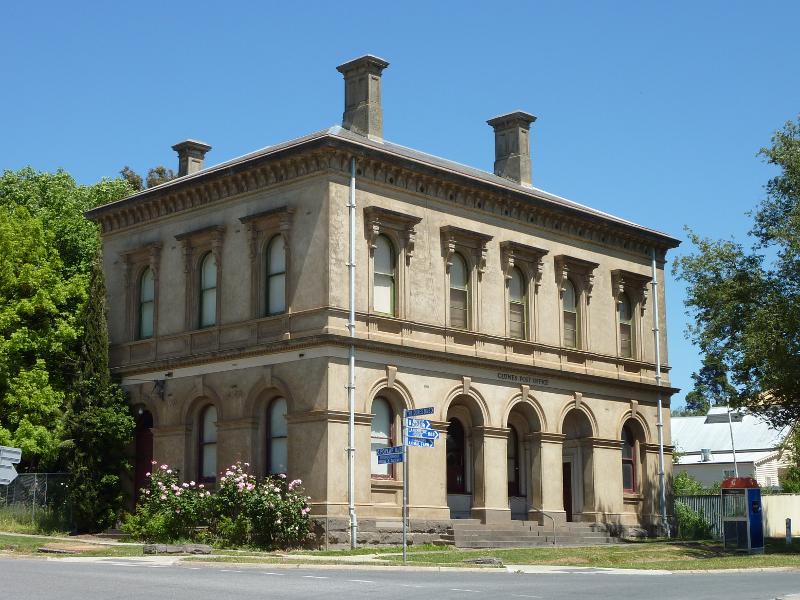
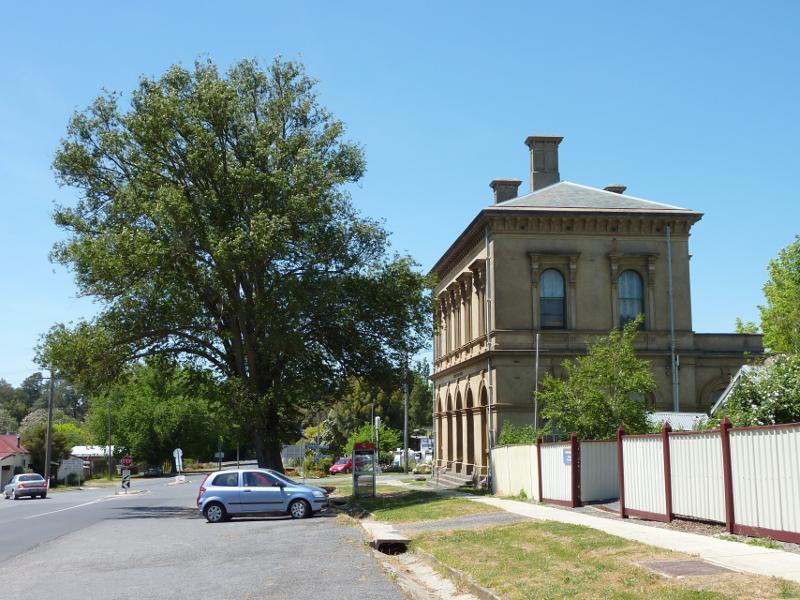
Bailey Street - Old Clunes Post Office, corner Bailey St and Service St
Bailey Street - View east along Bailey St towards old post office and Service St
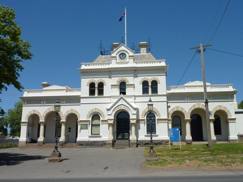
Bailey Street - Clunes Town Hall, south side of Bailey St
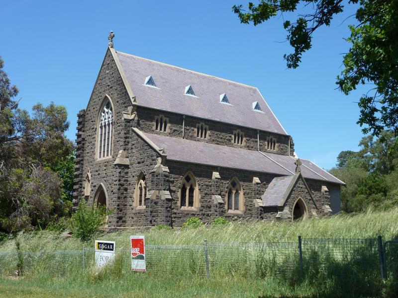
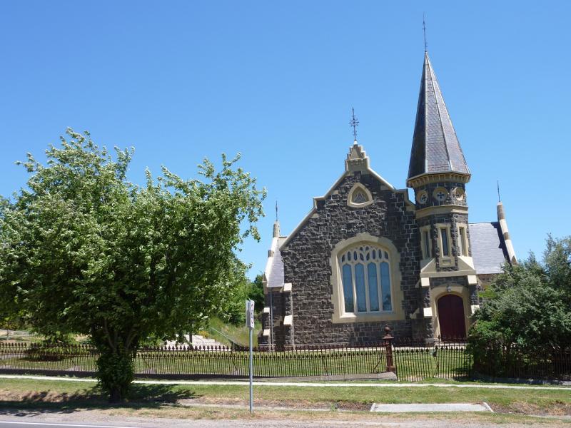
Bailey Street - Catholic Church, Bailey St east of Templeton St
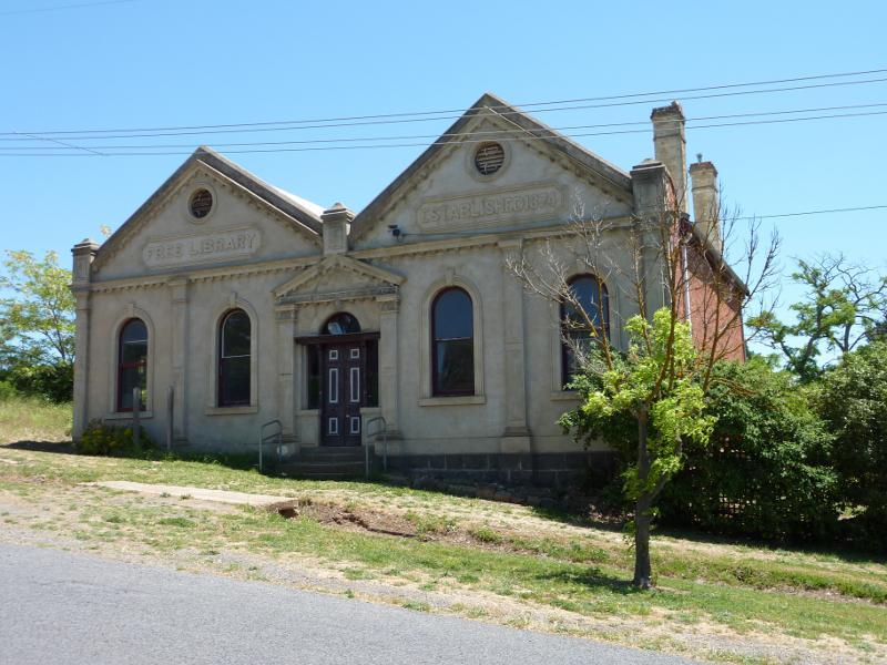
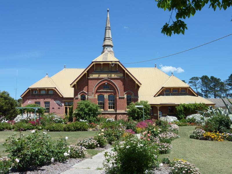
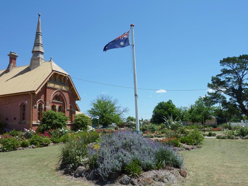
Bailey Street - Old library, corner Bailey St and Templeton St
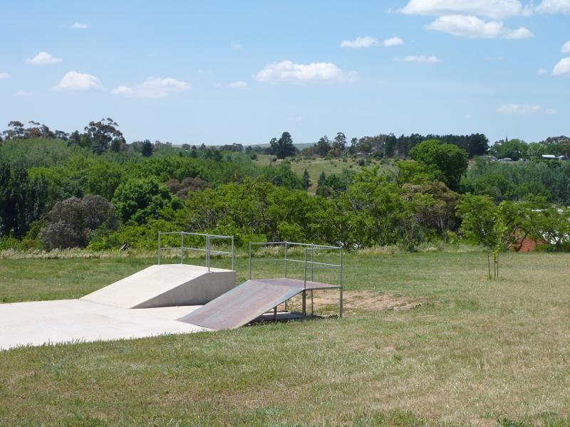
Bailey Street - Skate park, Bailey St west of Templeton St
Bailey Street - North-east view from skate park towards Fraser St below
Bailey Street - Northerly view from skate park towards Fraser St below
Bailey Street - Visitor information centre, corner Bailey St and Suburban St
Bailey Street - Gardens in front of visitor information centre
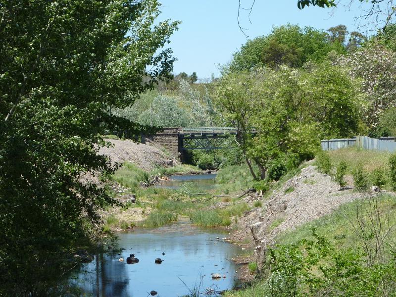
Service Street - View south-west along Service St towards Ligar St and bridge over Creswick Creek
Service Street - View south-east along Creswick Creek from bridge at Service St
Service Street - View south-west along Service St towards Purcell St
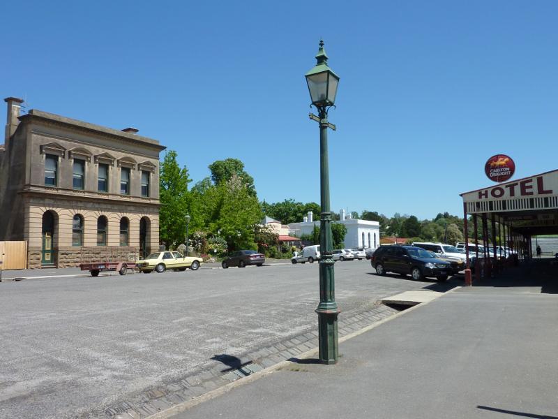
Service Street - View south along Service St at Fraser St
Service Street - Uniting Church, Service St south of Bailey St
Service Street - All Nations Masonic Lodge, Service St south of Hill St
Service Street - Entrance to Clunes Showgrounds, Service St at Victoria St
Angus Street - View south-west along Cameron St towards Angus St
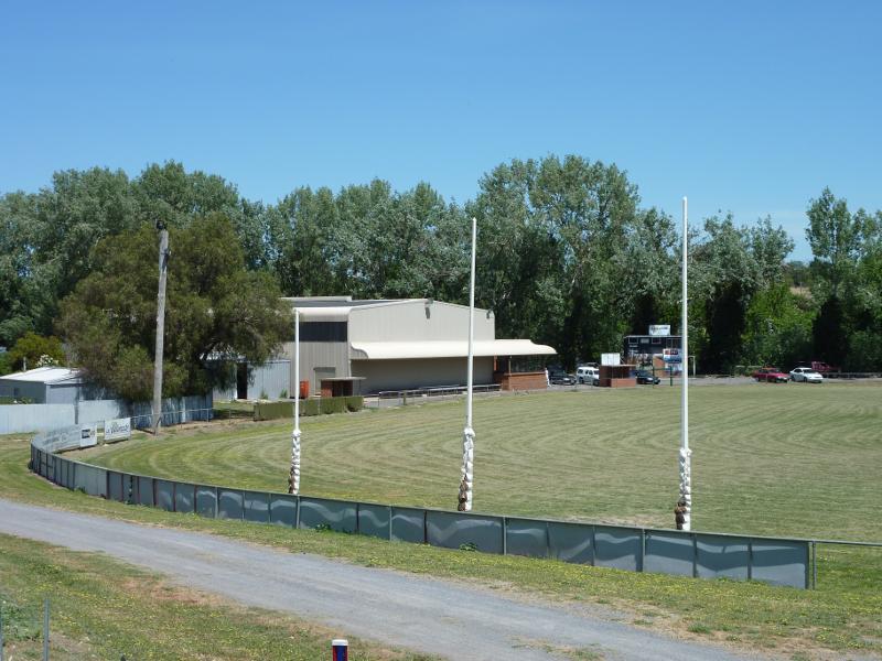
Angus Street - Oval at Victoria Park viewed from Angus St
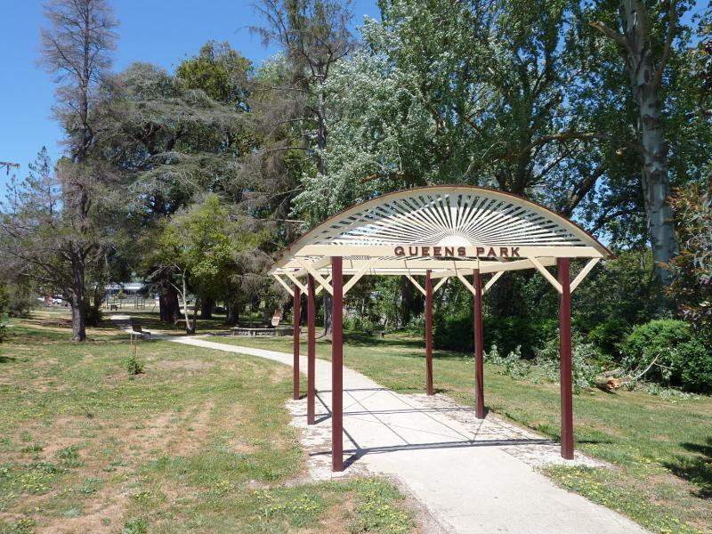
Queens Park, Ligar Street - Pergola near entrance at corner of Service St and Ligar St
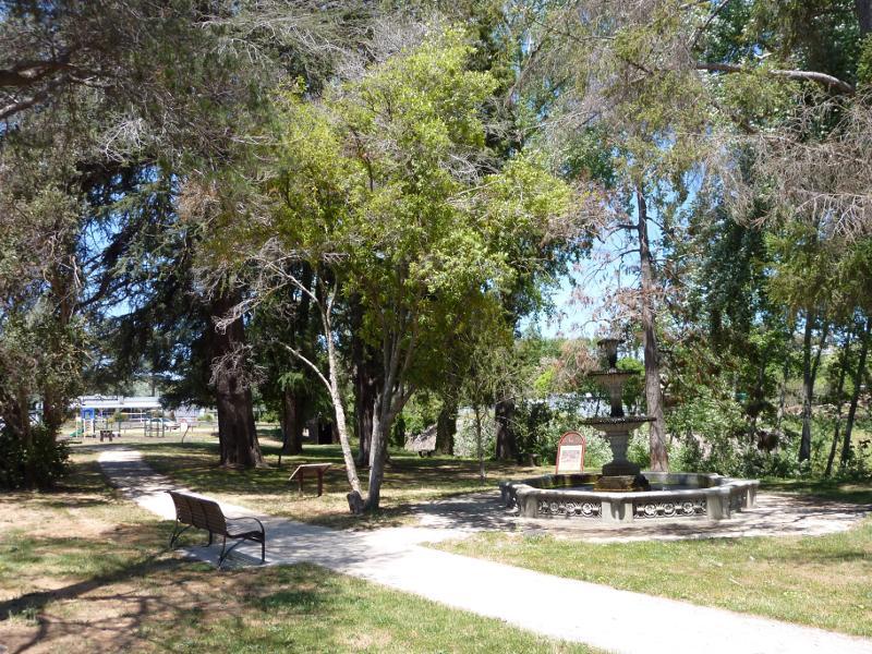
Queens Park, Ligar Street - South-east view through park towards fountain
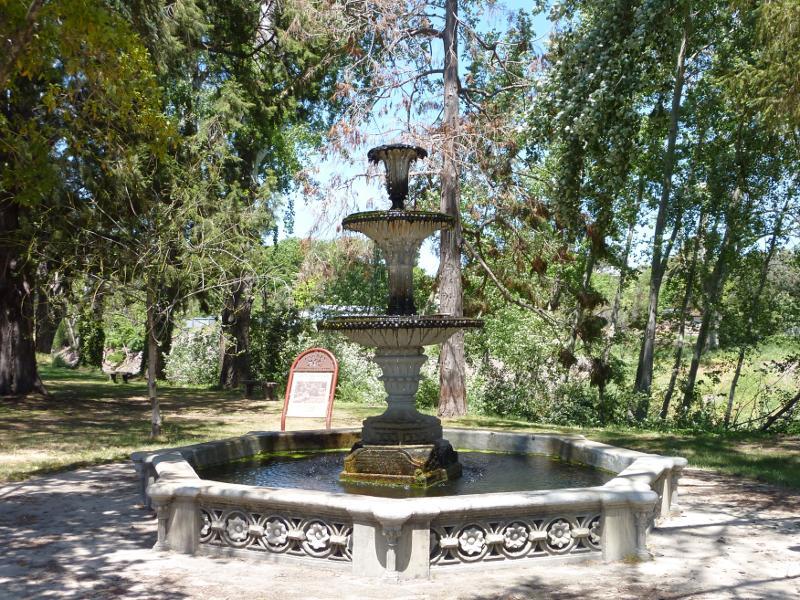
Queens Park, Ligar Street - Fountain
Esmond Park, Scenic Drive - Picnic area on corner of Scenic Dr and Angus St
Esmond Park, Scenic Drive - The lookout on Scenic Dr
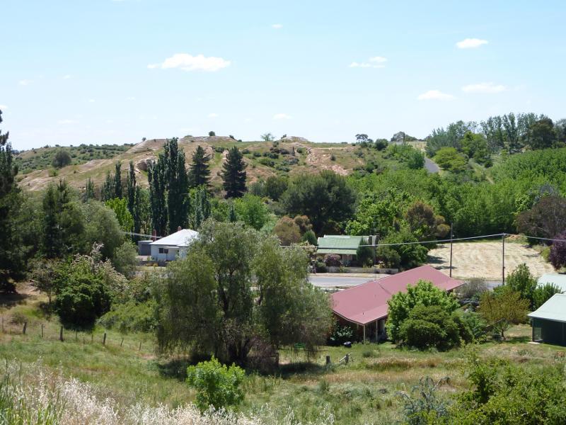
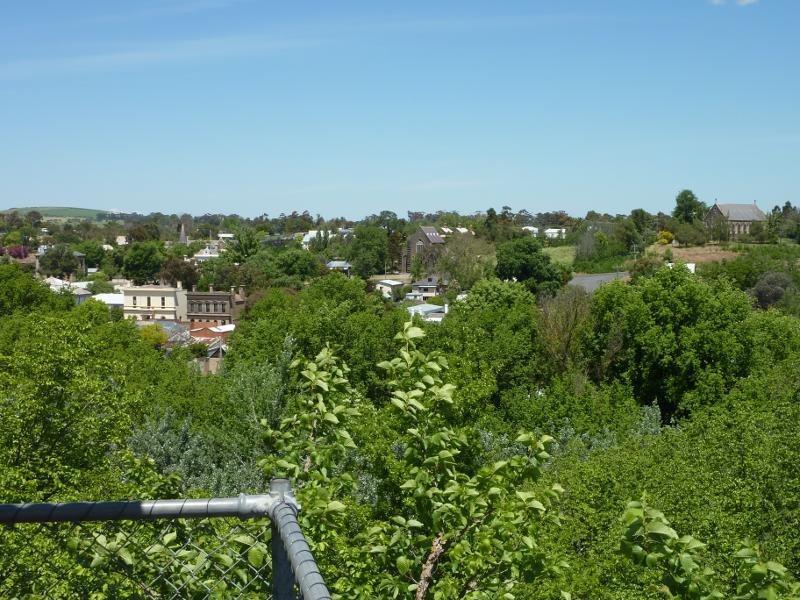
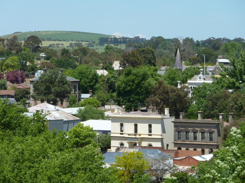
Esmond Park, Scenic Drive - Southerly view from lookout over the town
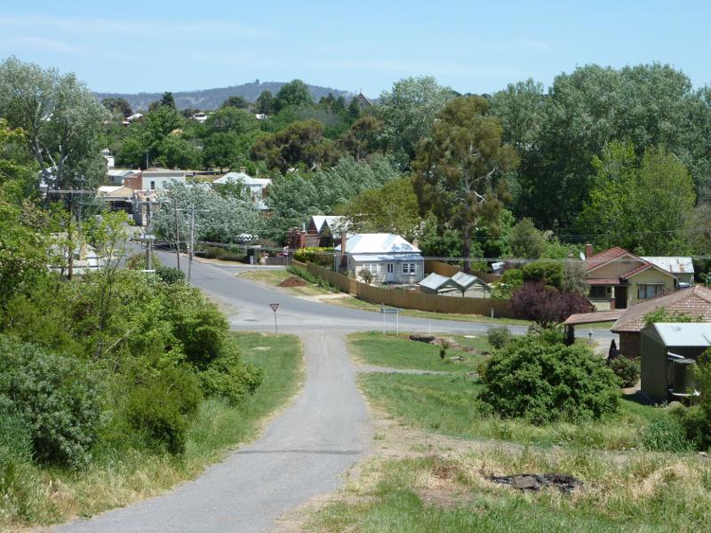
Esmond Park, Scenic Drive - South-easterly view from lookout towards junction of Fraser St and Service St
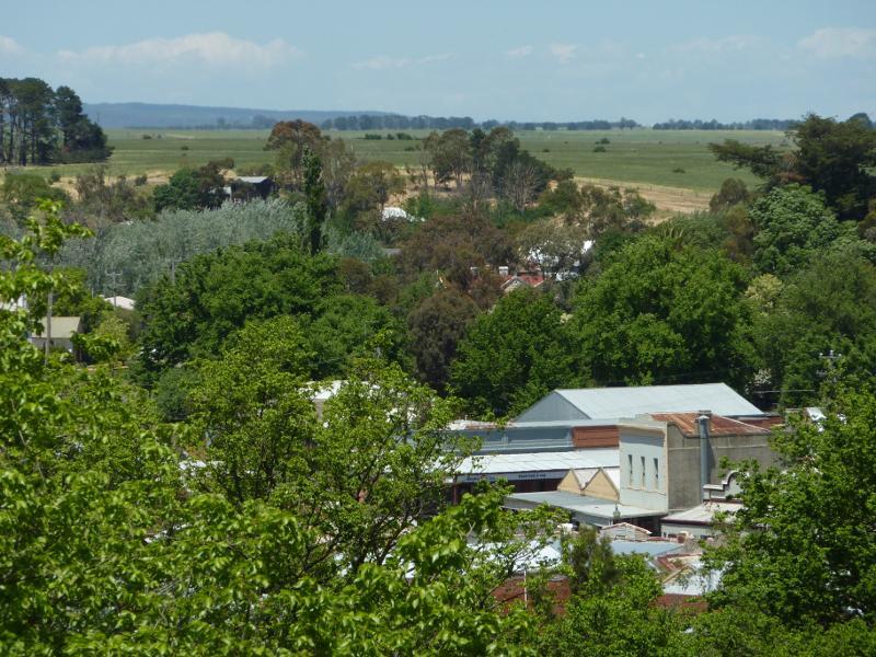
Esmond Park, Scenic Drive - Southerly view from lookout across shops along Fraser St
Esmond Park, Scenic Drive - South-westerly view from lookout towards Catholic Church on Bailey St
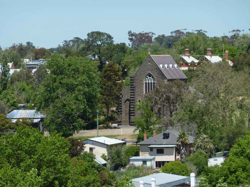
Esmond Park, Scenic Drive - South-westerly view towards skate park and Anglican Church on Bailey St
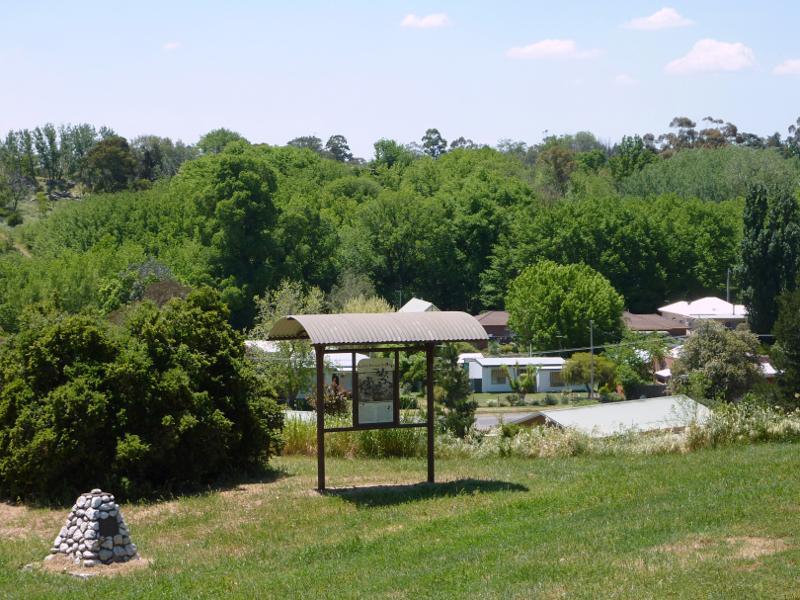
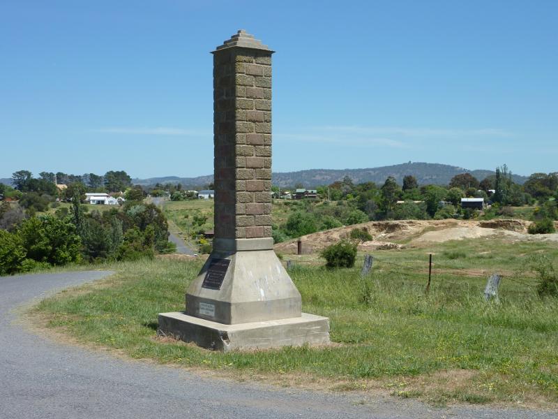
Esmond Park, Scenic Drive - South-westerly view at monument on Scenic Dr
Esmond Park, Scenic Drive - Old diggings, westerly view from Scenic Dr at monument
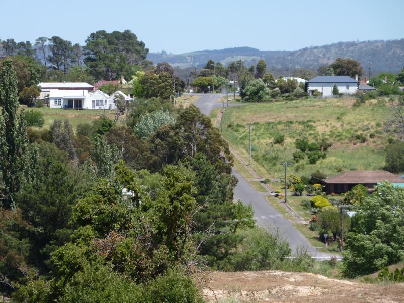
Esmond Park, Scenic Drive - View south-west along Camp St from Scenic Dr at monument
Esmond Park, Scenic Drive - View south-west along Scenic Dr towards Creswick Creek
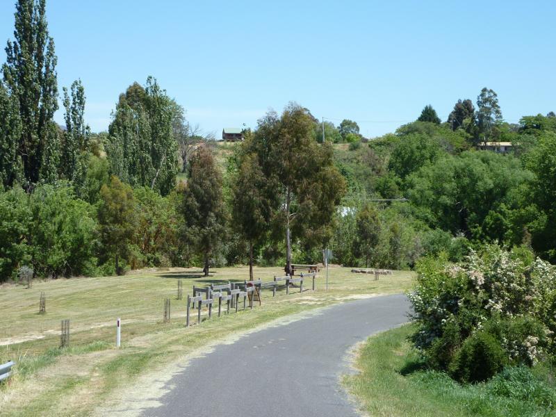
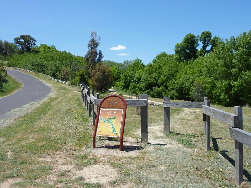
Esmond Park, Scenic Drive - View north-east along Scenic Dr at The Creek Walk near Creswick Creek
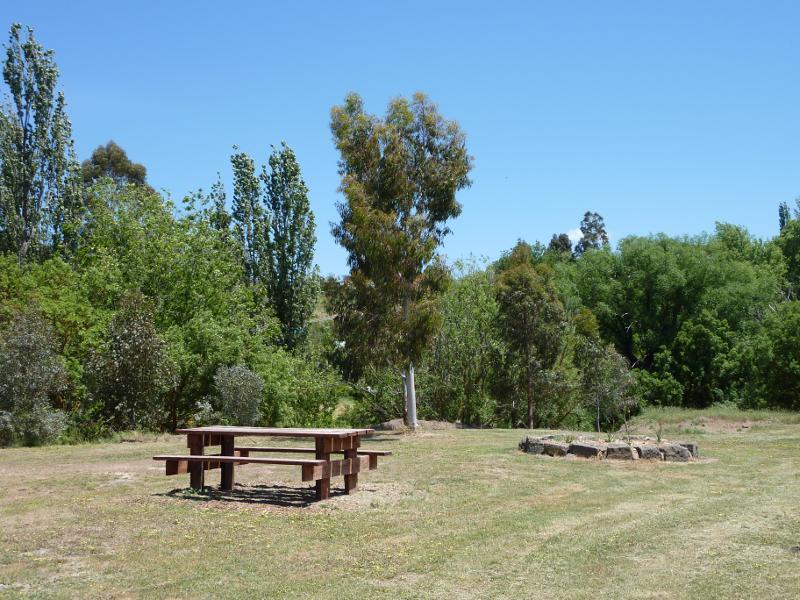
Esmond Park, Scenic Drive - Picnic area near Creswick Creek
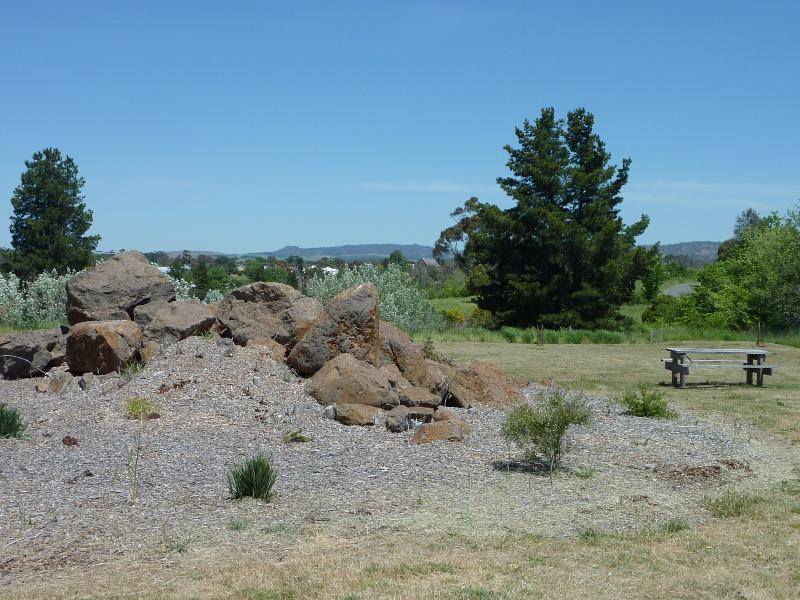
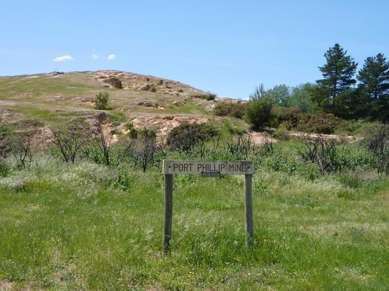
Esmond Park, Scenic Drive - Old Port Phillip Mine
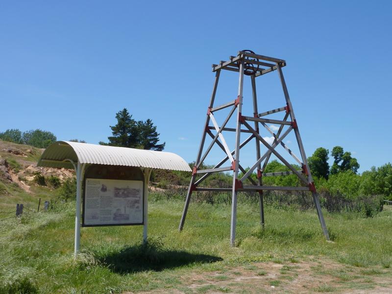
Esmond Park, Scenic Drive - Poppet head and information shelter at old Port Phillip Mine
Clunes - Creswick Road - View south-east along Clunes - Creswick Rd just outside of Clunes
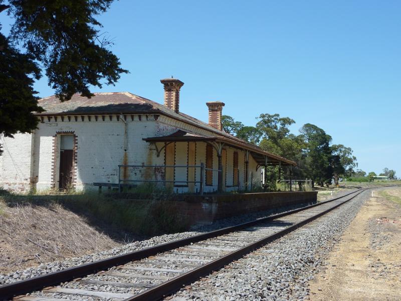
Clunes Railway Station, Ballarat - Maryborough Road - View south along railway line towards station platform
Ballarat - Maryborough Road, south of Clunes - Clunes town sign, view north along Ballarat-Maryborough Rd near Sutherland St
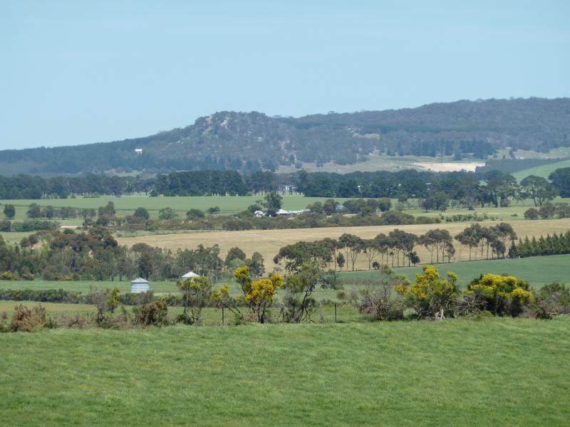
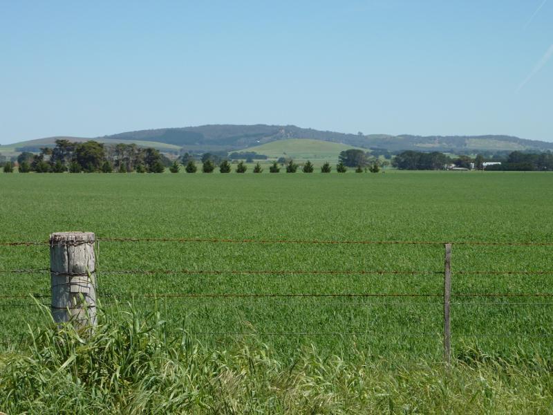
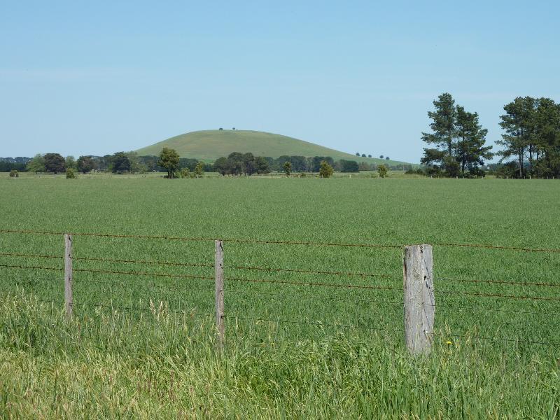
Ballarat - Maryborough Road, south of Clunes - South-westerly view, Ballarat-Maryborough Rd north of Two Mile Hill
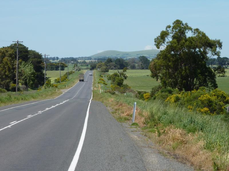
Ballarat - Maryborough Road, south of Clunes - View south along Ballarat-Maryborough Rd near Two Mile Hill
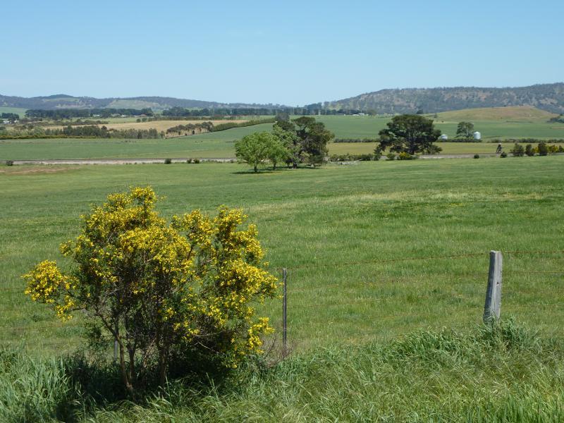
Ballarat - Maryborough Road, south of Clunes - Westerly view, Ballarat-Maryborough Rd near Two Mile Hill
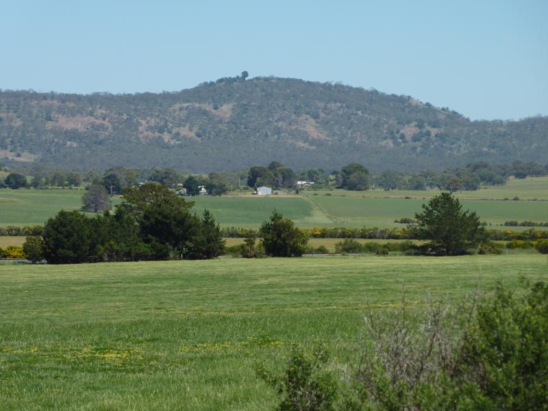
Ballarat - Maryborough Road, south of Clunes - North-westerly view, Ballarat-Maryborough Rd at Two Mile Hill
Ballarat - Maryborough Road, south of Clunes - Westerly view, Ballarat-Maryborough Rd north of Holmes Rd
Ballarat - Maryborough Road, south of Clunes - South-westerly view, Ballarat-Maryborough Rd north of Holmes Rd