Cobram - photos
Cobram
Stay
See and do
Food and drink
Shopping
Getting around
Visitor information
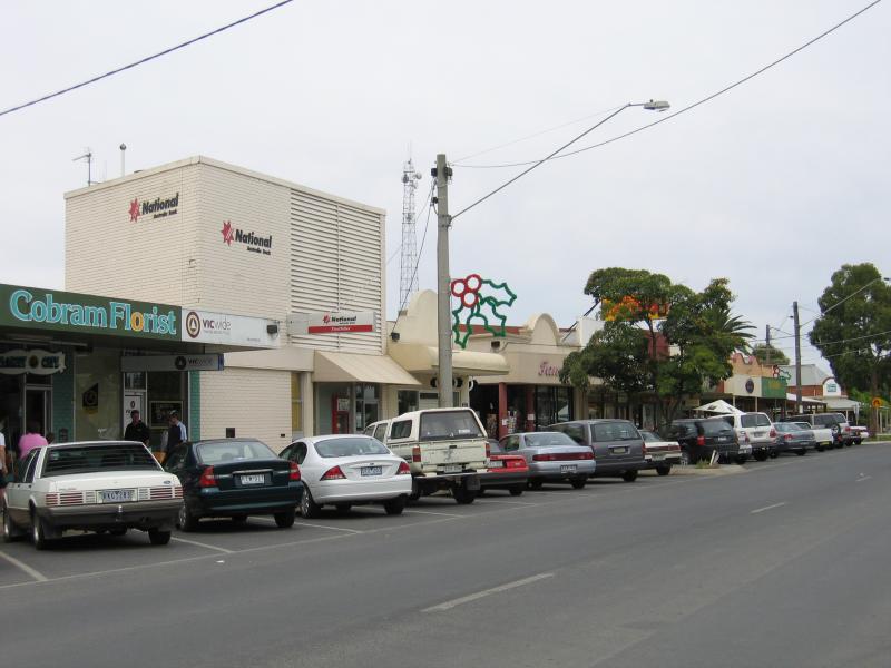
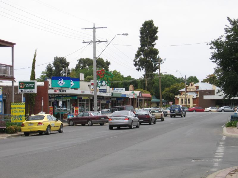
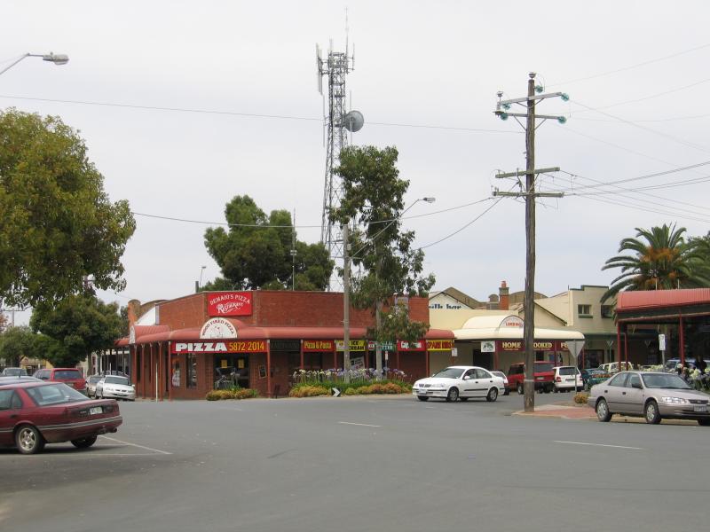
 Commercial centre and shops - View south-west along Punt Rd at Main St
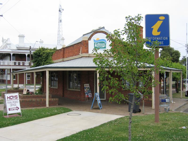 Commercial centre and shops - Visitor Information Centre, corner Station St and Punt Rd
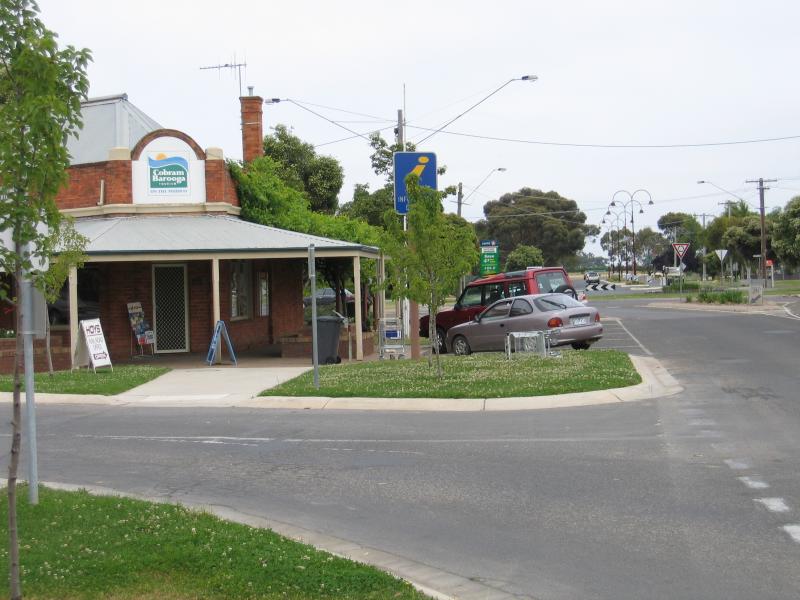 Commercial centre and shops - Visitor Information Centre, view south-west along Punt Rd at Station St
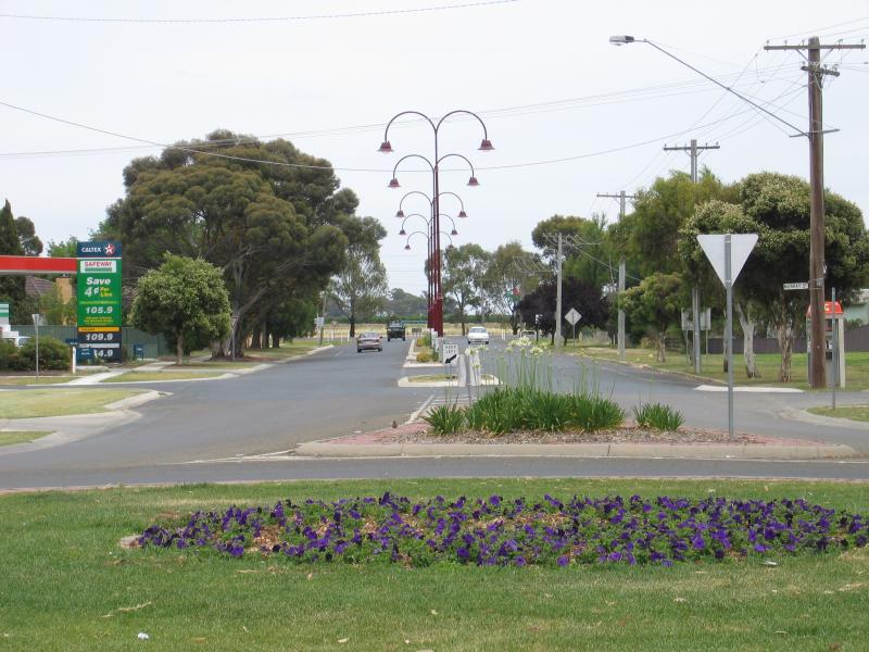
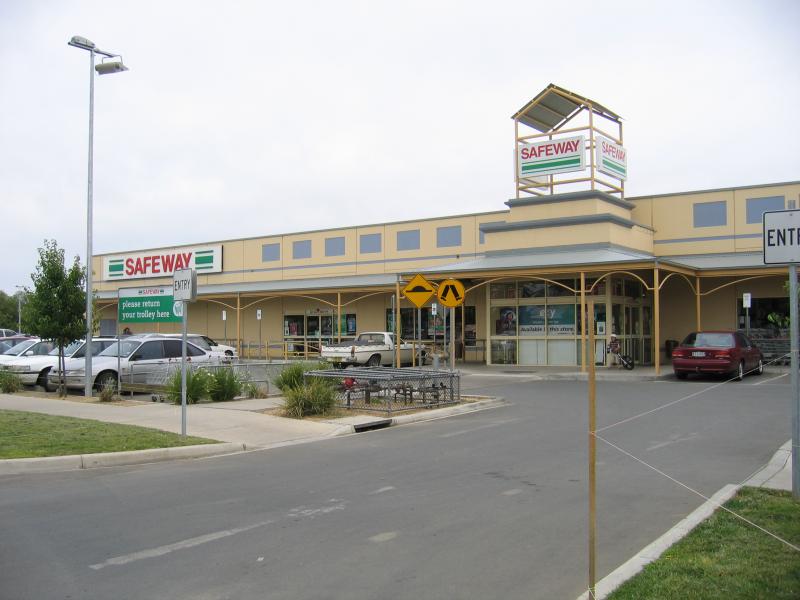 Commercial centre and shops - Safeway Supermarket, Punt Rd opposite Station St
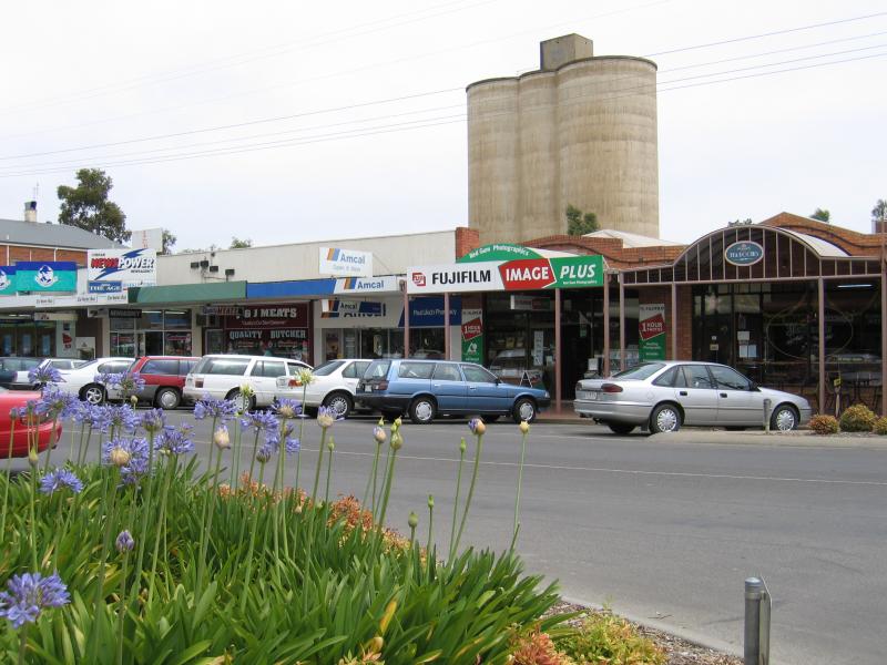
 Commercial centre and shops - View south-west along Punt Rd between Sydney St and Station St
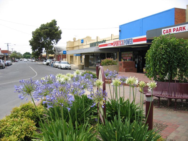
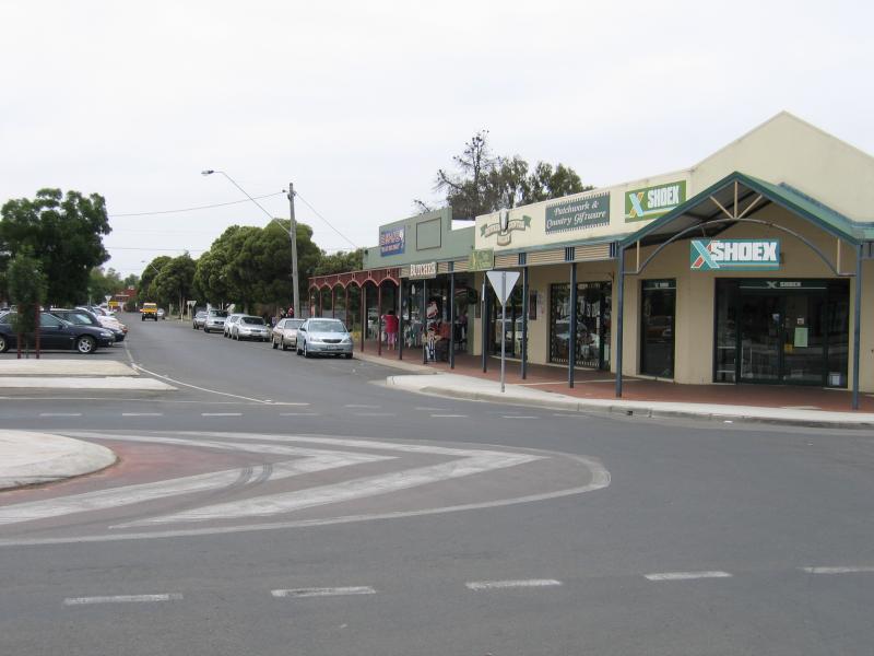
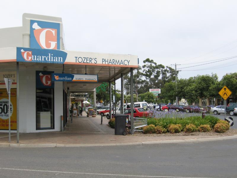 Commercial centre and shops - View south-west along Punt Rd at Sydney St
 Commercial centre and shops - View south along Sydney St at Punt Rd
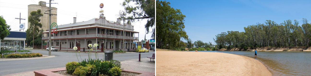
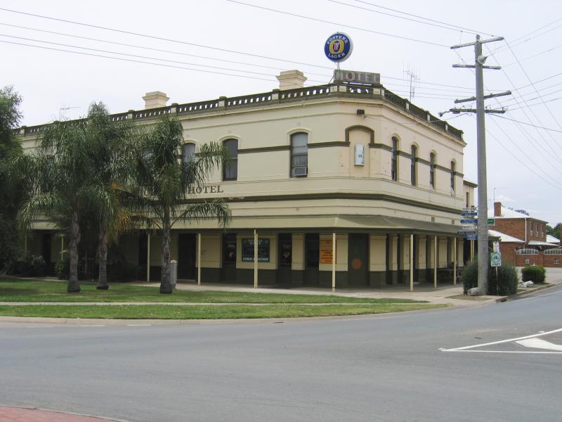
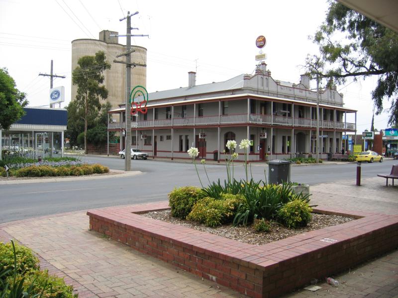 Commercial centre and shops - Grand Central Hotel, corner Punt Rd and Terminus St
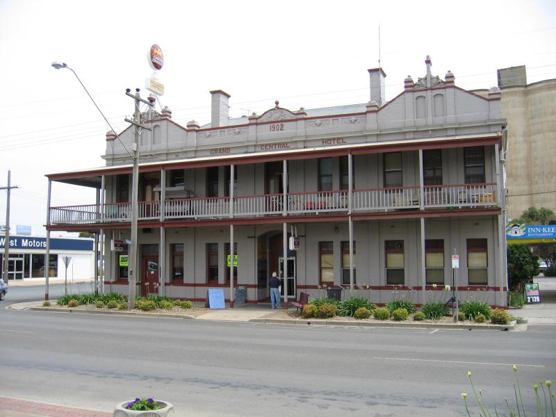 Commercial centre and shops - Grand Central Hotel, corner Punt Rd and Terminus St
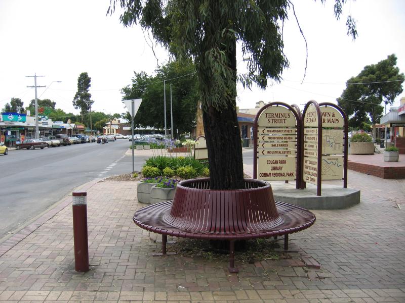
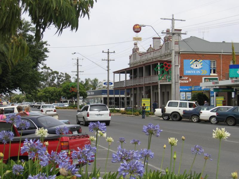 Commercial centre and shops - View south-west along Punt Rd between High St and Terminus St
 Commercial centre and shops - View south-west along Punt Rd between High St and Terminus St
 Commercial centre and shops - View north-east along Punt Rd at Bank St
 Commercial centre and shops - View north-east along Punt Rd towards Bank St
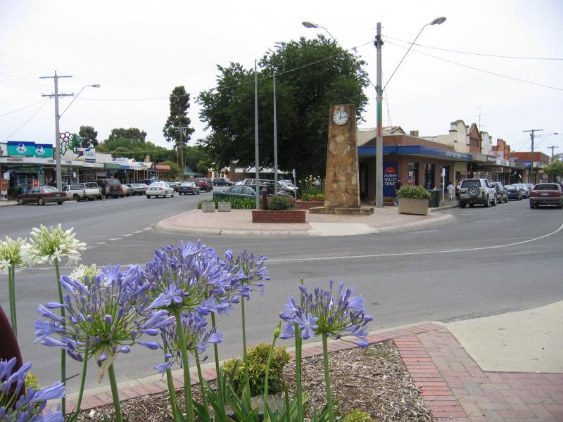 Commercial centre and shops - View north-east along Punt Rd at Bank St
 Commercial centre and shops - View east along Bank St at Punt Rd
 Commercial centre and shops - View south-west along Punt Rd towards Bank St
 Commercial centre and shops - Cobram Post Office, corner Bank St and High St
 Commercial centre and shops - View west along Bank St at William St
 Commercial centre and shops - View south along High St towards Punt Rd
 Commercial centre and shops - View north along Sydney St at Main St
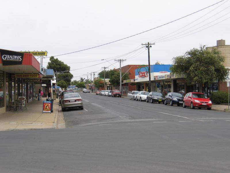
 Commercial centre and shops - View east along Main St at Sydney St
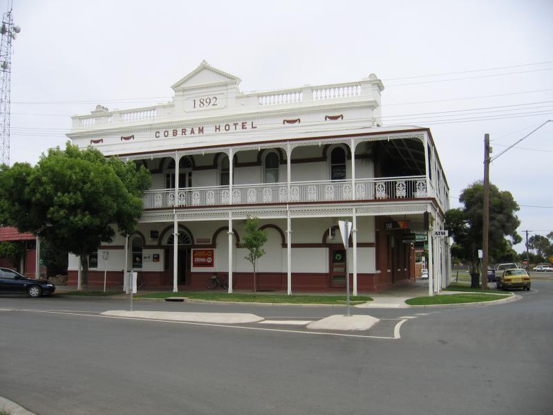 Commercial centre and shops - Cobram Hotel, corner Main St and Station St
 Commercial centre and shops - View east along Main St at Station St
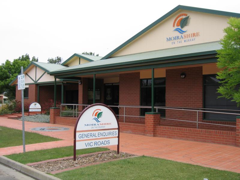 Commercial centre and shops - Moira Shire council offices, corner Queen St and Station St
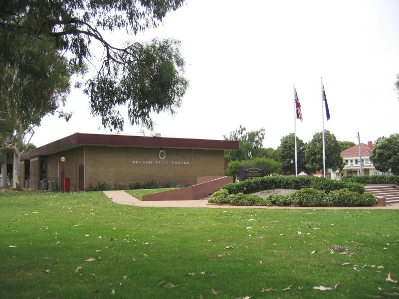 Mivo Park (High Street) and surroundings - Cobram Civic Centre, viewed from William St
 Mivo Park (High Street) and surroundings - Mivo Park entrance, High St
 Mivo Park (High Street) and surroundings - Don Campbell Rose Garden, Mivo Park
 Mivo Park (High Street) and surroundings - Gardens at Mivo Park
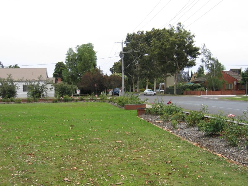 Mivo Park (High Street) and surroundings - Mivo Park, view north along William St towards Hay St
 Mivo Park (High Street) and surroundings - Court House, corner Punt Rd and High St
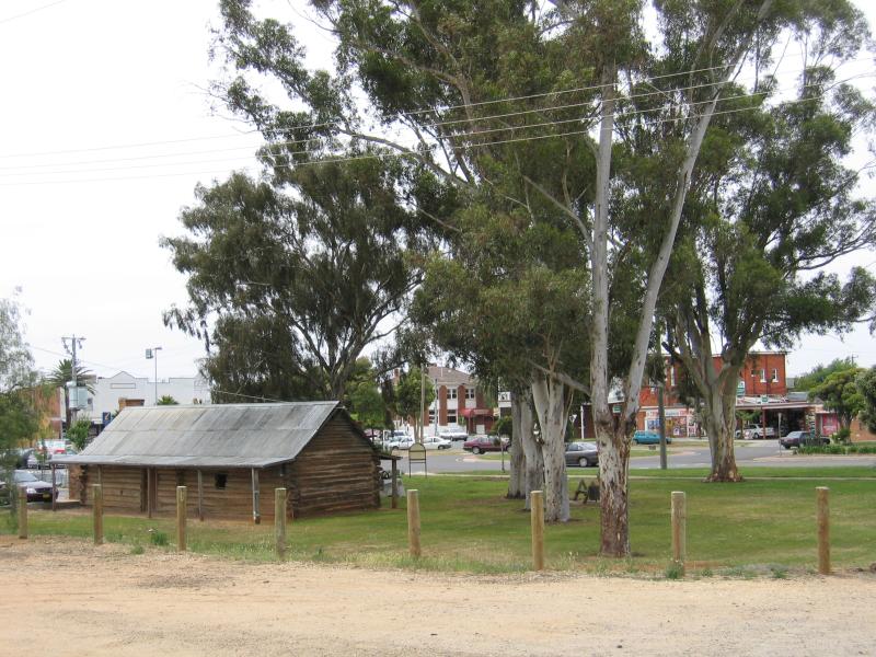
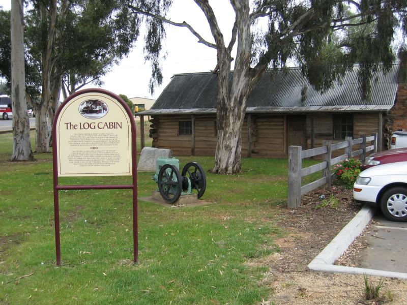 Old railway station and adjacent gardens, Punt Road - Log Cabin
 Old railway station and adjacent gardens, Punt Road - View from old railway station towards Log Cabin
 Old railway station and adjacent gardens, Punt Road - Old railway station
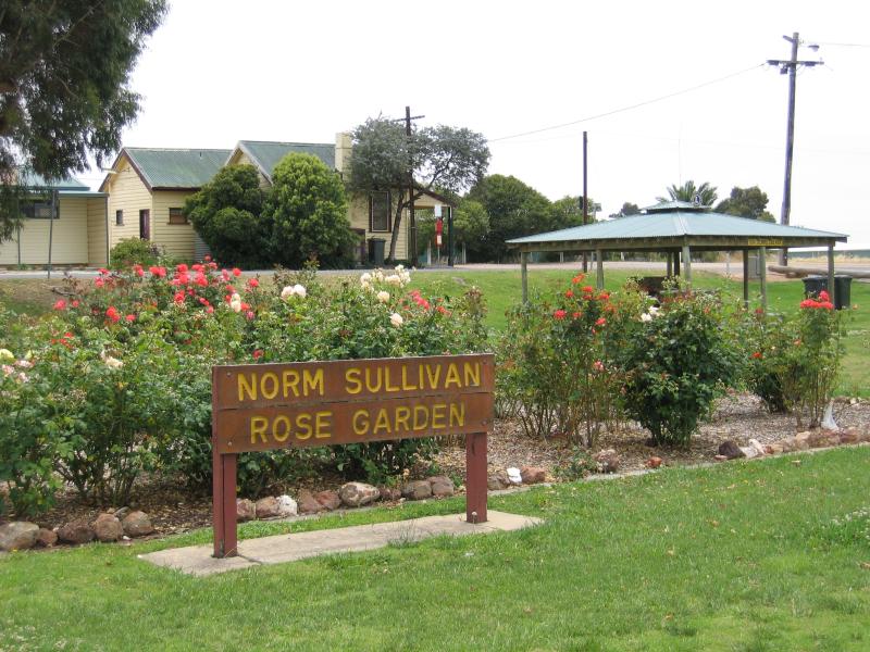 Old railway station and adjacent gardens, Punt Road - Norm Sullivan Rose Gardens in front of old railway station
 Old railway station and adjacent gardens, Punt Road - Fountain, gardens in front of old railway station
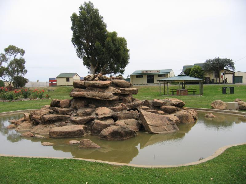 Old railway station and adjacent gardens, Punt Road - Fountain, gardens in front of old railway station
 The Mill End, Mookarii Street - Royal Victoria Hotel, corner Mookarii St and Warkil St
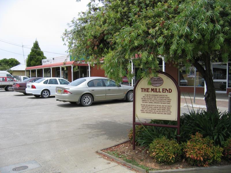 The Mill End, Mookarii Street - The Mill End shopping area, Mookarii St between Warkil St and Yanco Ct
 The Mill End, Mookarii Street - The Mill End shopping area, Mookarii St between Warkil St and Yanco Ct
 Thompsons Beach at Kennedy Park - Welcome to Cobram sign, view west along Mookarii St between Daintons Bridge and River Rd
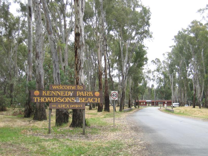 Thompsons Beach at Kennedy Park - Access road to Thompsons Beach off Mookarii St
 Thompsons Beach at Kennedy Park - View west along Murray River towards boat ramp
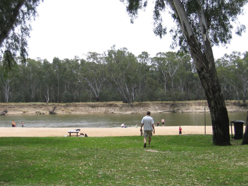
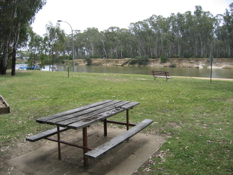 Thompsons Beach at Kennedy Park - Grassy areas on the banks of the Murray River
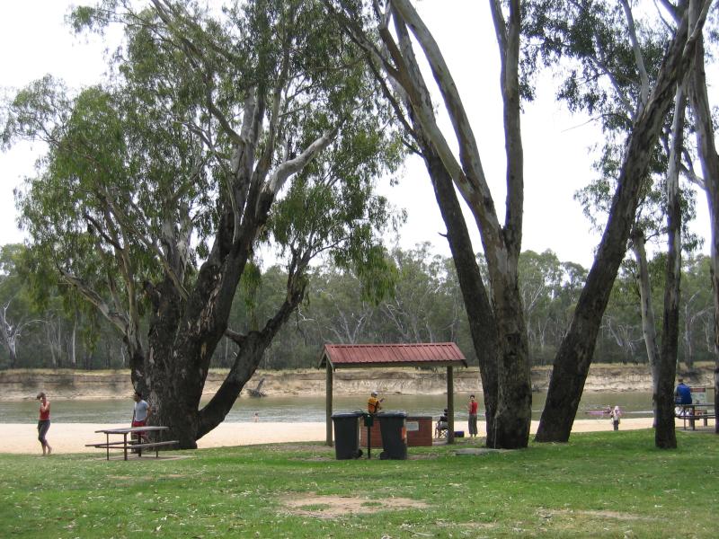
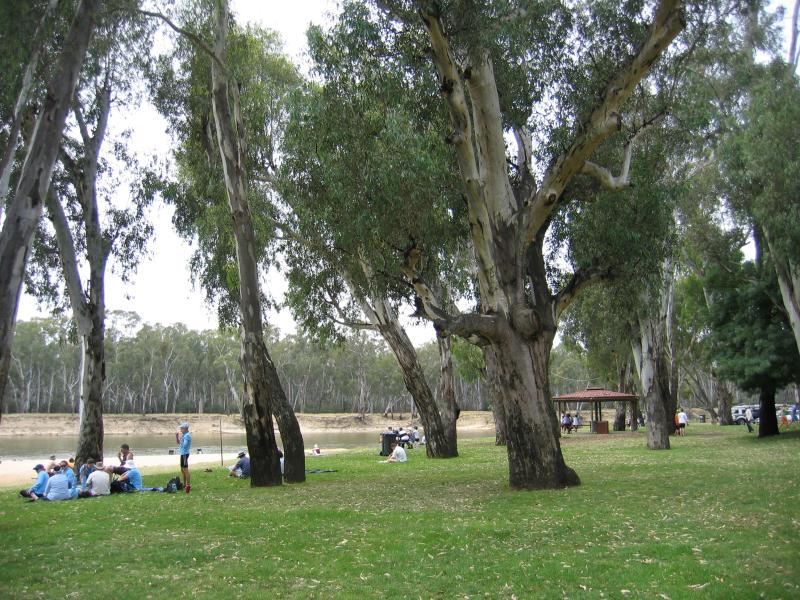
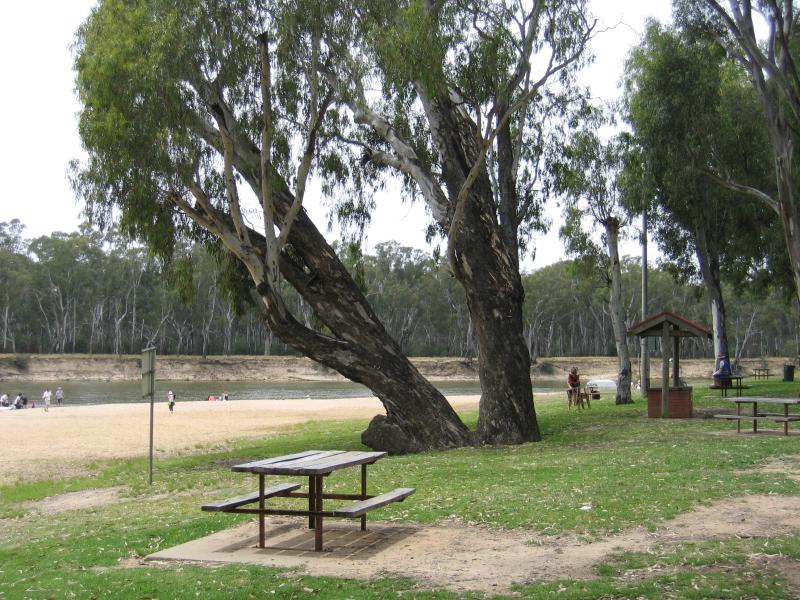 Thompsons Beach at Kennedy Park - BBQ and picnic areas
 Thompsons Beach at Kennedy Park - BBQ and picnic areas
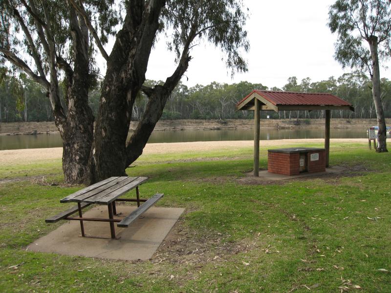 Thompsons Beach at Kennedy Park - BBQ shelter and picnic areas
 Thompsons Beach at Kennedy Park - BBQ and picnic areas
 Thompsons Beach at Kennedy Park - BBQ and picnic areas
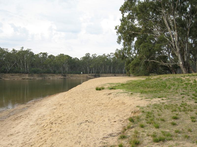
 Thompsons Beach at Kennedy Park - Sandy banks of Murray River
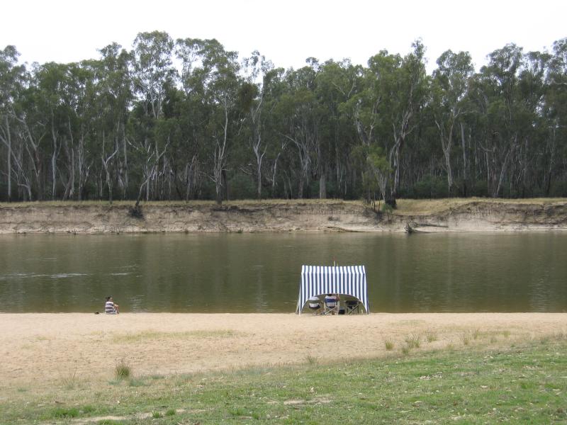 Thompsons Beach at Kennedy Park - Beach
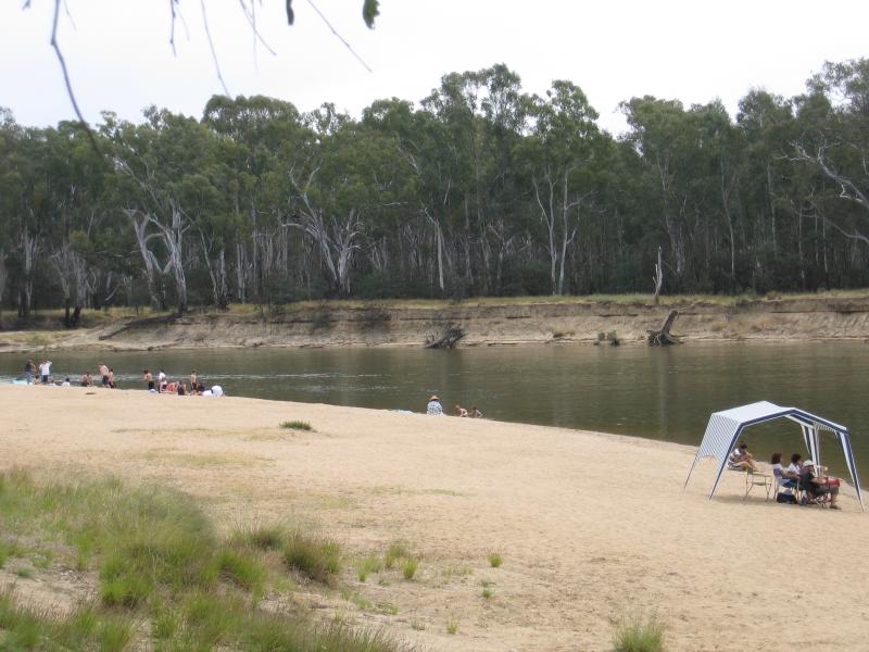 Thompsons Beach at Kennedy Park - Beach
 Thompsons Beach at Kennedy Park - View east along beach
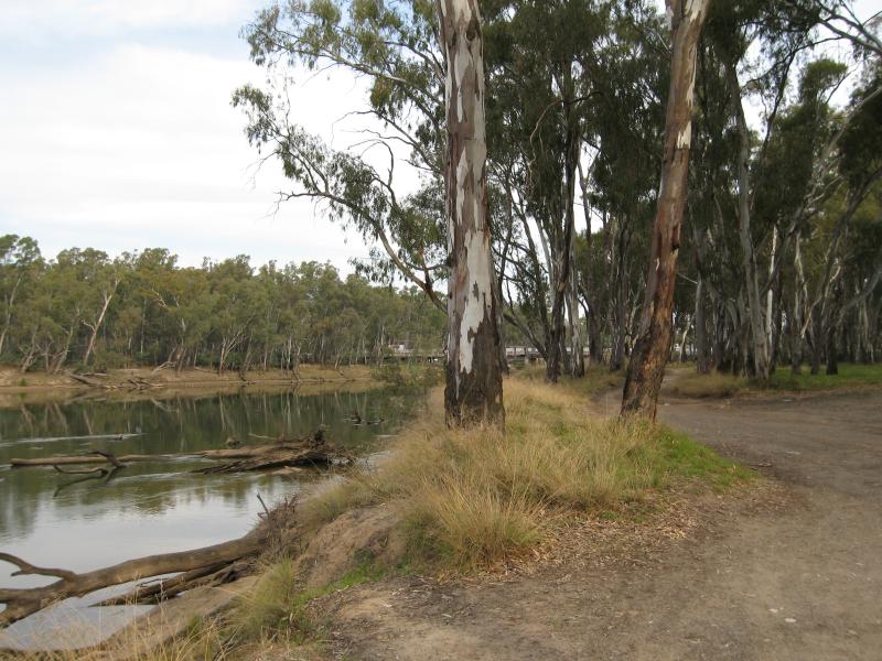 Thompsons Beach at Kennedy Park - View south along Murray River from near canoe club
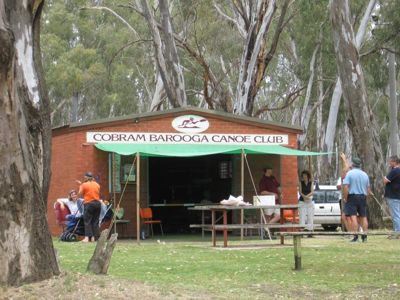 Thompsons Beach at Kennedy Park - Cobram Barooga Canoe Club
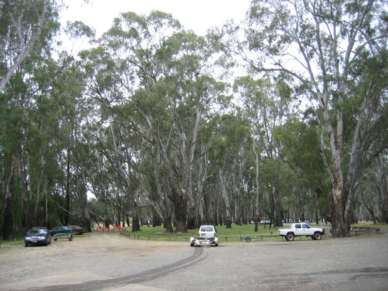 Thompsons Beach at Kennedy Park - Car park at boat ramp
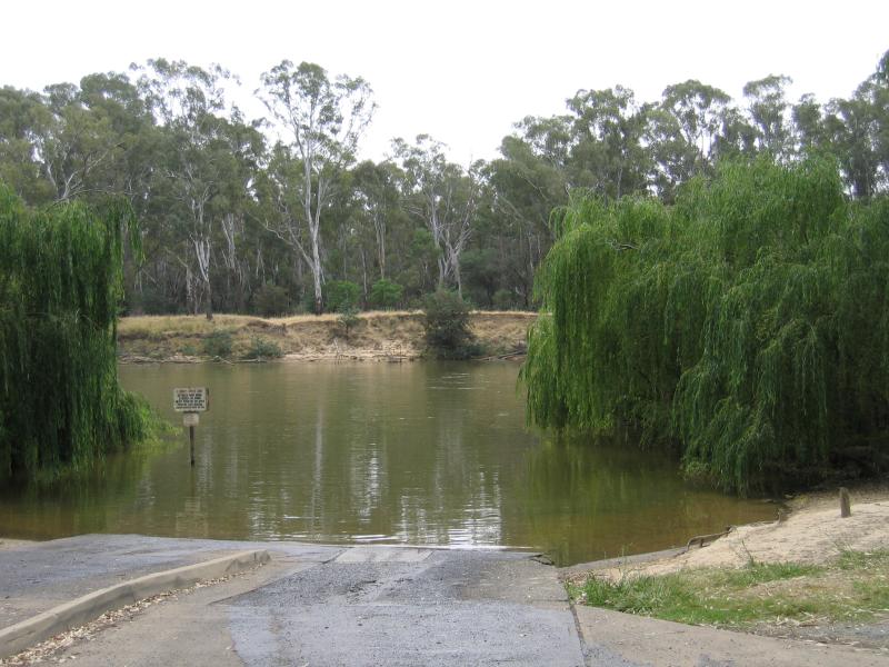 Thompsons Beach at Kennedy Park - Boat ramp
 Bridge across Murray River and surroundings - View south along Murray River towards bridge
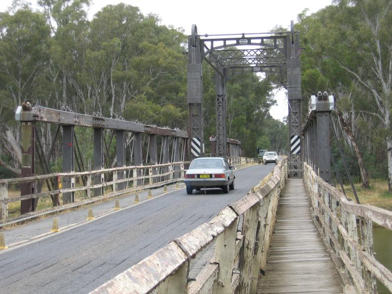
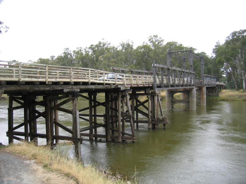 Bridge across Murray River and surroundings - View east along bridge across Murray River
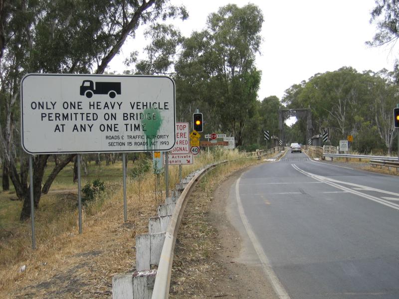 Bridge across Murray River and surroundings - View east along Mookarii St towards bridge across Murray River
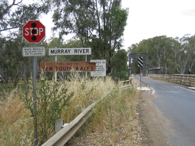 Bridge across Murray River and surroundings - View east along Mookarii St towards bridge and welcome to New South Wales state border sign
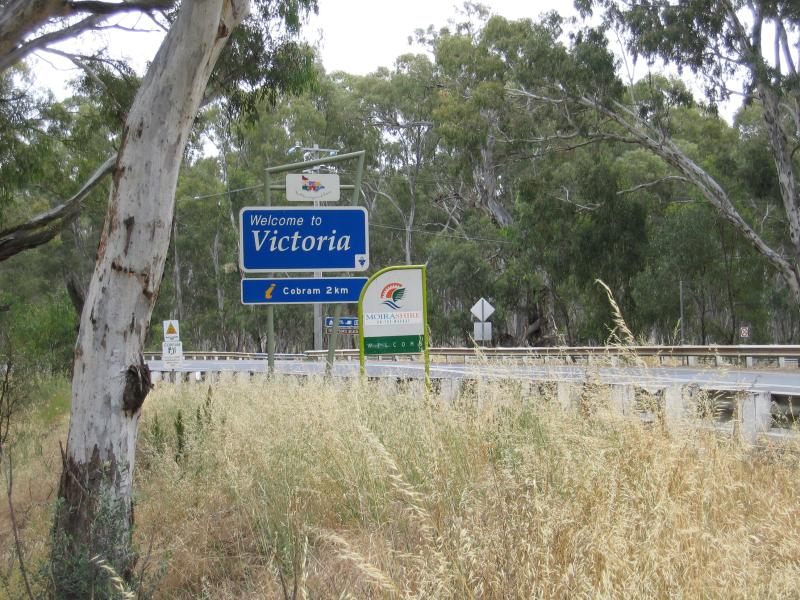 Bridge across Murray River and surroundings - Welcome to Victoria state border sign, view west along Mookarii St at bridge across Murray River
 Bridge across Murray River and surroundings - Heading east along bridge across Murray river into New South Wales
 Bridge across Murray River and surroundings - View south along Murray River into Victoria from bridge
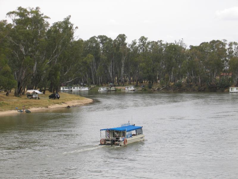
 Bridge across Murray River and surroundings - View south along Murray River from bridge towards ski beach in Barooga New South Wales
 Bridge across Murray River and surroundings - View south along Murray River from bridge
 Bridge across Murray River and surroundings - View south along Murray River, south of bridge
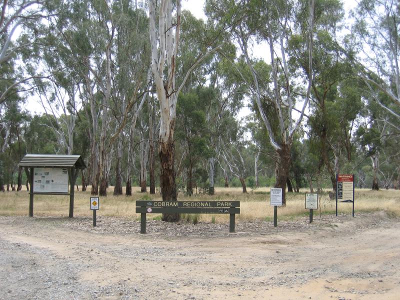 Cobram Regional Park (State Forest) north of Wondah Street - View north along Wondah St at entrance to Cobram Regional Park
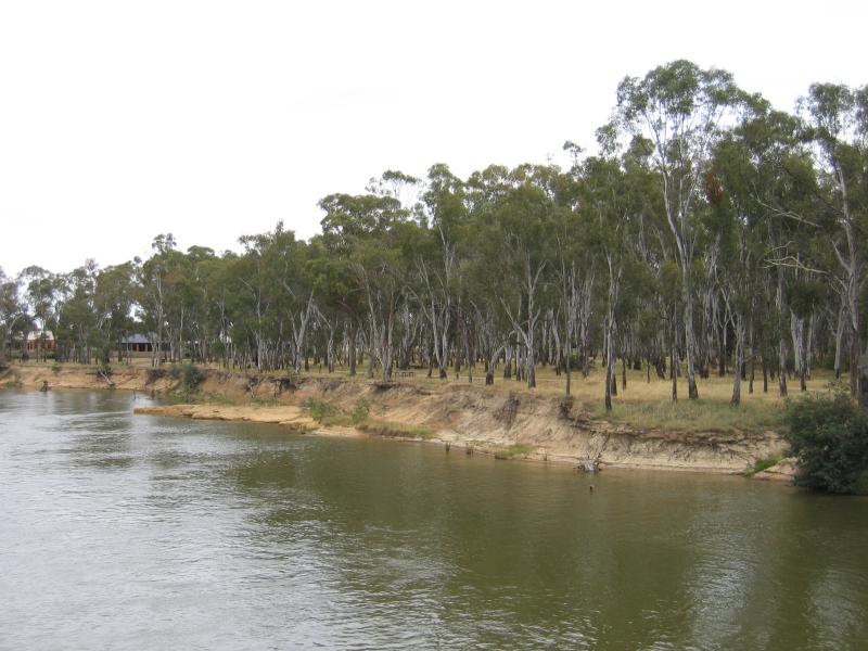
 Cobram Regional Park (State Forest) north of Wondah Street - View along banks of Murray River
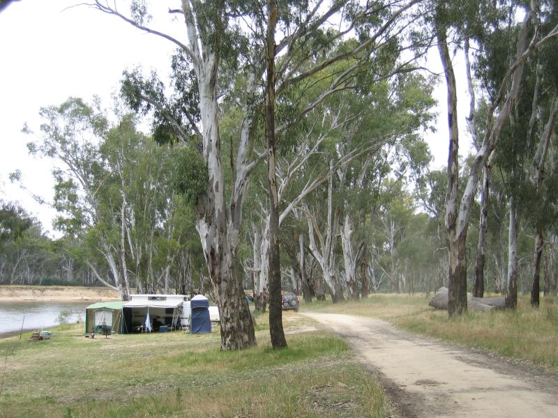
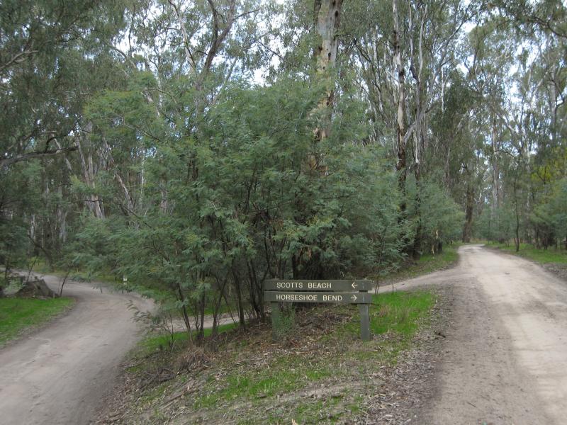 Scotts Beach, off River Road - Access road through forest to Scotts Beach and Horseshoe Bend
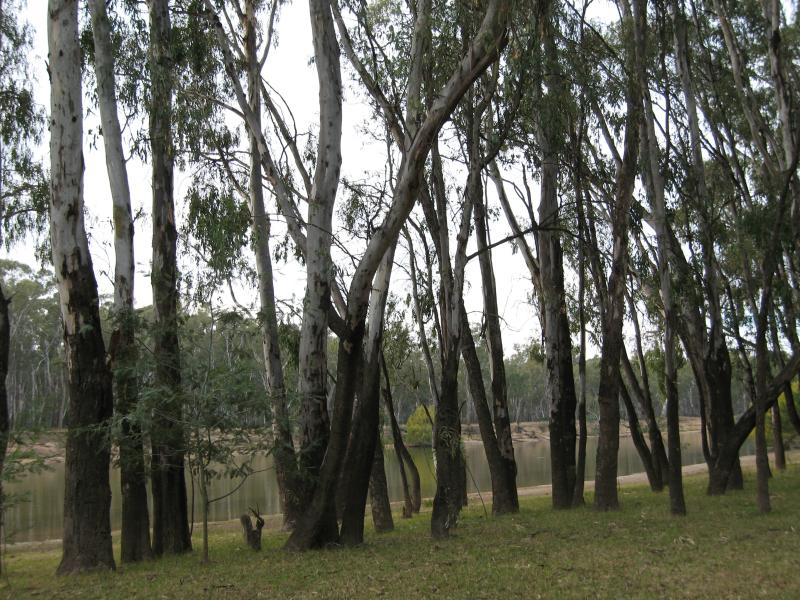 Scotts Beach, off River Road - View to river from forest
 Scotts Beach, off River Road - View along river and beach
 Scotts Beach, off River Road - Boat on river
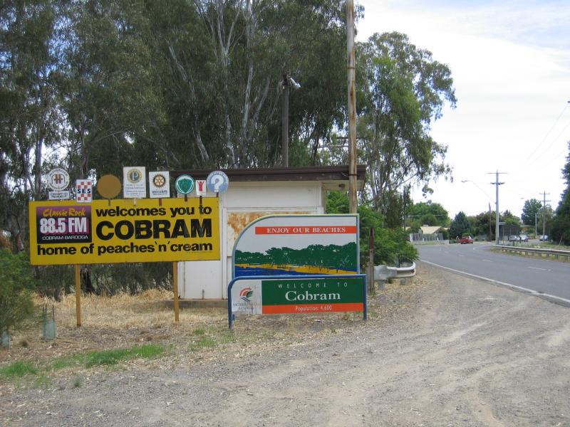
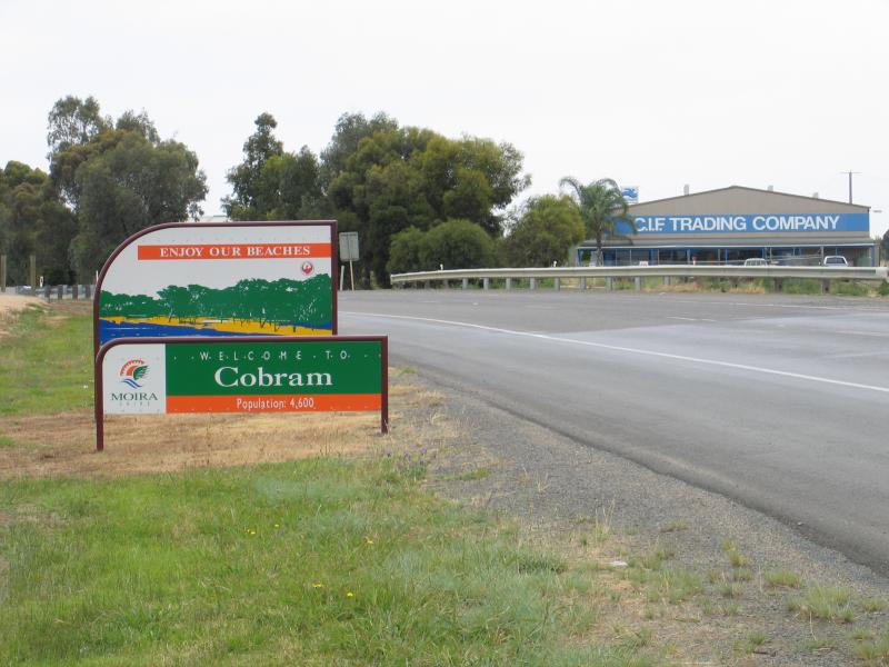 Around Cobram and outskirts - Welcome to Cobram sign, Murray Valley Highway, east of Cobram South Road
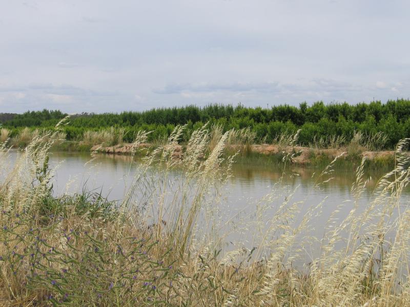 Around Cobram and outskirts - View east along irrigation channel, Campbell Rd
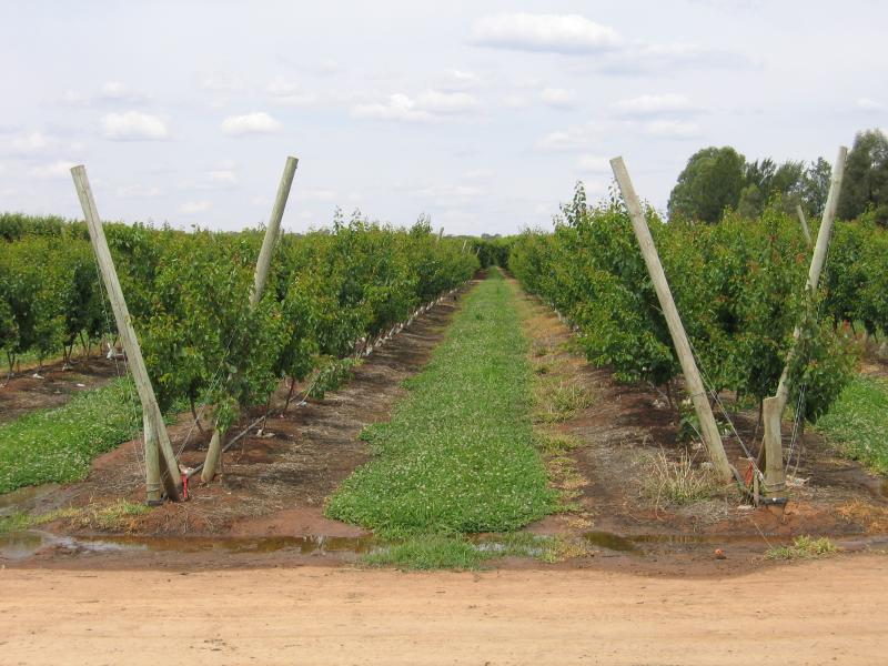 Around Cobram and outskirts - Orchard, Campbell Rd south of irrigation channel
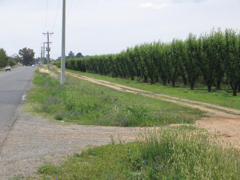 Around Cobram and outskirts - Orchard, view north along Campbell Rd, south of irrigation channel