Cobram - public transport
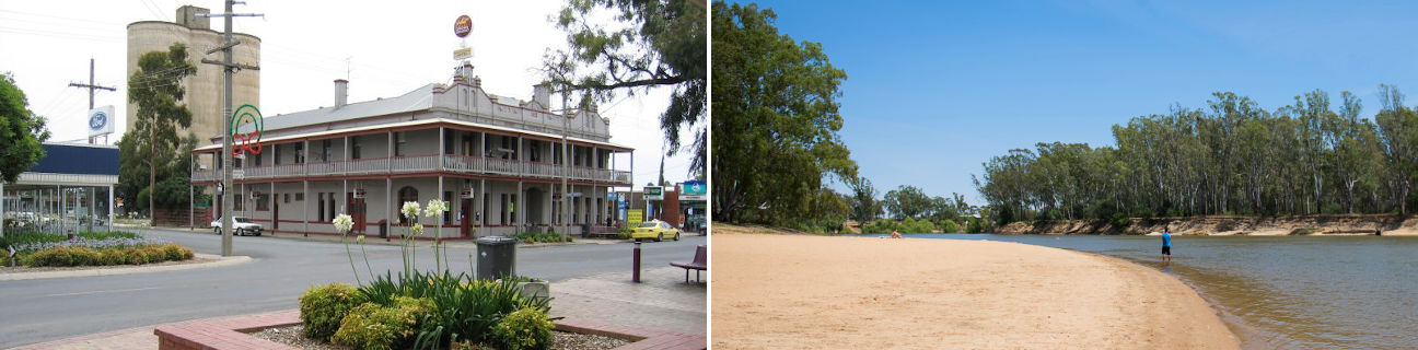
Cobram
Stay
See and do
Food and drink
Shopping
Getting around
Visitor information
Train
Shepparton station
(70 km away)
| Line | Operator | Timetable and stops | Map |
|---|---|---|---|
| Shepparton |  |
Shepparton - Melbourne Via Shepparton, Mooroopna, Murchison East, Nagambie, Seymour, Tallarook, Broadford, Kilmore East, Wandong, Heathcote Junction, Wallan, Donnybrook, Broadmeadows, Essendon, North Melbourne, Southern Cross |
Benalla station
(77 km away)
| Line | Operator | Timetable and stops | Map |
|---|---|---|---|
| Albury - Wodonga | |
Albury (NSW) - Melbourne Via Albury (NSW), Wodonga, Chiltern, Springhurst, Wangaratta, Benalla, Violet Town, Euroa, Avenel, Seymour, Broadmeadows, Essendon, North Melbourne, Southern Cross |
|
| Southern XPT |  |
Melbourne to Sydney Via Southern Cross, Broadmeadows, Seymour, Benalla, Wangaratta, Albury (NSW), Culcairn (NSW), Henty (NSW), The Rock (NSW), Wagga Wagga (NSW), Junee (NSW), Cootamundra(NSW), Harden (NSW), Yass Junction (NSW), Gunning (NSW), Goulburn (NSW), Moss Vale (NSW), Campbelltown (NSW), Sydney (NSW) |
Echuca station
(111 km away)
| Line | Operator | Timetable and stops | Map |
|---|---|---|---|
| Echuca | |
Echuca - Melbourne Via Echuca, Rochester, Elmore, Goornong, Huntly, Epsom, Bendigo, Kangaroo Flat, Castlemaine, Malmsbury, Kyneton, Woodend, Macedon, Gisborne, Riddells Creek, Clarkefield, Sunbury, Footscray, Southern Cross |
Bus
Taxi
| Operator | Areas covered | Phone |
|---|---|---|
| Cobram Barooga Taxis | Barooga (NSW), Cobram | (03) 5871 1111 |