Colac - photos
Colac
Stay
See and do
Food and drink
Shopping
Getting around
Visitor information
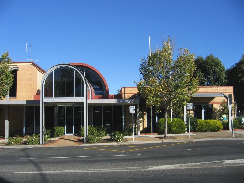
 Shops and commercial centre - Colac Visitor Information Centre, corner Murray St and Queen St
 Shops and commercial centre - View east from Colac Visitor Information Centre towards parkland along Barongarook Creek
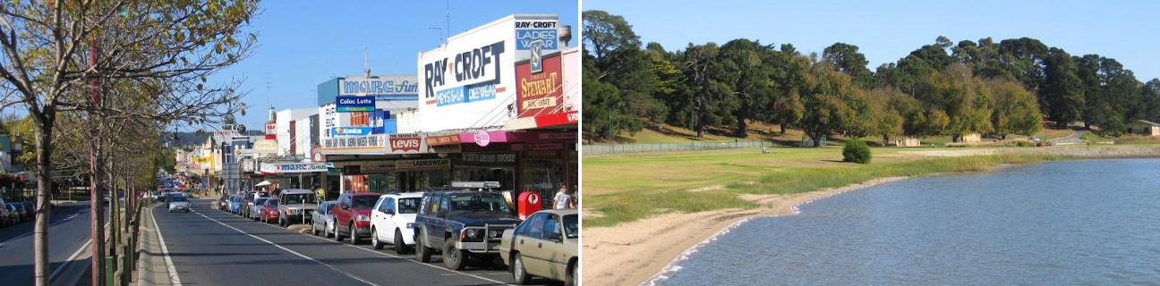
 Shops and commercial centre - View west along Murray St towards Queen St
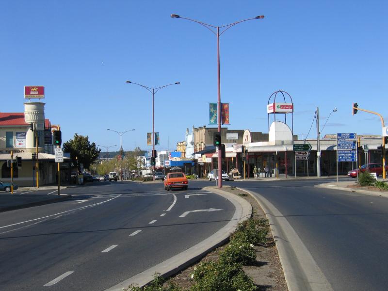
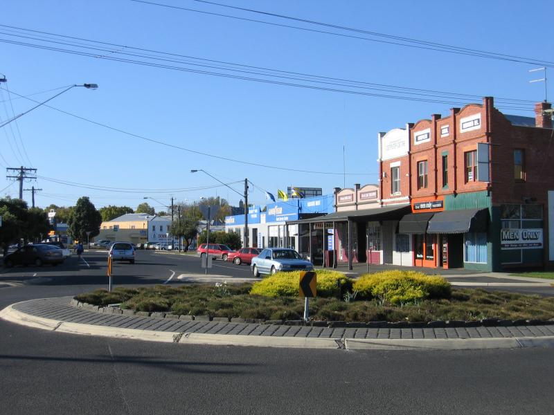
 Shops and commercial centre - View west along Murray St at Queen St
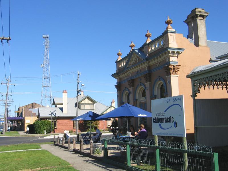
 Shops and commercial centre - Old Post Office and Shire Hall, Murray St at Queen St
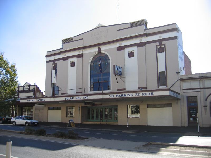 Shops and commercial centre - Old Regent Theatre, now RSL Club, Murray St
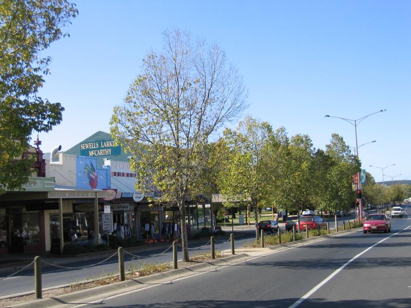
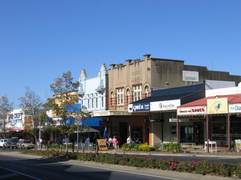
 Shops and commercial centre - View west along Murray St between Hesse St and Gellibrand St
 Shops and commercial centre - View east along Murray St between Hesse St and Gellibrand St
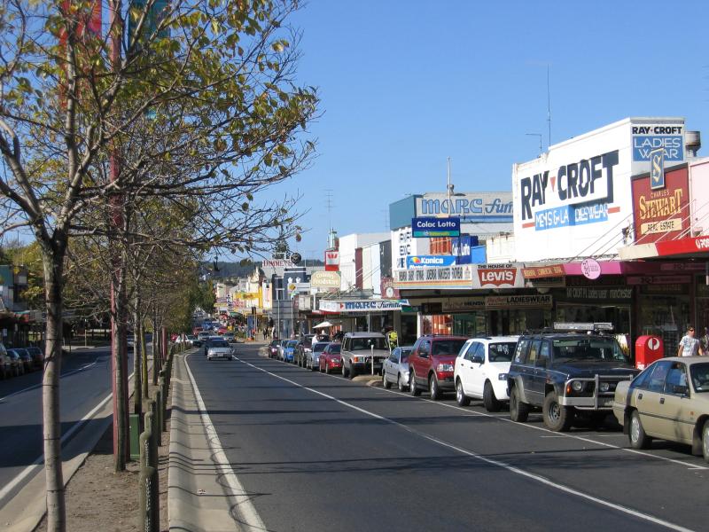
 Shops and commercial centre - View west along Murray St towards Gellibrand St
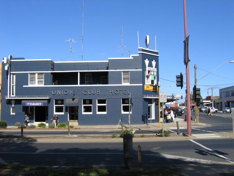 Shops and commercial centre - Union Club Hotel, corner Murray St and Gellibrand St
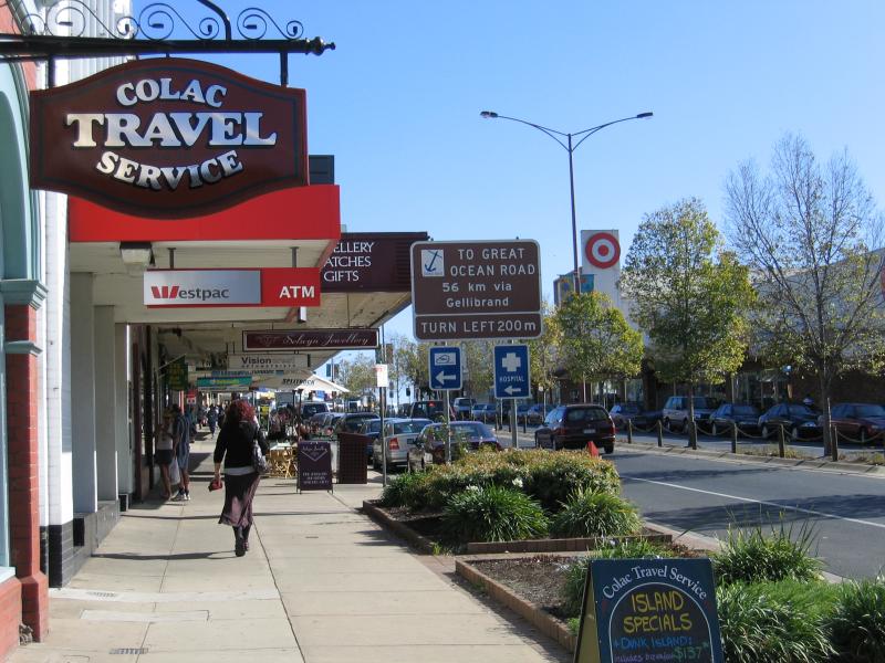 Shops and commercial centre - Footpath, view west along Murray St between Gellibrand St and Corangamite St
 Shops and commercial centre - View east along Murray St towards Gellibrand St
 Shops and commercial centre - View west along Murray St between Gellibrand St and Corangamite St
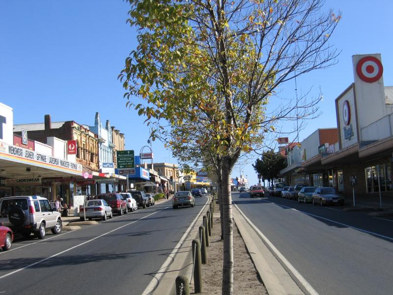
 Shops and commercial centre - Target department store, view west along Murray St between Gellibrand St and Corangamite St
 Shops and commercial centre - View east along Murray St between Gellibrand St and Corangamite St
 Shops and commercial centre - View east along Murray St between Gellibrand St and Corangamite St
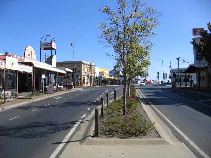 Shops and commercial centre - View west along Murray St towards Corangamite St
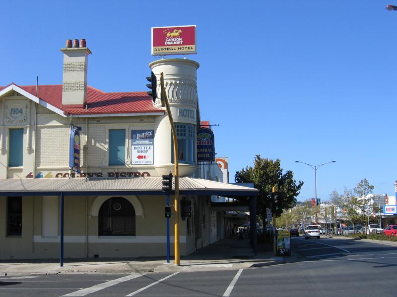 Shops and commercial centre - Austral Hotel, view east along Murray St at Corangamite St
 Shops and commercial centre - View east along Murray St towards Corangamite St
 Shops and commercial centre - View west along Murray St between Corangamite St and Grant St
 Shops and commercial centre - View east along Murray St towards Grant St
 Shops and commercial centre - View east along Murray St at Armstrong St
 Shops and commercial centre - Former IOOF building, now a cafe, corner Gellibrand St and Dennis St
 Shops and commercial centre - View north along Gellibrand St at Rae St
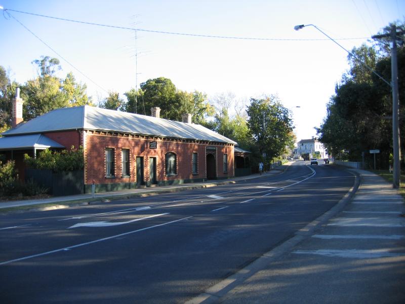
 Shops and commercial centre - View east along Bromfield St towards Gellibrand St
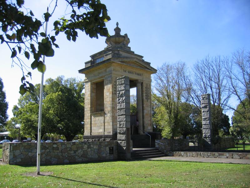 Memorial Square, Murray Street - The Shires Tribute memorial
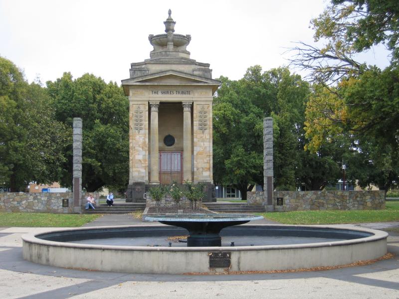 Memorial Square, Murray Street - The Shires Tribute memorial and fountain, viewed from Murray St
 Memorial Square, Murray Street - View from Shires Tribute south towards fountain and shops along Murray St
 Memorial Square, Murray Street - View through Memorial Square towards shops along Murray St
 Memorial Square, Murray Street - View west towards intersection of Murray St and Gellibrand St
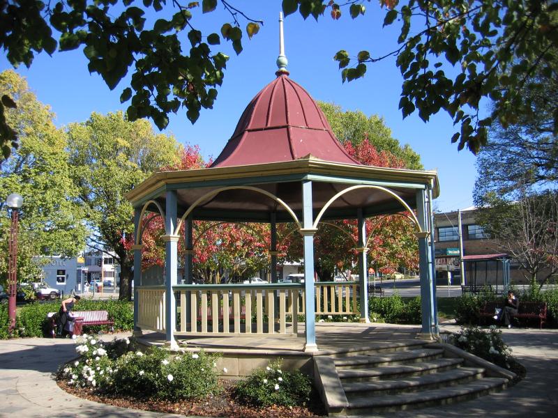 Memorial Square, Murray Street - Rotunda, corner Murray St and Gellibrand St
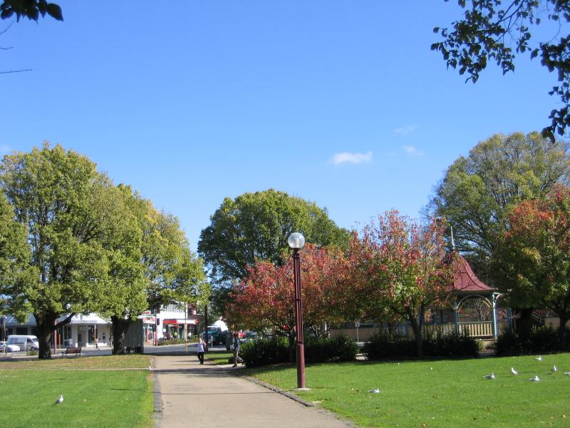
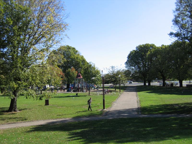 Memorial Square, Murray Street - View towards playground
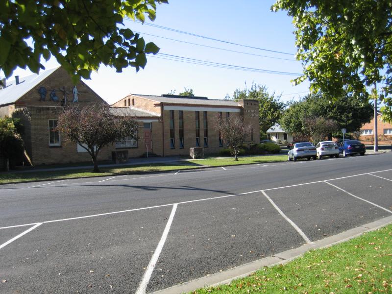 Memorial Square, Murray Street - Baptist Church, opposite Memorial Square, Dennis St
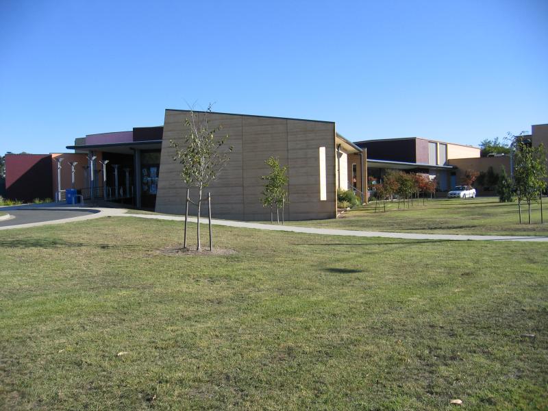 Around Colac - Performing Arts Centre, Rae St
 Around Colac - Municipal Offices, corner Rae St and Corangamite St
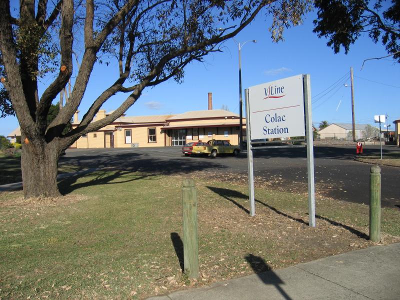 Around Colac - Entrance to Colac railway station, corner Gellibrand St and Railway St
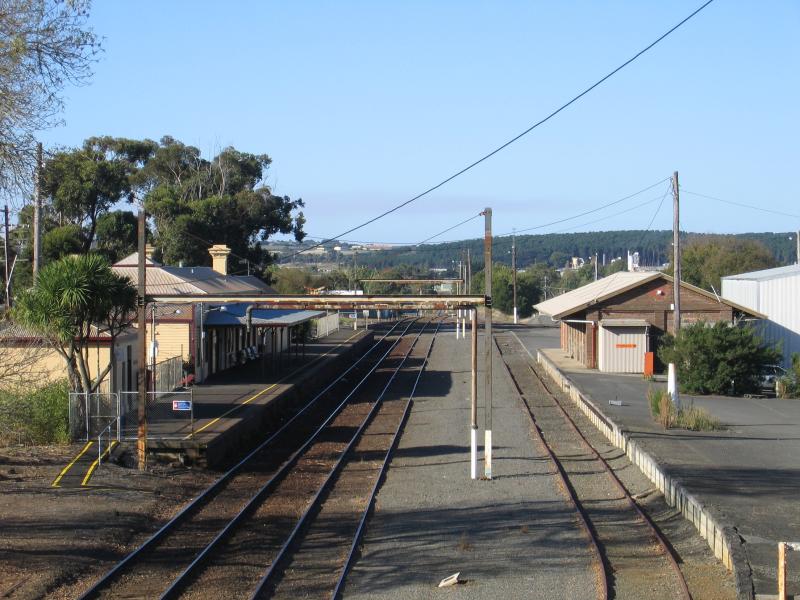 Around Colac - View east along railway line towards Colac station
 Around Colac - View across oval from grandstand, Central Reserve, Gravesend St
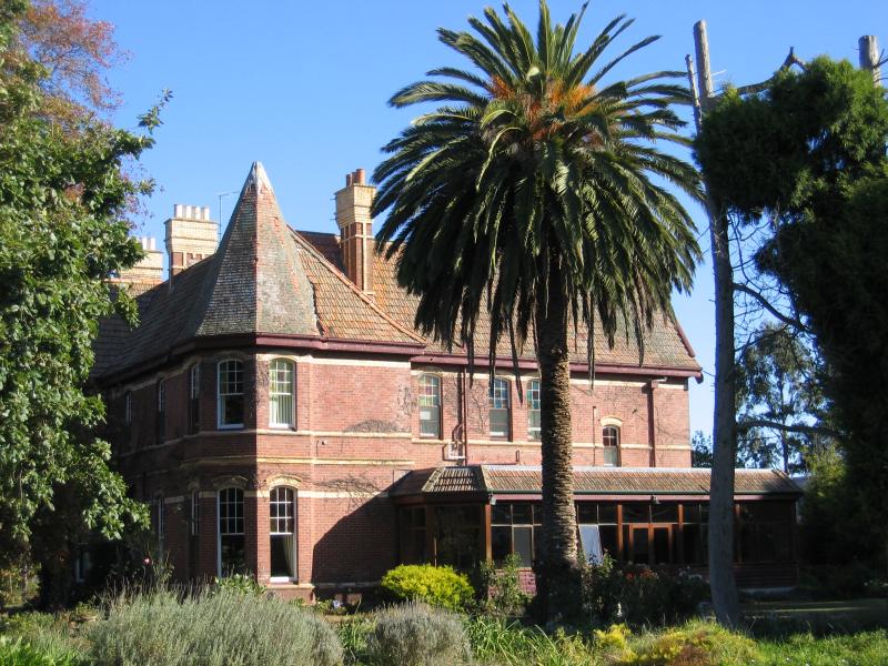 Around Colac - 'Balnagowan' historic house, Balnagowan Av
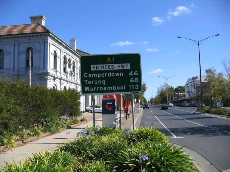
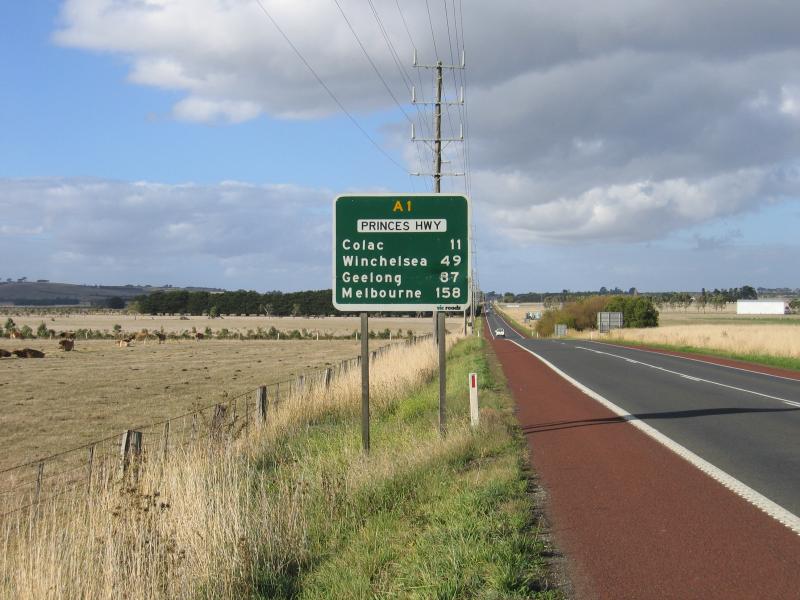 Around Colac - View east along Princes Hwy, 11 km west of Colac
 Sculpture Park, Murray Street at Barongarook Creek - View west along Murray St towards Barongarook Creek
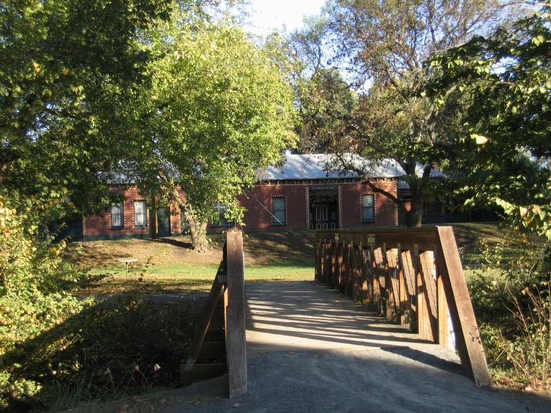 Sculpture Park, Murray Street at Barongarook Creek - Footbridge across Barongarook Creek
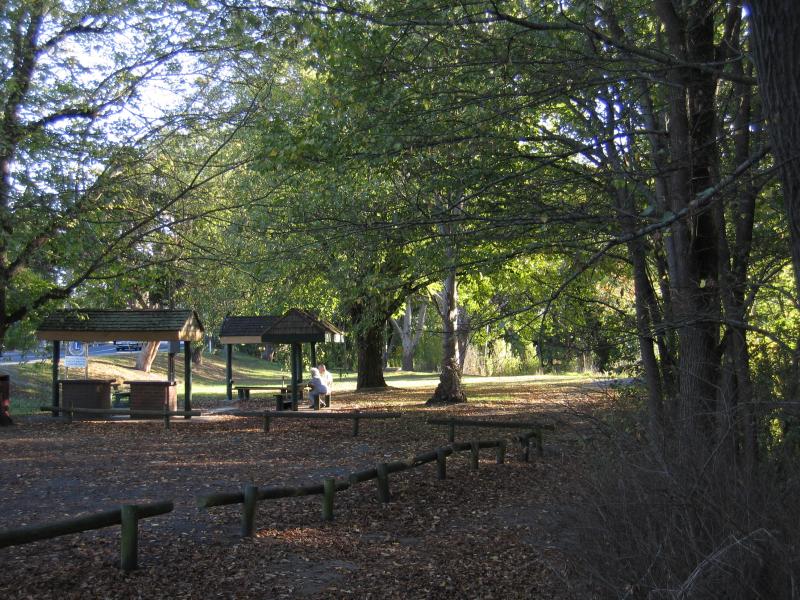 Sculpture Park, Murray Street at Barongarook Creek - BBQ and picnic shelters
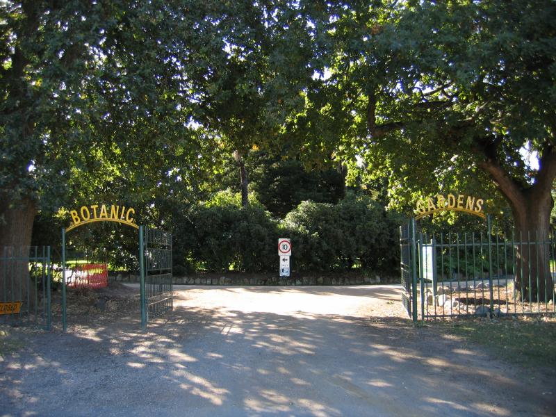 Botanic Gardens, Fyans Street - Entrance to Botanic Gardens, Fyans St at Queen St
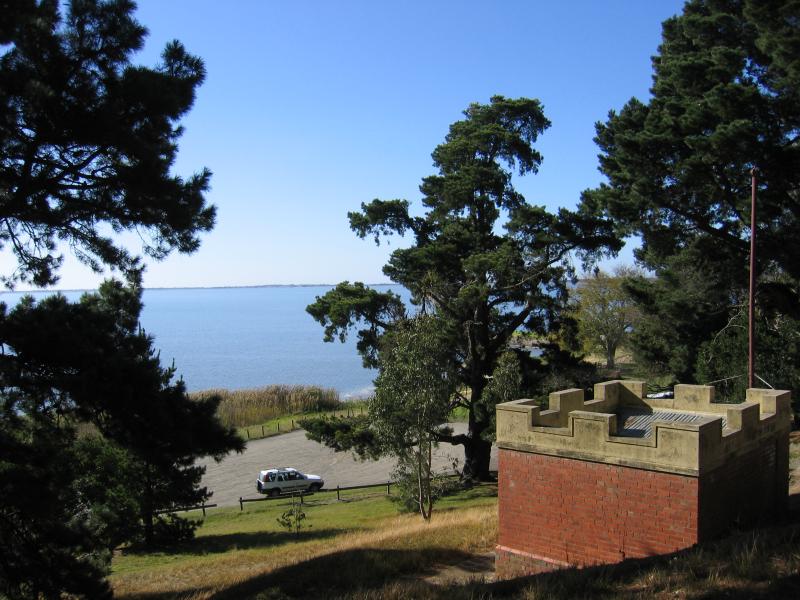
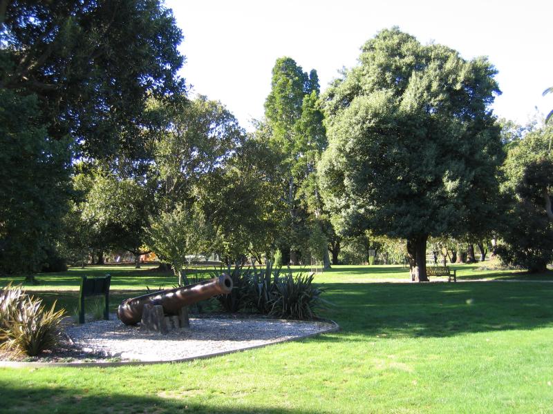 Botanic Gardens, Fyans Street - Cannon originally from HMVS Nelson training ship
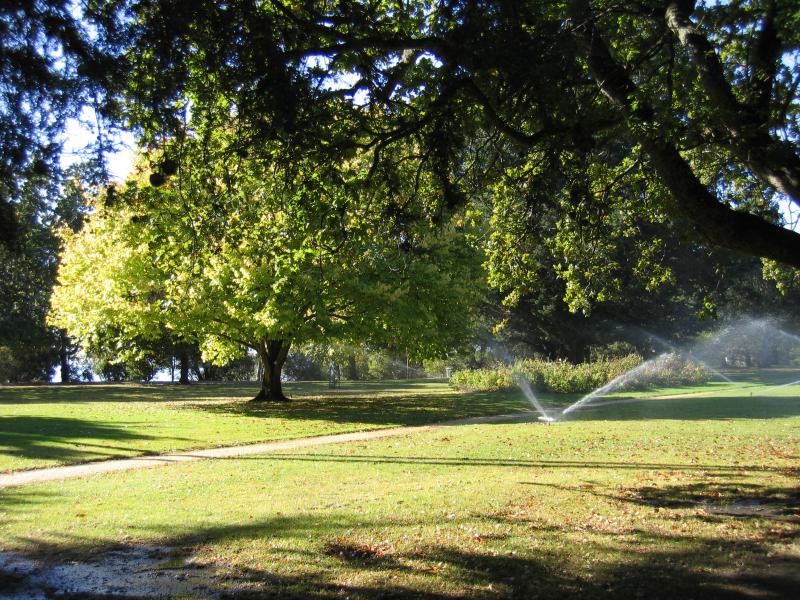 Botanic Gardens, Fyans Street - Gardens
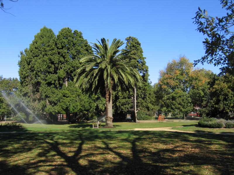 Botanic Gardens, Fyans Street - Gardens
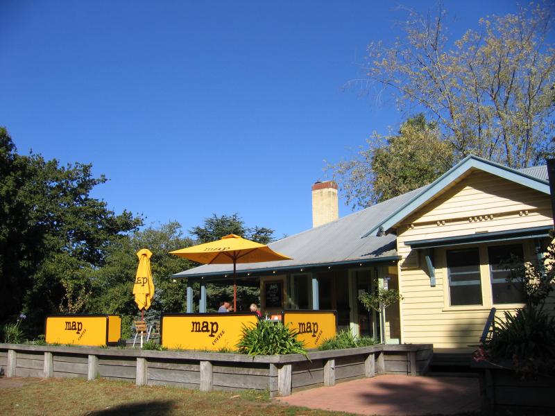 Botanic Gardens, Fyans Street - Cafe
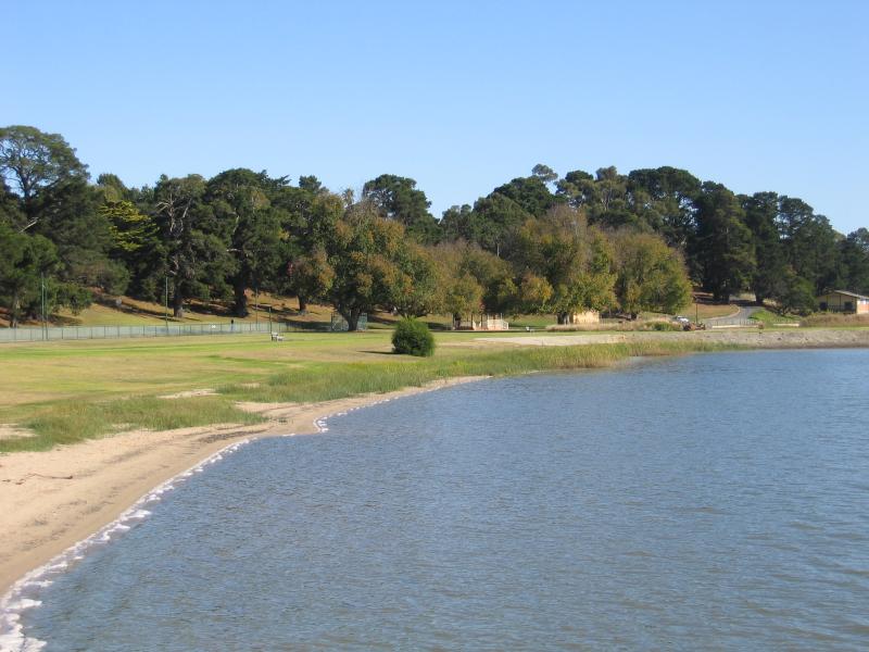
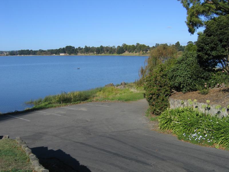
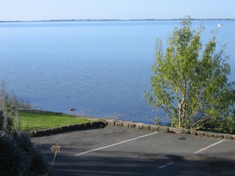
 Botanic Gardens, Fyans Street - View north across Lake Colac from gardens
 Botanic Gardens, Fyans Street - View east along Fyans St at Gellibrand St
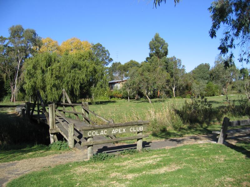 Lake Colac near Botanic Gardens - Colac Apex Club gardens, bridge across Barongarook Creek opposite Botanic Gardens
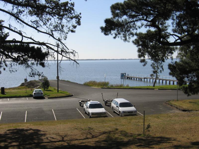 Lake Colac near Botanic Gardens - View towards boat ramp and jetty
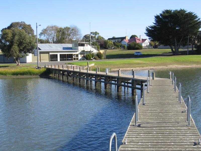
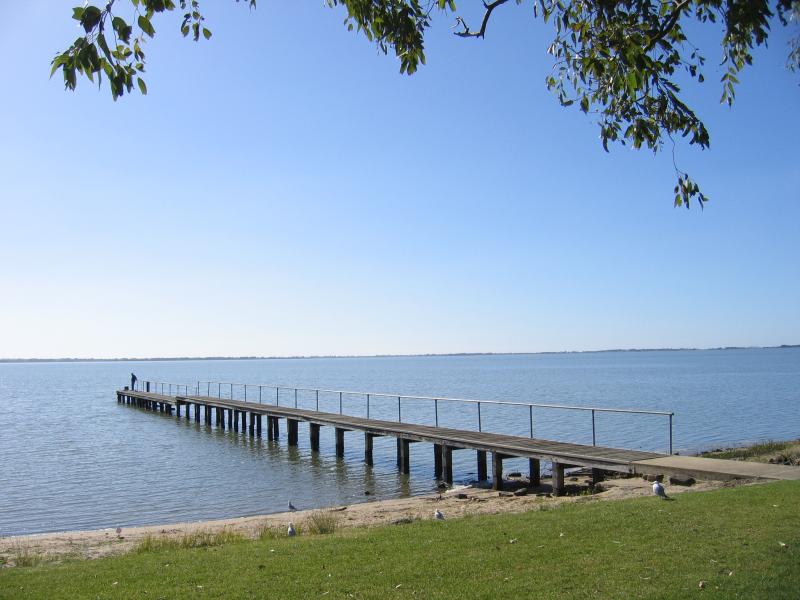 Lake Colac near Botanic Gardens - Jetty
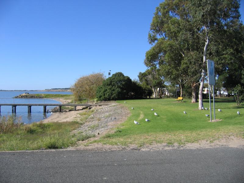 Lake Colac near Botanic Gardens - View east along foreshore towards jetty
 Lake Colac near Botanic Gardens - View south to foreshore from jetty
 Lake Colac near Botanic Gardens - View east along foreshore from jetty
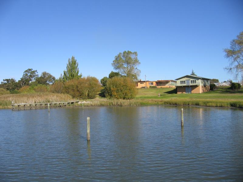
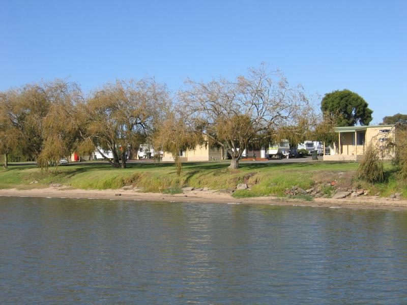 Lake Colac near Botanic Gardens - View towards caravan park from jetty
 Lake Colac near Botanic Gardens - View west along foreshore from jetty towards boat ramp
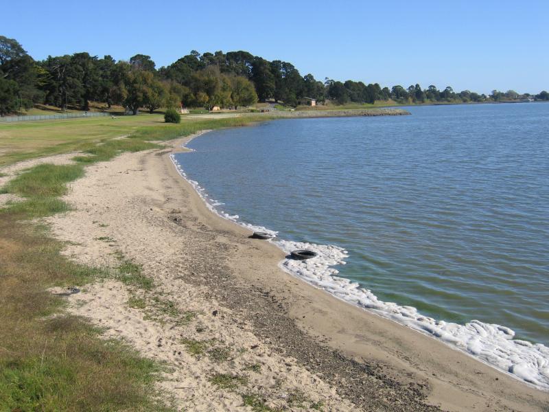 Lake Colac near Botanic Gardens - View west along beach and foreshore from boat ramp
 Lake Colac near Botanic Gardens - View along foreshore from boat ramp
 Lake Colac near Botanic Gardens - View east along foreshore towards boat ramp and jetty
 Lake Colac near Botanic Gardens - View east along foreshore towards car park at boat ramp
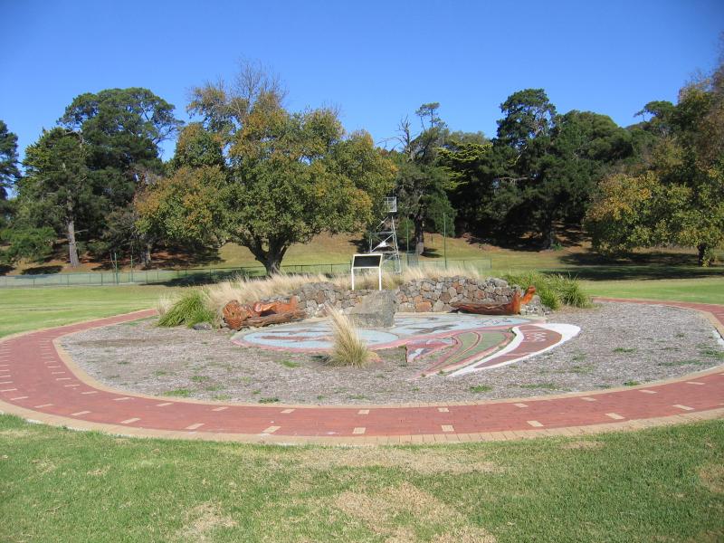 Lake Colac near Botanic Gardens - Tachyglossus mosaic on the foreshore
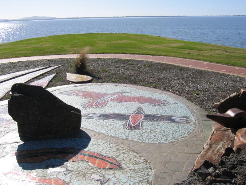 Lake Colac near Botanic Gardens - Tachyglossus foreshore mosaic and view of Lake Colac
 Lake Colac near Botanic Gardens - Shelter on foreshore
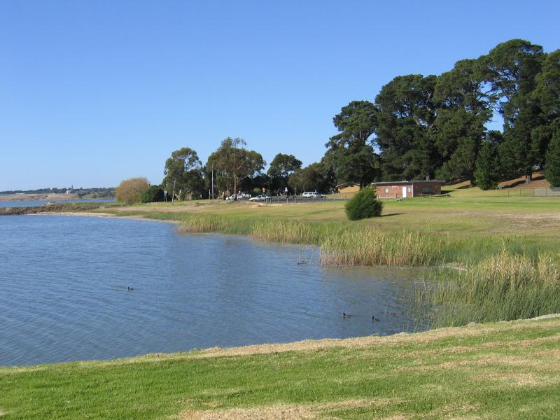
 Lake Colac near Botanic Gardens - View west along foreshore towards Rowing Club
 Lake Colac near Yacht Club and Lawn Bowls off Queens Avenue - View east along lake foreshore
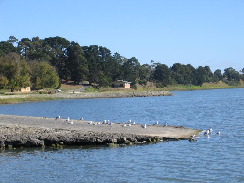
 Lake Colac near Yacht Club and Lawn Bowls off Queens Avenue - View towards foreshore and Yacht Club from jetty
 Lake Colac near Yacht Club and Lawn Bowls off Queens Avenue - View from jetty towards foreshore
 Lake Colac, western end of town - View south-east along lake foreshore from eastern end of Stodart St
 Lake Colac, western end of town - View east across lake from eastern end of Stodart St
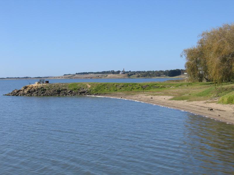
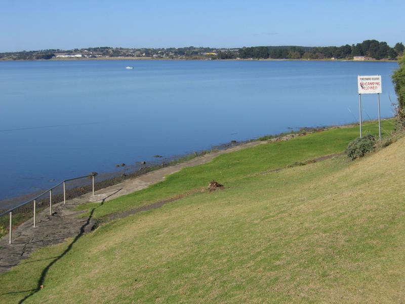 Lake Colac, western end of town - View east along lake foreshore reserve from Balnagowan Av at Ross Point
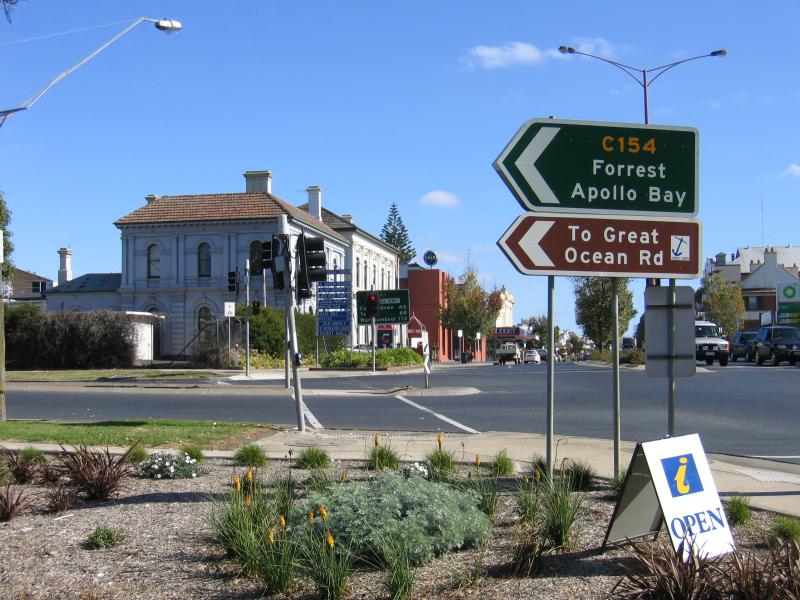
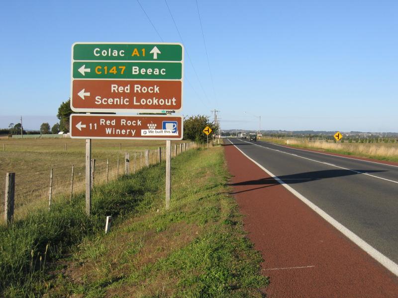 Red Rock turn-off, Princes Highway - View east along Princes Hwy towards Corangamite Lake Rd
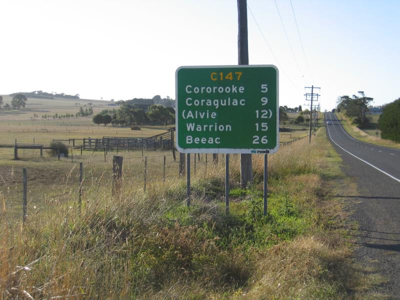 Red Rock turn-off, Princes Highway - View north along Corangamite Lake Rd near Princes Hwy
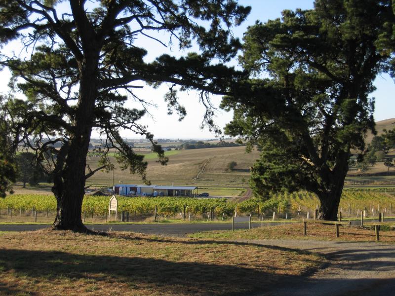 Red Rock Reserve playground - View towards Red Rock Winery
 Red Rock Reserve playground - View east from playground
 Red Rock Reserve playground - View towards Red Rock Winery from road between Red Rock Reserve and lookout
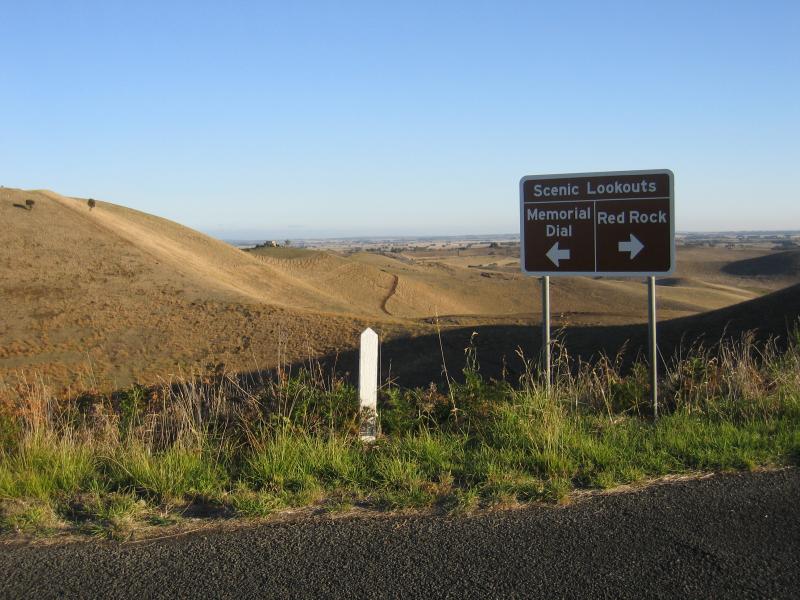 Red Rock main lookout - Intersection of road to lookout and to memorial dial
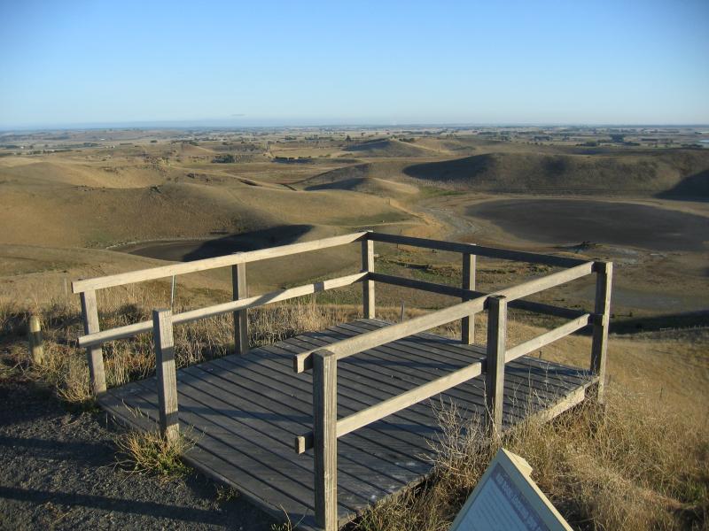 Red Rock main lookout - Viewing platform at car park
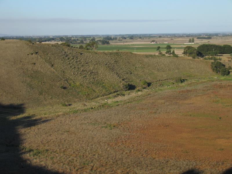
 Red Rock main lookout - Southerly view across volcanic landscape from car park
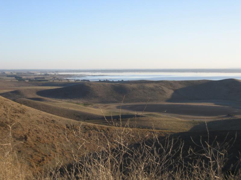
 Red Rock main lookout - South-westerly view across volcanic landscape towards Lake Corangamite from car park
 Red Rock main lookout - Northerly view from car park
 Red Rock main lookout - North-easterly view from car park
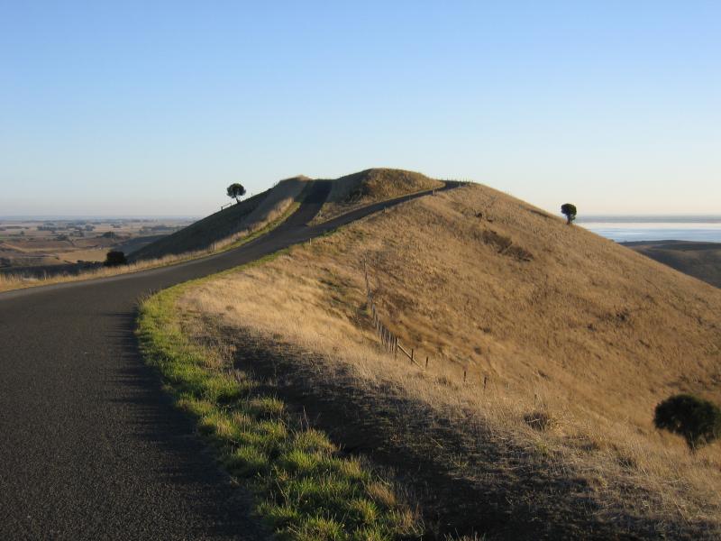
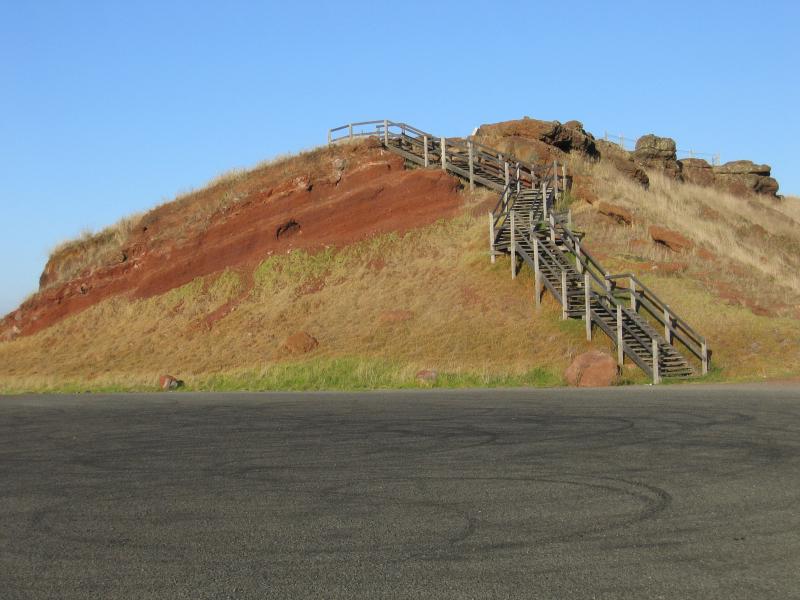 Red Rock main lookout - View towards lookout
 Red Rock main lookout - View from lookout down steps to car park with Lake Corangamite in background
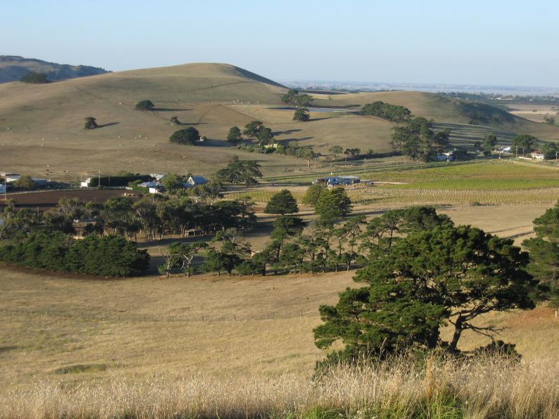
 Red Rock main lookout - View from lookout, south-east towards Red Rock Winery
 Red Rock main lookout - Easterly view from lookout
 Red Rock main lookout - Northerly view from lookout
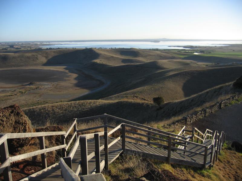
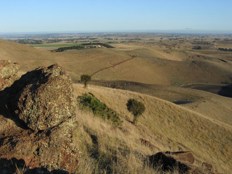
 Red Rock main lookout - South-westerly view towards Lake Corangamite
 Red Rock main lookout - Southerly view from lookout
 Red Rock memorial dial and lookout - War memorial, along road to memorial dial
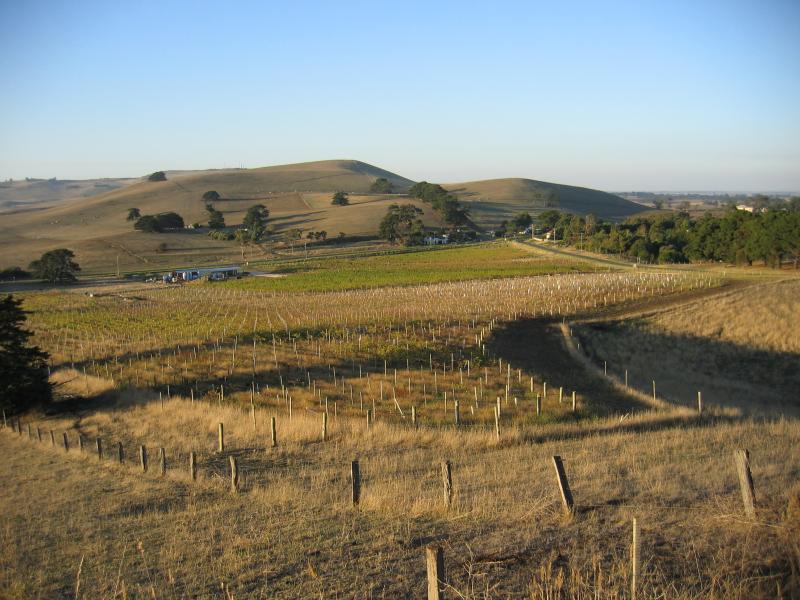
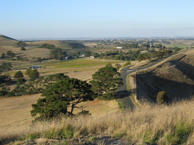
 Red Rock memorial dial and lookout - View towards Red Rock Winery from road to memorial dial
 Red Rock memorial dial and lookout - South-westerly view towards Lake Corangamite from road to memorial dial
 Red Rock memorial dial and lookout - View along road to memorial dial and lookout
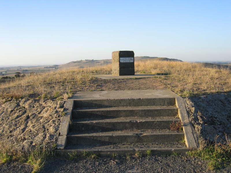 Red Rock memorial dial and lookout - Memorial dial
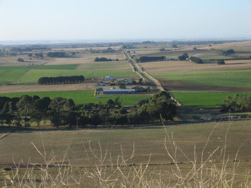
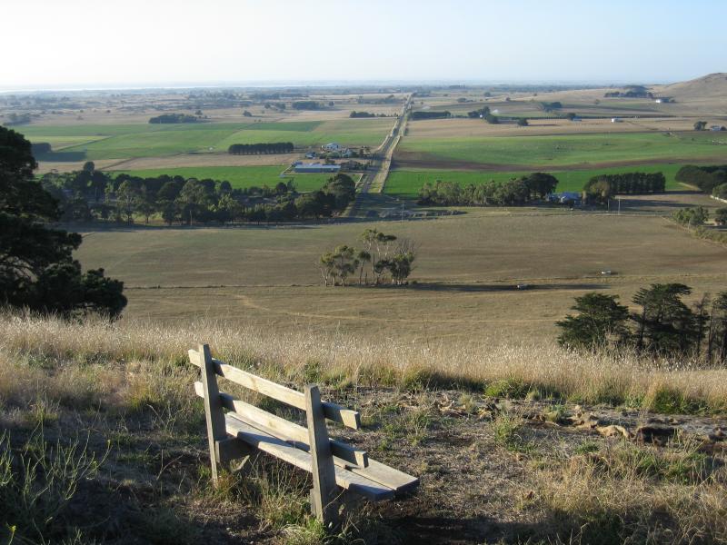
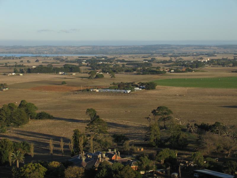
 Red Rock memorial dial and lookout - South-easterly view towards Lake Colac from lookout
 Red Rock memorial dial and lookout - Southerly view towards Lake Colac from lookout
 Lake Corangamite - View south-west across Lake Corangamite from Baynes Rd