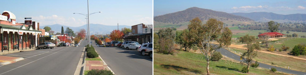
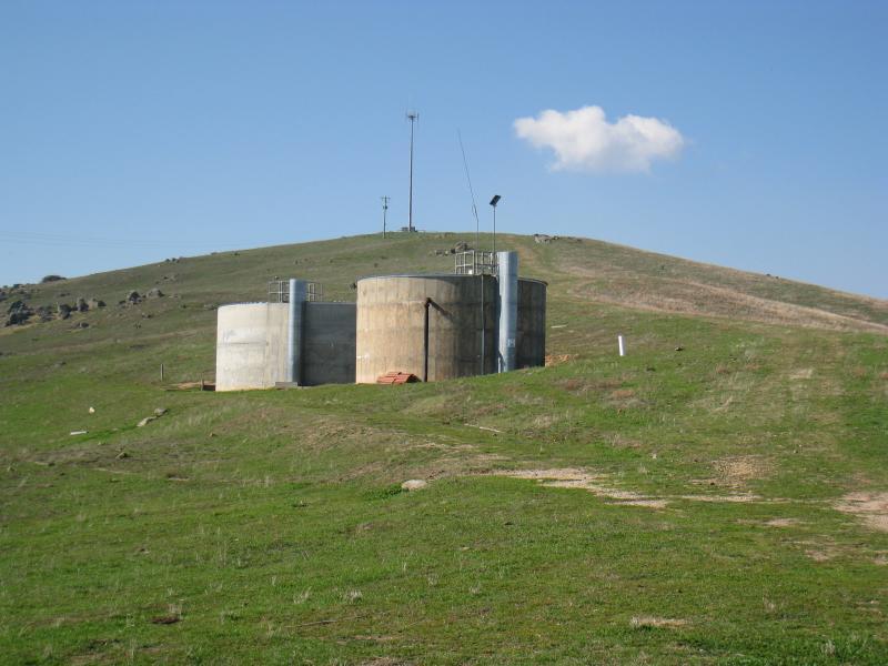
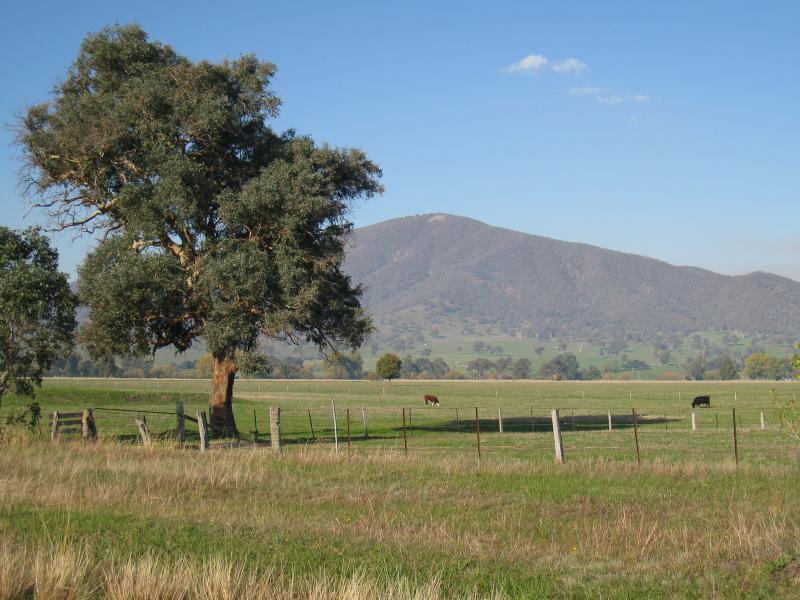
Corryong - photos
Corryong
Stay
See and do
Food and drink
Shopping
Getting around
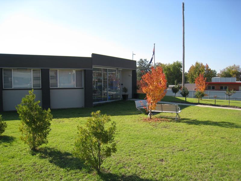
Visitor information
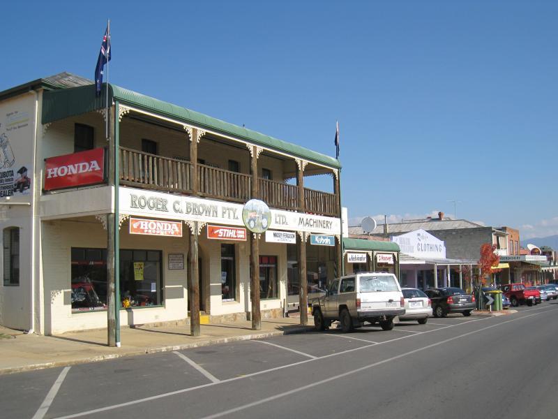
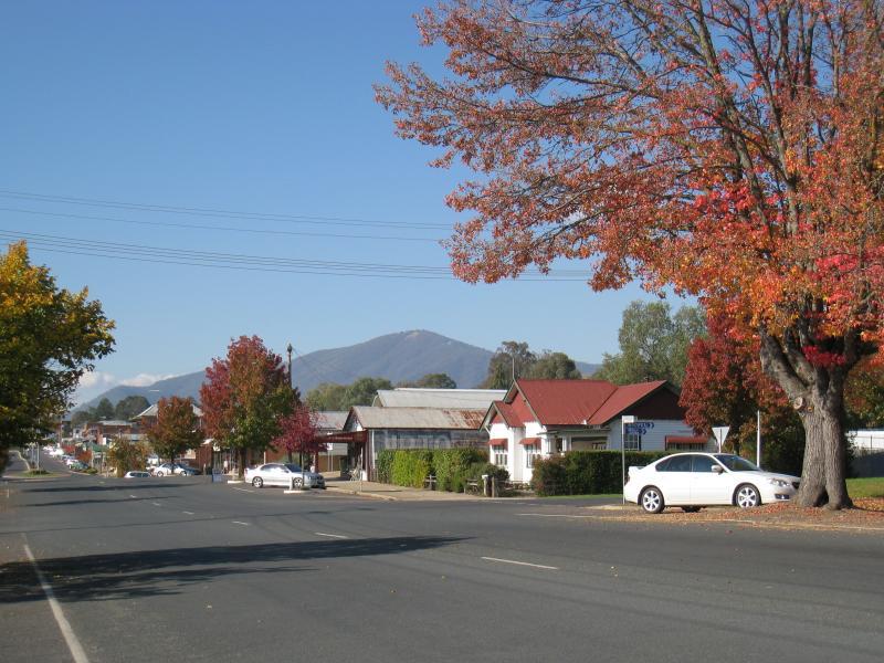
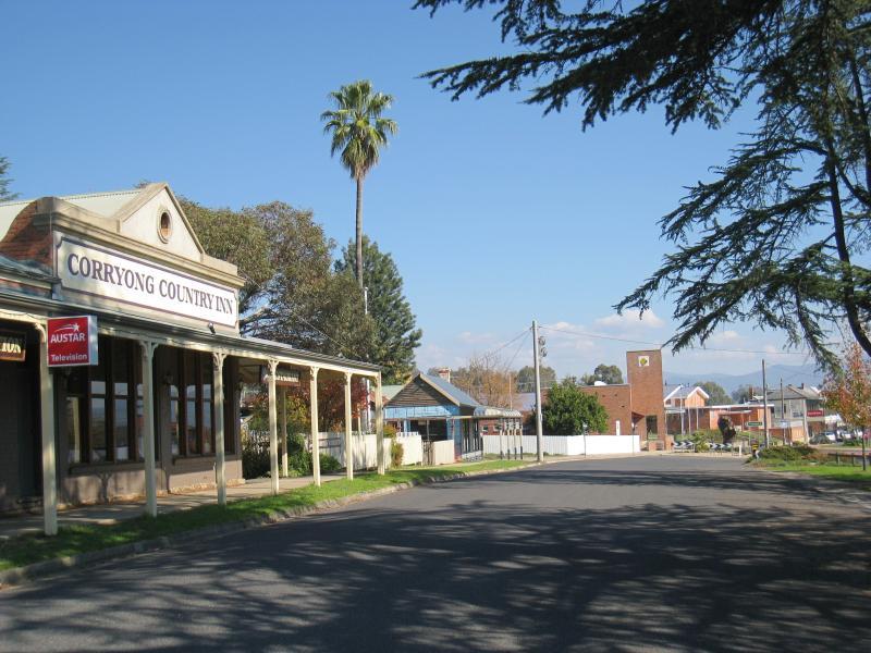 Shops and commercial centre, Hansen Street - Corryong Country Inn, view south-west along Towong Rd service road towards Donaldson St
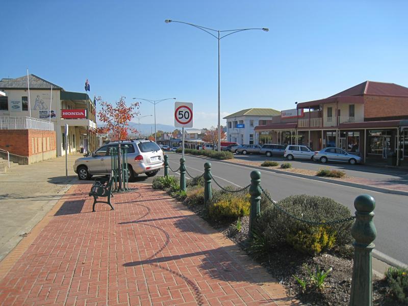
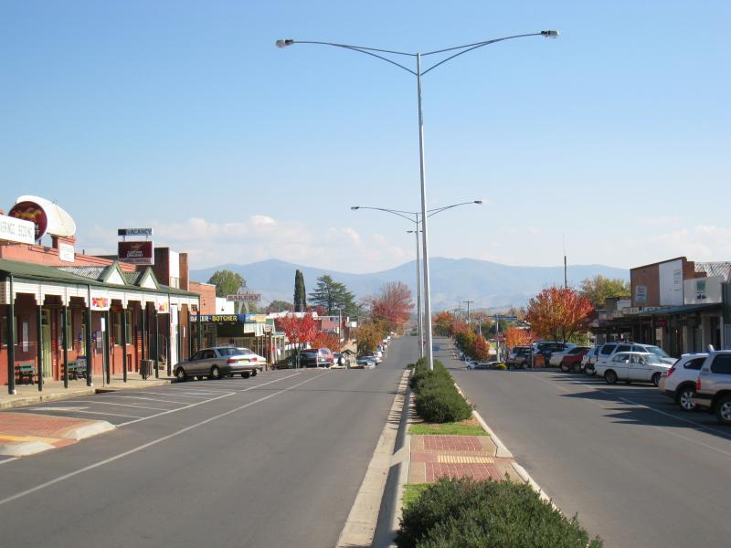
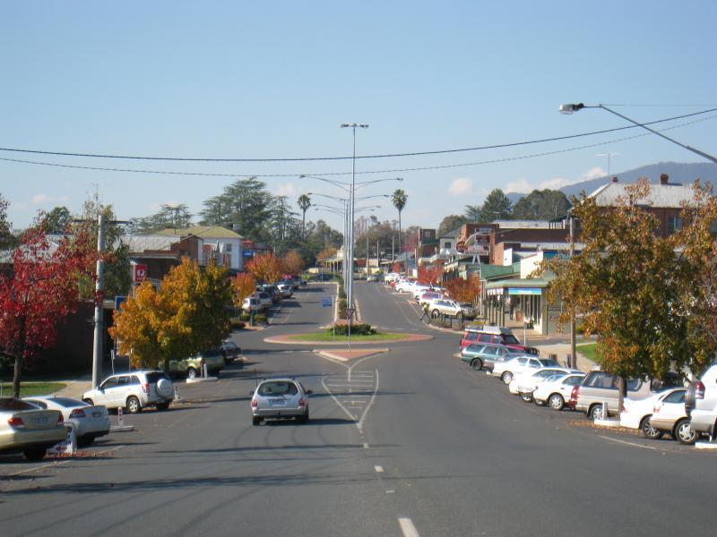
 Shops and commercial centre, Hansen Street - View south-west along Towong Rd towards Donaldson St
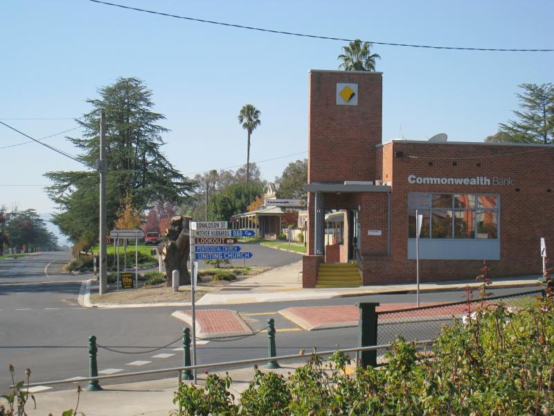
 Shops and commercial centre, Hansen Street - View south-west along Hansen St at Donaldson St
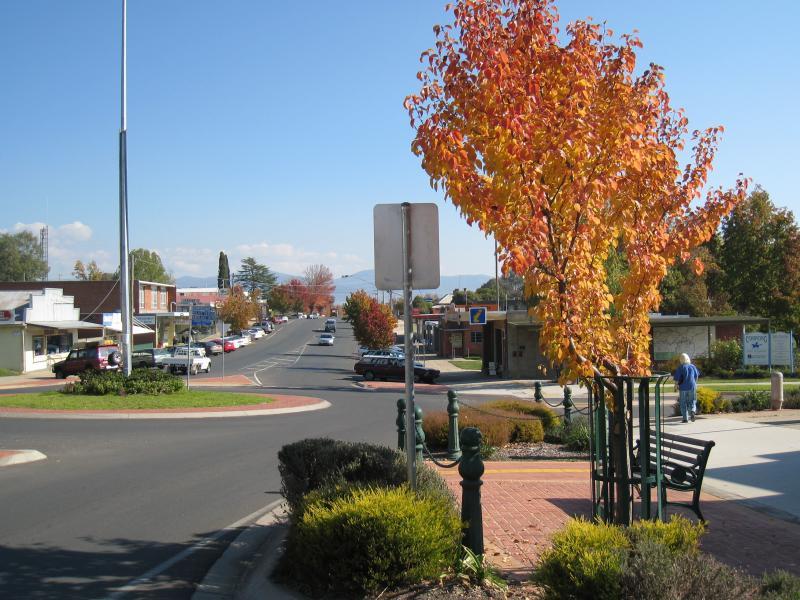
 Shops and commercial centre, Hansen Street - View north-east along Towong Rd at Donaldson St
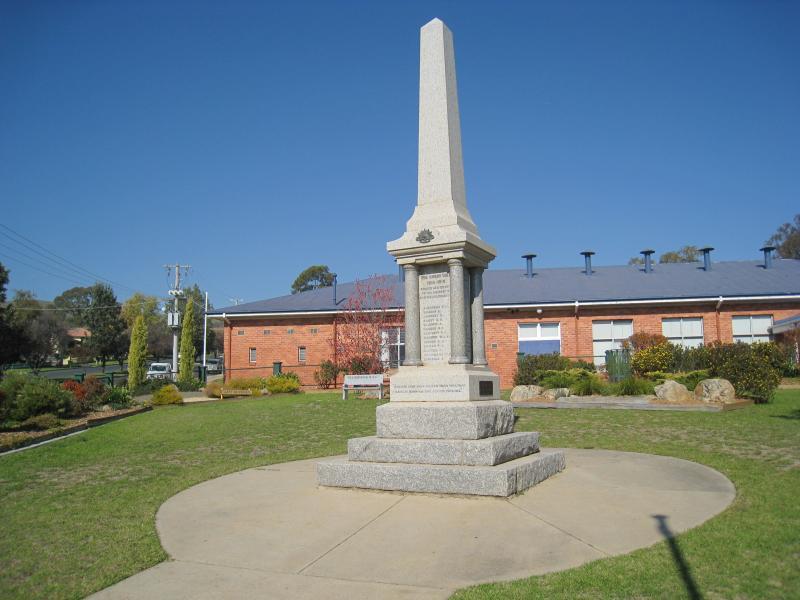 Shops and commercial centre, Hansen Street - War memorial and RSL Hall, corner Hansen St and Donaldson St
 Shops and commercial centre, Hansen Street - View of Corryong Memorial Hall from corner of Hansen St and Donaldson St
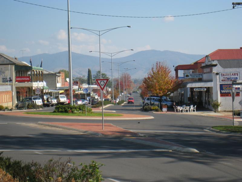
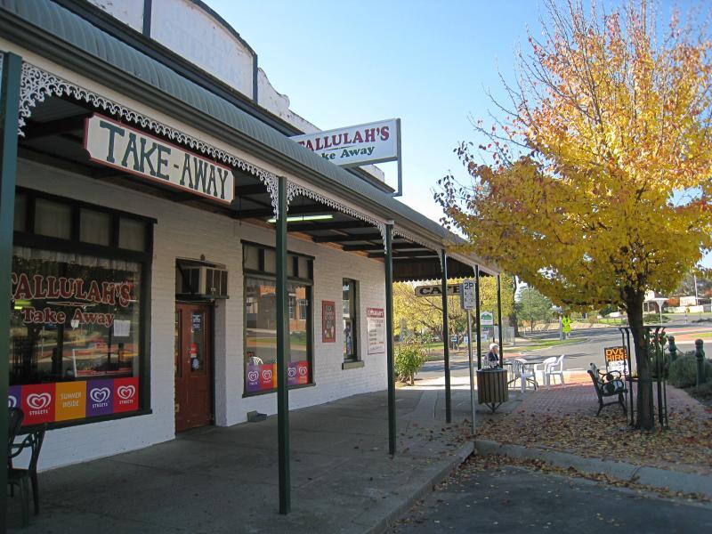 Shops and commercial centre, Hansen Street - Tallulah's cafe, corner Hansen St and Donaldson St
 Shops and commercial centre, Hansen Street - View north across Hansen St on west side of Donaldson St
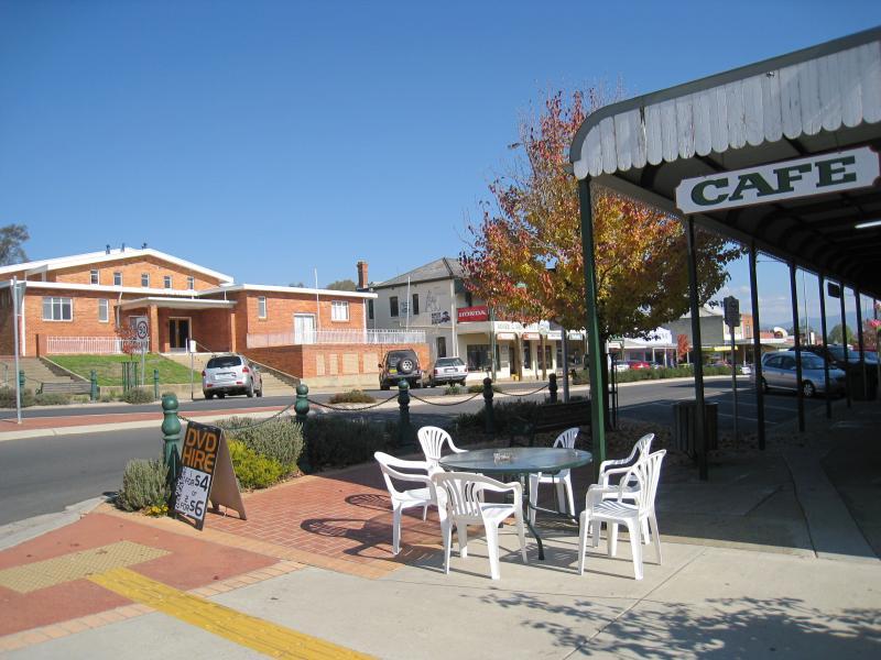
 Shops and commercial centre, Hansen Street - View south-west along Hansen St at Donaldson St
 Shops and commercial centre, Hansen Street - Shops along south side of Hansen St, west of Donaldson St
 Shops and commercial centre, Hansen Street - Man From Snowy River Arcade, south side of Hansen St
 Shops and commercial centre, Hansen Street - View south-west along Hansen St west of Donaldson St
 Shops and commercial centre, Hansen Street - View north-east along Hansen St towards Donaldson St
 Shops and commercial centre, Hansen Street - View north-east along Hansen St towards Donaldson St
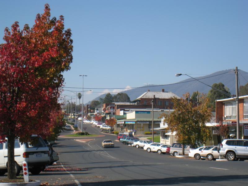
 Shops and commercial centre, Hansen Street - View south-west along Hansen St between Donaldson St and Jardine St
 Shops and commercial centre, Hansen Street - View south-west along Hansen St at Courthouse Hotel
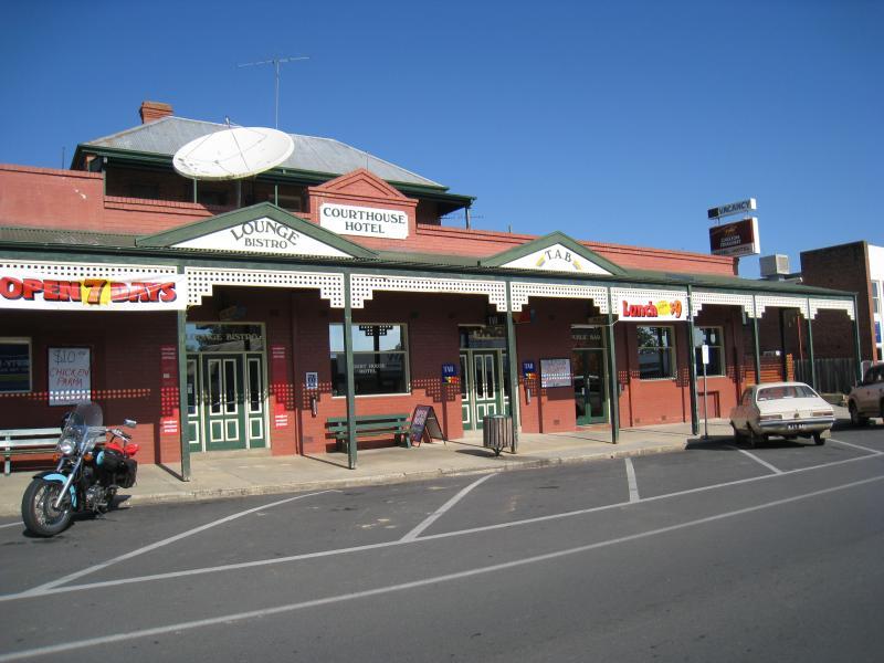 Shops and commercial centre, Hansen Street - Courthouse Hotel, south side of Hansen St
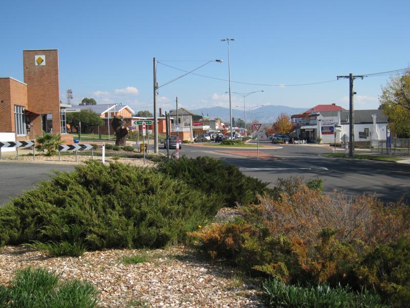
 Shops and commercial centre, Hansen Street - View north-east along Hansen St at Jardine St
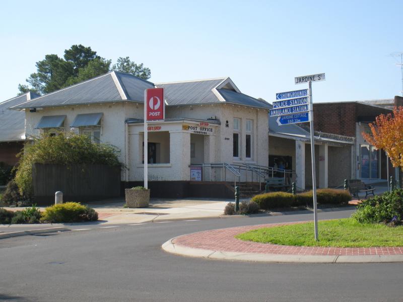 Shops and commercial centre, Hansen Street - Corryong Post Office, corner Hansen St and Jardine St
 Shops and commercial centre, Hansen Street - Corner Hansen St and Jardine St
 Shops and commercial centre, Hansen Street - View south-west along Hansen St at Jardine St
 Shops and commercial centre, Hansen Street - View north-east along Hansen St towards Jardine St
 Shops and commercial centre, Hansen Street - View north-east along Hansen St towards Jardine St
 Shops and commercial centre, Hansen Street - Rotunda and gardens at P.W. Attree Park
 Shops and commercial centre, Hansen Street - Council offices, Hansen St west of Jardine St
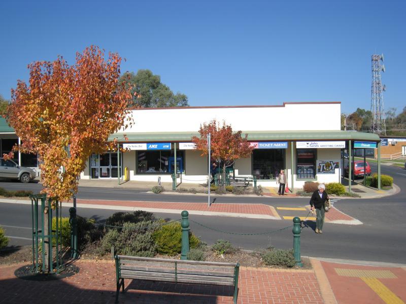
 Shops and commercial centre, Hansen Street - View north-east along Hansen St at Kiell St
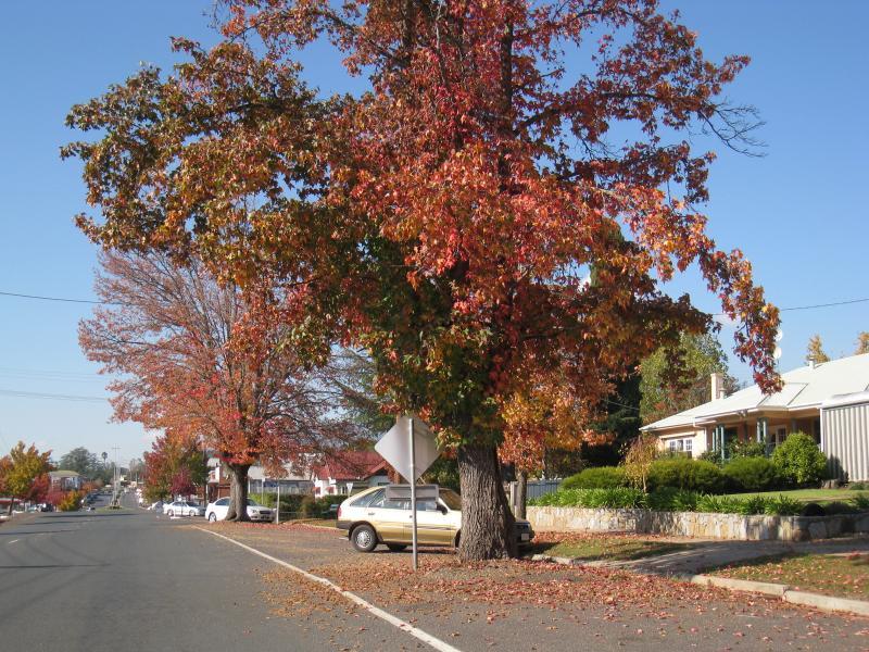 Hansen Street west of Corryong's commercial centre - View north-east along Hansen St between Kiell St and McKay St
 Hansen Street west of Corryong's commercial centre - View south-west along Hansen St towards McKay St
 Hansen Street west of Corryong's commercial centre - Man From Snowy River Museum, corner Hansen St and McKay St
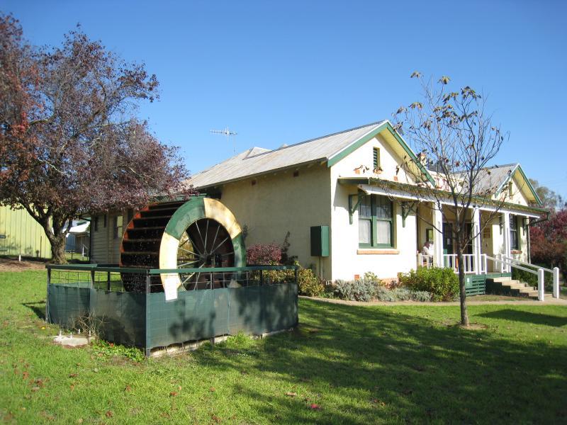 Hansen Street west of Corryong's commercial centre - Water wheel at Man From Snowy River Museum
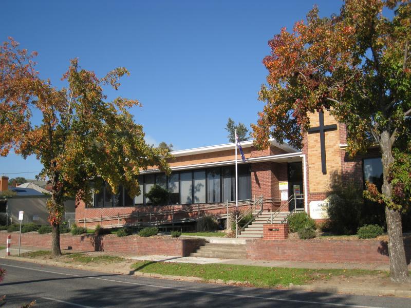 Hansen Street west of Corryong's commercial centre - Sacred Heart School
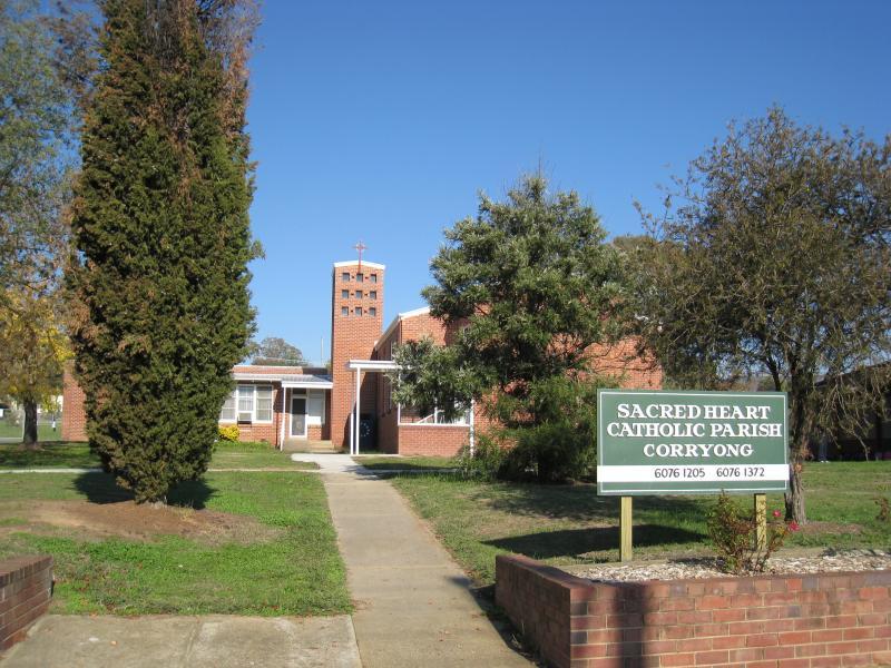 Hansen Street west of Corryong's commercial centre - Sacred Heart church
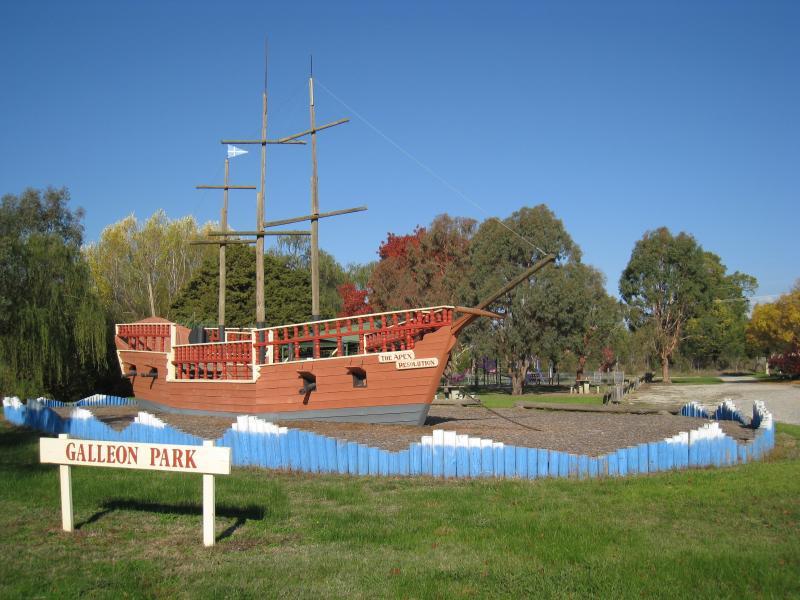 Hansen Street west of Corryong's commercial centre - Galleon Park and replica ship
 Hansen Street west of Corryong's commercial centre - Gardens at Galleon Park
 Hansen Street west of Corryong's commercial centre - View north-east along Hansen St at Sugarloaf Rd
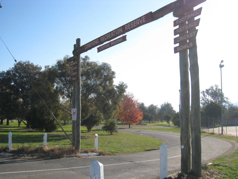 Corryong Recreation Reserve - Entrance, corner Jardine St and Strzelecki Way
 Corryong Recreation Reserve - Tennis courts
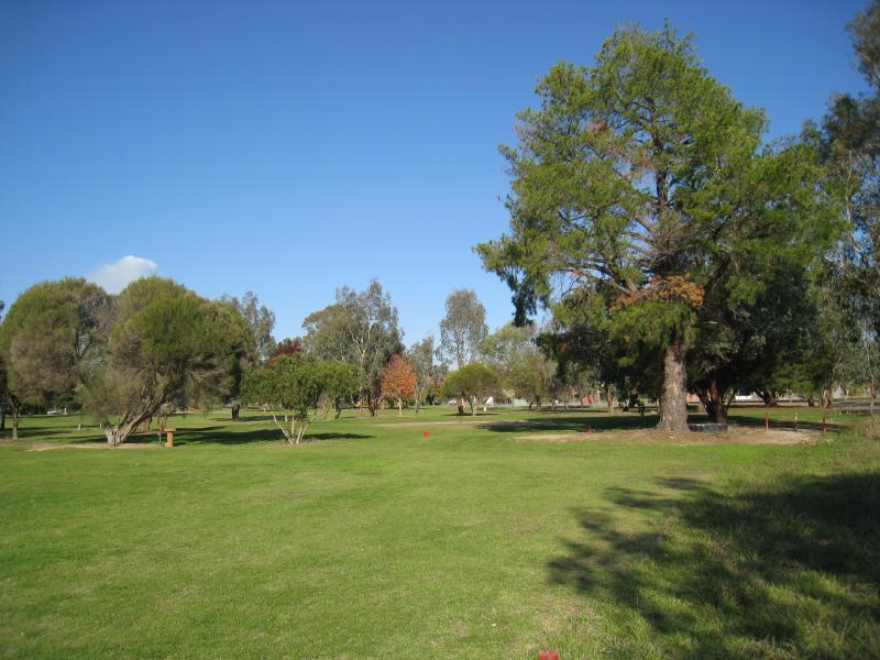 Corryong Recreation Reserve - Golf course
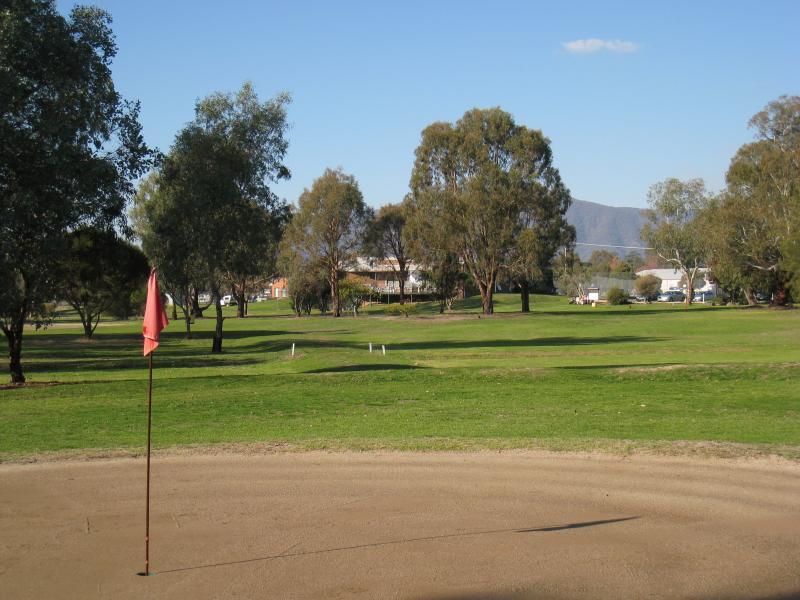 Corryong Recreation Reserve - Golf course putting area
 Corryong Recreation Reserve - Golf course fairway
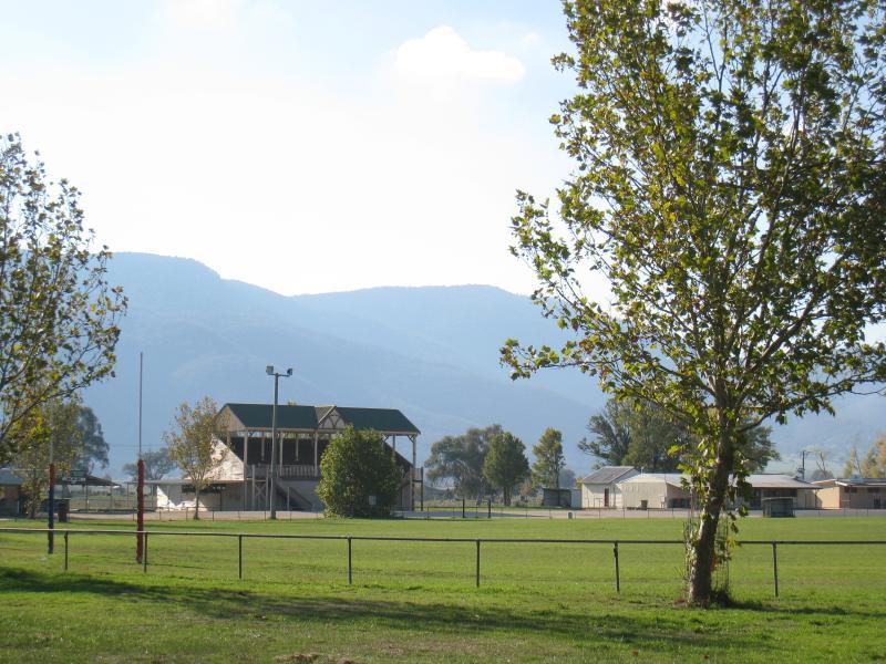
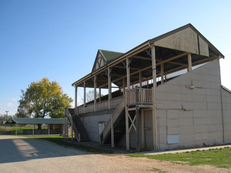 Corryong Recreation Reserve - Grandstand overlooking oval
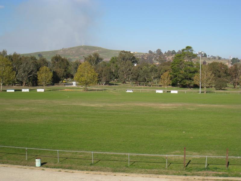 Corryong Recreation Reserve - View south-east across oval from grandstand
 Corryong Recreation Reserve - View east along oval from grandstand
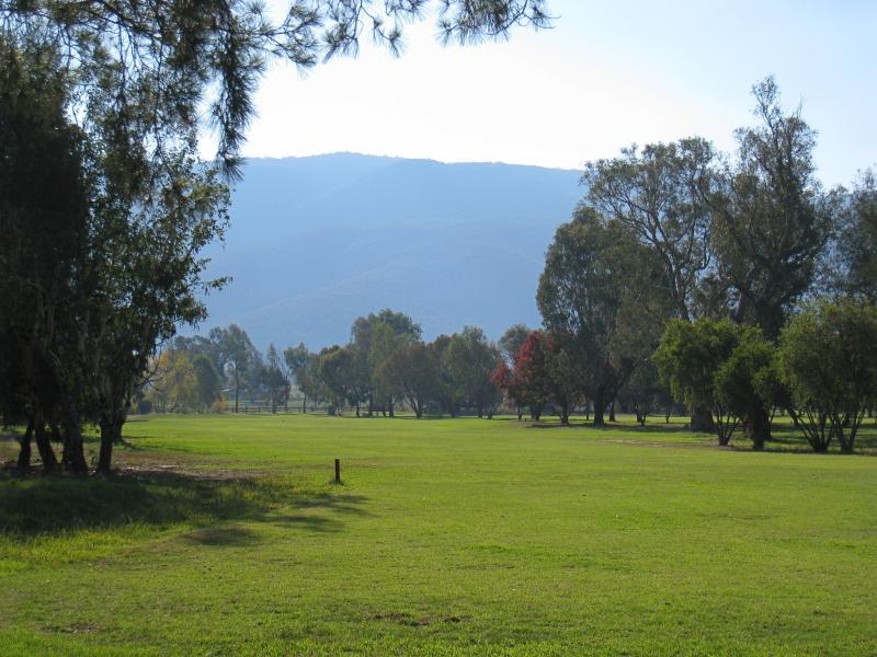
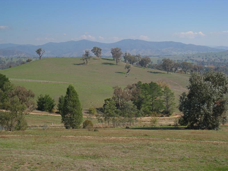
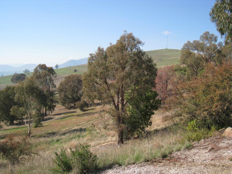
 Corryong Recreation Reserve - View north towards mountains from back of grandstand
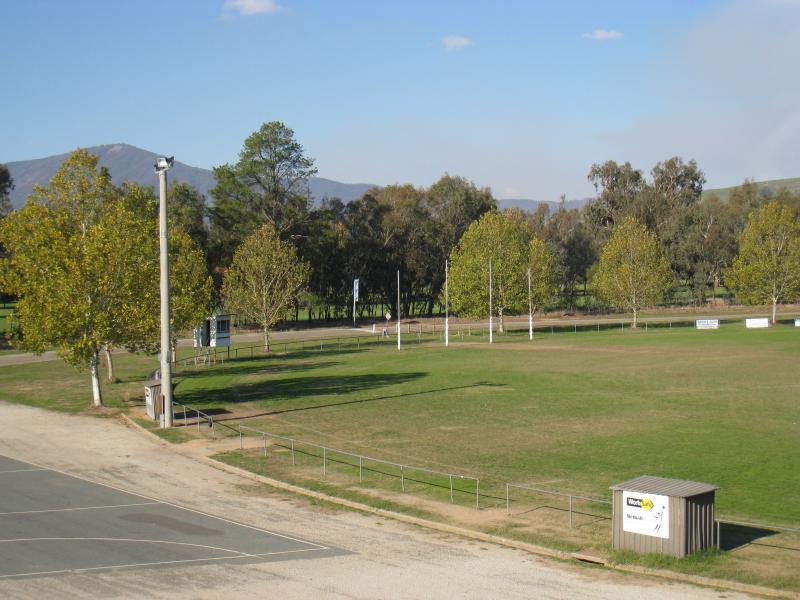
 Corryong Recreation Reserve - View across oval towards grandstand
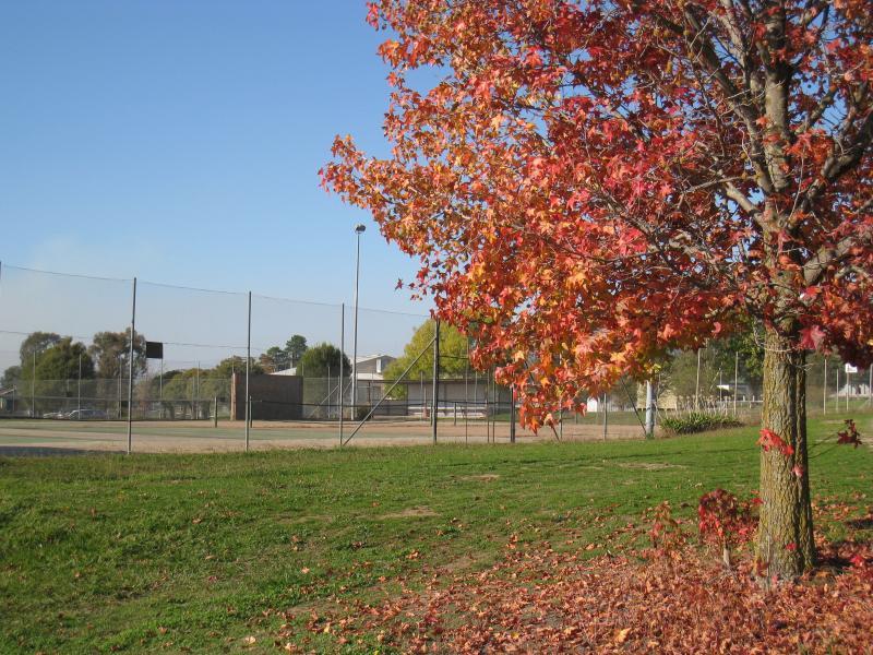
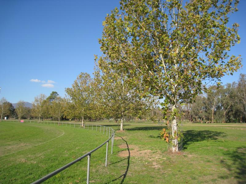 Corryong Recreation Reserve - View along southern side of oval
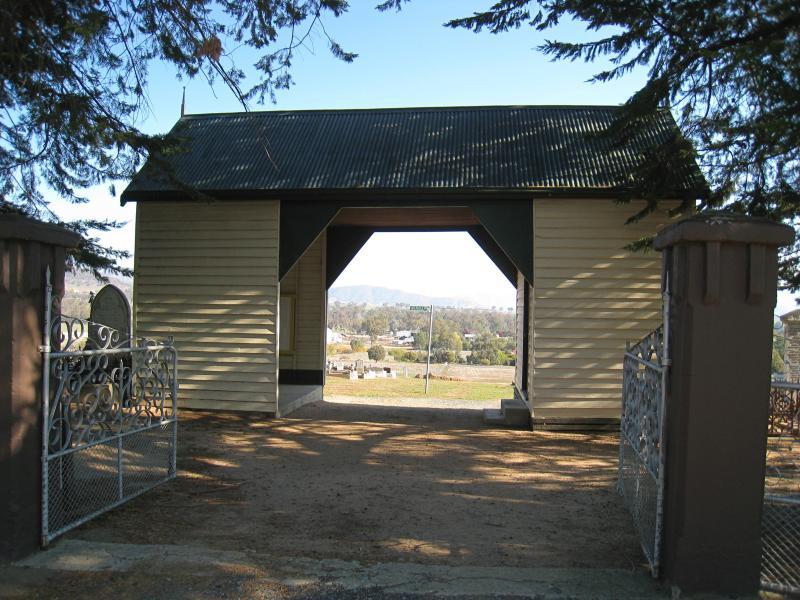 Corryong cemetery and surroundings - Entrance at Parish La
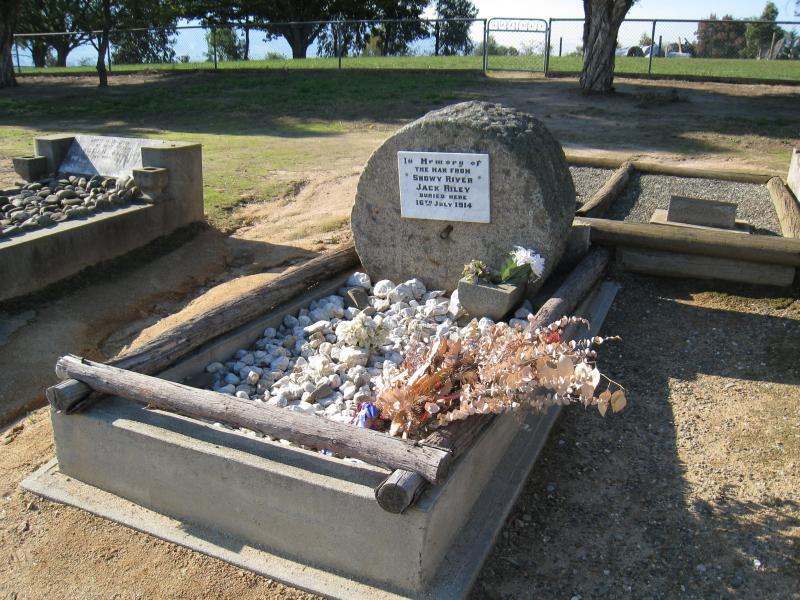 Corryong cemetery and surroundings - Grave of Jack Riley (Man from Snowy River)
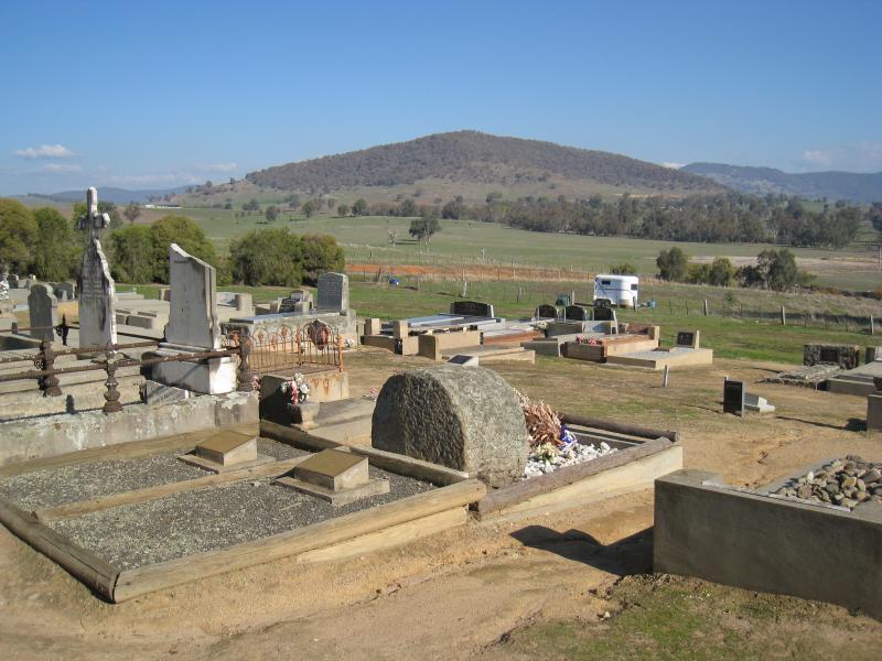 Corryong cemetery and surroundings - Southerly view over back of Jack Riley's grave towards hills
 Corryong cemetery and surroundings - Rose gardens in cemetery viewed from Memorial La
 Corryong cemetery and surroundings - South-west view towards Corryong Building Supplies from cemetery
 Corryong cemetery and surroundings - Easterly view from corner of Parish La and Memorial La
 Corryong cemetery and surroundings - Northerly view from corner of Parish La and Memorial La
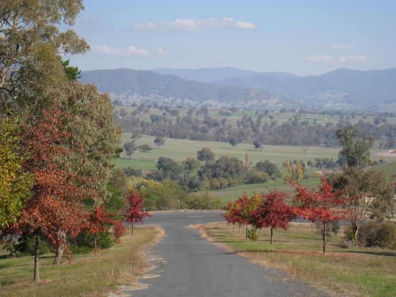 Playles Lookout, Back Thowgla Road - View back along entrance road to lookout
 Playles Lookout, Back Thowgla Road - View south-east along Back Thowgla Rd
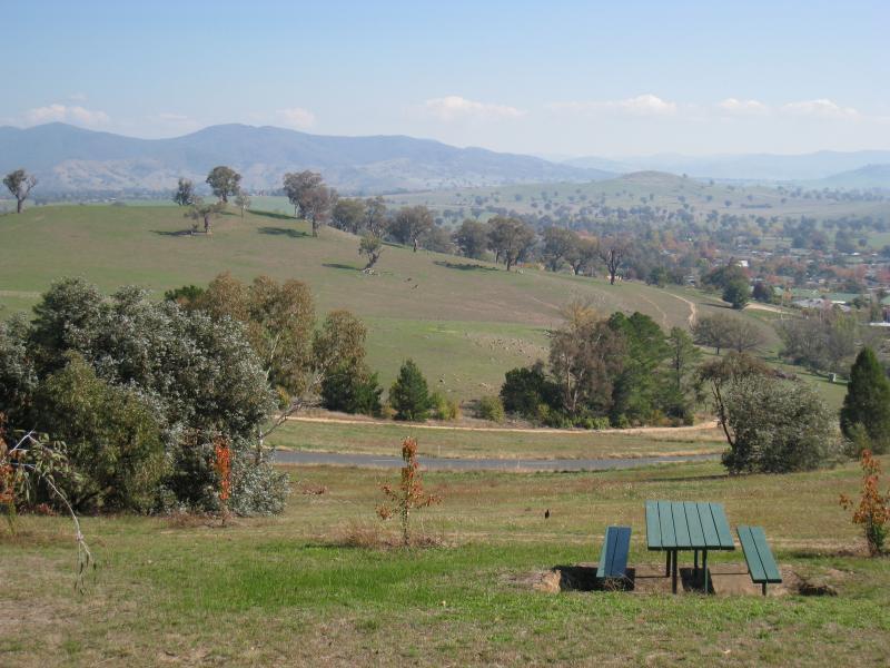
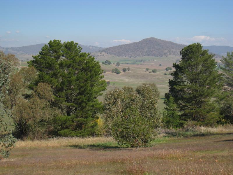 Playles Lookout, Back Thowgla Road - Southerly view
 Playles Lookout, Back Thowgla Road - Southerly view through lawns
 Playles Lookout, Back Thowgla Road - Southerly view along Back Thowgla Rd
 Playles Lookout, Back Thowgla Road - South-westerly view across Back Thowgla Rd
 Playles Lookout, Back Thowgla Road - South-west view
 Playles Lookout, Back Thowgla Road - Westerly view
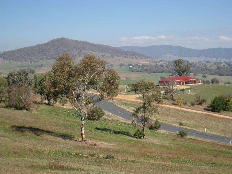
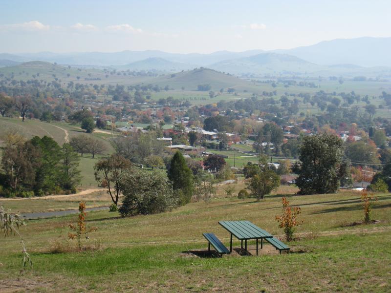 Playles Lookout, Back Thowgla Road - Westerly view towards town
 Playles Lookout, Back Thowgla Road - North-westerly view towards town
 Playles Lookout, Back Thowgla Road - North-easterly view
 Playles Lookout, Back Thowgla Road - Easterly view
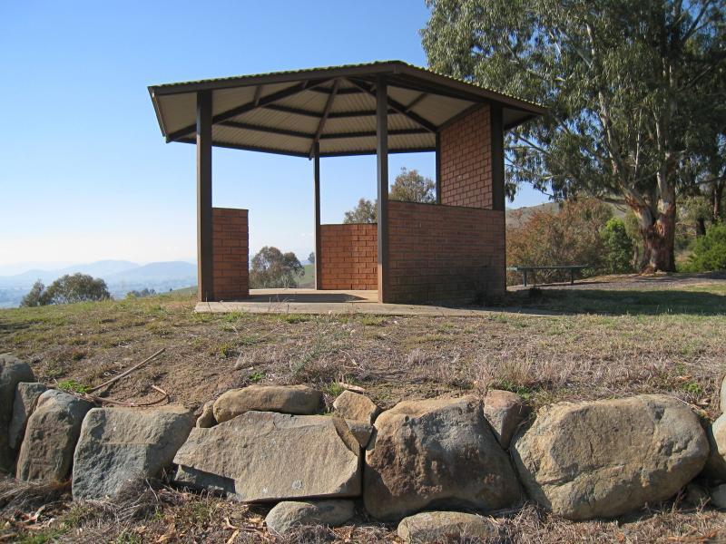 Playles Lookout, Back Thowgla Road - Lookout shelter
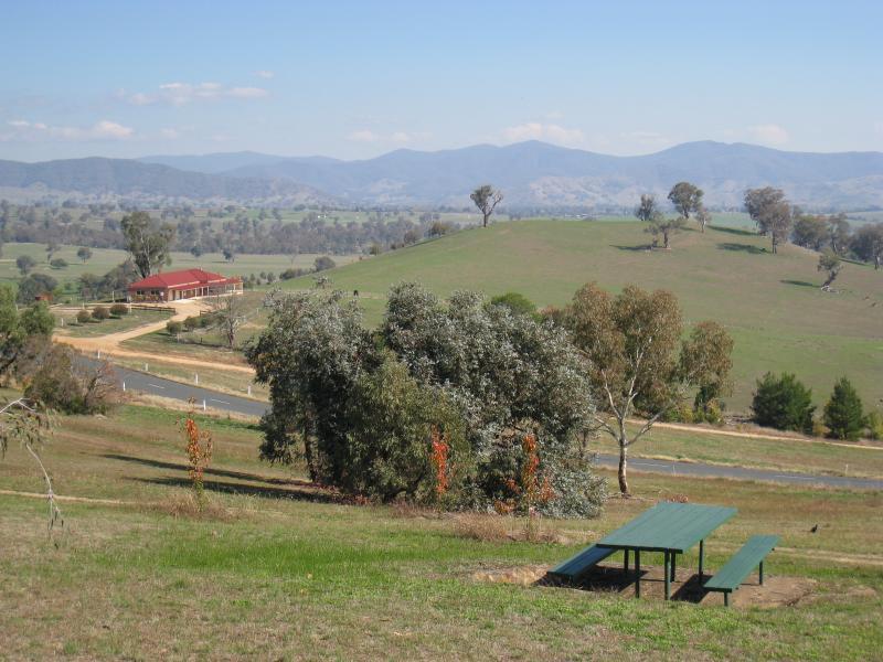
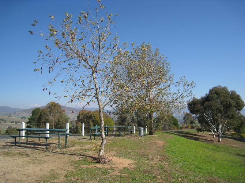
 Playles Lookout, Back Thowgla Road - BBQ area near car park
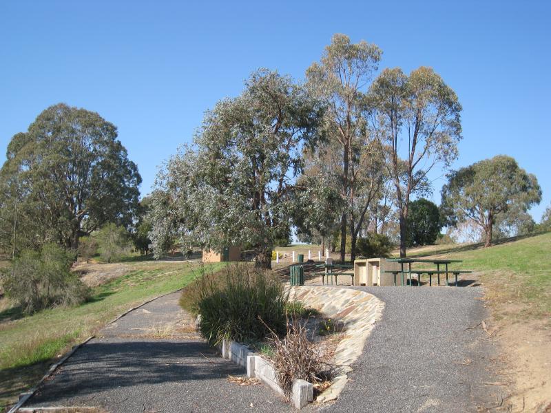
 Playles Lookout, Back Thowgla Road - Picnic tables at end of access road
 Playles Lookout, Back Thowgla Road - Hill at end of access road
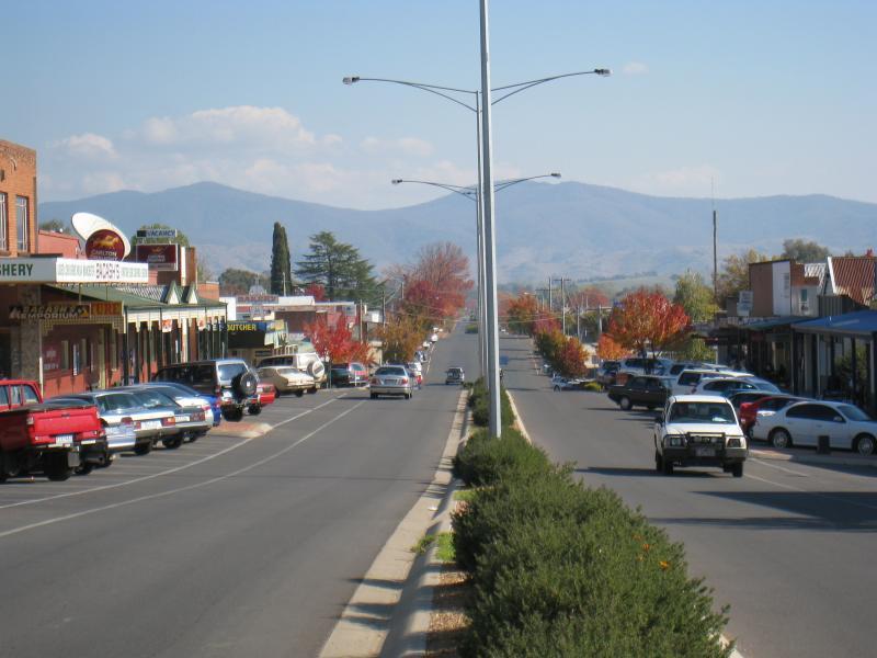
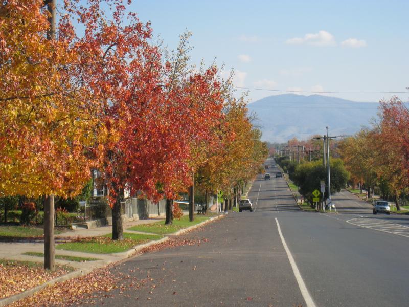
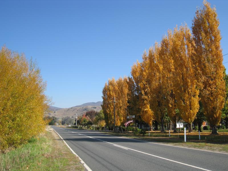
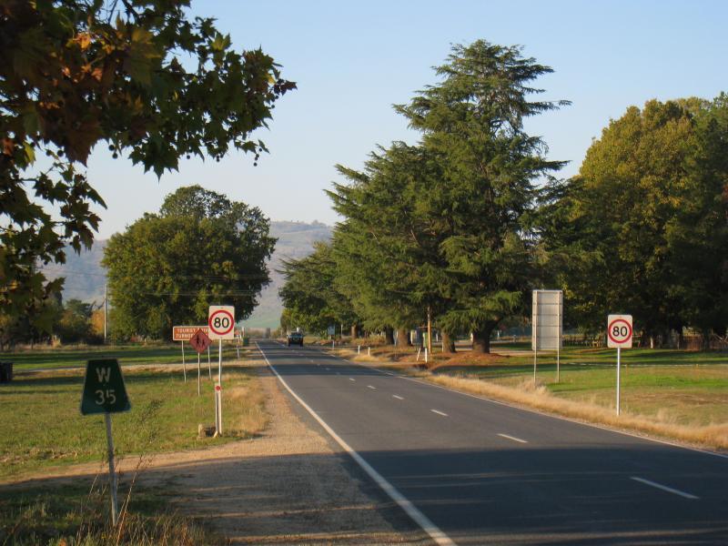
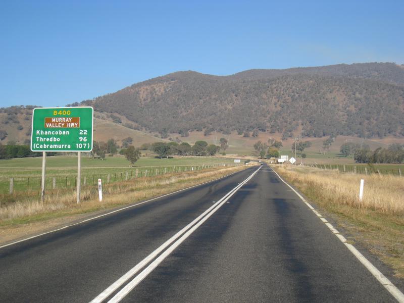
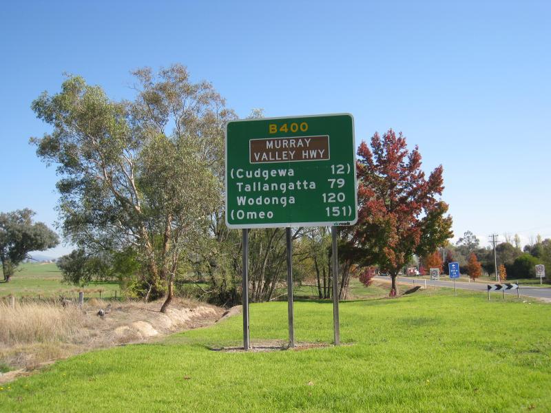 Murray Valley Highway, west of Corryong - View south-west along Murray Valley Hwy, west of Waller St
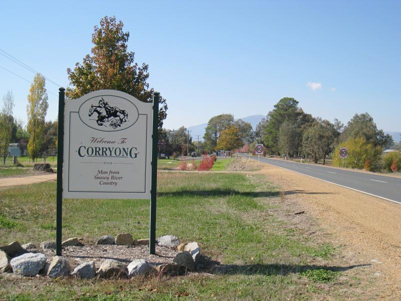 Murray Valley Highway, west of Corryong - Corryong town sign, west of caravan park
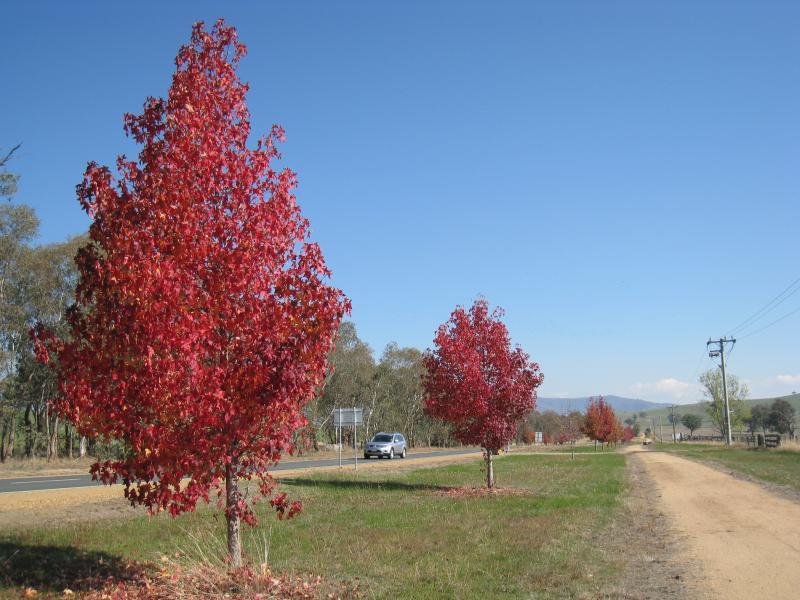 Murray Valley Highway, west of Corryong - View south-west along Murray Valley Hwy, west of of caravan park
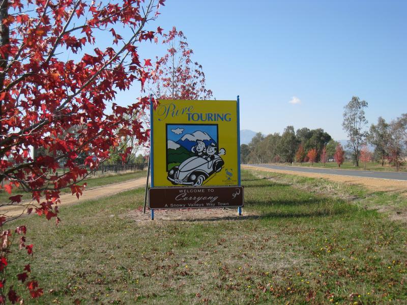 Murray Valley Highway, west of Corryong - 'Pure Touring' sign, 2½ km from town centre
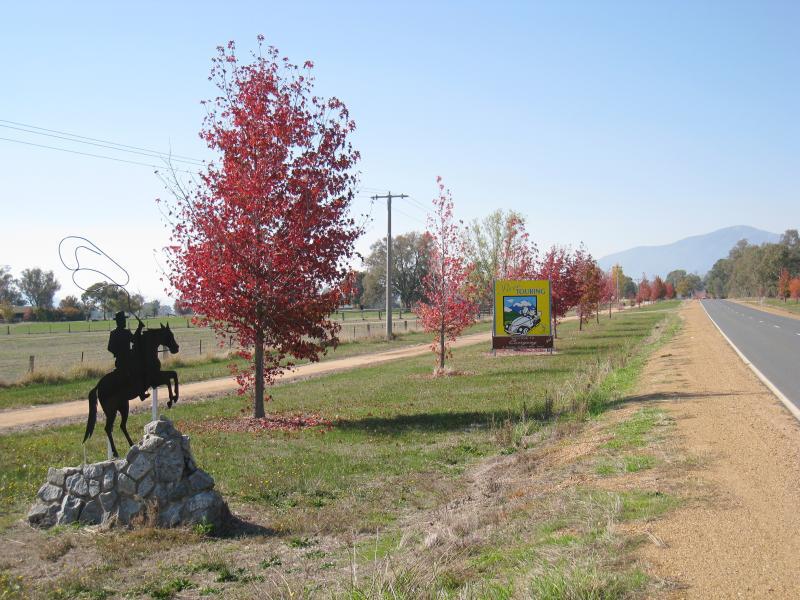 Murray Valley Highway, west of Corryong - Stockman monument, view north-east along Murray Valley Hwy, 2½ km from town centre
 Murray Valley Highway, west of Corryong - Southerly view, 2½ km from town centre
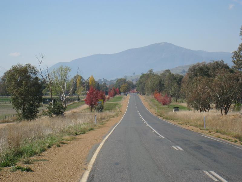 Murray Valley Highway, west of Corryong - View north-east along Murray Valley Hwy, 3 km from town centre
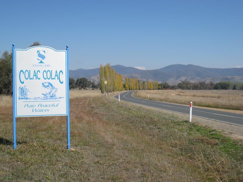 Town of Colac Colac, Murray Valley Highway west of Corryong - Colac Colac town sign, view west along Murray Valley Hwy
 Town of Colac Colac, Murray Valley Highway west of Corryong - View west along Murray Valley Hwy at caravan park
 Town of Colac Colac, Murray Valley Highway west of Corryong - View south along Benambra Rd at Murray Valley Hwy
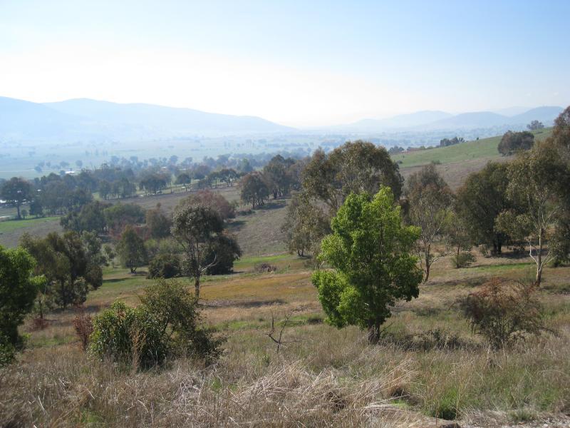
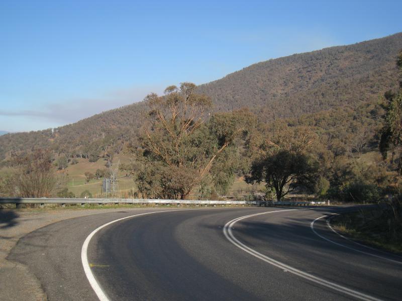
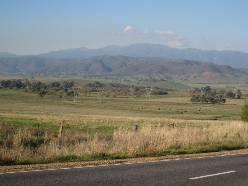
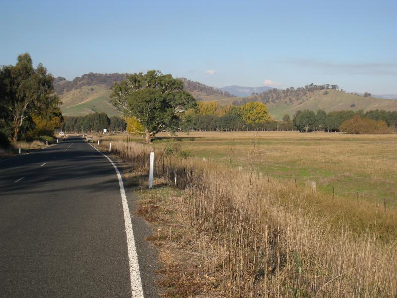
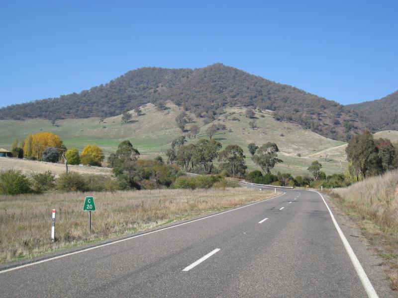 Murray Valley Highway, west of Colac Colac - View east along Murray Valley Hwy, 20 km from Corryong
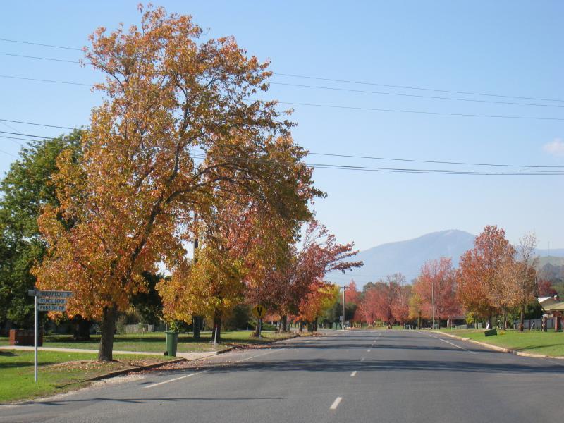
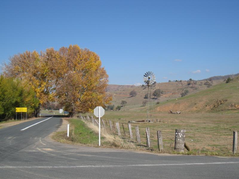
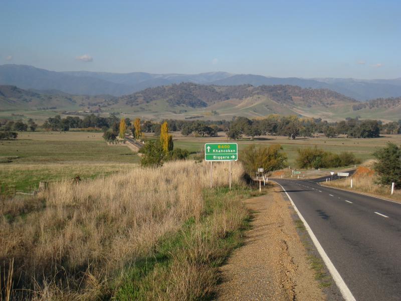
 Towong Road and Murray Valley Highway, east end of Corryong - View south-west along Towong Rd near secondary college
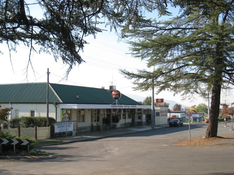 Towong Road and Murray Valley Highway, east end of Corryong - Corryong Hotel Motel
 Towong Road and Murray Valley Highway, east end of Corryong - View north-east along Towong Rd, past secondary college
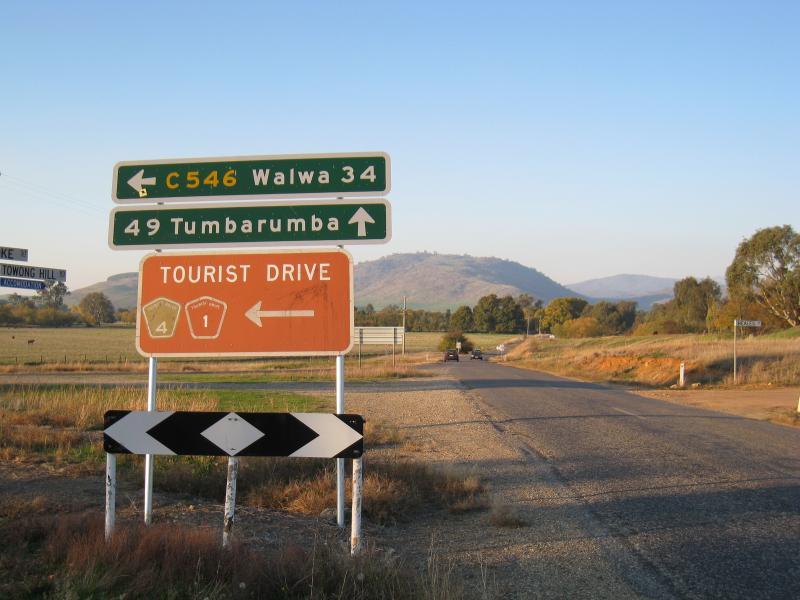
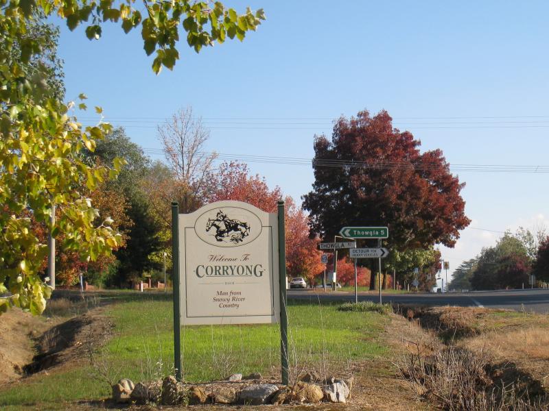 Towong Road and Murray Valley Highway, east end of Corryong - Town sign, Towong Rd at Thowgla Rd
 Towong Road and Murray Valley Highway, east end of Corryong - View north-east along Towong Rd near Thowgla Rd
 Towong Road and Murray Valley Highway, east end of Corryong - Northerly view near Thowgla Rd
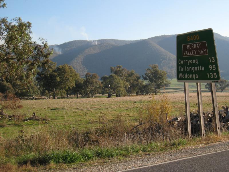
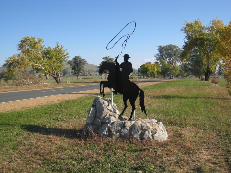 Towong Road and Murray Valley Highway, east end of Corryong - Stockman monument, view south-west along Murray Valley Hwy, east of town
 Towong Road and Murray Valley Highway, east end of Corryong - Stockman monument, view north-east along Murray Valley Hwy, east of town
 Towong Road and Murray Valley Highway, east end of Corryong - Easterly view at stockman monument, east end of town
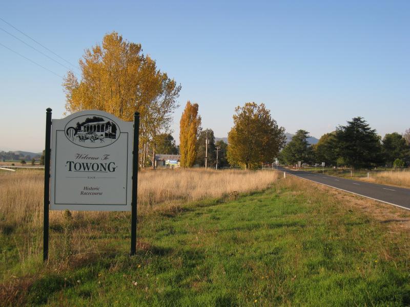 Town of Towong, north-east of Corryong - Towong town sign, view north-east along Murray River Rd
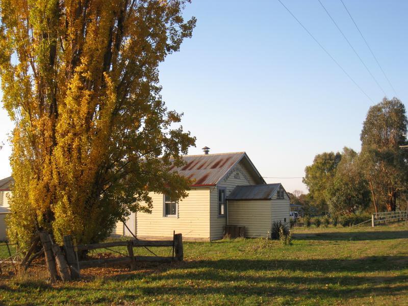 Town of Towong, north-east of Corryong - Soldiers Memorial Hall, corner Murray River Rd and Racecourse La
 Town of Towong, north-east of Corryong - View north-east along Murray River Rd towards Hume St
 Town of Towong, north-east of Corryong - View north-east along Towong Hill Rd at Murray River Rd
 Towong Racecourse - Racecourse viewed from Murray River Rd
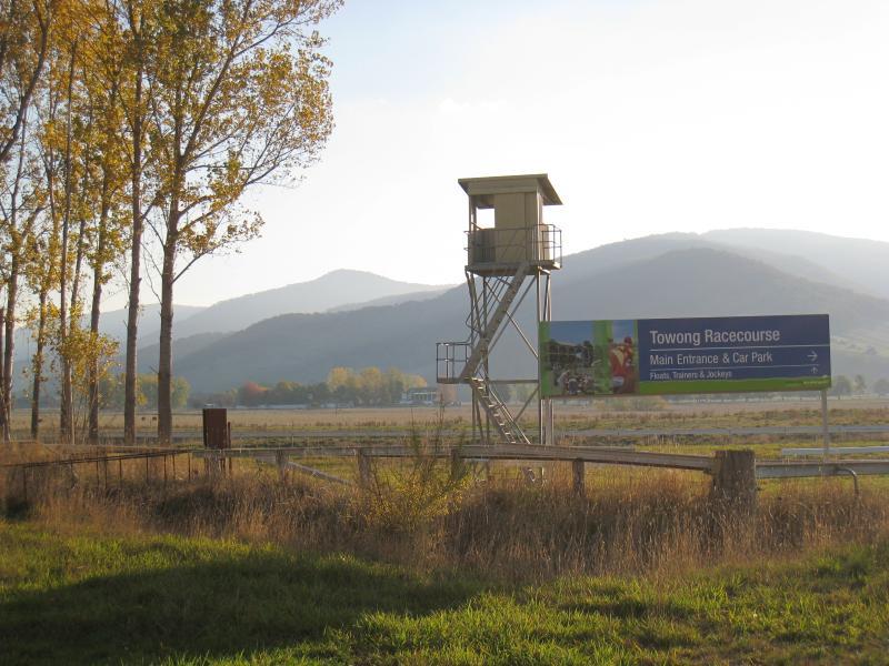
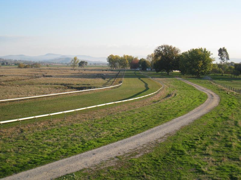
 Towong Racecourse - Lookout tower, north side of racecourse
 Towong Racecourse - Easterly view from lookout tower
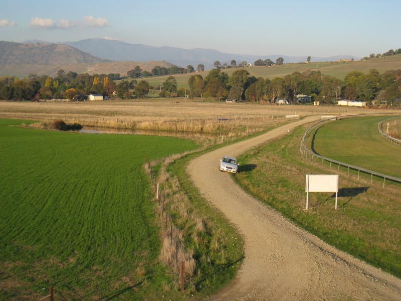 Towong Racecourse - South-easterly view along Racecourse La from lookout tower
 Towong Racecourse - South-easterly view along track from lookout tower
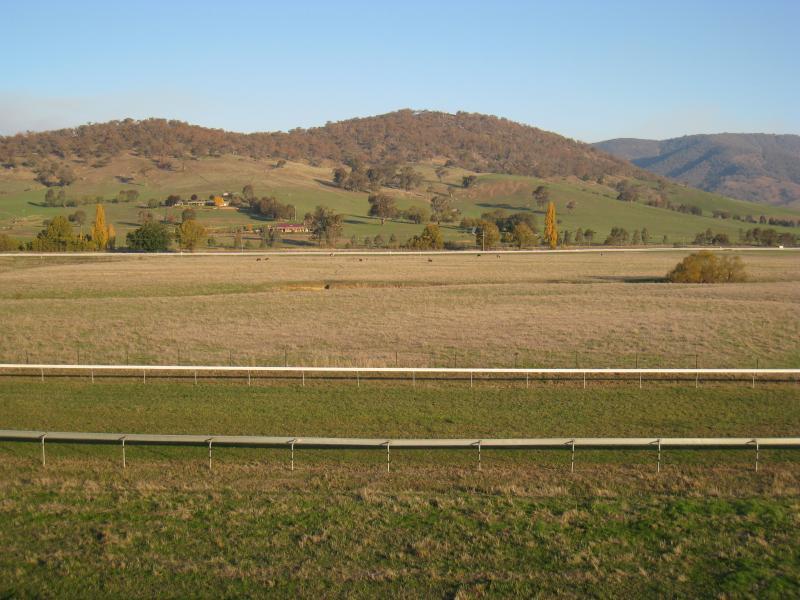 Towong Racecourse - Southerly view over track from lookout tower
 Towong Racecourse - Westerly view along track from lookout tower
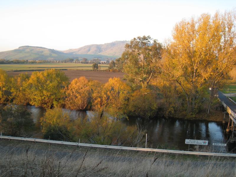 Murray River at Towong (state border with N.S.W.) - View from Sullivan St, north-east towards Murray River and bridge
 Murray River at Towong (state border with N.S.W.) - View from Sullivan St, east towards Murray River and bridge
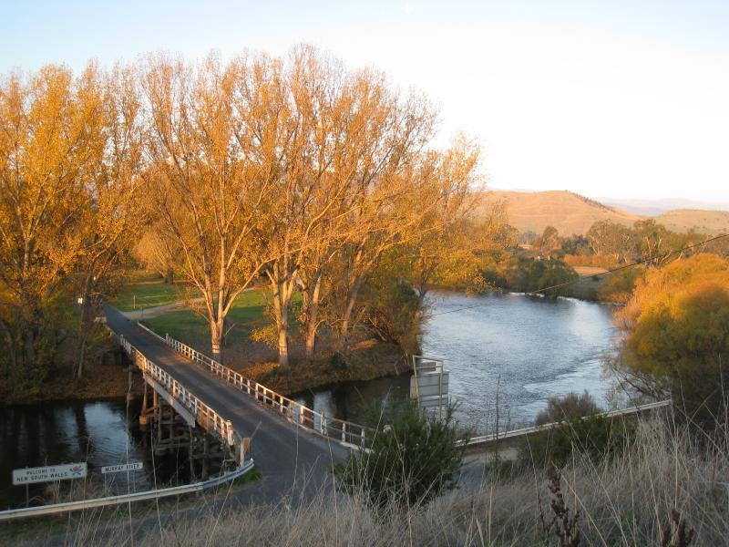
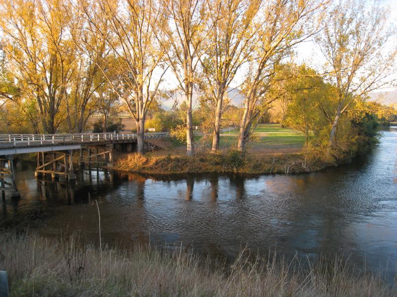
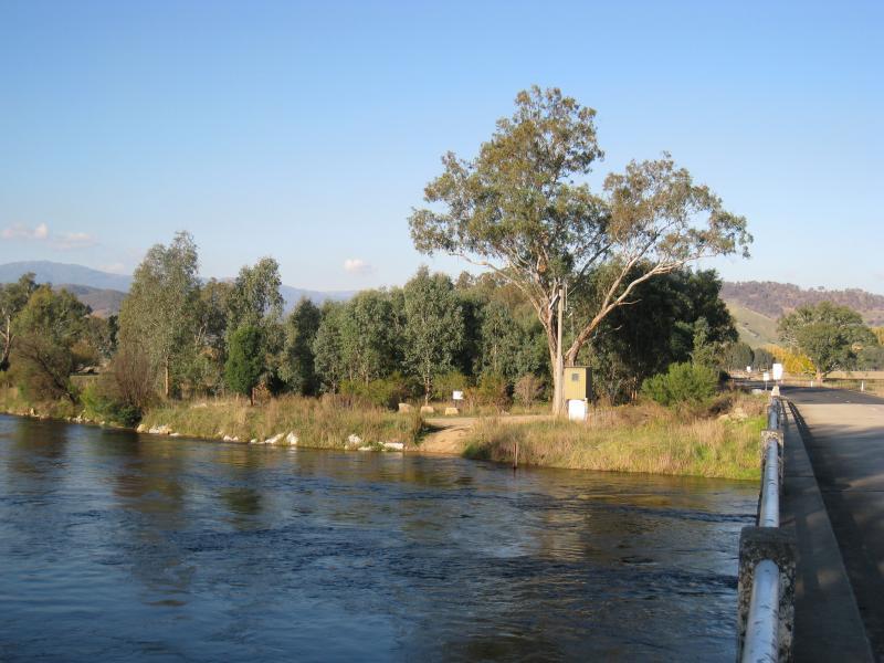
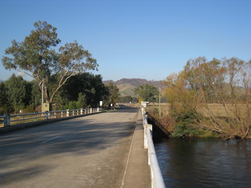
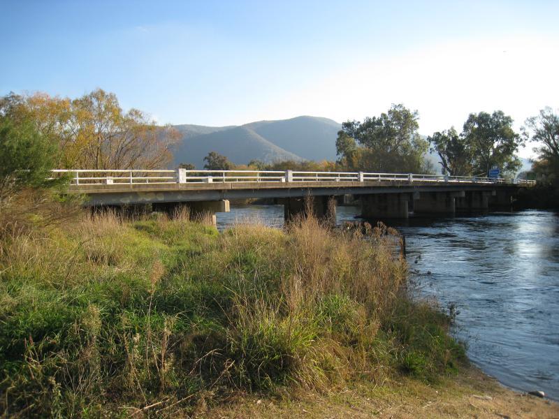
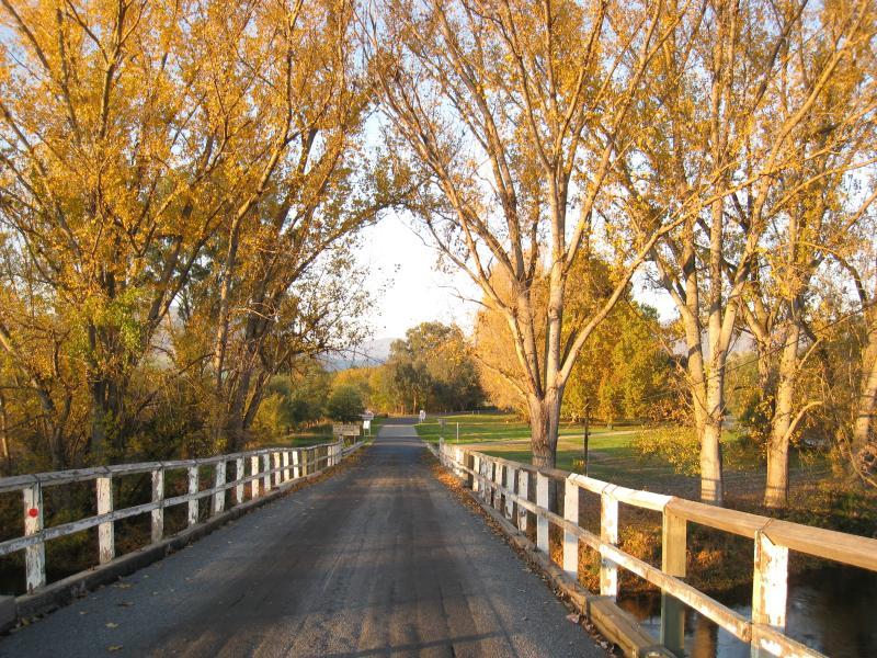 Murray River at Towong (state border with N.S.W.) - View north-east along bridge over Murray River
 Murray River at Towong (state border with N.S.W.) - View across Murray River from Towong Hill Rd east of bridge
 Murray Valley Highway, between Murray River Road and Murray River - View south-east along Murray Valley Hwy just east of Murray River Rd
 Murray Valley Highway, between Murray River Road and Murray River - Easterly view from Murray Valley Hwy just east of Murray River Rd
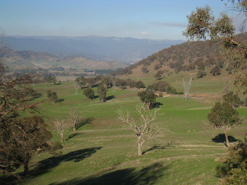
 Murray Valley Highway, between Murray River Road and Murray River - At Towong Gap lookout
 Murray Valley Highway, between Murray River Road and Murray River - Easterly view from Towong Gap lookout
 Murray Valley Highway, between Murray River Road and Murray River - South-easterly view from Towong Gap lookout
 Murray Valley Highway, between Murray River Road and Murray River - View east along Murray Valley Hwy towards Upper Murray Rd
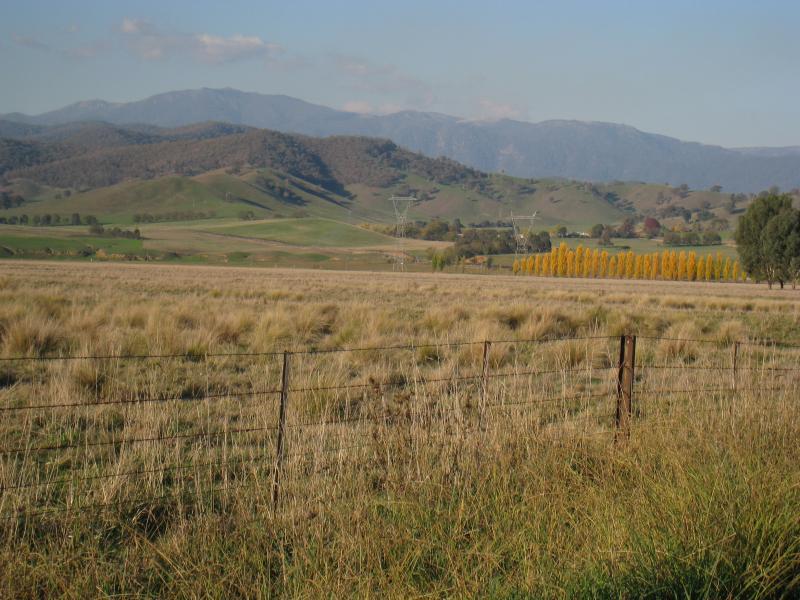
 Murray Valley Highway, between Murray River Road and Murray River - North-east view from Murray Valley Hwy near Upper Murray Rd
 Murray Valley Highway at Murray River (state border with N.S.W.) - Southerly view on west side of river
 Murray Valley Highway at Murray River (state border with N.S.W.) - New South Wales state border sign, east along bridge
 Murray Valley Highway at Murray River (state border with N.S.W.) - View east along river from bridge
 Murray Valley Highway at Murray River (state border with N.S.W.) - View east along bridge
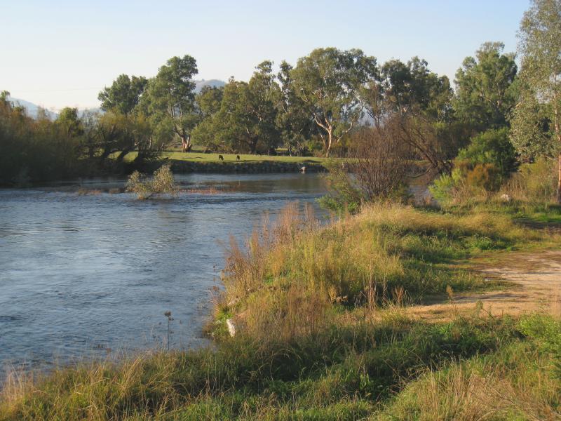
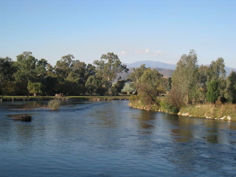 Murray Valley Highway at Murray River (state border with N.S.W.) - View north-east along Murray River from bridge
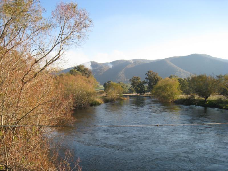 Murray Valley Highway at Murray River (state border with N.S.W.) - View south along Murray River from bridge
 Murray Valley Highway at Murray River (state border with N.S.W.) - View south along Murray River towards bridge
 Murray Valley Highway at Murray River (state border with N.S.W.) - View north-east along Murray River near bridge
 Murray Valley Highway at Murray River (state border with N.S.W.) - View east along Alpine Way, on east side of Murray River
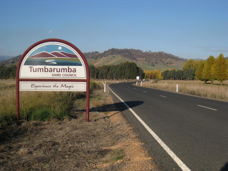 Murray Valley Highway at Murray River (state border with N.S.W.) - Tumbarumba Shire Council sign, Alpine Way east of Murray River
 Murray Valley Highway at Murray River (state border with N.S.W.) - North-east view from Alpine Way east of Murray River