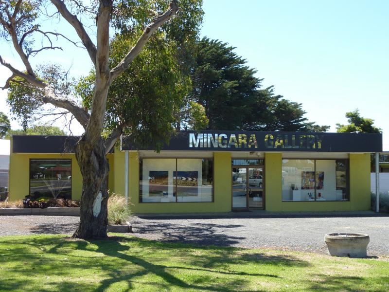
Thompson Avenue south of Church Street - Mingara Gallery, corner Thompson Av and Ventnor Rd
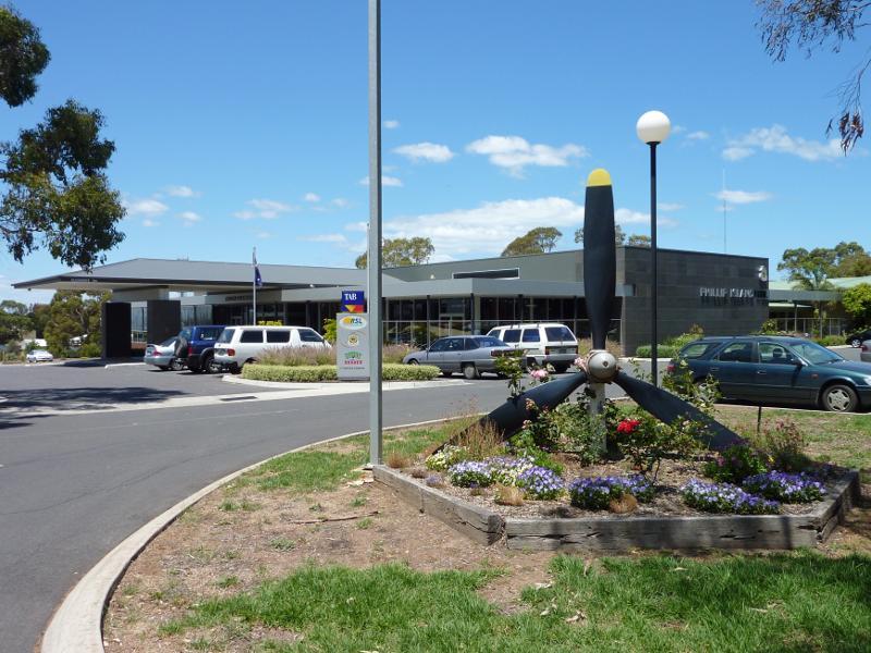
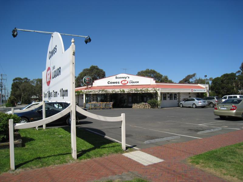
Thompson Avenue south of Church Street - Phillip Island RSL, corner Thompson Av and Rhyll Rd
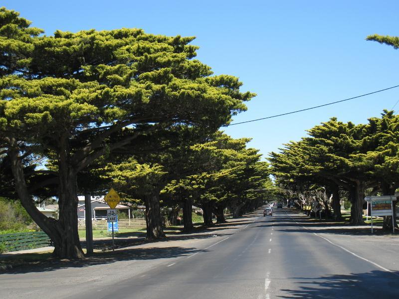
Thompson Avenue south of Church Street - View south along Thompson Av at Settlement Rd
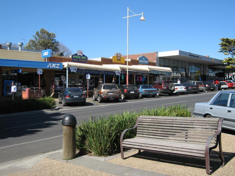
Thompson Avenue south of Church Street - Supermarket, corner Thompson Av and Settlement Rd
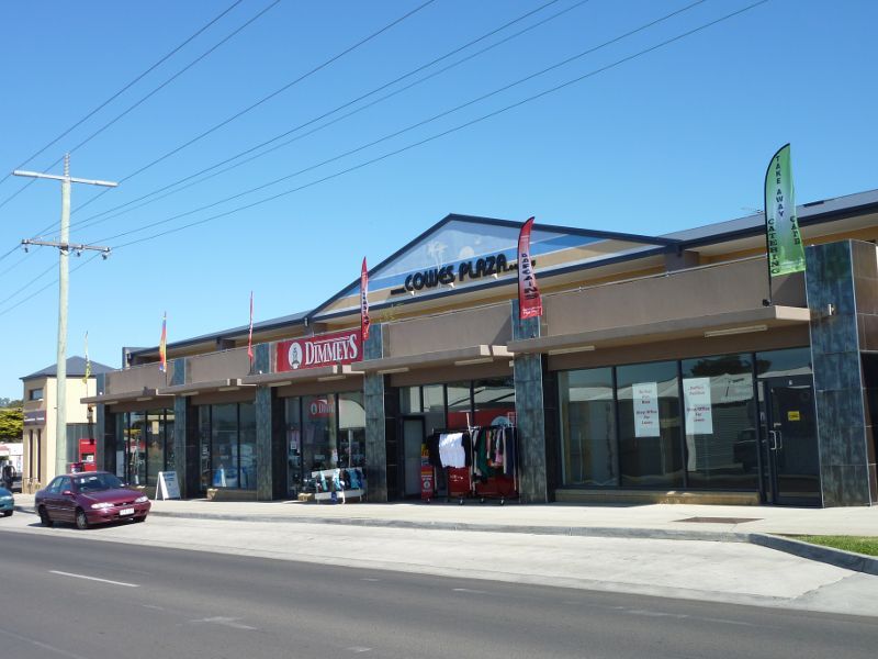
Thompson Avenue south of Church Street - Cowes Plaza, Settlement Rd west of Thompson Av
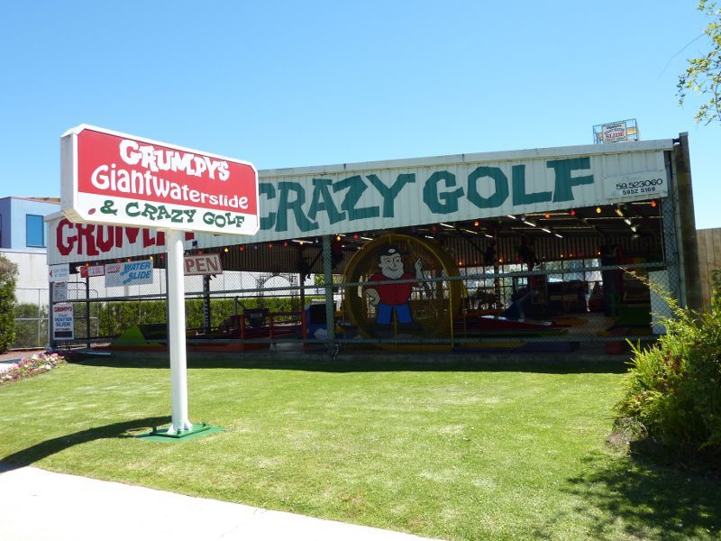
Thompson Avenue south of Church Street - Grumpys Giant Waterslide & Crazy Golf, Thompson Av north of Settlement Rd
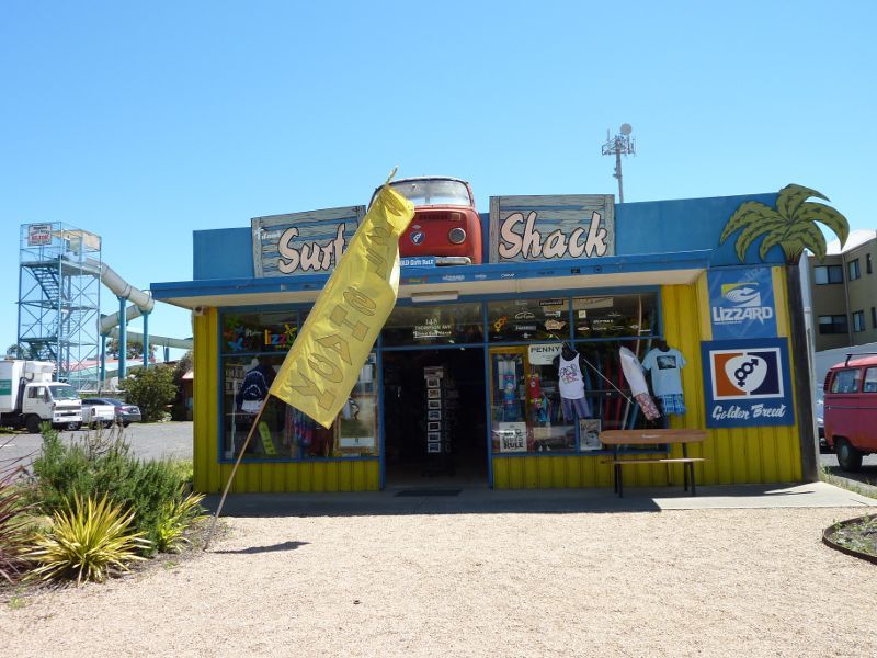
Thompson Avenue south of Church Street - Surf Shack, Thompson Av north of Settlement Rd
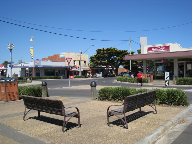
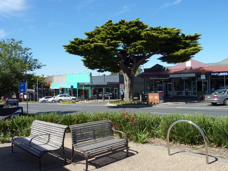
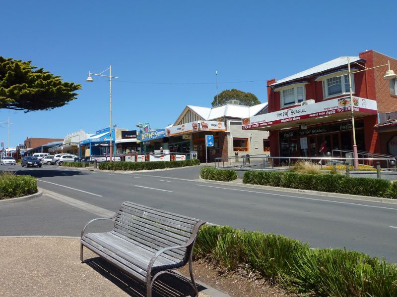
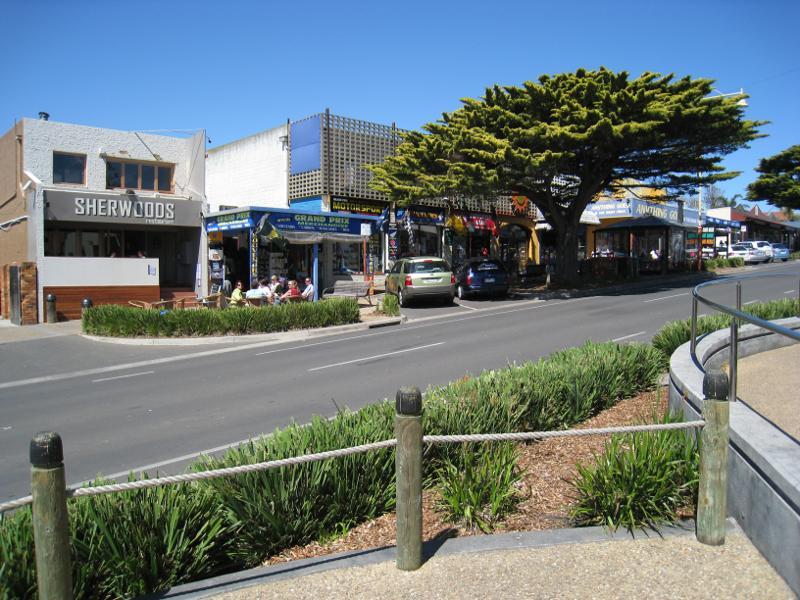
Thompson Avenue south of Church Street - Thompson Av between Settlement Rd and Church St
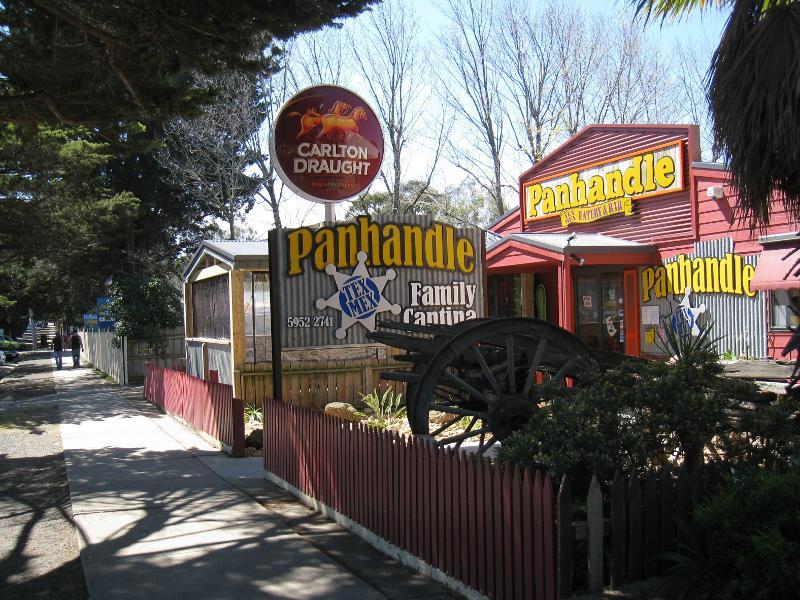
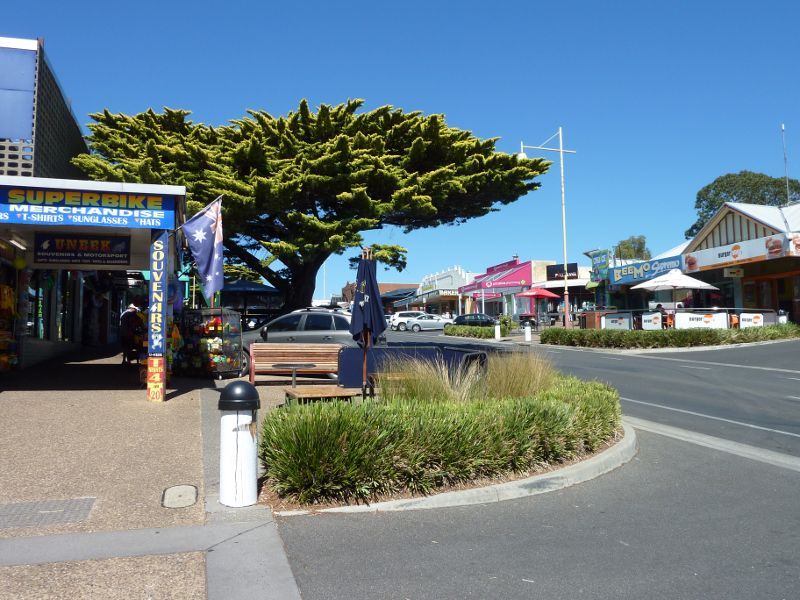
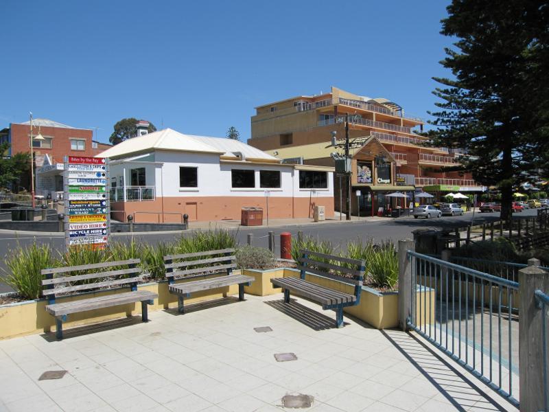
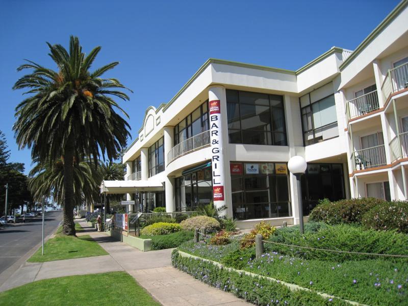
Thompson Avenue south of Church Street - Panhandle, Thompson Av between Settlement Rd and Church St
Thompson Avenue south of Church Street - Woolworths Supermarket, Thompson Av between Settlement Rd and Church St
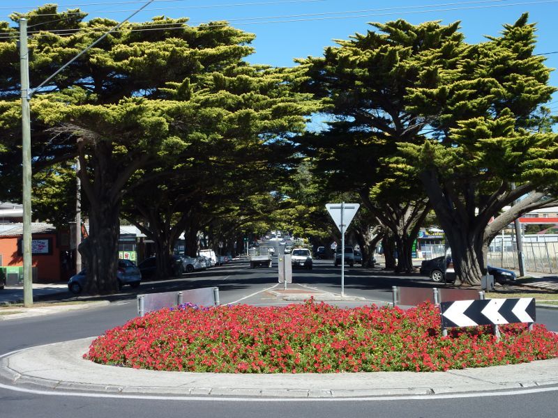
Shops and commercial centre, Thompson Avenue north of Church Street - View south along Thompson Av at Church St
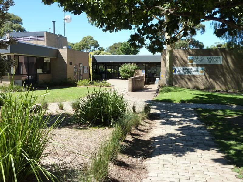
Shops and commercial centre, Thompson Avenue north of Church Street - Visitor information centre at Cowes Cultural Precinct, corner Thompson Av and Church St
Shops and commercial centre, Thompson Avenue north of Church Street - Phillip Island Gallery at Cowes Cultural Precinct
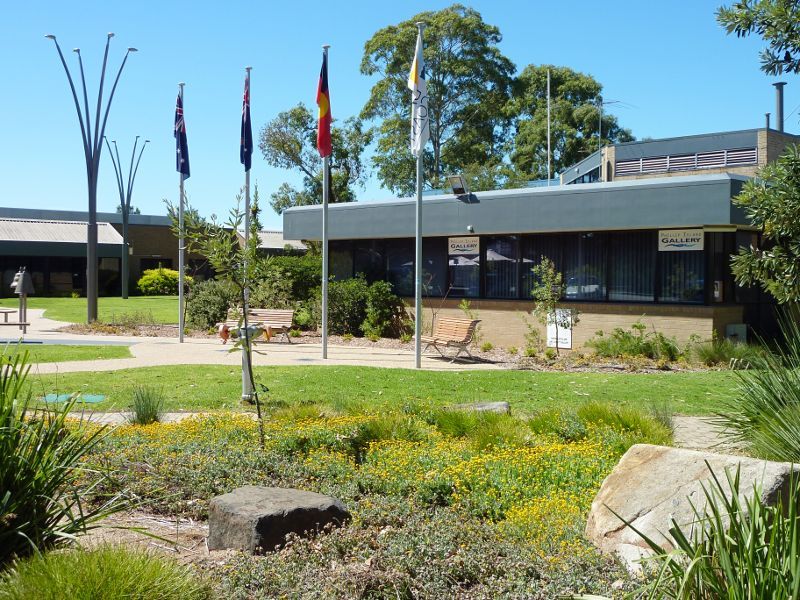
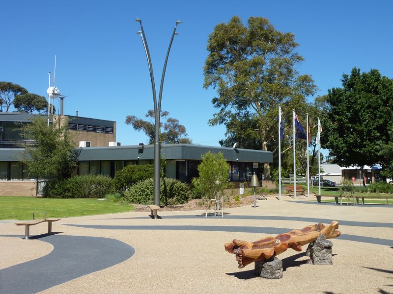
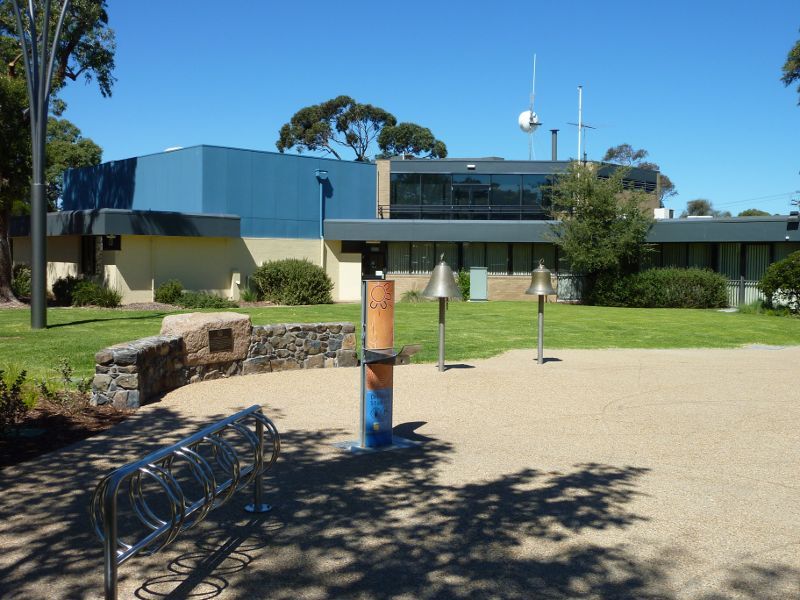
Shops and commercial centre, Thompson Avenue north of Church Street - Cowes Town Square at Cowes Cultural Precinct
Shops and commercial centre, Thompson Avenue north of Church Street - Fountain Gardens, Cowes Town Square at Cowes Cultural Precinct
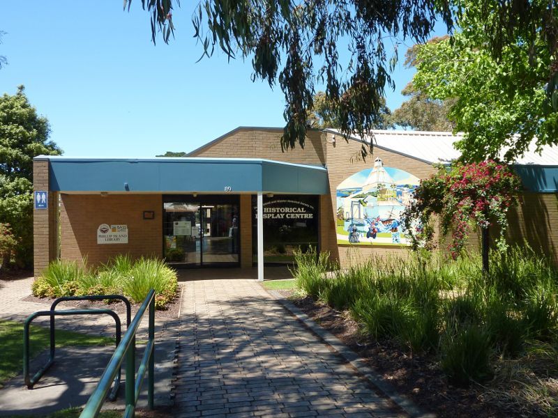
Shops and commercial centre, Thompson Avenue north of Church Street - Phillip Island Library at Cowes Cultural Precinct
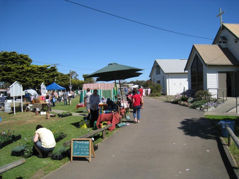
Shops and commercial centre, Thompson Avenue north of Church Street - Parish Hall, corner Thompson Av and Church St
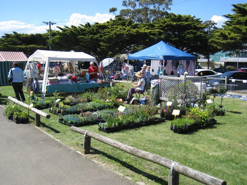
Shops and commercial centre, Thompson Avenue north of Church Street - Island Craft Market at Parish Hall and St Philips Church
Shops and commercial centre, Thompson Avenue north of Church Street - Island Craft Market at Parish Hall and St Philips Church
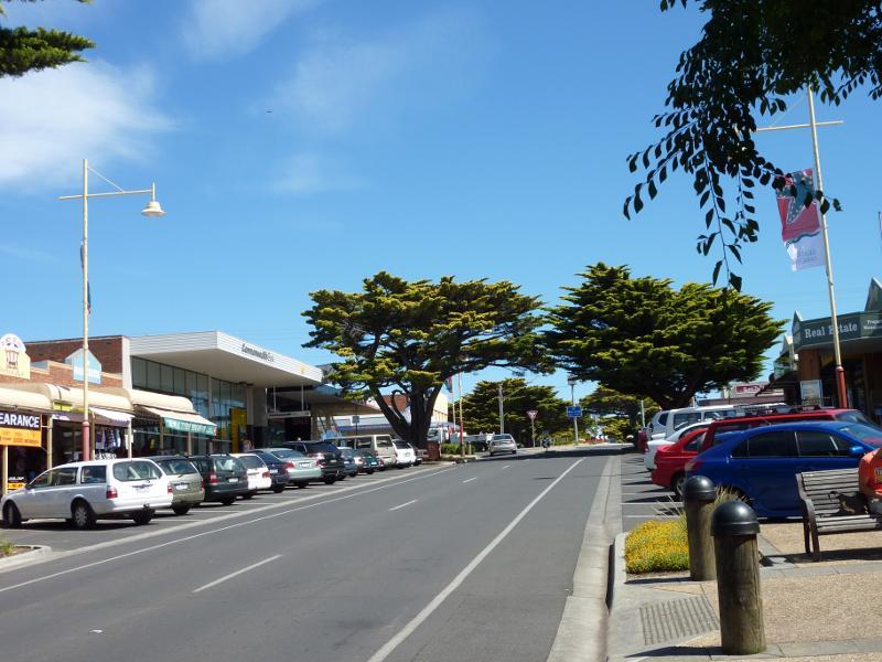
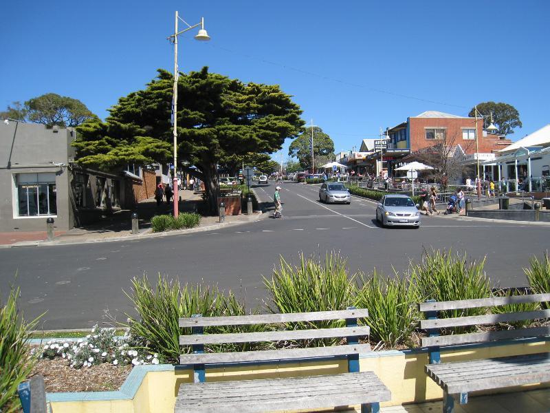
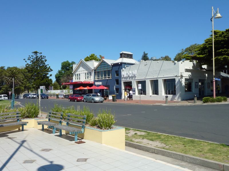
Shops and commercial centre, Thompson Avenue north of Church Street - View south along Thompson Av at Chapel St
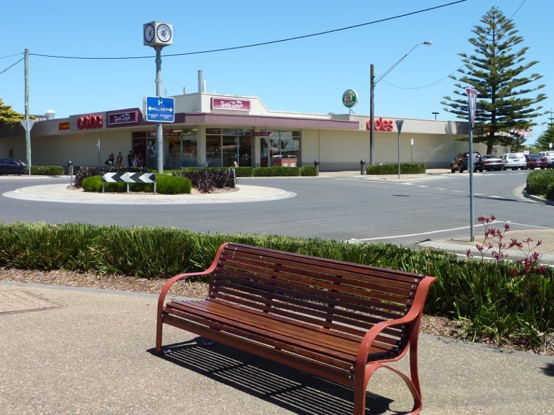
Shops and commercial centre, Thompson Avenue north of Church Street - Coles supermarket, corner Thompson Av and Chapel St
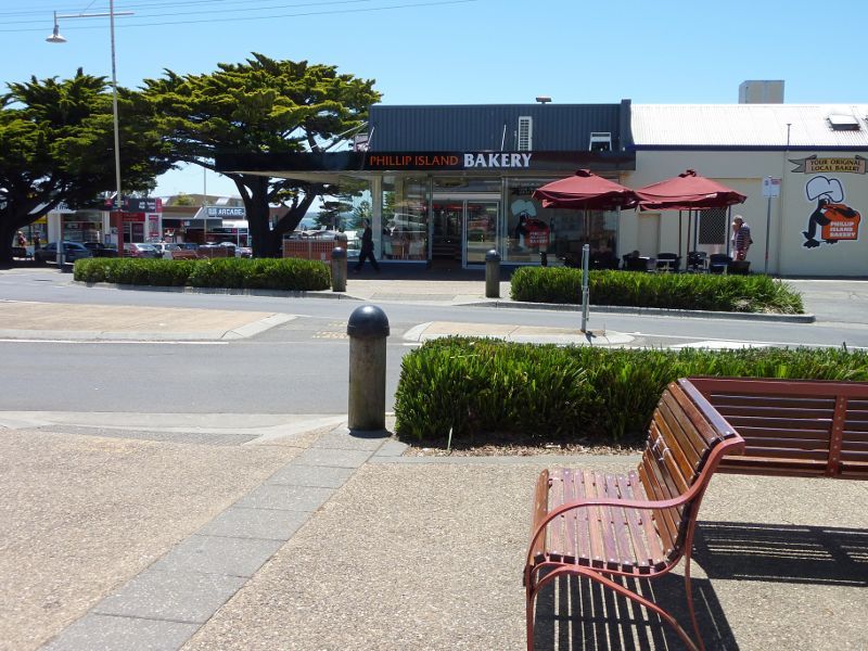
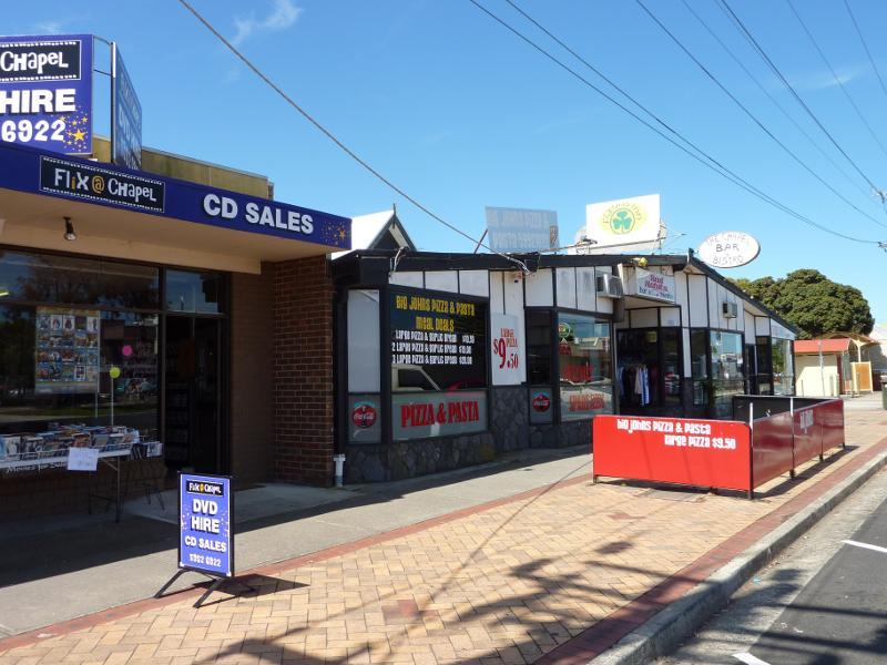
Shops and commercial centre, Thompson Avenue north of Church Street - Bakery, corner Thompson Av and Chapel St
Shops and commercial centre, Thompson Avenue north of Church Street - View east along Chapel St towards Thompson Av
Shops and commercial centre, Thompson Avenue north of Church Street - Shops along Chapel St west of Thompson Av
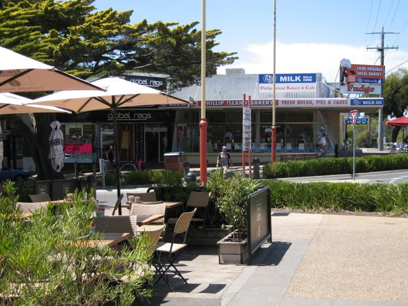
Shops and commercial centre, Thompson Avenue north of Church Street - View east across Thompson Av at Chapel St towards bakery
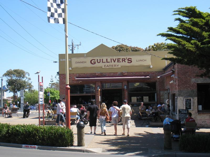
Shops and commercial centre, Thompson Avenue north of Church Street - View west across Thompson Av at Chapel St towards Gulliver's
Shops and commercial centre, Thompson Avenue north of Church Street - East side of Thompson Av north of Chapel St
Shops and commercial centre, Thompson Avenue north of Church Street - View south along Thompson Av towards Chapel St
Shops and commercial centre, Thompson Avenue north of Church Street - View south along Thompson Av between The Esplanade and Chapel St
Shops and commercial centre, Thompson Avenue north of Church Street - Pino's Restaurant, east side of Thompson Av
Shops and commercial centre, Thompson Avenue north of Church Street - View south along Thompson Av between The Esplanade and Chapel St
Shops and commercial centre, Thompson Avenue north of Church Street - View east across Thompson Av between The Esplanade and Chapel St
Shops and commercial centre, Thompson Avenue north of Church Street - View north along Thompson Av towards The Esplanade
Shops and commercial centre, Thompson Avenue north of Church Street - View south along Thompson Av between The Esplanade and Chapel St
Shops and commercial centre, Thompson Avenue north of Church Street - View west across Thompson Av, south of The Esplanade
Shops and commercial centre, Thompson Avenue north of Church Street - View west across Thompson Av near The Esplanade
Shops and commercial centre, Thompson Avenue north of Church Street - View east across Thompson Av near The Esplanade
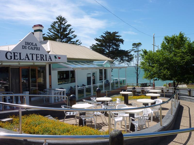
Shops and commercial centre, Thompson Avenue north of Church Street - Isola Di Capri Gelateria & Restaurant, corner Thompson Av and The Esplanade
Shops and commercial centre, Thompson Avenue north of Church Street - View north along Thompson Av towards The Esplanade
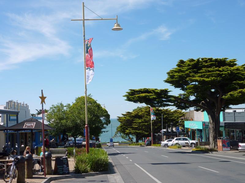
Shops and commercial centre, Thompson Avenue north of Church Street - View south along Thompson Av from The Esplanade
Shops and commercial centre, Thompson Avenue north of Church Street - View south along Thompson Av from The Esplanade
The Esplanade - View east along The Esplanade towards Warley Av
The Esplanade - View west along The Esplanade between Thompson Av and Warley Av
The Esplanade - View west along The Esplanade at Thompson Av
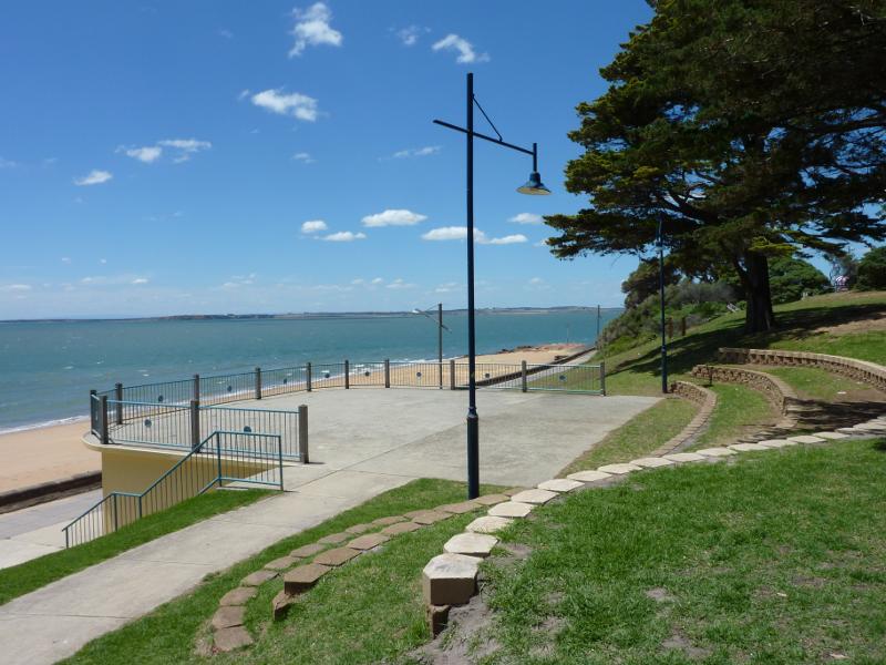
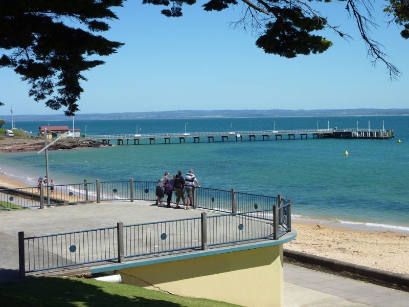
The Esplanade - Viewing deck above toilets overlooking the beach opposite Thompson Av
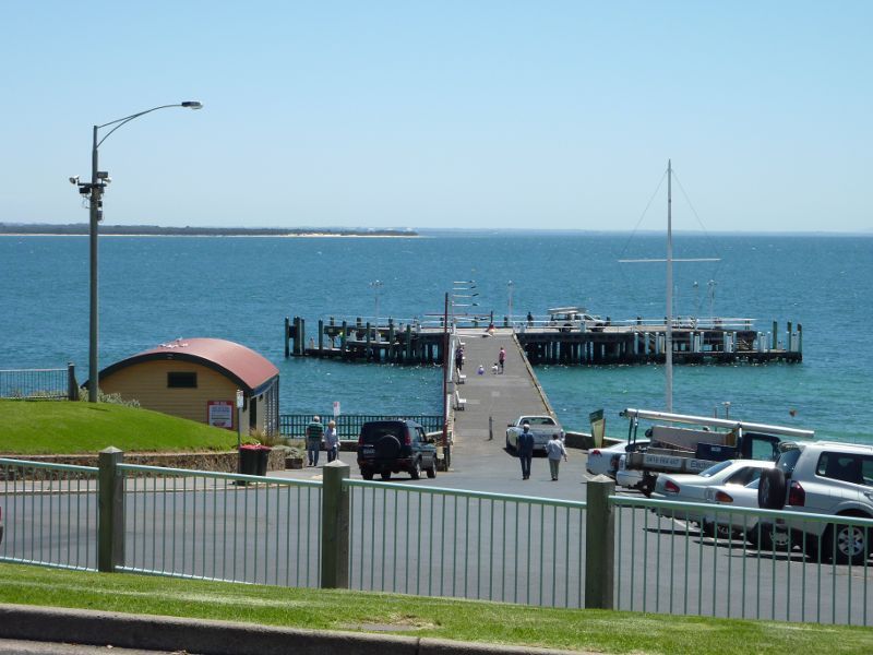
The Esplanade - View east along The Esplanade at Thompson Av towards car park at Cowes Jetty
The Esplanade - View east along The Esplanade at Thompson Av
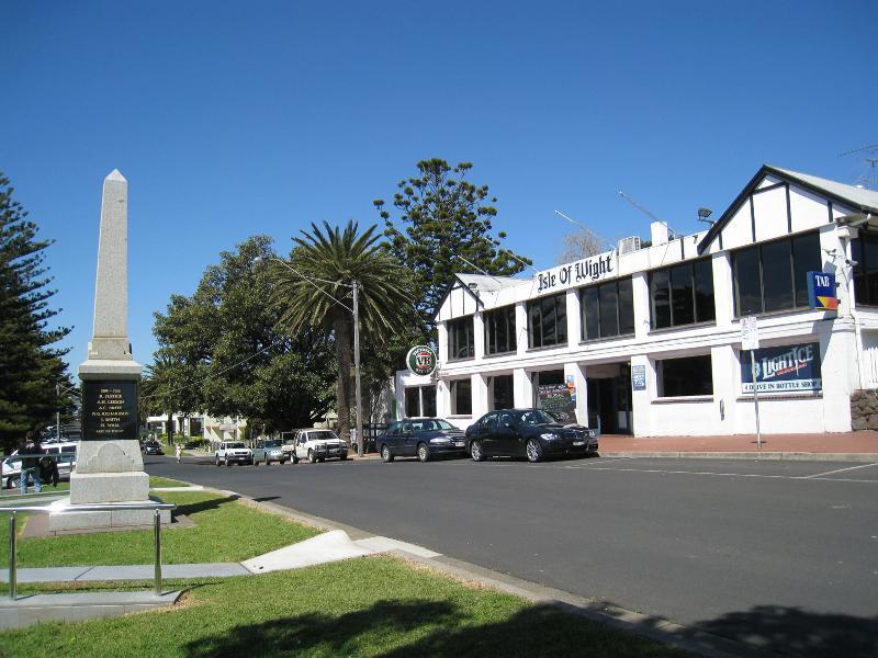
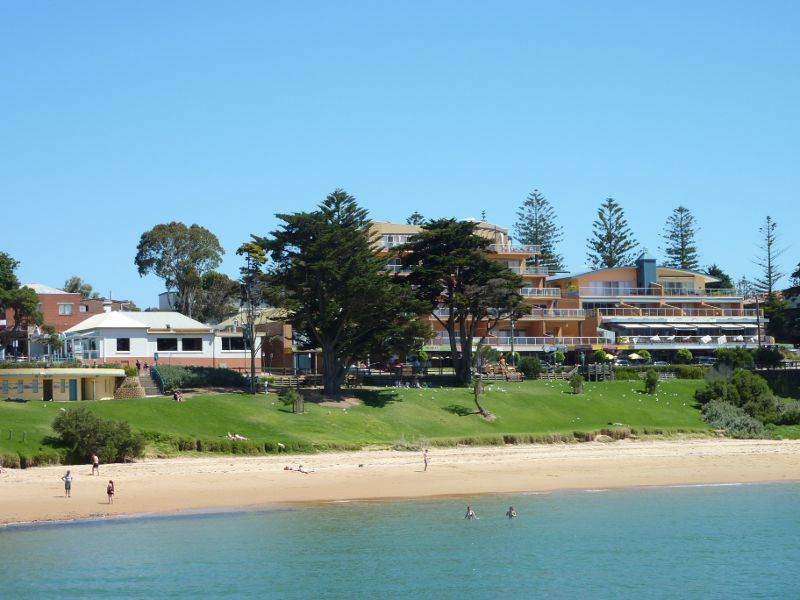
The Esplanade - Isle Of Wight Hotel (now under redevelopment), The Esplanade opposite Cowes Jetty
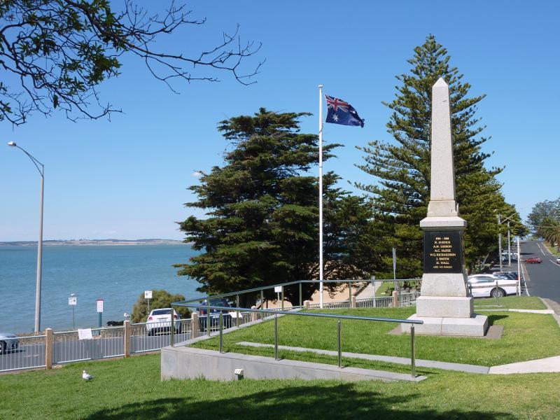
The Esplanade - View east along The Esplanade at war memorial opposite Cowes Jetty
The Esplanade - View east along The Esplanade at Bass Av towards the North Pier Hotel
The Esplanade - Entrance to the North Pier Hotel
The Esplanade - View north along Findlay St towards The Esplanade
The Esplanade - View east along The Esplanade between Findlay St and Steele St
The Esplanade - View west along Esplanade between Findlay St and Steele St
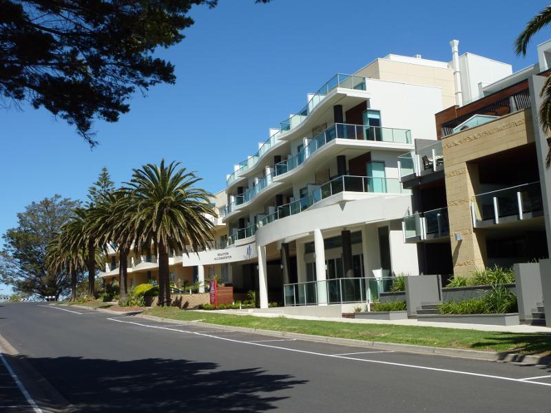
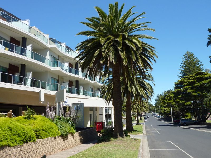
The Esplanade - The Waves Apartments, corner The Esplanade and Steele St
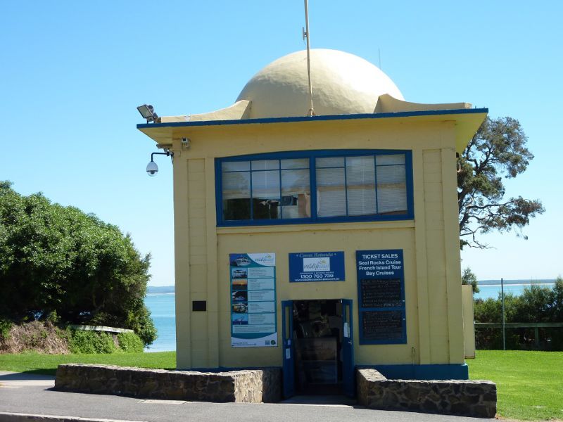
Cowes Jetty, off The Esplanade - Cruise ticket office at jetty car park
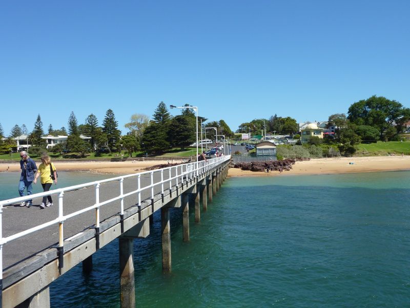
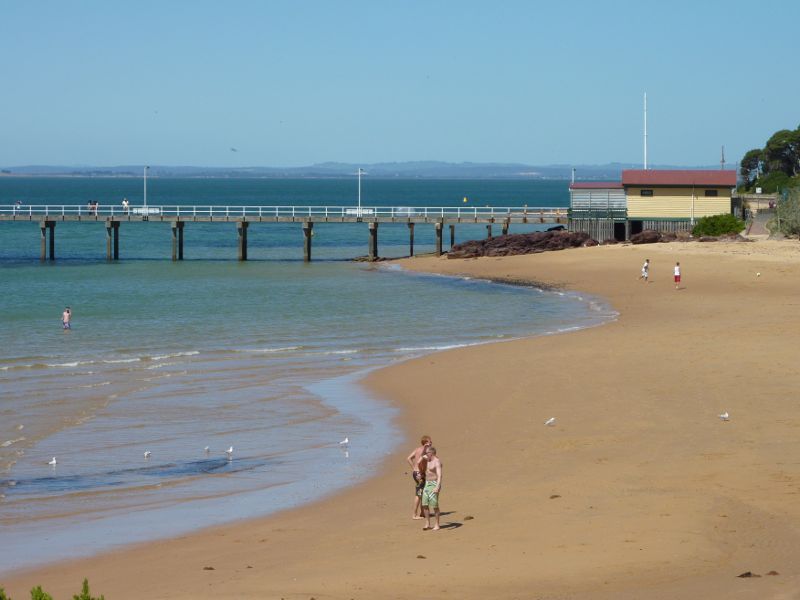
Cowes Jetty, off The Esplanade - View along jetty from behind cruise ticket office
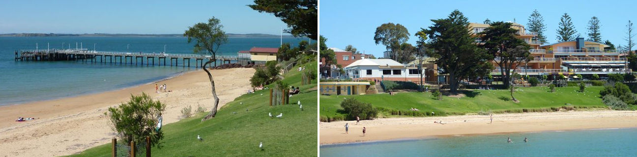
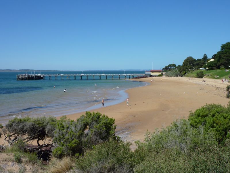
Cowes Jetty, off The Esplanade - View along jetty from beach
Cowes Jetty, off The Esplanade - View north along jetty from car park
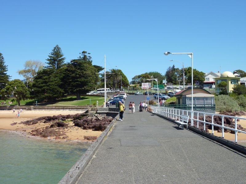
Cowes Jetty, off The Esplanade - View along jetty from foreshore
Cowes Jetty, off The Esplanade - View east along beach at jetty entrance
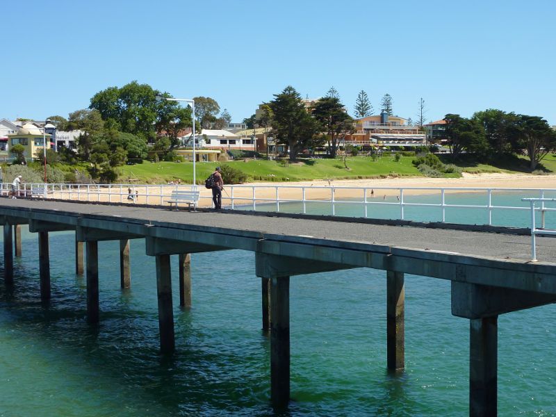
Cowes Jetty, off The Esplanade - View south along jetty towards cafe and car park
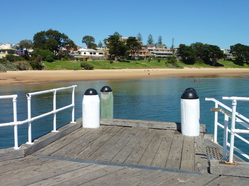
Cowes Jetty, off The Esplanade - View of beach on west side of jetty
Cowes Jetty, off The Esplanade - View from jetty towards beach to the west
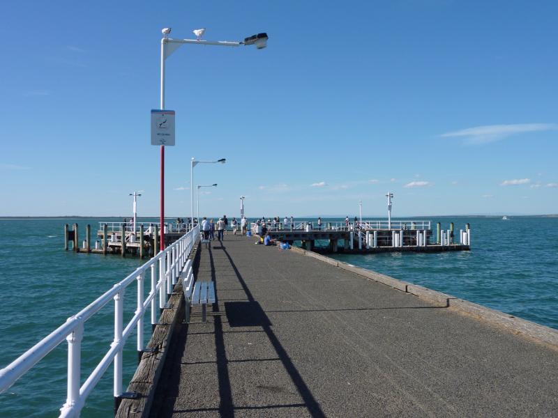
Cowes Jetty, off The Esplanade - View north along jetty
Cowes Jetty, off The Esplanade - View south along jetty towards beach
Cowes Jetty, off The Esplanade - View across jetty towards foreshore
Cowes Jetty, off The Esplanade - View of beach on east side of jetty
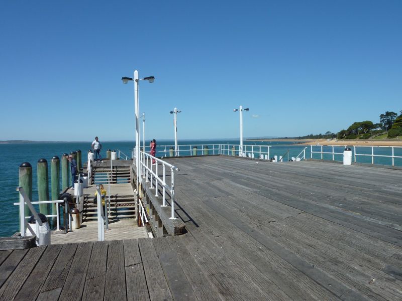
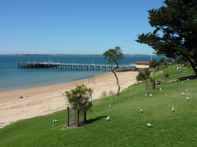
Cowes Jetty, off The Esplanade - View along eastern arm of jetty
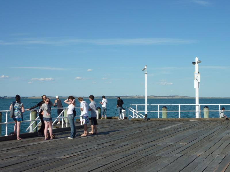
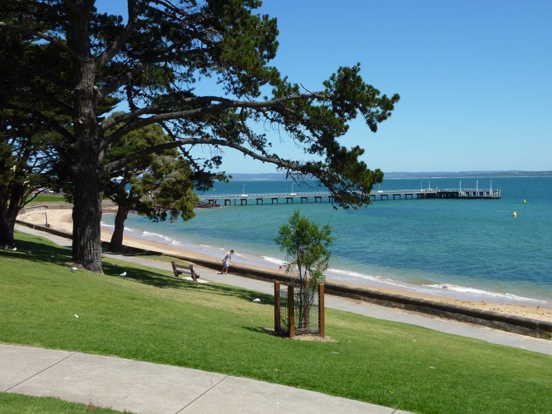
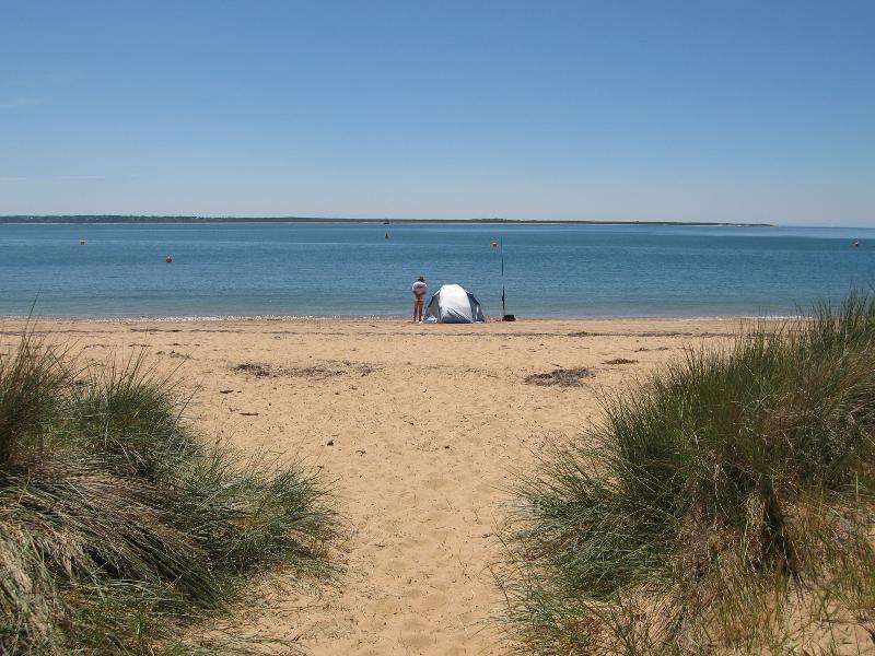
Cowes Jetty, off The Esplanade - View from end of jetty towards French Island
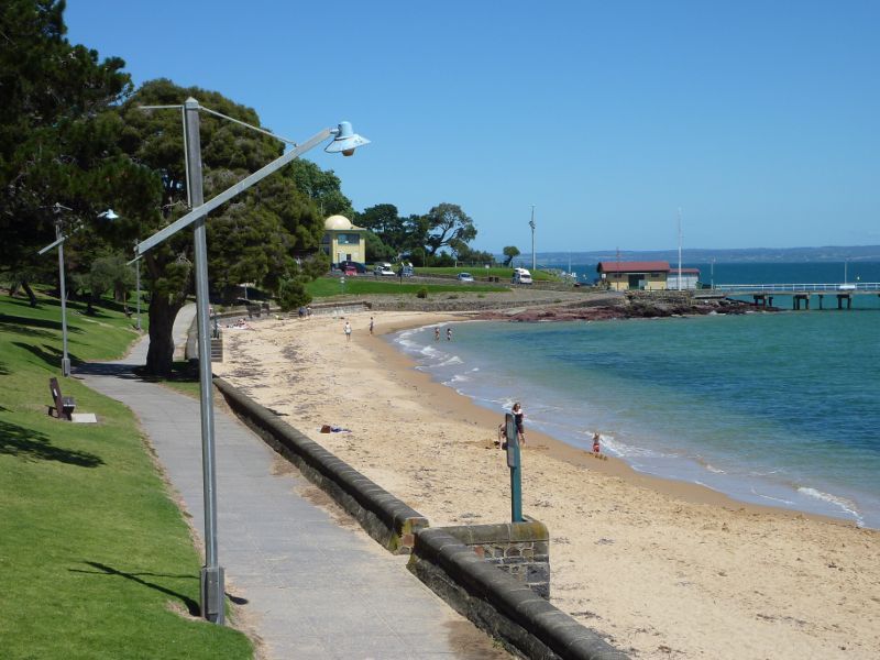
Coast between Cowes Jetty and Mussel Rocks - View of jetty from viewing platform above toilets on The Esplanade
Coast between Cowes Jetty and Mussel Rocks - View east along foreshore towards Cowes Jetty
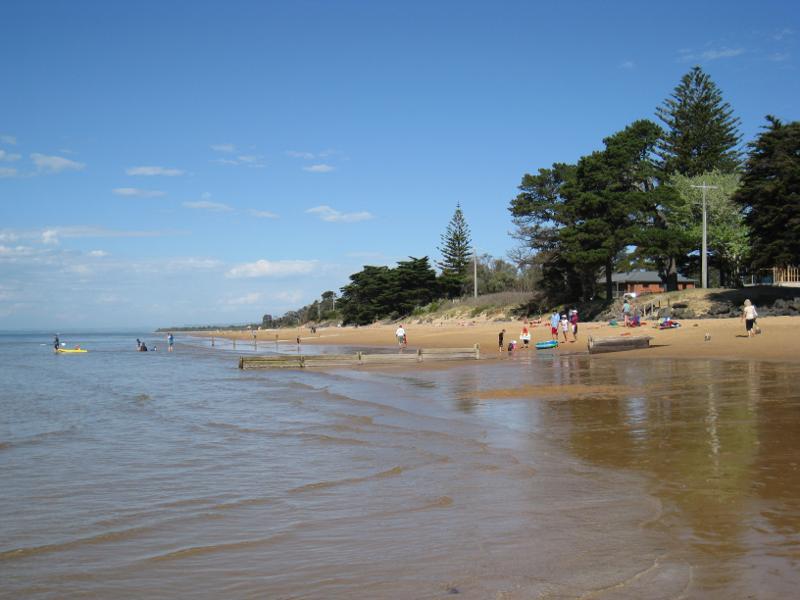
Coast between Cowes Jetty and Mussel Rocks - View east along beach towards jetty
Coast between Cowes Jetty and Mussel Rocks - View across beach towards jetty and French Island
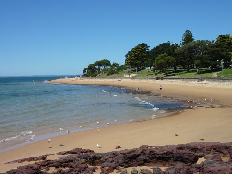
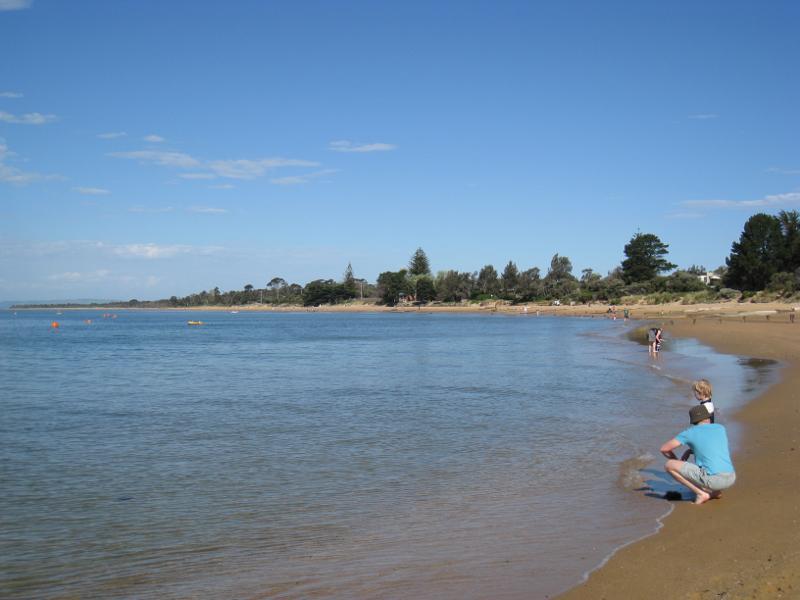
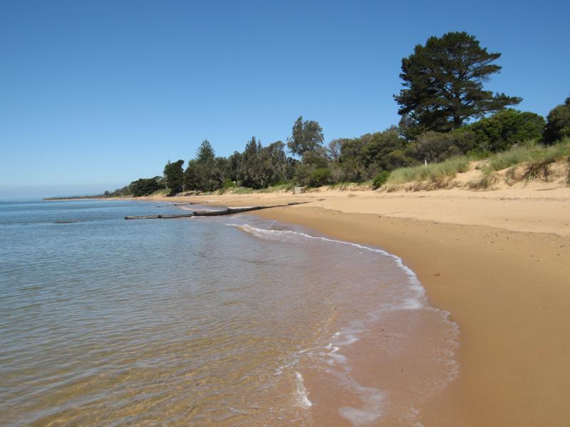
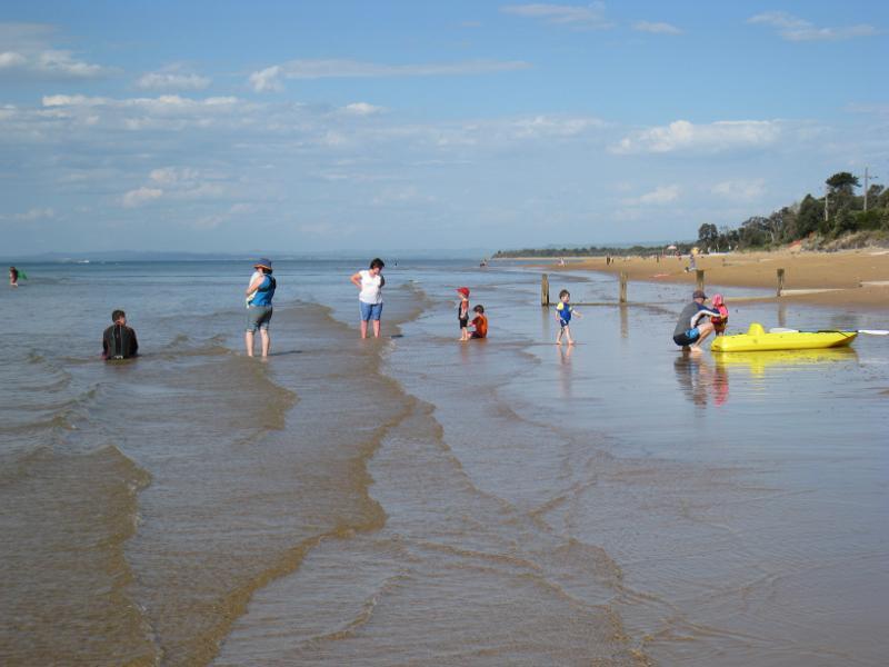
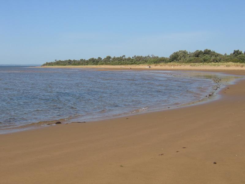
Coast between Cowes Jetty and Mussel Rocks - View west along beach
Coast between Cowes Jetty and Mussel Rocks - View west along beach
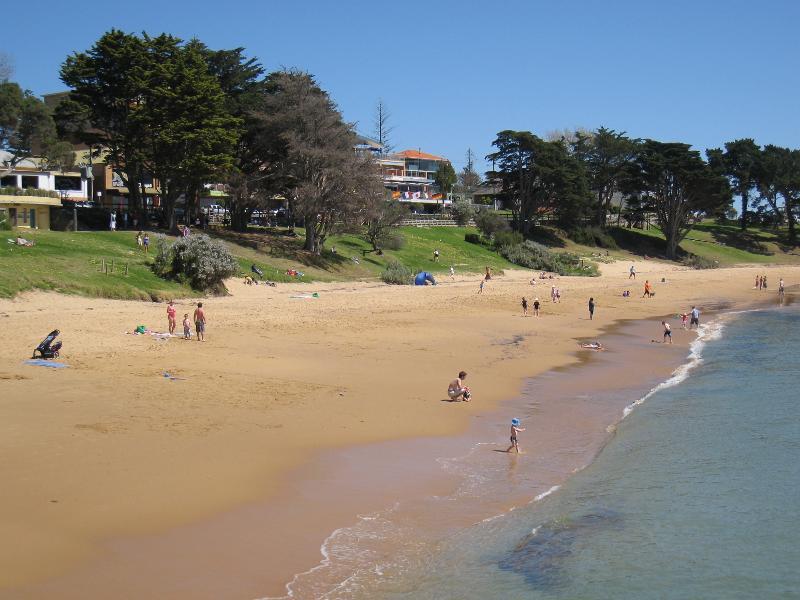
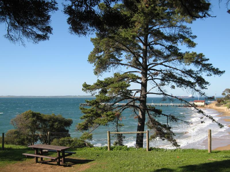
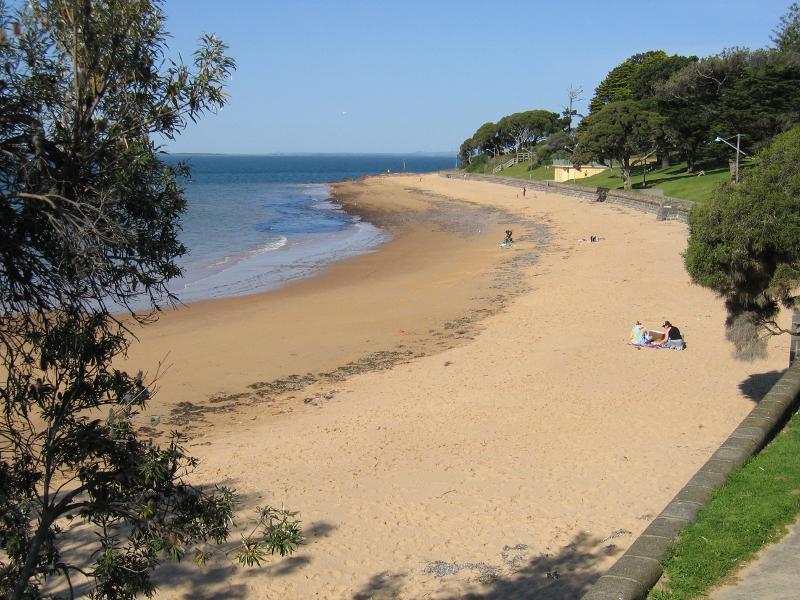
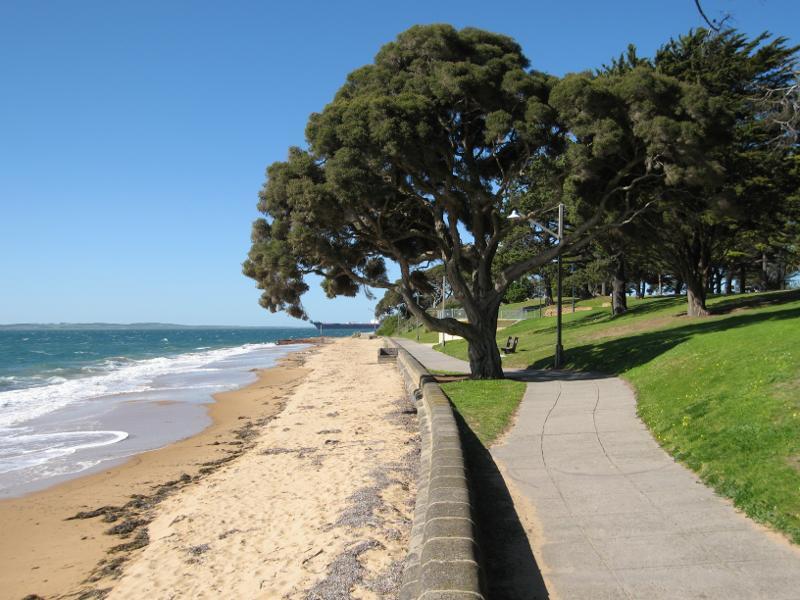
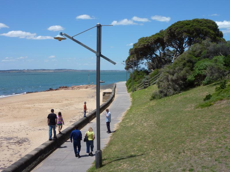
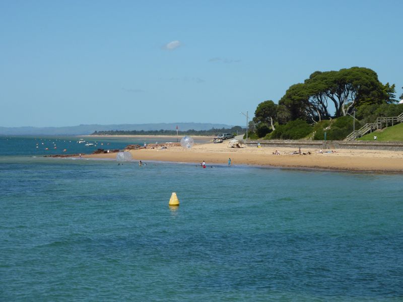
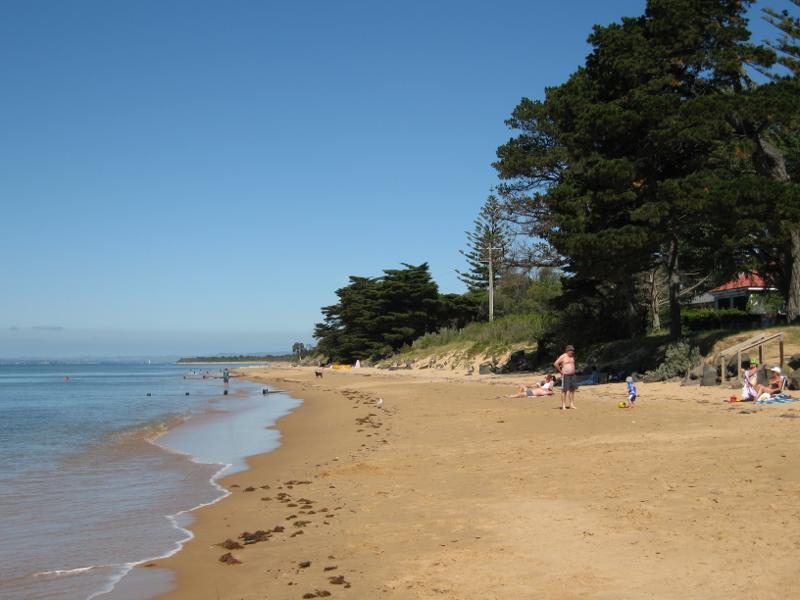
Coast between Cowes Jetty and Mussel Rocks - Beach and foreshore along The Esplanade
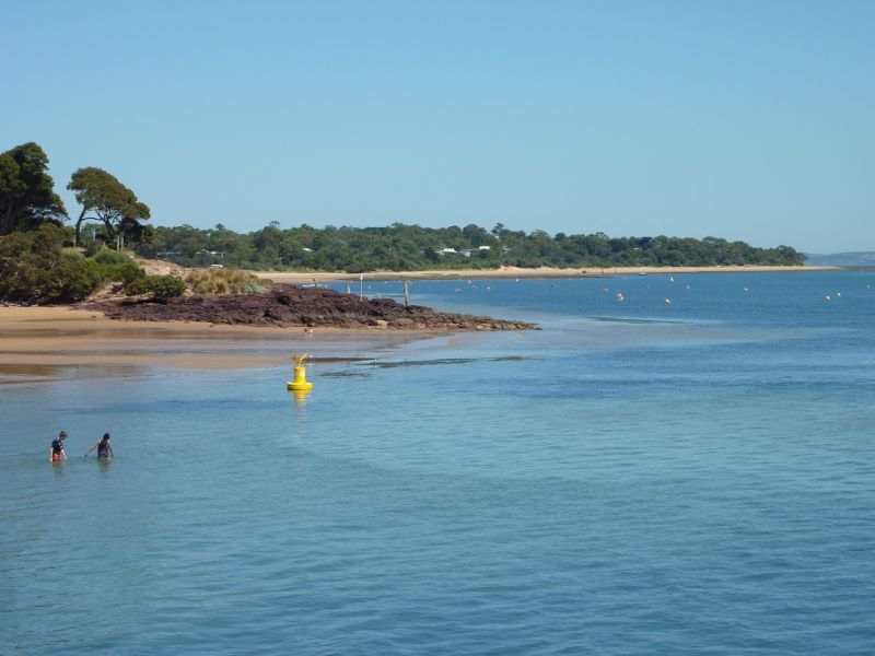
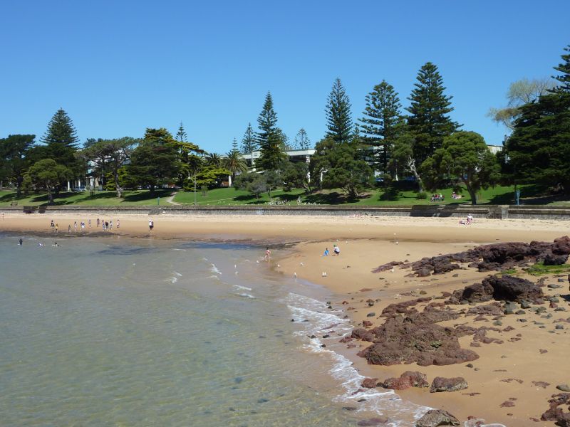
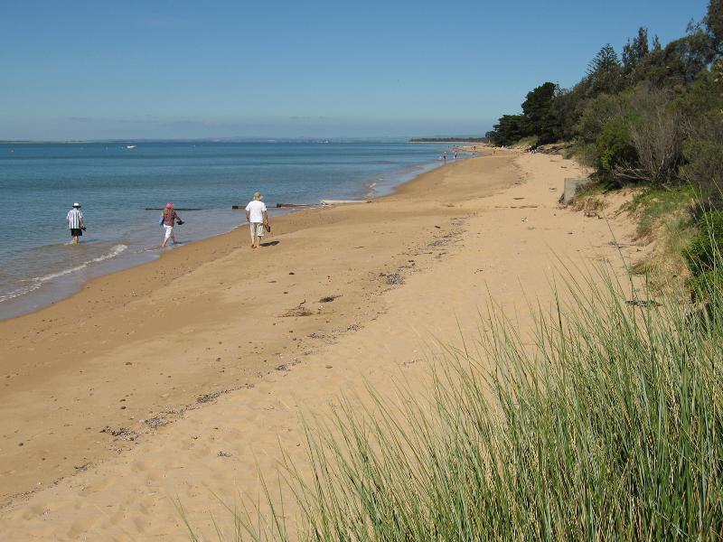
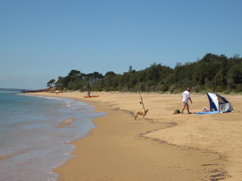
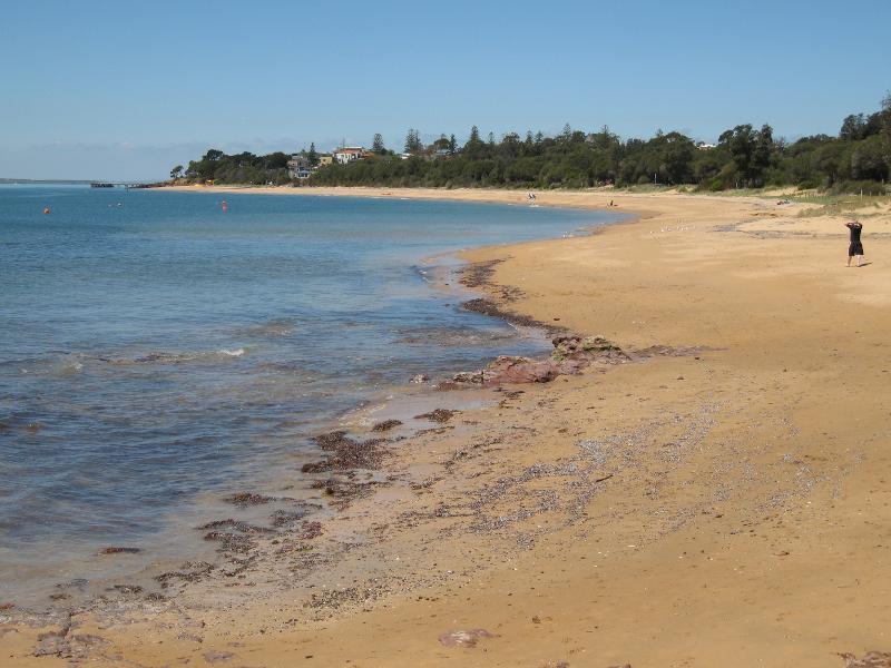
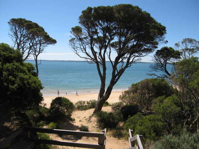
Coast between Cowes Jetty and Mussel Rocks - View west along beach towards Mussel Rocks and Richardson Point
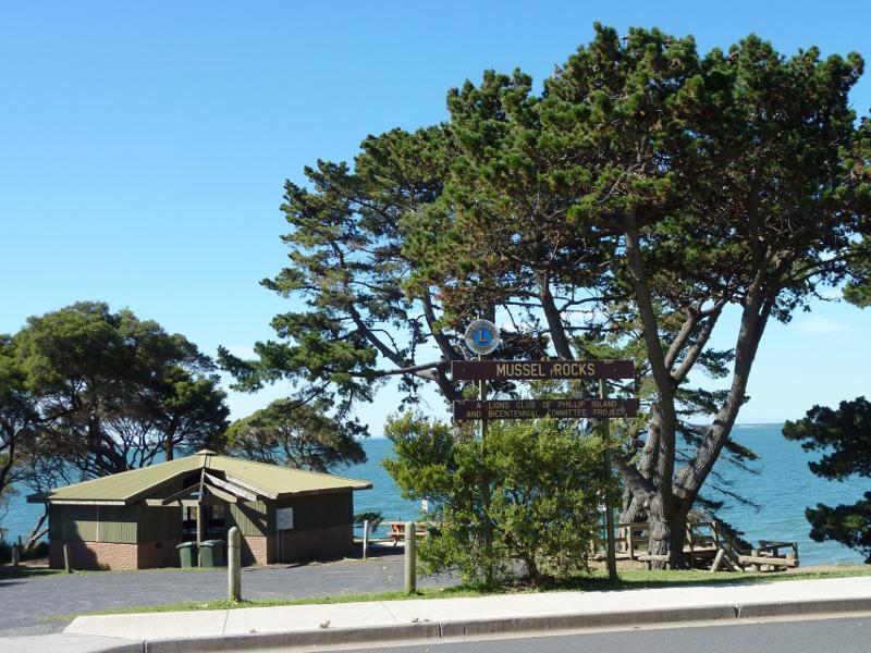
Coast between Cowes Jetty and Mussel Rocks - BBQ shelter and car park at entrance to Mussel Rocks, The Esplanade
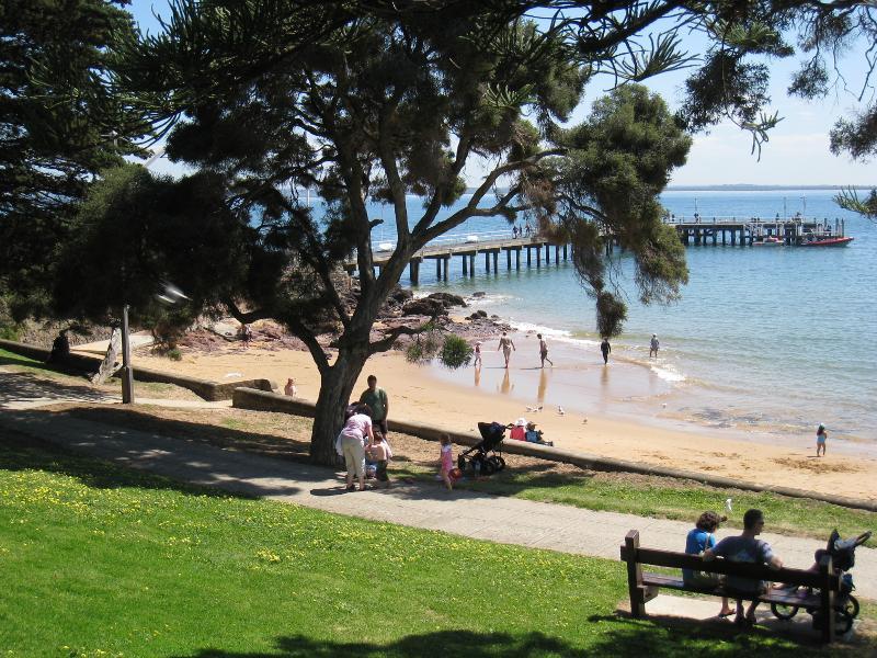
Coast between Cowes Jetty and Mussel Rocks - View east towards jetty from picnic area at Mussel Rocks
Coast between Cowes Jetty and Mussel Rocks - Steps down from Mussel Rocks to beach with jetty in background
Coast between Cowes Jetty and Mussel Rocks - View east towards jetty from Mussel Rocks
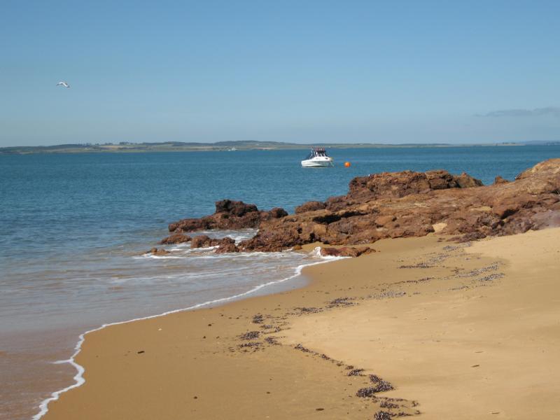
Coast between Cowes Jetty and Mussel Rocks - View east along beach from Mussel Rocks
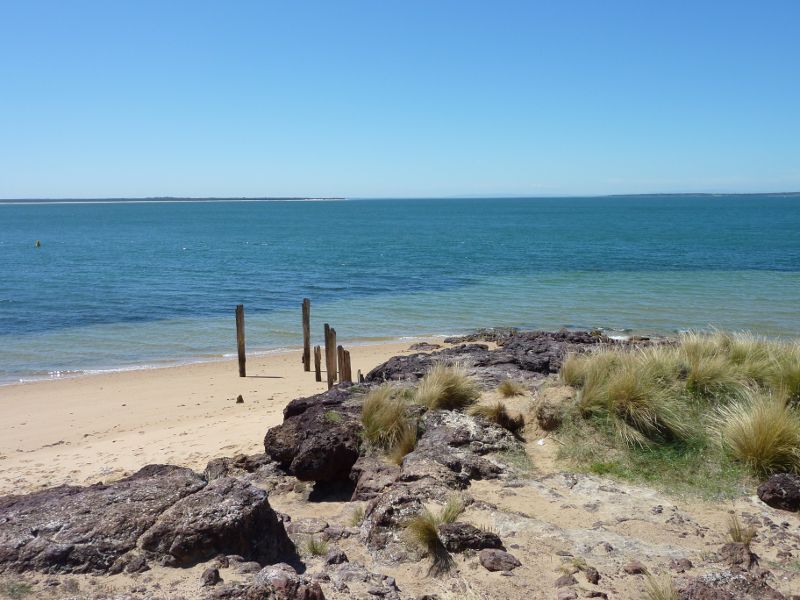
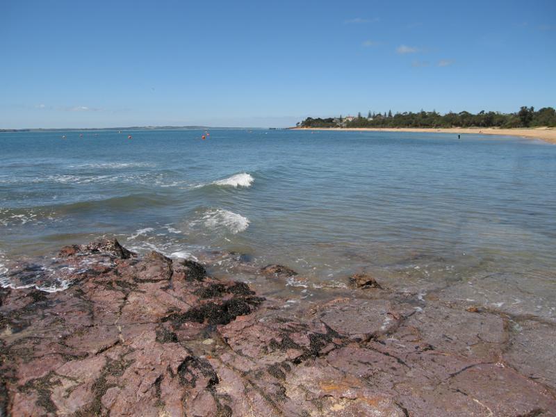
Coast between Cowes Jetty and Mussel Rocks - Coast at northern end of Mussel Rocks
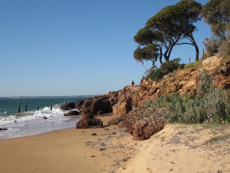
Coast between Cowes Jetty and Mussel Rocks - View west along beach from Mussel Rocks
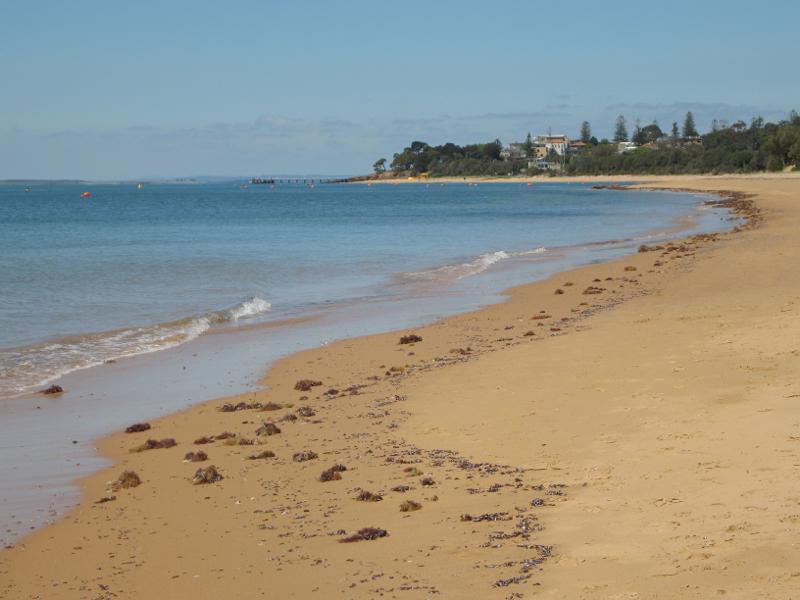
Coast between Cowes Jetty and Mussel Rocks - View east along beach towards Mussel Rocks
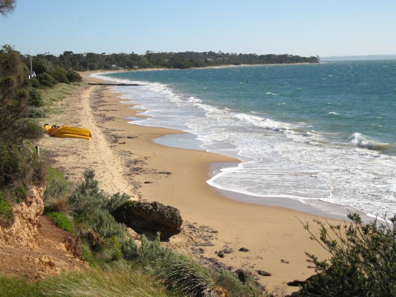
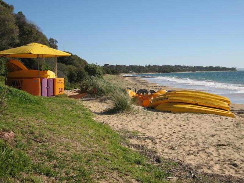
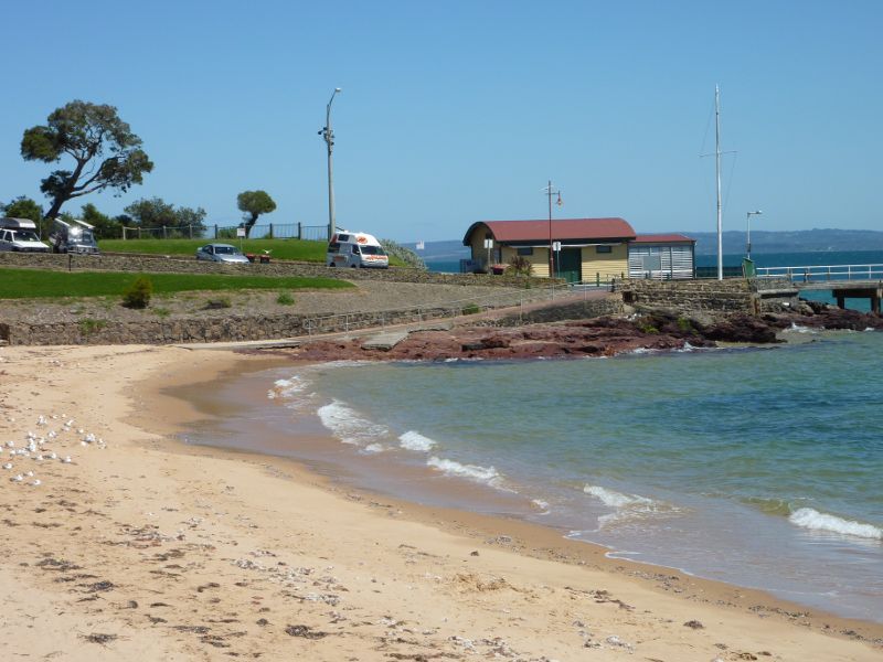
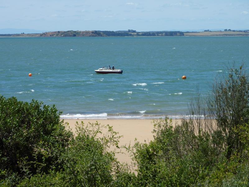
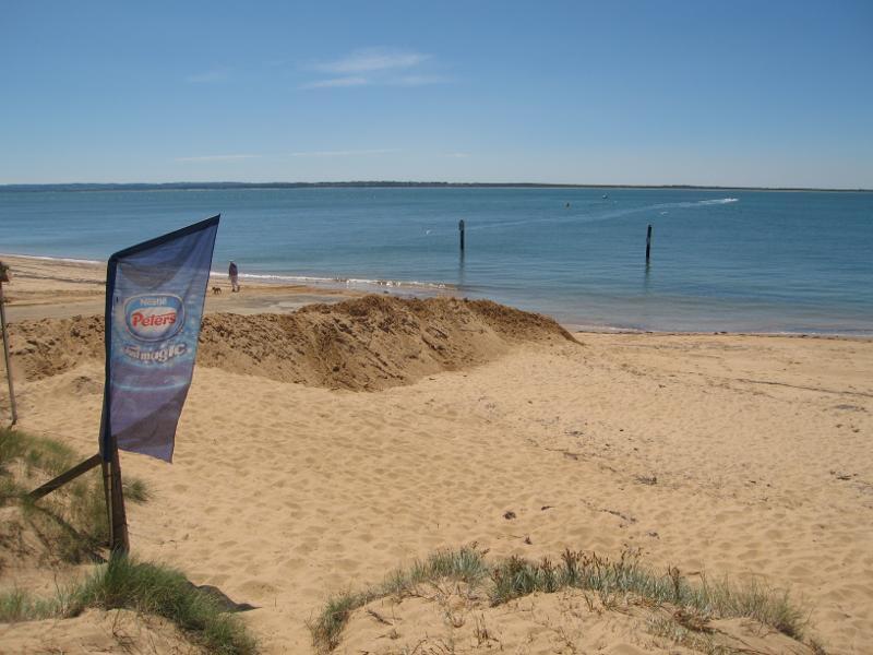
Coast between Cowes Jetty and Mussel Rocks - Boat hire, beach on west side of Mussel Rocks
Coast between Cowes Jetty and Erehwon Point - View towards beach and foreshore from near jetty
Coast between Cowes Jetty and Erehwon Point - View east along beach at jetty
Coast between Cowes Jetty and Erehwon Point - View west along beach towards jetty entrance
Coast between Cowes Jetty and Erehwon Point - View from foreshore down to beach and jetty
Coast between Cowes Jetty and Erehwon Point - View east along beach
Coast between Cowes Jetty and Erehwon Point - View across beach towards jetty
Coast between Cowes Jetty and Erehwon Point - View west along foreshore towards beach and jetty
Coast between Cowes Jetty and Erehwon Point - Beach and foreshore in front of the North Pier Hotel
Coast between Cowes Jetty and Erehwon Point - View east along foreshore and beach
Coast between Cowes Jetty and Erehwon Point - View east along beach towards toilets
Coast between Cowes Jetty and Erehwon Point - View east along foreshore towards viewing platform above toilets
Coast between Cowes Jetty and Erehwon Point - View west along beach towards jetty
Coast between Cowes Jetty and Erehwon Point - Viewing platform above toilets overlooking beach and jetty
Coast between Cowes Jetty and Erehwon Point - Foreshore picnic area above toilets
Coast between Cowes Jetty and Erehwon Point - View east along beach
Coast between Cowes Jetty and Erehwon Point - View east along beach
Coast between Cowes Jetty and Erehwon Point - Boat on the water with Erehwon Point in background
Coast between Cowes Jetty and Erehwon Point - View across water towards Erehwon Point
Coast between Cowes Jetty and Erehwon Point - Rocks on beach at tip of Erehwon Point
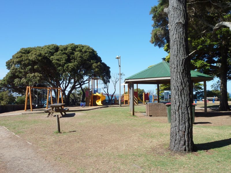
Coast between Cowes Jetty and Erehwon Point - BBQ shelter and playground at Erehwon Point
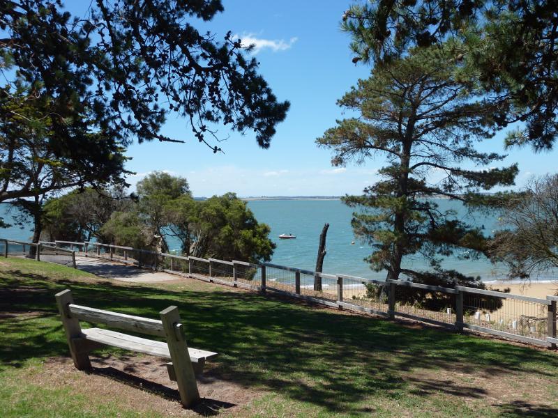
Coast between Cowes Jetty and Erehwon Point - Picnic area at Erehwon Point
Coast between Cowes Jetty and Erehwon Point - Lawns along eastern side of Erehwon Point
Lovers Walk, east of Erehwon Point - View east along Lovers Walk near The Esplanade
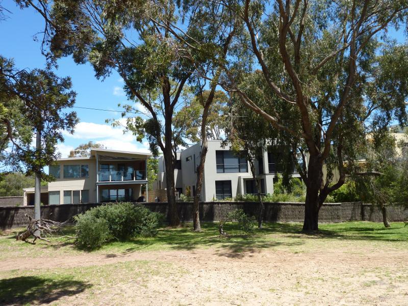
Lovers Walk, east of Erehwon Point - Houses facing Lovers Walk near The Esplanade
Beach and foreshore between Erehwon Point and Coghlan Road - Beach at tip of Erehwon Point
Beach and foreshore between Erehwon Point and Coghlan Road - Easterly view from rocks at tip of Erehwon Point
Beach and foreshore between Erehwon Point and Coghlan Road - Easterly view from beach at Erehwon Point
Beach and foreshore between Erehwon Point and Coghlan Road - View down to beach from eastern side of Erehwon Point
Beach and foreshore between Erehwon Point and Coghlan Road - View east along beach from Erehwon Point
Beach and foreshore between Erehwon Point and Coghlan Road - View east along beach from Erehwon Point
Beach and foreshore between Erehwon Point and Coghlan Road - View east along beach from Erehwon Point
Beach and foreshore between Erehwon Point and Coghlan Road - View north across beach from Lovers Walk towards French Island
Beach and foreshore between Erehwon Point and Coghlan Road - Easterly view along beach
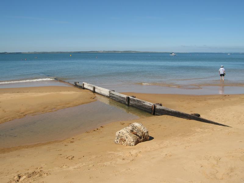
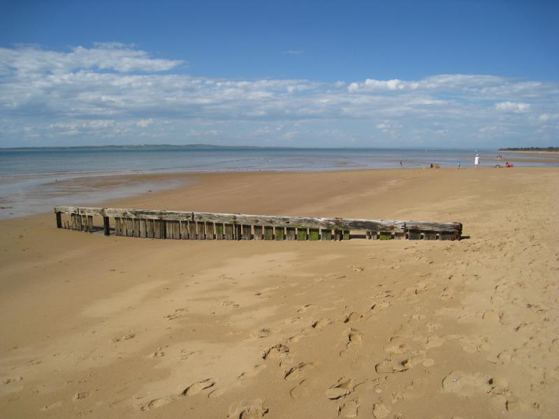
Beach and foreshore between Erehwon Point and Coghlan Road - Timber groyne on beach
Beach and foreshore between Erehwon Point and Coghlan Road - Boat ramp off Lovers Walk
Beach and foreshore between Erehwon Point and Coghlan Road - Easterly view along beach
Beach and foreshore between Erehwon Point and Coghlan Road - Easterly view along beach
Beach and foreshore between Erehwon Point and Coghlan Road - View east along beach at Dunsmore Rd
Beach and foreshore between Erehwon Point and Coghlan Road - View east along beach, east of Dunsmore Rd
Beach and foreshore between Erehwon Point and Coghlan Road - View east along beach, east of Dunsmore Rd
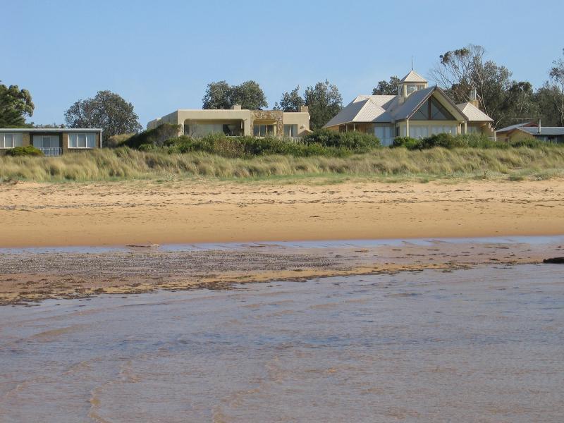
Beach and foreshore between Erehwon Point and Coghlan Road - House fronting beach, corner Stradbroke Av and Rose Av
Beach and foreshore between Erehwon Point and Coghlan Road - Groyne near Coghlan Rd
Beach and foreshore between Erehwon Point and Coghlan Road - View east along beach near Coghlan Rd
Beach and foreshore between Erehwon Point and Coghlan Road - View east along beach near Coghlan Rd
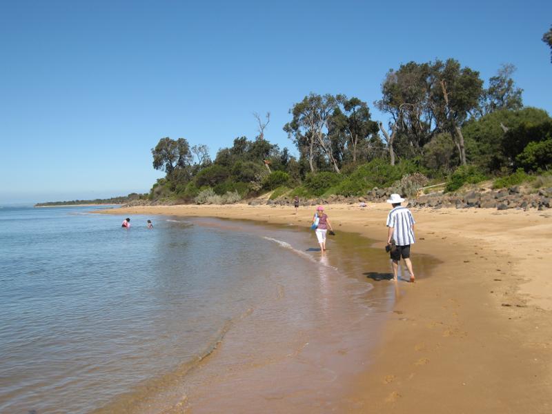
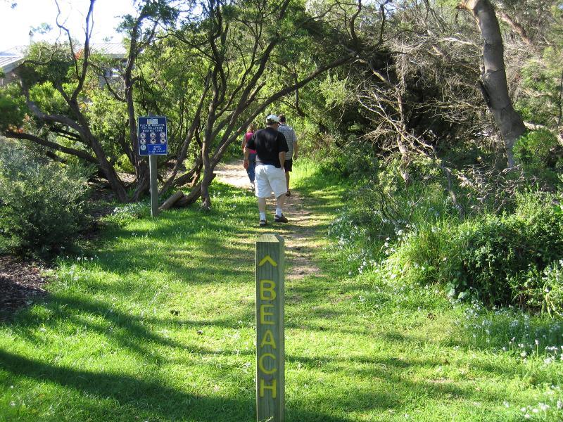
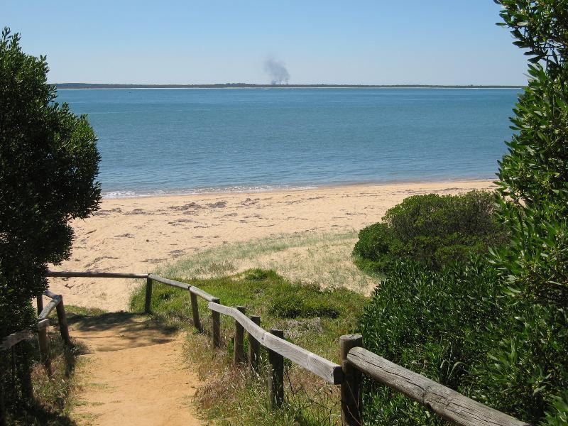
Beach and foreshore, Silverleaves Avenue, east of Cowes - Walking track through foreshore from Silverleaves Av to beach
Beach and foreshore, Silverleaves Avenue, east of Cowes - View towards beach from foreshore
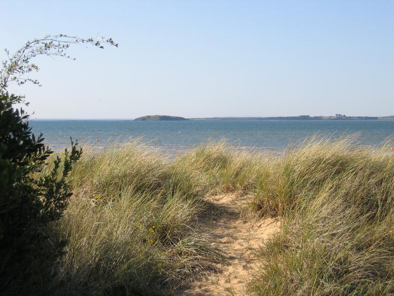
Beach and foreshore, Silverleaves Avenue, east of Cowes - View north across beach towards French Island
Beach and foreshore, Silverleaves Avenue, east of Cowes - View east along beach
Beach and foreshore, Silverleaves Avenue, east of Cowes - View east along beach
Beach and foreshore, Silverleaves Avenue, east of Cowes - Houses fronting beach along Silverleaves Av
Beach at end of McKenzie Road - View to beach from foreshore
Beach at end of McKenzie Road - View north-east along beach from foreshore
Beach at end of McKenzie Road - View north-east along beach
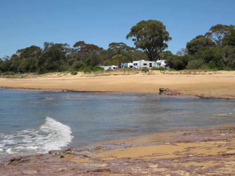
Beach at end of McKenzie Road - View west along beach towards caravan park
Coast at Richardson Point, at end of McHaffie Drive - Lawn at top of cliff above beach
Coast at Richardson Point, at end of McHaffie Drive - Steps down to beach
Coast at Richardson Point, at end of McHaffie Drive - View south-east across beach towards caravan park
Coast at Richardson Point, at end of McHaffie Drive - View east along beach towards Mussel Rocks
Coast at Richardson Point, at end of McHaffie Drive - North-easterly view from rocky platform towards Mussel Rocks
Boat ramp and beach at end of Anderson Road - The Hut Cafe at boat ramp
Boat ramp and beach at end of Anderson Road - View towards boat ramp from cafe
Boat ramp and beach at end of Anderson Road - View east along coast at cafe
Boat ramp and beach at end of Anderson Road - View east along coast towards Mussel Rocks
Boat ramp and beach at end of Anderson Road - View across beach towards French Island
Boat ramp and beach at end of Anderson Road - View west along beach
Beach at end of Justice Road - Pathway down to beach
Beach at end of Justice Road - View from beach back towards foreshore
Beach at end of Justice Road - View across beach towards French Island
Beach at end of Justice Road - View east along beach
Beach at end of Justice Road - View east along beach
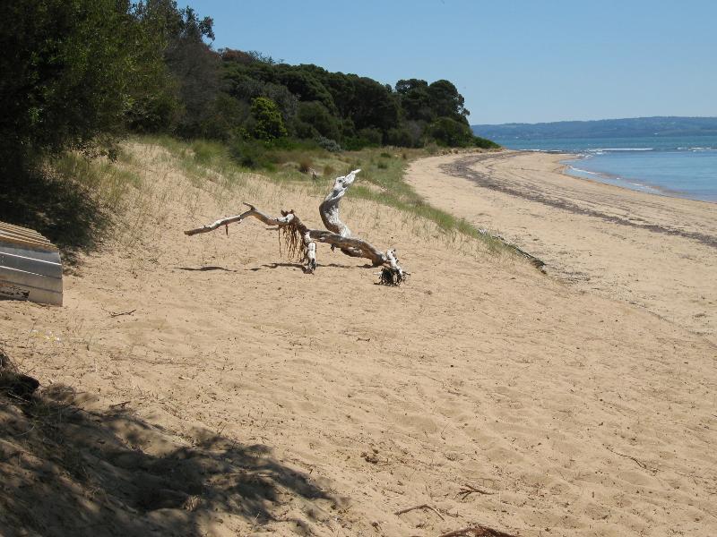
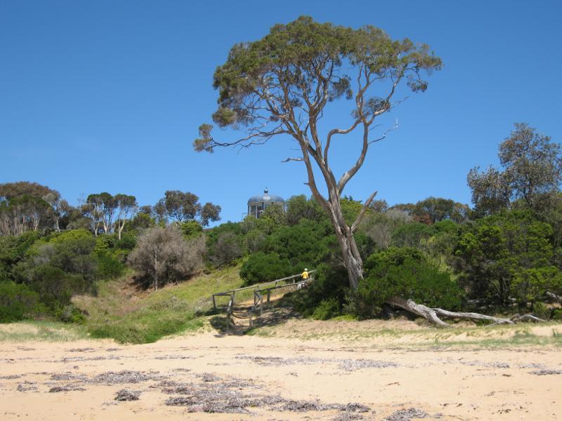
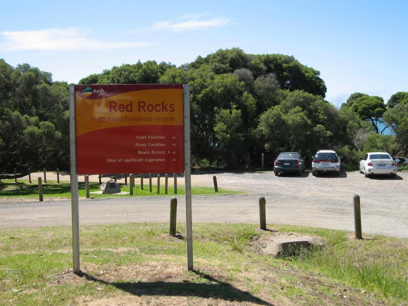
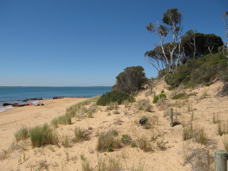
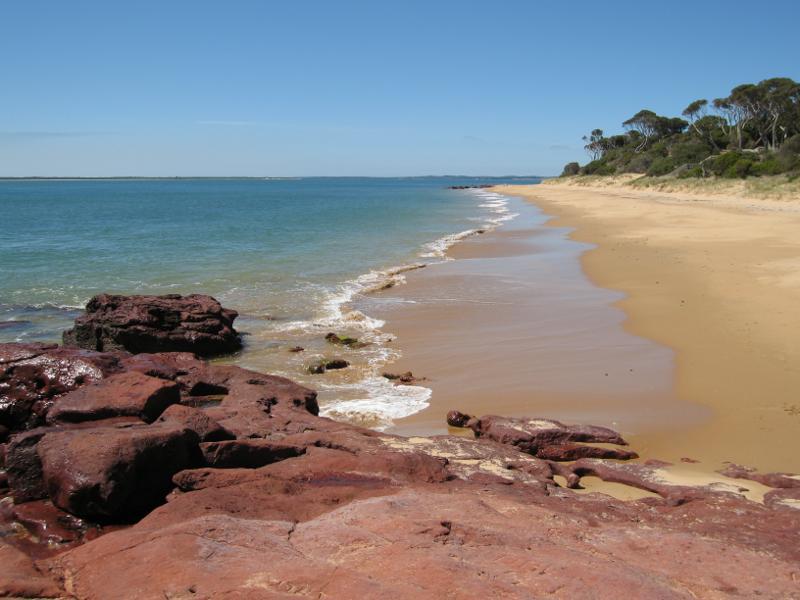
Red Rocks and Penguin Point at end of Red Rocks Road - Car park at end of Red Rocks Road
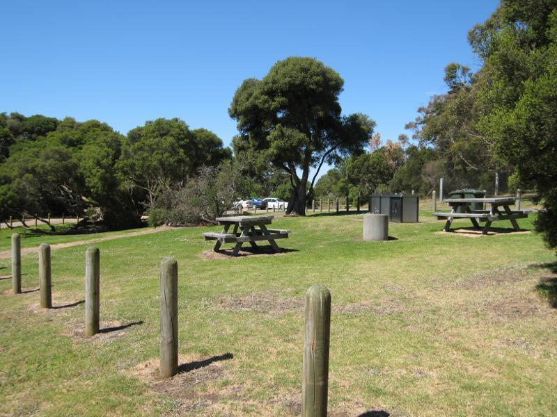
Red Rocks and Penguin Point at end of Red Rocks Road - Picnic and BBQ area
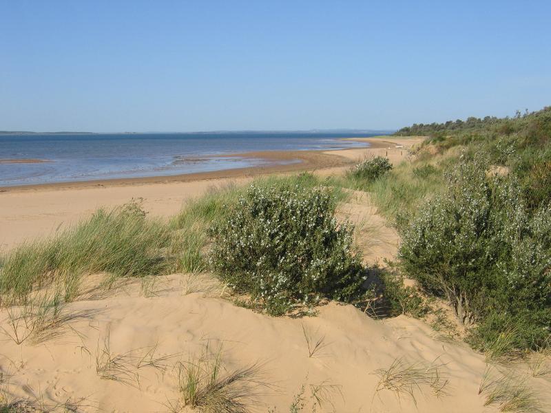
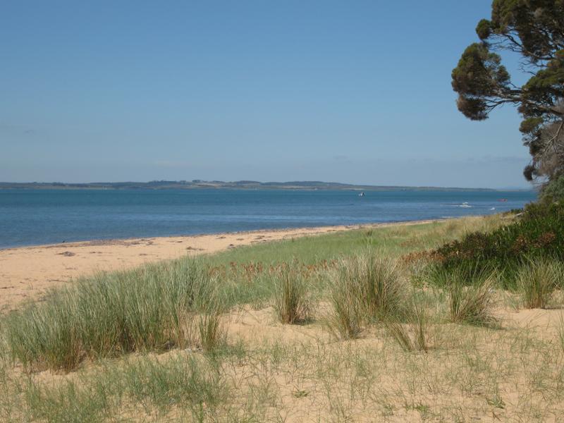
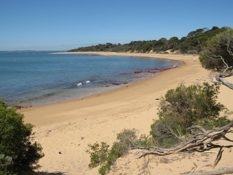
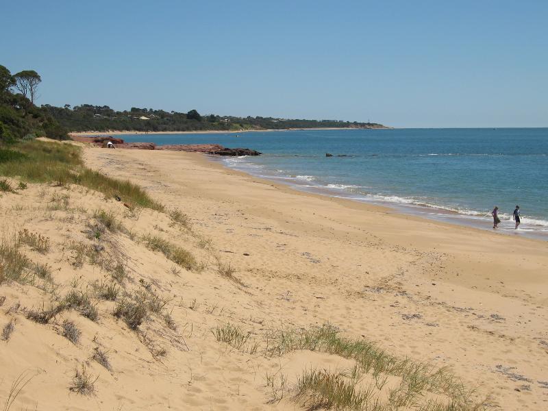
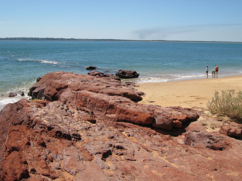
Red Rocks and Penguin Point at end of Red Rocks Road - View north-east along beach from top of sand dunes
Red Rocks and Penguin Point at end of Red Rocks Road - View north-east along beach
Red Rocks and Penguin Point at end of Red Rocks Road - View north across beach from top of sand dunes towards Mornington Peninsula
Red Rocks and Penguin Point at end of Red Rocks Road - North-easterly view from sand dunes
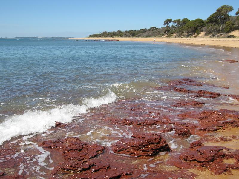
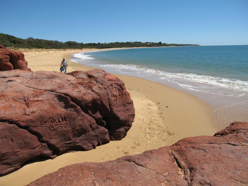
Red Rocks and Penguin Point at end of Red Rocks Road - View south-west along beach towards Penguin Rock and McHaffie Point
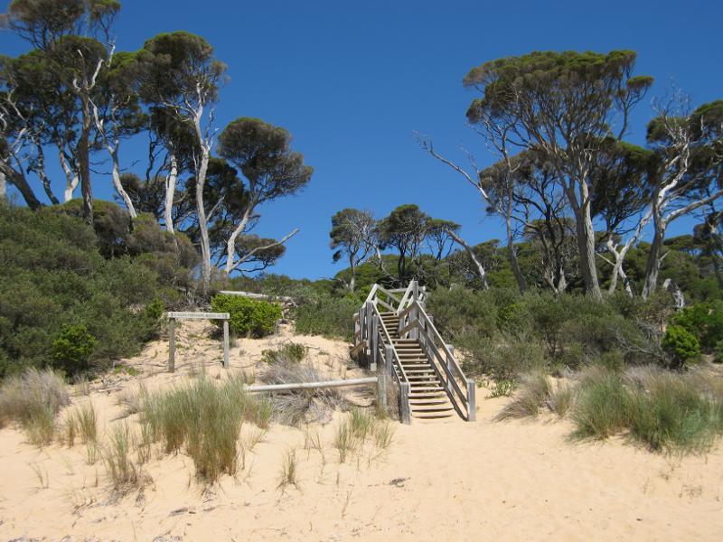
Red Rocks and Penguin Point at end of Red Rocks Road - Steps up from beach to picnic area above
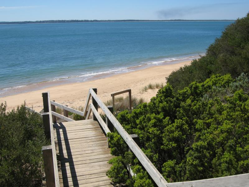
Red Rocks and Penguin Point at end of Red Rocks Road - View down to beach from steps at picnic area
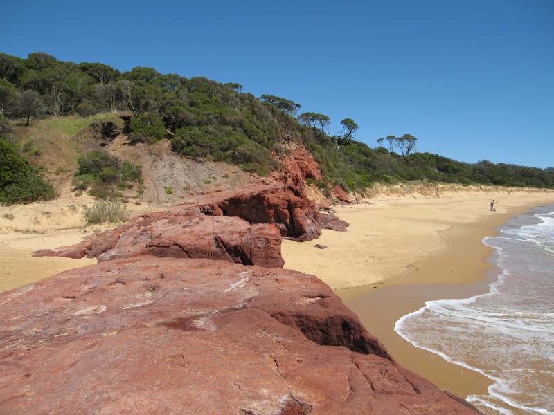
Red Rocks and Penguin Point at end of Red Rocks Road - View north-east along beach at Penguin Rock
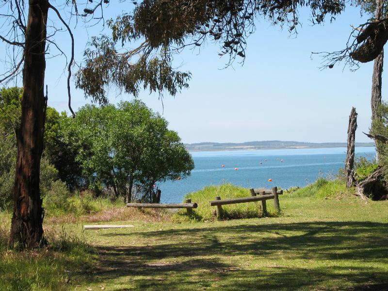
Red Rocks and Penguin Point at end of Red Rocks Road - View across bay from Penguin Rock
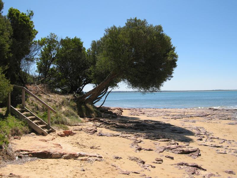
Red Rocks and Penguin Point at end of Red Rocks Road - Coastline on western side of Penguin Rock
Red Rocks and Penguin Point at end of Red Rocks Road - View south-west along coast from Penguin Rock towards McHaffie Point
Red Rocks and Penguin Point at end of Red Rocks Road - View down to beach from steps near Penguin Rock
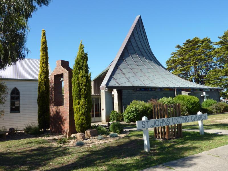
Around Cowes - St Johns Church, corner Chapel St and Warley Av
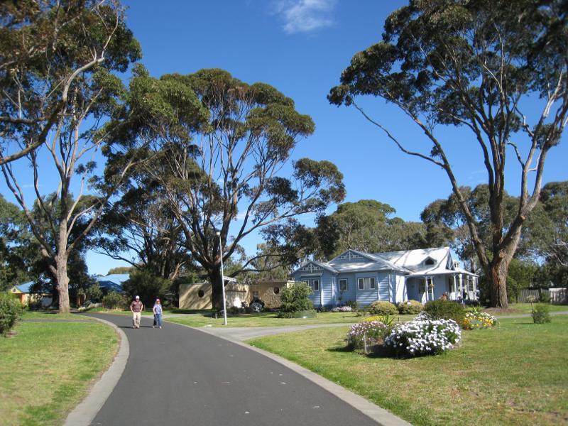
Around Cowes - View east along Hereward Cl
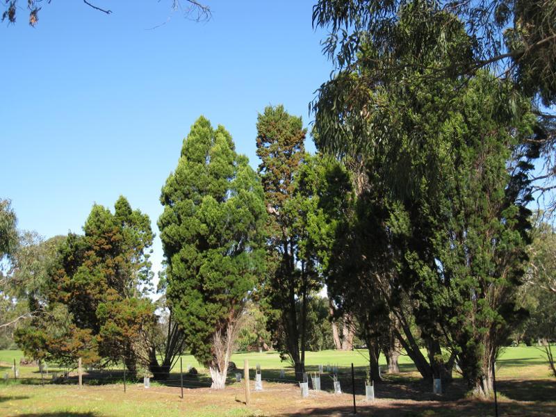
Around Cowes - Cowes Golf Course viewed from path off end of Hereward Cl