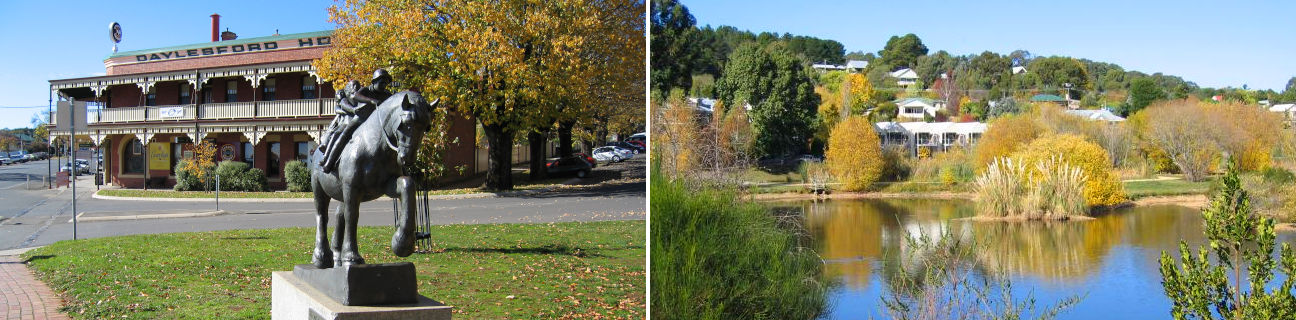
Daylesford - photos
Daylesford
Stay
See and do
Food and drink
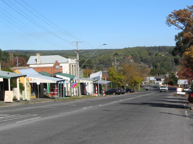
Shopping
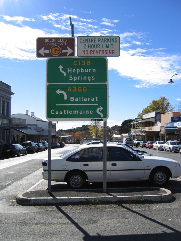
Getting around
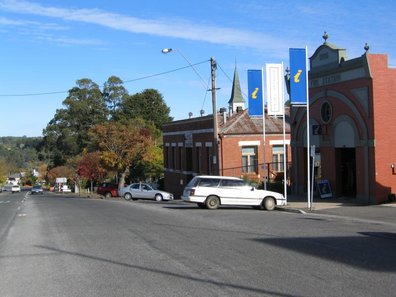
Visitor information
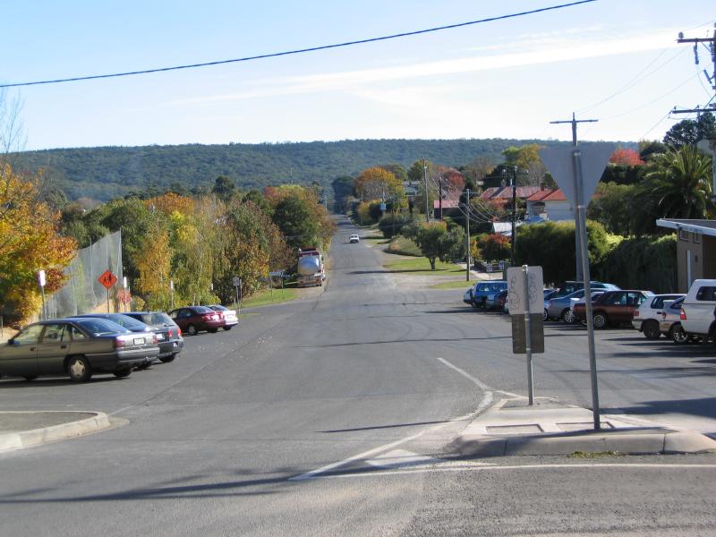
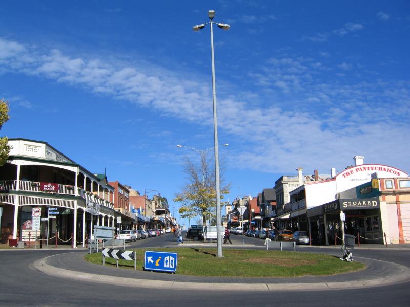
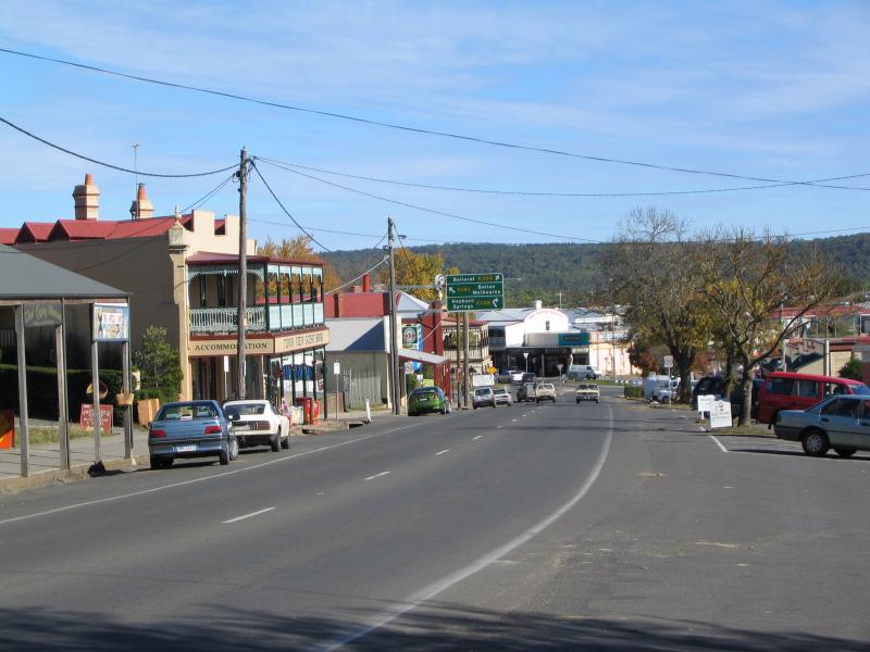
 Commercial centre and shops - View south along Vincent St at Tourist Information Centre
 Commercial centre and shops - View south along Vincent St between Central Springs Rd and Stanbridge St
 Commercial centre and shops - Post Office, view south along Vincent St at Central Springs Rd
 Commercial centre and shops - View west along Central Springs Rd at Vincent St
 Commercial centre and shops - View north along Vincent St at Central Springs Rd
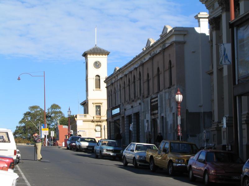 Commercial centre and shops - View south along Vincent St towards Central Springs Rd and Post Office
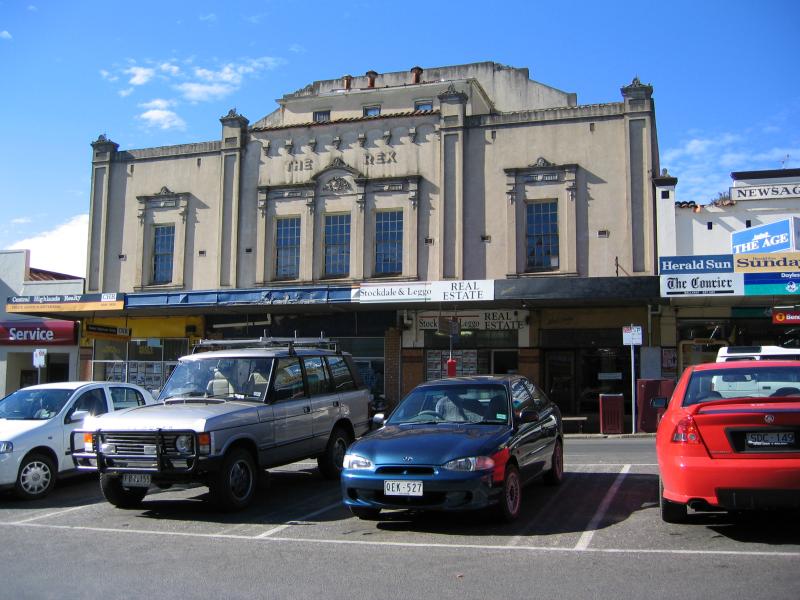
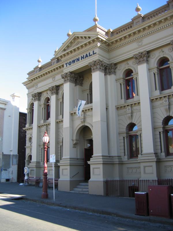 Commercial centre and shops - Town Hall, Vincent St
 Commercial centre and shops - View north along Vincent St between Central Springs Rd and Albert St
 Commercial centre and shops - View north along Vincent St between Central Springs Rd and Albert St
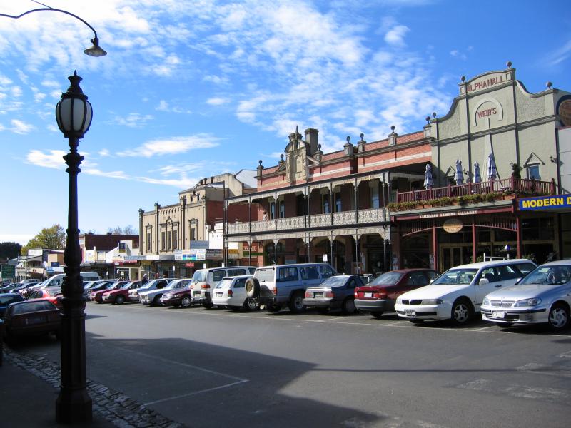
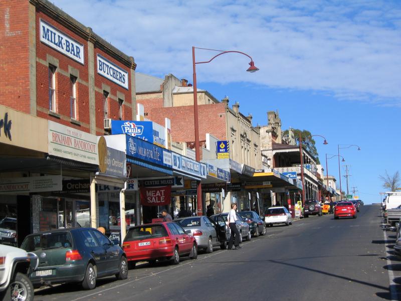
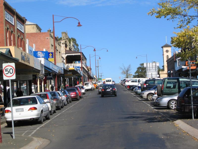
 Commercial centre and shops - Vincent St
 Commercial centre and shops - View south along Vincent St between Central Springs Rd and Albert St
 Commercial centre and shops - View north along Vincent St towards Albert St
 Commercial centre and shops - View south along Vincent St from Albert St
 Commercial centre and shops - View south along Vincent St at Albert St
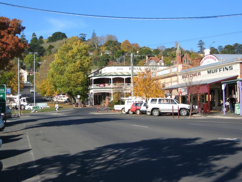
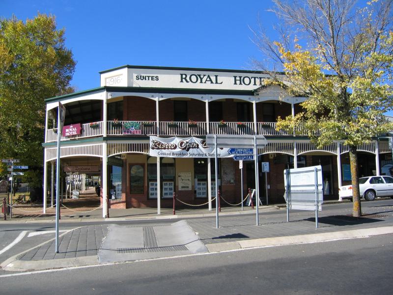 Commercial centre and shops - Royal Hotel, corner Vincent St and Albert St
 Commercial centre and shops - View west along Albert St towards Howe St and Vincent St
 Commercial centre and shops - View west along Albert St at Vincent St and Howe St
 Commercial centre and shops - View east along Albert St at Vincent St and Howe St
 Commercial centre and shops - View east along Albert St towards Vincent St
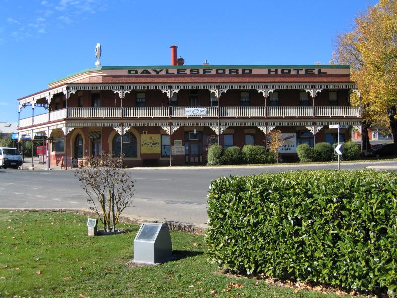 Commercial centre and shops - Daylesford Hotel, corner Albert St and Howe St
 Commercial centre and shops - View south along Vincent St towards Albert St
 Commercial centre and shops - View south-west along Howe St towards Vincent St
 Commercial centre and shops - View south-west along Howe St between Vincent St and Camp St
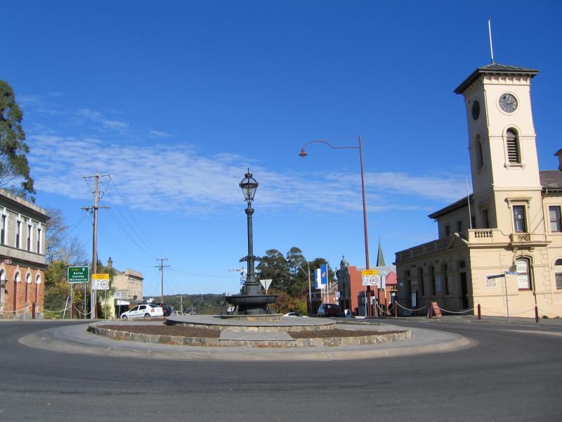
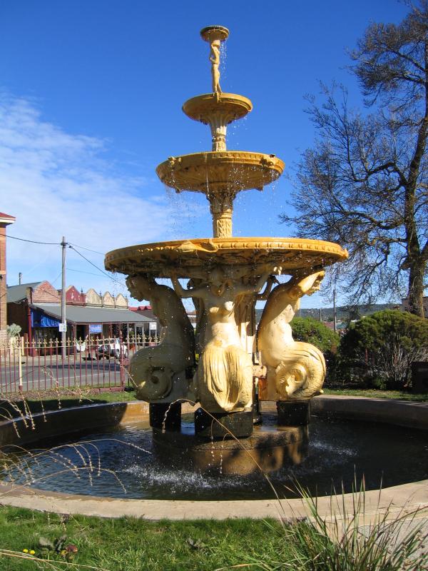 Commercial centre and shops - Fountain, corner Howe St and Raglan St
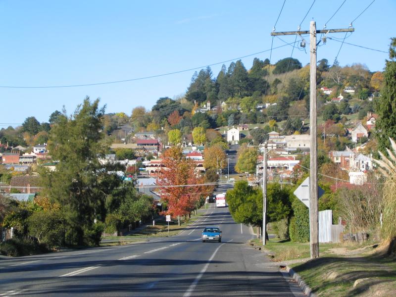
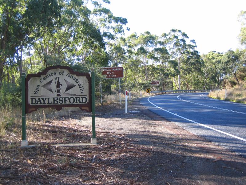 Around town - Welcome to Daylesford sign, north along Midland Highway, west of town
 Around town - View east along Albert St from Perrins St
 Around town - View east along Albert St from Perrins St
 Around town - View east along Albert St from Duke St, towards Court House
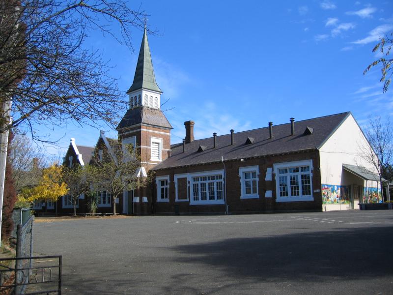 Around town - Primary School, Vincent St
 Around town - Presbyterian Church, view north along Camp St from Central Springs Rd
 Around town - Uniting Church, west along Central Springs Rd from Camp St
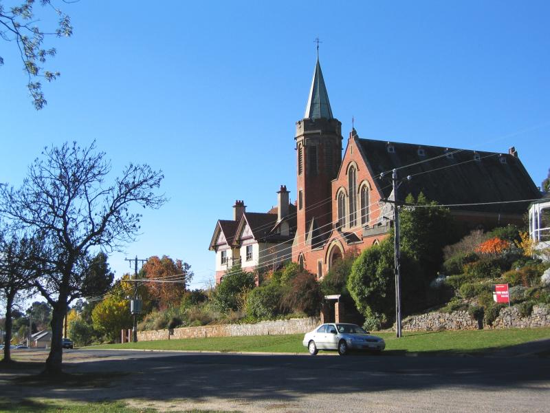
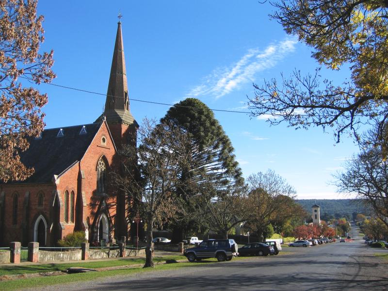
 Around town - Anglican Church, east along Central Springs Rd at Camp St
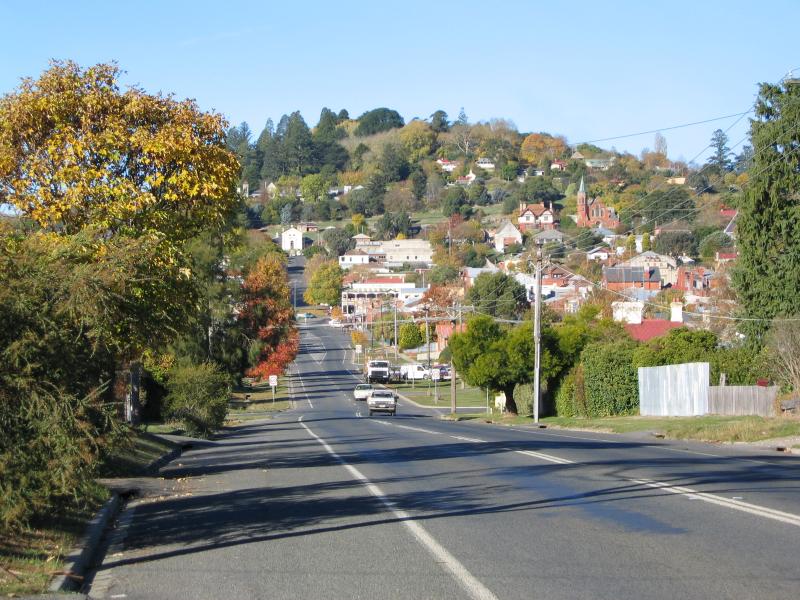
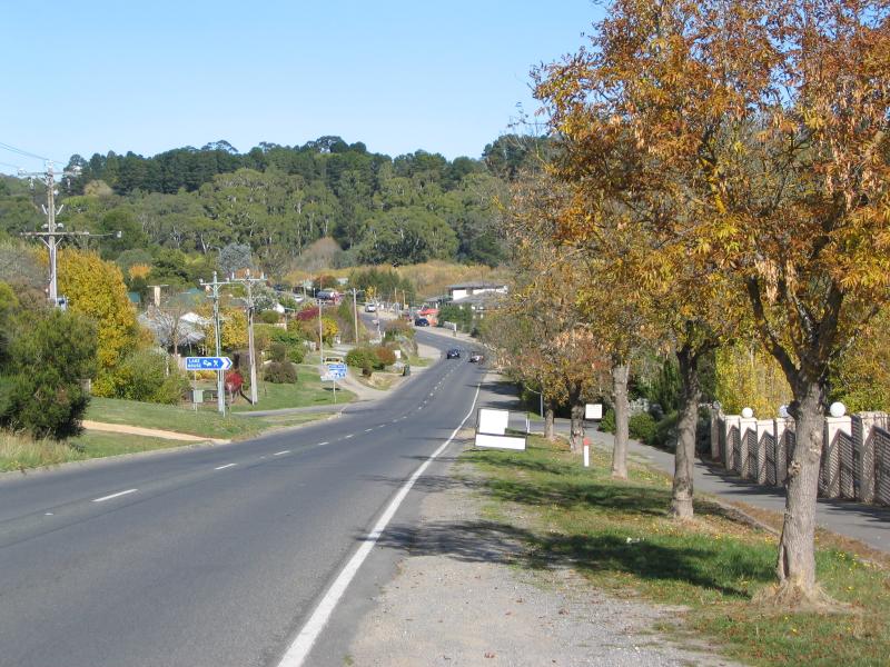
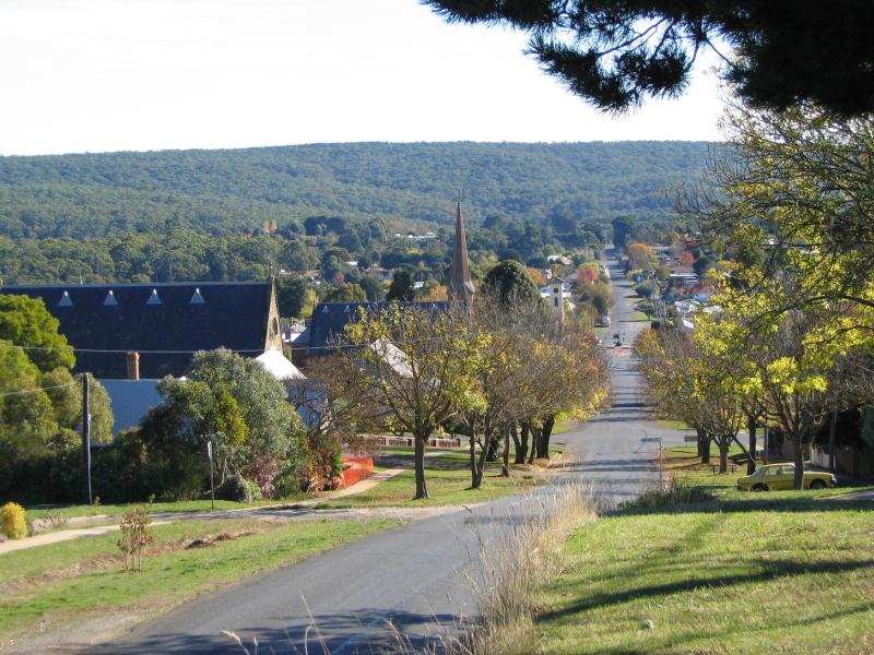 Around town - View west along Central Springs Rd from Daly St
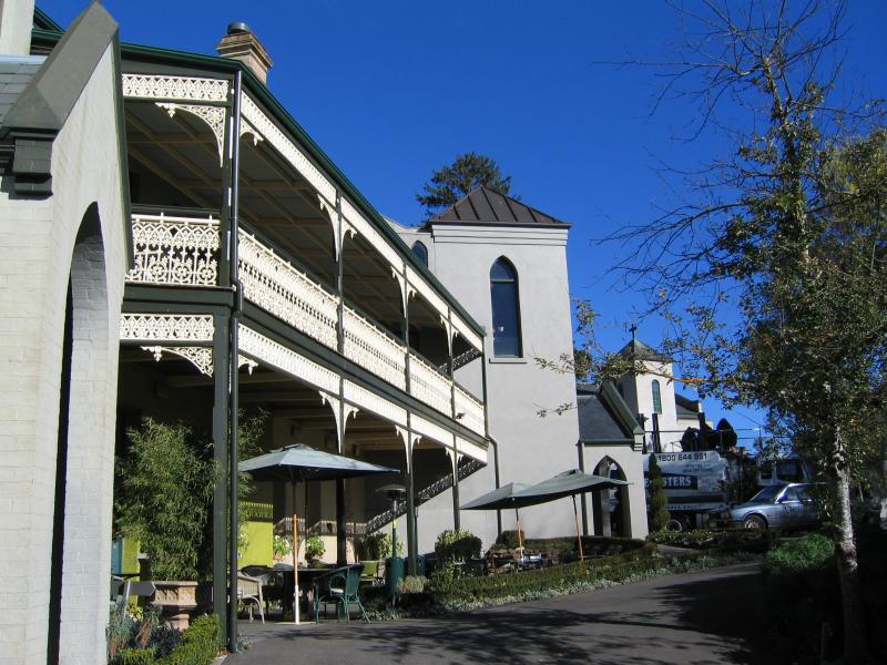 Around town - Convent Gallery
 Around town - Convent Gallery
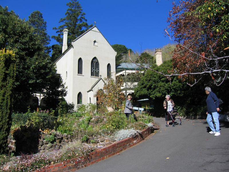
 Around town - Convent Gallery, viewed from Hill St
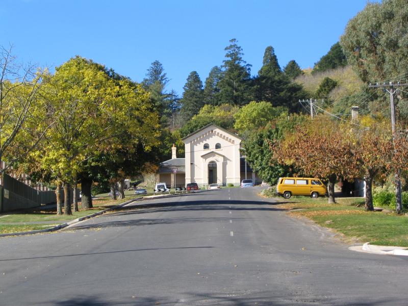
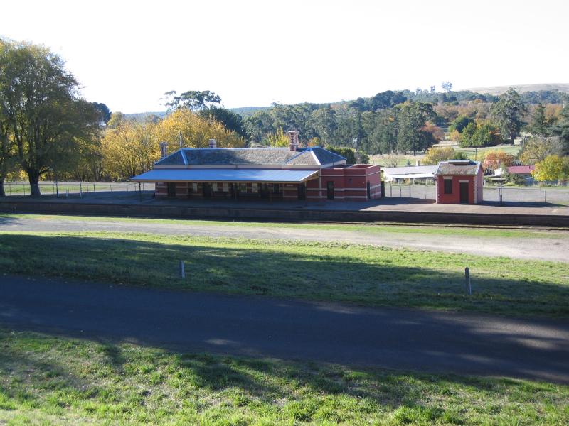 Around town - Railway station, Hill St
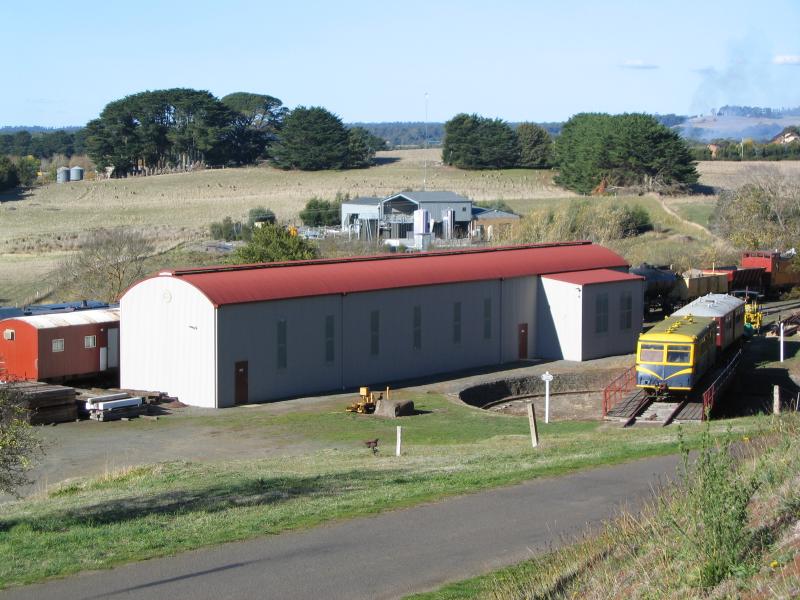 Around town - Railway station, Hill St
 Around town - View south along King St between Bleakley St and Houston St
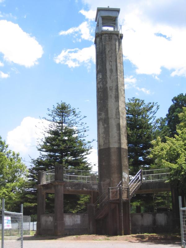 Wombat Hill and Botanical Gardens - Lookout tower
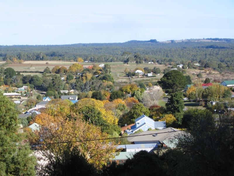
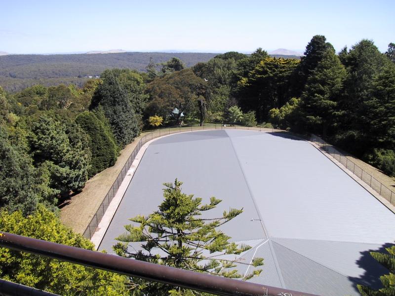 Wombat Hill and Botanical Gardens - View from lookout tower
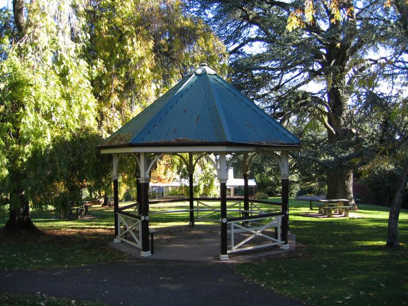 Wombat Hill and Botanical Gardens - Rotunda
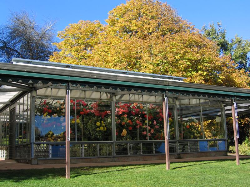 Wombat Hill and Botanical Gardens - Alf Headland Conservatory
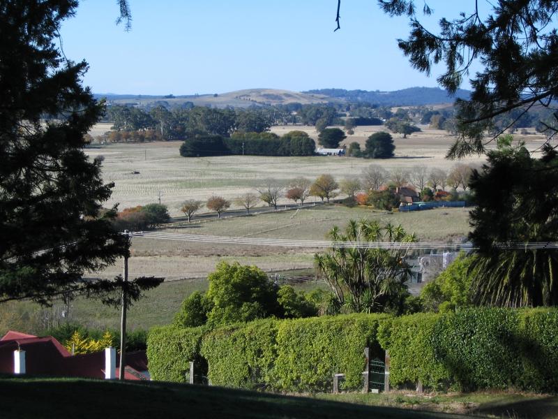
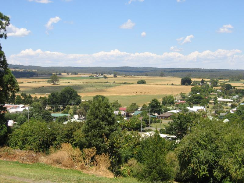 Wombat Hill and Botanical Gardens - View from gardens, towards the south
 Wombat Hill and Botanical Gardens - View from gardens, towards the south
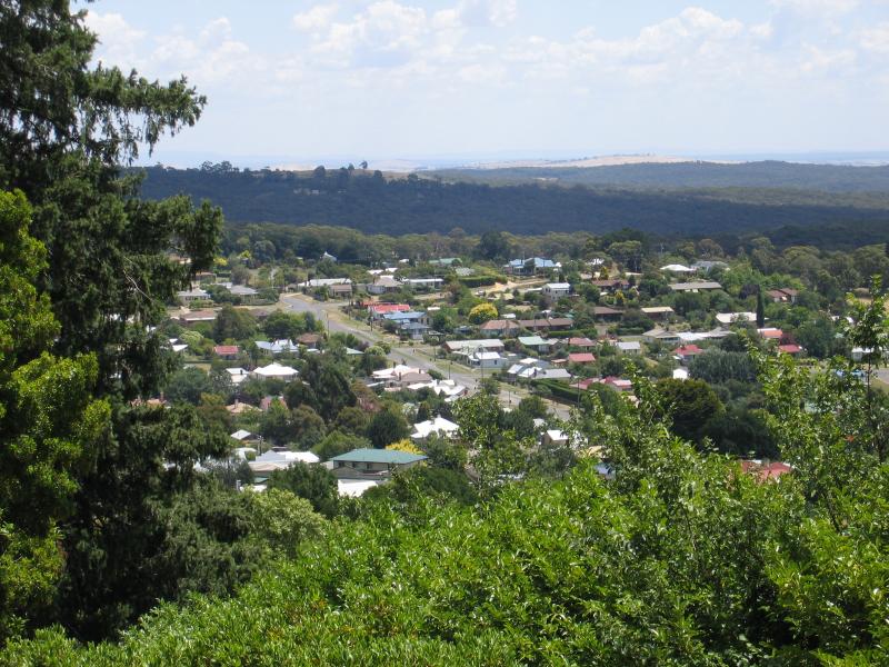
 Wombat Hill and Botanical Gardens - View from gardens, towards the east
 Wombat Hill and Botanical Gardens - View from gardens, towards north-west
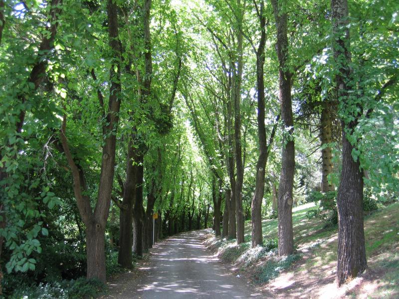 Wombat Hill and Botanical Gardens - Tree-lined road through botanical gardens
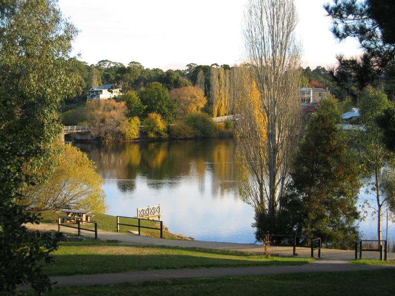
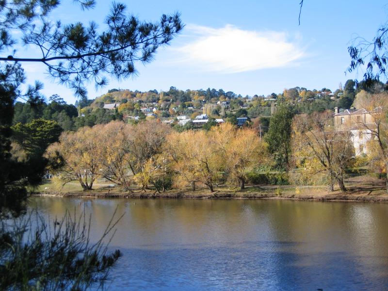
 Lake Daylesford - View south across lake from Ruthven St
 Lake Daylesford - View south across lake towards jetty at Turtle Point
 Lake Daylesford - View east along Bleakley St across lake
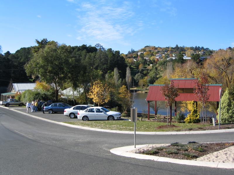 Lake Daylesford - Main car park, corner Bleakely St and Leggatt St
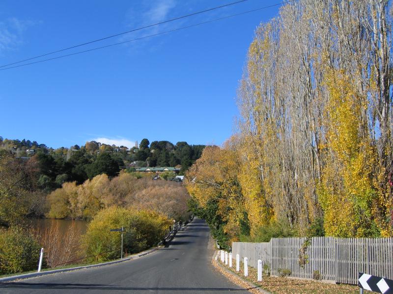
 Lake Daylesford - View south across lake from bridge at Bleakley St
 Lake Daylesford - View east across lake from main car park towards jetty at Turtle Point
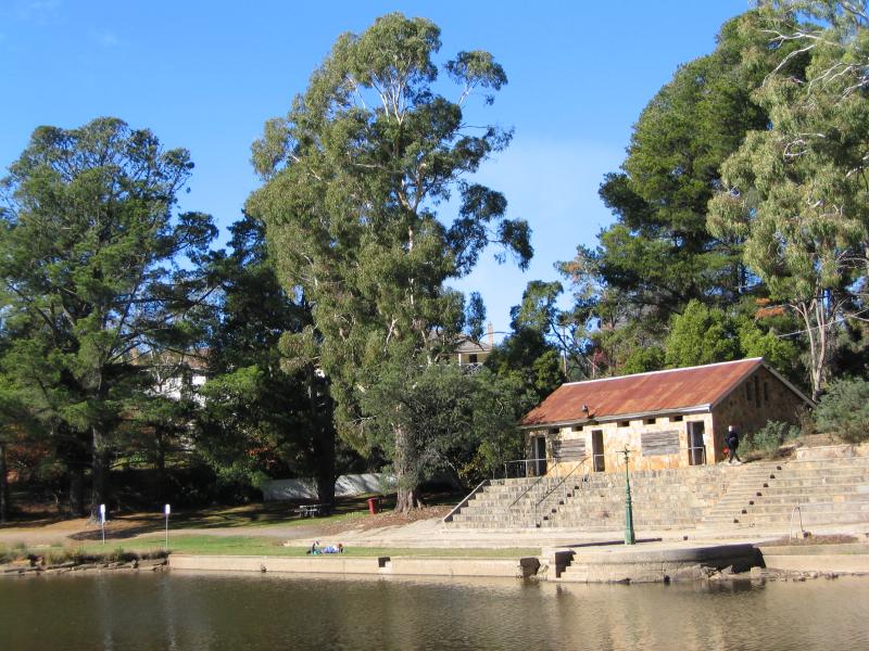
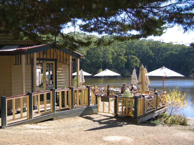 Lake Daylesford - Boathouse Cafe
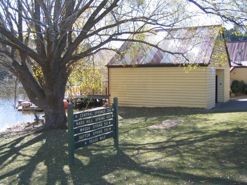 Lake Daylesford - Walking track at boat house
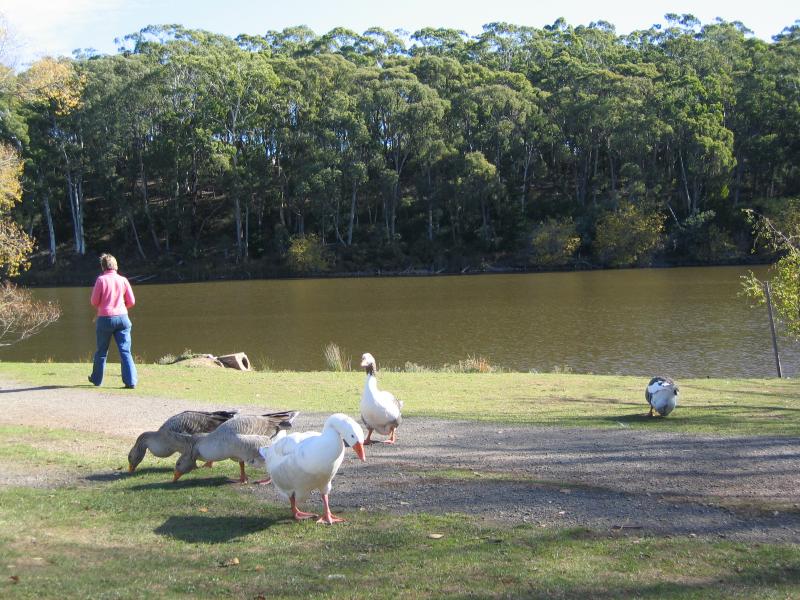 Lake Daylesford - Geese, near boat house
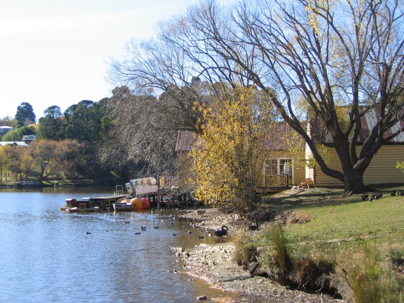 Lake Daylesford - View along lake towards boat house
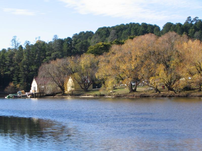 Lake Daylesford - View along lake towards boat house
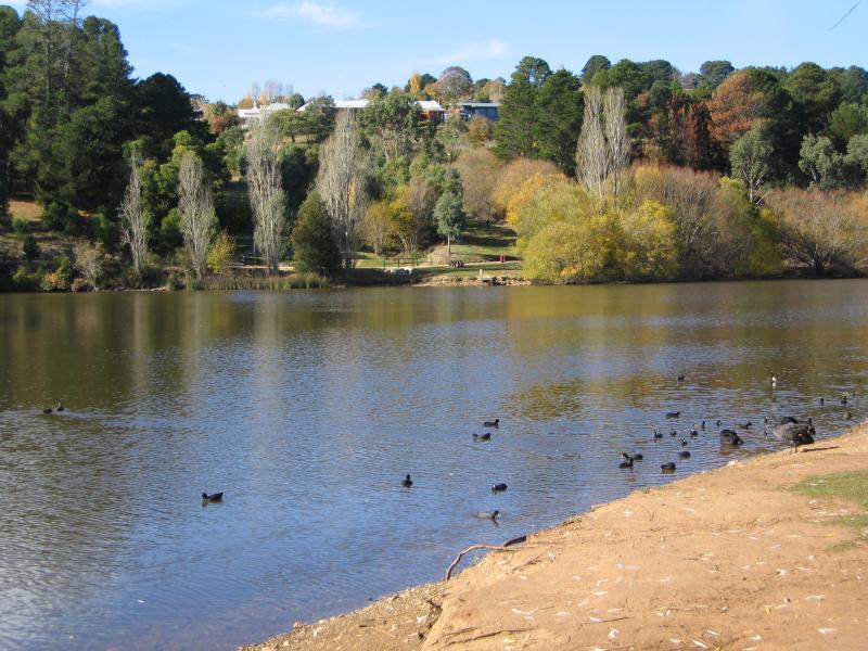
 Lake Daylesford - View east across lake from near mineral springs area
 Lake Daylesford - Lake, near mineral springs area
 Lake Daylesford - View down to mineral springs
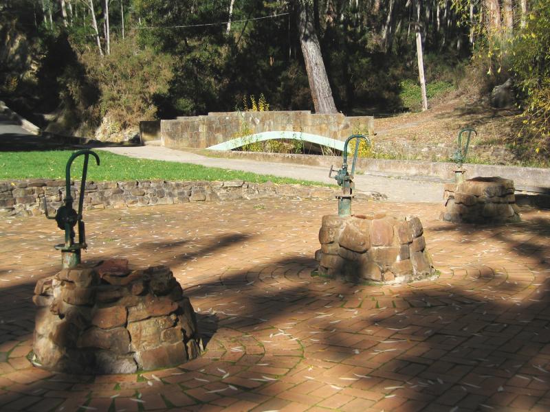 Lake Daylesford - Mineral springs
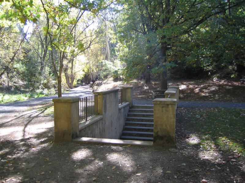 Lake Daylesford - Steps down to a mineral spring
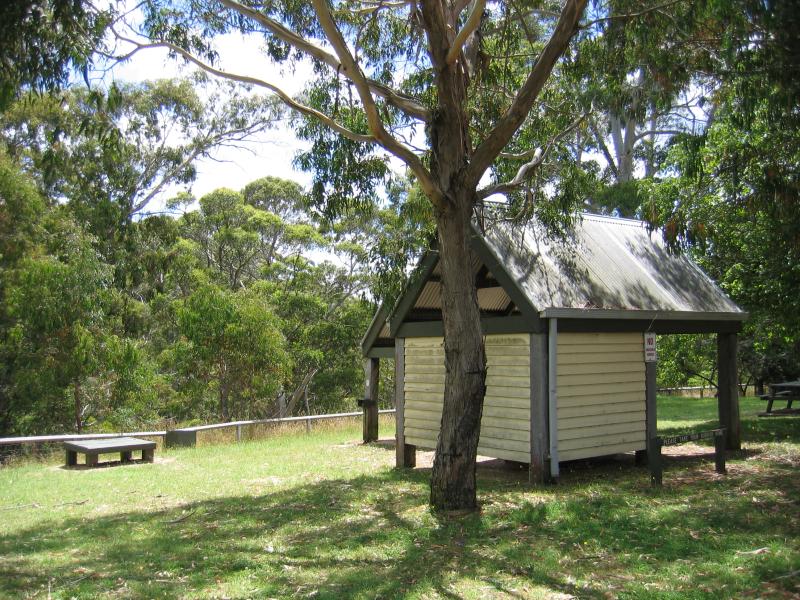 Sailors Falls, 9 kilometres south of Daylesford on Ballan Road - Picnic area at car park
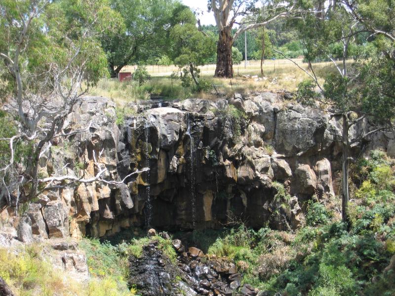 Sailors Falls, 9 kilometres south of Daylesford on Ballan Road - Sailors Falls, viewed from walking track to base of falls