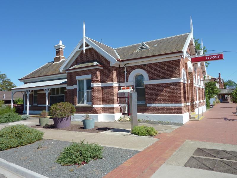
Shops bounded by Lloyd Street, Lochiel Street, Victoria Street and Wimmera Street - Post office, corner Lloyd St and Wimmera St
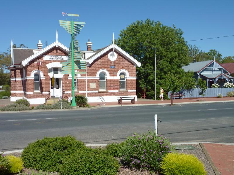
Shops bounded by Lloyd Street, Lochiel Street, Victoria Street and Wimmera Street - Post office and old court house, western side of Lloyd St
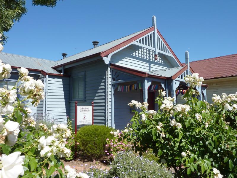
Shops bounded by Lloyd Street, Lochiel Street, Victoria Street and Wimmera Street - Old court house, western side of Lloyd St
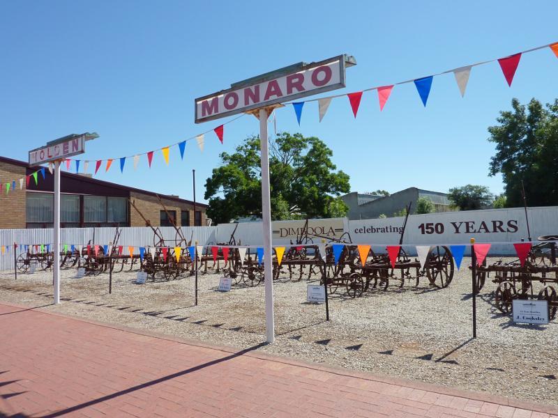
Shops bounded by Lloyd Street, Lochiel Street, Victoria Street and Wimmera Street - Car yard with machinery display, eastern side of Lloyd St
Shops bounded by Lloyd Street, Lochiel Street, Victoria Street and Wimmera Street - View north-west along Lloyd St
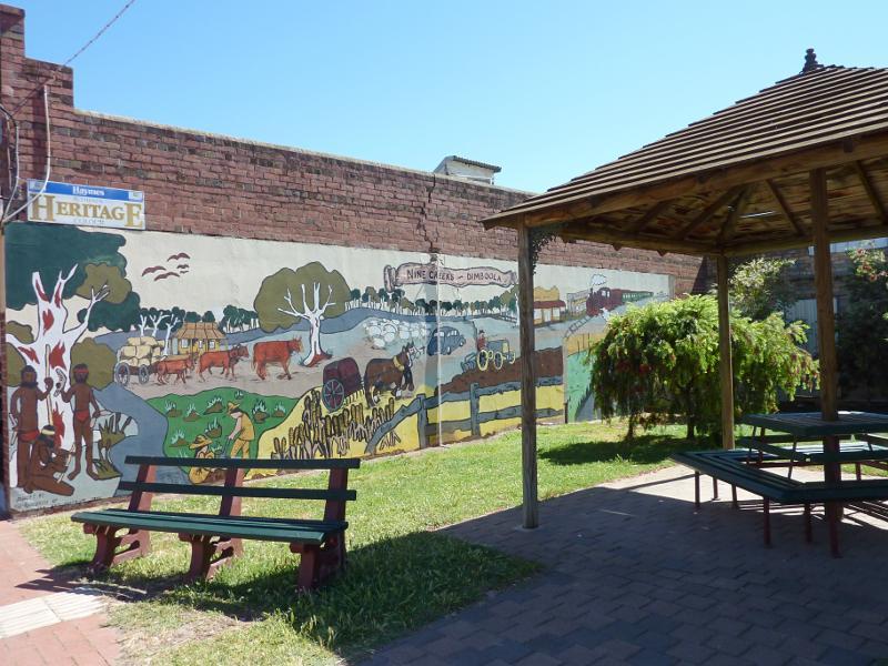
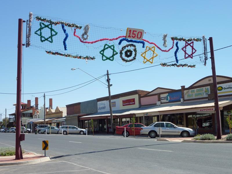
Shops bounded by Lloyd Street, Lochiel Street, Victoria Street and Wimmera Street - Rotunda and Nine Creeks mural between shops on eastern side of Lloyd St
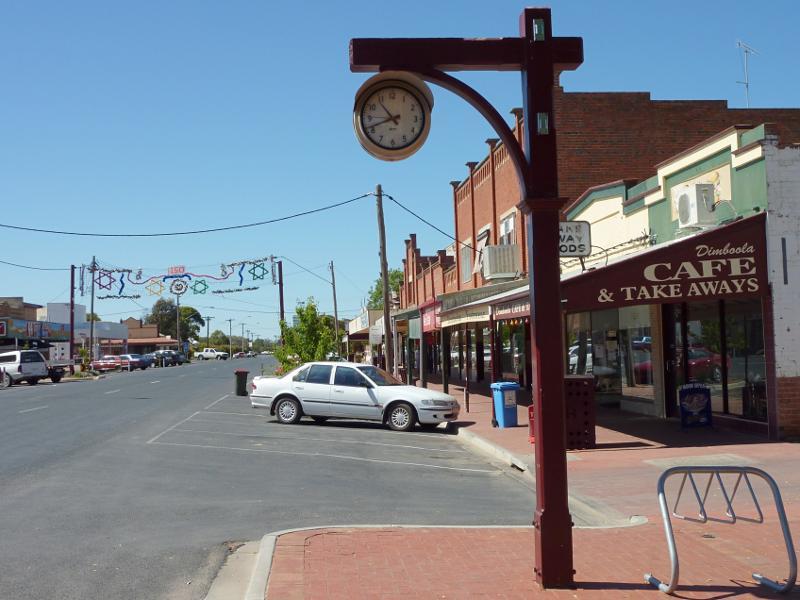
Shops bounded by Lloyd Street, Lochiel Street, Victoria Street and Wimmera Street - Shops along western side of Lloyd St
Shops bounded by Lloyd Street, Lochiel Street, Victoria Street and Wimmera Street - Shops along western side of Lloyd St
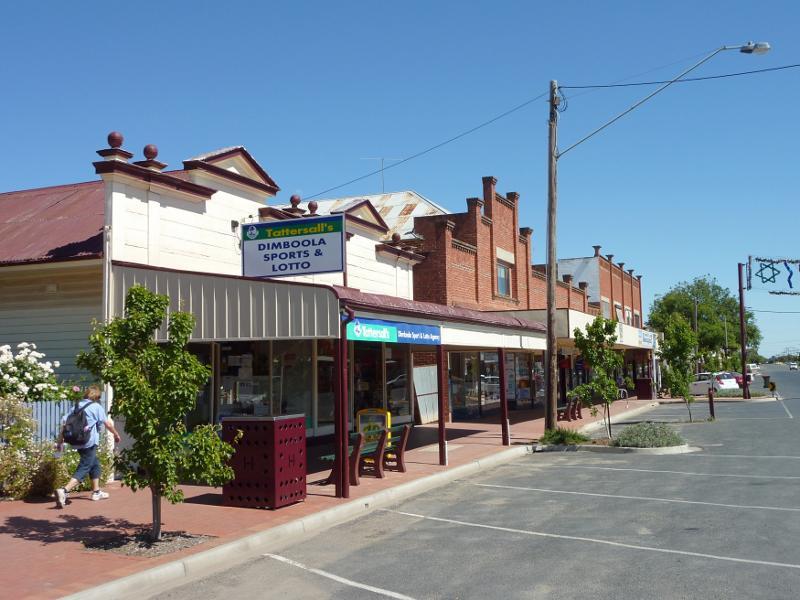
Shops bounded by Lloyd Street, Lochiel Street, Victoria Street and Wimmera Street - View north-west along Lloyd St
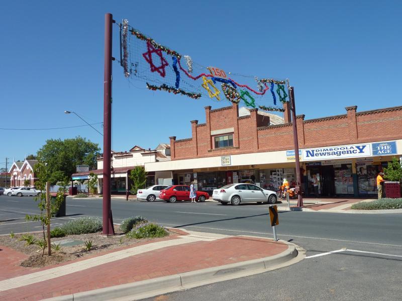
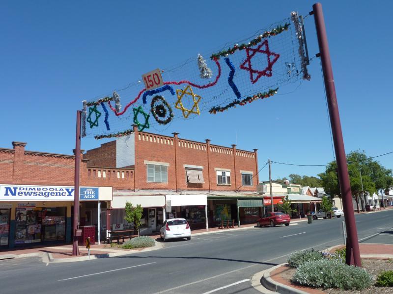
Shops bounded by Lloyd Street, Lochiel Street, Victoria Street and Wimmera Street - View south-east along Lloyd St
Shops bounded by Lloyd Street, Lochiel Street, Victoria Street and Wimmera Street - Old shire hall, western side of Lloyd St
Shops bounded by Lloyd Street, Lochiel Street, Victoria Street and Wimmera Street - View north-west along Lloyd St towards Lochiel St
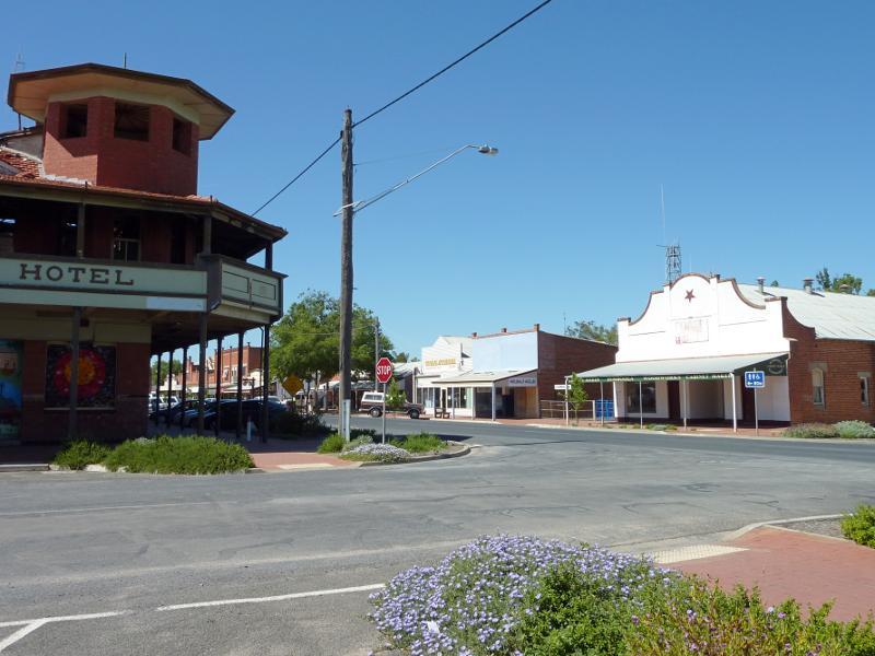
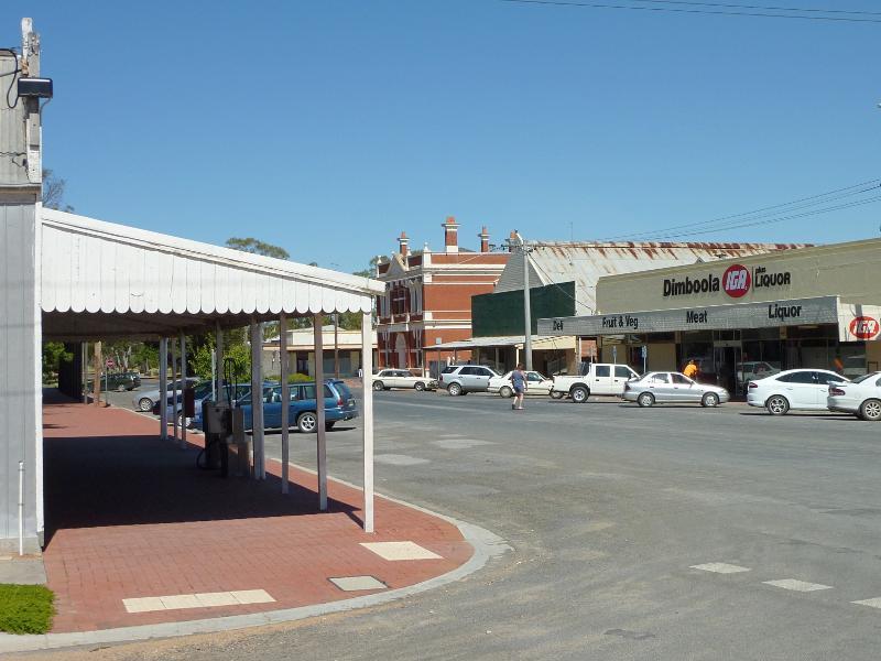
Shops bounded by Lloyd Street, Lochiel Street, Victoria Street and Wimmera Street - View south-east along Lloyd St at Lochiel St towards Dimboola Hotel
Shops bounded by Lloyd Street, Lochiel Street, Victoria Street and Wimmera Street - View north-west along Lloyd St at Lochiel St towards old National Bank
Shops bounded by Lloyd Street, Lochiel Street, Victoria Street and Wimmera Street - View south-west along Lochiel St at Victoria St
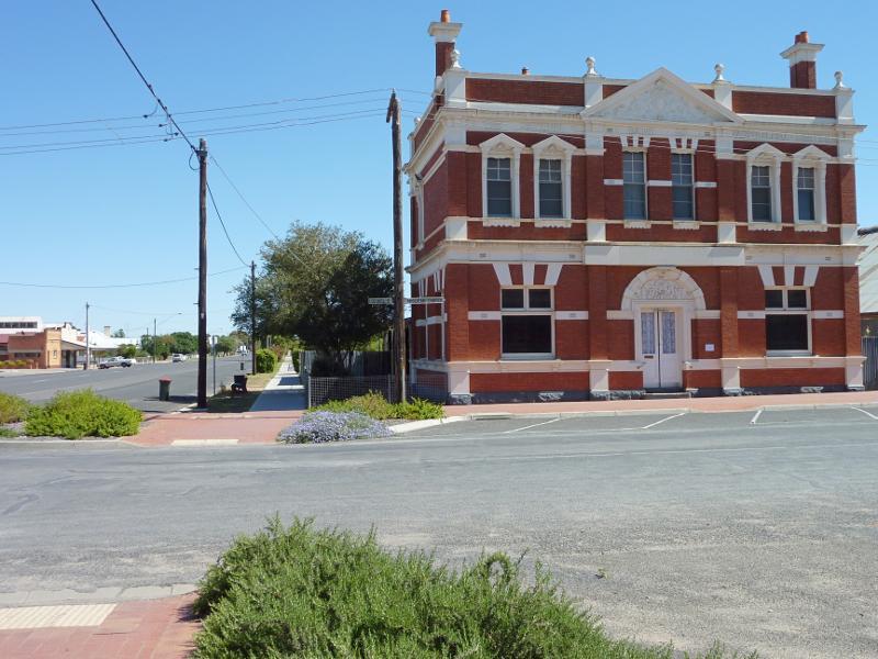
Shops bounded by Lloyd Street, Lochiel Street, Victoria Street and Wimmera Street - Commonwealth Bank, corner Lochiel St and Victoria St
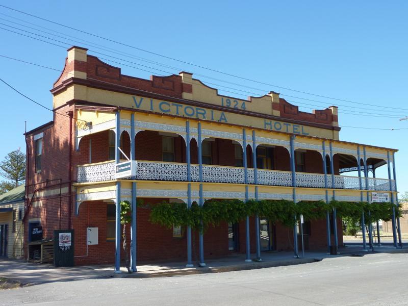
Shops bounded by Lloyd Street, Lochiel Street, Victoria Street and Wimmera Street - Victoria Hotel, corner Wimmera St and Victoria St
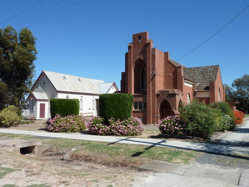
Churches - Uniting Church, corner Normanby St and Acacia St
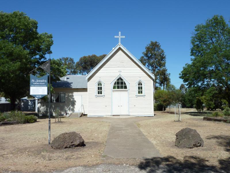
Churches - St Joseph's Catholic Church, corner Normanby St and Hindmarsh St
Churches - St Peter's Anglican Church, corner Lochiel St and Church St
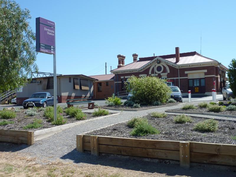
Railway station, Hindmarsh Street - Station viewed from Hindmarsh St
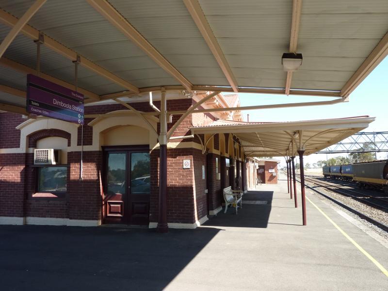
Railway station, Hindmarsh Street - View north-west along station platform
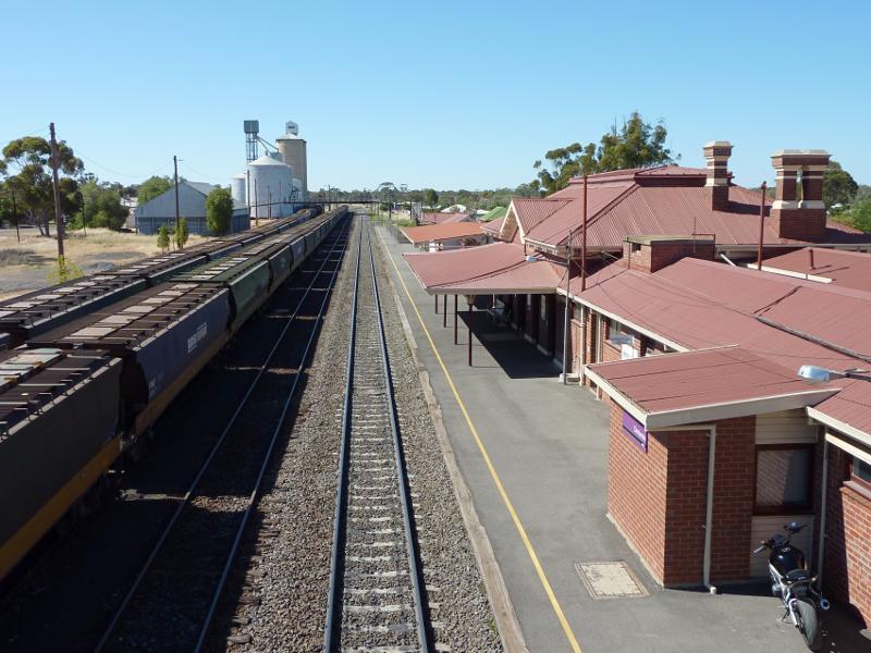
Railway station, Hindmarsh Street - View south-east towards station and along platform from footbridge
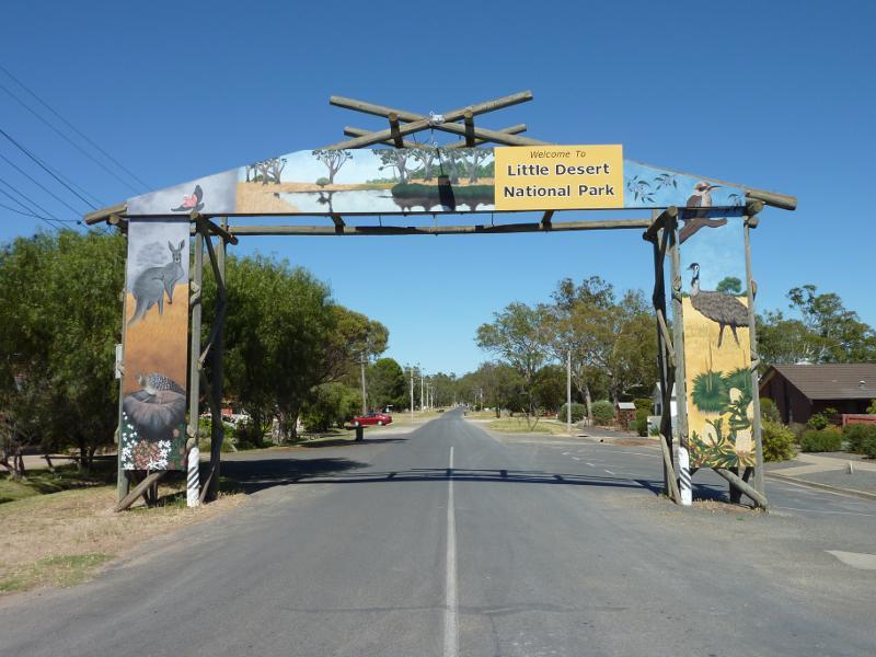
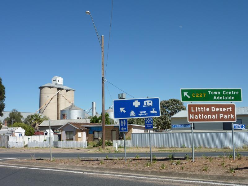
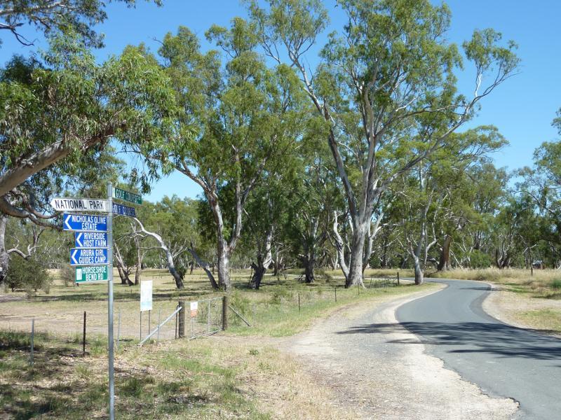
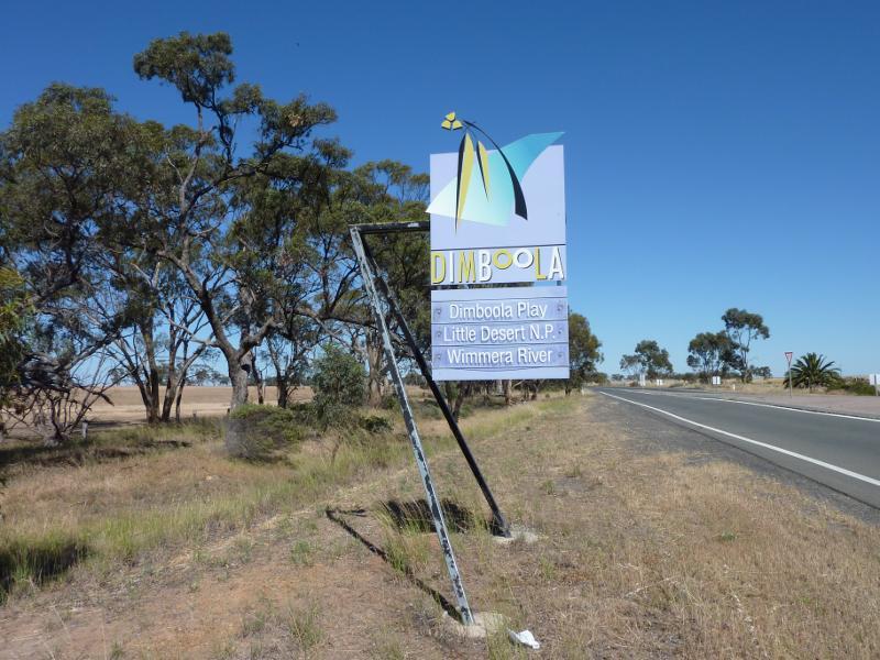
Around Dimboola - Welcome to Little Desert National Park sign, view south-west along Wimmera St at Lloyd St
Around Dimboola - View north-west across High St at Ellerman St
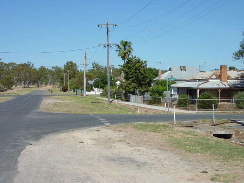
Around Dimboola - View south-west along Normanby St at Acacia St
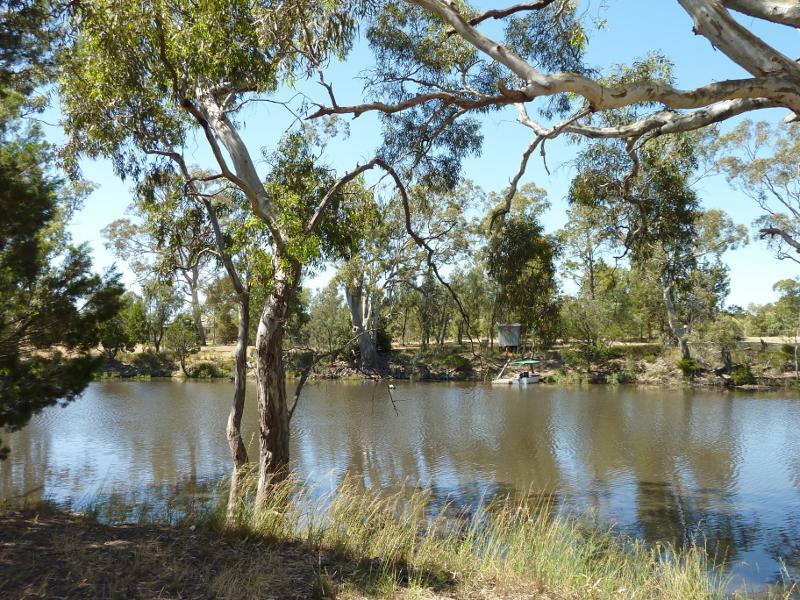
Wimmera River at boat ramp, southern end of Lloyd Street - Boat ramp
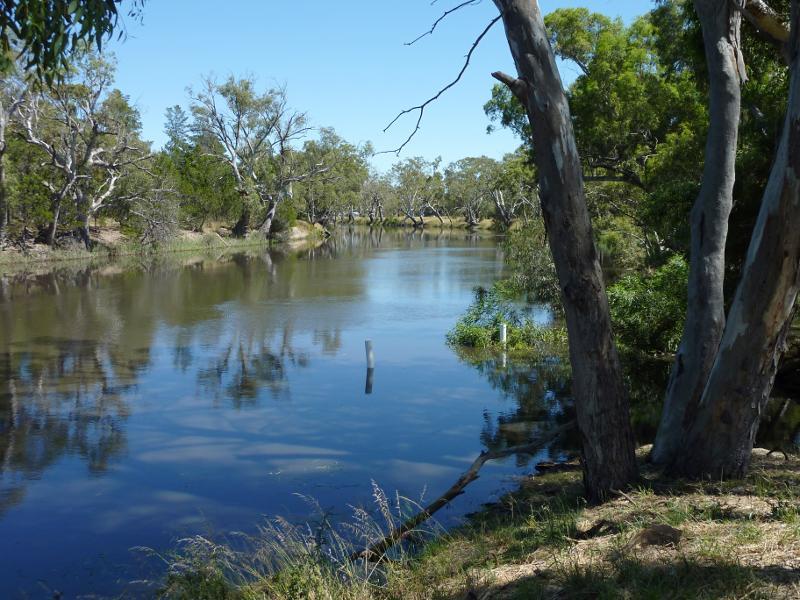
Wimmera River at boat ramp, southern end of Lloyd Street - View north-west along river
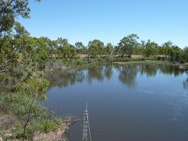
Wimmera River at boat ramp, southern end of Lloyd Street - View across river
Wimmera River at boat ramp, southern end of Lloyd Street - View south across river
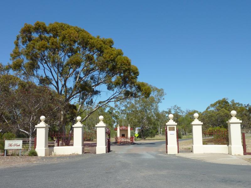
Dimboola Recreation Reserve, Lloyd Street - Entrance, Lloyd St
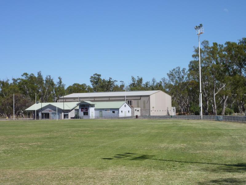
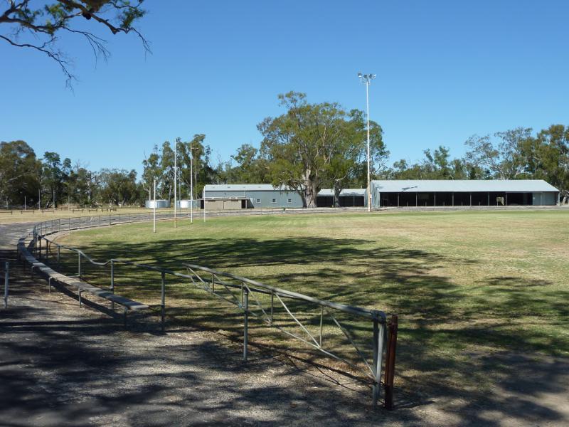
Dimboola Recreation Reserve, Lloyd Street - View across oval towards pavillion
Dimboola Recreation Reserve, Lloyd Street - View along side of oval
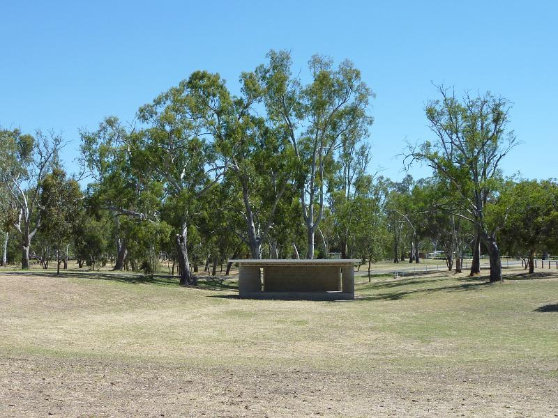
Dimboola Recreation Reserve, Lloyd Street - Sound shell
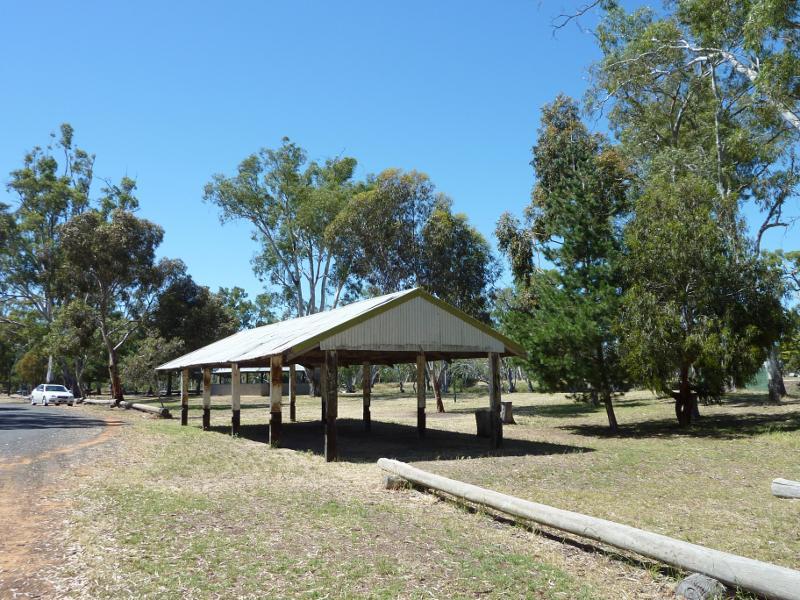
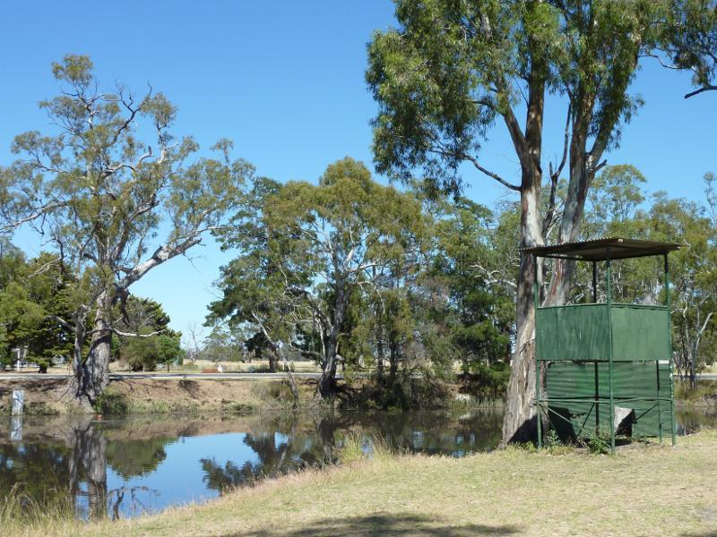
Dimboola Recreation Reserve, Lloyd Street - Shelter along Wimmera River
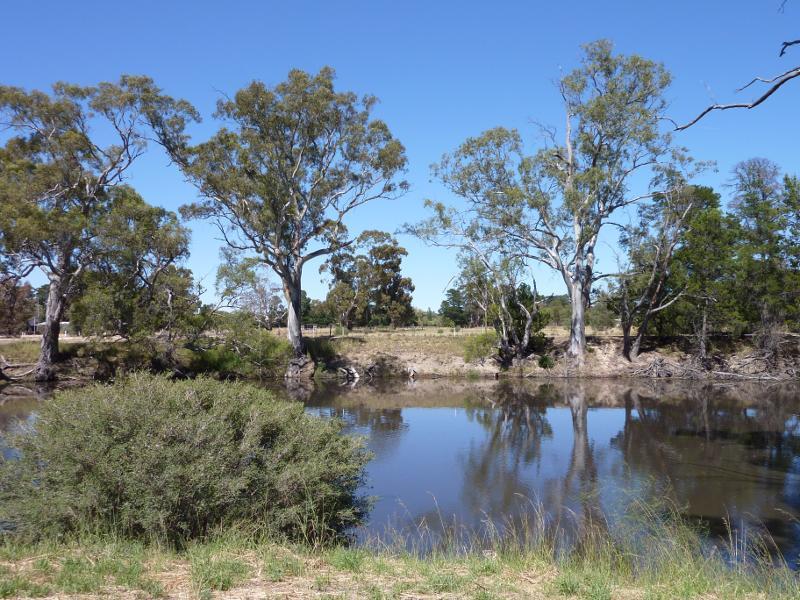
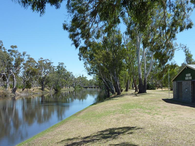
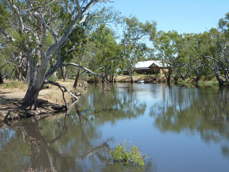
Dimboola Recreation Reserve, Lloyd Street - View north along Wimmera River at Dimboola Rowing Club
Dimboola Recreation Reserve, Lloyd Street - View across Wimmera River
Dimboola Recreation Reserve, Lloyd Street - View across Wimmera River
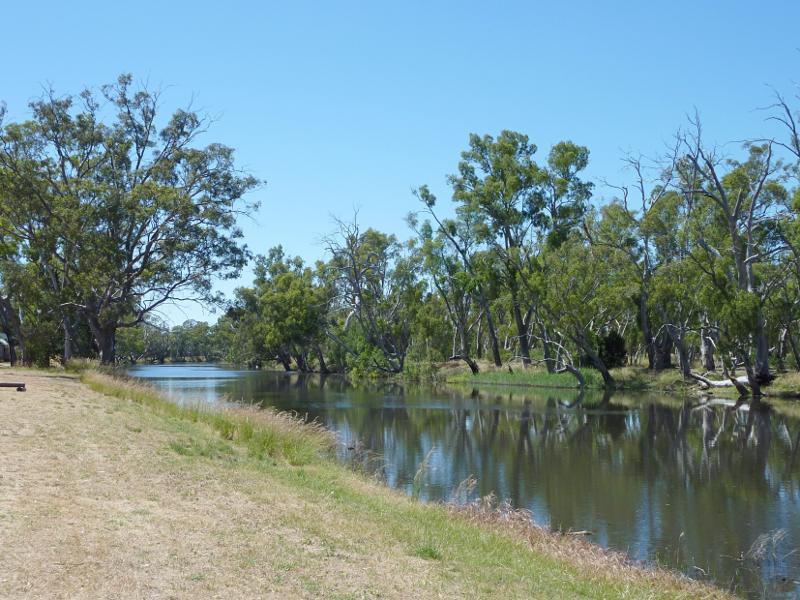
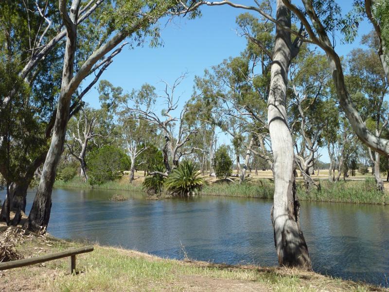
Dimboola Recreation Reserve, Lloyd Street - View south-east along Wimmera River
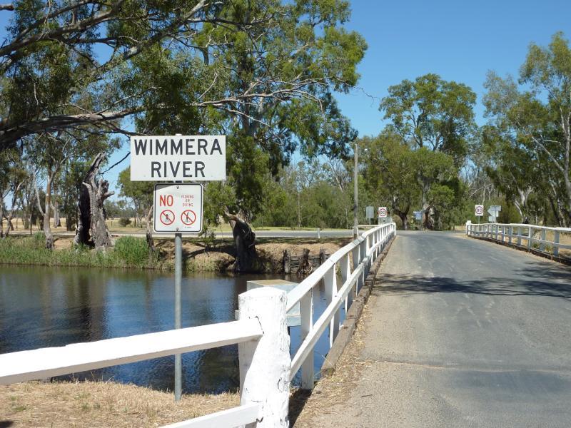
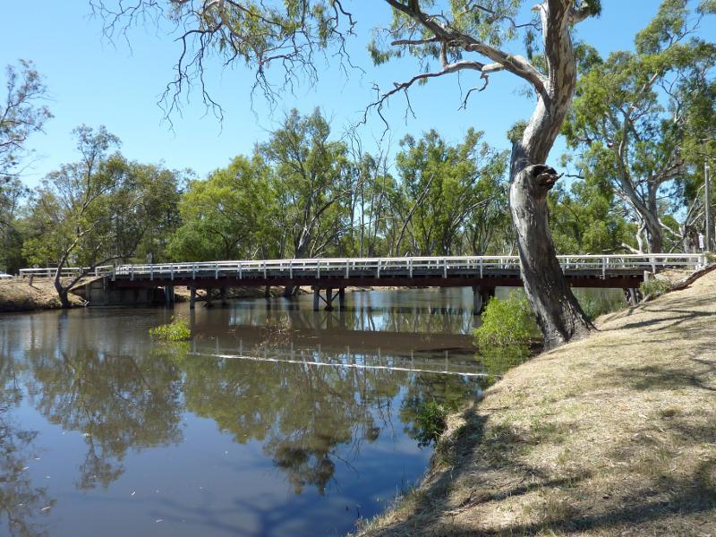
Wimmera River at Wimmera Street bridge - View south-west along Wimmera St towards bridge over river
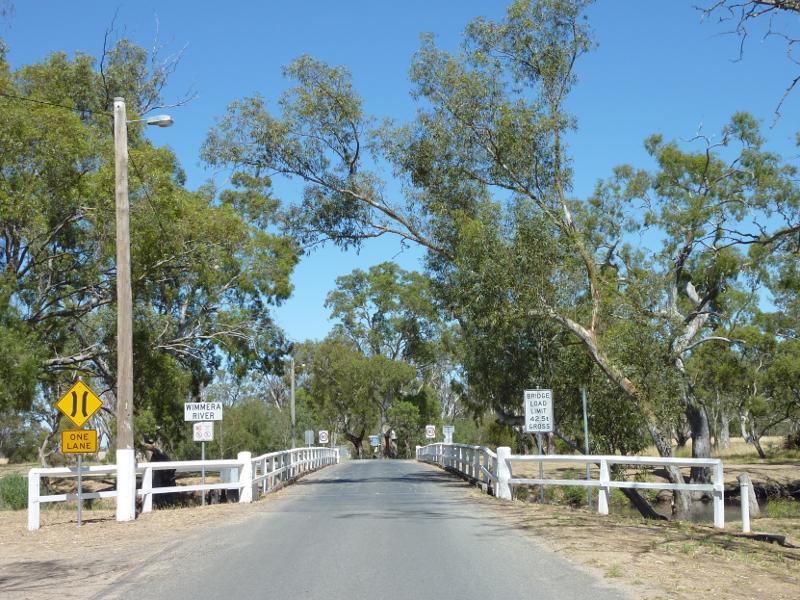
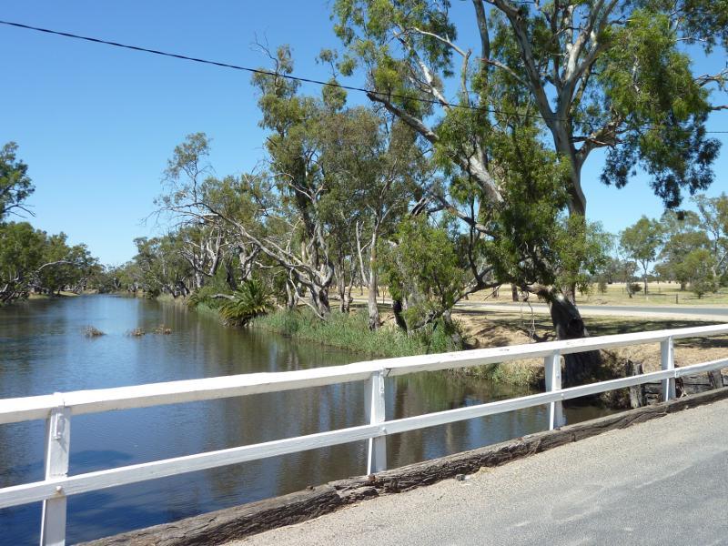
Wimmera River at Wimmera Street bridge - View south-west along bridge over river
Wimmera River at Wimmera Street bridge - View west across river
Wimmera River at Wimmera Street bridge - View south along river from bridge
Wimmera River at Wimmera Street bridge - View south along river and Horseshoe Bend Rd from bridge
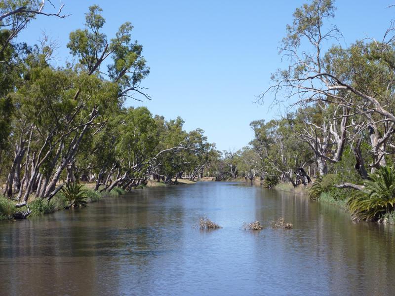
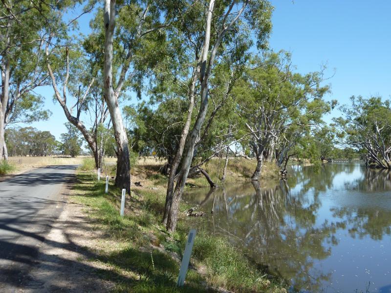
Wimmera River at Wimmera Street bridge - View north-west along river from bridge
Wimmera River at Wimmera Street bridge - View south-east along river towards bridge
Golf Course Road along Wimmera River - View north-west along Golf Course Rd at Wimmera St
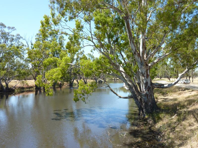
Golf Course Road along Wimmera River - View north-west along Golf Course Rd and river towards weir
Golf Course Road along Wimmera River - View south-east along river
Golf Course Road along Wimmera River - View north-east across river at turn-off to weir
Golf Course Road along Wimmera River - Windmill, south-westerly view at turn-off to weir
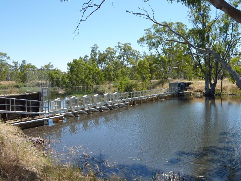
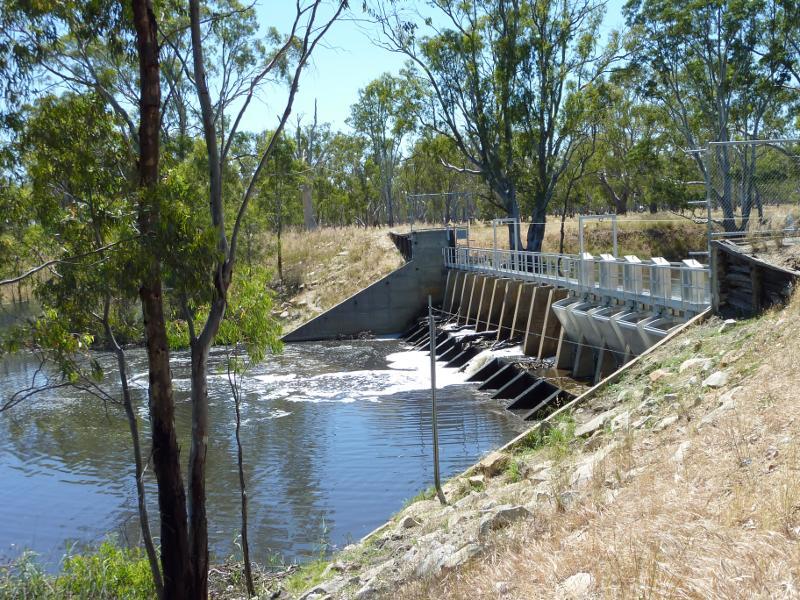
Weir on Wimmera River, off Golf Course Road - View north-west along river towards weir
Weir on Wimmera River, off Golf Course Road - View across weir
Weir on Wimmera River, off Golf Course Road - View south-east along river
Weir on Wimmera River, off Golf Course Road - View north-west along river from weir
Weir on Wimmera River, off Golf Course Road - View of fields on west side of weir
Western Highway, south-east of Dimboola - Dimboola town sign, view west along Horsham Rd at Western Hwy
Western Highway, south-east of Dimboola - View north-west along Western Hwy approaching Horsham Rd
Western Highway, south-east of Dimboola - View north-west along Western Hwy, 5 kilometres from Dimboola
Western Highway, north-west of Dimboola - Dimboola town sign, view south-west along Nhill Rd near Western Hwy
Western Highway, north-west of Dimboola - Southerly view, Nhill Rd near Western Hwy
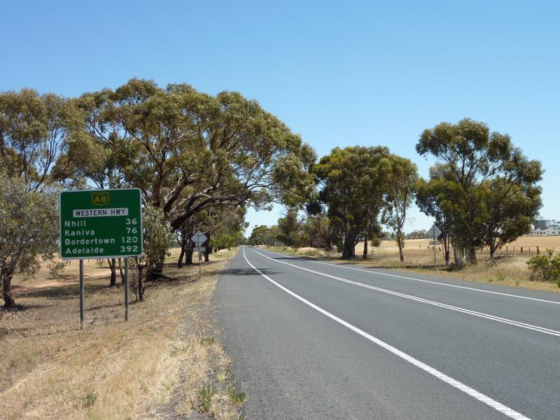
Western Highway, north-west of Dimboola - View north-west along Western Hwy, just north of Nhill Rd
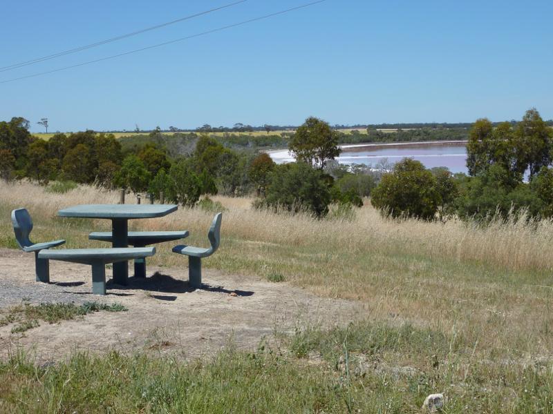
Pink Lake, Western Highway north-west of Dimboola - Table beside lake at car park
Pink Lake, Western Highway north-west of Dimboola - View from car park towards northern end of lake
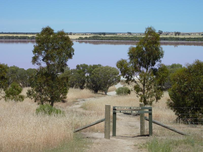
Pink Lake, Western Highway north-west of Dimboola - Walking track from car park to lake
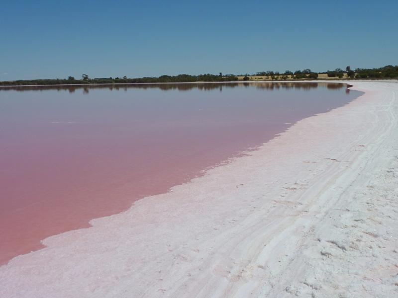
Pink Lake, Western Highway north-west of Dimboola - View north-west along edge of lake