Commercial centre and shops, Main Street - Shops fronting lawn and car park
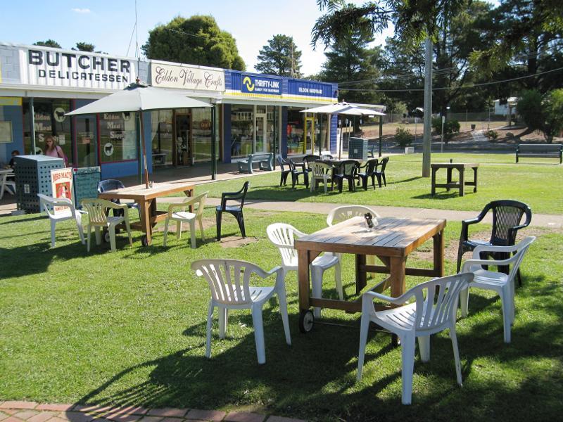
Commercial centre and shops, Main Street - Outdoor seating in front of shops
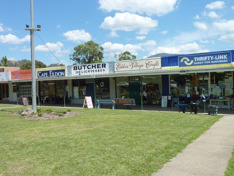
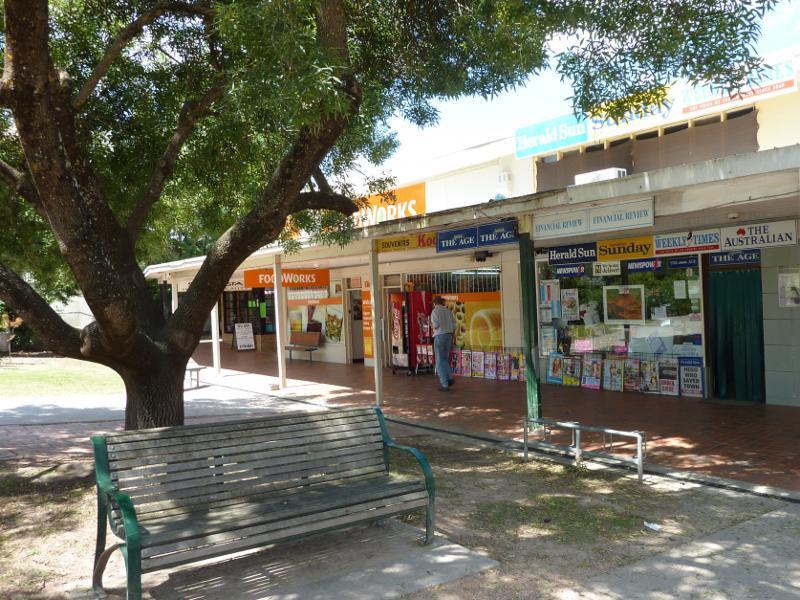
Commercial centre and shops, Main Street - Shops
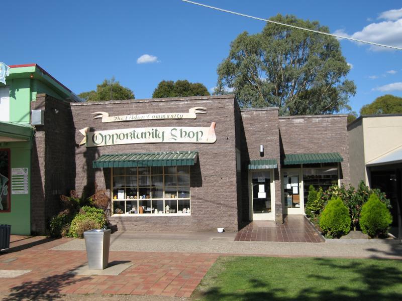
Commercial centre and shops, Main Street - Eildon Community Opportunity Shop
Commercial centre and shops, Main Street - Shops
Commercial centre and shops, Main Street - Newsagent and supermarket
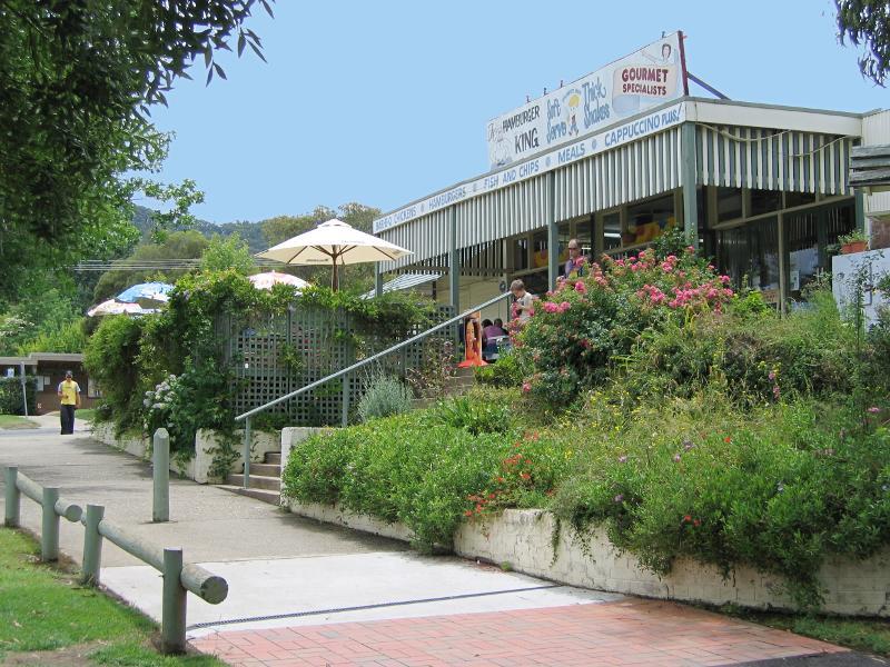
Commercial centre and shops, Main Street - Cafe
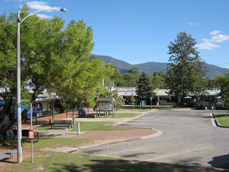
Commercial centre and shops, Main Street - View south-west across lawns and car park in front of shops
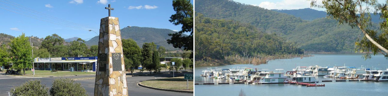
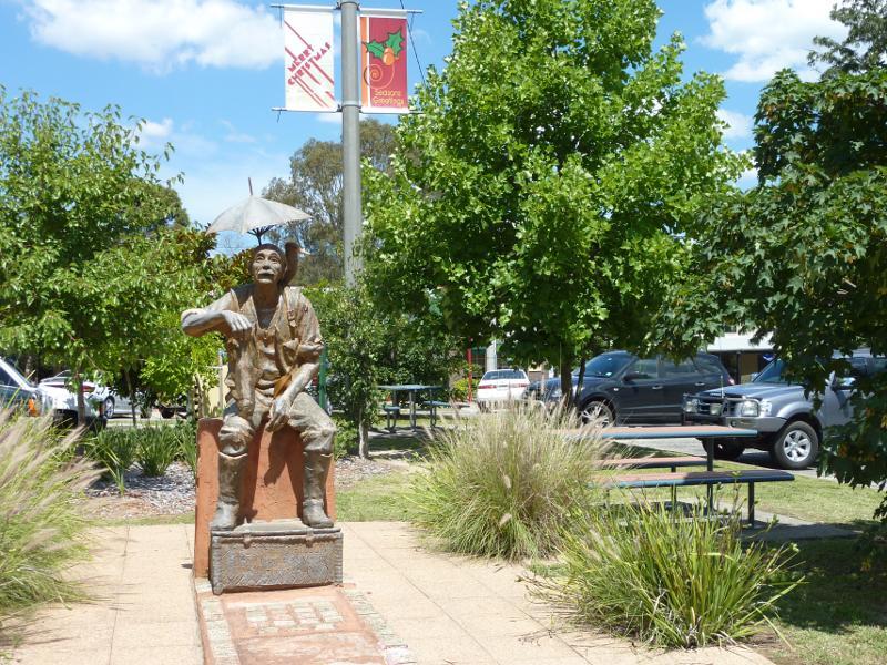
Commercial centre and shops, Main Street - The Earl of Eildon statue fronting Main St
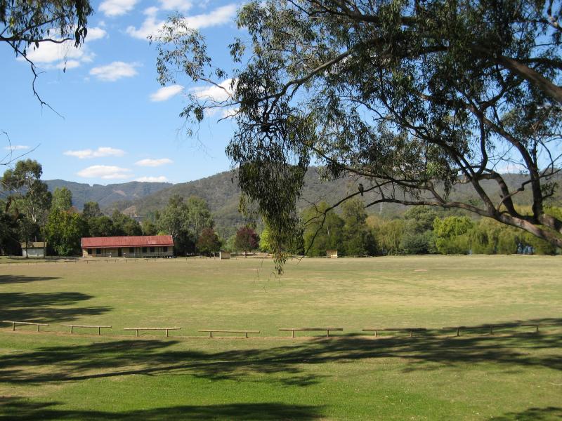
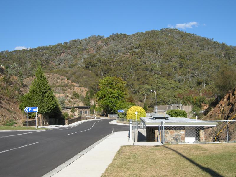
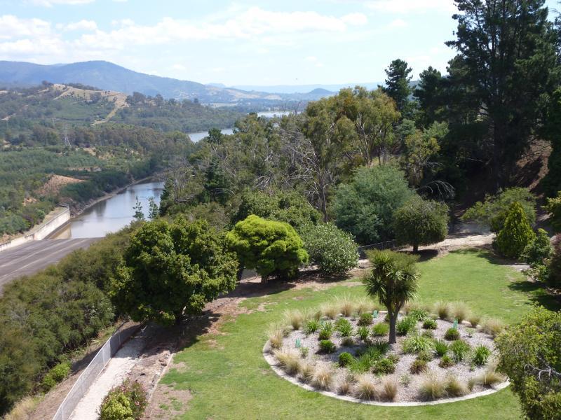
Commercial centre and shops, Main Street - View northwards across Main St towards W.J. Moore Park
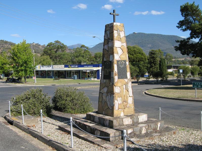
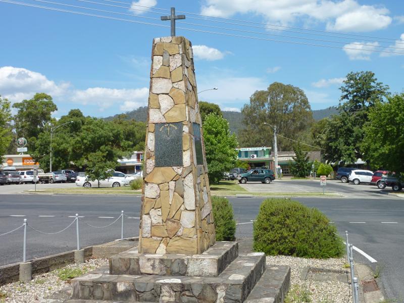
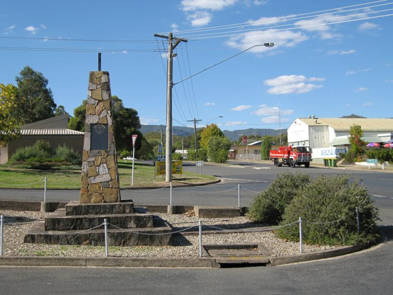
Commercial centre and shops, Main Street - View south towards shops from war memorial, corner Main St and Utah Pl
Commercial centre and shops, Main Street - View south-east along Utah Pl towards shops at Main St
Commercial centre and shops, Main Street - View north-east along Main St at Utah Pl
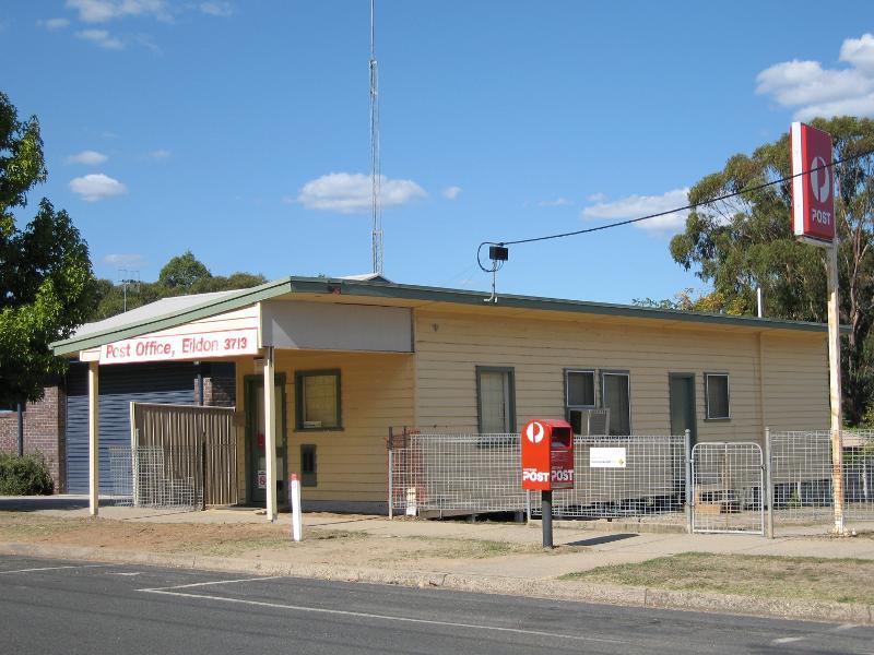
Commercial centre and shops, Main Street - Eildon post office, Main St between Utah Pl and Hillside Av
Commercial centre and shops, Main Street - W.J. Moore Park, fronting Main St
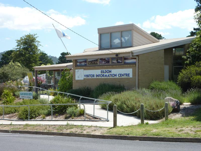
Commercial centre and shops, Main Street - Eildon Visitor Information Centre, corner Main St and Utah Pl
Lions Riverside Park along Goulburn River at Riverside Drive - Golden Trout Hotel viewed from Riverside Dr opposite Centre Av
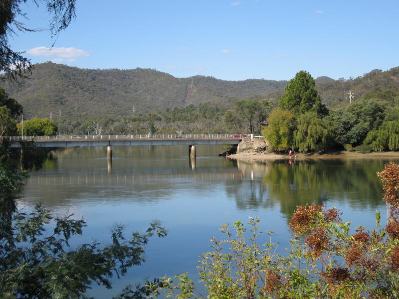
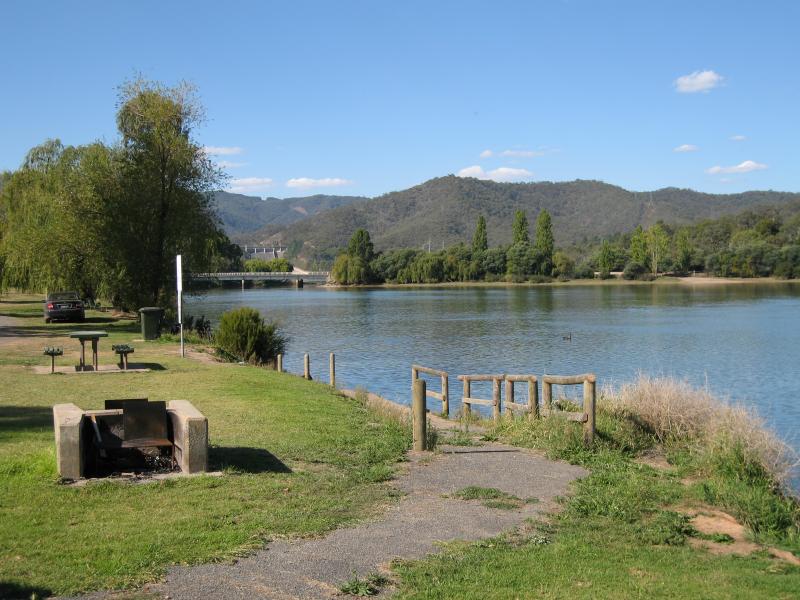
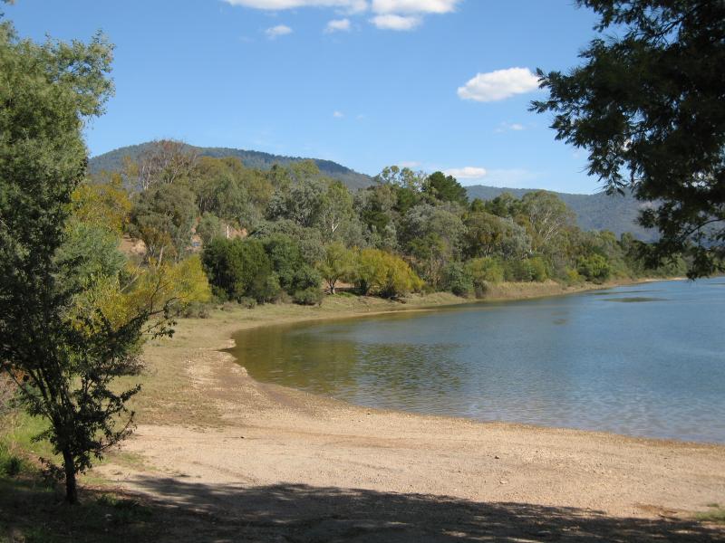
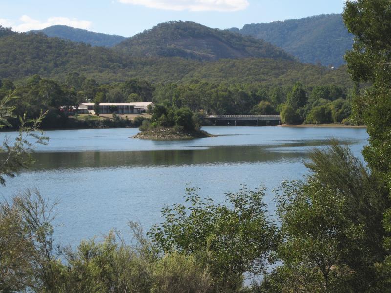
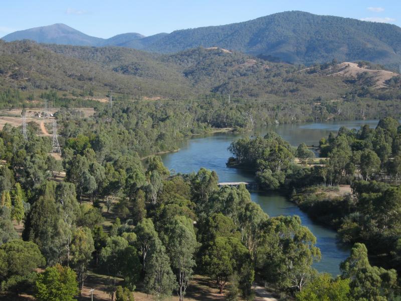
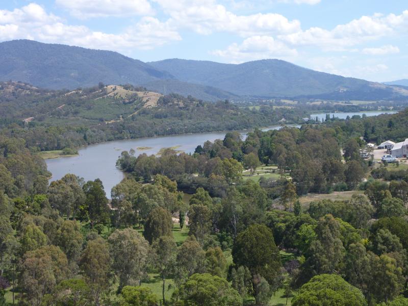
Lions Riverside Park along Goulburn River at Riverside Drive - View north-east along river towards bridge at Goulburn Valley Hwy
Lions Riverside Park along Goulburn River at Riverside Drive - View north-east along river towards bridge and weir at spillway
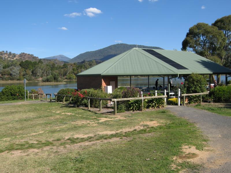
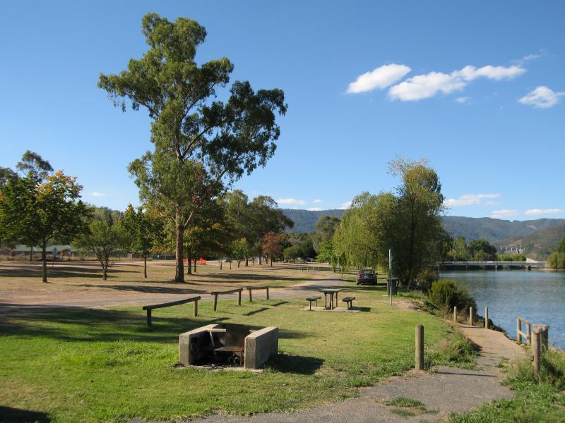
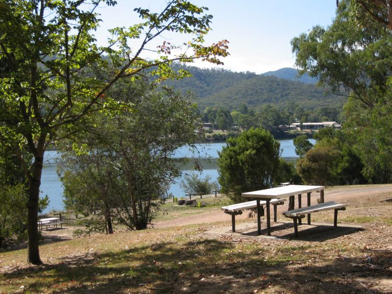
Lions Riverside Park along Goulburn River at Riverside Drive - Picnic shelter fronting river
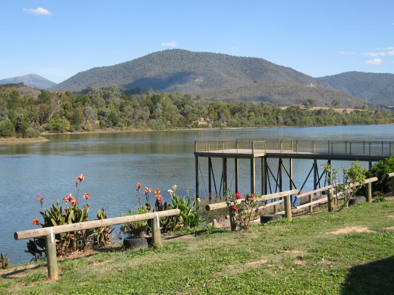
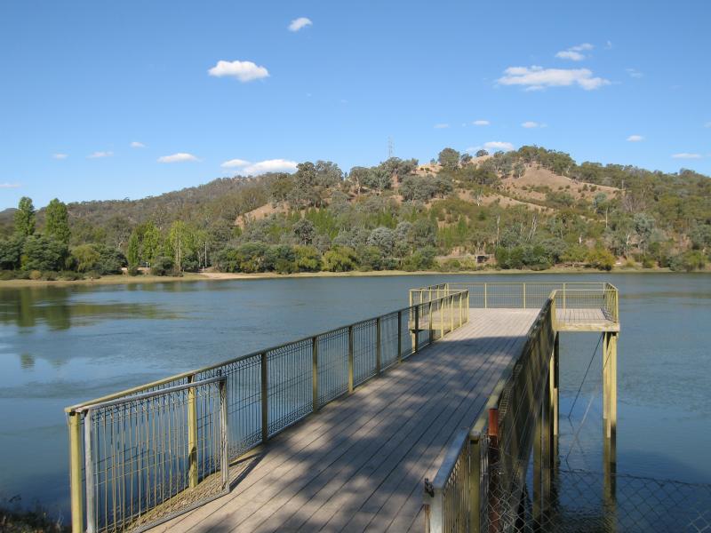
Lions Riverside Park along Goulburn River at Riverside Drive - View south-west along river towards jetty
Lions Riverside Park along Goulburn River at Riverside Drive - Jetty
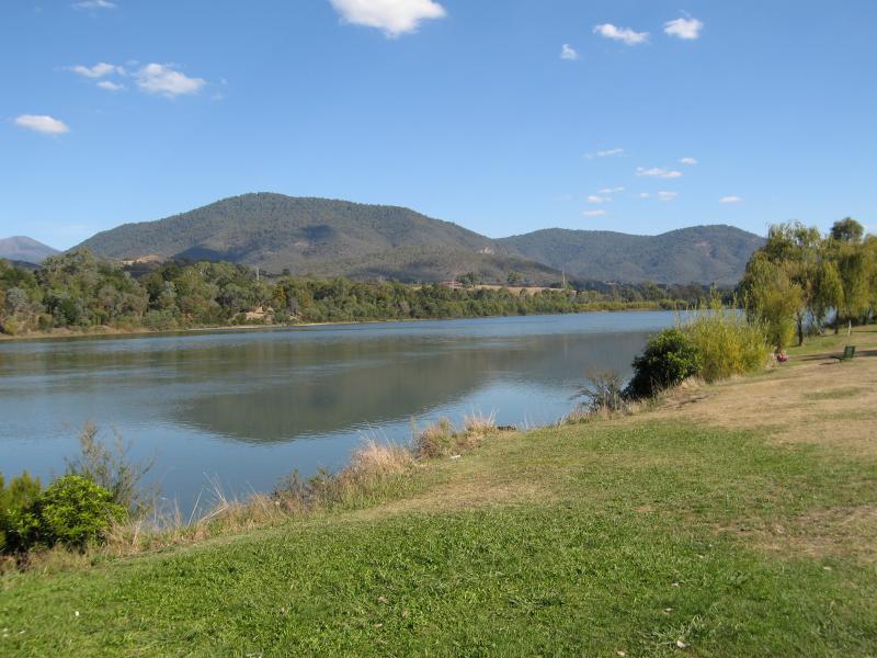
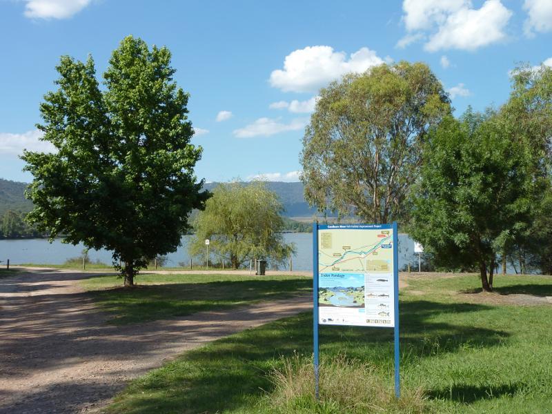
Lions Riverside Park along Goulburn River at Riverside Drive - View south-west along river
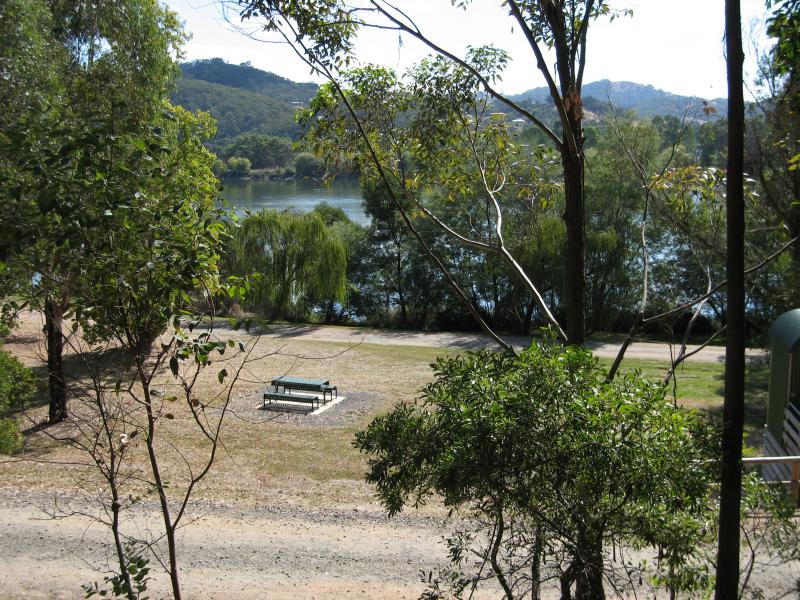
Lions Riverside Park along Goulburn River at Riverside Drive - BBQ and picnic area, view north-east along river
Lions Riverside Park along Goulburn River at Riverside Drive - View north-east through park and along river
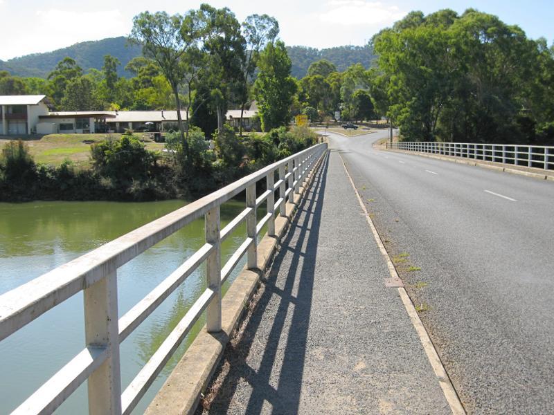
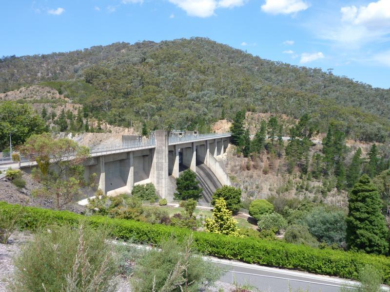
Goulburn Valley Highway at bridge across Goulburn River and surroundings - View north along Goulburn Valley Hwy towards bridge
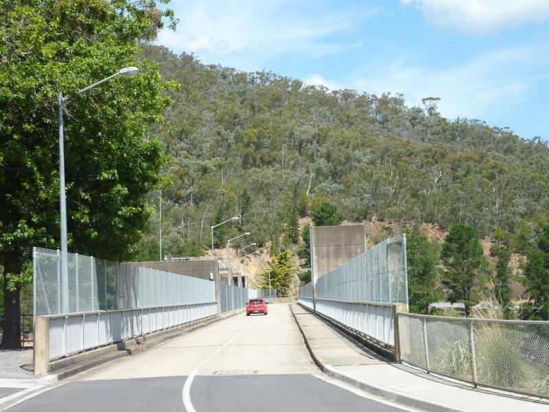
Goulburn Valley Highway at bridge across Goulburn River and surroundings - View north along bridge
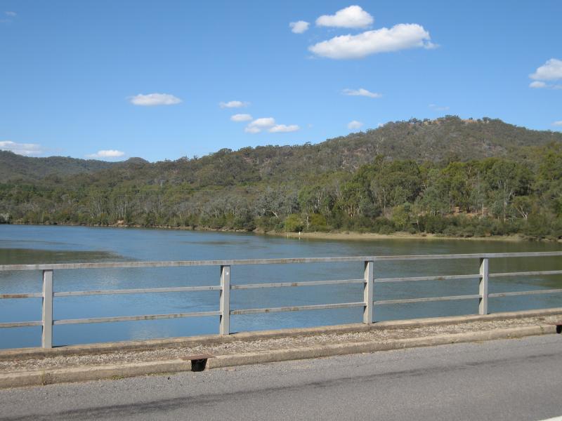
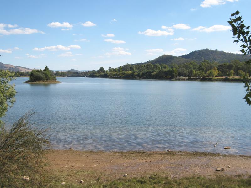
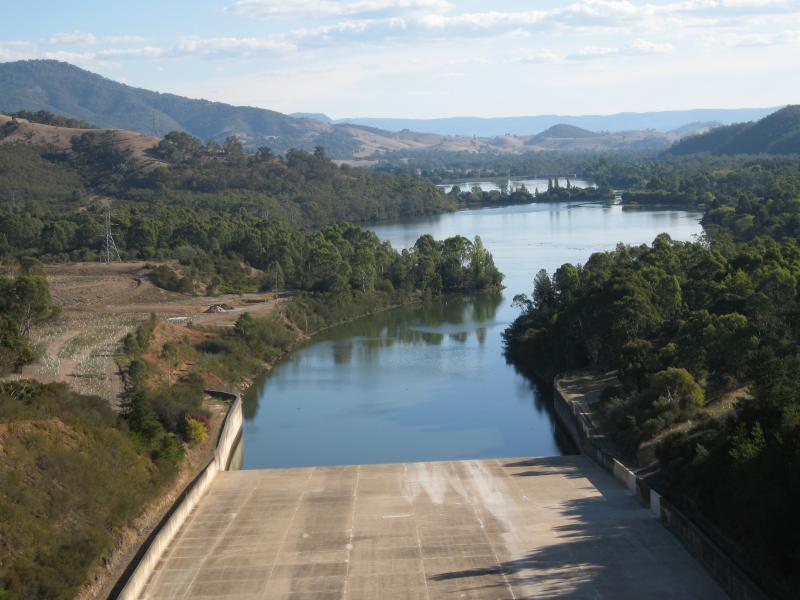
Goulburn Valley Highway at bridge across Goulburn River and surroundings - View north-east towards pondage from bridge
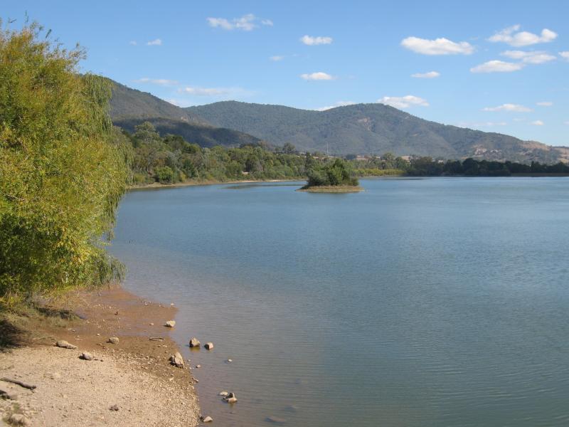
Goulburn Valley Highway at bridge across Goulburn River and surroundings - View north-east along pondage towards weir at spillway
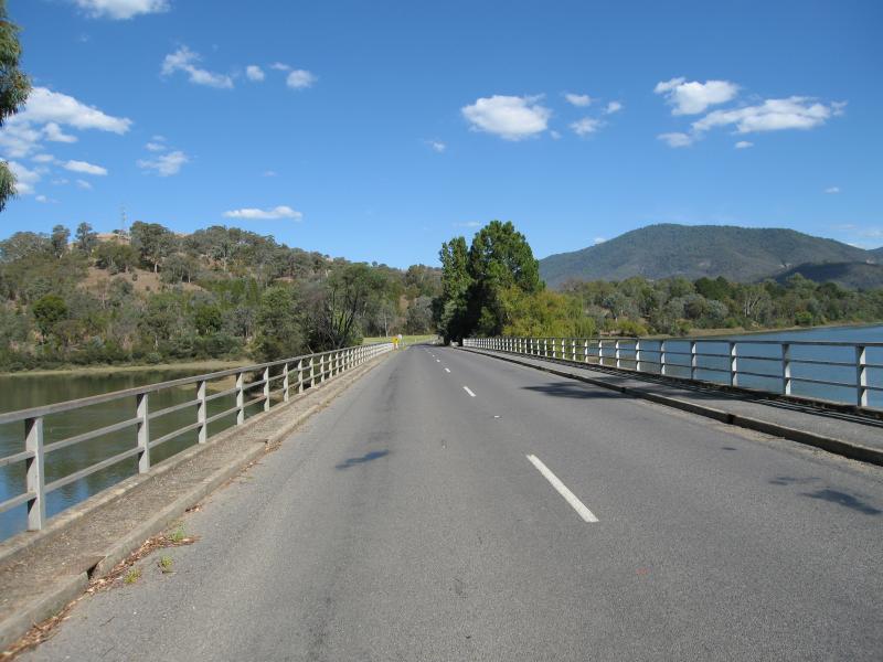
Goulburn Valley Highway at bridge across Goulburn River and surroundings - View south along bridge
Goulburn Valley Highway at bridge across Goulburn River and surroundings - View south along bridge
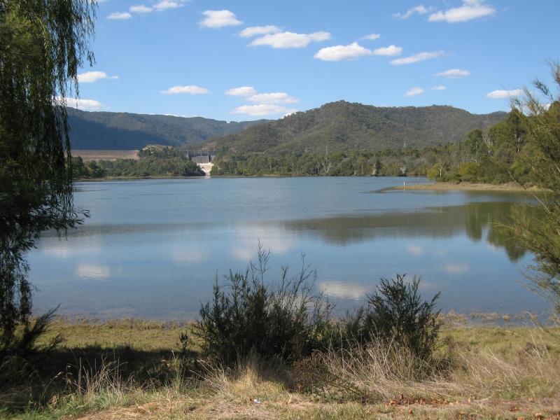
Goulburn Valley Highway at bridge across Goulburn River and surroundings - View south-west along river from south side of bridge
Goulburn Valley Highway at bridge across Goulburn River and surroundings - View south-west along river from bridge
Goulburn Valley Highway at bridge across Goulburn River and surroundings - View south-west along river
Goulburn Valley Highway at bridge across Goulburn River and surroundings - View north across river from Goulburn Valley Hwy south of bridge
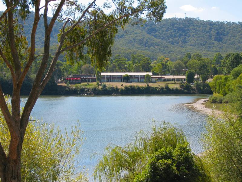
Goulburn Valley Highway at bridge across Goulburn River and surroundings - View north across Goulburn River towards Golden Trout Hotel
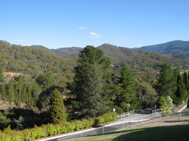
Goulburn Valley Highway at bridge across Goulburn River and surroundings - View south along Eildon Rd towards Riverside Dr
Goulburn Valley Highway at bridge across Goulburn River and surroundings - View east across John Coller Oval, Eildon Rd near Riverside Dr
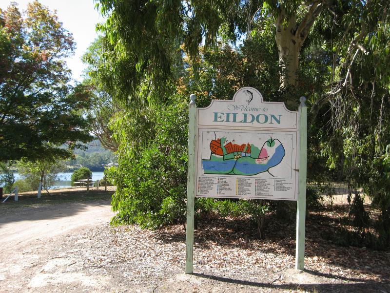
Southern side of Goulburn River, 2 kilometres south-west of town centre - Eildon sign at entrance to picnic area
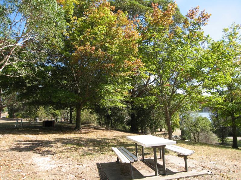
Southern side of Goulburn River, 2 kilometres south-west of town centre - BBQ and picnic area
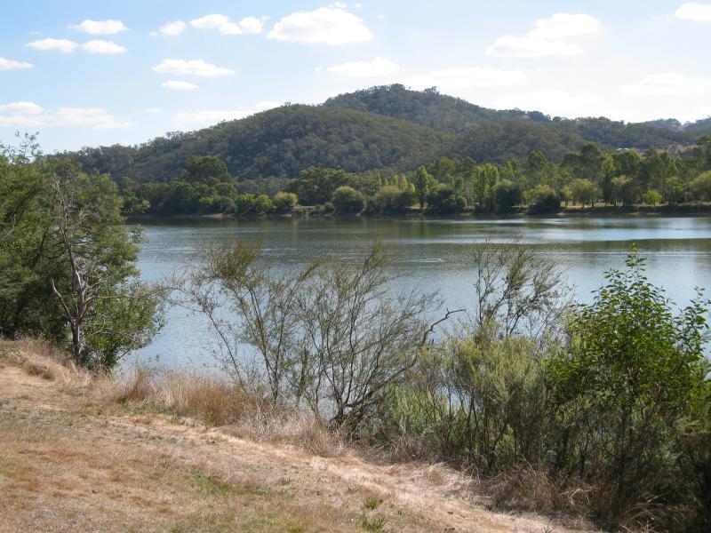
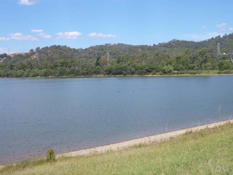
Southern side of Goulburn River, 2 kilometres south-west of town centre - View north across Goulburn River
Southern side of Goulburn River, 2 kilometres south-west of town centre - View north through picnic area towards river
Southern side of Goulburn River, 2 kilometres south-west of town centre - View north-east through picnic area towards river
Southern side of Goulburn River, 2 kilometres south-west of town centre - View north-east along Goulburn River towards bridge and Golden Trout Hotel
Goulburn River at the weir and surrounding parkland, south-west of Eildon town centre - Picnic area and car park near Goulburn Valley Hwy
Goulburn River at the weir and surrounding parkland, south-west of Eildon town centre - North-east view across river from car park
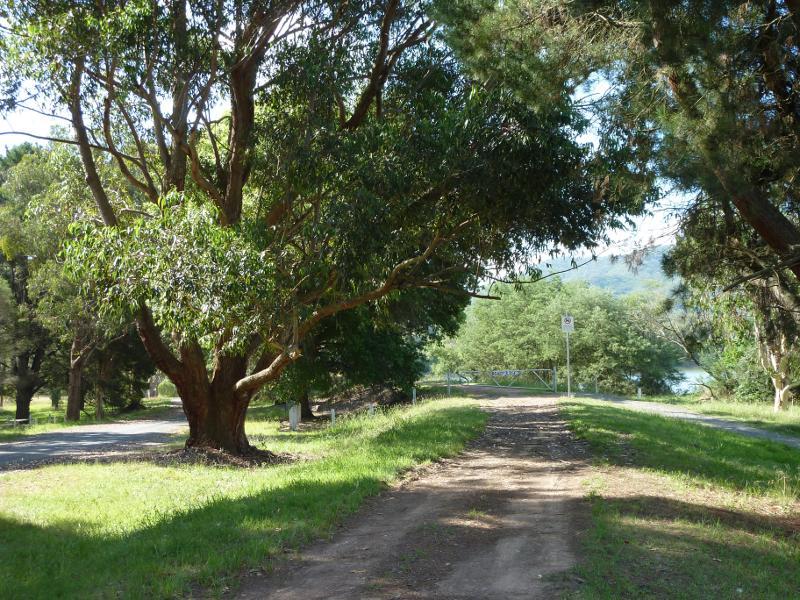
Goulburn River at the weir and surrounding parkland, south-west of Eildon town centre - Start of walking track from car park to weir
Goulburn River at the weir and surrounding parkland, south-west of Eildon town centre - View south-east along walking track and side of river
Goulburn River at the weir and surrounding parkland, south-west of Eildon town centre - View east across river
Goulburn River at the weir and surrounding parkland, south-west of Eildon town centre - View north-east along river towards dam wall
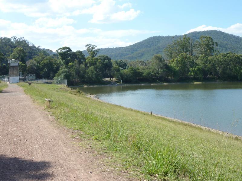
Goulburn River at the weir and surrounding parkland, south-west of Eildon town centre - View north-east across river to shore line along Riverside Dr
Goulburn River at the weir and surrounding parkland, south-west of Eildon town centre - View north-west along walking track towards weir
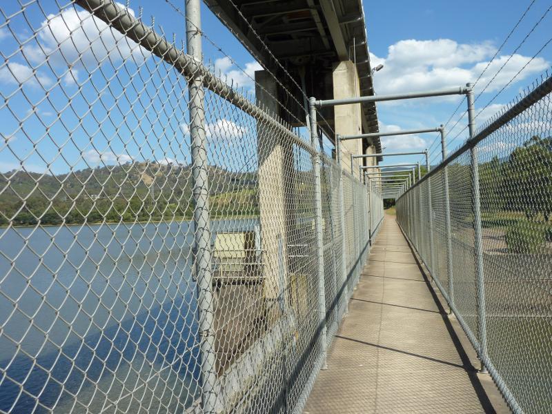
Goulburn River at the weir and surrounding parkland, south-west of Eildon town centre - Walkway across weir
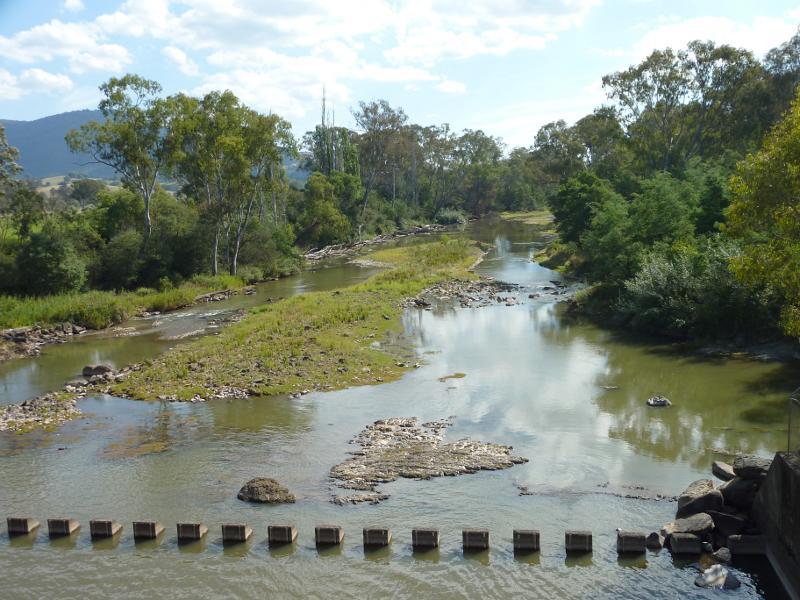
Goulburn River at the weir and surrounding parkland, south-west of Eildon town centre - View south-west along Goulburn River from weir
Goulburn River at the weir and surrounding parkland, south-west of Eildon town centre - View of weir from north side of river
Goulburn River at the weir and surrounding parkland, south-west of Eildon town centre - Easterly view across Goulburn River from north side of weir
Goulburn River at the weir and surrounding parkland, south-west of Eildon town centre - North-easterly view along Goulburn River from north side of weir
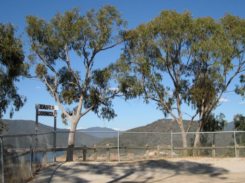
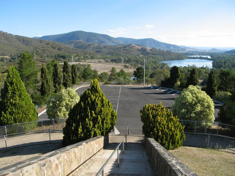
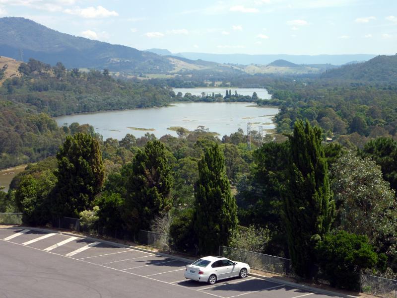
Easts Lookout, Tank Hill Road - Car park at lookout
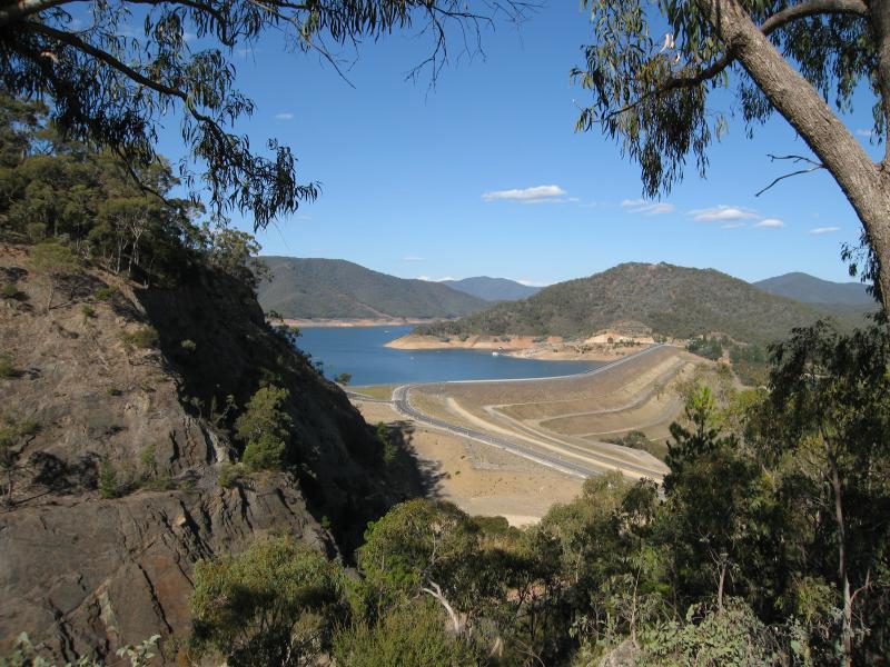
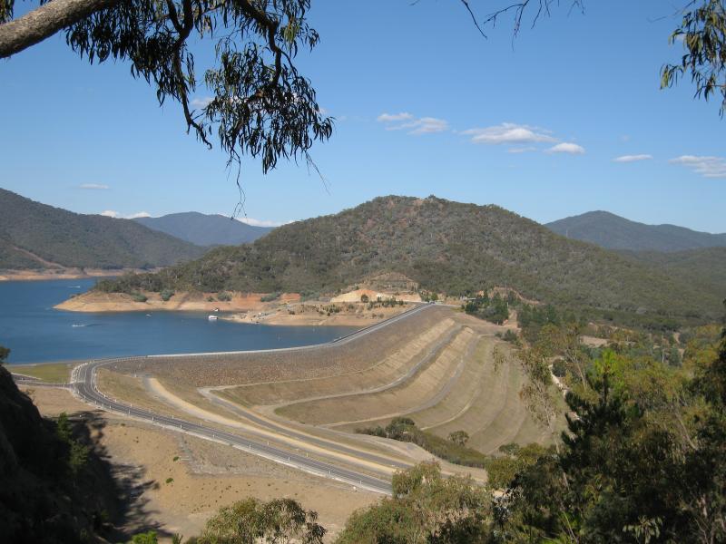
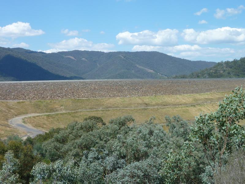
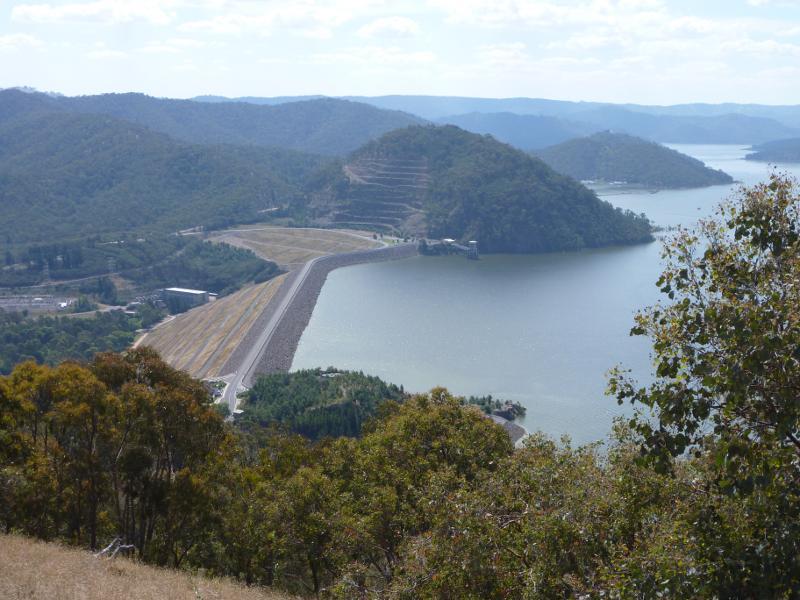
Easts Lookout, Tank Hill Road - View south-east towards dam wall
Easts Lookout, Tank Hill Road - View south-east towards dam wall
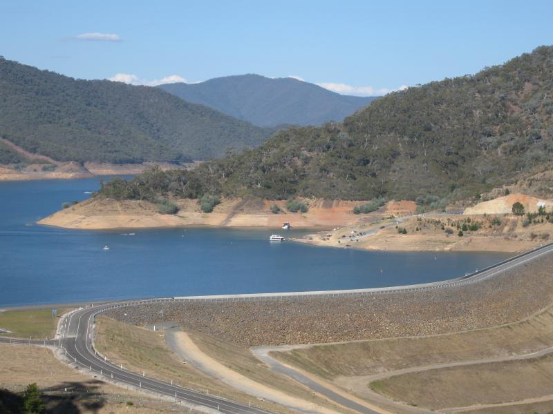
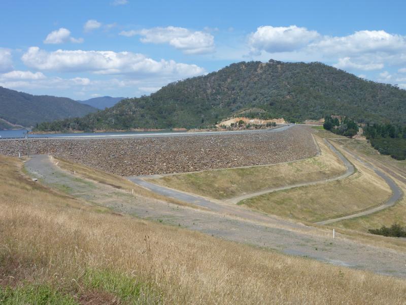
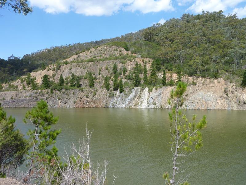
Easts Lookout, Tank Hill Road - View south-west across dam wall towards Point Dethridge
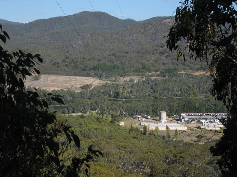
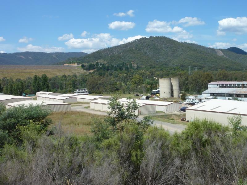
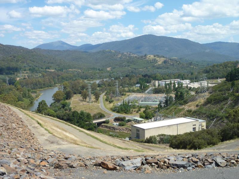
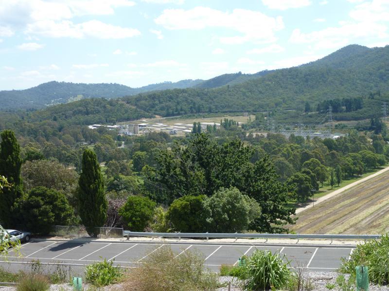
Easts Lookout, Tank Hill Road - View south-east towards power station
Sugarloaf Road - View east towards industrial estate
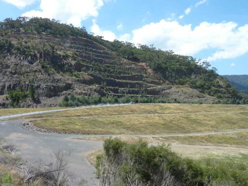
Sugarloaf Road - North-easterly view towards dam wall
Sugarloaf Road - Northerly view towards Mt Sugarloaf
Western end of dam wall on Lake Eildon - View south-east along dam wall
Western end of dam wall on Lake Eildon - View south along waterway near power station
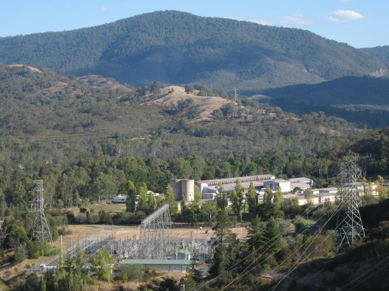
Western end of dam wall on Lake Eildon - View south towards power station
Western end of dam wall on Lake Eildon - View down to power station
Western end of dam wall on Lake Eildon - View south-east along road on top of dam wall
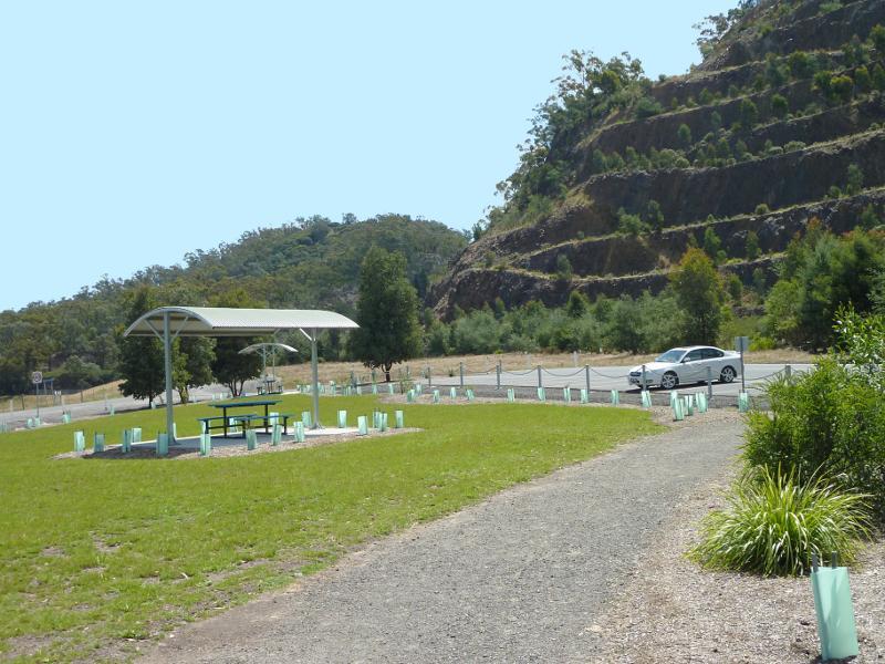
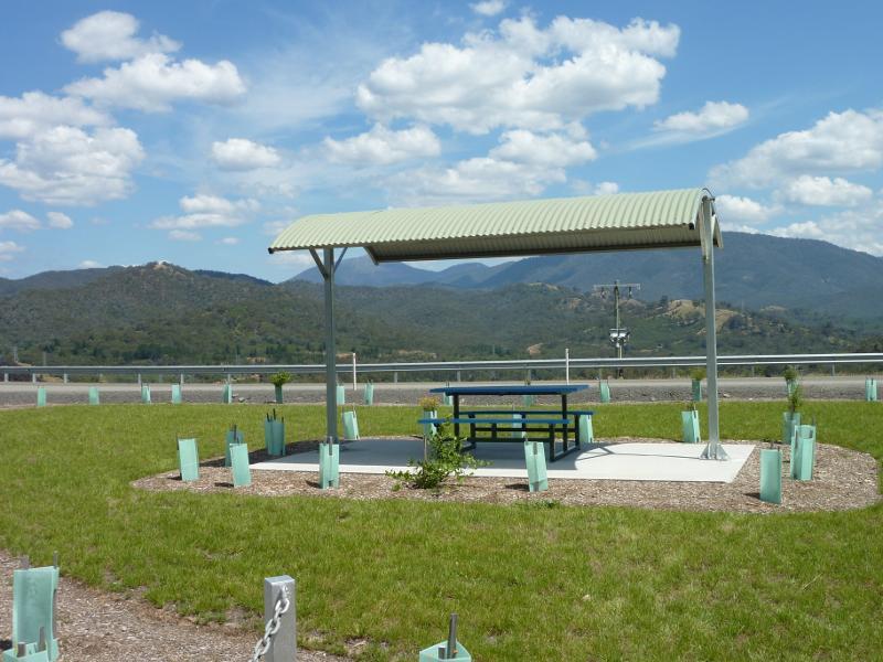
Western end of dam wall on Lake Eildon - Picnic area at car park beside Mt Sugarloaf
Western end of dam wall on Lake Eildon - Southerly view from picnic area
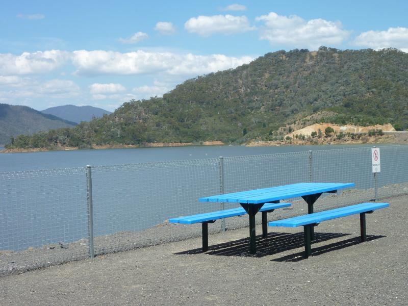
Western end of dam wall on Lake Eildon - Seating at picnic area fronting Lake Eildon
Western end of dam wall on Lake Eildon - South-easterly view along dam wall
Western end of dam wall on Lake Eildon - Easterly view towards Point Dethridge
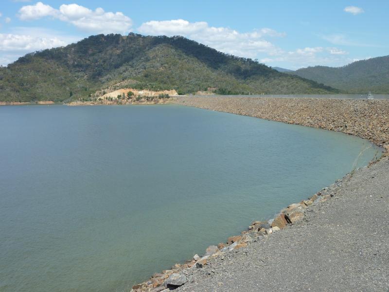
Western end of dam wall on Lake Eildon - Easterly view across Lake Eildon
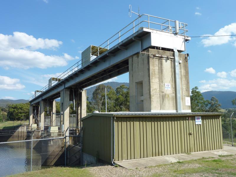
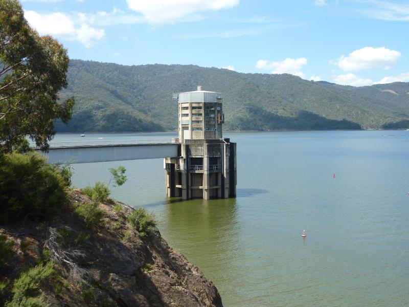
Western end of dam wall on Lake Eildon - View towards control tower
Midway along Eildon dam wall - South-westerly view along pondage
Midway along Eildon dam wall - View south-east along Embankment Rd and dam wall
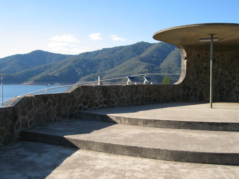
Eastern end of Lake Eildon dam wall and lookout - View south-east along Embankment Rd towards toilets and road to Point Dethridge
Eastern end of Lake Eildon dam wall and lookout - View towards lookout from Embankment Rd
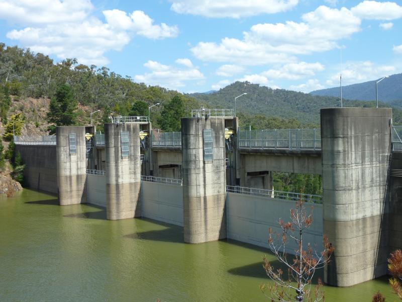
Eastern end of Lake Eildon dam wall and lookout - View east towards weir at spillway from lookout
Eastern end of Lake Eildon dam wall and lookout - Southerly view from lookout across spillway
Eastern end of Lake Eildon dam wall and lookout - View south-west from lookout towards pondage
Eastern end of Lake Eildon dam wall and lookout - View south-west from lookout towards car park and pondage
Eastern end of Lake Eildon dam wall and lookout - South-westerly view from lookout towards pondage
Eastern end of Lake Eildon dam wall and lookout - Westerly view from lookout towards power station
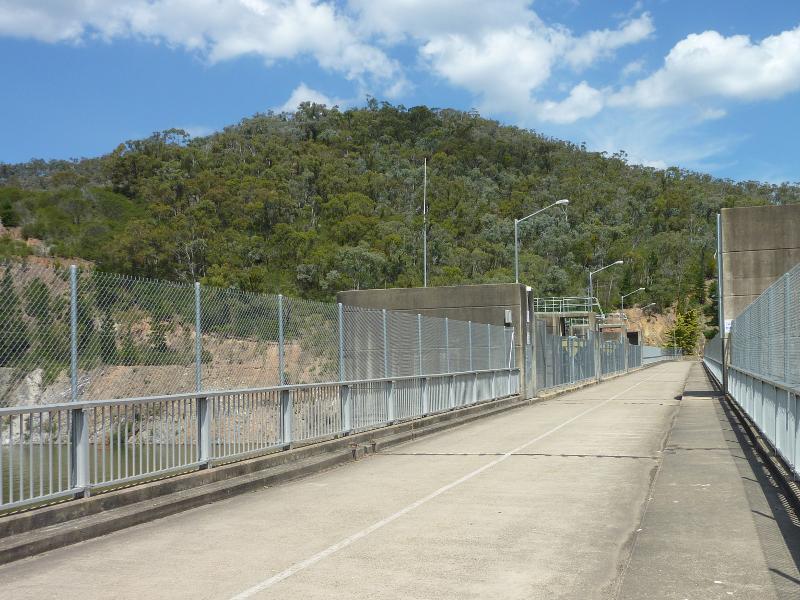
Eastern end of Lake Eildon dam wall and lookout - View north-west along dam wall from lookout
Eastern end of Lake Eildon dam wall and lookout - View north-west from lookout towards Lake Eildon
Eastern end of Lake Eildon dam wall and lookout - View north from lookout
Spillway, Embankment Road - View south-west through gardens along west side of spillway
Spillway, Embankment Road - View south-east along Embankment Rd towards spillway
Spillway, Embankment Road - View south-east along Embankment Rd over spillway
Spillway, Embankment Road - View north-east from spillway towards Lake Eildon
Spillway, Embankment Road - View towards spillway from pathway north of Embankment Rd
Spillway, Embankment Road - View east across inlet just north of spillway
Spillway, Embankment Road - View south-west along spillway from Embankment Rd
Spillway, Embankment Road - View south-west along spillway from Embankment Rd
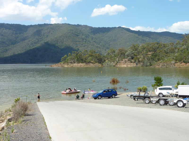
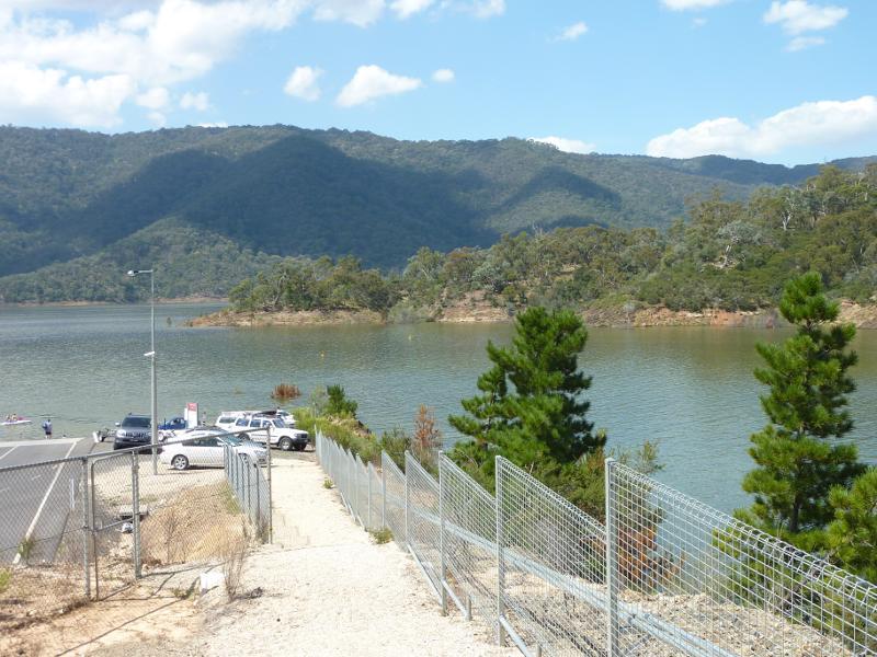
Boat ramp at Point Dethridge - View north along road to Point Dethridge from Embankment Rd
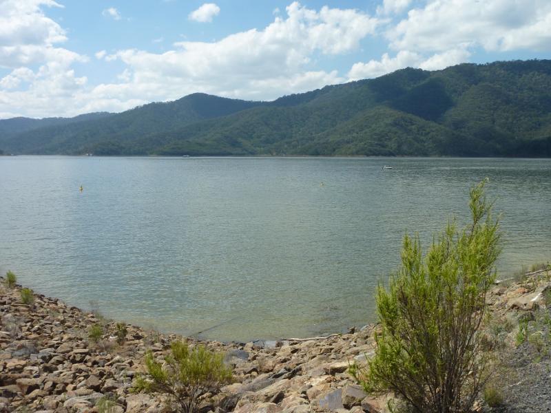
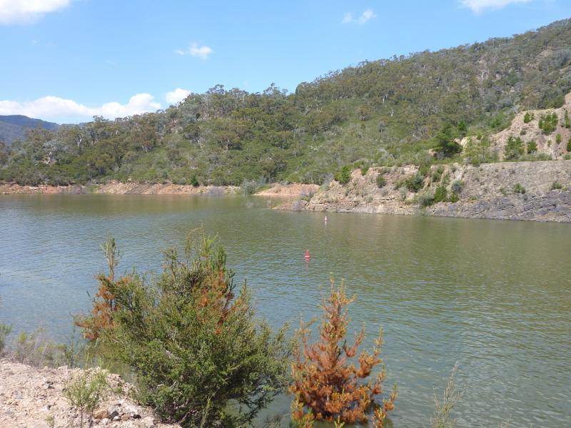
Boat ramp at Point Dethridge - View across Lake Eildon from near boat ramp
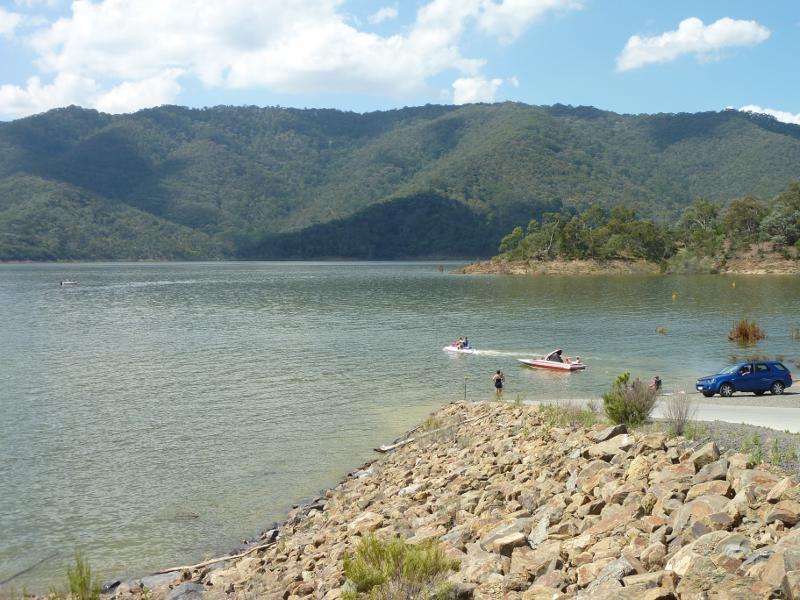
Boat ramp at Point Dethridge - View across lake at boat ramp
Boat ramp at Point Dethridge - View along boat ramp
Boat ramp at Point Dethridge - View north-east across lake towards car park at boat ramp
Boat ramp at Point Dethridge - View east across lake on east side of boat ramp
Jerusalem Creek Road - View north along Pinniger Rd at Jerusalem Creek Rd
Jerusalem Creek Road - View east along Jerusalem Creek Rd at Pinniger Rd
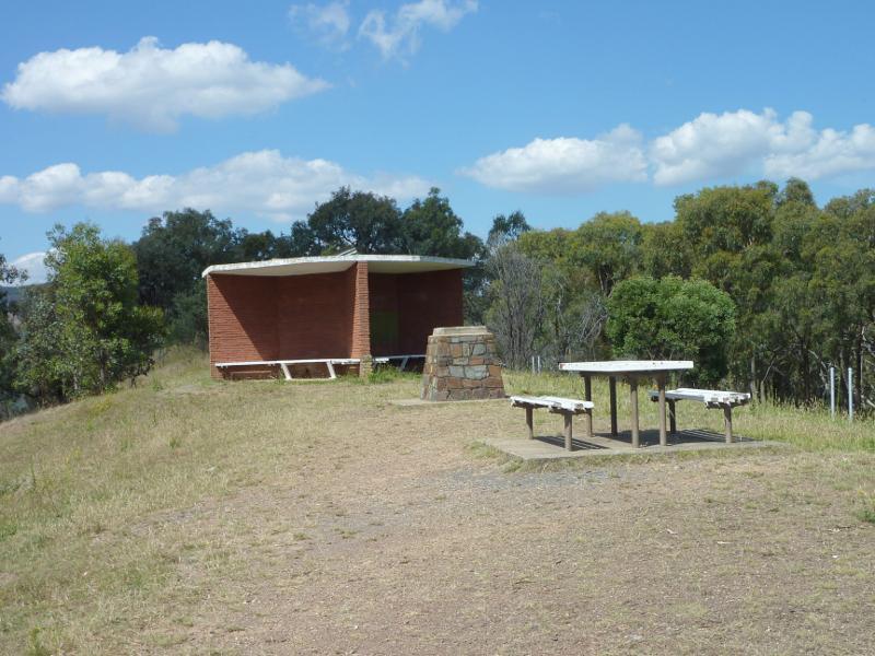
Mount Pinniger - Shelter at Mount Pinniger lookout
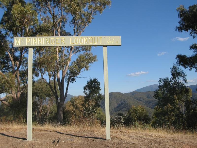
Mount Pinniger - Sign at Mt Pinniger lookout
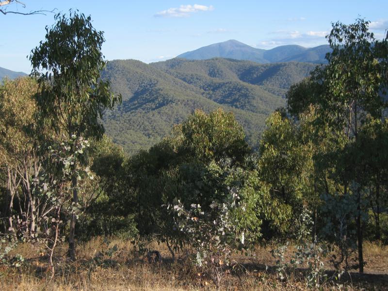
Mount Pinniger - View south from Mt Pinniger lookout
Mount Pinniger - View north from Mt Pinniger lookout
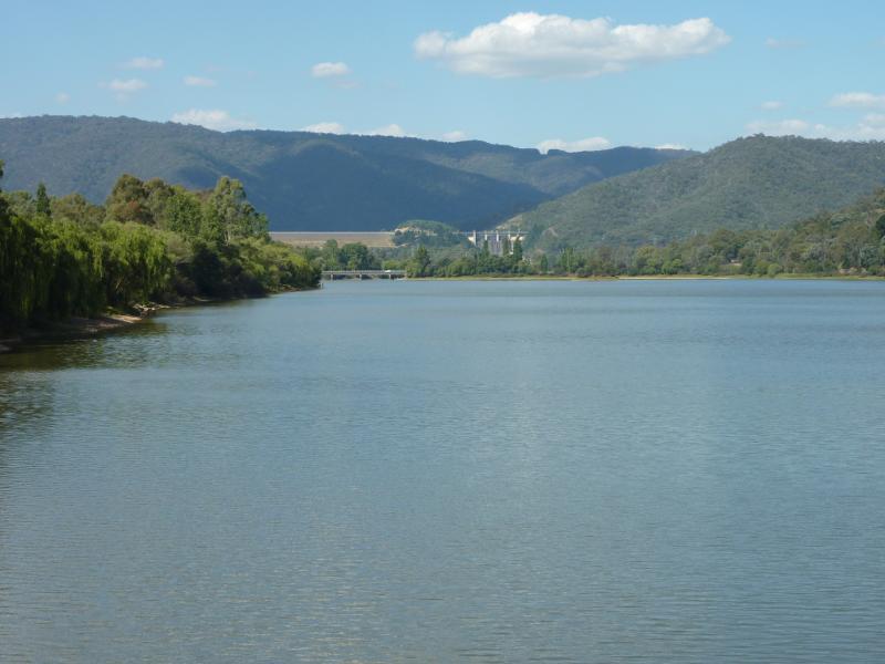
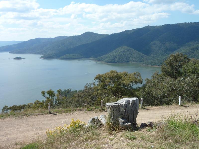
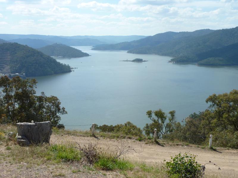
Mount Pinniger - View north-west along Lake Eildon from Mt Pinniger lookout
Mount Pinniger - View north-west from Mt Pinniger lookout towards Lake Eildon dam wall
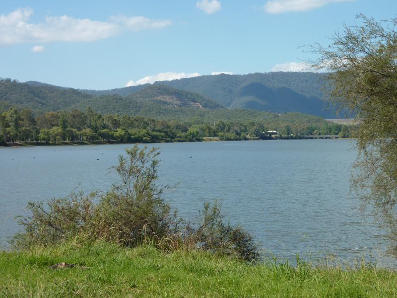
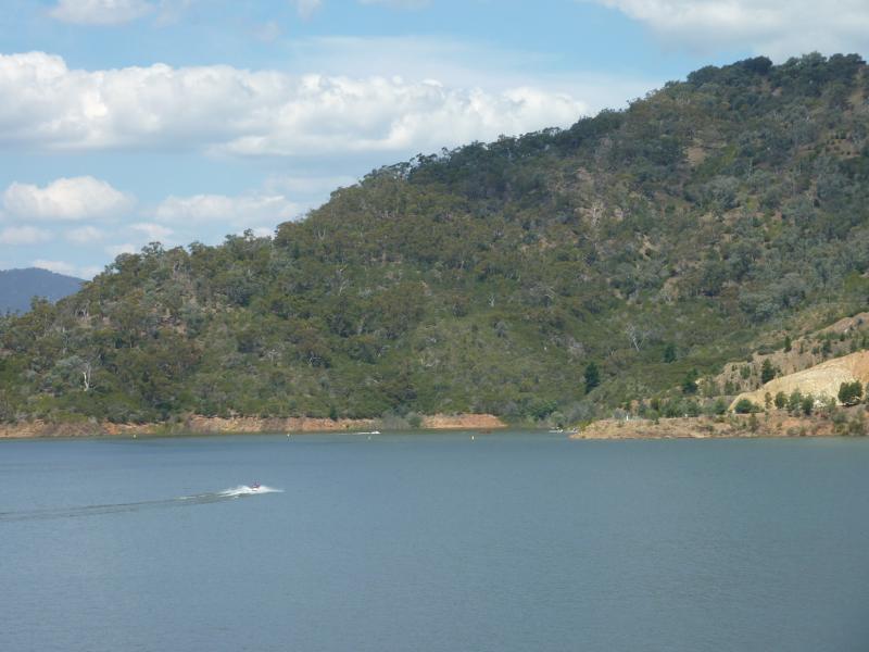
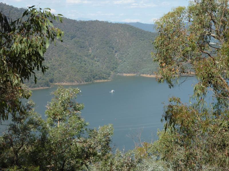
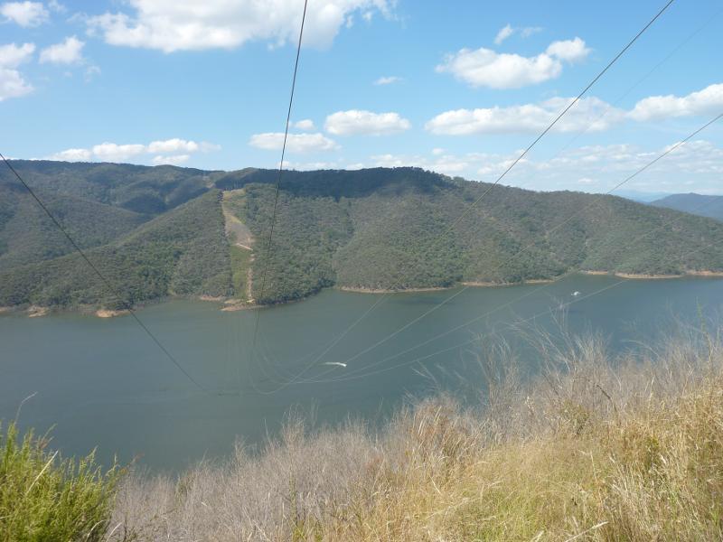
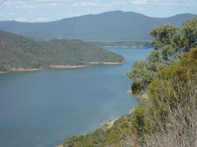
Mount Pinniger - North-easterly view across Lake Eildon from Mt Pinniger Rd east of lookout
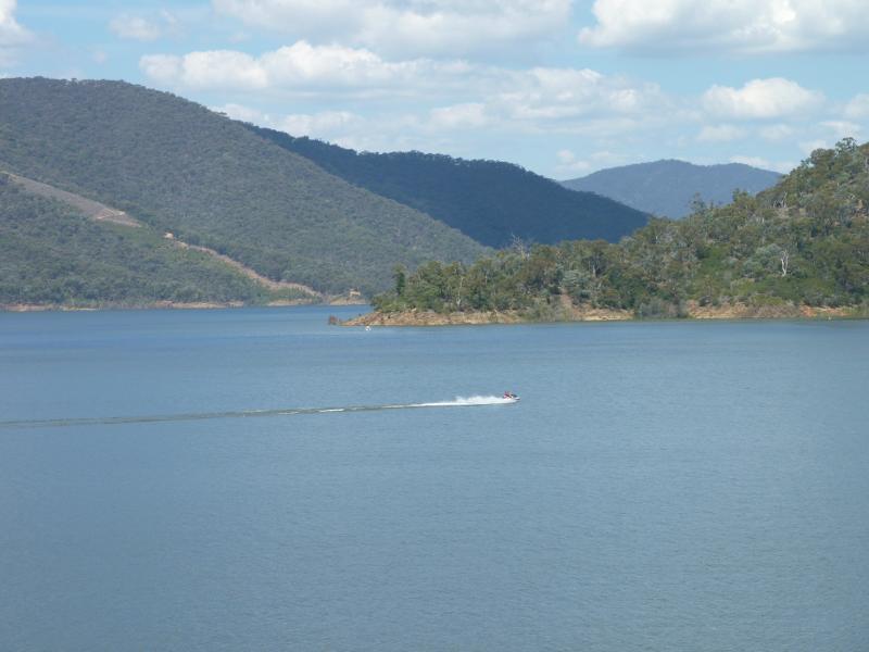
Mount Pinniger - View north-east along Lake Eildon from power lines at Mt Pinniger Rd
Mount Pinniger - View east along Lake Eildon from power lines at Mt Pinniger Rd
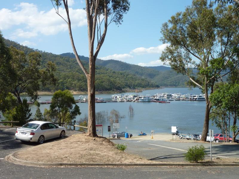
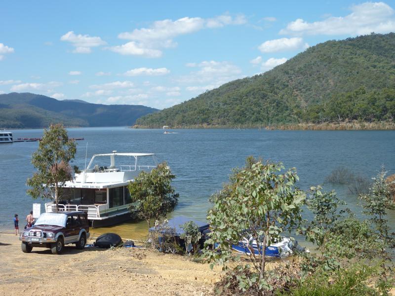
Boat ramp at Jerusalem Inlet, Jerusalem Creek Road - Northerly view from boat ramp towards marina
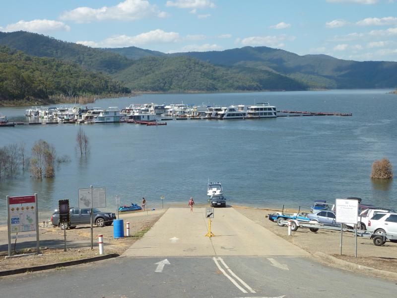
Boat ramp at Jerusalem Inlet, Jerusalem Creek Road - North-easterly view from car park towards boat ramp
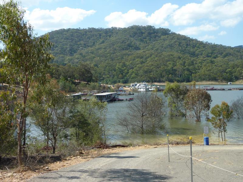
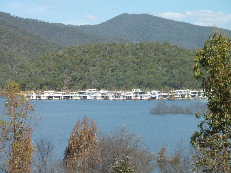
Boat ramp at Jerusalem Inlet, Jerusalem Creek Road - Marina and houseboats viewed from boat ramp
Boat ramp at Jerusalem Inlet, Jerusalem Creek Road - View along boat ramp
Boat ramp at Jerusalem Inlet, Jerusalem Creek Road - North-easterly view towards boat ramp
Boat ramp at Jerusalem Inlet, Jerusalem Creek Road - Houseboat near boat ramp
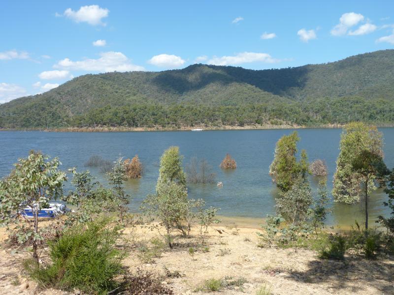
Boat ramp at Jerusalem Inlet, Jerusalem Creek Road - Easterly view across inlet
Boat ramp at Jerusalem Inlet, Jerusalem Creek Road - South-easterly view along inlet
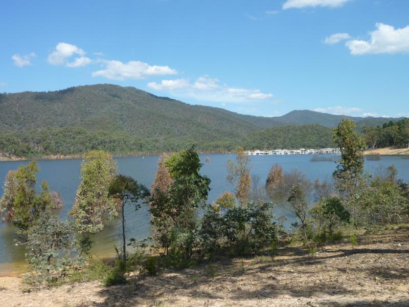
Boat ramp at Jerusalem Inlet, Jerusalem Creek Road - South-easterly view along inlet towards houseboats
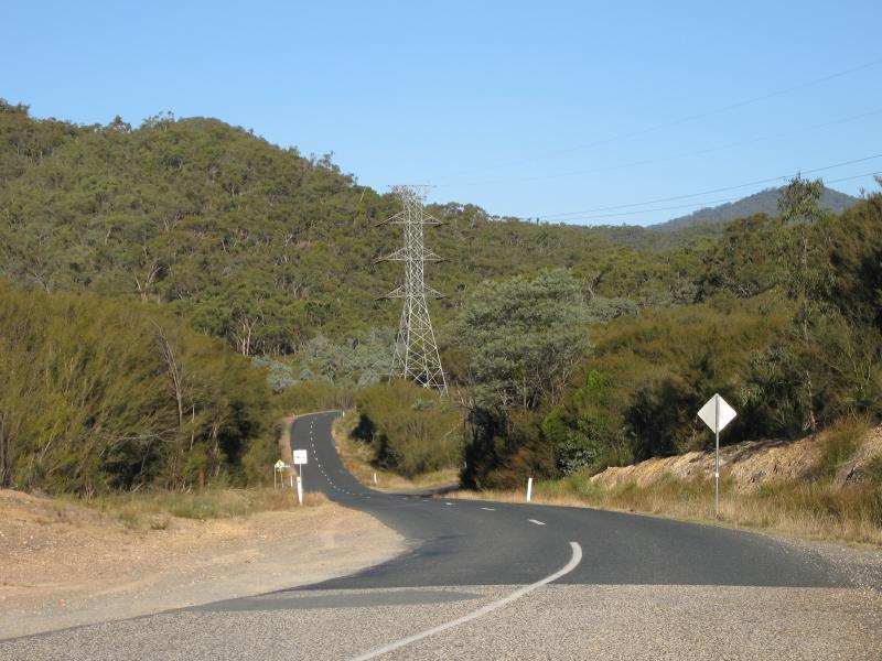
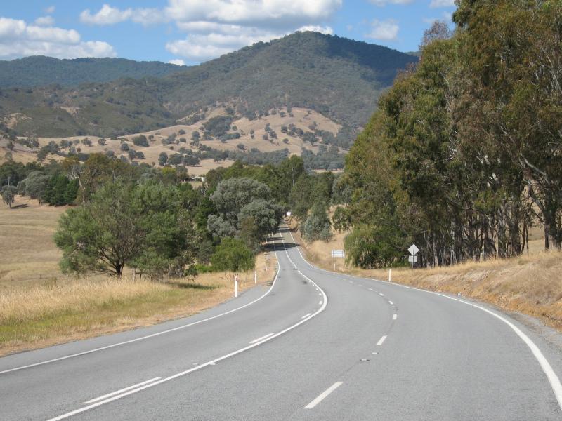
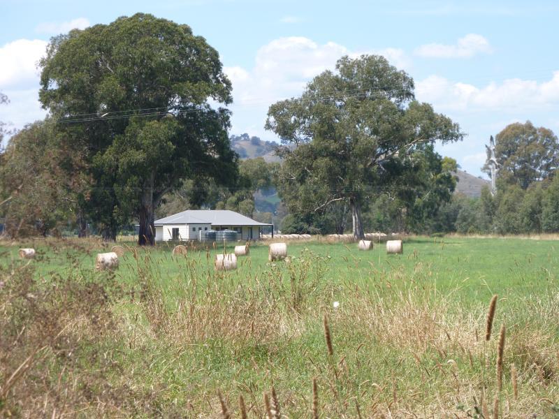
Goulburn Valley Highway between Thornton and Eildon - View south-east along Goulburn Valley Hwy, 11 km west of Eildon
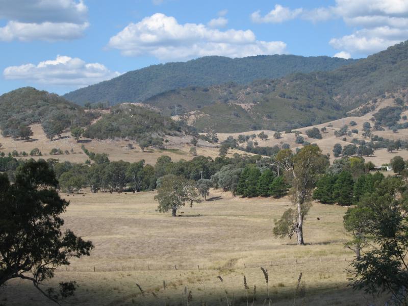
Goulburn Valley Highway between Thornton and Eildon - North-east view from Goulburn Valley Hwy, 11 km west of Eildon
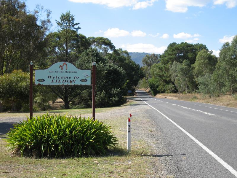
Goulburn Valley Highway between Thornton and Eildon - View east along Goulburn Valley Hwy towards Eildon town sign
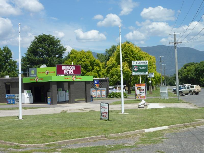
Town of Thornton, Goulburn Valley Highway west of Eildon - Rubicon Hotel, corner Goulburn Valley Hwy and Taggerty-Thornton Rd
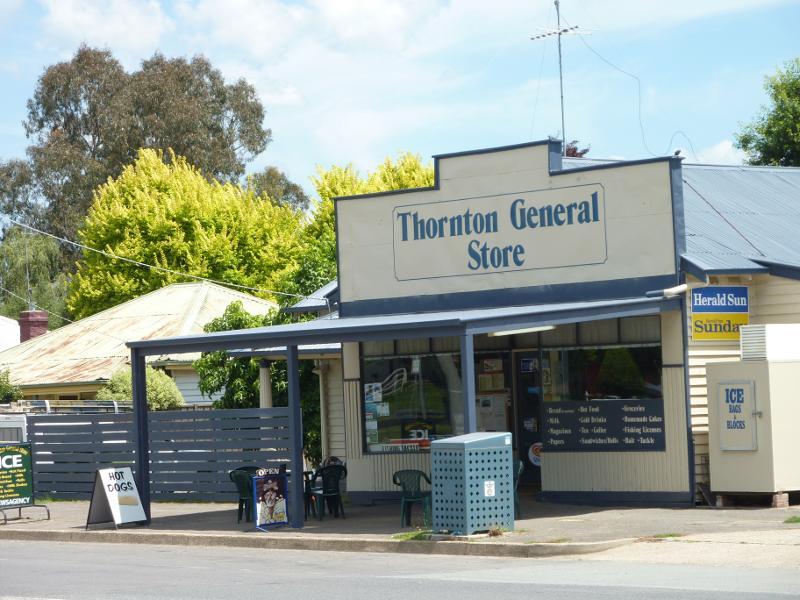
Town of Thornton, Goulburn Valley Highway west of Eildon - Thornton General Store, Taggerty-Thornton Rd
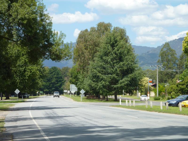
Town of Thornton, Goulburn Valley Highway west of Eildon - View east along Goulburn Valley Hwy, east of Taggerty-Thornton Rd
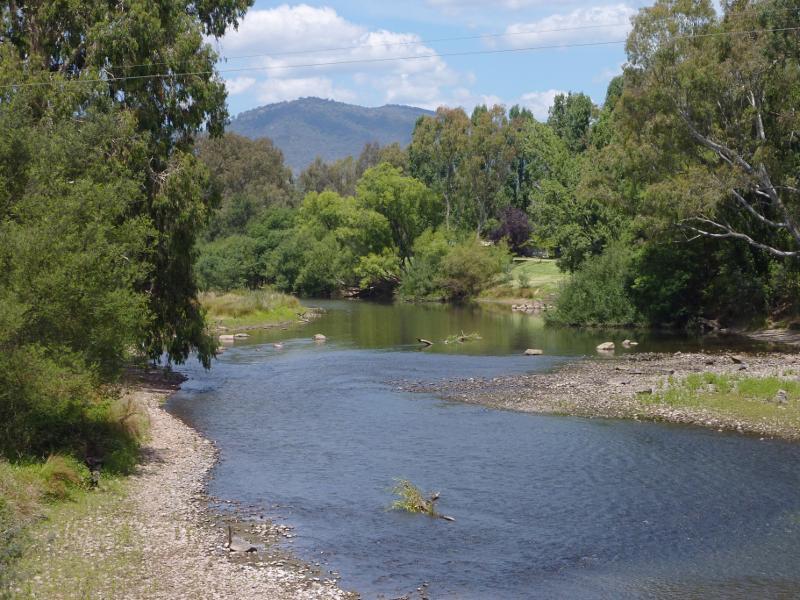
Town of Thornton, Goulburn Valley Highway west of Eildon - View south-east along Goulburn River from Back Eildon Rd
Town of Thornton, Goulburn Valley Highway west of Eildon - View south across Goulburn River at Thornton Beach
Town of Thornton, Goulburn Valley Highway west of Eildon - View north-west along Goulburn River towards bridge at Back Eildon Rd from Thornton Beach
Town of Thornton, Goulburn Valley Highway west of Eildon - Easterly view, Back Eildon Rd just north of Goulburn River
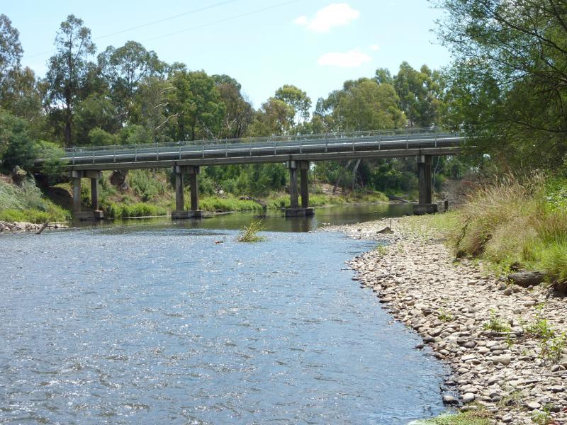
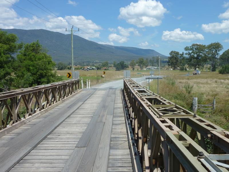
Rubicon River, Taggerty-Thornton Road south of Thornton - View south along bridge over Goulburn River
Rubicon River, Taggerty-Thornton Road south of Thornton - Southerly view, Taggerty-Thornton Road just south of Rubicon River
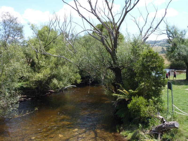
Rubicon River, Taggerty-Thornton Road south of Thornton - View west along Rubicon River from bridge
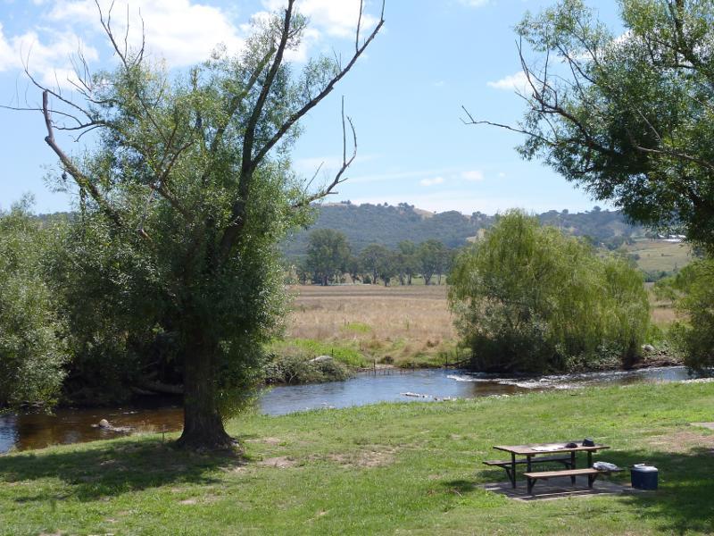
Rubicon River, Taggerty-Thornton Road south of Thornton - North-westerly view across parkland towards Rubicon River
Rubicon River, Taggerty-Thornton Road south of Thornton - Parkland beside Rubicon River
Rubicon River, Taggerty-Thornton Road south of Thornton - View across Rubicon River from parkland