Elwood
Elwood
Stay
See and do
Food and drink
Shopping
Getting around
Visitor information
The beach side suburb of Elwood is located 8 kilometres from the centre of Melbourne, between St Kilda and Brighton.
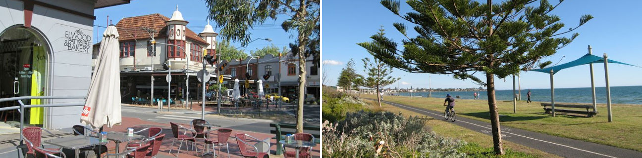
A number of local shopping strips can be found in Elwood. The largest of those is "Elwood Village" which extends along two main sections of Ormond Road. Located there are speciality shops, retailers and eateries which blend in with the surrounding apartment buildings and homes. Along sections of the grand tree-lined boulevard of Brighton Road, which becomes St Kilda Road and the Nepean Highway, are more retail and service outlets as well as a couple of large historic hotels.
Elwood's beaches are lined with a continuous series of parks and separate paved walking and bicycle tracks. At the northern end of the coast is the M.O. Moran Reserve which fronts the rocky shoreline and extends down to the Elwood Canal with its characteristic twin bridges. Further south is the Point Ormond Reserve, situated on a raised headland. The highest point in the park is known as Point Ormond Hill, which is adorned with a historic wooden navigation marker. From the top of the hill are exceptional northerly views of the city skyline and bay, while the view south offers a sweeping view along Elwood's sandy beaches and further along to the marina at Brighton. Elwood Park fronts the southern end of the beach at Head Street, and includes several sports ovals and other recreational facilities.
Elwood's sandy beach extends along the coastline from the groyne at Point Ormond to just past the characteristic diversion drain (which looks like a wide cement pier) at the end of Head Street. The wide expanse of sand and the calm waters, patrolled by the Elwood Life Saving Club, are ideal for safe and sheltered swimming. Fronting the beach are a couple of kiosks, boating clubs and a restaurant.