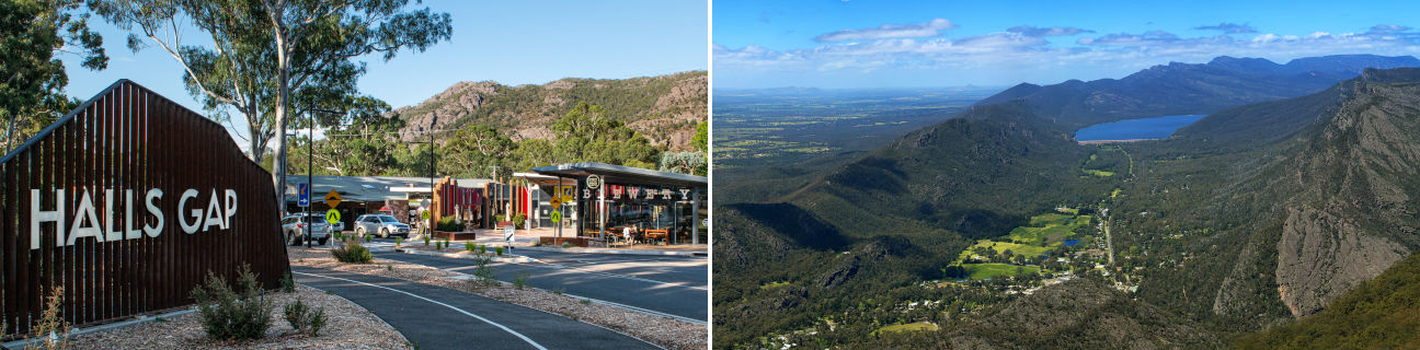
Halls Gap - photos
Halls Gap
Stay
See and do
Food and drink
Shopping
Getting around
Visitor information
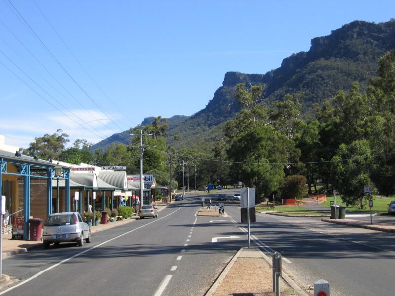
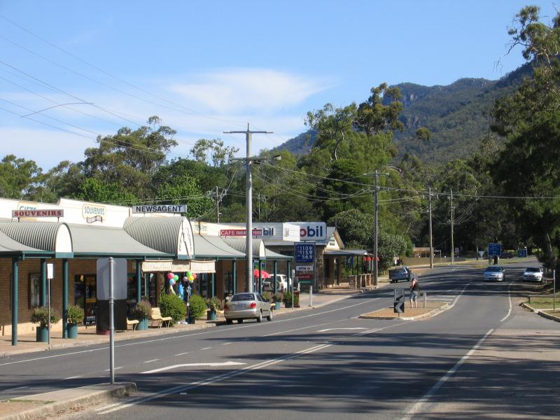
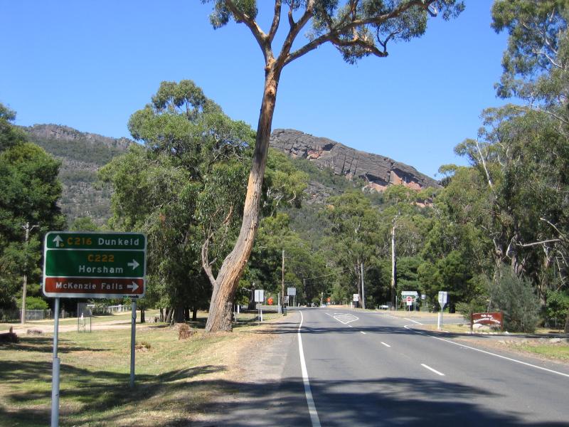 Commercial centre and shops - View south along Grampians Rd towards Mt Victory Rd
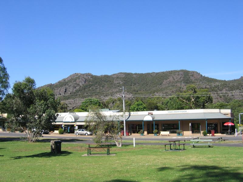
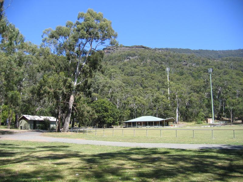 Commercial centre and shops - Recreation reserve, corner Grampians Rd and Mt Victory Rd
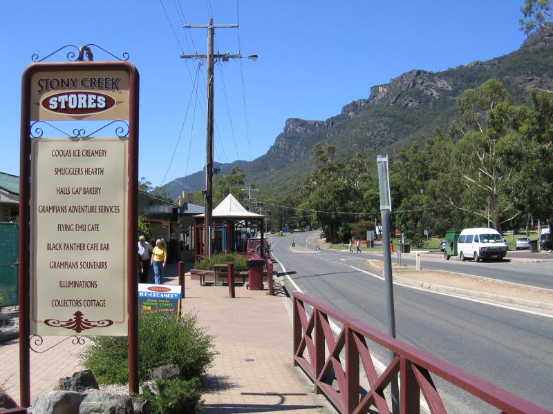
 Commercial centre and shops - View north along Grampians Rd towards bridge over Stony Creek and Stony Creek Stores
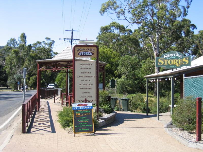
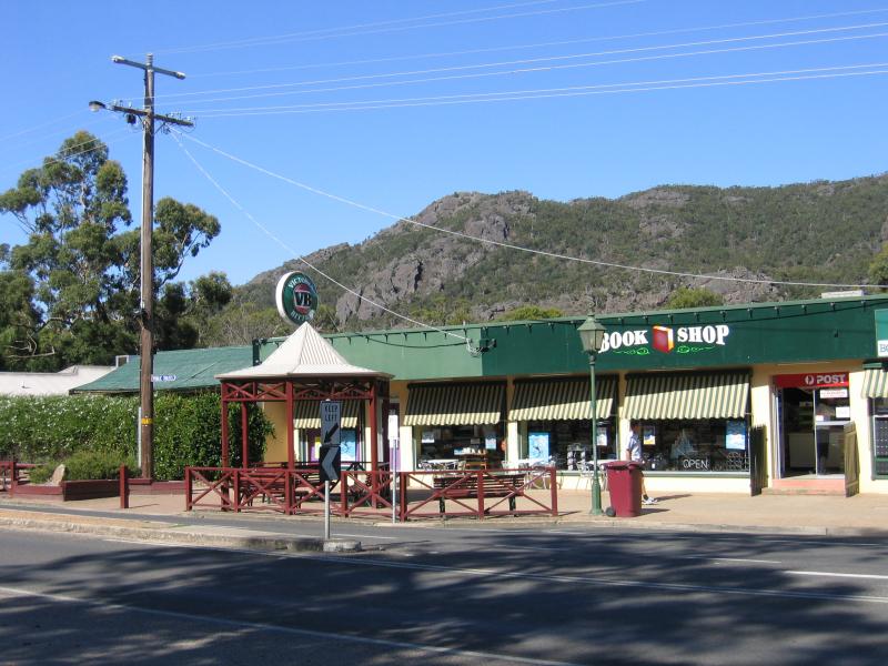
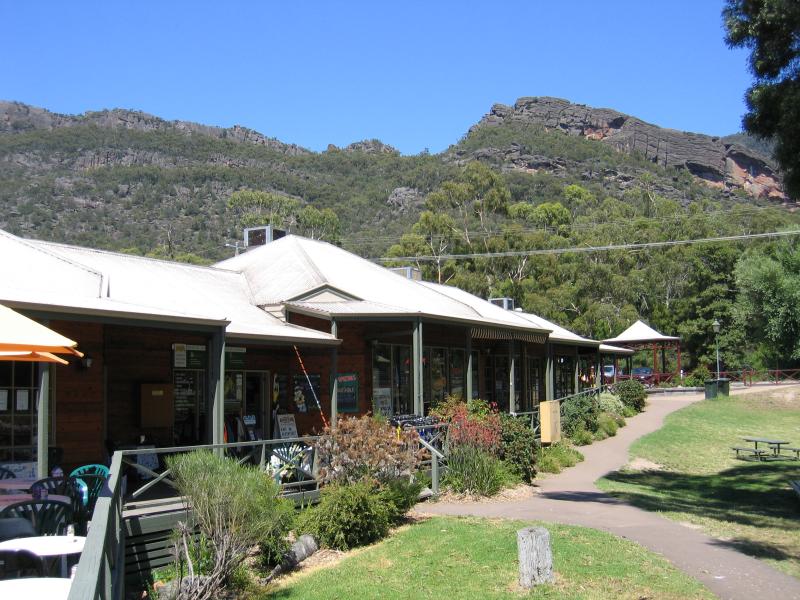 Commercial centre and shops - Stony Creek Stores
 Commercial centre and shops - Stony Creek Stores
 Commercial centre and shops - Restaurant at Stony Creek Stores
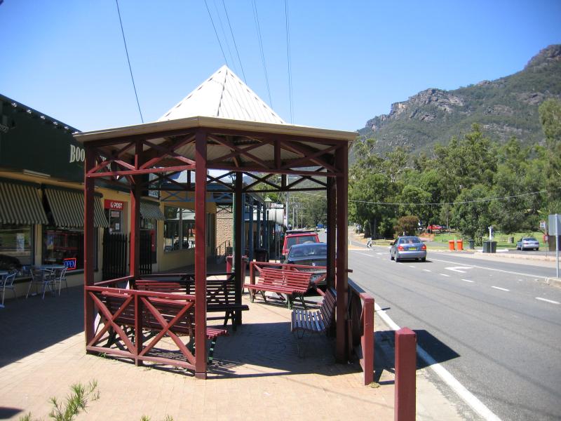
 Commercial centre and shops - View south along Grampians Rd at Stony Creek Stores
 Commercial centre and shops - View south along Grampians Rd at Stony Creek Stores
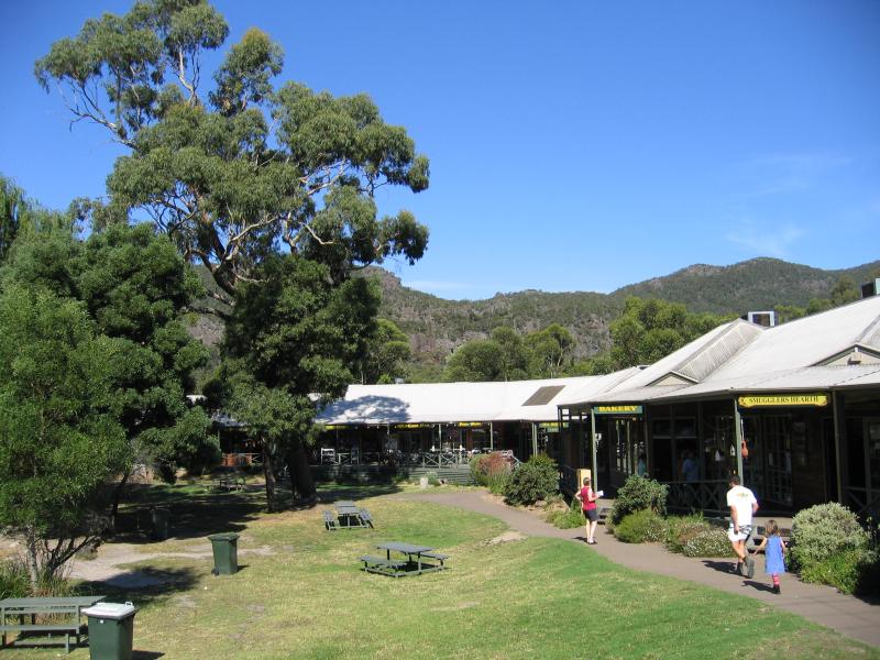
 Commercial centre and shops - Shops along Grampians Rd between Stony Creek and Heath St
 Commercial centre and shops - View south along Grampians Rd between Stony Creek and Heath St
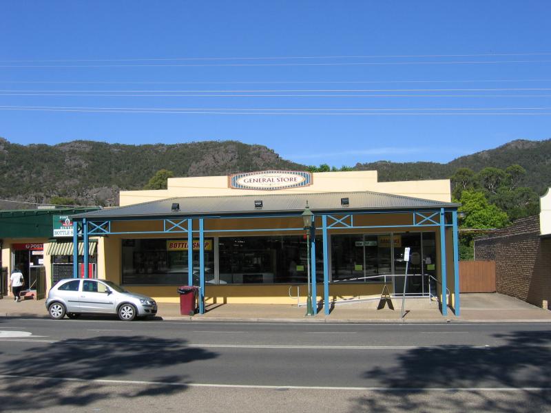 Commercial centre and shops - General Store, Grampians Rd between Stony Creek and Heath St
 Commercial centre and shops - View east across Grampians Rd towards shop from Halls Gap Picnic Reserve
 Commercial centre and shops - Shops, view south along Grampians Rd between Stony Creek and Heath St
 Commercial centre and shops - Shops, view south along Grampians Rd towards Heath St
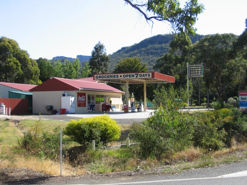
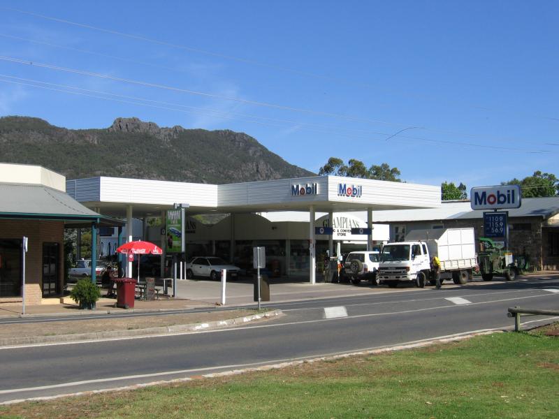 Commercial centre and shops - Petrol station, Grampians Rd north of Heath St
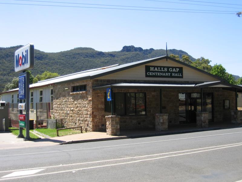 Commercial centre and shops - Hals Gap Centenary Hall, Grampians Rd north of Heath St
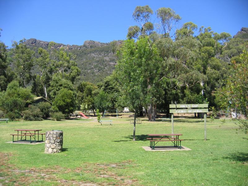 Commercial centre and shops - Halls Gap Picnic Reserve, Grampians Rd
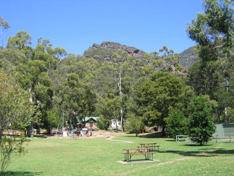 Commercial centre and shops - Halls Gap Picnic Reserve, Grampians Rd
 Commercial centre and shops - Accommodation lining Grampians Rd, view south-east between Rosea St and Glen St
 Grampians Junction area - Grampians Road at Lake Fyans Road - General store, corner Lake Fyans Rd and Grampians Rd
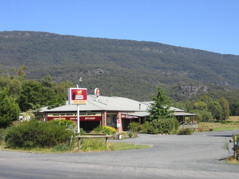 Grampians Junction area - Grampians Road at Lake Fyans Road - Halls Gap Hotel and Family Bistro, corner Grampians Rd and Clematis Dr
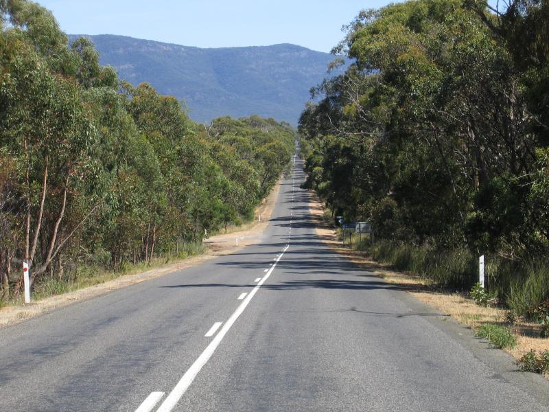
 Pomonal and surroundings, east of Halls Gap - Westerly view towards Grampians from Ararat - Pomonal Road between Moyston and Pomonal
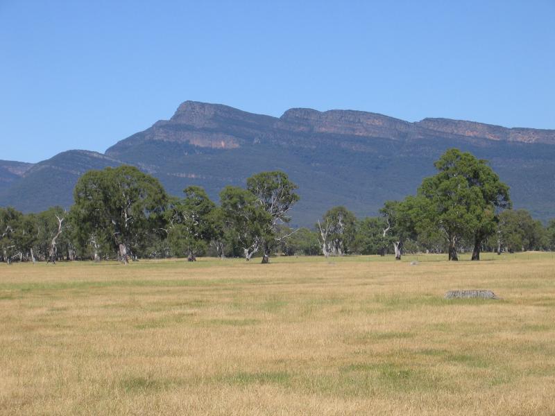 Pomonal and surroundings, east of Halls Gap - View towards Mount William Range from Ararat - Pomonal Road between Moyston and Pomonal
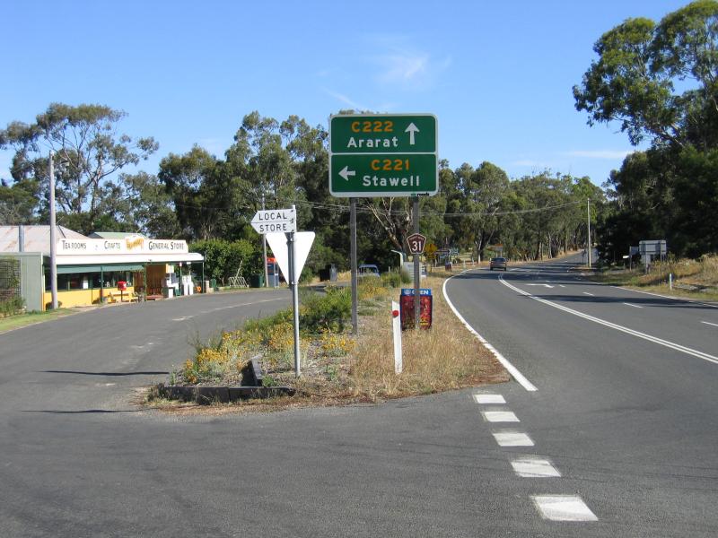 Pomonal and surroundings, east of Halls Gap - General store and tea rooms, Pomonal town centre
 Pomonal and surroundings, east of Halls Gap - View north-west along Lake Fyans Rd, just north of Pomonal
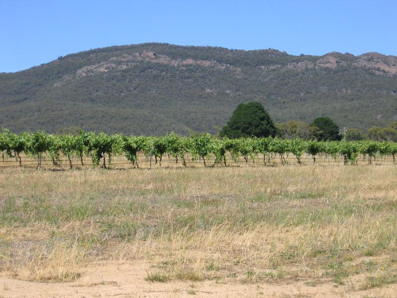 Pomonal and surroundings, east of Halls Gap - The Gap Winery, view west from Lake Fyans Rd
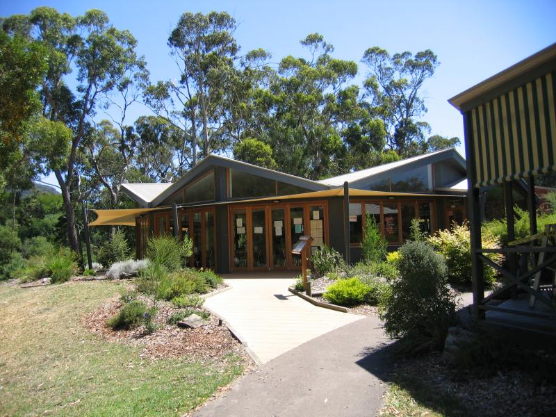
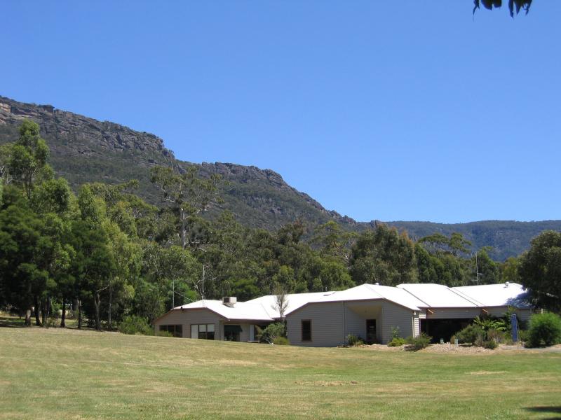 National Park Visitor Centre, Grampians Road - National Park Visitor Centre
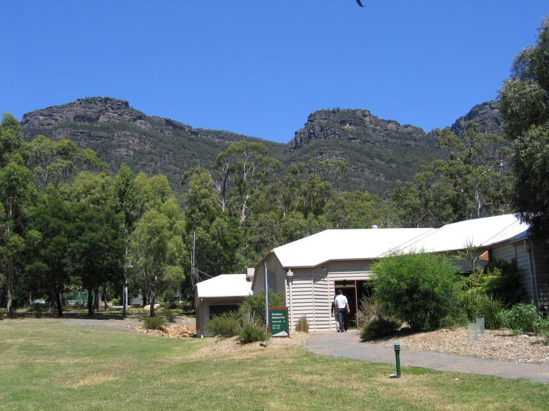 National Park Visitor Centre, Grampians Road - National Park Visitor Centre
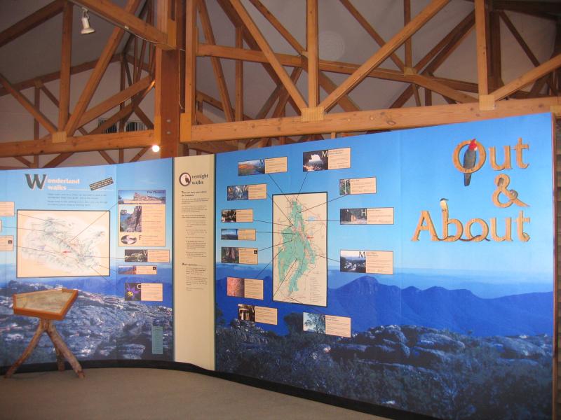 National Park Visitor Centre, Grampians Road - Inside visitor centre
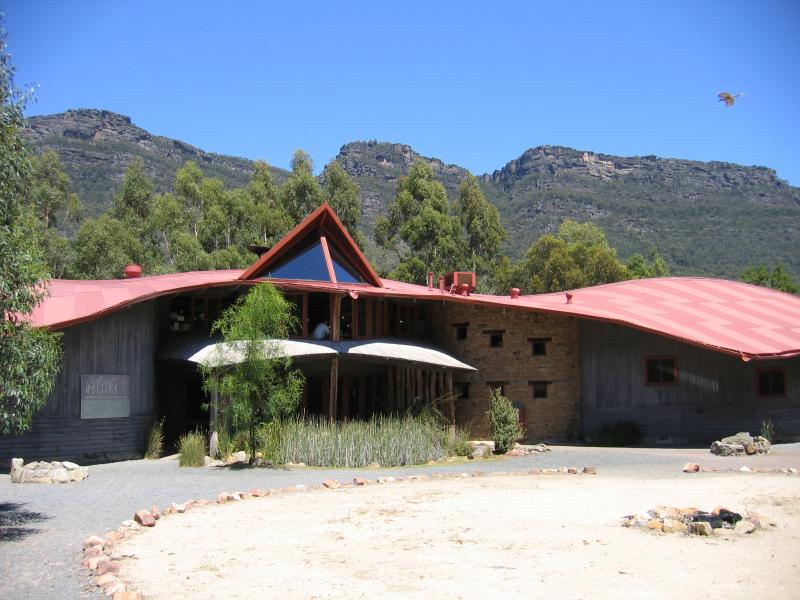 National Park Visitor Centre, Grampians Road - Brambuk Aboriginal Cultural Centre
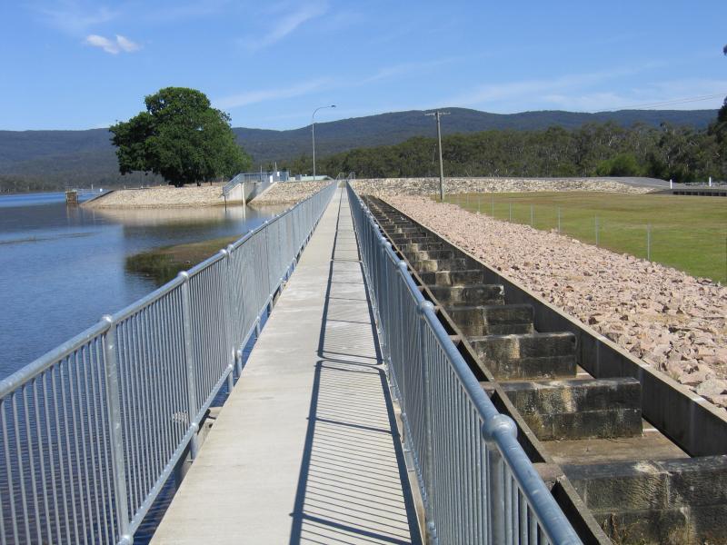
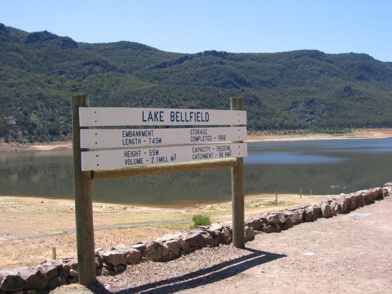 Lake Bellfield, Grampians Road - Lake Bellfield sign at dam wall, northern end of lake
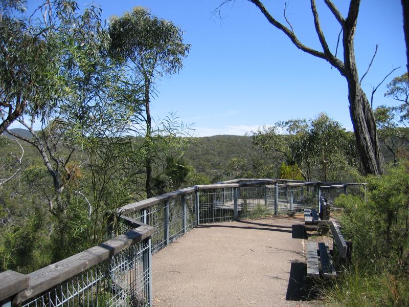
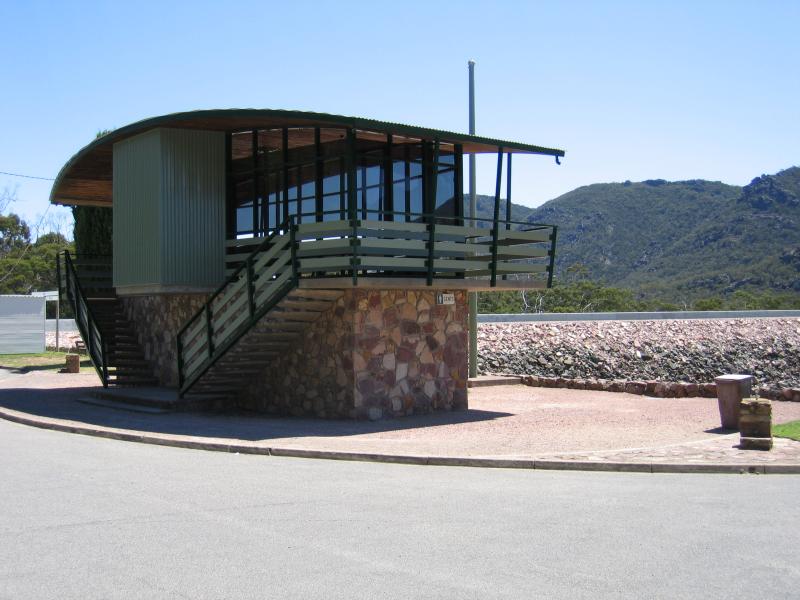 Lake Bellfield, Grampians Road - Viewing platform and toilets at dam wall
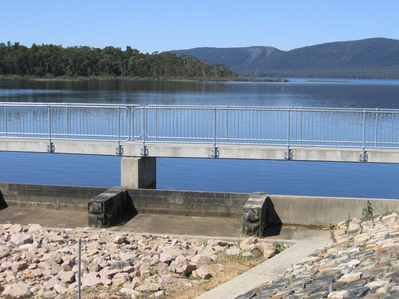
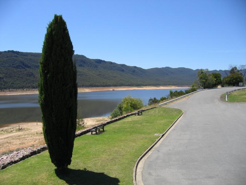 Lake Bellfield, Grampians Road - View south along lake foreshore from viewing platform
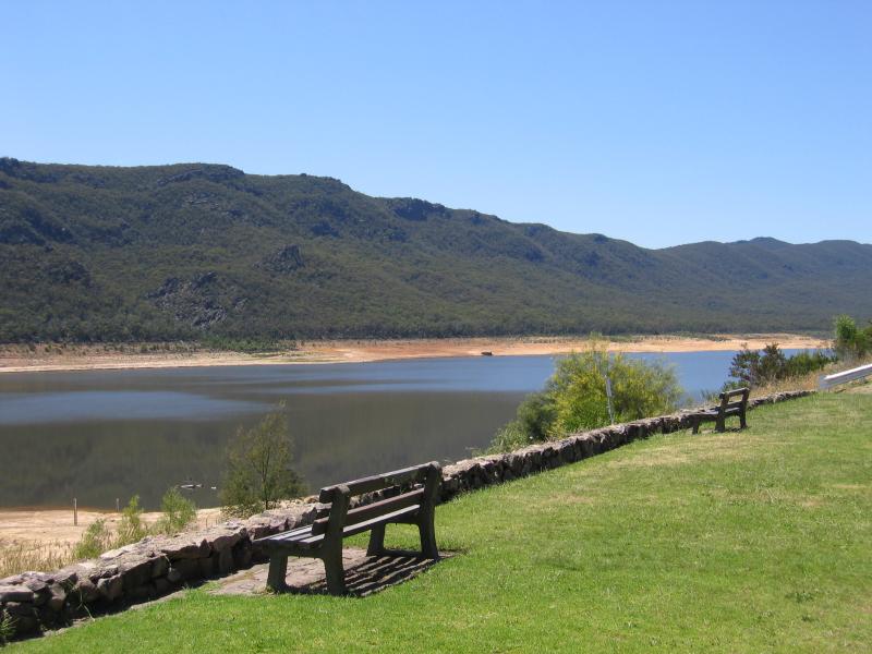 Lake Bellfield, Grampians Road - Lake foreshore near dam wall
 Lake Bellfield, Grampians Road - Picnic area near intersection of Grampians Rd and Silverband Rd
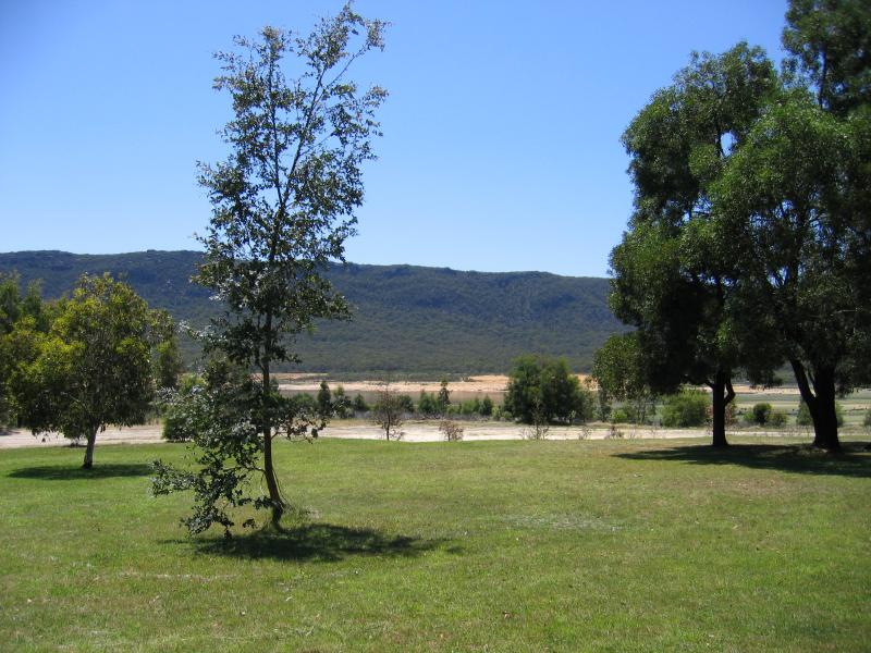
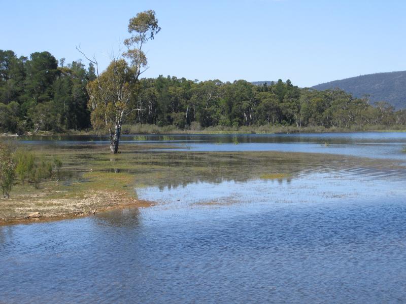
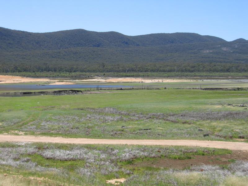 Lake Bellfield, Grampians Road - View across dry part of lake near Silverband Rd
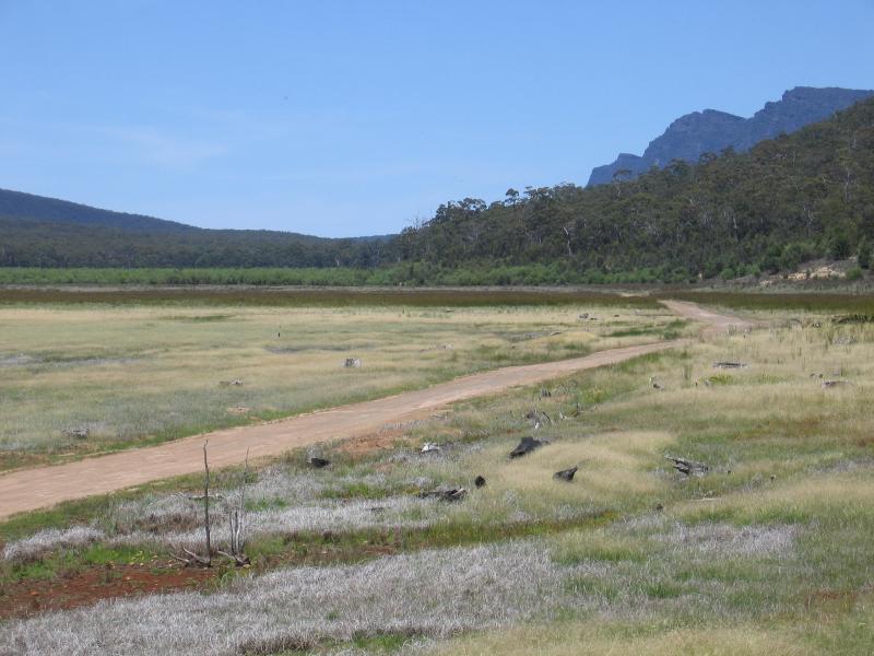 Lake Bellfield, Grampians Road - View across dry part of lake near Silverband Rd
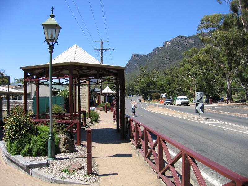
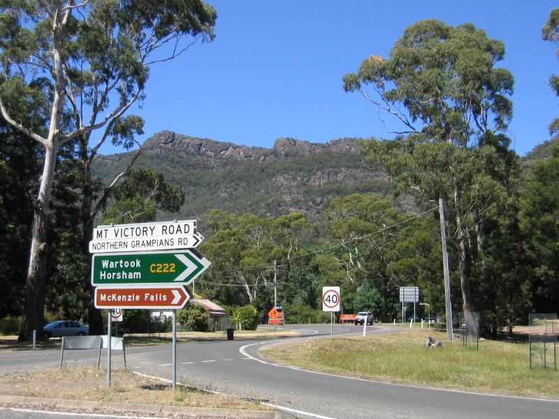 Mount Victory Road - Intersection of Grampians Rd and Mt Victory Rd
 Mount Victory Road - View west along Mt Victory Rd near Grampians Rd
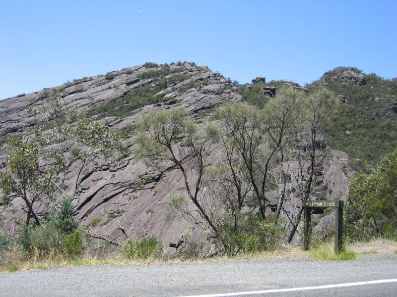 Mount Victory Road - Elephants Hide rock formation, 1.5 km west of Grampians Rd
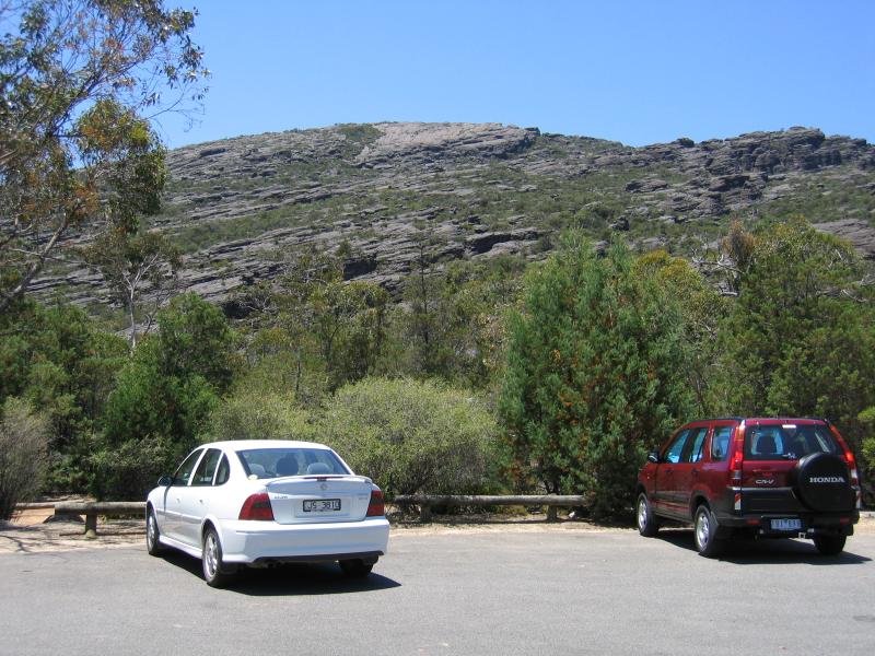 Wonderland Picnic Ground - Car park
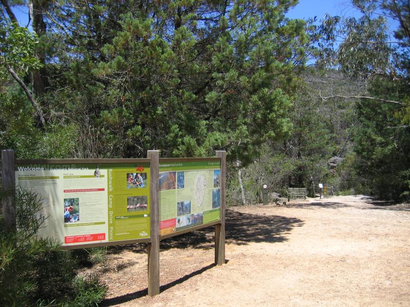 Wonderland Picnic Ground - Walking trails from car park
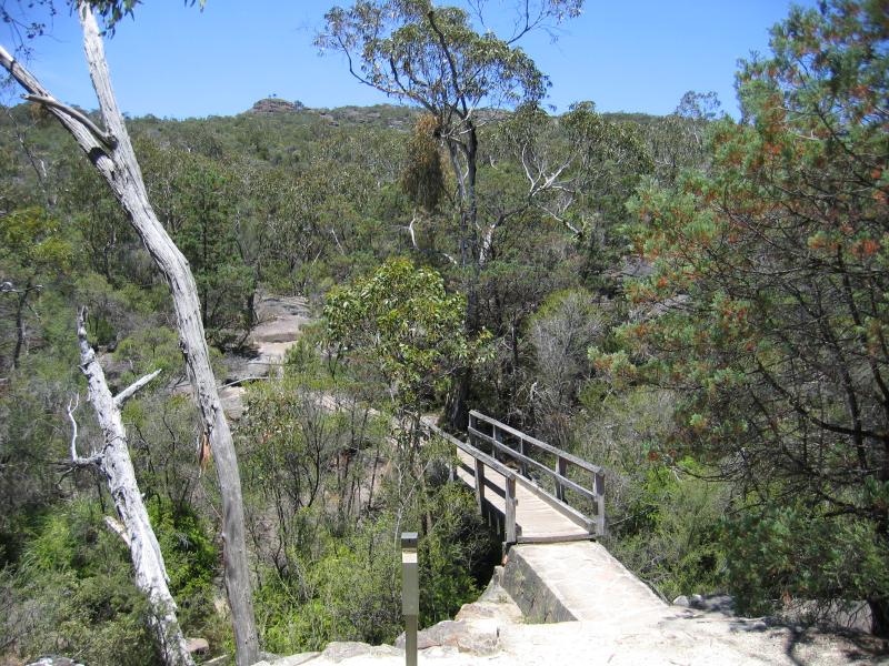 Wonderland Picnic Ground - Bridge over Stony Creek
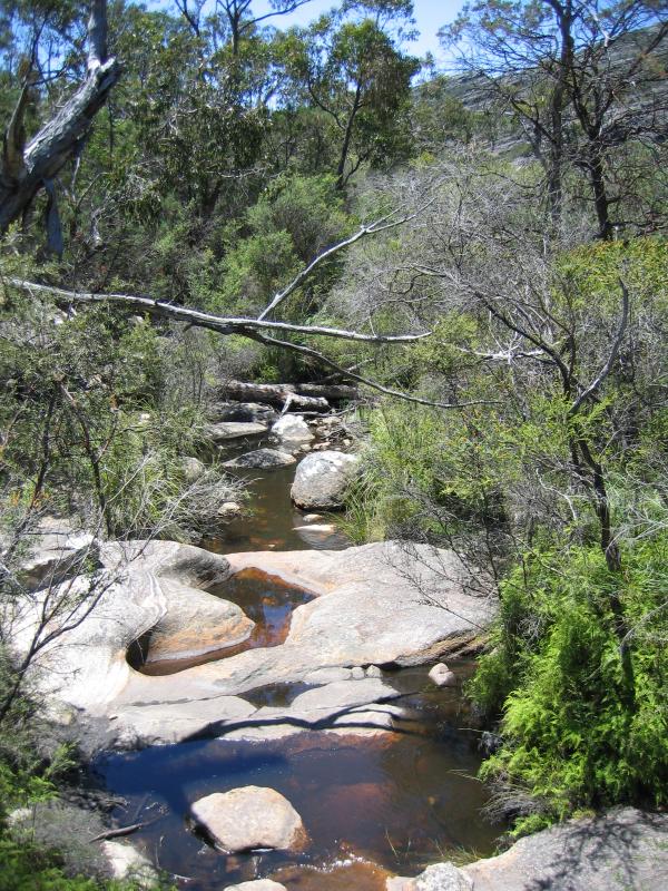 Wonderland Picnic Ground - Stony Creek
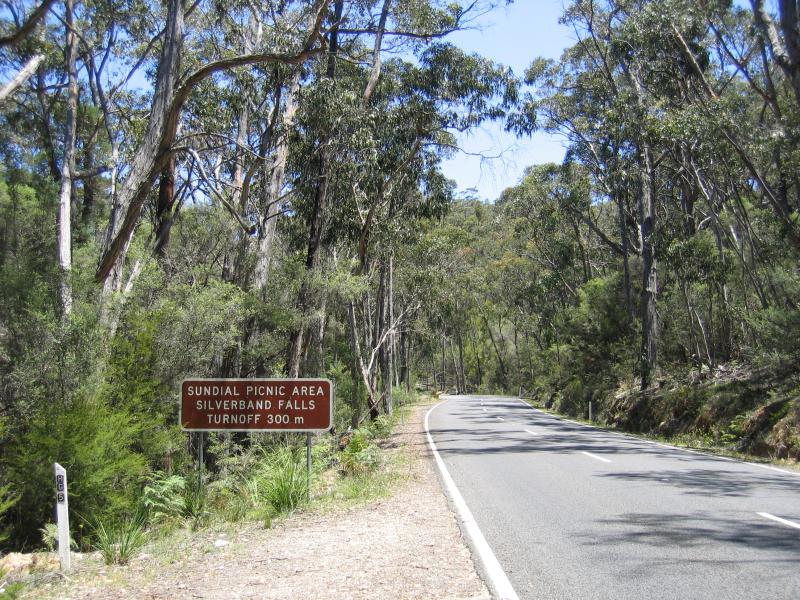 Sundial Picnic Ground - View south along Mt Victory Rd towards Silverband Rd
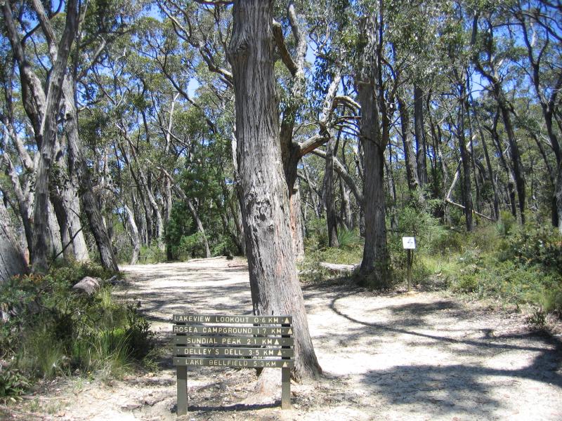 Sundial Picnic Ground - Walking tracks from car park at picnic ground
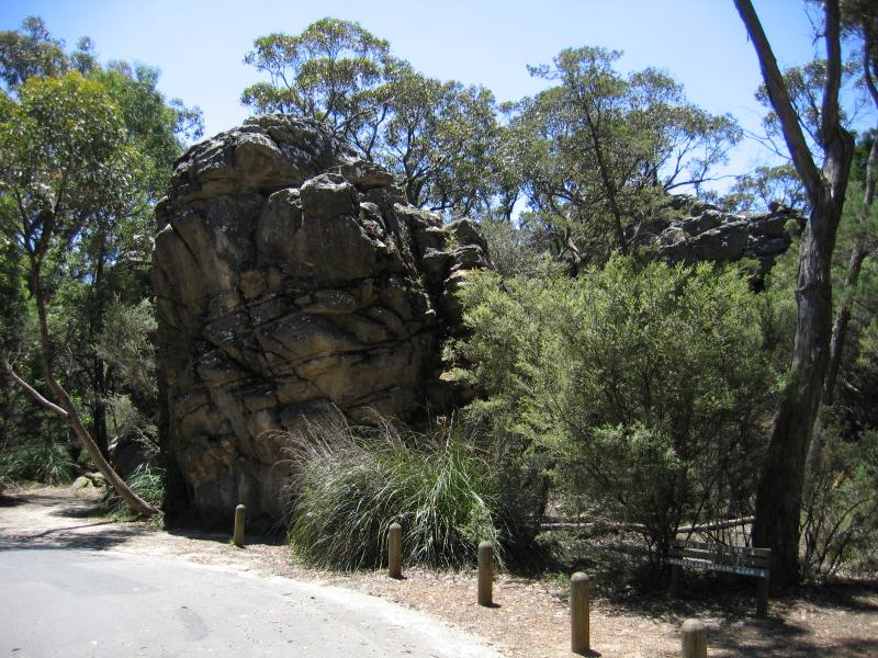 Sundial Picnic Ground - Mushroom rock at car park
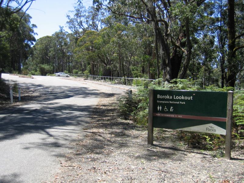 Boroka Lookout, Mount Difficult Road - Entrance to car park
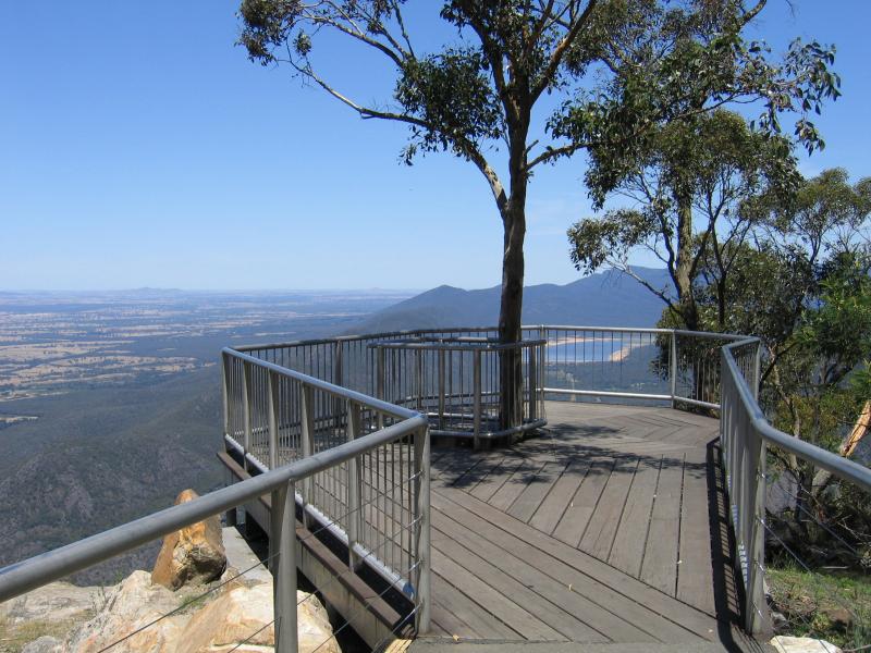
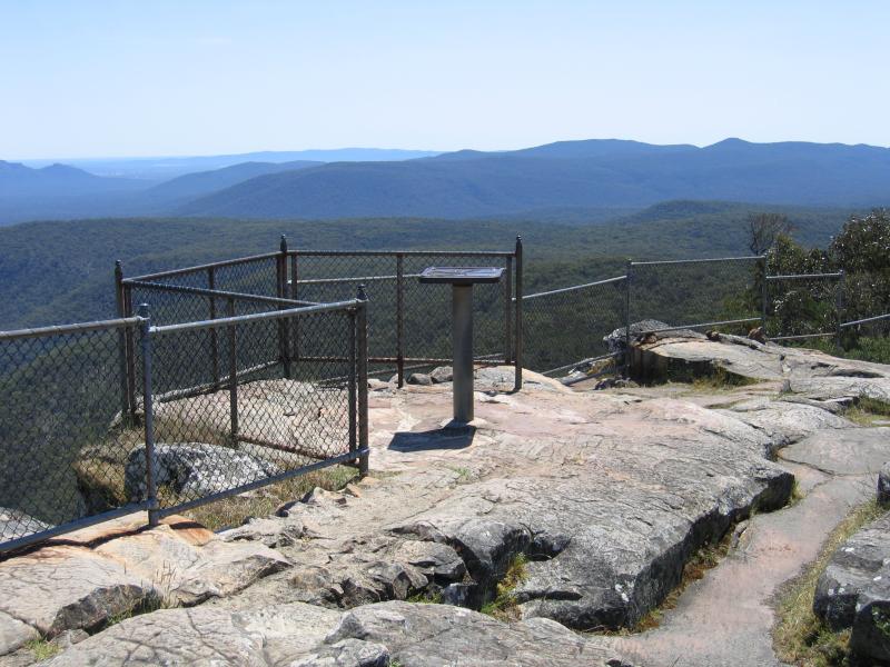
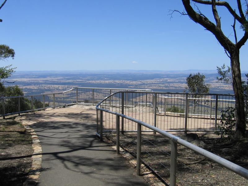 Boroka Lookout, Mount Difficult Road - Viewing platform
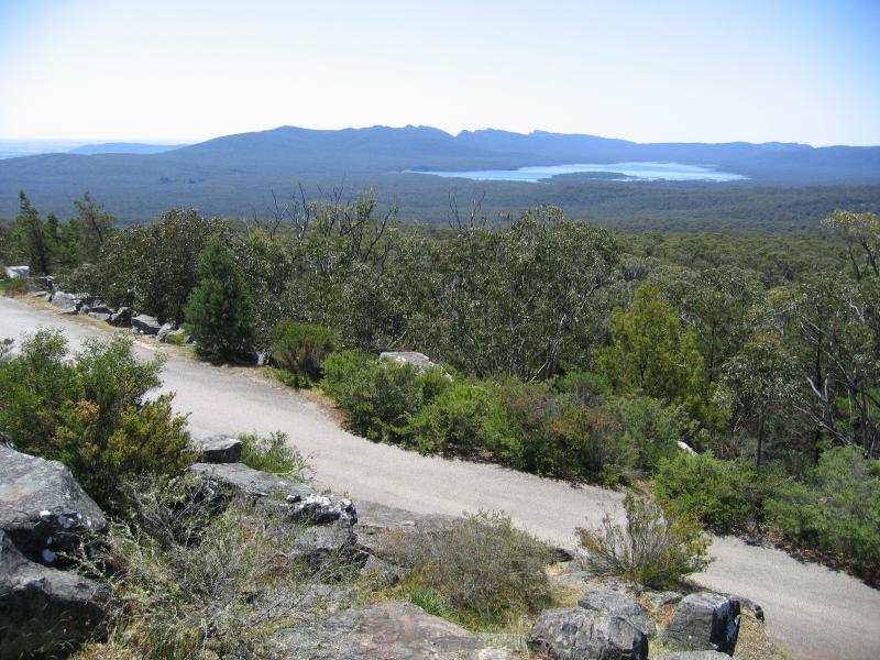
 Boroka Lookout, Mount Difficult Road - View east towards Lake Fyans
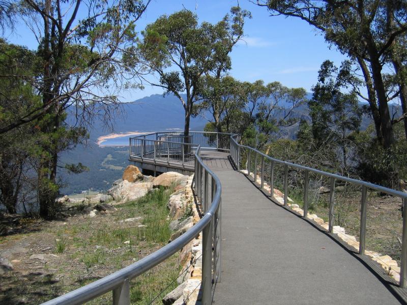 Boroka Lookout, Mount Difficult Road - Viewing platform
 Boroka Lookout, Mount Difficult Road - Viewing platform with Lake Bellfield in background
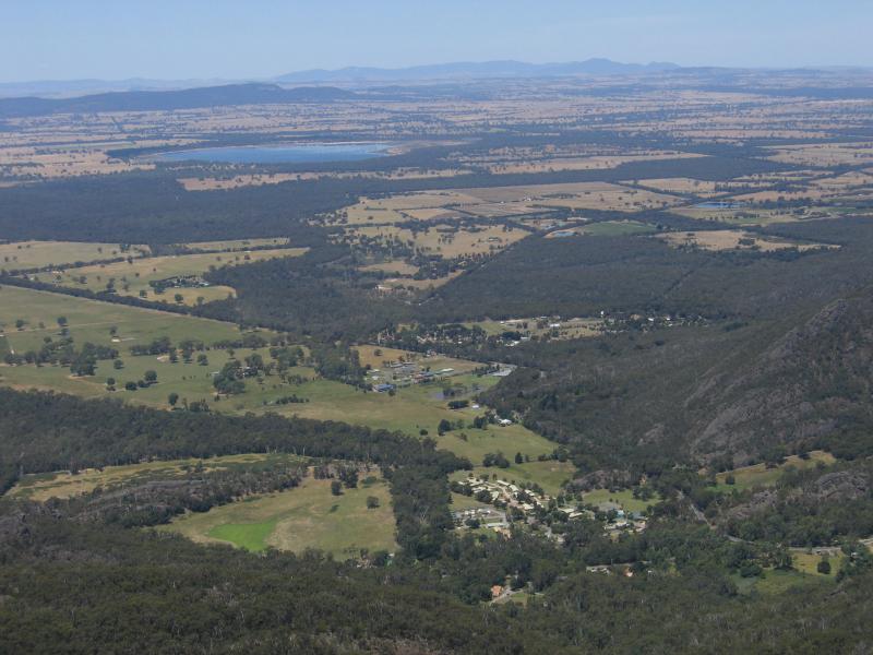
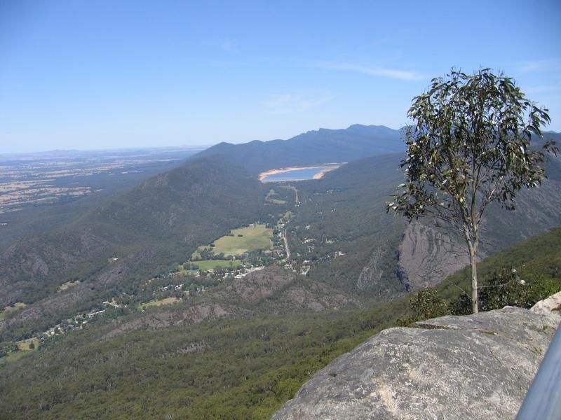 Boroka Lookout, Mount Difficult Road - View south to Halls Gap town centre and Lake Bellfield
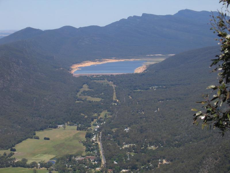 Boroka Lookout, Mount Difficult Road - View south to Lake Bellfield
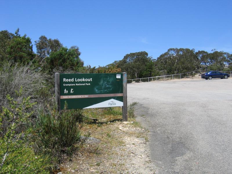 Reed Lookout, Mount Victory Road - Car park entrance
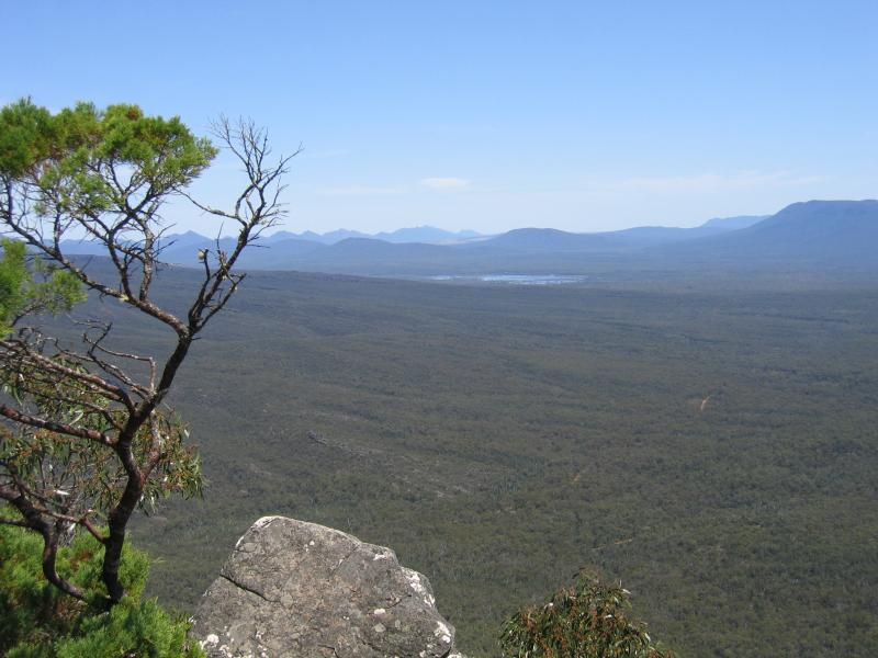
 Reed Lookout, Mount Victory Road - Westerly views
 Reed Lookout, Mount Victory Road - View south towards Moora Moora Reservoir
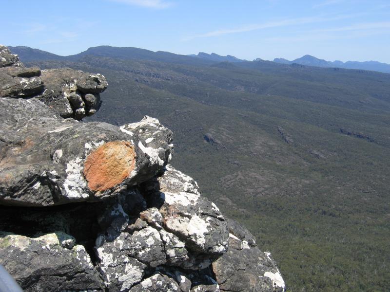 Reed Lookout, Mount Victory Road - View of mountain range
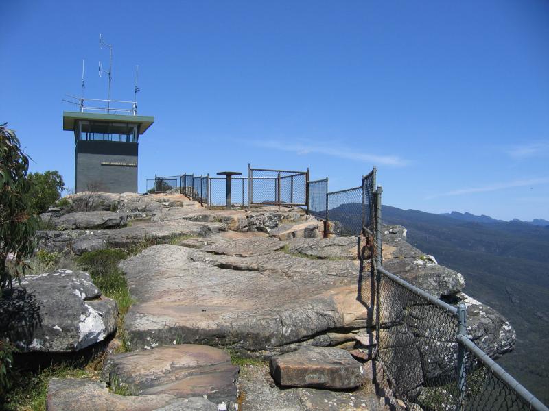 Reed Lookout, Mount Victory Road - Fire lookout tower
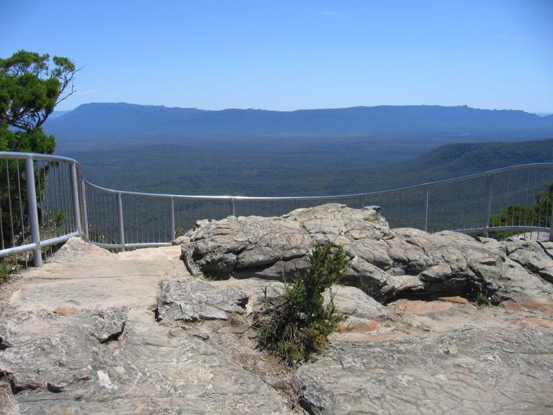
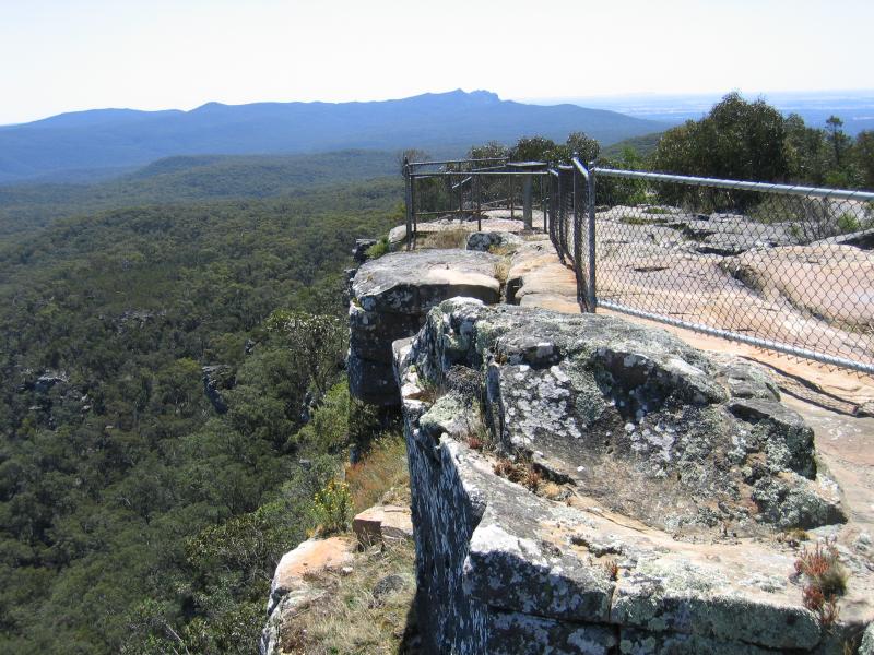 Reed Lookout, Mount Victory Road - Rocky ledges new fire lookout tower
 Reed Lookout, Mount Victory Road - Rocky ledges new fire lookout tower
 Reed Lookout, Mount Victory Road - View north towards Lake Wartook
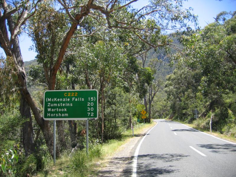
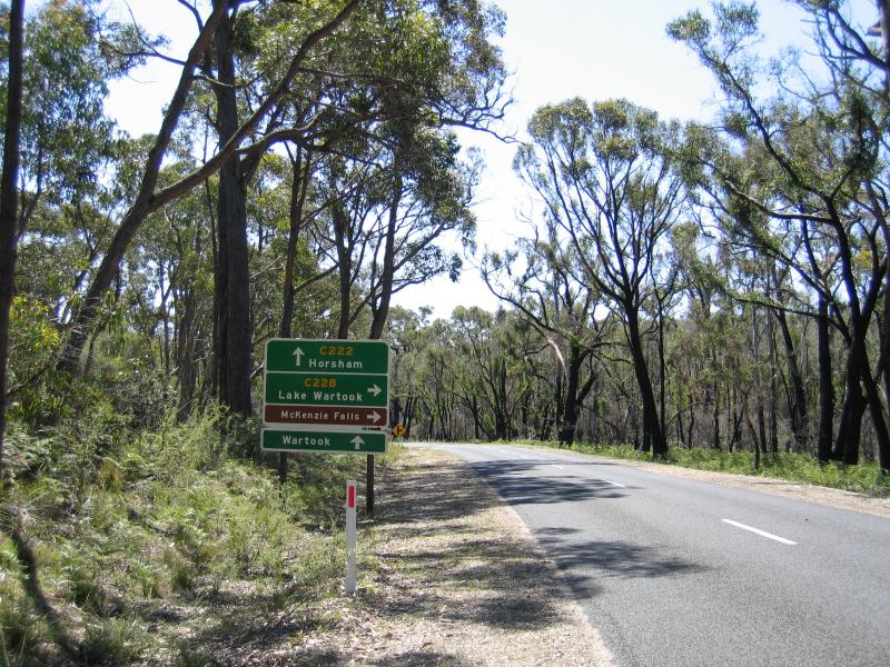 MacKenzie Falls - View north-west along Northern Grampians Rd towards Wartook Rd
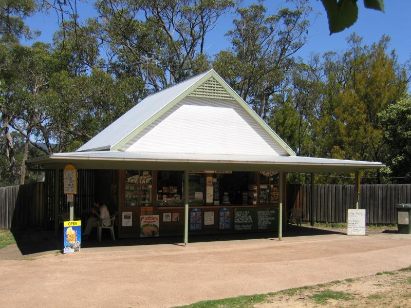 MacKenzie Falls - Kiosk at car park
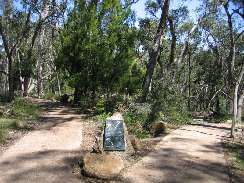 MacKenzie Falls - Walking track to Broken Falls and MacKenzie Falls
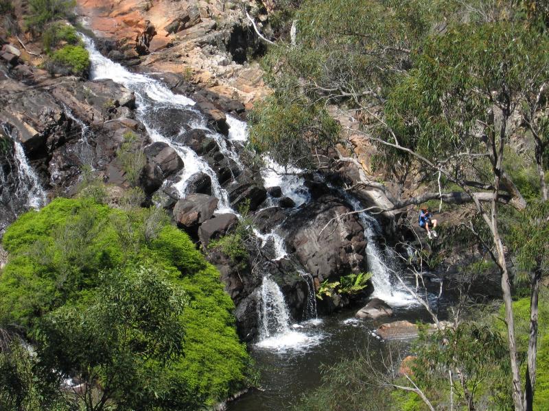 MacKenzie Falls - Broken Falls
 MacKenzie Falls - Broken Falls
 MacKenzie Falls - MacKenzie Falls lookout
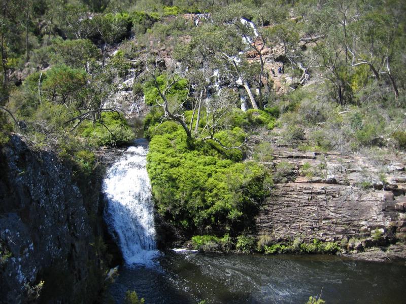
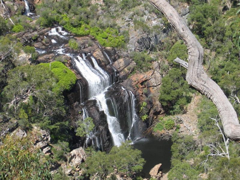 MacKenzie Falls - View of MacKenzie Falls from lookout
 Lake Wartook - Dam wall
 Lake Wartook - View across lake from dam wall
 Lake Wartook - Lake
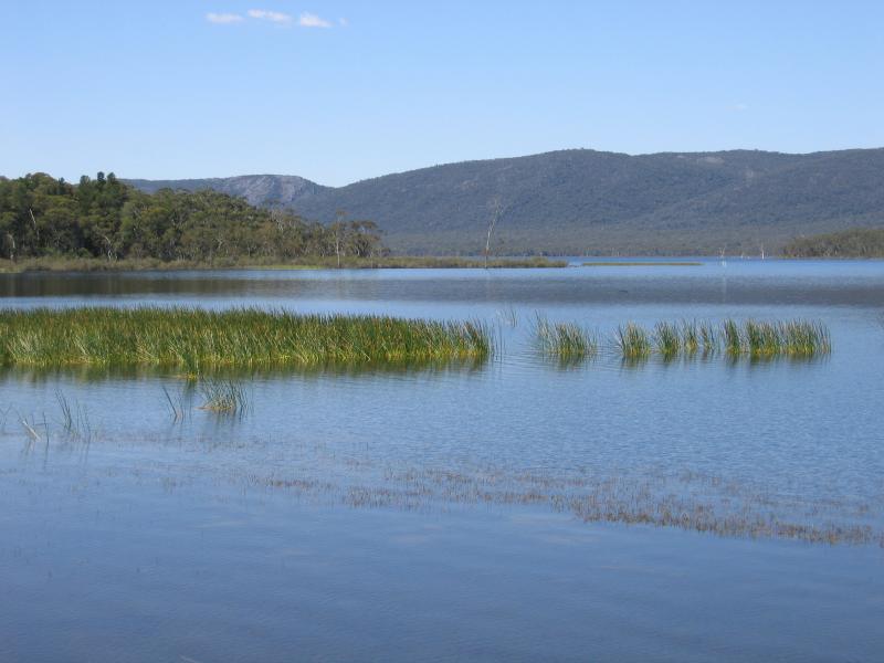 Lake Wartook - Lake