Harrietville - public transport
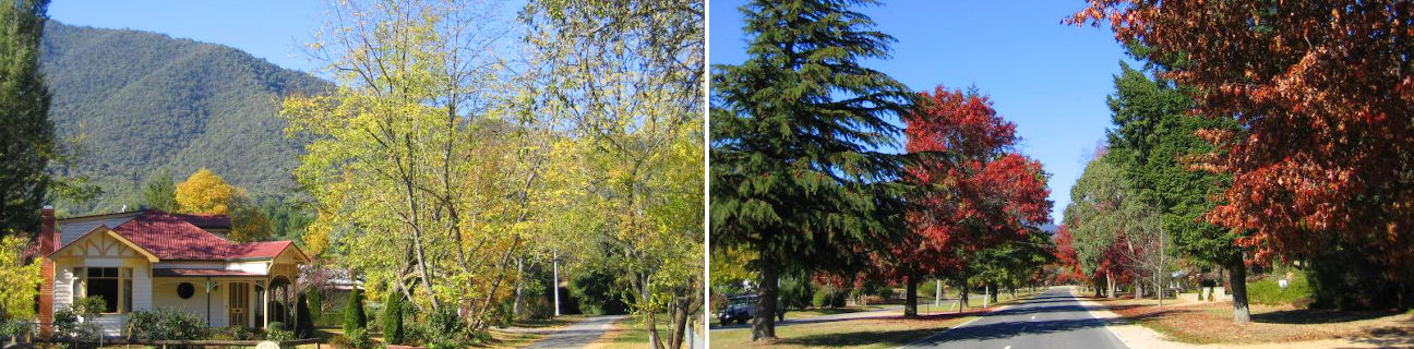
Harrietville
Stay
See and do
Food and drink
Shopping
Getting around
Visitor information
Train
Wangaratta station
(101 km away)
| Line | Operator | Timetable and stops | Map |
|---|---|---|---|
| Albury - Wodonga |  |
Albury (NSW) - Melbourne Via Albury (NSW), Wodonga, Chiltern, Springhurst, Wangaratta, Benalla, Violet Town, Euroa, Avenel, Seymour, Broadmeadows, Essendon, North Melbourne, Southern Cross |
|
| Southern XPT |  |
Melbourne to Sydney Via Southern Cross, Broadmeadows, Seymour, Benalla, Wangaratta, Albury (NSW), Culcairn (NSW), Henty (NSW), The Rock (NSW), Wagga Wagga (NSW), Junee (NSW), Cootamundra(NSW), Harden (NSW), Yass Junction (NSW), Gunning (NSW), Goulburn (NSW), Moss Vale (NSW), Campbelltown (NSW), Sydney (NSW) |
Wodonga station
(122 km away)
| Line | Operator | Timetable and stops | Map |
|---|---|---|---|
| Albury - Wodonga | |
Albury (NSW) - Melbourne Via Albury (NSW), Wodonga, Chiltern, Springhurst, Wangaratta, Benalla, Violet Town, Euroa, Avenel, Seymour, Broadmeadows, Essendon, North Melbourne, Southern Cross |
Bus
| Route | Operator | Timetable | Map |
|---|---|---|---|
| Omeo to Bright Via Dinner Plain, Mount Hotham, Harrietville |
Dysons Bairnsdale | ||
| Melbourne to Dinner Plain (snow season only) Via Southern Cross station, Melbourne Airport, Wangaratta station, Myrtleford, Bright, Harrietville, Mount Hotham |
Hotham Bus |