Hepburn Springs - public transport
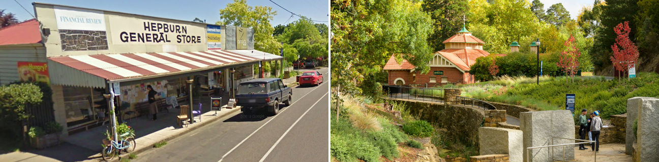
Hepburn Springs
Stay
See and do
Food and drink
Shopping
Getting around
Visitor information
Train
Creswick station
(33 km away)
| Line | Operator | Timetable and stops | Map |
|---|---|---|---|
| Maryborough |  |
Maryborough - Melbourne Via Maryborough, Talbot, Clunes, Creswick, Ballarat |
Castlemaine station
(34 km away)
| Line | Operator | Timetable and stops | Map |
|---|---|---|---|
| Bendigo | |
Bendigo - Melbourne Via Epsom or Eaglehawk, Bendigo, Kangaroo Flat, Castlemaine, Malmsbury, Kyneton, Woodend, Macedon, Gisborne, Riddells Creek, Clarkefield, Sunbury, Watergardens, Footscray, Southern Cross |
|
| Echuca | |
Echuca - Melbourne Via Echuca, Rochester, Elmore, Goornong, Huntly, Epsom, Bendigo, Kangaroo Flat, Castlemaine, Malmsbury, Kyneton, Woodend, Macedon, Gisborne, Riddells Creek, Clarkefield, Sunbury, Footscray, Southern Cross |
|
| Swan Hill | |
Swan Hill - Melbourne Via Swan Hill, Kerang, Pyramid, Dingee, Raywood, Eaglehawk, Bendigo, Kangaroo Flat, Castlemaine, Malmsbury, Kyneton, Woodend, Gisborne, Watergardens, Footscray, Southern Cross |
Ballan station
(37 km away)
| Line | Operator | Timetable and stops | Map |
|---|---|---|---|
| Ballarat | |
Ballarat - Melbourne Via Wendouree, Ballarat, Ballan, Bacchus Marsh, Melton, Cobblebank, Rockbank, Caroline Springs, Deer Park, Ardeer, Sunshine, Footscray, Southern Cross |
|
| Ararat | |
Ararat - Melbourne Via Ararat, Beaufort, Wendouree, Ballarat, Ballan, Bacchus Marsh, Melton, Cobblebank, Rockbank, Caroline Springs, Deer Park, Ardeer, Sunshine, Footscray, Southern Cross |
Bus
| Route | Operator | Timetable | Map |
|---|---|---|---|
| Daylesford to Hepburn Springs | Littles Bus Lines | ||
| Hepburn Springs to Creswick Via Daylesford, Newlyn |
Littles Bus Lines | ||
| Ballan to Hepburn Springs Via Ballan station, Sailors Falls, Musk Vale, Daylesford |
Christian's |
Taxi
| Operator | Areas covered | Phone |
|---|---|---|
| Daylesford Taxi Service | Daylesford, Hepburn Springs | (03) 5348 1111 |