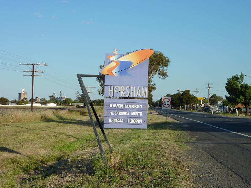
Horsham - photos
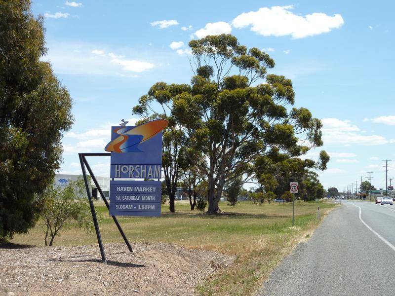
Horsham
Stay
See and do
Food and drink
Shopping
Getting around
Visitor information
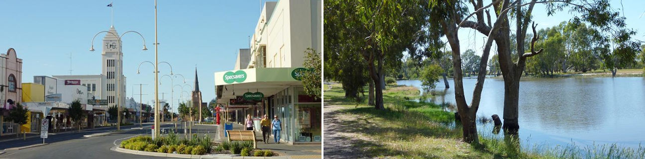
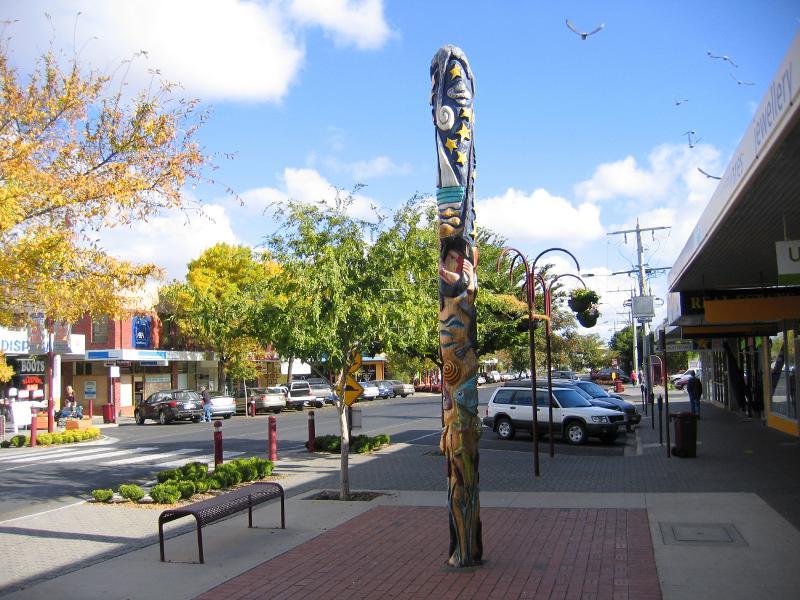
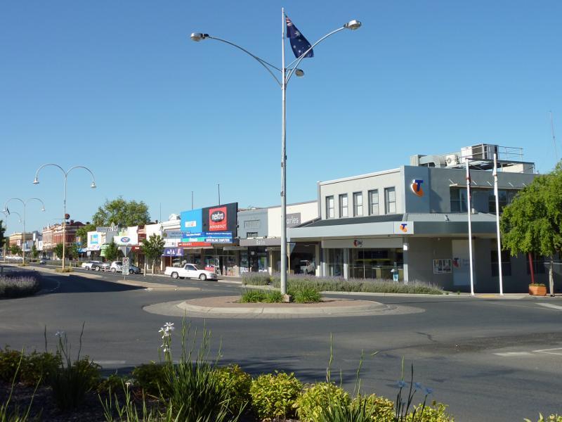
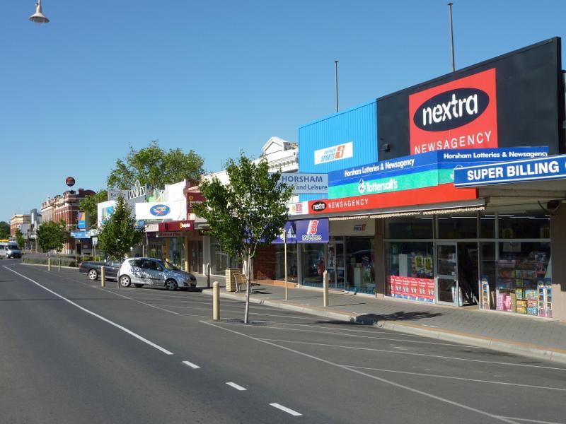
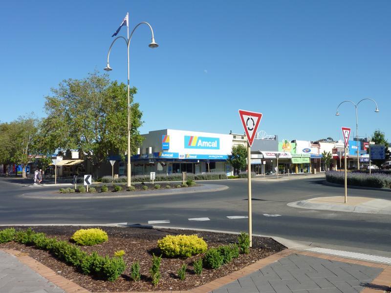
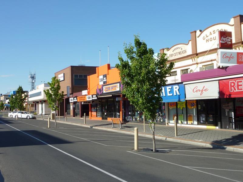
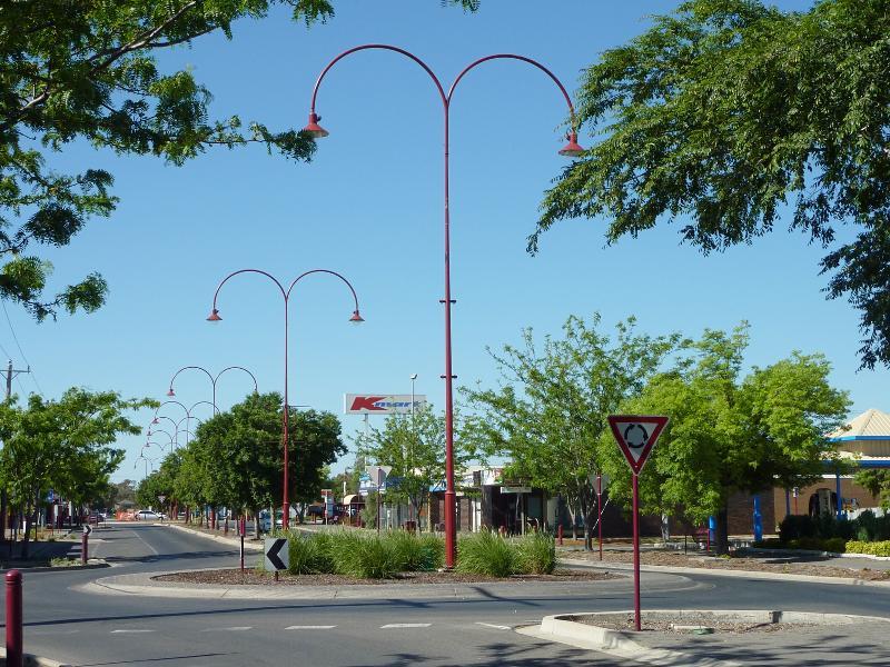
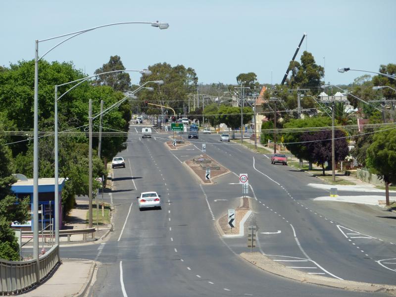
 Shops and commercial Centre, Firebrace Street and adjoining streets - View south towards Firebrace St from Baillie St
 Shops and commercial Centre, Firebrace Street and adjoining streets - View south along Firebrace St at Baillie St
 Shops and commercial Centre, Firebrace Street and adjoining streets - View north along Firebrace St towards Baillie St
 Shops and commercial Centre, Firebrace Street and adjoining streets - View south along Firebrace St between Baillie St and McLachlan St
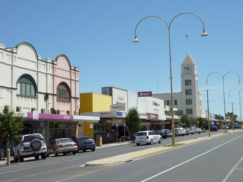
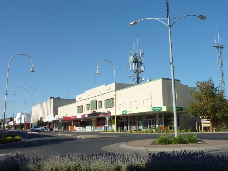
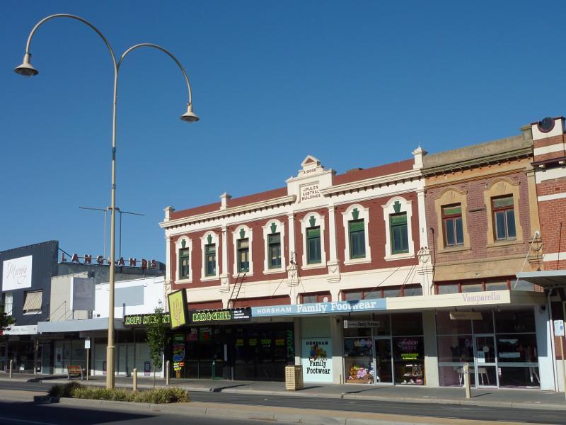
 Shops and commercial Centre, Firebrace Street and adjoining streets - View south along Firebrace St towards McLachlan St
 Shops and commercial Centre, Firebrace Street and adjoining streets - View south along Firebrace St towards McLachlan St
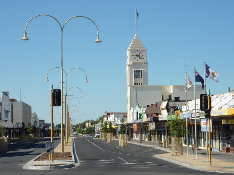
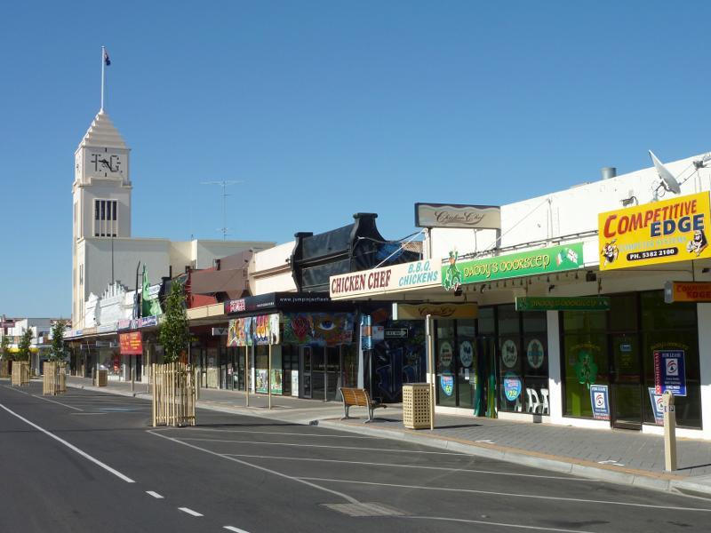
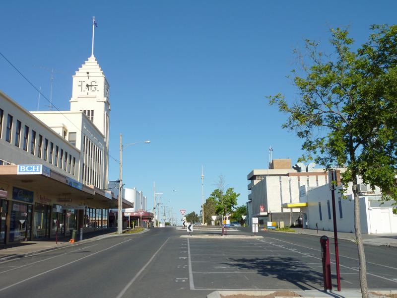
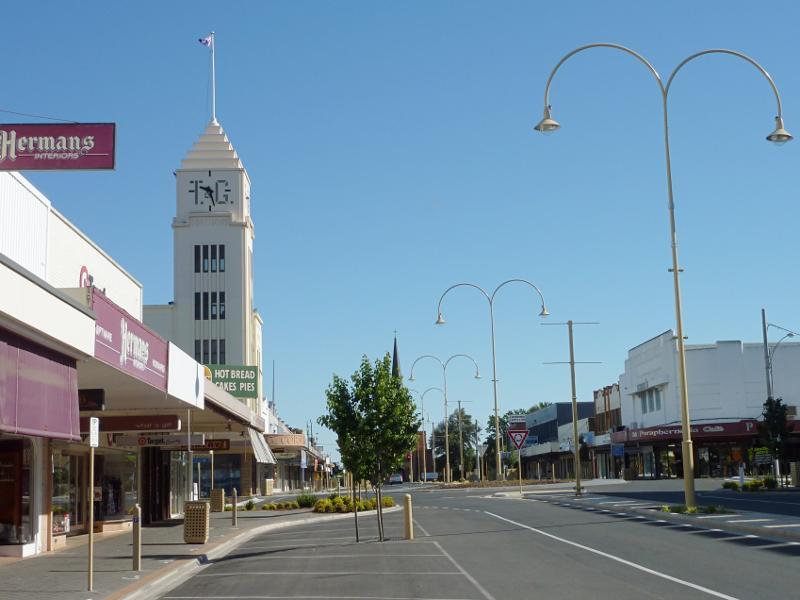
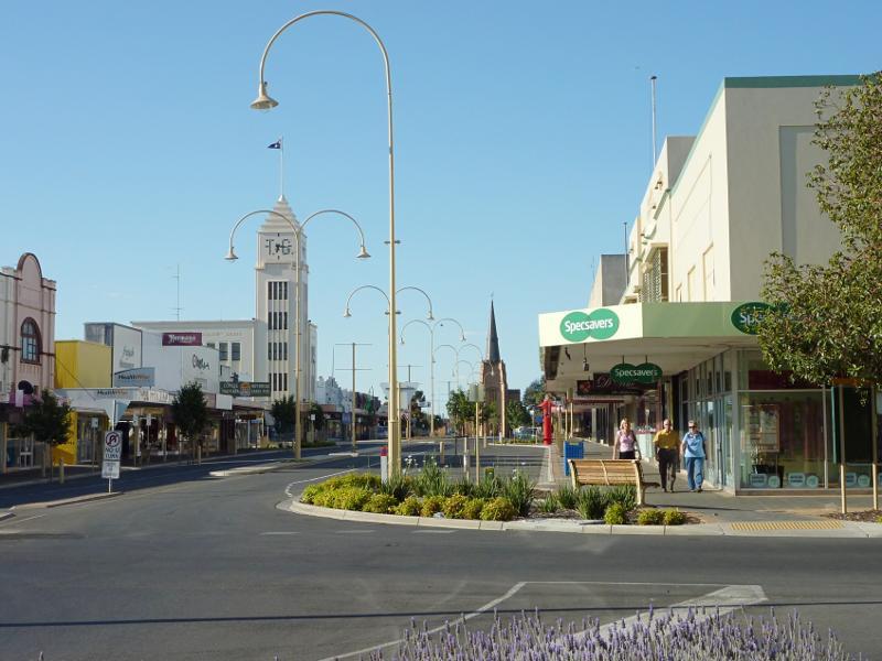
 Shops and commercial Centre, Firebrace Street and adjoining streets - View south along Firebrace St towards T&G Building and McLachlan St
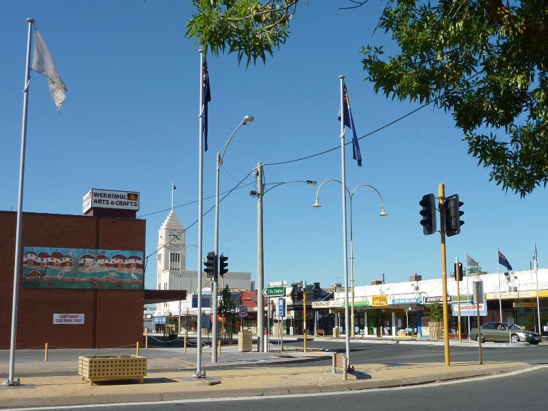
 Shops and commercial Centre, Firebrace Street and adjoining streets - View east along McLachlan St towards Firebrace St
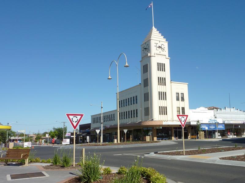 Shops and commercial Centre, Firebrace Street and adjoining streets - T&G Building, corner Firebrace St and McLachlan St
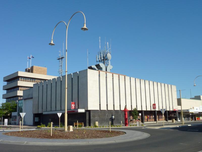 Shops and commercial Centre, Firebrace Street and adjoining streets - Post office, corner Firebrace St and McLachlan St
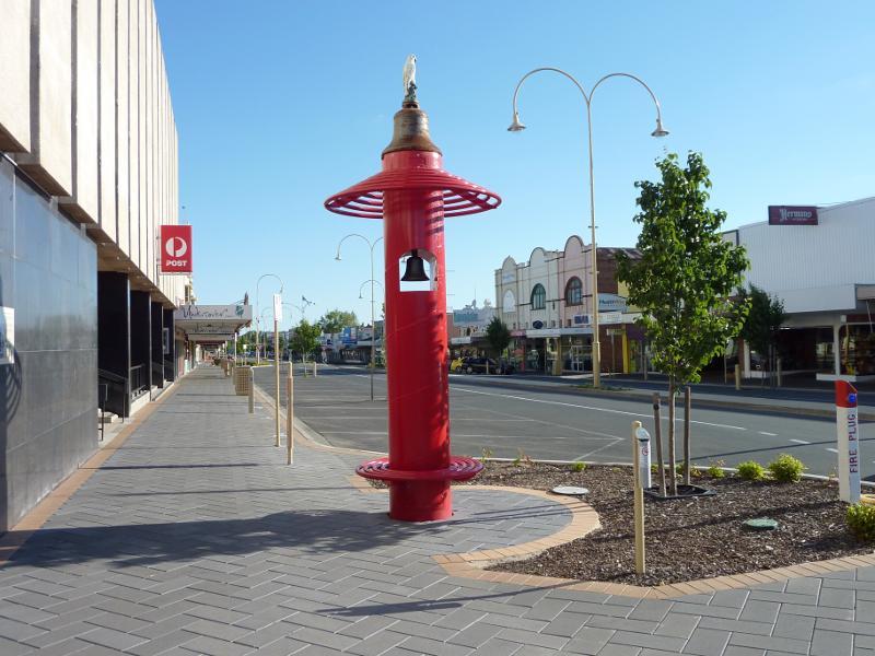 Shops and commercial Centre, Firebrace Street and adjoining streets - View south along Firebrace St at post office
 Shops and commercial Centre, Firebrace Street and adjoining streets - View north along Firebrace St towards McLachlan St
 Shops and commercial Centre, Firebrace Street and adjoining streets - View north along Firebrace St towards McLachlan St
 Shops and commercial Centre, Firebrace Street and adjoining streets - View north along Firebrace St at Roberts Av
 Shops and commercial Centre, Firebrace Street and adjoining streets - View north along Firebrace St at Roberts Av
 Shops and commercial Centre, Firebrace Street and adjoining streets - View north along Firebrace St at Roberts Av
 Shops and commercial Centre, Firebrace Street and adjoining streets - Corner of Firebrace St and Roberts Av
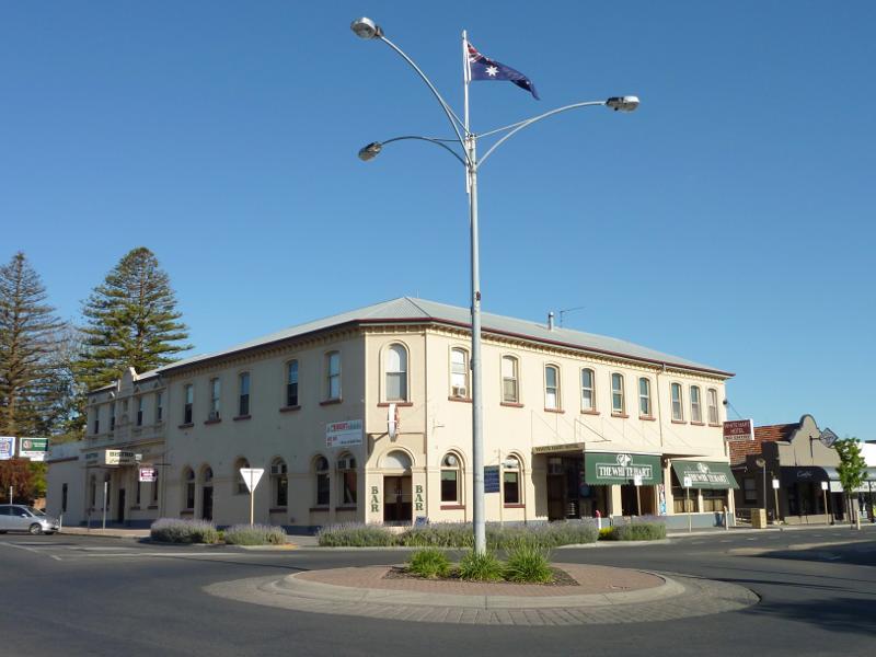 Shops and commercial Centre, Firebrace Street and adjoining streets - The White Hart Hotel, corner Firebrace St and Roberts Av
 Shops and commercial Centre, Firebrace Street and adjoining streets - Southern side of Roberts Av, west of Firebrace St
 Shops and commercial Centre, Firebrace Street and adjoining streets - View west along Roberts Av between Firebrace St and Darlot St
 Shops and commercial Centre, Firebrace Street and adjoining streets - View south along Firebrace St at Roberts Av
 Shops and commercial Centre, Firebrace Street and adjoining streets - View south along Firebrace St between Roberts Av and Pynsent St
 Shops and commercial Centre, Firebrace Street and adjoining streets - Corner of Firebrace St and Pynsent St
 Shops and commercial Centre, Firebrace Street and adjoining streets - View west along Pynsent St towards Firebrace St
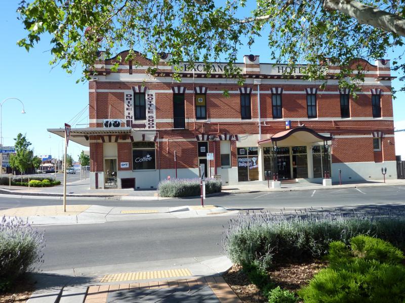 Shops and commercial Centre, Firebrace Street and adjoining streets - Exchange Hotel, corner Firebrace St and Pynsent St
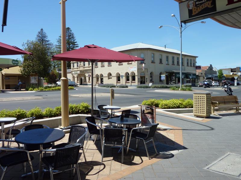
 Shops and commercial Centre, Firebrace Street and adjoining streets - View south along Firebrace St at Pynsent St
 Shops and commercial Centre, Firebrace Street and adjoining streets - West side of Firebrace St south of Pynsent St
 Shops and commercial Centre, Firebrace Street and adjoining streets - View north along Firebrace St between Wilson St and Pynsent St
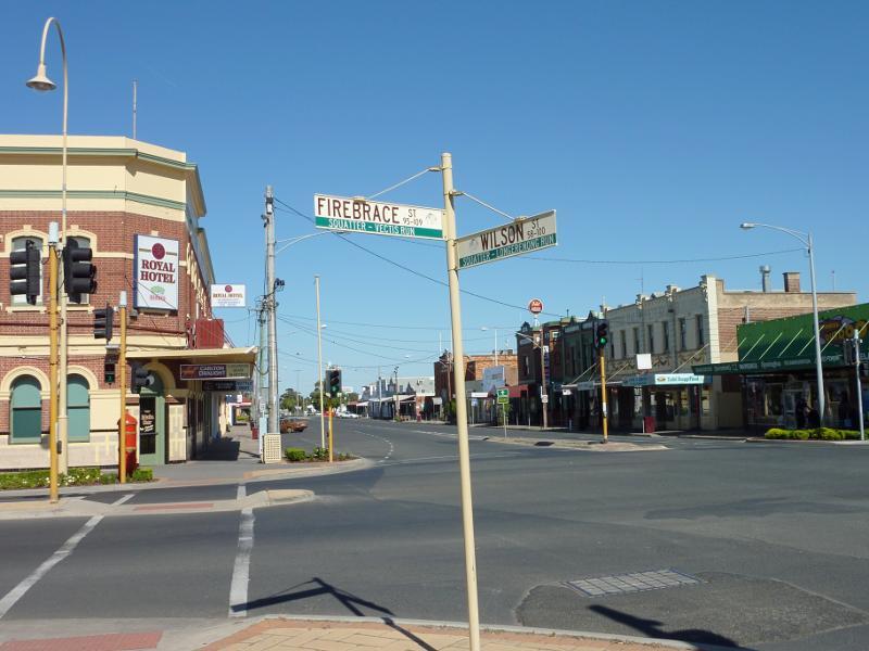
 Shops and commercial Centre, Firebrace Street and adjoining streets - View north along Firebrace St at Wilson St
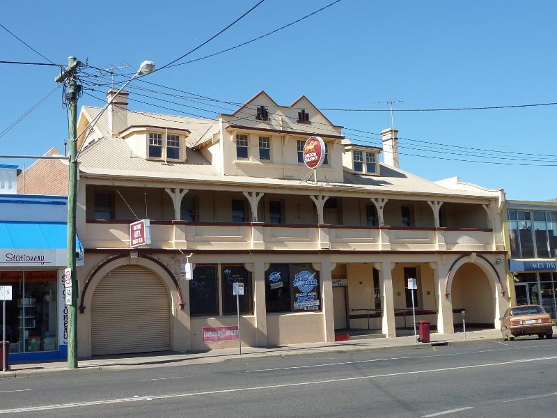
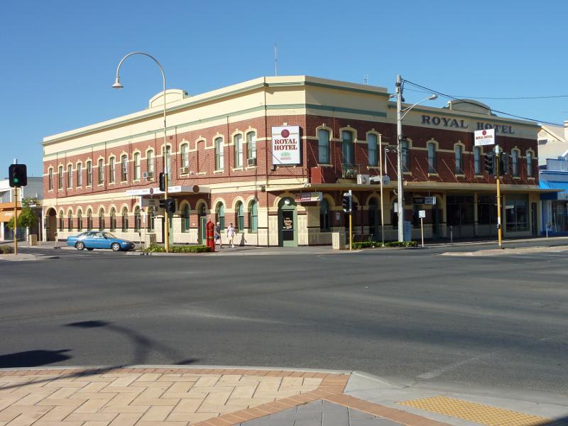 Shops and commercial Centre, Firebrace Street and adjoining streets - Royal Hotel, corner Firebrace St and Wilson St
 Shops and commercial Centre, Firebrace Street and adjoining streets - View west along Wilson St at Firebrace St
 Shops and commercial Centre, Firebrace Street and adjoining streets - North side of Wilson St, west of Firebrace St
 Shops and commercial Centre, Firebrace Street and adjoining streets - Wilsons Hotel, south side of Wilson St, west of Firebrace St
 Shops and commercial Centre, Firebrace Street and adjoining streets - View north along Firebrace St at Hamilton St
 Shops and commercial Centre, Firebrace Street and adjoining streets - View west along Hamilton St, west of Firebrace St
 Darlot Street - View south along Darlot St towards McLachlan St
 Darlot Street - View south along Darlot St towards Roberts Av
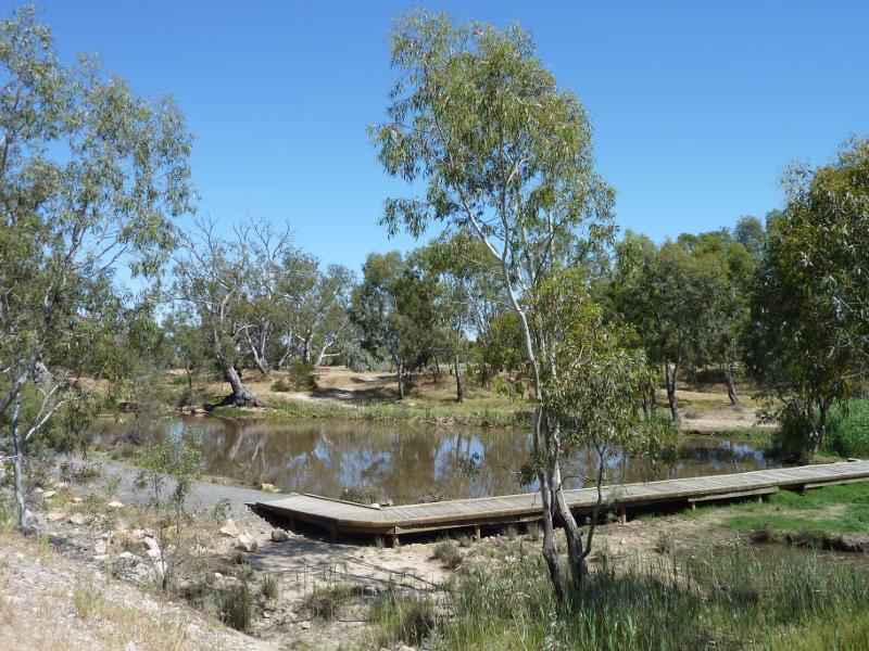
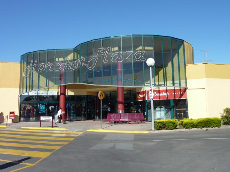 Darlot Street - Entrance to Horsham Plaza Shopping Centre, Darlot St opposite Pynsent St
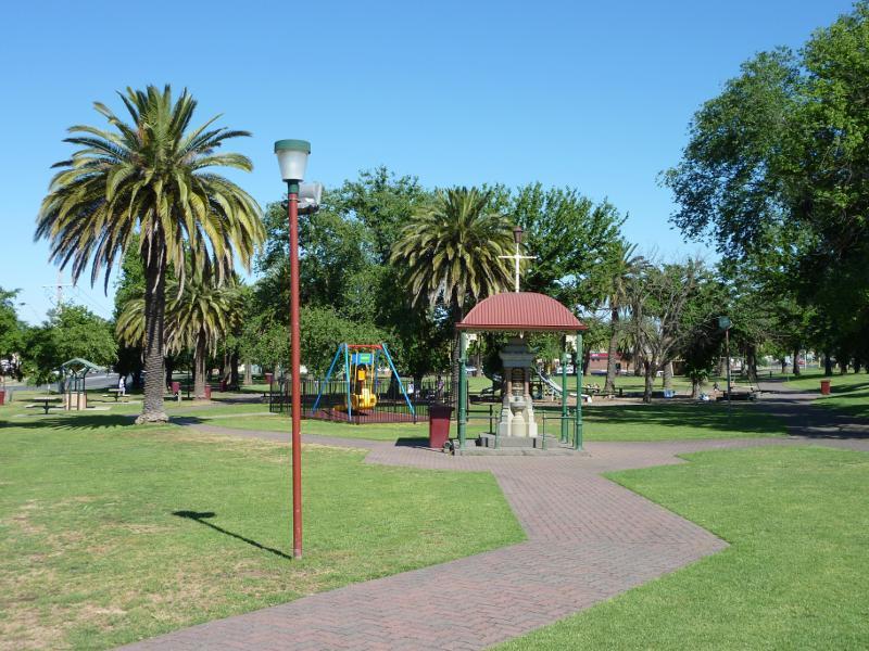 May Park - View west through park towards war memorial and playground
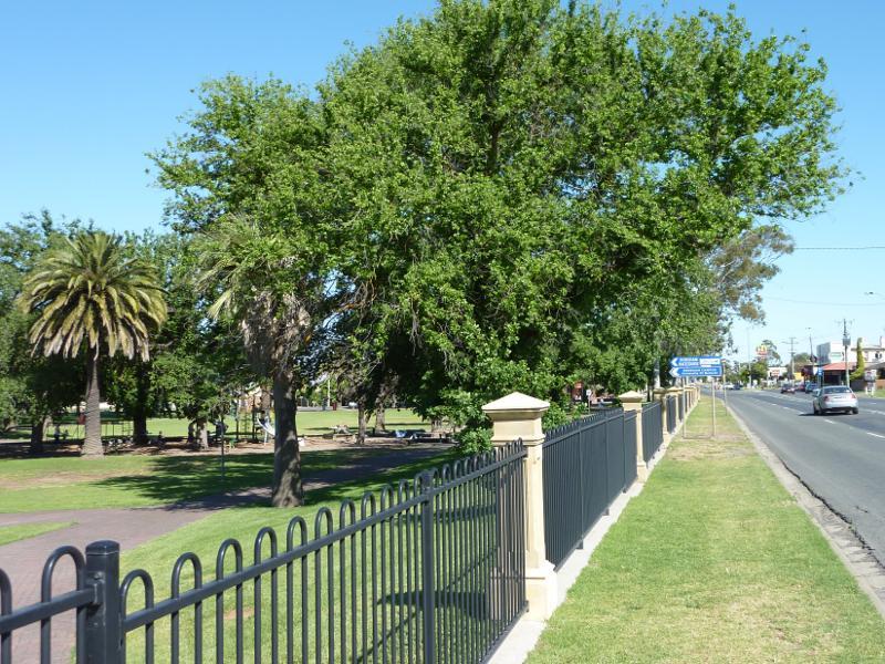 May Park - View north-west along edge of park fronting Dimboola Rd
 May Park - Southerly view through park
 May Park - Wishing well and shelter
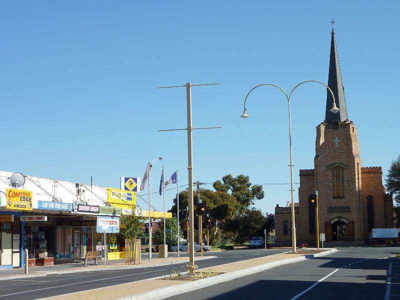
 Around Horsham - St Johns Church, Baillie St opposite Firebrace St
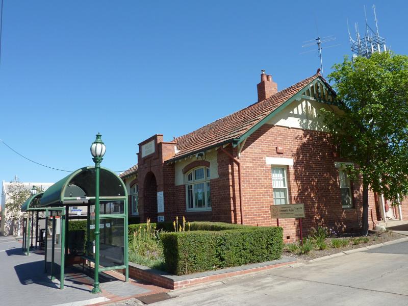 Around Horsham - Old police station, Roberts Av between Urquhhart St and Firebrace St
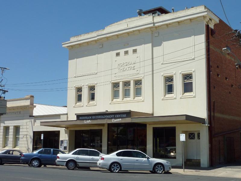 Around Horsham - Horsham Entertainment Centre, Pynsent St between Urquhhart St and Firebrace St
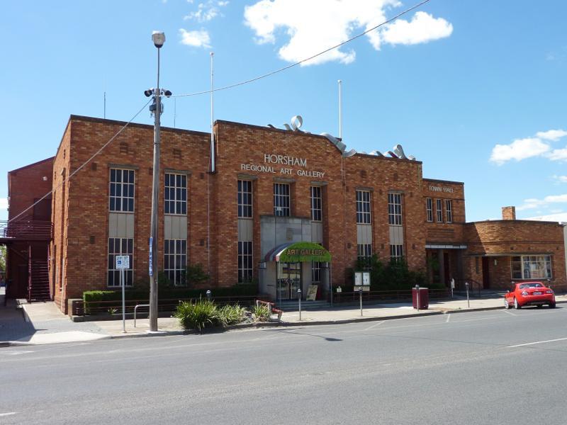 Around Horsham - Horsham Regional Art Gallery and Town Hall, Wilson St between Darlot St and Firebrace St
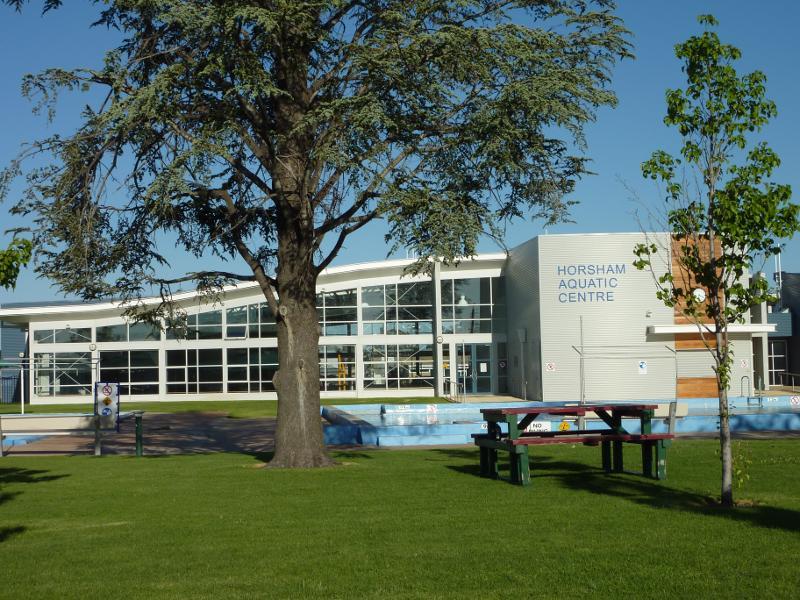 Around Horsham - Horsham Aquatic Centre, corner Firebrace St and Hamilton St
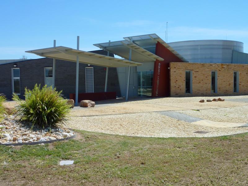
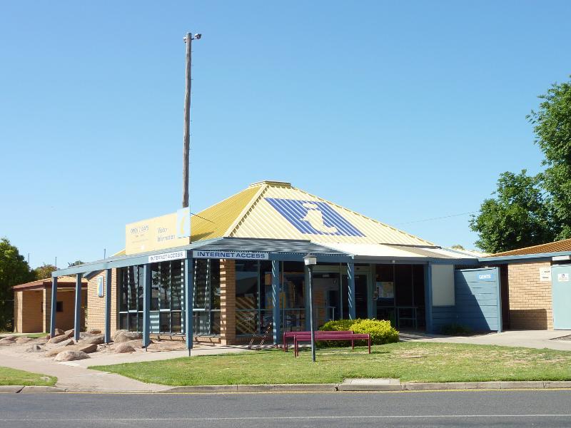 Around Horsham - Visitor Information Centre, corner O'Callaghans Pde and Baker St
 Around Horsham - View south along McPherson St towards Wilson St
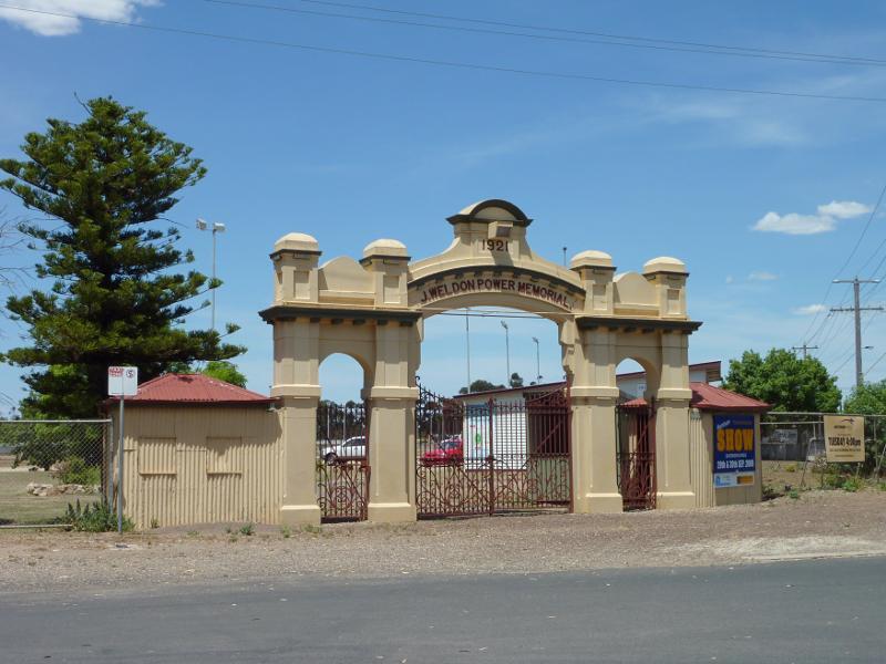 Around Horsham - Entrance to Horsham Showgrounds, corner McPherson St and McBryde St
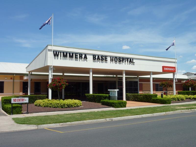 Around Horsham - Wimmera Base Hospital, Baillie St
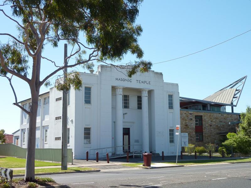 Urquhhart Street - Masonic Temple, Urquhhart St near Roberts Av
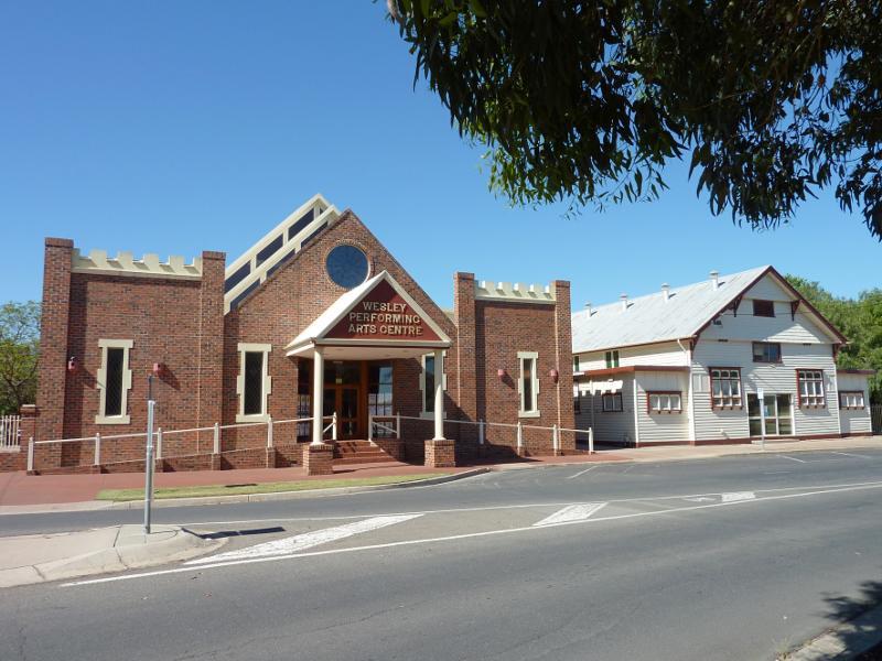 Urquhhart Street - Wesley Performing Arts Centre, corner Urquhhart St and Roberts Av
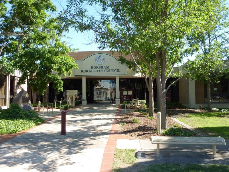 Urquhhart Street - Horsham Rural City Council, corner Roberts Av and Urquhhart St
 Urquhhart Street - View south along Urquhhart St at McLachlan St
 Urquhhart Street - View south along Urquhhart St from bridge over railway
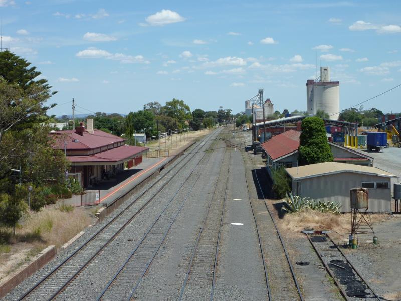
 Railway station, Railway Avenue - View of station from car park off Station Av
 Railway station, Railway Avenue - View west along platform
 Railway station, Railway Avenue - View west along railway line towards station from bridge at Urquhhart St
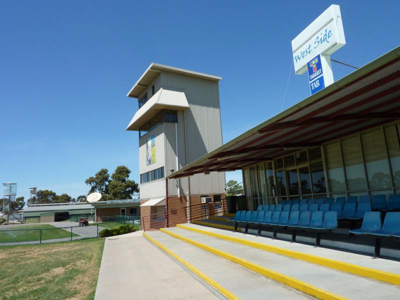
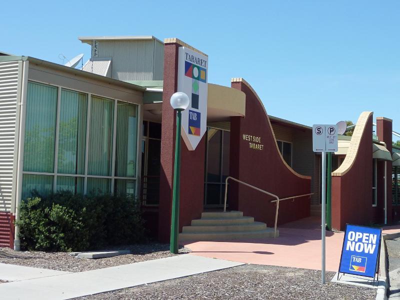 Central Park and Horsham Racecourse - West Side Tabaret, Bennett Rd
 Central Park and Horsham Racecourse - View from lawns towards West Side Tabaret
 Central Park and Horsham Racecourse - Outdoor seating at West Side Tabaret overlooking racetrack
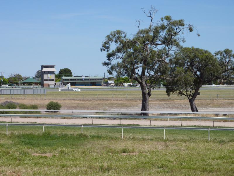
 Central Park and Horsham Racecourse - View east across racetrack opposite West Side Tabaret
 Central Park and Horsham Racecourse - View west across racetrack towards West Side Tabaret from Park Dr
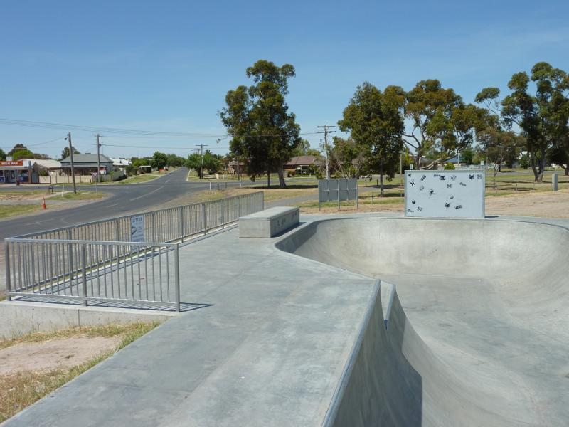 Central Park and Horsham Racecourse - Skate park, corner Park Dr and Natimuk Rd
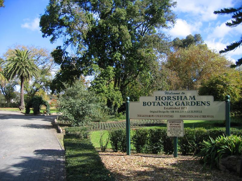
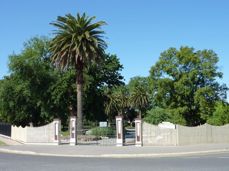 Horsham Botanic Gardens - Main entrance, corner Firebrace St and Baker St
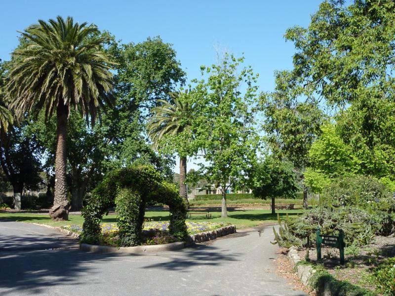
 Horsham Botanic Gardens - Inside main entrance
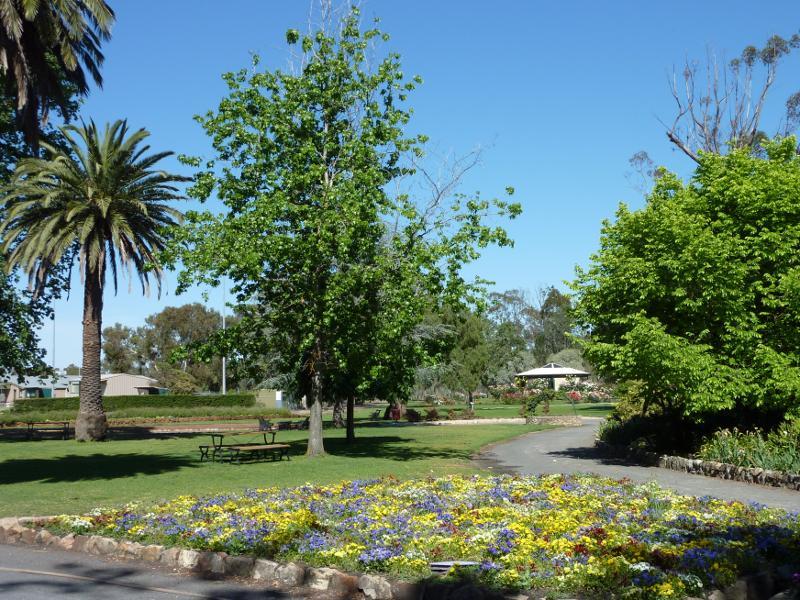
 Horsham Botanic Gardens - Crown Bed
 Horsham Botanic Gardens - View from Crown Bed
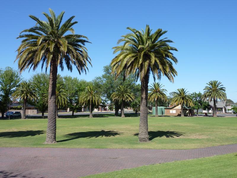
 Horsham Botanic Gardens - Canary Island palms
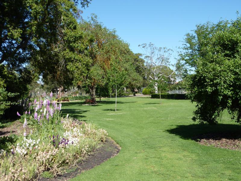 Horsham Botanic Gardens - Lawns
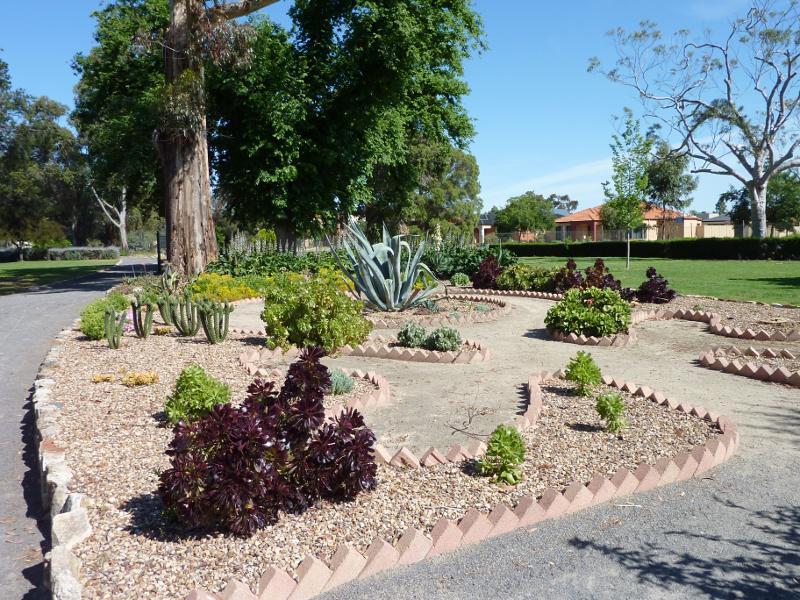 Horsham Botanic Gardens - Cacti and succulents
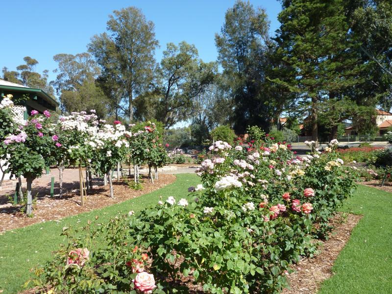
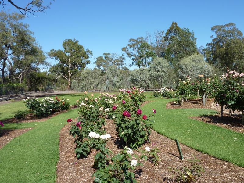
 Horsham Botanic Gardens - Rose garden
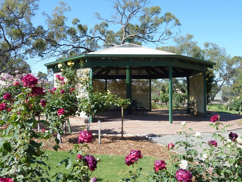 Horsham Botanic Gardens - Rotunda at rose garden
 Horsham Botanic Gardens - Rose garden
 Horsham Botanic Gardens - Rose garden and memorial hedge in background
 Horsham Botanic Gardens - Garden near toilets
 Horsham Botanic Gardens - Playground
 Horsham Botanic Gardens - Croquet club
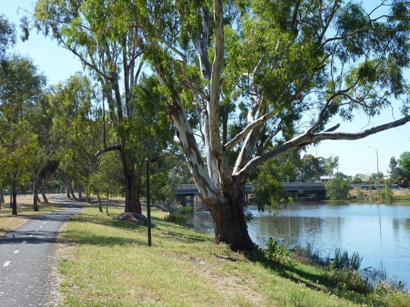
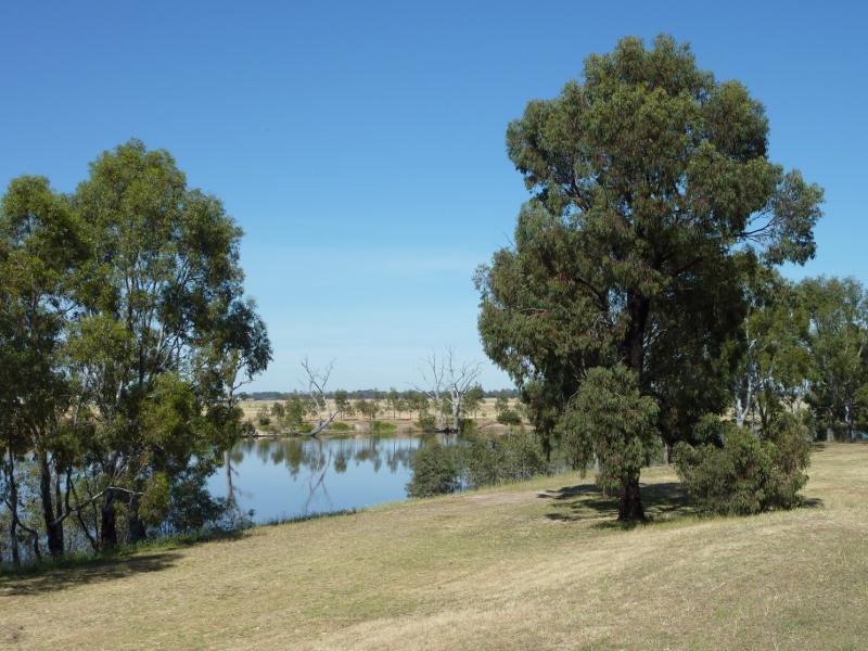
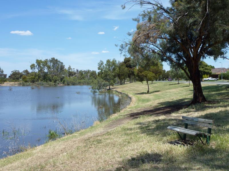
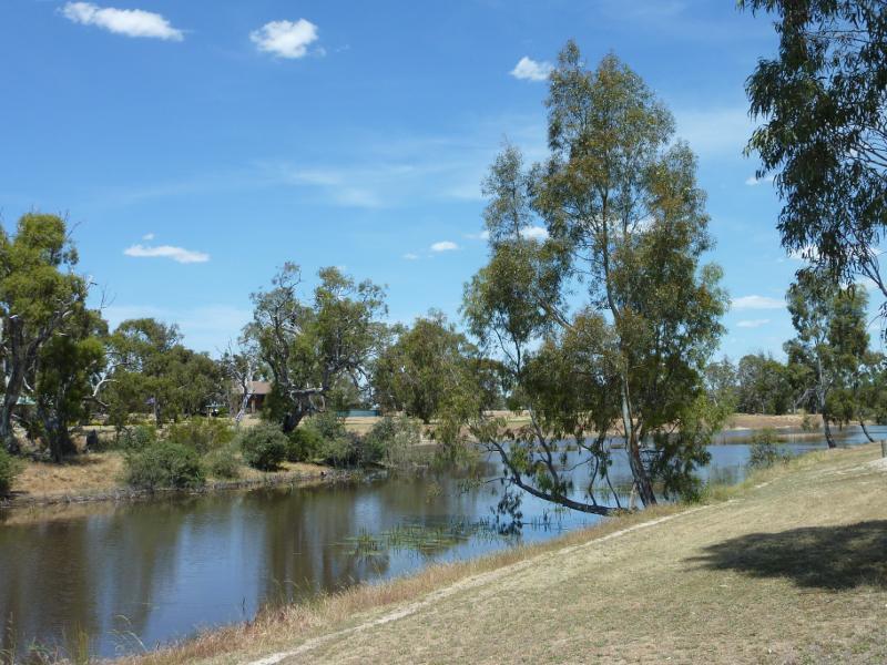
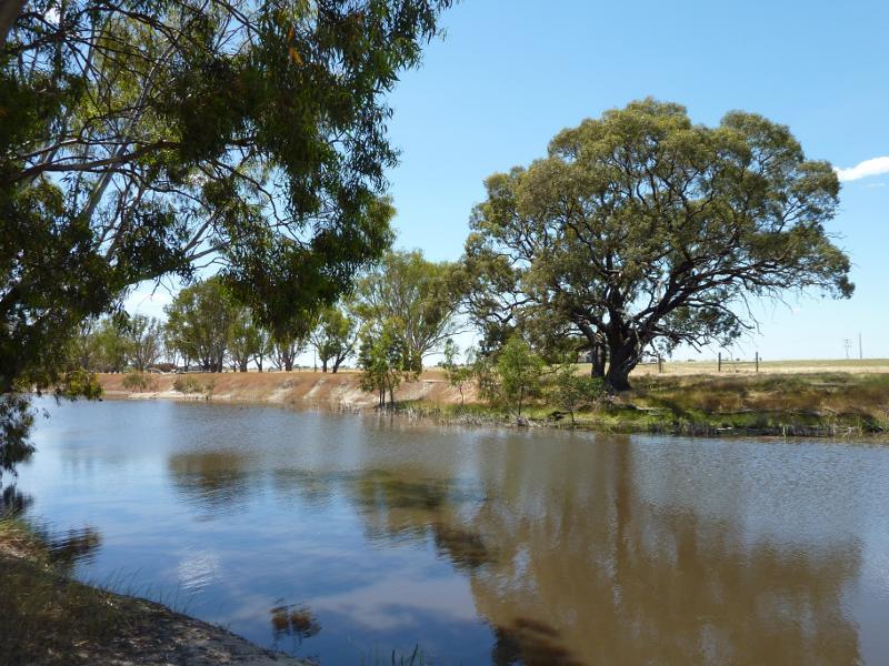
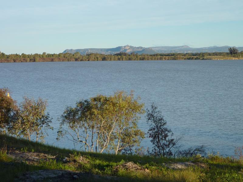
 Wimmera River viewed from bridge at Stawell Road - View east along river
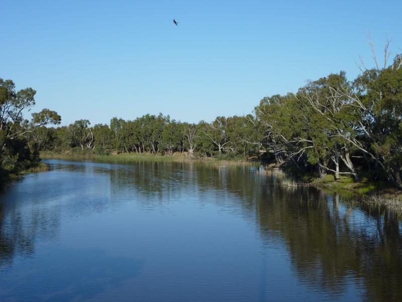 Wimmera River viewed from bridge at Stawell Road - View east along river
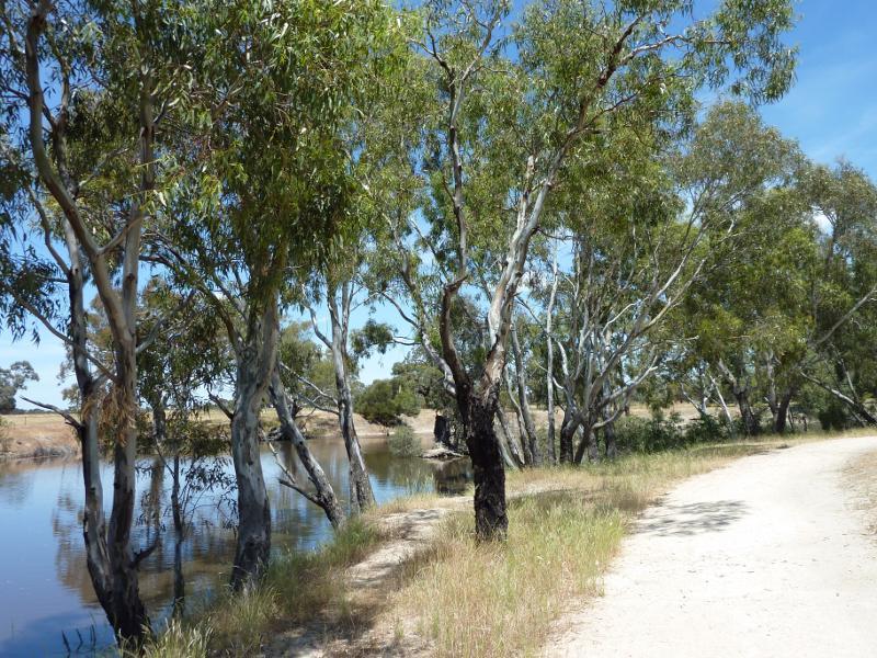
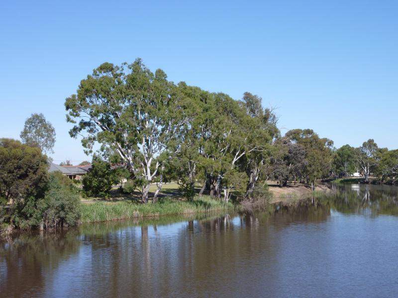 Wimmera River viewed from bridge at Stawell Road - View west along southern bank of river
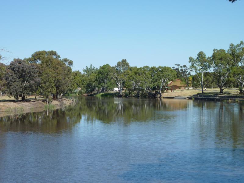 Wimmera River viewed from bridge at Stawell Road - View west along river
 Wimmera River viewed from bridge at Stawell Road - View west along northern bank of river
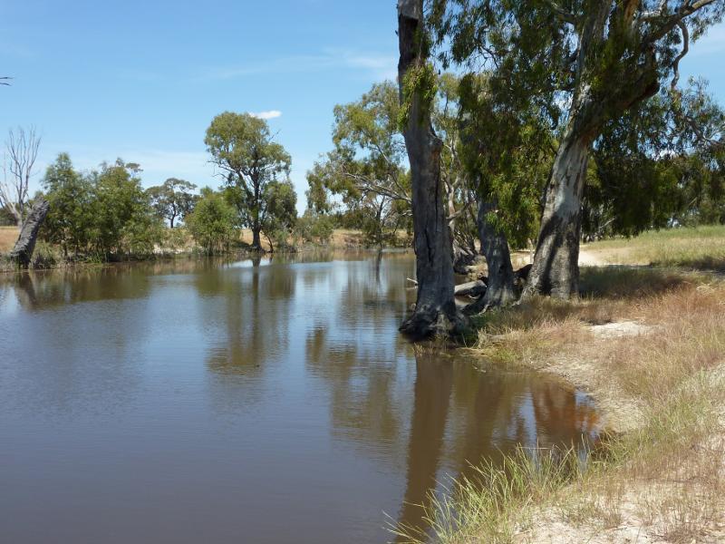
 Northern bank of Wimmera River between Stawell Road and Firebrace Street - View east along river towards bridge at Stawell Rd
 Northern bank of Wimmera River between Stawell Road and Firebrace Street - View south across river
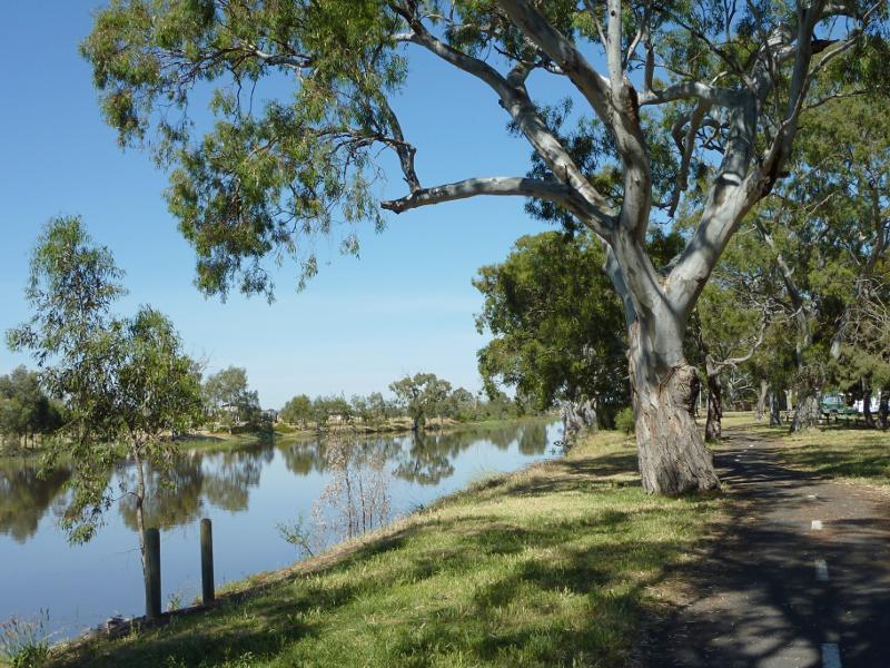
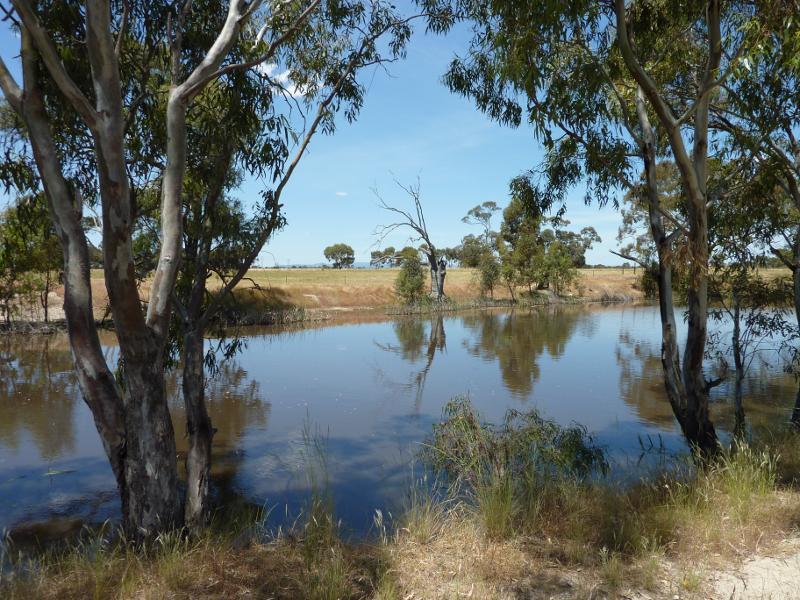
 Northern bank of Wimmera River between Stawell Road and Firebrace Street - View west along river
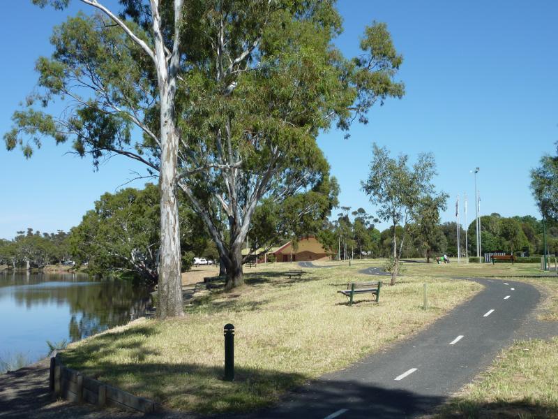 Northern bank of Wimmera River between Stawell Road and Firebrace Street - View west along river towards sound shell
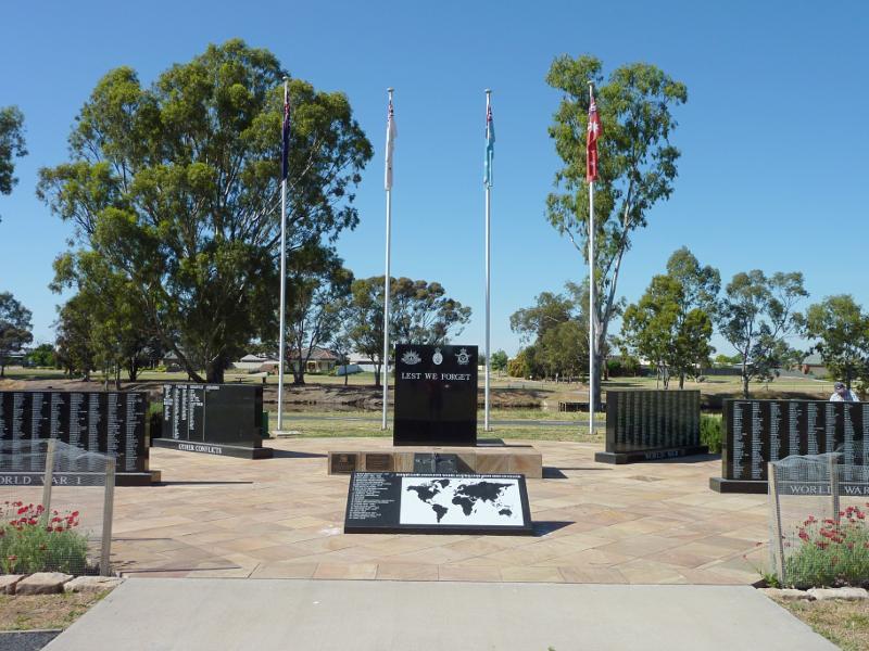 Northern bank of Wimmera River between Stawell Road and Firebrace Street - War memorial
 Northern bank of Wimmera River between Stawell Road and Firebrace Street - Sound shell
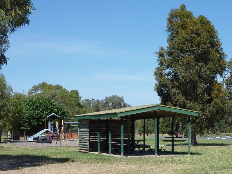
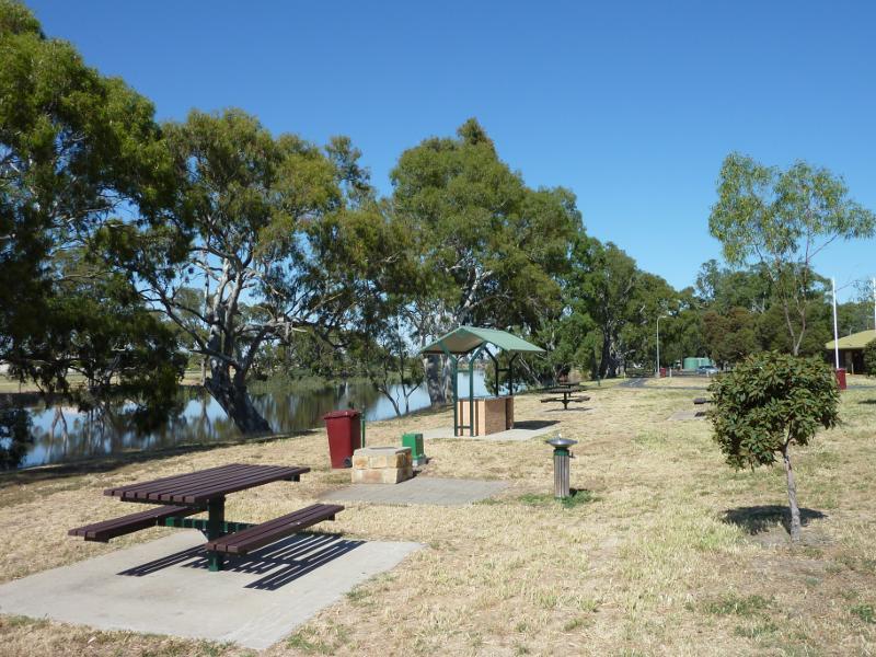 Northern bank of Wimmera River between Stawell Road and Firebrace Street - Picnic and BBQ area, view west along river near sound shell
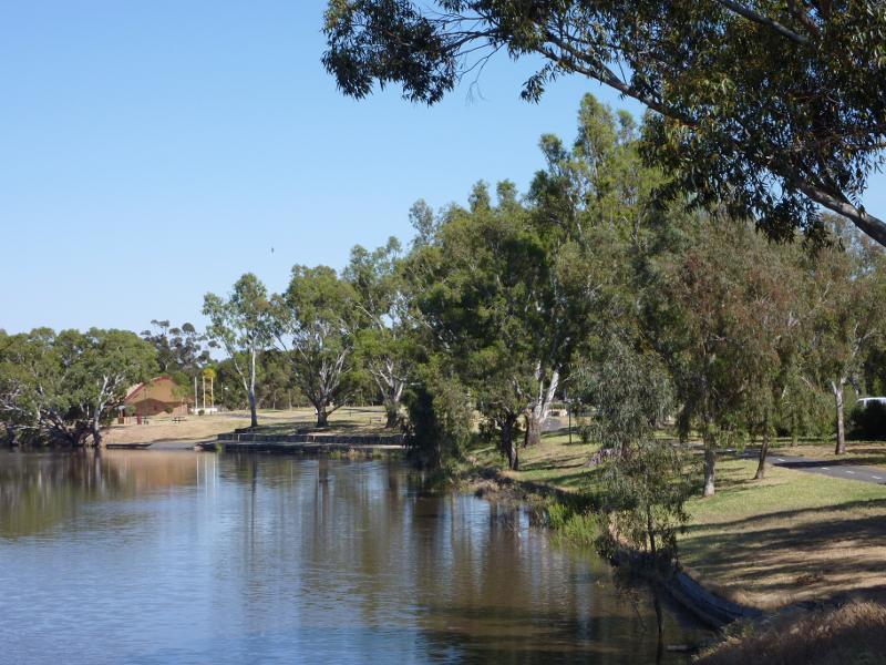
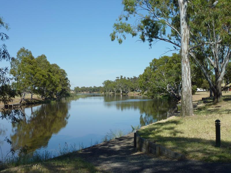
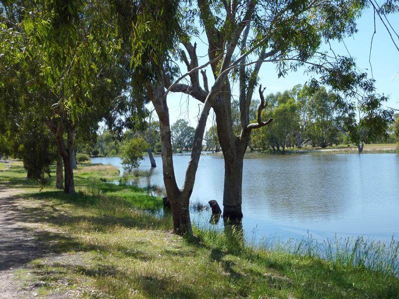
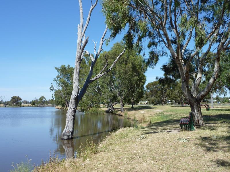
 Wimmera River at southern end of Firebrace Street - View west along river
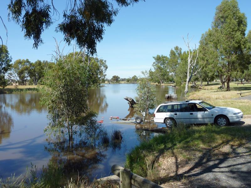
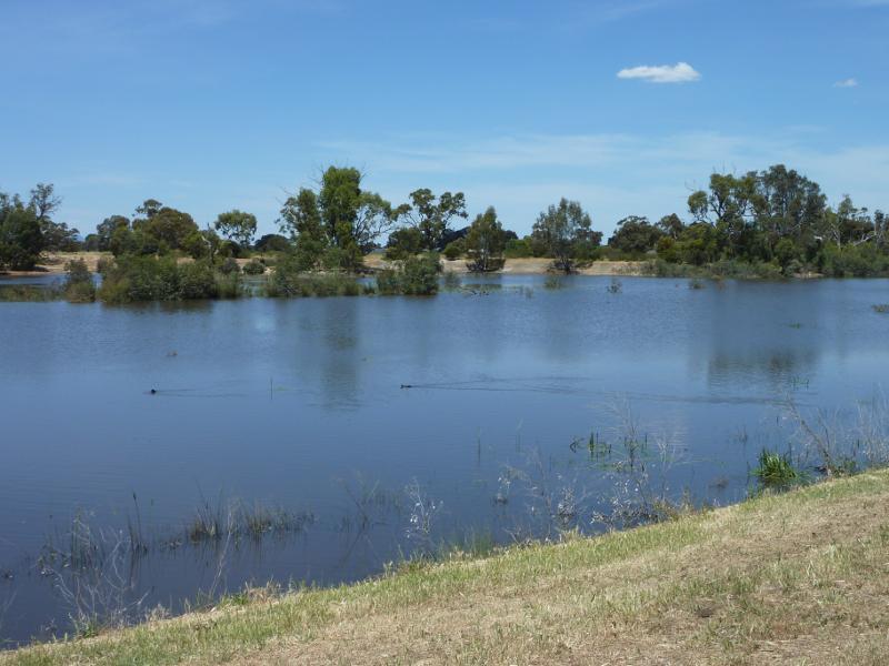
 Wimmera River at southern end of Firebrace Street - View south across river
 Wimmera River at southern end of Firebrace Street - View south across river
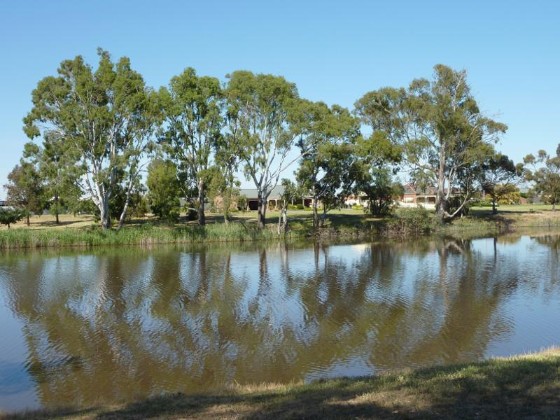
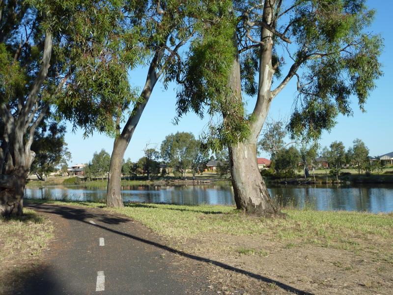
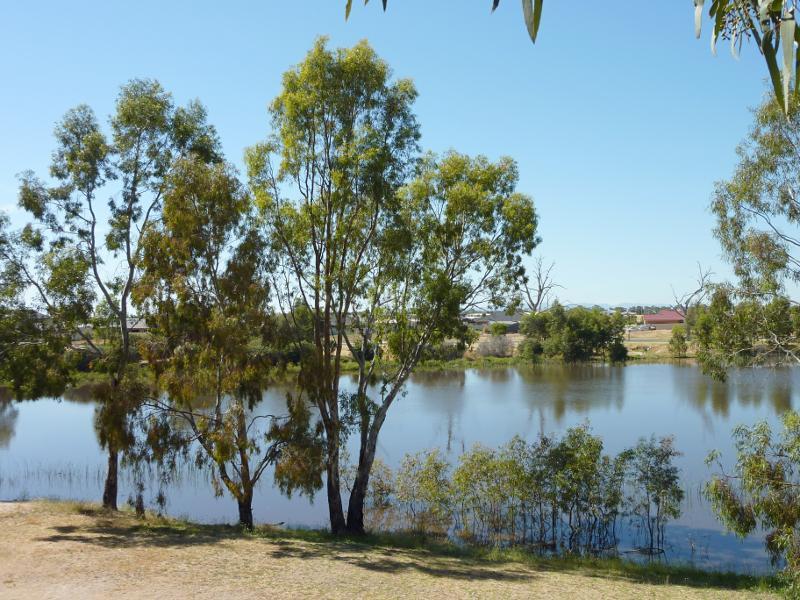
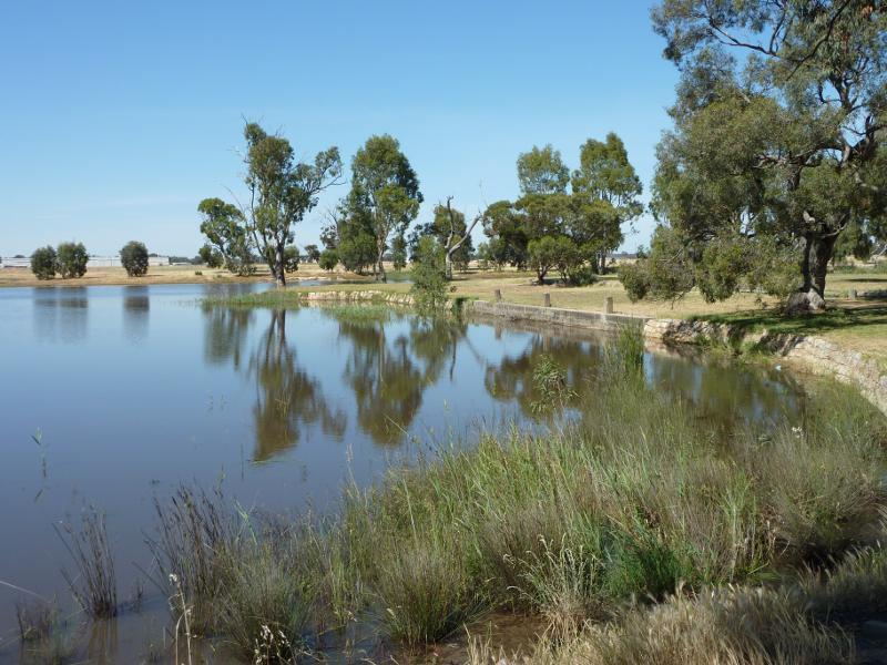
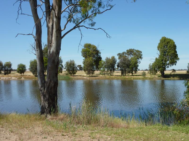
 Lagoon along Eastgate Drive - View south along lagoon towards footbridge
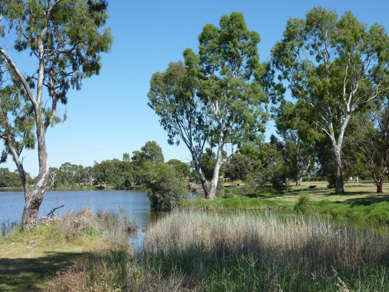
 Lagoon along Eastgate Drive - View south over lagoon from footbridge
 Lagoon along Eastgate Drive - View across lagoon from footbridge towards houses along Wotonga Dr
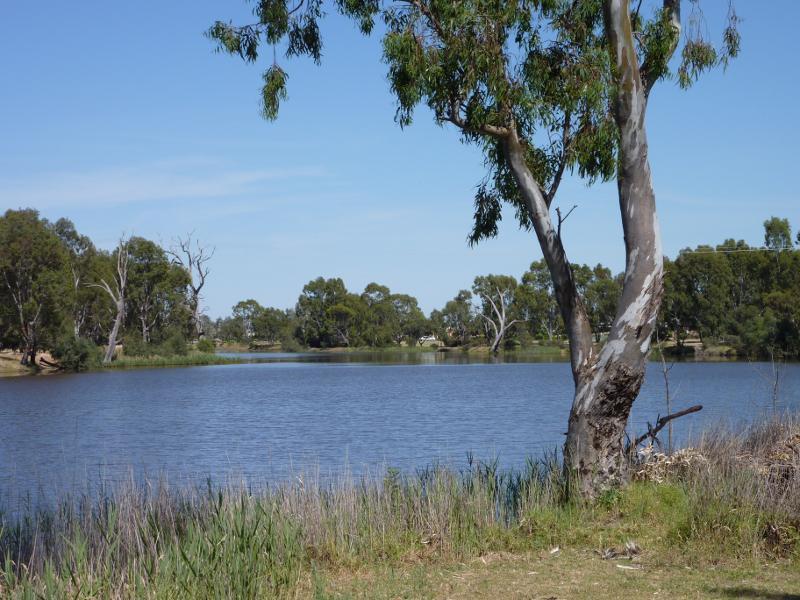
 Lagoon along Eastgate Drive - View north along lagoon from footbridge
 Wimmera River at southern end of Eastgate Drive - View east along river
 Wimmera River at southern end of Eastgate Drive - Pathway along river
 Wimmera River at southern end of Eastgate Drive - BBQ shelter overlooking river
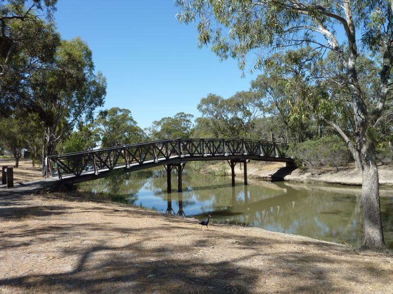
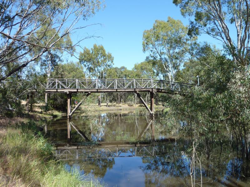
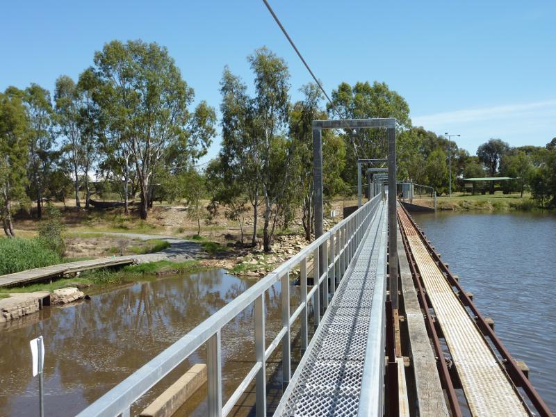
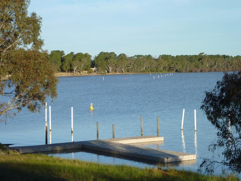
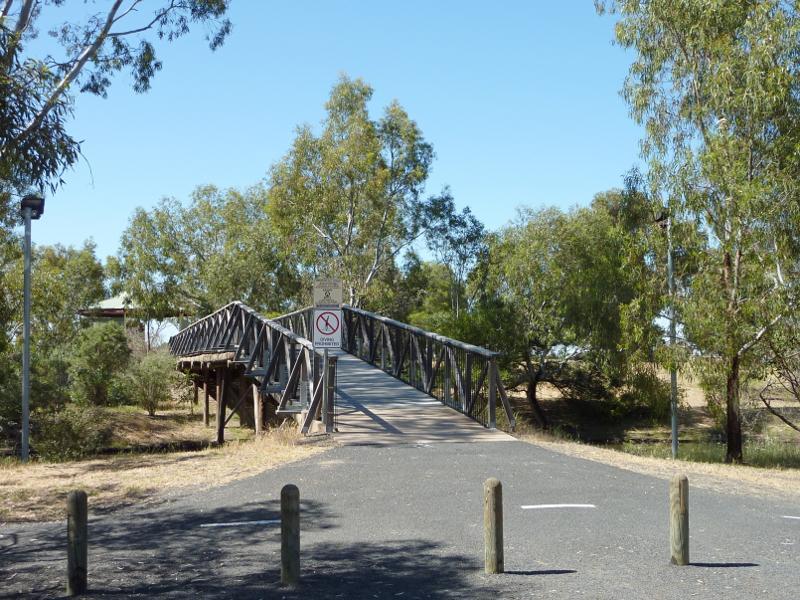 Wimmera River at Apex Island - Footbridge to Apex Island
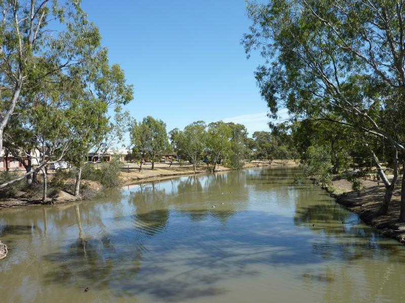
 Wimmera River at Apex Island - View west along river from footbridge
 Wimmera River at Apex Island - Rotunda on Apex Island
 Wimmera River at Apex Island - View west along river towards footbridge
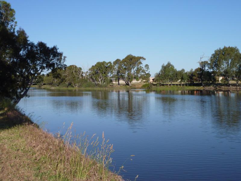
 Wimmera River at Apex Island - Southerly view over river from island
 Wimmera River at Apex Island - South-westerly view over river from island
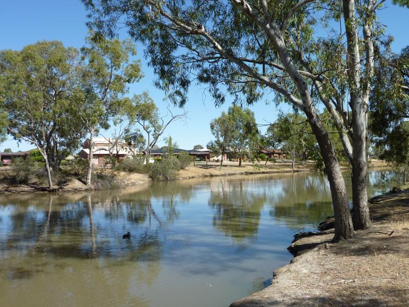
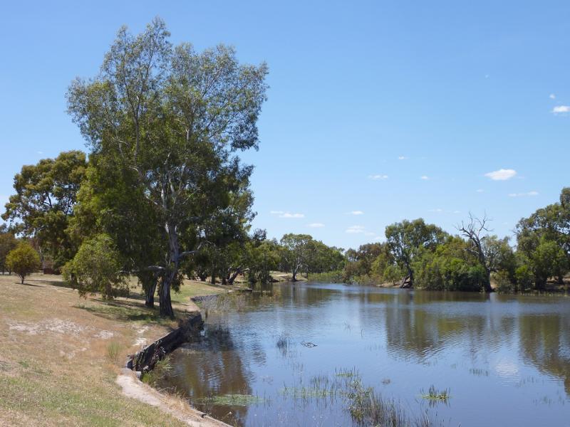
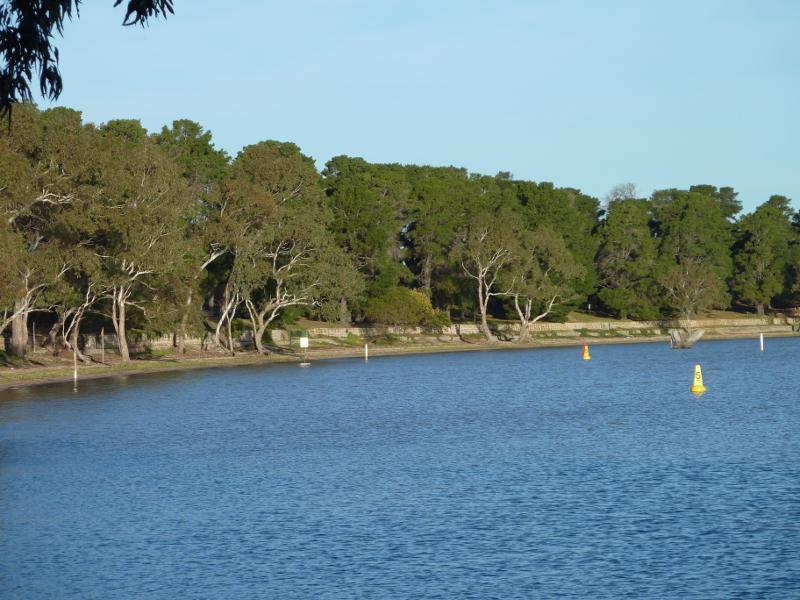
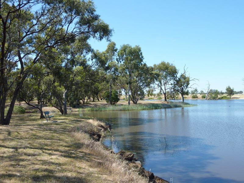 Wimmera River at Boat Haven and River Park, Barnes Boulevard - View west along river towards Apex Island
 Wimmera River at Boat Haven and River Park, Barnes Boulevard - View east along Boat Haven and Barnes Bvd
 Wimmera River at Boat Haven and River Park, Barnes Boulevard - South-westerly view over Boat Haven
 Wimmera River at Boat Haven and River Park, Barnes Boulevard - Southerly view at western end of Boat Haven
 Wimmera River at Boat Haven and River Park, Barnes Boulevard - View south across river at River Park
 Wimmera River at Boat Haven and River Park, Barnes Boulevard - View west along river at River Park
 Wimmera River at Boat Haven and River Park, Barnes Boulevard - View west along river at River Park
 Wimmera River at boat ramp at southern end of Drummond Street - View east along river
 Wimmera River at boat ramp at southern end of Drummond Street - View west along river towards boat ramp
 Wimmera River at boat ramp at southern end of Drummond Street - View south-west along river
 Wimmera River at boat ramp at southern end of Drummond Street - View south-west along river
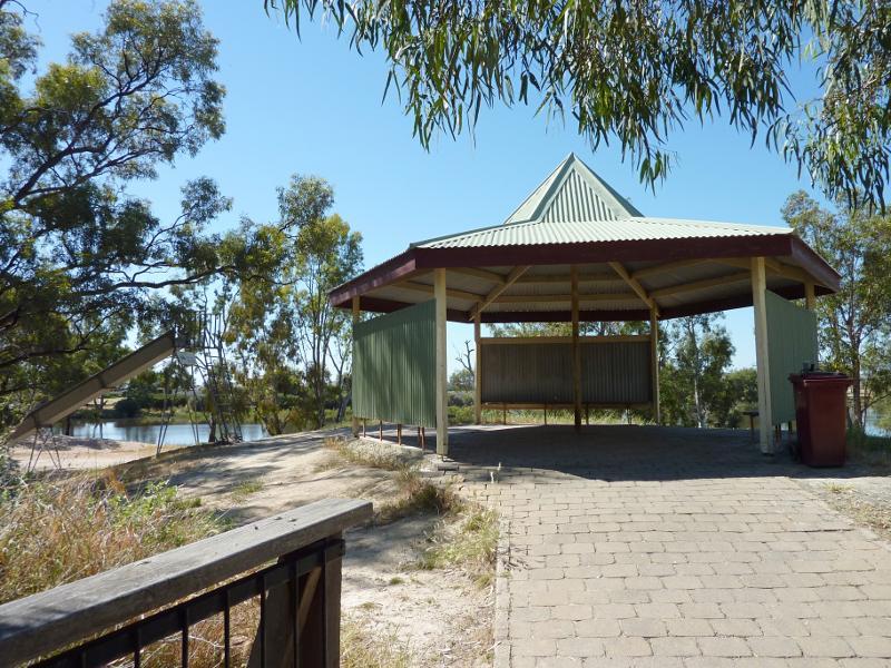
 Wimmera River at Weir Park, east side of weir - Shelter and playground
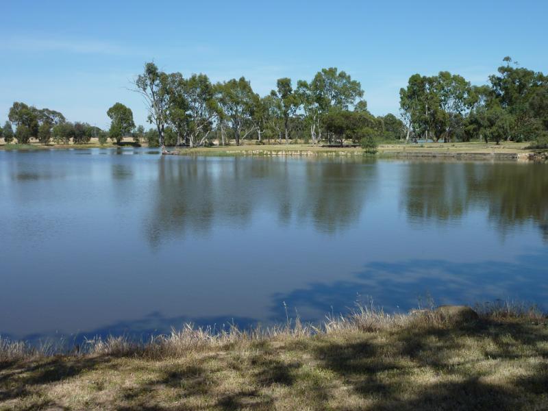
 Wimmera River at Weir Park, east side of weir - View south-west along river towards weir
 Wimmera River at Weir Park, east side of weir - View across river
 Wimmera River at Weir Park, east side of weir - View south-west along river
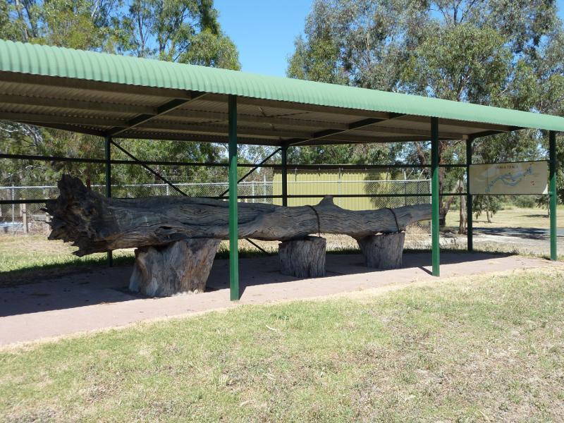 Wimmera River at Weir Park, east side of weir - Information shelter with tree trunk display
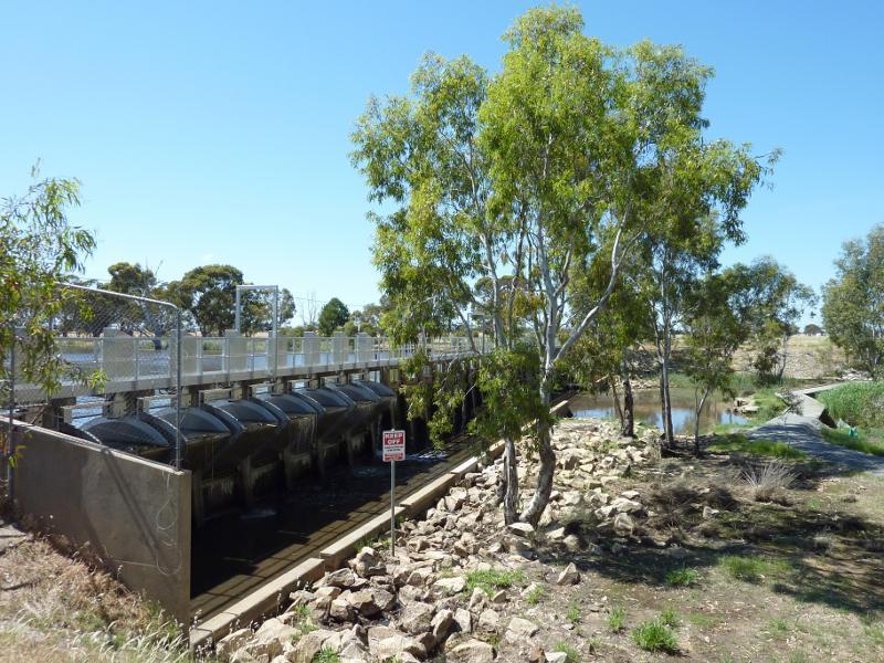
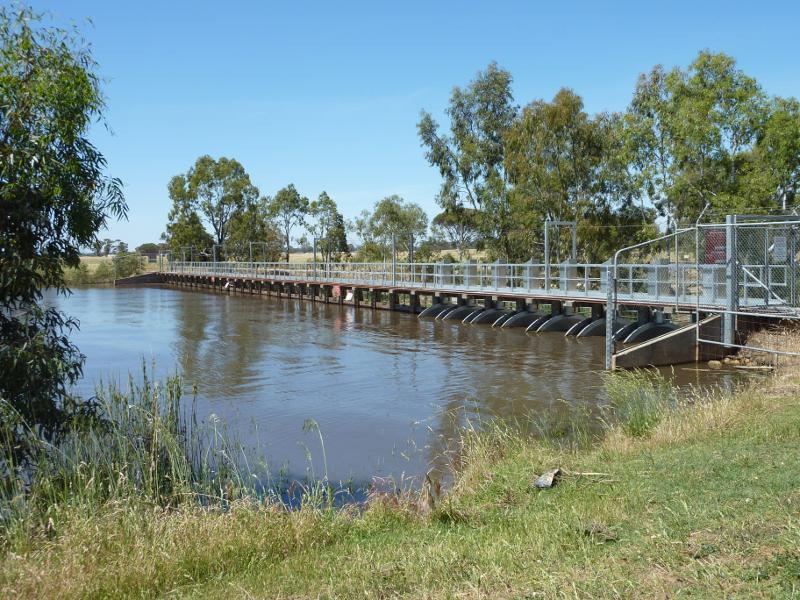 Wimmera River at Weir Park, east side of weir - View south along weir
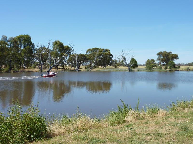
 Wimmera River on west wide of weir and at wetlands - View south along weir at wetlands
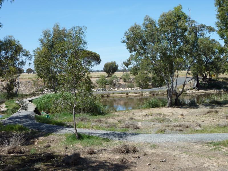 Wimmera River on west wide of weir and at wetlands - View south across wetlands towards river
 Wimmera River on west wide of weir and at wetlands - Pathway across river and through wetlands
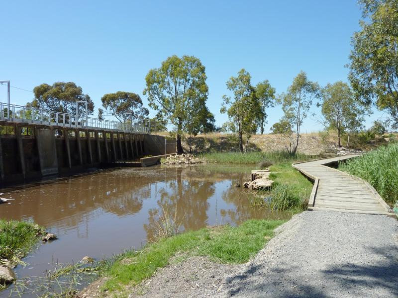
 Wimmera River on west wide of weir and at wetlands - View east towards weir from wetlands
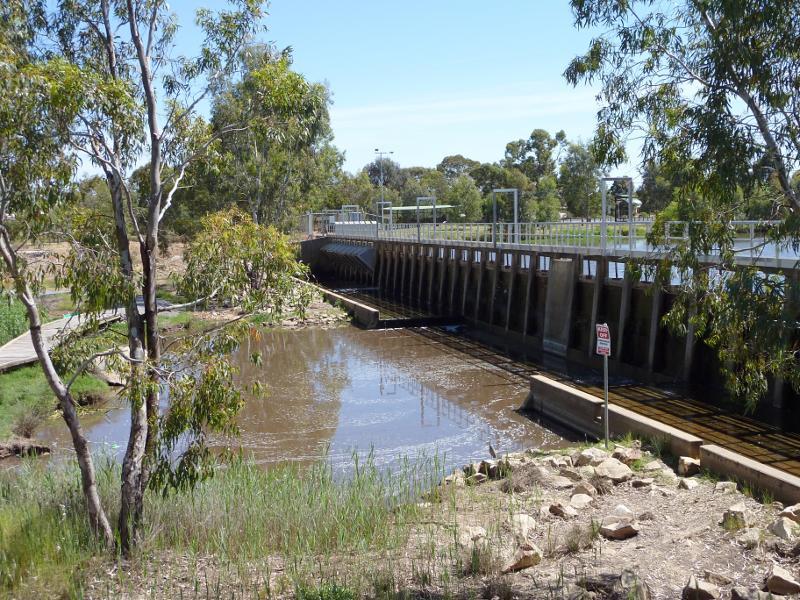 Wimmera River on west wide of weir and at wetlands - View north across river at weir
 Wimmera River on west wide of weir and at wetlands - View north along weir
 Wimmera River on west wide of weir and at wetlands - View east along river at southern end of weir
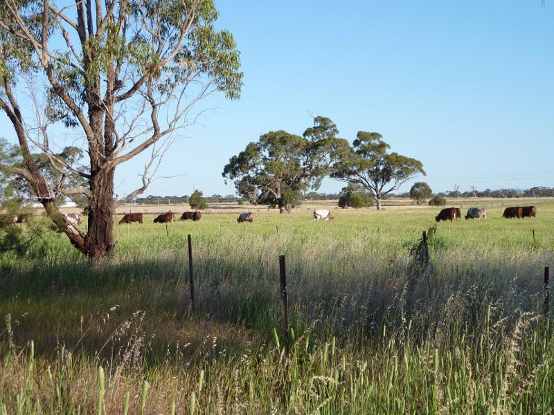 Wimmera River on west wide of weir and at wetlands - Southerly view across fields at southern end of weir
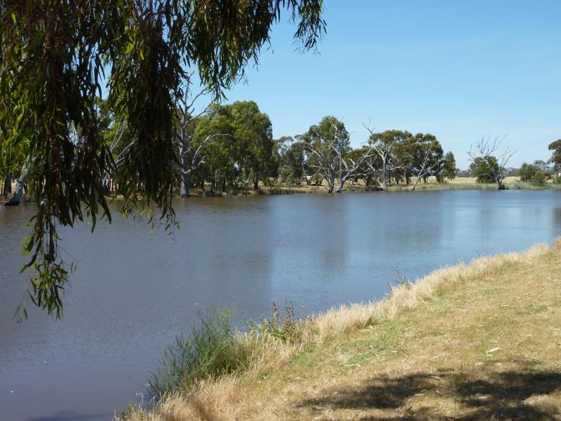
 Wimmera River on west wide of weir and at wetlands - View west along river at wetlands
 Wimmera River on west wide of weir and at wetlands - View west along pathway on south side of river, west of weir
 Wimmera River on west wide of weir and at wetlands - View north across river near weir
 Wimmera River along Menadue Street - View south-west along river opposite Rennison St
 Wimmera River along Menadue Street - View south-east across river
 Wimmera River along Menadue Street - View north-east along river
 Wimmera River along Menadue Street - View south-west along river opposite Gillespie St
 Wimmera River along Menadue Street - View north-east along river
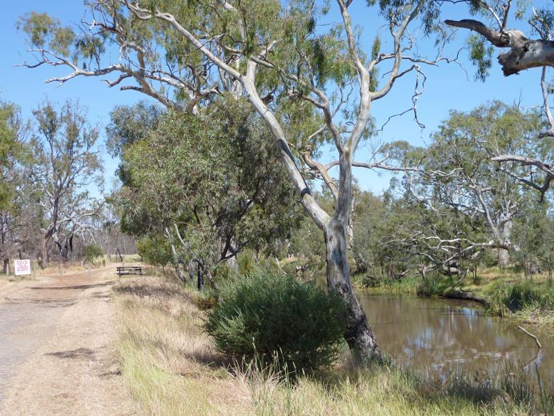
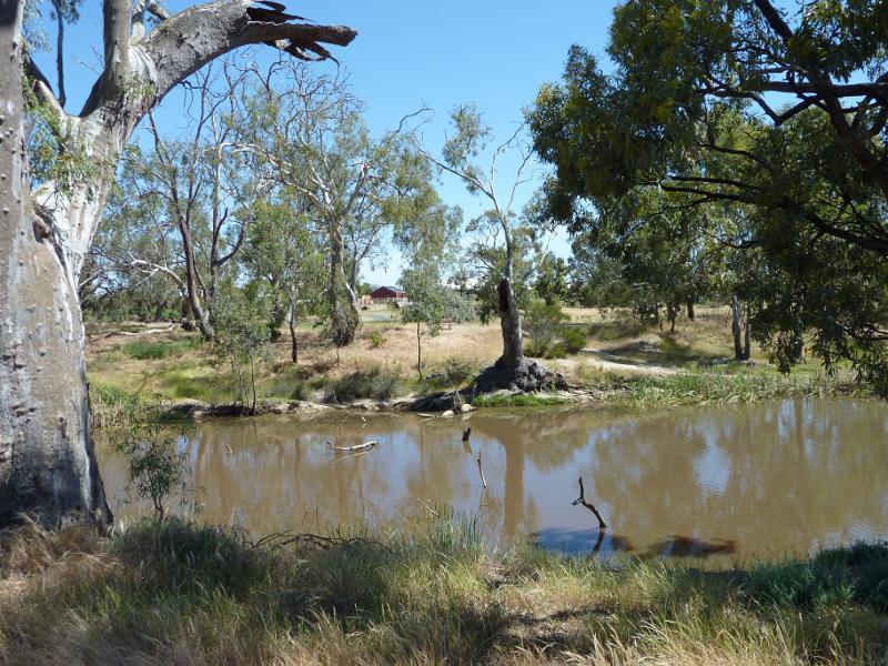
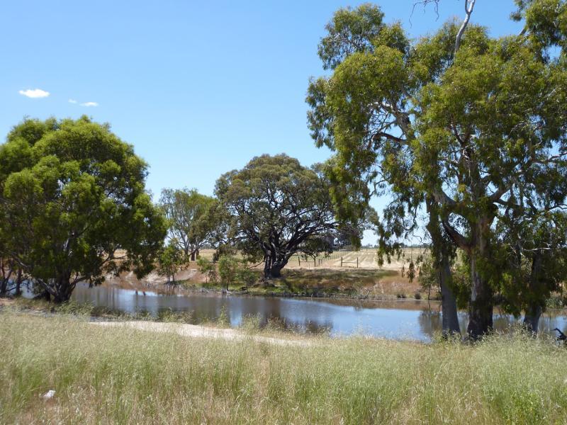
 Wimmera River at native grass reserve, east end of Baillie Street - View south along pathway beside river
 Wimmera River at native grass reserve, east end of Baillie Street - View south along river
 Wimmera River at native grass reserve, east end of Baillie Street - View east across river
 Wimmera River at native grass reserve, east end of Baillie Street - View east through grasslands towards river
 Wimmera River at native grass reserve, east end of Baillie Street - View east across river
 Wimmera River at native grass reserve, east end of Baillie Street - View east across river
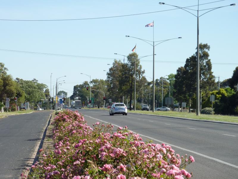
 Stawell Road - View south along Stawell Rd, south of Williams Rd
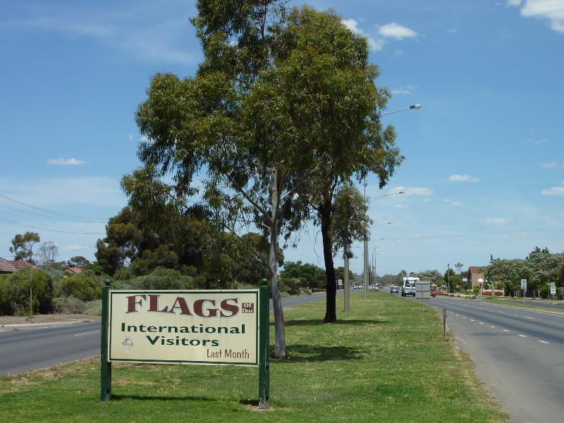
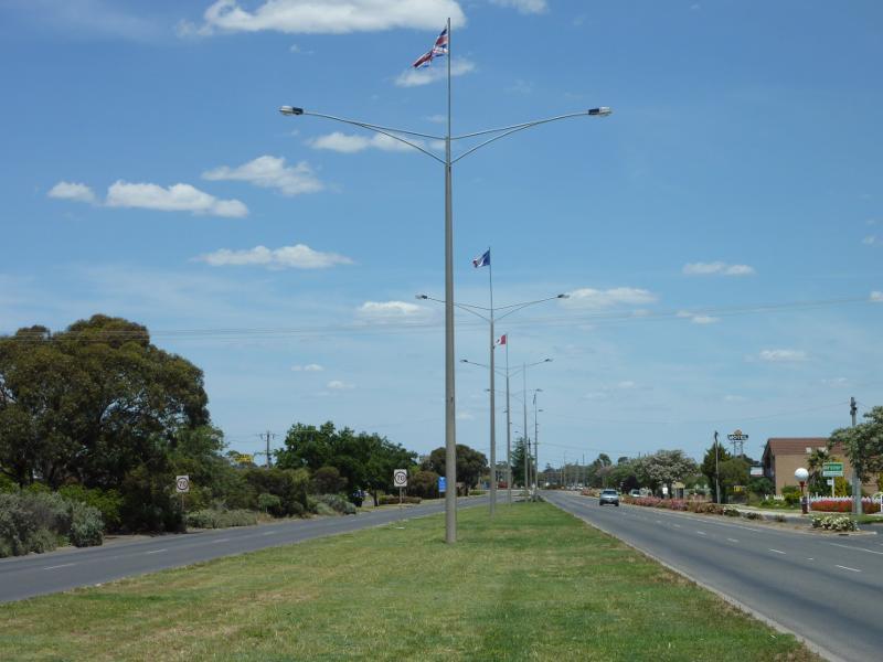 Stawell Road - Flags of international visitors along Stawell Rd, south of Williams Rd
 Stawell Road - View north along Stawell Rd towards Williams Rd
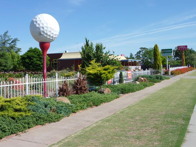 Stawell Road - Toys Garden Restaurant, west side of Stawell Rd
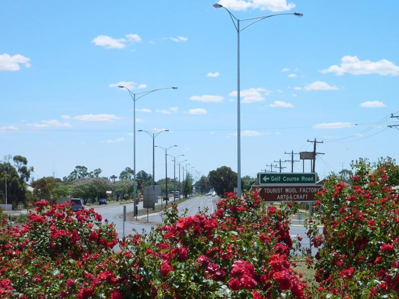 Stawell Road - View north along Stawell Rd at Golf Course Rd
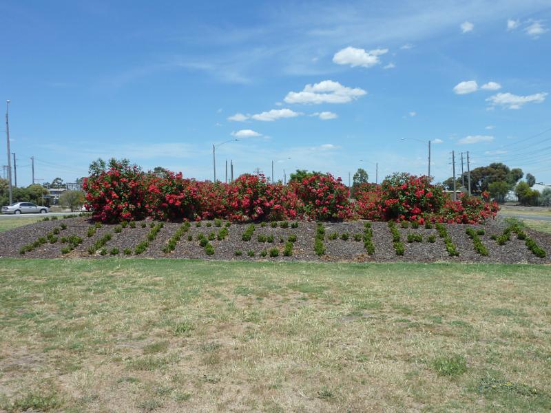 Western Highway south-east of Horsham - Rose garden at junction of Western Hwy and Henty Hwy
 Western Highway south-east of Horsham - Horsham town sign, view north-west along Western Hwy north of Osborne Rd
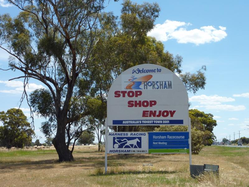 Western Highway south-east of Horsham - Welcome to Horsham sign, view view north-west along Western Hwy south of Osborne Rd
 Northern side of Green Lake, Western Highway, south-east of Horsham - Picnic area overlooking north-eastern end of lake
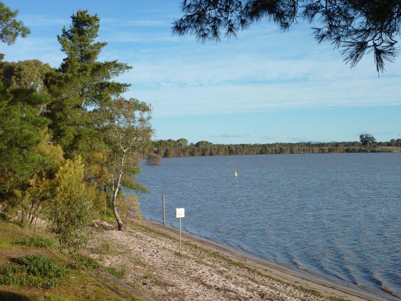 Northern side of Green Lake, Western Highway, south-east of Horsham - South-easterly view along lake from picnic area
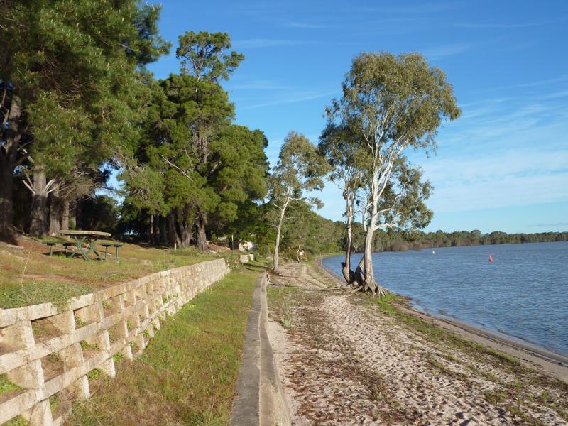 Northern side of Green Lake, Western Highway, south-east of Horsham - South-easterly view along lake foreshore at picnic area
 Northern side of Green Lake, Western Highway, south-east of Horsham - South-easterly view across lake near toilets
 Northern side of Green Lake, Western Highway, south-east of Horsham - Boat ramp at north-western end of lake
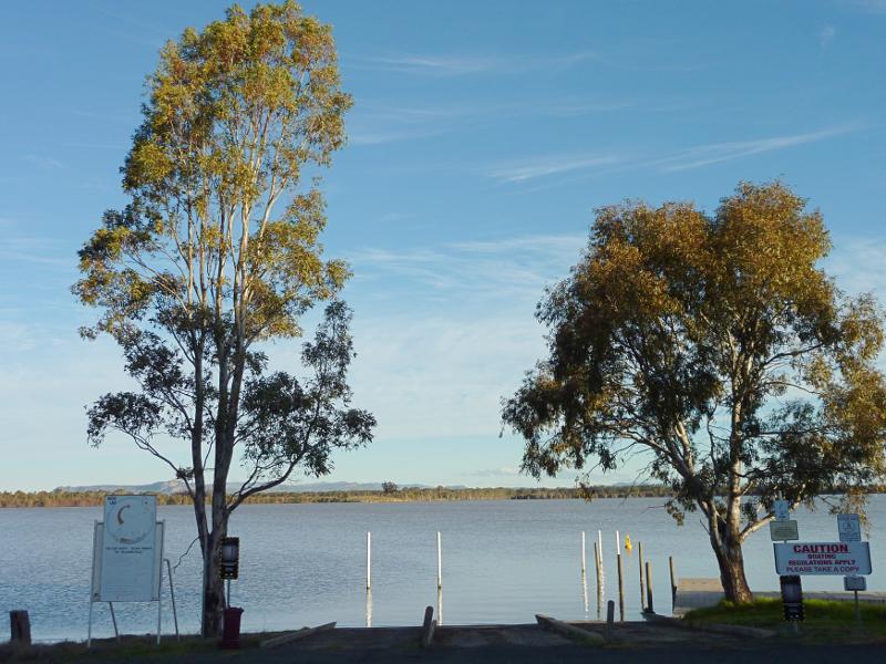
 Northern side of Green Lake, Western Highway, south-east of Horsham - View across lake from jetty at boat ramp
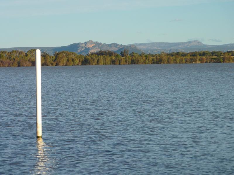 Northern side of Green Lake, Western Highway, south-east of Horsham - View across lake towards the Grampians from boat ramp
 Northern side of Green Lake, Western Highway, south-east of Horsham - Easterly view towards lake foreshore from boat ramp
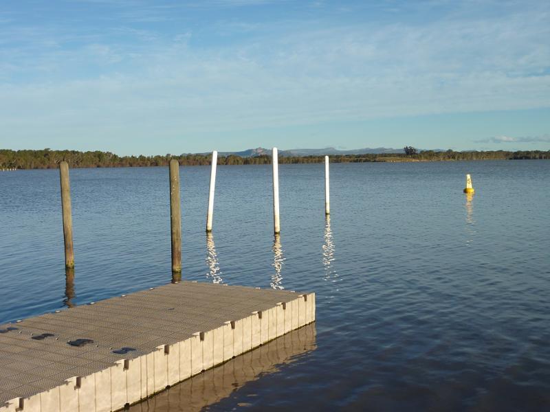
 Northern side of Green Lake, Western Highway, south-east of Horsham - Jetty at boat ramp
 Northern side of Green Lake, Western Highway, south-east of Horsham - South-easterly view across lake towards the Grampians from near boat ramp
 Northern side of Green Lake, Western Highway, south-east of Horsham - Southerly view across lake from near boat ramp
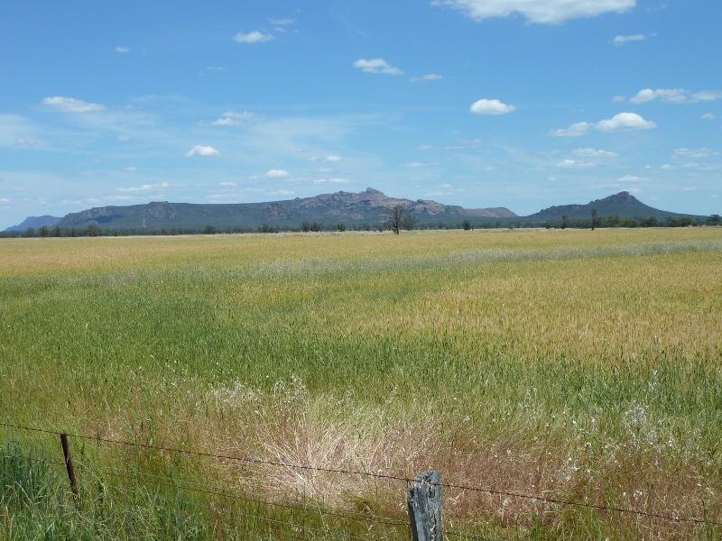 Views from Wal Wal Road and Fishers Road near Taylors Lake - View south towards Grampians, Western Hwy near Wal Wal Rd
 Views from Wal Wal Road and Fishers Road near Taylors Lake - Easterly view along Wal Wal Rd near Western Hwy
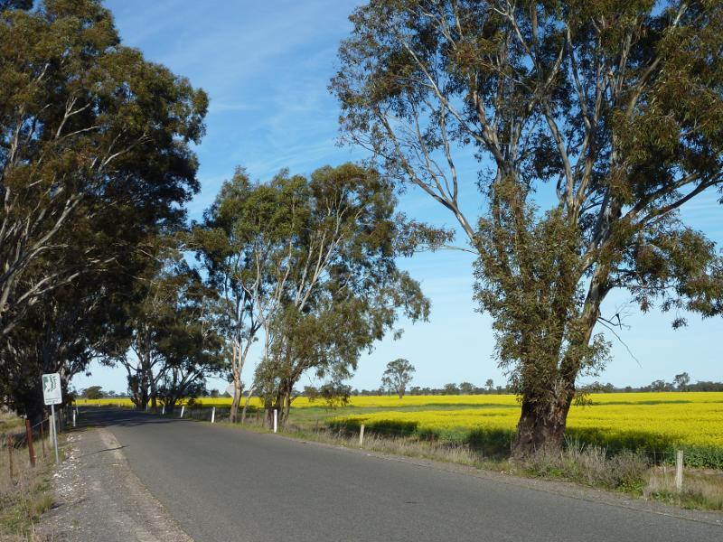
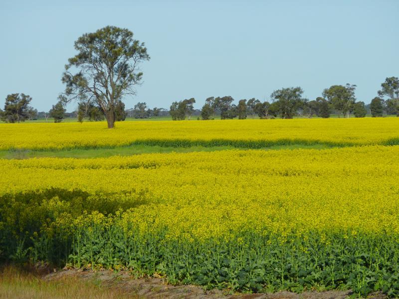 Views from Wal Wal Road and Fishers Road near Taylors Lake - Canola fields viewed from Wal Wal Rd near Western Hwy
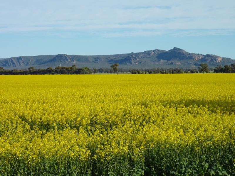
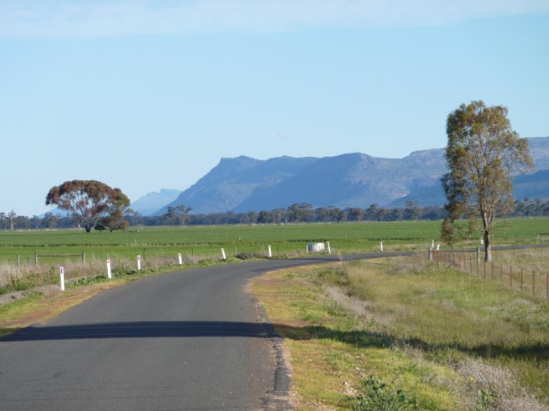
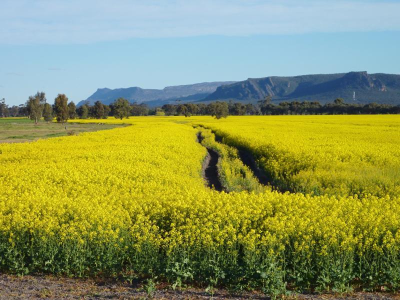 Views from Wal Wal Road and Fishers Road near Taylors Lake - View towards the Grampians from Wal Wal Rd south of Fishers Rd
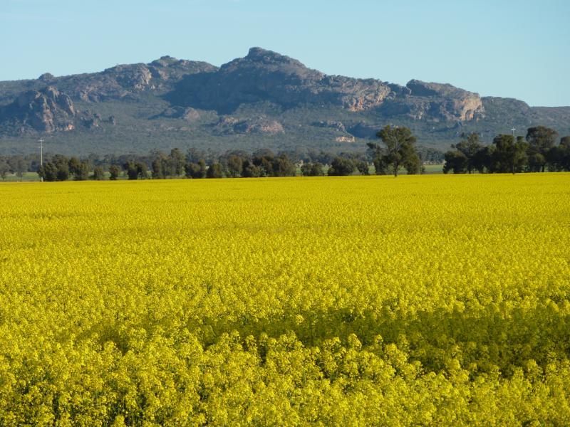
 Views from Wal Wal Road and Fishers Road near Taylors Lake - View towards the Grampians from Wal Wal Rd south of Fishers Rd
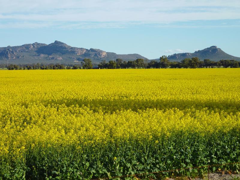
 Views from Wal Wal Road and Fishers Road near Taylors Lake - View towards Mt Difficult Range from Wal Wal Rd south of Fishers Rd
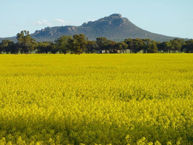
 Views from Wal Wal Road and Fishers Road near Taylors Lake - View towards Mt Difficult Range and Mt Zero from Wal Wal Rd south of Fishers Rd
 Views from Wal Wal Road and Fishers Road near Taylors Lake - View towards Mt Zero from Wal Wal Rd south of Fishers Rd
 Views from Wal Wal Road and Fishers Road near Taylors Lake - View south along Fishers Rd towards Wal Wal Rd and the Grampians
 Views from Wal Wal Road and Fishers Road near Taylors Lake - Fields on east side of Fishers Rd north of Wal Wal Rd
 Views from Wal Wal Road and Fishers Road near Taylors Lake - View south along Fishers Rd towards the Grampians
 Views from Wal Wal Road and Fishers Road near Taylors Lake - View south towards Mt Zero from Fishers Rd
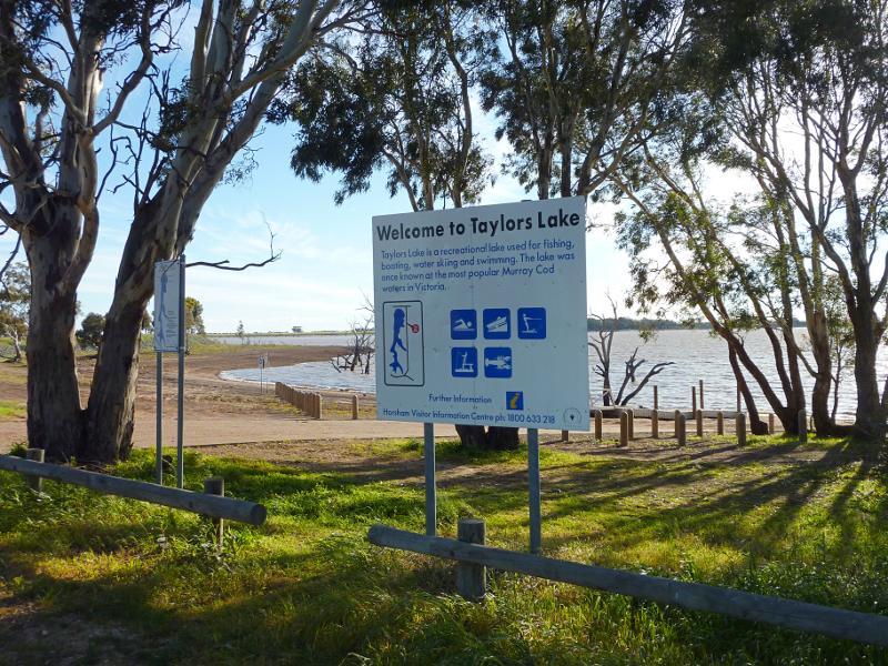 Taylors Lake recreation area, Fishers Road - View towards lake from car park
 Taylors Lake recreation area, Fishers Road - Boat ramp
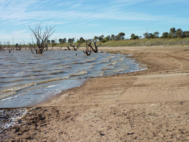 Taylors Lake recreation area, Fishers Road - View north along lake at boat ramp
 Western Highway north-west of Horsham - View south-east along Western Hwy towards Horsham town sign
 Western Highway north-west of Horsham - View north-west along Western Hwy just outside of the town
 Western Highway north-west of Horsham - View south-east along Western Hwy near Pelchan Rd, Dahlen
 Western Highway north-west of Horsham - View north-west along Western Hwy near Pelchan Rd, Dahlen
 Western Highway north-west of Horsham - View west along Bartletts Rd, Pimpinio
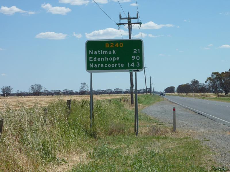
 Henty Highway north-west of Horsham - View north-east along Henty Hwy at Rasmussen Rd
 Henty Highway north-west of Horsham - North-west view across railway line, 1 km north of Rasmussen Rd
 Henty Highway north-west of Horsham - Dooen Hotel, Dooen
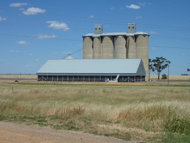 Henty Highway north-west of Horsham - Wheat silos, Western Hwy near Creamery Rd, Dooen
 Henty Highway north-west of Horsham - View south along Henty Hwy, south of Wimmera Hwy
 Henty Highway north-west of Horsham - Northerly view, Henty Hwy north of Wimmera Hwy
 Henty Highway north-west of Horsham - Westerly view, Henty Hwy north of Wimmera Hwy
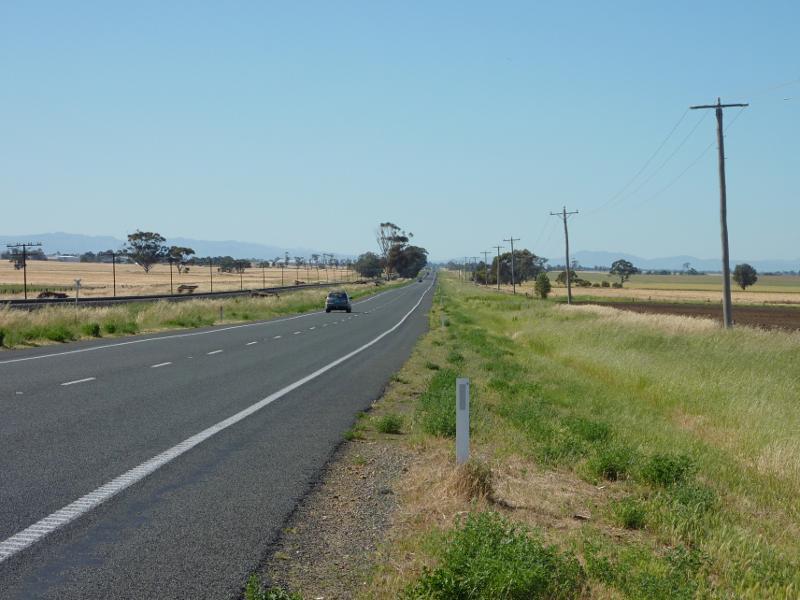
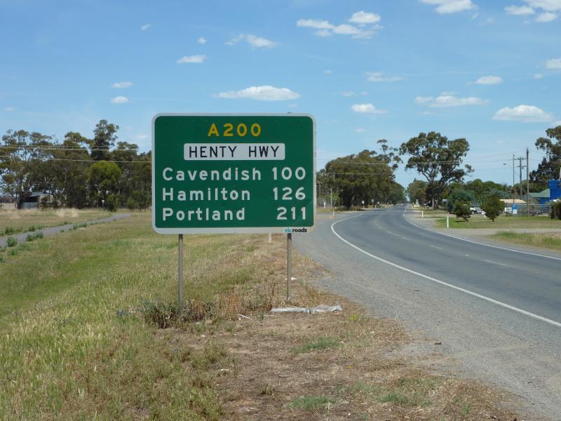 Henty Highway south of Horsham - View south along Henty Hwy near Old Hamilton Rd
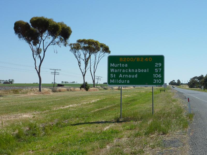
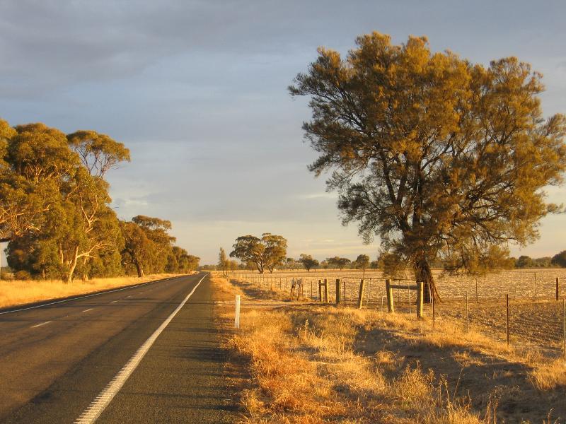 Henty Highway south of Horsham - View south along Henty Hwy, 17 km south of Horsham
 Wimmera Highway west of Horsham - Grain Innovation Centre, western edge of Horsham
 Wimmera Highway west of Horsham - Horsham town sign, view north-east along Wimmera Hwy near Curran Rd
 Wimmera Highway west of Horsham - View south-west along Wimmera Hwy, west of Curran Rd
 Wimmera Highway west of Horsham - View south across fields, west of Curran Rd