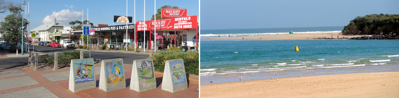
Inverloch - photos
Inverloch
Stay
See and do
Food and drink
Shopping
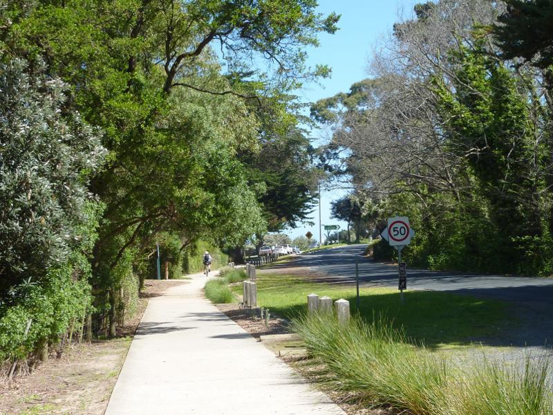
Getting around
Visitor information
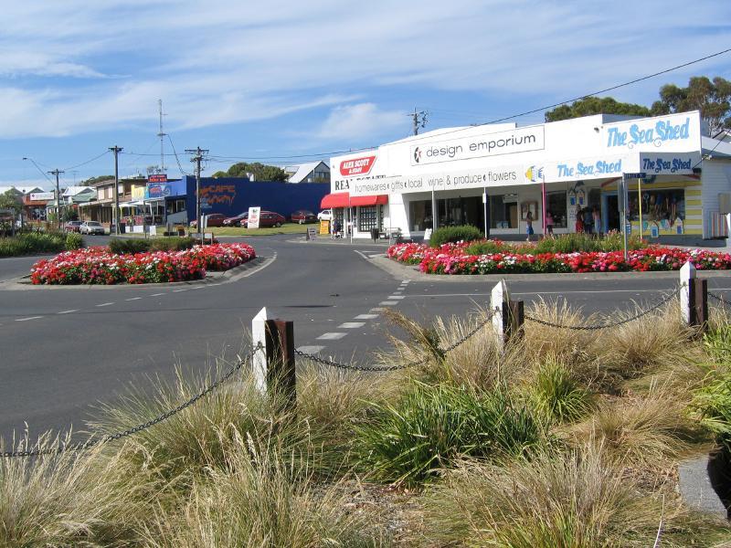
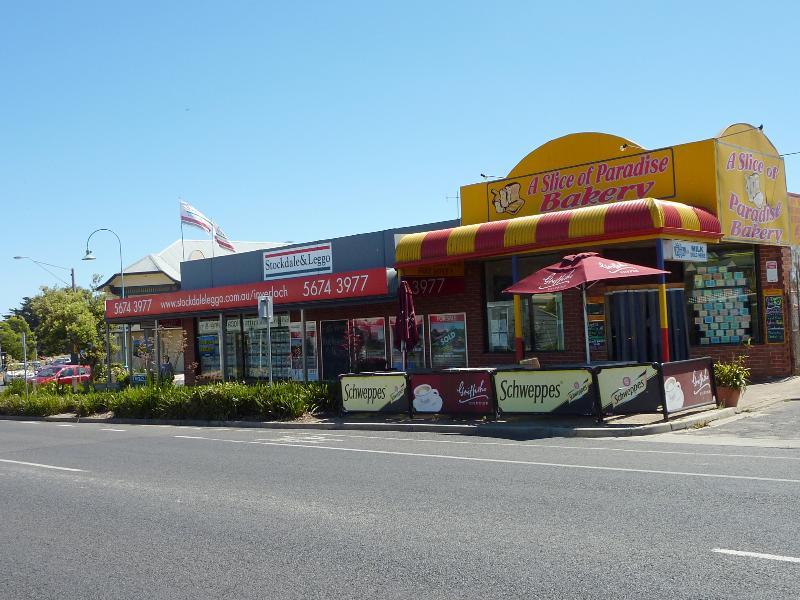
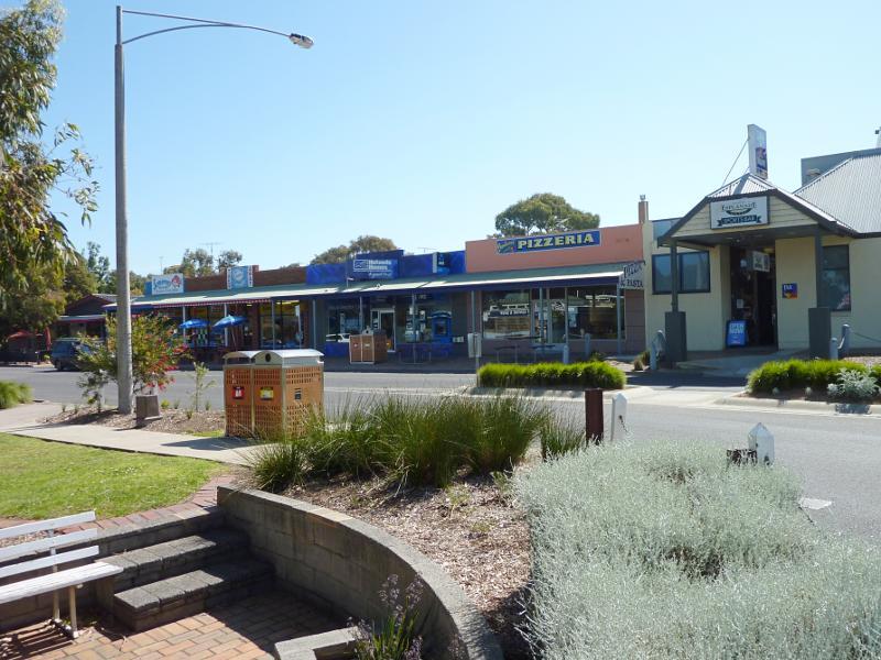
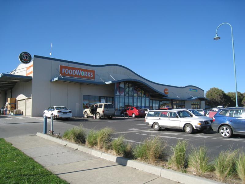 Shops and commercial centre, A'Beckett Street and Williams Street - Supermarket, Reilly St north of A'Beckett St
 Shops and commercial centre, A'Beckett Street and Williams Street - View west along A'Beckett St towards Alma St
 Shops and commercial centre, A'Beckett Street and Williams Street - View south across A'Beckett St near Reilly St
 Shops and commercial centre, A'Beckett Street and Williams Street - Rotary clocktower, view east along A'Beckett St towards Reilly St
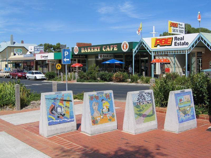 Shops and commercial centre, A'Beckett Street and Williams Street - Murals, view east along A'Beckett St towards Reilly St
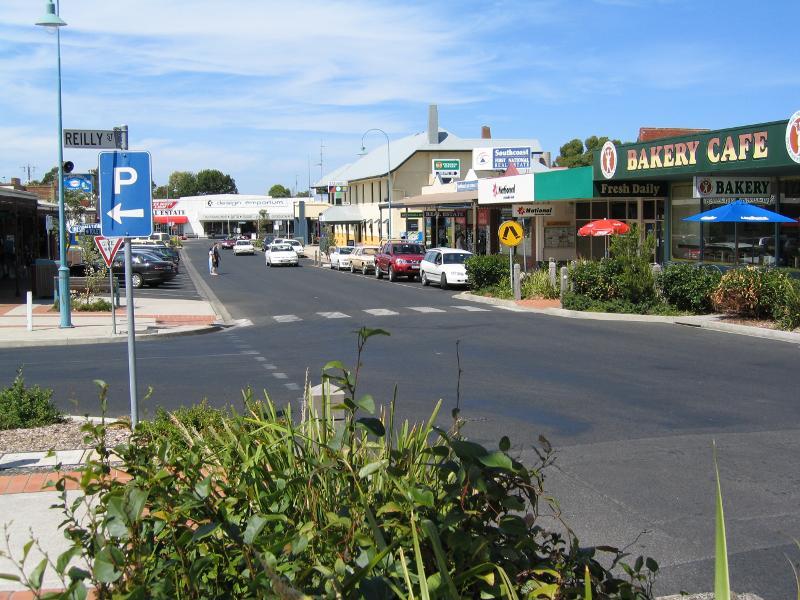 Shops and commercial centre, A'Beckett Street and Williams Street - View east along A'Beckett St at Reilly St
 Shops and commercial centre, A'Beckett Street and Williams Street - View east across Reilly St at A'Beckett St
 Shops and commercial centre, A'Beckett Street and Williams Street - View north across A'Beckett St at Reilly St
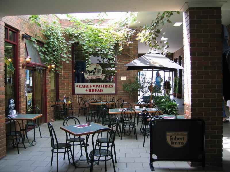 Shops and commercial centre, A'Beckett Street and Williams Street - Arcade, north side of A'Beckett St
 Shops and commercial centre, A'Beckett Street and Williams Street - View west along A'Beckett St towards Reilly St
 Shops and commercial centre, A'Beckett Street and Williams Street - View north across A'Beckett St near Williams St
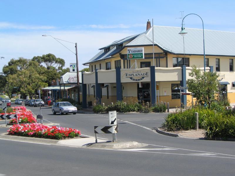
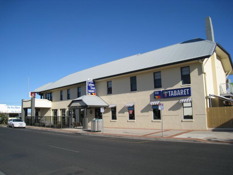 Shops and commercial centre, A'Beckett Street and Williams Street - Esplanade Hotel viewed from A'Beckett St
 Shops and commercial centre, A'Beckett Street and Williams Street - Esplanade Hotel, corner A'Beckett St and Williams St
 Shops and commercial centre, A'Beckett Street and Williams Street - View south along Williams St towards A'Beckett St and Esplanade Hotel
 Shops and commercial centre, A'Beckett Street and Williams Street - View north along Williams St at The Esplanade
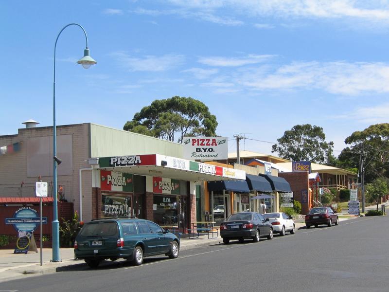
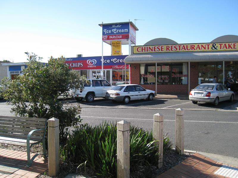
 Shops and commercial centre, A'Beckett Street and Williams Street - Shops along west side of Williams St opposite Hopetoun St
 Shops and commercial centre, A'Beckett Street and Williams Street - Shops along east side of Williams St north of Hopetoun St
 Shops and commercial centre, A'Beckett Street and Williams Street - Post office, view south along Williams St at High St
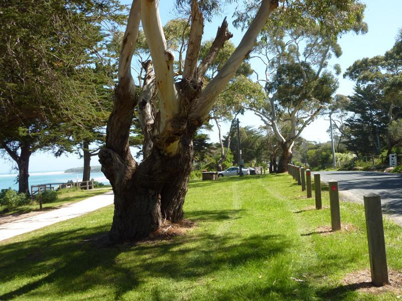
 Ramsey Boulevard - Shops along west side of Ramsey Bvd, just south of A'Beckett St
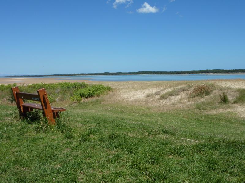
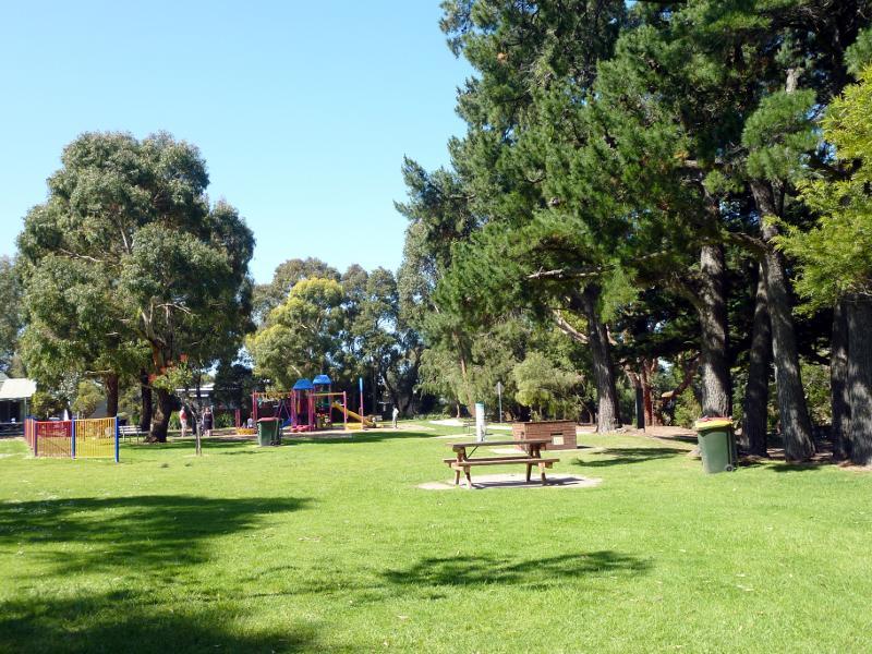 Ramsey Boulevard - Wyeth-McNamara Park, Ramsey Bvd opposite Scarborough St
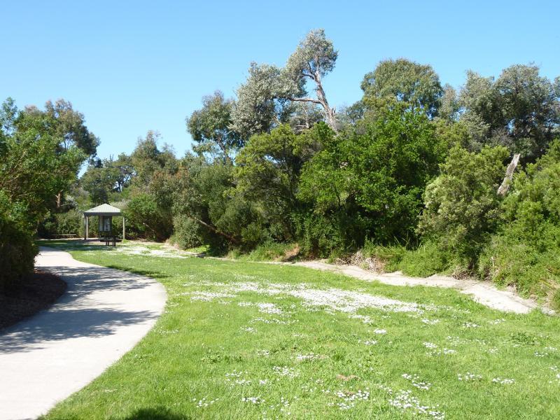 Ramsey Boulevard - Pathway along Ramsey Bvd, south of Wyeth-McNamara Park
 Western end of The Esplanade - Bunurong Environment Centre & Shell Museum, corner The Esplanade and Ramsey Bvd
 Western end of The Esplanade - View north-west from The Esplanade towards Ramsey Bvd
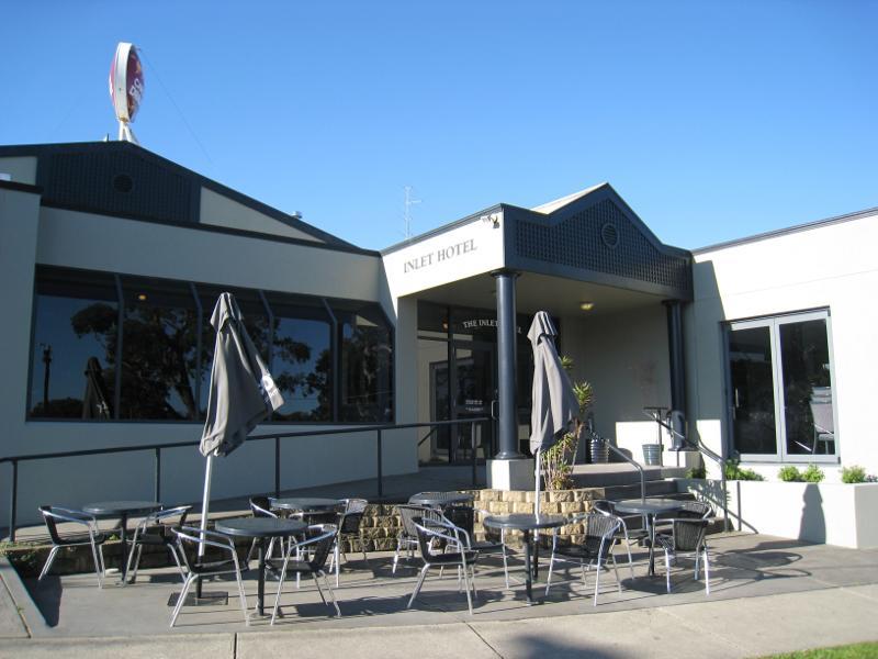 Western end of The Esplanade - Inlet Hotel
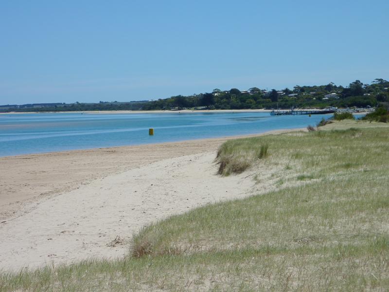
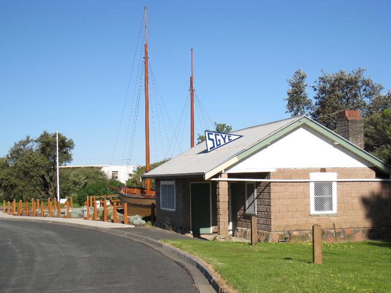 Western end of The Esplanade - View east along The Esplanade towards South Gippsland Yacht Club
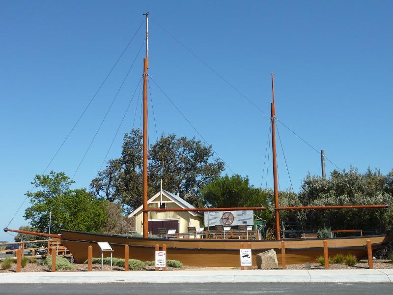 Western end of The Esplanade - Replica of the ketch 'Ripple', The Esplanade near Bay St
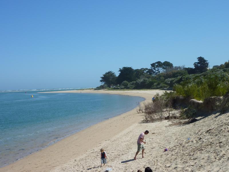
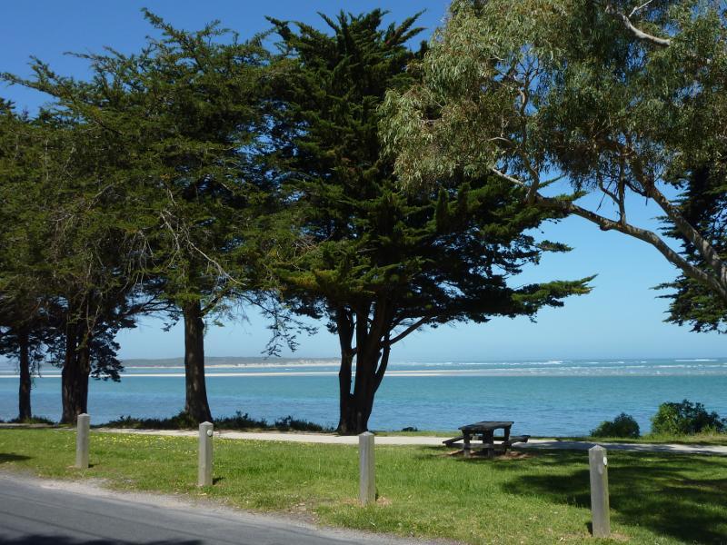
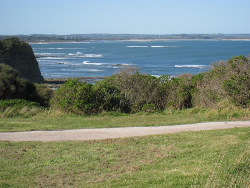
 The Glade foreshore reserve, The Esplanade - The Glade viewed from The Esplanade
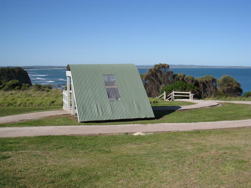
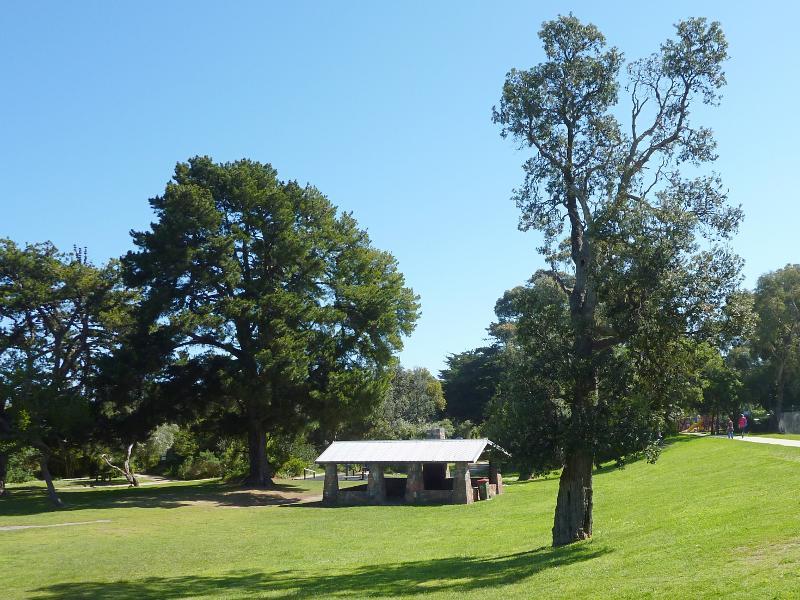 The Glade foreshore reserve, The Esplanade - Shelter
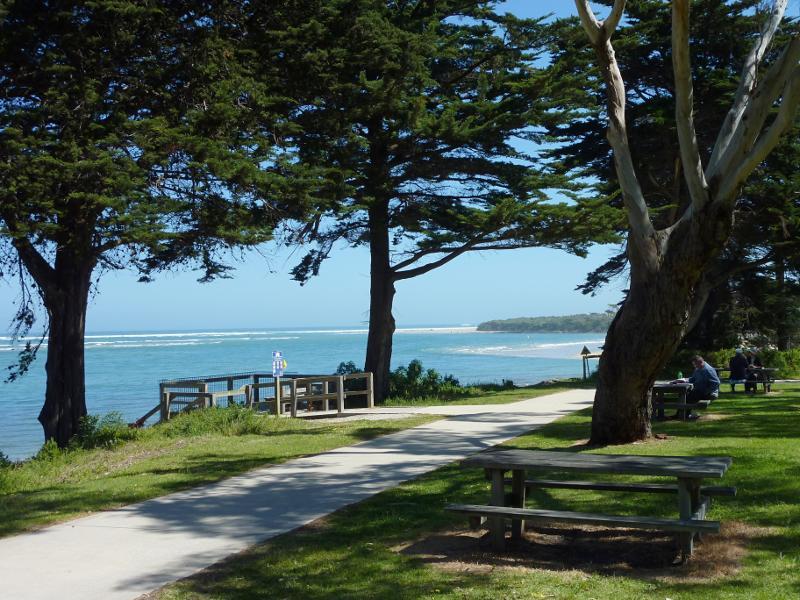
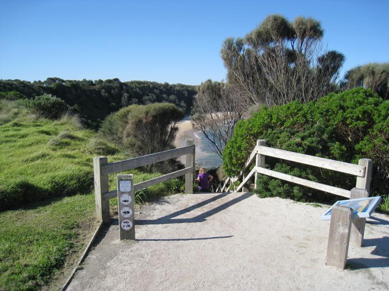
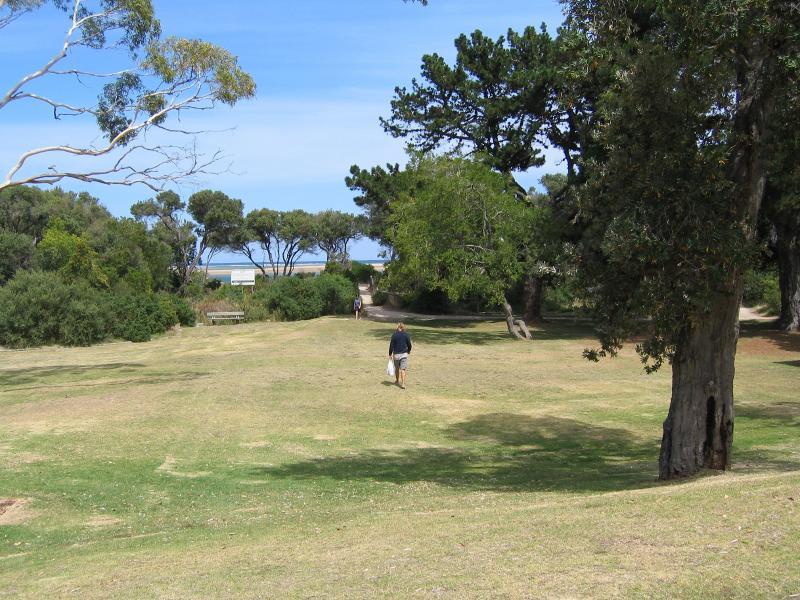 The Glade foreshore reserve, The Esplanade - View through The Glade towards the beach
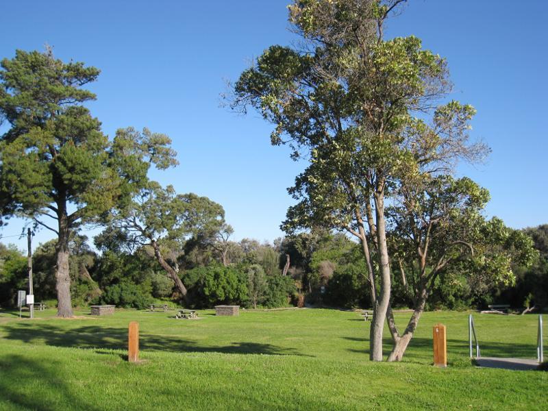 The Glade foreshore reserve, The Esplanade - BBQ and picnic areas
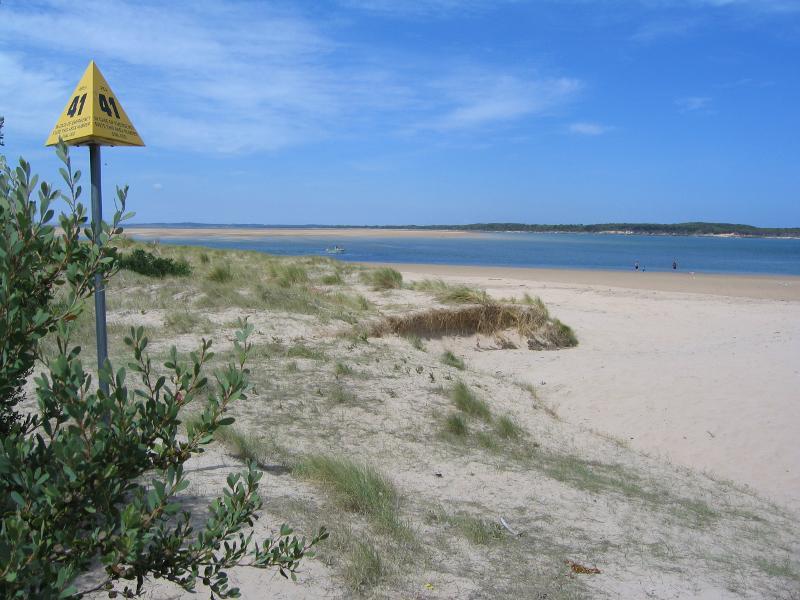
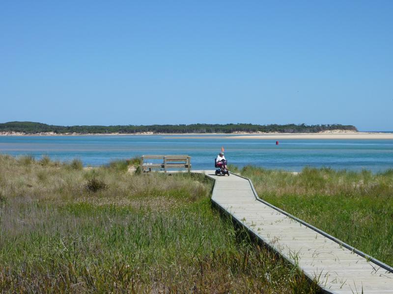
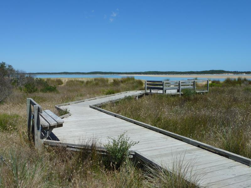
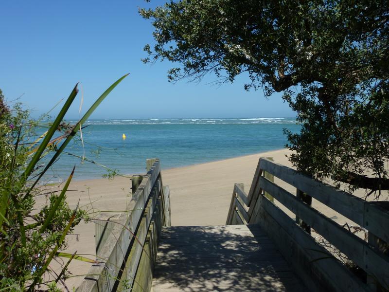
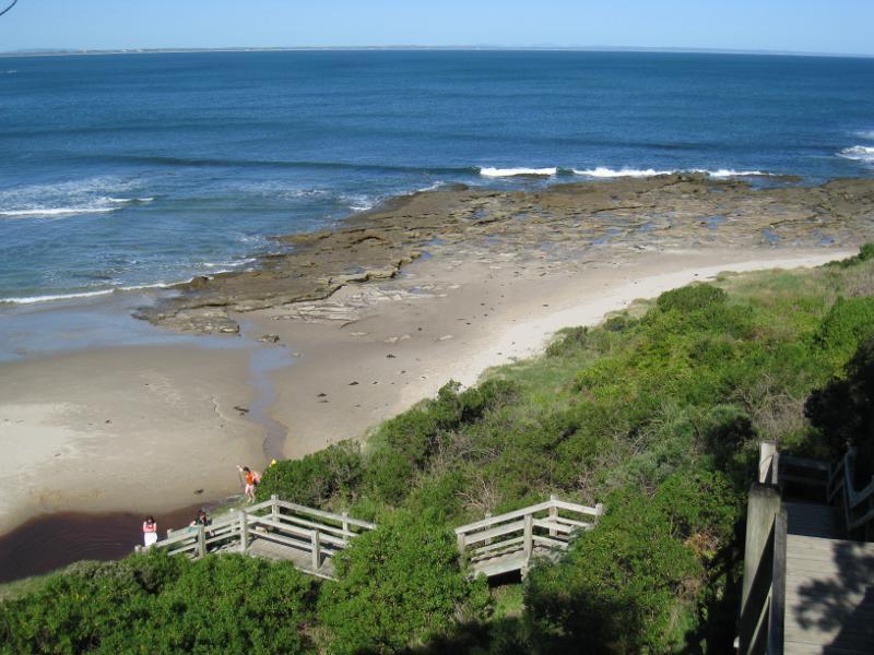
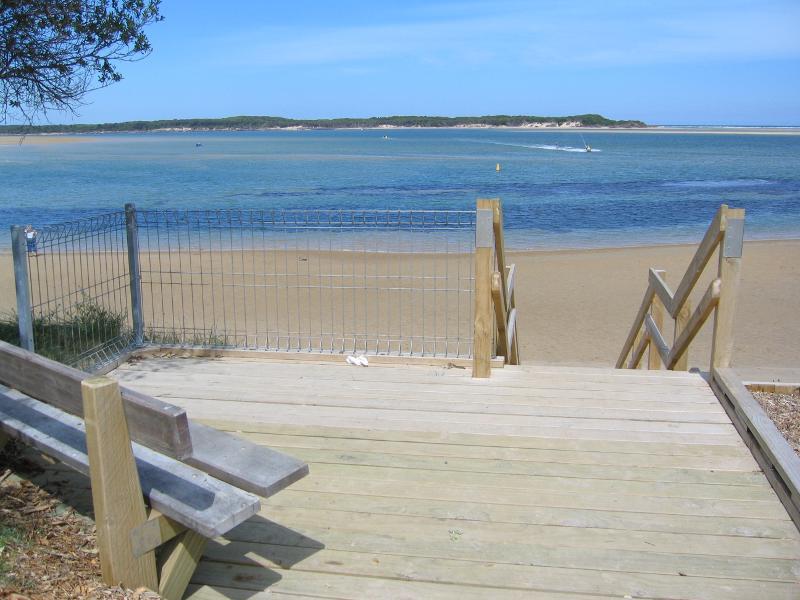 Inverloch town beach, Anderson Inlet west of Inverloch Jetty - Viewing platform on foreshore, looking south towards Point Smythe
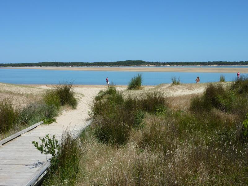
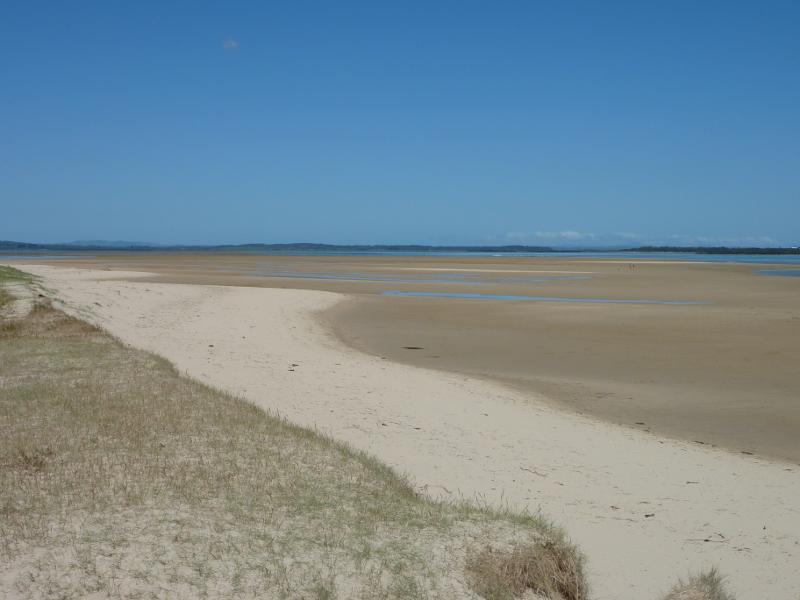
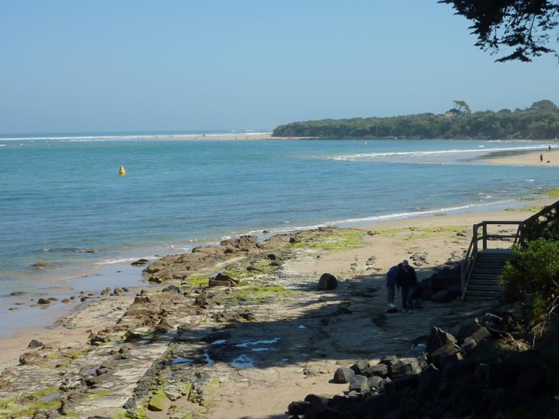
 Inverloch town beach, Anderson Inlet west of Inverloch Jetty - View west along beach from path to Inverloch Jetty
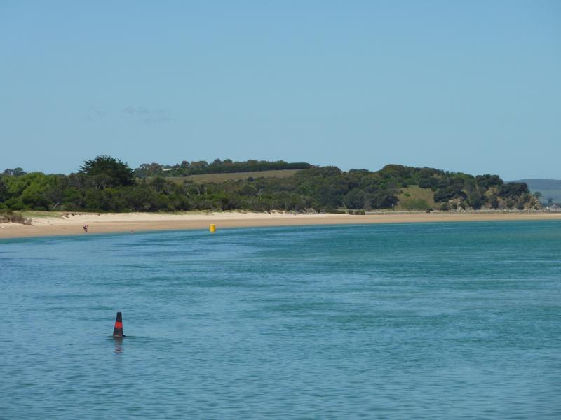
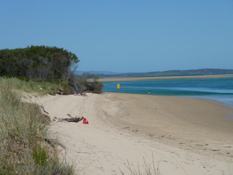
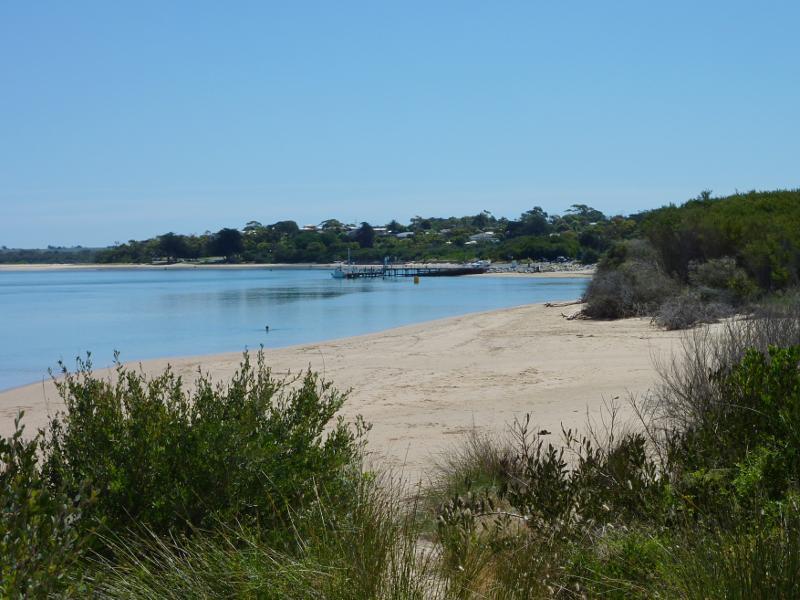
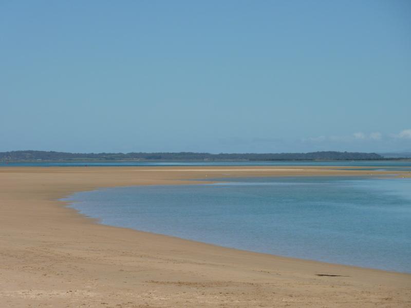
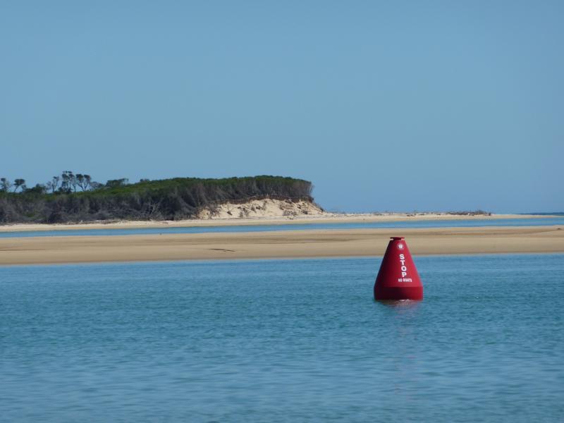
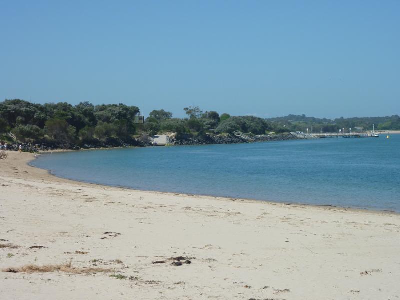
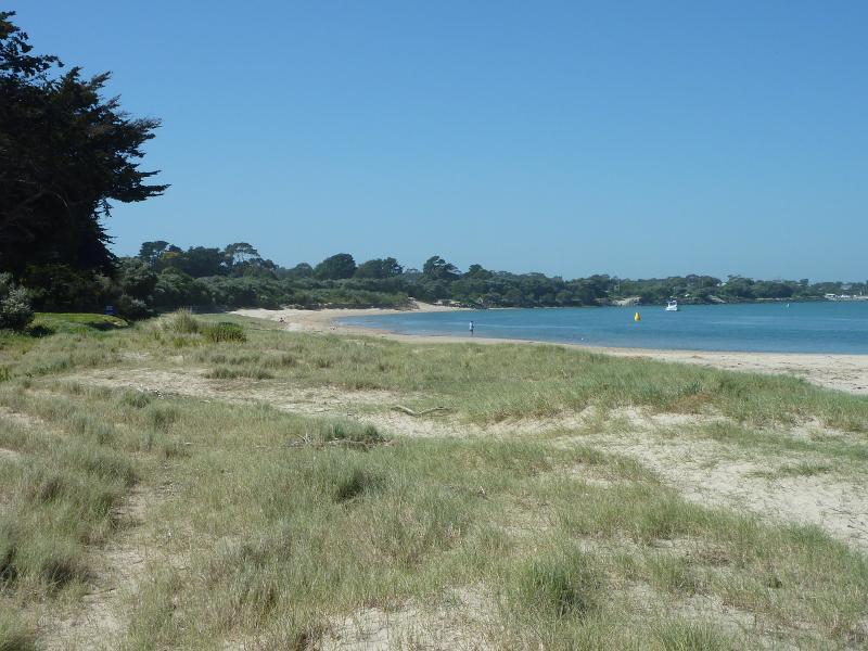
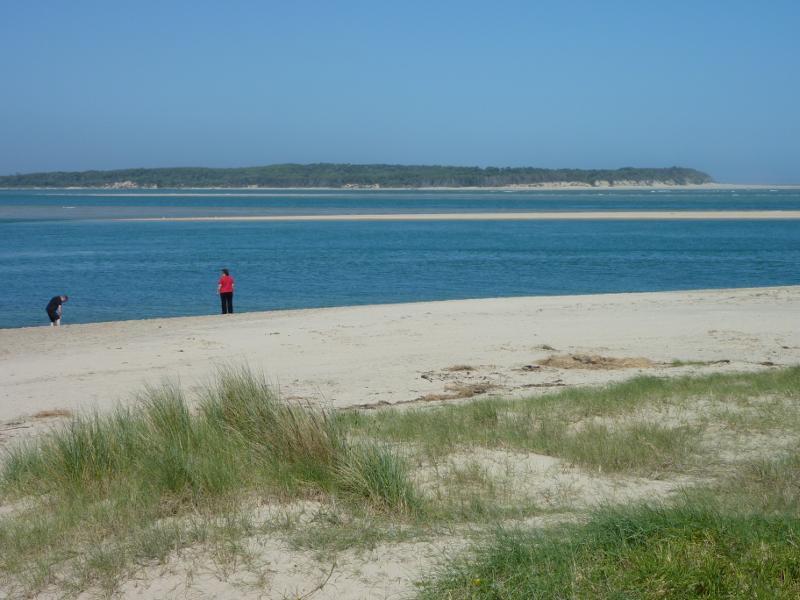
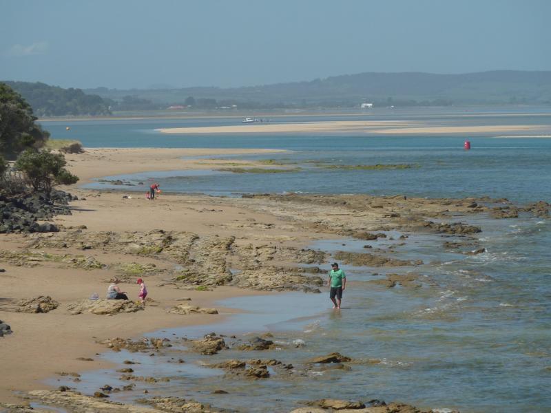
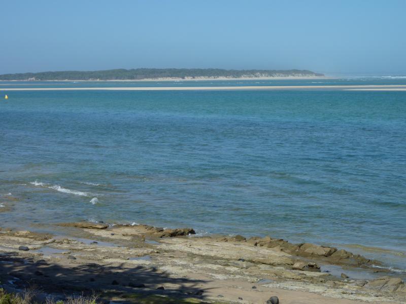
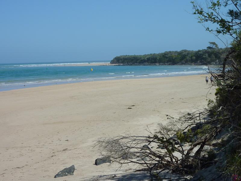
 Inverloch town beach, Anderson Inlet west of Inverloch Jetty - View south-east along Anderson Inlet
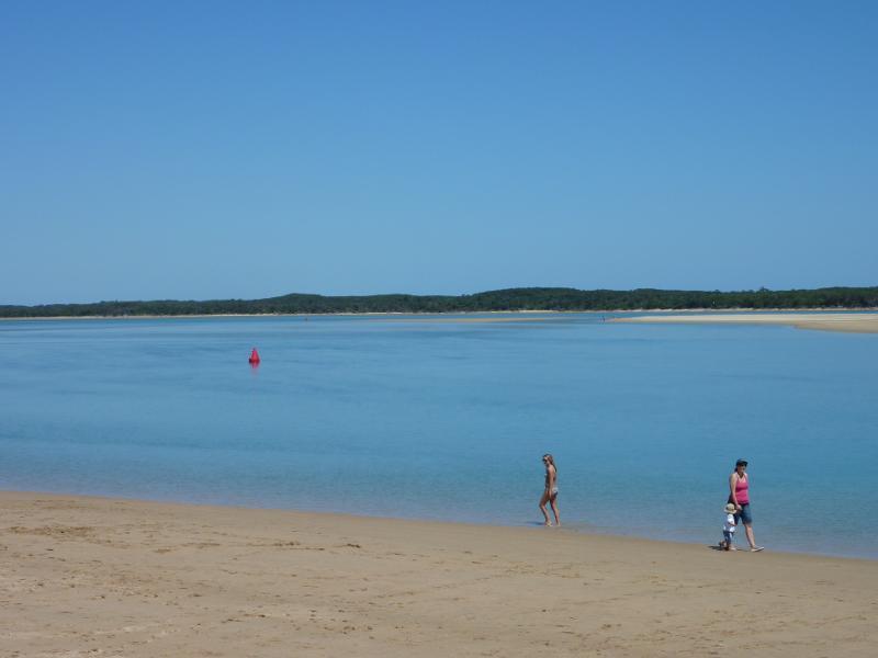
 Inverloch town beach, Anderson Inlet west of Inverloch Jetty - View south across beach towards Point Smythe
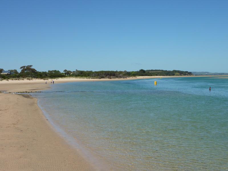
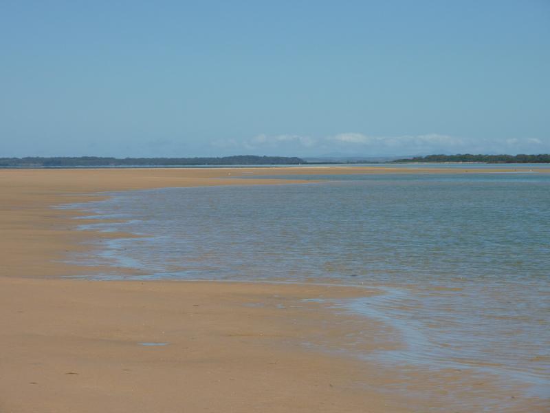
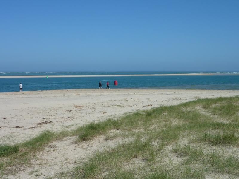
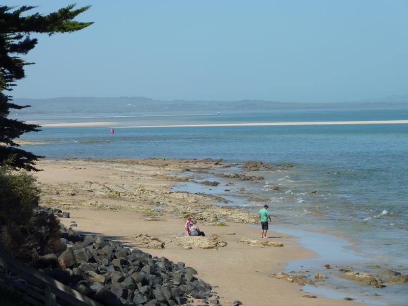
 Inverloch town beach, Anderson Inlet west of Inverloch Jetty - View south from beach towards Anderson Inlet
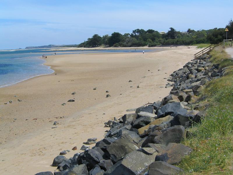
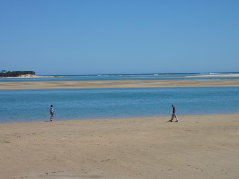
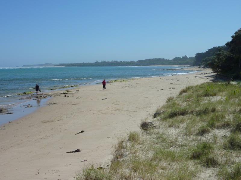
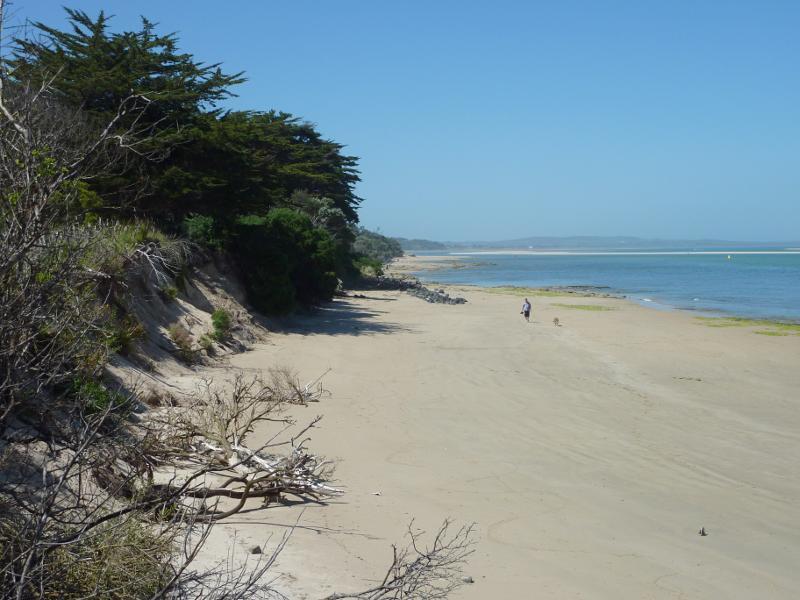
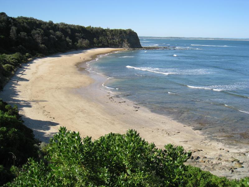
 Inverloch town beach, Anderson Inlet west of Inverloch Jetty - South-westerly view along beach
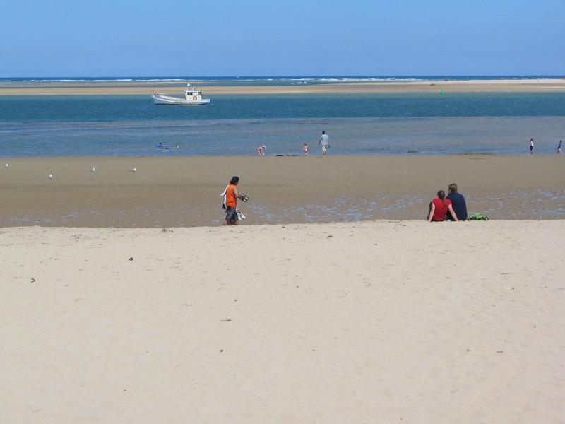
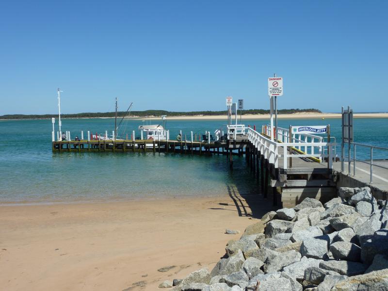
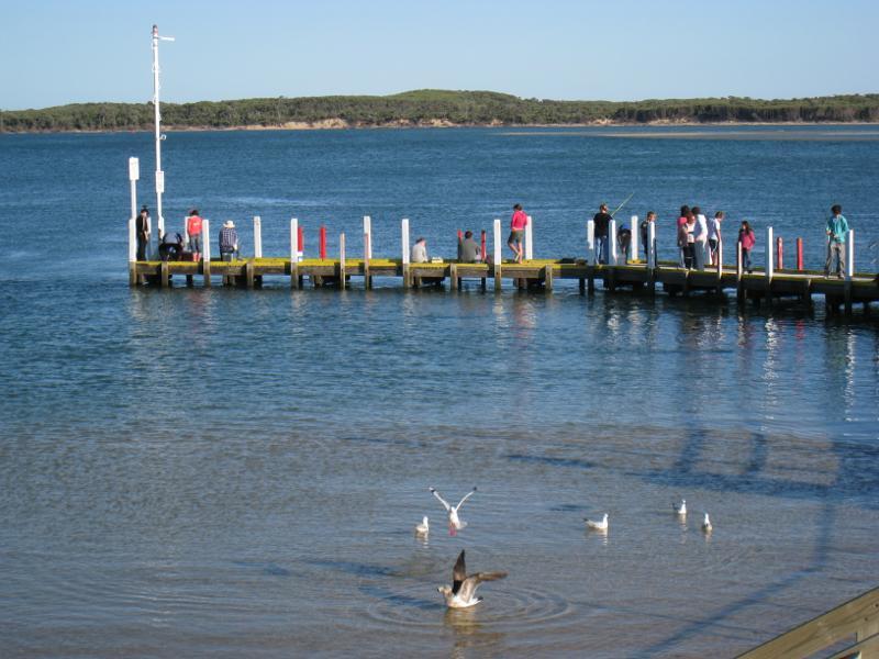
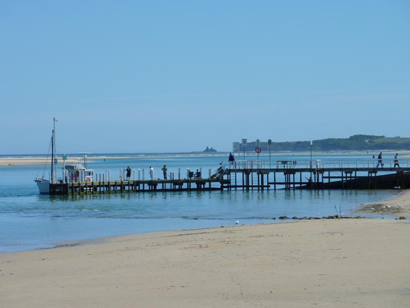
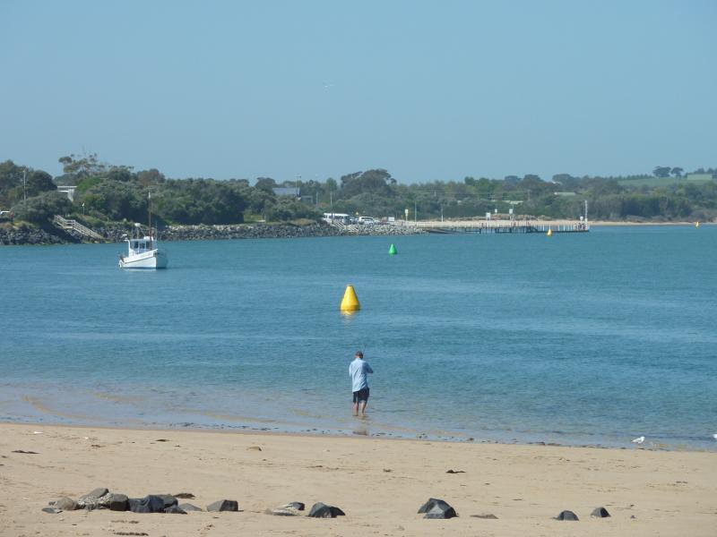
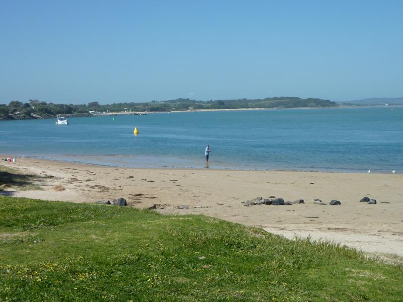
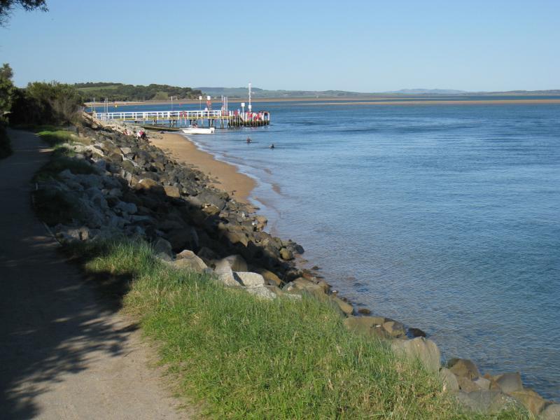 Inverloch Jetty, Anderson Inlet at Point Hughes - View east along Anderson Inlet towards jetty
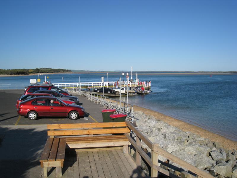 Inverloch Jetty, Anderson Inlet at Point Hughes - Car park at jetty
 Inverloch Jetty, Anderson Inlet at Point Hughes - Boat ramp at jetty
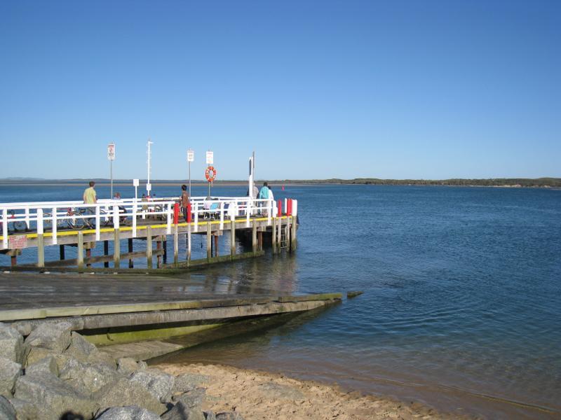
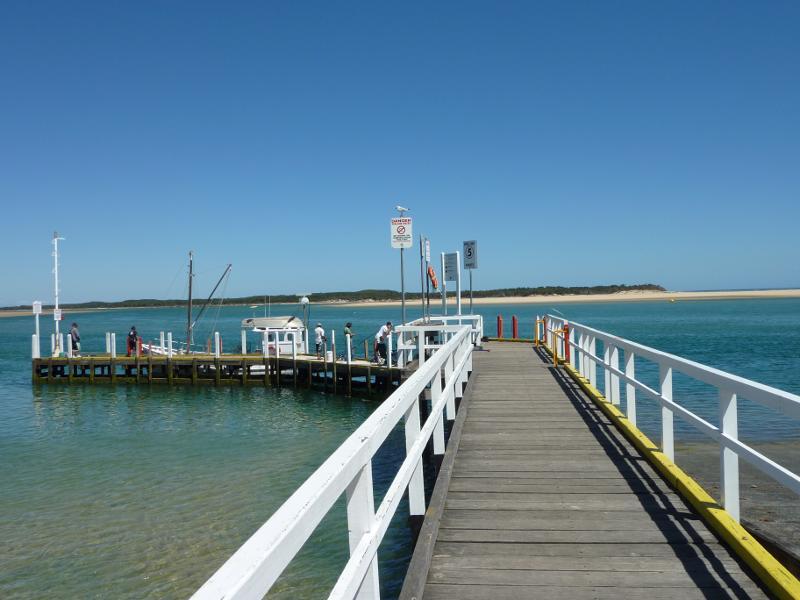
 Inverloch Jetty, Anderson Inlet at Point Hughes - View along jetty and boat ramp
 Inverloch Jetty, Anderson Inlet at Point Hughes - View towards jetty and Anderson Inlet from car park
 Inverloch Jetty, Anderson Inlet at Point Hughes - View across Anderson Inlet towards end of jetty
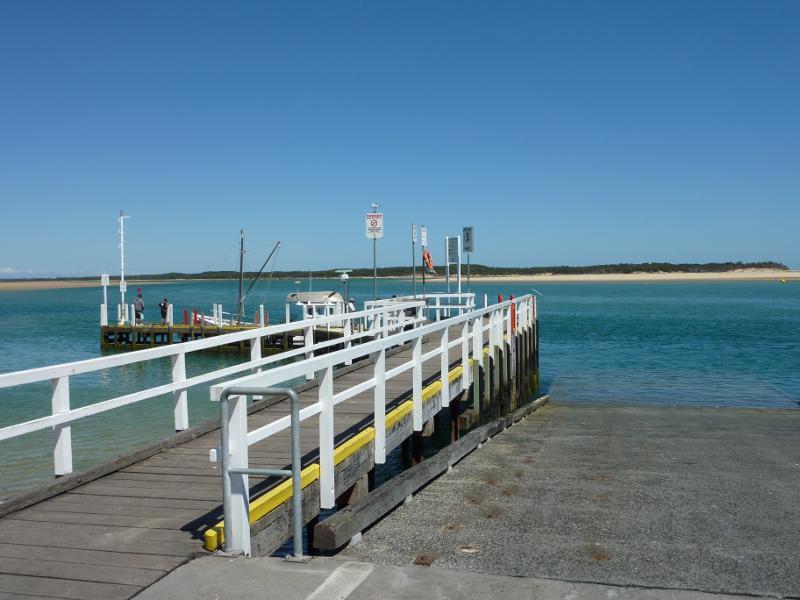
 Inverloch Jetty, Anderson Inlet at Point Hughes - View along jetty near entrance
 Inverloch Jetty, Anderson Inlet at Point Hughes - View along jetty towards its end
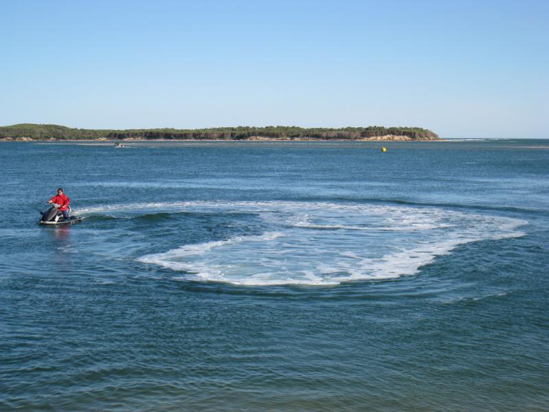 Inverloch Jetty, Anderson Inlet at Point Hughes - Jet skier on Anderson Inlet viewed from jetty
 Inverloch Jetty, Anderson Inlet at Point Hughes - View east along coast from jetty
 Inverloch Jetty, Anderson Inlet at Point Hughes - View east along beach from jetty
 Inverloch Jetty, Anderson Inlet at Point Hughes - View east along Anderson Inlet from jetty
 Rotary Park and beach, The Esplanade at Pymble Avenue - BBQ shelter and picnic area
 Rotary Park and beach, The Esplanade at Pymble Avenue - View south along path to beach
 Rotary Park and beach, The Esplanade at Pymble Avenue - View north along path towards The Esplanade
 Rotary Park and beach, The Esplanade at Pymble Avenue - View south along path towards beach
 Rotary Park and beach, The Esplanade at Pymble Avenue - View south across Anderson Inlet
 Rotary Park and beach, The Esplanade at Pymble Avenue - View south-west across beach towards jetty
 Rotary Park and beach, The Esplanade at Pymble Avenue - View south-east across Anderson Inlet
 Rotary Park and beach, The Esplanade at Pymble Avenue - View east along beach
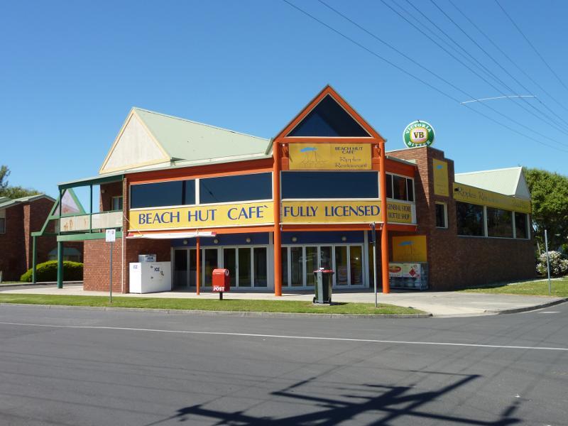 Beach and foreshore, The Esplanade at Cuttriss Street - Cafe, corner The Esplanade and Cuttriss St
 Beach and foreshore, The Esplanade at Cuttriss Street - View south along path towards beach
 Beach and foreshore, The Esplanade at Cuttriss Street - View south along path towards beach
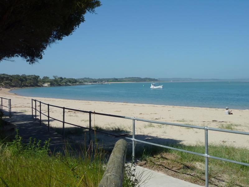
 Beach and foreshore, The Esplanade at Cuttriss Street - View west along beach towards jetty
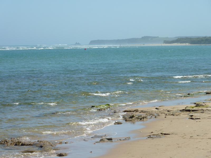
 Beach and foreshore, The Esplanade at Cuttriss Street - View south across Anderson Inlet
 Beach and foreshore, The Esplanade at Cuttriss Street - View south-east along Anderson Inlet
 Beach and foreshore, eastern end of The Esplanade - View of beach from Anderson Inlet Angling Club
 Beach and foreshore, eastern end of The Esplanade - View towards Anderson Inlet from foreshore
 Beach and foreshore, eastern end of The Esplanade - View west along foreshore
 Beach and foreshore, eastern end of The Esplanade - View south-west across beach
 Beach and foreshore, eastern end of The Esplanade - View across Anderson Inlet towards Point Smythe
 Beach and foreshore, eastern end of The Esplanade - View south across Anderson Inlet
 Beach and foreshore, eastern end of The Esplanade - View south-east across Anderson Inlet
 Beach and foreshore, eastern end of The Esplanade - View east along Anderson Inlet
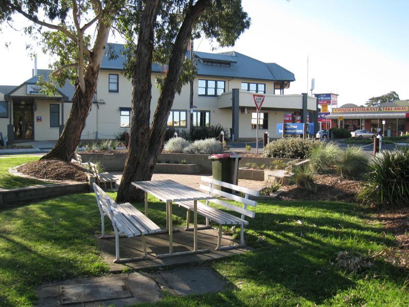
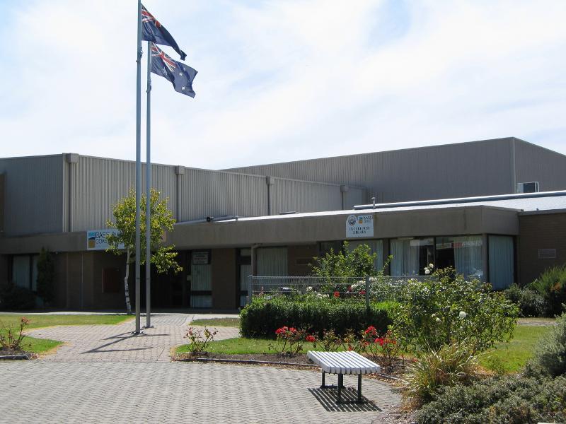 Around Inverloch - Inverloch Library, corner A'Beckett St and Reilly St
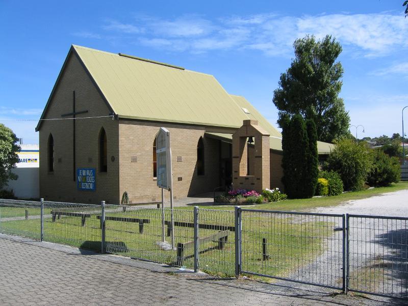 Around Inverloch - Uniting Church, Williams St south of High St
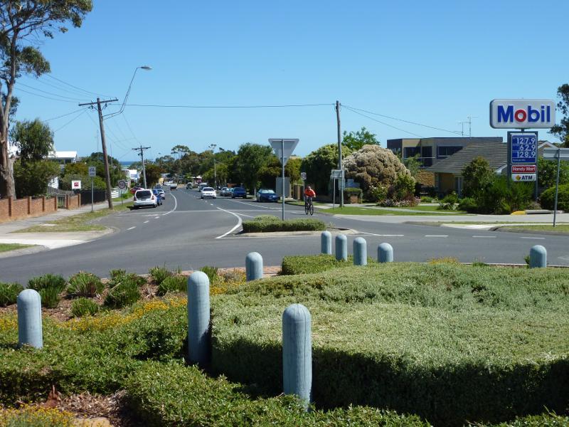 Around Inverloch - View south along Williams St at Bayview Av
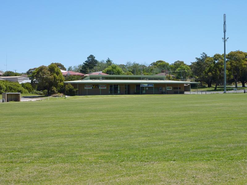 Around Inverloch - Pavillion at sports oval, Bayview Av
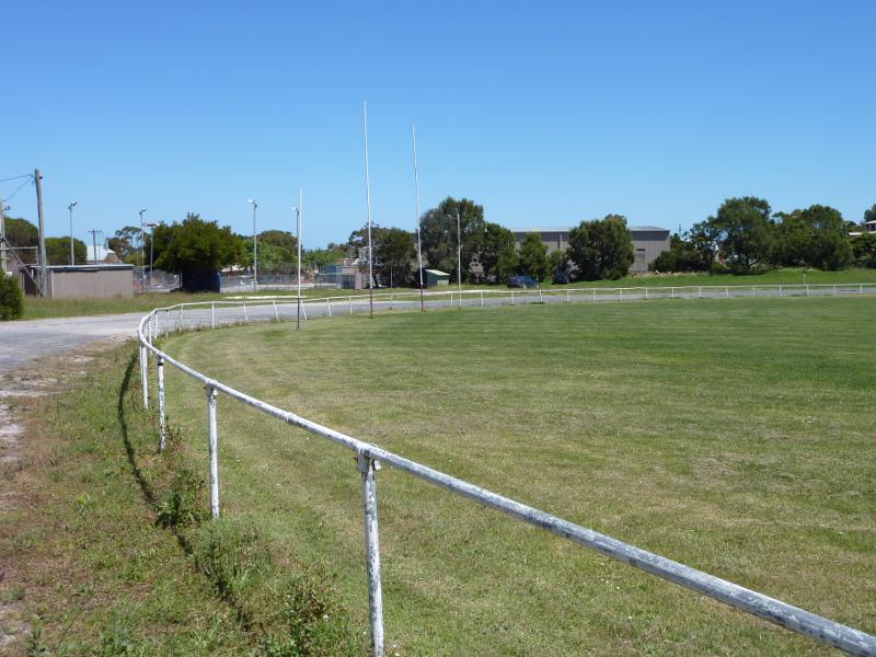 Around Inverloch - Sports oval, Bayview St
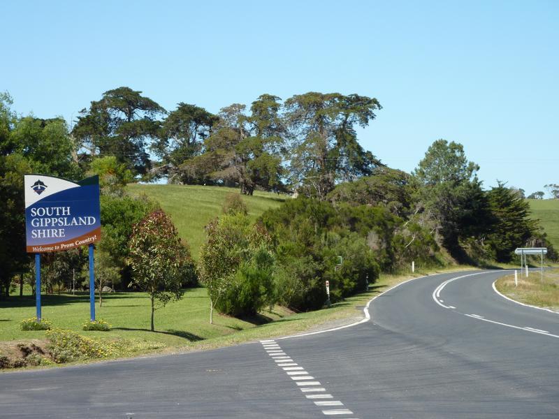
 Bass Highway around Inverloch - View east along Bass Hwy at cemetery towards Korumburra Rd
 Bass Highway around Inverloch - View south-east along Powlett St at Bass Hwy
 Bass Highway around Inverloch - View north from Bass Hwy at Sandy Mount Av
 Bass Highway around Inverloch - View north-east from Bass Hwy at Sandy Mount Av
 Bass Highway around Inverloch - View north-east from Bass Hwy at Sandy Mount Av
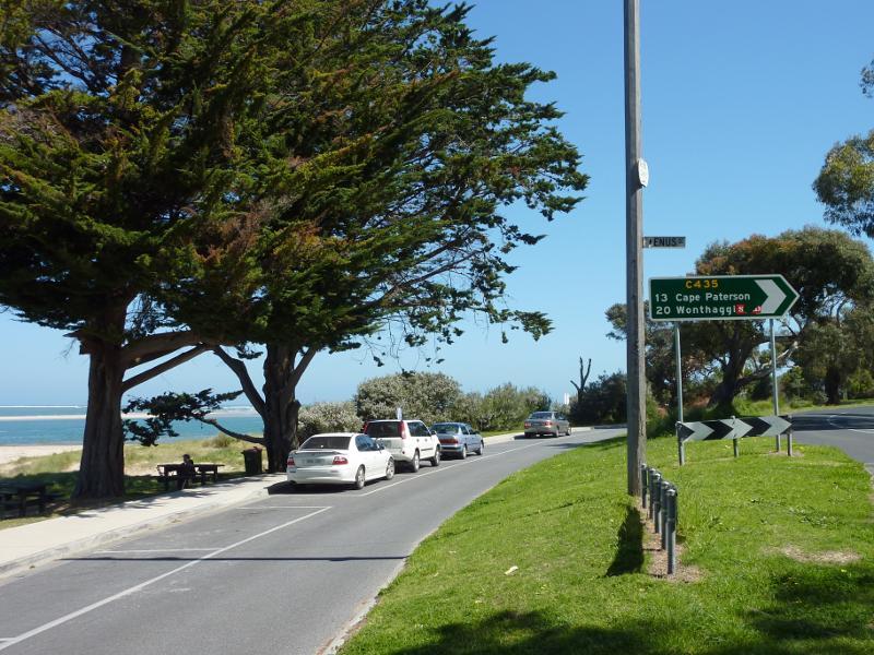
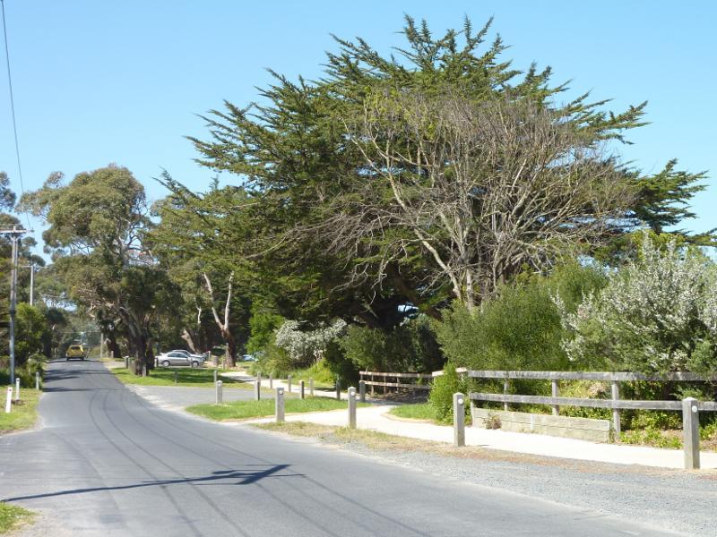
 Venus Bay Road, east of Inverloch - View east along Venus Bay Rd, east of Townsend Bluff Rd
 Venus Bay Road, east of Inverloch - View east along Venus Bay Rd at Pound Creek Rd
 Beach along Ramsey Boulevard at Hillside Avenue - View south-west along Ramsey Bvd at pathway to beach
 Beach along Ramsey Boulevard at Hillside Avenue - View east along coast towards jetty
 Beach along Ramsey Boulevard at Hillside Avenue - View east across Anderson Inlet
 Beach along Ramsey Boulevard at Hillside Avenue - View east across Anderson Inlet
 Beach along Ramsey Boulevard at Hillside Avenue - View south-east towards Point Smythe
 Beach along Ramsey Boulevard at Hillside Avenue - View south across beach
 Beach along Ramsey Boulevard at Hillside Avenue - View south-west along coast
 Beach along Ramsey Boulevard at Venus Street - View south-west along Ramsey Bvd towards Venus St
 Beach along Ramsey Boulevard at Venus Street - View north-east along beach
 Beach along Ramsey Boulevard at Venus Street - View north-east along foreshore
 Beach along Ramsey Boulevard at Venus Street - View north-east across Anderson Inlet towards boat ramp
 Beach along Ramsey Boulevard at Venus Street - View north-east across Anderson Inlet
 Beach along Ramsey Boulevard at Venus Street - View east towards Point Smythe
 Beach along Ramsey Boulevard at Venus Street - View south-east across entrance to Anderson Inlet
 Beach along Ramsey Boulevard at Venus Street - View south-west across ocean towards Eagles Nest
 Beach along Ramsey Boulevard at Venus Street - View west along beach
 Beach along Ramsey Boulevard at Western Street - View west along Ramsey Bvd
 Beach along Ramsey Boulevard at Western Street - View from Ramsey Bvd towards Point Smythe
 Beach along Ramsey Boulevard at Western Street - View out to sea from picnic area
 Beach along Ramsey Boulevard at Western Street - View south-west through picnic area
 Beach along Ramsey Boulevard at Western Street - View east along coast
 Beach along Ramsey Boulevard at Western Street - View east along coast
 Beach along Ramsey Boulevard at Western Street - View south-east towards Point Smythe
 Beach along Ramsey Boulevard at Western Street - View south-west across beach
 Beach along Ramsey Boulevard at Western Street - View south-west along beach
 Beach along Ramsey Boulevard at Abbott Street - View east along Ramsey Bvd at Abbott St
 Beach along Ramsey Boulevard at Abbott Street - Steps down to beach
 Beach along Ramsey Boulevard at Abbott Street - View east along beach
 Beach along Ramsey Boulevard at Abbott Street - View south-east towards Point Smythe
 Beach along Ramsey Boulevard at Abbott Street - Beach
 Beach along Ramsey Boulevard at Abbott Street - View south-west across beach towards Point Norman
 Beach along Ramsey Boulevard at Abbott Street - View south-west along beach
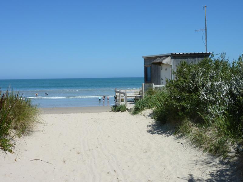
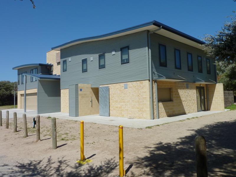 Beach at Inverloch Surf Life Saving Club, Surf Parade at Goroke Street - Club building viewed from car park
 Beach at Inverloch Surf Life Saving Club, Surf Parade at Goroke Street - Pathway from club to beach
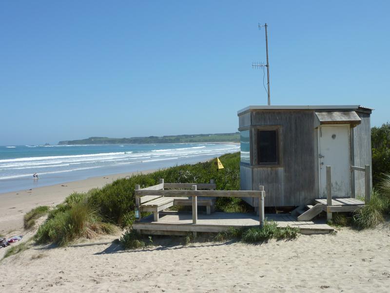 Beach at Inverloch Surf Life Saving Club, Surf Parade at Goroke Street - Viewing platform overlooking beach
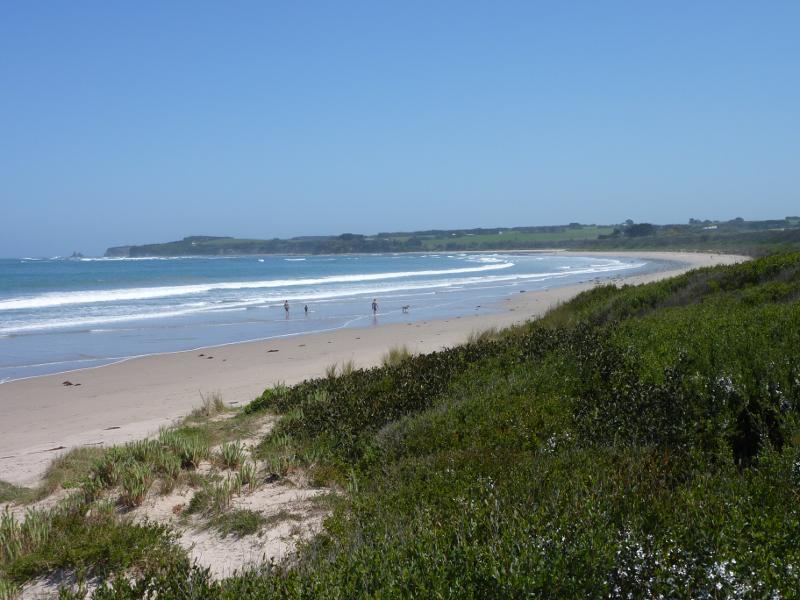 Beach at Inverloch Surf Life Saving Club, Surf Parade at Goroke Street - View south-west along coast
 Beach at Inverloch Surf Life Saving Club, Surf Parade at Goroke Street - View south-west across ocean towards Eagles Nest
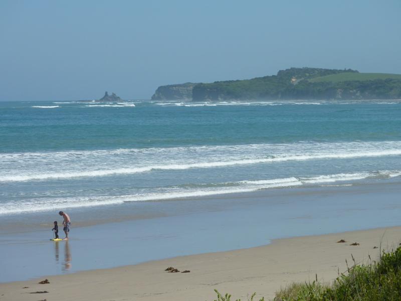
 Beach at Inverloch Surf Life Saving Club, Surf Parade at Goroke Street - View out to sea
 Beach at Inverloch Surf Life Saving Club, Surf Parade at Goroke Street - View south-east across beach
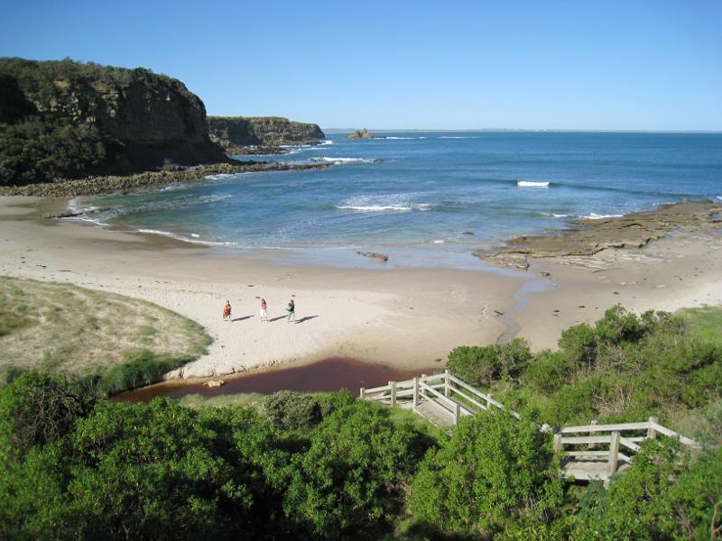
 Bunurong Coastal Drive - south of RACV Resort - Pathway to beach
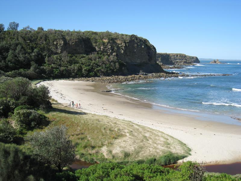
 Bunurong Coastal Drive - south of RACV Resort - View south-west along beach
 Bunurong Coastal Drive - south of RACV Resort - View south-west along beach
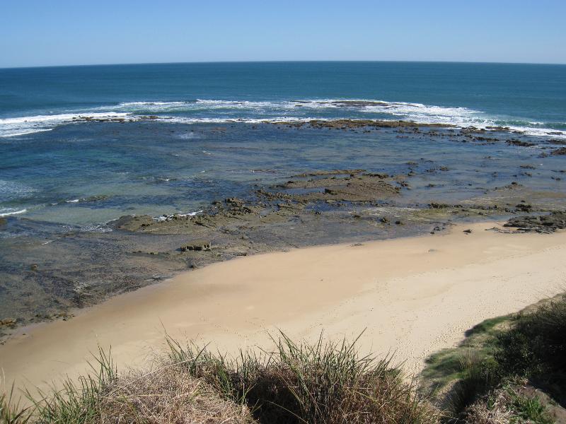
 Bunurong Coastal Drive - south of RACV Resort - View north-east along beach
 Bunurong Coastal Drive - The Caves - View of ocean from car park
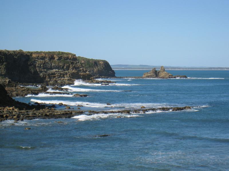
 Bunurong Coastal Drive - The Caves - View north-east along coast from car park
 Bunurong Coastal Drive - The Caves - Steps from beach up to car park
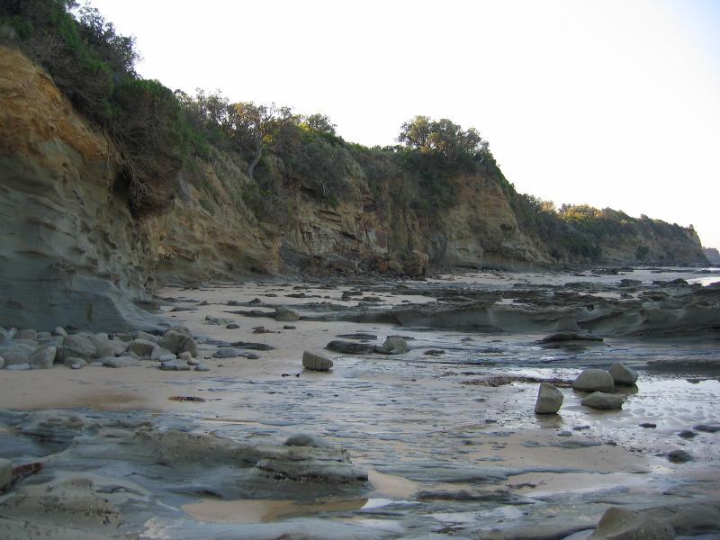 Bunurong Coastal Drive - The Caves - View north-east along base of cliffs on beach
 Bunurong Coastal Drive - Eagles Nest - View south-west along coast towards Eagles Nest
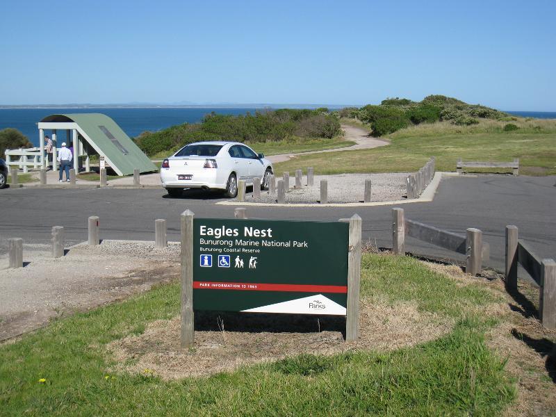 Bunurong Coastal Drive - Eagles Nest - Car park
 Bunurong Coastal Drive - Eagles Nest - Information shelter at car park
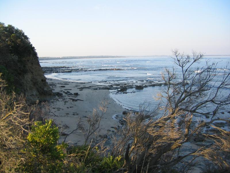
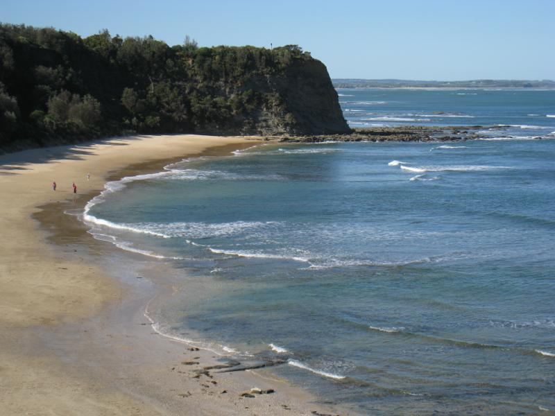
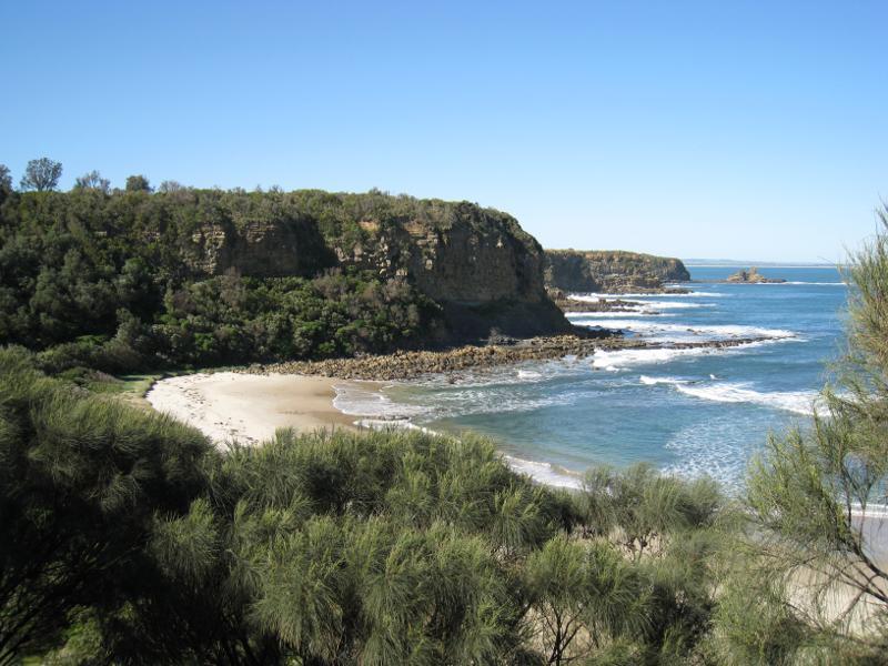
 Bunurong Coastal Drive - Eagles Nest - View north-east across Venus Bay towards Inverloch
 Bunurong Coastal Drive - Eagles Nest - Steps leading down to Eagles Nest Beach
 Bunurong Coastal Drive - Eagles Nest - View north-east along Eagles Nest Beach
 Bunurong Coastal Drive - Eagles Nest - View north-east along Eagles Nest Beach
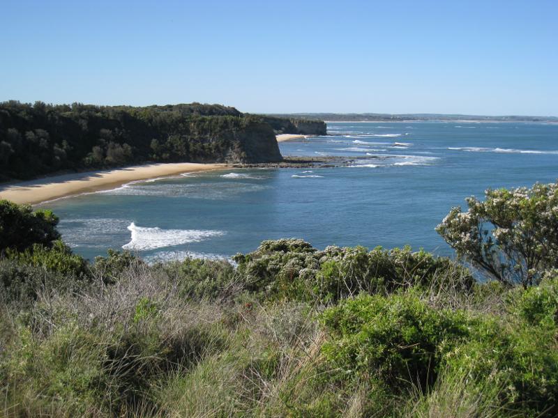
 Bunurong Coastal Drive - Eagles Nest - South-easterly view across Venus Bay
 Bunurong Coastal Drive - Eagles Nest - View north-east along coast from path to lookout
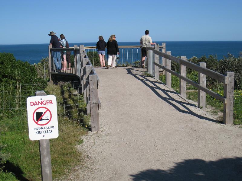 Bunurong Coastal Drive - Eagles Nest - Lookout
 Bunurong Coastal Drive - Eagles Nest - South-easterly view from lookout
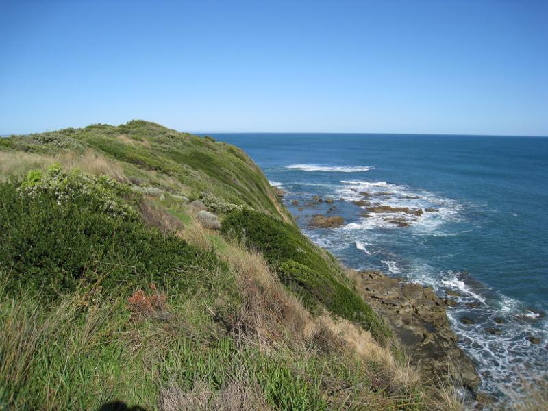
 Bunurong Coastal Drive - Eagles Nest - South-westerly view from lookout
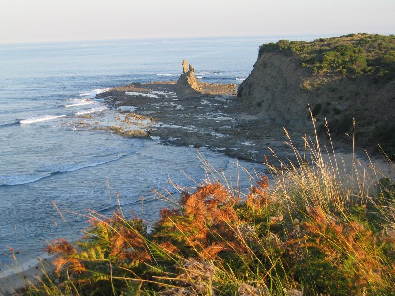
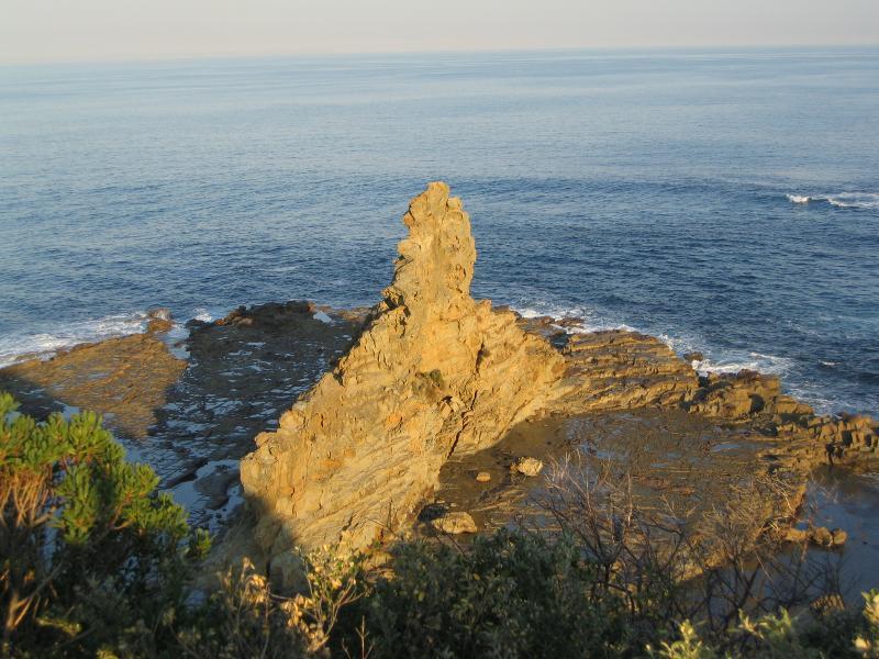 Bunurong Coastal Drive - Eagles Nest - View of Eagles Nest from lookout
 Bunurong Coastal Drive - Shack Bay - View east along coast from car park
 Bunurong Coastal Drive - Shack Bay - View east from top of cliffs towards Eagles Nest
 Bunurong Coastal Drive - Shack Bay - Steps down to beach
 Bunurong Coastal Drive - Shack Bay - View east along coast from steps down to beach
 Bunurong Coastal Drive - Shack Bay - View east along beach
 Bunurong Coastal Drive - Twin Reefs - Lookout over Twin Reefs
 Bunurong Coastal Drive - Twin Reefs - View out to sea from lookout
 Bunurong Coastal Drive - Twin Reefs - View over beach and out to sea from lookout
 Bunurong Coastal Drive - Twin Reefs - View west along coast from lookout