Shops, Commercial Street between Madden Street and Dungey Street - View east along Commercial St towards Madden St and Commercial Hotel
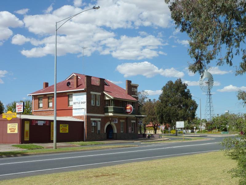
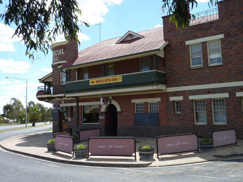
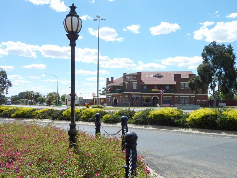
Shops, Commercial Street between Madden Street and Dungey Street - Commercial Hotel, corner Commercial St and Madden St North
Shops, Commercial Street between Madden Street and Dungey Street - View west along Commercial St towards Madden St and Commercial Hotel
Shops, Commercial Street between Madden Street and Dungey Street - Corner of Commercial St and Madden St South
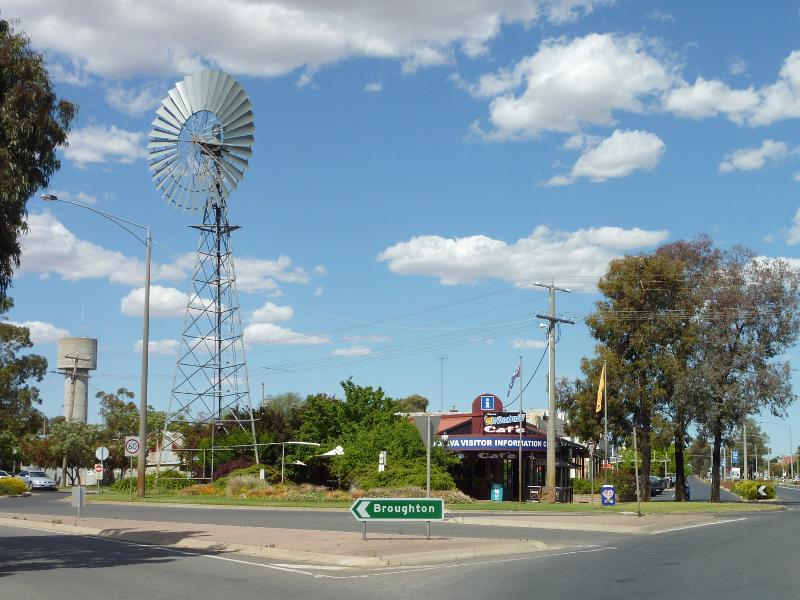
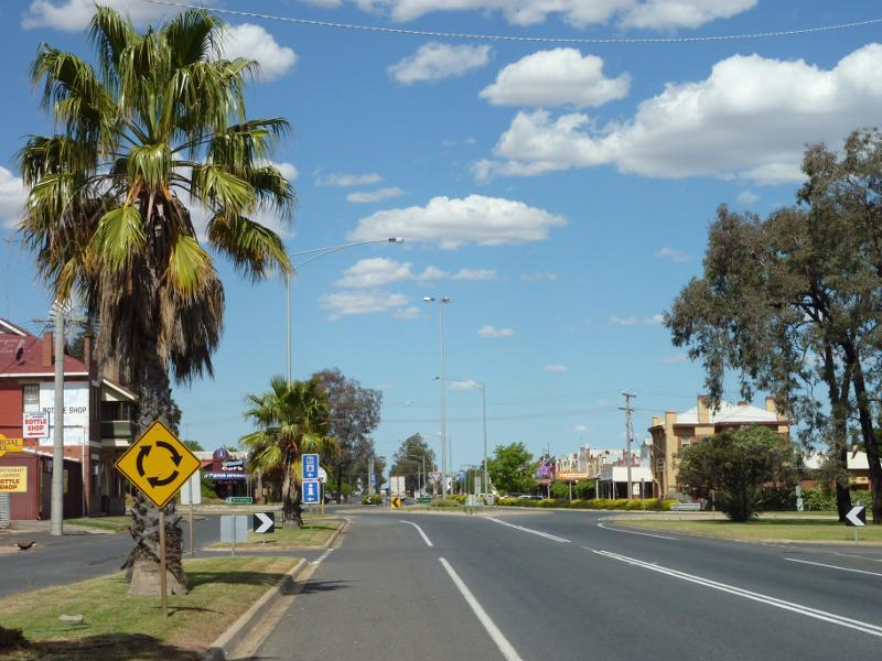
Shops, Commercial Street between Madden Street and Dungey Street - View east along Commercial St at Madden St North towards windmill and visitor information centre
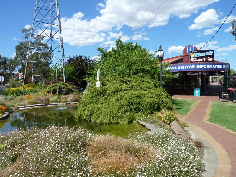
Shops, Commercial Street between Madden Street and Dungey Street - Glenys Garden at visitor information centre, corner Commercial St and Madden St North
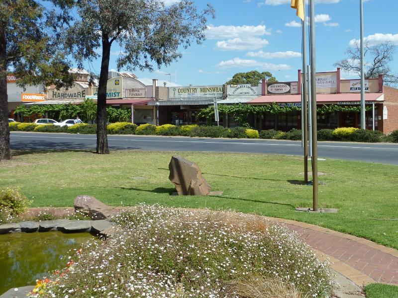
Shops, Commercial Street between Madden Street and Dungey Street - Shops along southern side of Commercial St near Madden St
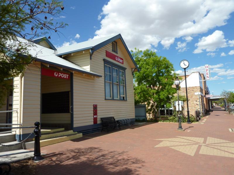
Shops, Commercial Street between Madden Street and Dungey Street - Post office
Shops, Commercial Street between Madden Street and Dungey Street - Shops along northern side of Commercial St
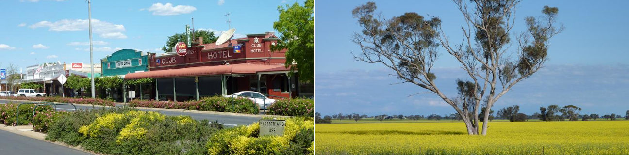
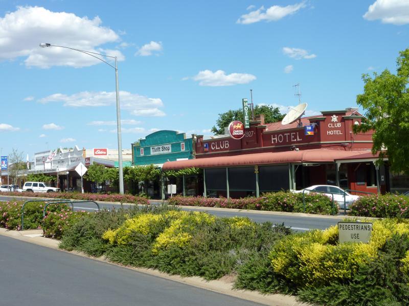
Shops, Commercial Street between Madden Street and Dungey Street - Club Hotel and shops along southern side of Commercial St
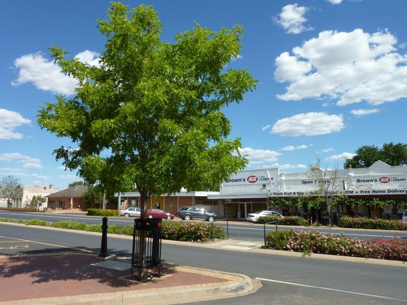
Shops, Commercial Street between Madden Street and Dungey Street - Supermarket along southern side of Commercial St
Shops, Commercial Street between Madden Street and Dungey Street - View east along centre of Commercial St
Shops, Commercial Street between Madden Street and Dungey Street - View east along Commercial St towards Dungey St
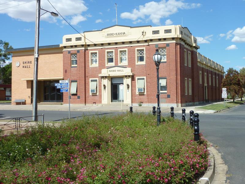
Commercial Street East - Shire Hall, corner Commercial St and Baker St
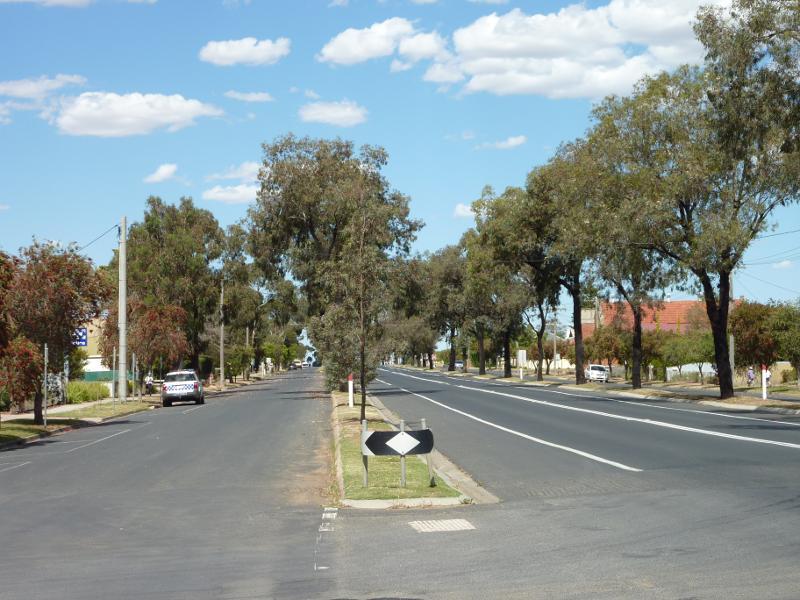
Commercial Street East - View east along Commercial St at Baker St
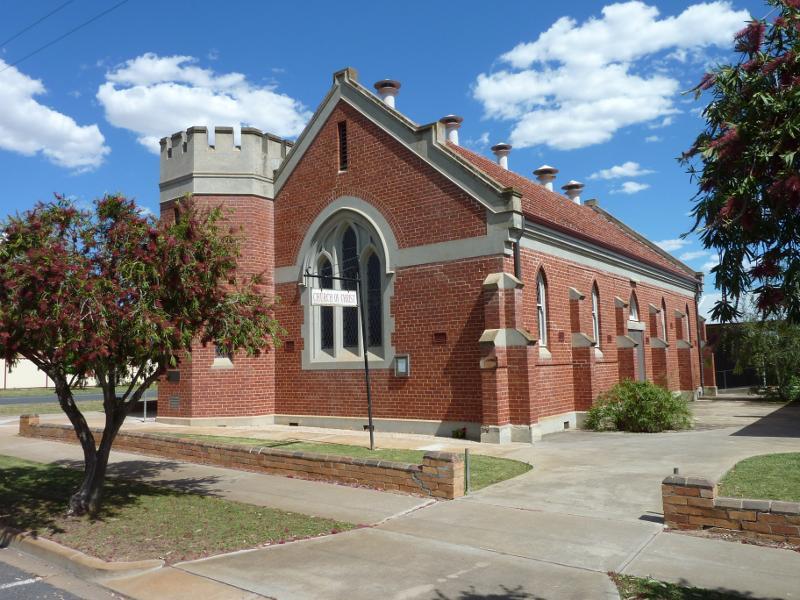
Commercial Street East - Church of Christ, corner Commercial St and Camp St
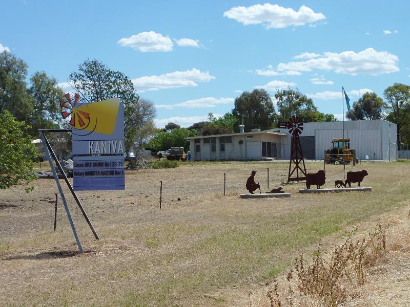
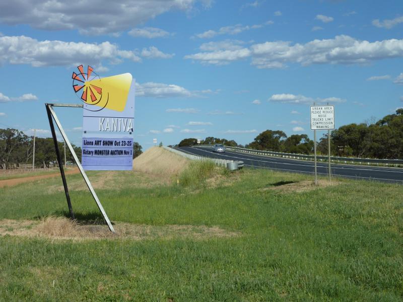
Commercial Street East - Kaniva town sign, view west along Commercial St, east of Webb St
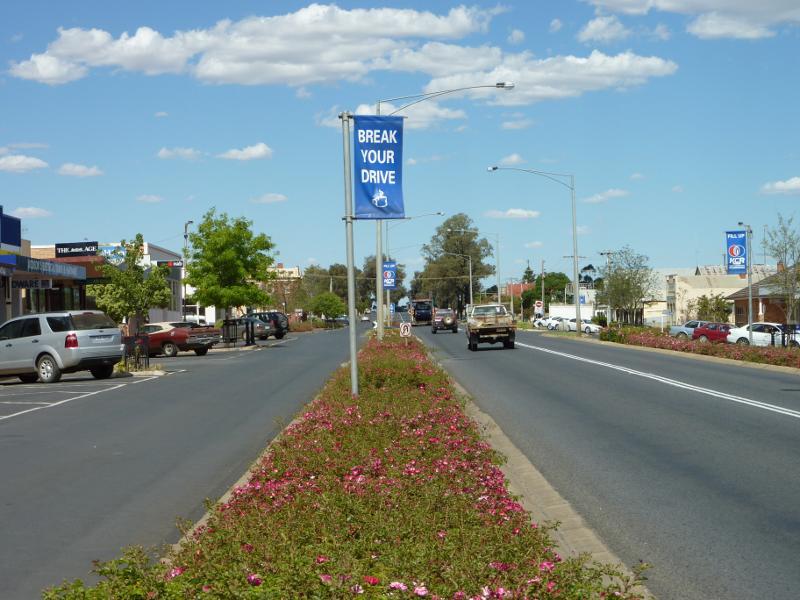
Commercial Street West - View east along Commercial St towards Madden St
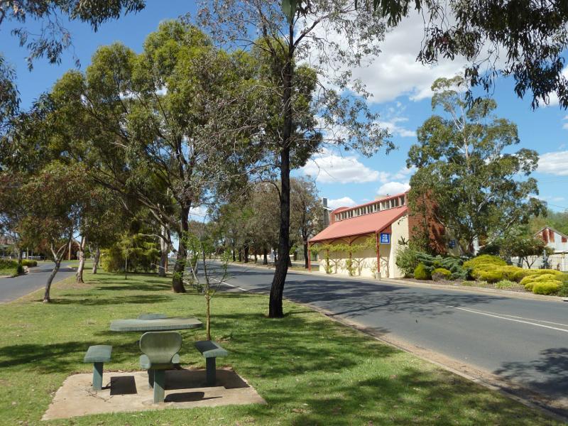
Commercial Street West - Shelter, view east along Commercial St at Eglington St
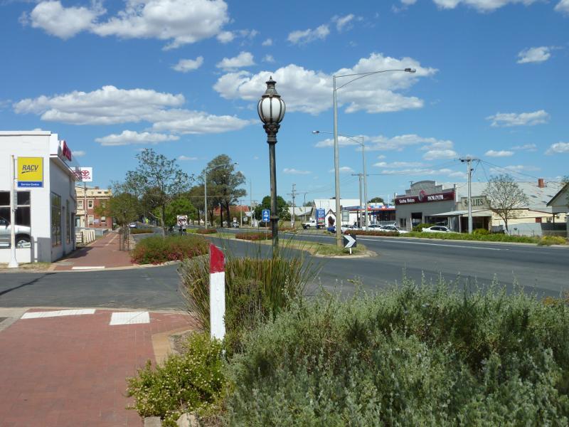
Commercial Street West - View east along Commercial St at Douglas St
Commercial Street West - Kaniva town sign, view east along Commercial St towards railway bridge
Madden Street - View north-east along Madden St North, just north of Commercial St
Madden Street - View south-west along Madden St South, just south of Commercial St
Broughton Road - View north-east along Broughton Rd at Farmers St
Broughton Road - View north-east along Broughton Rd towards Vivians Rd
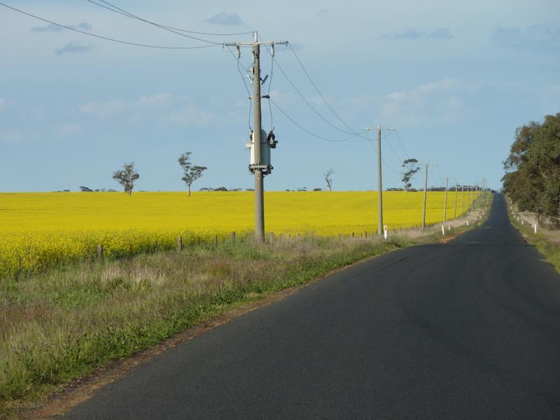
Broughton Road - Northerly view across canola fields, Broughton Rd at Vivians Rd
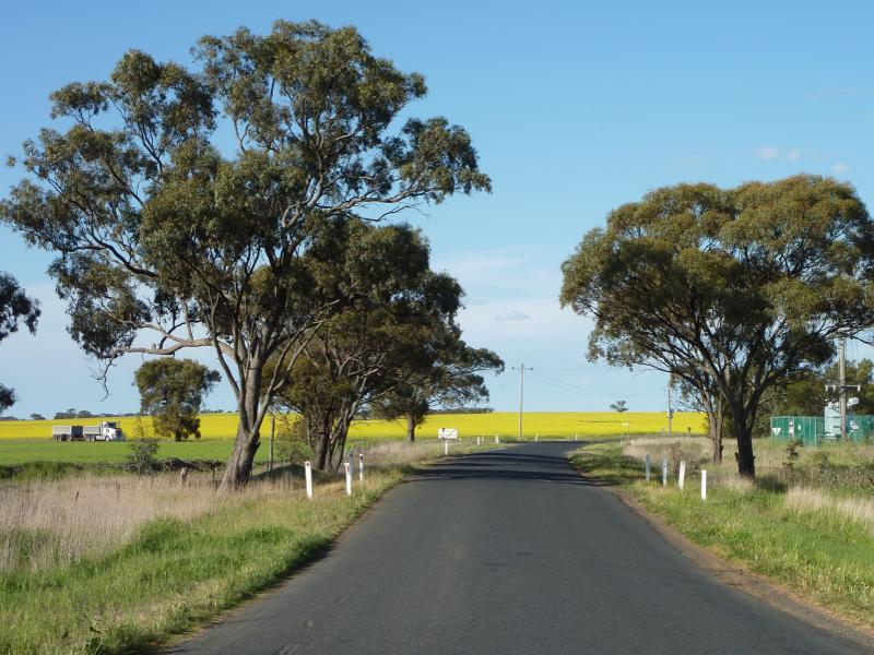
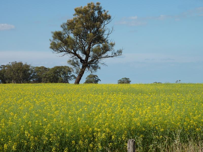
Broughton Road - Canola fields, view north-east along Broughton Rd at Vivians Rd
Broughton Road - South-easterly view, Broughton Rd at Vivians Rd
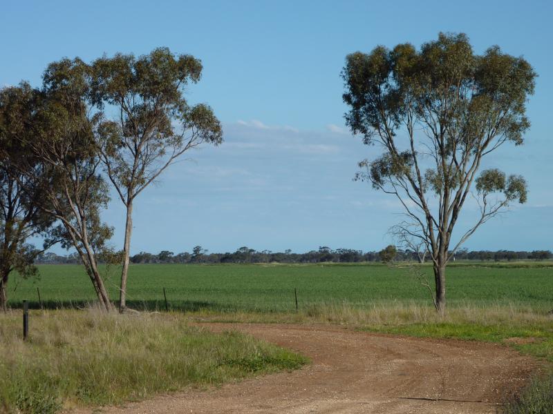
South Lillimur Road - South-easterly view, South Lillimur Rd south of Budjik St
South Lillimur Road - South-easterly view, South Lillimur Rd 1.5 km from Western Hwy
South Lillimur Road - Northerly view, South Lillimur Rd 1.5 km from Western Hwy
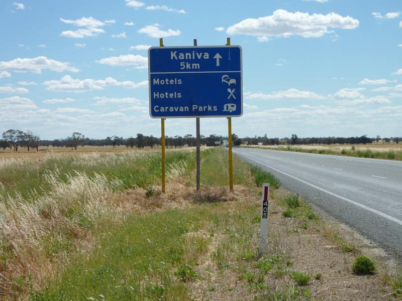
Western Highway, east of Kaniva - View west along Western Hwy, 5 km east of Kaniva
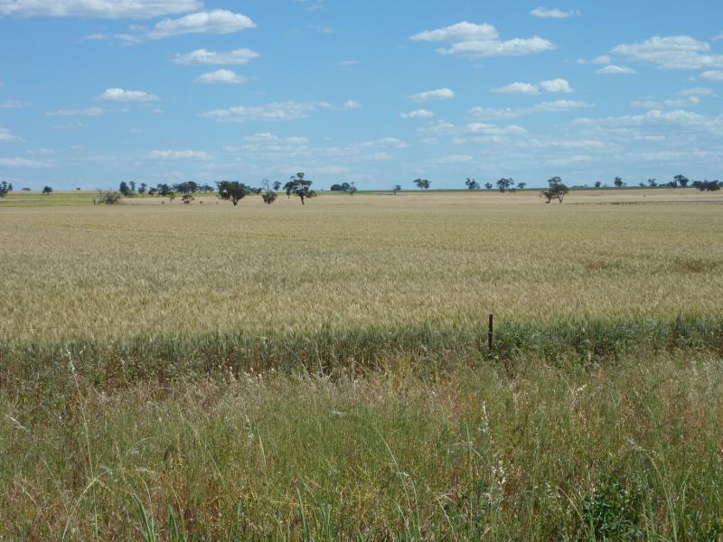
Western Highway, east of Kaniva - Southerly view over fields, Western Hwy, 5 km east of Kaniva
Edenhope Road, east of Kaniva - View south along Edenhope Rd, south of Western Hwy
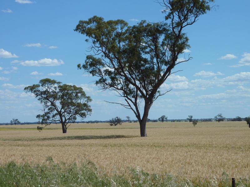
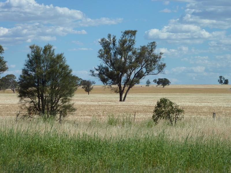
Edenhope Road, east of Kaniva - Westerly view across fields, Edenhope Rd, south of Western Hwy
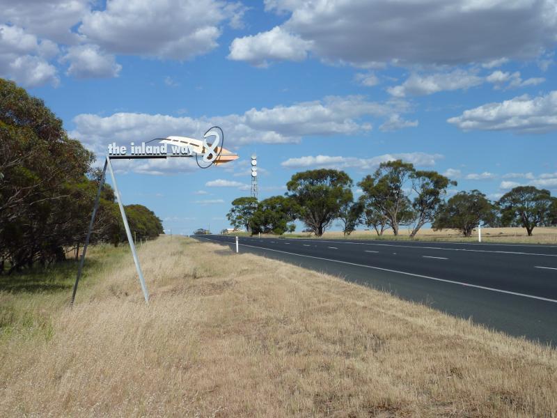
Western Highway, west of Kaniva - 'The Inland Way 8' sign, view east along Western Hwy near Brimble Rd, Lillimur
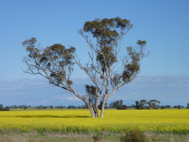
Western Highway, west of Kaniva - Canola fields on north side of Western Hwy, 2 km east of Telopea Downs Rd
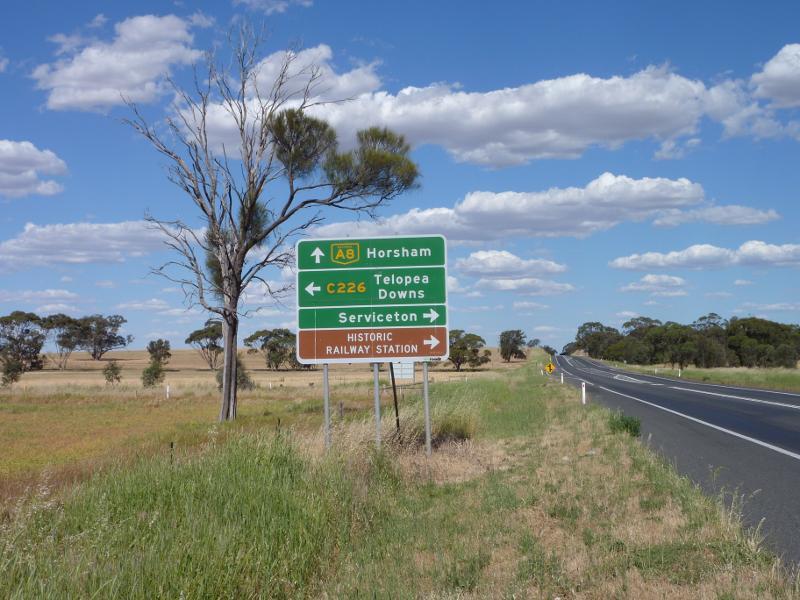
Western Highway, west of Kaniva - View east along Western Hwy towards Telopea Downs Rd
Western Highway, west of Kaniva - Southerly view, Western Hwy near Telopea Downs Rd
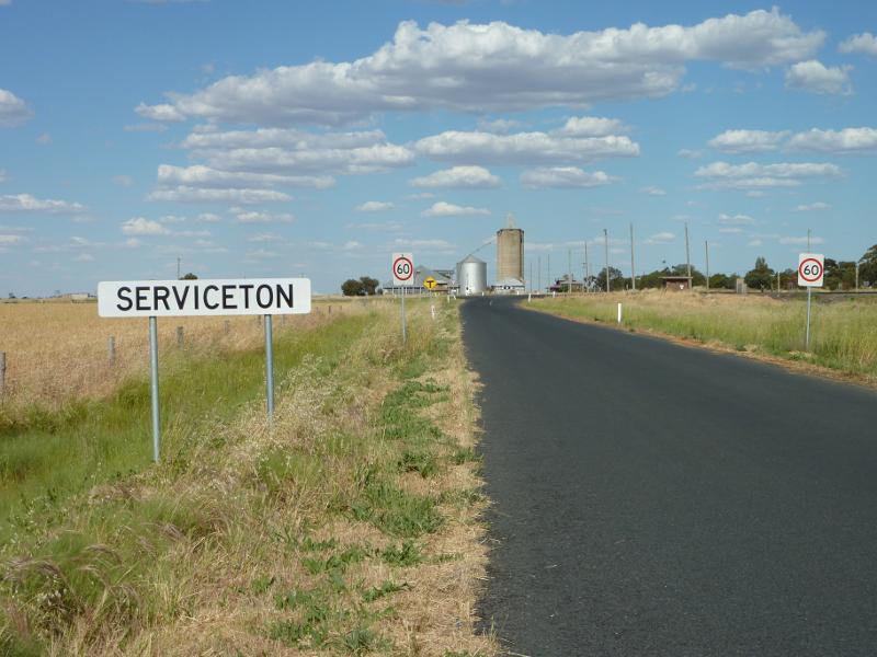
Town of Serviceton - Serviceton sign, view east along Wolseley Rd towards Elizabeth St
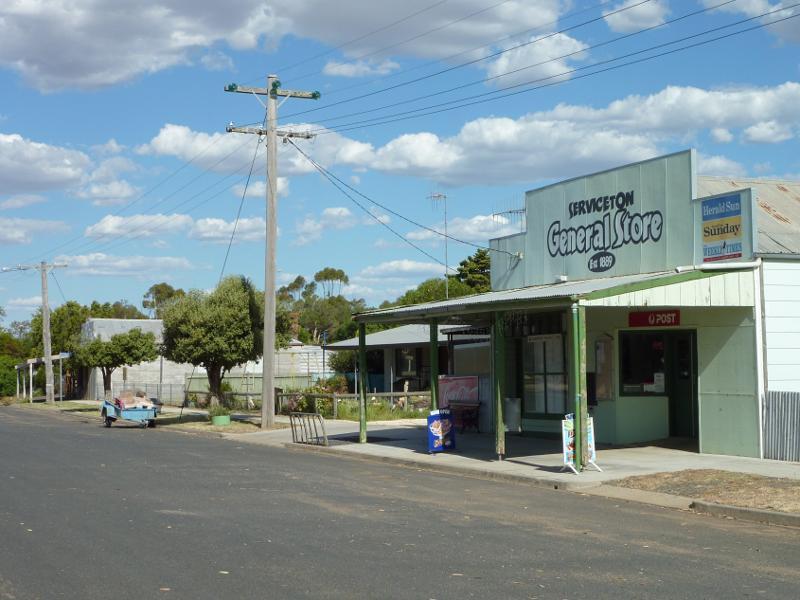
Town of Serviceton - Serviceton General Store, Elizabeth St east of Serviceton South Rd
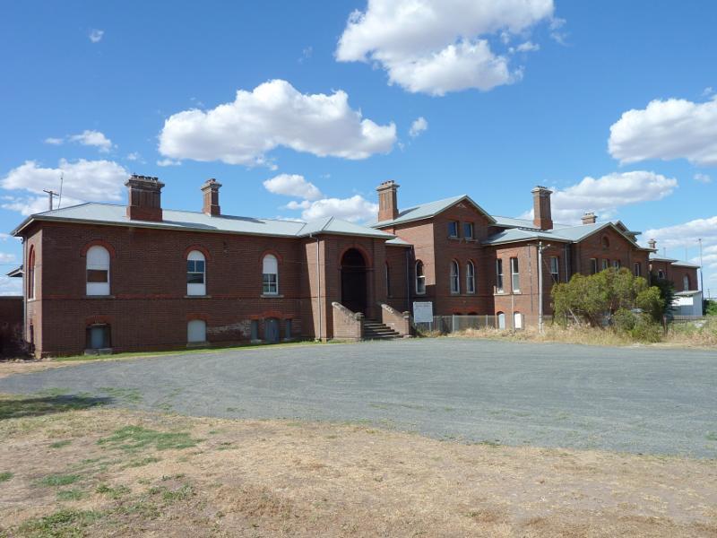
Serviceton railway station, Elizabeth Street - View of station from car park off Elizabeth St
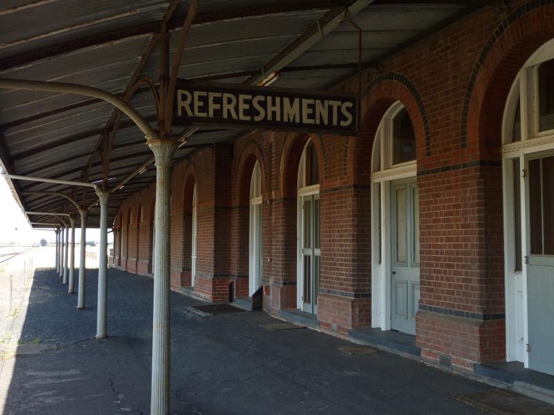
Serviceton railway station, Elizabeth Street - View east along station platform
Serviceton railway station, Elizabeth Street - View east along railway line at station
Serviceton railway station, Elizabeth Street - Northerly view from station platform
Serviceton railway station, Elizabeth Street - Grain silos near station
Area around State border between Victoria and South Australia, Western Highway - Tourism sign, view east along Western Hwy, east of border
Area around State border between Victoria and South Australia, Western Highway - North-easterly view, Western Hwy, east of border
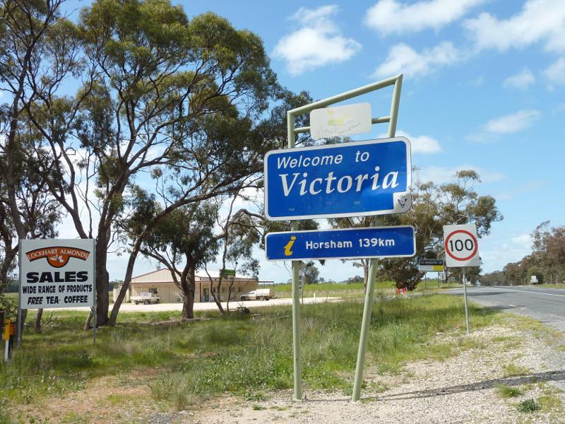
Area around State border between Victoria and South Australia, Western Highway - Welcome to Victoria sign, view east along Western Hwy at border
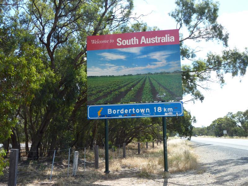
Area around State border between Victoria and South Australia, Western Highway - Welcome to south Australia sign, view west along Western Hwy at border
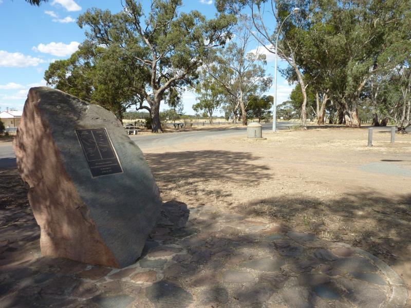
Area around State border between Victoria and South Australia, Western Highway - Plaque, rest area at border
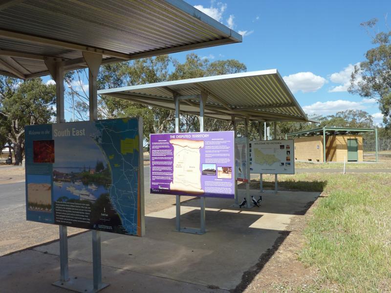
Area around State border between Victoria and South Australia, Western Highway - Information shelters, rest area at border