Kyneton - photos
Kyneton
Stay
See and do
Food and drink
Shopping
Getting around
Visitor information
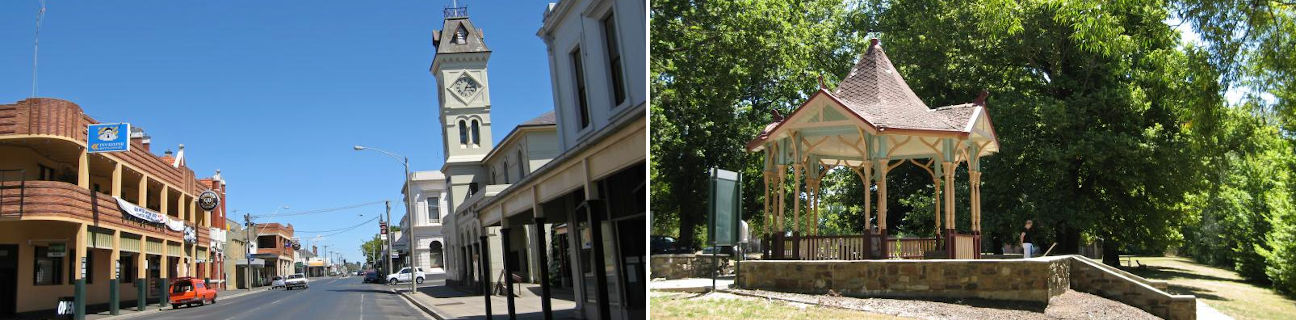
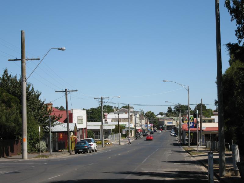
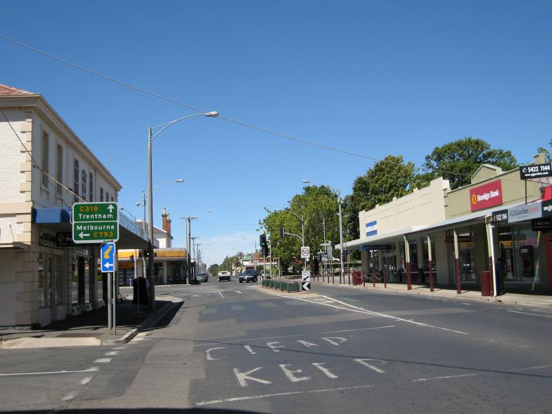
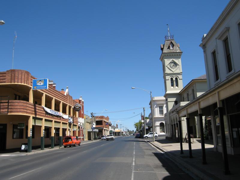
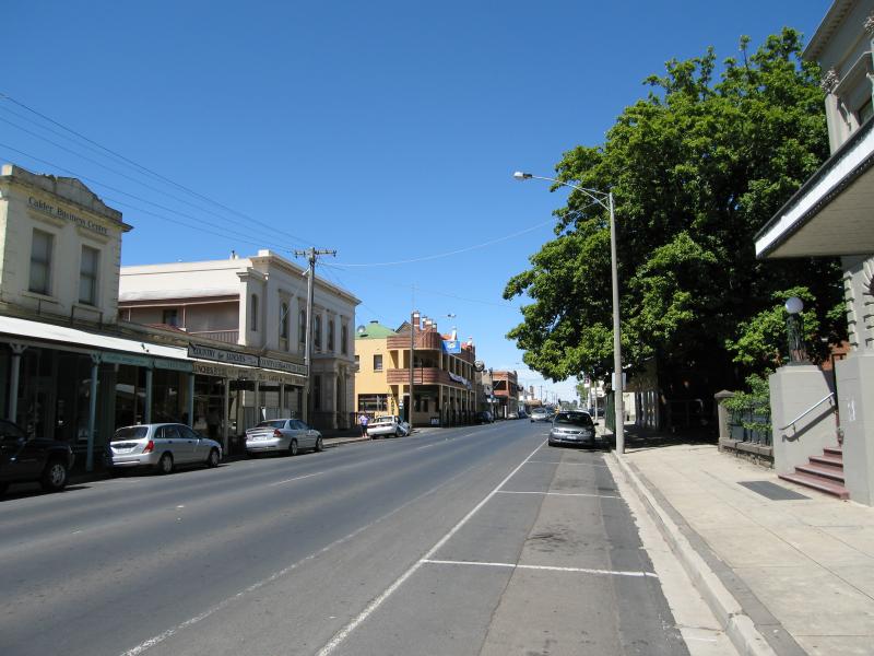
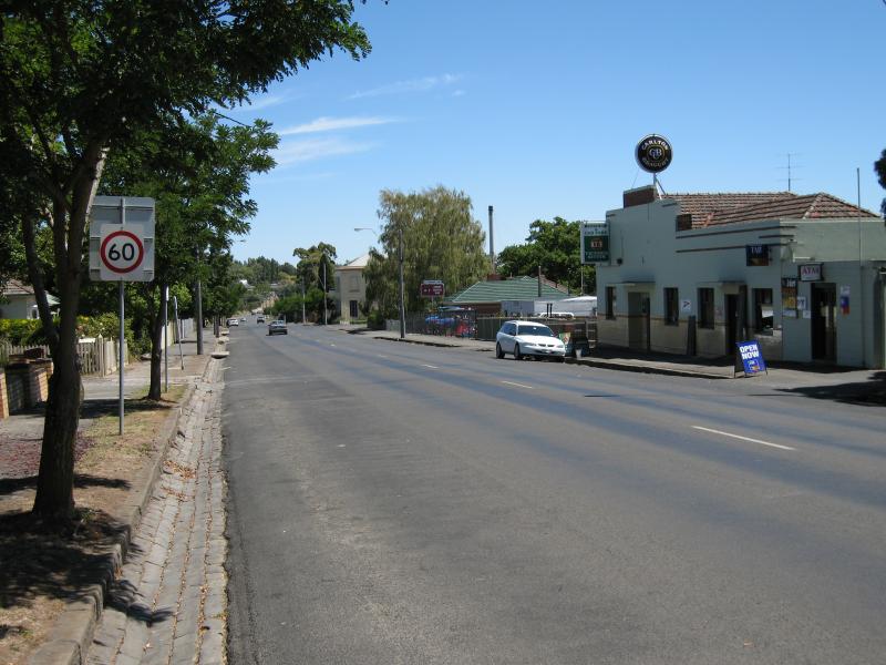
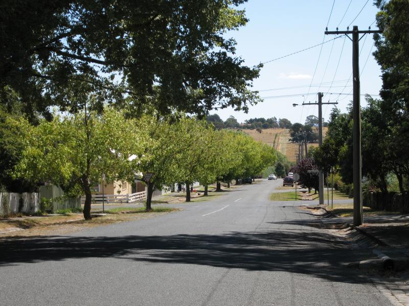
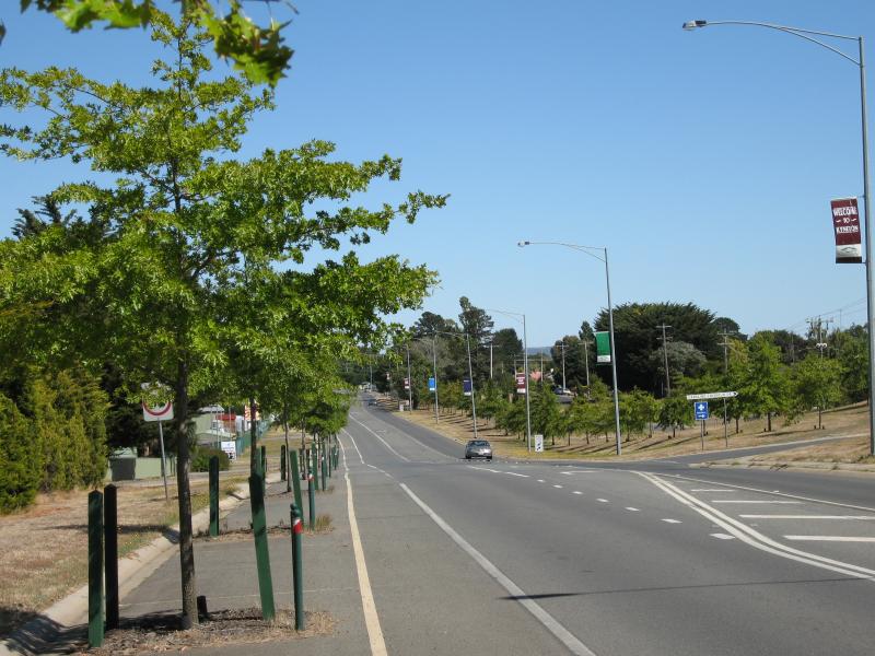 Bourke Street - View west along Bourke St towards Caroline Chisholm Dr
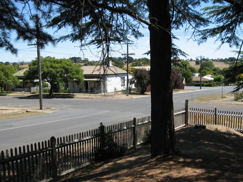
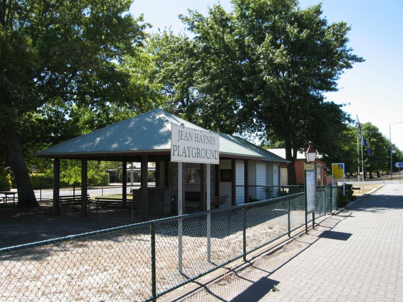 Bourke Street - Jean Haynes Playground and Kyneton Visitor Information Centre, view east along Bourke St towards Wheatley St
 Shops along High Street - Sacred Heart College, High St between Epping St and New St
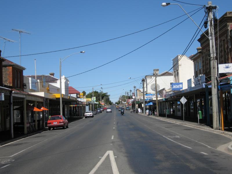
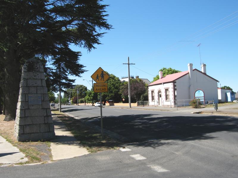 Shops along High Street - View east along High St at Epping St and Major Mitchell monument
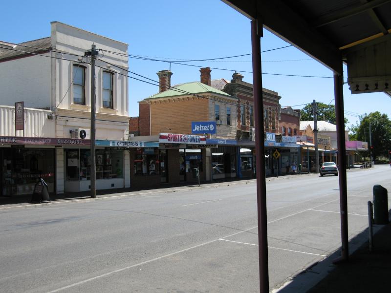
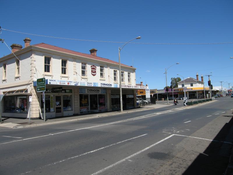
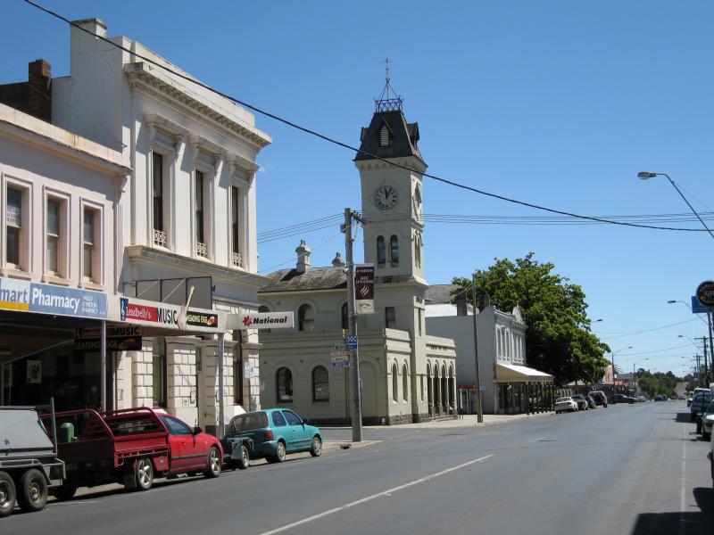
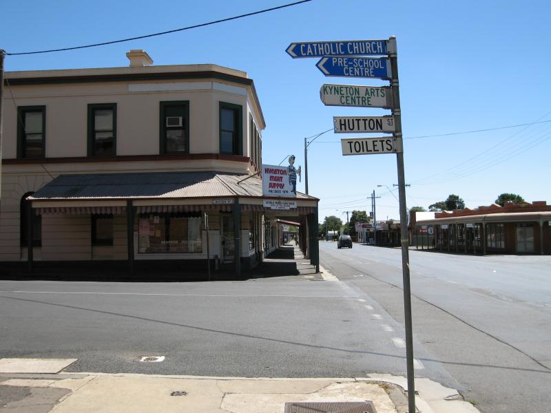
 Shops along High Street - View west along High St at Epping St
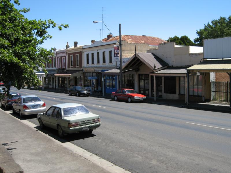
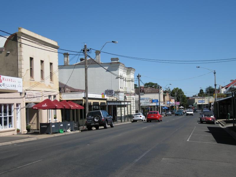 Shops along High Street - View west along High St between Welsh St and Mollison St
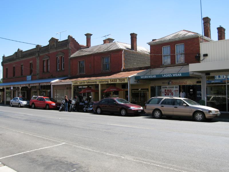
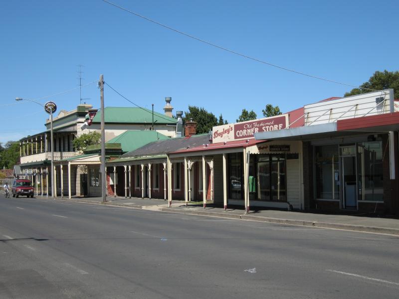
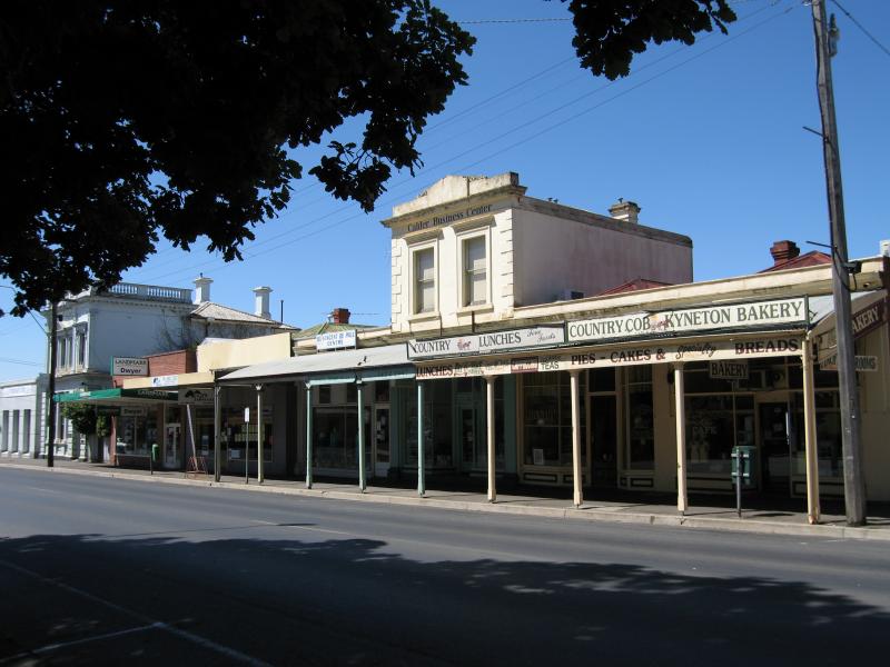
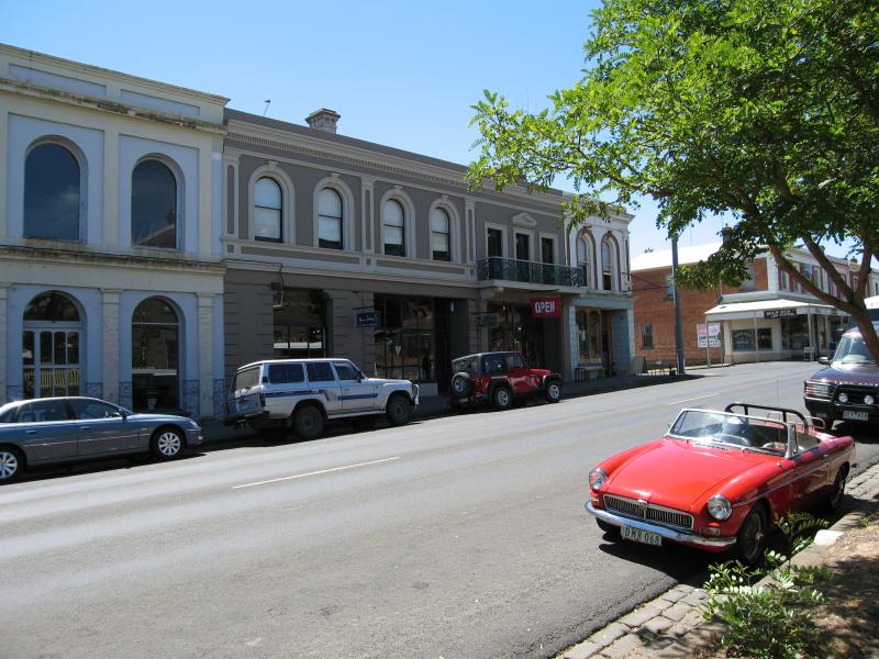
 Shops along High Street - Shops, High St between Welsh St and Mollison St
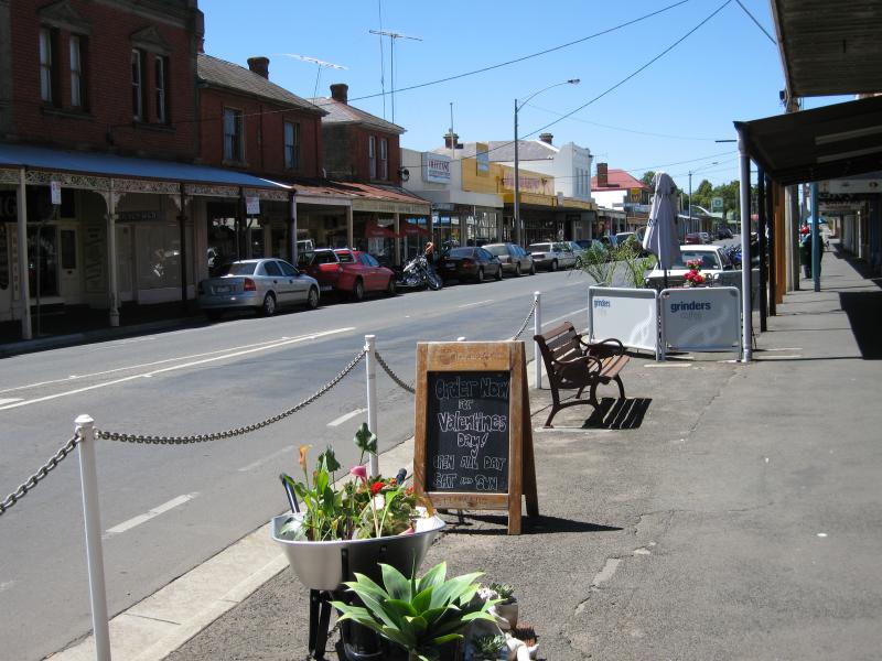
 Shops along High Street - View west along High St between Welsh St and Mollison St
 Shops along High Street - View west along High St between Welsh St and Mollison St
 Shops along High Street - View west along High St towards Mollison St
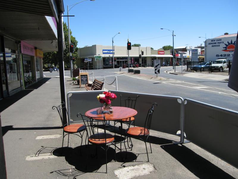
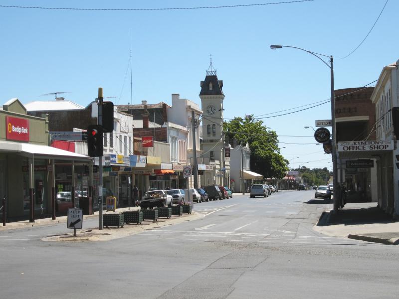
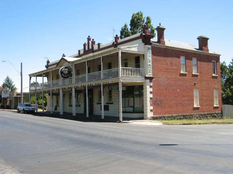
 Shops along High Street - View east along High St at Mollison St
 Shops along High Street - View east along High St at Mollison St
 Shops along High Street - View west along High St towards Mollison St
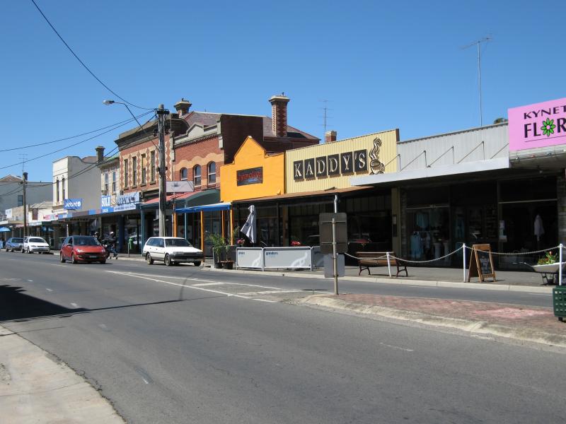
 Shops along High Street - View east along High St at Mollison St
 Shops along High Street - View west along High St towards Mollison St
 Shops along High Street - View east along High St at Mollison St
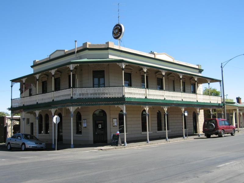 Shops along Mollison Street - Albion Hotel, corner of Mollison St and Donnithorne St
 Shops along Mollison Street - View south along Mollison St towards Donnithorne St
 Shops along Mollison Street - View south along Mollison St at Simpson St
 Shops along Mollison Street - View south along Mollison St in front of bowling club towards Simpson St
 Shops along Mollison Street - View north along Mollison St towards High St
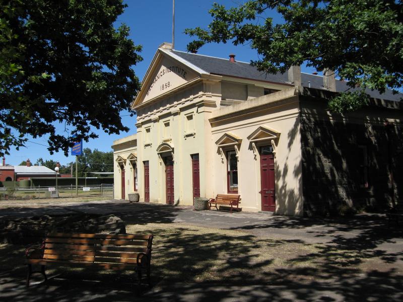 Shops along Mollison Street - Old Mechanics Institute Hall (now library), Mollison St opposite High St
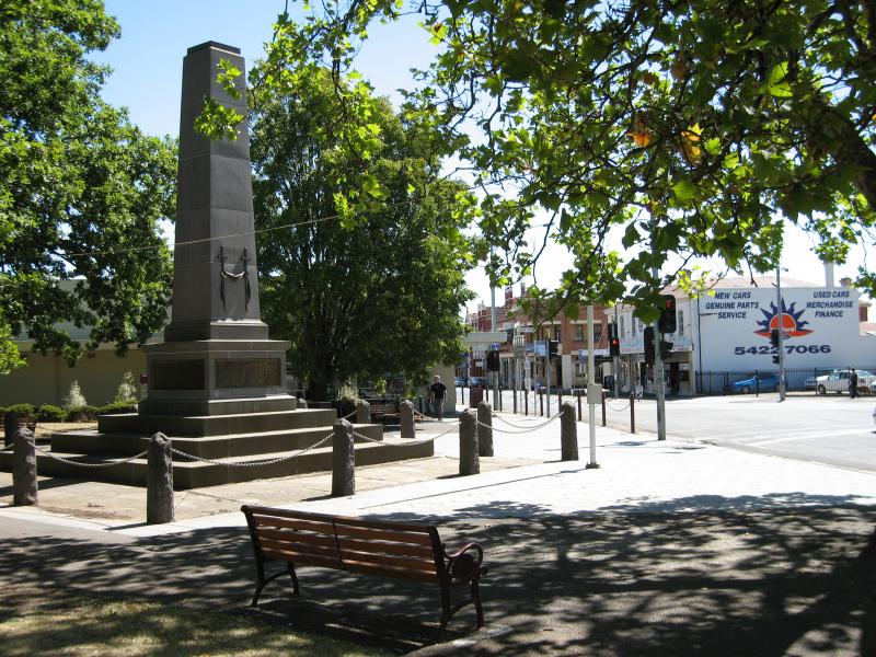
 Shops along Mollison Street - War memorial, view south along Mollison St at High St
 Shops along Mollison Street - War memorial, view north along Mollison St towards High St
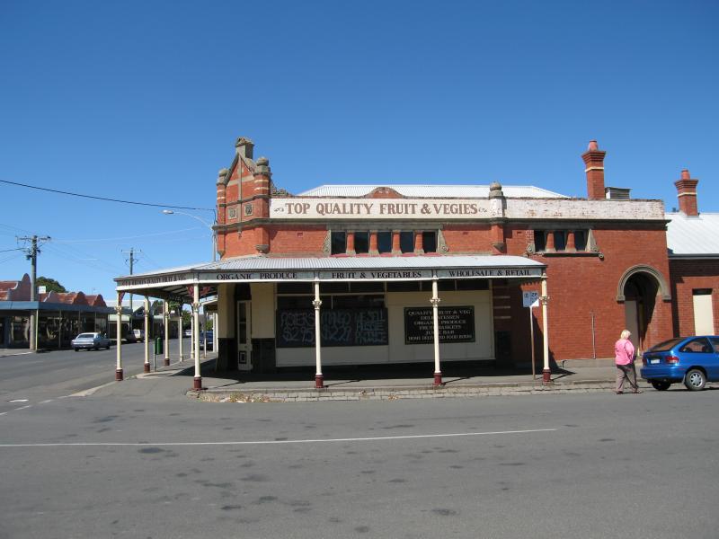
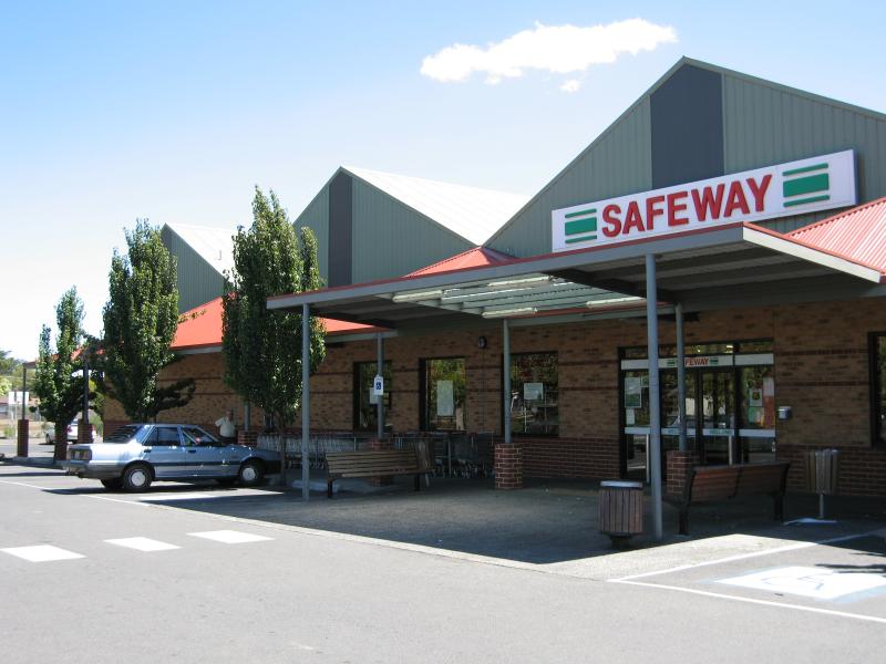 Shops along Mollison Street - Safeway supermarket, Baynton St behind Mollison St
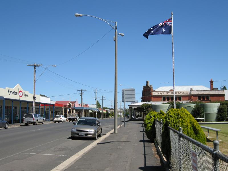
 Shops along Mollison Street - View north along Mollison St at High St
 Shops along Mollison Street - View south along Mollison St at Market St
 Shops along Mollison Street - View south along Mollison St at Market St
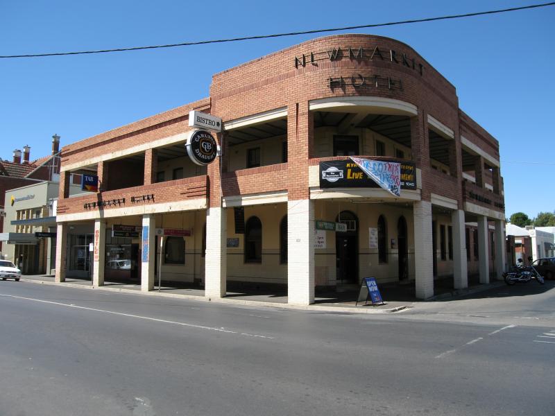 Shops along Mollison Street - Newmarket Hotel, corner Mollison St and Market St
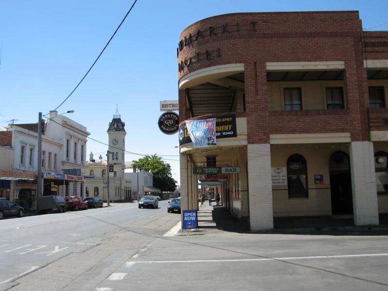 Shops along Mollison Street - View north along Mollison St at Market St
 Shops along Mollison Street - View north along Mollison St towards Jennings St
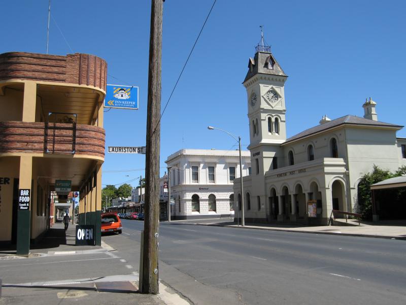
 Shops along Mollison Street - View north along Mollison St towards Lauriston St
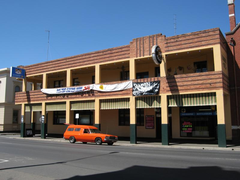 Shops along Mollison Street - Shamrock Hotel, Mollison St
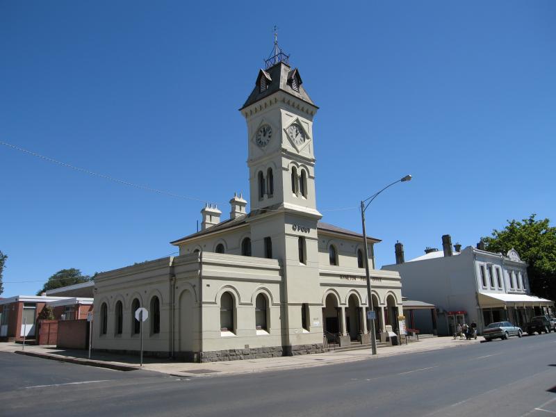 Shops along Mollison Street - Kyneton Post Office, corner Mollison St and Jennings St
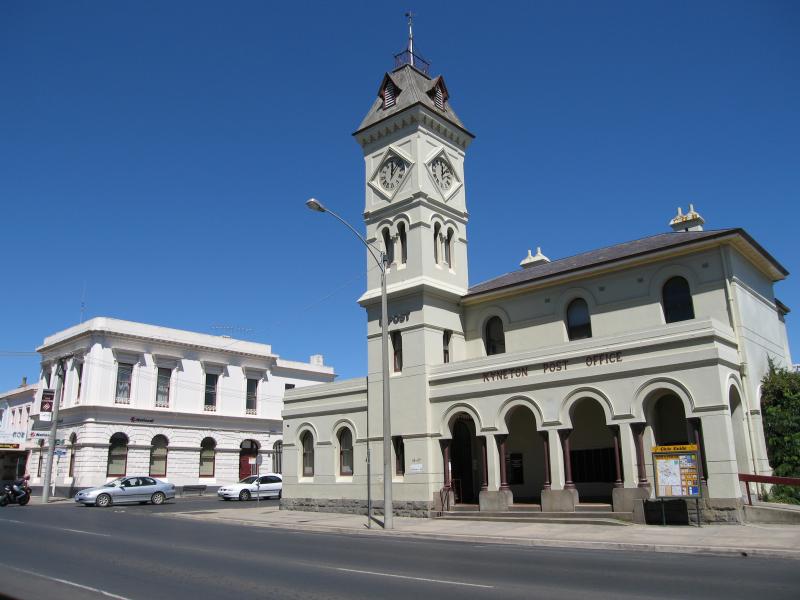 Shops along Mollison Street - Kyneton Post Office, view south along Mollison St towards Jennings St
 Shops along Mollison Street - View south along Mollison St at Lauriston St
 Shops along Mollison Street - View south along Mollison St at Lauriston St towards Shamrock Hotel and Kyneton Post Office
 Shops along Mollison Street - View north along Mollison St towards Hutton St
 Shops along Mollison Street - View north along Mollison St towards Bowen St
 Shops along Mollison Street - View south along Mollison St towards Lauriston St
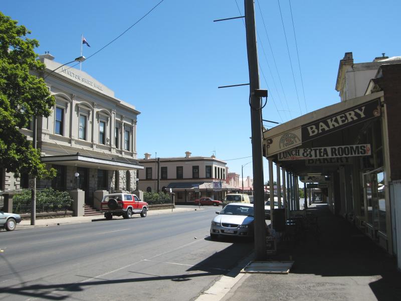
 Shops along Mollison Street - Council offices at the Kyneton Shire Hall, view south along Mollison St at Hutton St
 Shops along Mollison Street - View north along Mollison St at Hutton St
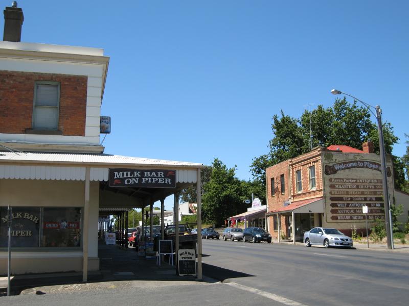
 The historic Piper Street - View west along Piper St at Mollison St
 The historic Piper Street - View west along Piper St at Mollison St
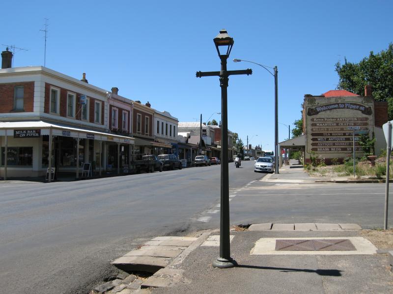
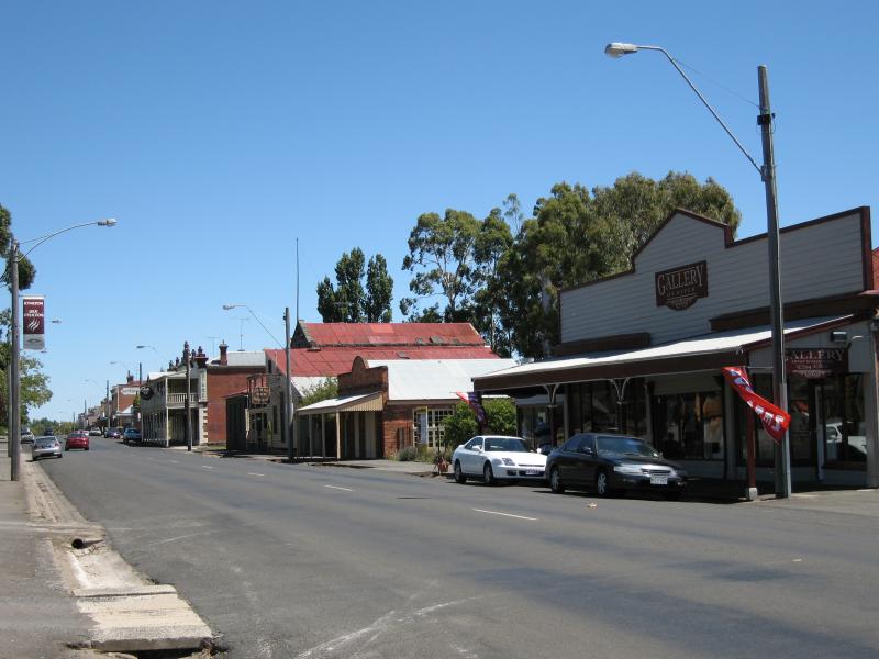 The historic Piper Street - Gallery On Piper, view west along Piper St towards Ebden St
 The historic Piper Street - Steam Mill Bakery, view south across Piper St
 The historic Piper Street - Royal George Hotel, view west along Piper St at Ebden St
 The historic Piper Street - View east along Piper St towards Ebden St
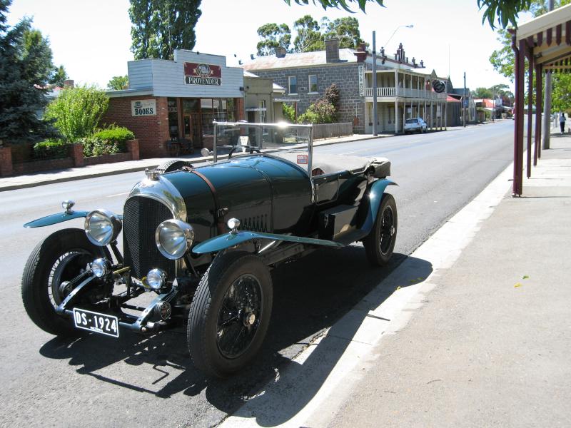 The historic Piper Street - Vintage car parked on Piper St, view east towards Ebden St
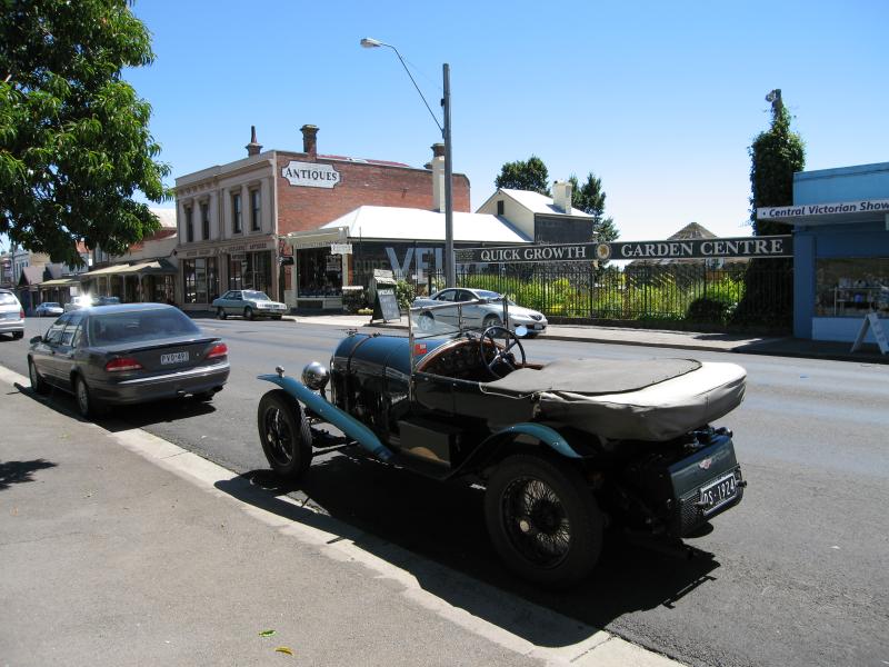 The historic Piper Street - Vintage car parked on Piper St, view west towards Powlett St
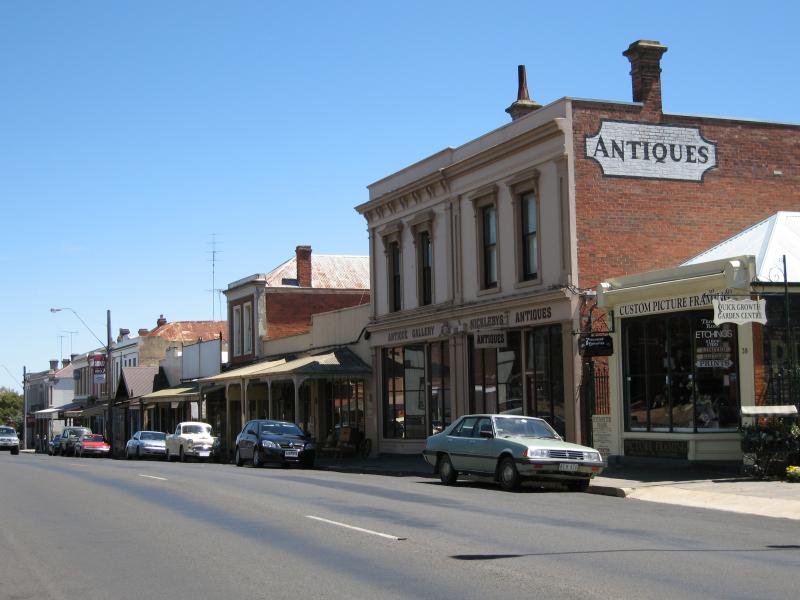 The historic Piper Street - Antique Gallery, view west along Piper St towards Powlett St
 The historic Piper Street - View west along Piper St towards Powlett St
 The historic Piper Street - View east along Piper St at Powlett St
 The historic Piper Street - View east along Piper St at Powlett St
 The historic Piper Street - Kyneton Museum, view west along Piper St at Powlett St
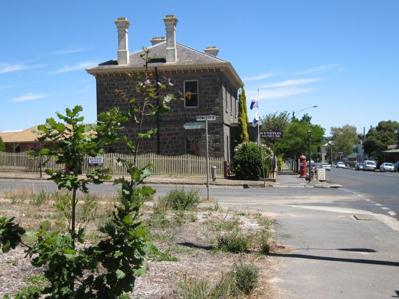
 The historic Piper Street - Kyneton Museum, corner Piper St and Powlett St
 The historic Piper Street - View east along Piper St towards Powlett St
 The historic Piper Street - View west along Piper St between Powlett St and Wedge St
 Churches of Kyneton - Baptist Church, Ebden St
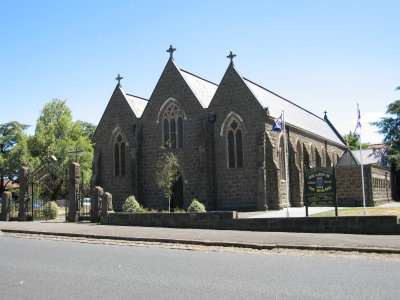 Churches of Kyneton - Our Lady Of The Rosary Catholic Church, Ebden St
 Churches of Kyneton - St Andrews Uniting Church, corner Ebden St and Yaldwyn St
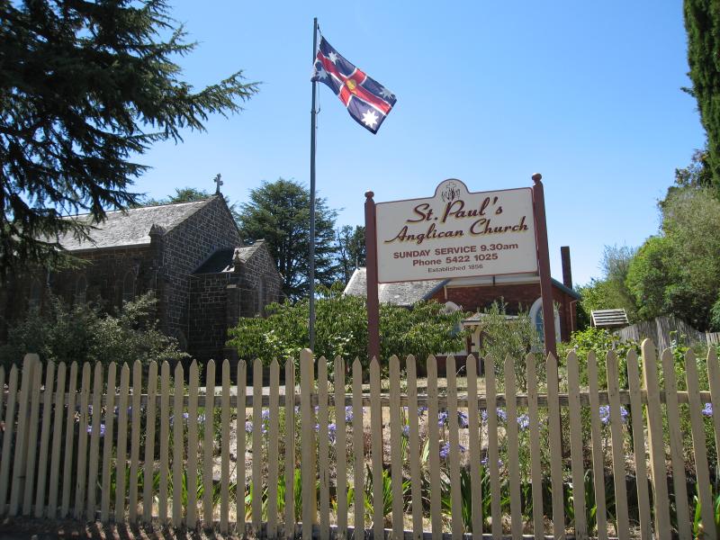 Churches of Kyneton - St Pauls Anglican Church, corner Yaldwyn St and Powlett St
 Churches of Kyneton - St Pauls Anglican Church, corner Yaldwyn St and Powlett St
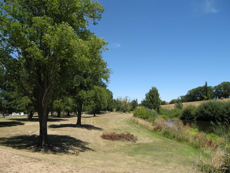
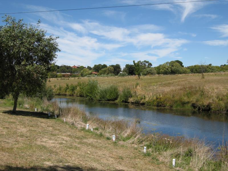
 Campaspe River - Campaspe Flat, park on east bank of Campaspe River, Campaspe Pl
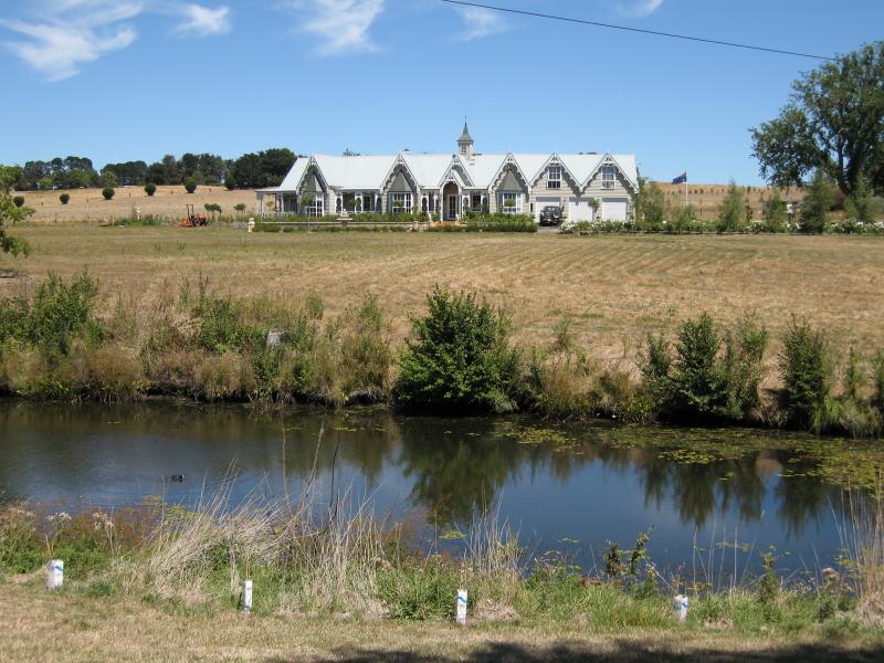
 Campaspe River - View south along Campaspe River at Campaspe Pl
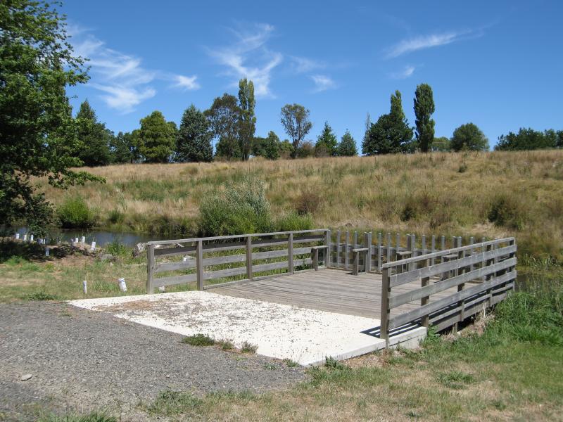 Campaspe River - Fishing platform on Campaspe River, Campaspe Pl near Mitchell St
 Campaspe River - View west along Burton Av over Campaspe River
 Campaspe River - View west across Campaspe River, just south of Piper St
 Campaspe River - View south along Campaspe River, just south of Piper St
 Campaspe River - View west along Mill St at Campaspe River
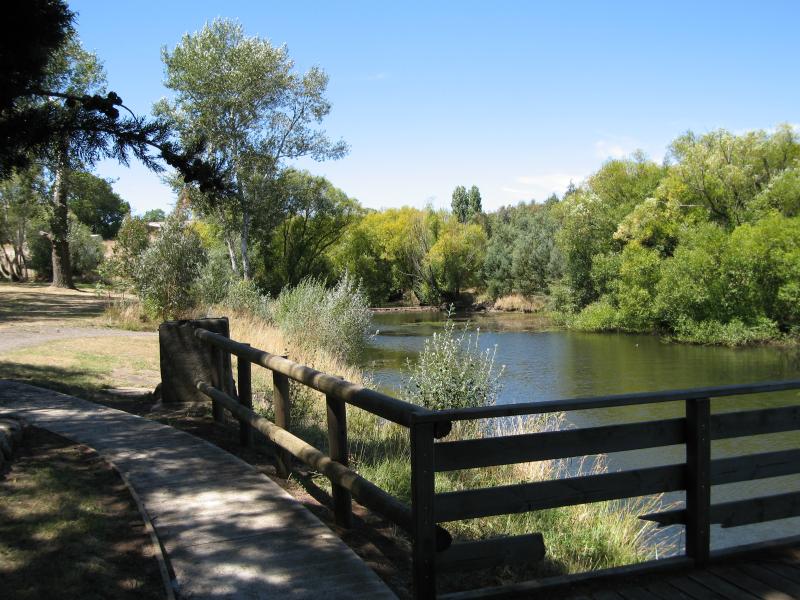
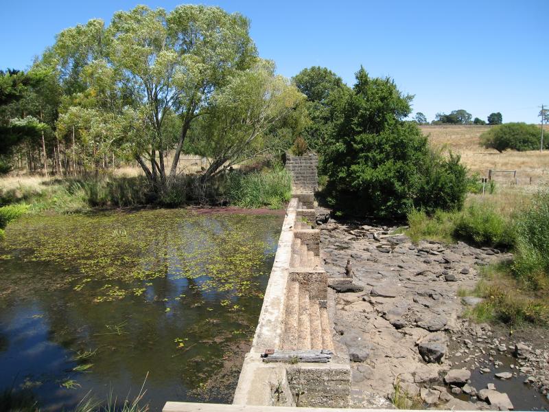
 Campaspe River - View east along Campaspe River towards weir at south end of Mill St
 Campaspe River - View east along Campaspe River between two weirs at southern end of Mill St
 Campaspe River - View west along Campaspe River towards weir at St Agnes Pl
 Campaspe River - View south across weir on Campaspe River at St Agnes Pl
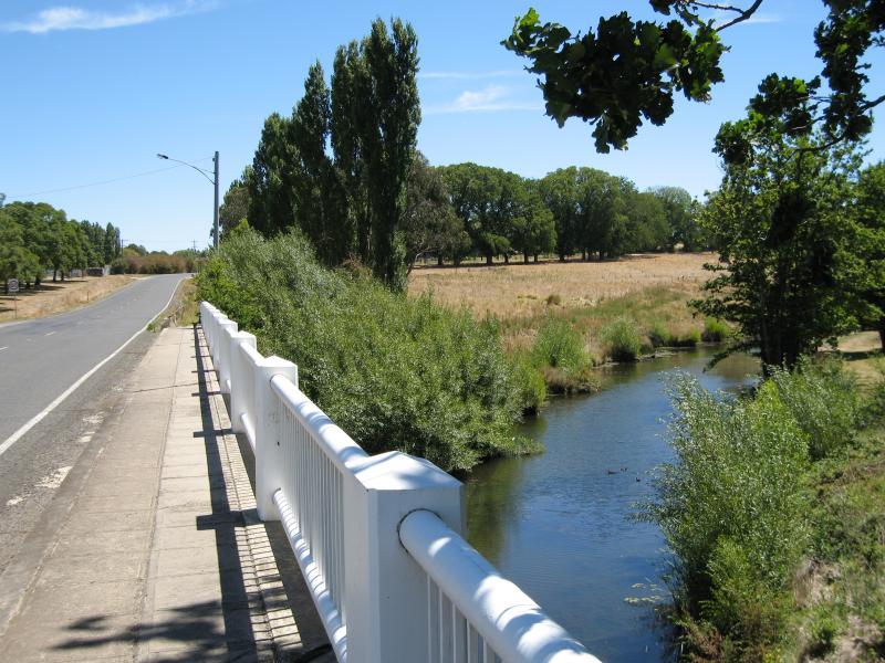
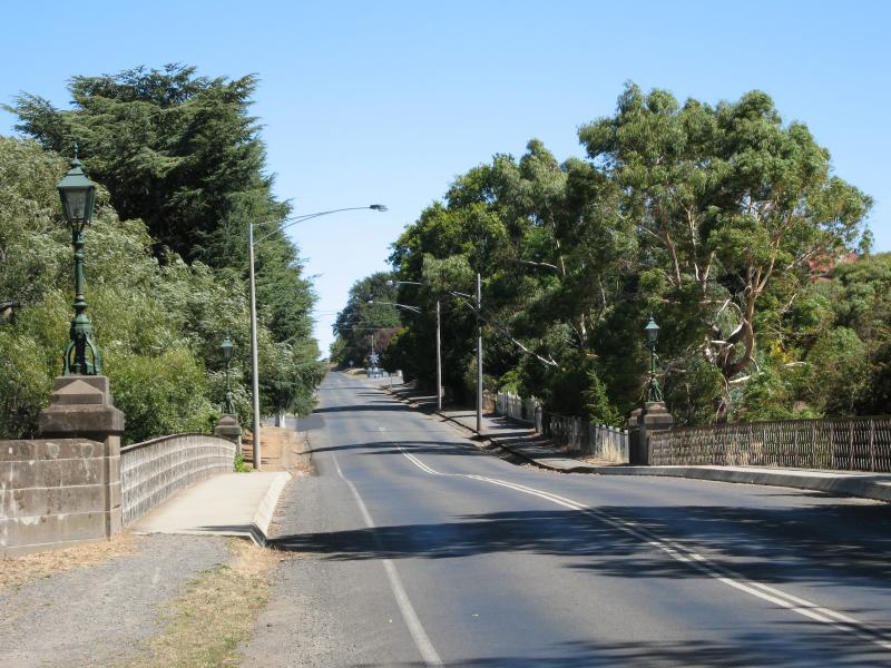 Campaspe River - View south along Mollison St at bluestone bridge over Campaspe River
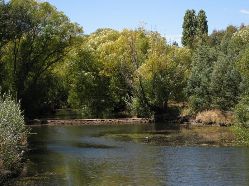
 Campaspe River - View east along Campaspe River gorge from bridge at Mollison St
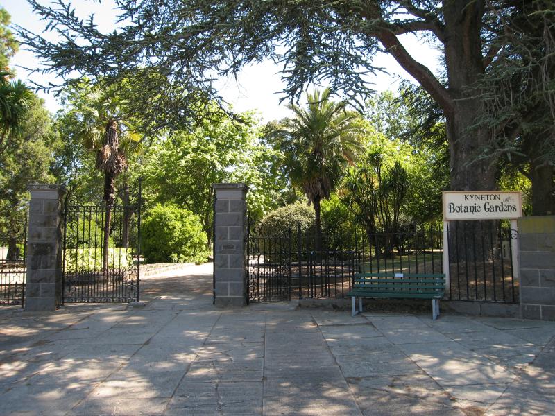 Kyneton Botanic Gardens, corner Mollison Street and Clowes Street - Entrance to botanic gardens, Mollison St at Clowes St
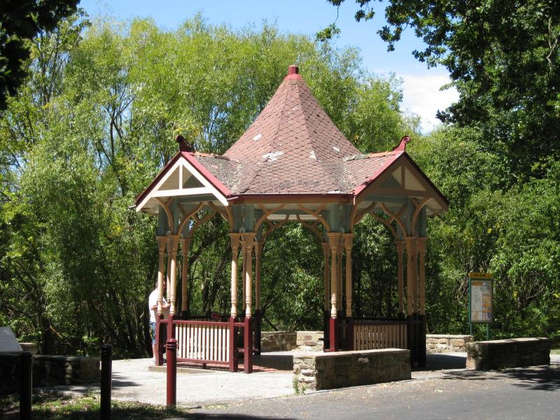
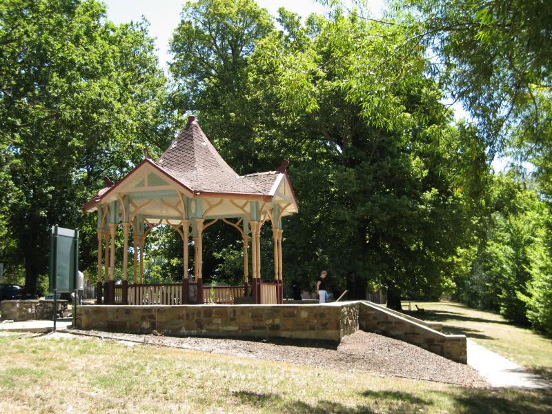
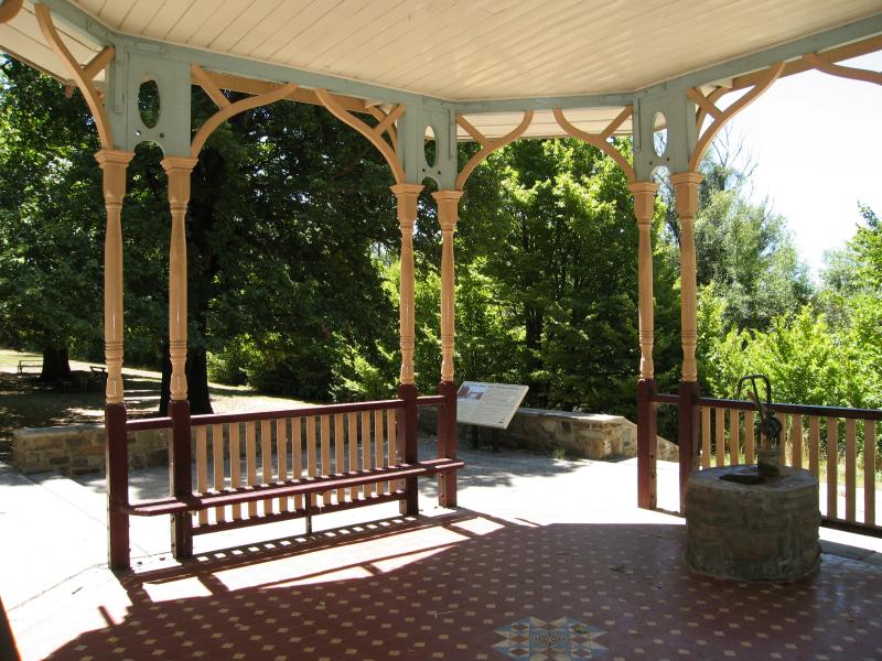
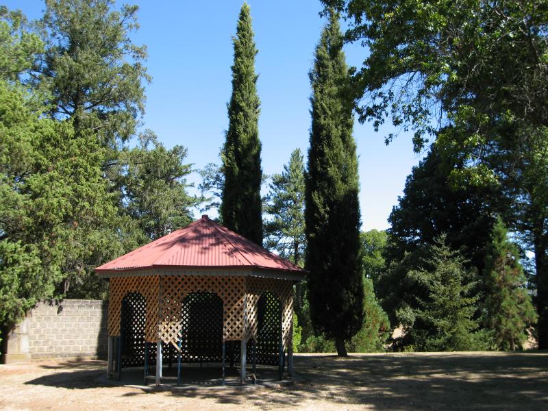 Kyneton Botanic Gardens, corner Mollison Street and Clowes Street - Rotunda
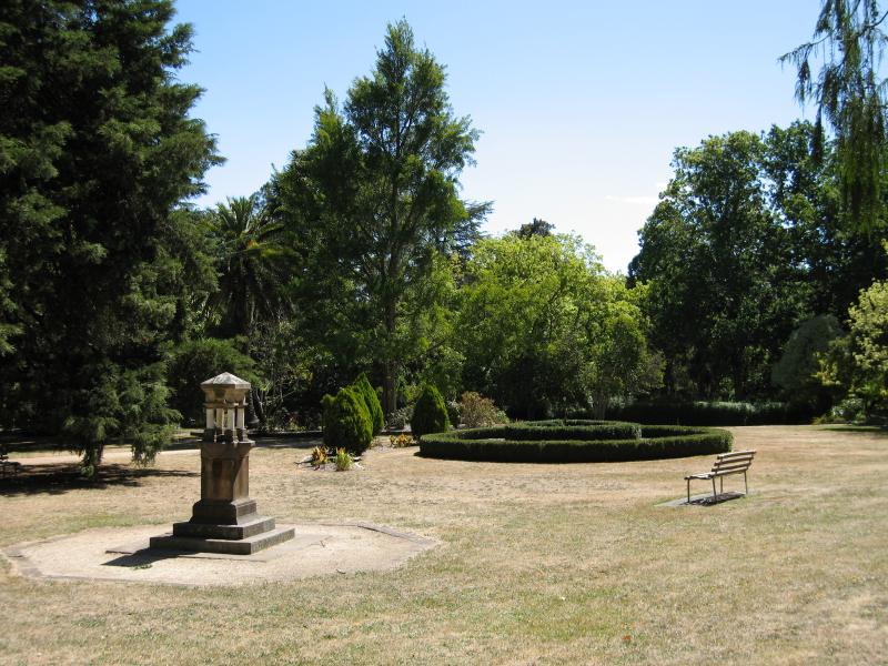 Kyneton Botanic Gardens, corner Mollison Street and Clowes Street - Gardens
 Kyneton Botanic Gardens, corner Mollison Street and Clowes Street - View east along Clowes St at Botanic Gardens
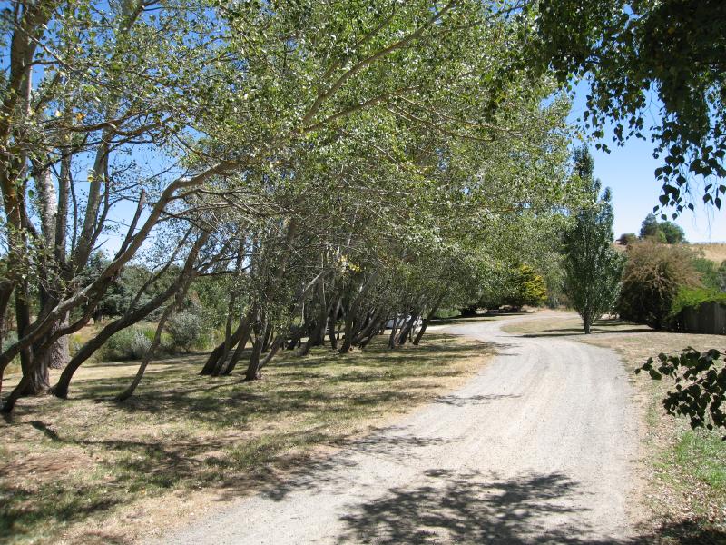
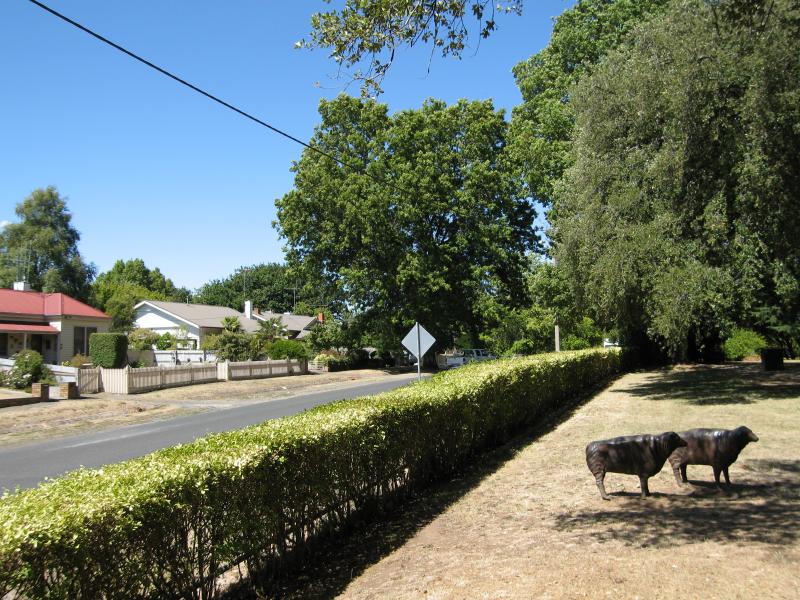
 Around Kyneton - View east along Burton Av towards Campaspe River
 Around Kyneton - View east along Burton Av towards Campaspe River
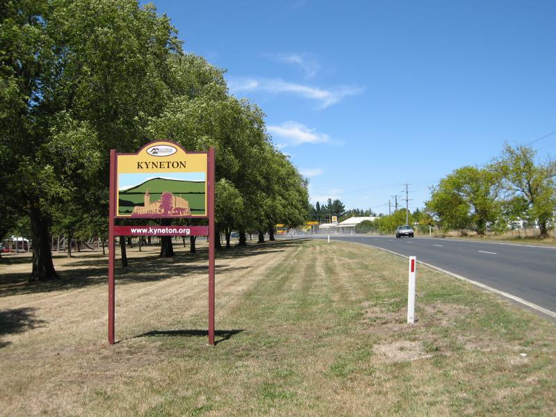 Around Kyneton - Kyneton town sign, view south-east along Burton Av towards Lauriston Rd
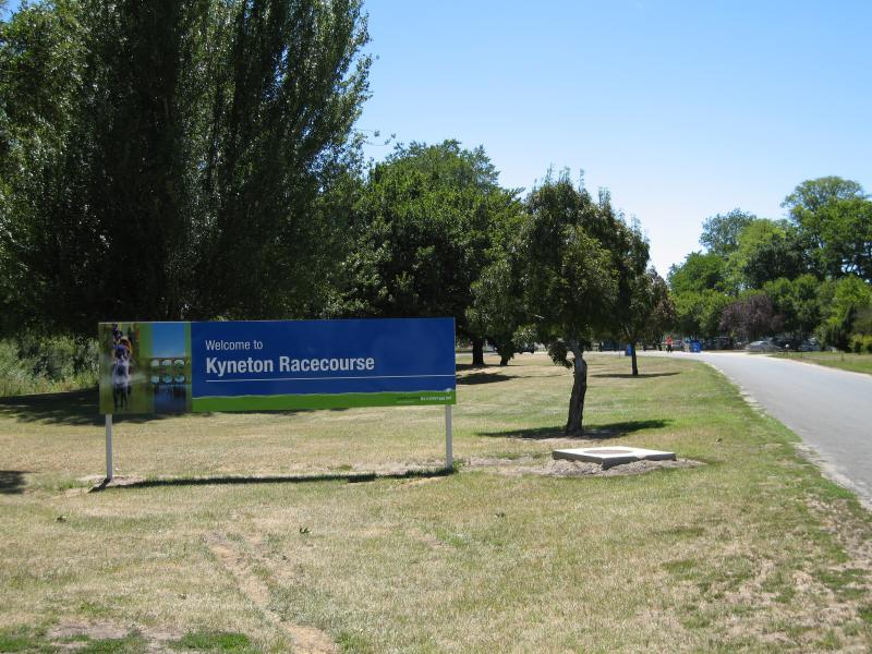 Around Kyneton - Entrance to Kyneton Racecourse, Campaspe Pl
 Around Kyneton - View west along Hutton St towards Powlett St
 Around Kyneton - View south along Mollison St at Bodkin St
 Around Kyneton - View west along Yaldwyn St at Powlett St
 Kyneton Mineral Springs Reserve, Burton Avenue - Shelter
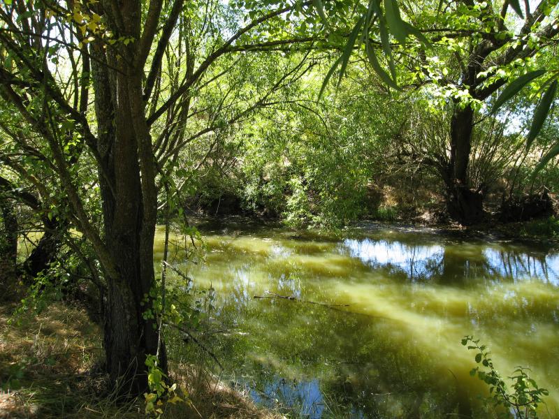 Kyneton Mineral Springs Reserve, Burton Avenue - View across Boggy Creek
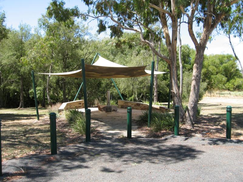
 Kyneton Mineral Springs Reserve, Burton Avenue - Rotunda at mineral spring
 Kyneton Mineral Springs Reserve, Burton Avenue - Rotunda at mineral spring
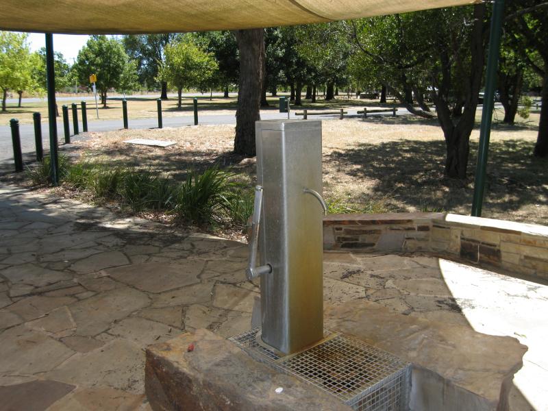
 Kyneton Mineral Springs Reserve, Burton Avenue - Mineral spring inside rotunda
 Kyneton Mineral Springs Reserve, Burton Avenue - Mineral spring at eastern end of reserve
 Kyneton Mineral Springs Reserve, Burton Avenue - Mineral spring at eastern end of reserve
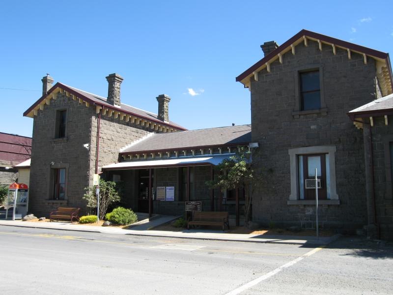 Railway station, Trentham Road - View of station from car park
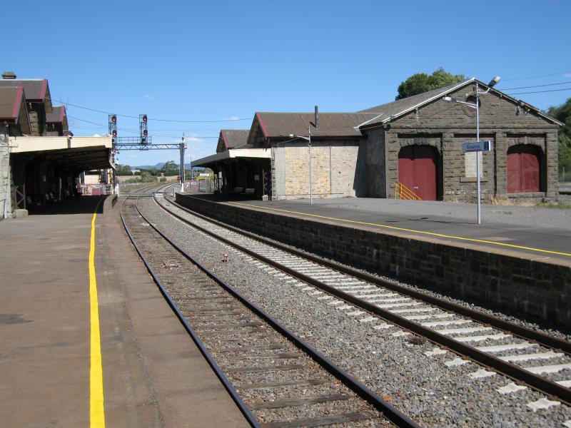 Railway station, Trentham Road - View south-east along station platform
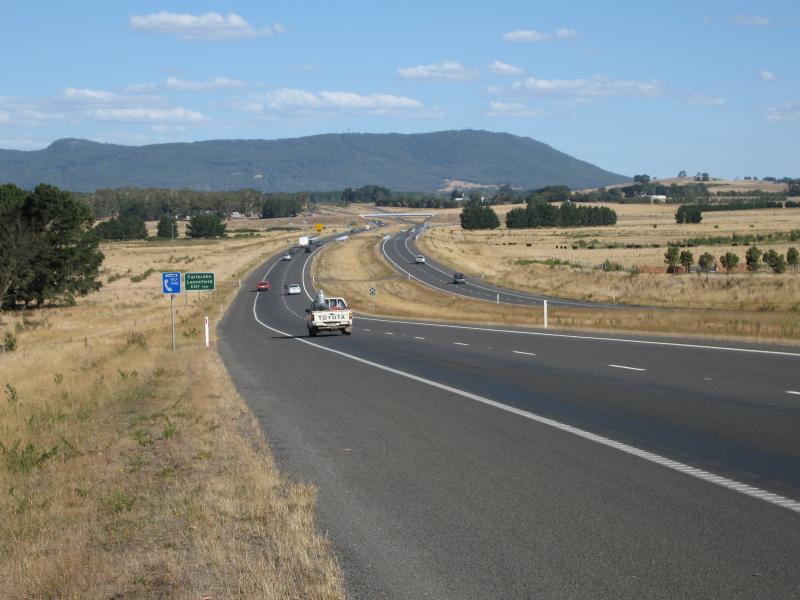 Calder Freeway - View south-east along Calder Fwy towards Carlsruhe exit with Mt Macedon in background
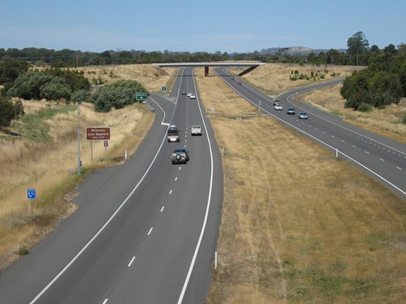
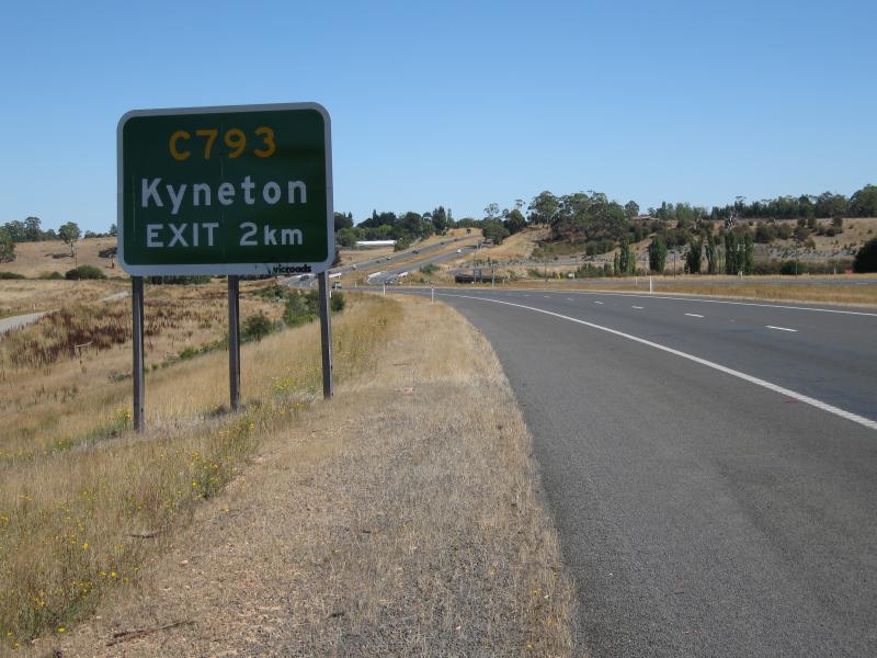 Calder Freeway - View north-west along Calder Fwy, 2 km from Kyneton exit (Bourke St)
 Calder Freeway - View south-east along Calder Fwy towards Campaspe River with Mt Macedon in background
 Calder Freeway - View north-west along Calder Fwy from Mollison St overpass
 Calder Freeway - View south-east along Calder Fwy from Mollison St overpass
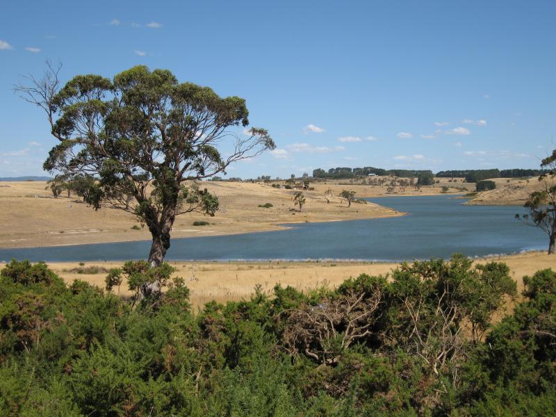 Lauriston Reservoir - View south towards Lauriston Reservoir from Lauriston Reservoir Rd, east of Keegans Rd
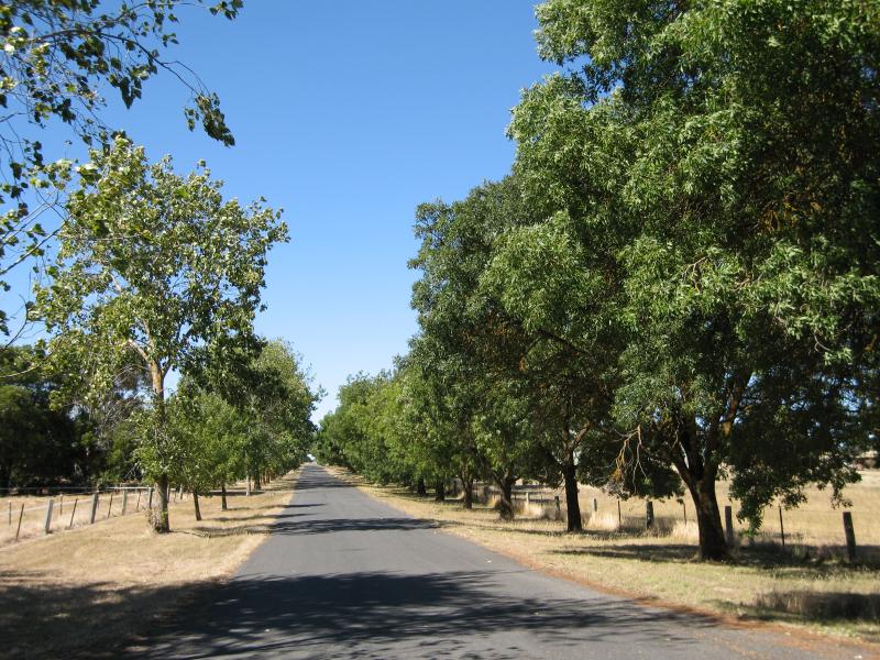 Lauriston Reservoir - View north along access road to Lauriston Reservoir entrance gate
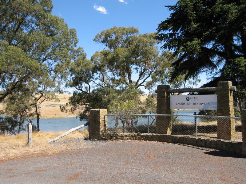 Lauriston Reservoir - Entrance gate to reservoir
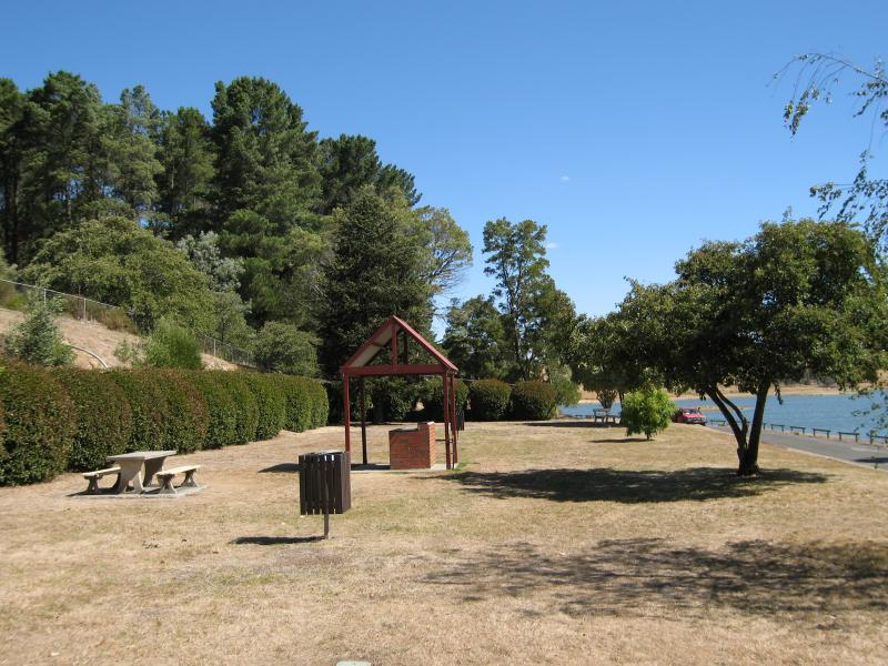
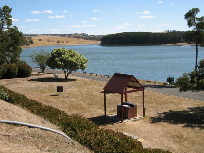
 Lauriston Reservoir - BBQ area
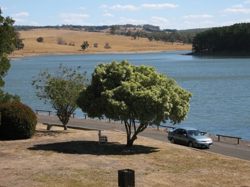
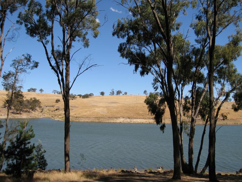 Lauriston Reservoir - View across reservoir
 Lauriston Reservoir - View across reservoir
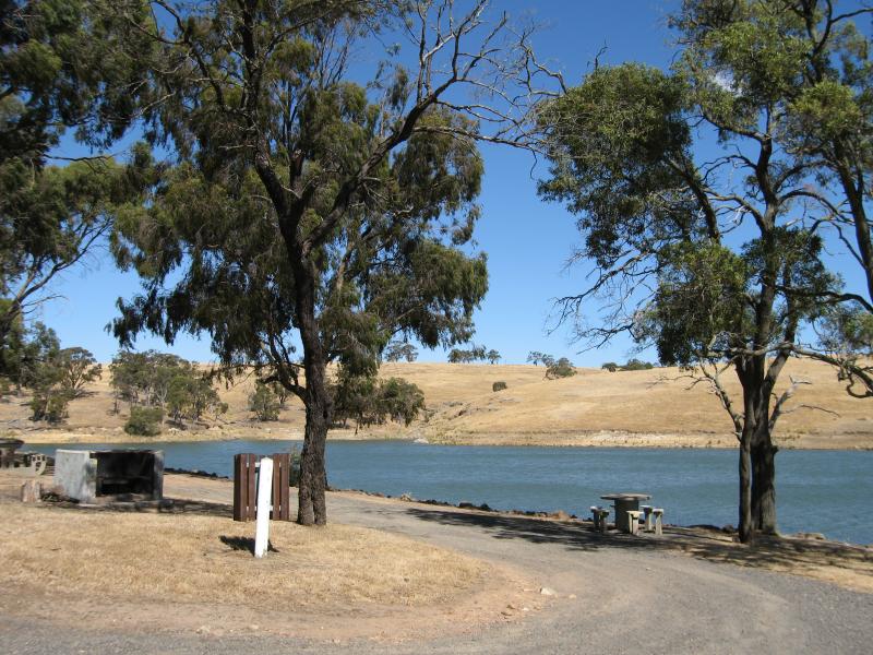
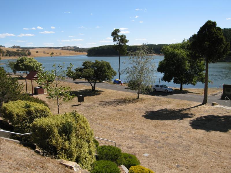
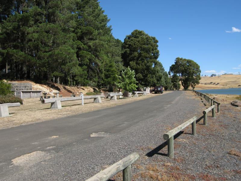 Lauriston Reservoir - Picnic and BBQ areas, view south along road to dam wall
 Lauriston Reservoir - View south along picnic and BBQ areas near dam wall
 Lauriston Reservoir - View south-west across picnic and BBQ areas near dam wall
 Lauriston Reservoir - View south-west across picnic and BBQ areas near dam wall
 Lauriston Reservoir - View west across reservoir near dam wall
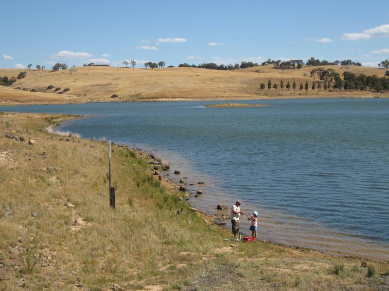 Lauriston Reservoir - Fishing along the shores of the reservoir near the dam wall
 Lauriston Reservoir - View north along reservoir towards dam wall
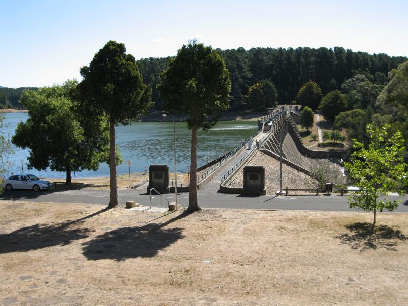 Lauriston Reservoir - View west towards dam wall
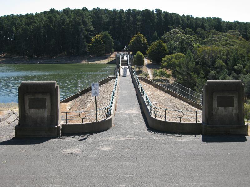 Lauriston Reservoir - View west along dam wall
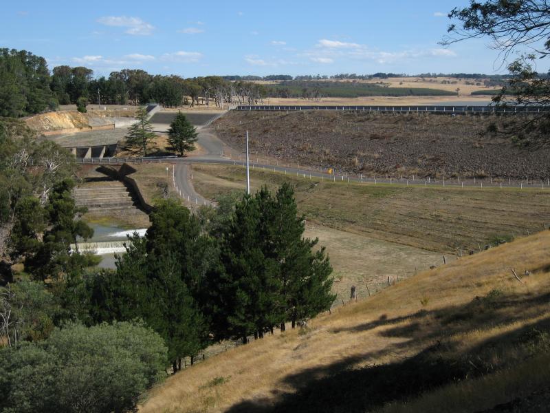
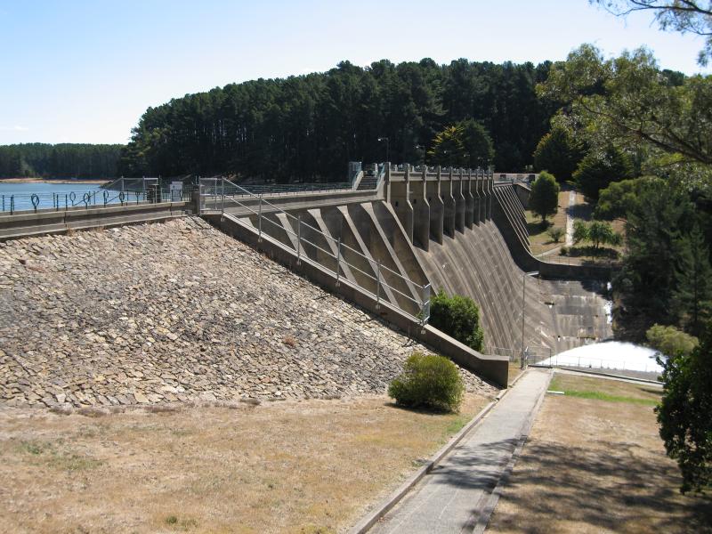 Lauriston Reservoir - View west towards base of dam wall and spillway
 Upper Coliban Reservoir - Car park entrance at Springhill Rd
 Upper Coliban Reservoir - View across reservoir from car park at dam wall
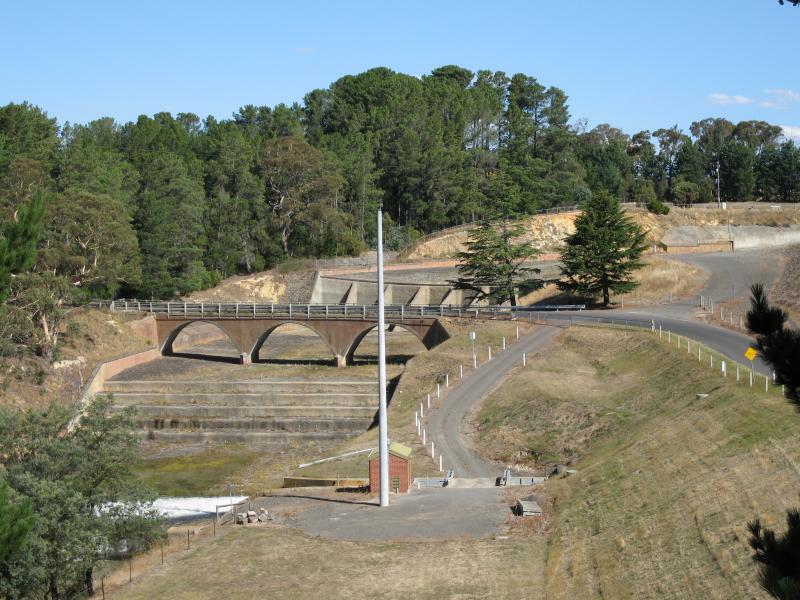
 Upper Coliban Reservoir - View along spillway at dam wall from Springhill Rd
 Upper Coliban Reservoir - View south towards Springhill Rd bridge over spillway at dam wall
 Upper Coliban Reservoir - View south towards dam wall, spillway and Springhill Rd along base of dam wall