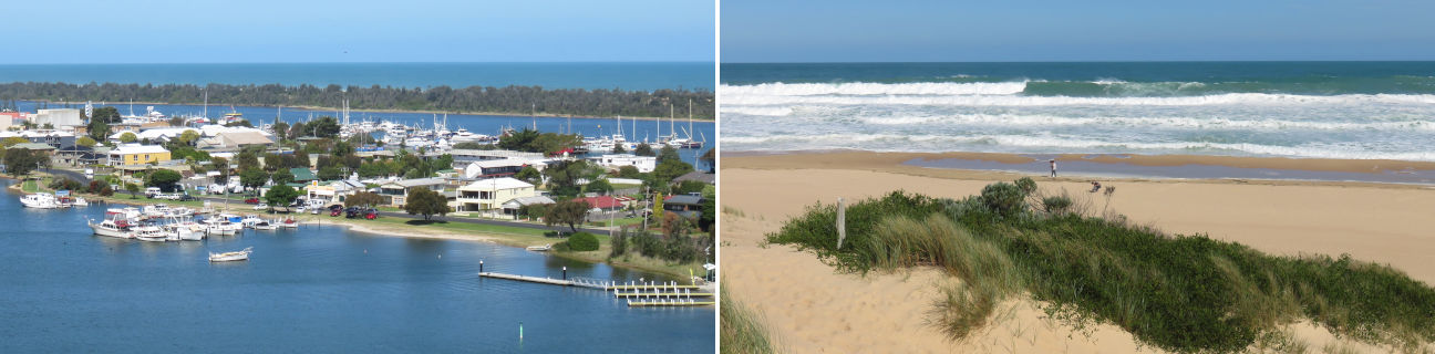
Lakes Entrance - photos
Lakes Entrance
Stay
See and do
Food and drink
Shopping
Getting around
Visitor information
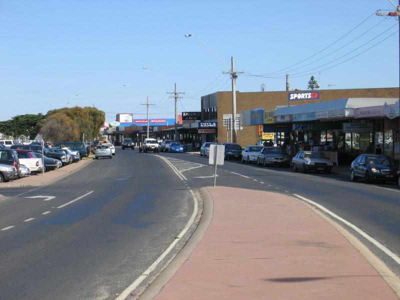
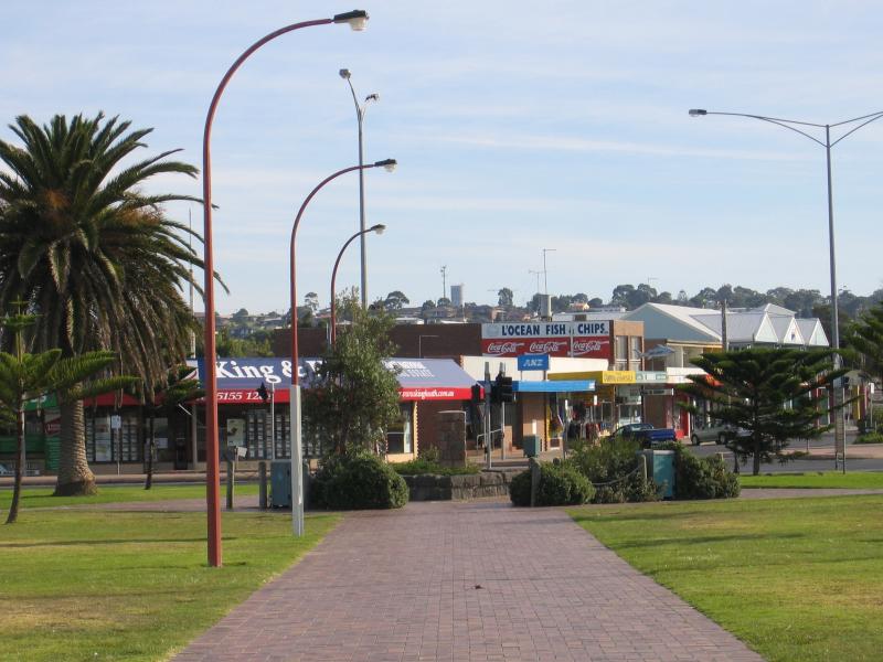
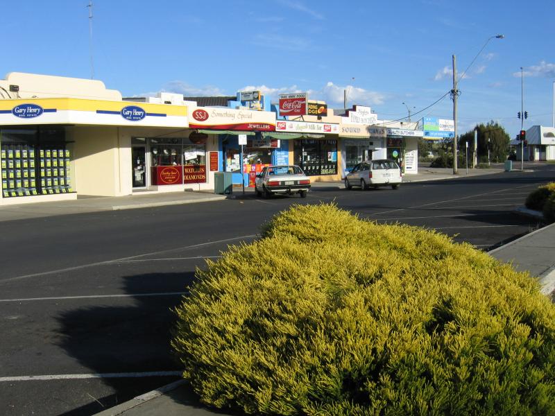 Myer Street and shops - View south along Myer St towards Esplanade
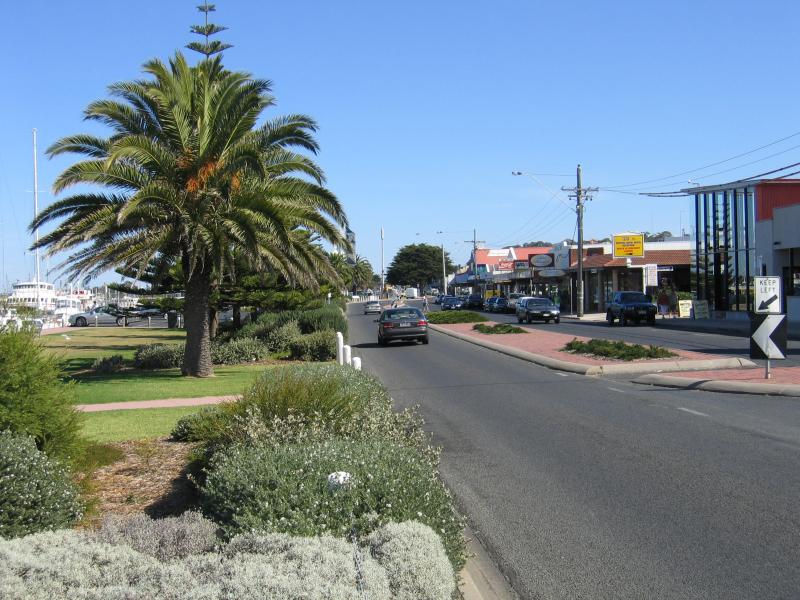
 Myer Street and shops - View south along Myer St from Church St
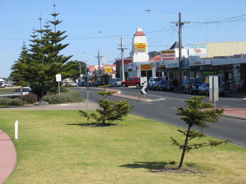
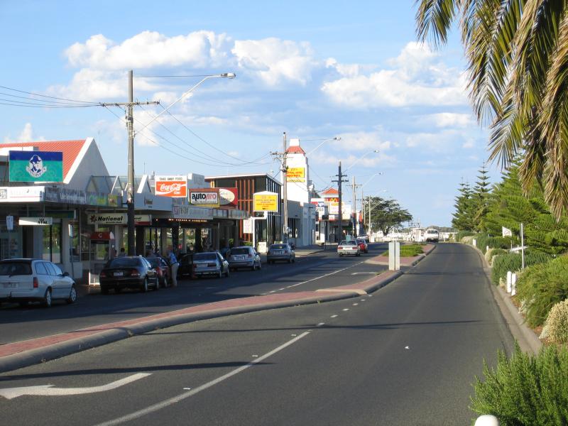
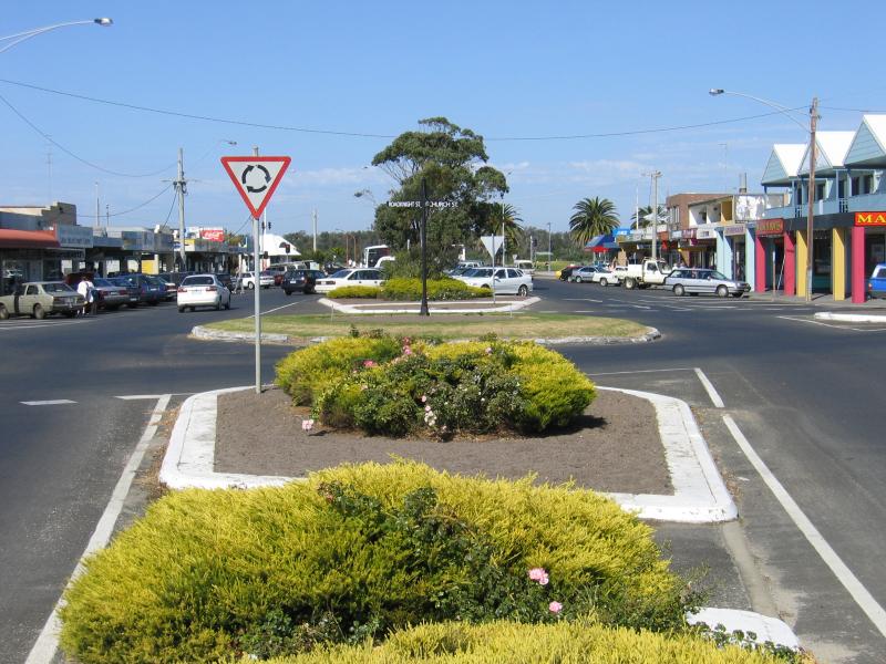 Myer Street and shops - View south along Myer St towards Roadknight St and Church St
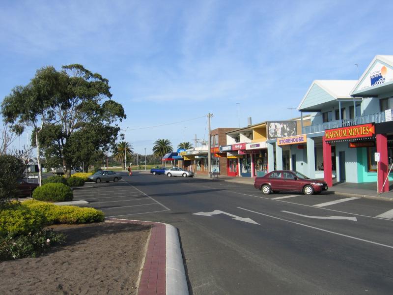
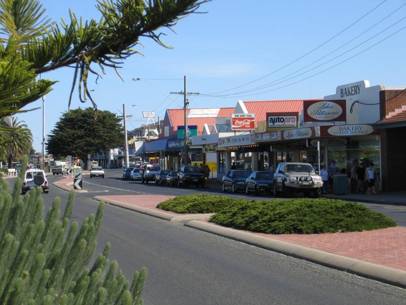
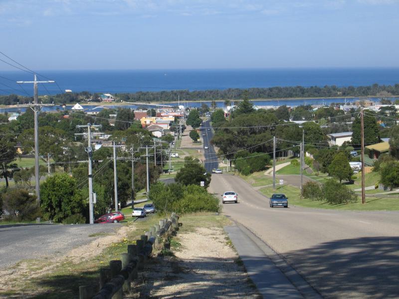 Myer Street and shops - View south along Myer St at Lakeview Dr
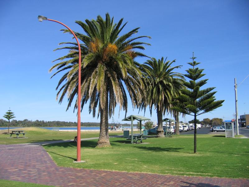
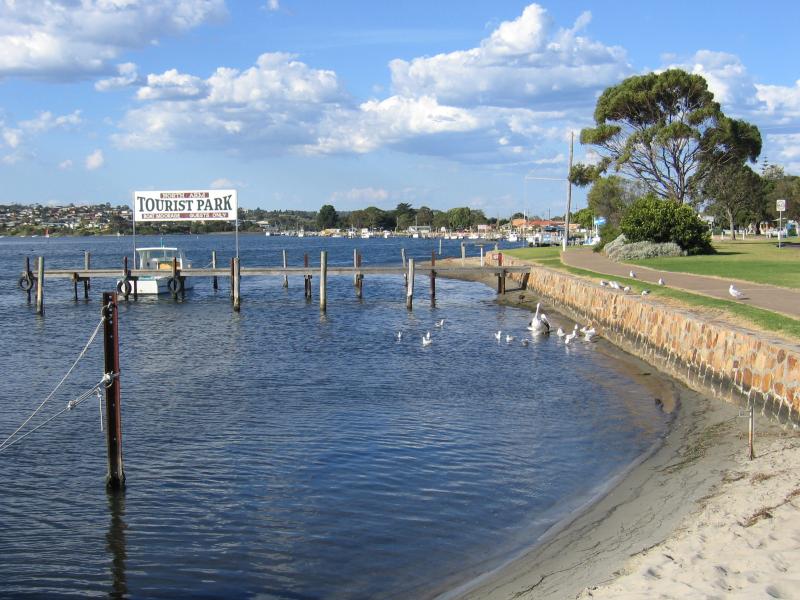
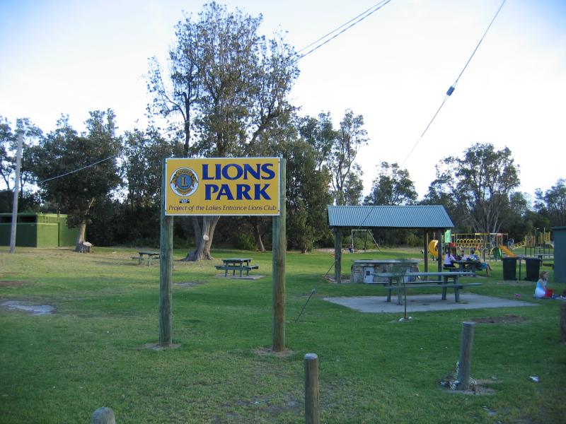 Eastern Beach and Lions Park - Lions Park, off Eastern Beach Rd
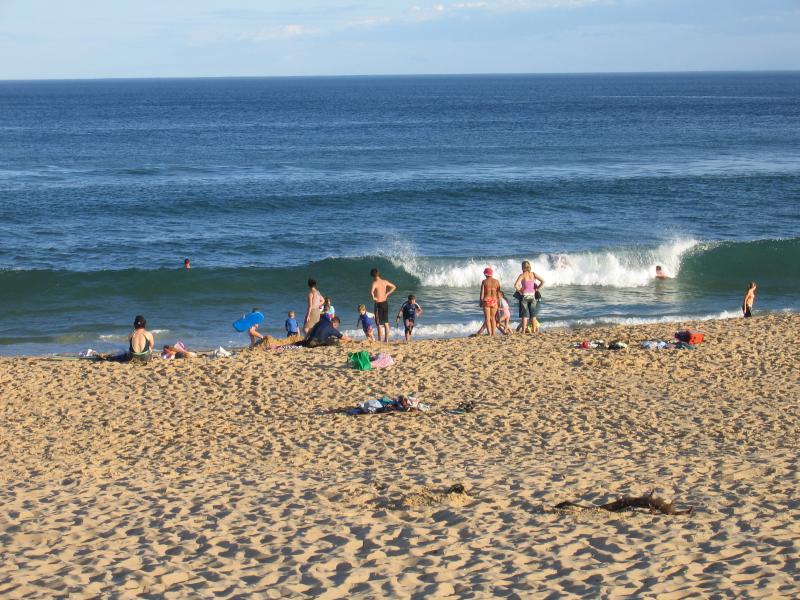 Eastern Beach and Lions Park - People on the beach
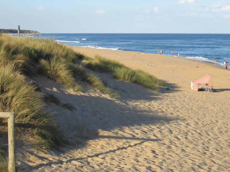 Eastern Beach and Lions Park - View east along coast
 Shops and accommodation along Esplanade - Accommodation, view east along Esplanade towards Whiters St
 Shops and accommodation along Esplanade - View west along Esplanade at Myer St
 Shops and accommodation along Esplanade - View west along Esplanade towards Bulmer St
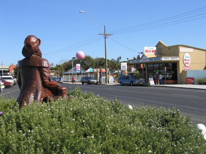
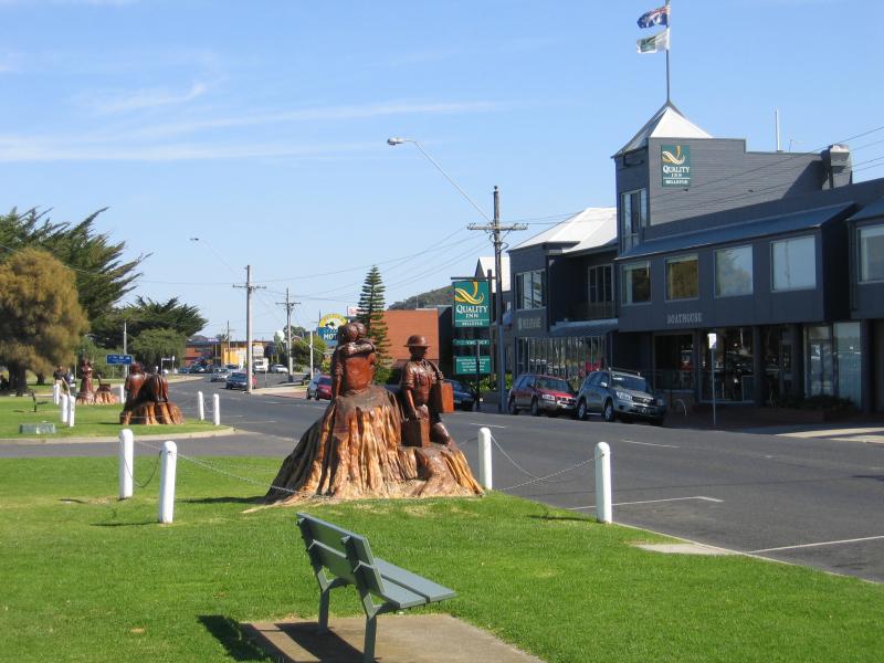
 Shops and accommodation along Esplanade - Wooden sculpture, view west along Esplanade at Bulmer St
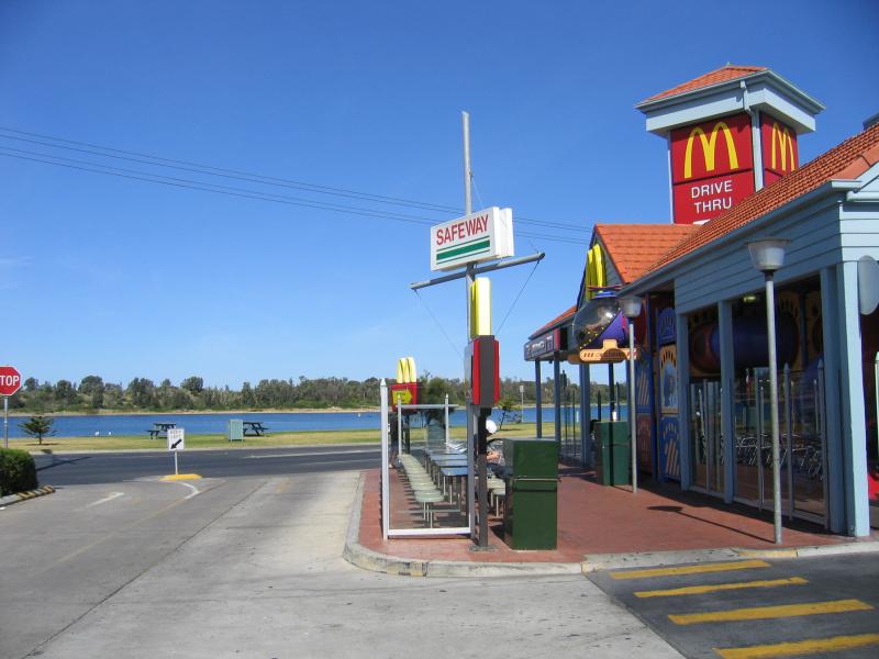 Shops and accommodation along Esplanade - McDonalds, offering water front views for diners
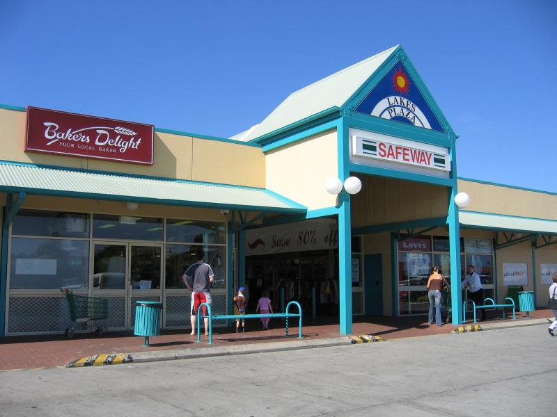 Shops and accommodation along Esplanade - Lakes Plaza Shopping Centre, corner Church St and Bulmer St
 Shops and accommodation along Esplanade - View west along Esplanade towards Mechanics St
 Shops and accommodation along Esplanade - View west along Esplanade at Mechanics St
 Shops and accommodation along Esplanade - View west along Esplanade between Mechanics St and Barks Av
 Shops and accommodation along Esplanade - View east along Esplanade at Barks Av
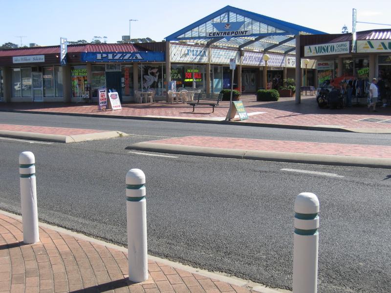 Shops and accommodation along Esplanade - Centrepoint arcade, Esplanade at Barks Av
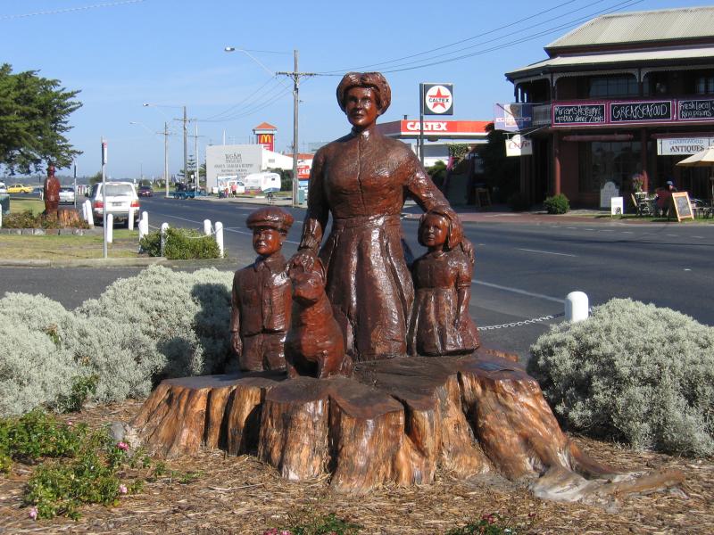
 Shops and accommodation along Esplanade - Wooden sculpture, view west along Esplanade between Barks Av and Carstairs Av
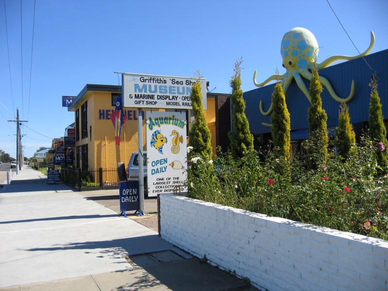 Shops and accommodation along Esplanade - Griffiths Sea Shell Museum and Marine Display
 Shops and accommodation along Esplanade - View west along Esplanade between Carstairs Av and Laura St
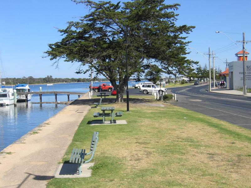
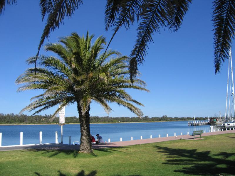
 Marinas, jetties and foreshore, Cunninghame Arm along Esplanade - View east along foreshore at footbridge
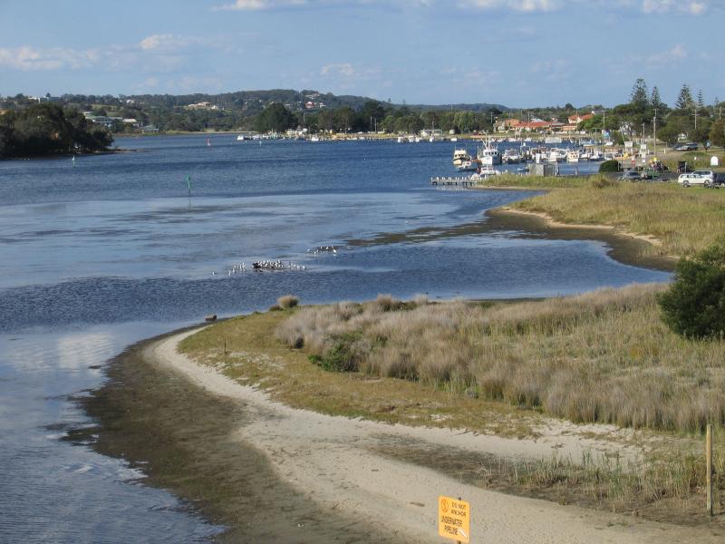
 Marinas, jetties and foreshore, Cunninghame Arm along Esplanade - View south across Cunninghame Arm, east of footbridge
 Marinas, jetties and foreshore, Cunninghame Arm along Esplanade - Path along foreshore, east of footbridge
 Marinas, jetties and foreshore, Cunninghame Arm along Esplanade - View west along foreshore at footbridge
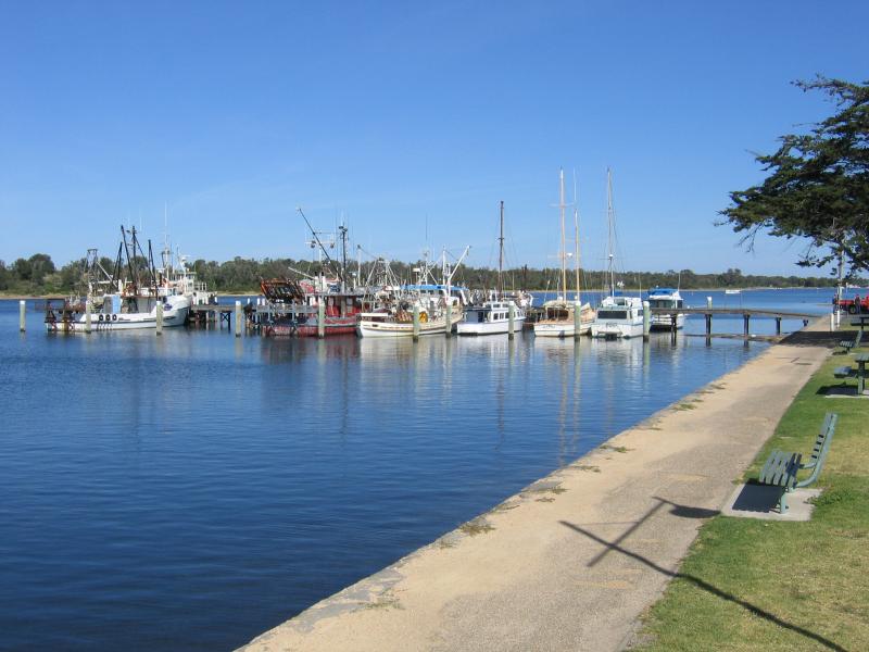 Marinas, jetties and foreshore, Cunninghame Arm along Esplanade - View west along foreshore towards Bank Jetty
 Marinas, jetties and foreshore, Cunninghame Arm along Esplanade - View west along foreshore towards Bank Jetty
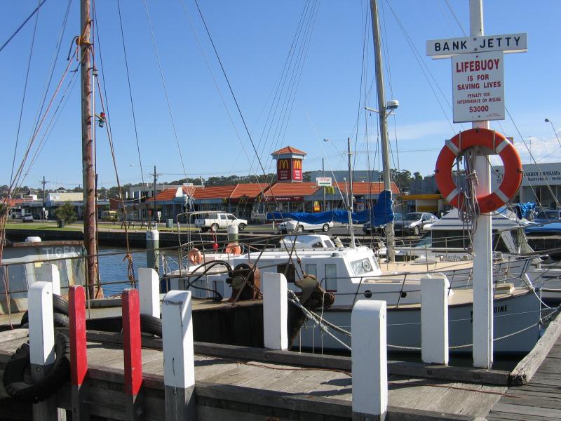 Marinas, jetties and foreshore, Cunninghame Arm along Esplanade - Bank Jetty, Esplanade between Bulmer St and Mechanics St
 Marinas, jetties and foreshore, Cunninghame Arm along Esplanade - View west along foreshore opposite Mechanics St
 Marinas, jetties and foreshore, Cunninghame Arm along Esplanade - View west along foreshore opposite Mechanics St
 Marinas, jetties and foreshore, Cunninghame Arm along Esplanade - View west along foreshore towards Post Office Jetty
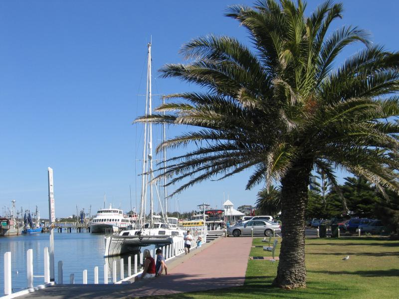
 Marinas, jetties and foreshore, Cunninghame Arm along Esplanade - Entrance to Post Office Jetty, opposite Barks Av
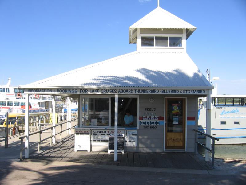 Marinas, jetties and foreshore, Cunninghame Arm along Esplanade - Cruise booking office, Post Office Jetty
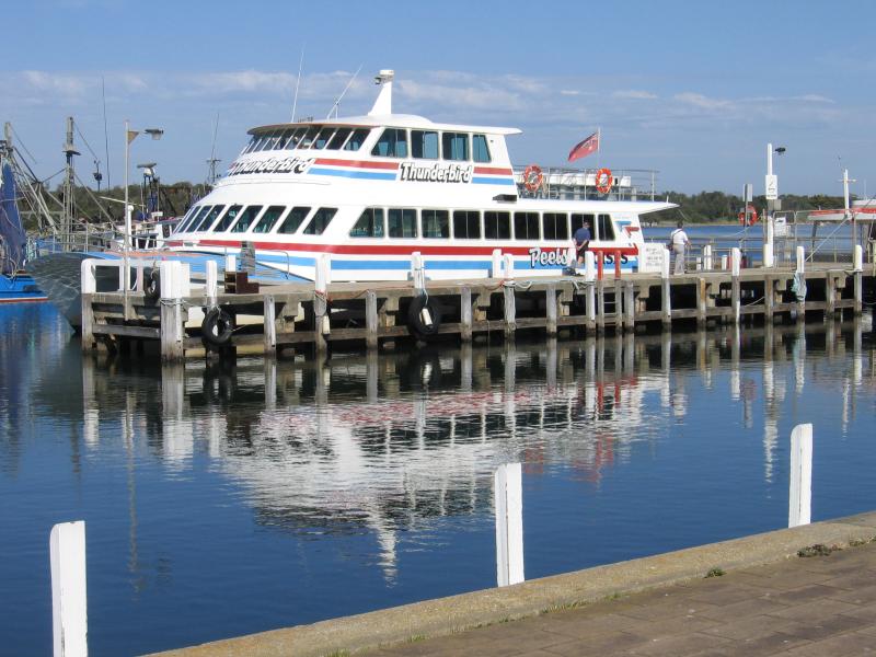 Marinas, jetties and foreshore, Cunninghame Arm along Esplanade - The Thunderbird lake cruiser, moored at the Post Office Jetty
 Marinas, jetties and foreshore, Cunninghame Arm along Esplanade - Ferrymans Seafood Cafe, west of Post Office Jetty
 Marinas, jetties and foreshore, Cunninghame Arm along Esplanade - Central Harbour between Barks Av and Carstairs Av
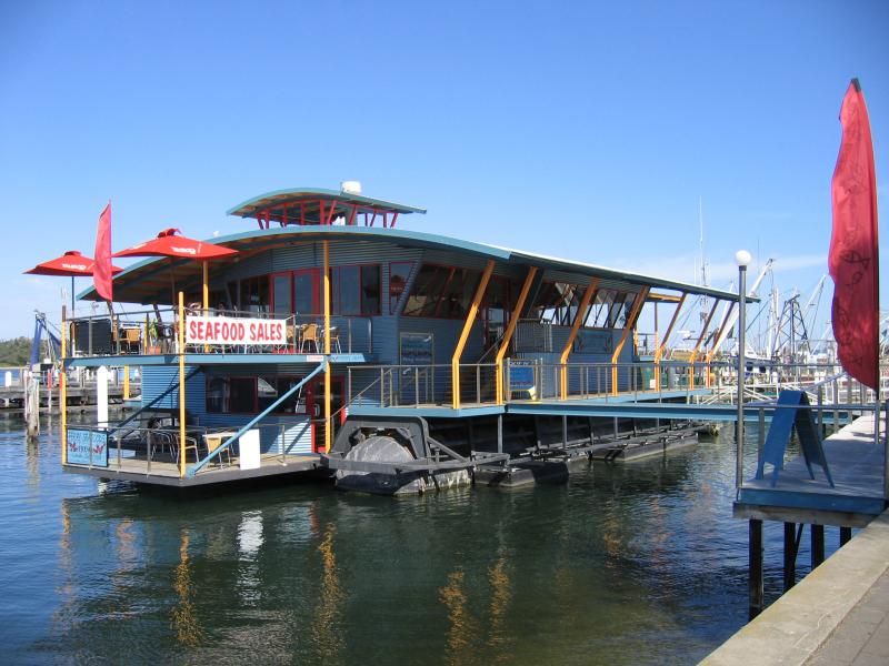
 Marinas, jetties and foreshore, Cunninghame Arm along Esplanade - Western Harbour and Nautilus floating dockside restaurant, opposite Carstairs Av
 Marinas, jetties and foreshore, Cunninghame Arm along Esplanade - View south across Cunninghame Arm between Carstairs Av and Laura St
 Marinas, jetties and foreshore, Cunninghame Arm along Esplanade - Foreshore between Carstairs Av and Laura St
 Marinas, jetties and foreshore, Cunninghame Arm along Esplanade - View west along foreshore between Carstairs Av and Laura St
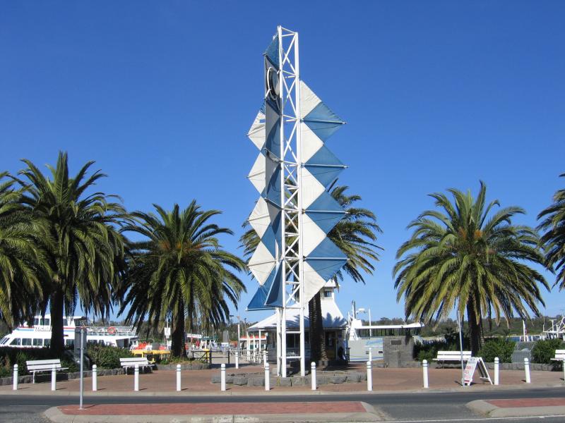
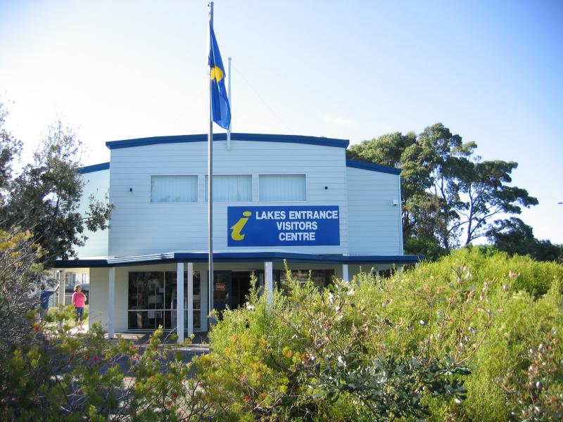 Apex Park and Rotary Park, Marine Parade at Esplanade - Lakes Entrance Visitors Centre, Rotary Park
 Apex Park and Rotary Park, Marine Parade at Esplanade - View north-west through Apex Park and along North Arm
 Marine Parade - Jetties, view east along North Arm between Laura St and Carstairs Av
 Marine Parade - Jetty between Laura St and Carstairs Av
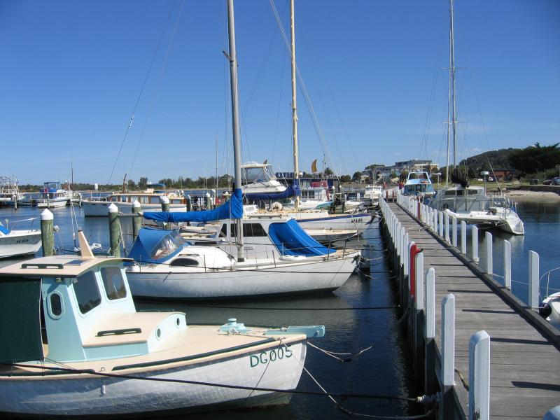
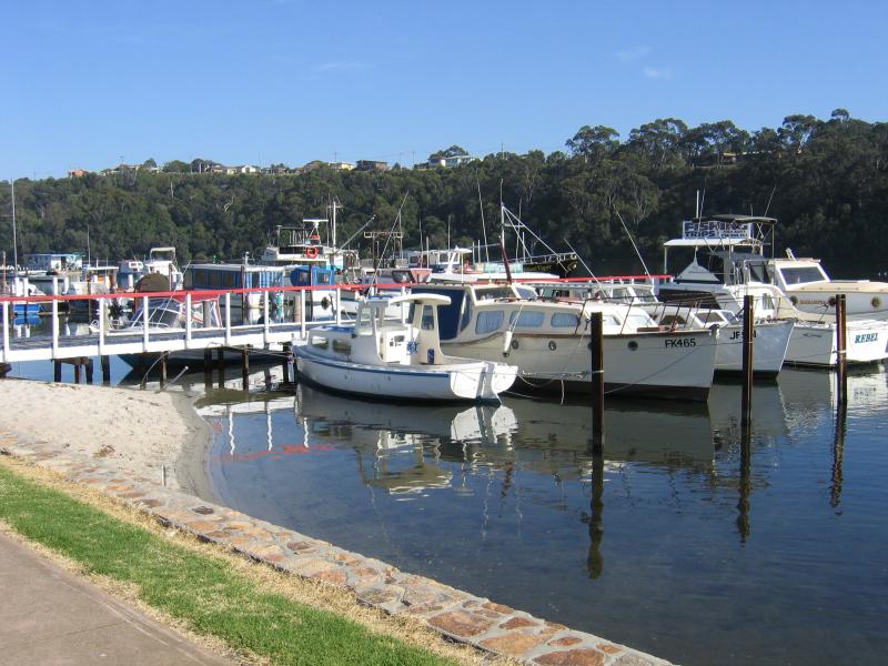
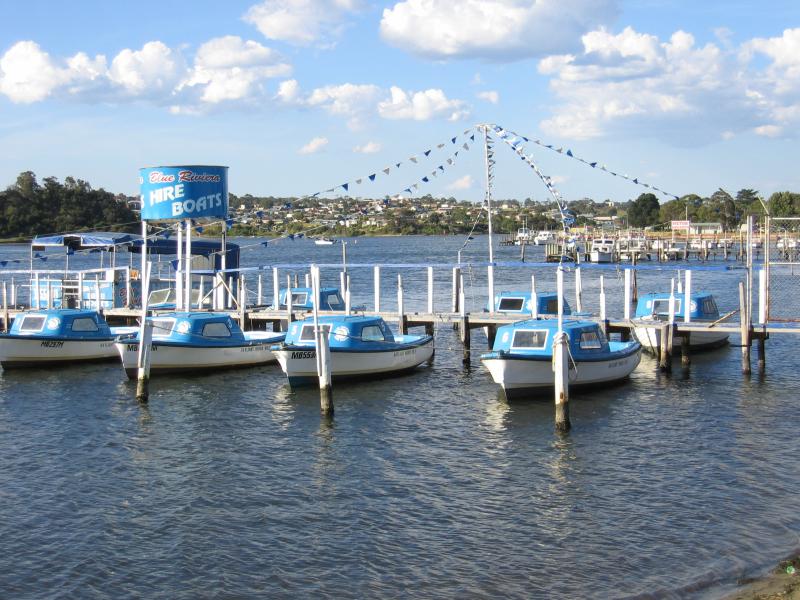 Marine Parade - Hire boats opposite Carstairs Av
 Marine Parade - View north across North Arm between Carstairs Av and Barks Av
 Marine Parade - View west along North Arm, Rowe St at Barks Av
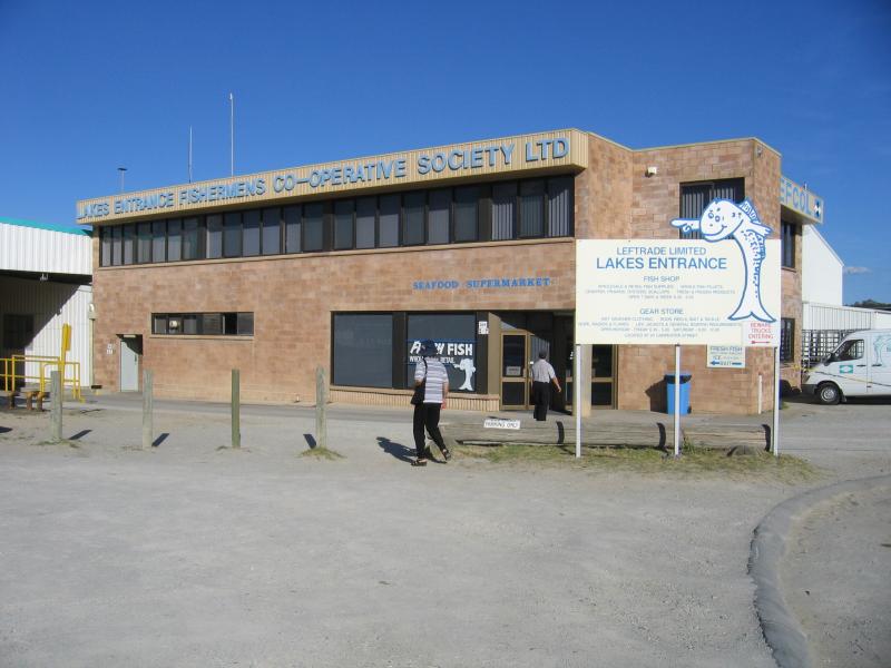 Bullock Island - Lakes Entrance Fishermans Co-Op and seafood supermarket, Bullock Island Rd
 Bullock Island - View east to Bullock Island from bridge
 North Arm at Bullock Island - View south-west along North Arm from Princes Hwy towards Bullock Island
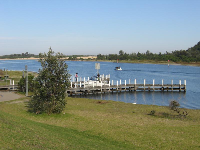 North Arm at Bullock Island - Jetty and boat ramp, North Arm north of Bullock Island
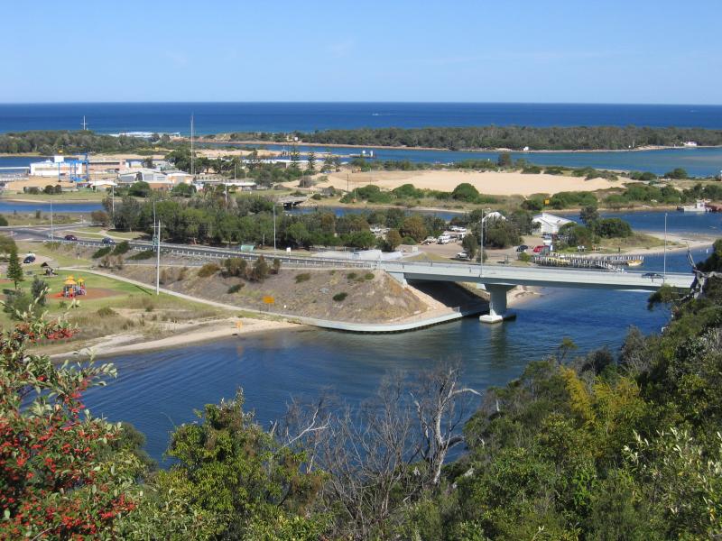
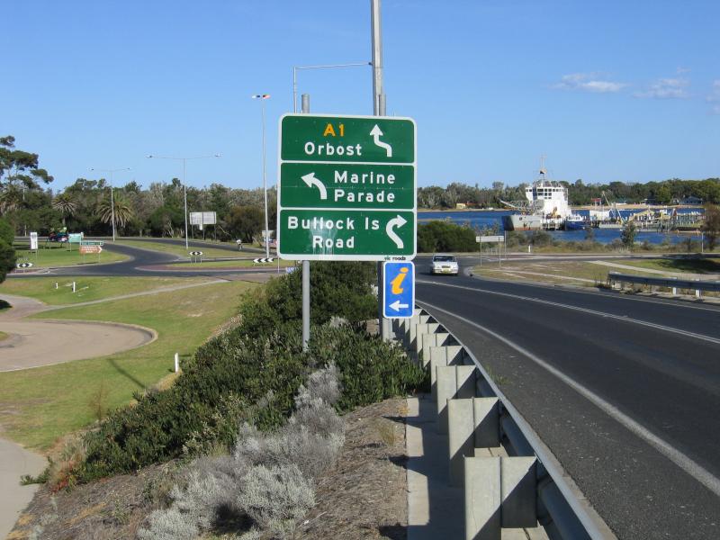 Princes Highway bridge over North Arm - View south-east along Princes Hwy towards Marine Pde
 Princes Highway bridge over North Arm - View north-east along North Arm
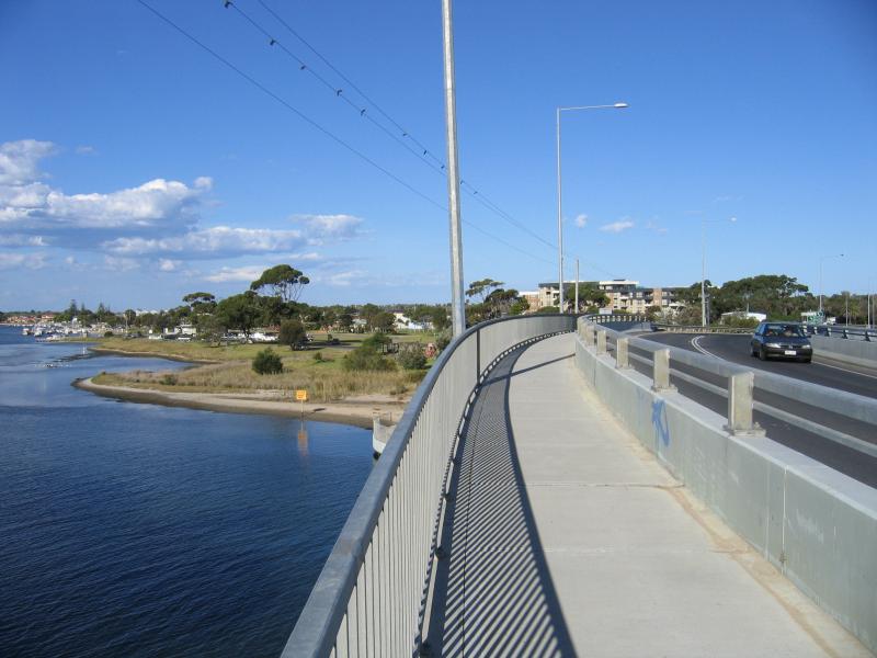 Princes Highway bridge over North Arm - View south-east along bridge
 Princes Highway bridge over North Arm - View south-west along North Arm
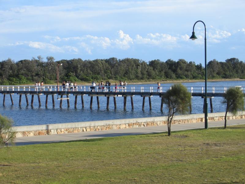
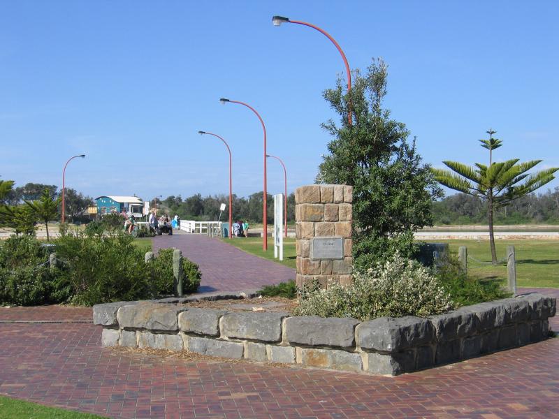 Footbridge across Cunninghame Arm from Esplanade to Main Beach - View towards footbridge from Esplanade
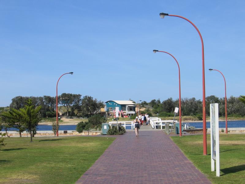 Footbridge across Cunninghame Arm from Esplanade to Main Beach - View towards footbridge
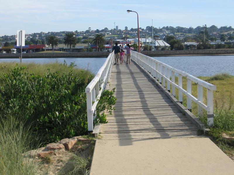
 Footbridge across Cunninghame Arm from Esplanade to Main Beach - View from footbridge, back to Esplanade at Myer St
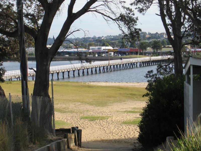
 Footbridge across Cunninghame Arm from Esplanade to Main Beach - View west to footbridge from foreshore along Esplanade
 Footbridge across Cunninghame Arm from Esplanade to Main Beach - View south along footbridge
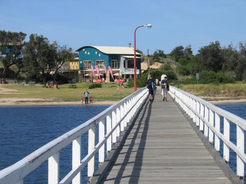
 Footbridge across Cunninghame Arm from Esplanade to Main Beach - View north along footbridge at Main Beach towards town centre
 Footbridge across Cunninghame Arm from Esplanade to Main Beach - Surfside Cafe, Main Beach
 Footbridge across Cunninghame Arm from Esplanade to Main Beach - View north towards footbridge from path to Ninety Mile Beach
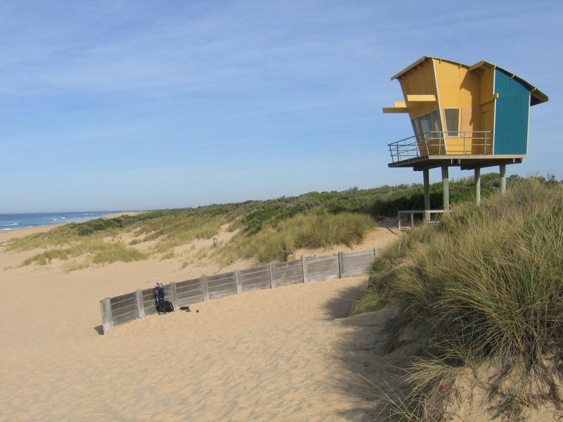 Ninety Mile Beach - Surf Life Saving Club near footbridge
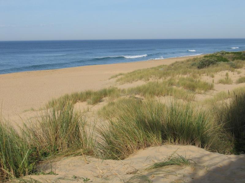 Ninety Mile Beach - View west along beach near footbridge
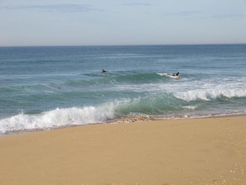 Ninety Mile Beach - Surfers in the water near footbridge
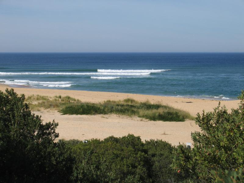 Ninety Mile Beach - View south across beach near The Narrows from Flagstaff Lookout
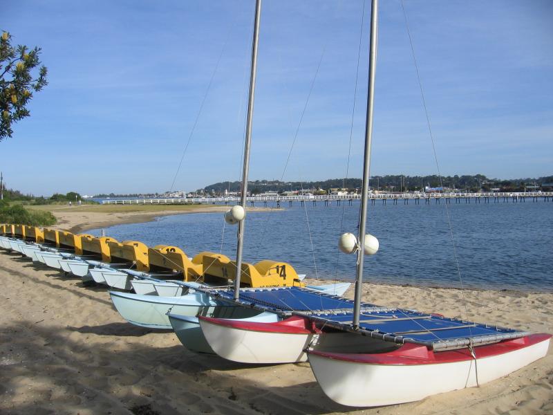 Main Beach along Cunninghame Arm - Hire boats, east of footbridge
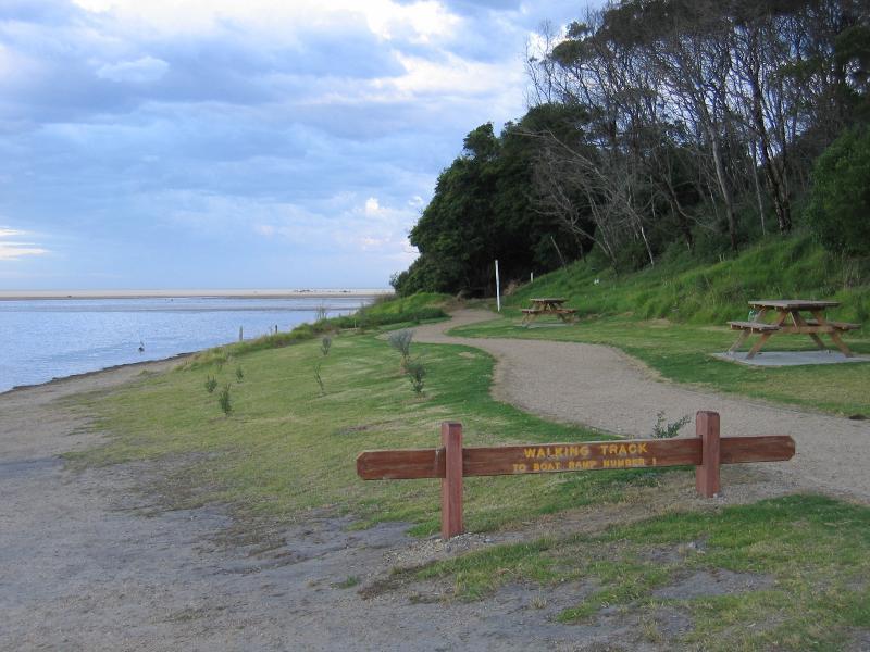
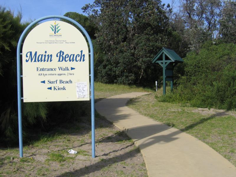 Main Beach along Cunninghame Arm - Start of the 'Entrance Walk' near footbridge
 Main Beach along Cunninghame Arm - View west along coast from lookout west of footbridge
 Main Beach along Cunninghame Arm - View west along coast from lookout west of footbridge
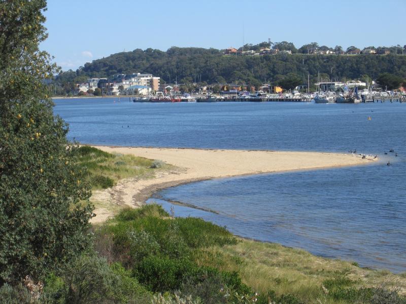
 Main Beach along Cunninghame Arm - View west along coast towards Esplanade near Laura St
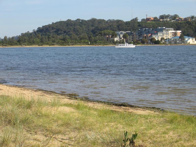
 Main Beach along Cunninghame Arm - View north across Cunninghame Arm towards Esplanade near Laura St
 Main Beach along Cunninghame Arm - View north along one of several jetties and across Cunninghame Arm
 Main Beach along Cunninghame Arm - View west along coast
 Main Beach along Cunninghame Arm - Jetty and beachfront holiday houses
 Main Beach along Cunninghame Arm - View west towards Flagstaff Jetty
 Main Beach along Cunninghame Arm - Picnic and BBQ area at Flagstaff Jetty
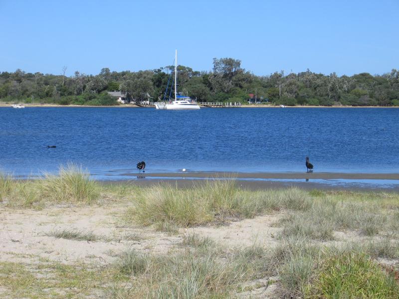
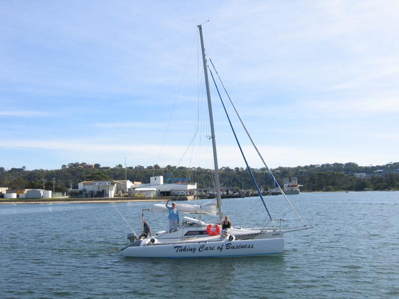 Main Beach along Cunninghame Arm - The 'Taking Care of Business' yacht viewed from Flagstaff Jetty
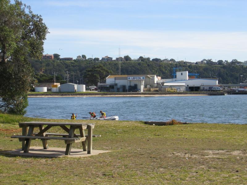
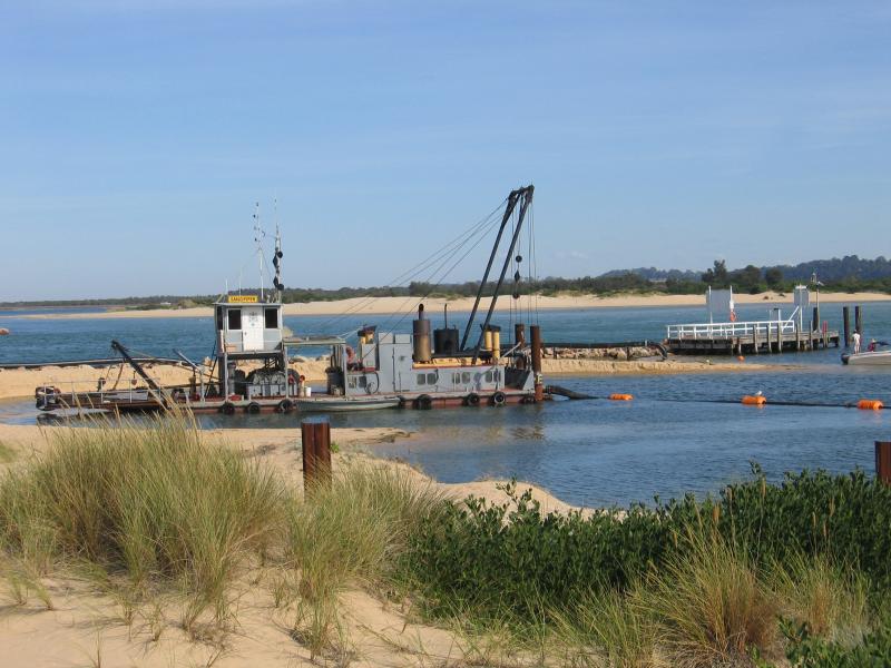 Main Beach along Cunninghame Arm - The Sandpiper at work, Cunninghame Arm at The Narrows
 Main Beach along Cunninghame Arm - View west across The Narrows
 Main Beach along Cunninghame Arm - Machinery relics at the New Works Historic Site which fronts The Narrows
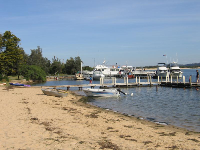
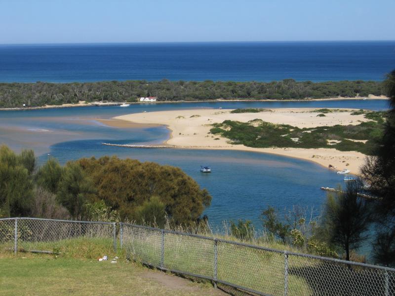
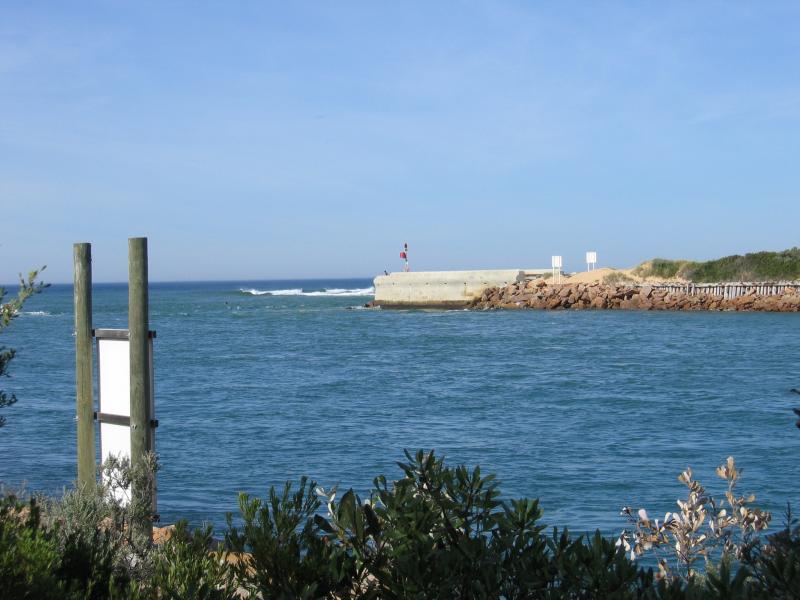 Main Beach along Cunninghame Arm - View south along The Narrows towards ocean entrance at Bass Strait
 Main Beach along Cunninghame Arm - Path to Flagstaff Lookout
 Main Beach along Cunninghame Arm - View west across The Narrows from Flagstaff Lookout
 Residential areas along North Arm - View south along North Arm from end of Capes Rd
 Residential areas along North Arm - View west across North Arm from Bass Cl
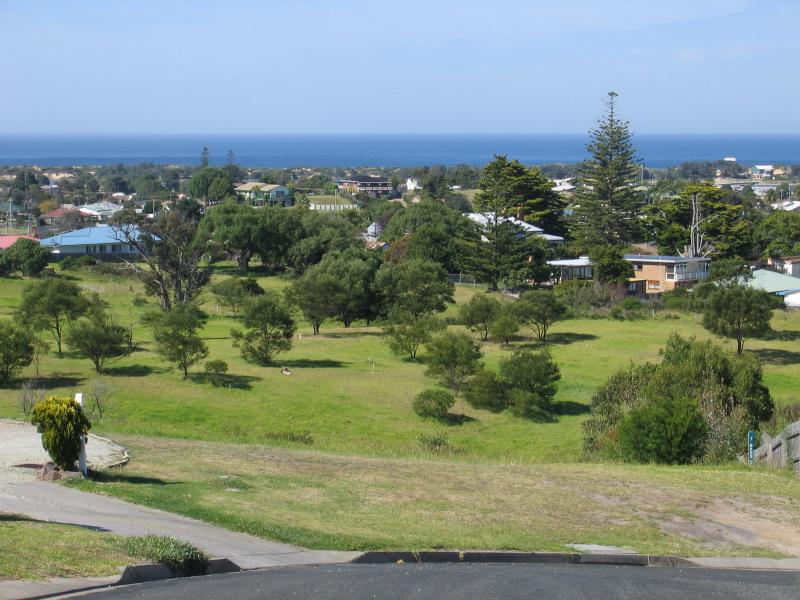 Residential areas along North Arm - View south-east across houses from end of Blass Cl
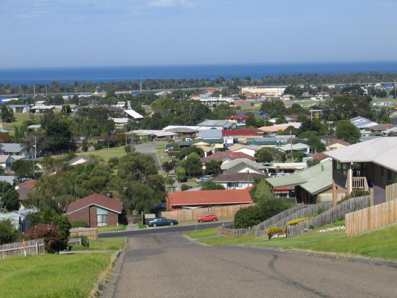 Residential areas along North Arm - View south along Hillcrest Rise at O'Neills Rd
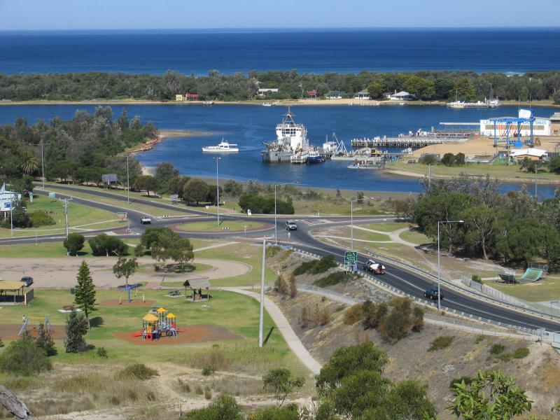
 Lookouts along Princes Highway, Kalimna - View south-east towards bridge at Bullock Island
 Lookouts along Princes Highway, Kalimna - View south-west towards Bullock Island
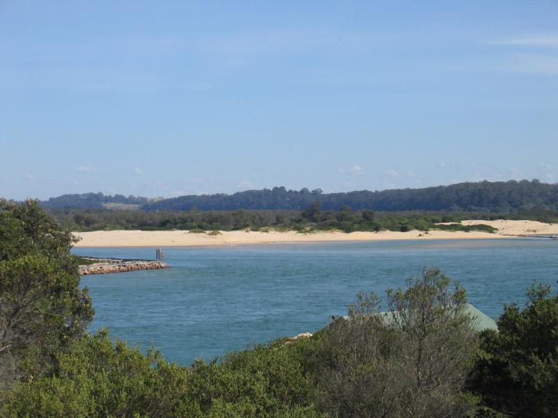
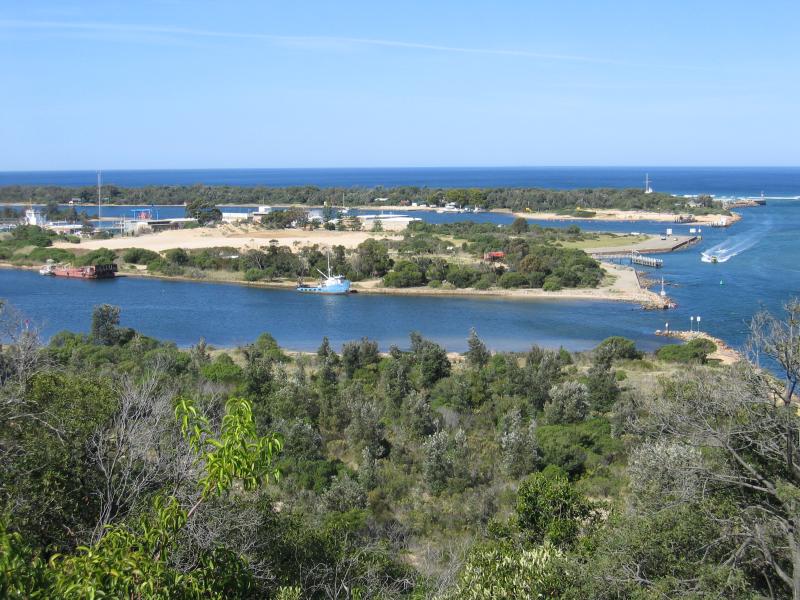
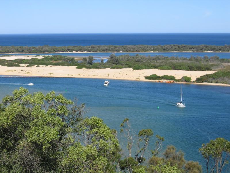
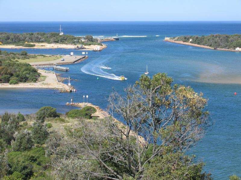 Lookouts along Princes Highway, Kalimna - View south-east along The Narrows towards sea entrance at Bass Strait
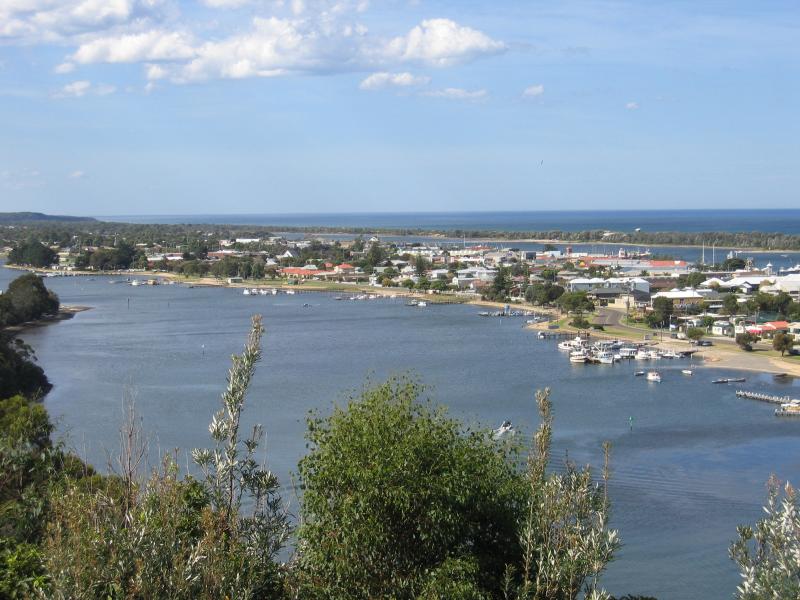
 Lookouts along Princes Highway, Kalimna - View east
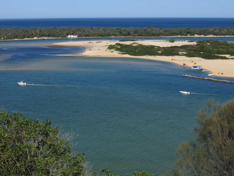 Lookouts along Princes Highway, Kalimna - View south across Rigby Island
 Lookouts along Princes Highway, Kalimna - View south across Rigby Island
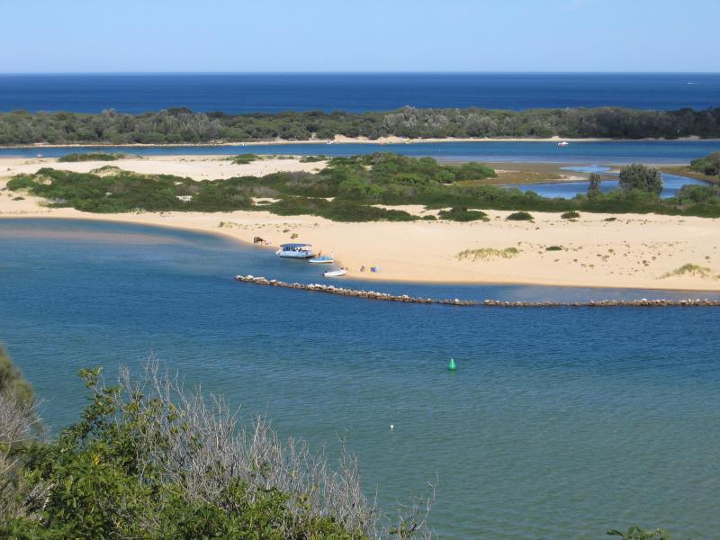
 Lookouts along Princes Highway, Kalimna - View south-west across Rigby Island
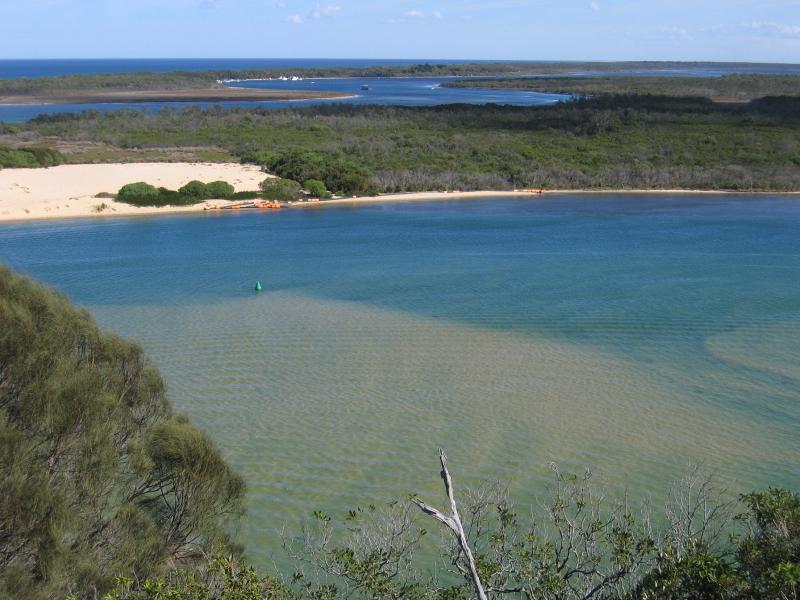
 Lookouts along Princes Highway, Kalimna - View west along The Narrows
 Lookouts along Princes Highway, Kalimna - View south-east along Princes Hwy towards Bullock Island
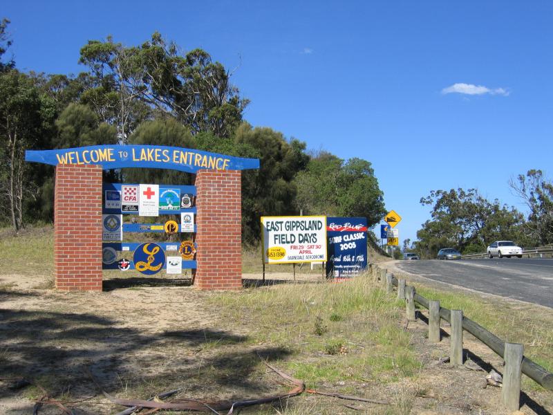 Lookout, corner Princes Highway and Hotel Road, Kalimna - Welcome to Lakes Entrance sign, view south-east along Princes Hwy at Hotel Rd
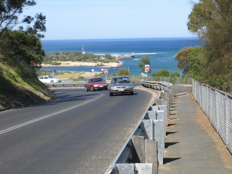
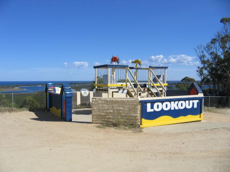 Lookout, corner Princes Highway and Hotel Road, Kalimna - Lookout
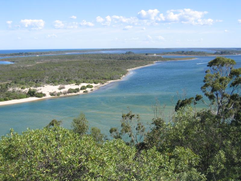
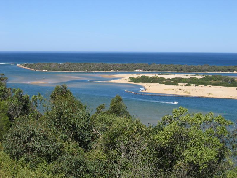 Lookout, corner Princes Highway and Hotel Road, Kalimna - View south-east along The Narrows towards Rigby Island
 Lookout, corner Princes Highway and Hotel Road, Kalimna - View south across Rigby Island
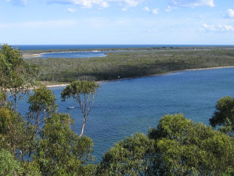
 Lookout, corner Princes Highway and Hotel Road, Kalimna - View west along The Narrows and Rigby Island
 Jemmys Point Lookout, Lookout Road, Kalimna - Observation tower at car park
 Jemmys Point Lookout, Lookout Road, Kalimna - View south to Rigby Island
 Jemmys Point Lookout, Lookout Road, Kalimna - View west along The Narrows and Rigby Island
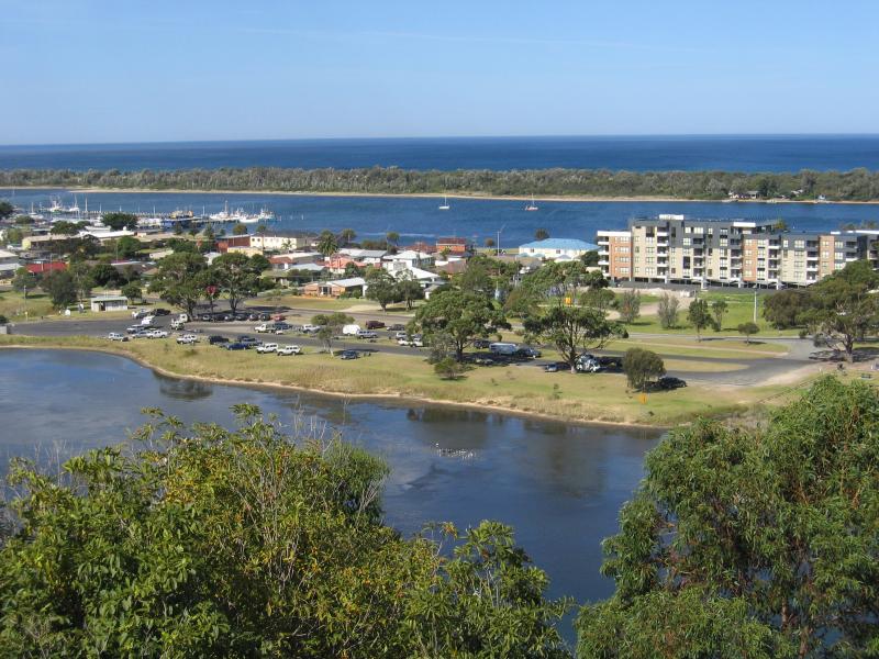
 Views from Seaview Parade, Kalimna - View south towards Princes Hwy bridge over North Arm
 Views from Seaview Parade, Kalimna - View south-east towards Apex Park and Esplanade at Marine Pde
 Views from Seaview Parade, Kalimna - View south across North Arm towards Apex Park at Marine Pde
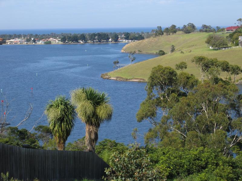
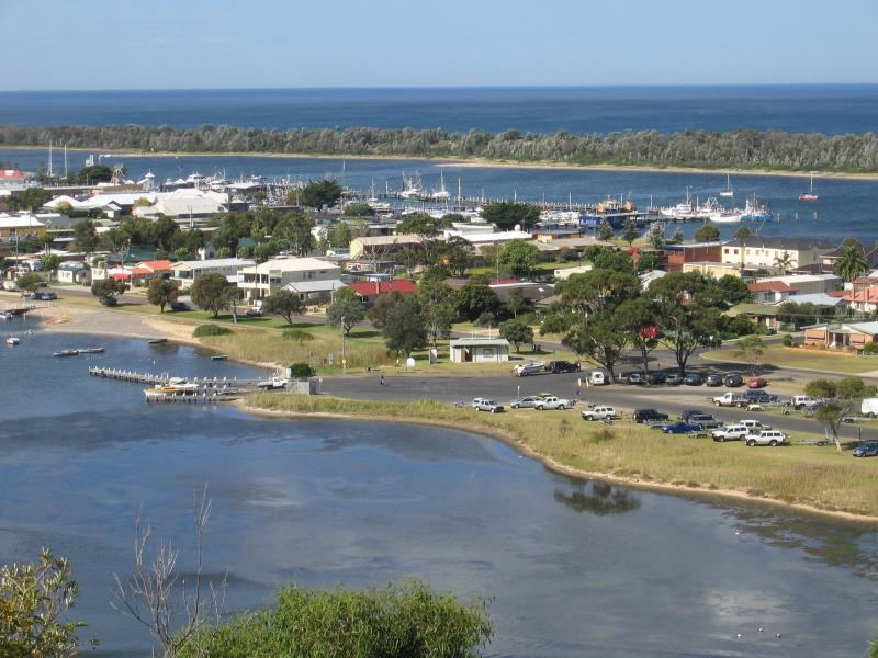 Views from Seaview Parade, Kalimna - View south-east across North Arm and Cunninghame Arm
 Views from Seaview Parade, Kalimna - View south-east across North Arm and Cunninghame Arm
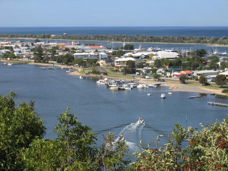
 Views from Seaview Parade, Kalimna - View east along North Arm
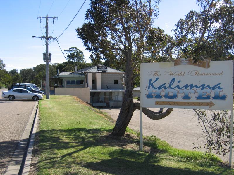 Kalimna Hotel and jetty - Kalimna Hotel car park, Hotel Rd
 Kalimna Hotel and jetty - Views south-west across Rigby Island from car park at Kalimna Hotel
 Kalimna Hotel and jetty - View south along Kalimna Jetty Rd towards jetty
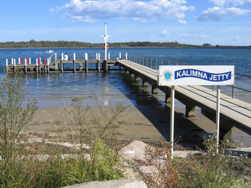 Kalimna Hotel and jetty - Kalimna Jetty
 Kalimna Hotel and jetty - View east along coast at Kalimna Jetty
 Kalimna Hotel and jetty - View east along coast towards Kalimna Jetty
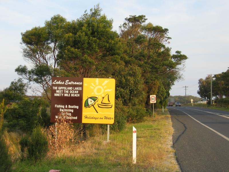 Outskirts of Lakes Entrance - Lakes Entrance tourist sign, Princes Hwy west of Lakes Entrance
 Outskirts of Lakes Entrance - View south-west along Princes Hwy towards Golf Links Rd
 Outskirts of Lakes Entrance - View north along Princes Hwy at Toorloo Arm
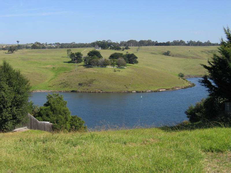
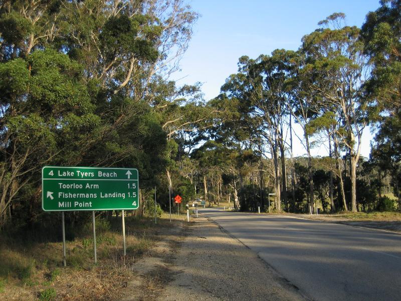 Lake Tyers - View south-east along Lake Tyers Rd towards Mill Point Rd
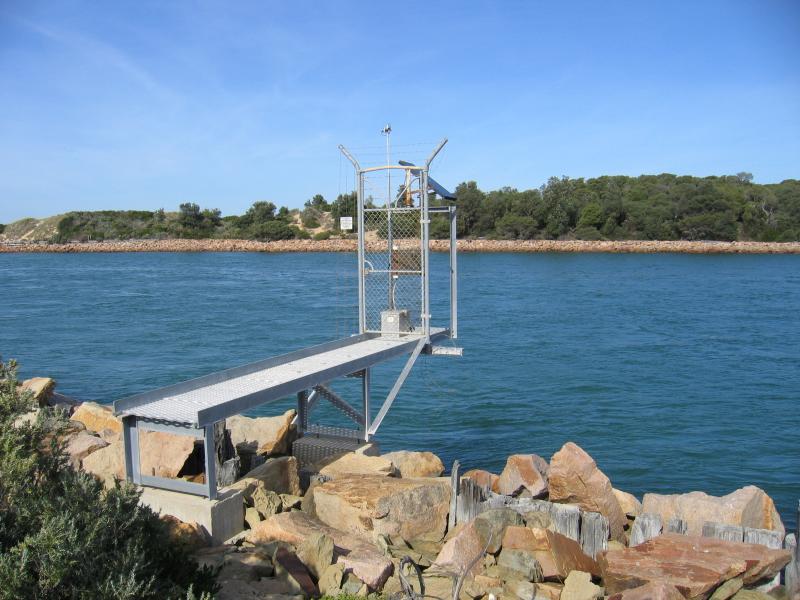
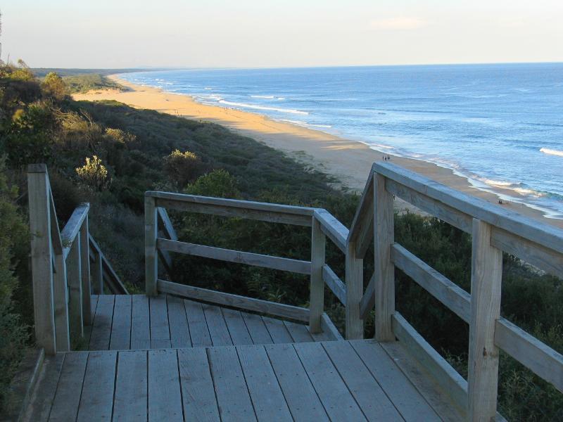 Lake Tyers - View east along coast from viewing platform, Beacon Reserve, south end of Bulmer St
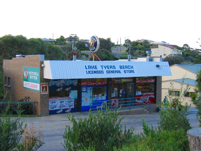 Lake Tyers - General store, view north across Lake Tyers Rd near eastern end
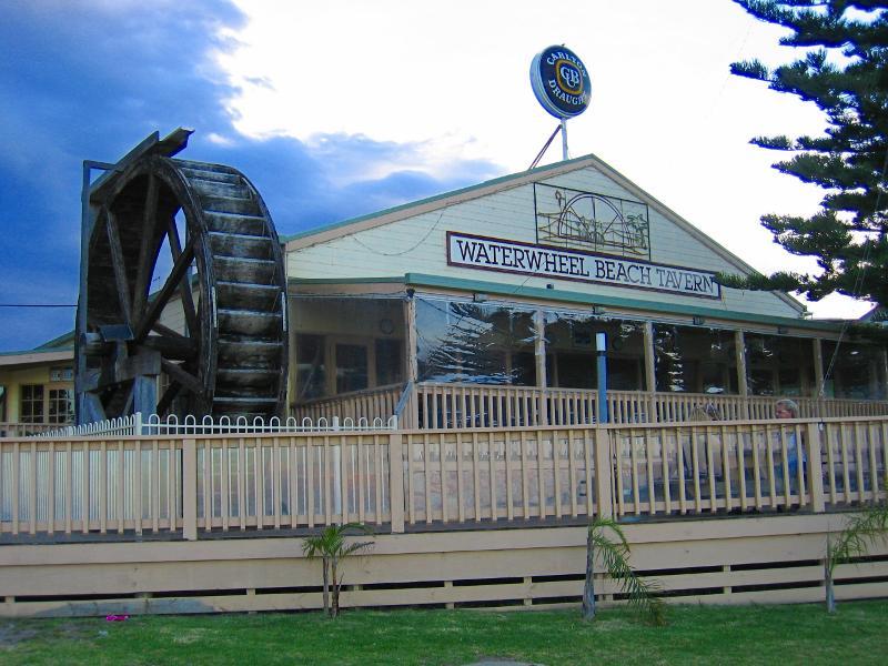 Lake Tyers - Waterwheel Beach Tavern, eastern end of Lake Tyers Rd
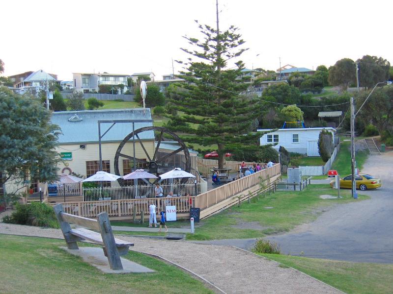 Lake Tyers - Northerly view towards Waterwheel Beach Tavern
 Lake Tyers - Northerly view across car park at Waterwheel Beach Tavern
 Lake Tyers - North-easterly view towards lake from Waterwheel Beach Tavern
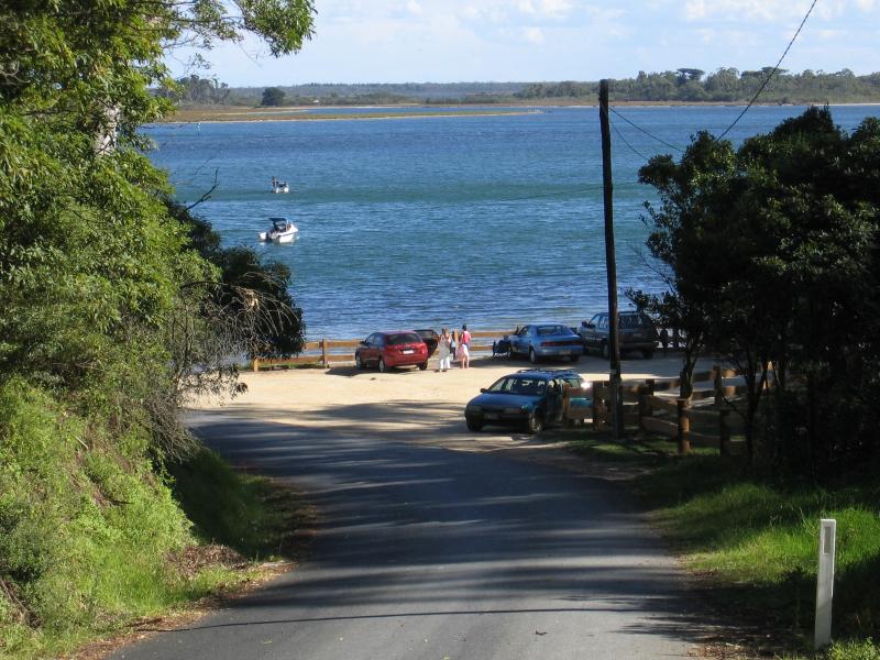
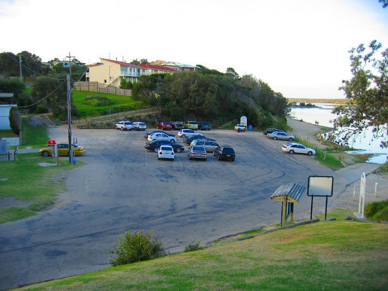
 Lake Tyers - Boat Ramp No.2, end of Lakeside Dr
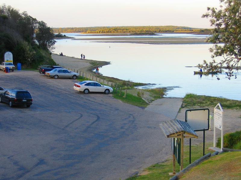
 Lake Tyers - View south-east along lake near Boat Ramp No.2
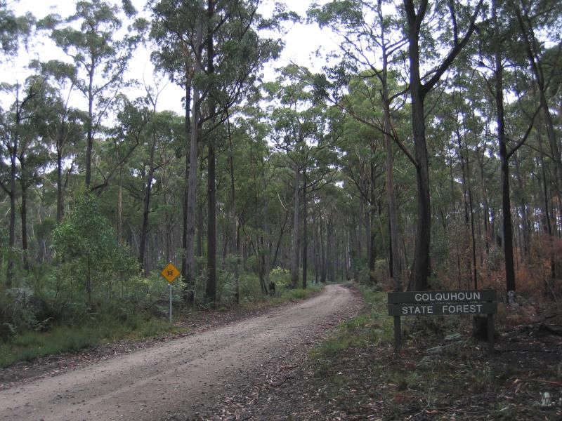 Stony Creek Trestle Bridge, Colquhoun Forest, off Princes Highway - Old Colquhoun Rd, near Princes Hwy through Colquhoun Forest
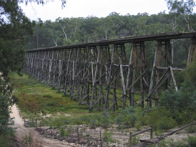 Stony Creek Trestle Bridge, Colquhoun Forest, off Princes Highway - Stony Creek Trestle Bridge