Lilydale - photos
Lilydale
Stay
See and do
Food and drink
Shopping
Getting around
Visitor information
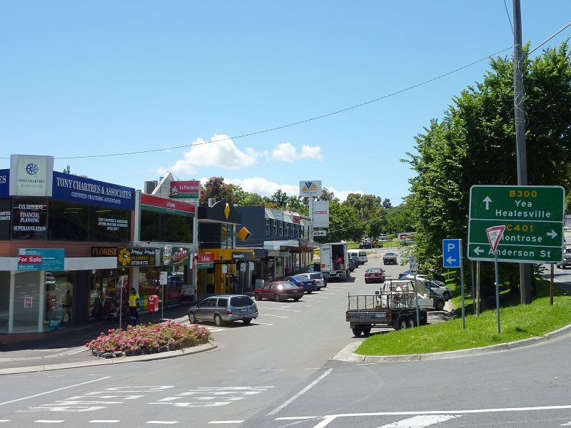
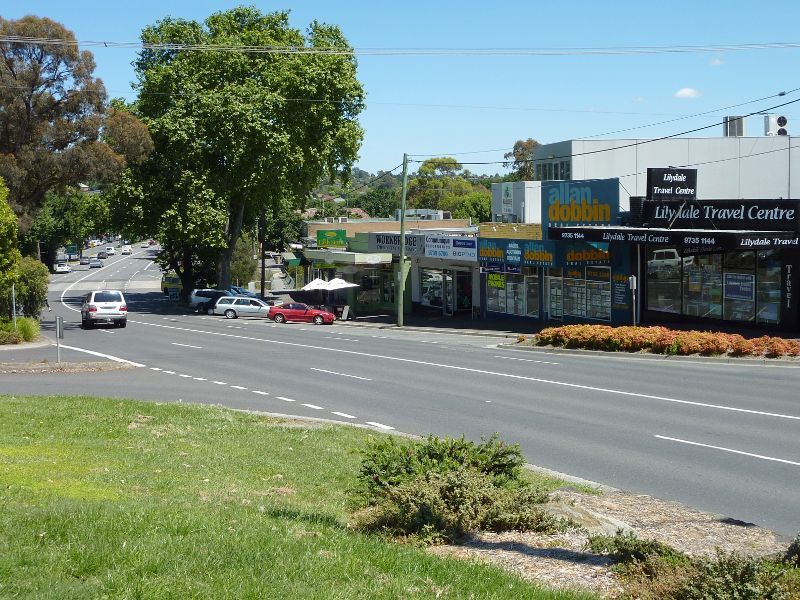
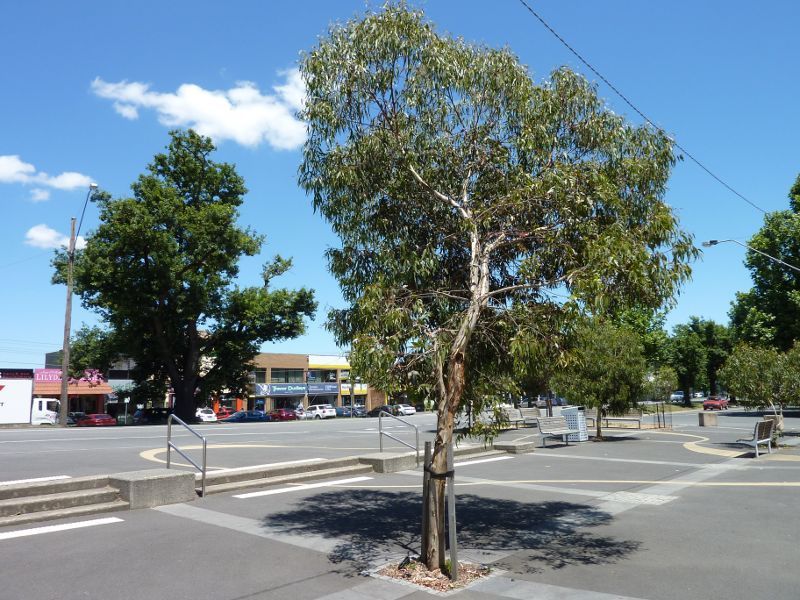
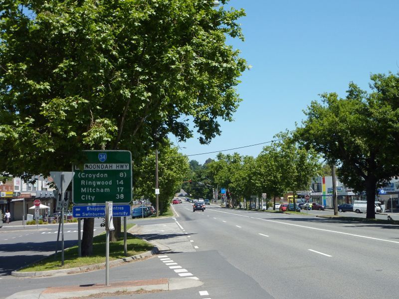
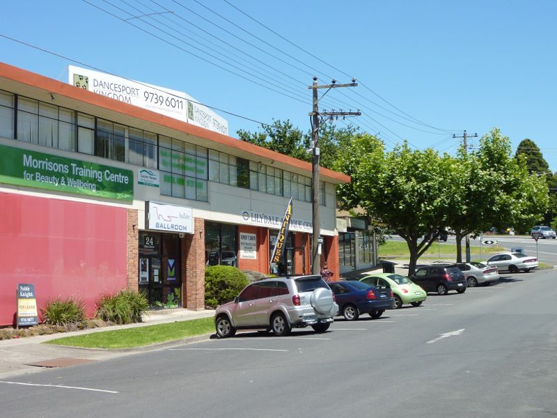
 Shops and commercial centre, Main Street - Southerly view across Main St at Anderson St
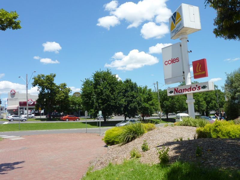
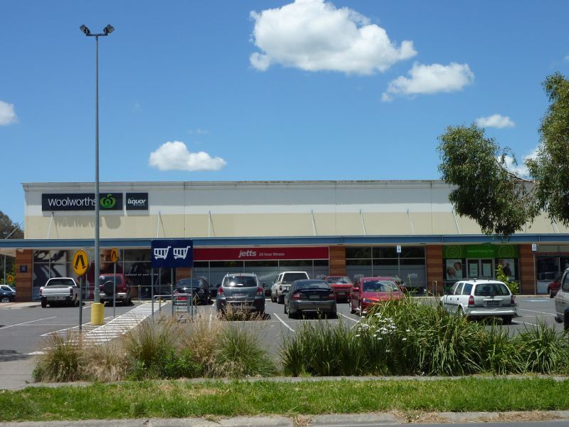
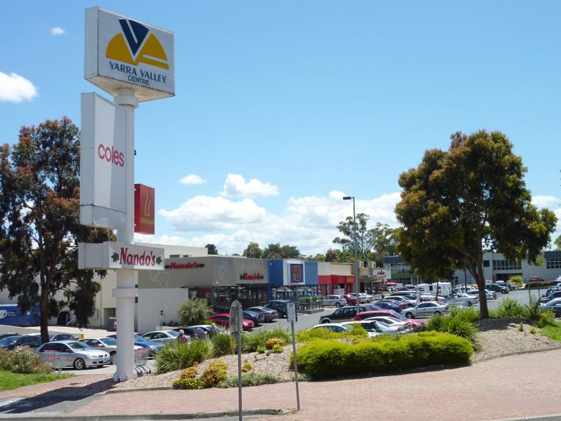 Shops and commercial centre, Main Street - Lilydale Village Shopping Centre, corner Main St and Anderson St
 Shops and commercial centre, Main Street - View east along Main St at Castella St
 Shops and commercial centre, Main Street - View west along Main St at Castella St
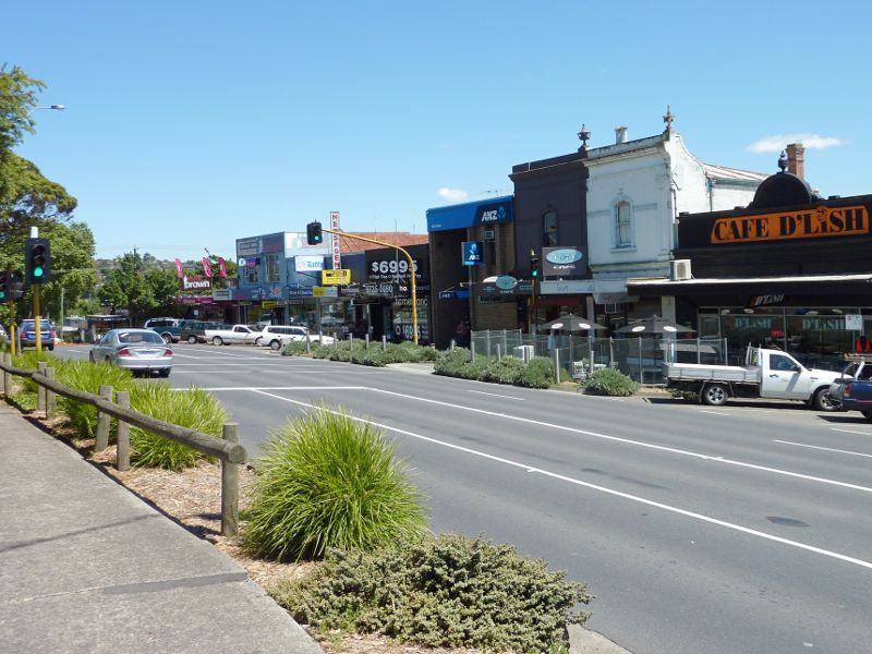
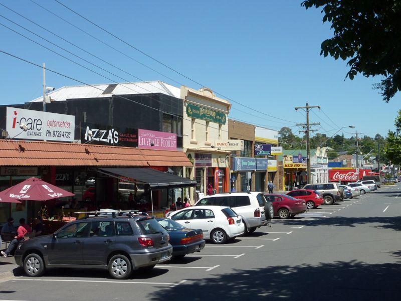
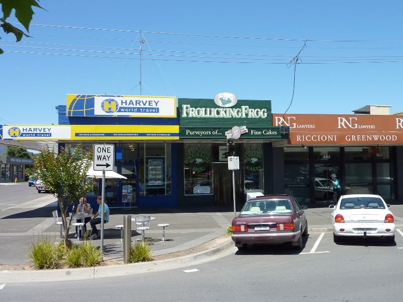
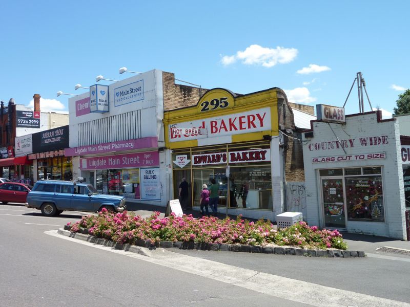 Shops and commercial centre, Main Street - Shops along north side of Main St west of Castella St
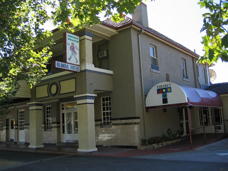
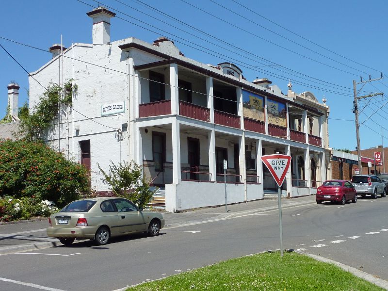 Shops and commercial centre, Main Street - Lilydale Hotel (Duke's Saloon), Main St opposite Castella St
 Shops and commercial centre, Main Street - View south across Main St towards Lilydale Hotel
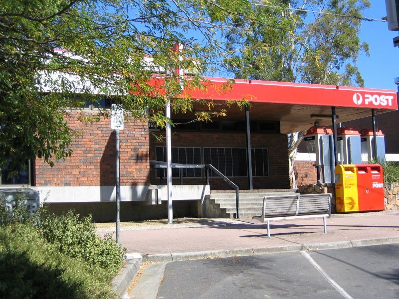 Shops and commercial centre, Main Street - Post office, south side of Main St east of Clarke St
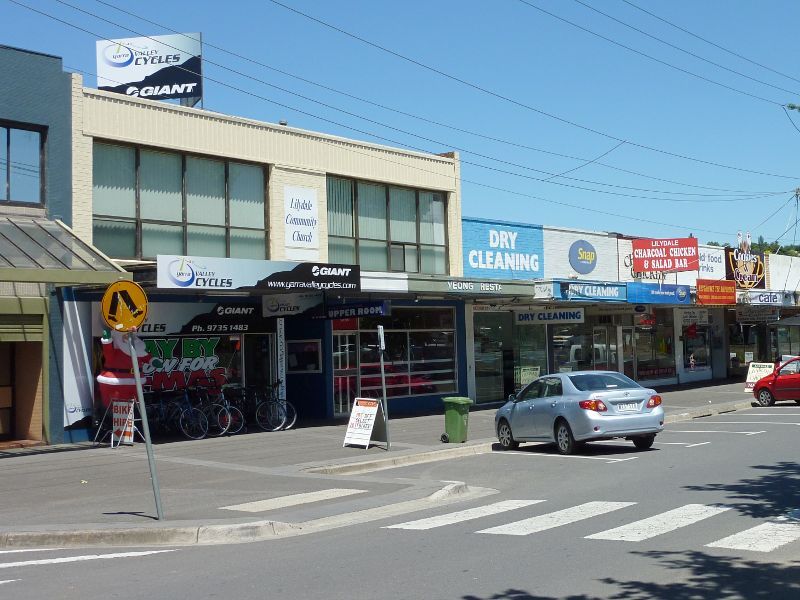
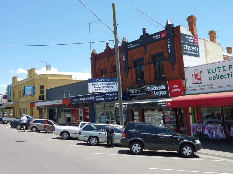 Shops and commercial centre, Main Street - Shops along north side of Main St between Clarke St and Castella St
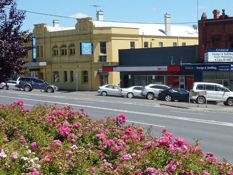 Shops and commercial centre, Main Street - View north across Main St towards Crown Hotel
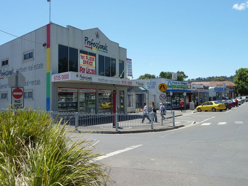
 Shops and commercial centre, Main Street - View west along Main St between Clarke St and Castella St
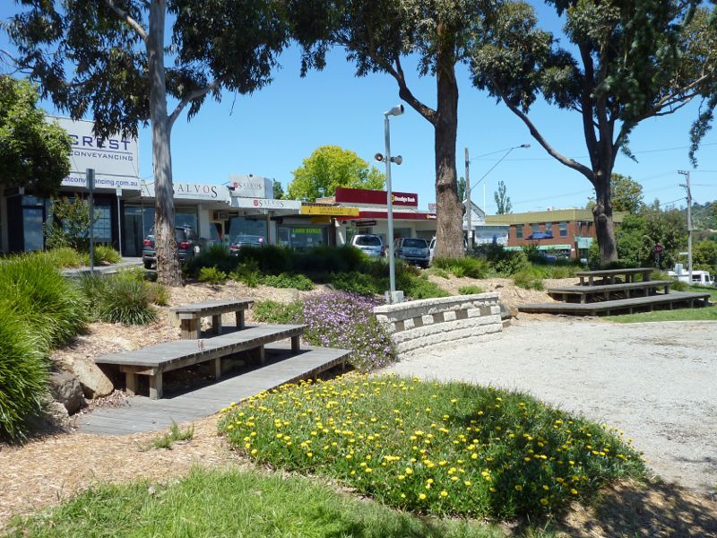 Shops and commercial centre, Main Street - Gardens at war memorial, Main St east of Clarke St
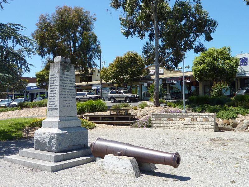 Shops and commercial centre, Main Street - War memorial, south side of Main St east of Clarke St
 Shops and commercial centre, Main Street - Westerly view through gardens at war memorial towards Clarke St
 Shops and commercial centre, Main Street - View south across Main St towards war memorial
 Shops and commercial centre, Main Street - View north across Main St east of Clarke St
 Shops and commercial centre, Main Street - View west along Main St at Clarke St
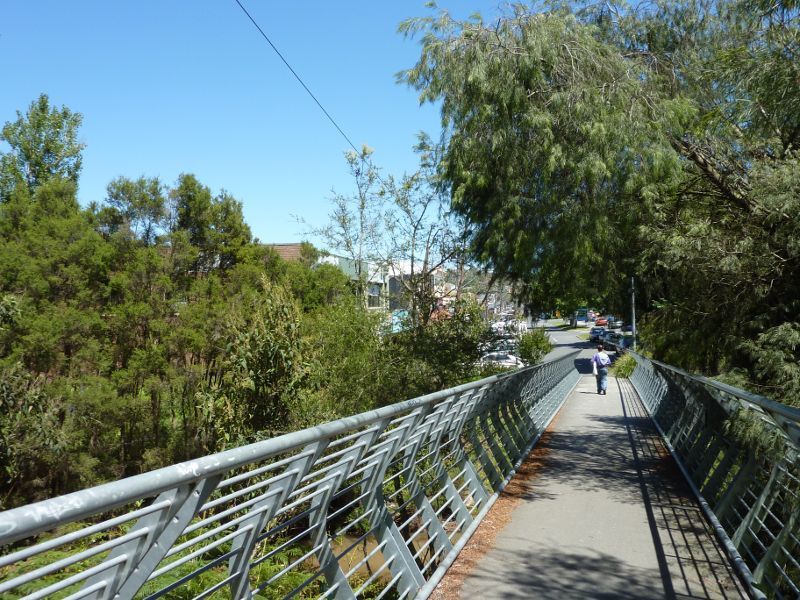 Shops and commercial centre, Main Street - View west along footbridge over Olinda Creek, south side of Main St
 Shops and commercial centre, Main Street - Footbridge over Olinda Creek, south side of Main St
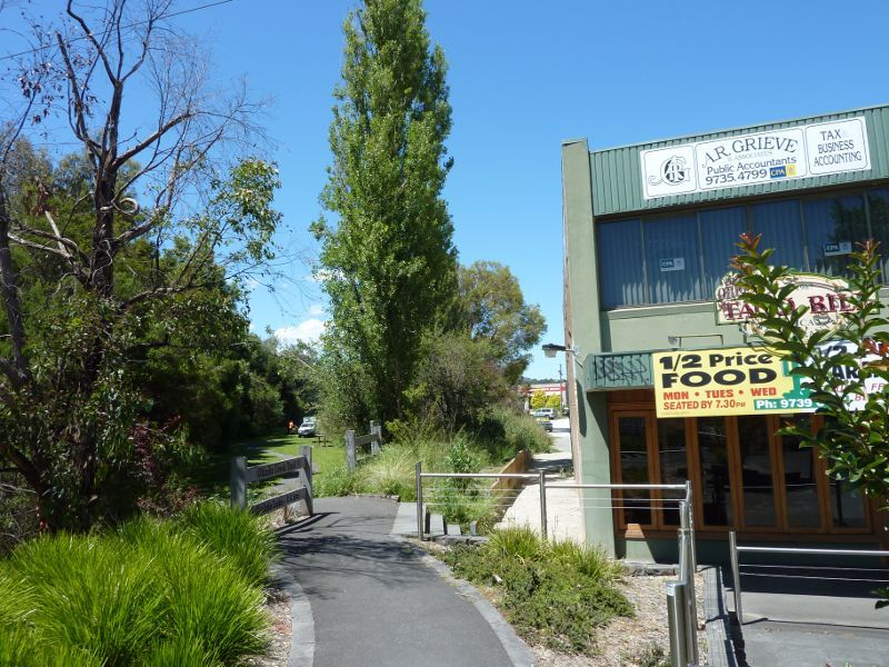 Shops and commercial centre, Main Street - View south along Olinda Creek Trail towards Lions Park, viewed from Main St
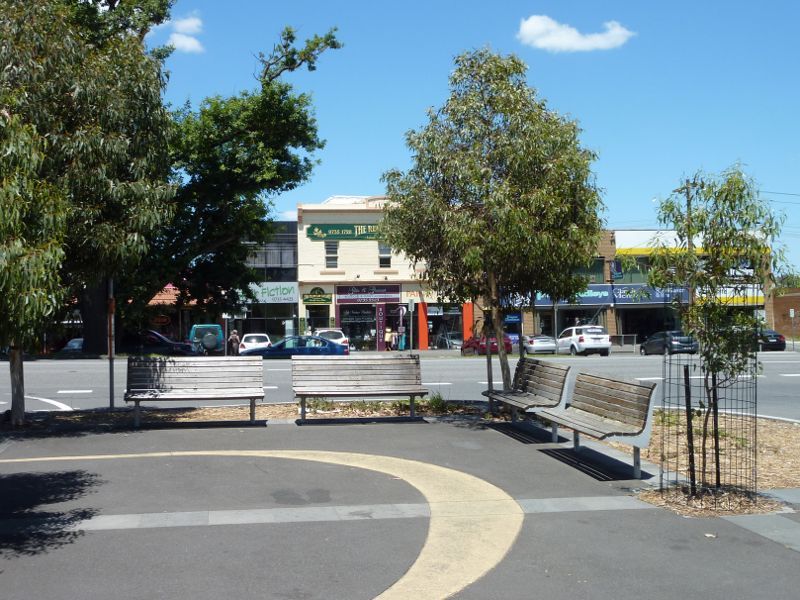
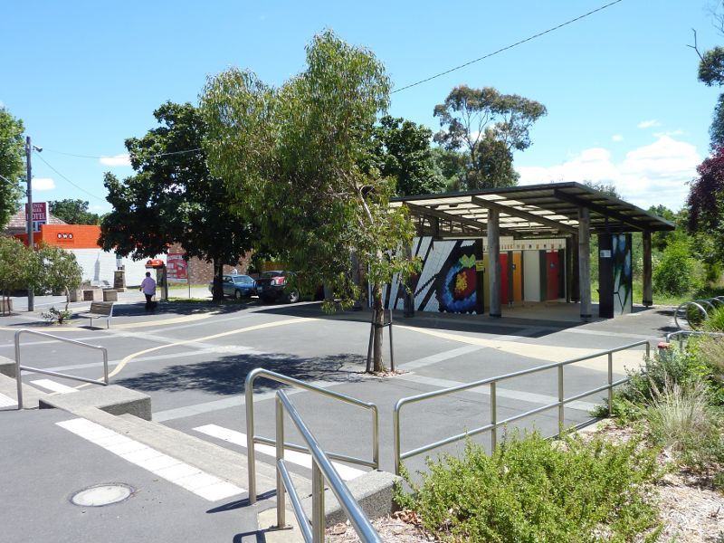 Shops and commercial centre, Main Street - Square fronting Main St at entrance to Lilydale Recreation Reserve
 Shops and commercial centre, Main Street - Westerly view through square on west side of Olinda Creek
 Shops and commercial centre, Main Street - View south across Main St from square on west side of Olinda Creek
 Shops and commercial centre, Main Street - Olinda Creek Hotel, north side of Main St
 Shops and commercial centre, Main Street - View west along Main St west of Olinda Creek
 Shops and commercial centre, Main Street - View west along Main St towards Hutchinson St
 Shops and commercial centre, Main Street - Corner of Main St and Hutchinson St
 Shops and commercial centre, Main Street - Shops along south side of Main St east of railway line
 Shops and commercial centre, Main Street - View east along Main St at railway line
 Shops and commercial centre, Main Street - View west along Main St towards Cave Hill Rd
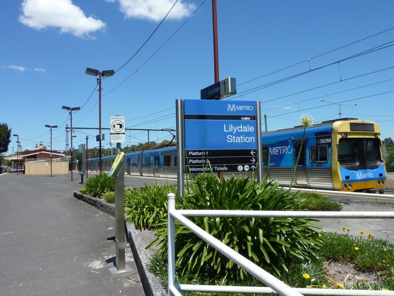 Lilydale railway station, Main Street - View south-west along station platform towards station building
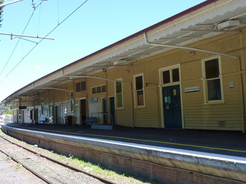 Lilydale railway station, Main Street - Station building
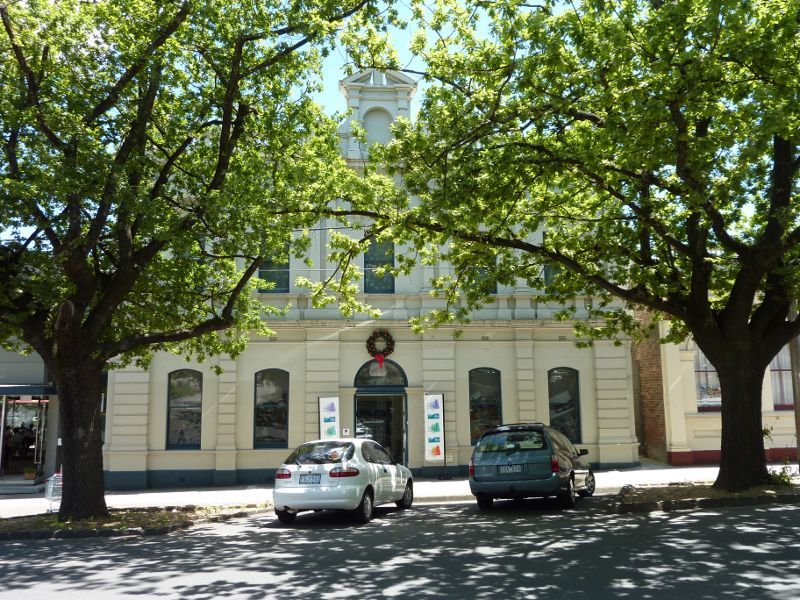
 Castella Street - View south along Castella St at Lilydale Village Shopping Centre
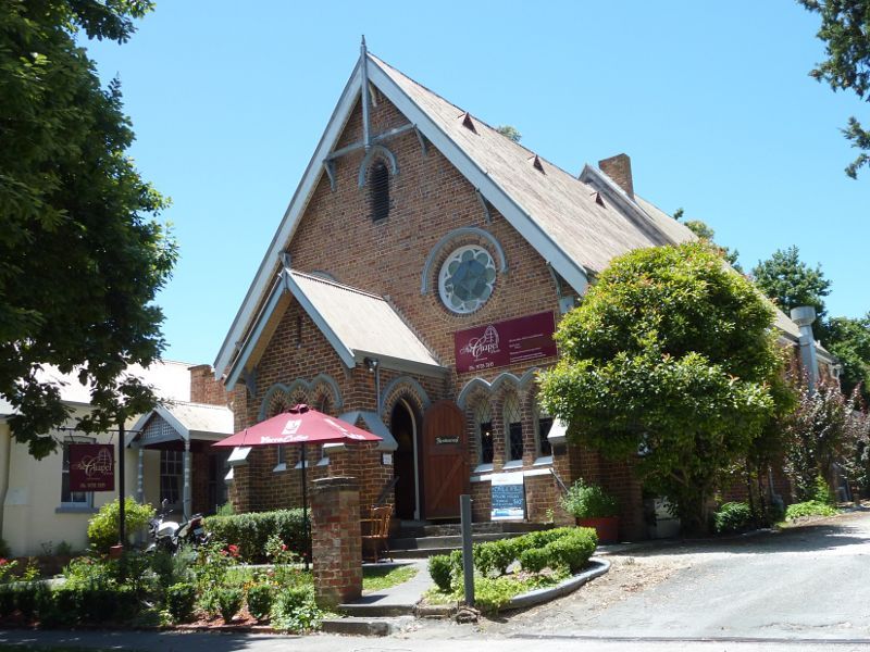 Castella Street - The Chapel (cafe and restaurant), east side of Castella St
 Castella Street - Yarra Ranges Regional Museum (former shire offices), west side of Castella St
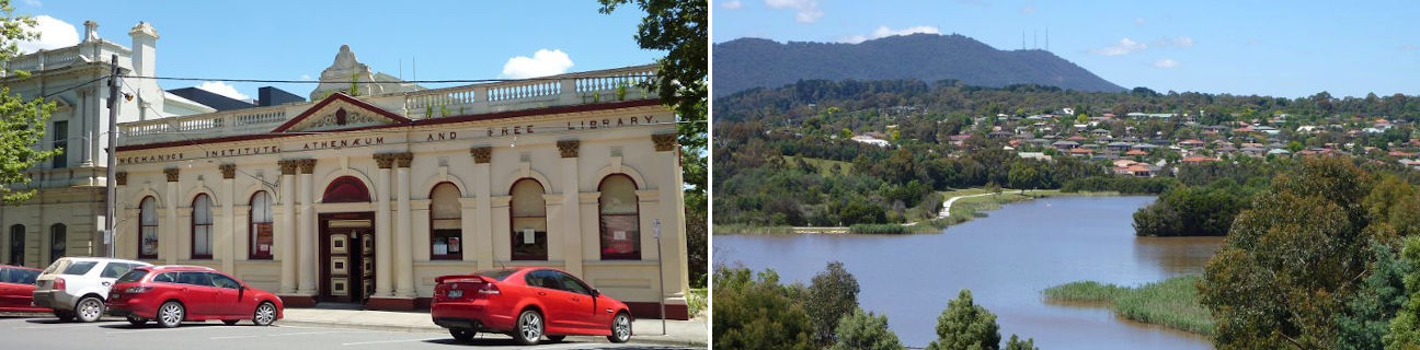
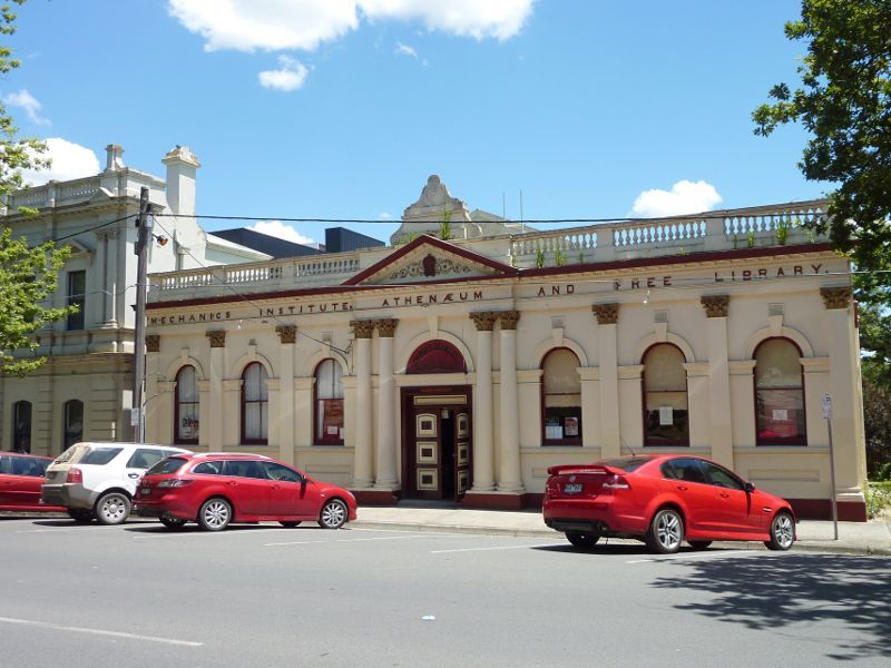 Castella Street - Athenaeum, west side of Castella St
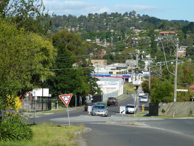 John Street - View east along John St towards Cave Hill Rd
 Lilydale Marketplace Shopping Centre, Hutchinson Street - Main entrance facing car park
 Lilydale Marketplace Shopping Centre, Hutchinson Street - View of shopping centre from Hutchinson St
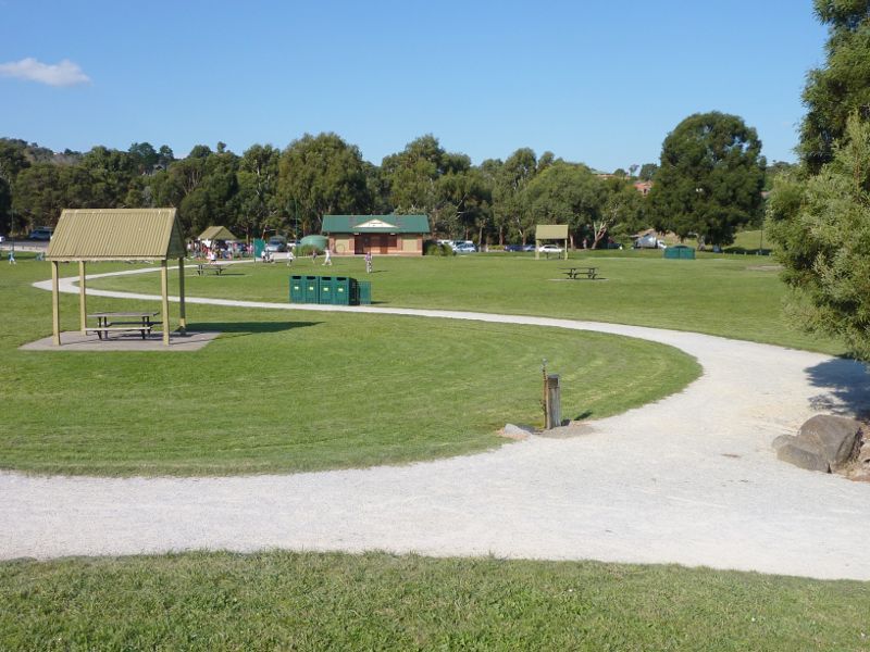
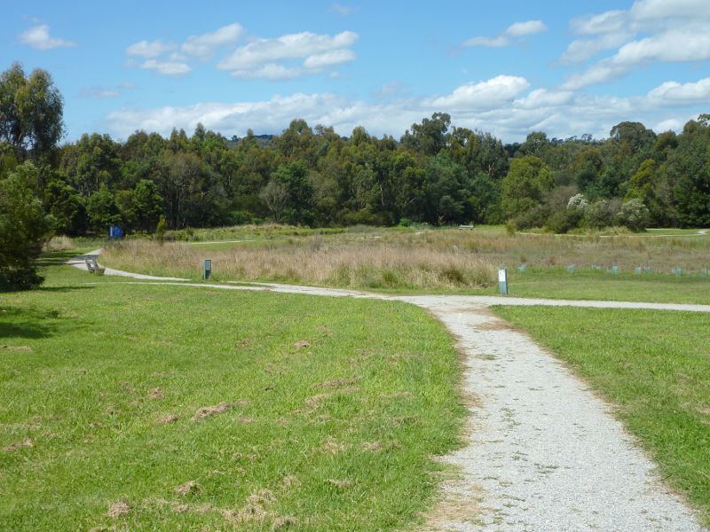
 Lilydale Recreation Reserve, off Main Street and Chapel Street - Northerly view through reserve from footbridge at Main St
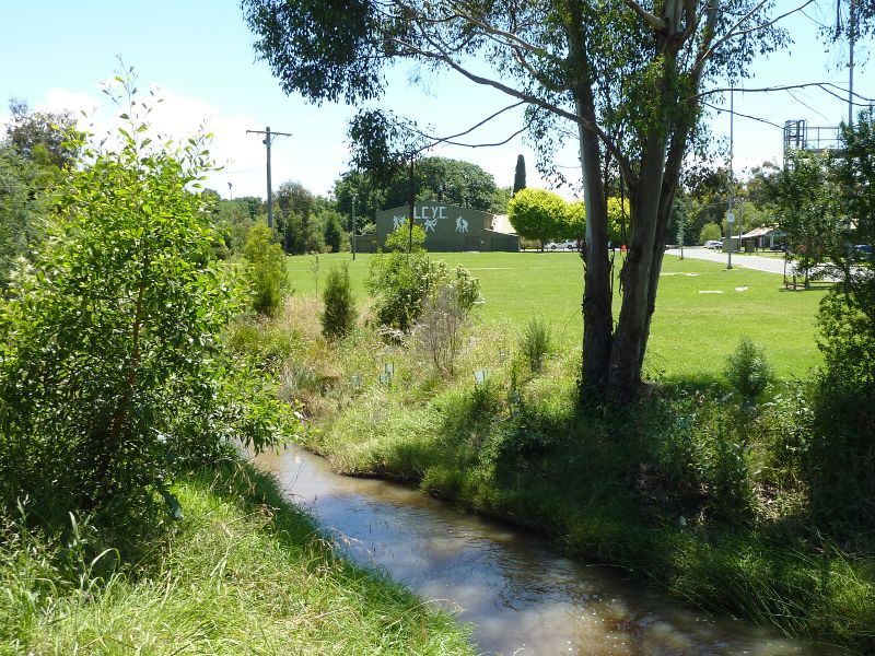
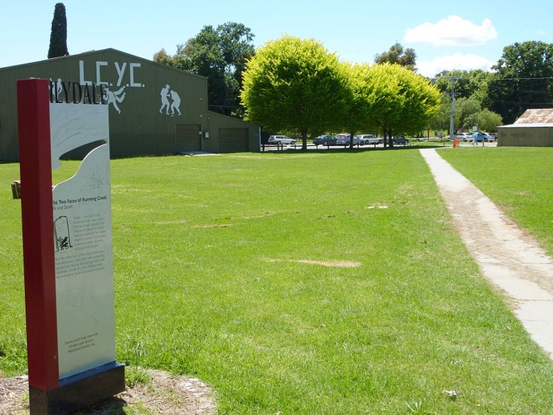 Lilydale Recreation Reserve, off Main Street and Chapel Street - View through reserve towards Lilydale Community Youth Club
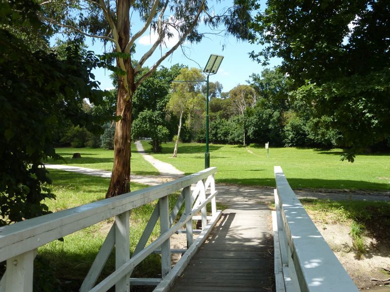
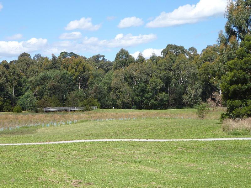
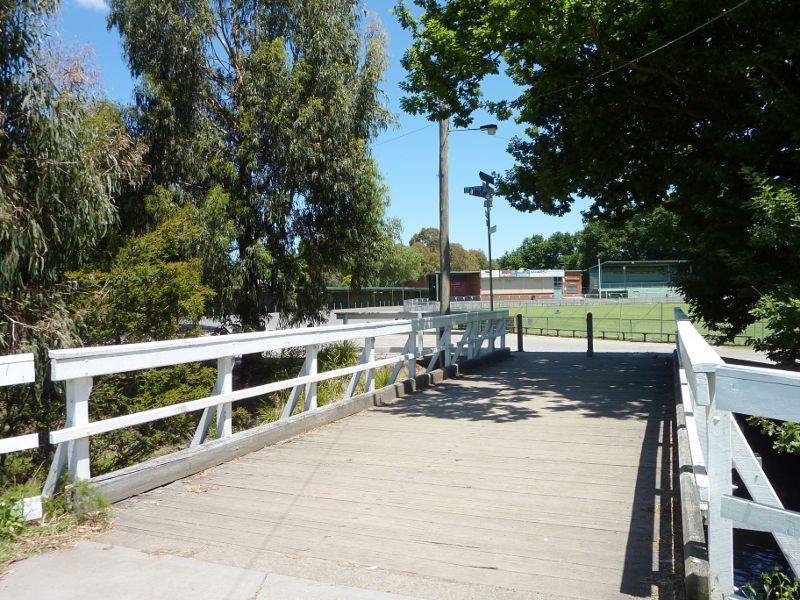 Lilydale Recreation Reserve, off Main Street and Chapel Street - View west across footbridge over Olinda Creek towards main oval
 Lilydale Recreation Reserve, off Main Street and Chapel Street - Southerly view along Olinda Creek from footbridge near main oval
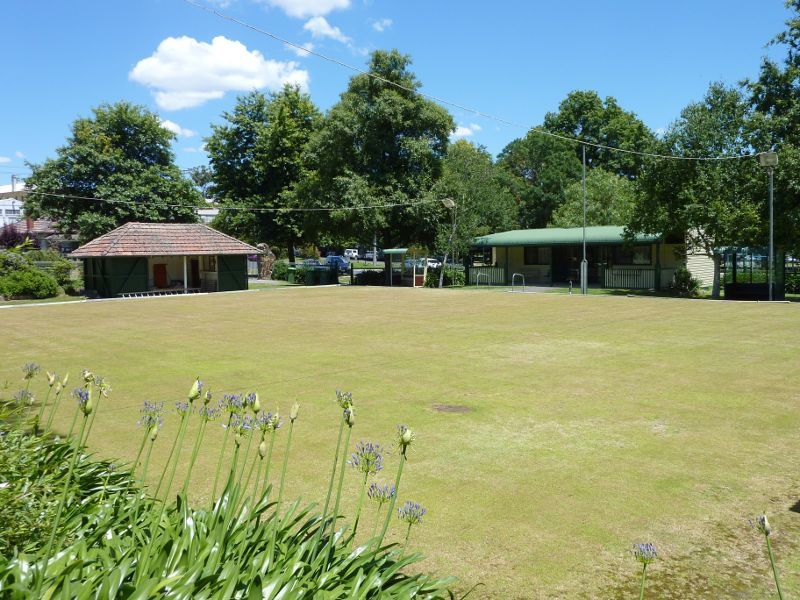
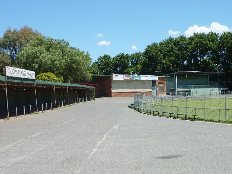 Lilydale Recreation Reserve, off Main Street and Chapel Street - John Plante Pavilion and main oval
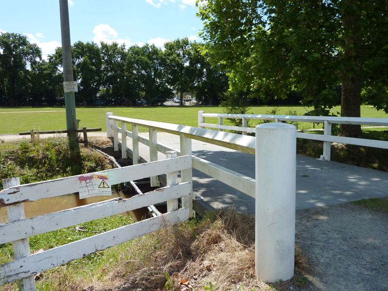 Lilydale Recreation Reserve, off Main Street and Chapel Street - View west along footbridge over Olinda Creek, west end of Chapel St
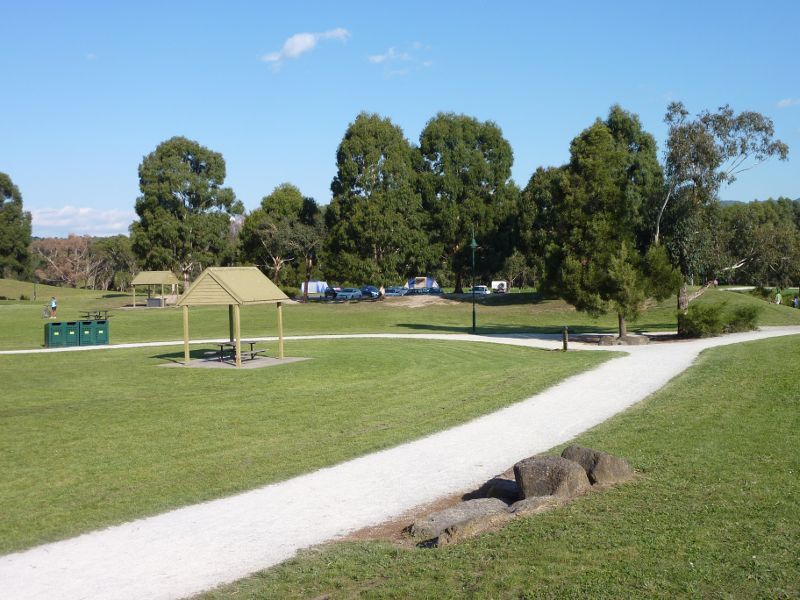
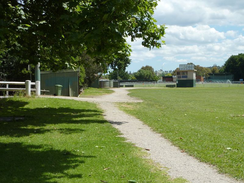 Lilydale Recreation Reserve, off Main Street and Chapel Street - Southerly view through reserve towards main oval
 Lilydale Recreation Reserve, off Main Street and Chapel Street - Footbridge across Olinda Creek near Jones St
 Lilydale Recreation Reserve, off Main Street and Chapel Street - Olinda Creek at footbridge near Jones St
 Lilydale Recreation Reserve, off Main Street and Chapel Street - View through reserve towards footbridge near Jones St
 Lilydale Recreation Reserve, off Main Street and Chapel Street - Southerly view through reserve near Jones St
 Lilydale Recreation Reserve, off Main Street and Chapel Street - North-easterly view through reserve towards Jones St
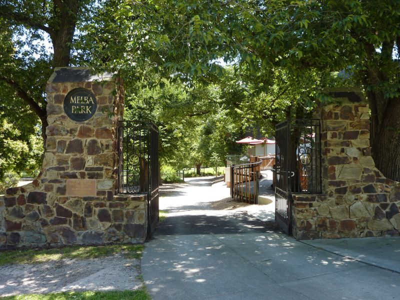 Melba Park, Castella Street - Entrance gates at corner of Castella St and Market St
 Melba Park, Castella Street - Cafe at Yarra Ranges Regional Museum overlooking the park
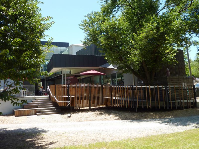 Melba Park, Castella Street - Cafe at Yarra Ranges Regional Museum
 Melba Park, Castella Street - Croquet club
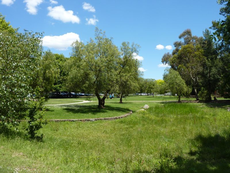
 Melba Park, Castella Street - View through park from near museum
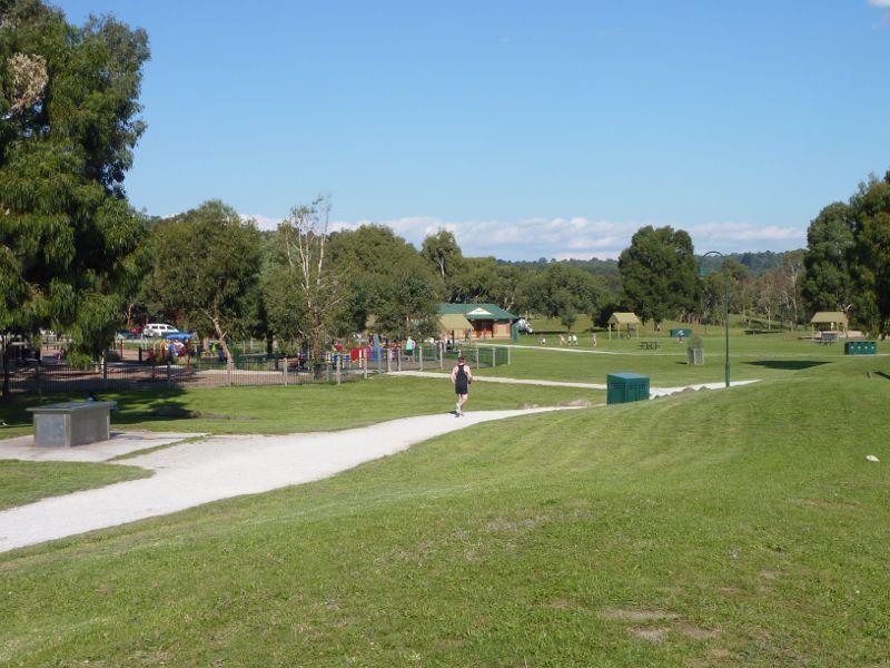
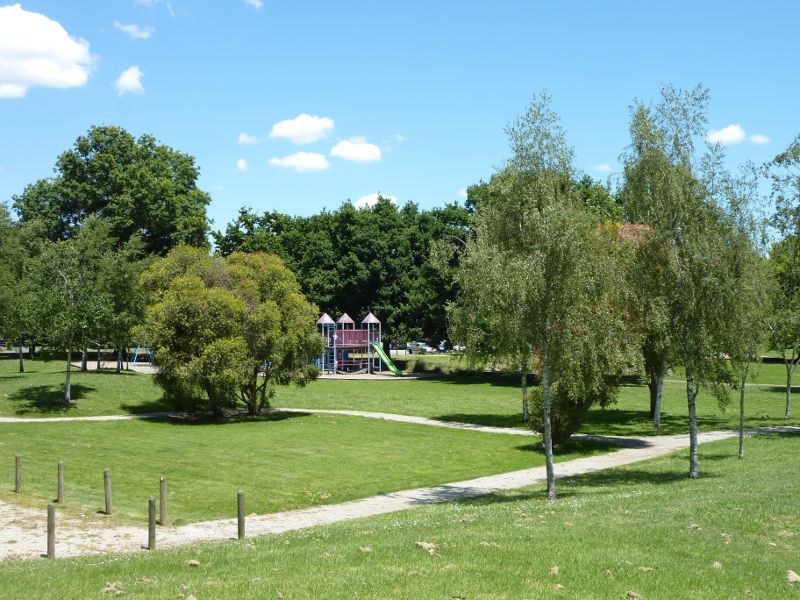 Melba Park, Castella Street - View through park towards playground
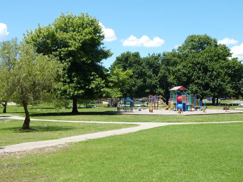 Melba Park, Castella Street - Playground
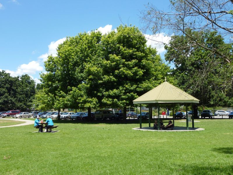
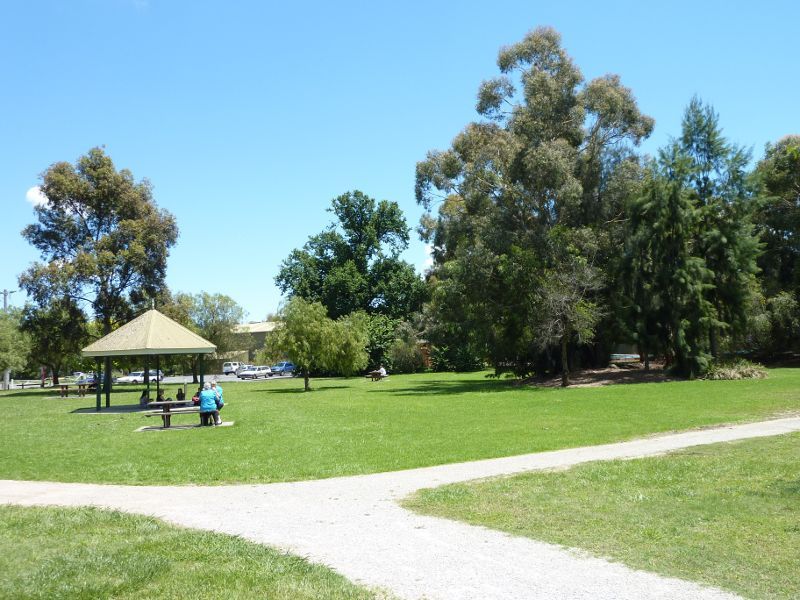 Melba Park, Castella Street - Lawns and rotunda
 Melba Park, Castella Street - Rotunda facing Market St
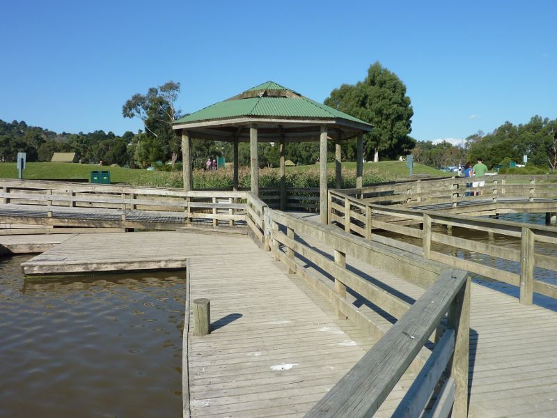
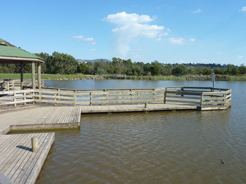
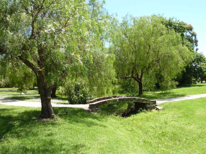 Melba Park, Castella Street - Footbridge
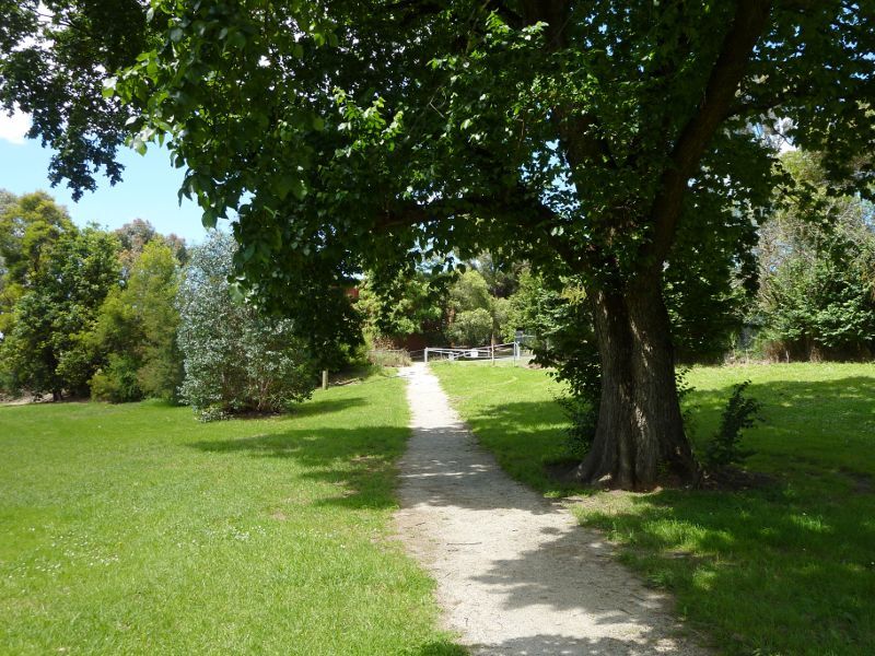
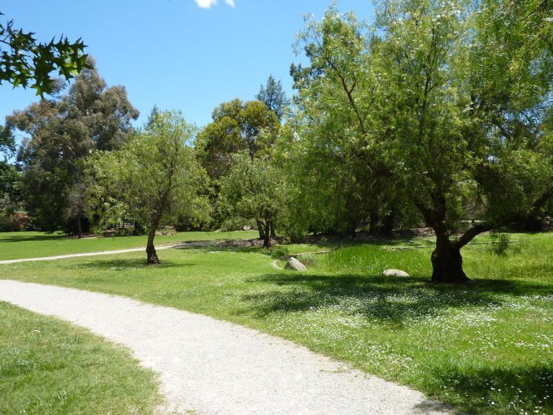 Melba Park, Castella Street - Path beside swamp
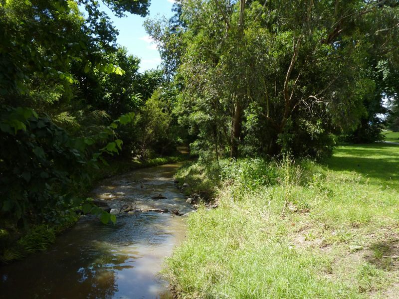
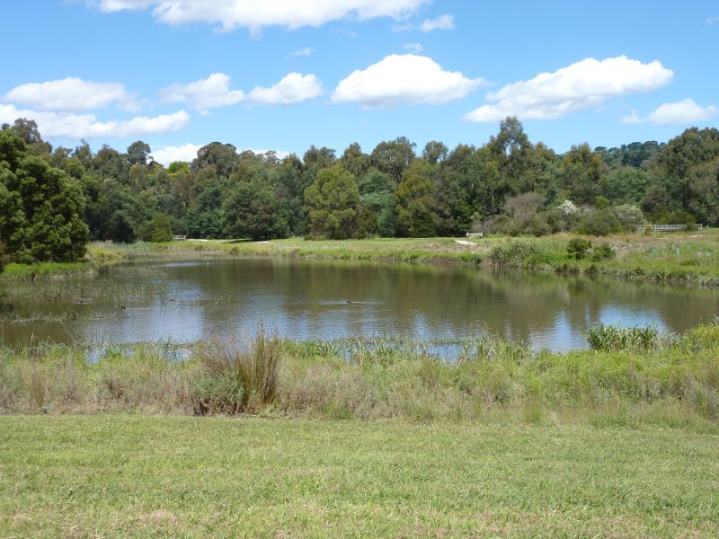
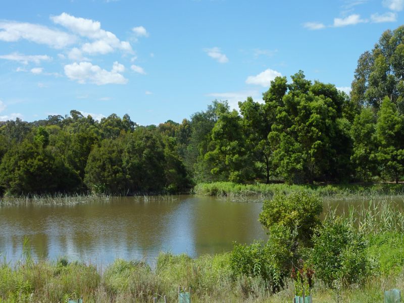
 Melba Park, Castella Street - Swamp
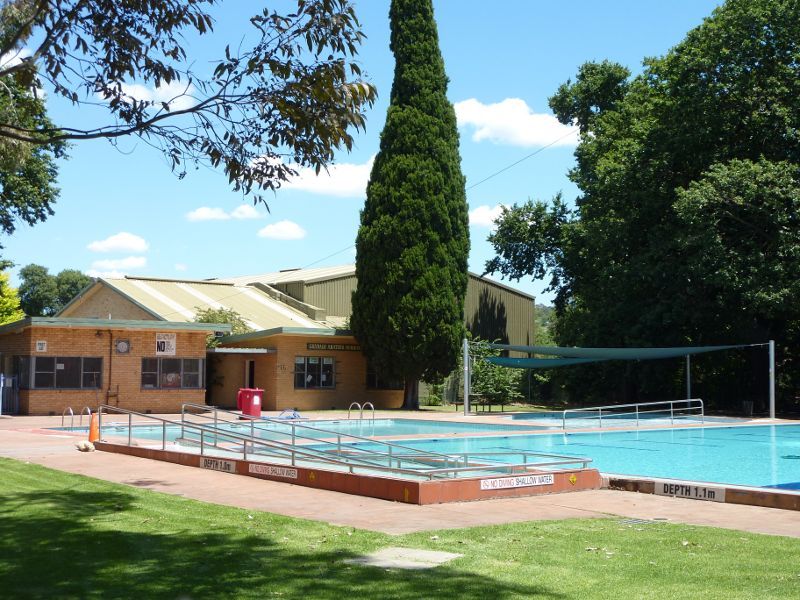 Melba Park, Castella Street - Pool
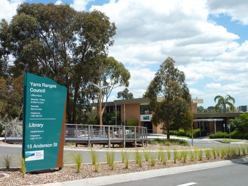 Yarra Ranges Council offices, Anderson Street - Entrance at Anderson St
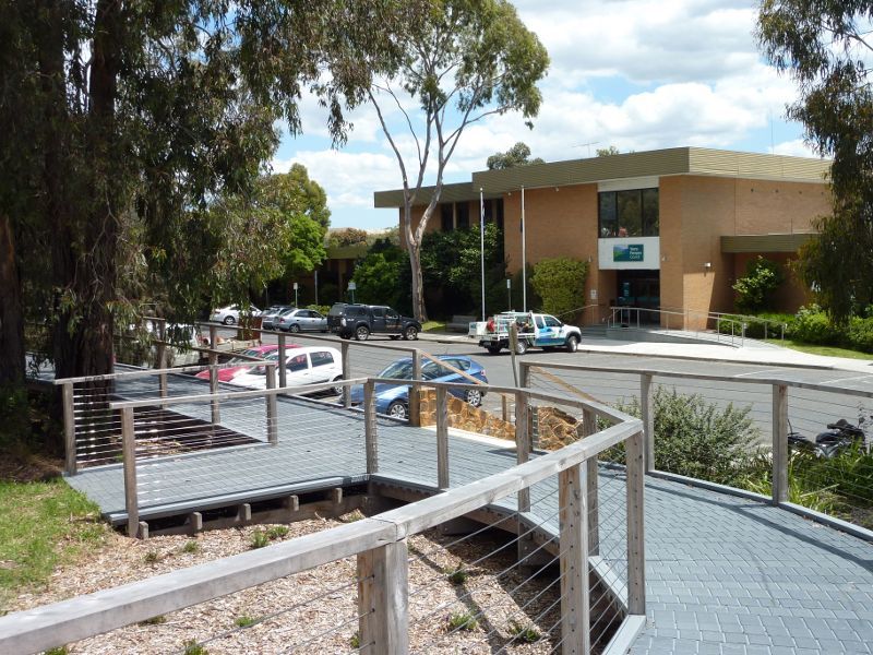 Yarra Ranges Council offices, Anderson Street - View towards offices from pathway along Anderson St
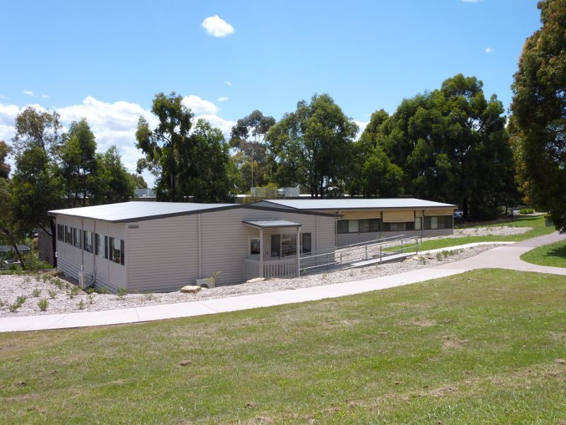 Yarra Ranges Council offices, Anderson Street - Offices at southern end
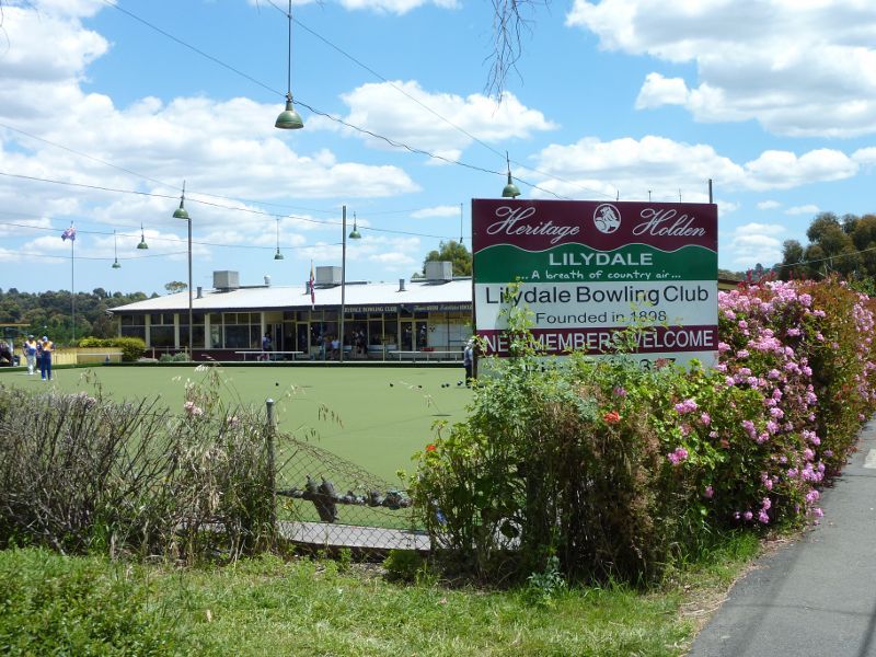 Eyrefield Park, Hardy Street - Lawn bowls viewed from Hardy St
 Eyrefield Park, Hardy Street - View west along Hardy St towards Clarke St
 Eyrefield Park, Hardy Street - View south through park from Hardy St near Olinda Creek
 Eyrefield Park, Hardy Street - Southerly view along pathway beside Olinda Creek
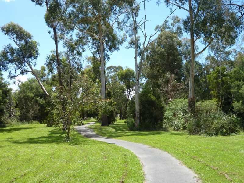 Eyrefield Park, Hardy Street - Pathway beside Olinda Creek
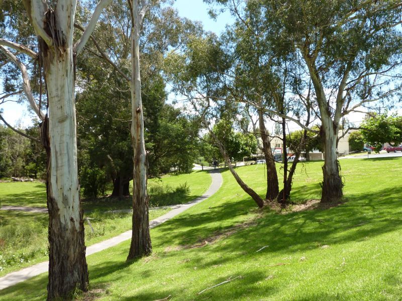 Eyrefield Park, Hardy Street - Northerly view through park towards Hardy St
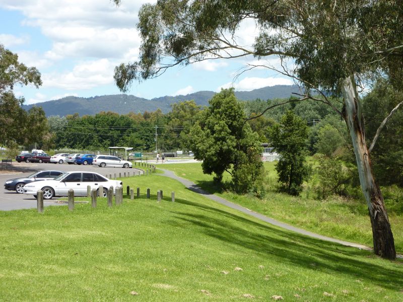 Eyrefield Park, Hardy Street - Car park near skate ramp
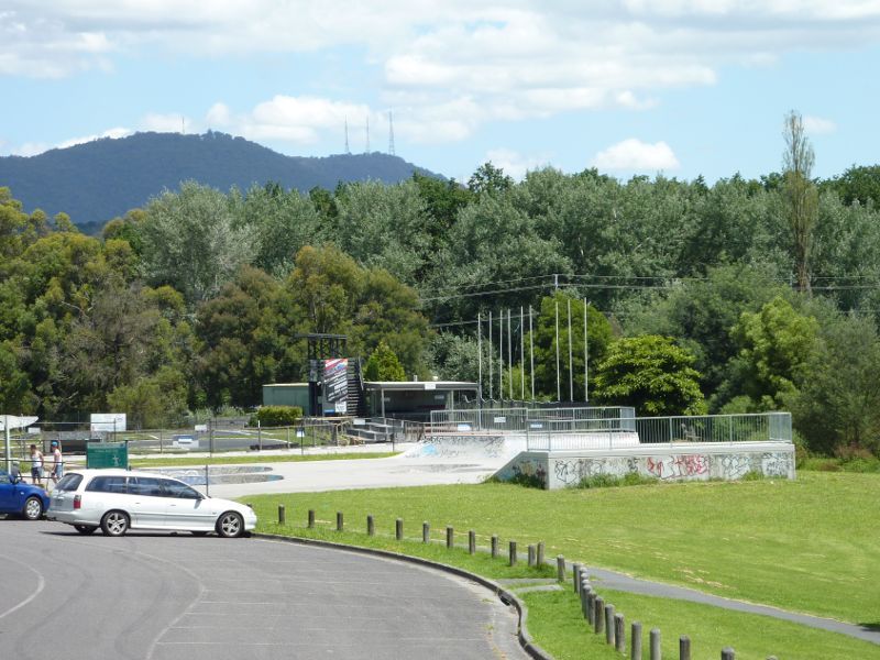 Eyrefield Park, Hardy Street - Skate ramp
 Eyrefield Park, Hardy Street - View towards tennis courts and skate ramp
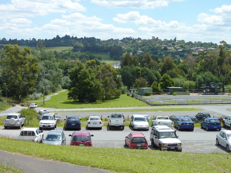 Eyrefield Park, Hardy Street - Westerly view over car park towards model car racing track
 Swansea Road - View north along Swansea Rd towards Hereford Rd
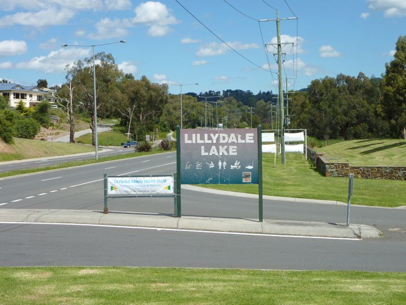
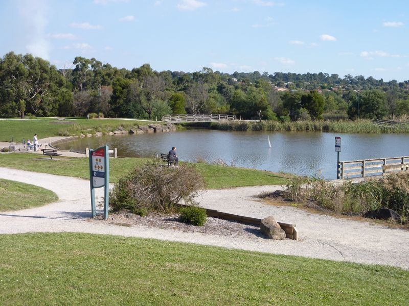
 Swansea Road - View south along Swansea Rd towards Lillydale Lake Park main entrance
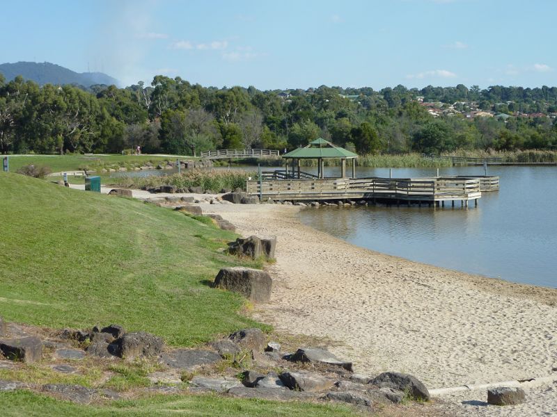
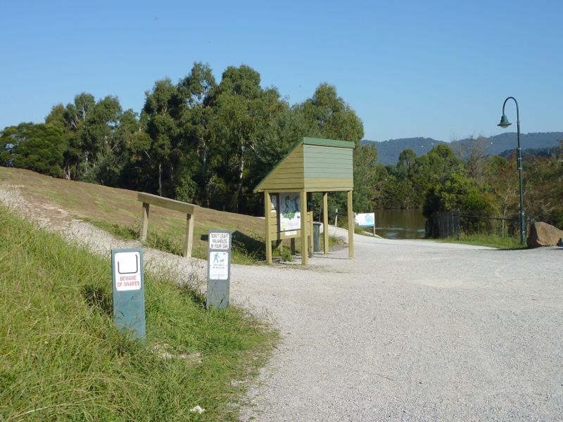
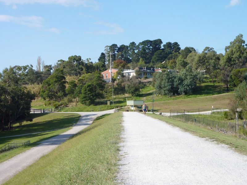
 Lillydale Lake Park, Swansea Road - Main entrance to Lillydale Lake Park, Swansea Rd
 Lillydale Lake Park, Swansea Road - Lawns fronting Swansea Rd at main entrance
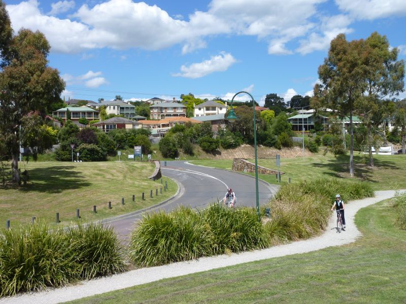 Lillydale Lake Park, Swansea Road - Easterly view towards main entrance at Swansea Rd
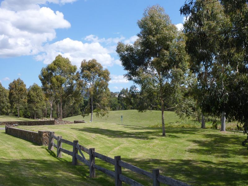
 Lillydale Lake Park, Swansea Road - Parkland along Swansea Rd south of main entrance
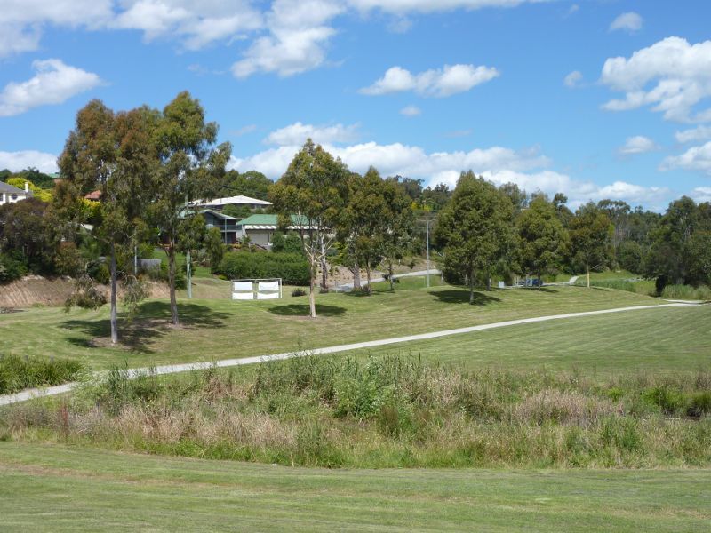
 Lillydale Lake Park, Swansea Road - Bicentennial Park Lawn and picnic shelters
 Lillydale Lake Park, Swansea Road - Picnic shelters at Bicentennial Park Lawn
 Lillydale Lake Park, Swansea Road - Playground and BBQ, Bicentennial Park Lawn
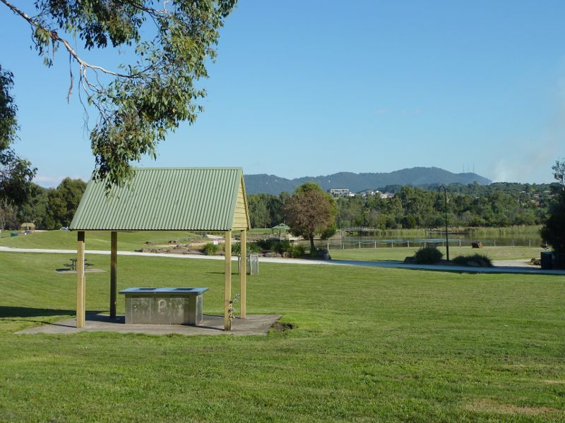 Lillydale Lake Park, Swansea Road - BBQ shelter, Community Room Lawn
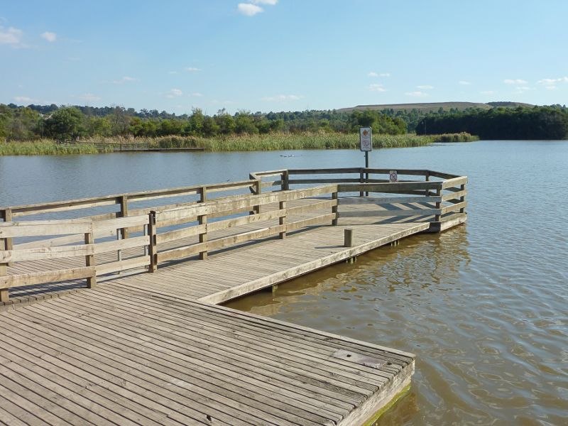
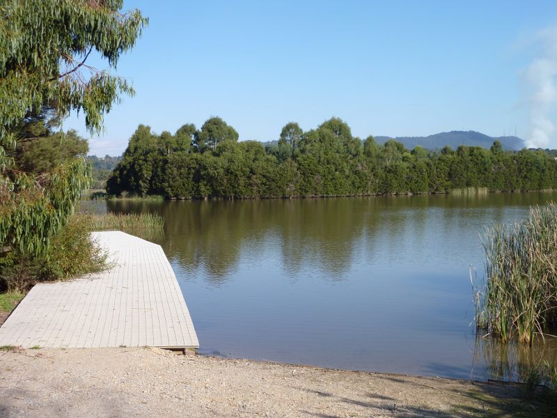
 Lillydale Lake Park, Swansea Road - Southerly view from jetty towards boat ramp
 Lillydale Lake Park, Swansea Road - View from jetty towards Bicentennial Park Lawn
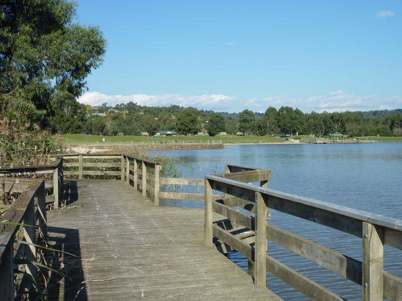
 Lillydale Lake Park, Swansea Road - View along jetty back towards shore
 Lillydale Lake Park, Swansea Road - Southerly view across jetty
 Lillydale Lake Park, Swansea Road - End of jetty
 Lillydale Lake Park, Swansea Road - View of Southern Beach from jetty
 Lillydale Lake Park, Swansea Road - South-westerly view across lake at entrance to jetty
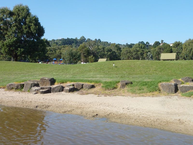
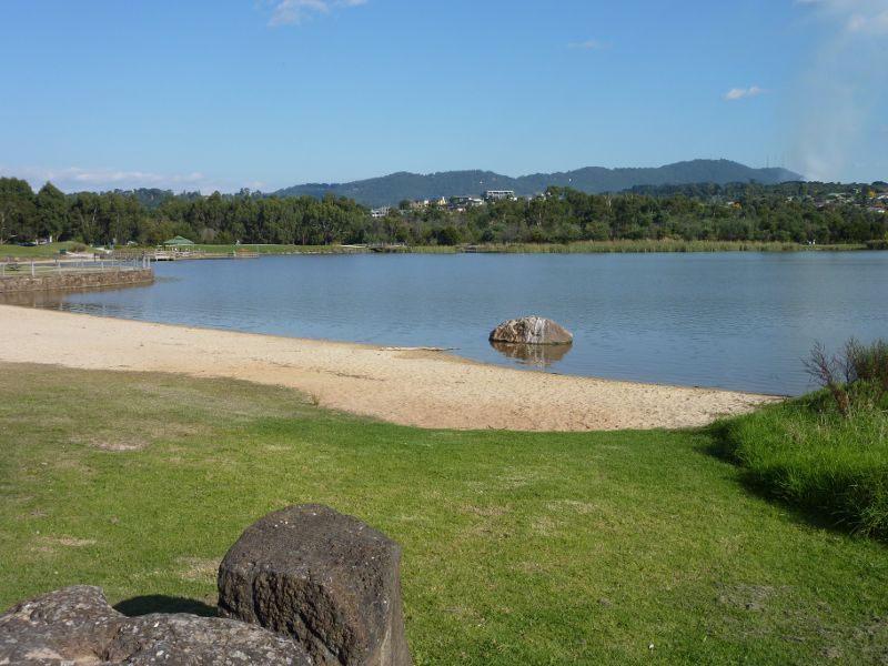
 Lillydale Lake Park, Swansea Road - Southerly view along Southern Beach towards jetty
 Lillydale Lake Park, Swansea Road - Southerly view over Southern Beach towards jetty
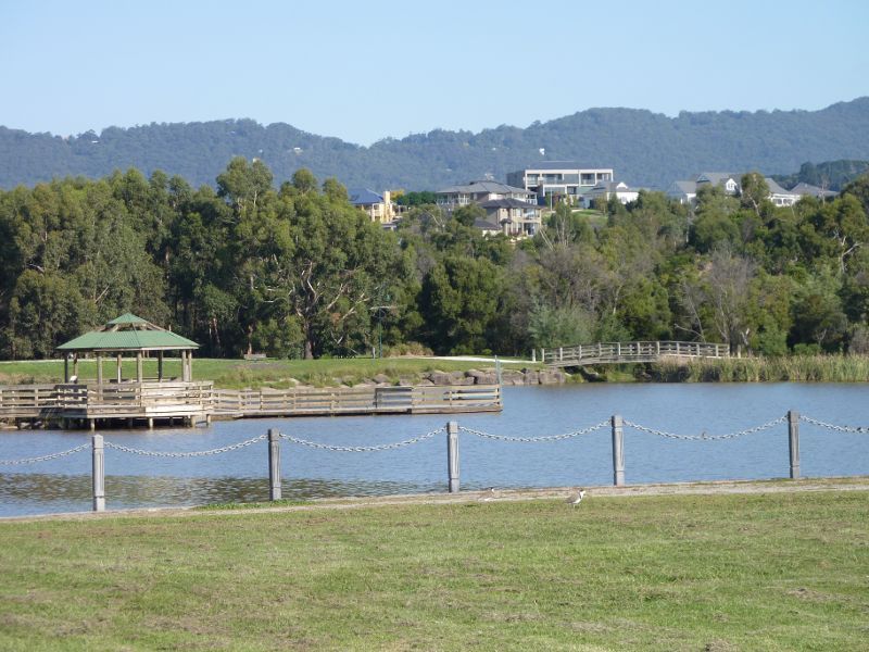 Lillydale Lake Park, Swansea Road - Southerly view across Lake towards jetty from Promenade
 Lillydale Lake Park, Swansea Road - View from Northern Beach towards Promenade
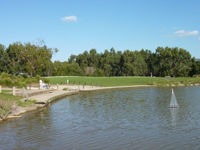
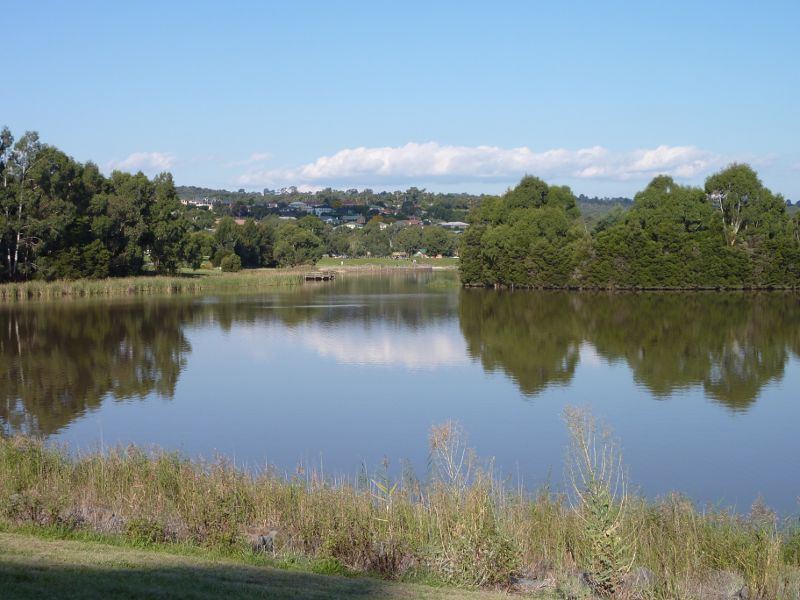
 Lillydale Lake Park, Swansea Road - Southerly view across lake from Northern Beach
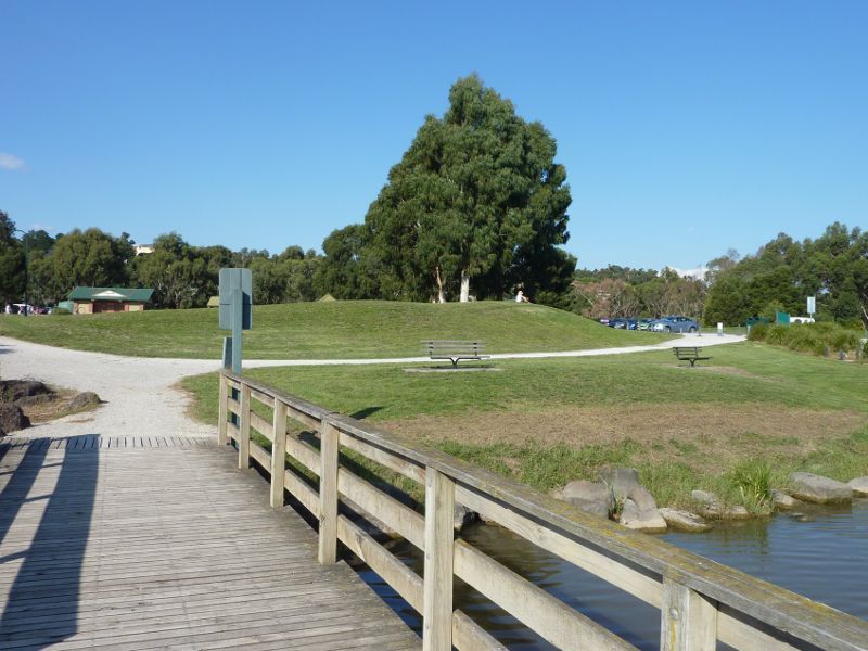
 Lillydale Lake Park, Swansea Road - View across lake from boardwalk west of Northern Beach
 Lillydale Lake Park, Swansea Road - South-easterly view along lake from boardwalk west of Northern Beach
 Lillydale Lake Park, Swansea Road - Lookout
 Lillydale Lake Park, Swansea Road - Easterly view at lookout
 Lillydale Lake Park, Swansea Road - South-easterly view at lookout
 Lillydale Lake Park, Swansea Road - Southerly view across lake at lookout
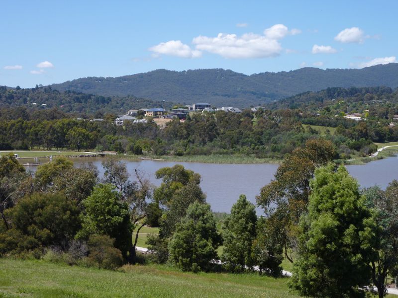
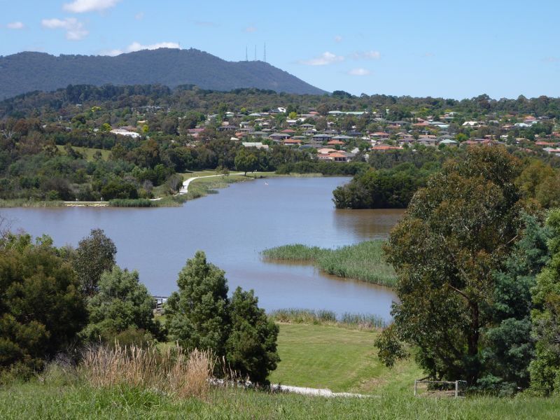
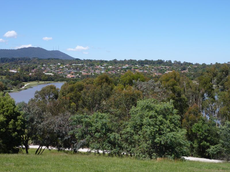
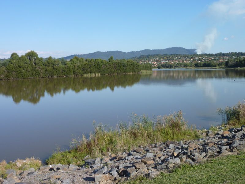
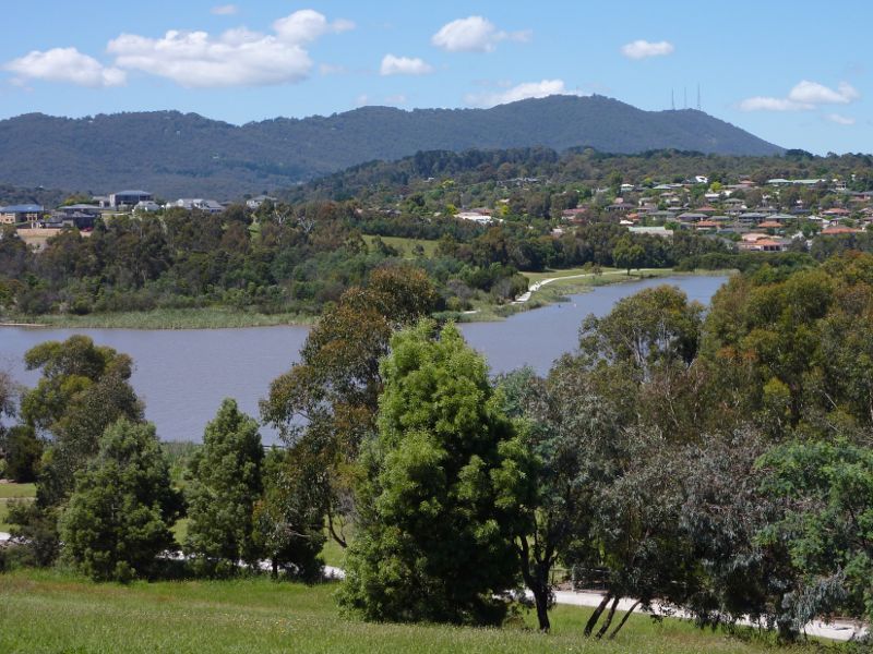 Lillydale Lake Park, Swansea Road - Southerly view across lake towards Mt Dandenong at lookout
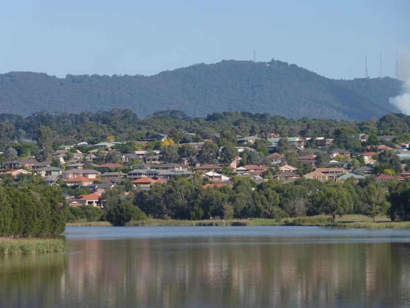
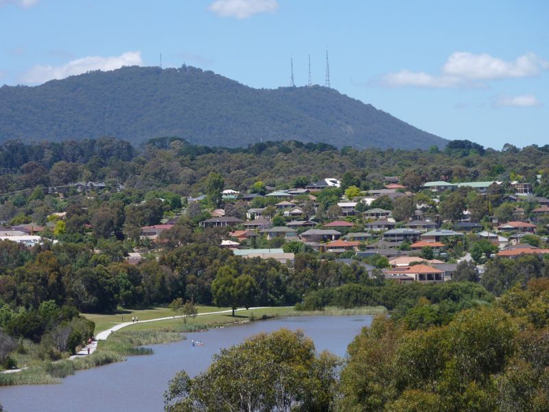 Lillydale Lake Park, Swansea Road - Southerly view across lake towards Mt Dandenong at lookout
 Lillydale Lake Park, Swansea Road - South-westerly view across lake towards Mt Dandenong at lookout
 Lillydale Lake Park, Swansea Road - South-westerly view at lookout
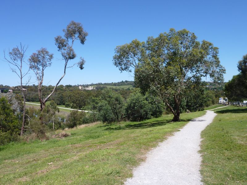 Lillydale Lake Park, Swansea Road - Easterly view along pathway at lookout
 Lillydale Lake Park, Swansea Road - Southerly view near northern tip of lake
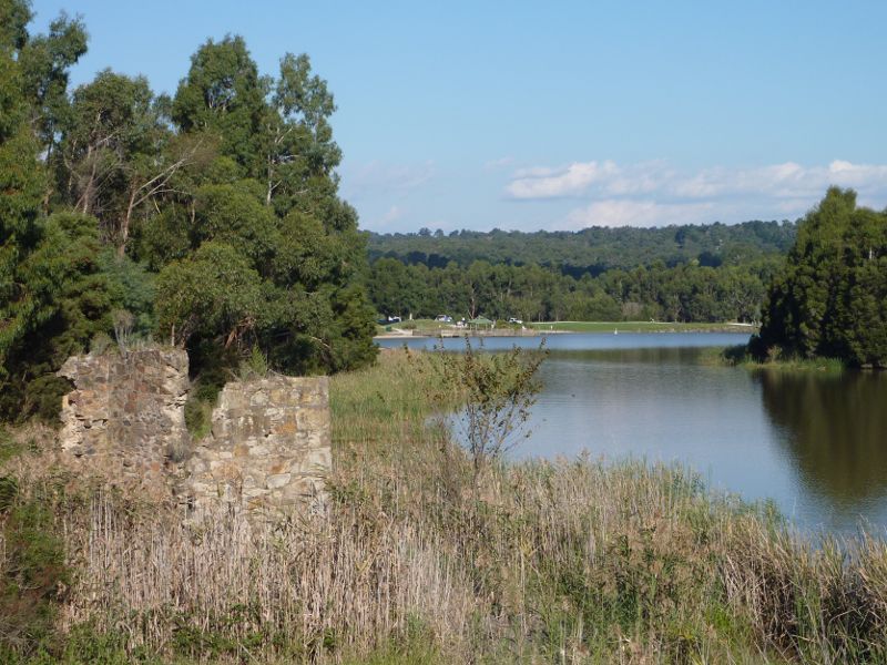 Lillydale Lake Park, Swansea Road - Remains of Cashins Flour Mill near northern tip of lake
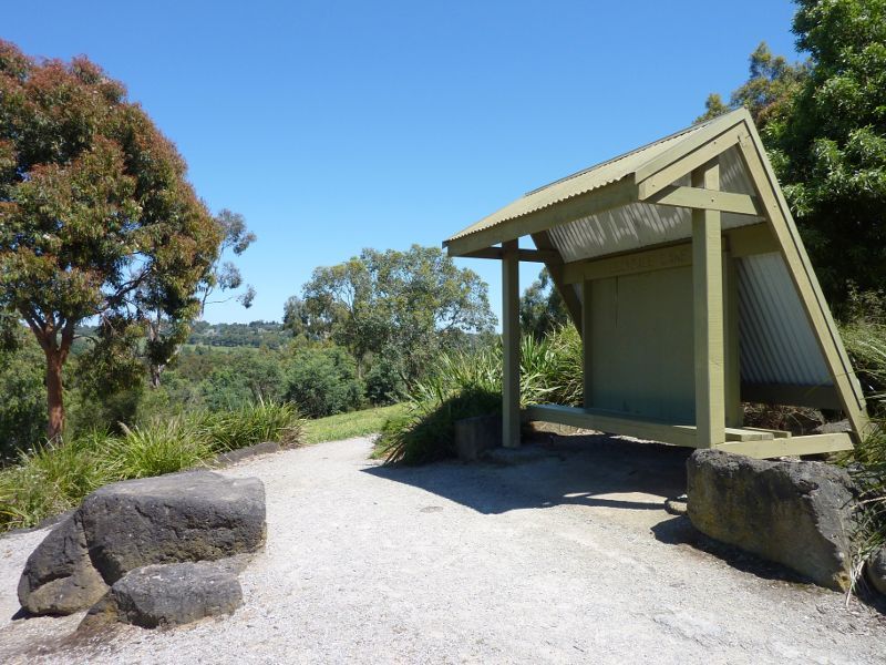
 Lillydale Lake Park, Swansea Road - Information shelter at northern tip of lake
 Lillydale Lake Park, Swansea Road - Entrance gate to park near northern tip of lake
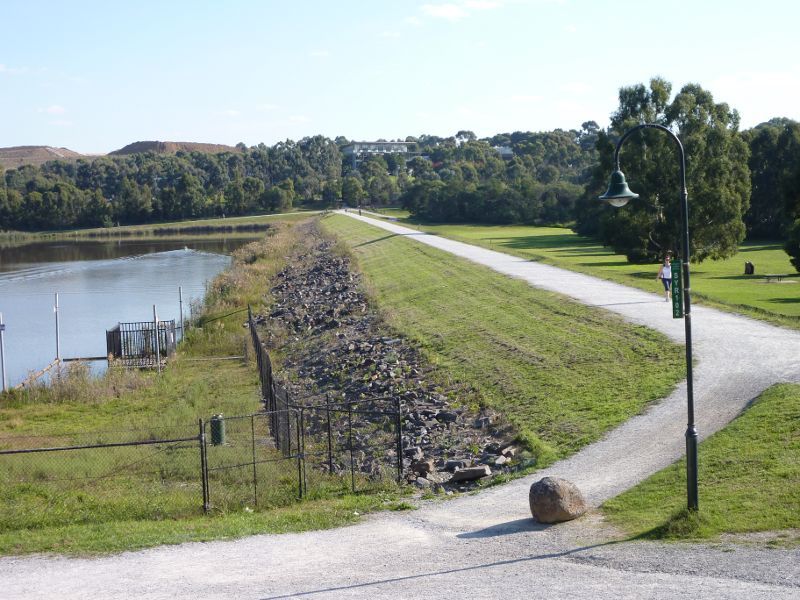 Lillydale Lake Park, Swansea Road - View south-west along embankment at northern tip of lake
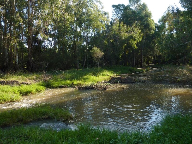 Lillydale Lake Park, Swansea Road - Olinda Creek at northern side of embankment
 Lillydale Lake Park, Swansea Road - View north-east along embankment near northern tip of lake
 Lillydale Lake Park, Swansea Road - South-easterly view across lake from embankment
 Lillydale Lake Park, Swansea Road - Southerly view across lake from embankment
 Lillydale Lake Park, Swansea Road - Southerly view towards Mt Dandenong from embankment
 Hull Road Wetlands, Lakeview Drive - Southerly view along Lakeview Dr
 Hull Road Wetlands, Lakeview Drive - Pathway from Lakeview Dr to wetlands
 Hull Road Wetlands, Lakeview Drive - Easterly view across lawns and wetlands to footbridge
 Hull Road Wetlands, Lakeview Drive - Easterly view across wetlands to footbridge
 Hull Road Wetlands, Lakeview Drive - Lake
 Hull Road Wetlands, Lakeview Drive - Lake
 Hull Road Wetlands, Lakeview Drive - Pathway along western edge of wetlands
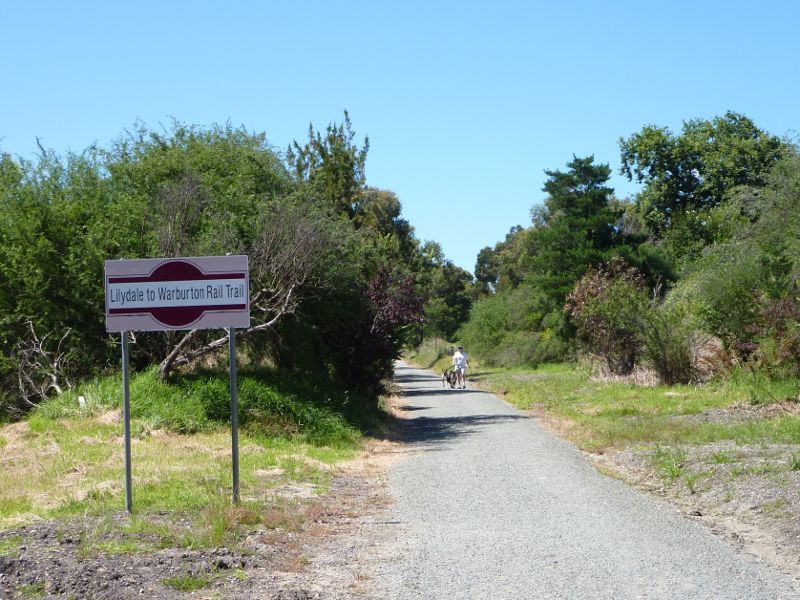
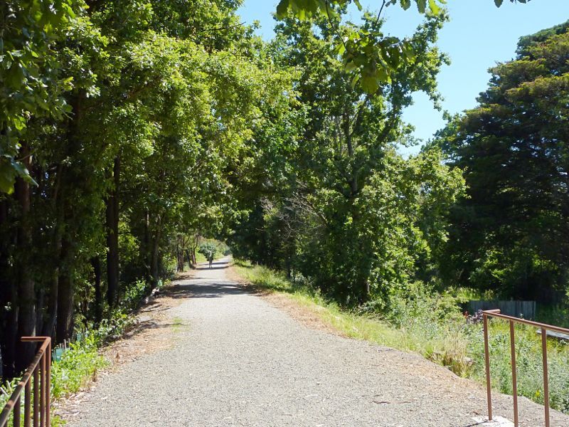
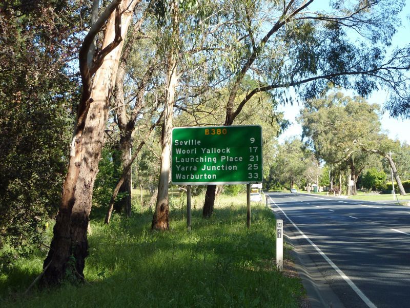
 Lilydale to Warburton Rail Trail - View south-west along Maroondah Hwy towards rail trail bridge at Queen Rd
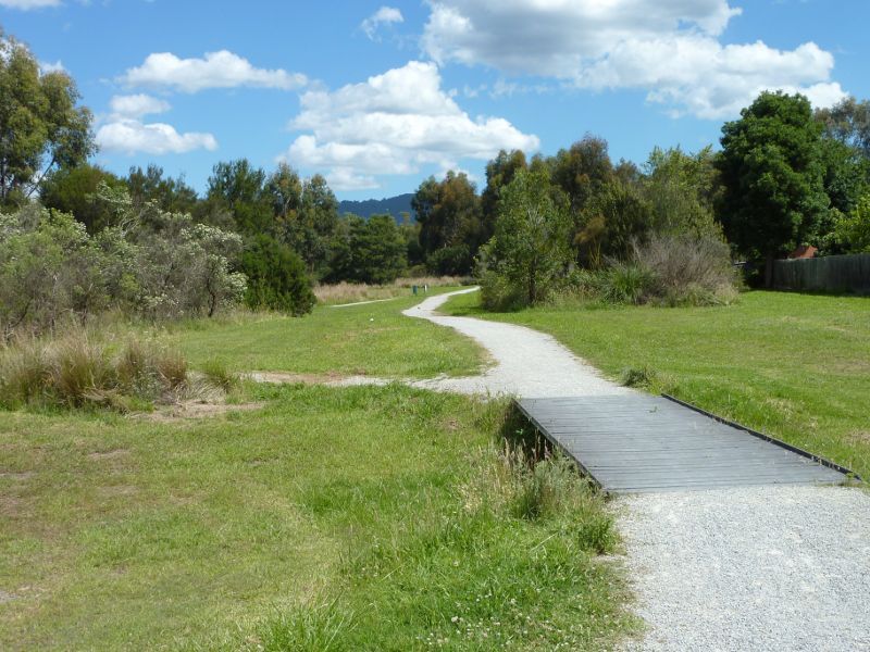
 Lilydale to Warburton Rail Trail - Pathway south of bridge over Maroondah Hwy
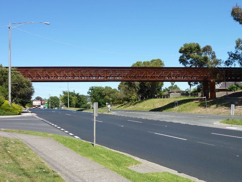
 Lilydale to Warburton Rail Trail - Southern end of bridge over Maroondah Hwy
 Lilydale to Warburton Rail Trail - View north along bridge over Maroondah Hwy
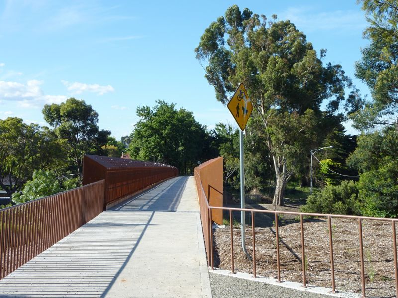
 Lilydale to Warburton Rail Trail - View west along Maroondah Hwy from rail trail bridge
 Lilydale to Warburton Rail Trail - View north-east along Maroondah Hwy from rail trail bridge
 Lilydale to Warburton Rail Trail - Pathway north of bridge over Maroondah Hwy
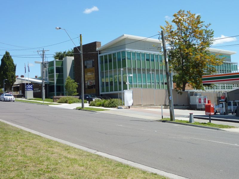 Around Lilydale - Police station, Albert Hill Rd
 Victoria Road - View north along Victoria Rd at Allambi Rd
 Victoria Road - North-easterly view, Victoria Rd at Allambi Rd
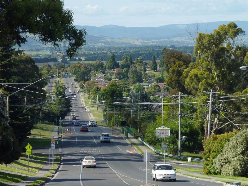
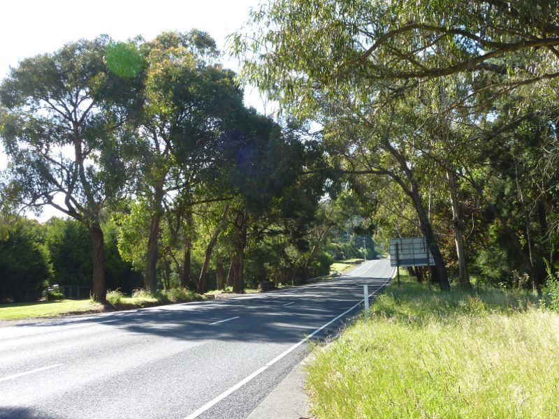
 Maroondah Highway west of Lilydale town centre - View north-east along Maroondah Hwy east of Victoria Rd
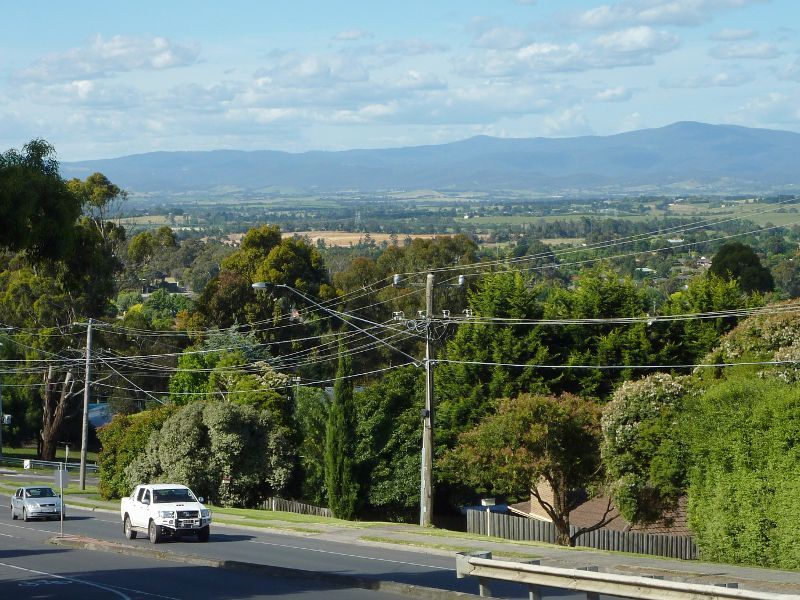
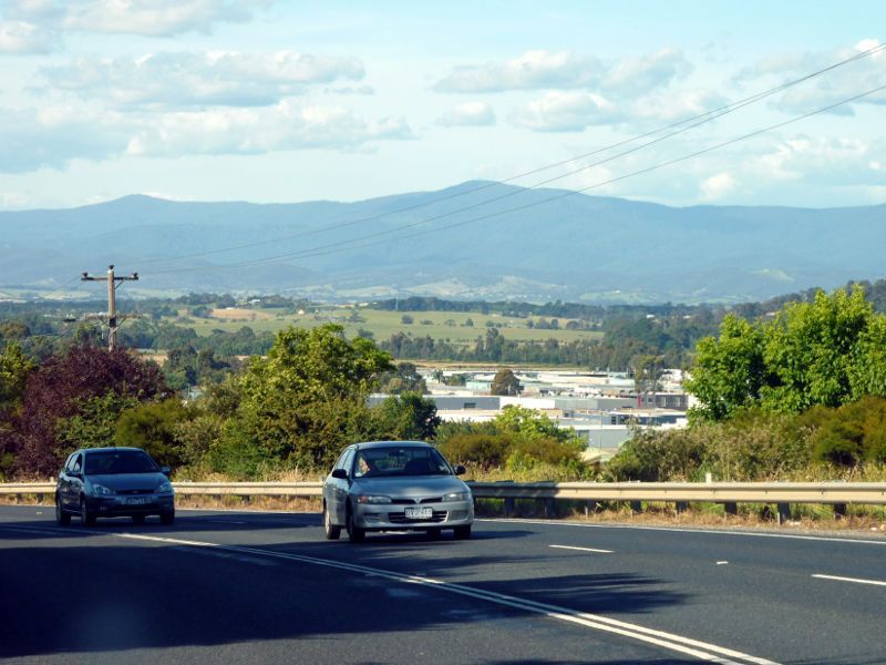
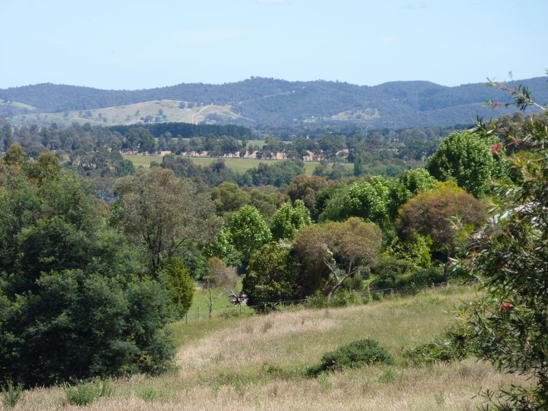
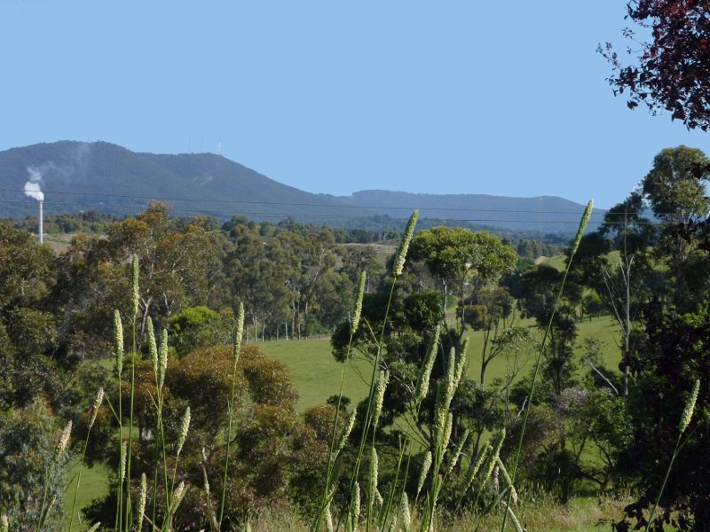 Maroondah Highway west of Lilydale town centre - Southerly view towards Mt Dandenong from east of Victoria Rd
 Maroondah Highway west of Lilydale town centre - Maroondah Hwy at Victoria Rd
 Maroondah Highway west of Lilydale town centre - Yarra Valley Herb Farm Restaurant, corner Maroondah Hwy and Victoria Rd
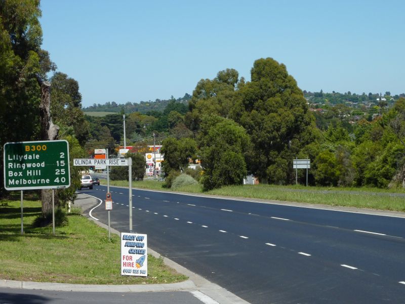 Maroondah Highway east of Lilydale town centre - View south-west along Maroondah Hwy at Olinda Park Rise
 Maroondah Highway east of Lilydale town centre - North-westerly view, Maroondah Hwy opposite Olinda Park Rise
 Maroondah Highway east of Lilydale town centre - View north-east along Maroondah Hwy towards Mangans Rd and Warburton Hwy
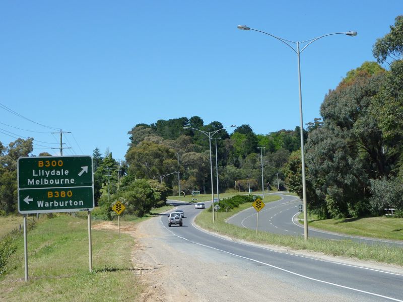 Maroondah Highway east of Lilydale town centre - View south along Maroondah Hwy towards Warburton Hwy
 Maroondah Highway east of Lilydale town centre - Westerly view, Maroondah Hwy near Rosemont Rd
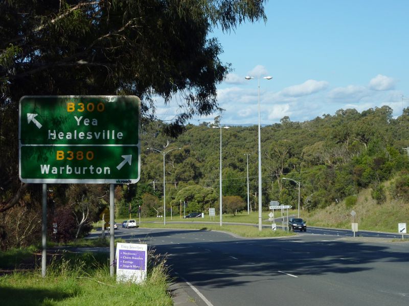
 Warburton Highway - View south-east along Warburton Hwy near Glenside Cl
 Warburton Highway - View north-west along Warburton Hwy near Glenside Cl
 Warburton Highway - North-easterly view, Warburton Hwy near Glenside Cl