Lorne - public transport
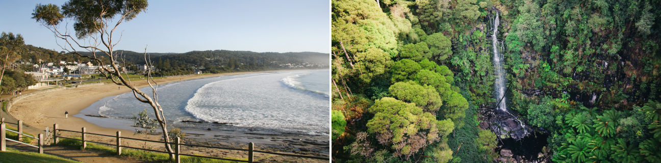
Lorne
Stay
See and do
Food and drink
Shopping
Getting around
Visitor information
Train
Birregurra station
(38 km away)
| Line | Operator | Timetable and stops | Map |
|---|---|---|---|
| Warrnambool |  |
Warrnambool - Melbourne Via Warrnambool, Sherwood Park, Terang, Camperdown, Colac, Birregurra, Winchelsea, Waurn Ponds, Marshall, South Geelong, Geelong, North Geelong, North Shore, Corio, Lara, Little River, Wyndham Vale, Tarneit, Footscray, Southern Cross |
Winchelsea station
(48 km away)
| Line | Operator | Timetable and stops | Map |
|---|---|---|---|
| Warrnambool | |
Warrnambool - Melbourne Via Warrnambool, Sherwood Park, Terang, Camperdown, Colac, Birregurra, Winchelsea, Waurn Ponds, Marshall, South Geelong, Geelong, North Geelong, North Shore, Corio, Lara, Little River, Wyndham Vale, Tarneit, Footscray, Southern Cross |
Geelong, Corio, Marshall, North Geelong, North Shore, South Geelong, Waurn Ponds stations
(67 km away)
| Line | Operator | Timetable and stops | Map |
|---|---|---|---|
| Geelong | |
Geelong - Melbourne Via Waurn Ponds, Marshall, South Geelong, Geelong, North Geelong, North Shore, Corio, Lara, Little River, Wyndham Vale, Tarneit, Deer Park, Ardeer, Sunshine, Footscray, Southern Cross |
|
| Warrnambool | |
Warrnambool - Melbourne Via Warrnambool, Sherwood Park, Terang, Camperdown, Colac, Birregurra, Winchelsea, Waurn Ponds, Marshall, South Geelong, Geelong, North Geelong, North Shore, Corio, Lara, Little River, Wyndham Vale, Tarneit, Footscray, Southern Cross |
|
| The Overland |  |
Melbourne to Adelaide Via Southern Cross, North Shore, Ararat, Stawell, Horsham, Dimboola, Nhill, Bordertown (SA), Murray Bridge (SA), Adelaide (SA) |
Bus
| Route | Operator | Timetable | Map |
|---|---|---|---|
| Geelong to Apollo Bay Via Geelong station, South Geelong, Belmont, Marshall, Marshall station, Grovedale, Armstrong Creek, Mount Duneed, Torquay, Jan Juc, Bellbrae, Anglesea, Aireys Inlet, Fairhaven, Eastern View, Lorne, Wye River, Skenes Creek |
McHarry's | ||
| Colac to Lorne Via Colac station, Birregurra, Deans Marsh |
Hutchinson |
Taxi
| Operator | Areas covered | Phone |
|---|---|---|
| Geelong Taxi Network | Aireys Inlet, Anglesea, Barwon Heads, Clifton Springs, Drysdale, Geelong, Geelong's suburbs, Indented Head, Jan Juc, Lorne, Ocean Grove, Point Lonsdale, Portarlington, Queenscliff, St Leonards, Torquay, Winchelsea | (03) 5277 7900 |