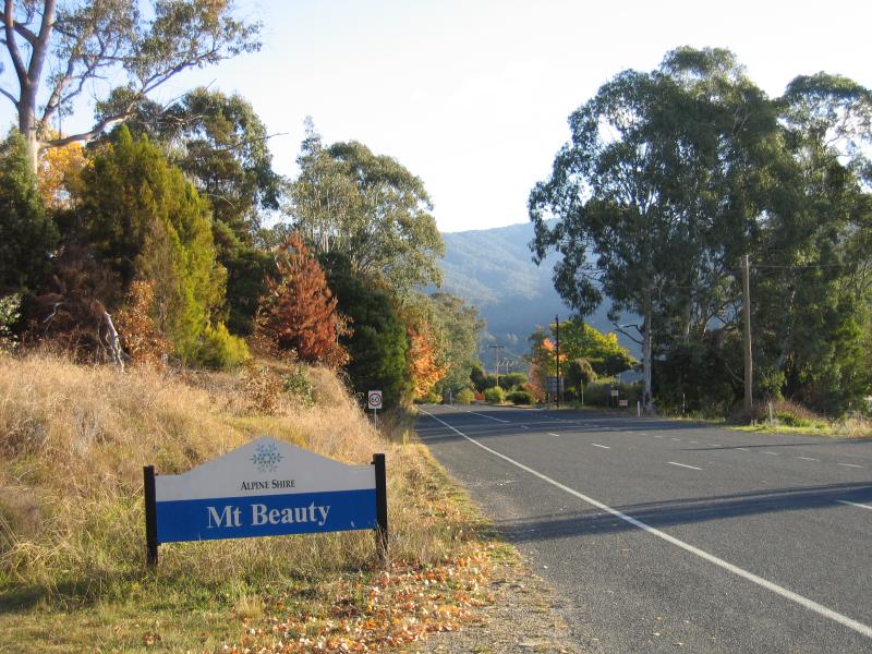
Mount Beauty - photos
Mount Beauty
Stay
See and do
Food and drink
Shopping
Getting around
Visitor information
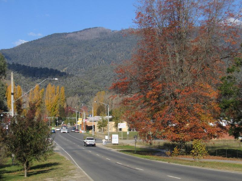
 Shops and commercial centre - View south-east along Kiewa Valley Hwy towards Lakeside Av
 Shops and commercial centre - View north-east along Lakeside Av at Kiewa Valley Hwy
 Shops and commercial centre - View south-west along Lakeside Av towards Kiewa Valley Hwy
 Shops and commercial centre - View east along Hollonds St at Lakeside Av
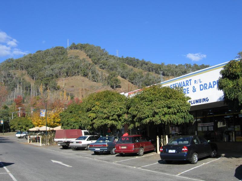 Shops and commercial centre - Shops, view east along Hollonds St between Lakeside Av and Park St
 Shops and commercial centre - Shops, view east along Hollonds St between Lakeside Av and Park St
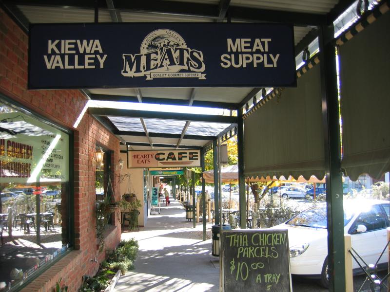 Shops and commercial centre - Verandah under shops, Hollonds St
 Shops and commercial centre - View east along Hollonds towards supermarket
 Shops and commercial centre - View west along Hollonds St at Park St
 Shops and commercial centre - Park along Lakeside Av opposite Hollonds St
 Shops and commercial centre - View east along Kiewa Cres at Lakeside Av
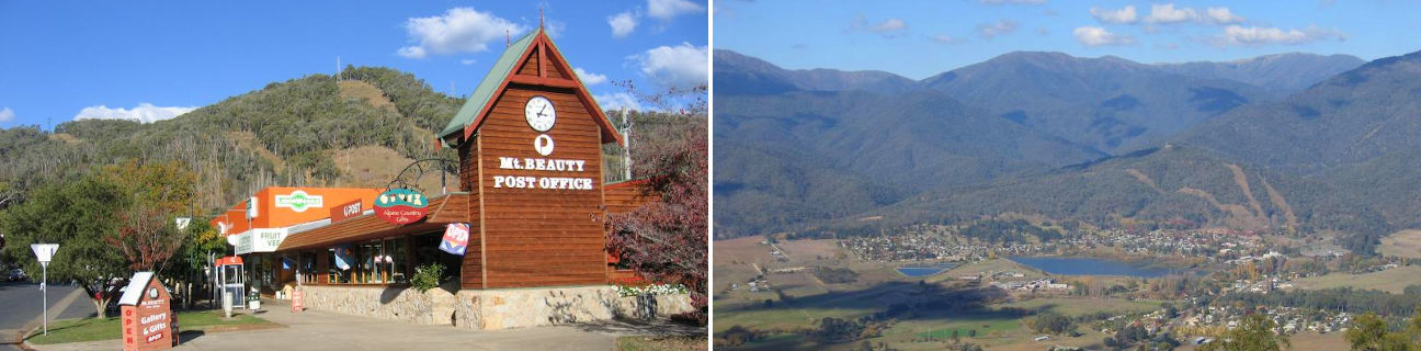
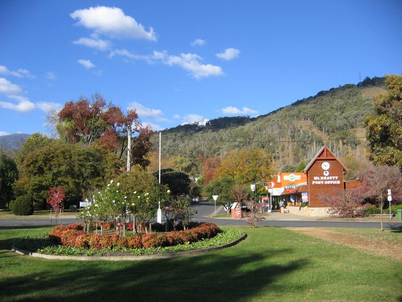
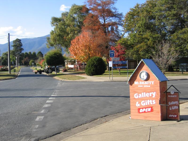
 Shops and commercial centre - Mt Beauty post office, corner Lakeside Av and Kiewa Cres
 Shops and commercial centre - View north-east along Lakeside Av at Kiewa Cres
 Shops and commercial centre - Supermarket, view east along Kiewa Cres between Lakeside Av and Park St
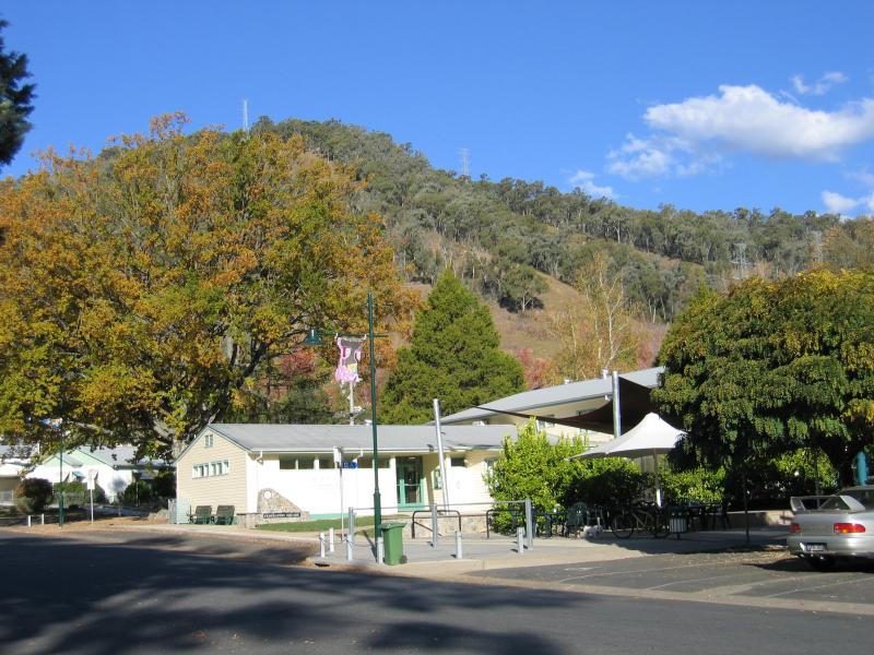 Shops and commercial centre - Community Centre and Federation Square, view east along Kiewa Cres towards Park St
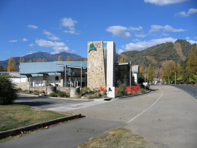 Kiewa Valley Highway, western end of town - Alpine Discovery Centre
 Kiewa Valley Highway, western end of town - View south-east along Kiewa Valley Hwy towards Tail Race Channel
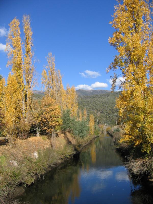 Kiewa Valley Highway, western end of town - View south along Tail Race Channel at Kiewa Valley Hwy
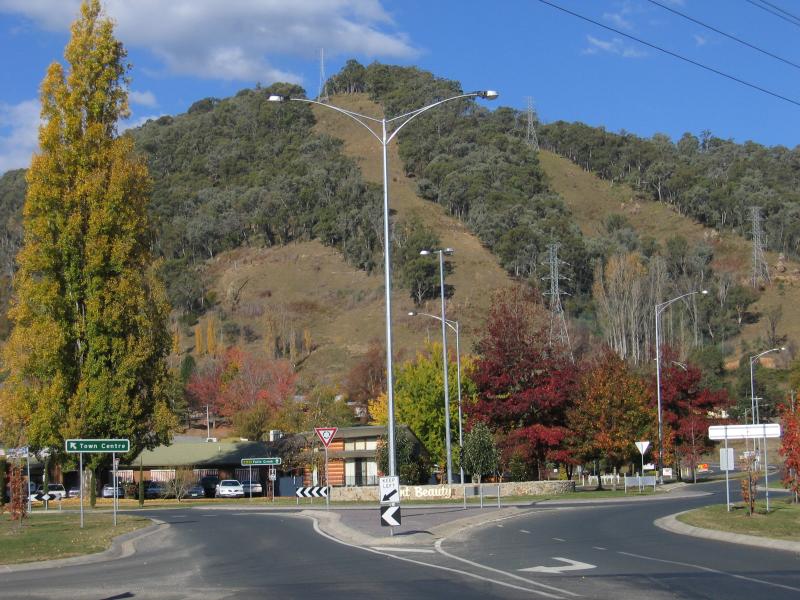
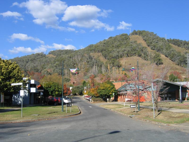
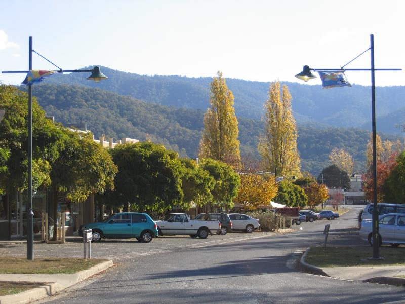
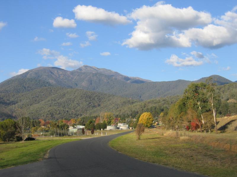
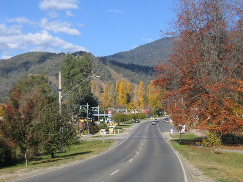
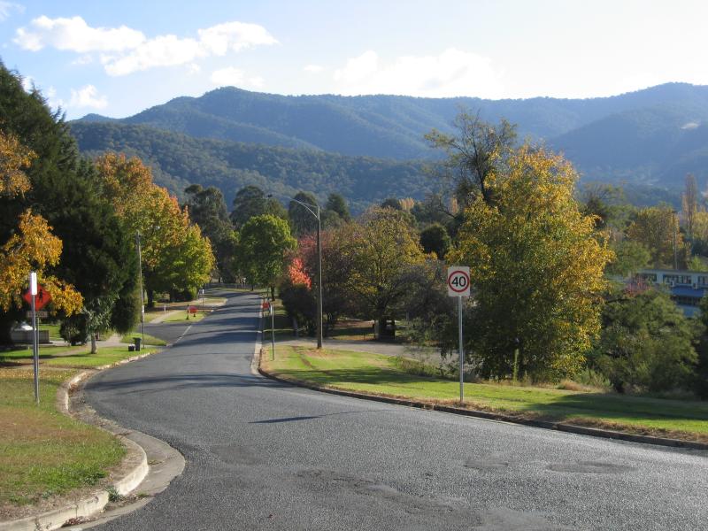 Around Mt Beauty - View west along Lakeside Av at northern end of Kiewa Cres
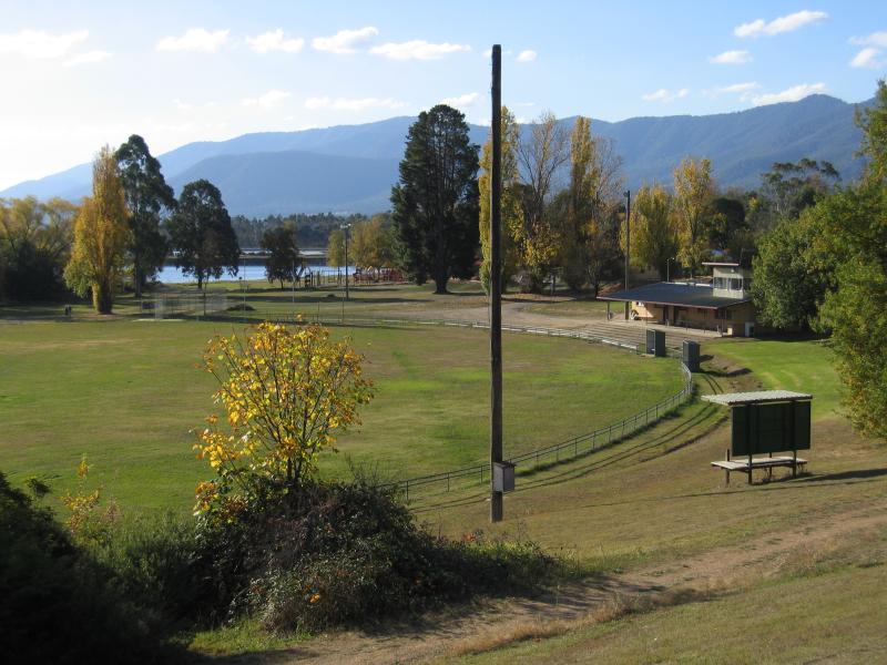 Around Mt Beauty - View north across sports oval from Lakeside Av at Hill St
 Kiewa River - View south-east along Kiewa Valley Hwy towards Kiewa River
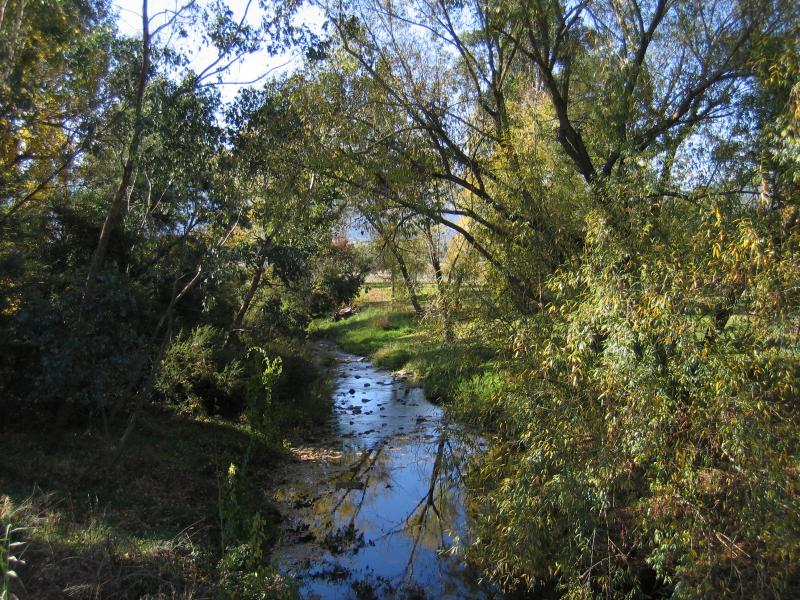 Kiewa River - View north-east along Kiewa River at Kiewa Valley Hwy
 Kiewa River - View through park between Kiewa River and Embankment Dr near Kiewa Valley Hwy
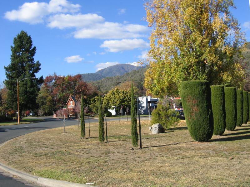
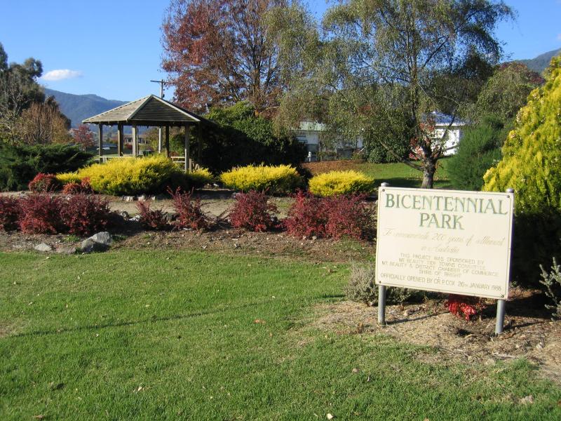 Bicentennial Park, Lakeside Avenue - Park sign and rotunda
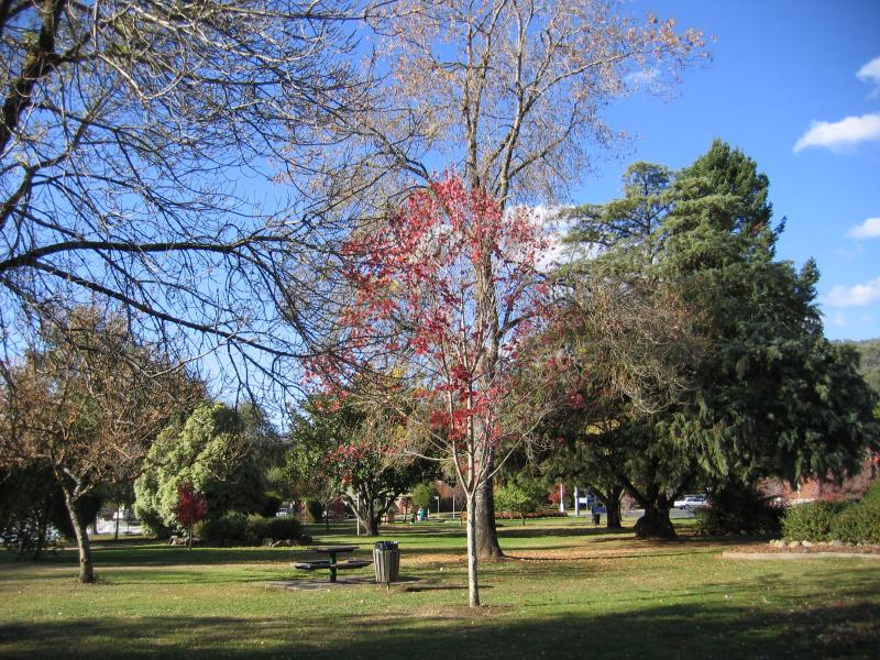
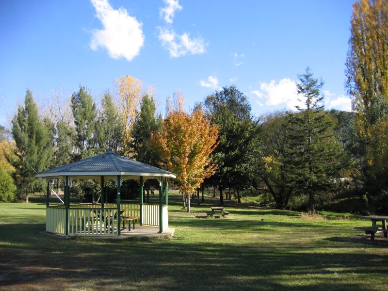
 Bicentennial Park, Lakeside Avenue - View north through park
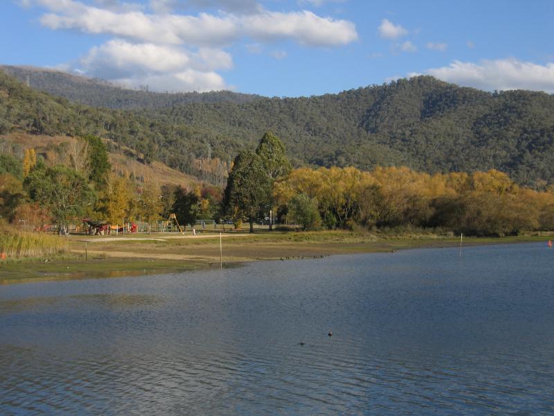
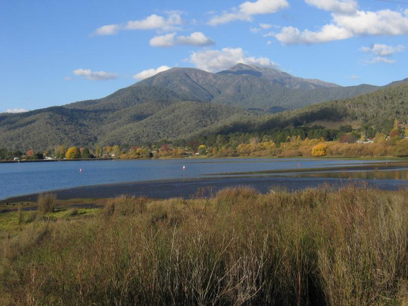
 Bicentennial Park, Lakeside Avenue - View west towards pondage
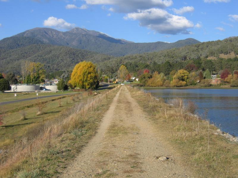
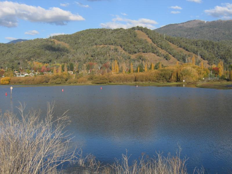
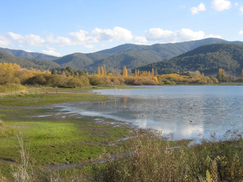 Regulating Pondage, Embankment Drive - View south across pondage from Embankment Dr near Lakeside Av
 Regulating Pondage, Embankment Drive - View east along northern wall of pondage towards Lakeside Av
 Regulating Pondage, Embankment Drive - View south-east across pondage from northern wall
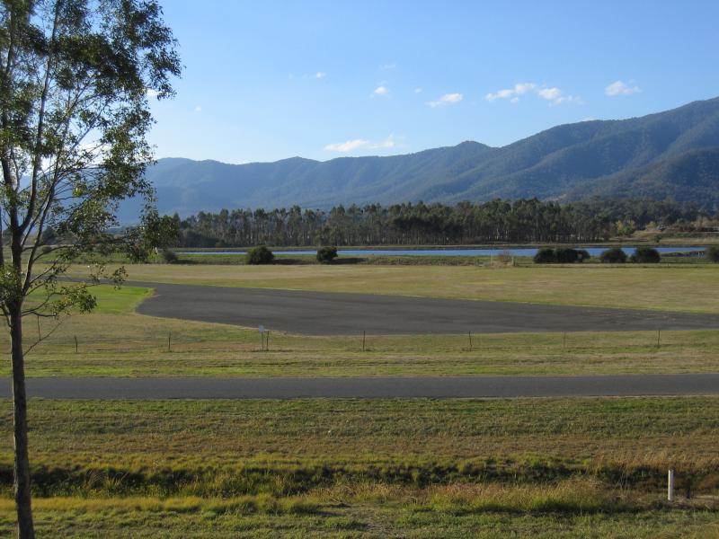
 Regulating Pondage, Embankment Drive - View north towards lakes near airstrip from northern wall of pondage
 Regulating Pondage, Embankment Drive - View towards airstrip and lake from northern wall of pondage
 Regulating Pondage, Embankment Drive - View east along Embankment Dr at Mill Rd
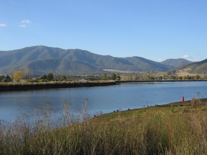
 Regulating Pondage, Embankment Drive - View north-east across pondage towards Mount Bogong from western wall of pondage
 Regulating Pondage, Embankment Drive - View east across pondage from western wall of pondage
 Regulating Pondage, Embankment Drive - View north across pondage from western wall of pondage
 Regulating Pondage, Embankment Drive - View south-east along Embankment Dr towards Pondage outlet into Kiewa River
 Tawonga South commercial centre, Kiewa Valley Highway - Tawonga South town sign, view south-east along Kiewa Valley Hwy
 Tawonga South commercial centre, Kiewa Valley Highway - View east from Kiewa Valley Hwy at Wonnangatta Av
 Tawonga South commercial centre, Kiewa Valley Highway - View south-east along Kiewa Valley Hwy at Vails Rd
 Tawonga South commercial centre, Kiewa Valley Highway - View south-east along Kiewa Valley Hwy at Vails Rd
 Tawonga South commercial centre, Kiewa Valley Highway - Settlers Tavern
 Tawonga South commercial centre, Kiewa Valley Highway - View south-east along Kiewa Valley Hwy at post office
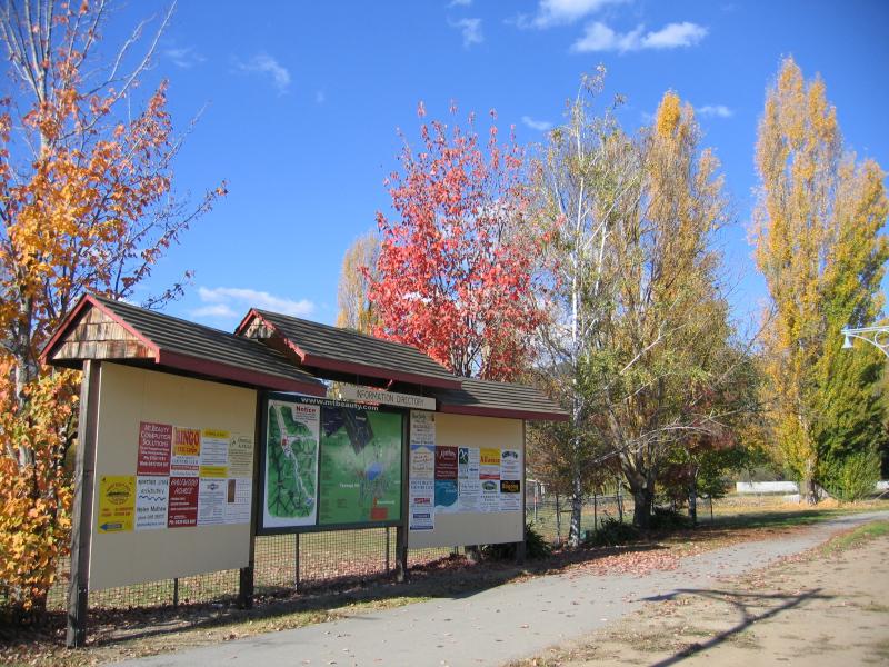 Tawonga South commercial centre, Kiewa Valley Highway - Information directory, Kiewa Valley Hwy
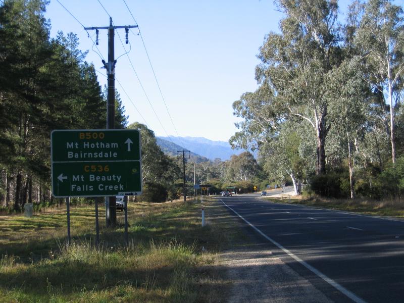
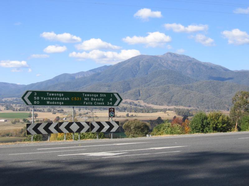 Kiewa Valley Highway at Bright-Tawonga Road - View north-east from Kiewa Valley Hwy at Bright-Tawonga Rd
 Kiewa Valley Highway at Bright-Tawonga Road - View north-east towards Mount Bogong
 Kiewa Valley Highway at Bright-Tawonga Road - North-easterly view
 Kiewa Valley Highway at Bright-Tawonga Road - View south-east along Kiewa Valley Hwy towards Bright-Tawonga Rd
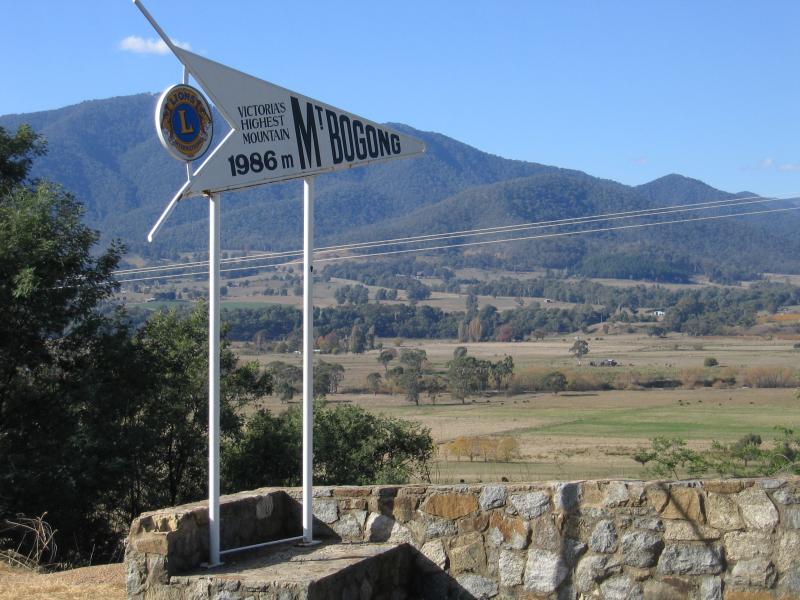 Mount Bogong Lookout, south of Tawonga - Mt Bogong sign, looking north
 Mount Bogong Lookout, south of Tawonga - View east towards Mt Bogong
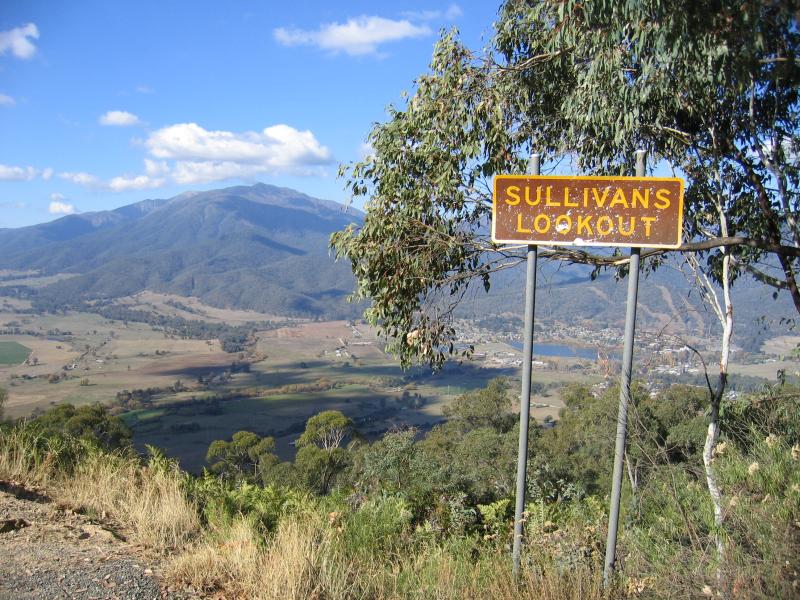 Sullivans Lookout, Bright-Tawonga Road - Lookout sign, view south-east towards town of Mt Beauty
 Sullivans Lookout, Bright-Tawonga Road - Easterly view
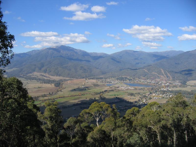 Sullivans Lookout, Bright-Tawonga Road - South-easterly view towards town of Mt Beauty
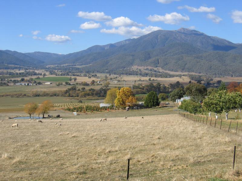
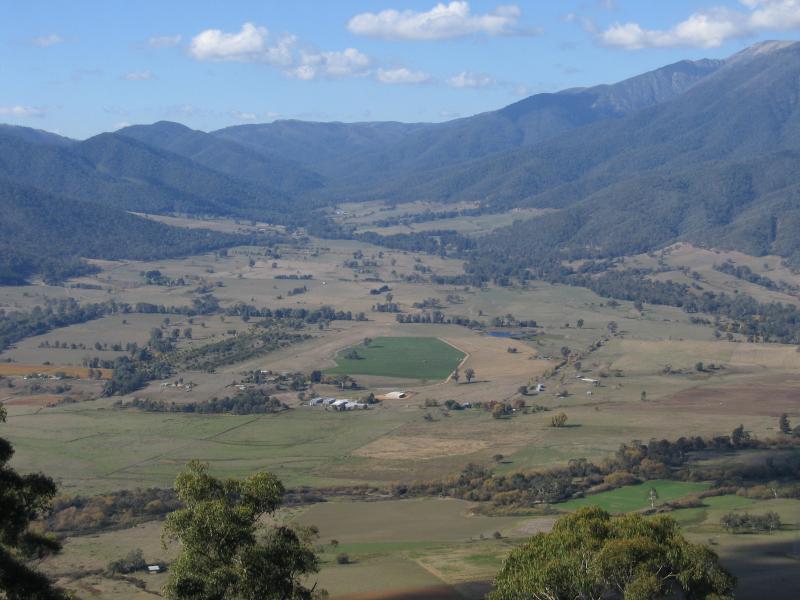
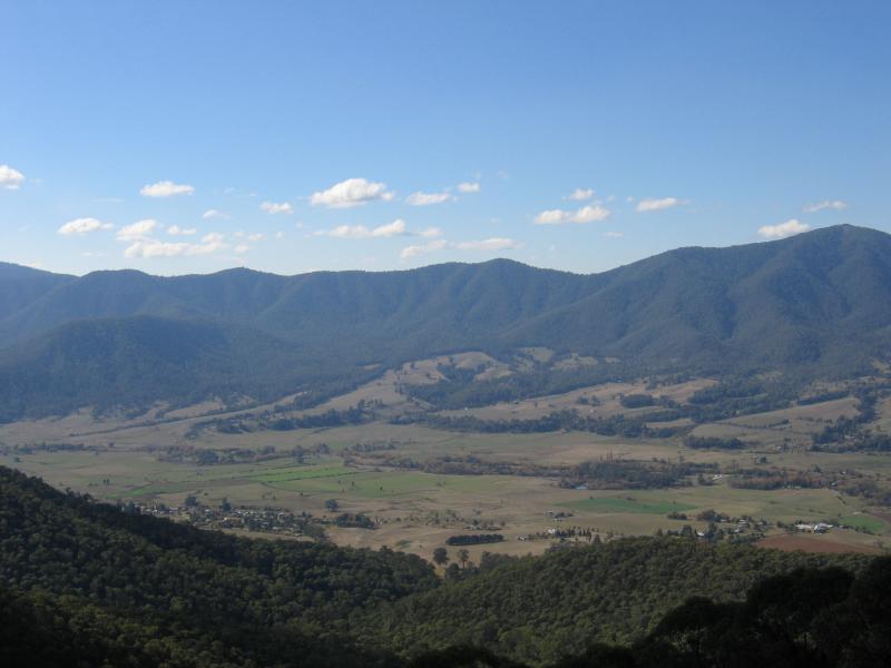
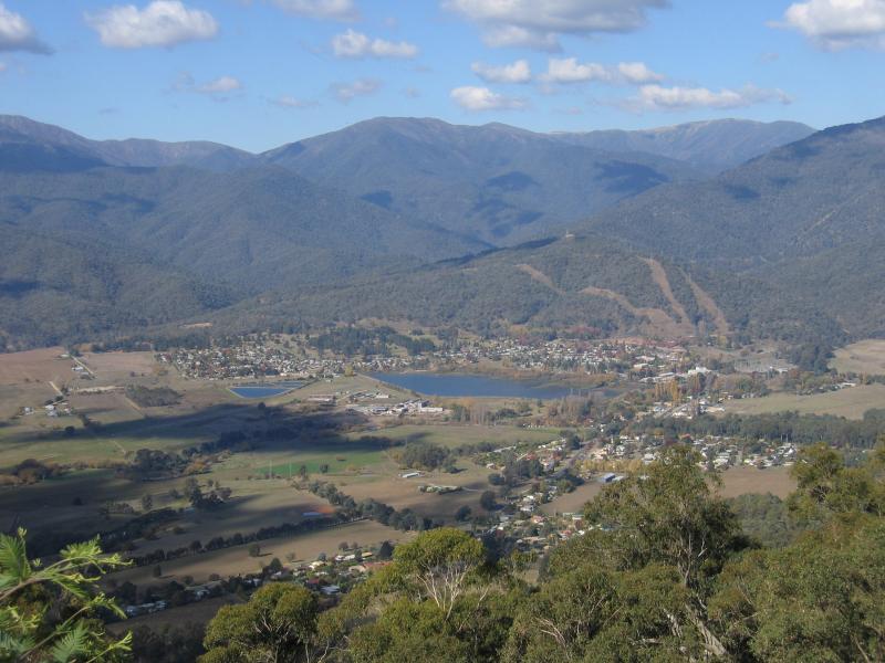 Sullivans Lookout, Bright-Tawonga Road - View south-east down to town of Mt Beauty
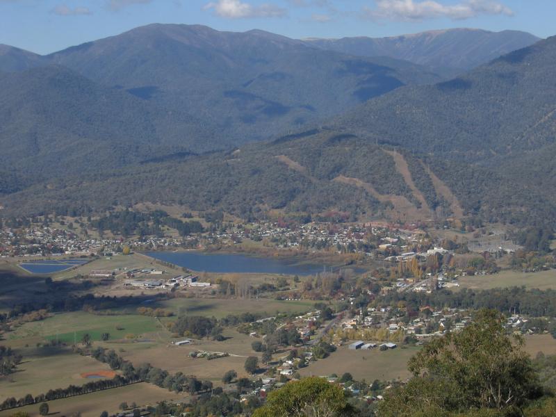 Sullivans Lookout, Bright-Tawonga Road - View south-east down to town of Mt Beauty
 Sullivans Lookout, Bright-Tawonga Road - North-easterly view
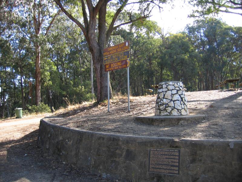 Tawonga Gap and lookout, Bright-Tawonga Road - Sign and monument at car park
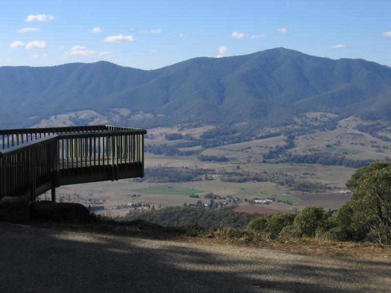 Tawonga Gap and lookout, Bright-Tawonga Road - Viewing platform
 Tawonga Gap and lookout, Bright-Tawonga Road - North-easterly view
 Tawonga Gap and lookout, Bright-Tawonga Road - North-easterly view
 Tawonga Gap and lookout, Bright-Tawonga Road - Easterly view
 Tawonga Gap and lookout, Bright-Tawonga Road - South-easterly view
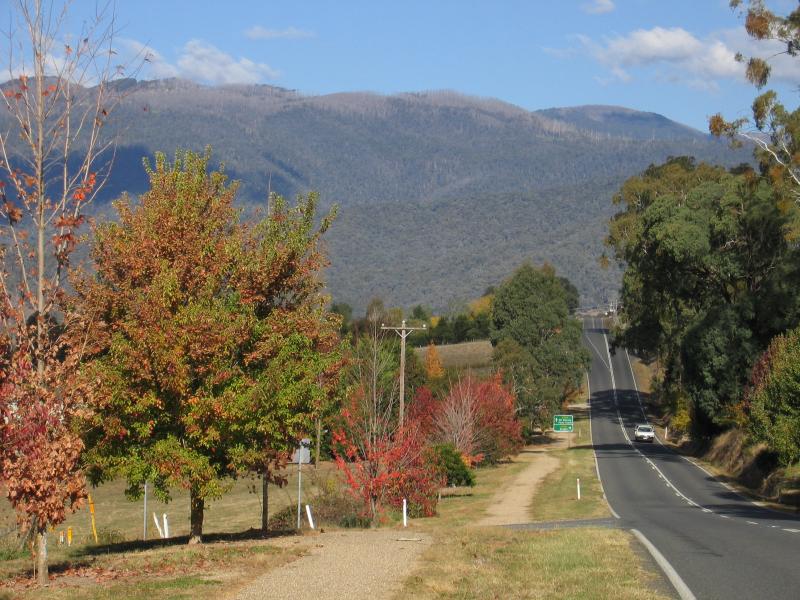
 Bright-Tawonga Road between Germantown and Tawonga - View south-east along Great Alpine Rd towards Bright-Tawonga Rd
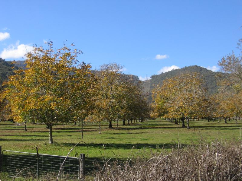 Bright-Tawonga Road between Germantown and Tawonga - Nut farm, 3 km east of Great Alpine Rd
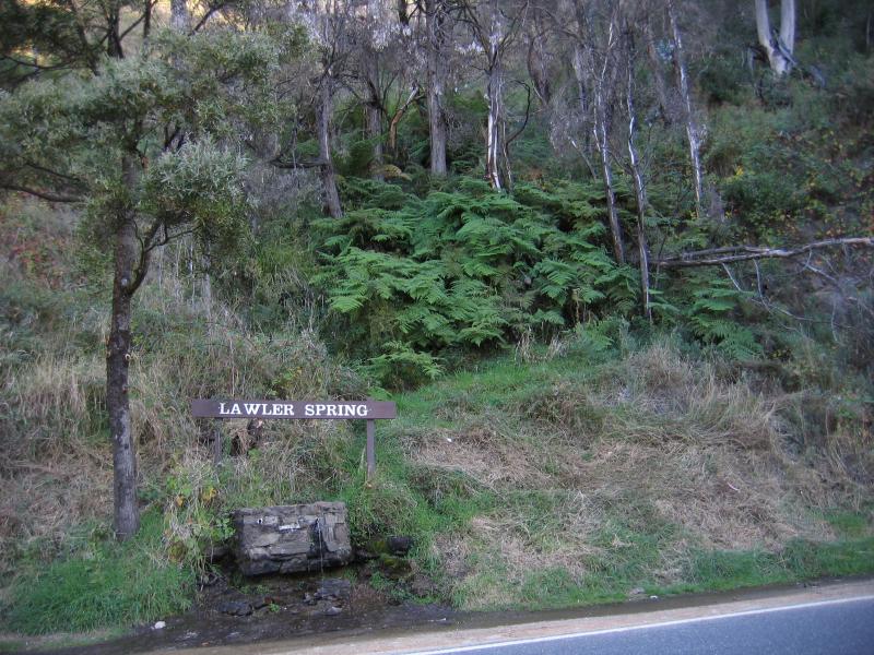 Bright-Tawonga Road between Germantown and Tawonga - Lawler Spring, east of Sullivans Lookout
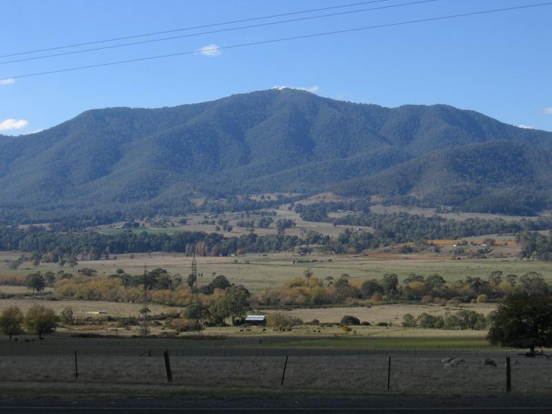
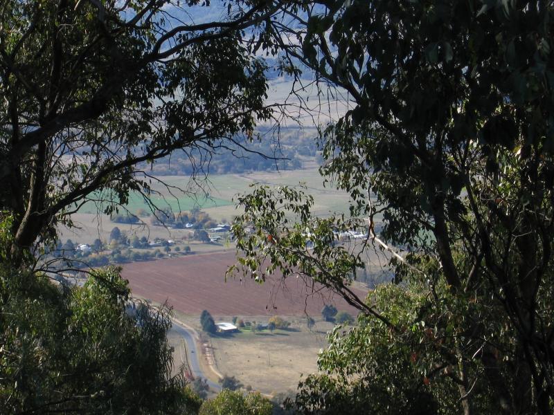
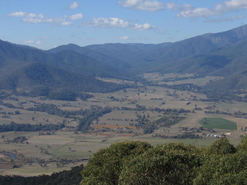
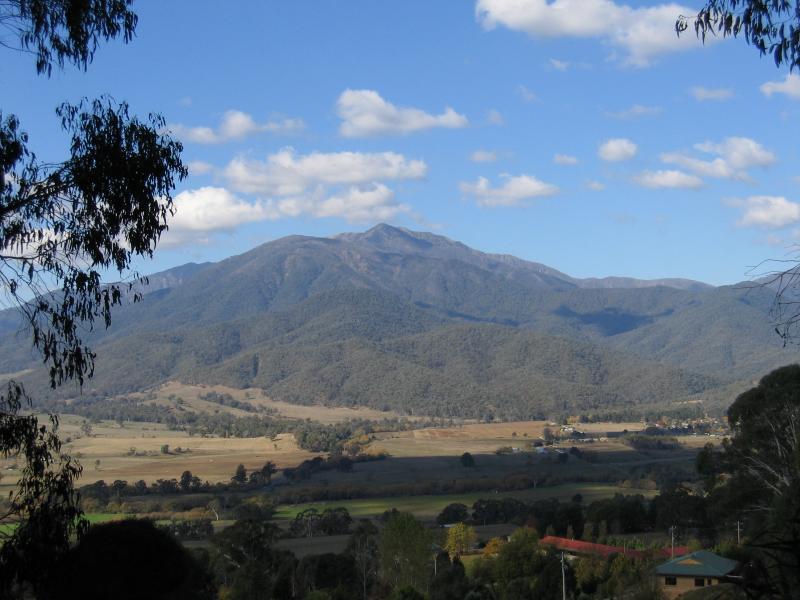 Bright-Tawonga Road between Germantown and Tawonga - South-easterly view towards Mount Bogong, 4.5 km east of Sullivans Lookout
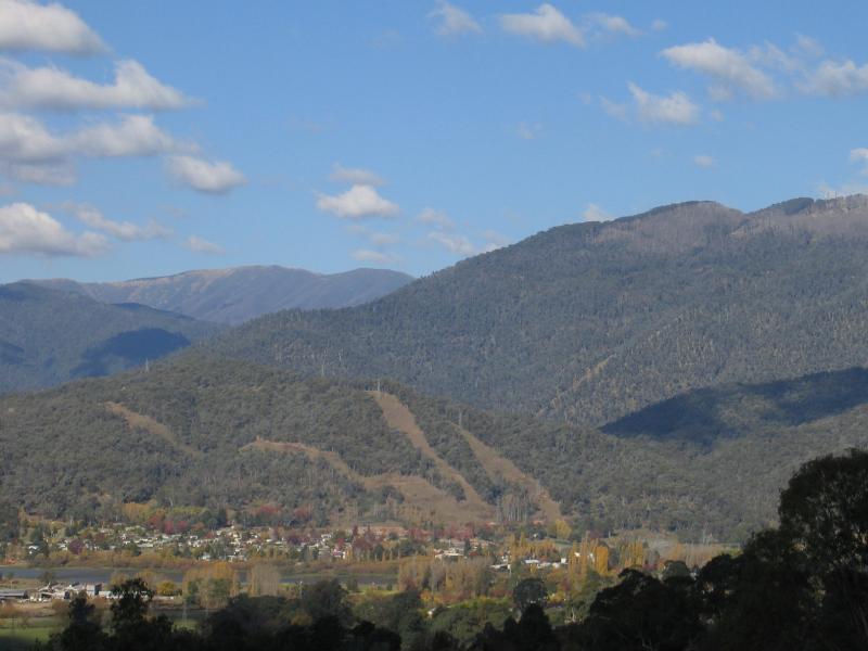 Bright-Tawonga Road between Germantown and Tawonga - South-easterly view towards town of Mt Beauty, 5 km east of Sullivans Lookout
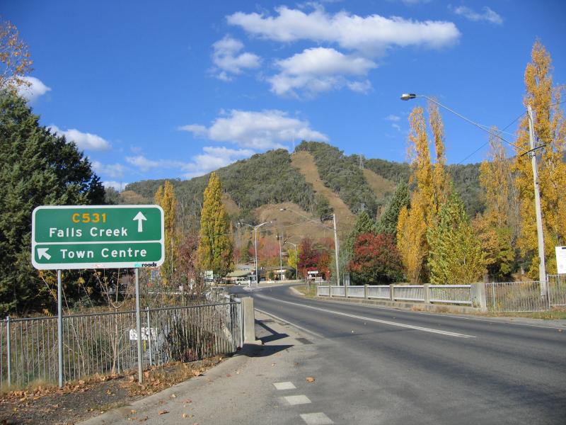
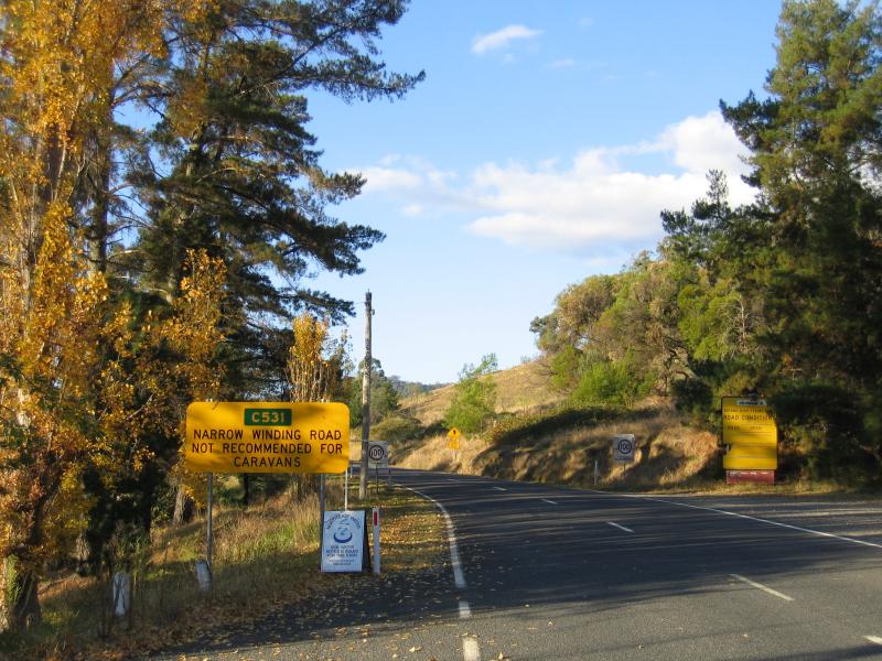
 Bogong High Plains Road to Falls Creek - Town sign, view west along Bogong High Plains Rd near golf course
 Bogong High Plains Road to Falls Creek - View east along Bogong High Plains Rd near golf course
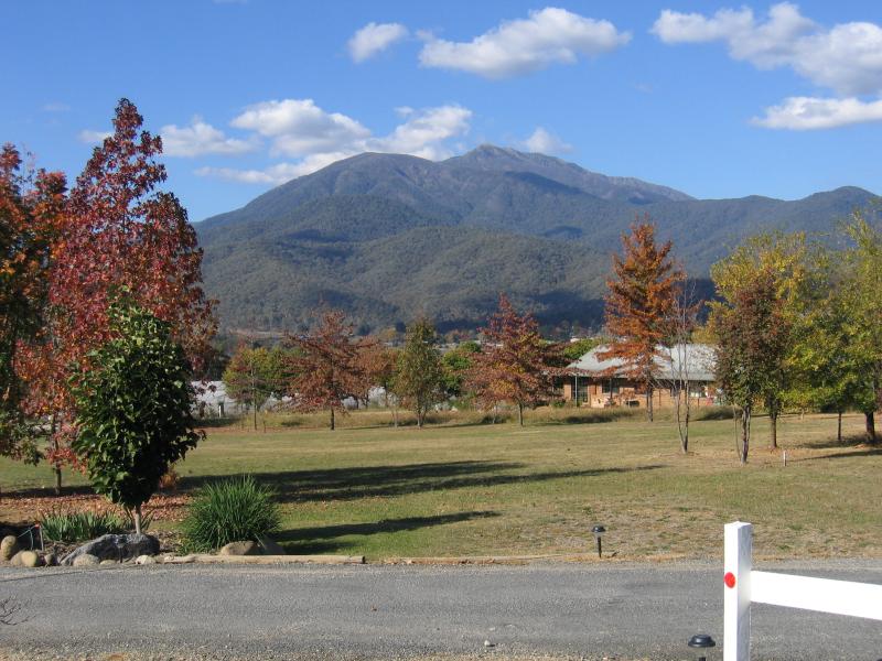
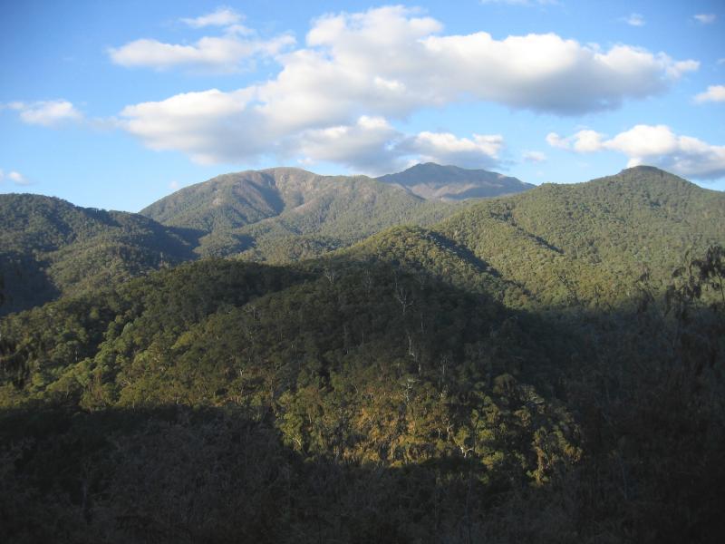 Bogong High Plains Road to Falls Creek - Mountain views, 5 km from Mt Beauty
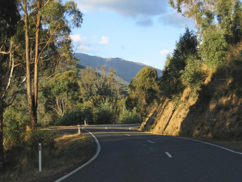 Bogong High Plains Road to Falls Creek - View along Bogong High Plains Rd, 8 km from Mt Beauty
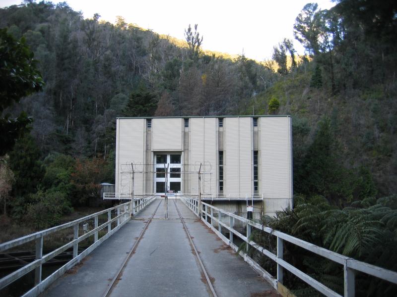 Bogong High Plains Road to Falls Creek - Clover hydro-electric power station
 Bogong High Plains Road to Falls Creek - Slippery Rock Creek and waterfall
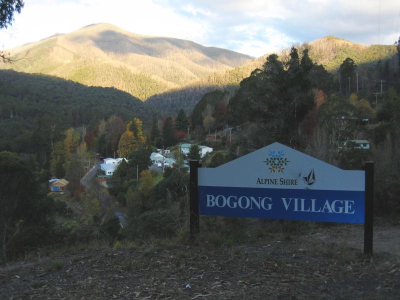 Bogong High Plains Road to Falls Creek - Bogong Village sign and view to town below
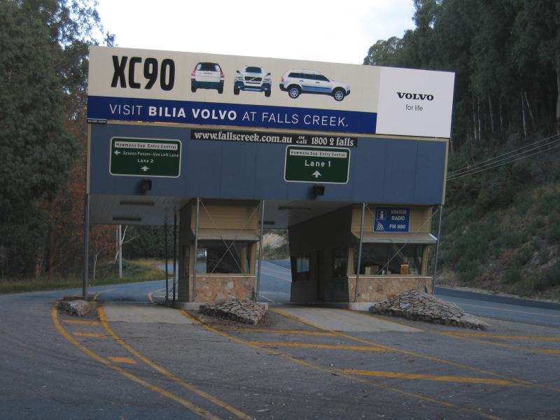 Bogong High Plains Road to Falls Creek - Falls Creek entry gates, Howmans Gap
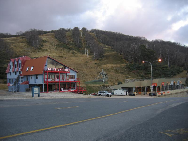
 Bogong High Plains Road to Falls Creek - Approaching Falls Creek village
 Bogong High Plains Road to Falls Creek - At Gully car park
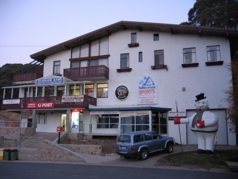 Bogong High Plains Road to Falls Creek - Post office and convenience store, Slalom St