Mount Dandenong - maps & location
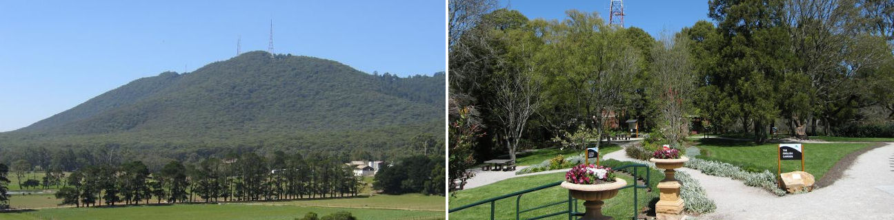
Mount Dandenong
Stay
See and do
Food and drink
Shopping
Getting around
Visitor information
Location
Location by road
44 km east of Melbourne
Geographic coordinates
37° 49' 40'' S
145° 21' 09'' E
44 km east of Melbourne
37° 49' 40'' S
145° 21' 09'' E
