Mount Macedon - photos
Mount Macedon
Stay
See and do
Food and drink
Shopping
Getting around
Visitor information
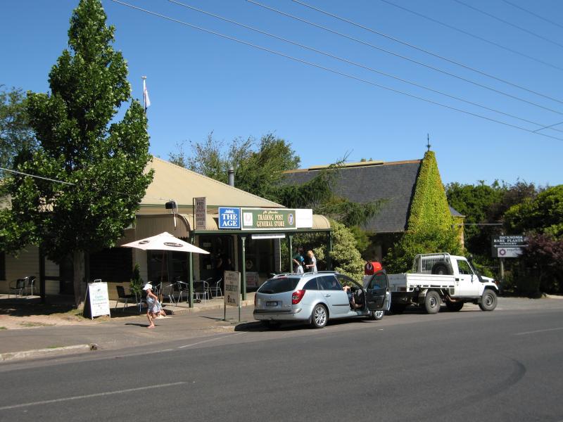
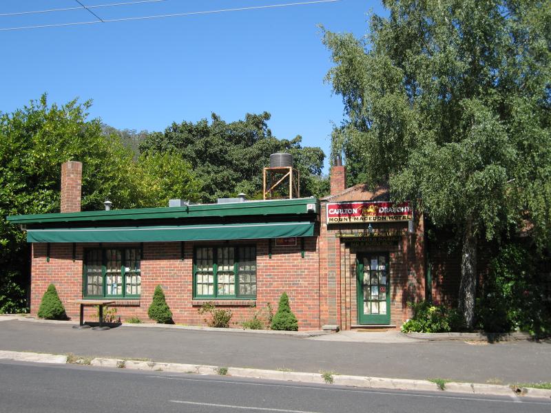 Town centre, Mount Macedon Road - Mount Macedon Hotel
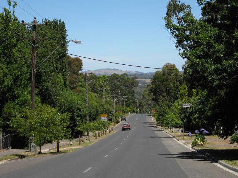
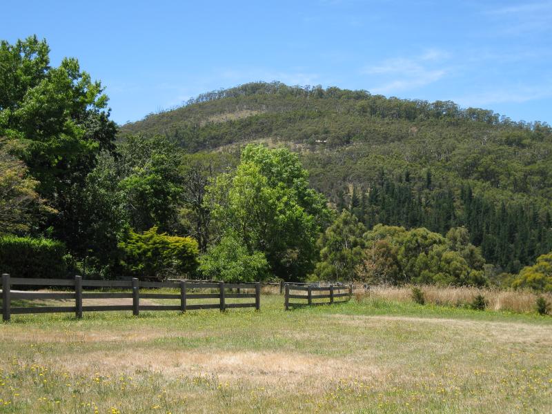 Town centre, Mount Macedon Road - View east to Mt Towrong from between hotel and general store
 Town centre, Mount Macedon Road - Real estate office (supplied by Lindsay Hill Real Estate)
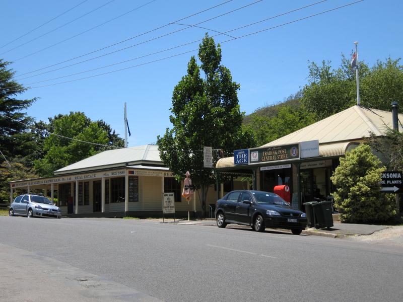 Town centre, Mount Macedon Road - View north along Mt Macedon Rd at general store
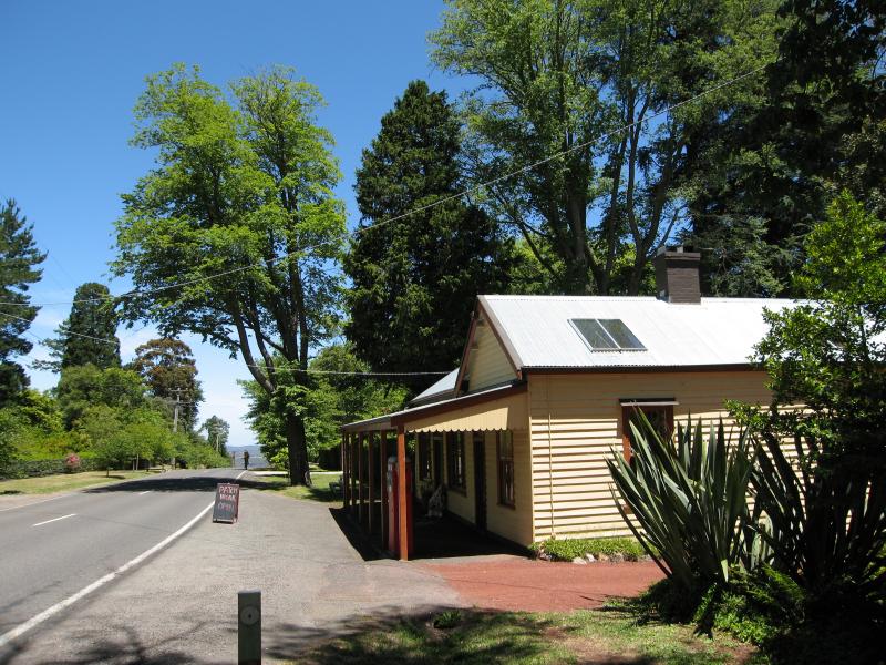
 Town centre, Mount Macedon Road - General store
 Town centre, Mount Macedon Road - View south along Mt Macedon Rd towards general store and church
 Town centre, Mount Macedon Road - Mt Macedon Uniting Church
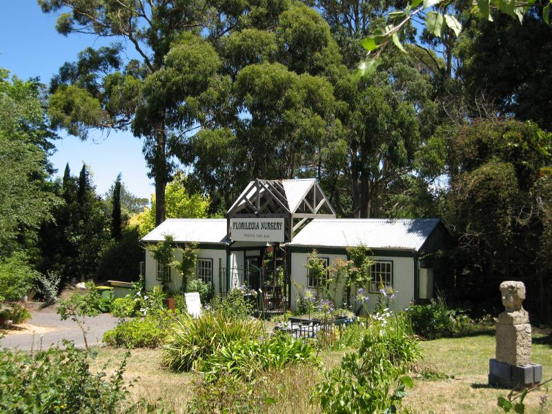 Town centre, Mount Macedon Road - Florilegia Nursery, opposite general store
 Town centre, Mount Macedon Road - View south along Mt Macedon Rd towards Phalemphin Rd
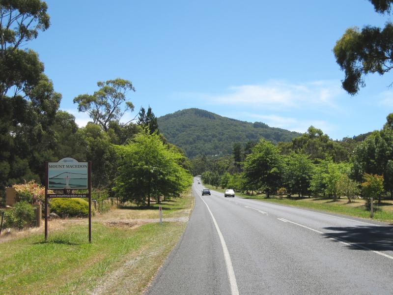 Mount Macedon Road - Mount Macedon town sign, view north along Mt Macedon Rd at Childers Rd
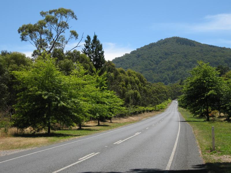 Mount Macedon Road - View north along Mt Macedon Rd at Childers Rd
 Mount Macedon Road - View south along Mt Macedon Rd, just south of Bingarra La
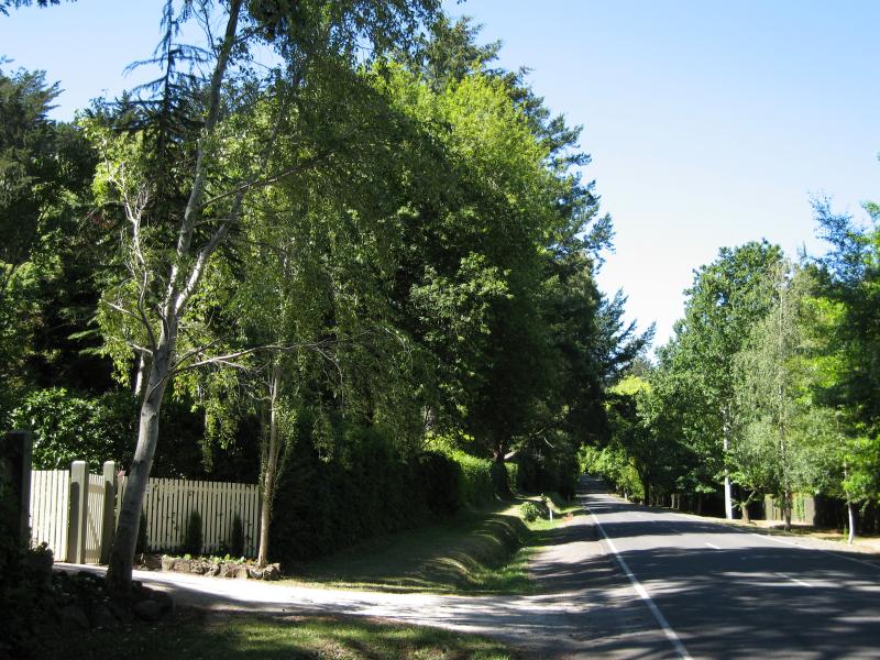
 Mount Macedon Road - View south along Mt Macedon Rd, just south of Devonshire La
 Mount Macedon Road - View south along Mt Macedon Rd at Devonshire La
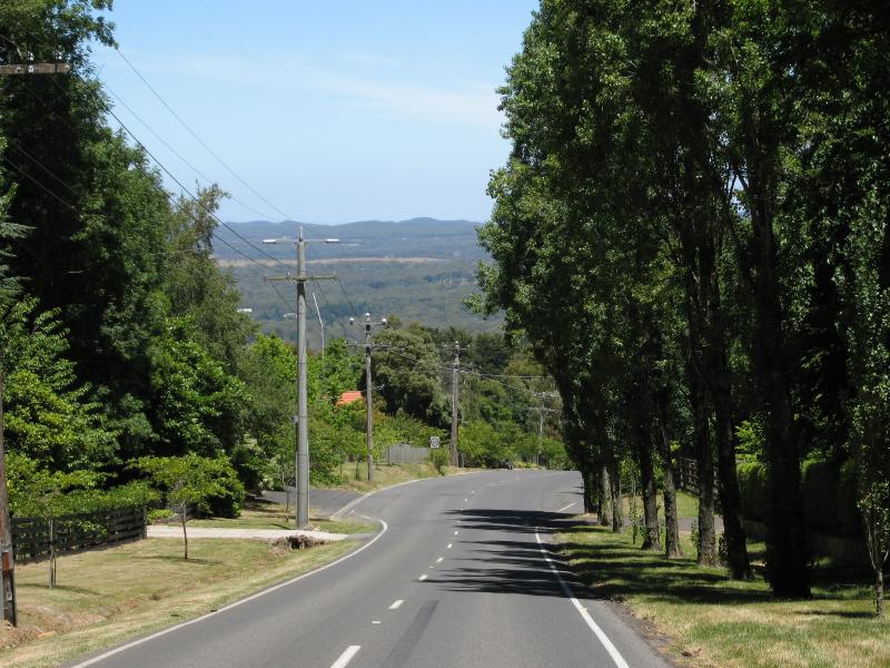
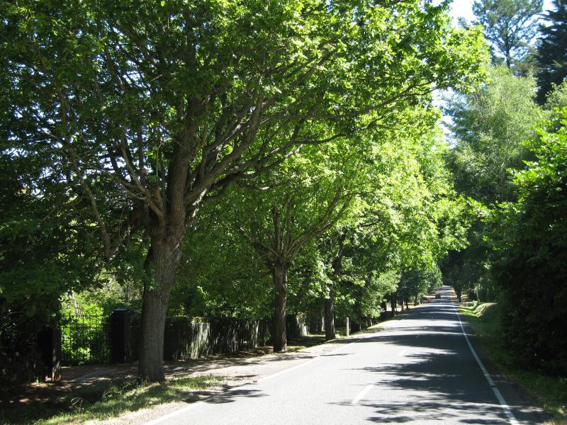
 Mount Macedon Road - View north along Mt Macedon Rd, north of Devonshire La
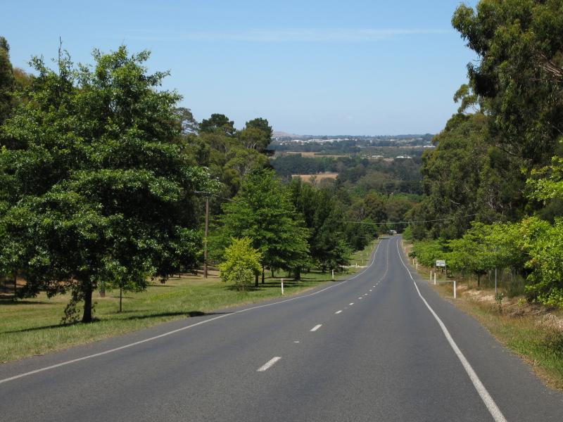
 Mount Macedon Road - View south along Mt Macedon Rd, south of Sangsters Rd
 Mount Macedon Road - View south along Mt Macedon Rd at Cameron Dr
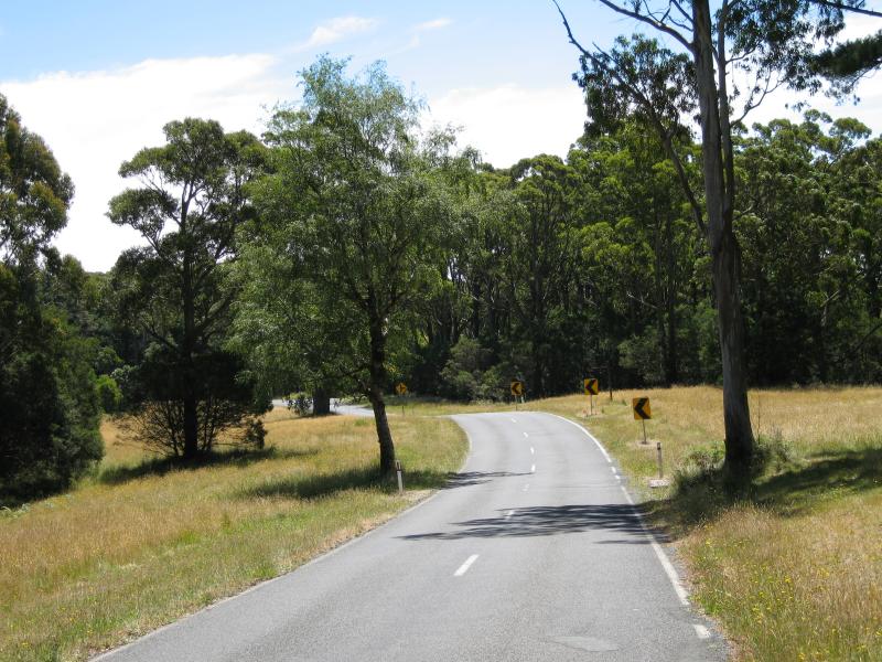
 Mount Macedon Road - View south along Mt Macedon Rd towards Cameron Dr
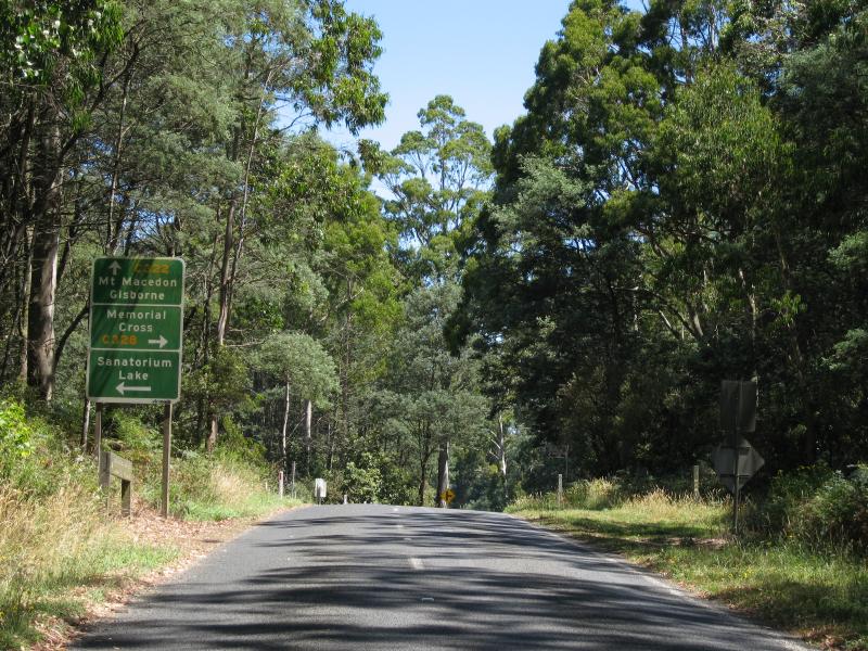
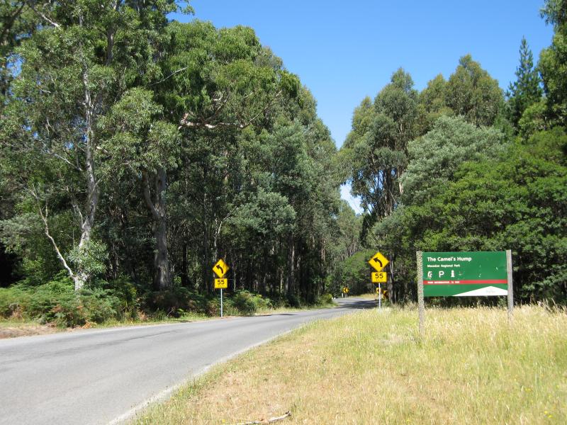
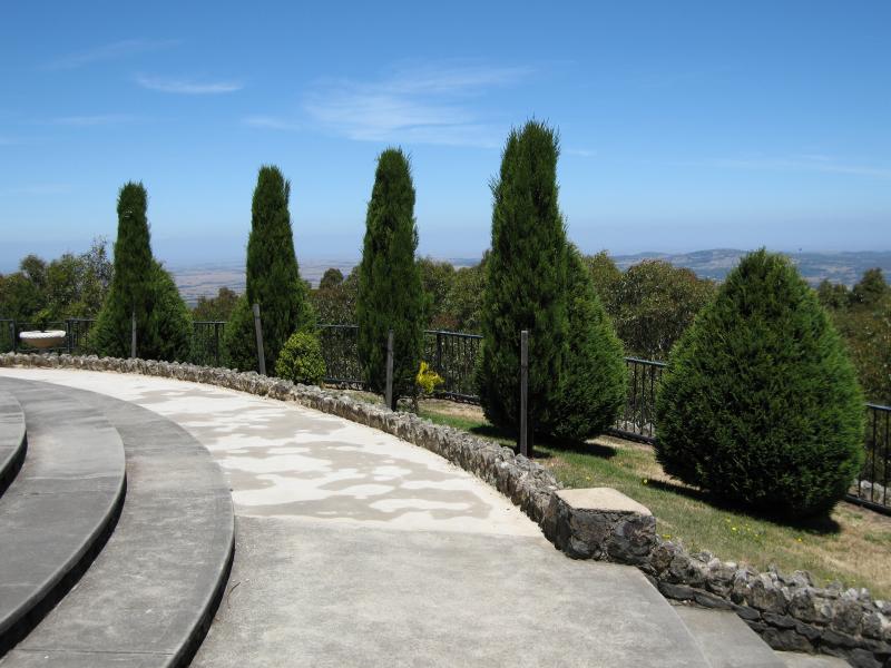
 Camels Hump, Cameron Drive - View north-west along Cameron Dr, north-west of Camels Hump car park
 Camels Hump, Cameron Drive - View east along Cameron Dr at Camels Hump car park
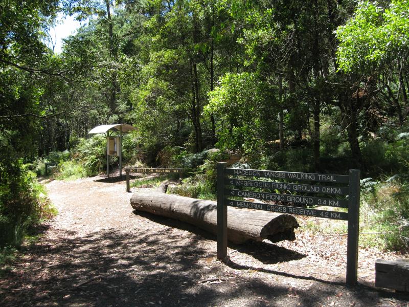 Camels Hump, Cameron Drive - Macedon Ranges Walking Trail at car park
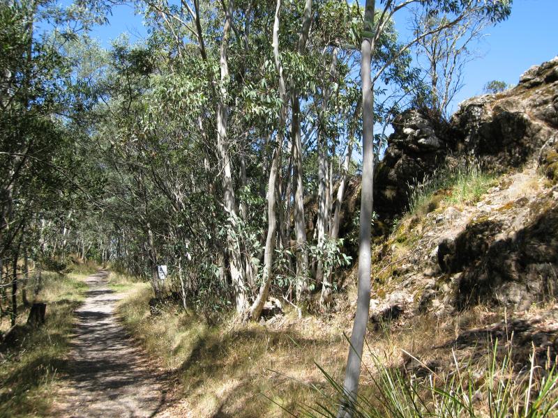
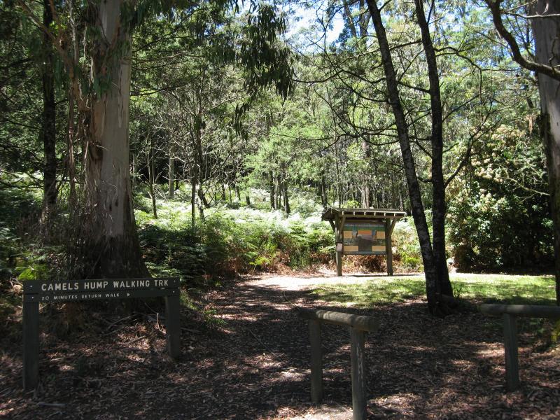 Camels Hump, Cameron Drive - Path to Camels Hump summit at car park
 Camels Hump, Cameron Drive - Path to summit
 Camels Hump, Cameron Drive - Path approaching summit
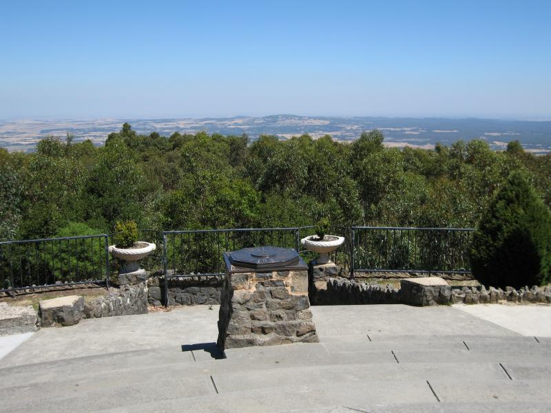
 Camels Hump, Cameron Drive - View towards lookout platform at summit
 Camels Hump, Cameron Drive - North-easterly view at lookout platform at summit
 Camels Hump, Cameron Drive - View north-east at summit
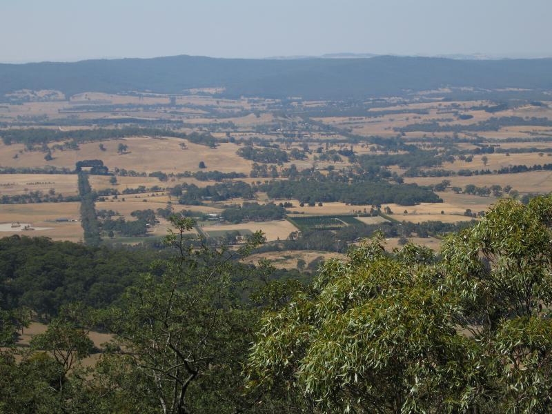
 Camels Hump, Cameron Drive - View north at summit
 Camels Hump, Cameron Drive - View north at summit
 Camels Hump, Cameron Drive - View north at summit
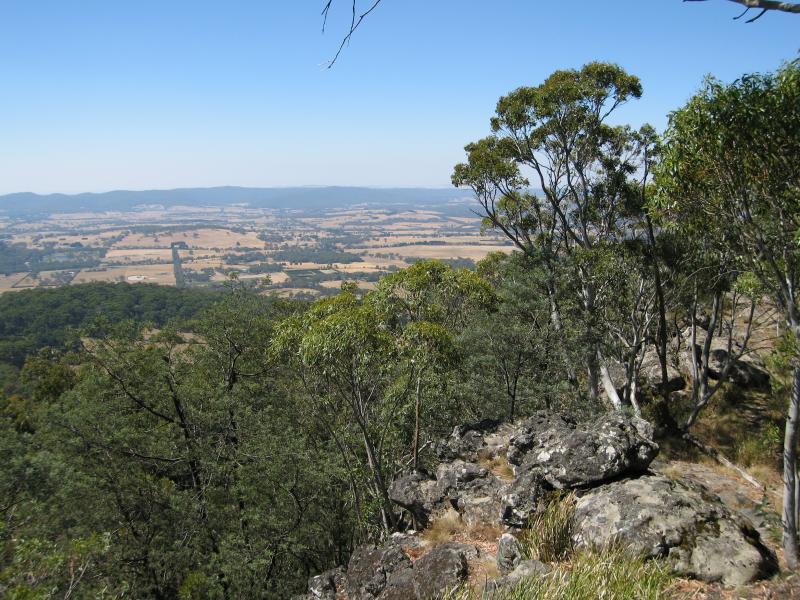
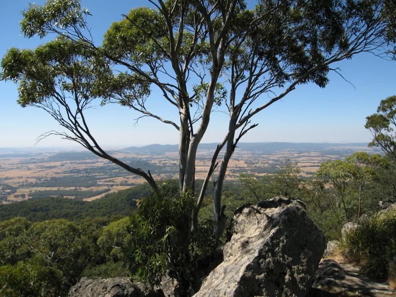
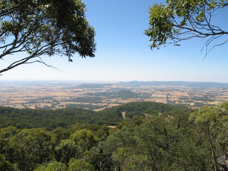
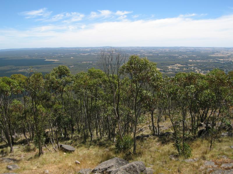
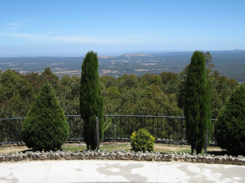
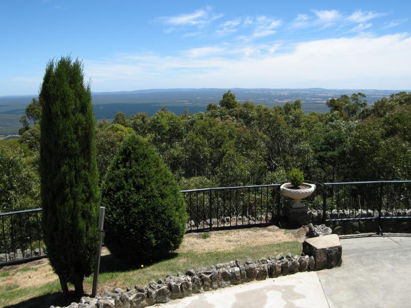
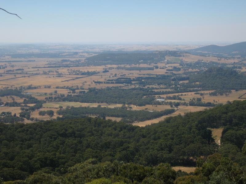 Camels Hump, Cameron Drive - View north-west at summit
 Camels Hump, Cameron Drive - View north-west at summit
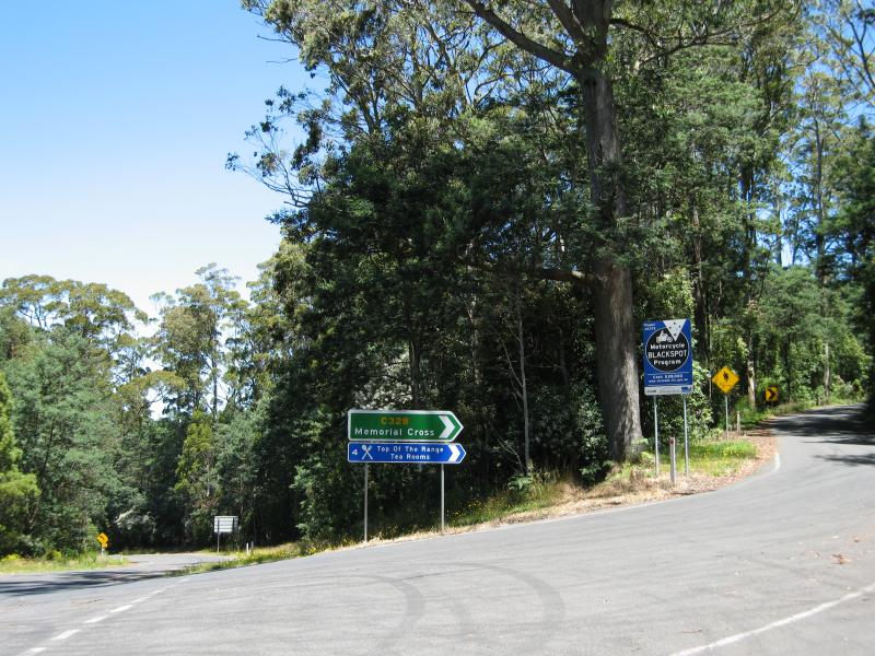
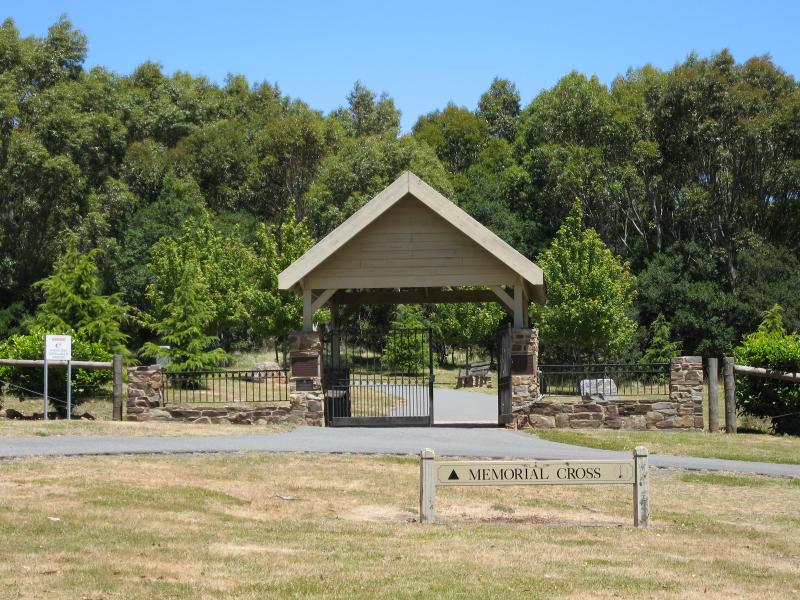
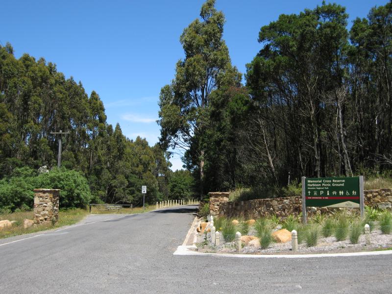 Memorial Cross, end of Cameron Drive - View south along Cameron Dr at entrance to Memorial Cross Reserve
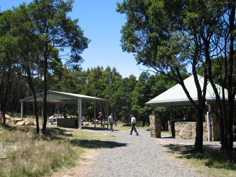 Memorial Cross, end of Cameron Drive - Harbison Picnic Ground
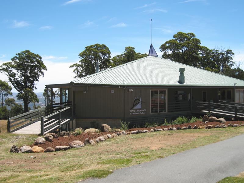 Memorial Cross, end of Cameron Drive - Top Of The Range Tea Rooms & Gallery
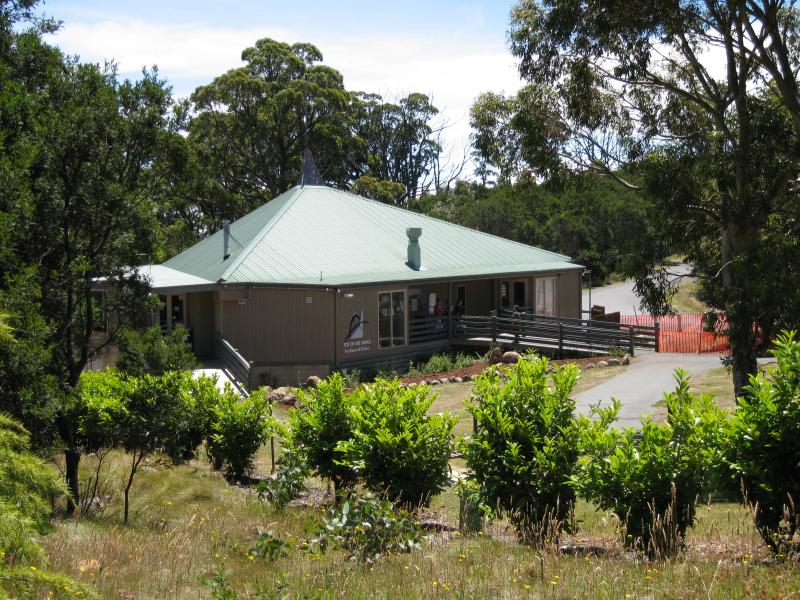 Memorial Cross, end of Cameron Drive - View of tea rooms from start of path to memorial cross
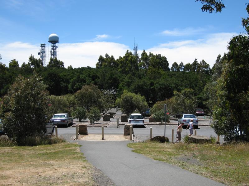 Memorial Cross, end of Cameron Drive - View north towards car park from start of path to memorial cross
 Memorial Cross, end of Cameron Drive - Information shelter at start of path to memorial cross
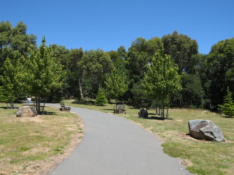 Memorial Cross, end of Cameron Drive - View south along path to memorial cross
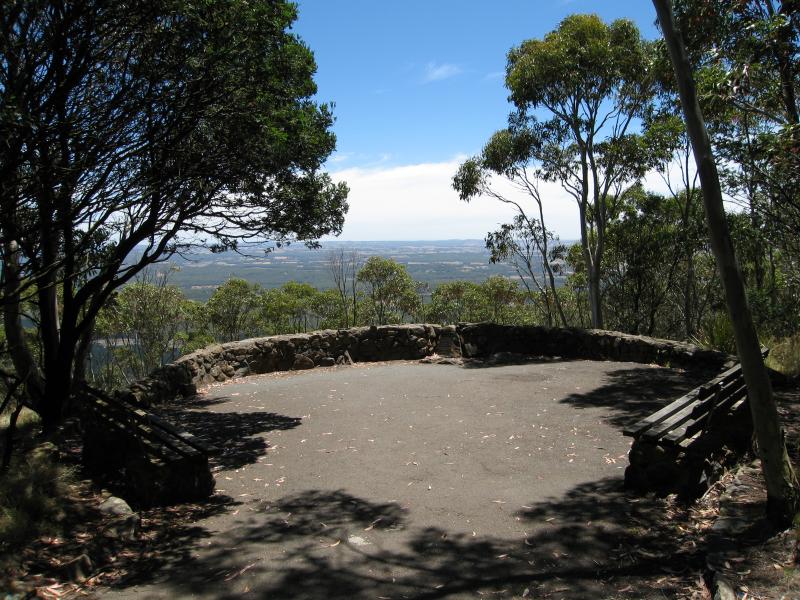 Memorial Cross, end of Cameron Drive - Major Mitchell Lookout
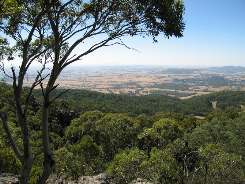
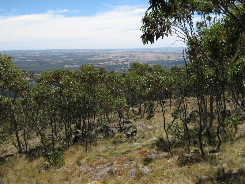 Memorial Cross, end of Cameron Drive - View north-west at Major Mitchell Lookout
 Memorial Cross, end of Cameron Drive - Vie north-west at Major Mitchell Lookout
 Memorial Cross, end of Cameron Drive - View south along path, approaching memorial cross
 Memorial Cross, end of Cameron Drive - View south along path, approaching memorial cross
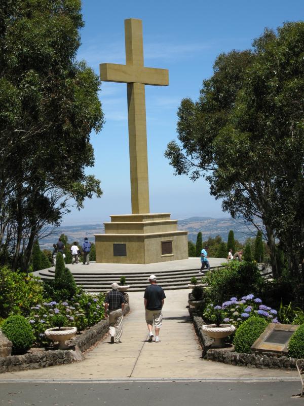 Memorial Cross, end of Cameron Drive - View south along path, approaching memorial cross
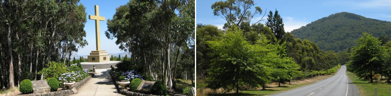
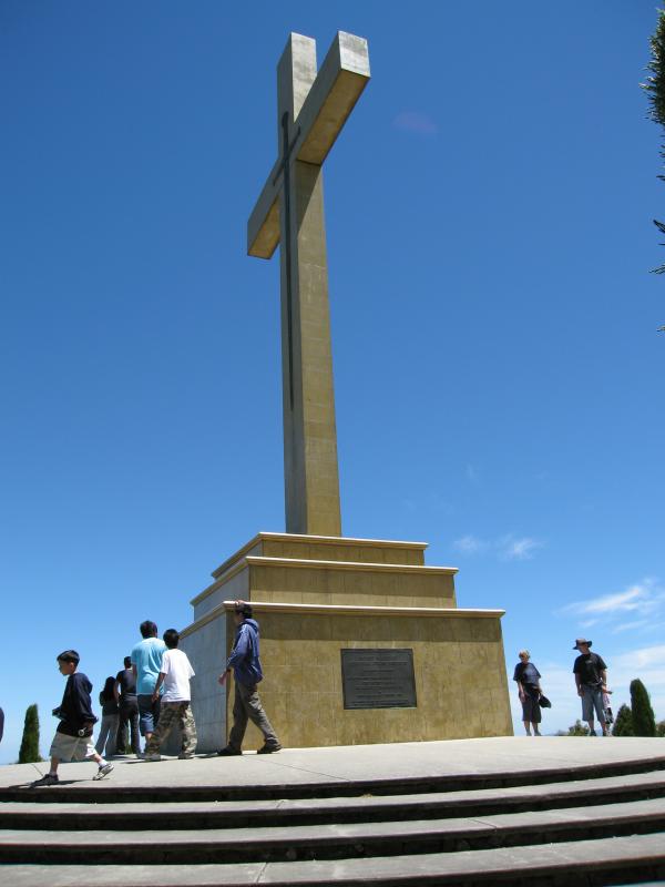 Memorial Cross, end of Cameron Drive - Memorial cross
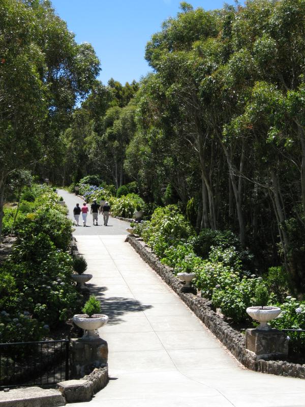 Memorial Cross, end of Cameron Drive - View north along path at memorial cross
 Memorial Cross, end of Cameron Drive - View south at memorial cross
 Memorial Cross, end of Cameron Drive - View south at memorial cross
 Memorial Cross, end of Cameron Drive - View south-west at memorial cross
 Memorial Cross, end of Cameron Drive - View east at memorial cross
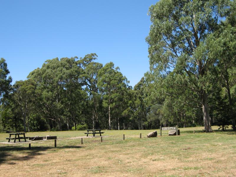 Sanatorium Lake and surrounds, Lions Head Road - Days Picnic Ground
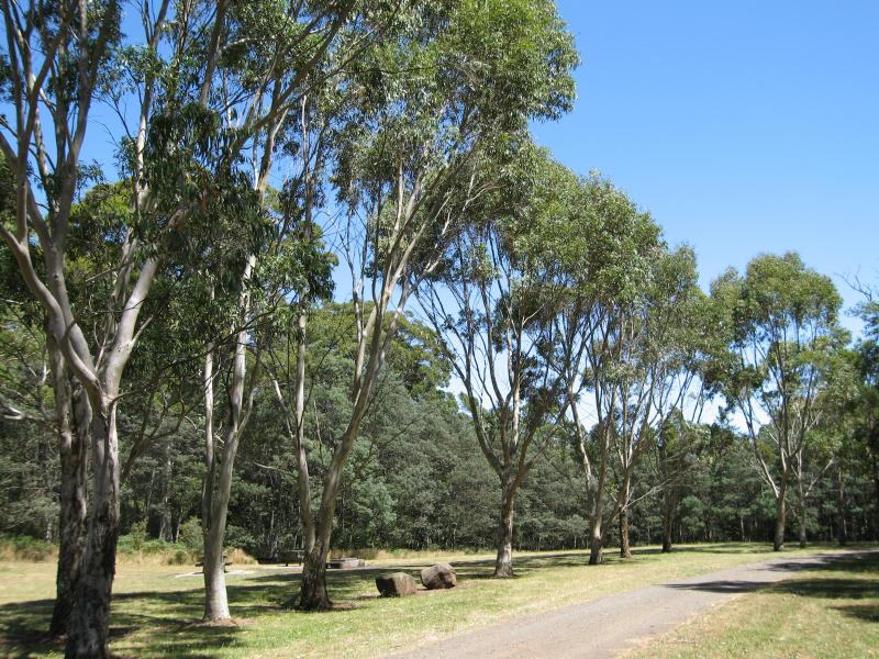 Sanatorium Lake and surrounds, Lions Head Road - Days Picnic Ground
 Sanatorium Lake and surrounds, Lions Head Road - View along Lions Head Rd at Sanatorium Lake car park
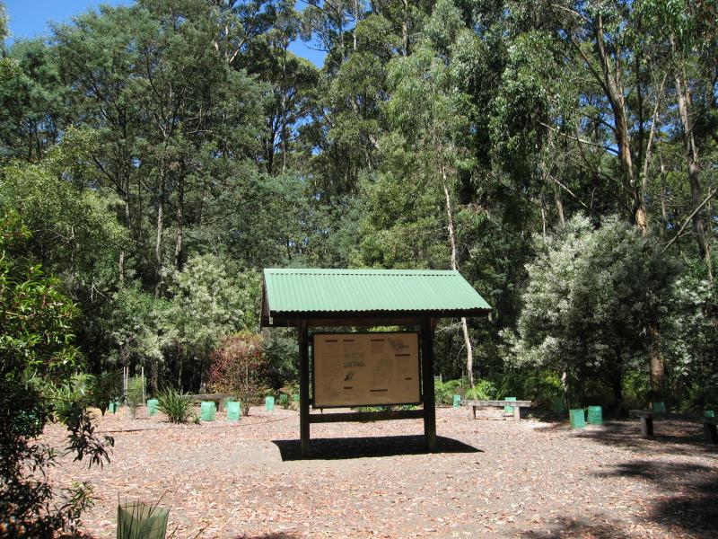 Sanatorium Lake and surrounds, Lions Head Road - Information shelter at Sanatorium Lake
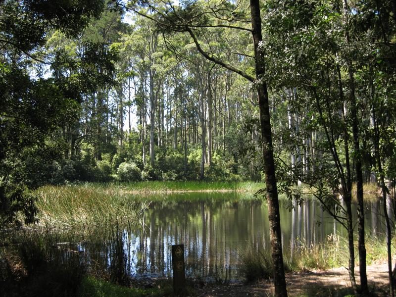 Sanatorium Lake and surrounds, Lions Head Road - Sanatorium Lake
 Sanatorium Lake and surrounds, Lions Head Road - Sanatorium Lake
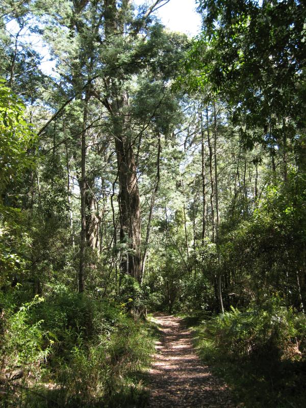 Sanatorium Lake and surrounds, Lions Head Road - View along walking trail near lake
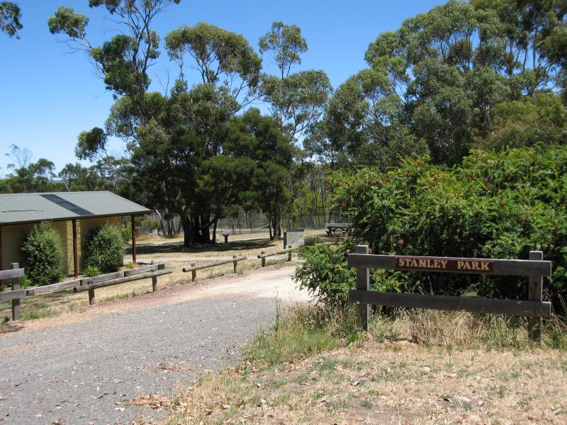 Stanley Park, Salisbury Road - Entrance to Stanley Park at Bingarra La
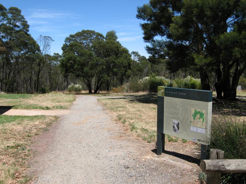 Stanley Park, Salisbury Road - Path from car park at Bingarra La entrance
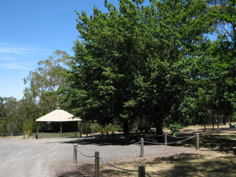 Stanley Park, Salisbury Road - Car park, Stanley Park at Salisbury Rd entrance
 Stanley Park, Salisbury Road - Picnic area at car park, Salisbury Rd entrance
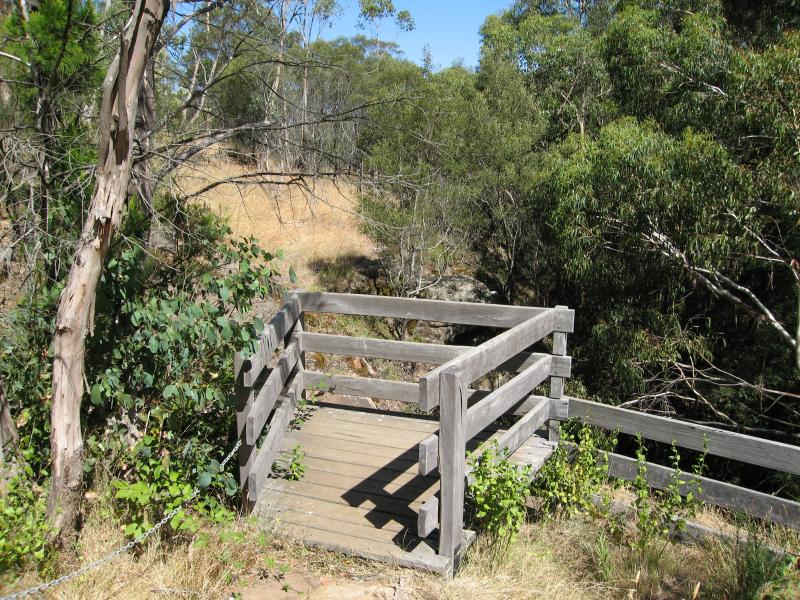 Stanley Park, Salisbury Road - Viewing platform at top of waterfall
 Stanley Park, Salisbury Road - View across Turitable Creek at top of waterfall
 Stanley Park, Salisbury Road - Path at base of falls
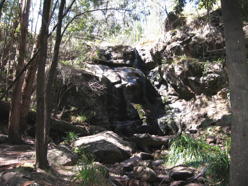 Stanley Park, Salisbury Road - View of falls from base