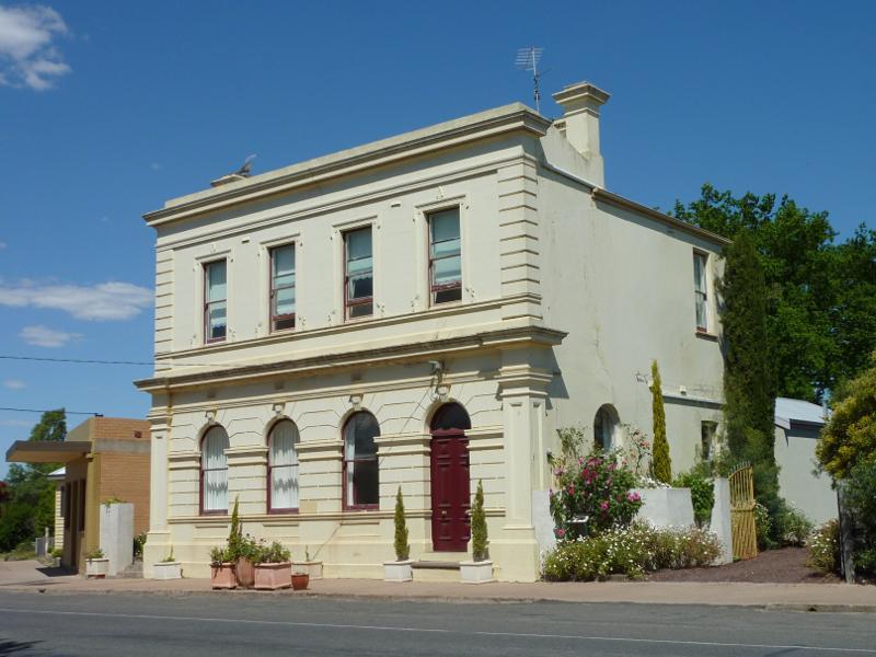
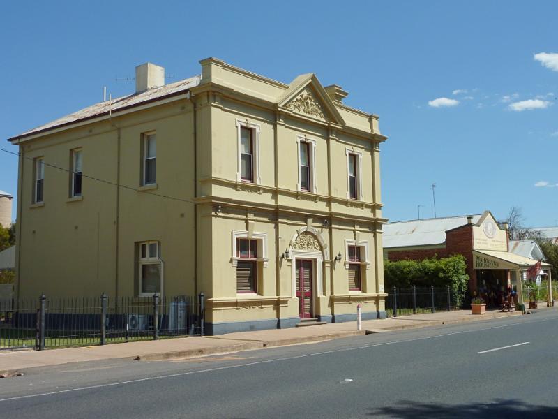
Shops and commercial centre, Main Street between Lake Road and Sisson Street - Court house, corner Main St and Lake Rd
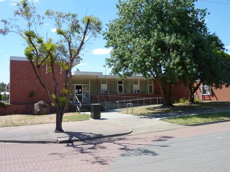
Shops and commercial centre, Main Street between Lake Road and Sisson Street - Council offices, Main St west of Lake Rd
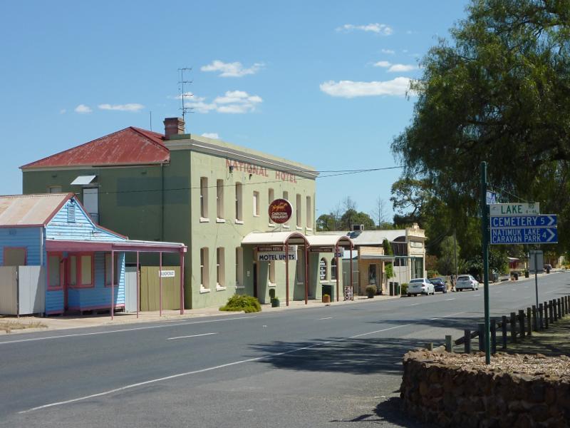
Shops and commercial centre, Main Street between Lake Road and Sisson Street - View south-west along Main St at Lake Rd towards National Hotel
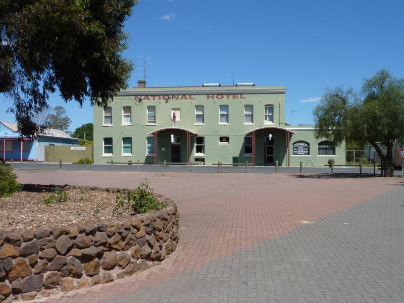
Shops and commercial centre, Main Street between Lake Road and Sisson Street - View south across Main St towards National Hotel
Shops and commercial centre, Main Street between Lake Road and Sisson Street - General Store, Main St opposite Lake Av
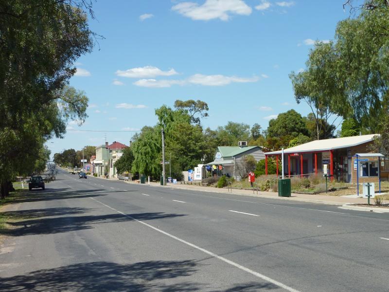
Shops and commercial centre, Main Street between Lake Road and Sisson Street - View north-east along Main St at Jory St towards post office
Shops and commercial centre, Main Street between Lake Road and Sisson Street - View south-west along Main St towards Jory St
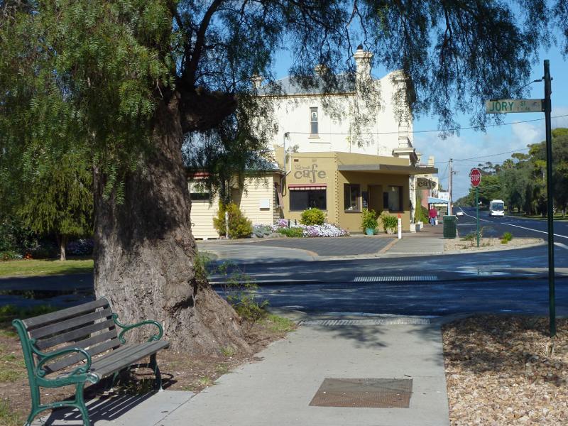
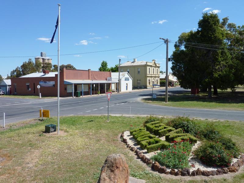
Shops and commercial centre, Main Street between Lake Road and Sisson Street - Southern side of Main St at Jory St
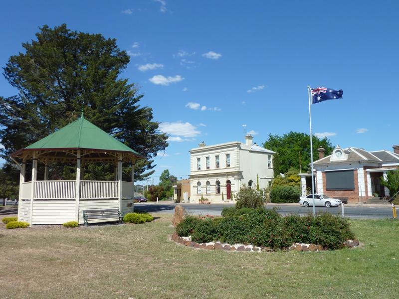
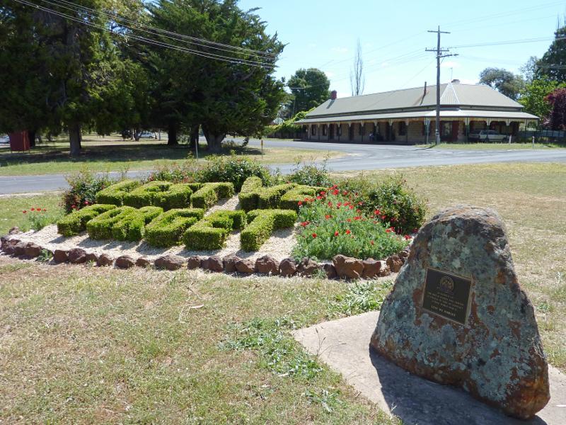
Shops and commercial centre, Main Street between Lake Road and Sisson Street - Rotunda and gardens, view north-east along Main St at Elmes St
Shops and commercial centre, Main Street between Lake Road and Sisson Street - View south-west along Main St towards Elmes St
Shops and commercial centre, Main Street between Lake Road and Sisson Street - War memorial and garden, view south-west along Main St at Elmes St
Shops and commercial centre, Main Street between Lake Road and Sisson Street - Buildings along south side of Main St, west of Schmidt St
Shops and commercial centre, Main Street between Lake Road and Sisson Street - View north-east along Main St towards Schmidt St
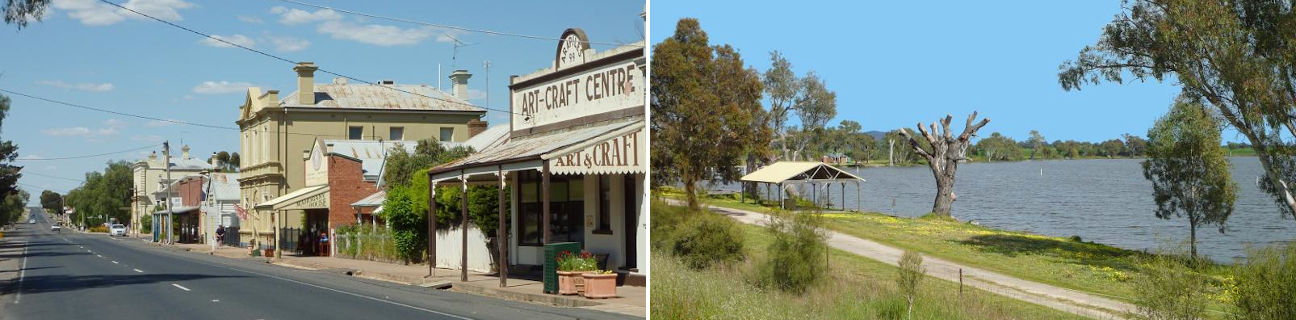
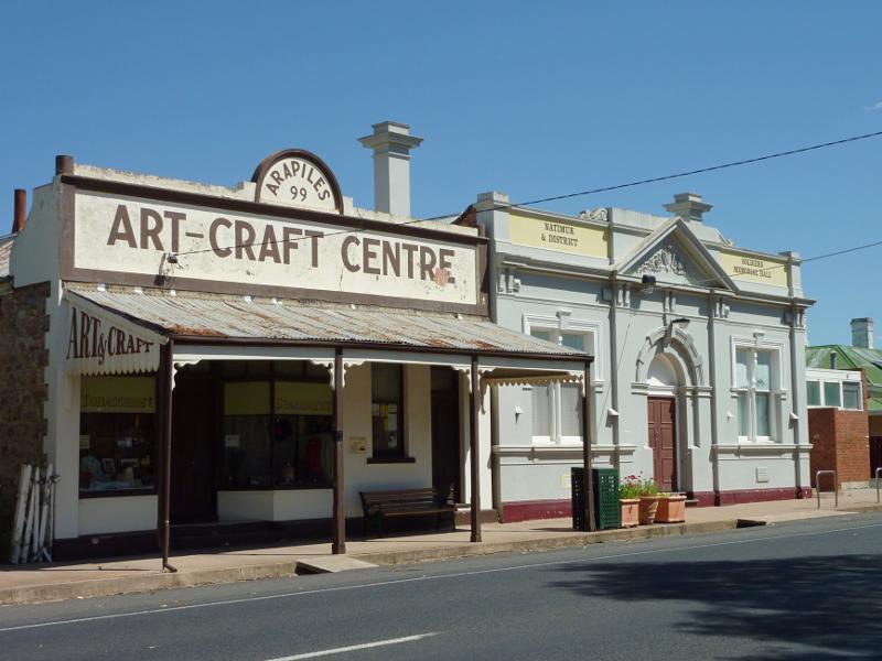
Shops and commercial centre, Main Street between Lake Road and Sisson Street - Art-Craft Centre and Soldiers Memorial Hall, Main St between Schmidt St and Sisson St
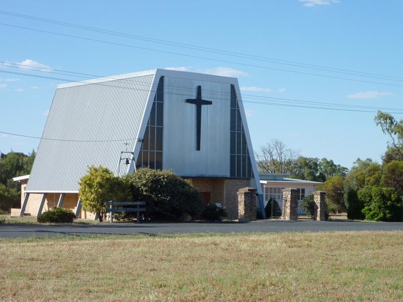
Around Natimuk - St Paul's Lutheran Church, Main St between Sisson St and Schurmann St
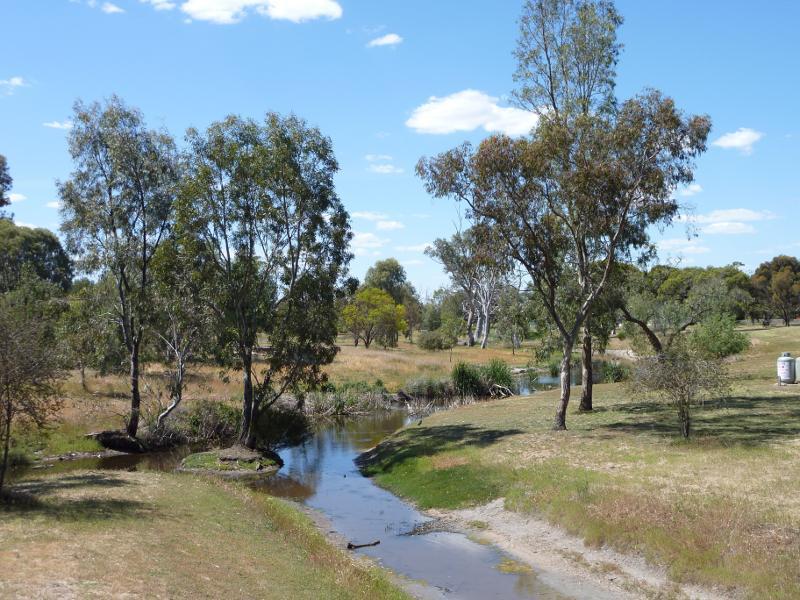
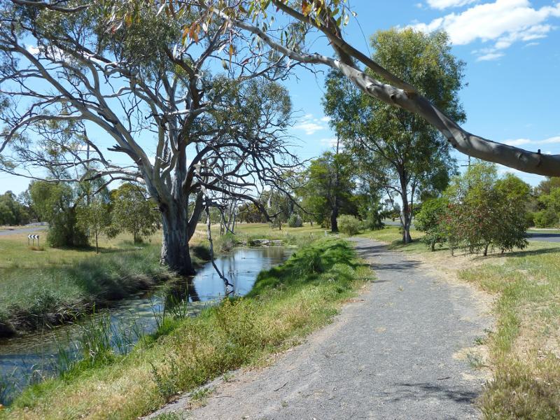
Park along Natimuk Creek, north side of Main Street and Wimmera Highway - View north along Little Natimuk Creek towards Natimuk Creek from footbridge
Park along Natimuk Creek, north side of Main Street and Wimmera Highway - Footbridge over Little Natimuk Creek
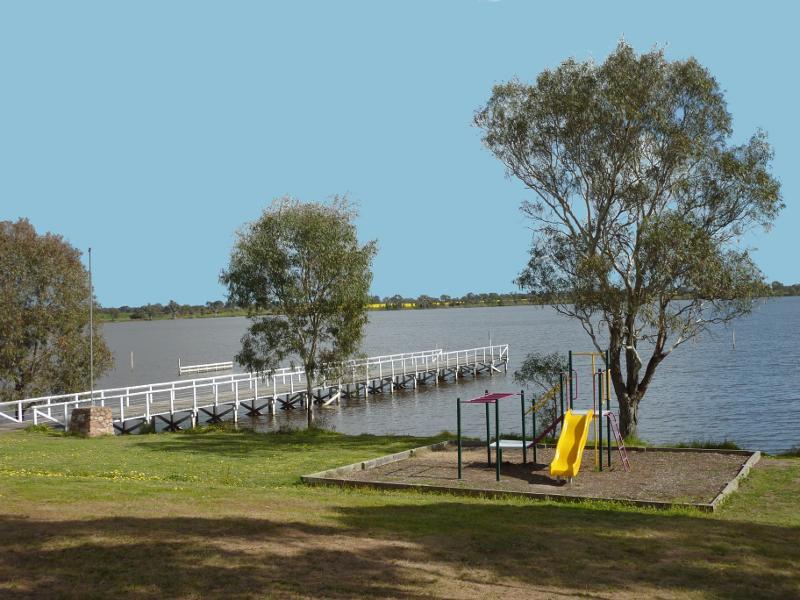
Park along Natimuk Creek, north side of Main Street and Wimmera Highway - Playground near Lake Av
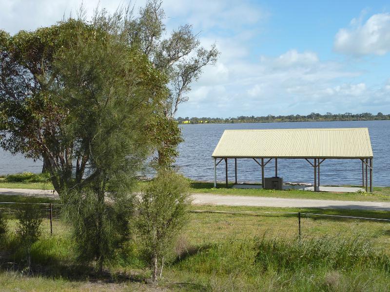
Park along Natimuk Creek, north side of Main Street and Wimmera Highway - Shelter and BBQ area, corner Main St and Lake Av
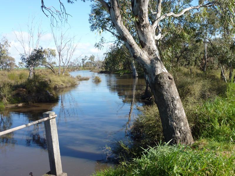
Park along Natimuk Creek, north side of Main Street and Wimmera Highway - View north-east along Natimuk Creek at Lake Av
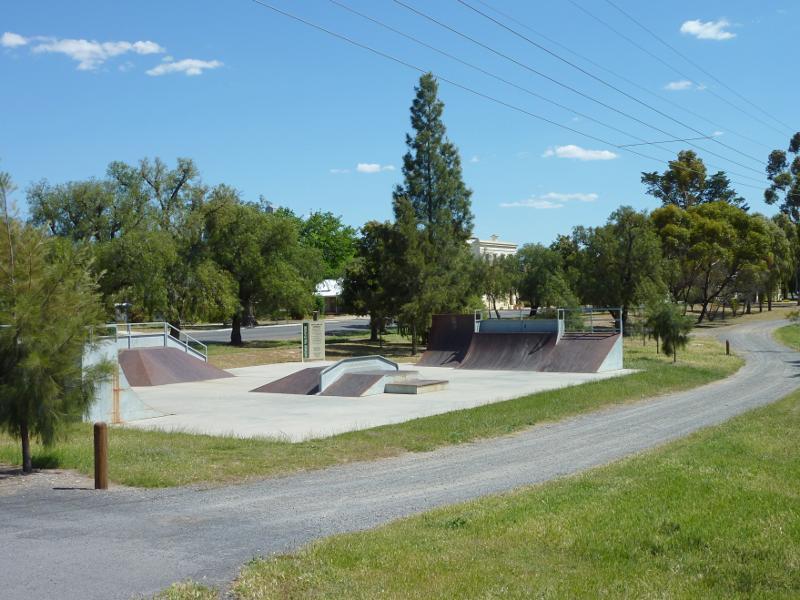
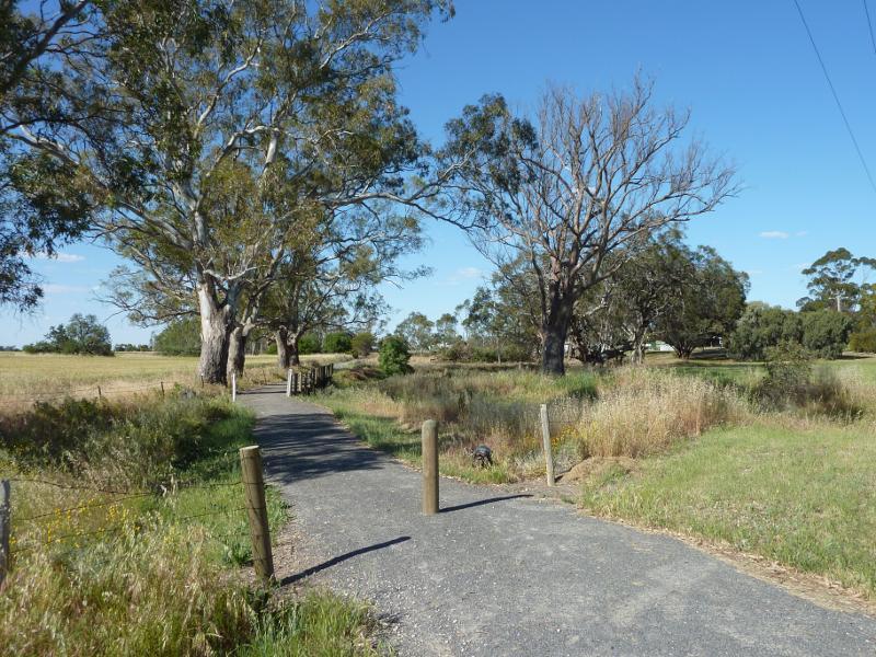
Park along Natimuk Creek, north side of Main Street and Wimmera Highway - Skate park, corner Main St and Lake Av
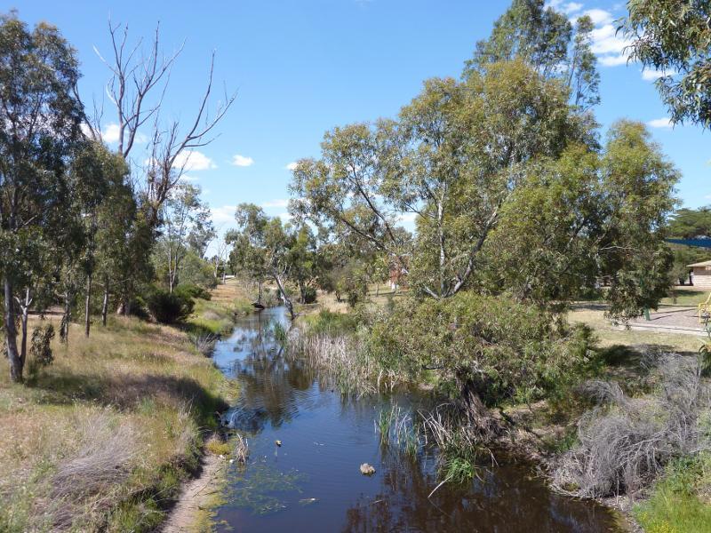
Park along Natimuk Creek, north side of Main Street and Wimmera Highway - View north-east along track beside Natimuk Creek near bridge at Wimmera Hwy
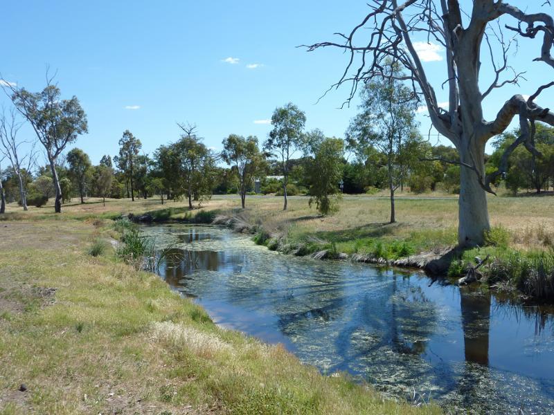
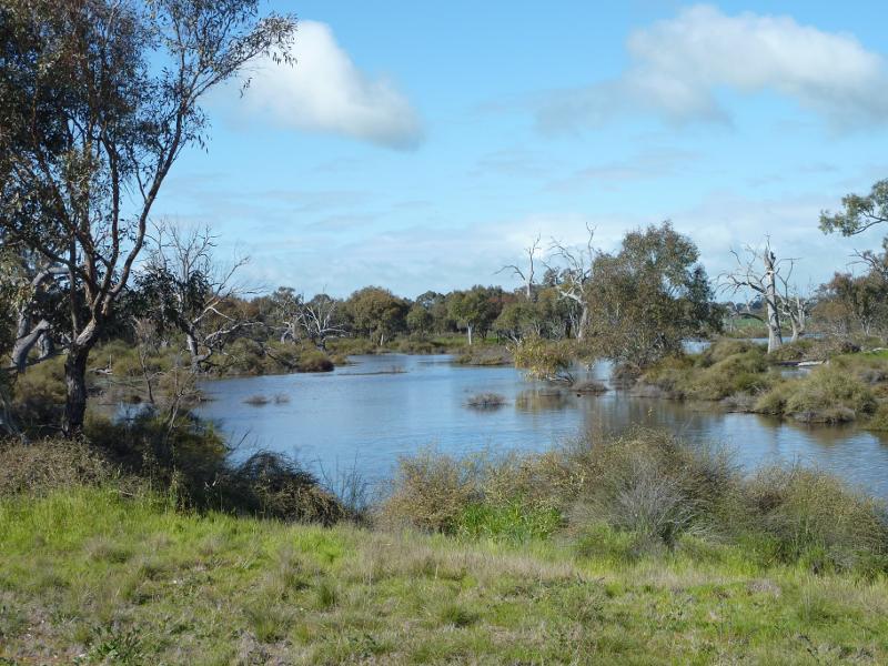
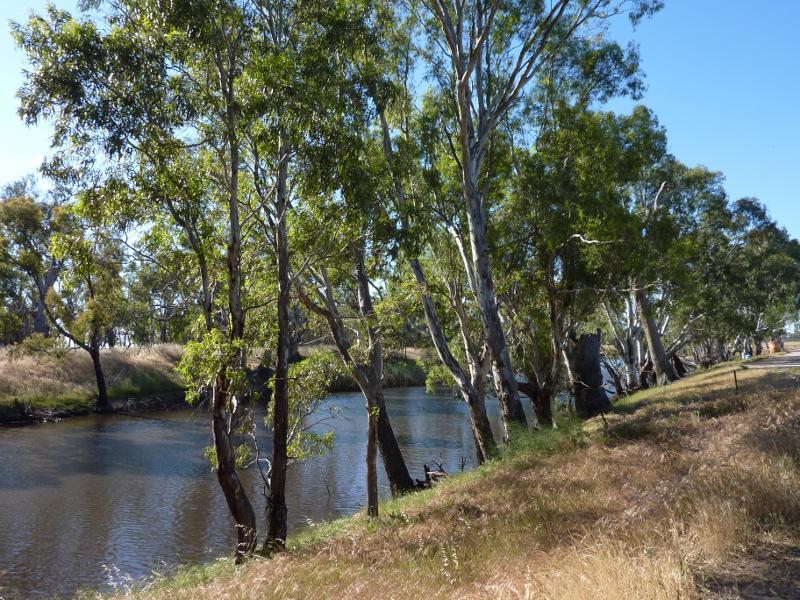
Lake Road along Natimuk Creek - View north-east along Natimuk Creek, Lake Rd south of Mitchell St
Lake Road along Natimuk Creek - View south-west along Natimuk Creek, Lake Rd south of Mitchell St
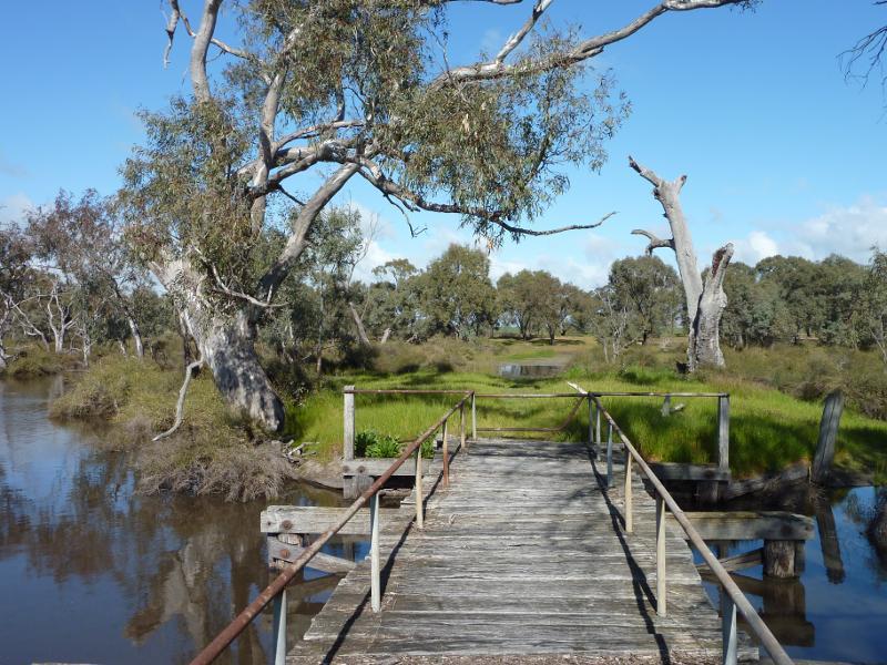
Lake Road along Natimuk Creek - View south-west across footbridge over Natimuk Creek, north of Depot La
Lake Road along Natimuk Creek - View north-west along Natimuk Creek at footbridge north of Depot La
Lake Road along Natimuk Creek - View north-west along Lake Rd, south of Natimuk Cemetery Rd
Lake Road along Natimuk Creek - Southerly view along Natimuk Creek, south of Natimuk Cemetery Rd
Lake Road along Natimuk Creek - View south-east along Lake Rd, south of Natimuk Cemetery Rd
Lake Natimuk around caravan park, Lake Road near Natimuk Cemetery Road - Jetty and playground
Lake Natimuk around caravan park, Lake Road near Natimuk Cemetery Road - View south-west along lake foreshore towards jetty
Lake Natimuk around caravan park, Lake Road near Natimuk Cemetery Road - View across lake at BBQ shelter
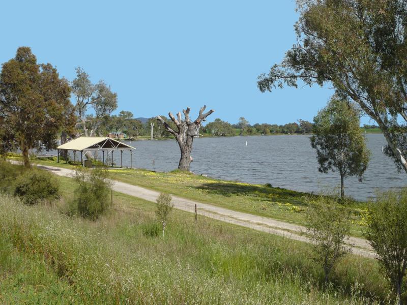
Lake Natimuk around caravan park, Lake Road near Natimuk Cemetery Road - View south-west along lake foreshore towards BBQ shelter
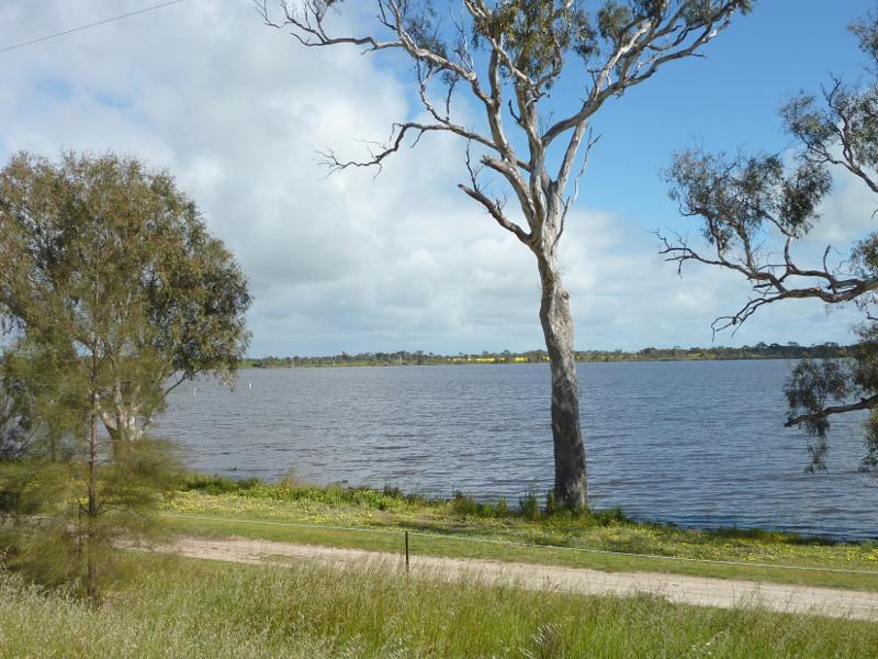
Lake Natimuk around caravan park, Lake Road near Natimuk Cemetery Road - View north-west across lake, north of BBQ shelter
Lake Natimuk along Lake Road north of Natimuk Cemetery Road - Westerly view across lake at boat ramp
Lake Natimuk along Lake Road north of Natimuk Cemetery Road - View south-west across lake from boat ramp
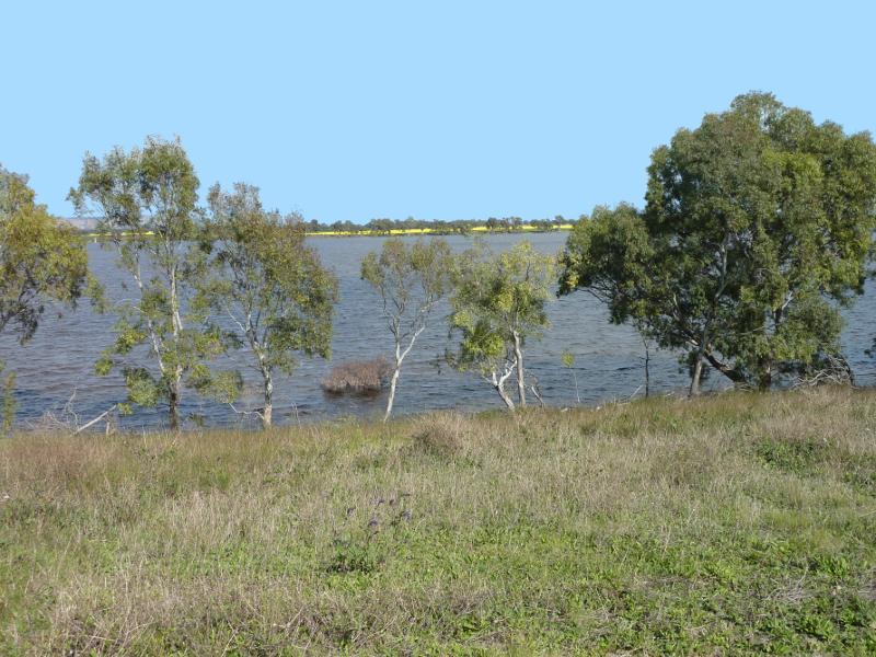
Lake Natimuk along Lake Road north of Natimuk Cemetery Road - South-westerly view across lake, south of Natimuk Lake School Rd
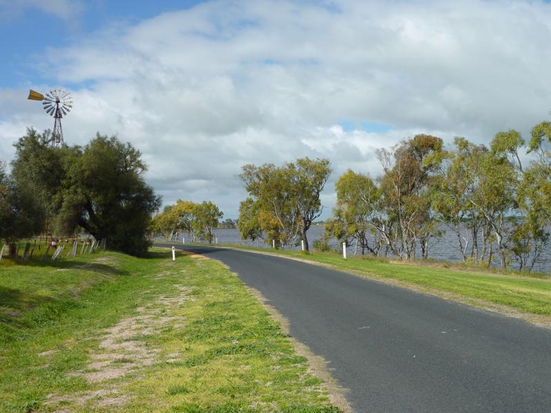
Lake Natimuk along Lake Road north of Natimuk Cemetery Road - View south along Lake Rd, south of Natimuk Lake School Rd
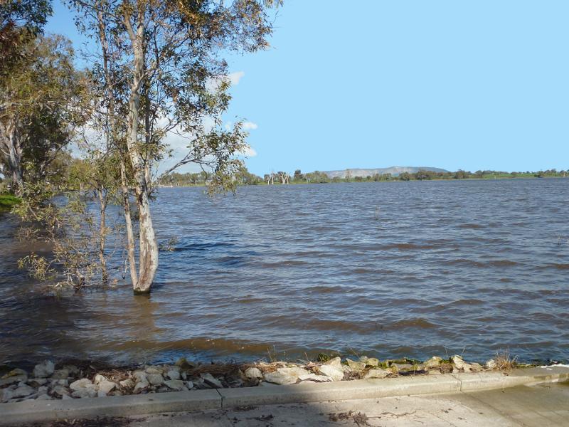
Lake Natimuk along Lake Road north of Natimuk Cemetery Road - Westerly view across lake opposite Natimuk Lake School Rd
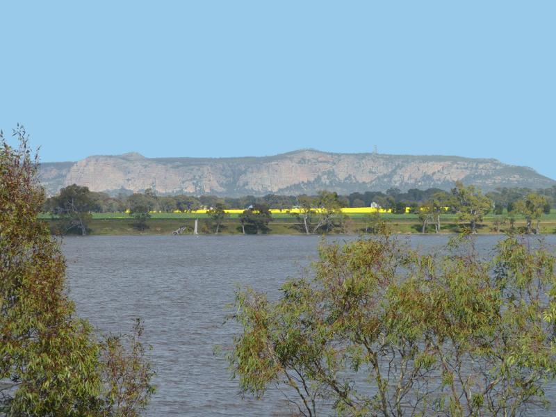
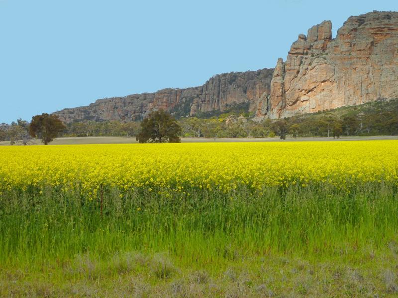
Lake Natimuk along Lake Road north of Natimuk Cemetery Road - South-westerly view towards Mt Arapiles opposite Natimuk Lake School Rd
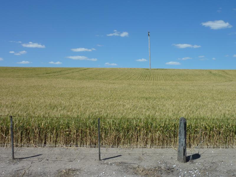
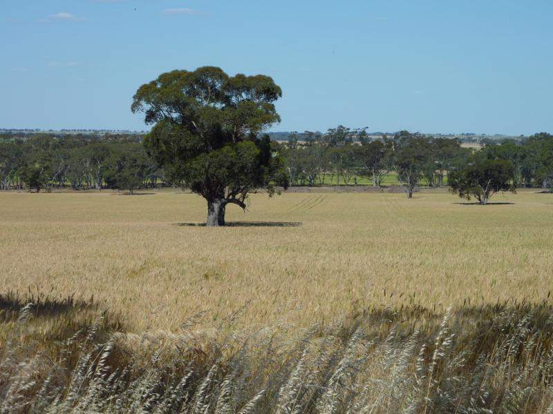
Lake Natimuk along Lake Road north of Natimuk Cemetery Road - Wheat fields on east side of Lake Rd north of Natimuk Lake School Rd
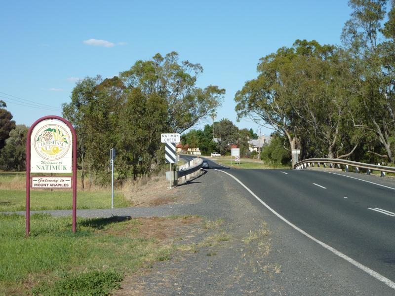
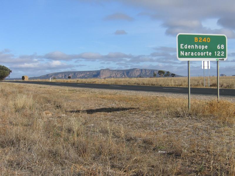
Wimmera Highway, east of Natimuk - Natimuk town sign, view south-west along Wimmera Hwy
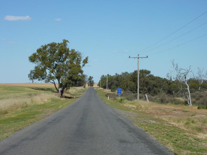
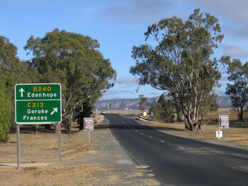
Wimmera Highway, east of Natimuk - View south-west along Wimmera Hwy towards Natimuk-Hamilton Rd
Wimmera Highway, east of Natimuk - South-easterly view from Wimmera Hwy east of Natimuk-Hamilton Rd
Wimmera River on northern side of Wimmera Highway, east of Natimuk - View north along river, north of old railway bridge
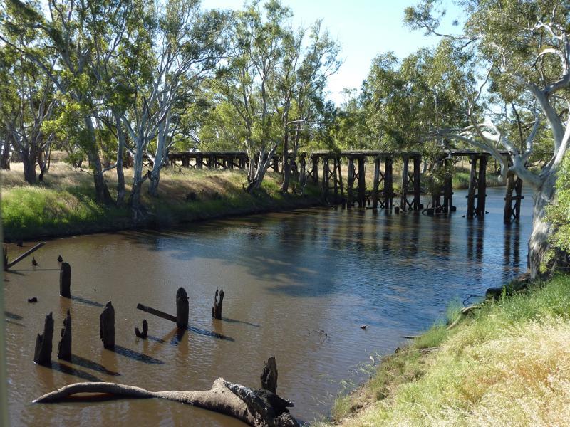
Wimmera River on northern side of Wimmera Highway, east of Natimuk - View north along river towards old railway bridge
Wimmera River on northern side of Wimmera Highway, east of Natimuk - View south along river towards Wimmera Hwy bridge
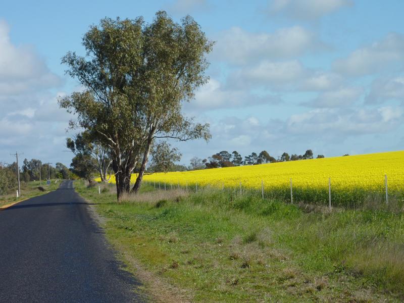
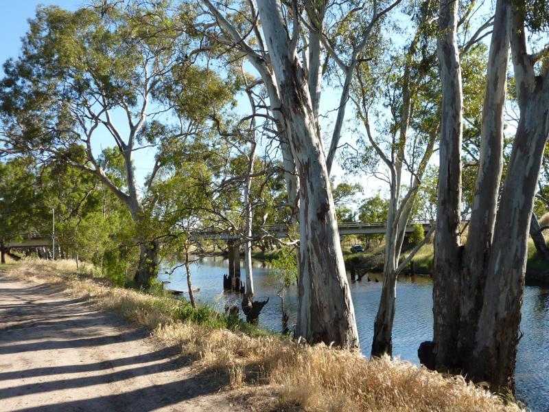
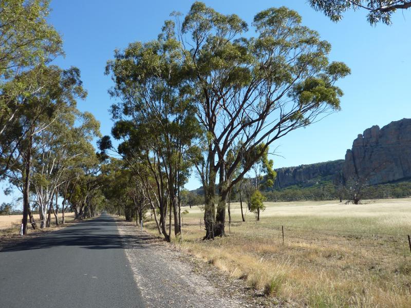
Wimmera Highway, west of Natimuk - View west along Wimmera Hwy towards Natimuk Creek and Natimuk-Frances Rd
Wimmera Highway, west of Natimuk - View east along Wimmera Hwy towards Natimuk Creek
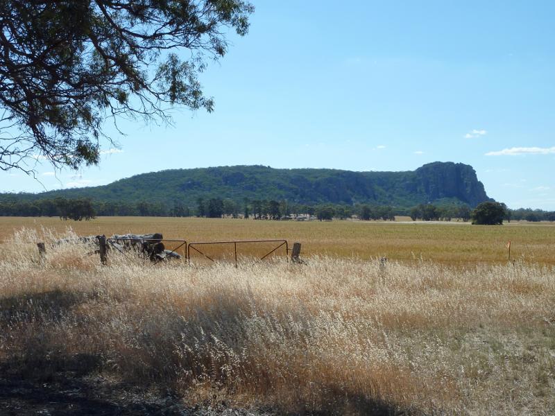
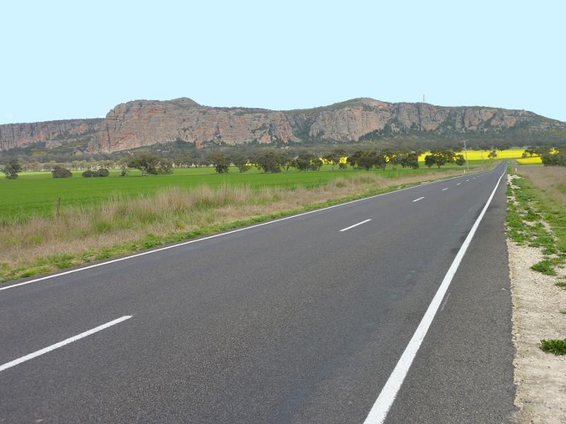
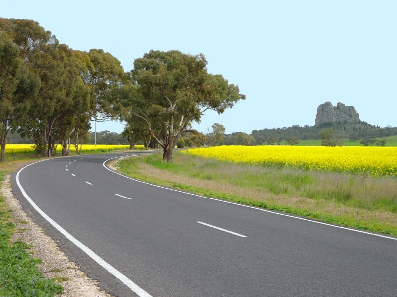
Wimmera Highway, west of Natimuk - View west across Wimmera Hwy towards Mt Arapiles
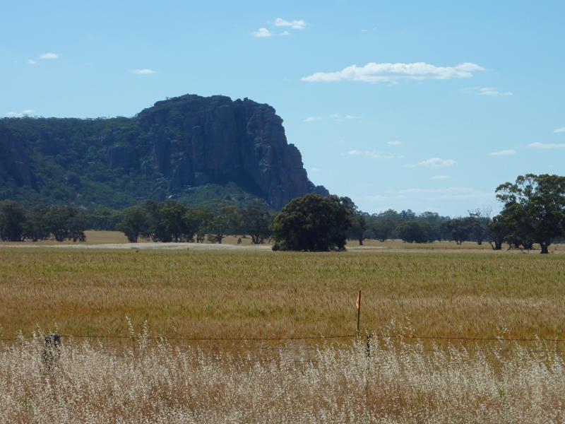
Wimmera Highway, west of Natimuk - View north-west to Mt Arapiles from Wimmera Hwy near Clear Lake-Sherwoods Dam Rd
Wimmera Highway, west of Natimuk - View north-west to peak of Mt Arapiles from Wimmera Hwy near Clear Lake-Sherwoods Dam Rd
Wimmera Highway, west of Natimuk - View north-east along Wimmera Hwy towards Clear Lake-Sherwoods Dam Rd
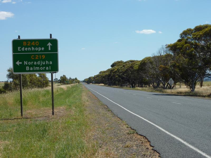
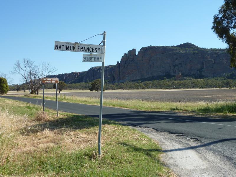
Wimmera Highway, west of Natimuk - View south-west along Wimmera Hwy towards Centenary Park Rd
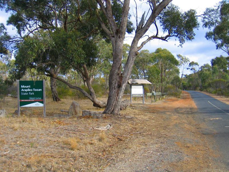
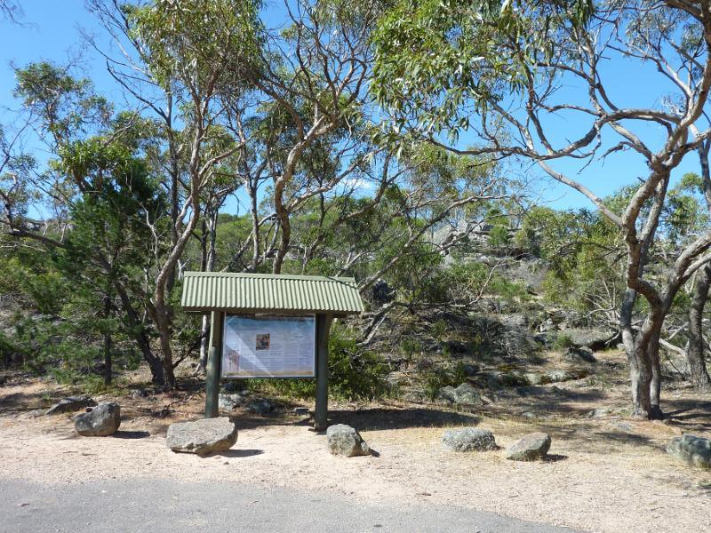
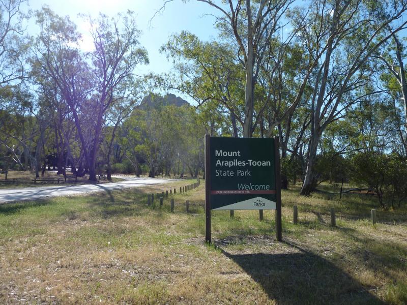
Mount Arapiles Summit Road - Entrance to Mount Arapiles-Tooan State Park, Mt Arapiles Summit Rd at Wimmera Hwy
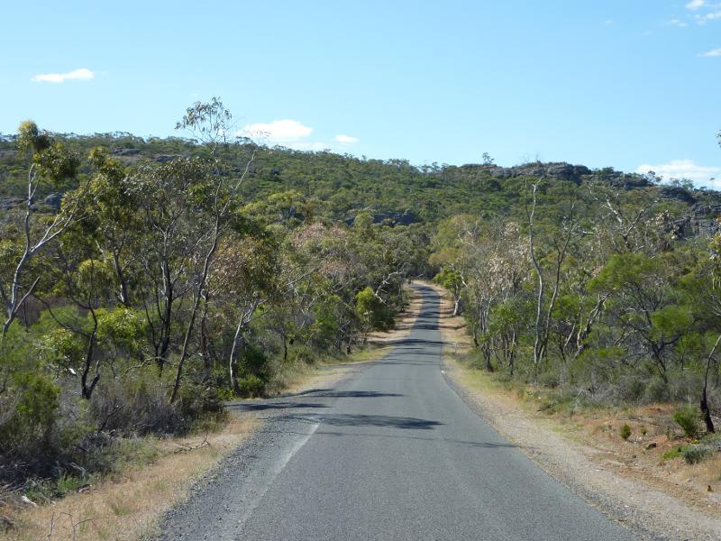
Mount Arapiles Summit Road - View north-west along Mt Arapiles Summit Rd, ascending mountain
Mount Arapiles Summit Road - View south-east along Mt Arapiles Summit Rd, descending mountain
Mount Arapiles - Bluff Picnic Area and lookout - View along access road to picnic area
Mount Arapiles - Bluff Picnic Area and lookout - Car park and picnic area
Mount Arapiles - Bluff Picnic Area and lookout - Lookout viewing deck at car park
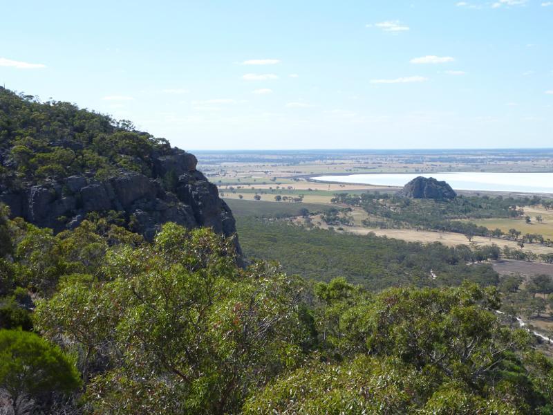
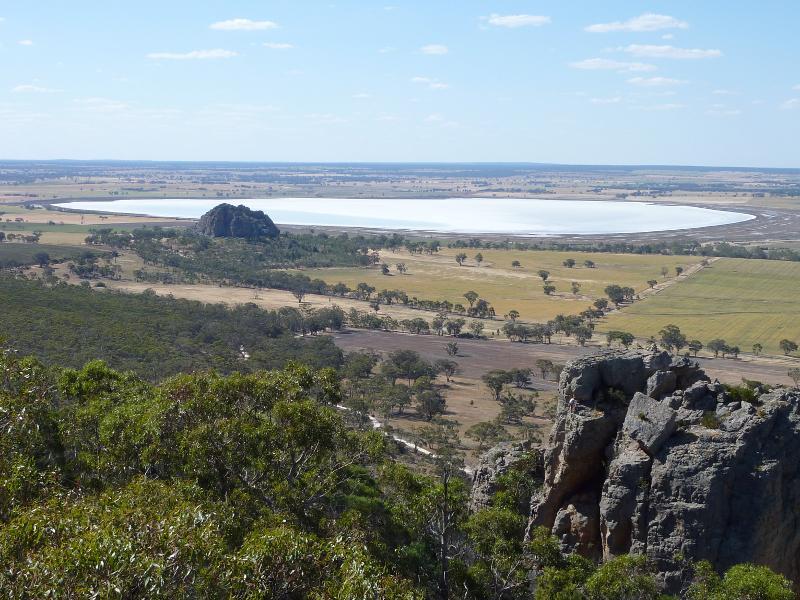
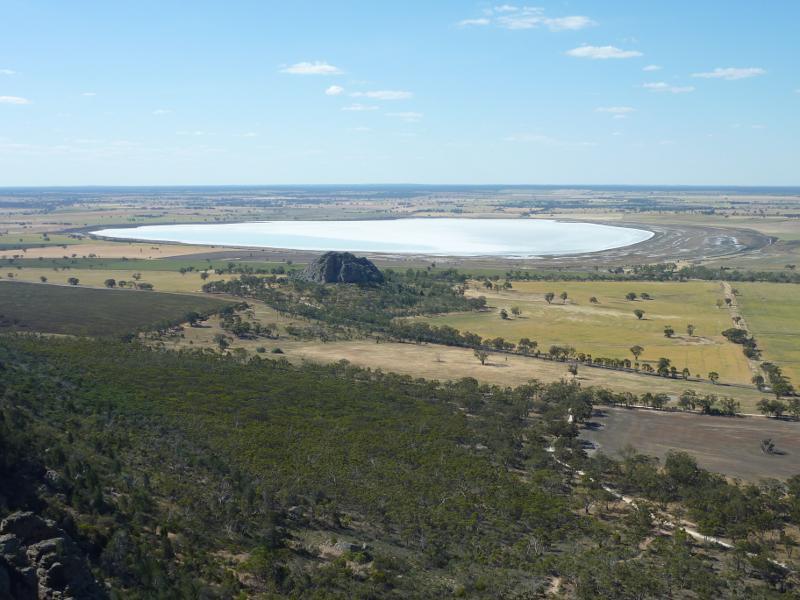
Mount Arapiles - Bluff Picnic Area and lookout - View north-west from lookout towards Mitre Rock and Mitre Lake
Mount Arapiles - Bluff Picnic Area and lookout - View north towards Mitre Rock and Mitre Lake
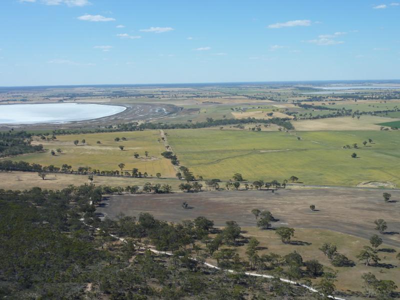
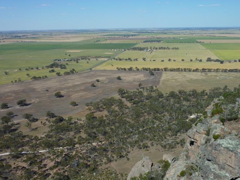
Mount Arapiles - Bluff Picnic Area and lookout - View north-east towards Lake Wyn Wyn
Mount Arapiles - Bluff Picnic Area and lookout - North-easterly view
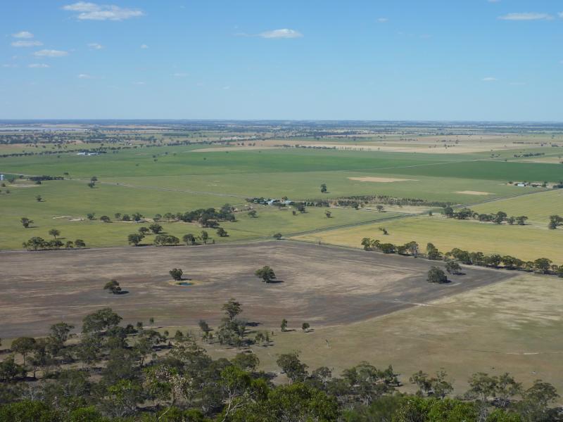
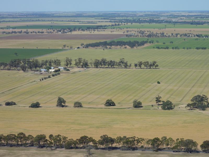
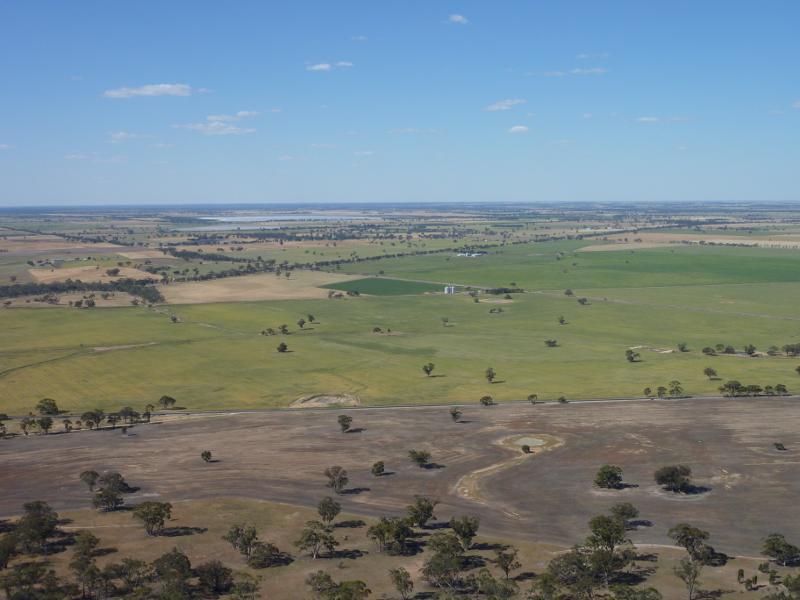
Mount Arapiles - Bluff Picnic Area and lookout - Easterly view
Mount Arapiles - Bluff Picnic Area and lookout - Easterly view
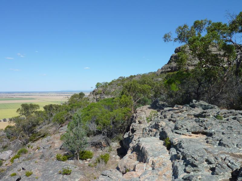
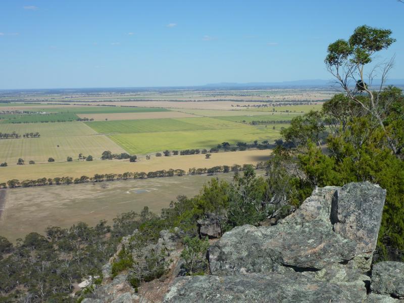
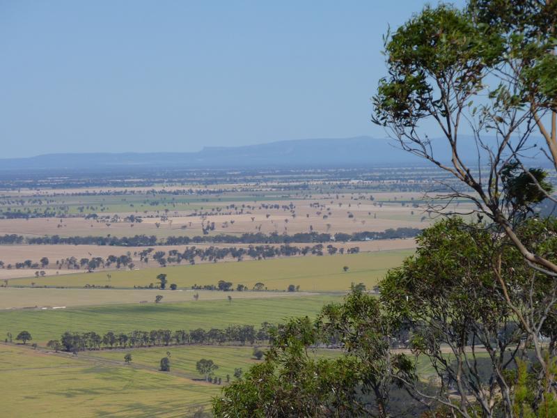
Mount Arapiles - Bluff Picnic Area and lookout - South-easterly view towards the Grampians
Mount Arapiles - Bluff Picnic Area and lookout - Rock formations at lookout
Mount Arapiles - Summit Picnic Area and mountain peak - Picnic area and car park
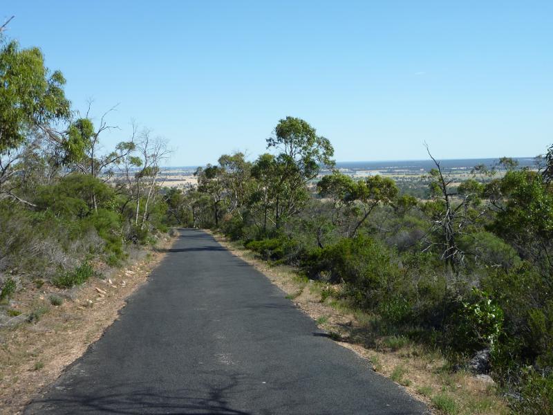
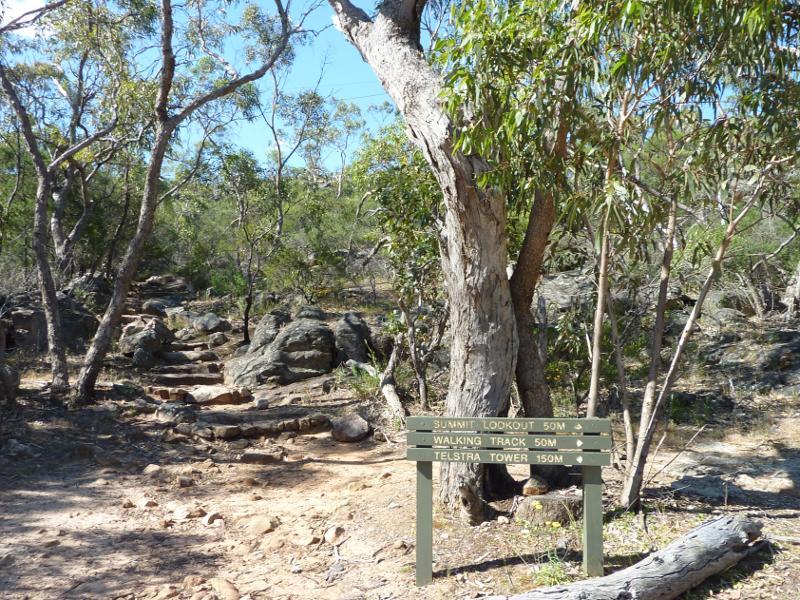
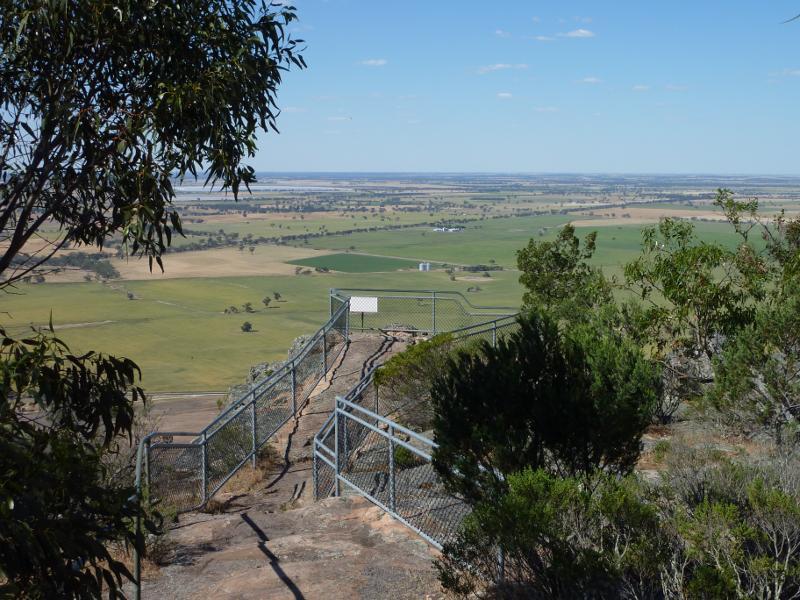
Mount Arapiles - Summit Picnic Area and mountain peak - Path leading from car park to summit
Mount Arapiles - Summit Picnic Area and mountain peak - View from path to summit, westwards down to car park
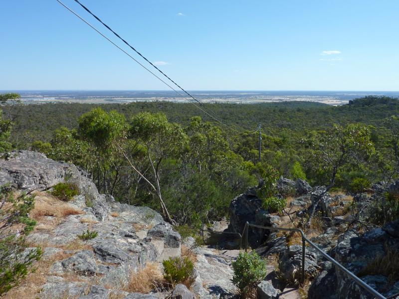
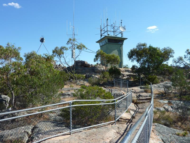
Mount Arapiles - Summit Picnic Area and mountain peak - View of communications towers from summit lookout
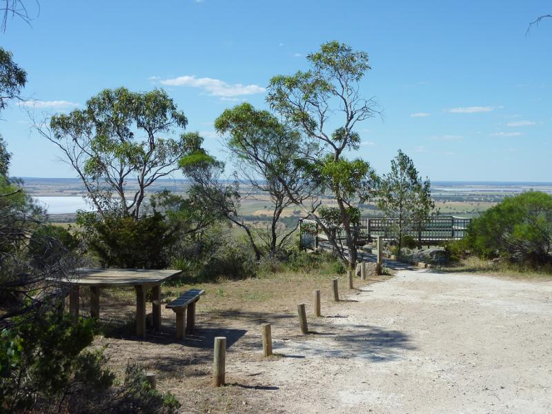
Mount Arapiles - Summit Picnic Area and mountain peak - Summit lookout
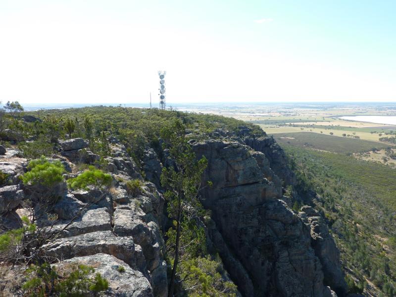
Mount Arapiles - Summit Picnic Area and mountain peak - View north-west from lookout towards communications tower and Mitre Lake
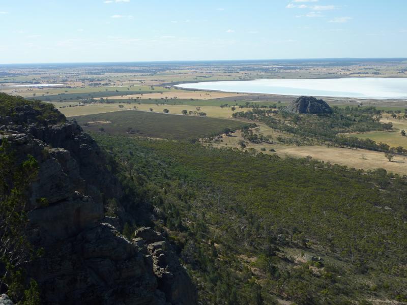
Mount Arapiles - Summit Picnic Area and mountain peak - View north-west towards Mitre Rock and Mitre Lake
Mount Arapiles - Summit Picnic Area and mountain peak - View north towards Mitre Rock and Mitre Lake
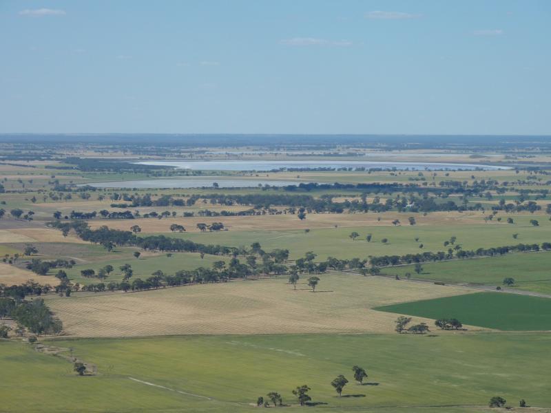
Mount Arapiles - Summit Picnic Area and mountain peak - View north-east towards Mitre Lake and Lake Wyn Wyn
Mount Arapiles - Summit Picnic Area and mountain peak - North-easterly view
Mount Arapiles - Summit Picnic Area and mountain peak - View north-east towards Lake Wyn Wyn
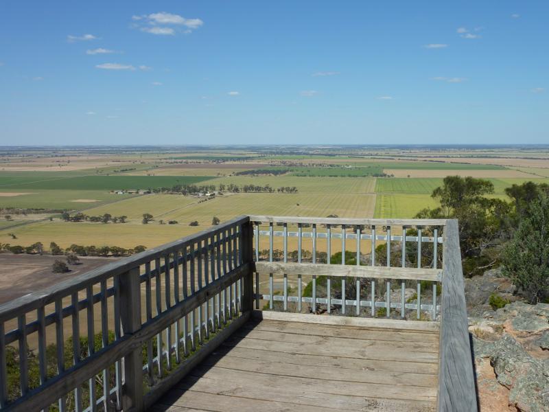
Mount Arapiles - Summit Picnic Area and mountain peak - Easterly view
Mount Arapiles - Summit Picnic Area and mountain peak - Easterly view along Natimuk-Frances Rd
Mount Arapiles - Summit Picnic Area and mountain peak - South-easterly view
Mount Arapiles - Summit Picnic Area and mountain peak - South-easterly view towards the Grampians
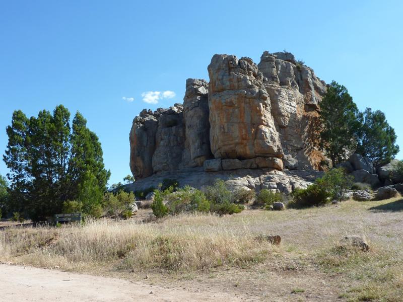
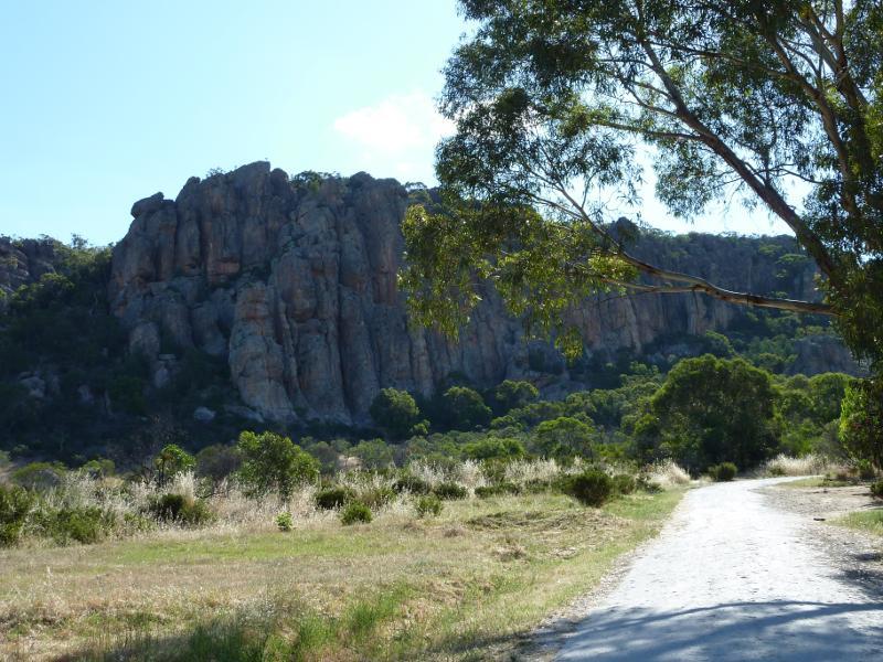
Centenary Park Road - Taylors Rock
Centenary Park Road - Easterly view from Centenary Park Rd at Taylors Rock
Centenary Park Road - View south along Centenary Park Rd, north of Centenary Park
Centenary Park Road - Westerly view towards Mt Arapiles, north of Centenary Park camping ground
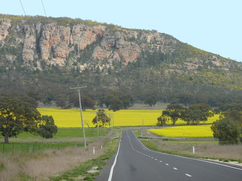
Centenary Park Road - View south-west towards Mt Arapiles from Centenary Park Rd at Natimuk-Frances Rd
Centenary Park camping and picnic area, Centenary Park Road - Entrance to camping area at Centenary Park Rd
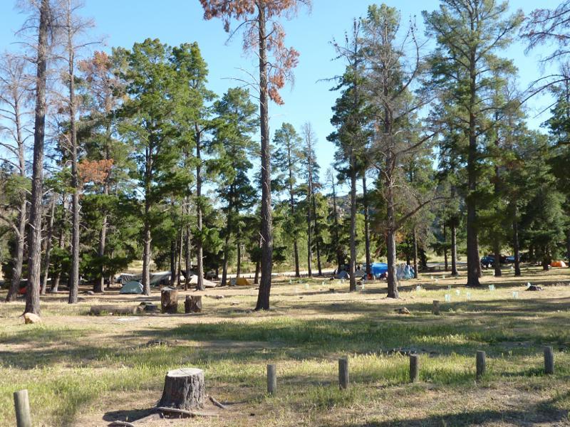
Centenary Park camping and picnic area, Centenary Park Road - Camping area
Centenary Park camping and picnic area, Centenary Park Road - Camping area
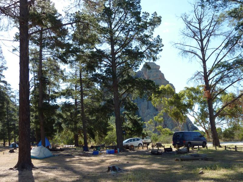
Centenary Park camping and picnic area, Centenary Park Road - View towards Mt Arapiles
Centenary Park camping and picnic area, Centenary Park Road - Walking track towards Mt Arapiles
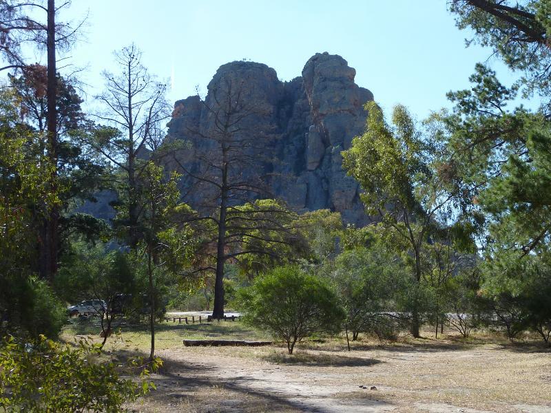
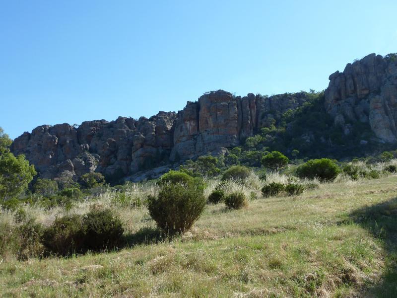
Centenary Park camping and picnic area, Centenary Park Road - Rock face of Mt Arapiles
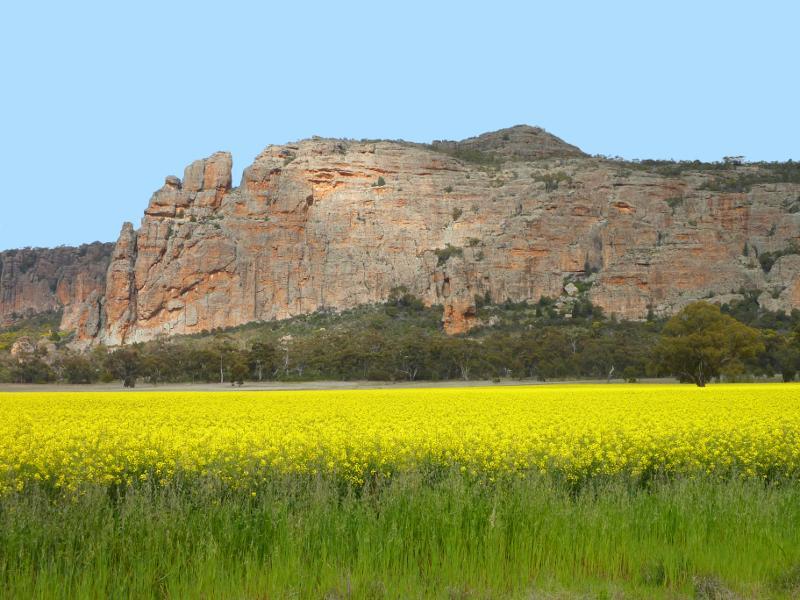
Natimuk - Frances Road around Mount Arapiles - View west along Frances Rd towards Mt Arapiles
Natimuk - Frances Road around Mount Arapiles - View west along Frances Rd towards Arapiles-Grass Flat Rd and Mt Arapiles
Natimuk - Frances Road around Mount Arapiles - View towards Mt Arapiles from Frances Rd near Centenary Park Rd
Natimuk - Frances Road around Mount Arapiles - View towards Mt Arapiles from Frances Rd near Centenary Park Rd
Natimuk - Frances Road around Mount Arapiles - View north-west along Frances Rd towards Mitre Rock