Nhill - public transport
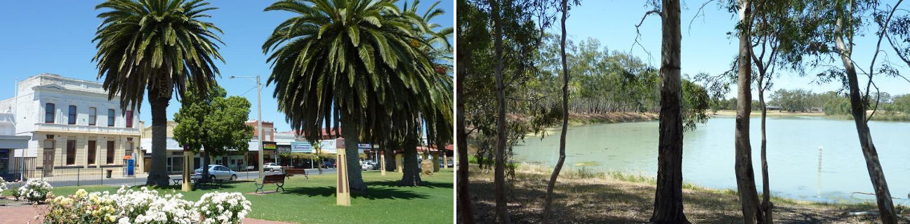
Nhill
Stay
See and do
Food and drink
Shopping
Getting around
Visitor information
Train
Nhill station
| Line | Operator | Timetable and stops | Map |
|---|---|---|---|
| The Overland |  |
Melbourne to Adelaide Via Southern Cross, North Shore, Ararat, Stawell, Horsham, Dimboola, Nhill, Bordertown (SA), Murray Bridge (SA), Adelaide (SA) |
Ararat station
(170 km away)
| Line | Operator | Timetable and stops | Map |
|---|---|---|---|
| Ararat |  |
Ararat - Melbourne Via Ararat, Beaufort, Wendouree, Ballarat, Ballan, Bacchus Marsh, Melton, Cobblebank, Rockbank, Caroline Springs, Deer Park, Ardeer, Sunshine, Footscray, Southern Cross |
|
| The Overland | |
Melbourne to Adelaide Via Southern Cross, North Shore, Ararat, Stawell, Horsham, Dimboola, Nhill, Bordertown (SA), Murray Bridge (SA), Adelaide (SA) |
Bus
| Route | Operator | Timetable | Map |
|---|---|---|---|
| Horsham to Kaniva Via Dimboola, Nhill |
Wimmera Roadways | ||
| Nhill to Ballarat Via Dimboola, Pimpinio, Horsham, Murtoa, Rupanyup, Glenorchy, Dadswells Bridge, Stawell, Stawell station, Great Western, Ararat, Ararat station, Buangor, Beaufort, Beaufort station, Trawalla, Ballarat station |
|
||
| Adelaide (SA) to Bendigo Via Mount Barker (SA), Murray Bridge (SA), Tailem Bend (SA), Keith (SA), Bordertown (SA), Kaniva, Nhill, Dimboola, Horsham, Murtoa, Rupanyup, Marnoo, St Arnaud, Dunolly, Tarnagulla, Bendigo station |
|
||
| Melbourne to Adelaide (SA) Via Southern Cross station, Deer Park, Melton, Bacchus Marsh, Ballarat, Ballarat station, Beaufort, Ararat, Ararat station, Stawell, Horsham, Dimboola, Nhill, Kaniva, Bordertown (SA), Keith (SA), Tailem Bend (SA), Murray Bridge (SA), Mount Barker (SA) |
 |
Air
| Airport | Distance | Destinations | Airlines |
|---|---|---|---|
| Mount Gambier (South Australia) |
210 km |
|
|
| Adelaide (South Australia) |
353 km | Within Australia | |
| International |
|
||
| Avalon (Geelong) |
366 km |
|
|
| Melbourne (Tullamarine) |
373 km | Within Australia | |
| International |
|