Noojee - photos
Noojee
Stay
See and do
Food and drink
Shopping
Getting around
Visitor information
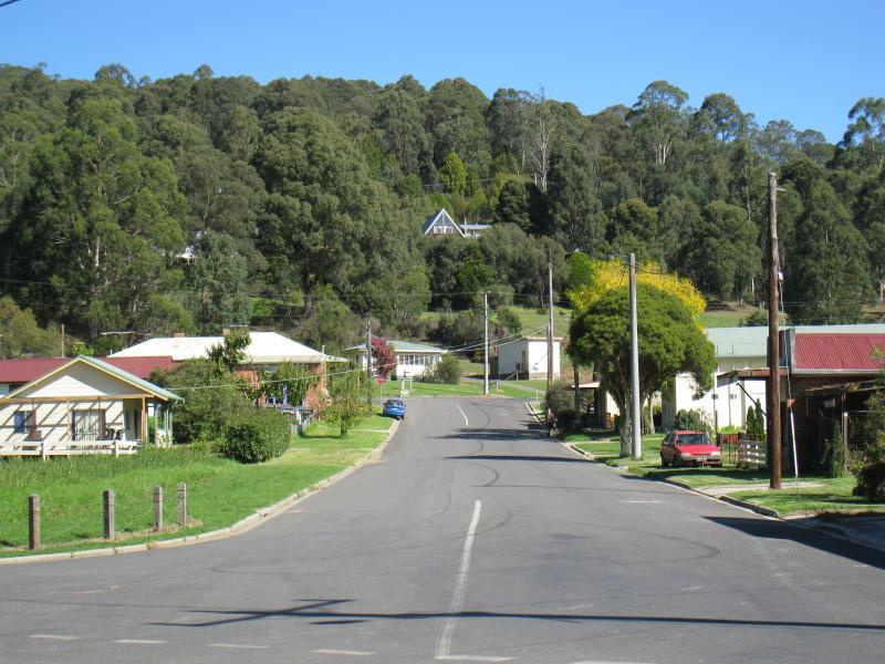
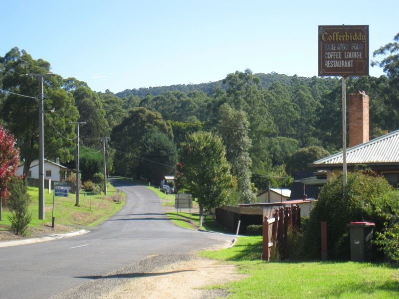 Town centre, Bennett Street and Henty Street - View west along Mt Baw Baw Rd towards Henty St
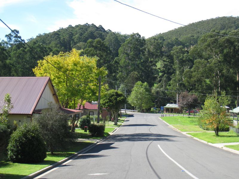 Town centre, Bennett Street and Henty Street - View north-east along Henty St
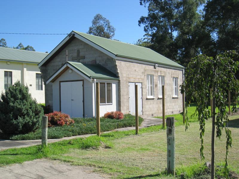 Town centre, Bennett Street and Henty Street - St Andrews church, Henty St
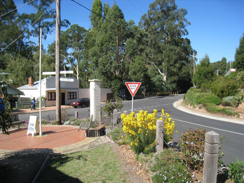
 Town centre, Bennett Street and Henty Street - View south-west along Henty St at Bennet St
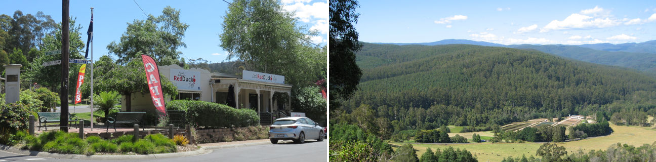
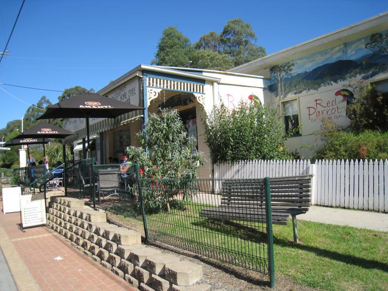 Town centre, Bennett Street and Henty Street - Cafe, Bennett St
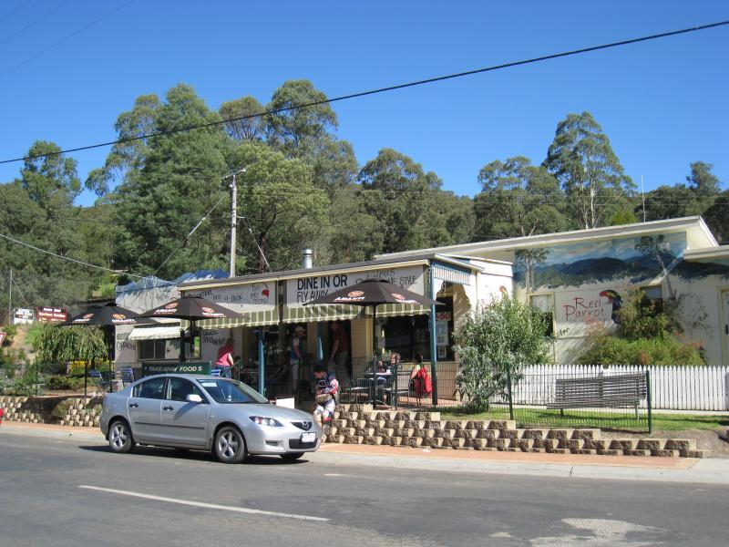 Town centre, Bennett Street and Henty Street - Cafe, Bennett St
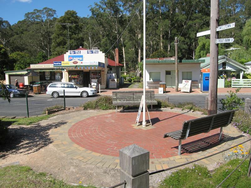
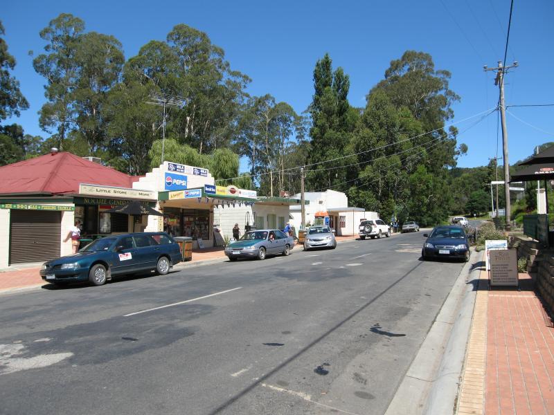 Town centre, Bennett Street and Henty Street - View south-east along Bennett St at general store
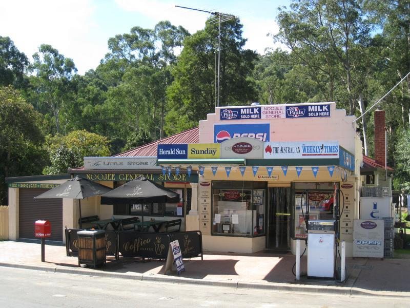 Town centre, Bennett Street and Henty Street - Noojee General Store, Bennett St
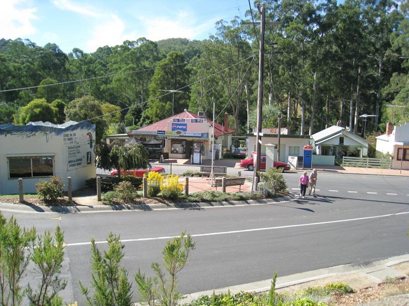
 Town centre, Bennett Street and Henty Street - View across Bennett St towards general store at Mt Baw Baw Rd junction
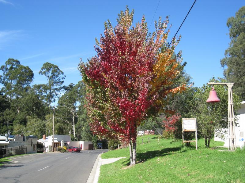
 Town centre, Bennett Street and Henty Street - View east along Mt Baw Baw Rd at Bennett St
 Town centre, Bennett Street and Henty Street - Mt Baw Baw Rd at Bennett St junction
 Town centre, Bennett Street and Henty Street - View east along Mt Baw Baw Rd at fire station and towards Bennett St
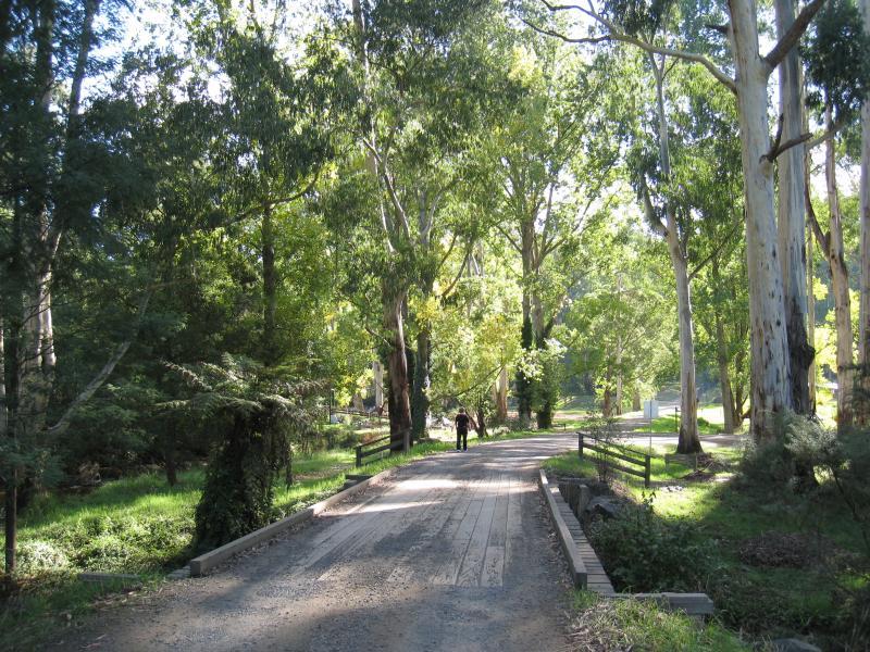
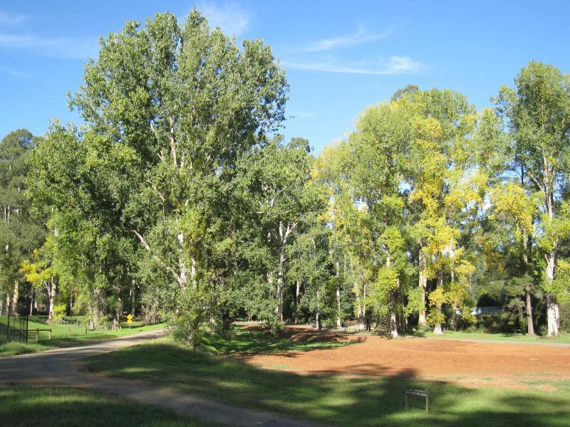
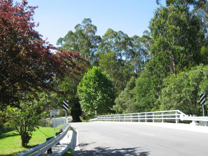 Parkland along La Trobe River, east side of Bennett Street - View north along bridge over La Trobe River
 Parkland along La Trobe River, east side of Bennett Street - View south along bridge over La Trobe River towards Henty St
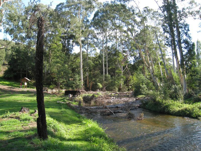
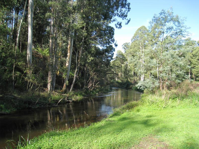
 Parkland along La Trobe River, east side of Bennett Street - View east along La Trobe River from road bridge
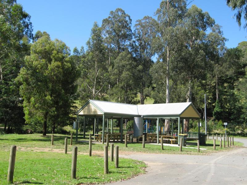 Parkland along La Trobe River, east side of Bennett Street - BBQ shelter and picnic grounds off northern end of Bennett St
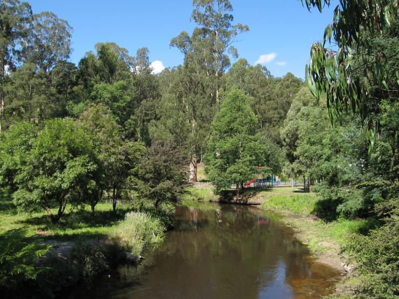
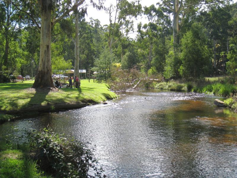
 Parkland along La Trobe River, east side of Bennett Street - View west along river towards playground and BBQ shelter
 Parkland along La Trobe River, east side of Bennett Street - View east along river near BBQ shelter
 Parkland along La Trobe River, east side of Bennett Street - Sandy beach at bend in river near BBQ shelter
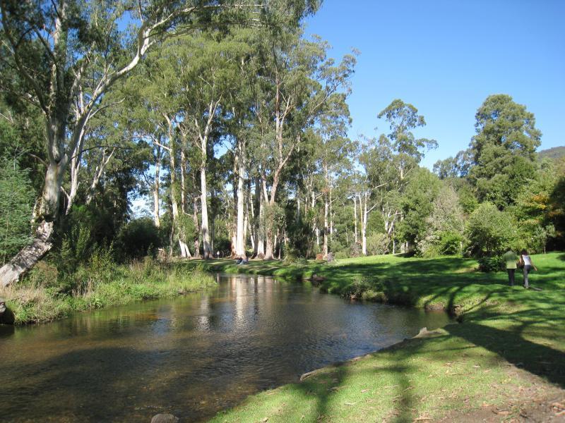 Parkland along La Trobe River, east side of Bennett Street - View south along river behind Bennett St
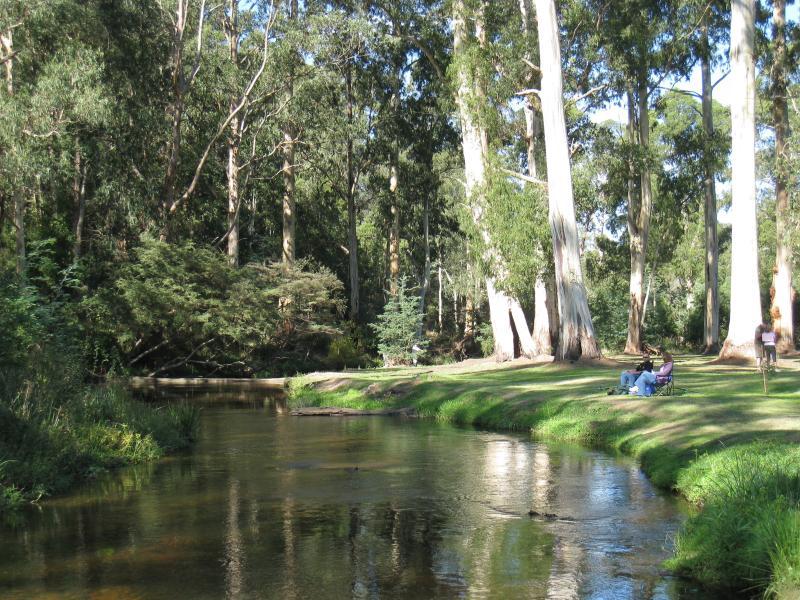
 Parkland along La Trobe River, east side of Bennett Street - View north along river towards BBQ shelter
 Parkland along La Trobe River, east side of Bennett Street - View south along river through parkland behind Bennett St
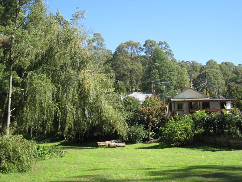
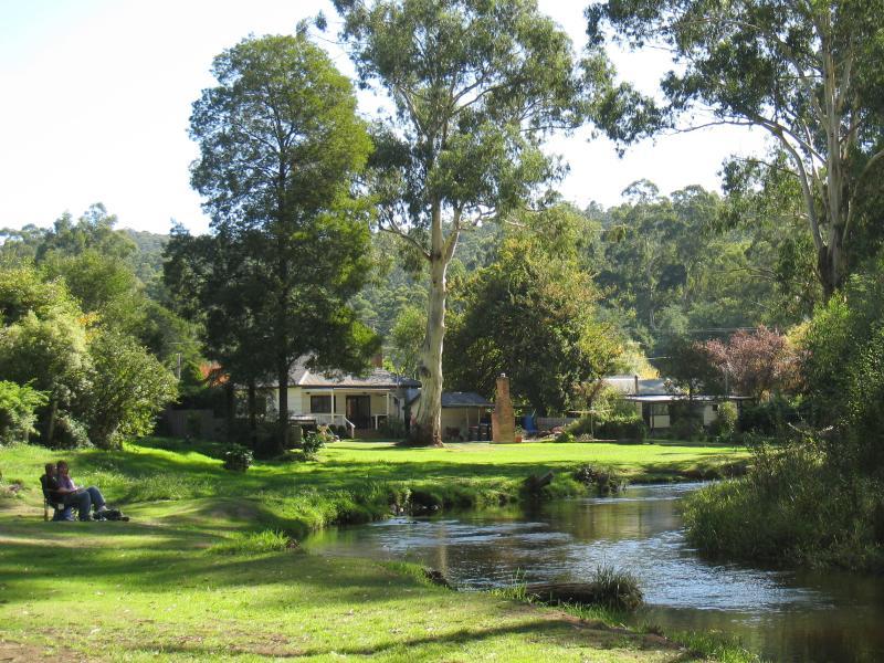 Parkland along La Trobe River, east side of Bennett Street - River and parkland behind buildings on Bennett St
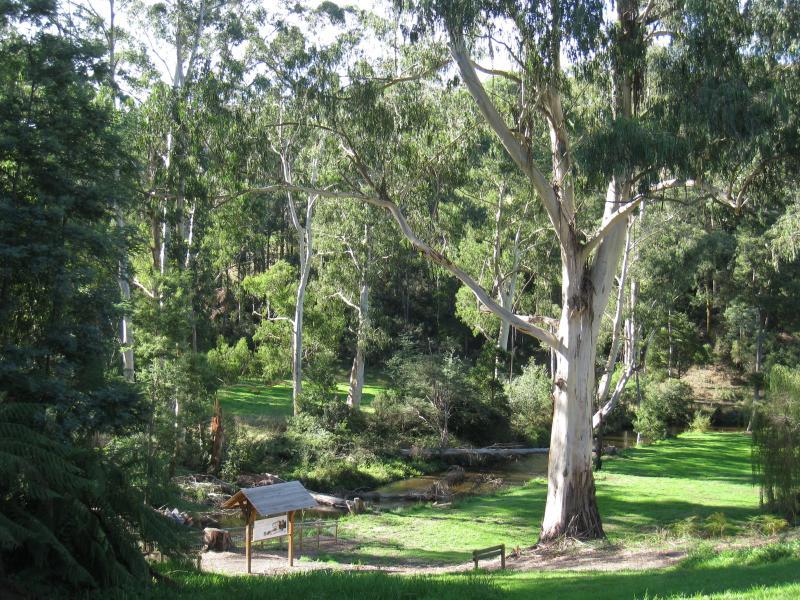
 Parkland along La Trobe River, east side of Bennett Street - View west through riverfront parkland to rear of buildings on Bennett St
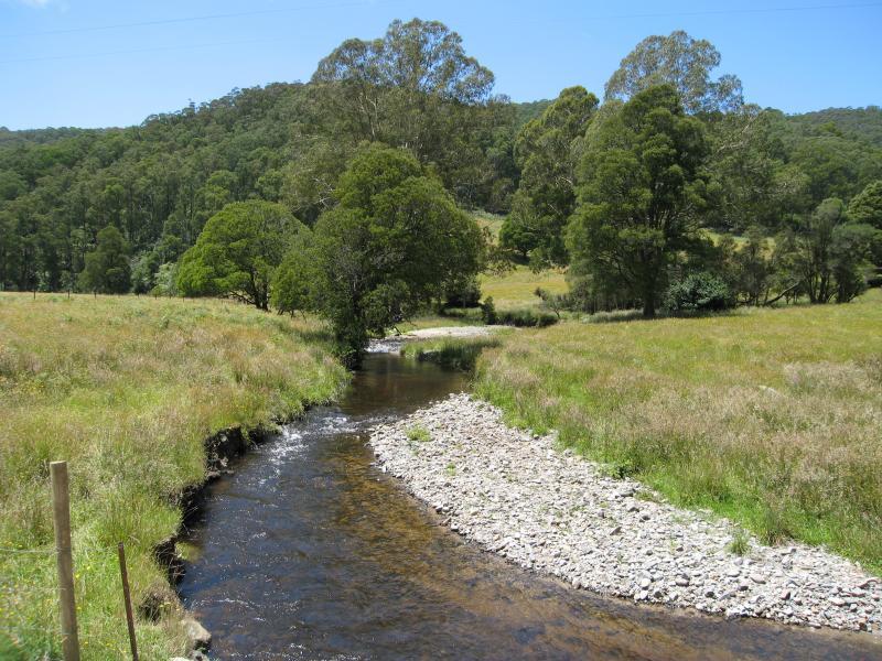
 Parkland along La Trobe River, McCarthy Spur Road - View west along La Trobe River from bridge at Loch Valley Rd
 Parkland along La Trobe River, McCarthy Spur Road - View east along La Trobe River towards bridge at Loch Valley Rd
 Parkland along La Trobe River, McCarthy Spur Road - View west along McCarthy Spur Rd at bridge over Loch River
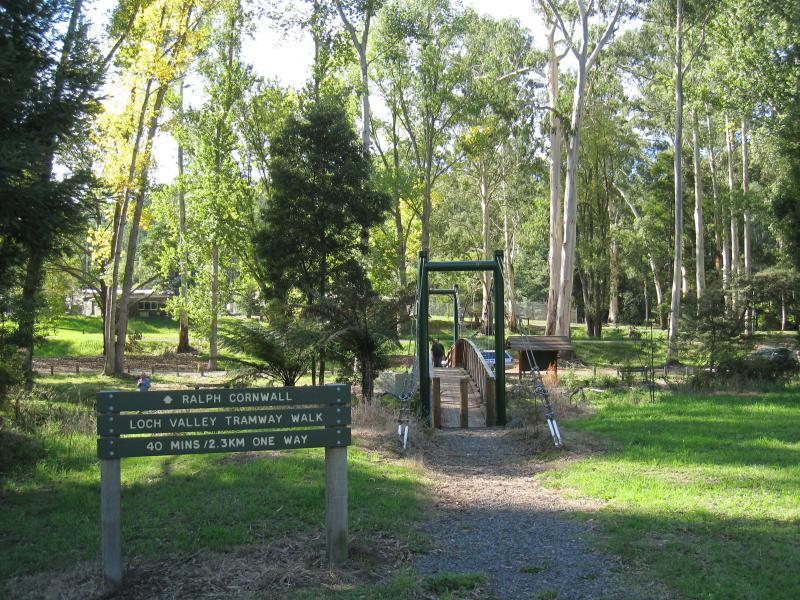
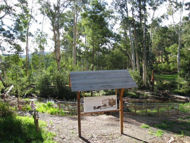
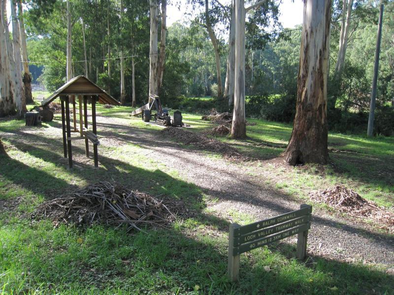 Parkland along La Trobe River, McCarthy Spur Road - Loch Valley Tramway Walk next to bridge over Loch River
 Parkland along La Trobe River, McCarthy Spur Road - Old tramway equipment display, Loch Valley Tramway Walk at Loch River
 Parkland along La Trobe River, McCarthy Spur Road - View west along La Trobe River towards suspension bridge
 Parkland along La Trobe River, McCarthy Spur Road - View east along La Trobe River from suspension bridge
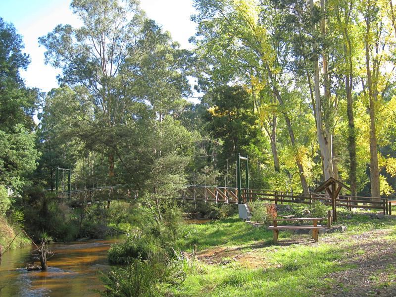
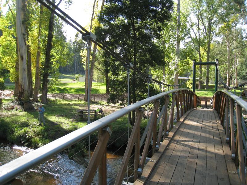 Parkland along La Trobe River, McCarthy Spur Road - View north across suspension bridge over La Trobe River
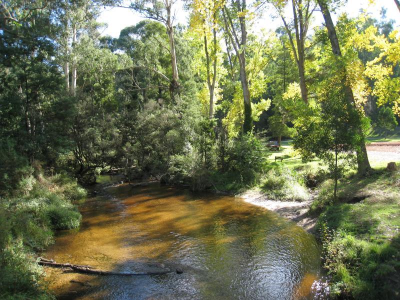 Parkland along La Trobe River, McCarthy Spur Road - View west along La Trobe River from suspension bridge
 Parkland along La Trobe River, McCarthy Spur Road - View north towards suspension bridge from north end of Loch Cr
 Parkland along La Trobe River, McCarthy Spur Road - View west through park along river, west of suspension bridge
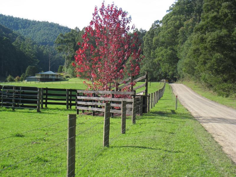
 Parkland along La Trobe River, McCarthy Spur Road - Park at junction of McCarthy Spur Rd and Boys Camp Rd
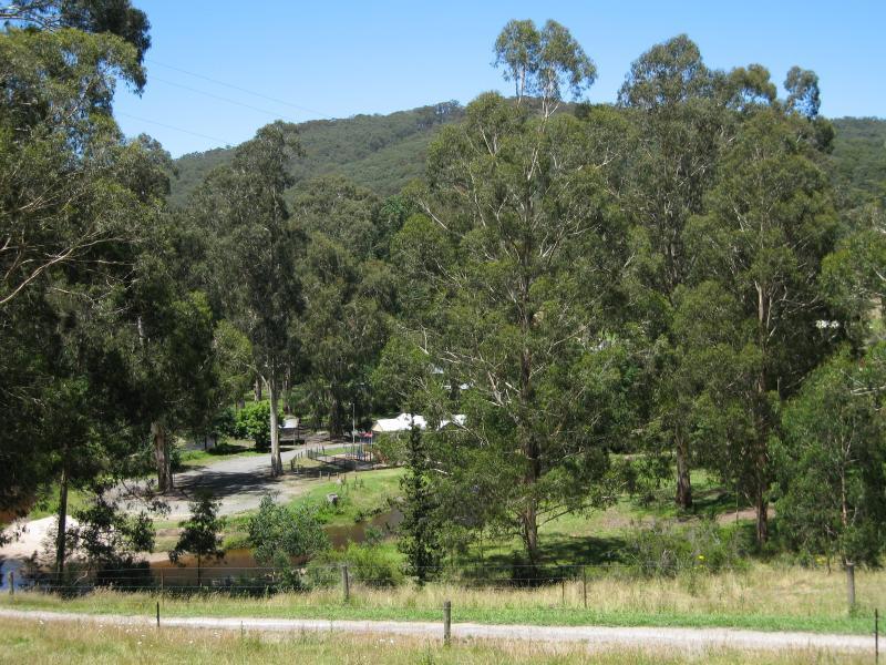
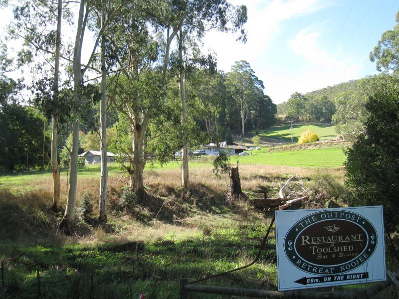 Loch Valley Road - View towards Outpost Retreat from near La Trobe River
 Loch Valley Road - Driveway entrance to Outpost Retreat
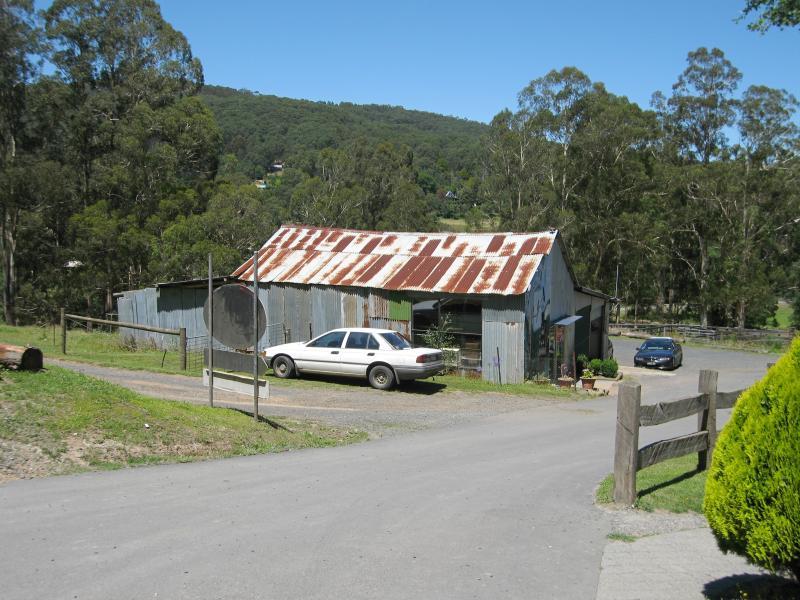 Loch Valley Road - Craft shed at Outpost Retreat
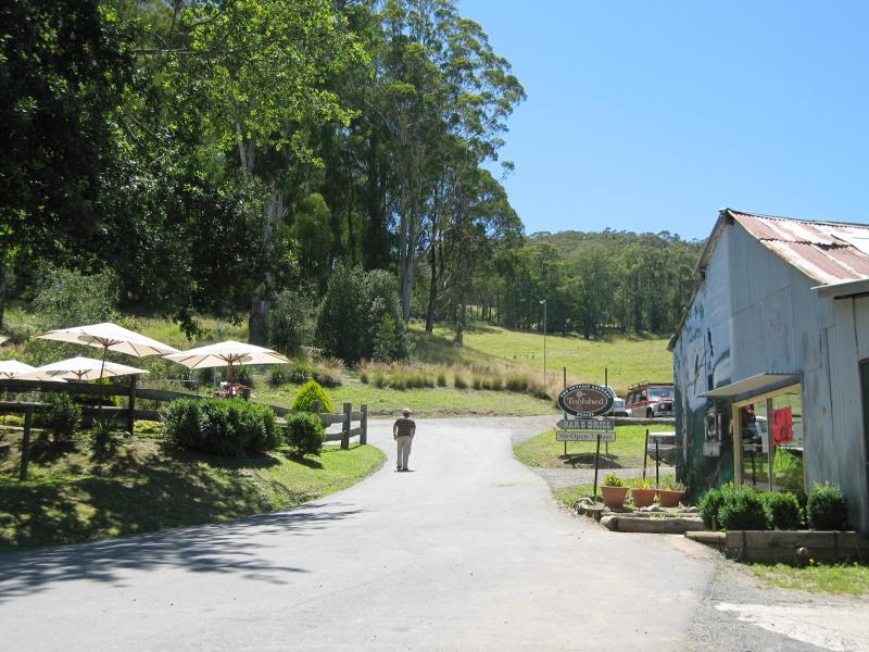
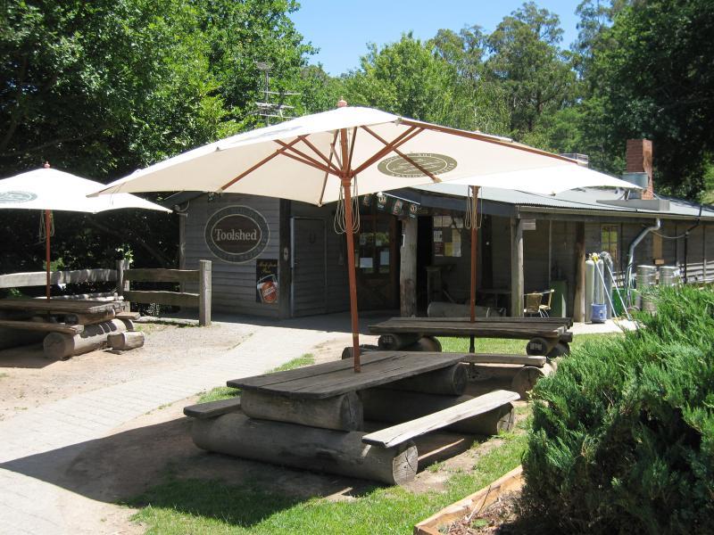 Loch Valley Road - Toolshed bar & bistro at Outpost Retreat
 Loch Valley Road - View south towards La Trobe River and picnic grounds from Outpost Retreat
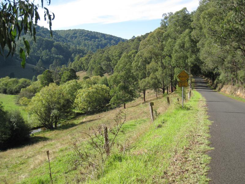
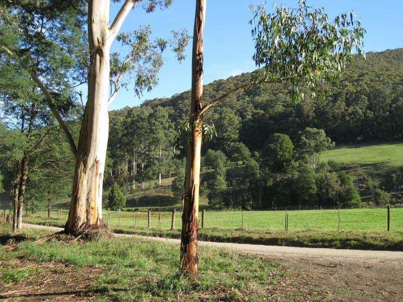
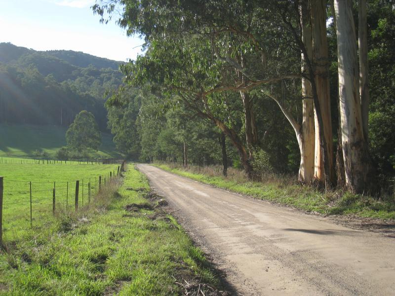
 Loch Valley Road - View north along Loch Valley Rd, north of town
 Loch Valley Road - Loch Valley Rd through bush area
 Loch Valley Road - View north along Loch Valley Rd at Gunns Rd
 Loch Valley Road - North-west view, Loch Valley Rd at Gunns Rd
 Loch Valley Road - South-west view, Loch valley Rd at Gunns Rd
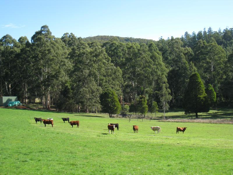
 Noojee Hotel and surroundings, Mount Baw Baw Road - La Trobe River viewed from Mt Baw Baw Rd, west of Noojee Hotel
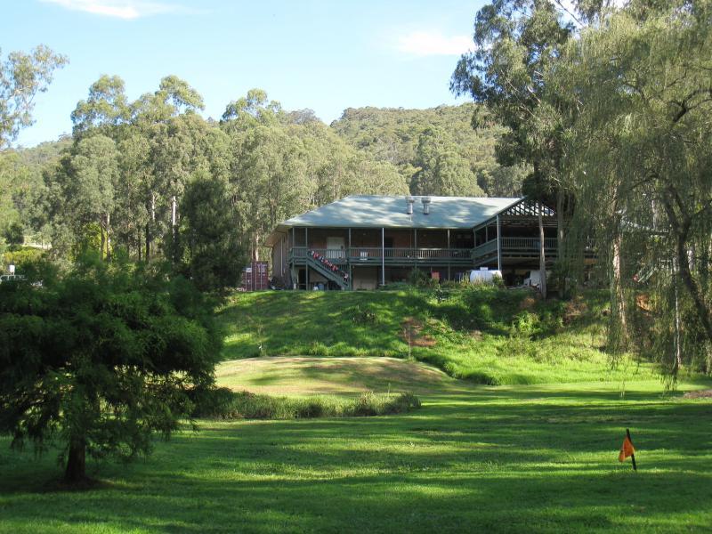
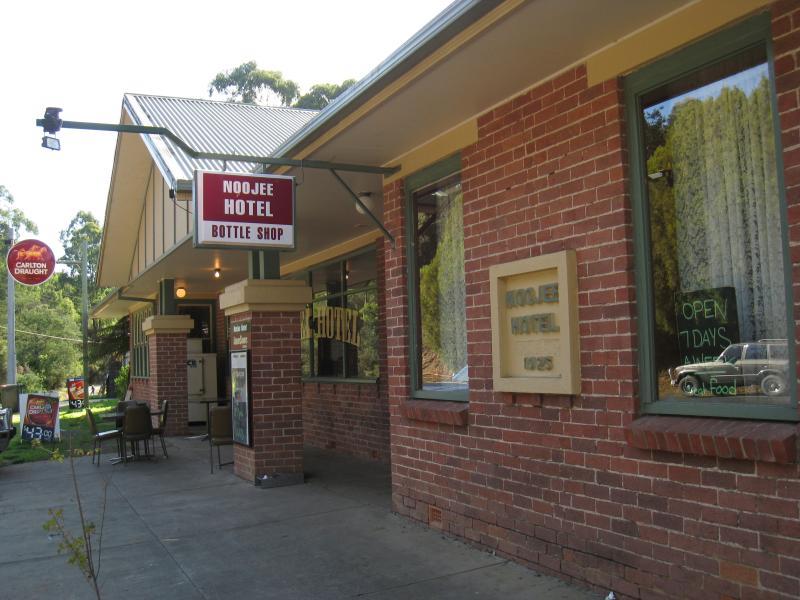 Noojee Hotel and surroundings, Mount Baw Baw Road - Noojee Hotel front entrance
 Noojee Hotel and surroundings, Mount Baw Baw Road - View down to La Trobe River from rear of hotel
 Noojee Hotel and surroundings, Mount Baw Baw Road - Pathway along La Trobe River at rear of hotel
 Noojee Hotel and surroundings, Mount Baw Baw Road - View of rear of hotel from La Trobe River
 Noojee Hotel and surroundings, Mount Baw Baw Road - View across riverfront parkland towards rear of hotel
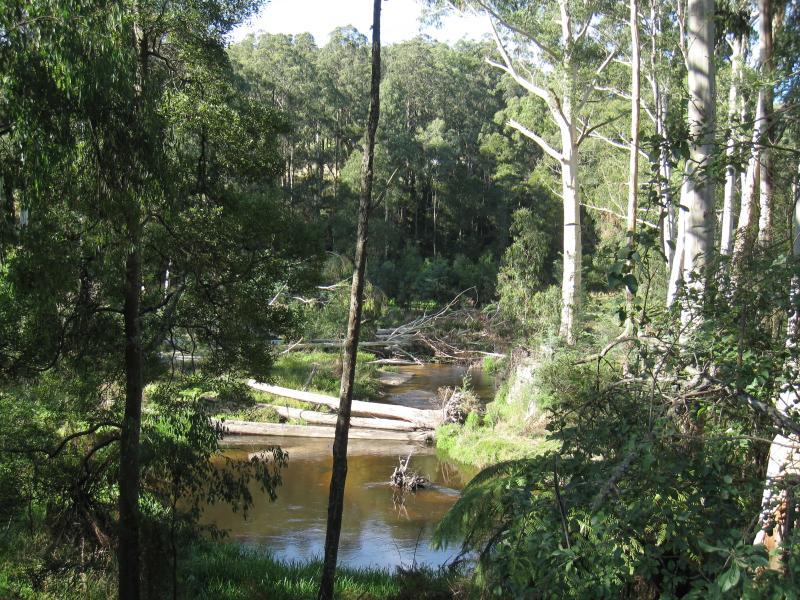
 Noojee Hotel and surroundings, Mount Baw Baw Road - View west along La Trobe River behind hotel
 Noojee Hotel and surroundings, Mount Baw Baw Road - View east along La Trobe River behind hotel
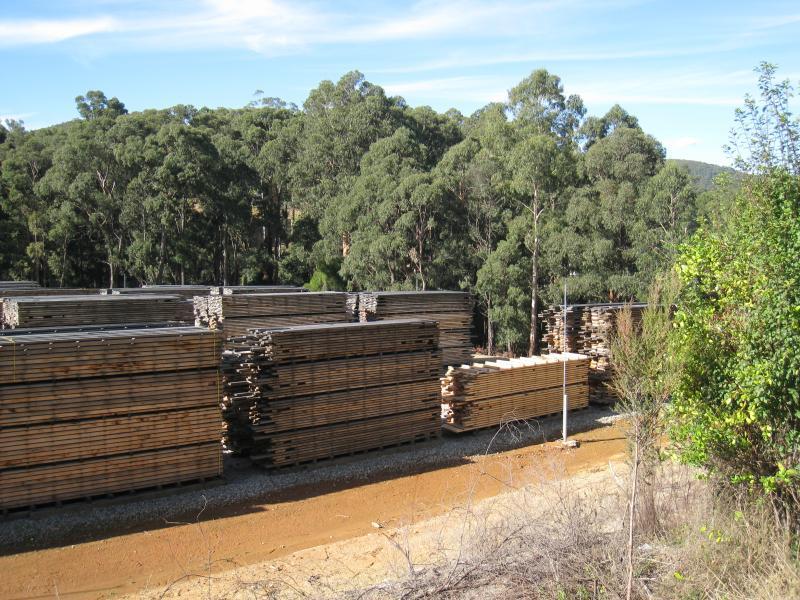 Mount Baw Baw Road east of town - Wood stacks at timber mill near old Fumina Rd
 Mount Baw Baw Road east of town - Water spraying of sawlogs at timber mill near old Fumina Rd
 Toorongo Falls Road - View along Toorongo Falls Rd near Mt Baw Baw Rd
 Toorongo Falls Road - View west towards Toorongo River near start of road
 Toorongo Falls Road - Toorongo River running through countryside along Toorongo Falls Rd
 Toorongo Falls Road - View east along Toorongo River at first river crossing
 Toorongo Falls Road - South-east view from Toorongo River at first river crossing
 Toorongo Falls Road - View south along Toorongo Falls Rd at first river crossing
 Toorongo Falls Road - Toorongo River on east side of road
 Toorongo Falls Road - View west across road towards mountains
 Toorongo Falls Road - View north along Toorongo Falls Rd
 Toorongo Falls Road - View north along Toorongo Falls Rd
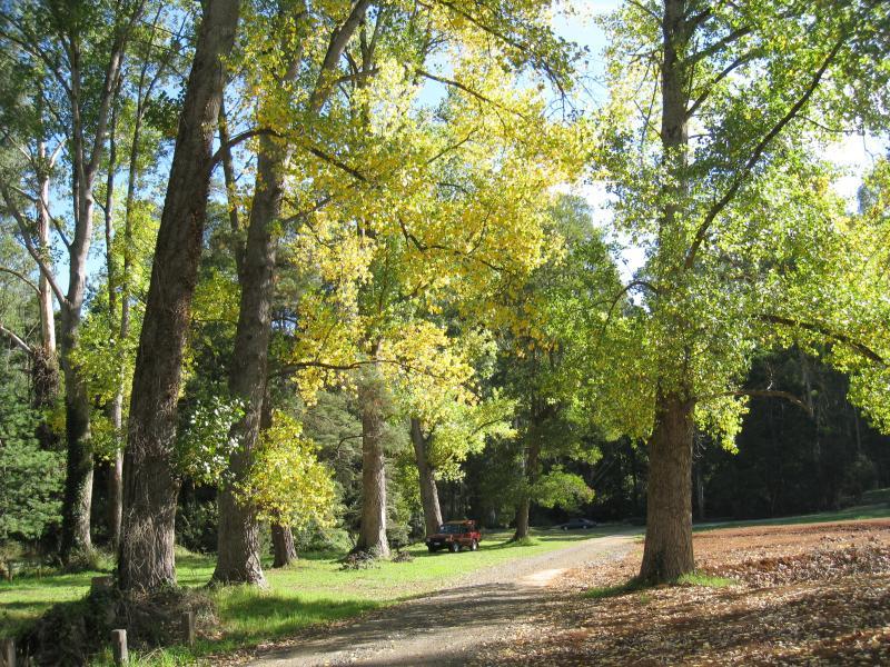
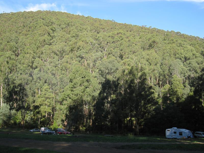 Toorongo Falls Road - Camping area towards northern end of Toorongo Falls Rd
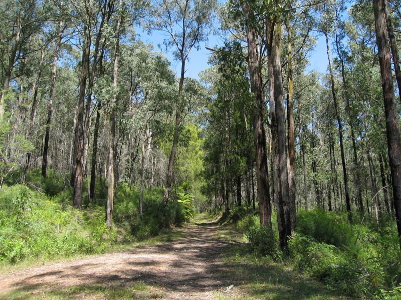
 Toorongo Falls Road - Toorongo Falls Rd close to northern end
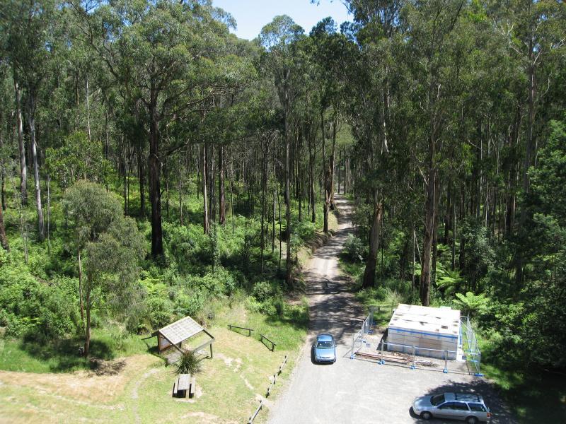
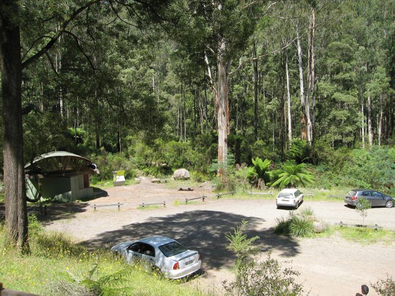 Toorongo Falls Reserve - Car park at northern end of Toorongo Falls Rd
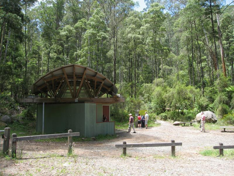 Toorongo Falls Reserve - Toilets at car park
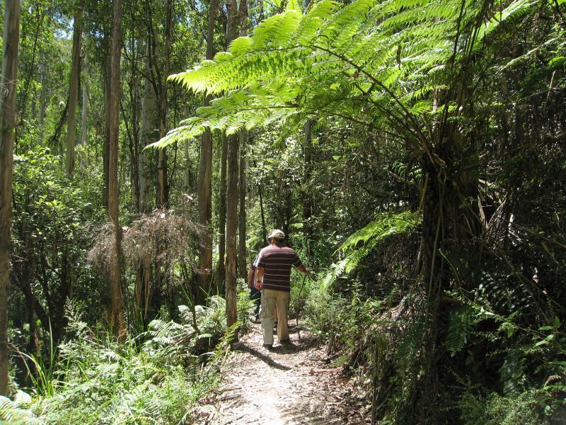
 Toorongo Falls Reserve - Start of walking track to Toorongo Falls and Amphitheatre Falls
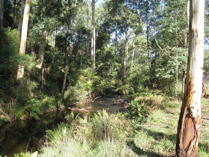
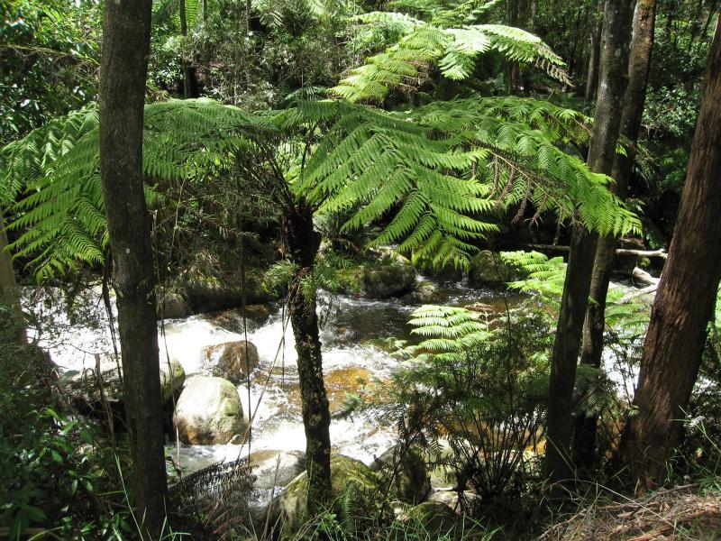 Toorongo Falls Reserve - View of Toorongo River from walking track
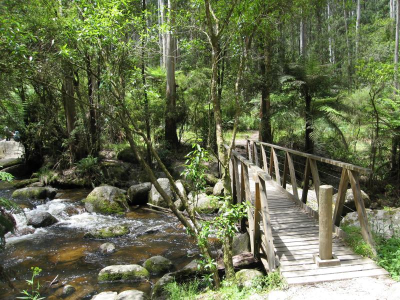 Toorongo Falls Reserve - Bridge over Toorongo River
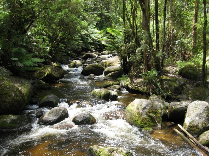 Toorongo Falls Reserve - View along Toorongo River from footbridge
 Toorongo Falls Reserve - View along Toorongo River from footbridge
 Toorongo Falls Reserve - Walking track approaching branch that goes off to Amphitheatre Falls
 Toorongo Falls Reserve - Walking track to Toorongo Falls
 Toorongo Falls Reserve - Walking track to Toorongo Falls
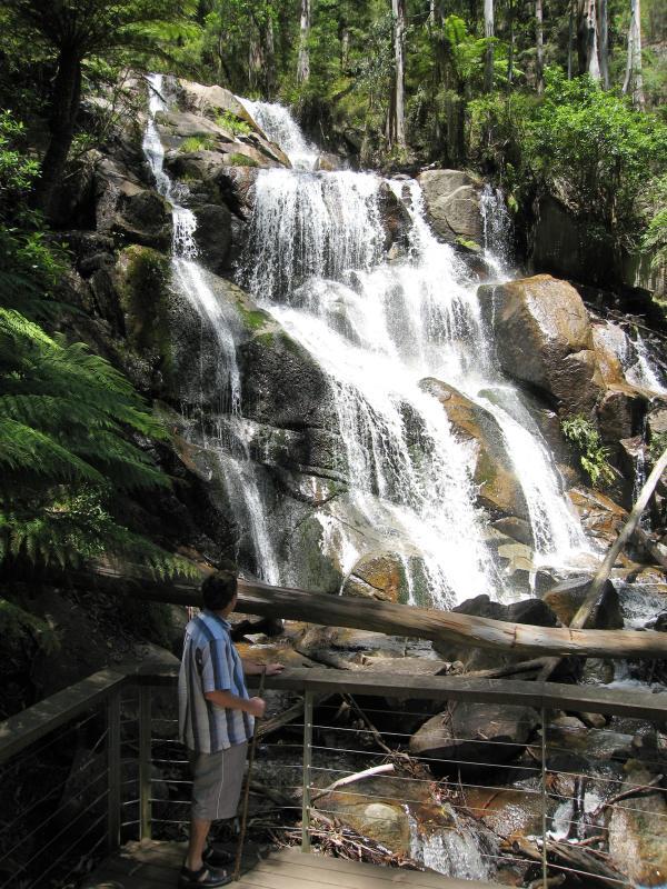 Toorongo Falls Reserve - Viewing platform at base of Toorongo Falls
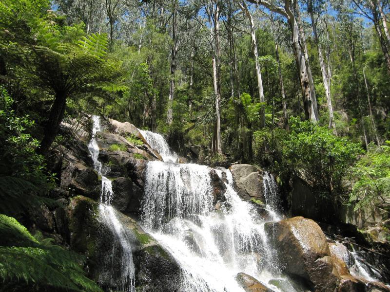 Toorongo Falls Reserve - View of top of Toorongo Falls
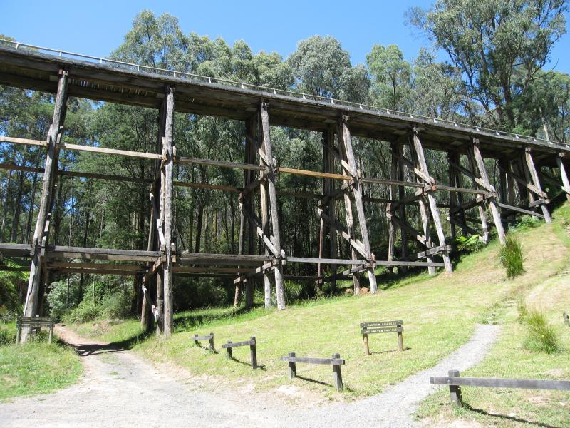 Trestle Bridge, Mount Baw Baw Road - At car park at base of trestle bridge
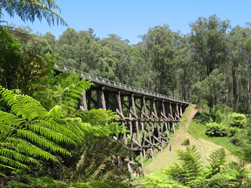 Trestle Bridge, Mount Baw Baw Road - View along bottom of trestle bridge
 Trestle Bridge, Mount Baw Baw Road - View along top of trestle bridge
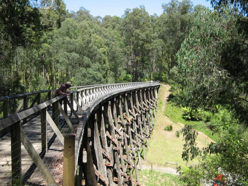 Trestle Bridge, Mount Baw Baw Road - View along top of trestle bridge
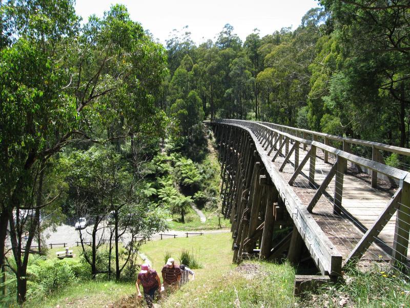
 Trestle Bridge, Mount Baw Baw Road - View down to car park from top of trestle bridge
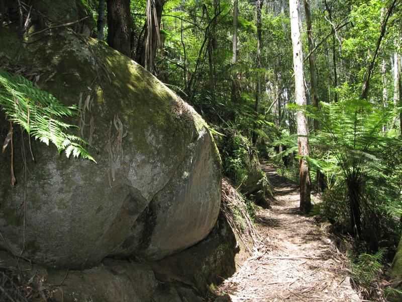
 Trestle Bridge, Mount Baw Baw Road - Noojee Trestle Bridge Rail Trail walking track near top of bridge
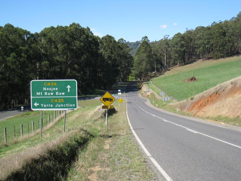 Mount Baw Baw Road west of town - View east along Main Neerim Rd towards Mt Baw Baw Rd
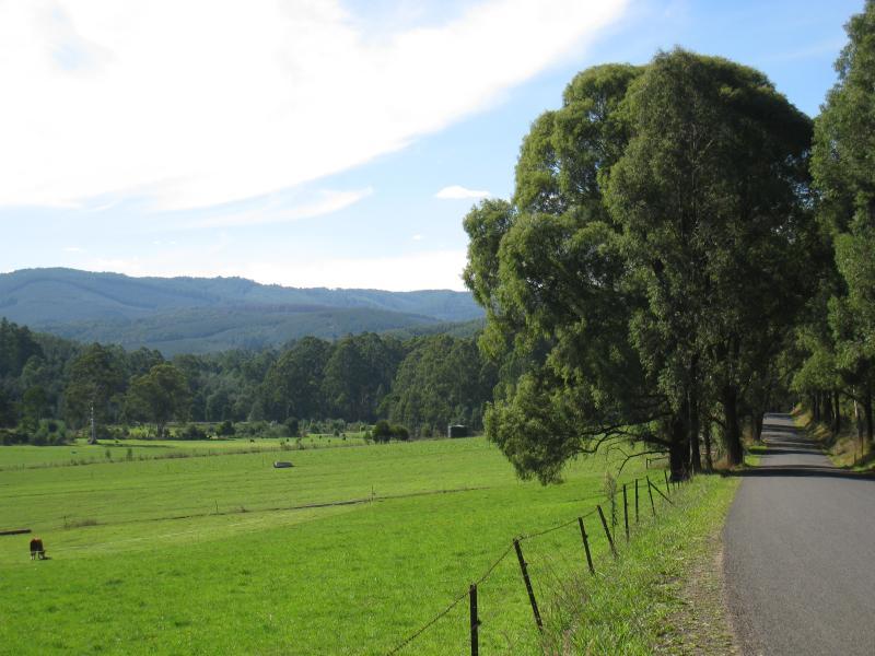
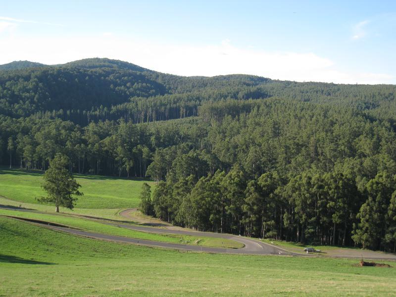
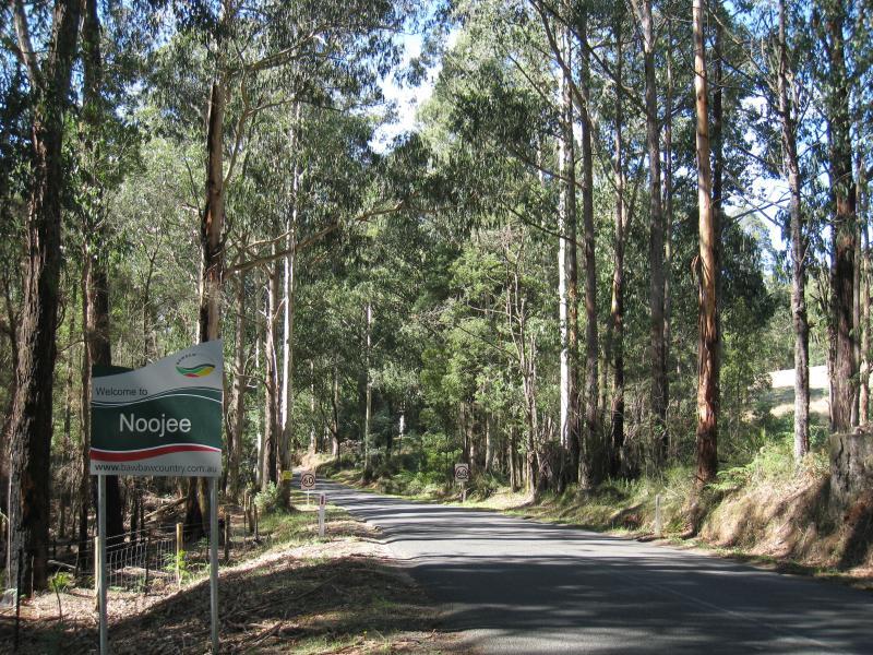 Mount Baw Baw Road west of town - View east along Mt Baw Baw Rd towards Noojee town sign
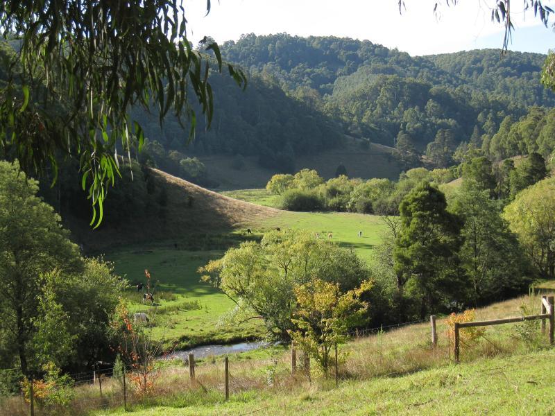
 Views from Main Neerim Road near Mount Baw Baw Road - North-west view
 Views from Main Neerim Road near Mount Baw Baw Road - Northerly view towards Main Neerim Rd and Mt Baw Baw Rd junction
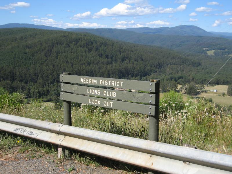 Lions Club Lookout, Main Neerim Road - Lions Club Lookout sign at car park
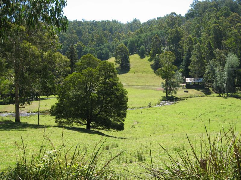
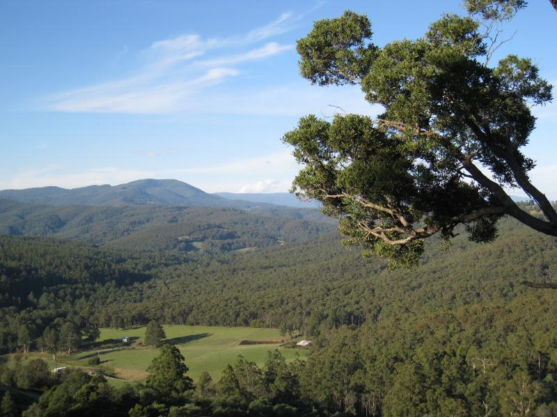
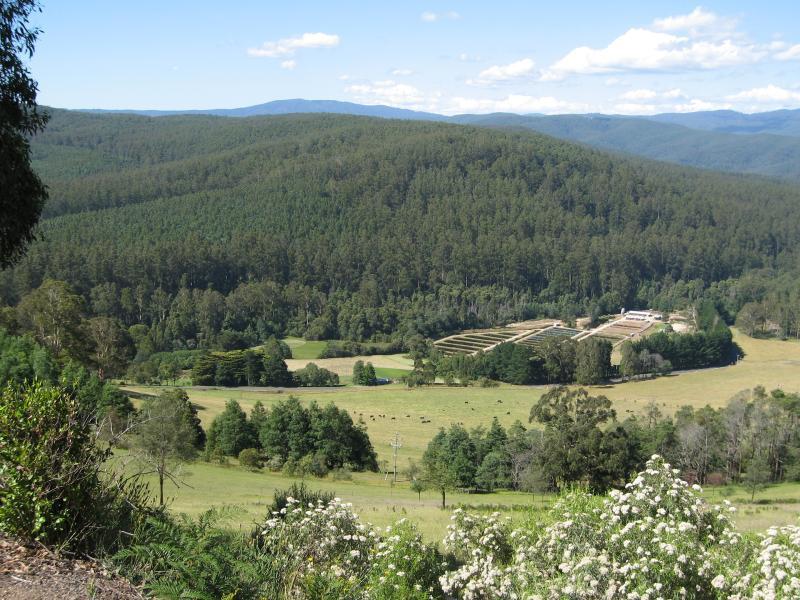 Lions Club Lookout, Main Neerim Road - North-easterly view towards Alpine Trout Farm
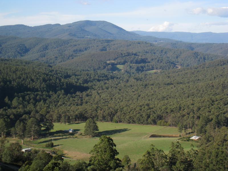
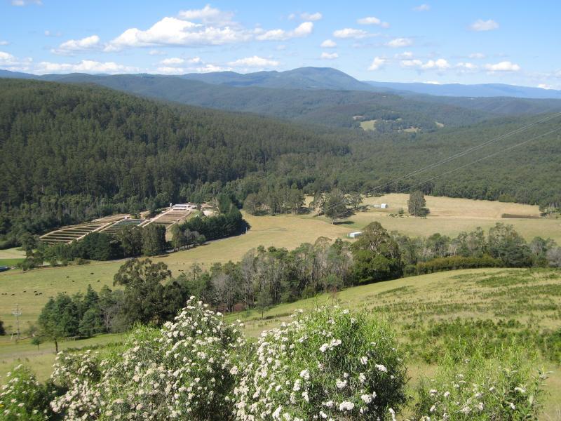 Lions Club Lookout, Main Neerim Road - North-easterly view
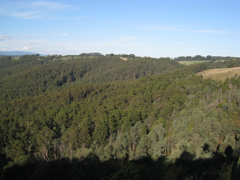
 Lions Club Lookout, Main Neerim Road - Easterly view
 Views from parking bay just south of Lions Club Lookout, Main Neerim Road - North-easterly view
 Views from parking bay just south of Lions Club Lookout, Main Neerim Road - North-easterly view
 Views from parking bay just south of Lions Club Lookout, Main Neerim Road - Easterly view
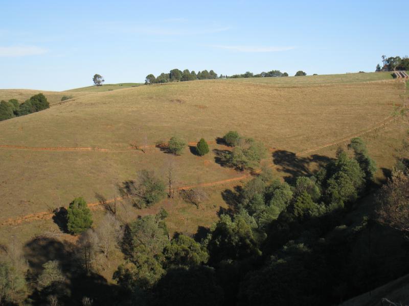 Views from parking bay just south of Lions Club Lookout, Main Neerim Road - South-easterly view