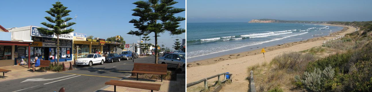
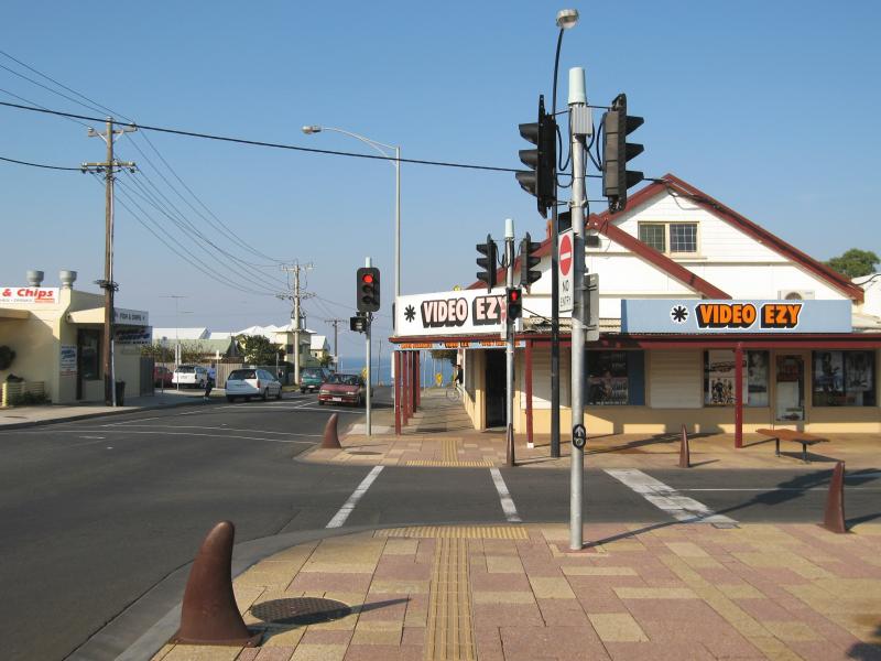
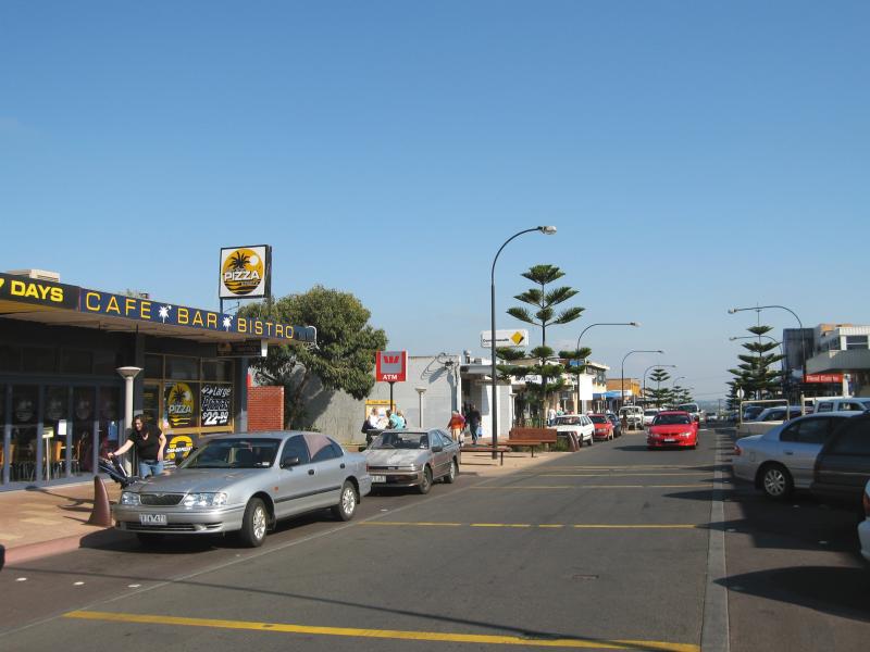
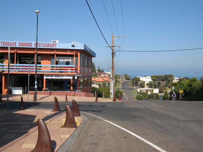
Shops and commercial centre, The Terrace and Hodgson Street - View east along The Parade at Hodgson St
Shops and commercial centre, The Terrace and Hodgson Street - View south along Hodgson St at The Parade
Shops and commercial centre, The Terrace and Hodgson Street - View south along Hodgson St towards The Terrace
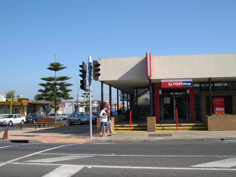
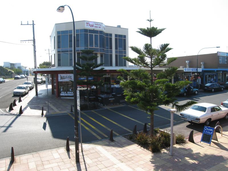
Shops and commercial centre, The Terrace and Hodgson Street - Ocean Grove post office, view west along The Terrace at Hodgson St
Shops and commercial centre, The Terrace and Hodgson Street - View south along Hodgson St at The Terrace
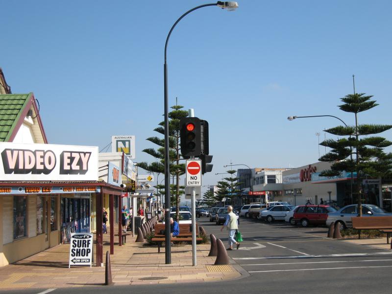
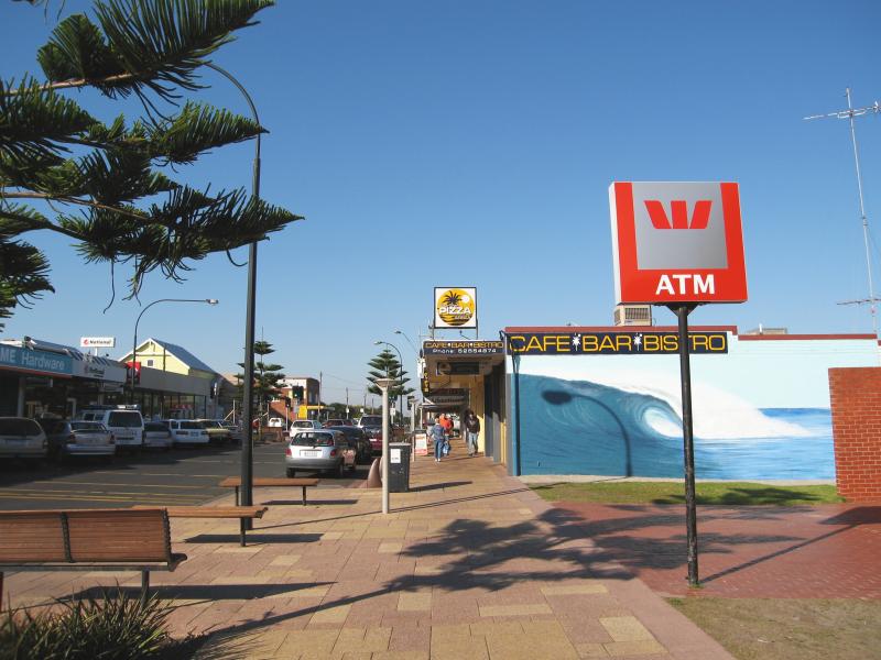
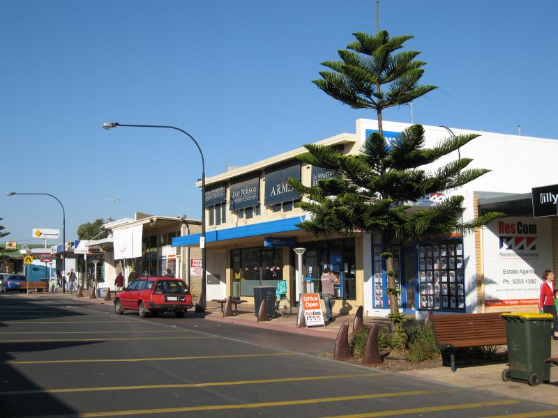
Shops and commercial centre, The Terrace and Hodgson Street - View west along The Terrace at Hodgson St
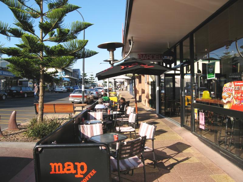
Shops and commercial centre, The Terrace and Hodgson Street - View west along The Terrace near Hodgson St
Shops and commercial centre, The Terrace and Hodgson Street - View west along The Terrace near Hodgson St
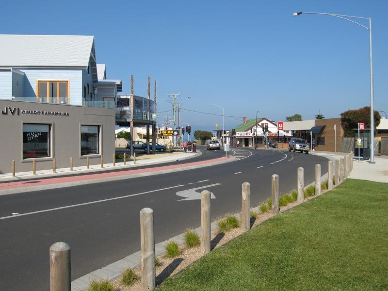
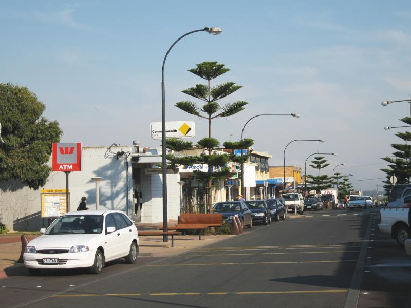
Shops and commercial centre, The Terrace and Hodgson Street - View west along The Terrace
Shops and commercial centre, The Terrace and Hodgson Street - Beach mural, view east along The Terrace
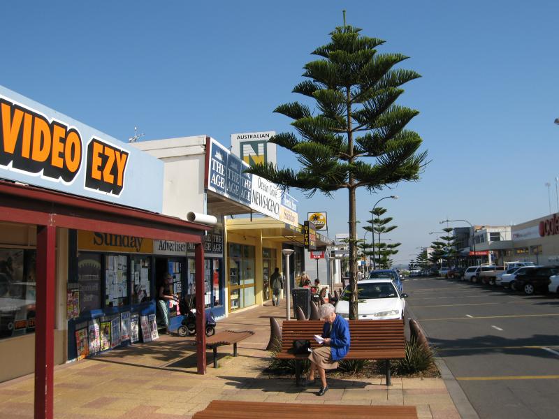
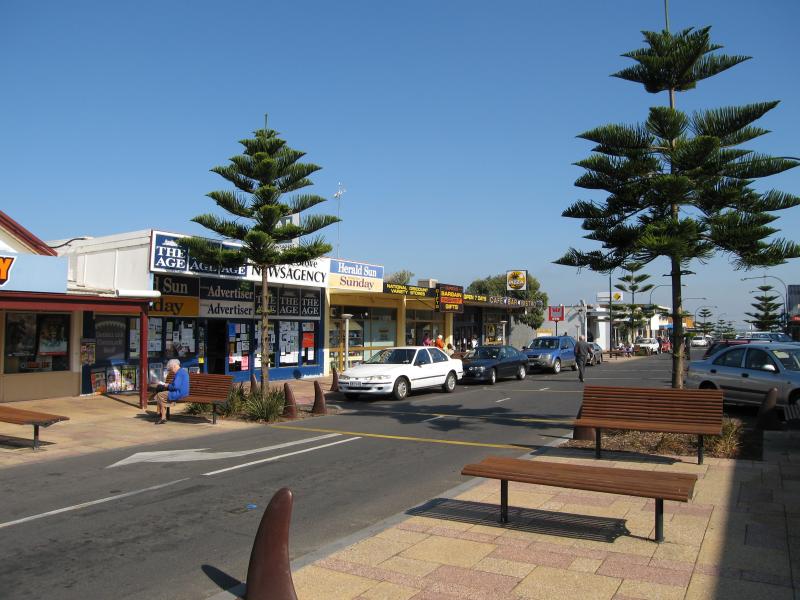
Shops and commercial centre, The Terrace and Hodgson Street - View west along The Terrace
Shops and commercial centre, The Terrace and Hodgson Street - View west along The Terrace
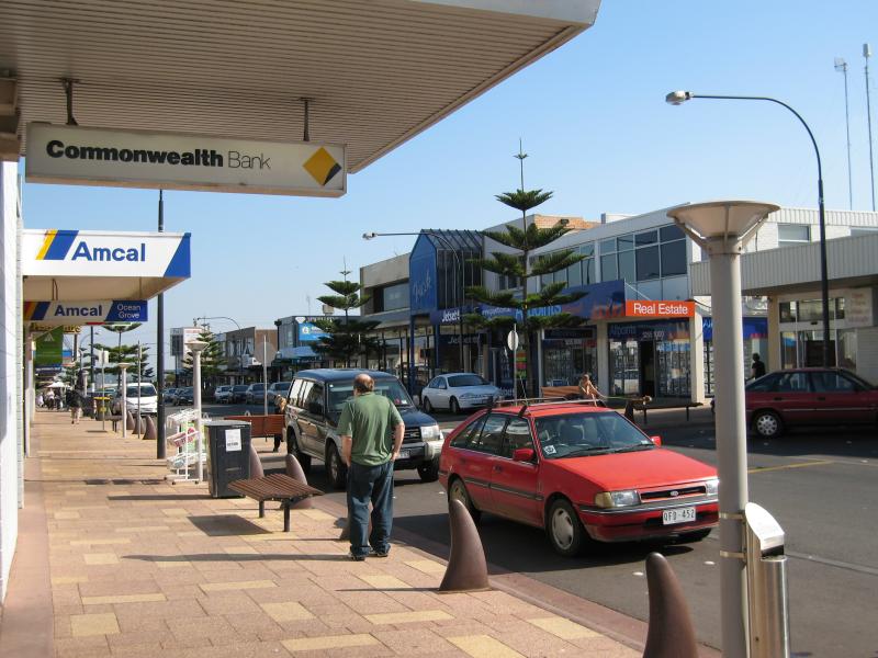
Shops and commercial centre, The Terrace and Hodgson Street - View east along The Terrace
Shops and commercial centre, The Terrace and Hodgson Street - View east along The Terrace
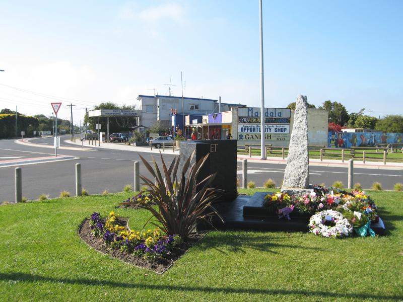
Shops and commercial centre, The Terrace and Hodgson Street - View east along The Terrace at Presidents Av
Shops and commercial centre, The Terrace and Hodgson Street - View north along Presidents Av at The Terrace
Shops and commercial centre, The Terrace and Hodgson Street - View east along The Terrace at Presidents Av
Shops and commercial centre, The Terrace and Hodgson Street - View south along Presidents Av at The Terrace
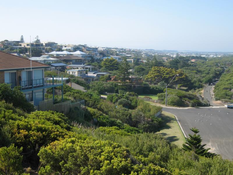
Views from lookout above Smiths Beach, Lookout Reserve Road - View north-east through residential area
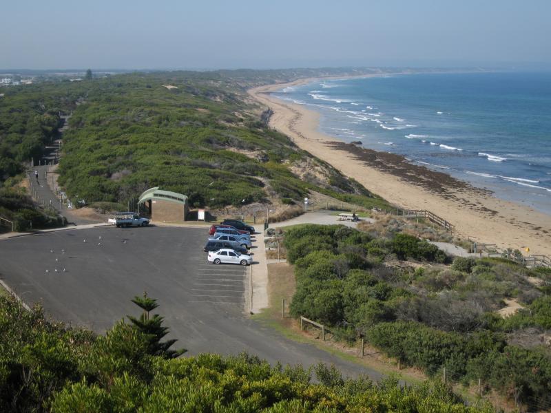
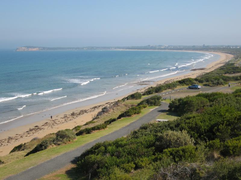
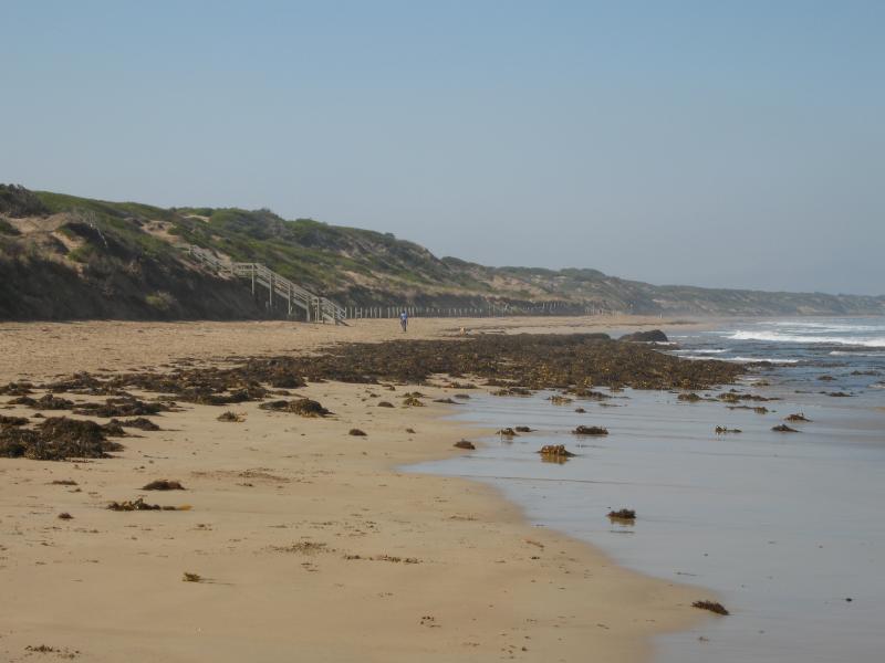
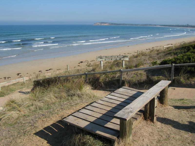
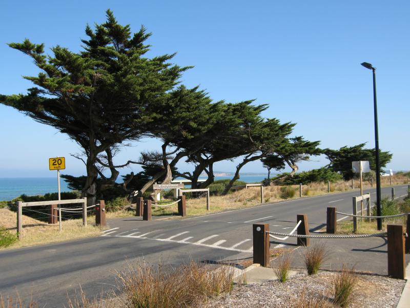
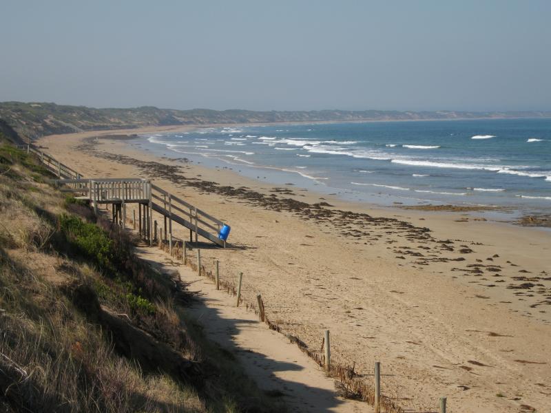
Views from lookout above Smiths Beach, Lookout Reserve Road - View east along coast towards car park at end of Hodgson St
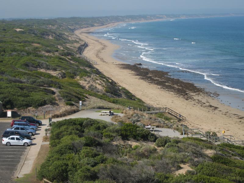
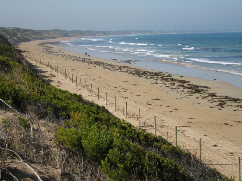
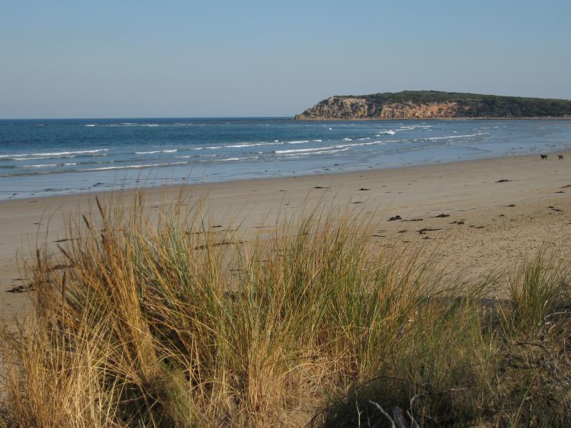
Views from lookout above Smiths Beach, Lookout Reserve Road - View east along coast
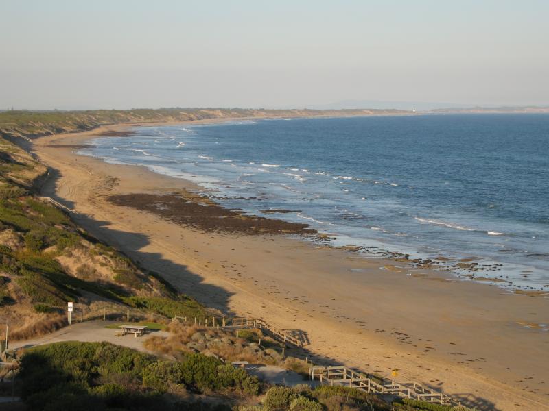
Views from lookout above Smiths Beach, Lookout Reserve Road - View south-east along coast towards Point Lonsdale
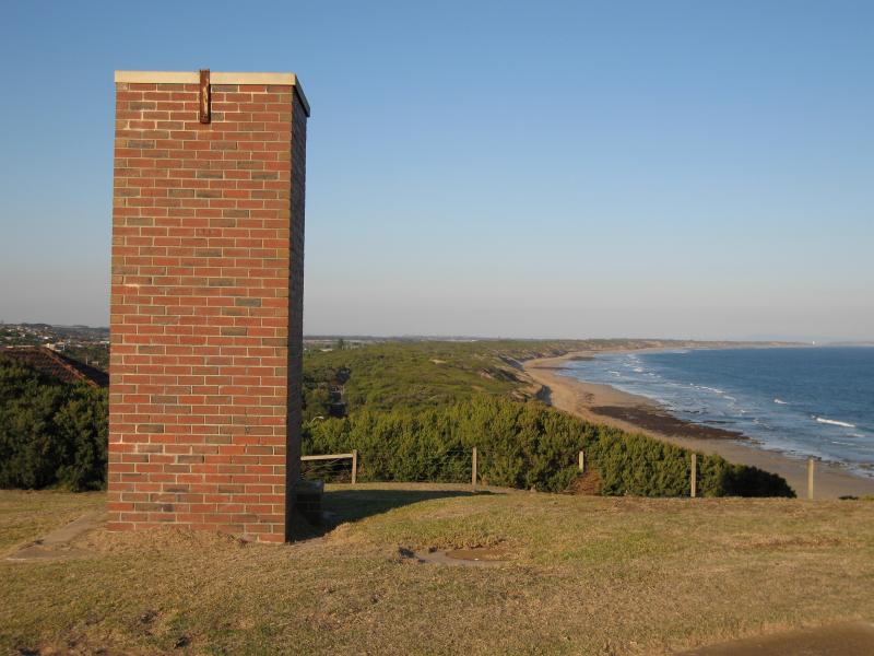
Views from lookout above Smiths Beach, Lookout Reserve Road - View east from lookout
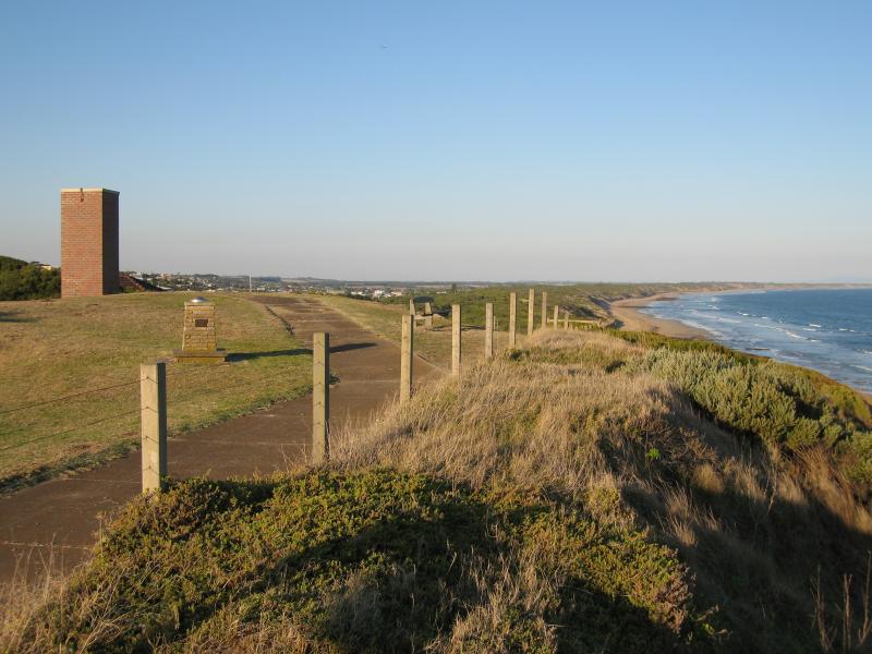
Views from lookout above Smiths Beach, Lookout Reserve Road - View east along cliff top
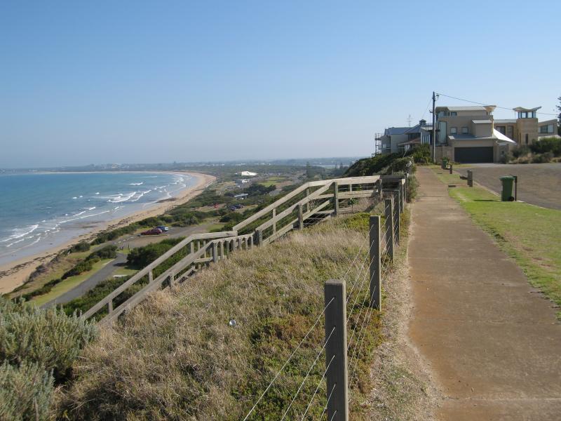
Views from lookout above Smiths Beach, Lookout Reserve Road - View west along cliff top and coast
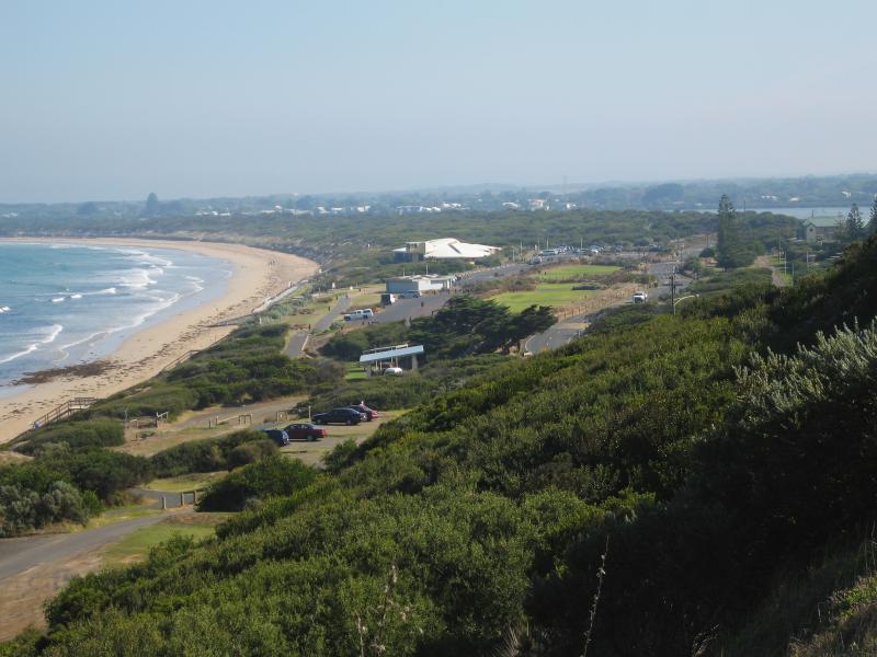
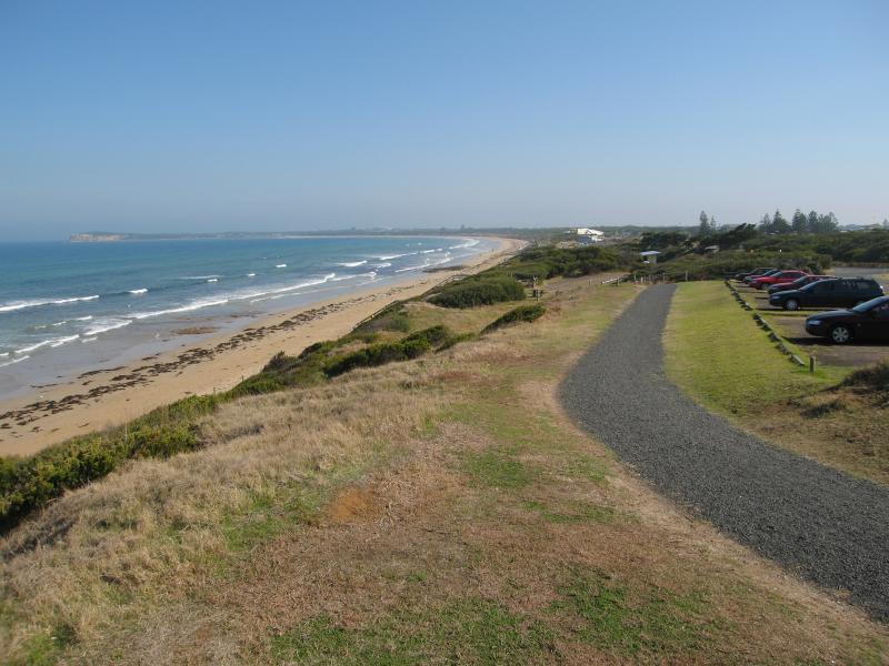
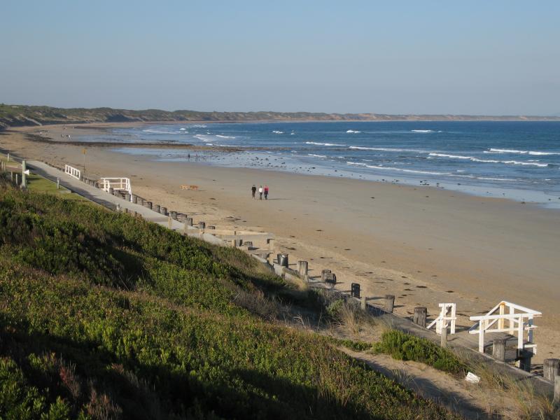
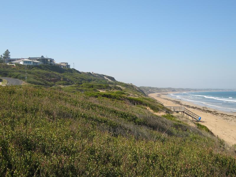
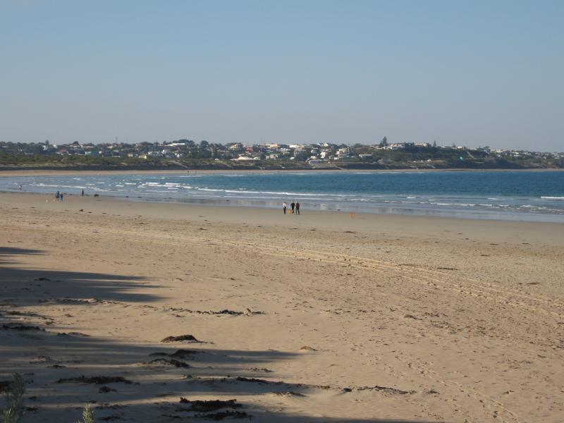
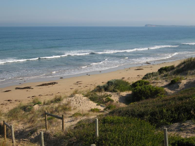
Views from lookout above Smiths Beach, Lookout Reserve Road - View west along coast towards Surf Beach
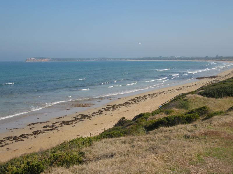
Views from lookout above Smiths Beach, Lookout Reserve Road - View south-west towards The Bluff at Barwon Heads
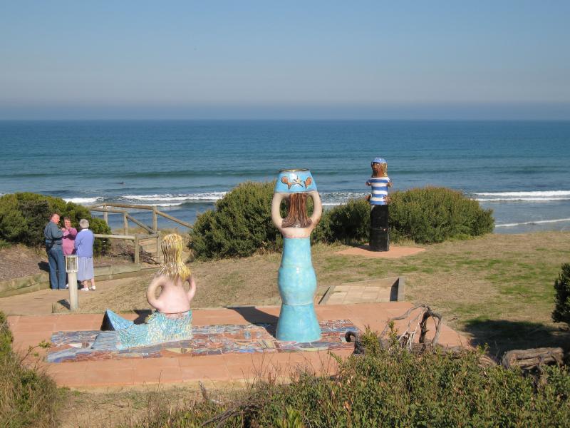
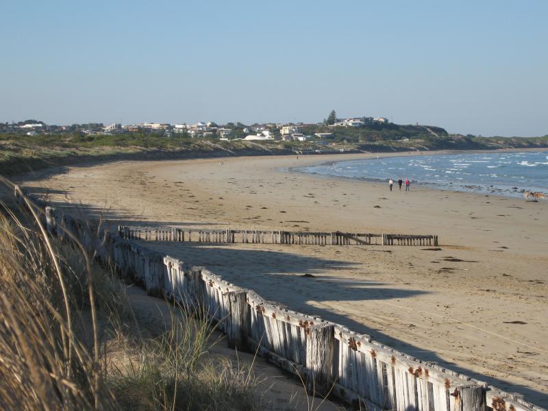
Smiths Beach - View south-west towards The Bluff from foreshore at end of Hodgson St
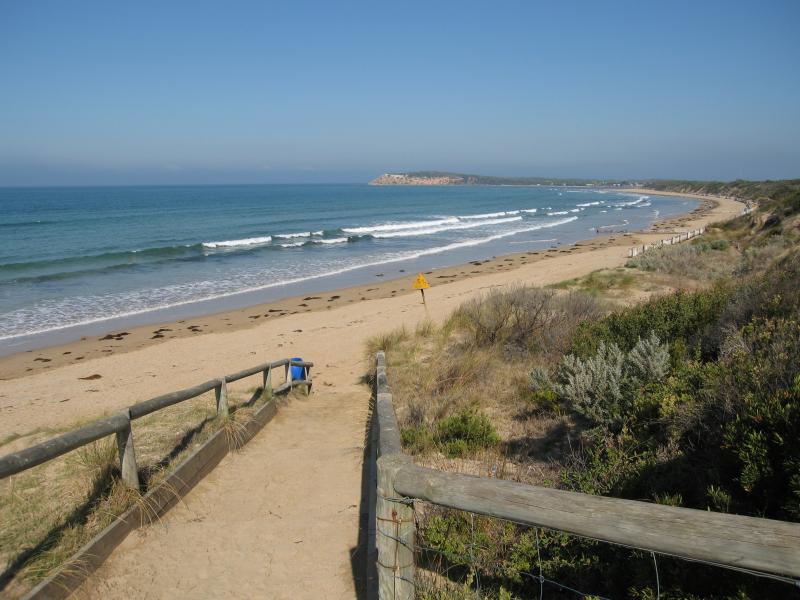
Smiths Beach - Foreshore at end of Hodgson St
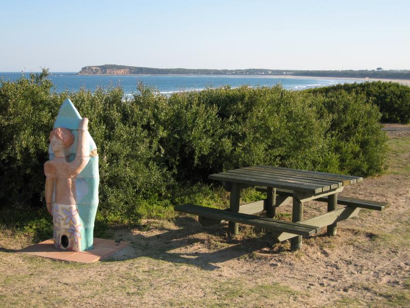
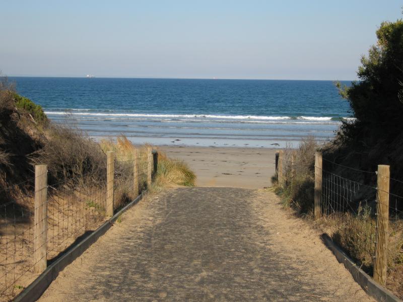
Smiths Beach - View west along coast from beach at end of Hodgson St
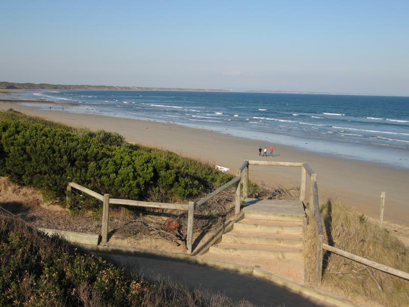
Smiths Beach - View west along beach at end of Hodgson St
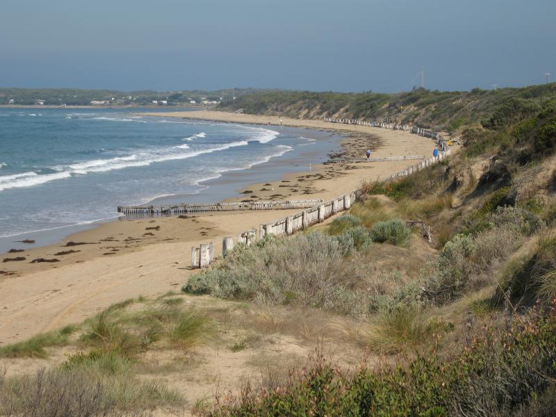
Smiths Beach - View west along foreshore walking track linking both ends of The Esplanade
Smiths Beach - View south-west along coast towards car park at end of Presidents Av
Smiths Beach - View south-west along coast towards The Bluff from foreshore at end of Presidents Av
Smiths Beach - View east along coast from foreshore at end of Presidents Av
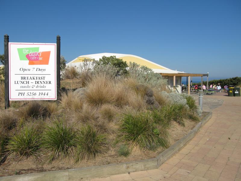
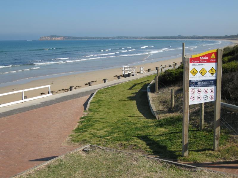
Surf Beach along Surf Beach Road and at Ocean Grove Surf Life Saving Club (SLSC) - View towards The Dunes Cafe & Bar from car park
Surf Beach along Surf Beach Road and at Ocean Grove Surf Life Saving Club (SLSC) - Outdoor seating at The Dunes Cafe & Bar overlooking beach
Surf Beach along Surf Beach Road and at Ocean Grove Surf Life Saving Club (SLSC) - Bollards on foreshore near The Dunes Cafe & Bar
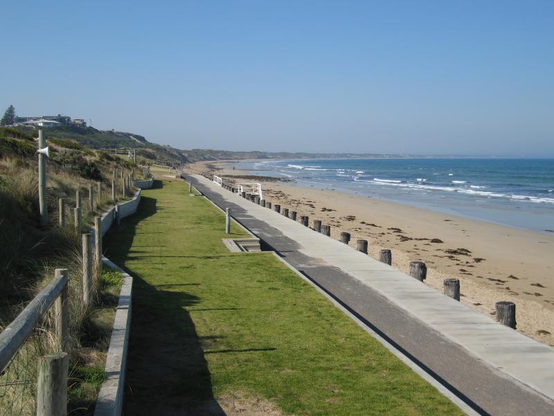
Surf Beach along Surf Beach Road and at Ocean Grove Surf Life Saving Club (SLSC) - View south-west along foreshore towards The Bluff at Barwon Heads
Surf Beach along Surf Beach Road and at Ocean Grove Surf Life Saving Club (SLSC) - View south-east along coast near SLSC
Surf Beach along Surf Beach Road and at Ocean Grove Surf Life Saving Club (SLSC) - View south-west along coast near SLSC
Surf Beach along Surf Beach Road and at Ocean Grove Surf Life Saving Club (SLSC) - View south-west along coast near SLSC
Surf Beach along Surf Beach Road and at Ocean Grove Surf Life Saving Club (SLSC) - View east along foreshore near SLSC
Surf Beach along Surf Beach Road and at Ocean Grove Surf Life Saving Club (SLSC) - View east along foreshore near SLSC
Surf Beach along Surf Beach Road and at Ocean Grove Surf Life Saving Club (SLSC) - View east along Surf Beach Rd
Surf Beach along Surf Beach Road and at Ocean Grove Surf Life Saving Club (SLSC) - Lawns between Surf Beach Rd and beach
Surf Beach along Surf Beach Road and at Ocean Grove Surf Life Saving Club (SLSC) - View west along Surf Beach Rd between Presidents Av and Field St
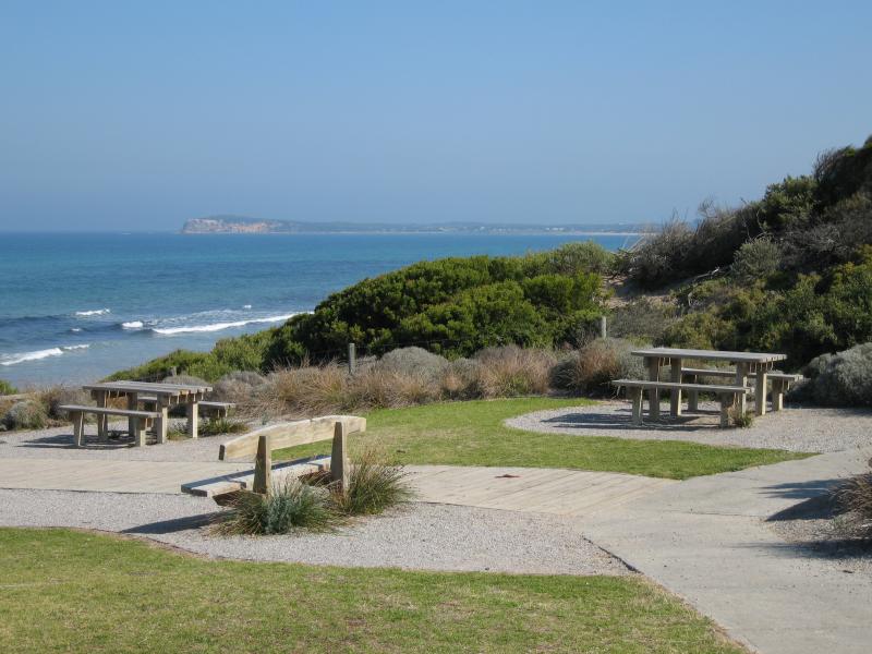
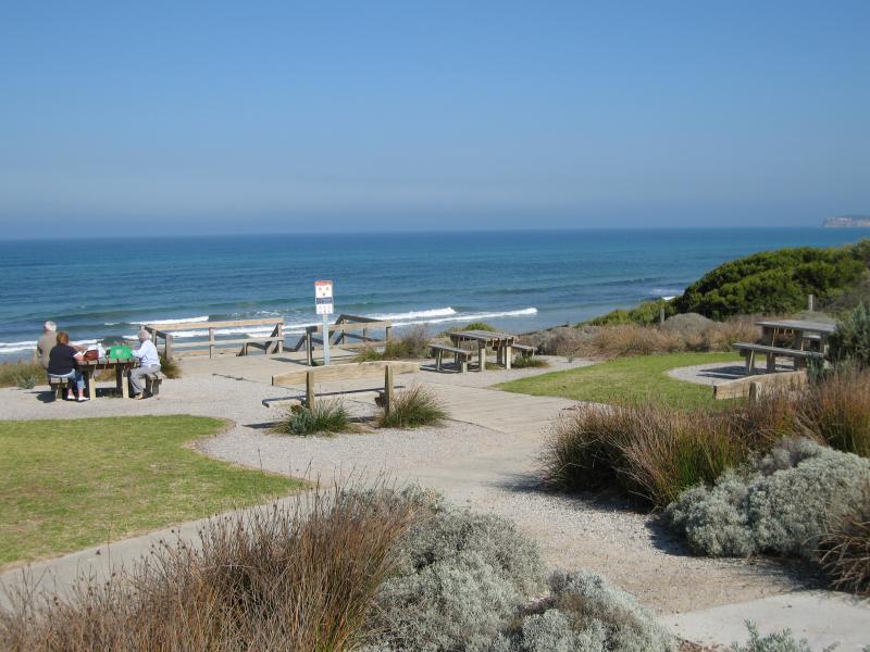
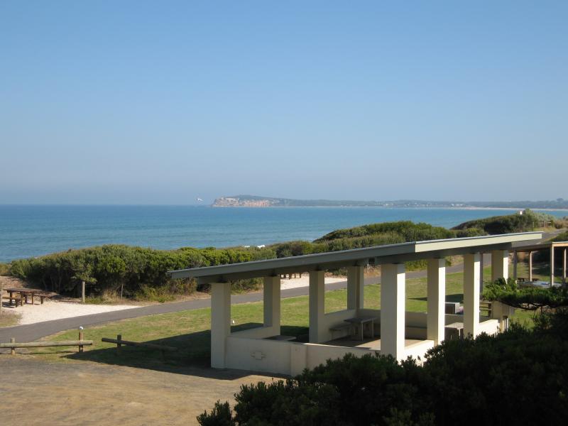
Surf Beach along Surf Beach Road and at Ocean Grove Surf Life Saving Club (SLSC) - View east along foreshore path towards BBQ shelter at end of Presidents Av
Surf Beach along Surf Beach Road and at Ocean Grove Surf Life Saving Club (SLSC) - View south-west across foreshore from shelter near end of Presidents Av
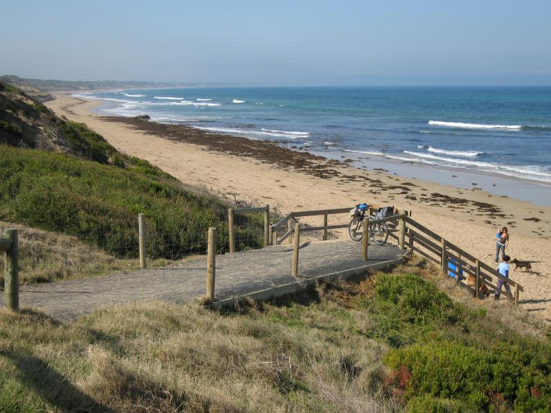
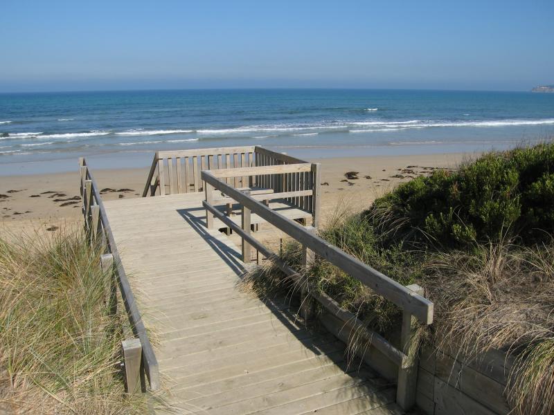
Surf Beach along Surf Beach Road and at Ocean Grove Surf Life Saving Club (SLSC) - Steps down to beach near end of Presidents Av
Surf Beach along Surf Beach Road and at Ocean Grove Surf Life Saving Club (SLSC) - View east along coast near end of Presidents Av
Surf Beach along Surf Beach Road and at Ocean Grove Surf Life Saving Club (SLSC) - View east along coast near end of Presidents Av
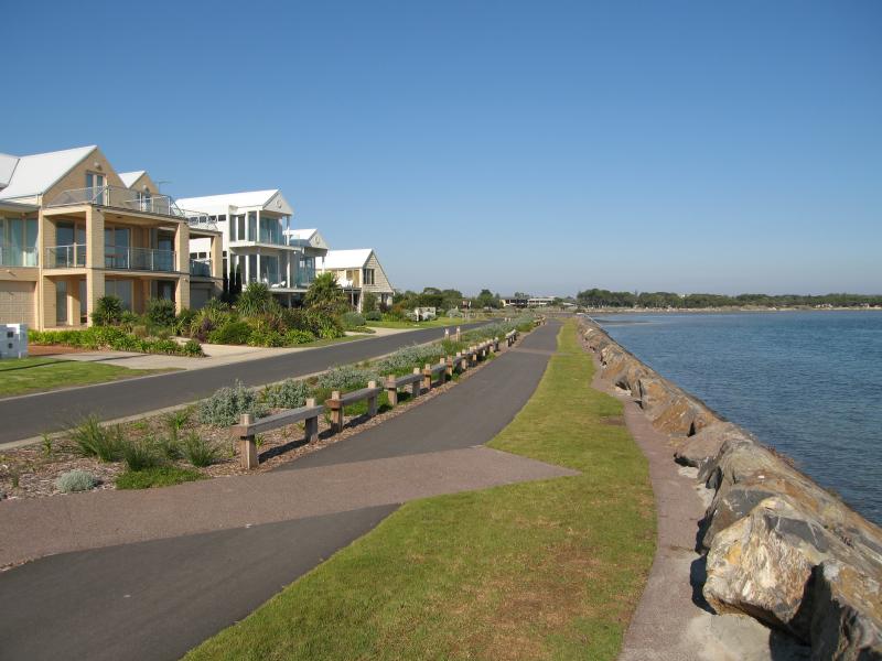
Coastline along Ingamells Bay - Beach at 20W access marker, view north-east towards Ocean Grove
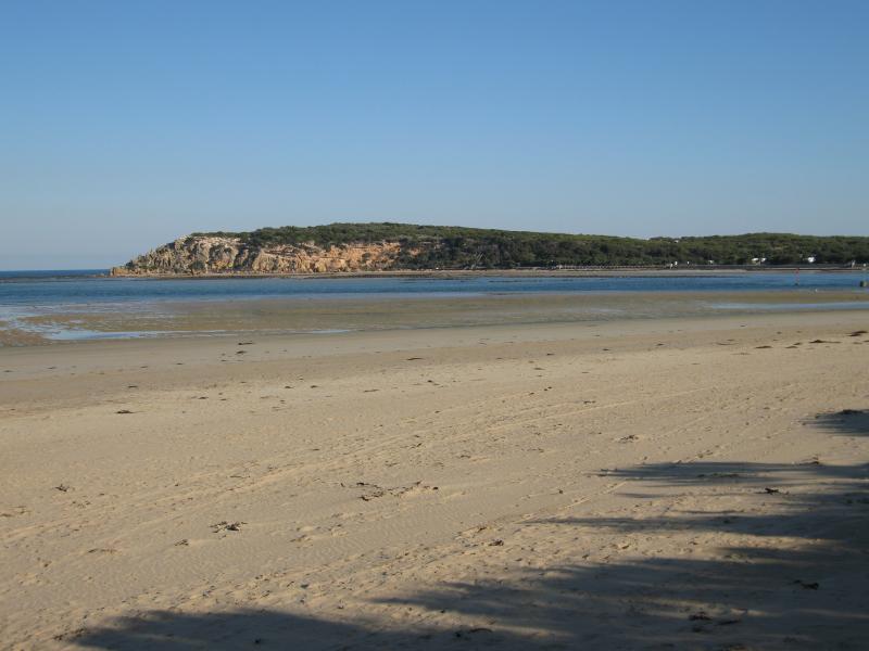
Coastline along Ingamells Bay - Beach at 20W access marker, view south towards The Bluff
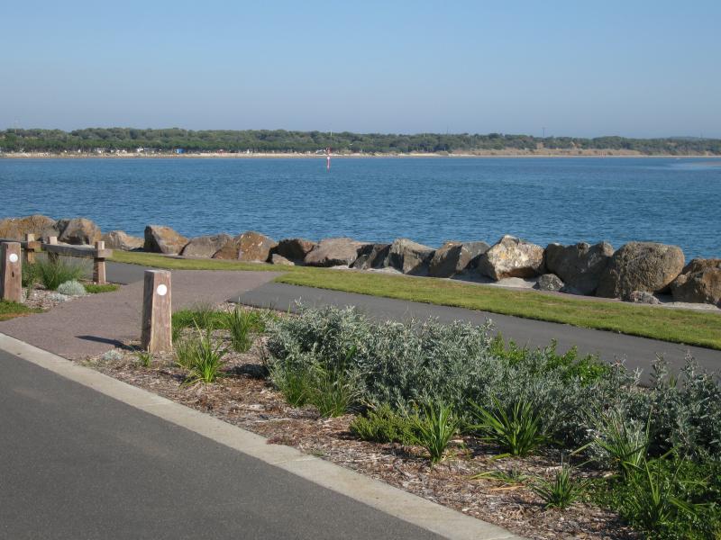
Coastline along Ingamells Bay - Beach at 18W access marker, walkway down to beach
Coastline along Ingamells Bay - Beach at 18W access marker, view south-west towards The Bluff
Coastline along Ingamells Bay - Beach at 18W access marker, view north-east along coast towards Ocean Grove
Coastline along Ingamells Bay - Beach at 17W access marker, view south towards The Bluff
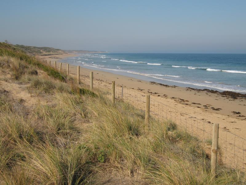
Coastline along Ingamells Bay - Beach at 17W access marker, view south-west along coast
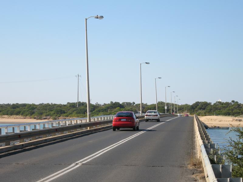
Coastline around Barwon Heads Bridge - View west along bridge towards Barwon Heads
Coastline around Barwon Heads Bridge - View east along bridge towards Ocean Grove
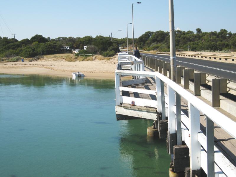
Coastline around Barwon Heads Bridge - View east along bridge towards beach and camping areas
Coastline around Barwon Heads Bridge - View west across Barwon River towards Barwon Heads from beach
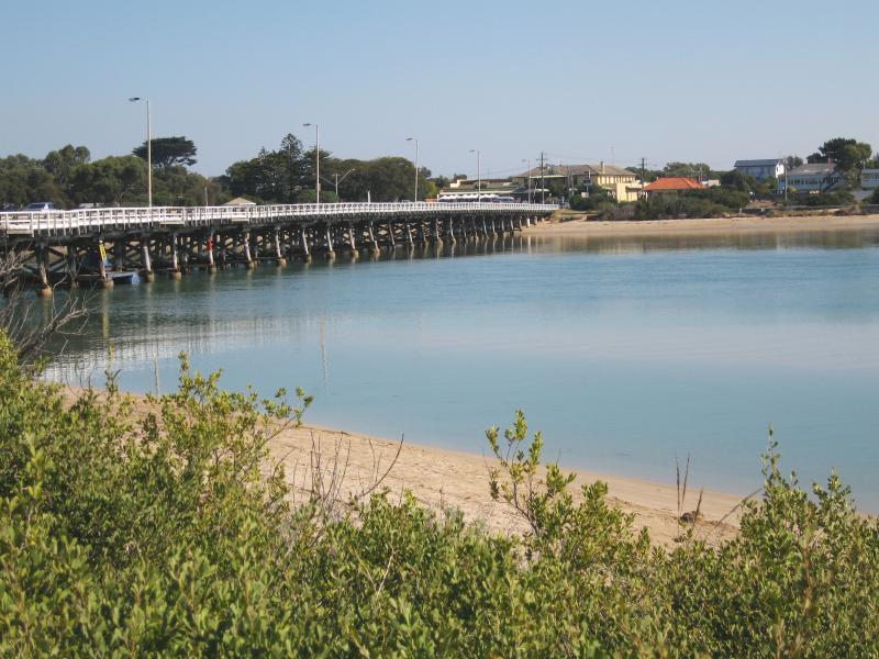
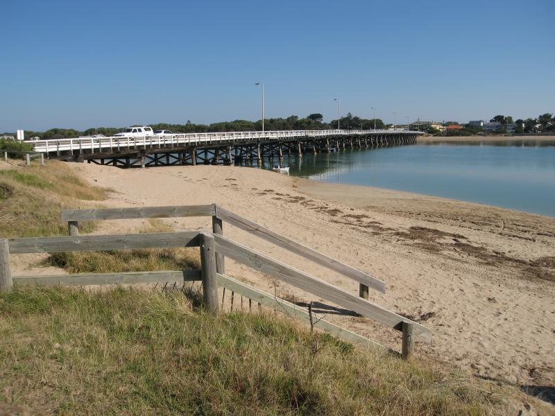
Coastline around Barwon Heads Bridge - View south along Barwon River towards bridge from beach
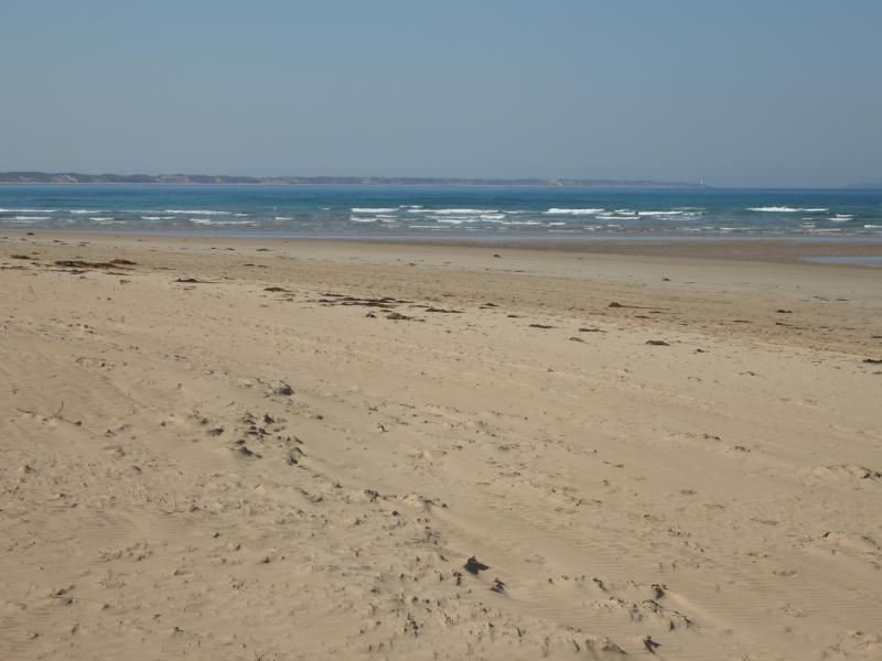
Sandy Point at Barwon River mouth - View east towards Point Lonsdale
Sandy Point at Barwon River mouth - View south towards The Bluff
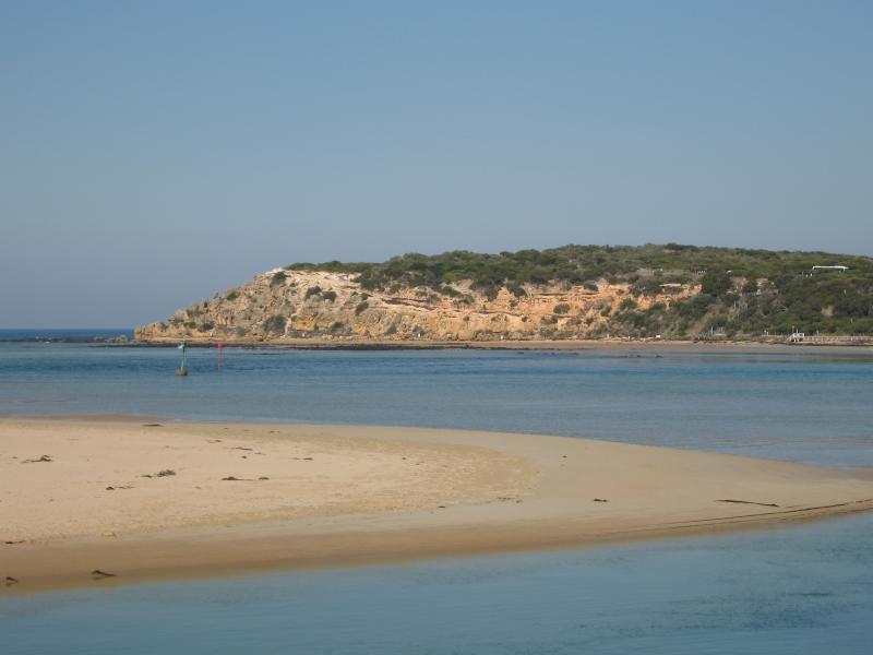
Sandy Point at Barwon River mouth - View south-west across Barwon River mouth
Sandy Point at Barwon River mouth - View south-west towards jetty and 'At The Heads bar/restaurant' at Barwon Heads
Sandy Point at Barwon River mouth - View west across river mouth
Sandy Point at Barwon River mouth - View west across river at Barwon Heads Bridge
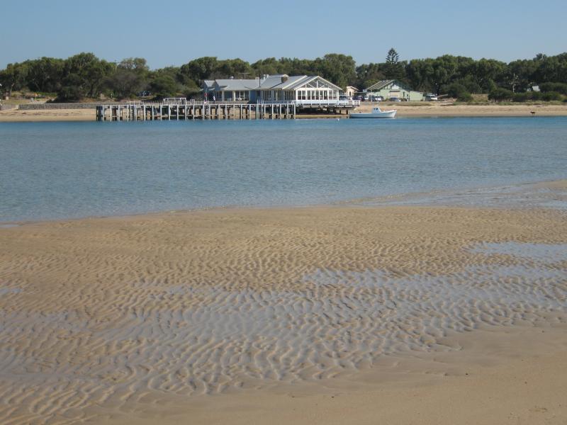
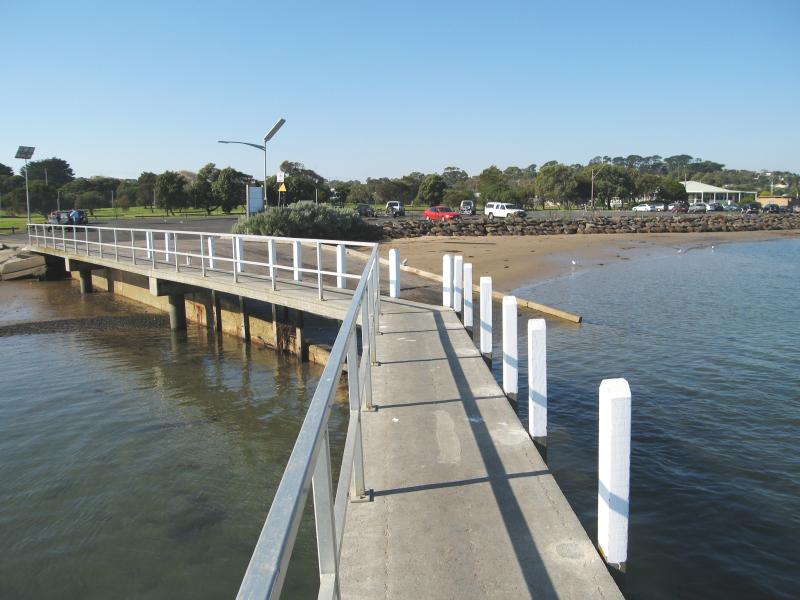
Jetty and boat ramp area, Barwon River, Guthridge Street and Peers Crescent - View along jetty back to shore and boat ramp
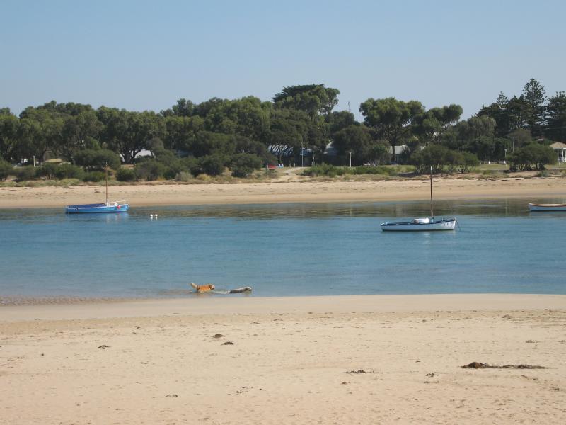
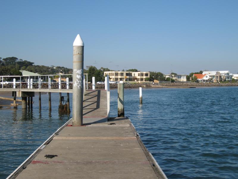
Jetty and boat ramp area, Barwon River, Guthridge Street and Peers Crescent - View south-east along river from jetty
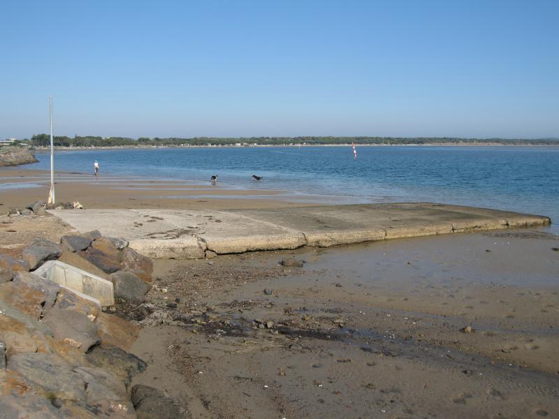
Jetty and boat ramp area, Barwon River, Guthridge Street and Peers Crescent - View south-east along Barwon River at boat ramp at end of Guthridge St
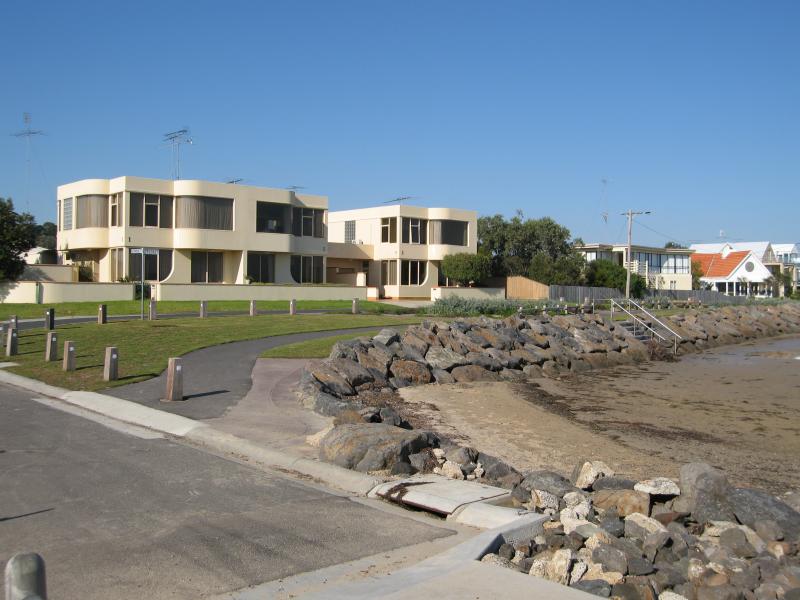
Jetty and boat ramp area, Barwon River, Guthridge Street and Peers Crescent - View south-east along coastline and Peers Cr at Guthridge St
Jetty and boat ramp area, Barwon River, Guthridge Street and Peers Crescent - View south-east along Peers Cr and river towards Parker St
Jetty and boat ramp area, Barwon River, Guthridge Street and Peers Crescent - View south-west across river from Peer Cr near Parker St
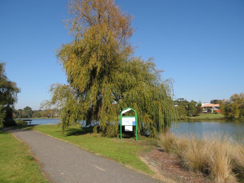
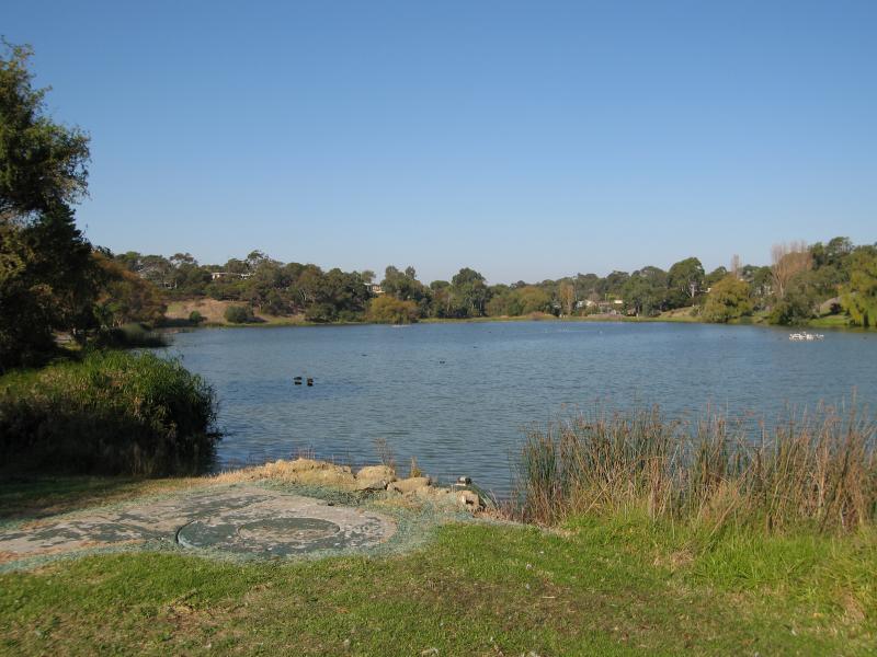
Blue Waters Lake, Blue Waters Drive - View east towards lake from near Blue Waters Drive
Blue Waters Lake, Blue Waters Drive - View south across lake from near Blue Waters Drive
Blue Waters Lake, Blue Waters Drive - View east along lake
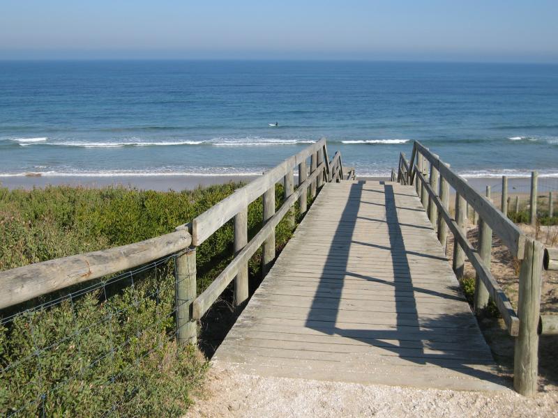
Beach at end of Bonnyvale Road - Walkway and steps down to beach
Beach at end of Bonnyvale Road - View south-west across beach towards The Bluff
Beach at end of Bonnyvale Road - View east along foreshore
Beach at end of Bonnyvale Road - View east along beach
Begola Wetlands Reserve, Emperor Drive and Tuckfield Street - View south-east to wetlands from Emperor Dr at Tuckfield St
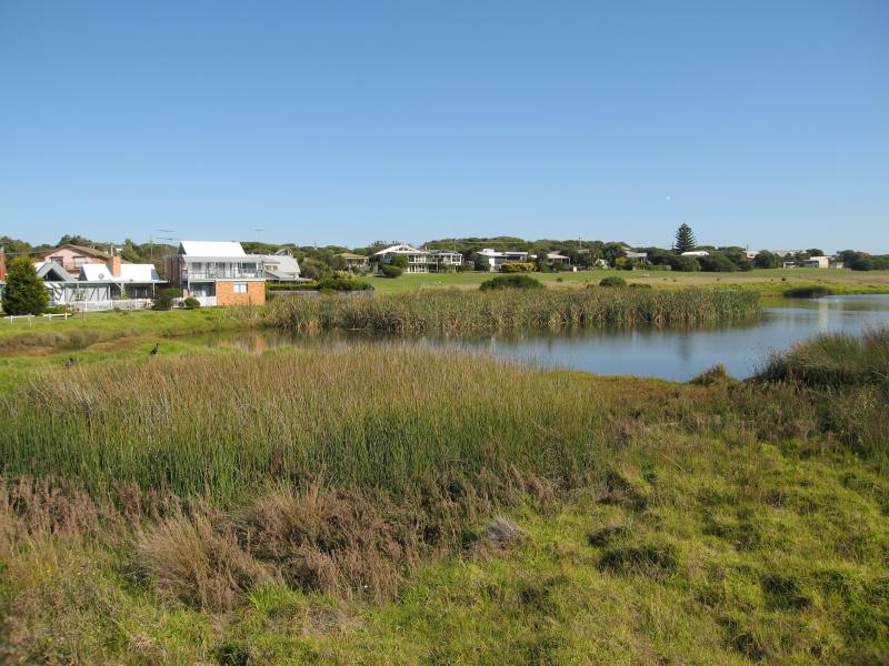
Begola Wetlands Reserve, Emperor Drive and Tuckfield Street - View south-east across lake at wetlands from Emperor Dr at Tuckfield St
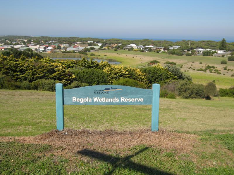
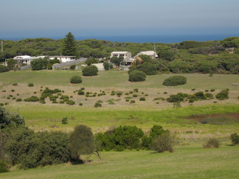
Begola Wetlands Reserve, Emperor Drive and Tuckfield Street - View south across reserve towards the ocean
Begola Wetlands Reserve, Emperor Drive and Tuckfield Street - View west through wetlands from Emperor Dr at Roditis Dr
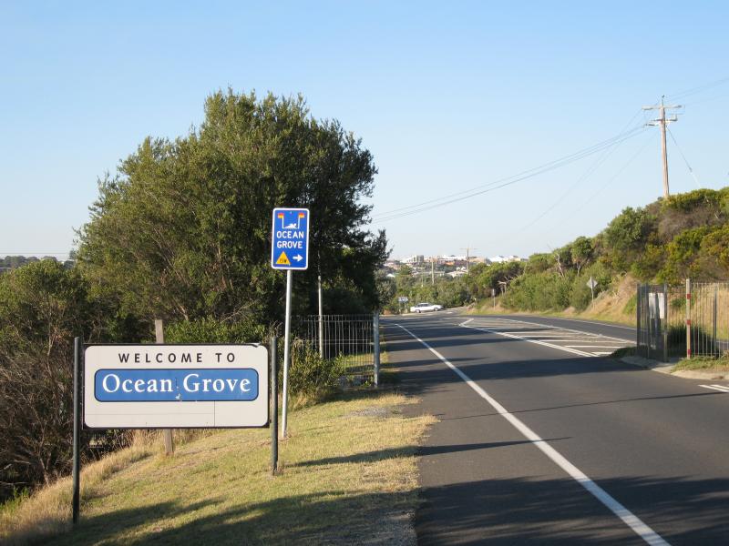
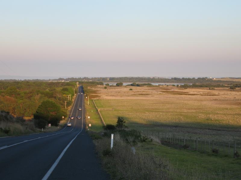
Around Ocean Grove - Ocean Grove town sign, view north-east along Barwon Heads - Ocean Grove Rd towards Surf Beach Rd
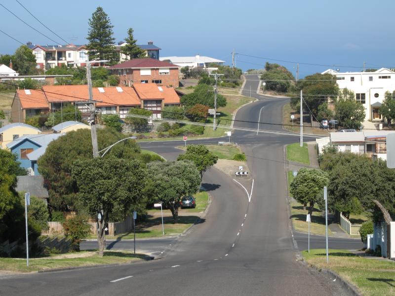
Around Ocean Grove - View south along Presidents Av towards Dare St and Orton St
Around Ocean Grove - View south-west towards The Bluff from Presidents Av near Dare St
Around Ocean Grove - View south along Tuckfield St towards The Parade
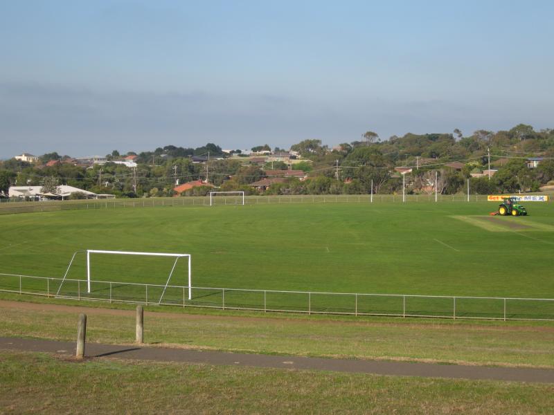
Around Ocean Grove - View south across Shell Road Reserve from Shell Rd
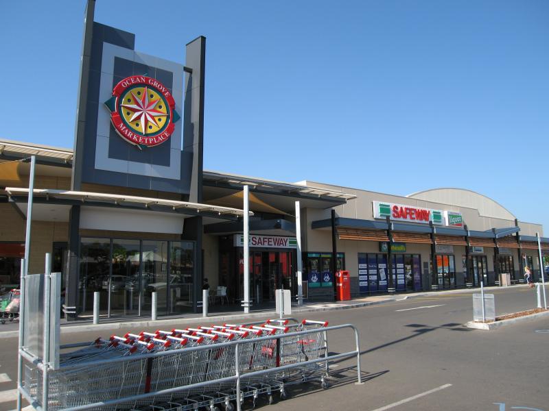
Around Ocean Grove - Ocean Grove Marketplace shopping centre, Shell Rd
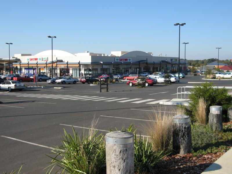
Around Ocean Grove - View of Ocean Grove Marketplace shopping centre from Shell Rd
Around Ocean Grove - View south-east along Shell Rd near Banks Rd towards Lake Victoria