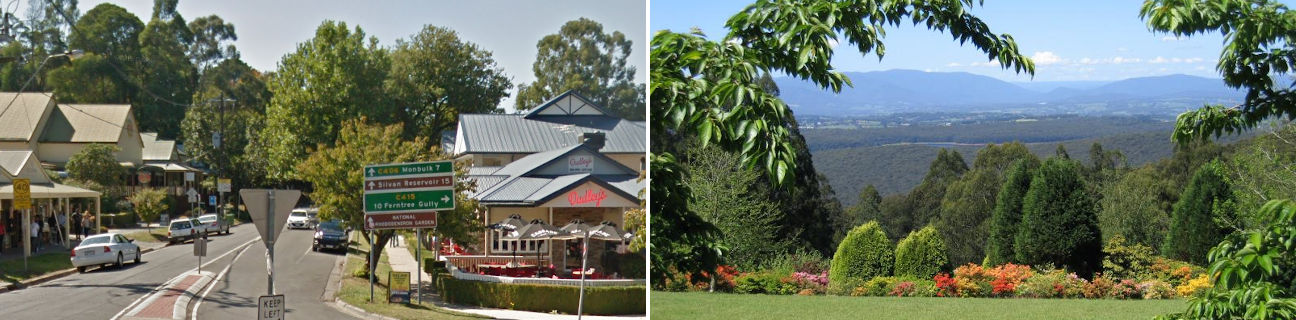
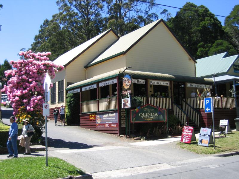
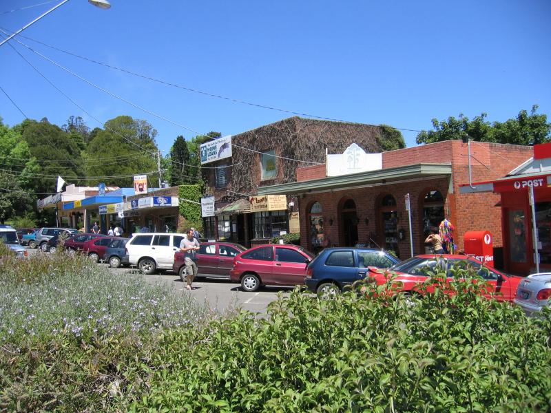
Commercial centre and shops, Mt Dandenong Tourist Road at Monbulk Road - Olinda Terrace and Pie In The Sky Cafe, Monbulk Rd
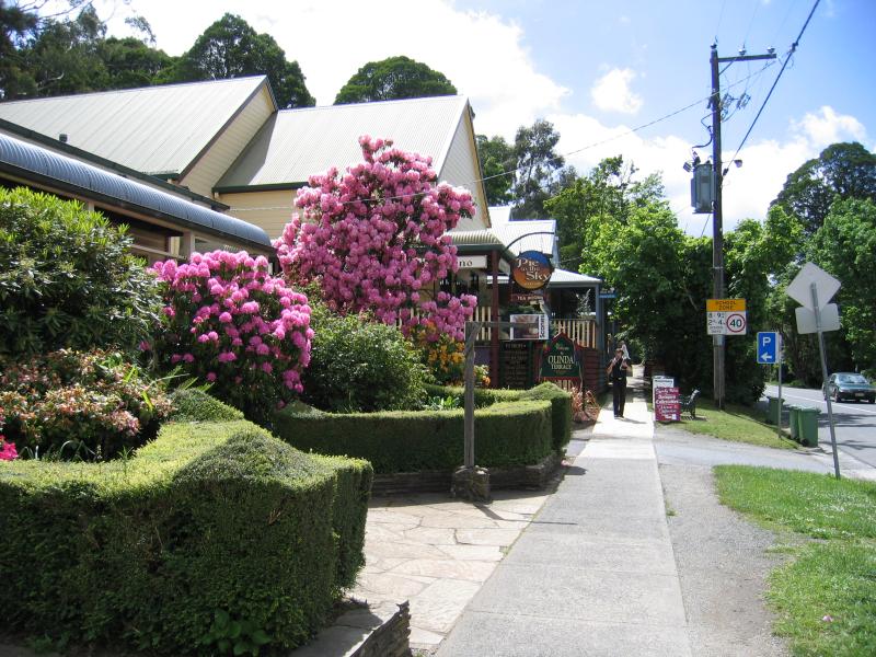
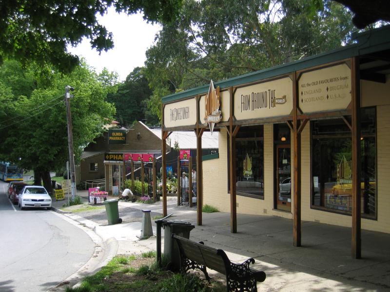
Commercial centre and shops, Mt Dandenong Tourist Road at Monbulk Road - View east along Monbulk Rd
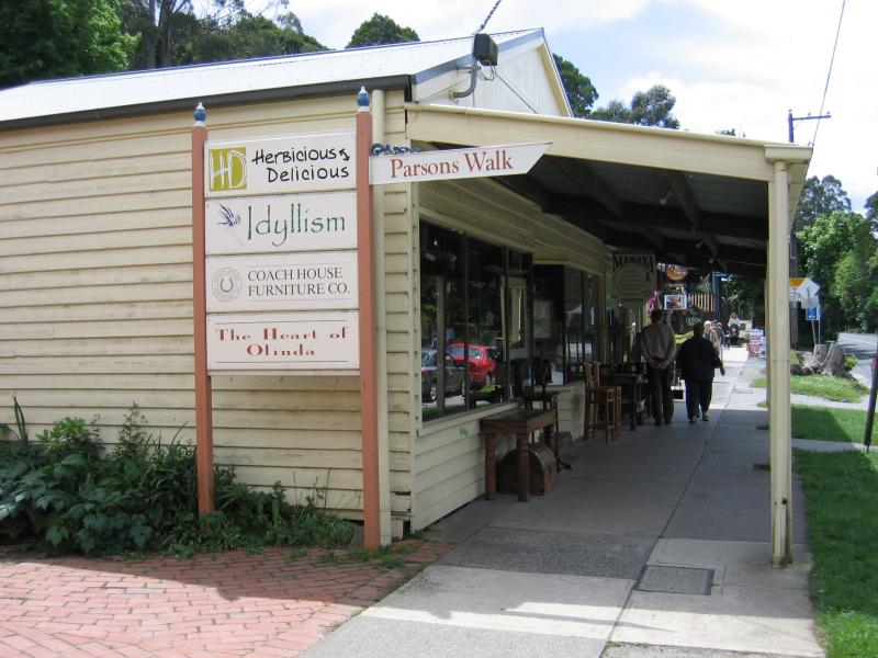
Commercial centre and shops, Mt Dandenong Tourist Road at Monbulk Road - Entrance to Parsons Walk, Monbulk Rd
Commercial centre and shops, Mt Dandenong Tourist Road at Monbulk Road - View north along Parsons Walk towards Coach House Furniture Company
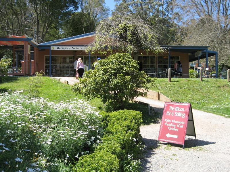
Commercial centre and shops, Mt Dandenong Tourist Road at Monbulk Road - Herbicious Delicious, Parsons Walk
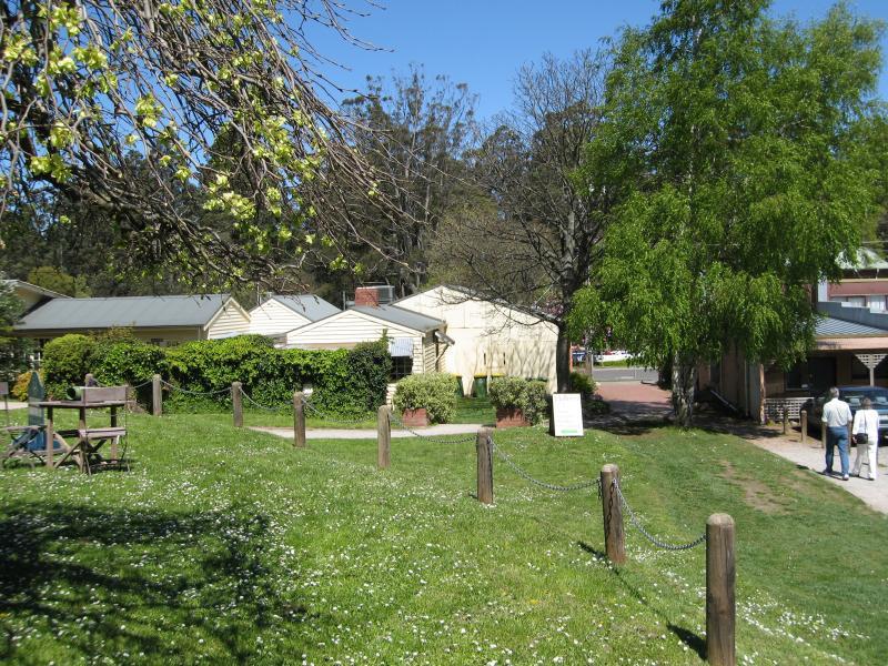
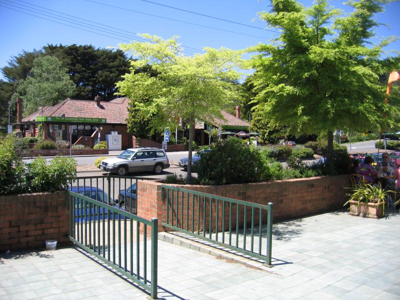
Commercial centre and shops, Mt Dandenong Tourist Road at Monbulk Road - Lawns surrounding Parsons Walk
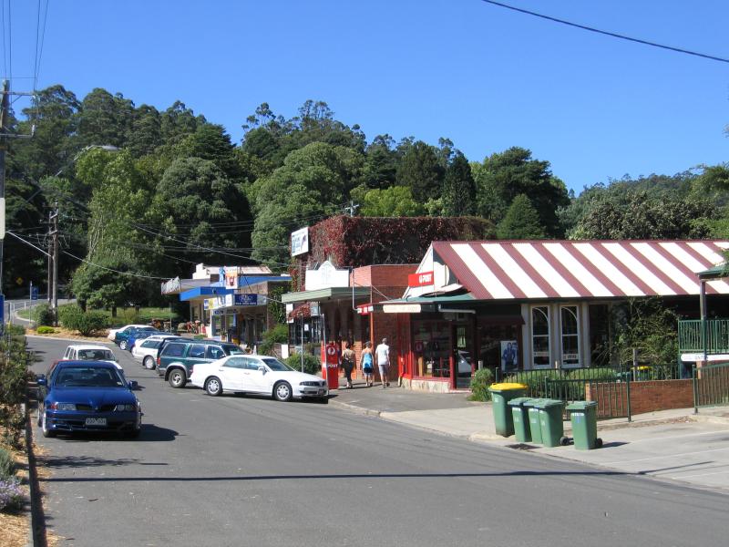
Commercial centre and shops, Mt Dandenong Tourist Road at Monbulk Road - View west along Monbulk Rd towards Mt Dandenong Tourist Rd
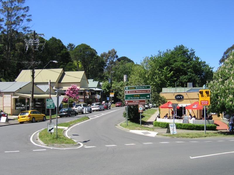
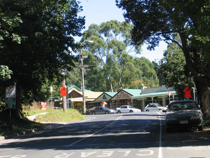
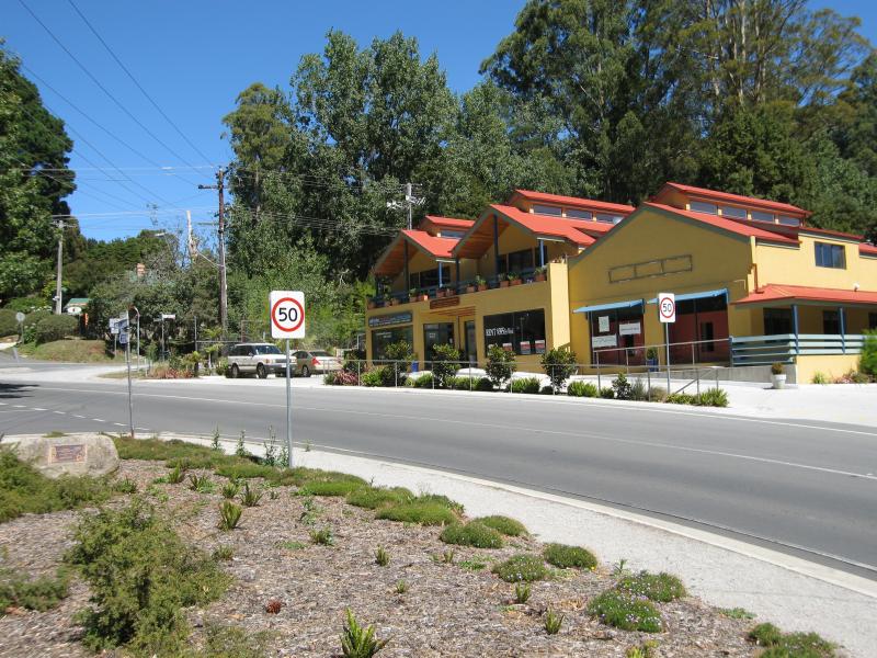
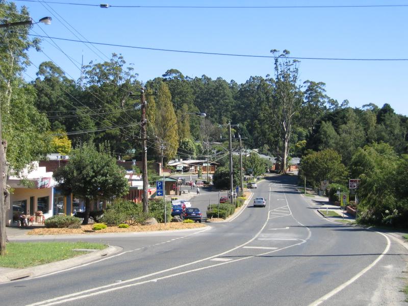
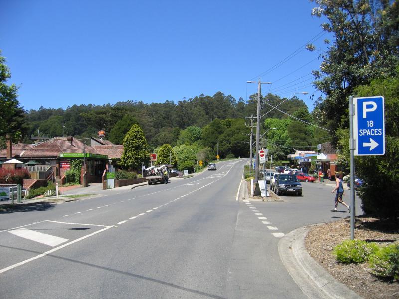
Commercial centre and shops, Mt Dandenong Tourist Road at Monbulk Road - View east along Monbulk Rd at Mt Dandenong Tourist Rd
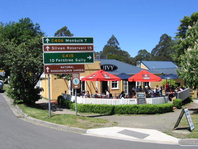
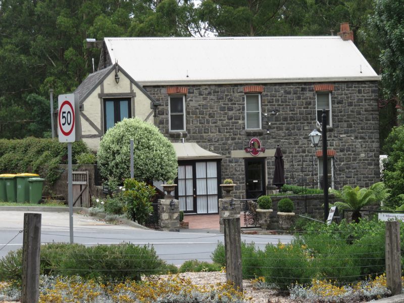
Commercial centre and shops, Mt Dandenong Tourist Road at Monbulk Road - The Ivy, corner Monbulk Rd and Mt Dandenong Tourist Rd
Commercial centre and shops, Mt Dandenong Tourist Road at Monbulk Road - Geppetto's Workshop, Monbulk Rd near Mt Dandenong Tourist Rd
Commercial centre and shops, Mt Dandenong Tourist Road at Monbulk Road - View west along Monbulk Rd towards Mt Dandenong Tourist Rd
Commercial centre and shops, Mt Dandenong Tourist Road at Monbulk Road - View north-west along Mt Dandenong Tourist Rd towards Monbulk Rd
Commercial centre and shops, Mt Dandenong Tourist Road at Monbulk Road - View east along Mt Dandenong Tourist Rd towards Monbulk Rd
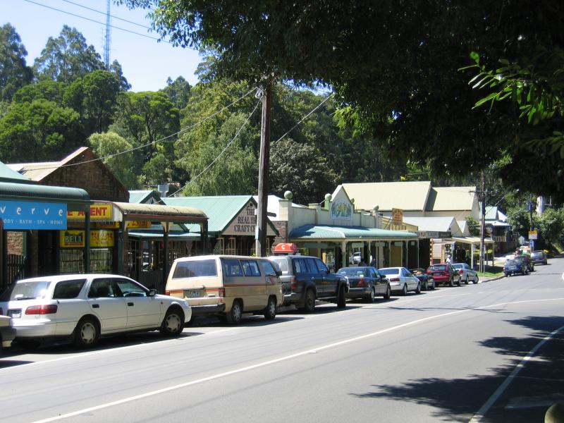
Commercial centre and shops, Mt Dandenong Tourist Road at Monbulk Road - View west along Mt Dandenong Tourist Rd towards Range Rd
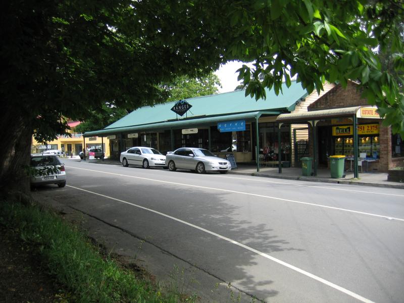
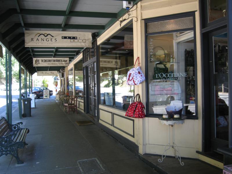
Commercial centre and shops, Mt Dandenong Tourist Road at Monbulk Road - Ranges Cafe & Bar, Mt Dandenong Tourist Rd
Commercial centre and shops, Mt Dandenong Tourist Road at Monbulk Road - Corner of Mt Dandenong Tourist Rd and Range Rd
Commercial centre and shops, Mt Dandenong Tourist Road at Monbulk Road - Loft In the Mill B&B, corner Mt Dandenong Tourist Rd and Harold St
Commercial centre and shops, Mt Dandenong Tourist Road at Monbulk Road - View north along Monash Av at Mt Dandenong Tourist Rd
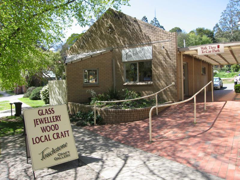
Commercial centre and shops, Mt Dandenong Tourist Road at Monbulk Road - Touchstone Craft Gallery, Monash Av
Commercial centre and shops, Mt Dandenong Tourist Road at Monbulk Road - View south along Monash Av and Mt Dandenong Tourist Rd at Parsons La towards toilet block
Commercial centre and shops, Mt Dandenong Tourist Road at Monbulk Road - View north along Mt Dandenong Tourist Rd at Parsons La
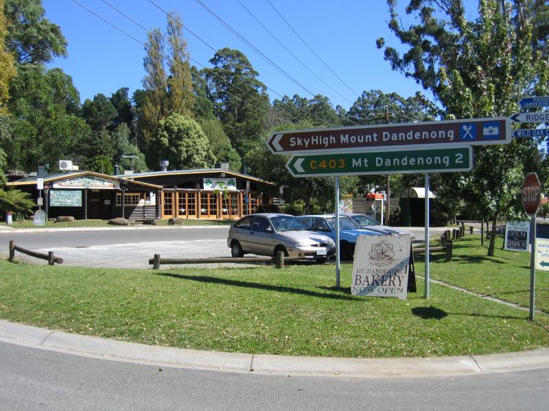
Commercial centre and shops, Mt Dandenong Tourist Road at Ridge Road - View north along Mt Dandenong Tourist Rd towards Basin-Olinda Rd
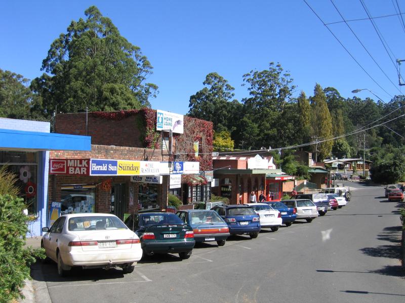
Commercial centre and shops, Mt Dandenong Tourist Road at Ridge Road - Shops, view north along service road
Commercial centre and shops, Mt Dandenong Tourist Road at Ridge Road - Shops, view south along service road
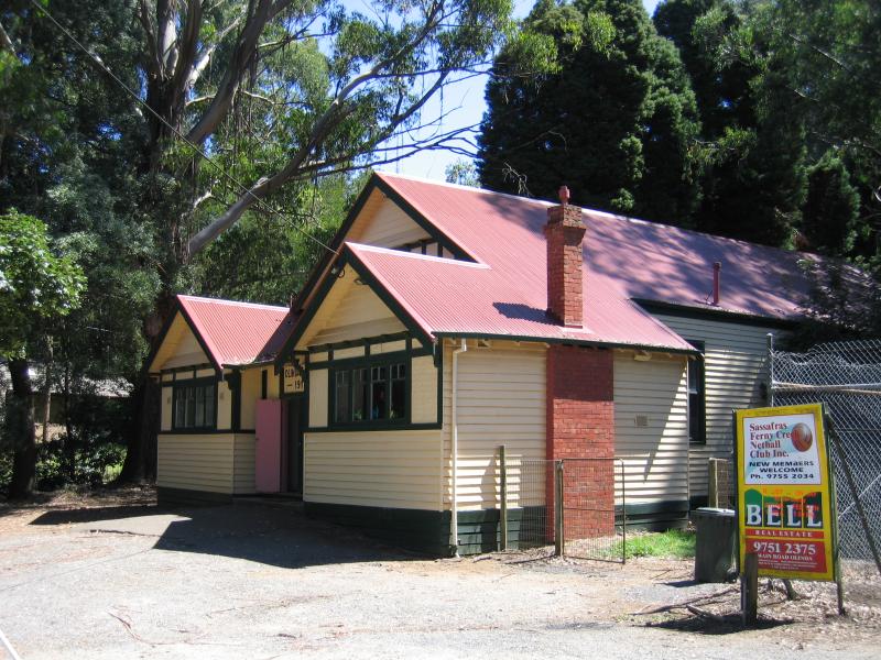
Commercial centre and shops, Mt Dandenong Tourist Road at Ridge Road - Post office, view south along service road
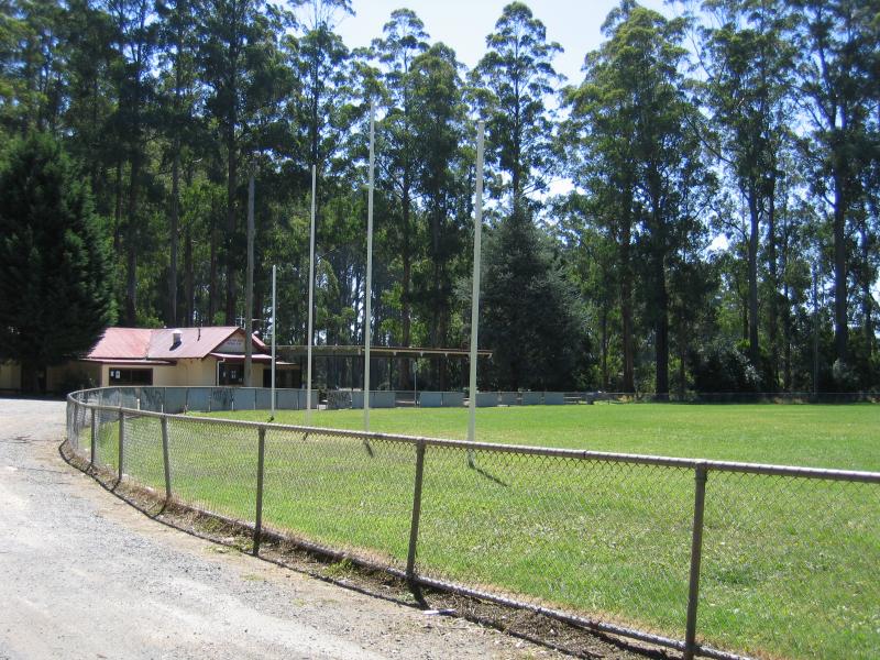
Commercial centre and shops, Mt Dandenong Tourist Road at Ridge Road - View east from shops across to Mt Dandenong Hotel
Commercial centre and shops, Mt Dandenong Tourist Road at Ridge Road - View south along service road at Ridge Rd
Commercial centre and shops, Mt Dandenong Tourist Road at Ridge Road - View south along Mt Dandenong Tourist Rd at Ridge Rd
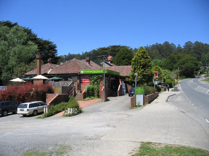
Commercial centre and shops, Mt Dandenong Tourist Road at Ridge Road - Mt Dandenong Hotel, Mt Dandenong Tourist Rd
Commercial centre and shops, Mt Dandenong Tourist Road at Ridge Road - Corner of Mt Dandenong Tourist Rd and Ridge Rd
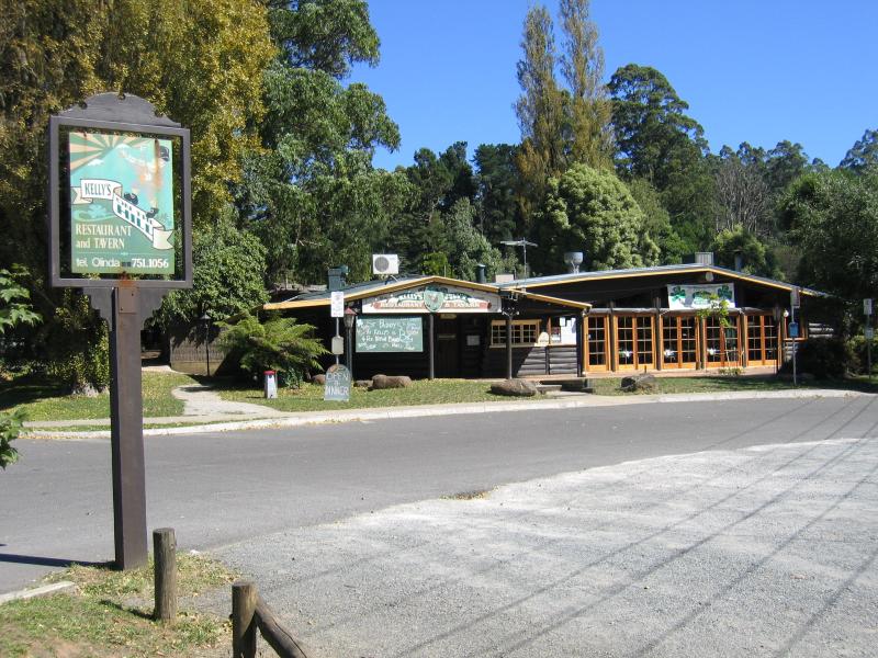
Commercial centre and shops, Mt Dandenong Tourist Road at Ridge Road - Kellys On The Hill, corner Mt Dandenong Tourist Rd and Ridge Rd
Commercial centre and shops, Mt Dandenong Tourist Road at Ridge Road - Wild Oak Restaurant, view east along Ridge Rd towards Mt Dandenong Tourist Rd
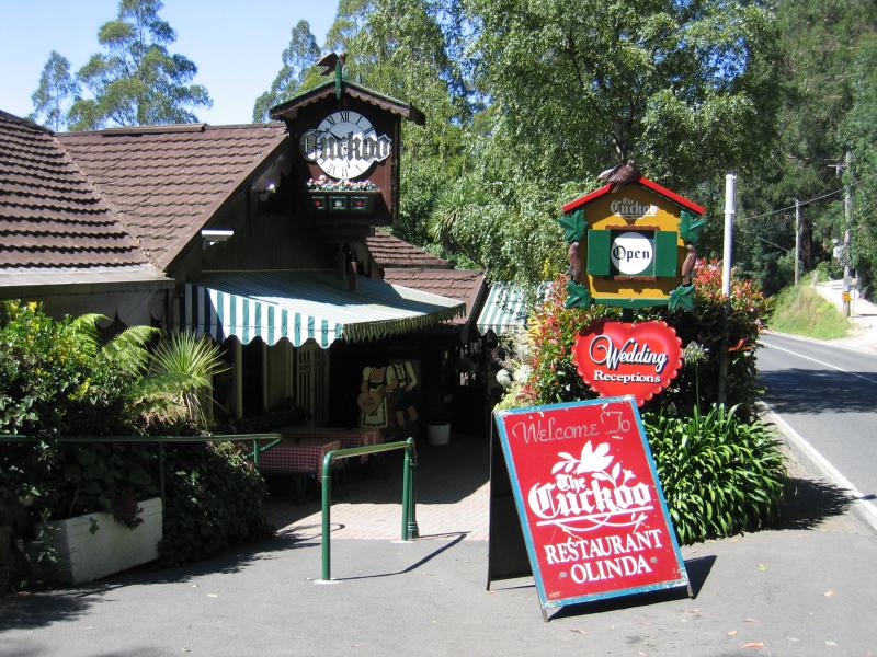
Around Olinda - The Cuckoo Restaurant, Mt Dandenong Tourist Rd
Around Olinda - View north-west along Mt Dandenong Tourist Rd at Everest Cr
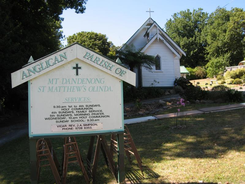
Around Olinda - St Matthew's Anglican Church, Monash Av
Around Olinda - View south along Mt Dandenong Tourist Rd and Monash Av at northern junction
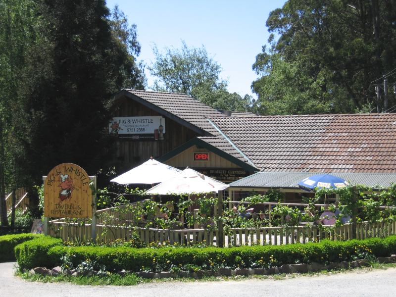
Around Olinda - Pig & Whistle Tavern, Mt Dandenong Tourist Rd at Dickens Rd
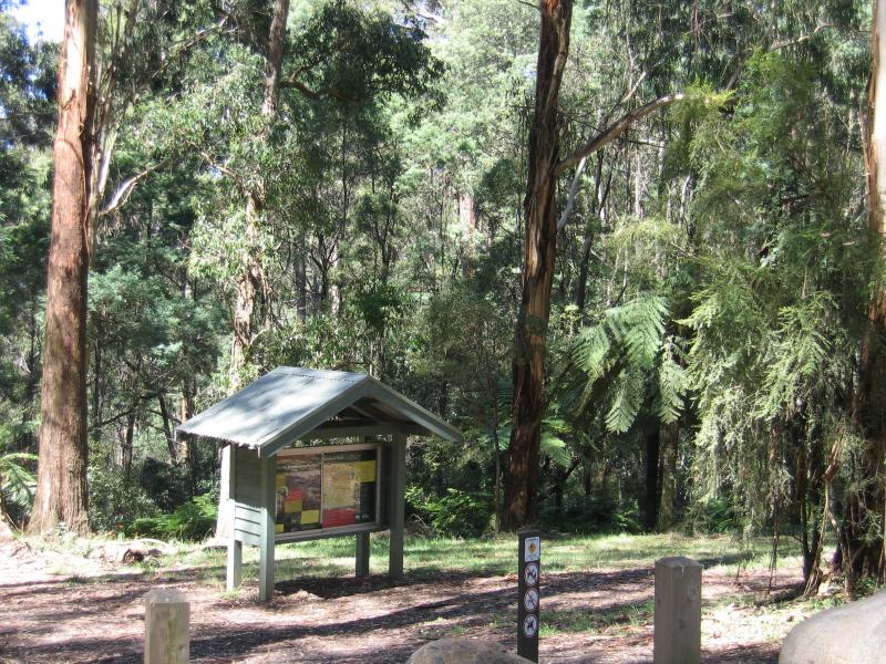
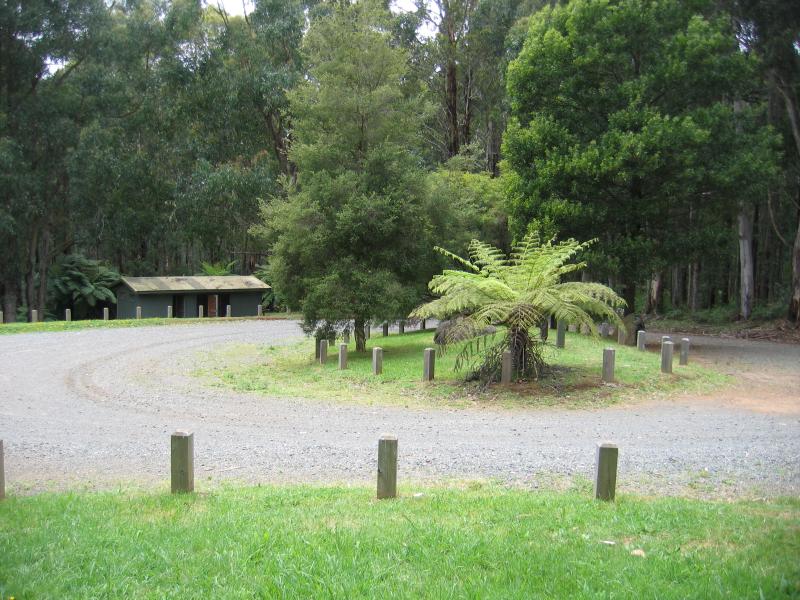
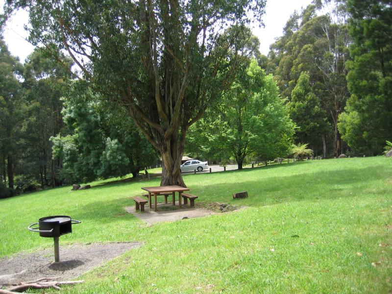
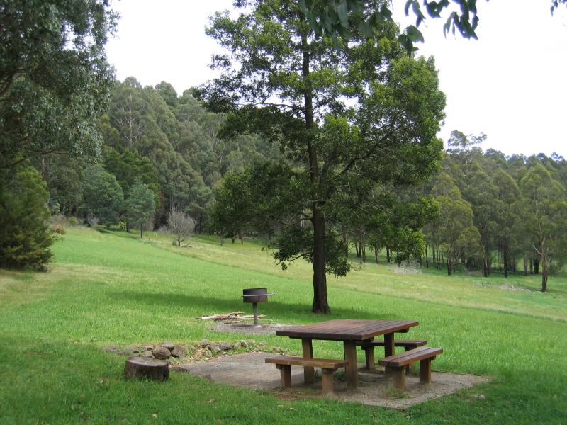
Olinda Falls, Falls Road - At car park
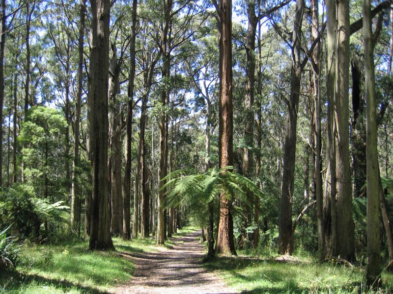
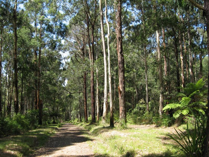
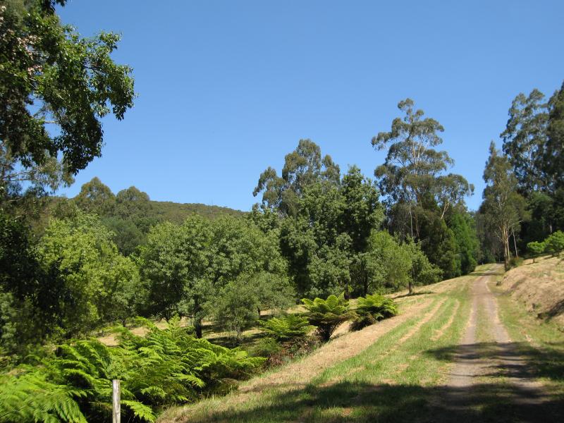
Olinda Falls, Falls Road - Path to falls
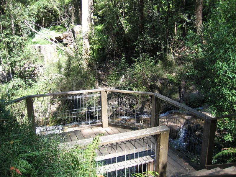
Olinda Falls, Falls Road - Viewing platform at falls
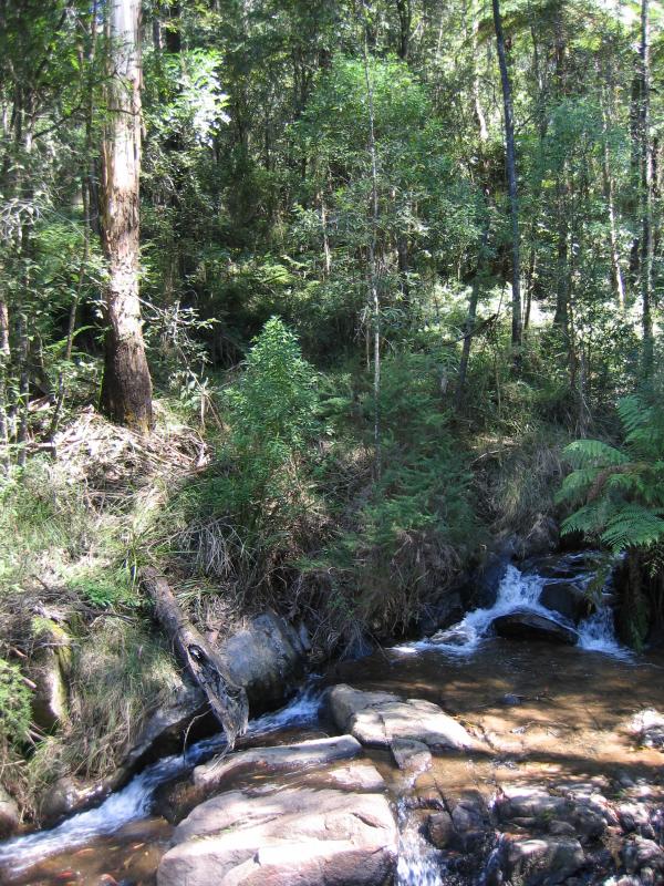
Olinda Falls, Falls Road - Olinda Falls
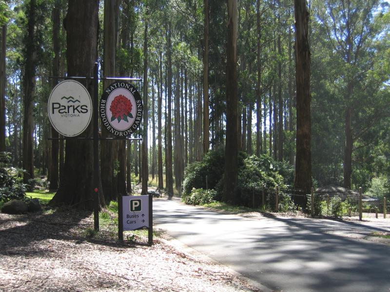
Dandenong Ranges Botanic Garden - Car park entrance to the gardens, The Georgian
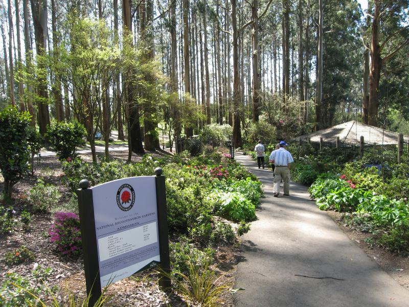
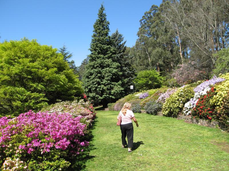
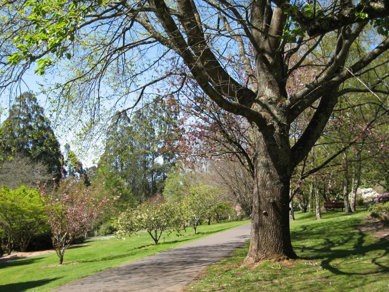
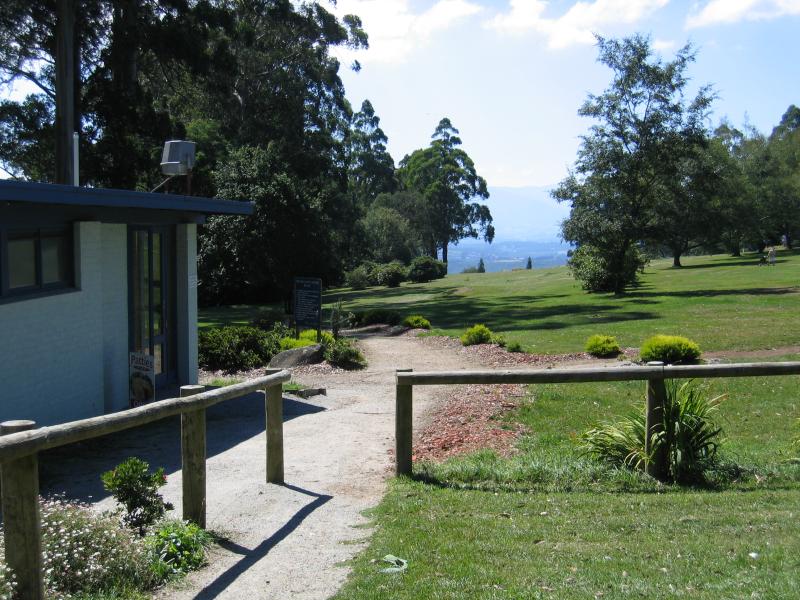
Dandenong Ranges Botanic Garden - Walking path to gardens entrance
Dandenong Ranges Botanic Garden - Gift shop at entrance
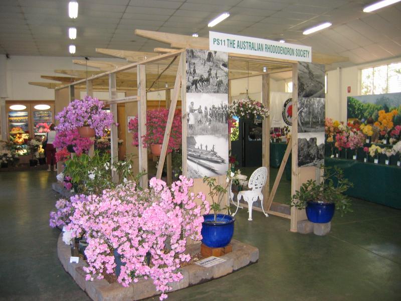
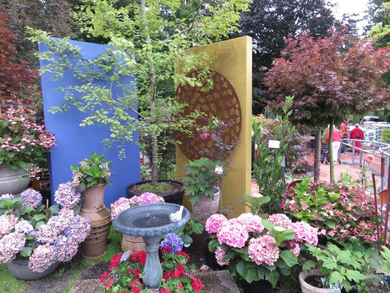
Dandenong Ranges Botanic Garden - Flower show in display hall
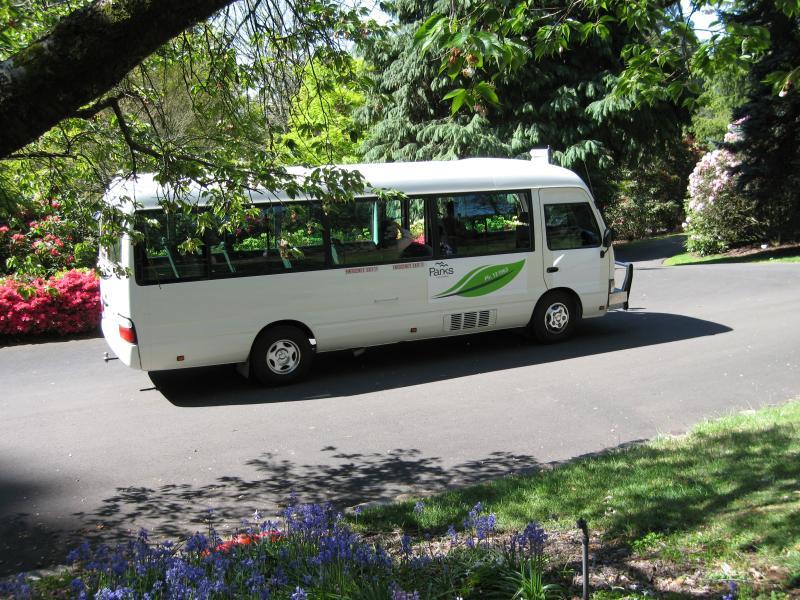
Dandenong Ranges Botanic Garden - Garden explorer courtesy bus
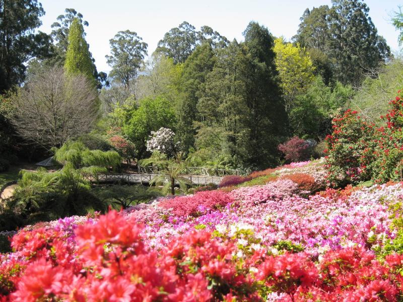
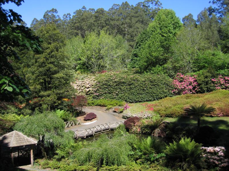
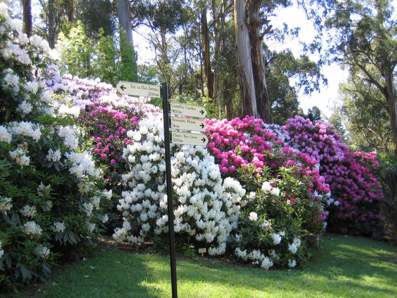
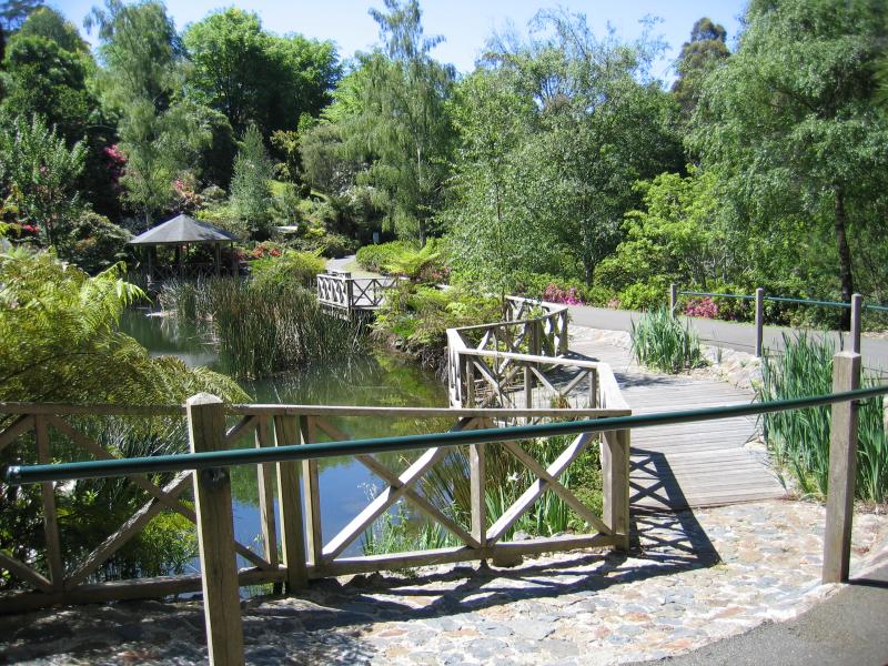
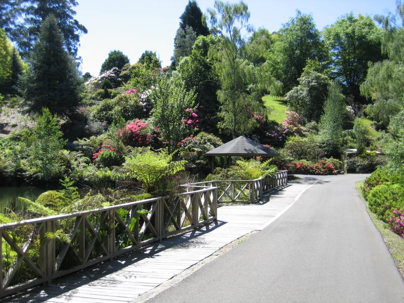
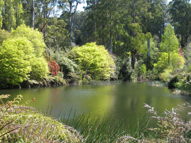
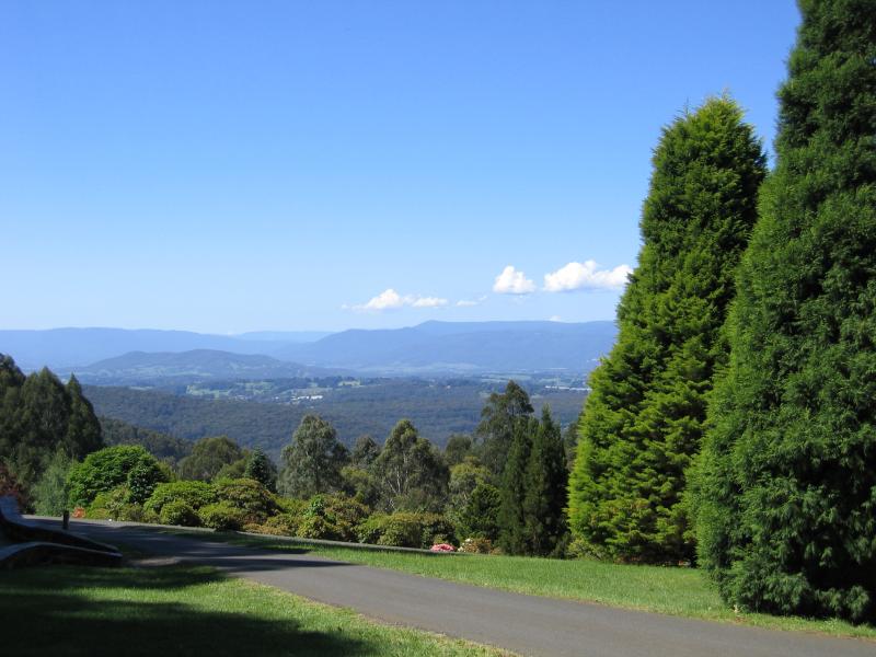
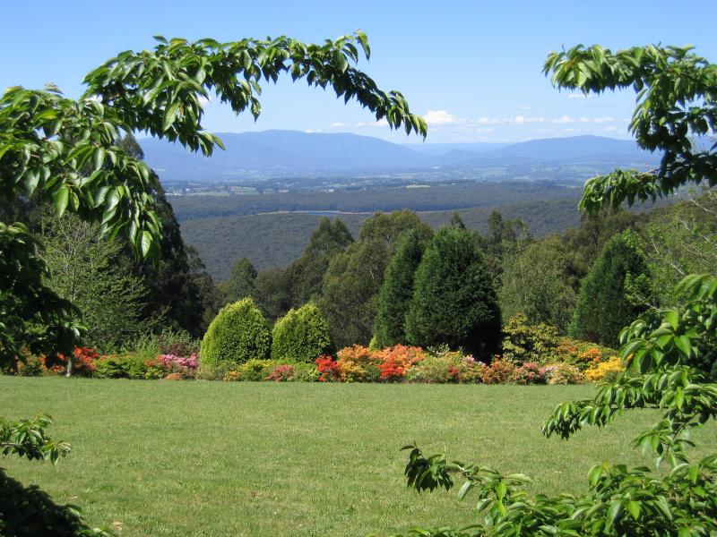
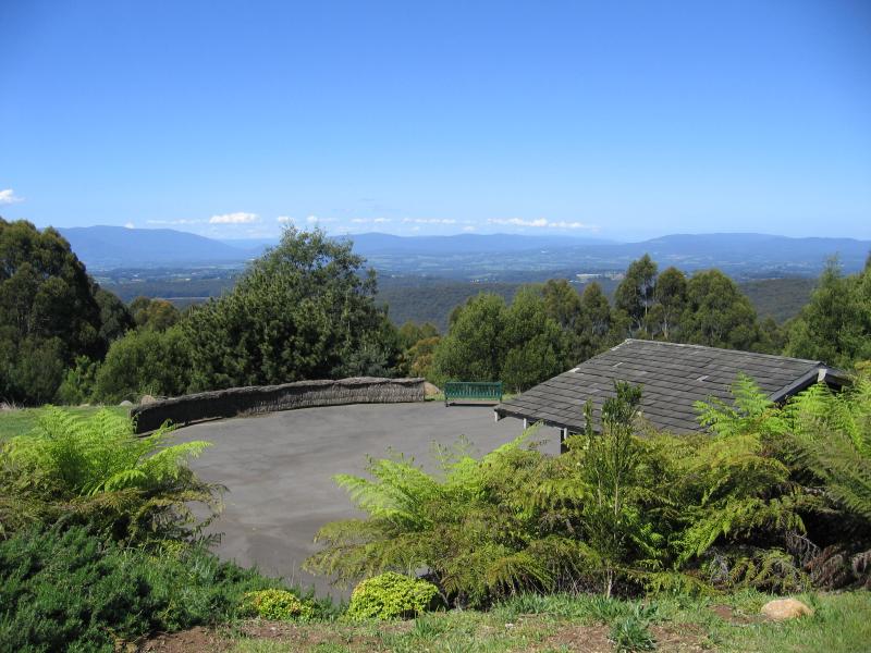
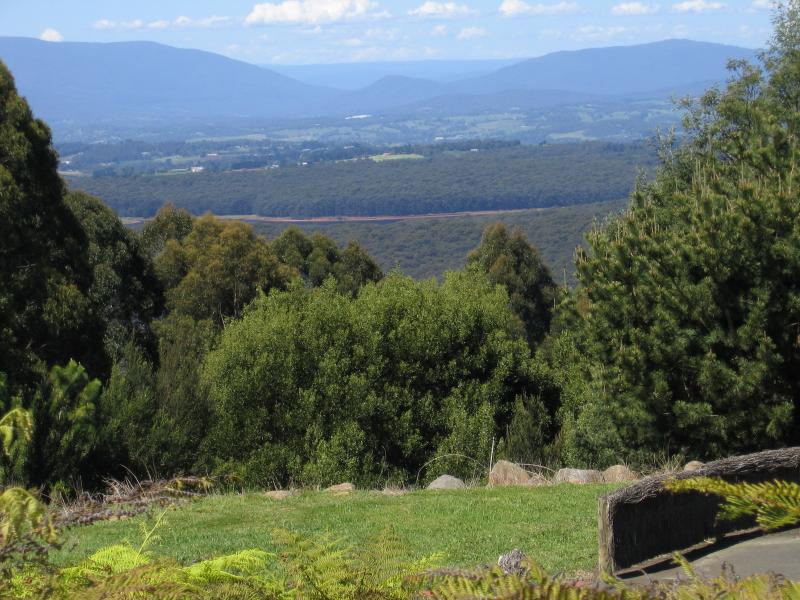
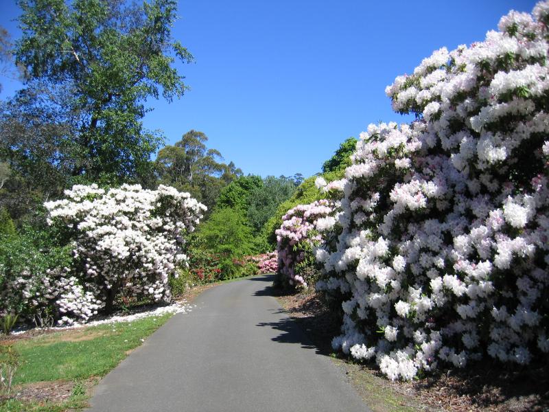
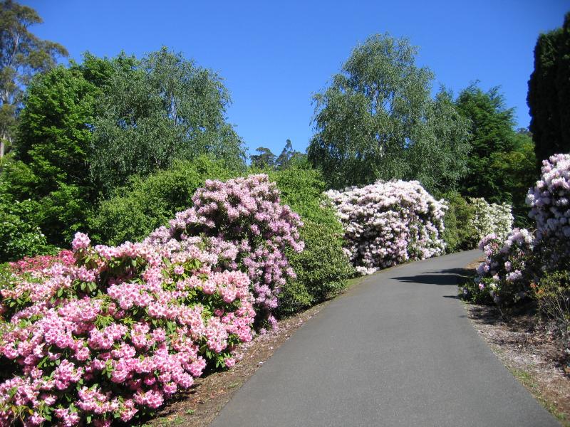
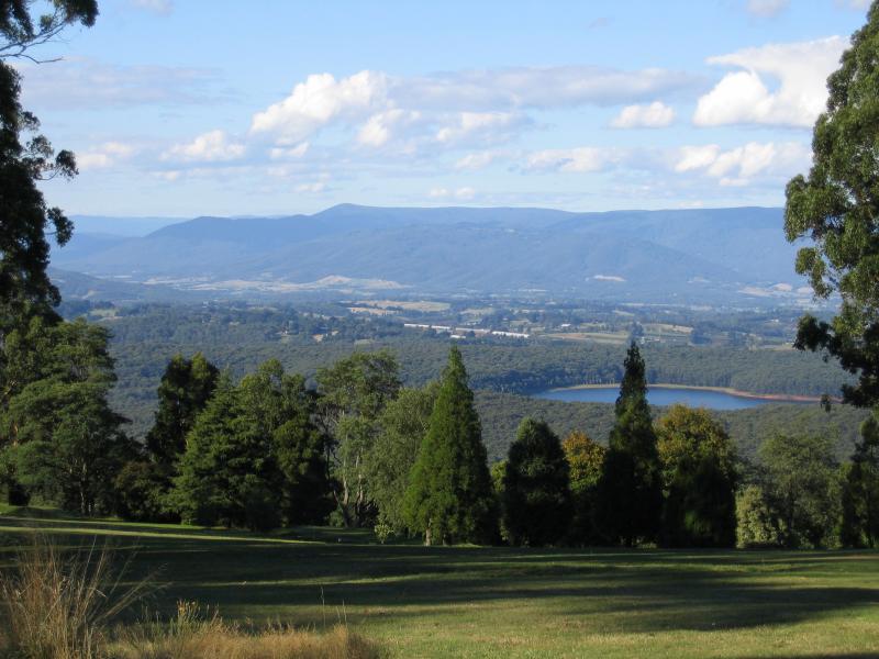
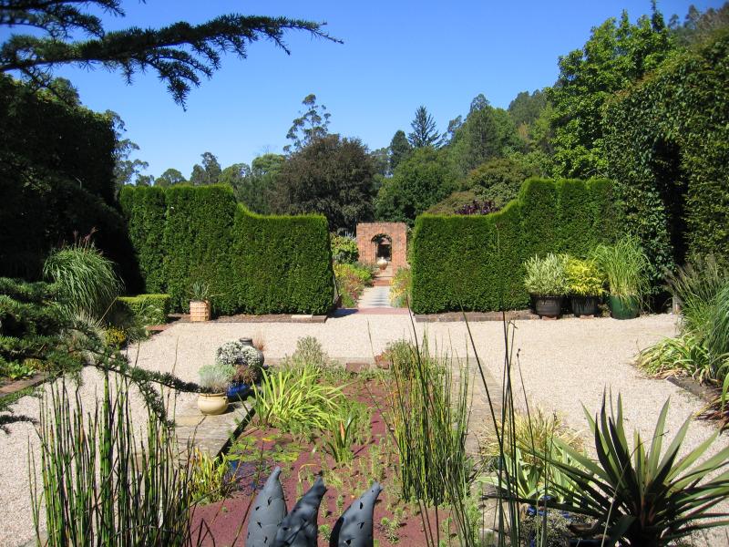
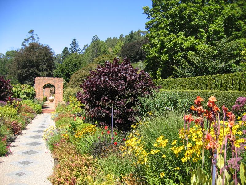
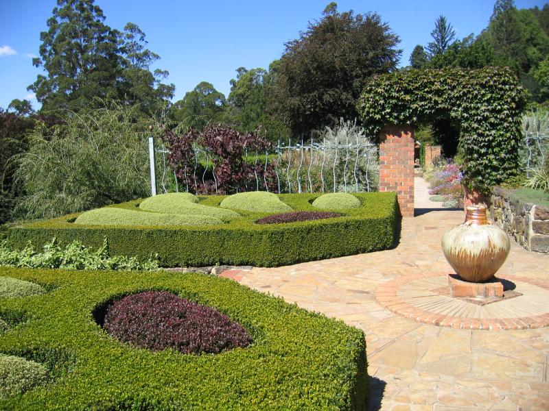
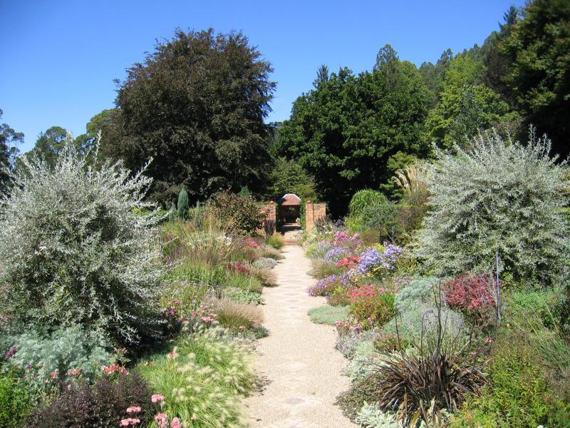
Dandenong Ranges Botanic Garden - View down to pond
Dandenong Ranges Botanic Garden - View down to pond