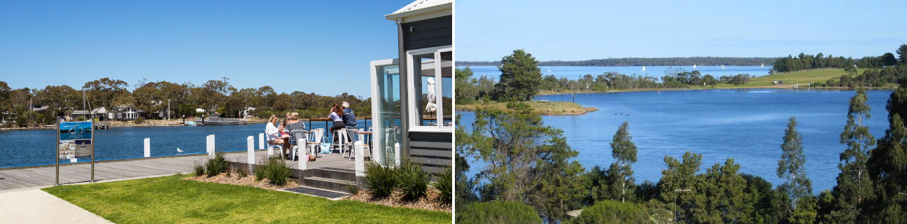
Paynesville - photos
Paynesville
Stay
See and do
Food and drink
Shopping
Getting around
Visitor information
 Commercial centre and shops - View east along Esplanade at Langford Pde
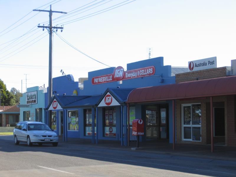 Commercial centre and shops - Supermarket and post office, view west along Esplanade towards Langford Pde
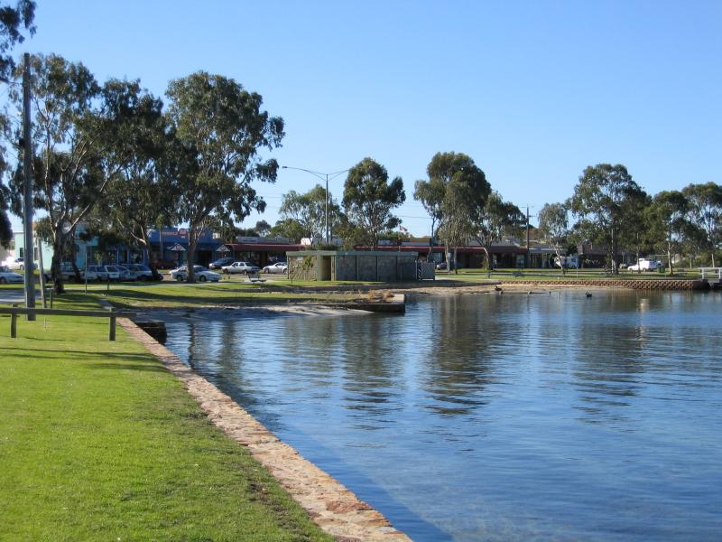
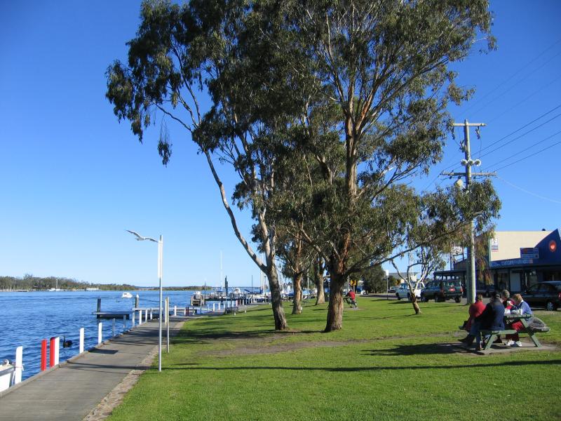
 Commercial centre and shops - View east along Esplanade and foreshore car park between Langford Pde and Wellington St
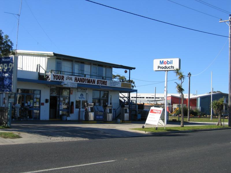 Commercial centre and shops - Service station and hardware, view east along Esplanade at Raymond St
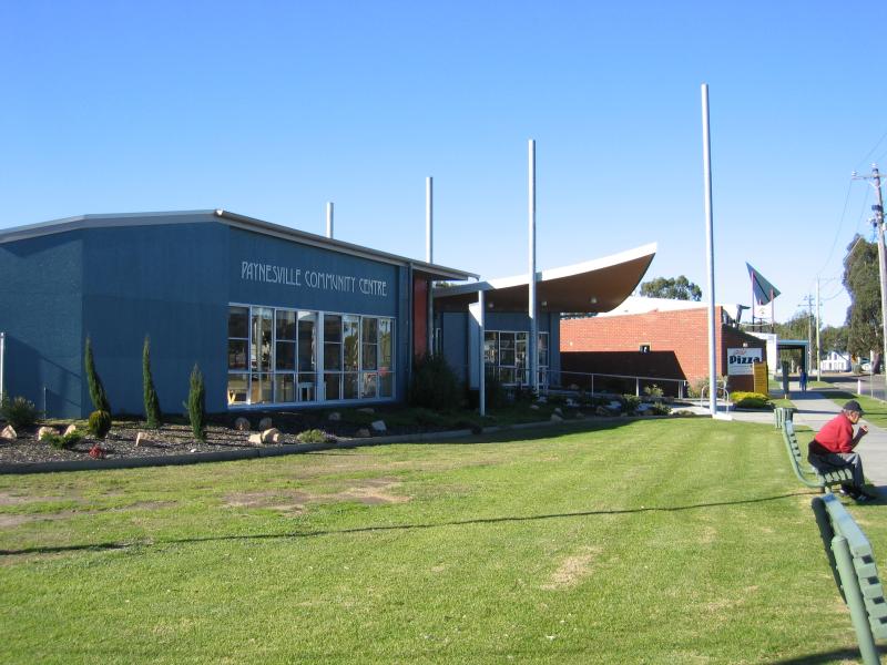 Commercial centre and shops - Community Centre, Esplanade at Raymond St
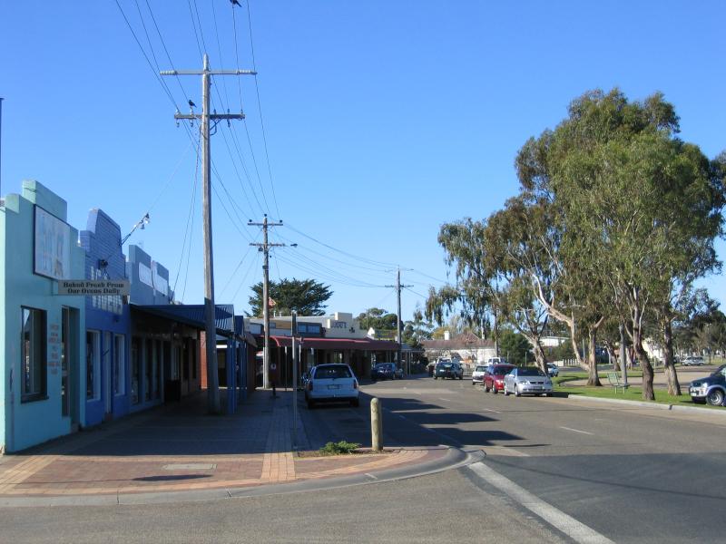
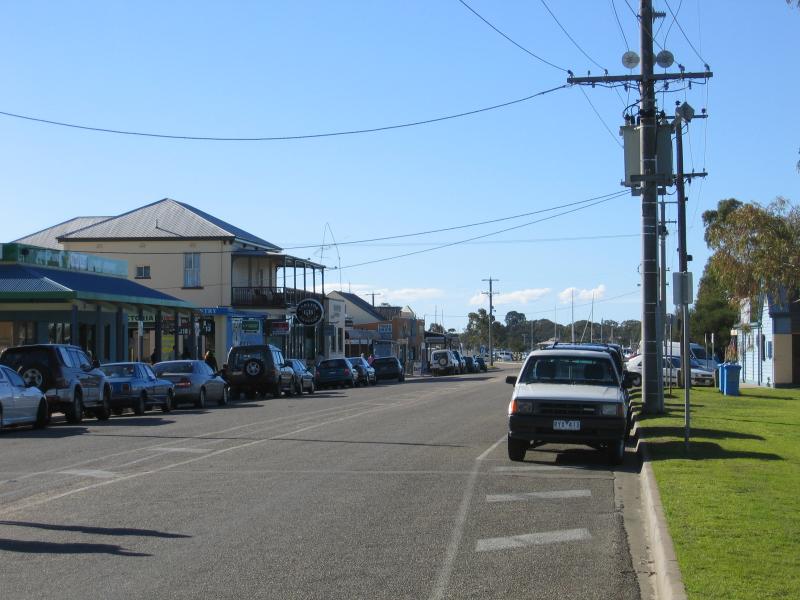
 Commercial centre and shops - View east along Esplanade towards the bend
 Commercial centre and shops - View north along Esplanade at the bend
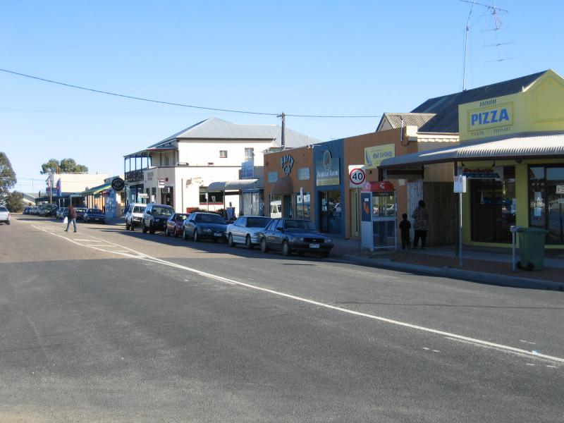
 Commercial centre and shops - View north along Esplanade towards Devon Rd
 Commercial centre and shops - The Old Pub, corner of Esplanade and Devon Rd
 Commercial centre and shops - View south along Esplanade towards Devon Rd
 Southern coast and foreshore - View south to Dawsons Cove from Newlands Dr
 Southern coast and foreshore - View west along coast from eastern end of Sunset Dr
 Southern coast and foreshore - View south to Raymond Island from eastern end of Sunset Dr
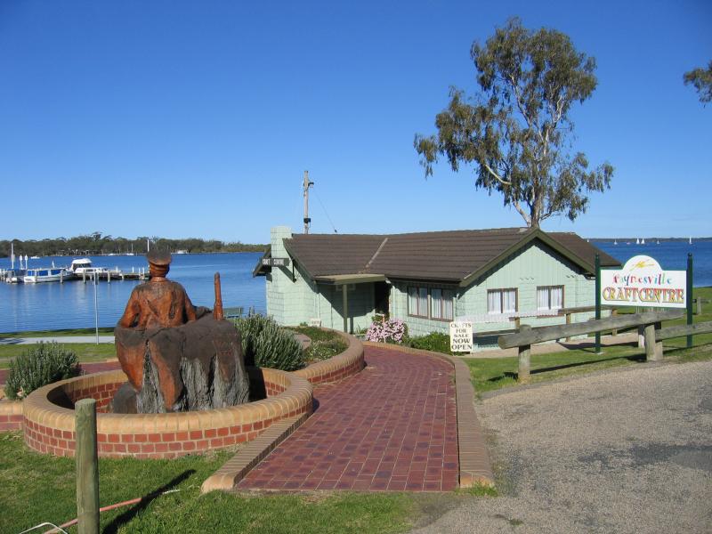 Southern coast and foreshore - Paynesville Craft Centre, Sunset Dr
 Southern coast and foreshore - View east along Sunset Dr and foreshore towards Paynesville Craft Centre
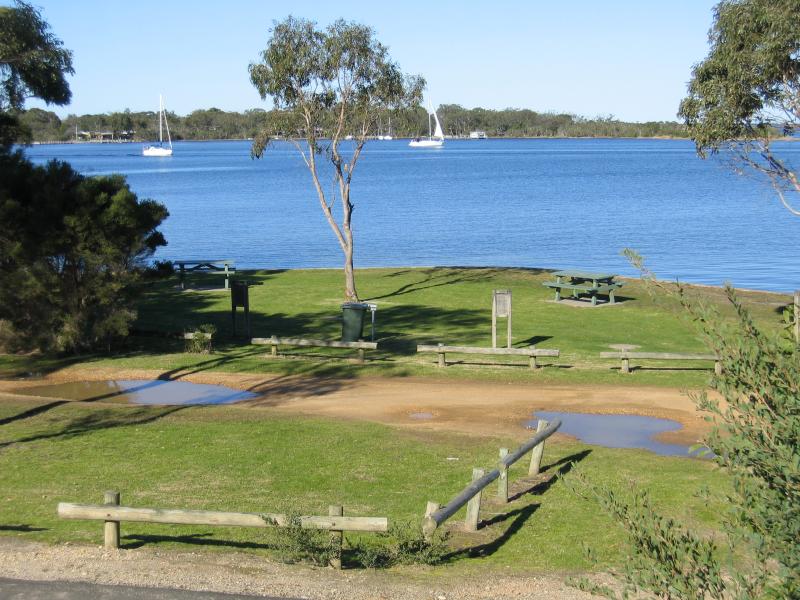
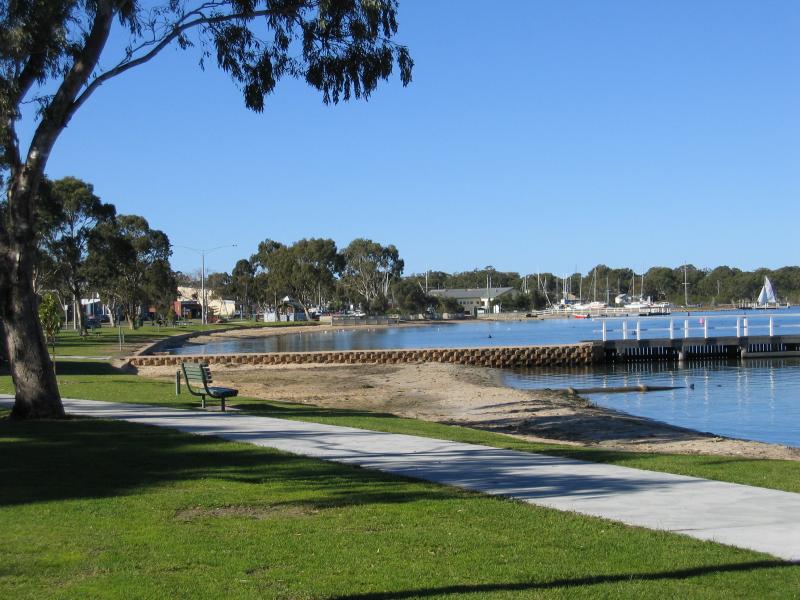
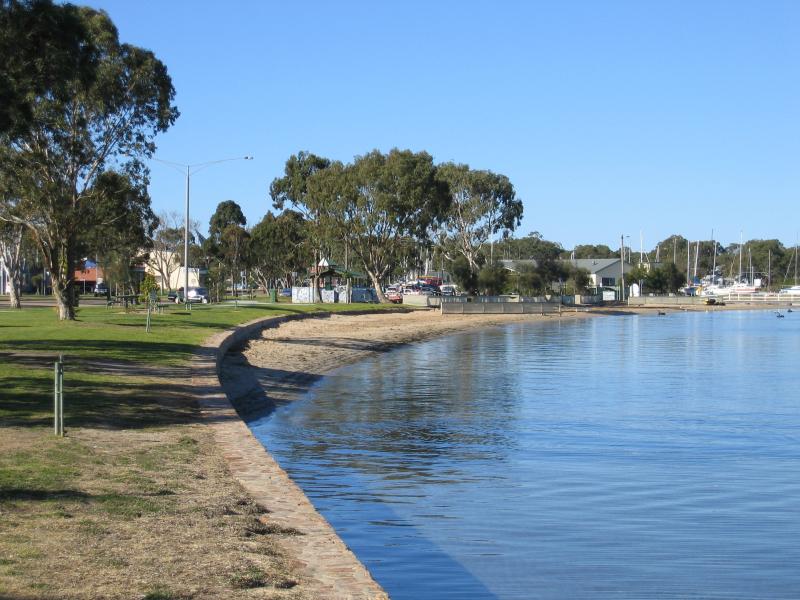
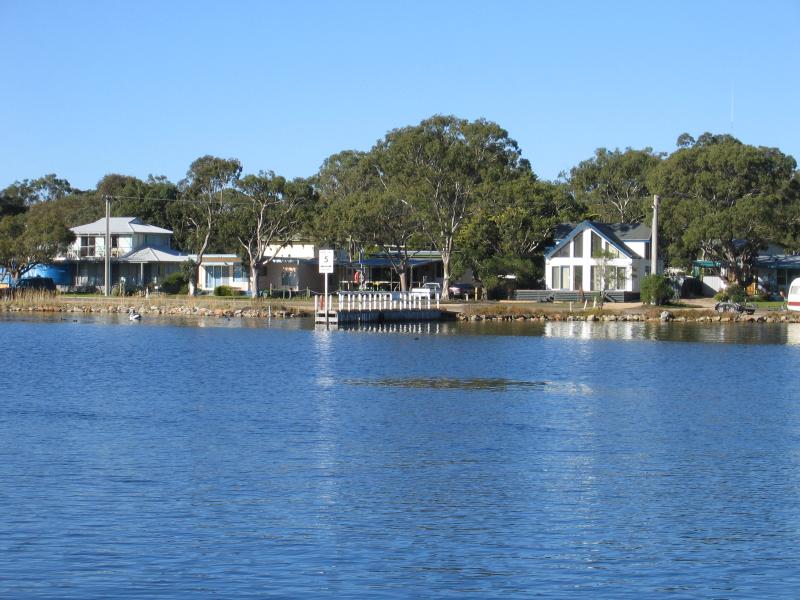
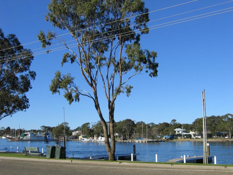
 Southern coast and foreshore - View east along foreshore towards Esplanade
 Southern coast and foreshore - View east along foreshore towards jetty
 Southern coast and foreshore - View west along beach and foreshore from jetty
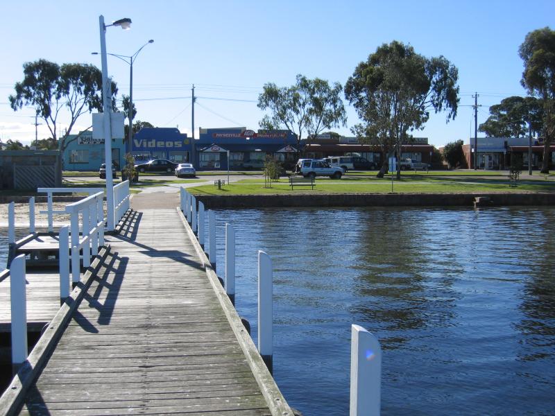
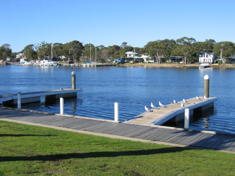
 Southern coast and foreshore - View of jetty and foreshore
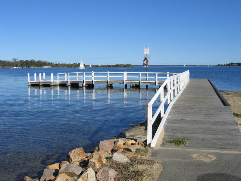
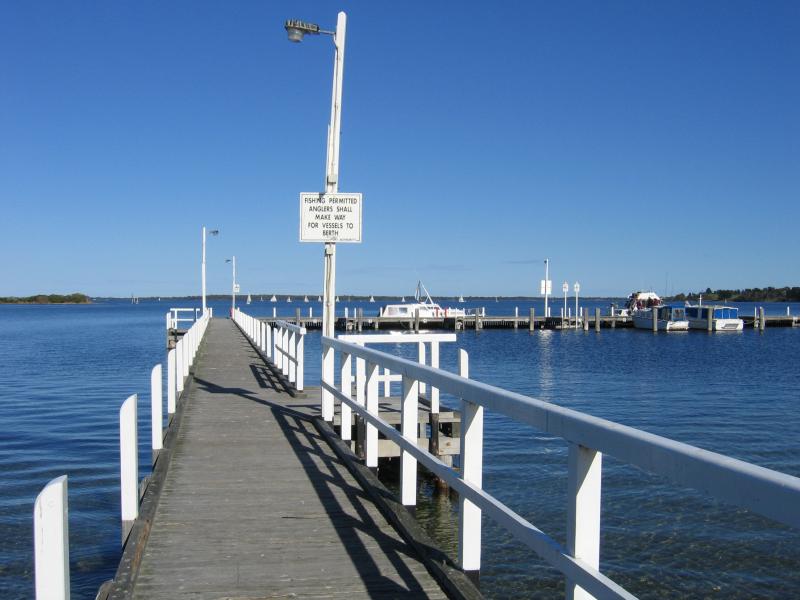 Southern coast and foreshore - View along jetty
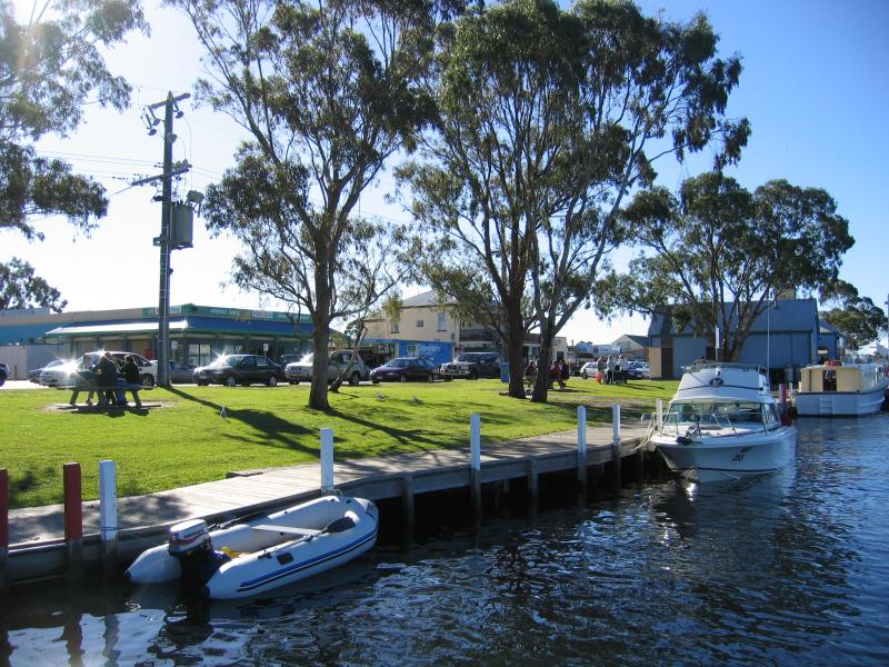
 Southern coast and foreshore - View from jetty back to the foreshore and shops along Esplanade
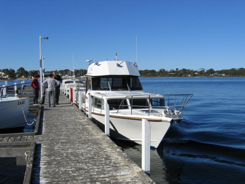 Southern coast and foreshore - Boats moored at the jetty
 Southern coast and foreshore - View east along coast from jetty
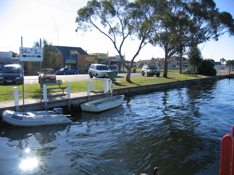
 Southern coast and foreshore - View east along coast from foreshore car park near jetty
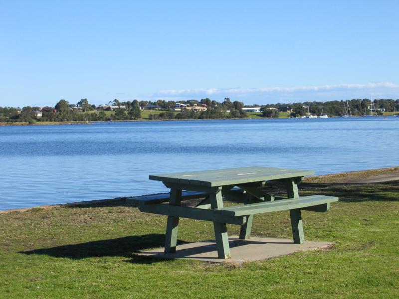
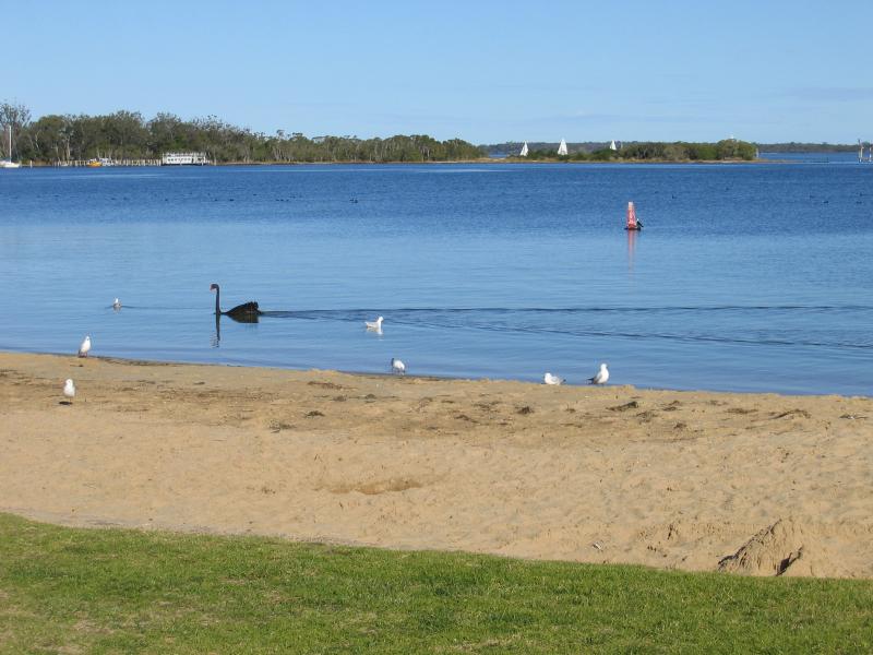
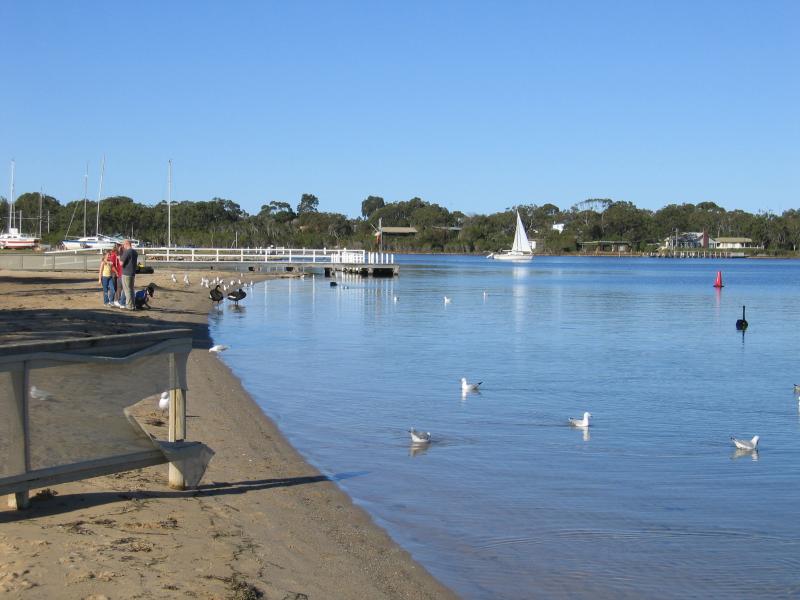 Southern coast and foreshore - Sandy beach, foreshore east of jetty
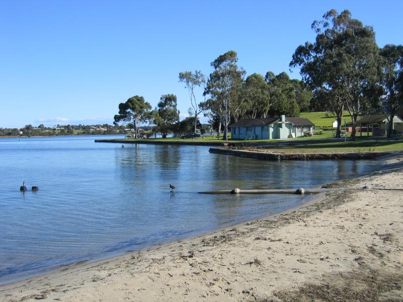
 Southern coast and foreshore - View to Raymond Island from foreshore beach
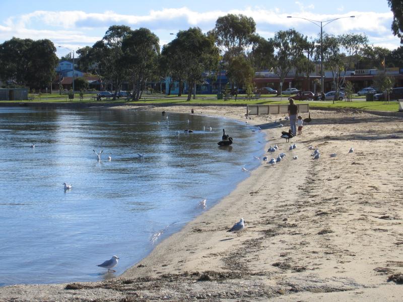 Southern coast and foreshore - View west along beach, foreshore, and Esplanade from boat ramp opposite Raymond St
 Southern coast and foreshore - View east along coast towards Marina from boat ramp opposite Raymond St
 Southern coast and foreshore - Pier at boat ramp opposite Raymond St
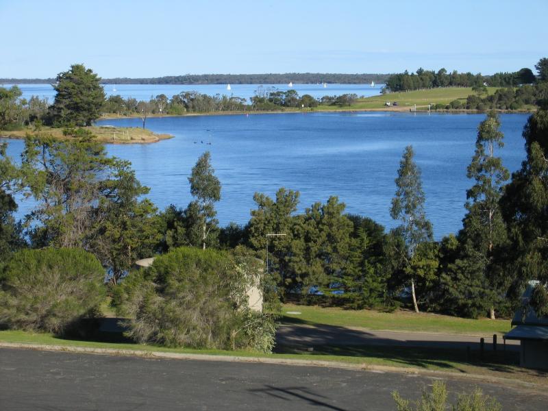
 McMillans Strait foreshore - View to Raymond Island
 McMillans Strait foreshore - View across to Raymond Island from foreshore
 McMillans Strait foreshore - View south along coast towards marina at the point
 McMillans Strait foreshore - View south along foreshore with Raymond Island in distance
 McMillans Strait foreshore - View south along foreshore and Esplanade towards the point
 McMillans Strait foreshore - View east across foreshore towards Raymond Island from Esplanade
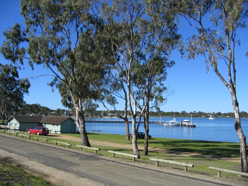
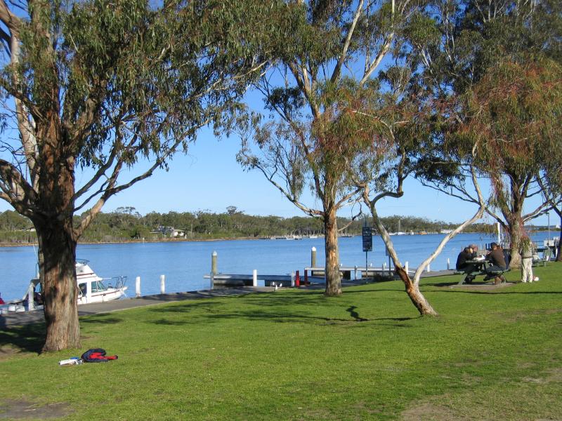
 McMillans Strait foreshore - View north along foreshore towards Fishermans Wharf
 McMillans Strait foreshore - View north along foreshore and Esplanade towards Fishermans Wharf
 McMillans Strait foreshore - Fishermans Wharf Pavilion, from Esplanade
 McMillans Strait foreshore - Fishermans Wharf Pavilion
 McMillans Strait foreshore - View south along foreshore towards Fishermans Wharf
 McMillans Strait foreshore - View north along foreshore and Esplanade from jetties at Fishermans Wharf
 McMillans Strait foreshore - View north along foreshore to Raymond Island Ferry
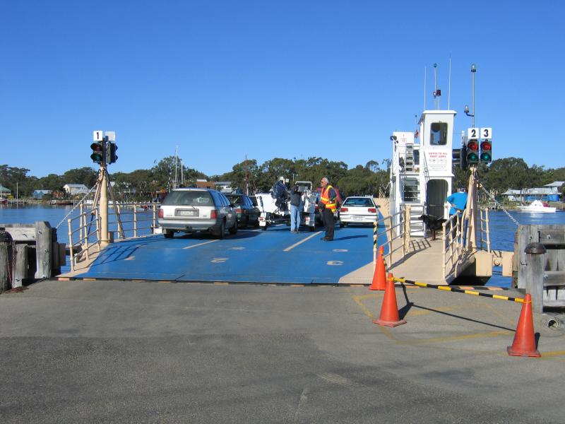 McMillans Strait foreshore - Cars boarding Raymond Island Ferry
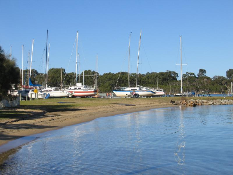
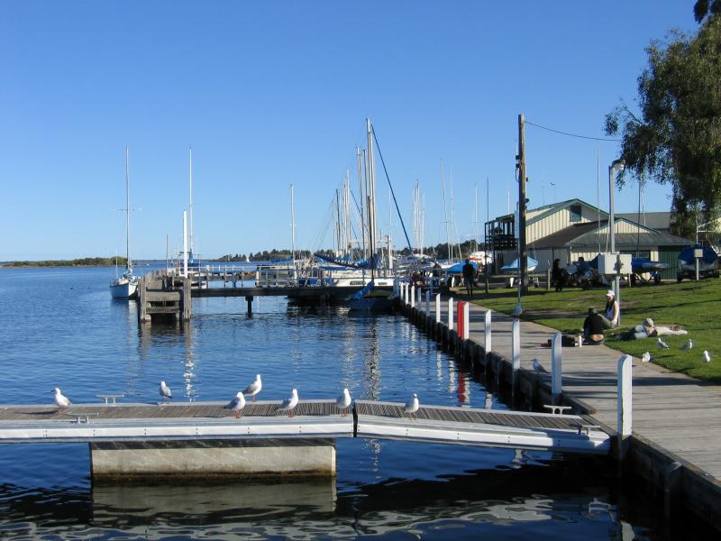
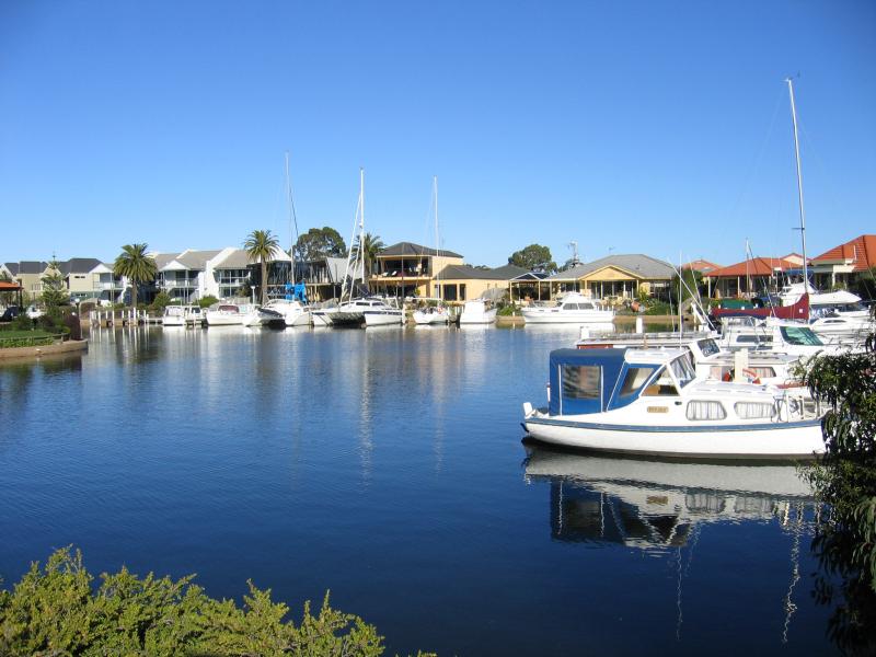
 McMillans Strait foreshore - Boats moored at the marina, just north of the Raymond Island Ferry
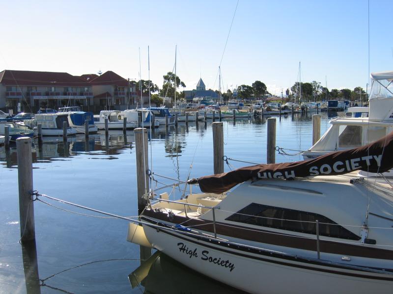 McMillans Strait foreshore - Boats moored at the marina, just north of the Raymond Island Ferry
 Burrabogie Island area - View north along Toonalook Waters from bridge at King St
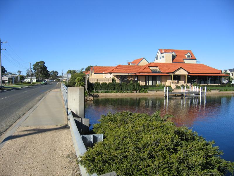
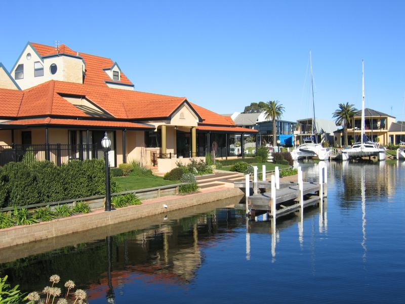 Burrabogie Island area - View south to Mariners Quay from bridge at King St
 Burrabogie Island area - View south to Mariners Quay from bridge at King St
 Burrabogie Island area - View east along King St at bridge
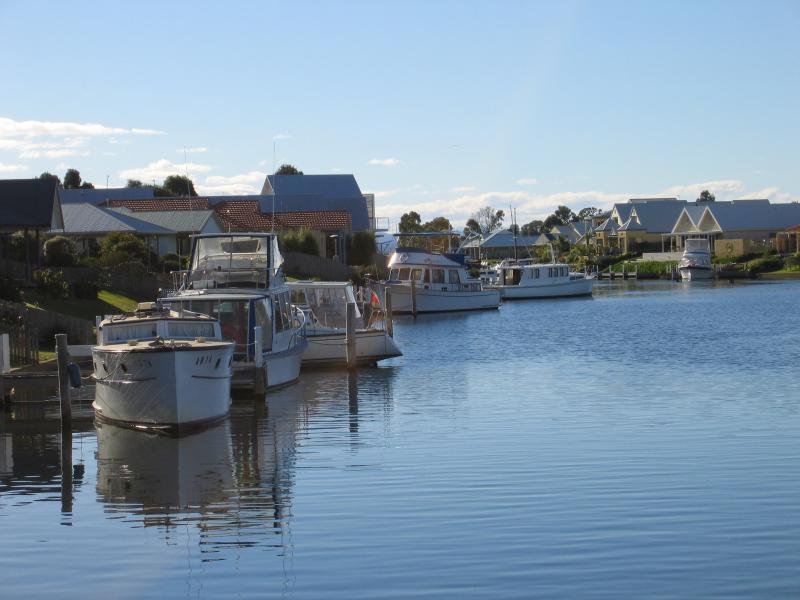
 Burrabogie Island area - View across Toonalook Waters to Burrabogie Island from eastern end of Canal Rd
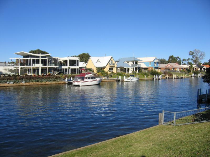 Burrabogie Island area - View south along Toonalook Waters and Burrabogie Island from eastern end of Canal Rd
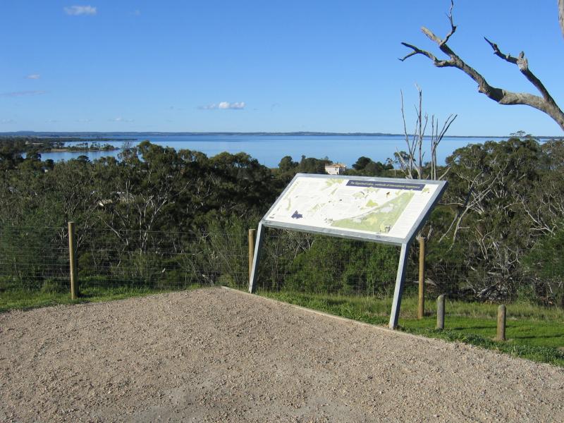 Bluff Lookout, Eagle Point - Lookout information board
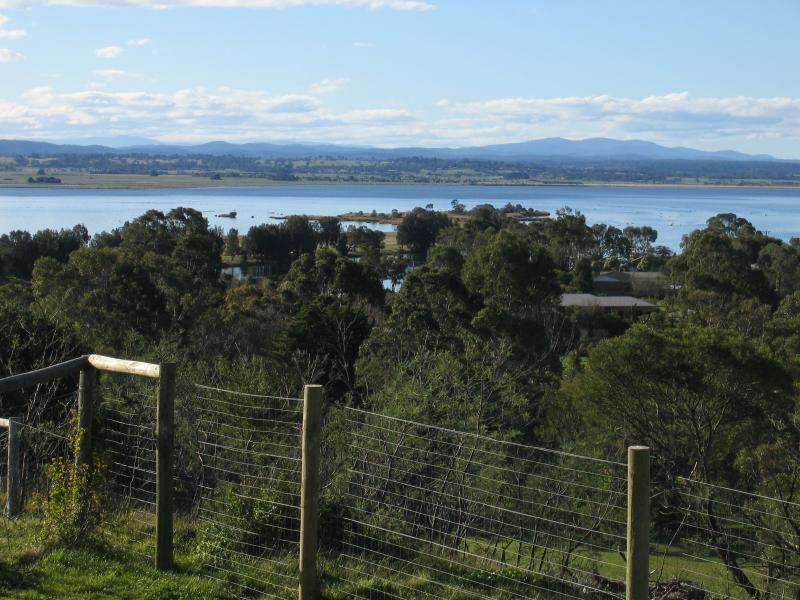 Bluff Lookout, Eagle Point - View north across Lake King near mouth of Mitchell River
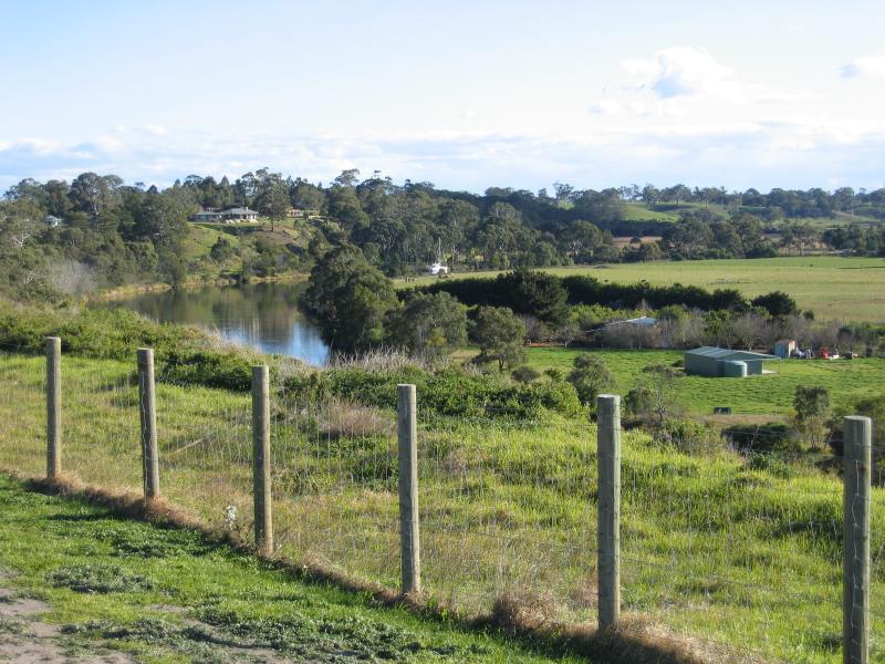 Bluff Lookout, Eagle Point - View inland along Mitchell River
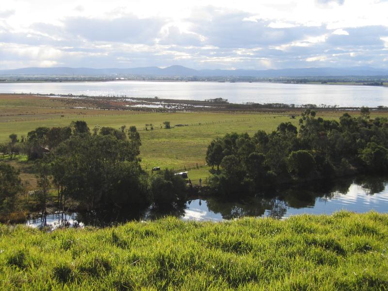 Bluff Lookout, Eagle Point - View north across Mitchell River into Lake King
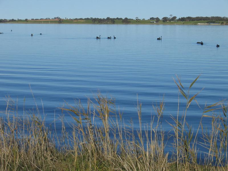
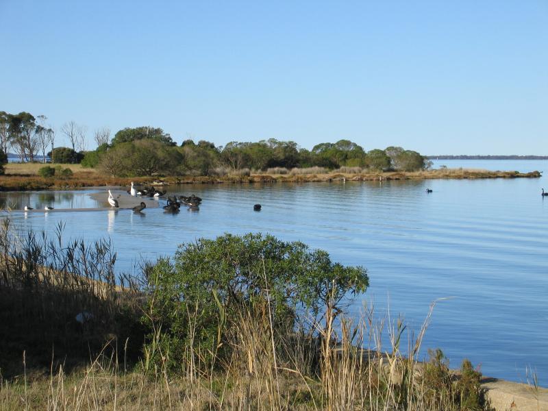 Silt Jetties, Rivermouth Road, accessed via Eagle Point - Bird life near boat ramp on Rivermouth Rd
 Silt Jetties, Rivermouth Road, accessed via Eagle Point - View across Lake King from near boat ramp on Rivermouth Rd towards Eagle Point
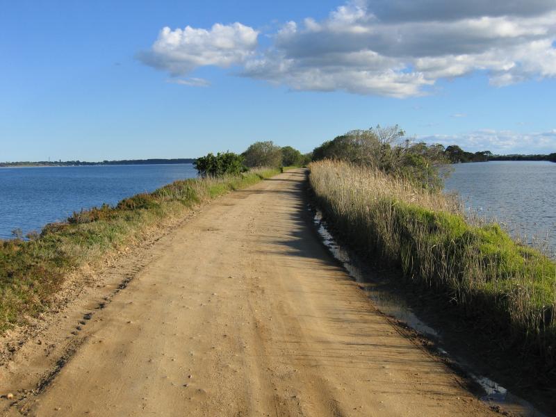 Silt Jetties, Rivermouth Road, accessed via Eagle Point - Rivermouth Rd along the Silt Jetties