Point Lonsdale - public transport
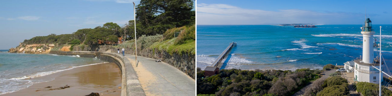
Point Lonsdale
Stay
See and do
Food and drink
Shopping
Getting around
Visitor information
Train
Geelong, Corio, Marshall, North Geelong, North Shore, South Geelong, Waurn Ponds stations
(29 km away)
| Line | Operator | Timetable and stops | Map |
|---|---|---|---|
| Geelong |  |
Geelong - Melbourne Via Waurn Ponds, Marshall, South Geelong, Geelong, North Geelong, North Shore, Corio, Lara, Little River, Wyndham Vale, Tarneit, Deer Park, Ardeer, Sunshine, Footscray, Southern Cross |
|
| Warrnambool | |
Warrnambool - Melbourne Via Warrnambool, Sherwood Park, Terang, Camperdown, Colac, Birregurra, Winchelsea, Waurn Ponds, Marshall, South Geelong, Geelong, North Geelong, North Shore, Corio, Lara, Little River, Wyndham Vale, Tarneit, Footscray, Southern Cross |
|
| The Overland |  |
Melbourne to Adelaide Via Southern Cross, North Shore, Ararat, Stawell, Horsham, Dimboola, Nhill, Bordertown (SA), Murray Bridge (SA), Adelaide (SA) |
Bus
See Bellarine Peninsula bus network map
| Route | Operator | Timetable | Map |
|---|---|---|---|
| No. 56: Geelong to Queenscliff Via Geelong station, East Geelong, Newcomb, Moolap, Leopold, Wallington, Ocean Grove, Point Lonsdale |
McHarry's |
Taxi
| Operator | Areas covered | Phone |
|---|---|---|
| Geelong Taxi Network | Aireys Inlet, Anglesea, Barwon Heads, Clifton Springs, Drysdale, Geelong, Geelong's suburbs, Indented Head, Jan Juc, Lorne, Ocean Grove, Point Lonsdale, Portarlington, Queenscliff, St Leonards, Torquay, Winchelsea | (03) 5277 7900 |