Port Campbell - maps & location
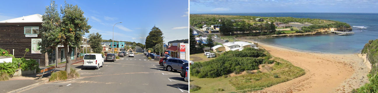
Port Campbell
Stay
See and do
Food and drink
Shopping
Getting around
Visitor information
Location
Location by road
239 km south-west of Melbourne
Geographic coordinates
38° 37' 09'' S
142° 59' 45'' E
Maps
Location in Victoria
