Port Campbell - public transport
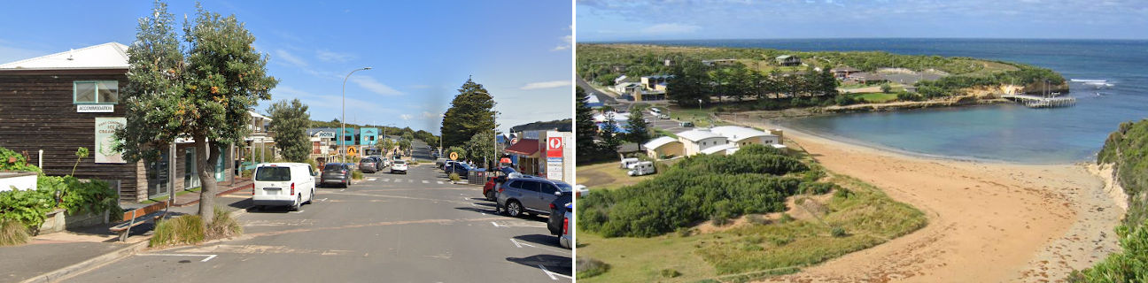
Port Campbell
Stay
See and do
Food and drink
Shopping
Getting around
Visitor information
Train
Camperdown station
(53 km away)
| Line | Operator | Timetable and stops | Map |
|---|---|---|---|
| Warrnambool |  |
Warrnambool - Melbourne Via Warrnambool, Sherwood Park, Terang, Camperdown, Colac, Birregurra, Winchelsea, Waurn Ponds, Marshall, South Geelong, Geelong, North Geelong, North Shore, Corio, Lara, Little River, Wyndham Vale, Tarneit, Footscray, Southern Cross |
Warrnambool, Sherwood Park stations
(65 km away)
| Line | Operator | Timetable and stops | Map |
|---|---|---|---|
| Warrnambool | |
Warrnambool - Melbourne Via Warrnambool, Sherwood Park, Terang, Camperdown, Colac, Birregurra, Winchelsea, Waurn Ponds, Marshall, South Geelong, Geelong, North Geelong, North Shore, Corio, Lara, Little River, Wyndham Vale, Tarneit, Footscray, Southern Cross |
Geelong, Corio, Marshall, North Geelong, North Shore, South Geelong, Waurn Ponds stations
(208 km away)
| Line | Operator | Timetable and stops | Map |
|---|---|---|---|
| Geelong | |
Geelong - Melbourne Via Waurn Ponds, Marshall, South Geelong, Geelong, North Geelong, North Shore, Corio, Lara, Little River, Wyndham Vale, Tarneit, Deer Park, Ardeer, Sunshine, Footscray, Southern Cross |
|
| Warrnambool | |
Warrnambool - Melbourne Via Warrnambool, Sherwood Park, Terang, Camperdown, Colac, Birregurra, Winchelsea, Waurn Ponds, Marshall, South Geelong, Geelong, North Geelong, North Shore, Corio, Lara, Little River, Wyndham Vale, Tarneit, Footscray, Southern Cross |
|
| The Overland |  |
Melbourne to Adelaide Via Southern Cross, North Shore, Ararat, Stawell, Horsham, Dimboola, Nhill, Bordertown (SA), Murray Bridge (SA), Adelaide (SA) |
Bus
| Route | Operator | Timetable | Map |
|---|---|---|---|
| Warrnambool to Timboon Via Warrnambool station, Allansford, Peterborough, Port Campbell |
Transit South West | ||
| Warrnambool to Apollo Bay Via Warrnambool station, Peterborough, Port Campbell, 12 Apostles, Princetown, Lavers Hill, Marengo |
|
Taxi
| Operator | Areas covered | Phone |
|---|---|---|
| Ride With Us | Camperdown, Cobden, Peterborough, Port Campbell, Princetown, Timboon | 0438 407 777 |