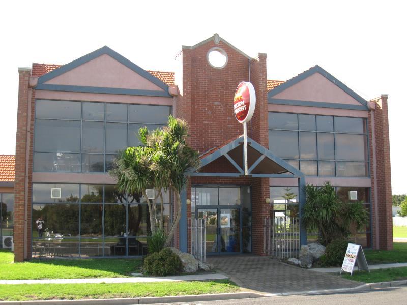
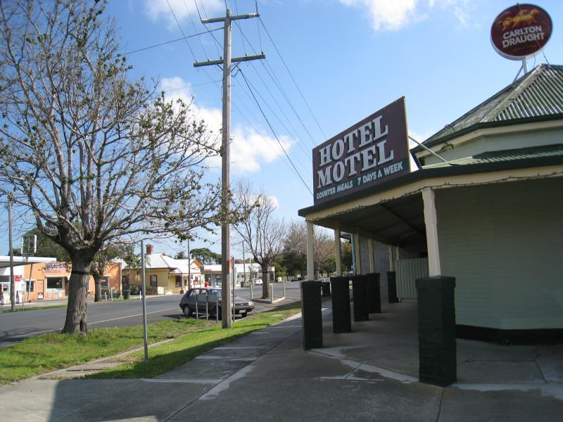
Commercial centre, Lewis Street between Turnbull Street and Robertson Street - View towards Pier Port Hotel from Lewis St at Turnbull St
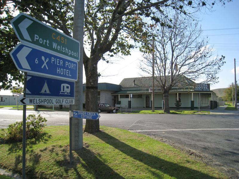
Commercial centre, Lewis Street between Turnbull Street and Robertson Street - Entrance to Pier Port Hotel, corner Lewis St and Turnbull St
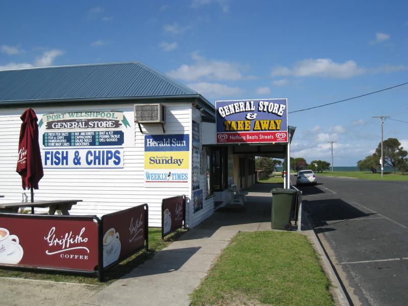
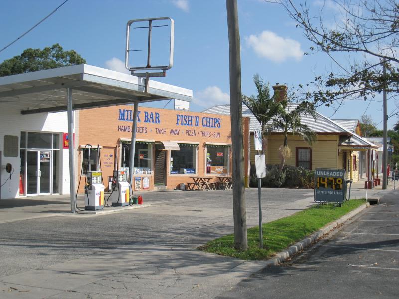
Commercial centre, Lewis Street between Turnbull Street and Robertson Street - View east along Lewis St at General Store
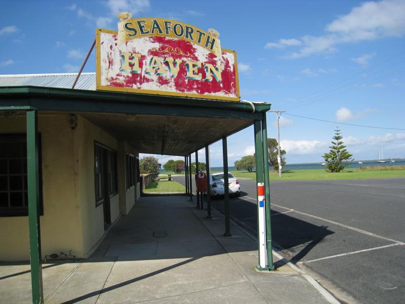
Commercial centre, Lewis Street between Turnbull Street and Robertson Street - Seaforth Haven, view east along Lewis St
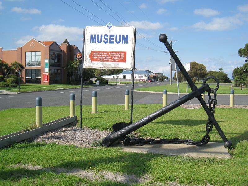
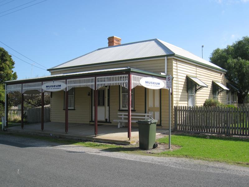
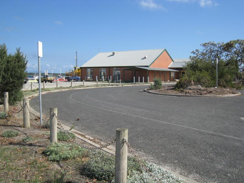
Maritime Museum, corner Turnbull Street and Townsend Street - Museum entrance, Turnbull St
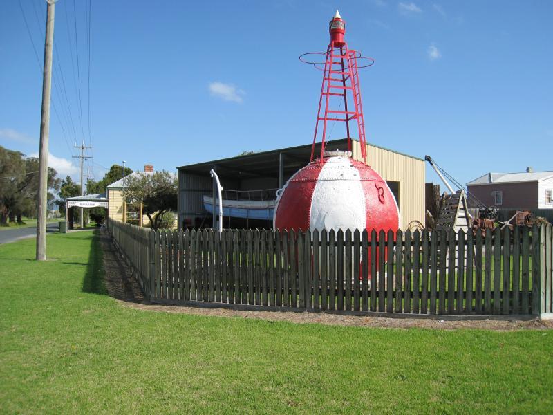
Maritime Museum, corner Turnbull Street and Townsend Street - Navigational buoy and Janet Iles fishing boat in shed behind
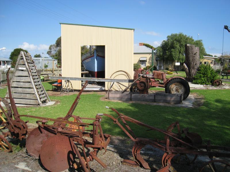
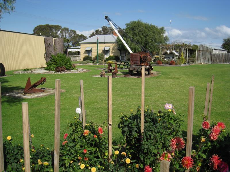
Maritime Museum, corner Turnbull Street and Townsend Street - Old farm machinery
Maritime Museum, corner Turnbull Street and Townsend Street - Gardens
Port Welshpool Wharf and surrounding foreshore, Lewis Street near eastern end - South-east view across foreshore at eastern end of Lewis St
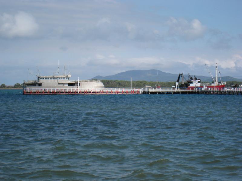
Port Welshpool Wharf and surrounding foreshore, Lewis Street near eastern end - View across foreshore towards wharf and jetty
Port Welshpool Wharf and surrounding foreshore, Lewis Street near eastern end - View of jetty at wharf from foreshore
Port Welshpool Wharf and surrounding foreshore, Lewis Street near eastern end - View east along foreshore
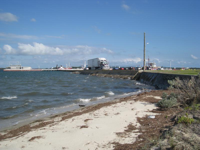
Port Welshpool Wharf and surrounding foreshore, Lewis Street near eastern end - View south from foreshore towards wharf and jetty
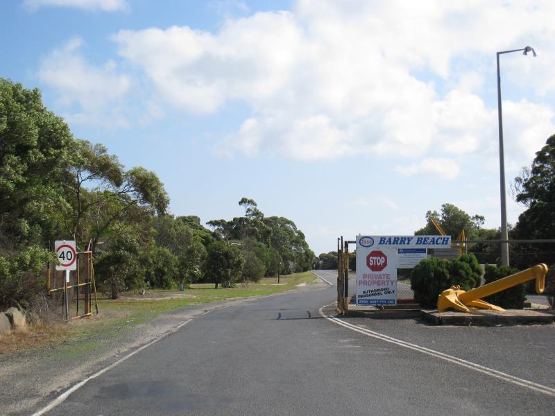
Port Welshpool Wharf and surrounding foreshore, Lewis Street near eastern end - View towards foreshore from access road to wharf
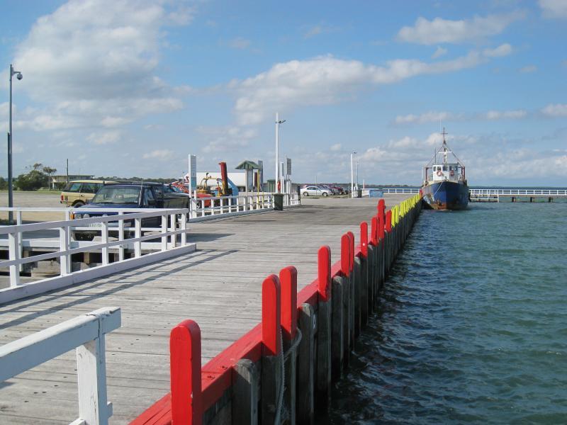
Port Welshpool Wharf and surrounding foreshore, Lewis Street near eastern end - Car park and wharf buildings
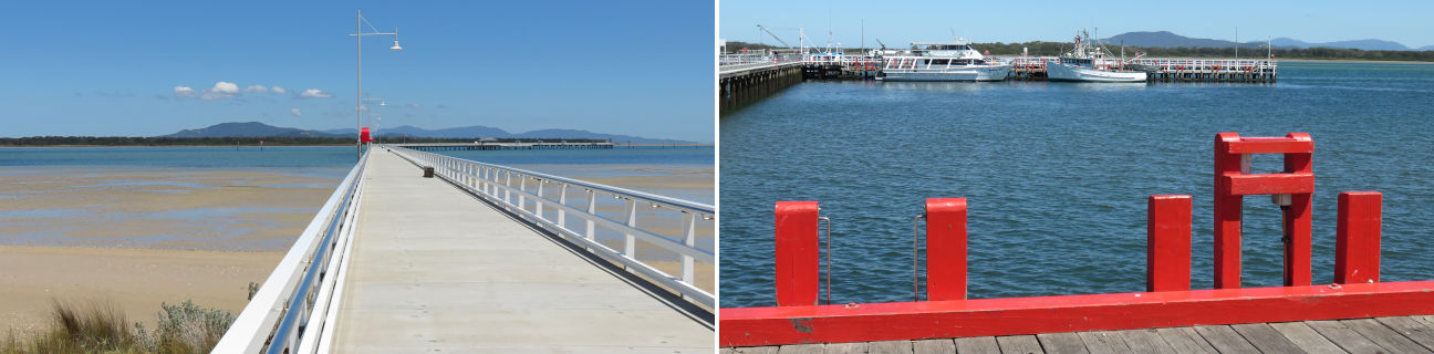
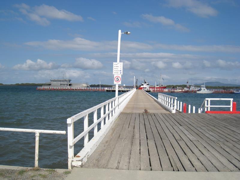
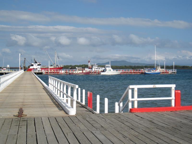
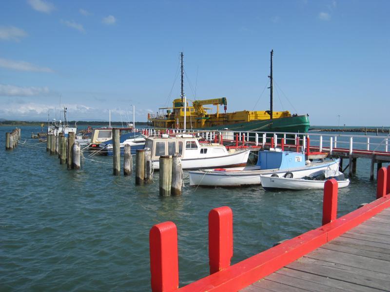
Port Welshpool Wharf and surrounding foreshore, Lewis Street near eastern end - View south along jetty at wharf
Port Welshpool Wharf and surrounding foreshore, Lewis Street near eastern end - View south along jetty at wharf
Port Welshpool Wharf and surrounding foreshore, Lewis Street near eastern end - Jetty at wharf
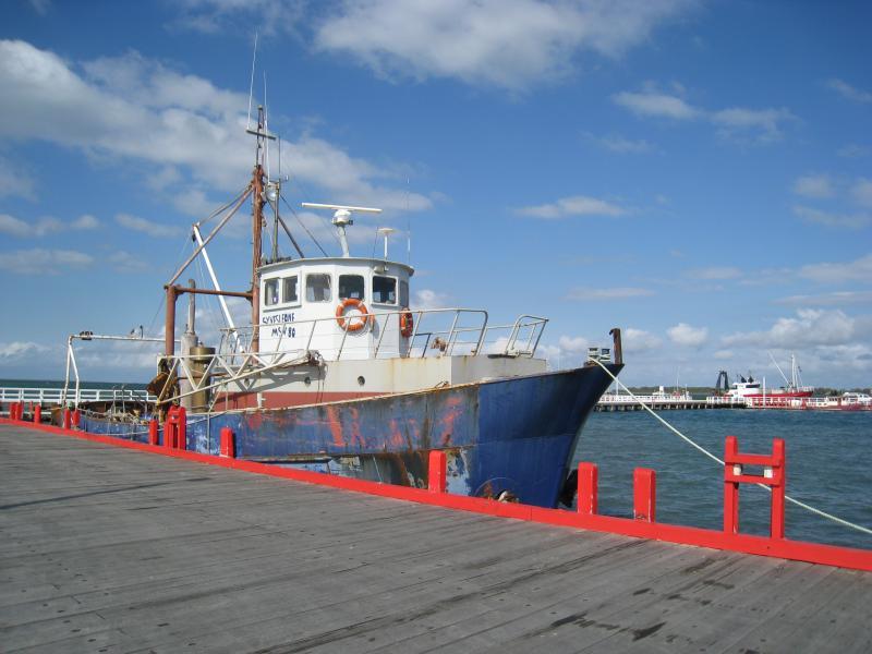
Port Welshpool Wharf and surrounding foreshore, Lewis Street near eastern end - Boat moored at wharf
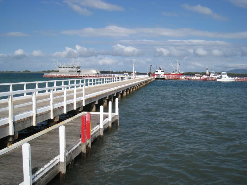
Port Welshpool Wharf and surrounding foreshore, Lewis Street near eastern end - View east along wharf
Port Welshpool Wharf and surrounding foreshore, Lewis Street near eastern end - Boats moored at smaller jetty on west side of wharf
Port Welshpool Wharf and surrounding foreshore, Lewis Street near eastern end - Boats moored at smaller jetty on west side of wharf
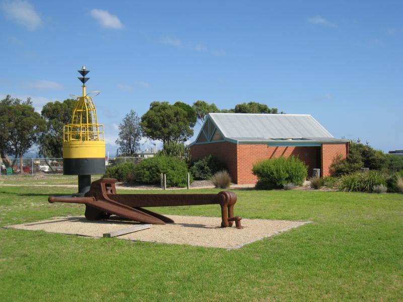
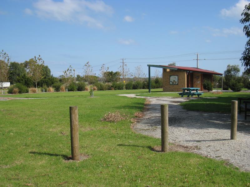
Foreshore and beach along southern side of Lewis Street - Toilets, anchor and navigational buoy near Turnbull St
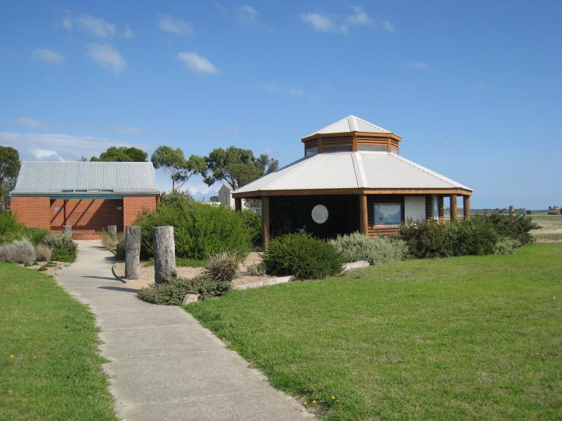
Foreshore and beach along southern side of Lewis Street - Information shelter near Turnbull St
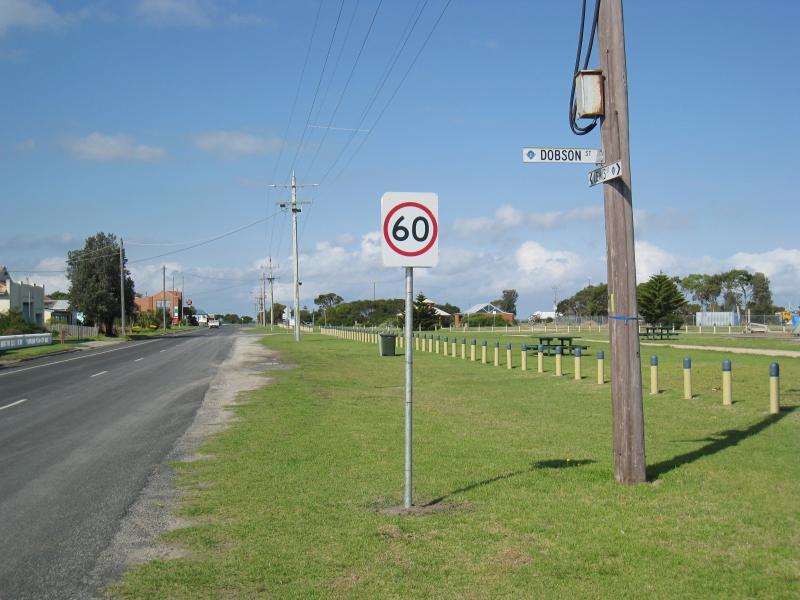
Foreshore and beach along southern side of Lewis Street - View east along Lewis St at Dobson St
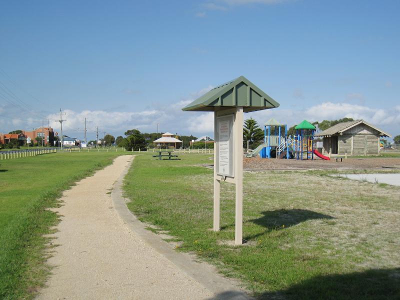
Foreshore and beach along southern side of Lewis Street - View across Lewis St at Dobson St towards playground
Foreshore and beach along southern side of Lewis Street - Playground, view east along foreshore near Dobson St
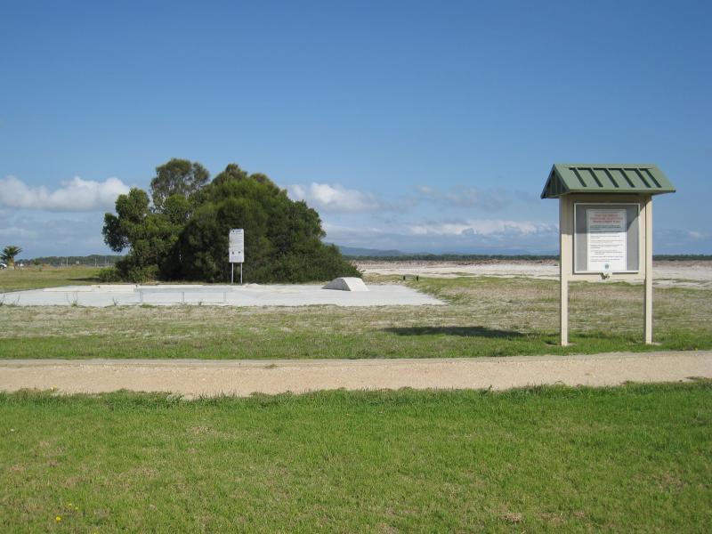
Foreshore and beach along southern side of Lewis Street - Skate park on foreshore near Dobson St
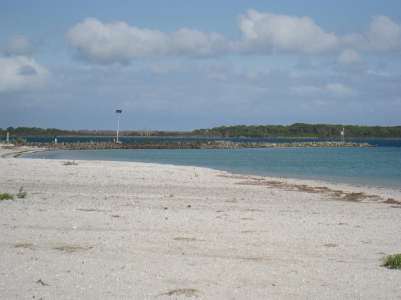
Foreshore and beach along southern side of Lewis Street - View south-east along beach near Dobson St towards sea wall
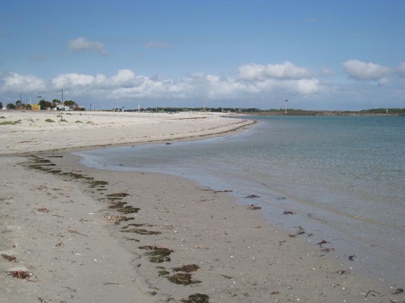
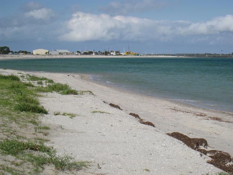
Foreshore and beach along southern side of Lewis Street - View east along beach near Dobson St
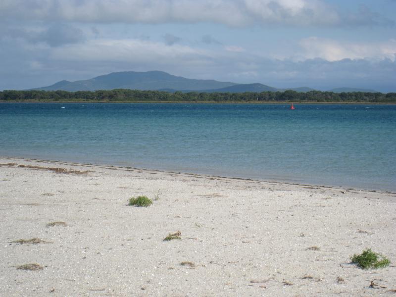
Foreshore and beach along southern side of Lewis Street - View south from beach near Dobson St towards Little Snake Island and mountains of Wilsons Promontory
Foreshore and beach along southern side of Lewis Street - View east along foreshore near Stratton St
Foreshore and beach along southern side of Lewis Street - View towards beach from near Stratton St
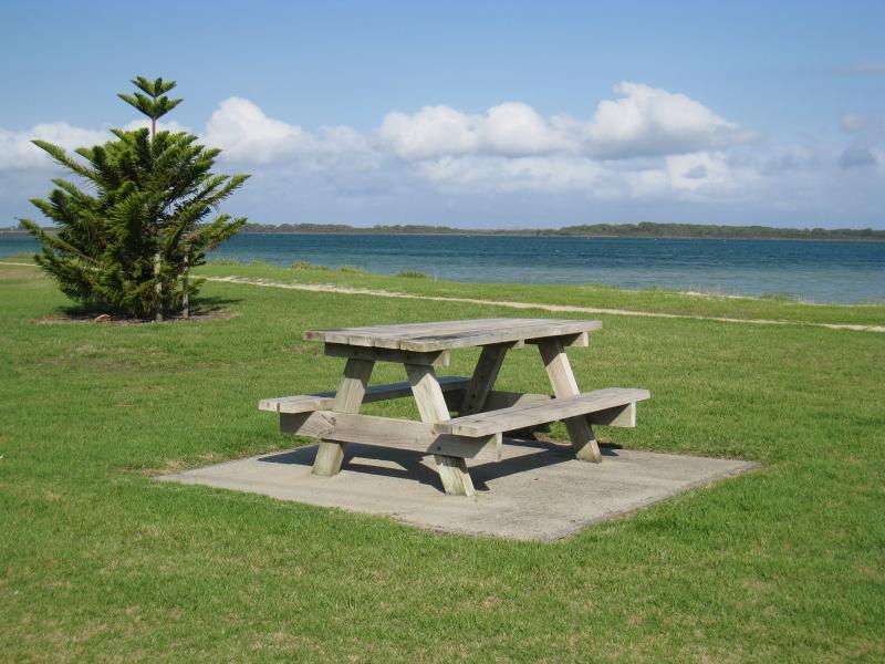
Foreshore and beach along southern side of Lewis Street - Picnic table on foreshore near Albert St
Foreshore and beach along southern side of Lewis Street - Pathway along foreshore near Albert St
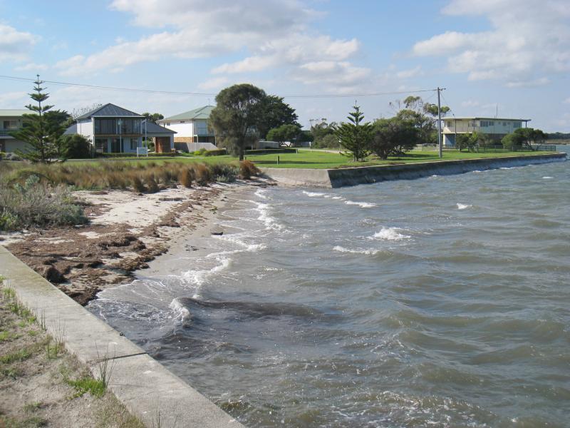
Foreshore and beach along southern side of Lewis Street - View east along beach near Albert St
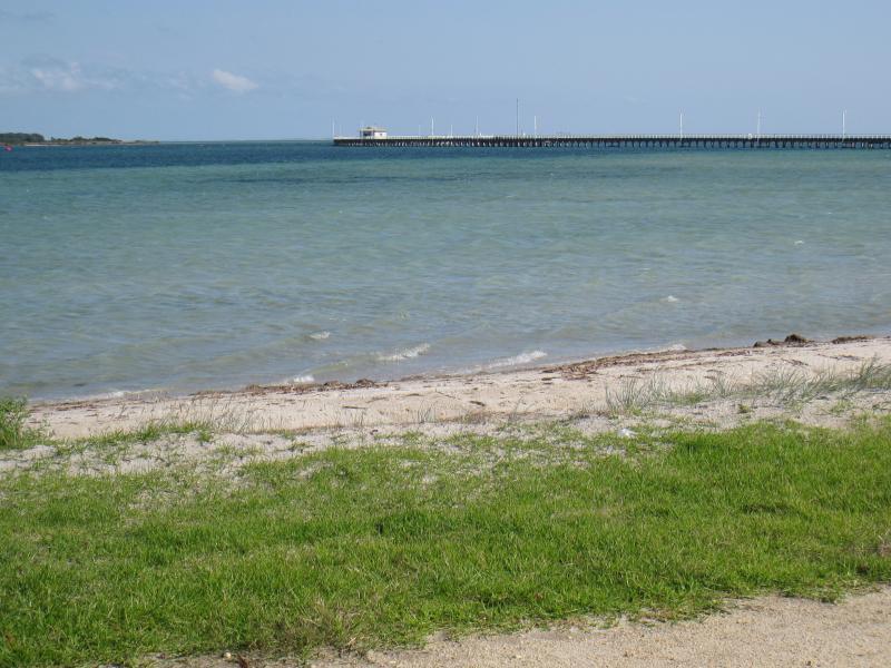
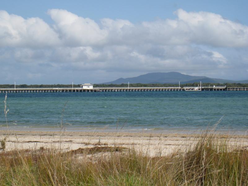
Foreshore and beach along southern side of Lewis Street - View south-west towards Long Jetty from foreshore near Albert St
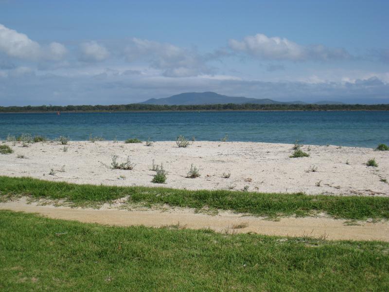
Foreshore and beach along southern side of Lewis Street - View east along foreshore near Keane St
Foreshore and beach along southern side of Lewis Street - View towards beach near Keane St
Foreshore and beach along southern side of Lewis Street - View south-west towards Long Jetty from foreshore near Keane St
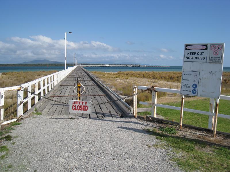
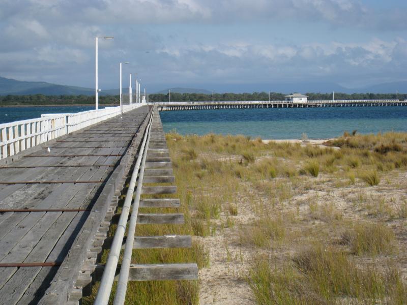
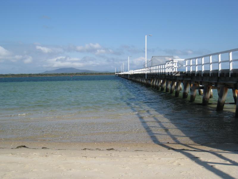
Long Jetty, western end of Lewis Street - Entrance to jetty
Long Jetty, western end of Lewis Street - View along jetty near entrance
Long Jetty, western end of Lewis Street - View along jetty near entrance
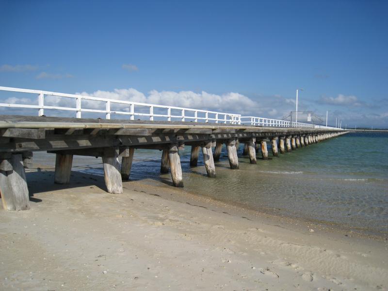
Long Jetty, western end of Lewis Street - View along side of jetty from beach
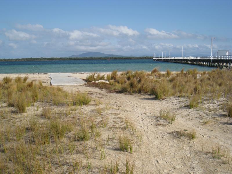
Long Jetty, western end of Lewis Street - View towards jetty from foreshore
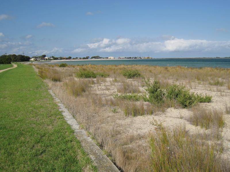
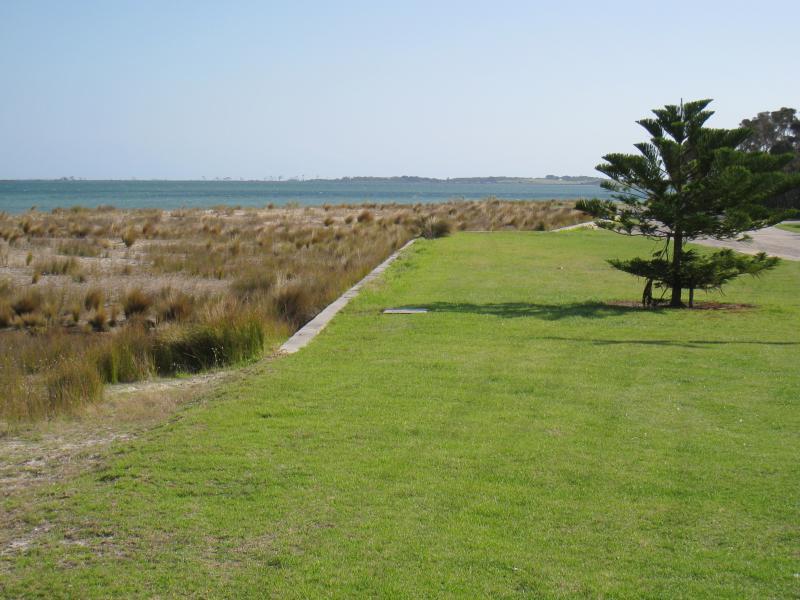
Long Jetty, western end of Lewis Street - View west along foreshore, west of jetty entrance
Long Jetty, western end of Lewis Street - View along jetty from beach
Long Jetty, western end of Lewis Street - Boat ramp on beach at eastern side of jetty
Long Jetty, western end of Lewis Street - View east along foreshore, east side of jetty
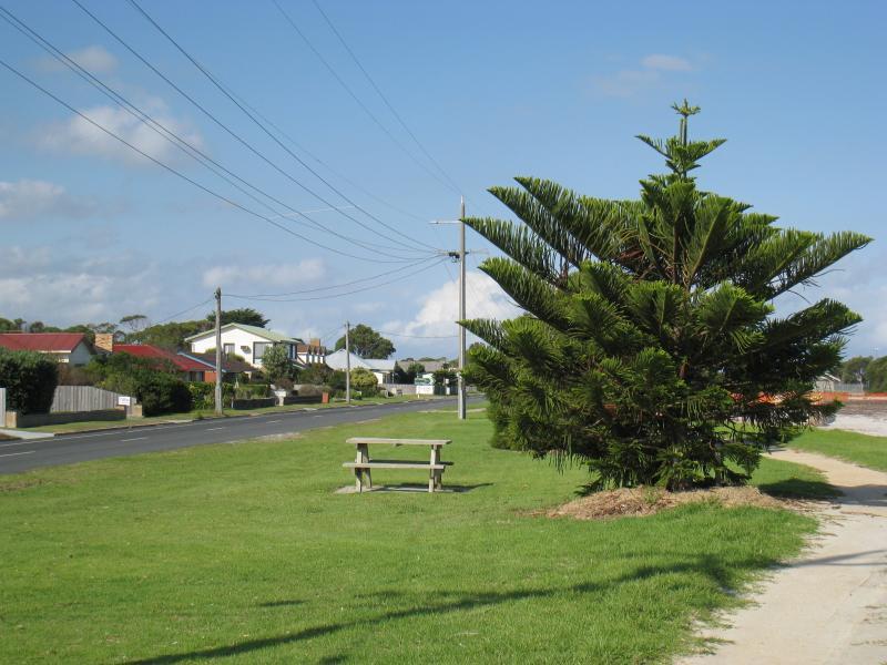
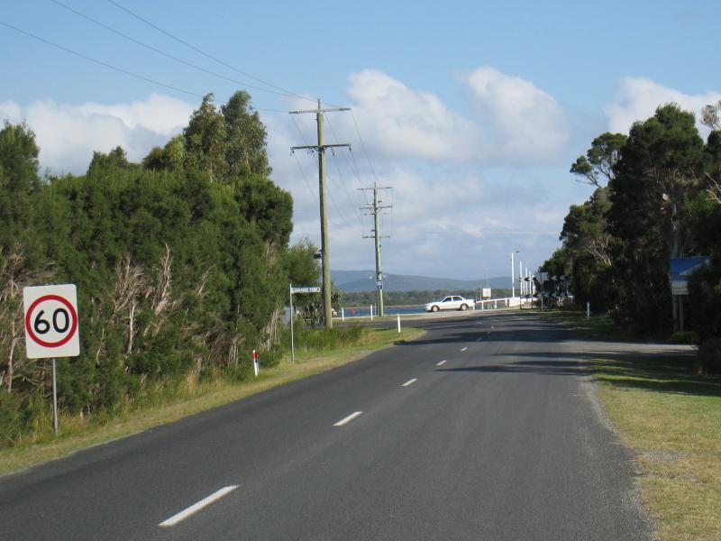
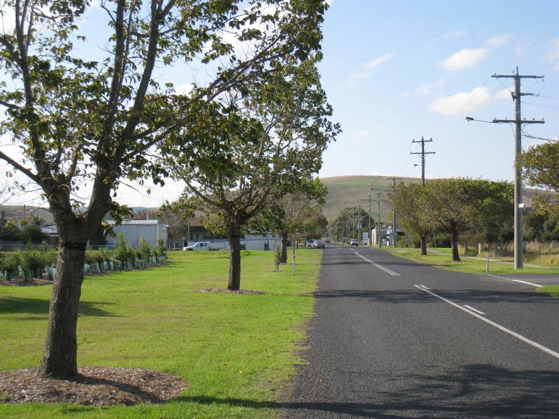
Port Welshpool Road - View south along Port Welshpool Rd towards Long Jetty and Lewis St
Port Welshpool Road - View south along Port Welshpool Rd towards town sign, north of Smith St
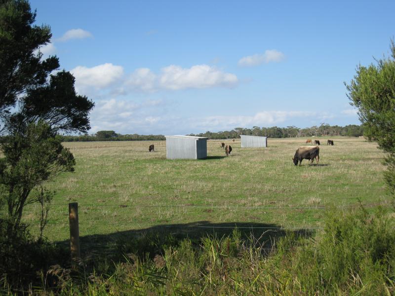
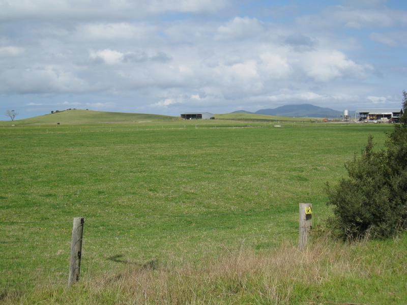
Port Welshpool Road - Easterly view through paddock, Port Welshpool Rd north of Smith St
Port Welshpool Road - View north along Port Welshpool Rd towards Railway Av, Welshpool
Welshpool town centre, Main Street (South Gippsland Highway) - Uniting Church, north side of Main St near Shady Creek
Welshpool town centre, Main Street (South Gippsland Highway) - View east along Main St towards Shady Creek
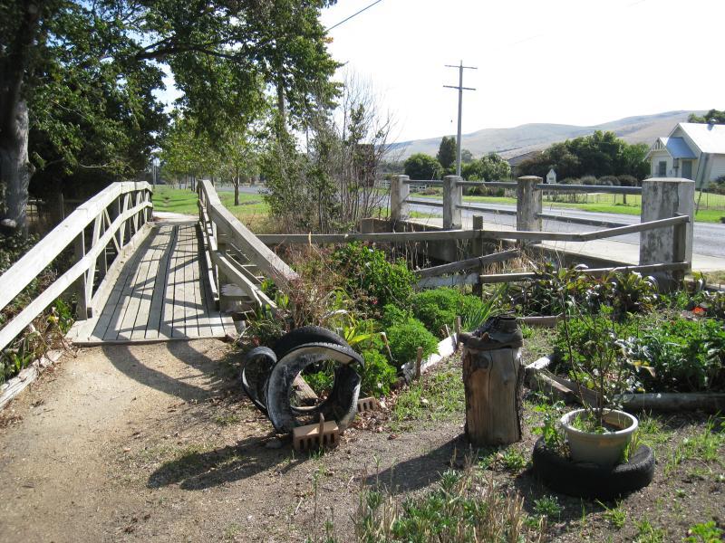
Welshpool town centre, Main Street (South Gippsland Highway) - Footbridge over Shady Creek, Main St
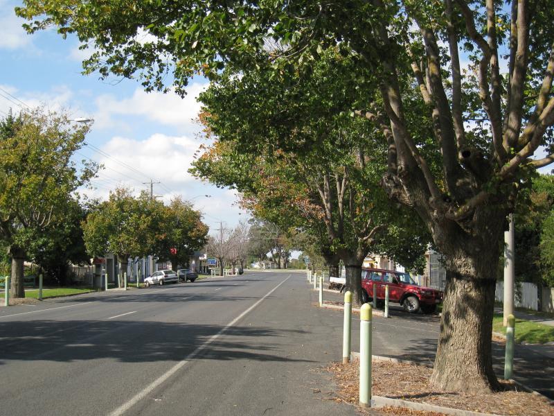
Welshpool town centre, Main Street (South Gippsland Highway) - View east along Main St, just east of Shady Creek
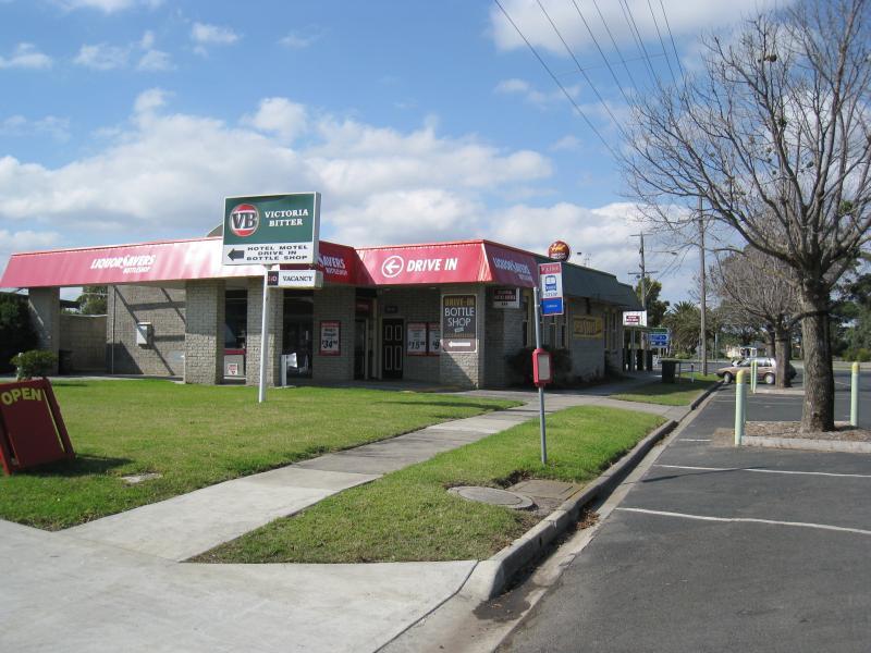
Welshpool town centre, Main Street (South Gippsland Highway) - Welshpool Hotel, view east along Main St towards Woorarra Rd
Welshpool town centre, Main Street (South Gippsland Highway) - Welshpool Hotel, view west along Main St at Woorarra Rd
Welshpool town centre, Main Street (South Gippsland Highway) - View north across Main St at Port Welshpool Rd towards hotel
Welshpool town centre, Main Street (South Gippsland Highway) - View north across Main St at Port Welshpool Rd towards service station
Welshpool town centre, Main Street (South Gippsland Highway) - Post office, south side of Main St
Welshpool town centre, Main Street (South Gippsland Highway) - Shops along south side of Main St, just west of Port Welshpool Rd
Welshpool town centre, Main Street (South Gippsland Highway) - View west along Main St, just west of Port Welshpool Rd
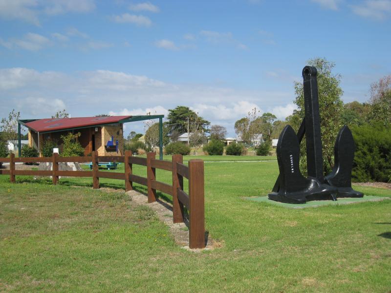
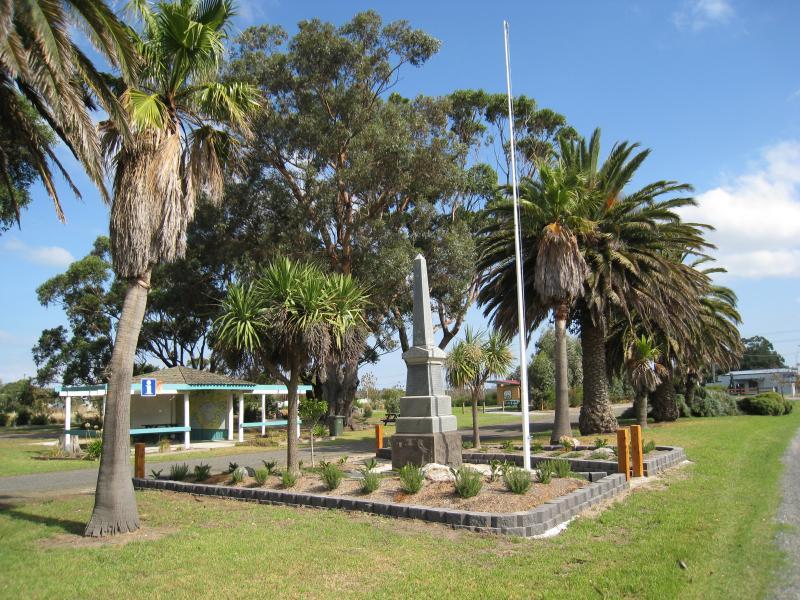
Gardens on southern side of Main Street at Port Welshpool Road, Welshpool - Black anchor monument and toilets
Gardens on southern side of Main Street at Port Welshpool Road, Welshpool - View south through gardens towards toilets
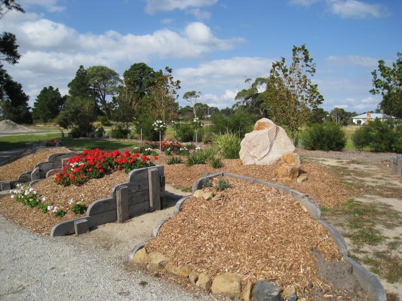
Gardens on southern side of Main Street at Port Welshpool Road, Welshpool - Flower beds and garden
Gardens on southern side of Main Street at Port Welshpool Road, Welshpool - View west through gardens towards war memorial and information shelter
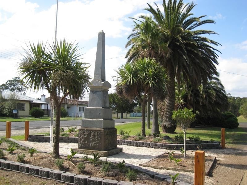
Gardens on southern side of Main Street at Port Welshpool Road, Welshpool - View east through gardens at war memorial
Woorarra Road, Welshpool - View north along Woorarra Rd, just north of Sidney St
Woorarra Road, Welshpool - Easterly view, Woorarra Rd just north of Sidney St
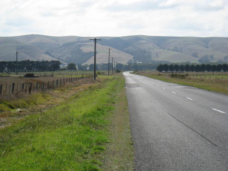
South Gippsland Highway, western edge of Welshpool - View east along highway, east of Slades Hill Rd
South Gippsland Highway, western edge of Welshpool - Northerly view, east of Slades Hill Rd
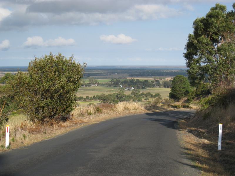
Slades Hill Road, Welshpool - View north along Slades Hill Rd, just from South Gippsland Highway
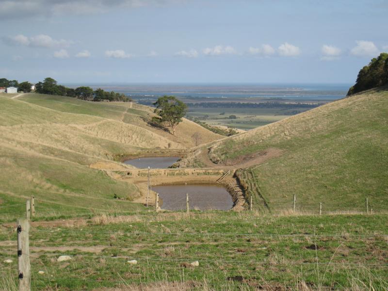
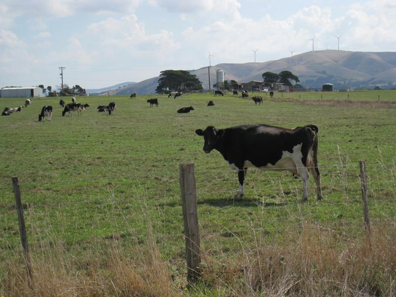
Slades Hill Road, Welshpool - Southerly view towards Wilsons Promontory mountains, Slades Hill Rd 700m from South Gippsland Hwy
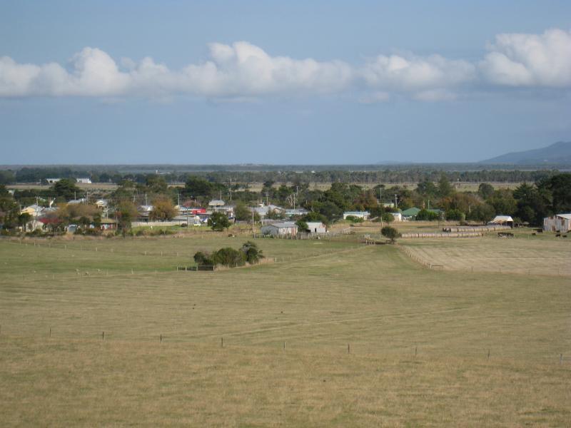
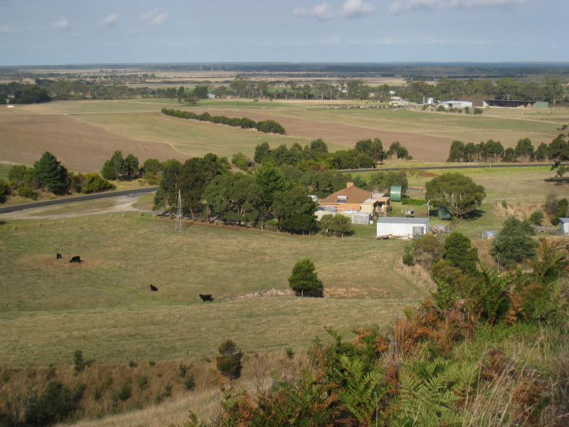
Slades Hill Road, Welshpool - South-easterly view towards Welshpool town centre, Slades Hill Rd 700m from South Gippsland Hwy
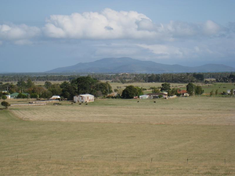
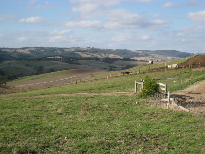
Slades Hill Road, Welshpool - North-east view, Slades Hill Rd 1km from South Gippsland Hwy
Slades Hill Road, Welshpool - Easterly view, Slades Hill Rd 1km from South Gippsland Hwy
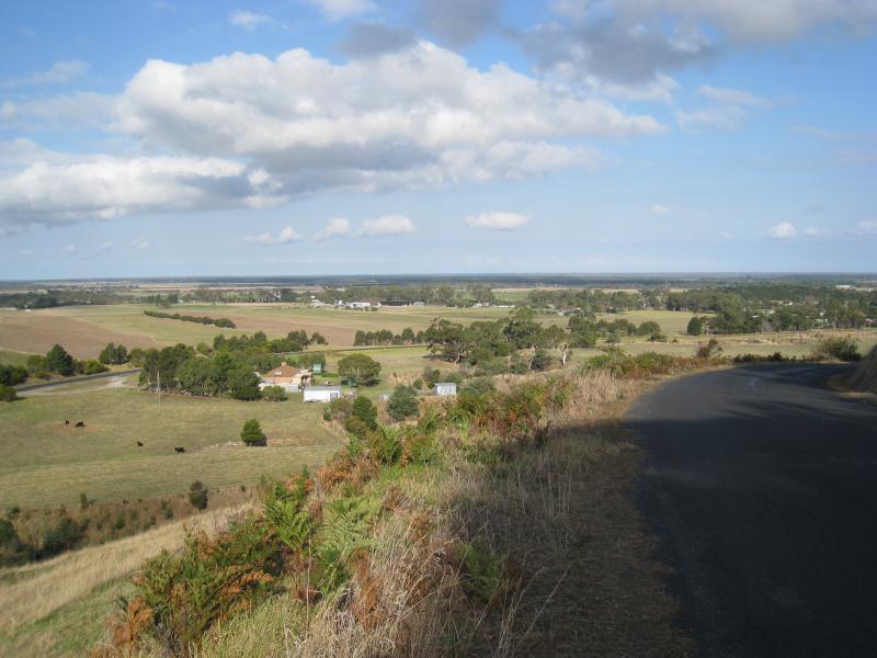
Slades Hill Road, Welshpool - South-easterly view, Slades Hill Rd 1km from South Gippsland Hwy
Slades Hill Road, Welshpool - South-easterly view, Slades Hill Rd 1km from South Gippsland Hwy
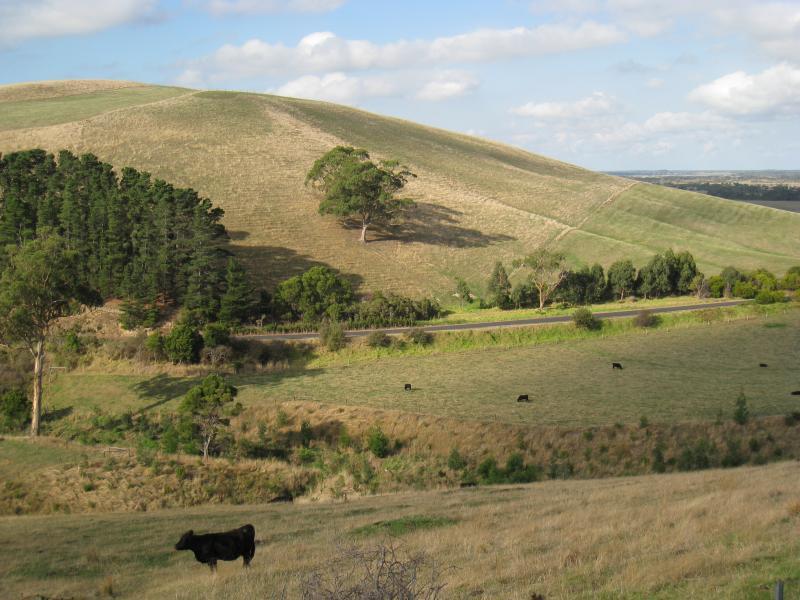
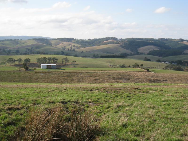
Slades Hill Road, Welshpool - View south along Slades Hill Rd, 1.5km from South Gippsland Hwy
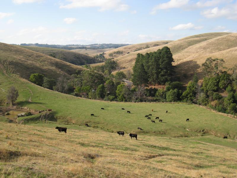
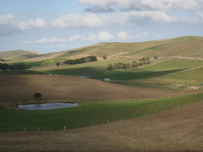
Slades Hill Road, Welshpool - South-easterly view, Slades Hill Rd, 2.5km from South Gippsland Hwy
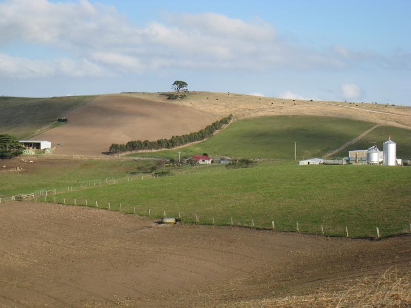
Slades Hill Road, Welshpool - North-easterly view, Slades Hill Rd, 2.5km from South Gippsland Hwy
Slades Hill Road, Welshpool - Northerly view, Slades Hill Rd, 2.5km from South Gippsland Hwy
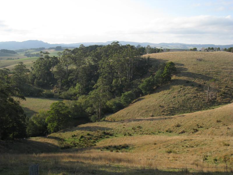
Agnes Falls Road - Southerly views, Agnes Falls Rd at Agnes River Rd
Agnes Falls Road - Southerly views, Agnes Falls Rd at Agnes River Rd
Agnes Falls Road - Northerly views along road
Agnes Falls Road - Northerly views along road
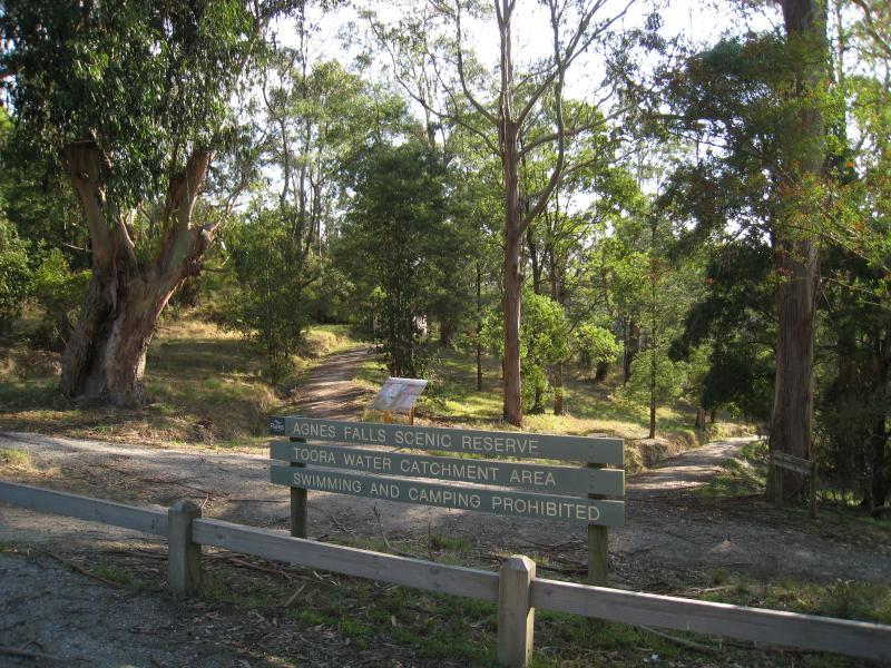
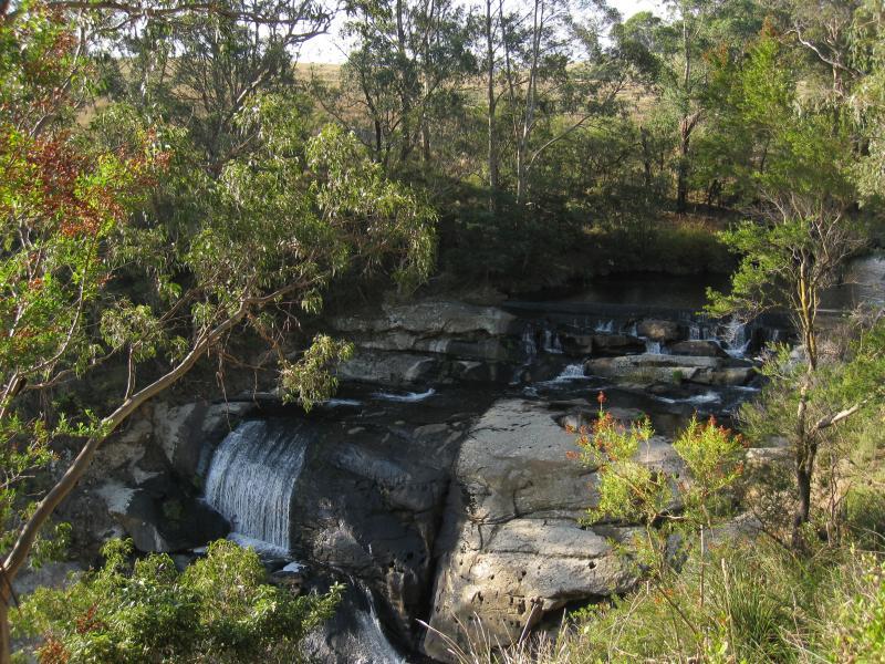
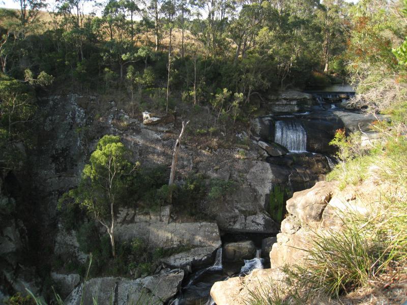
Agnes Falls Scenic Reserve - View from car park
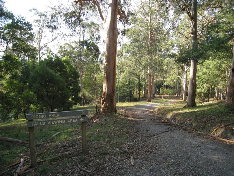
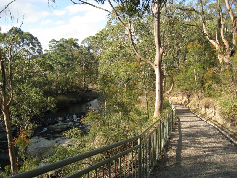
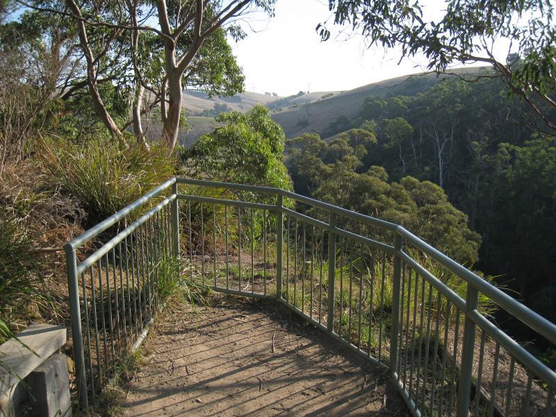
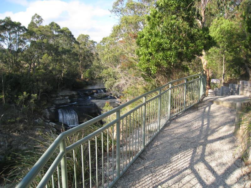
Agnes Falls Scenic Reserve - Start of walking tracks at car park
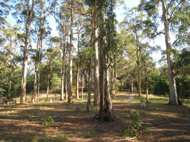
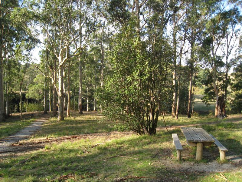
Agnes Falls Scenic Reserve - Picnic area
Agnes Falls Scenic Reserve - Picnic area
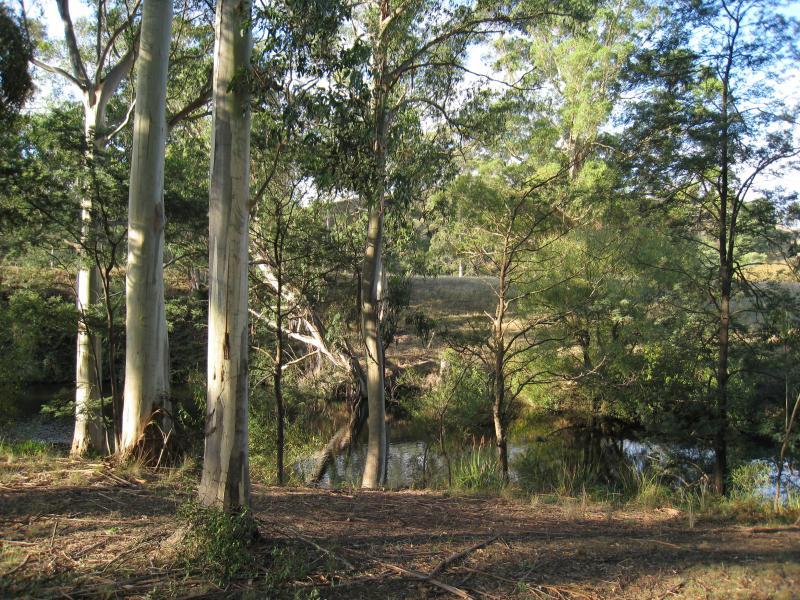
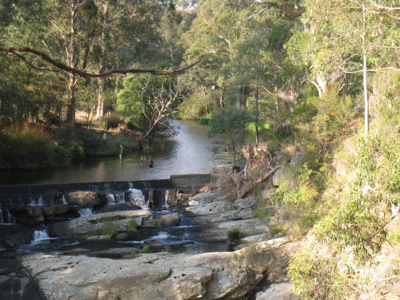
Agnes Falls Scenic Reserve - Agnes River at picnic area