Rutherglen - public transport
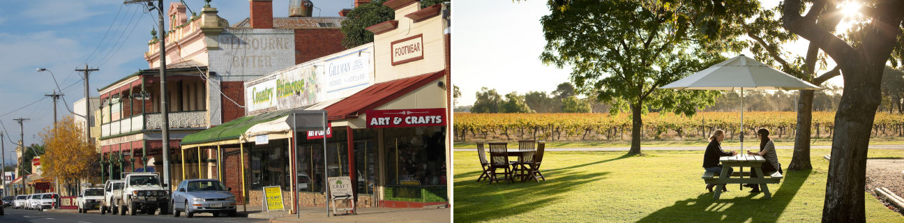
Rutherglen
Stay
See and do
Food and drink
Shopping
Getting around
Visitor information
Train
Springhurst station
(17 km away)
| Line | Operator | Timetable and stops | Map |
|---|---|---|---|
| Albury - Wodonga |  |
Albury (NSW) - Melbourne Via Albury (NSW), Wodonga, Chiltern, Springhurst, Wangaratta, Benalla, Violet Town, Euroa, Avenel, Seymour, Broadmeadows, Essendon, North Melbourne, Southern Cross |
Chiltern station
(19 km away)
| Line | Operator | Timetable and stops | Map |
|---|---|---|---|
| Albury - Wodonga | |
Albury (NSW) - Melbourne Via Albury (NSW), Wodonga, Chiltern, Springhurst, Wangaratta, Benalla, Violet Town, Euroa, Avenel, Seymour, Broadmeadows, Essendon, North Melbourne, Southern Cross |
Wangaratta station
(39 km away)
| Line | Operator | Timetable and stops | Map |
|---|---|---|---|
| Albury - Wodonga | |
Albury (NSW) - Melbourne Via Albury (NSW), Wodonga, Chiltern, Springhurst, Wangaratta, Benalla, Violet Town, Euroa, Avenel, Seymour, Broadmeadows, Essendon, North Melbourne, Southern Cross |
|
| Southern XPT |  |
Melbourne to Sydney Via Southern Cross, Broadmeadows, Seymour, Benalla, Wangaratta, Albury (NSW), Culcairn (NSW), Henty (NSW), The Rock (NSW), Wagga Wagga (NSW), Junee (NSW), Cootamundra(NSW), Harden (NSW), Yass Junction (NSW), Gunning (NSW), Goulburn (NSW), Moss Vale (NSW), Campbelltown (NSW), Sydney (NSW) |
Wodonga station
(47 km away)
| Line | Operator | Timetable and stops | Map |
|---|---|---|---|
| Albury - Wodonga | |
Albury (NSW) - Melbourne Via Albury (NSW), Wodonga, Chiltern, Springhurst, Wangaratta, Benalla, Violet Town, Euroa, Avenel, Seymour, Broadmeadows, Essendon, North Melbourne, Southern Cross |
Bus
Taxi
| Operator | Areas covered | Phone |
|---|---|---|
| Corowa Wahgunyah Taxis | Corowa (NSW), Rutherglen, Wahgunyah | (02) 6033 1634 |