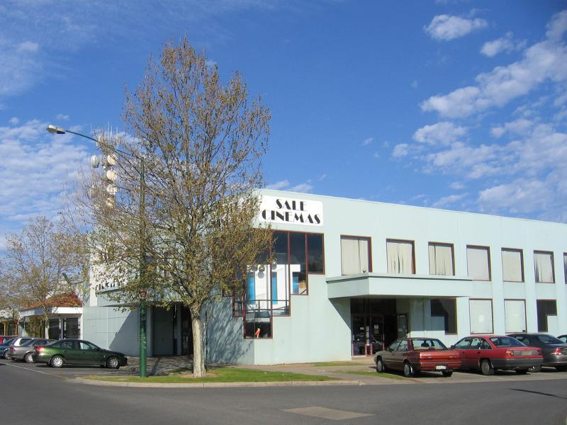
Commercial centre and shops, Cunninghame Street and Raymond Street - Sale Cinemas, corner Cunninghame St and Pearson St
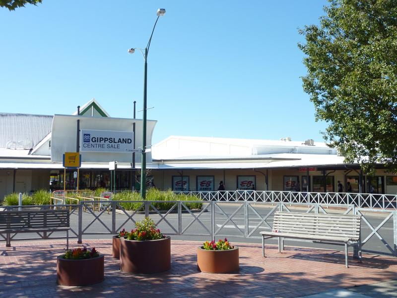
Commercial centre and shops, Cunninghame Street and Raymond Street - Gippsland Centre Sale, corner Cunninghame St and Desailly St
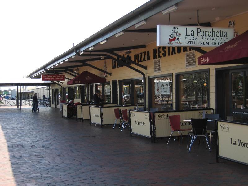
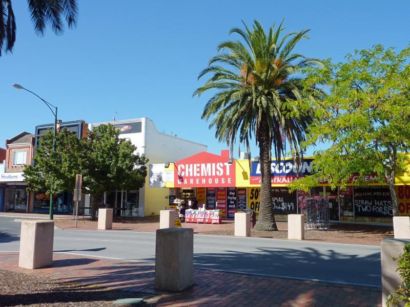
Commercial centre and shops, Cunninghame Street and Raymond Street - La Porchetta restaurant, view west along Cunninghame St Mall towards Desailly St
Commercial centre and shops, Cunninghame Street and Raymond Street - View east along Cunninghame St Mall from near Desailly St
Commercial centre and shops, Cunninghame Street and Raymond Street - View east along Cunninghame St Mall
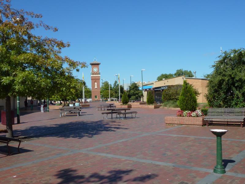
Commercial centre and shops, Cunninghame Street and Raymond Street - View east along Cunninghame St Mall towards Raymond St
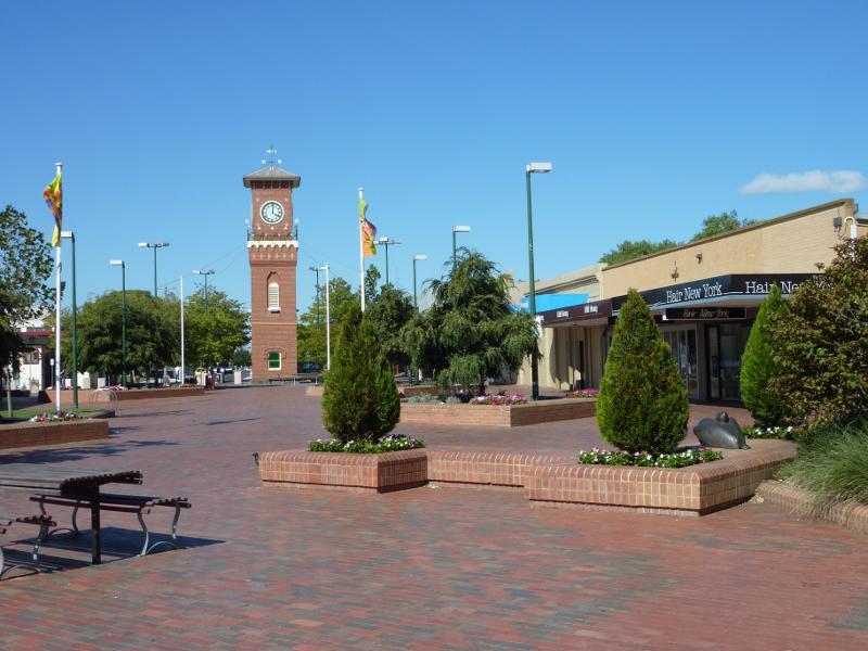
Commercial centre and shops, Cunninghame Street and Raymond Street - View west along Cunninghame St towards Raymond St
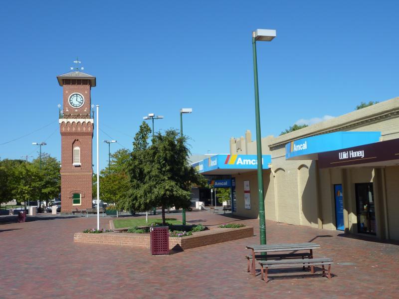
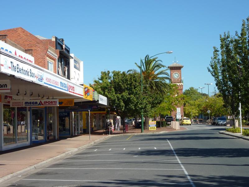
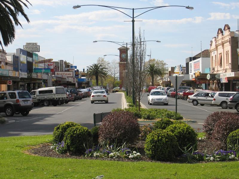
Commercial centre and shops, Cunninghame Street and Raymond Street - View east along Cunninghame St between Raymond St and York St
Commercial centre and shops, Cunninghame Street and Raymond Street - View south along Raymond St towards Cunninghame St
Commercial centre and shops, Cunninghame Street and Raymond Street - View south along Raymond St towards Cunninghame St
Commercial centre and shops, Cunninghame Street and Raymond Street - View east across Raymond St just north of Cunninghame St
Commercial centre and shops, Cunninghame Street and Raymond Street - View south along Raymond St towards New Railway Rd
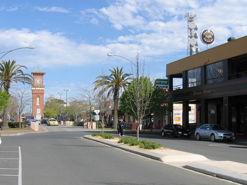
Commercial centre and shops, Cunninghame Street and Raymond Street - View south along Raymond St towards Crown Hotel and New Railway Rd
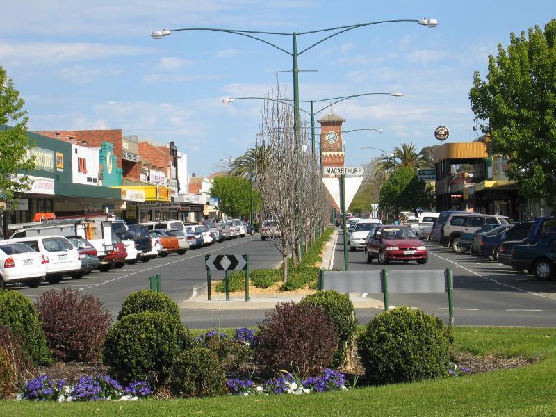
Commercial centre and shops, Cunninghame Street and Raymond Street - View south along Raymond St at Macarthur St
Commercial centre and shops, Cunninghame Street and Raymond Street - View south along Raymond St at Macarthur St
Commercial centre and shops, Cunninghame Street and Raymond Street - View north along Raymond St towards Cunninghame St
Commercial centre and shops, Cunninghame Street and Raymond Street - View south along Raymond St just south of Cunninghame St
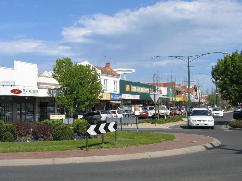
Commercial centre and shops, Cunninghame Street and Raymond Street - View south along Raymond St between Cunninghame St and MacAlister St
Commercial centre and shops, Cunninghame Street and Raymond Street - View west across Raymond St towards Cobb & Co. Stables
Commercial centre and shops, Cunninghame Street and Raymond Street - View north along Raymond St at MacAlister St
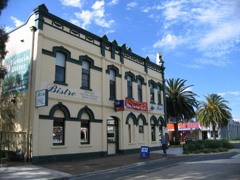
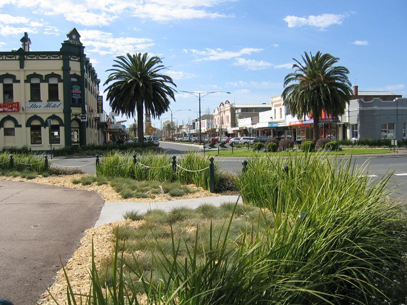
Commercial centre and shops, Cunninghame Street and Raymond Street - Star Hotel, corner Raymond St and MacAlister St
Commercial centre and shops, Cunninghame Street and Raymond Street - View north along Raymond St towards MacAlister St
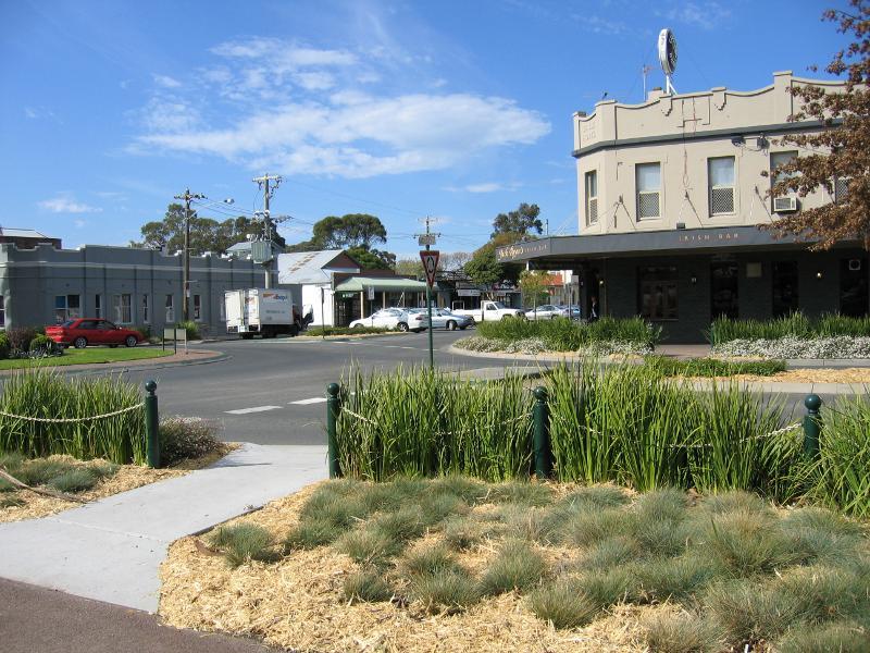
Commercial centre and shops, Cunninghame Street and Raymond Street - Jack Ryan's Irish Bar, corner Raymond St and MacAlister St
Commercial centre and shops, Cunninghame Street and Raymond Street - Corner of Raymond St and Bond St
Princes Highway through Sale - View east along Princes Hwy east of Flooding Creek
Princes Highway through Sale - View east along Princes Hwy towards Pearson St
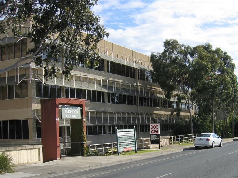
Princes Highway through Sale - Port of Sale Business Centre, view west along Princes Hwy towards Pearson St
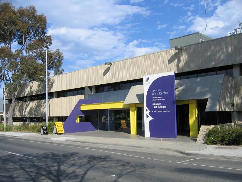
Princes Highway through Sale - Port of Sale Civic Centre and Art Gallery, Princes Hwy between Pearson St and Desailly St
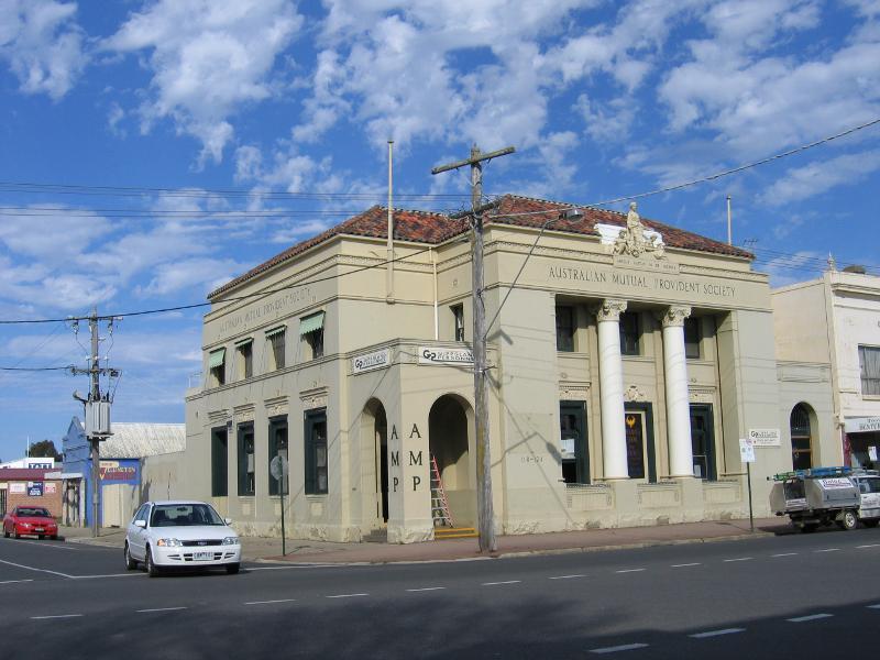
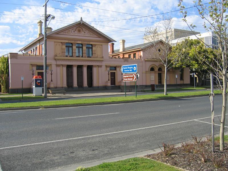
Princes Highway through Sale - Court House, Princes Hwy between Desailly St and Raymond St
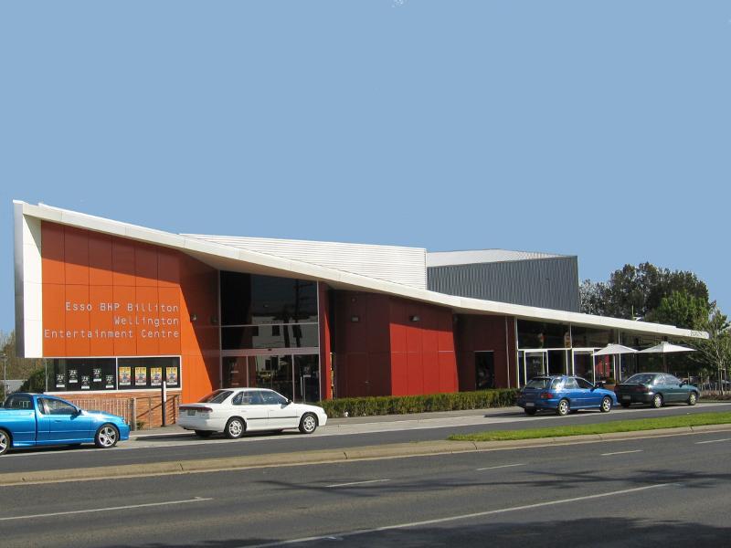
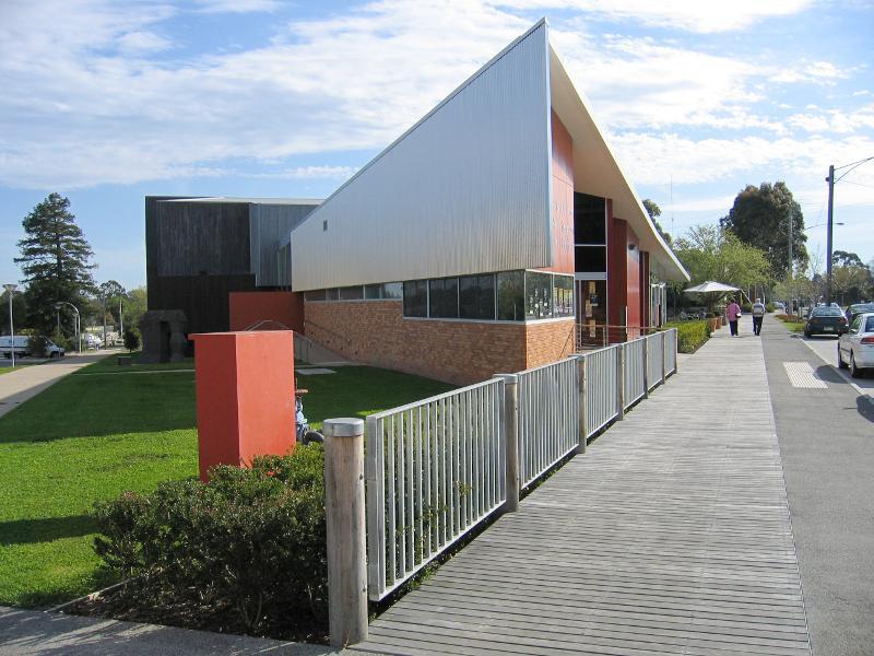
Princes Highway through Sale - Wellington Entertainment Centre, corner of Princes Hwy and Raymond St
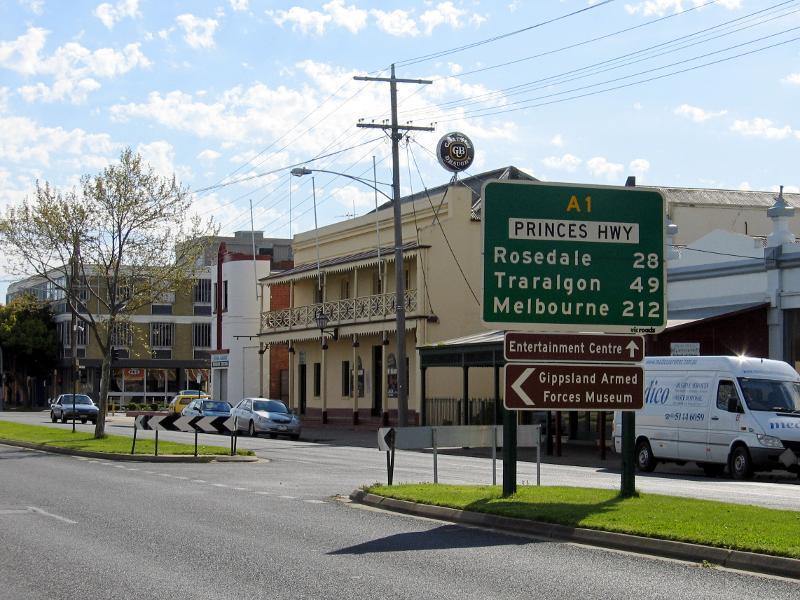
Princes Highway through Sale - View east along Princes Hwy towards Raymond St
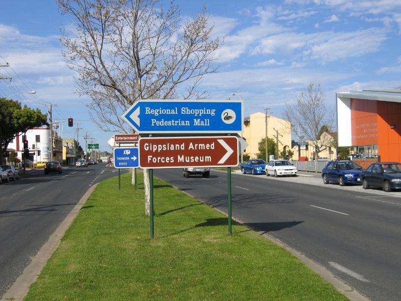
Princes Highway through Sale - Wellington Entertainment Centre, view west along Princes Hwy at Raymond St
Princes Highway through Sale - View west along Princes Hwy towards Raymond St
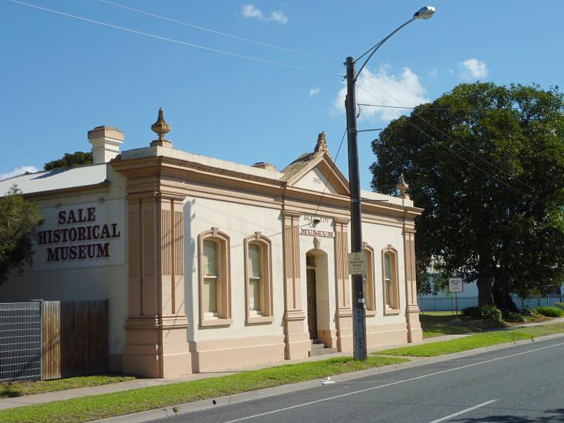
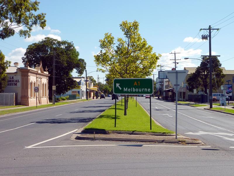
Princes Highway through Sale - Sale Historical Museum, Princes Hwy between Raymond St and York St
Princes Highway through Sale - View west along Princes Hwy at York St
Princes Highway through Sale - View south along York St at Foster St
Princes Highway through Sale - View north along Princes Hwy at Foster St
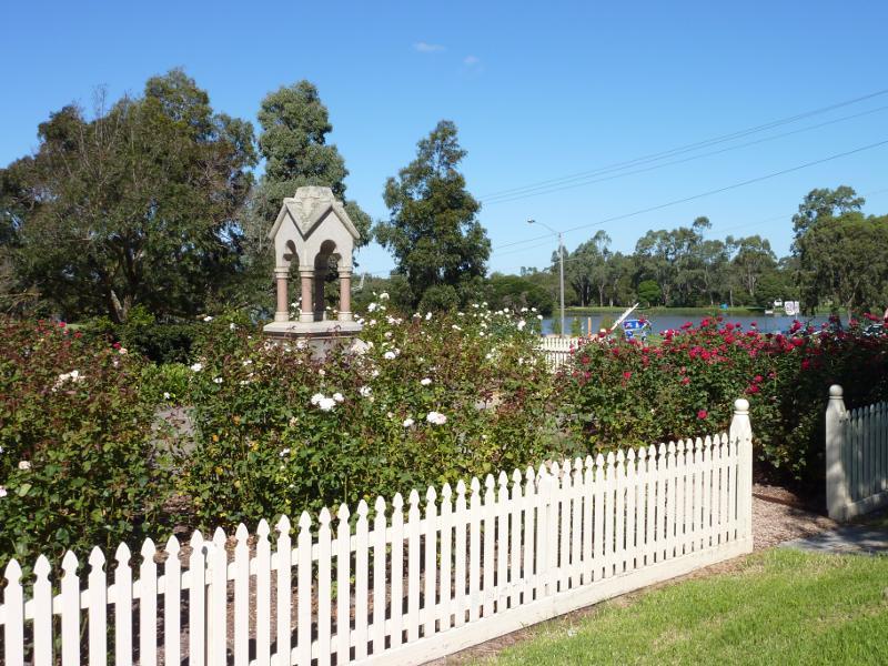
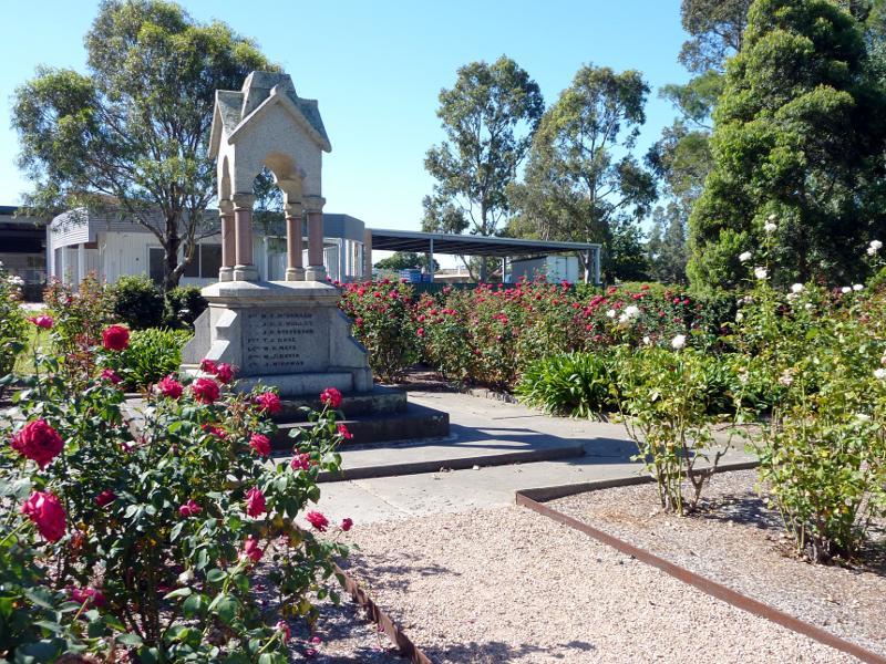
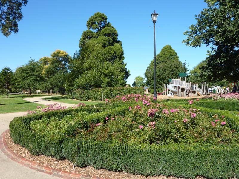
Princes Highway through Sale - Rose garden at McMillan Park, corner Foster St and York St
Princes Highway through Sale - Rose garden at McMillan Park, corner Foster St and York St
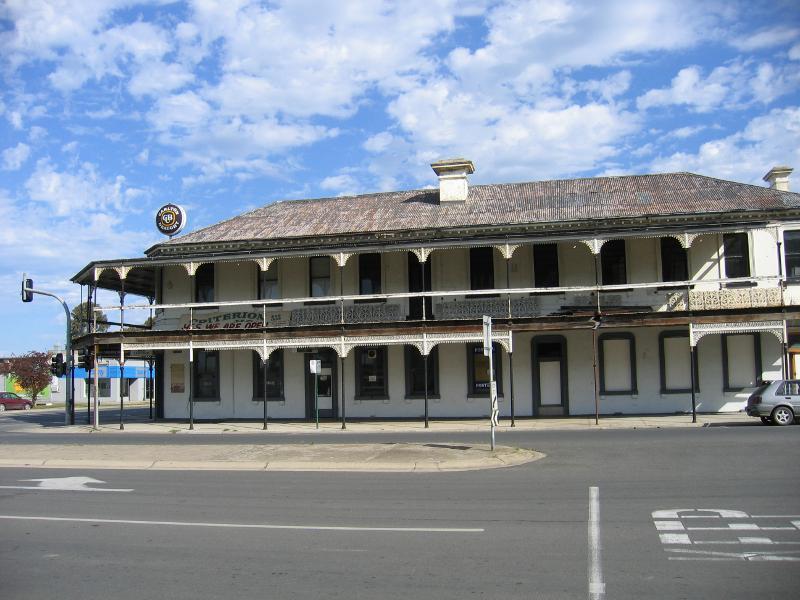
Princes Highway through Sale - Criterion Hotel, corner MacAlister St and Princes Hwy
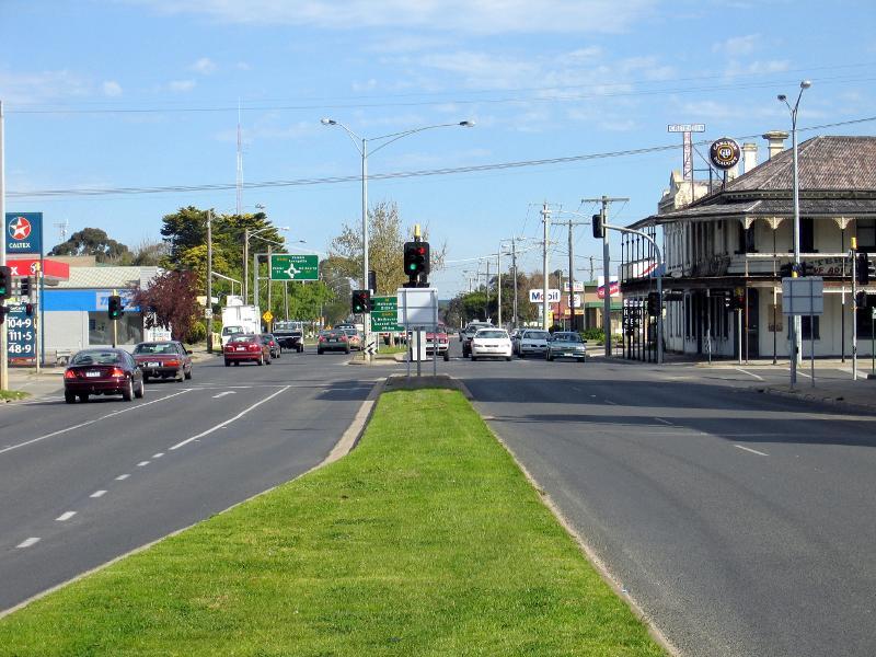
Princes Highway through Sale - View south along Princes Hwy towards MacAlister St
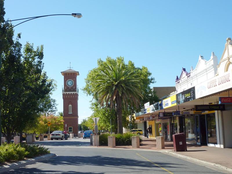
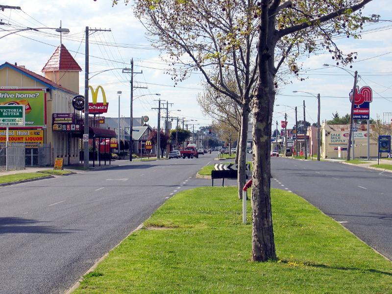
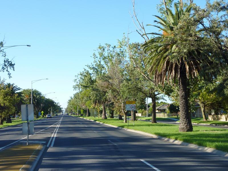
Princes Highway through Sale - View north along Princes Hwy towards Cunninghame St
Princes Highway through Sale - View north along Princes Hwy at Aerodrome Rd
Princes Highway through Sale - View east along Aerodrome Rd at Princes Hwy
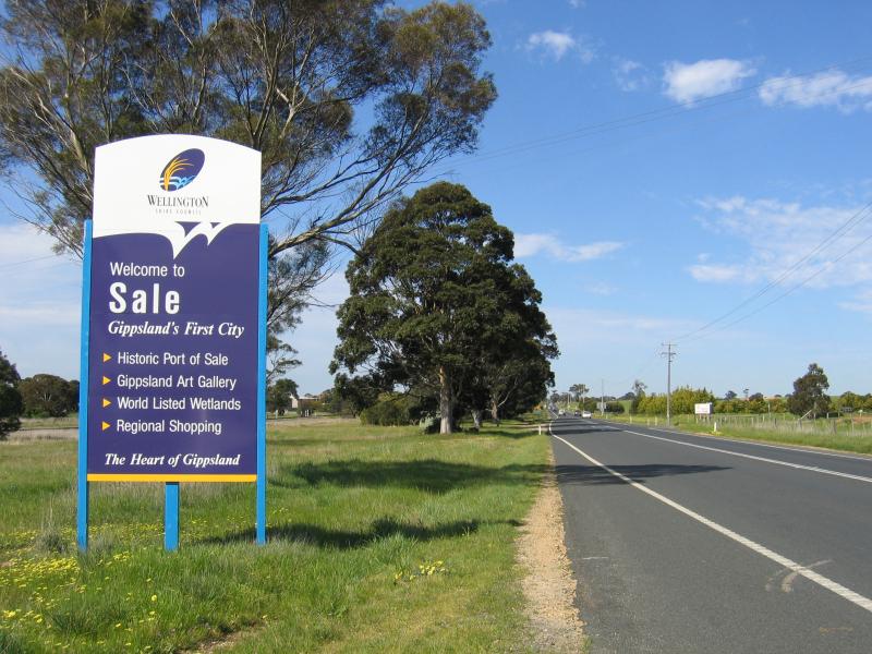
Around the town - Welcome to Sale sign, Princes Hwy, 4 kilometres west of town centre
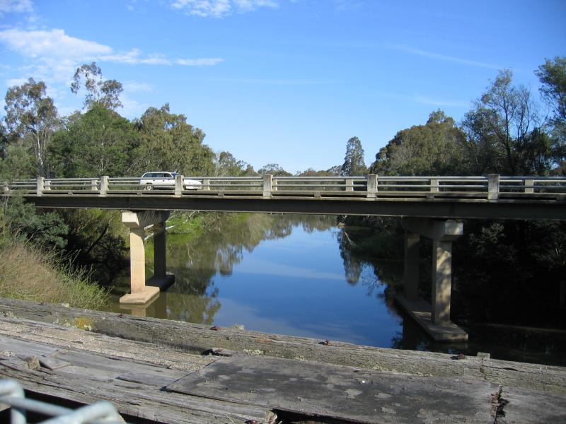
Around the town - View south along Thomson River towards Princes Hwy bridge
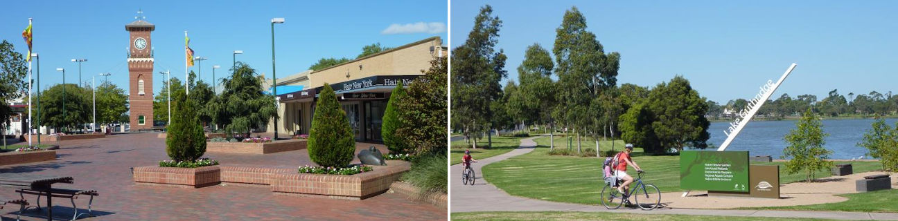
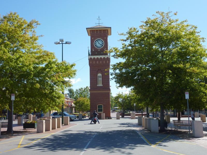
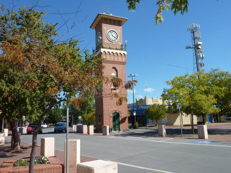
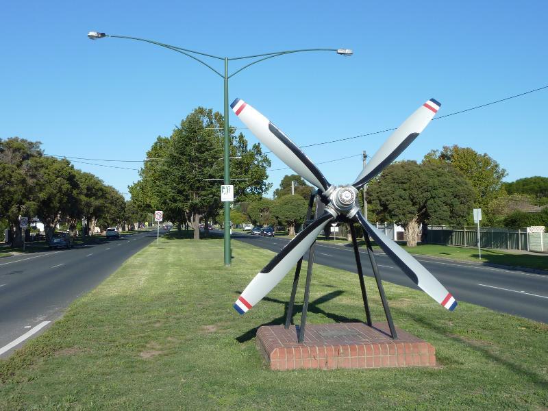
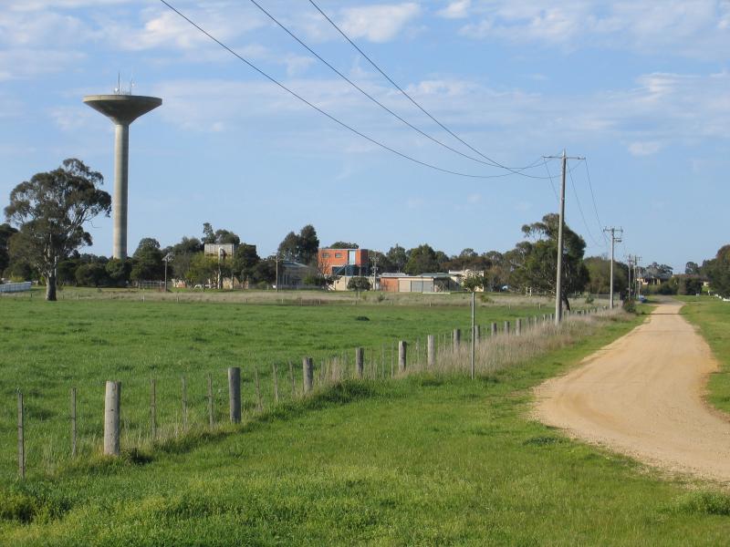
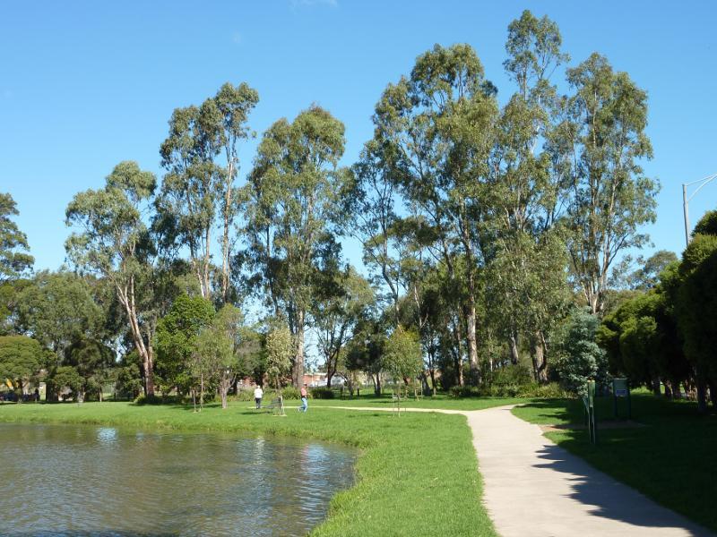
Around the town - View north-east along Cunninghame St towards water tower
Around the town - Sale Memorial Hall, MacAlister St between Princes Hwy and Raymond St
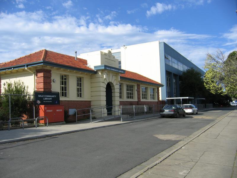
Around the town - Sale Library, view east along MacAlister St between Princes Hwy and Raymond St
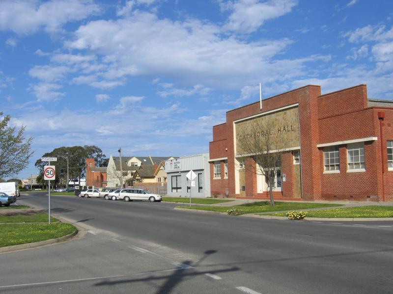
Around the town - Cathedral Hall, view east along MacAlister St at Pearson St
Around the town - Uniting Church, corner MacAlister St and Raymond St
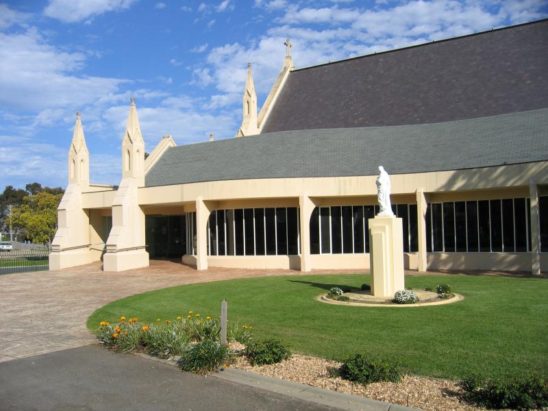
Around the town - St Marys Catholic Church, Pearson St
Around the town - St Patricks Catholic College, view north along Pearson St at MacAlister St
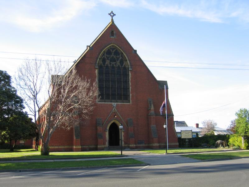
Around the town - St Pauls Anglican Church, Cunninghame St
Around the town - Entrance to Victoria Park, corner Cunninghame St and Marley St
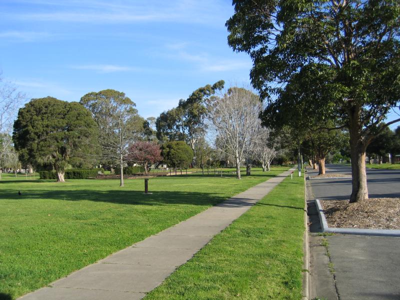
Around the town - Victoria Park, view south along Marley St
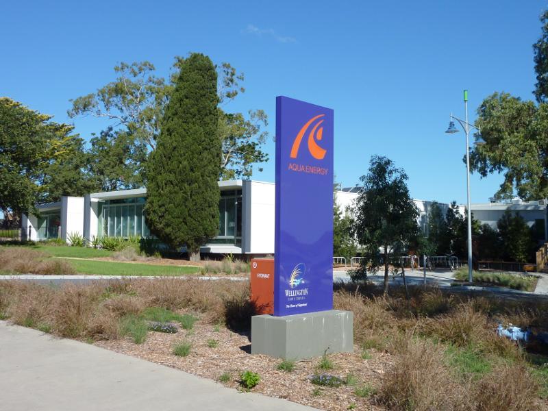
Around the town - Entrance to Aqua Energy sports centre, corner Foster St and Elgin St
Around the town - Pool at Aqua Energy sports centre viewed from botanic gardens
Around the town - Sale Railway Museum, view south along Reeve St at Railway Pl
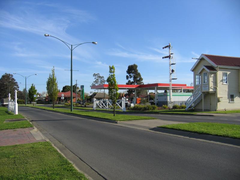
Around the town - Sale railway station, Pettit Dr
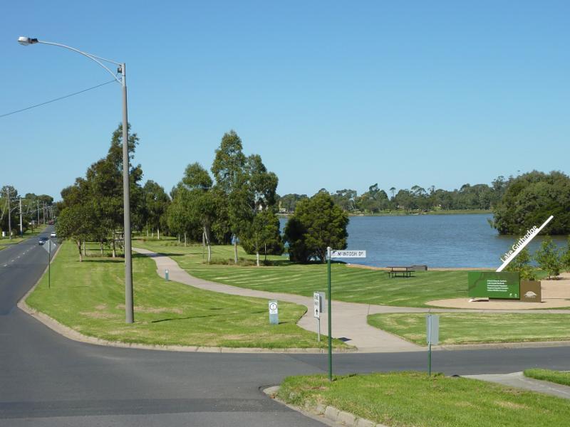
Lake Guthridge and surroundings - View east along Foster St towards McIntosh Dr and Lake Guthridge
Lake Guthridge and surroundings - View east along lake from McIntosh Dr at Foster St
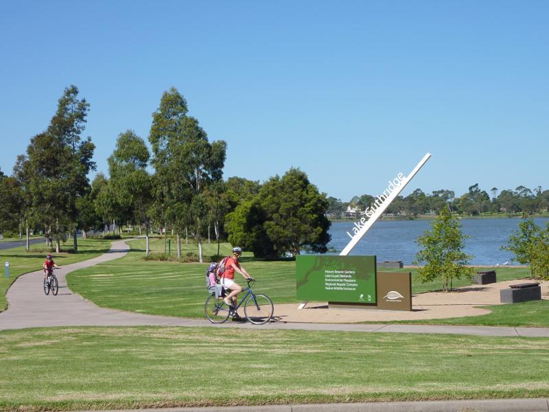
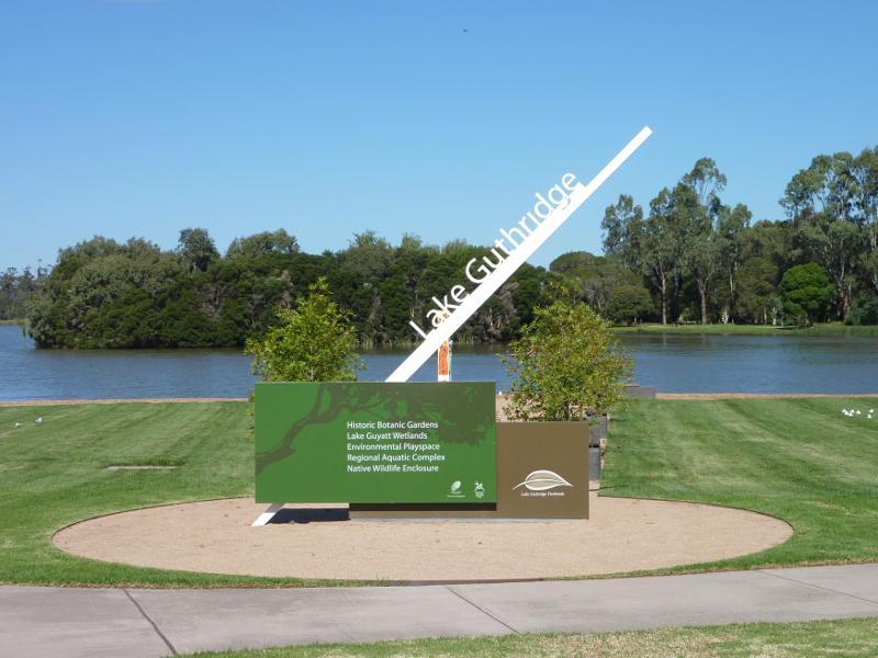
Lake Guthridge and surroundings - Lake Guthridge sign, McIntosh Dr at Foster St
Lake Guthridge and surroundings - South-east view across lake near lake sign
Lake Guthridge and surroundings - Southerly view across lake from northern end of McIntosh Dr
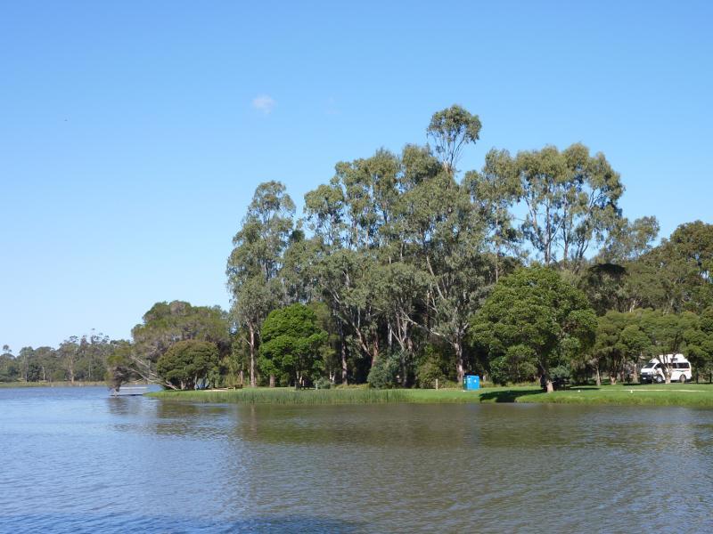
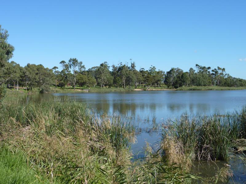
Lake Guthridge and surroundings - View east along lake from northern end of McIntosh Dr
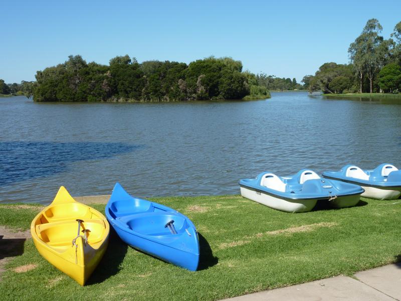
Lake Guthridge and surroundings - Boats along western side of lake
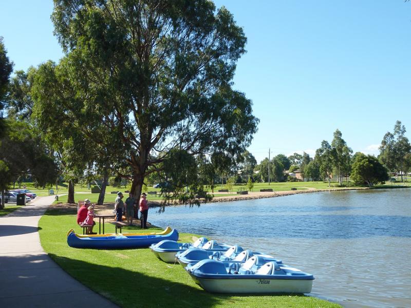
Lake Guthridge and surroundings - View north along lake beside McIntosh Dr towards paddle boats
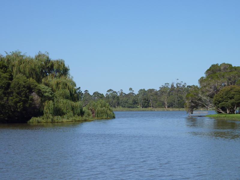
Lake Guthridge and surroundings - View south along lake beside McIntosh Dr
Lake Guthridge and surroundings - View across lake's western side
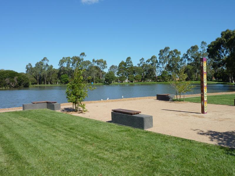
Lake Guthridge and surroundings - View across lake from McIntosh Dr towards island
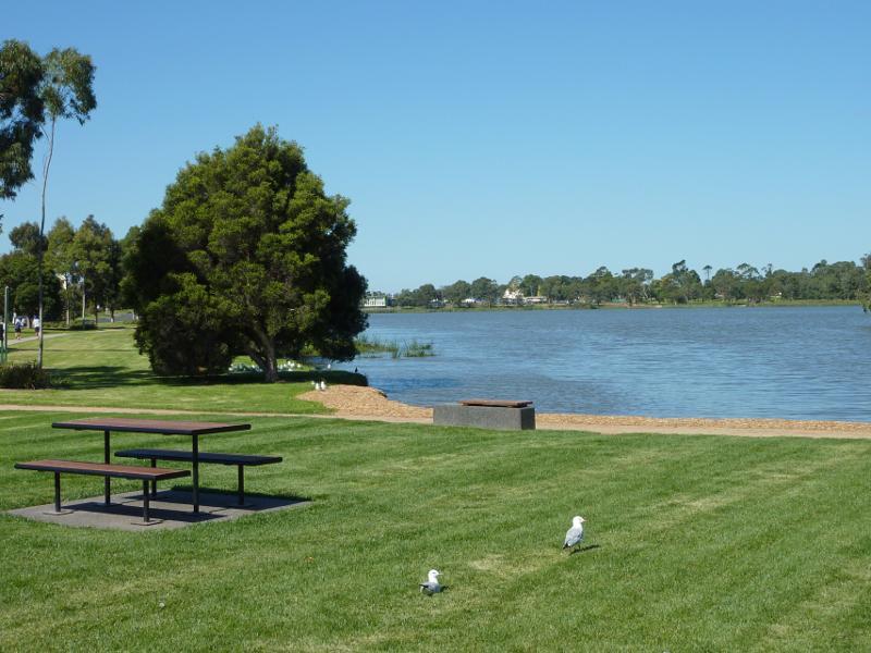
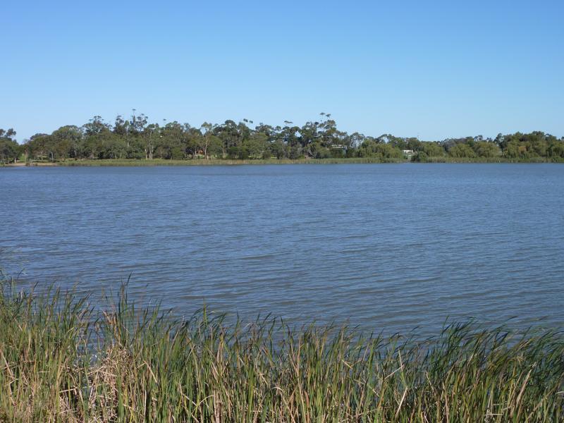
Lake Guthridge and surroundings - View south across lake from Foster St near Barkly St
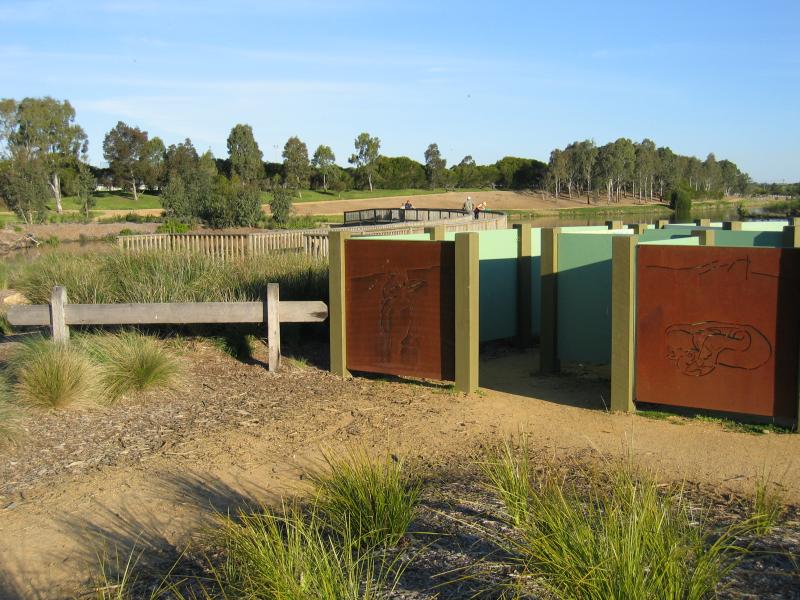
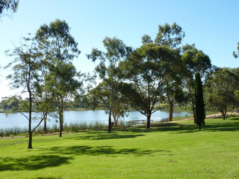
Lake Guthridge and surroundings - View towards botanic gardens from north-eastern corner of lake
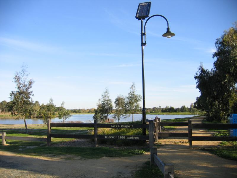
Lake Guyatt - Lake Guyatt, car park at McIntosh Dr
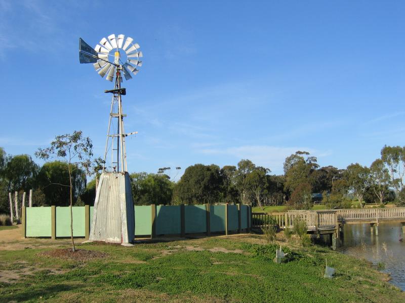
Lake Guyatt - Lake Guyatt, windmill and maze
Lake Guyatt - Lake Guyatt, windmill and maze
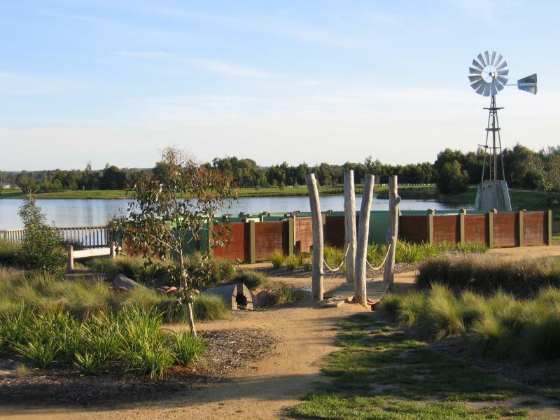
Lake Guyatt - Lake Guyatt, windmill and maze
Lake Guyatt - Lake Guyatt, maze
Lake Guyatt - Lake Guyatt
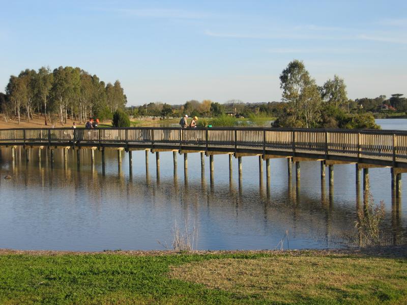
Lake Guyatt - Walkway across Lake Guyatt
Botanic Gardens - Entrance to gardens, southern end of Elgin St fronting Lake Guthridge
Botanic Gardens - View east through gardens from Elgin St entrance
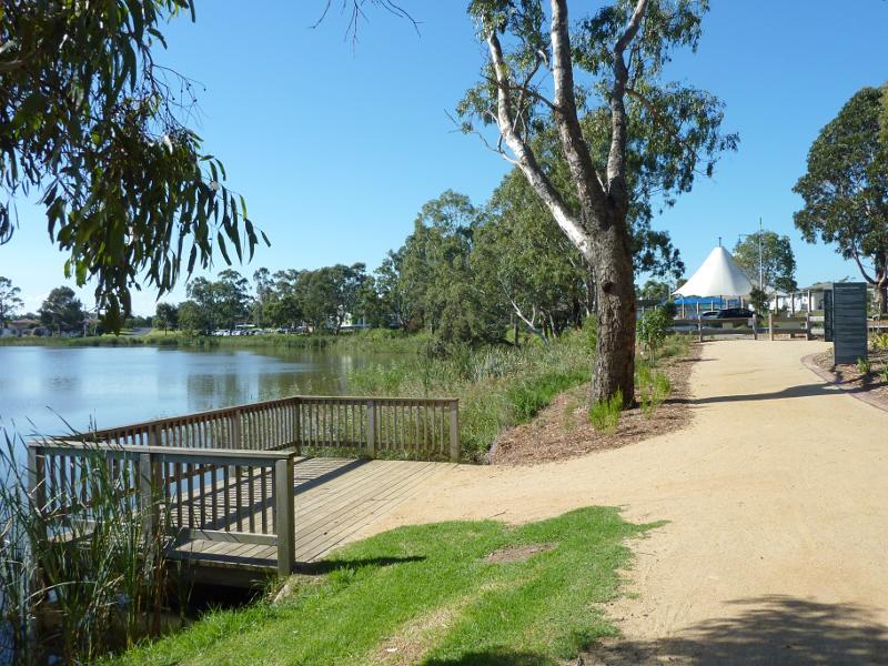
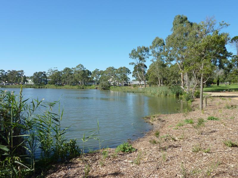
Botanic Gardens - View south along Lake Guthridge
Botanic Gardens - View north along Lake Guthridge towards entrance to gardens
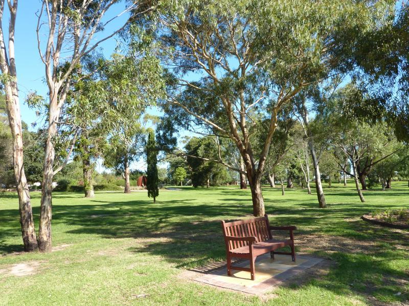
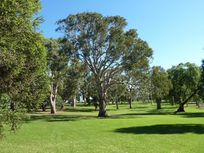
Botanic Gardens - Lawns
Botanic Gardens - View from gardens towards Lake Guthridge
Botanic Gardens - North-easterly view along Lake Guthridge towards southern end of gardens
Botanic Gardens - Lawns
Botanic Gardens - Pathway near southern end of gardens
Botanic Gardens - Trees near tennis courts
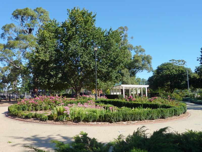
Botanic Gardens - Floral circle
Botanic Gardens - View across floral circle towards playground
Botanic Gardens - Tennis courts and shelter
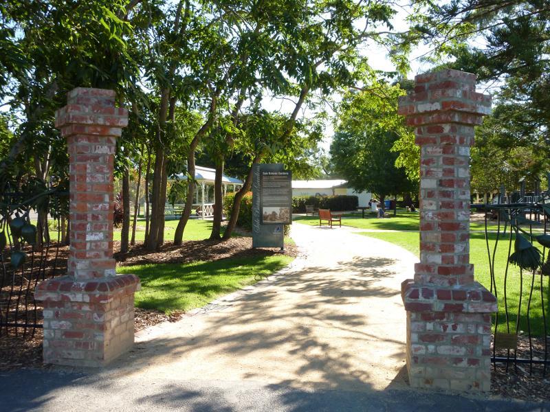
Botanic Gardens - Entrance to botanic gardens at Guthridge Pde
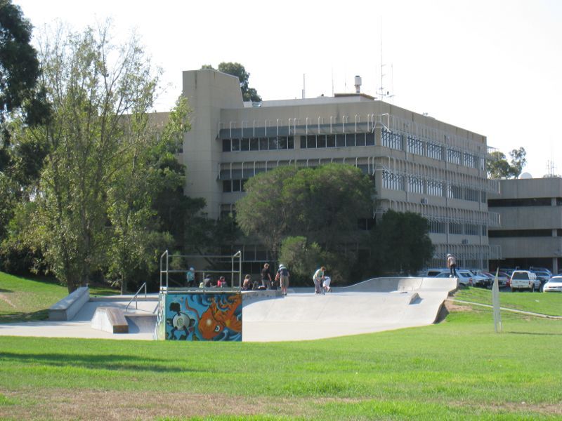
Port of Sale precinct, Canal Road and McMillan Street along Flooding Creek - Skate park and Port of Sale Business Centre, Canal Rd
Port of Sale precinct, Canal Road and McMillan Street along Flooding Creek - View north to Port of Sale Business Centre from Canal Rd
Port of Sale precinct, Canal Road and McMillan Street along Flooding Creek - View south along bridge at Park St over canal
Port of Sale precinct, Canal Road and McMillan Street along Flooding Creek - View east along canal from bridge at Park St
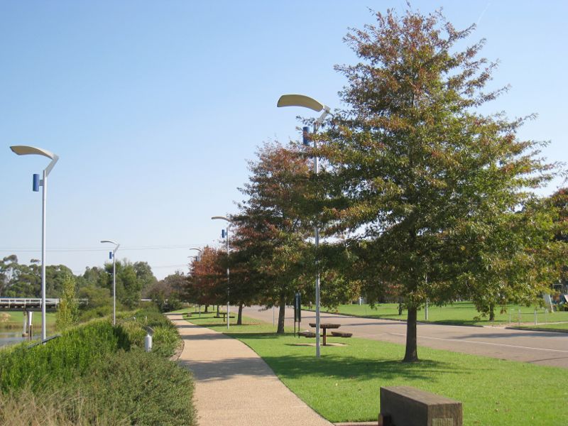
Port of Sale precinct, Canal Road and McMillan Street along Flooding Creek - View west along Canal Rd towards Park St
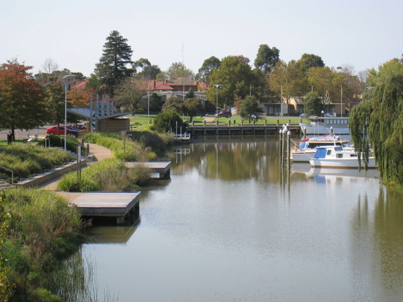
Port of Sale precinct, Canal Road and McMillan Street along Flooding Creek - View east along canal
Port of Sale precinct, Canal Road and McMillan Street along Flooding Creek - View south across canal from Canal Rd
Port of Sale precinct, Canal Road and McMillan Street along Flooding Creek - View west along canal and towards shelter and toilet block on Canal Rd
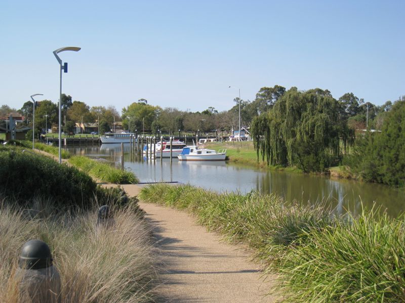
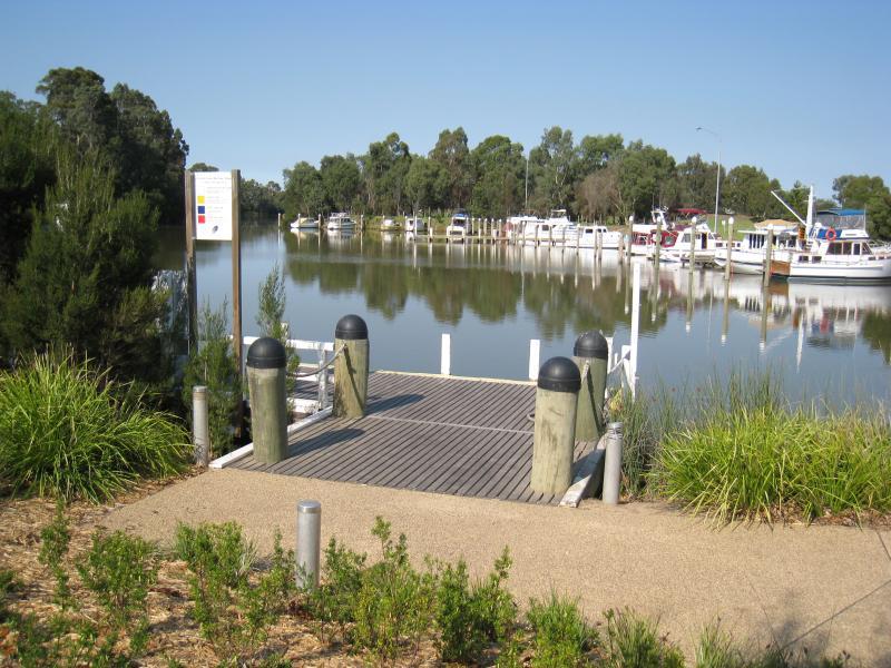
Port of Sale precinct, Canal Road and McMillan Street along Flooding Creek - View south-east along canal near eastern end of Canal Rd
Port of Sale precinct, Canal Road and McMillan Street along Flooding Creek - View east along canal near eastern end of Canal Rd
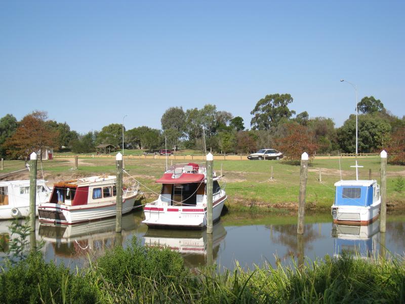
Port of Sale precinct, Canal Road and McMillan Street along Flooding Creek - View across canal at from park at eastern end of Canal Rd
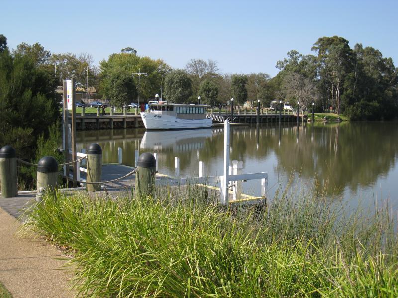
Port of Sale precinct, Canal Road and McMillan Street along Flooding Creek - View south-east along canal from park at McMillan St
Port of Sale precinct, Canal Road and McMillan Street along Flooding Creek - View west towards canal from park along McMillan St
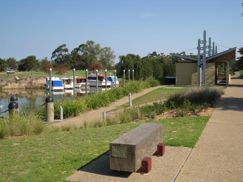
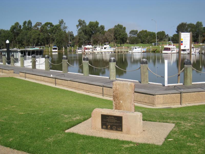
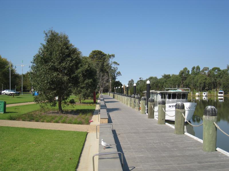
Port of Sale precinct, Canal Road and McMillan Street along Flooding Creek - View south-east along canal towards end of wharf at park along McMillan St
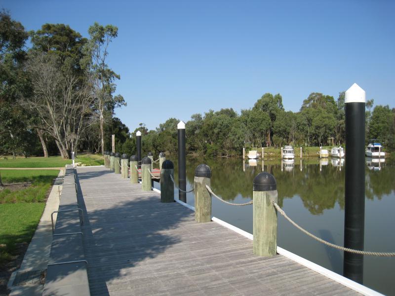
Port of Sale precinct, Canal Road and McMillan Street along Flooding Creek - View north-east across canal from southern bank
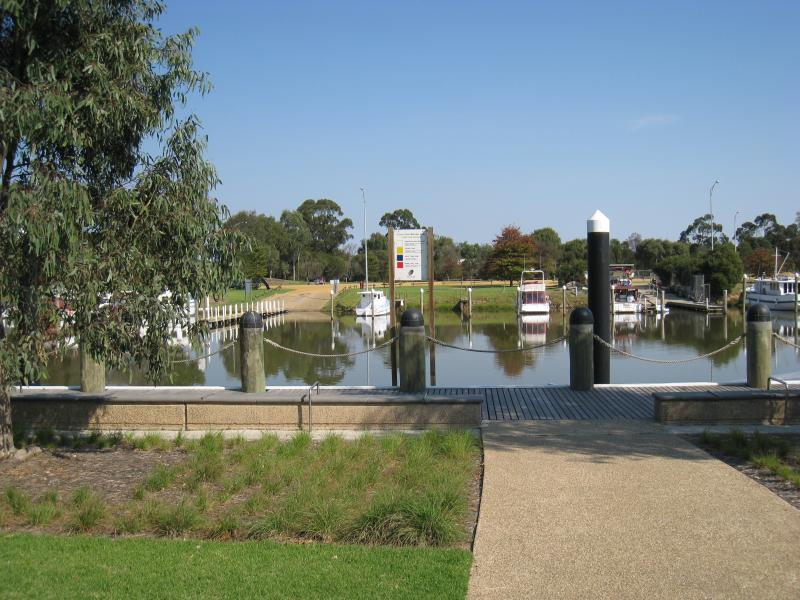
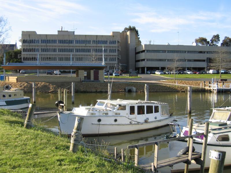
Port of Sale precinct, Canal Road and McMillan Street along Flooding Creek - View north across canal from southern bank towards Port of Sale Business Centre and Civic Centre
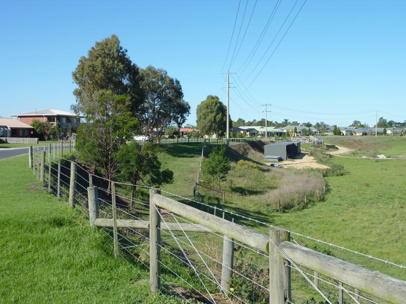
Stevens Street overlooking flood plain - View east along Stevens St near Yvette Cl
Stevens Street overlooking flood plain - Easterly view across flood plain from Stevens St near Yvette Cl
Stevens Street overlooking flood plain - South-easterly view over flood plain
Stevens Street overlooking flood plain - Southerly view over flood plain
Stevens Street overlooking flood plain - South-easterly view from Stevens St at Patten St
Stevens Street overlooking flood plain - Southerly view over flood plain from Stevens St at Patten St
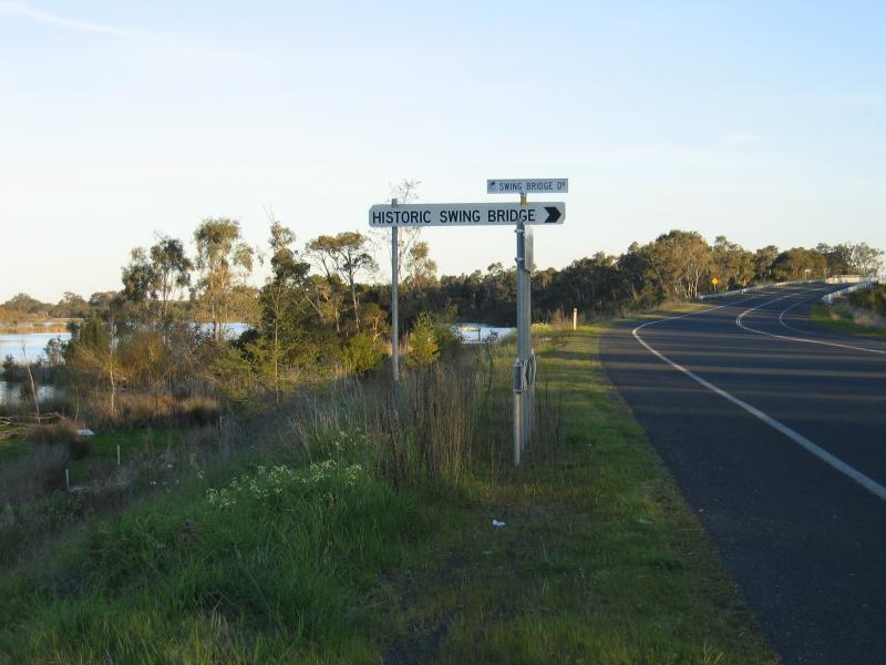
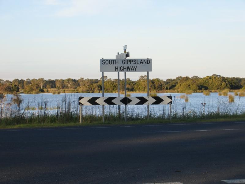
Historic Swing Bridge area, South Gippsland Highway south of Sale - Turn-off to Historic Swing Bridge, South Gippsland Highway
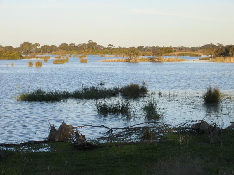
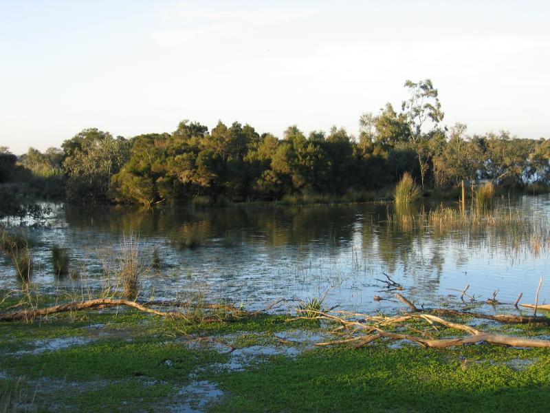
Historic Swing Bridge area, South Gippsland Highway south of Sale - View of wetlands at turn-off to swing bridge
Historic Swing Bridge area, South Gippsland Highway south of Sale - View of wetlands at turn-off to swing bridge
Historic Swing Bridge area, South Gippsland Highway south of Sale - View of wetlands at turn-off to swing bridge
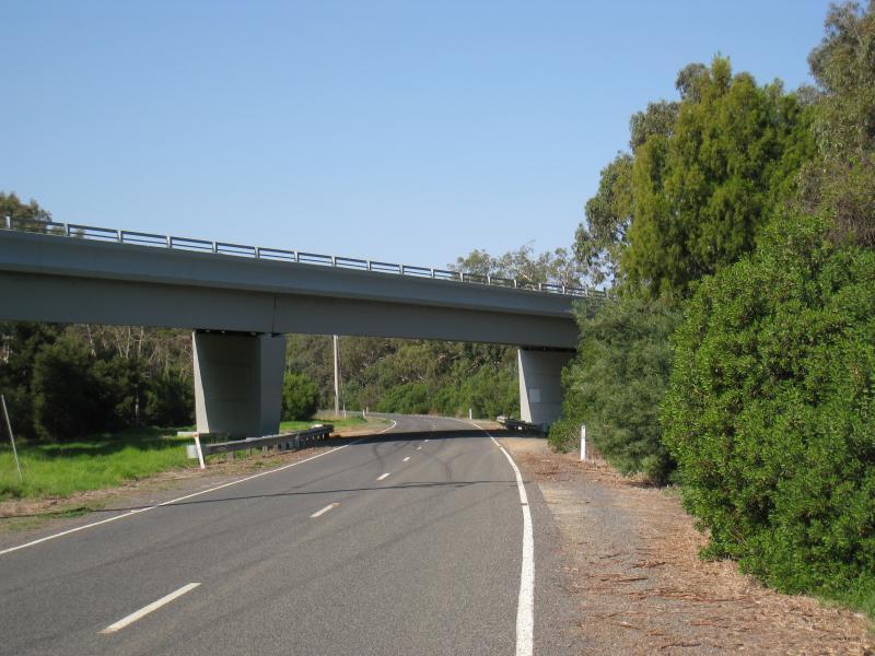
Historic Swing Bridge area, South Gippsland Highway south of Sale - Swing Bridge Drive passing under the South Gippsland Highway
Historic Swing Bridge area, South Gippsland Highway south of Sale - Sale Common State Game Refuge, near swing bridge
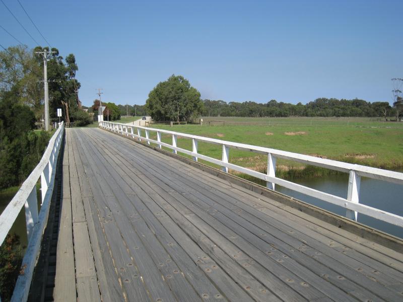
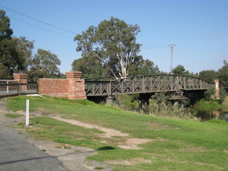
Historic Swing Bridge area, South Gippsland Highway south of Sale - Side view of swing bridge over La Trobe River
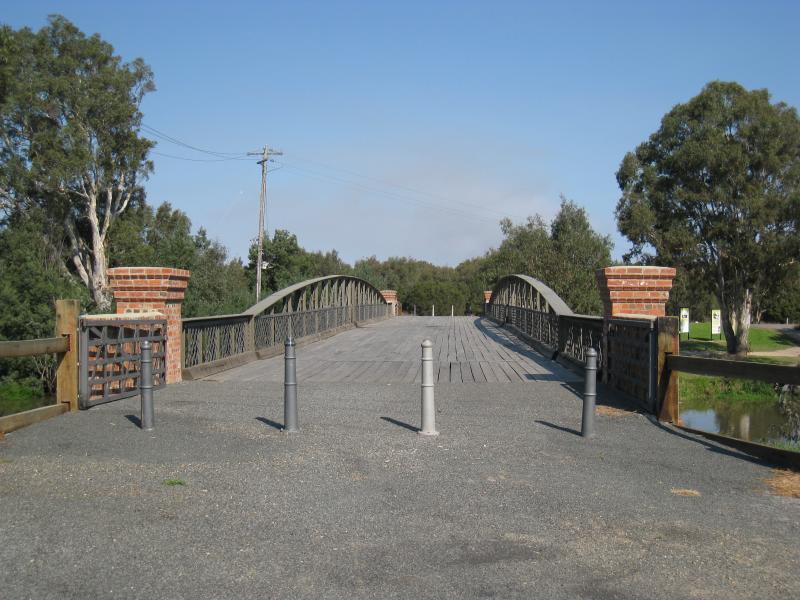
Historic Swing Bridge area, South Gippsland Highway south of Sale - View south across swing bridge
Historic Swing Bridge area, South Gippsland Highway south of Sale - View east along La Trobe River from swing bridge
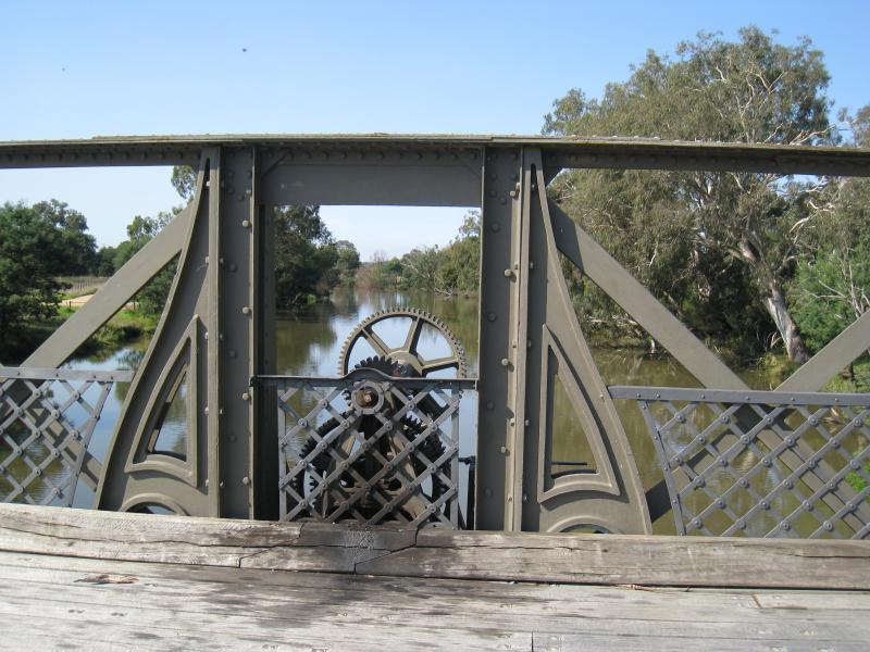
Historic Swing Bridge area, South Gippsland Highway south of Sale - Machinery on eastern side of swing bridge
Historic Swing Bridge area, South Gippsland Highway south of Sale - View towards parkland on southern bank of La Trobe River, western side of swing bridge
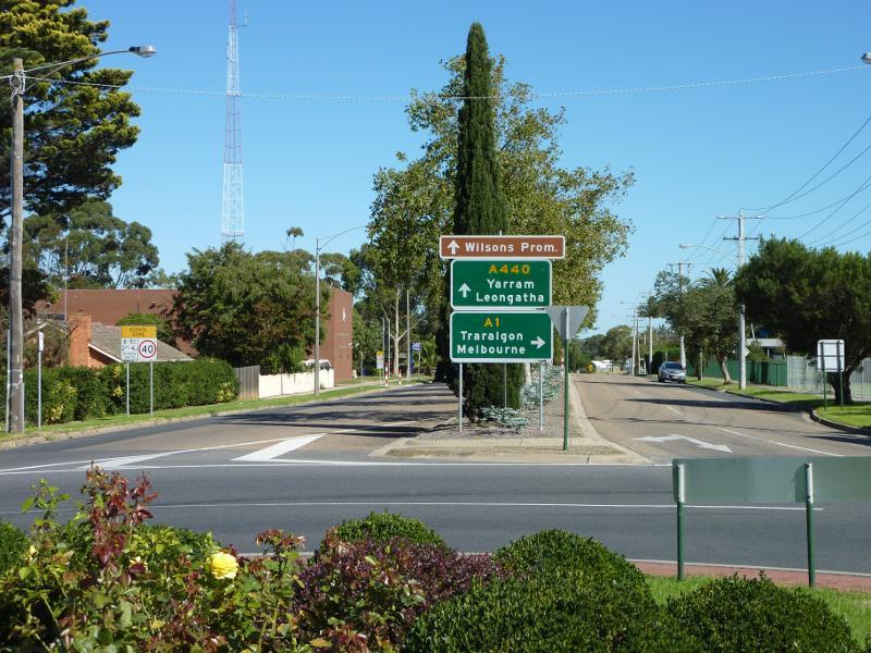
Town of Longford, south of Sale - View south along South Gippsland Hwy towards Loch Sport Rd
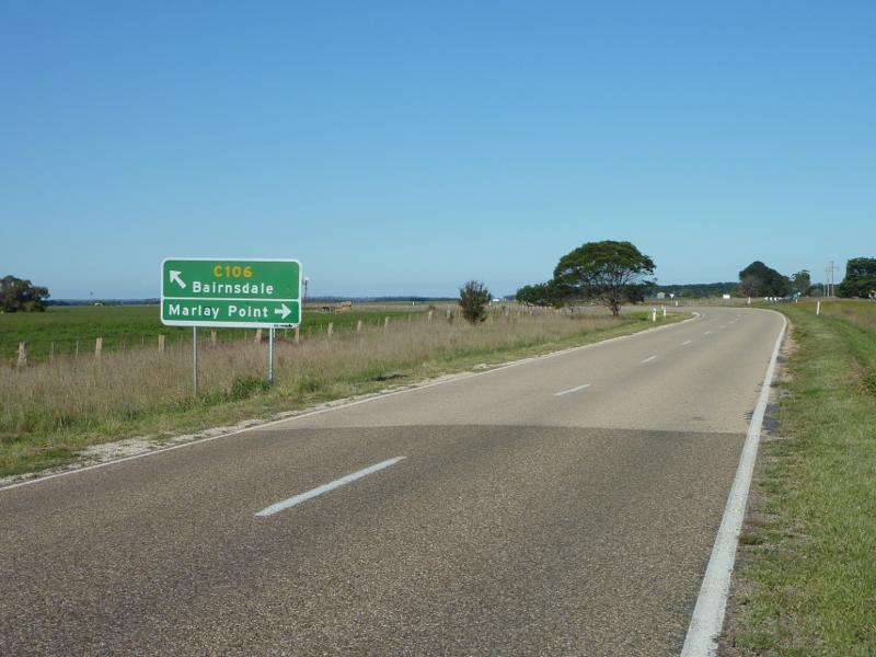
Bengworden Road, north-east of Sale - View east along Bengworden Rd towards Marlay Point Rd
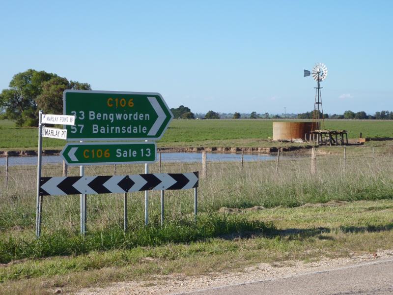
Bengworden Road, north-east of Sale - North-easterly view at junction of Bengworden Rd and Marlay Point Rd
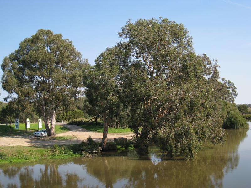
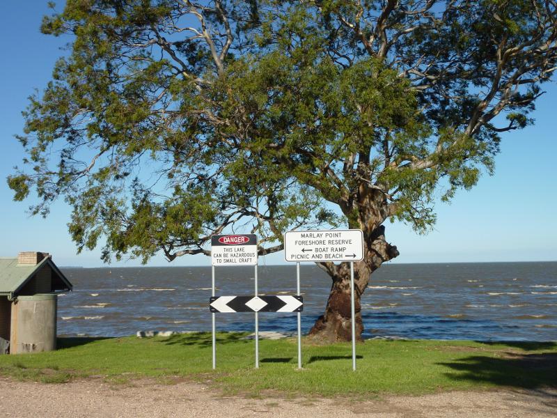
Marlay Point and foreshore reserve, Lake Wellington - View east towards Lake Wellington from Marlay Point Rd
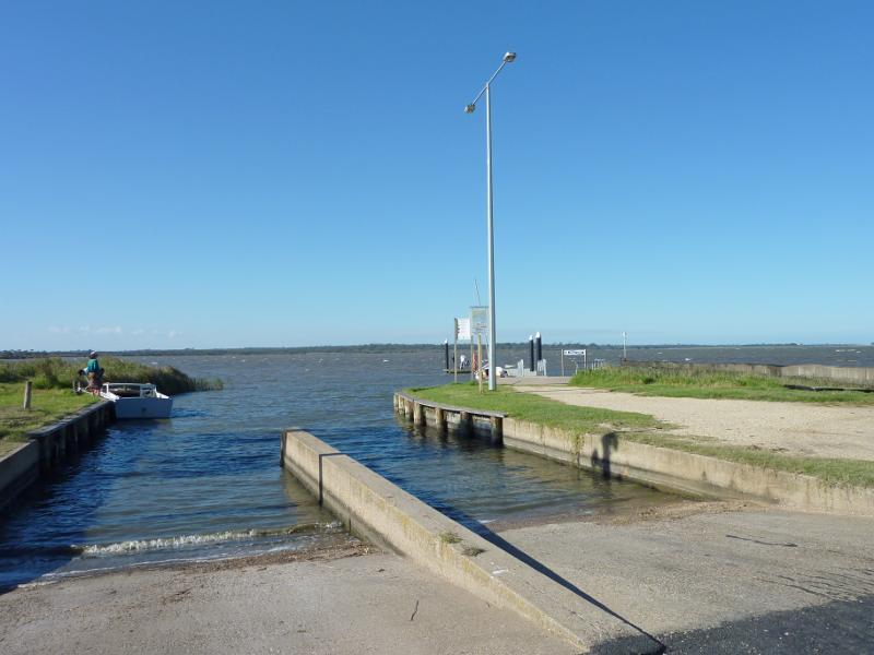
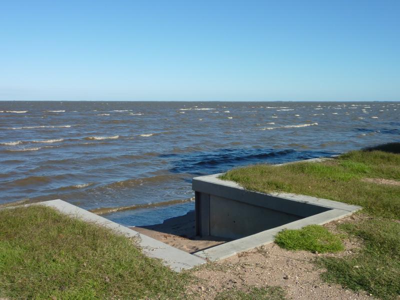
Marlay Point and foreshore reserve, Lake Wellington - Boat ramp
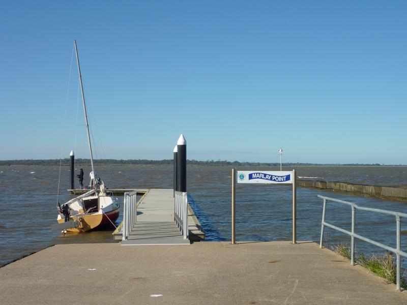
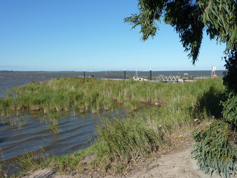
Marlay Point and foreshore reserve, Lake Wellington - View towards jetty at boat ramp
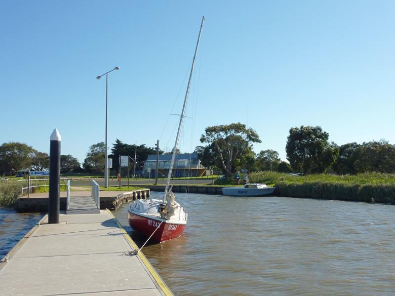
Marlay Point and foreshore reserve, Lake Wellington - View along jetty towards boat ramp and shore
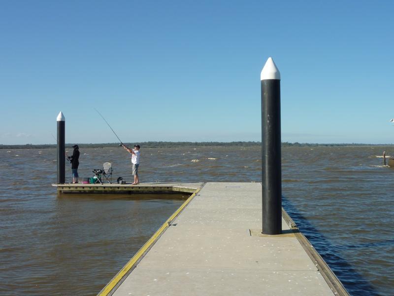
Marlay Point and foreshore reserve, Lake Wellington - View towards end of jetty
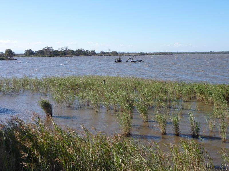
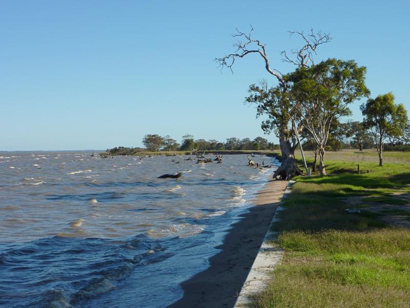
Marlay Point and foreshore reserve, Lake Wellington - Southerly view along lake from near boat ramp
Marlay Point and foreshore reserve, Lake Wellington - View south-west along shoreline from near boat ramp towards shelter
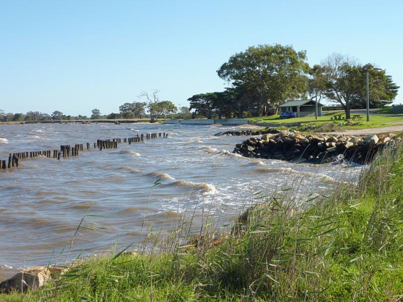
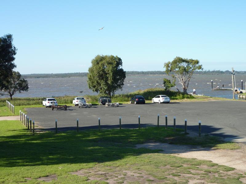
Marlay Point and foreshore reserve, Lake Wellington - View east towards boat ramp, north side of car park
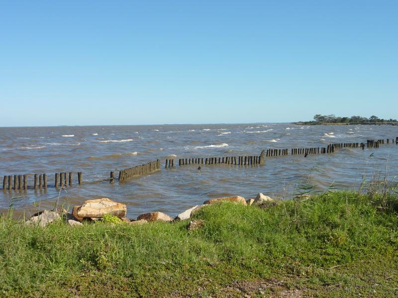
Marlay Point and foreshore reserve, Lake Wellington - Northerly view across lake, west of boat ramp
Marlay Point and foreshore reserve, Lake Wellington - North-westerly view, west of boat ramp
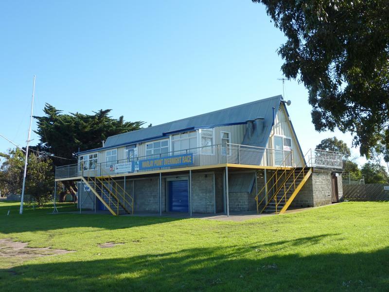
Marlay Point and foreshore reserve, Lake Wellington - Lake Wellington Yacht Club
Marlay Point and foreshore reserve, Lake Wellington - North-easterly view towards car park and boat ramp from yacht club
Marlay Point and foreshore reserve, Lake Wellington - South-easterly view across lake from yacht club
Marlay Point and foreshore reserve, Lake Wellington - South-westerly view along lake, south of boat ramp
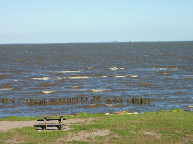
Marlay Point and foreshore reserve, Lake Wellington - View of lake from foreshore south of shelter
Marlay Point and foreshore reserve, Lake Wellington - View north-east along foreshore towards shelter
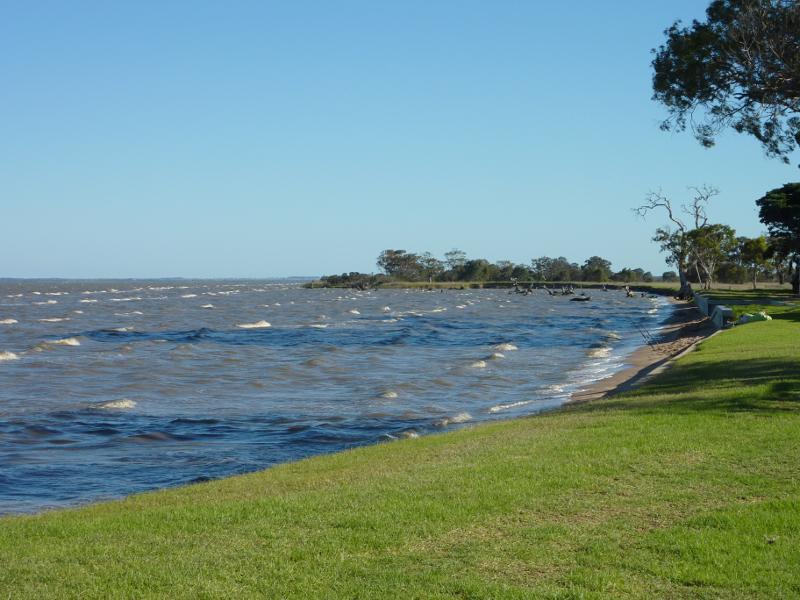
Marlay Point and foreshore reserve, Lake Wellington - View south-east along lake foreshore, south of shelter