Sandy Point - photos
Sandy Point
Stay
See and do
Food and drink
Shopping
Getting around
Visitor information
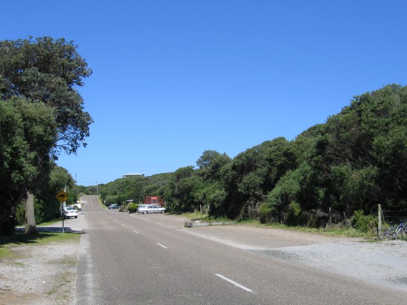 Town centre, Beach Parade - View east along Beach Pde between Park Av and Surfers Walk
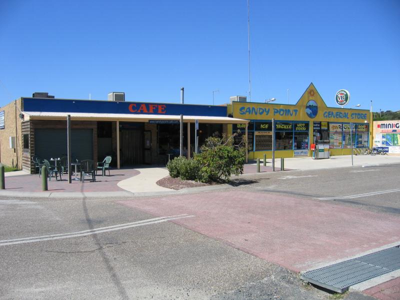 Town centre, Beach Parade - Cafe and General Store, corner Beach Pde and Surfers Walk
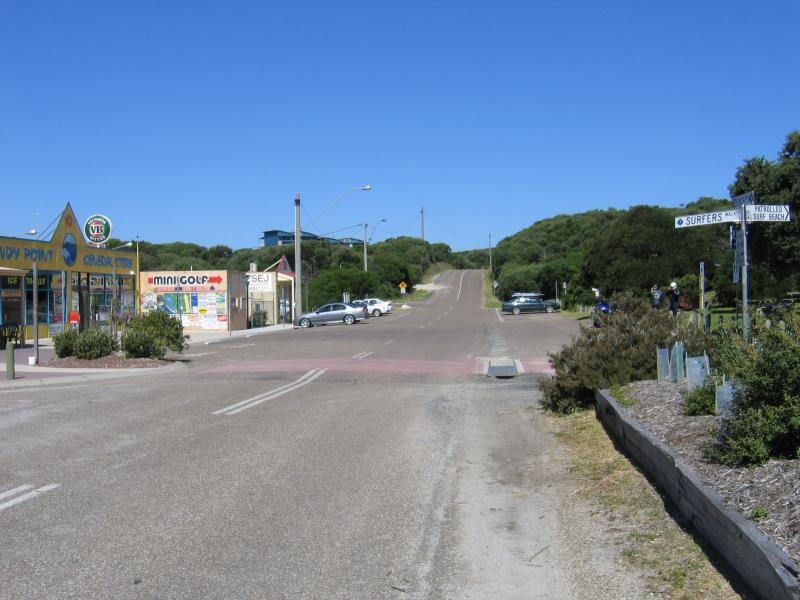 Town centre, Beach Parade - Shops, view east along Beach Pde at Surfers Walk
 Town centre, Beach Parade - View north towards Beach Pde at Surfers Walk
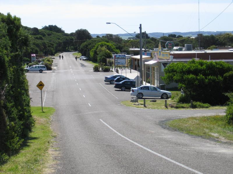 Town centre, Beach Parade - View west along Beach Pde towards Church Pde
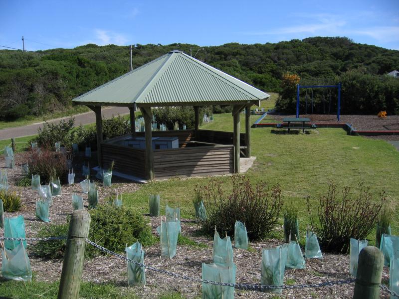 Town centre, Beach Parade - Park, playground and BBQ shelter, corner Church Pde and Ocean View Pde
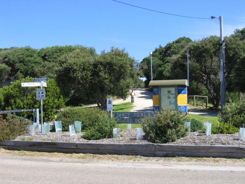 Foreshore Reserve and beach at Surfers Walk - View south along Surfers Walk at Beach Pde at entrance to Sandy Point Foreshore Reserve
 Foreshore Reserve and beach at Surfers Walk - View north along Surfers Walk towards Beach Pde
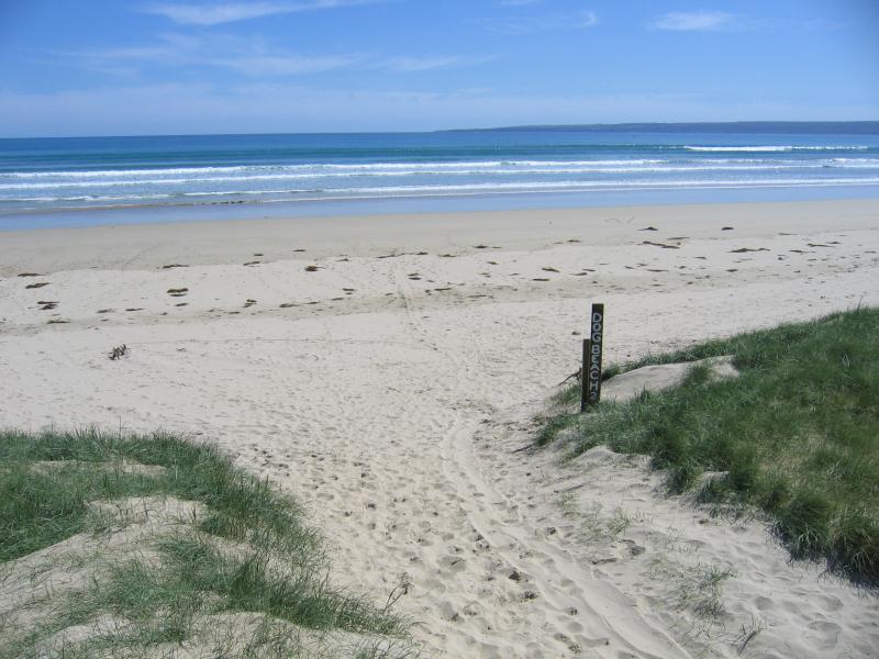
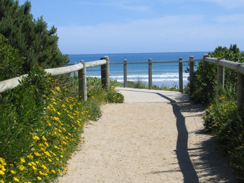 Foreshore Reserve and beach at Surfers Walk - View south along Surfers Walk towards beach
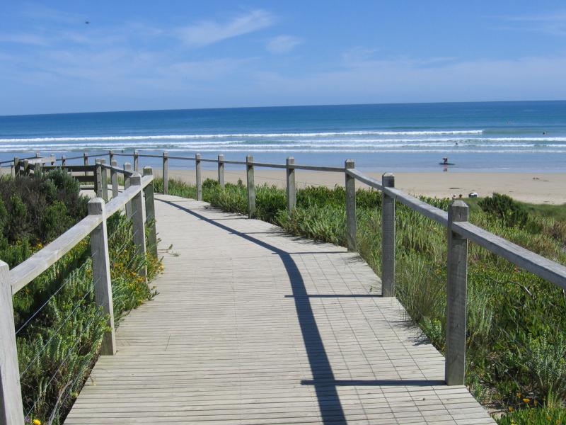 Foreshore Reserve and beach at Surfers Walk - View to beach from foreshore
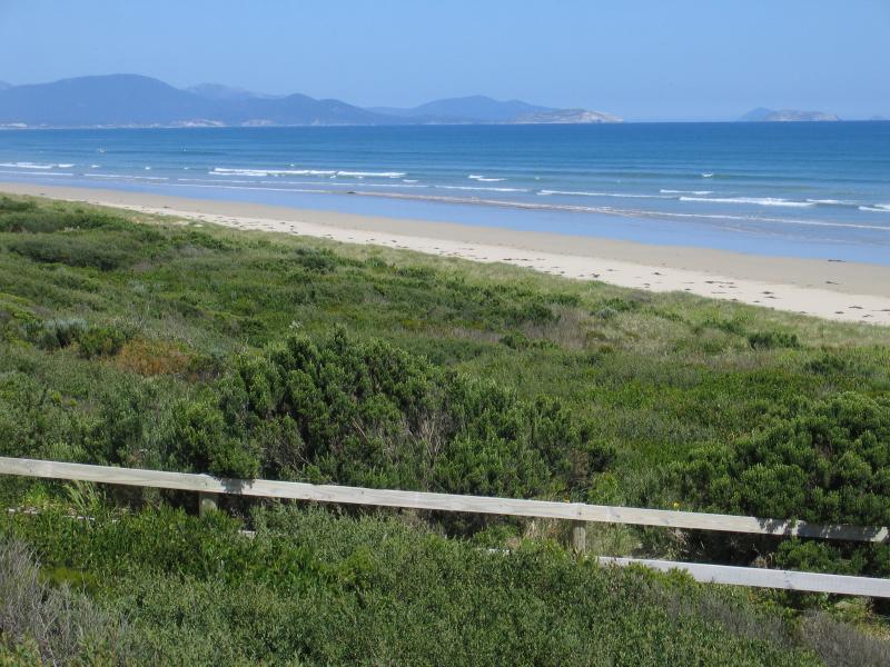
 Foreshore Reserve and beach at Surfers Walk - View south-east along coast
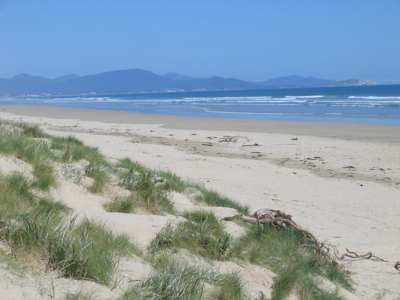
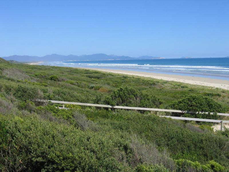
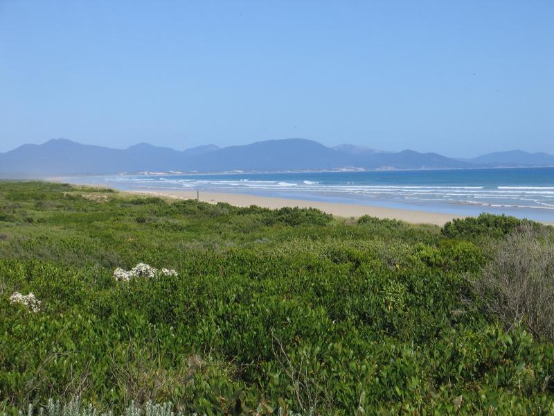 Foreshore Reserve and beach at Surfers Walk - View south-east along coast with mountains of Wilsons Promontory in background
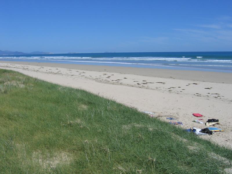
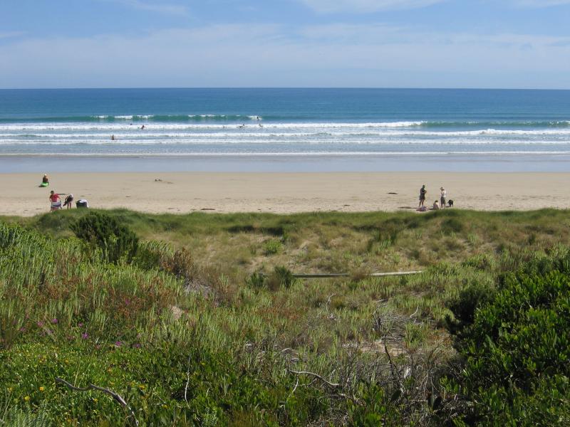 Foreshore Reserve and beach at Surfers Walk - People on the beach, viewed from foreshore
 Foreshore Reserve and beach at Surfers Walk - People on the beach, viewed from foreshore
 Foreshore Reserve and beach at Surfers Walk - Path from foreshore down to beach
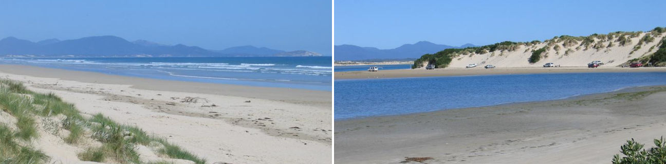
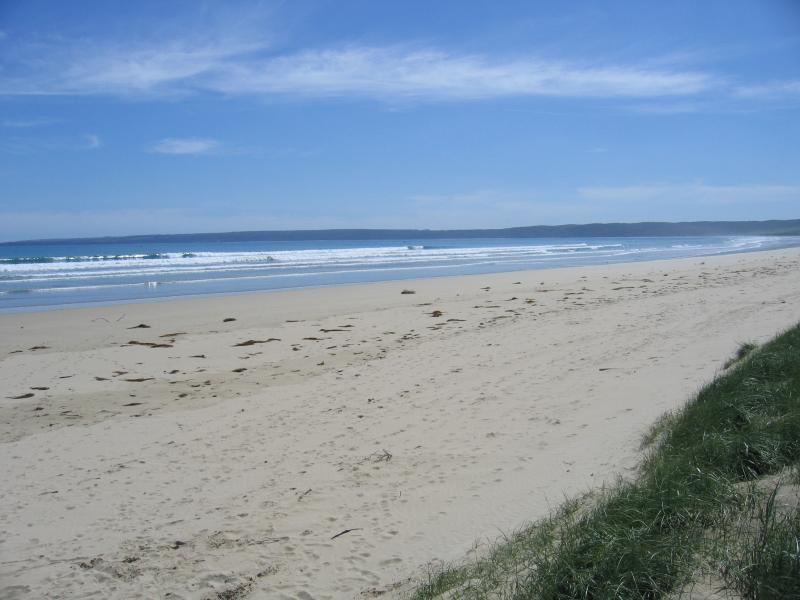
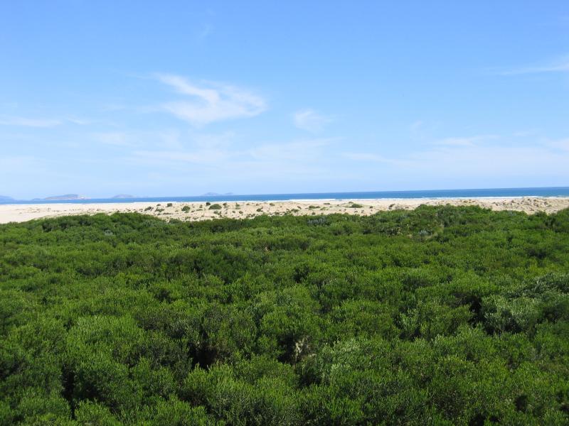
 Foreshore Reserve and beach at Surfers Walk - View south-east along beach towards Wilsons Promontory
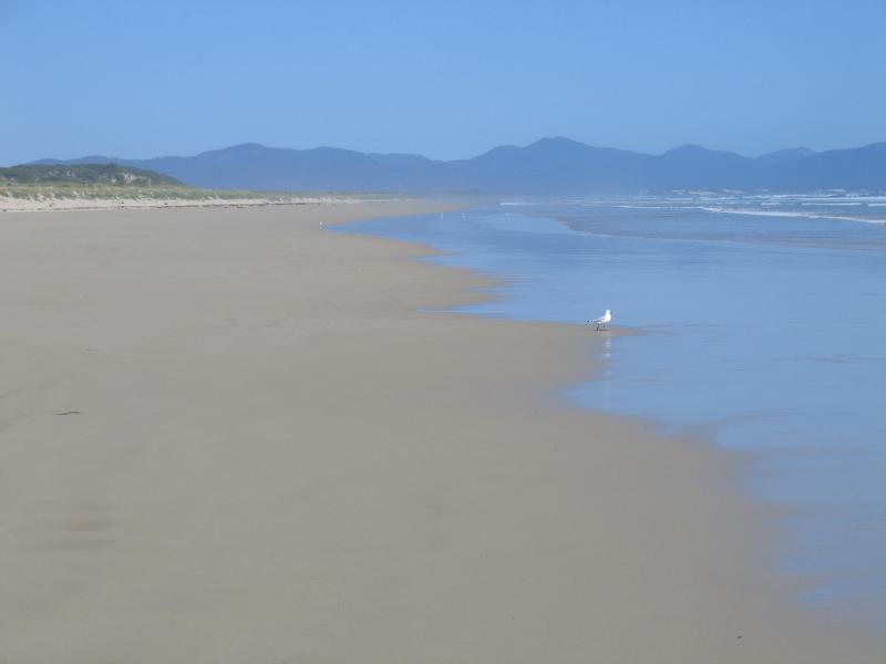 Foreshore Reserve and beach at Surfers Walk - View south-east along beach towards Wilsons Promontory
 Foreshore Reserve and beach at Surfers Walk - View north-west along beach
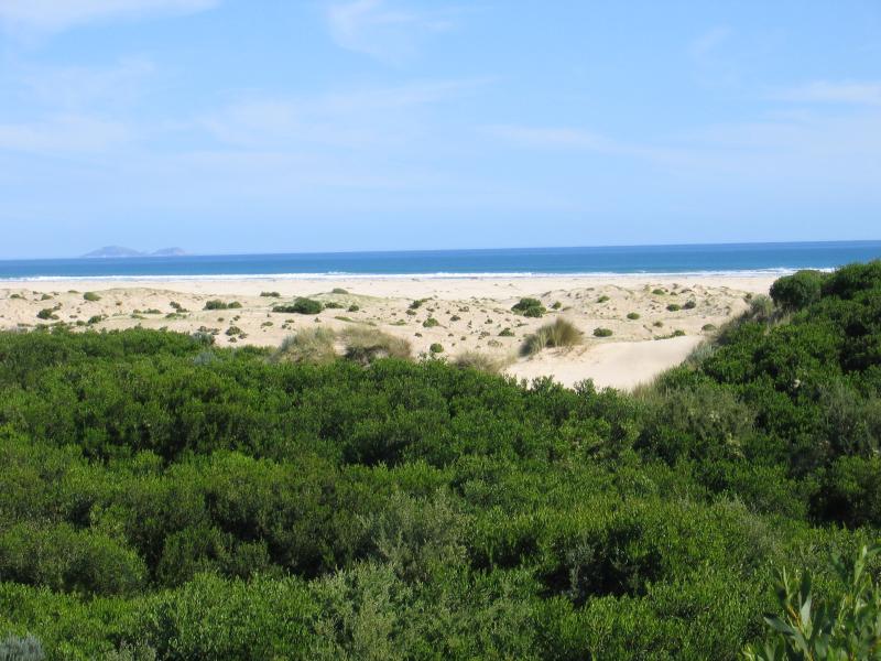
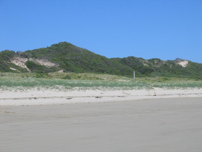 Foreshore Reserve and beach at Surfers Walk - View of sand dunes from beach
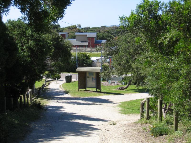
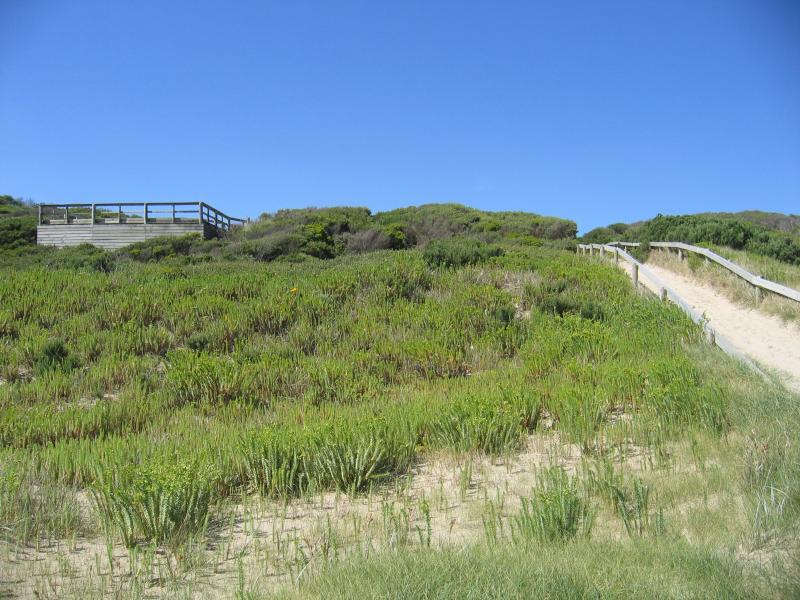
 Foreshore Reserve and beach at Surfers Walk - Path up to Surf Club from beach
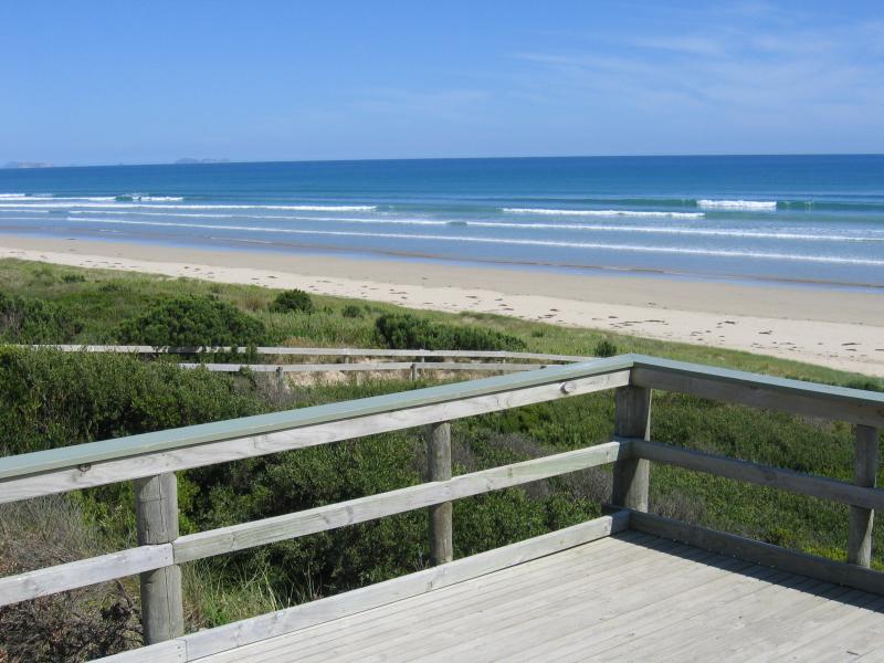
 Foreshore Reserve and beach at Surfers Walk - View east towards Surf Club from Surfers Walk
 Ned Neals Lookout and beach, western end of Beach Parade - View south-east towards Wilsons Promontory from lookout
 Ned Neals Lookout and beach, western end of Beach Parade - View south-east towards Wilsons Promontory from lookout
 Ned Neals Lookout and beach, western end of Beach Parade - View down to beach from lookout
 Ned Neals Lookout and beach, western end of Beach Parade - Path down to beach
 Ned Neals Lookout and beach, western end of Beach Parade - Path down to beach
 Ned Neals Lookout and beach, western end of Beach Parade - View from beach back towards lookout
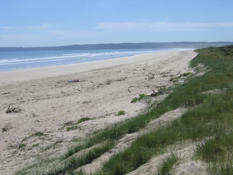
 Ned Neals Lookout and beach, western end of Beach Parade - View south-east along beach
 Ned Neals Lookout and beach, western end of Beach Parade - View south-east along beach
 Ned Neals Lookout and beach, western end of Beach Parade - View north-west along beach
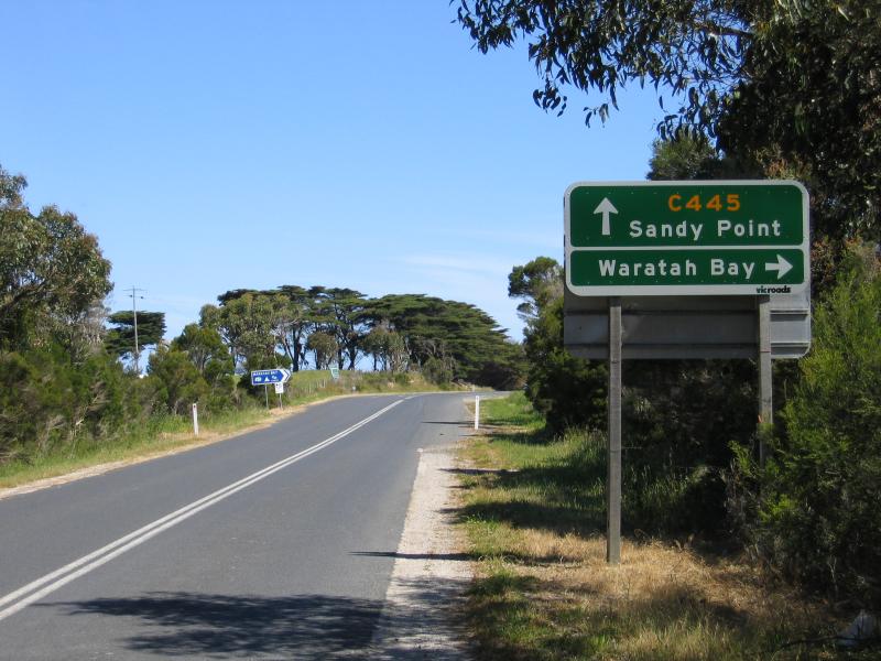 Outskirts of Sandy Point - View south along Waratah Rd towards Fish Creek Rd
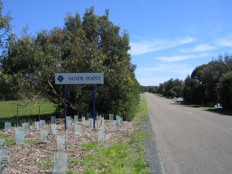 Outskirts of Sandy Point - Sandy Point town sign, view south along Telopia Dr at Waratah Rd
 Outskirts of Sandy Point - Sandy Point town directory, view south along Telopia Dr just south of Waratah Rd
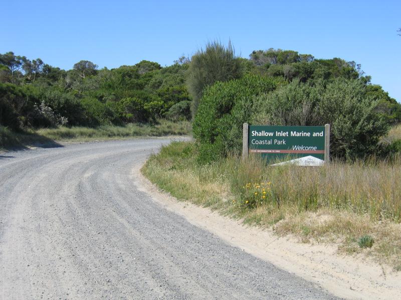 Shallow Inlet at eastern end of Sandy Point Road - View east along Sandy Point Rd towards entrance to Shallow Inlet Marine & Coastal Park
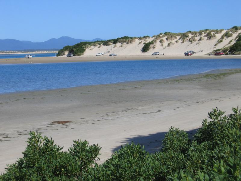
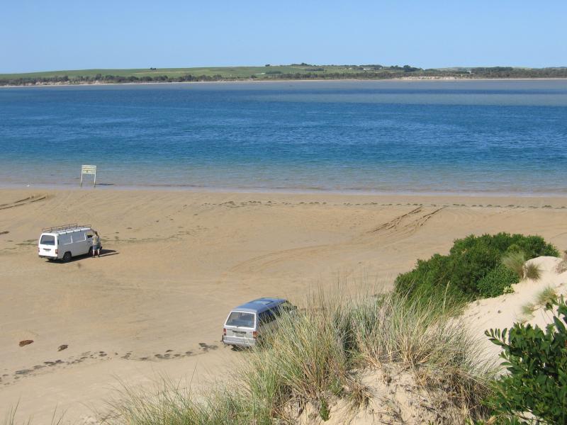
 Shallow Inlet at eastern end of Sandy Point Road - View south-east along coast where the road meets the beach
 Shallow Inlet at eastern end of Sandy Point Road - View south-east along coast where the road meets the beach
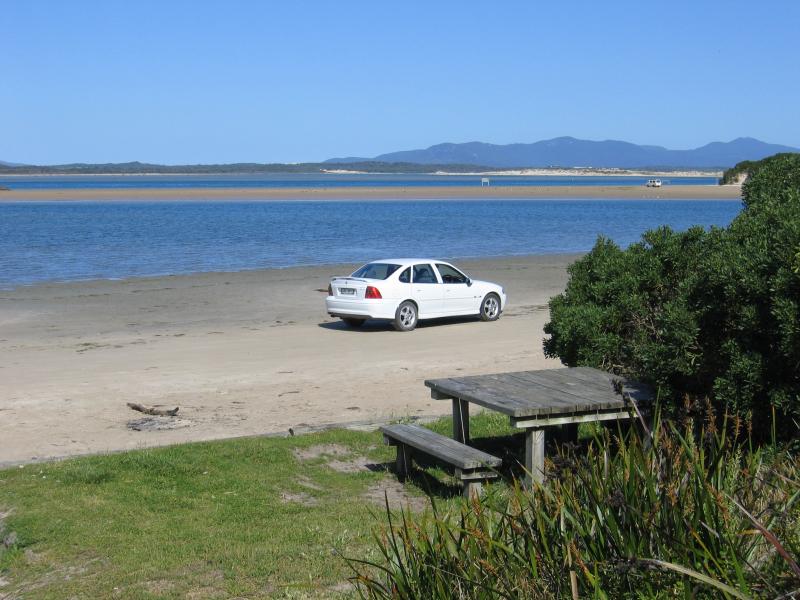
 Shallow Inlet at eastern end of Sandy Point Road - View east across Shallow Inlet from BBQ shelter on foreshore
 Shallow Inlet at eastern end of Sandy Point Road - View south-east from BBQ shelter on foreshore
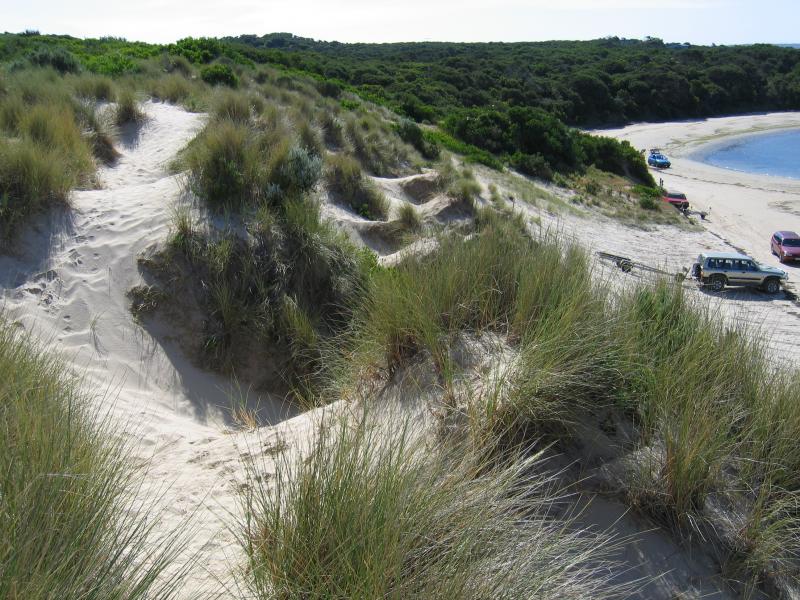
 Shallow Inlet at eastern end of Sandy Point Road - View south-east from BBQ shelter on foreshore towards sand dunes
 Shallow Inlet at eastern end of Sandy Point Road - View from sand dunes, north-west along coast
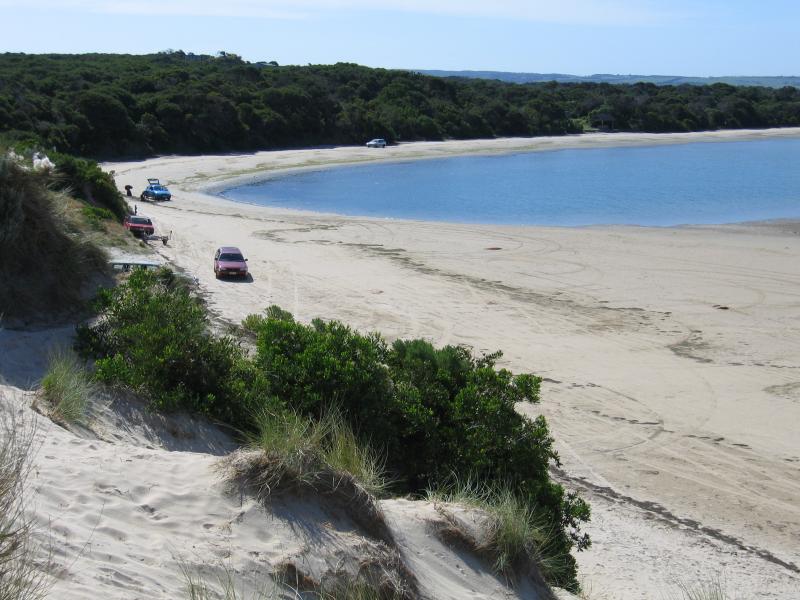 Shallow Inlet at eastern end of Sandy Point Road - View from sand dunes, north-west along coast
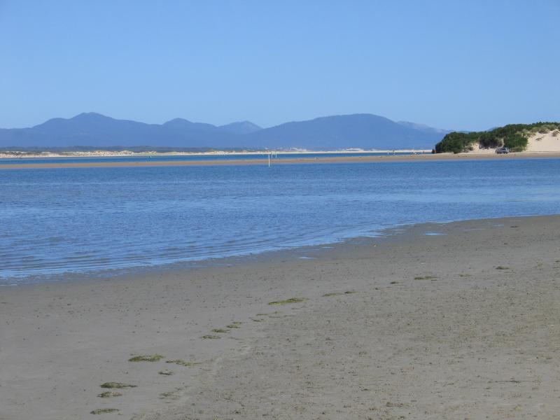
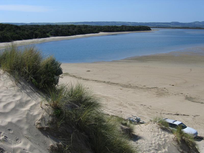 Shallow Inlet at eastern end of Sandy Point Road - View from sand dunes, north along Shallow Inlet
 Shallow Inlet at eastern end of Sandy Point Road - View from sand dunes, north along Shallow Inlet
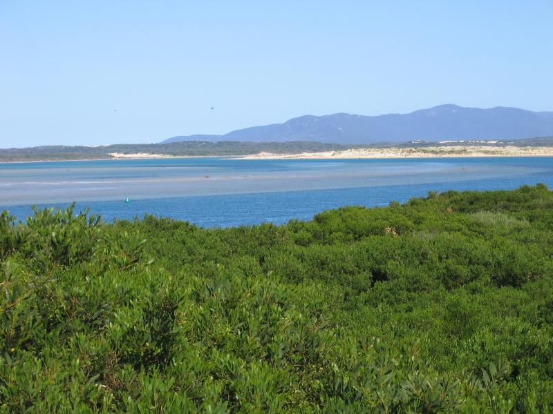
 Shallow Inlet at eastern end of Sandy Point Road - View from sand dunes, north-east across Shallow Inlet
 Shallow Inlet at eastern end of Sandy Point Road - View from sand dunes, east across Shallow Inlet
 Shallow Inlet at eastern end of Sandy Point Road - View from sand dunes, east across Shallow Inlet
 Shallow Inlet at eastern end of Sandy Point Road - View from sand dunes, south-east along Shallow Inlet
 Shallow Inlet at eastern end of Sandy Point Road - View from sand dunes, south-east along Shallow Inlet
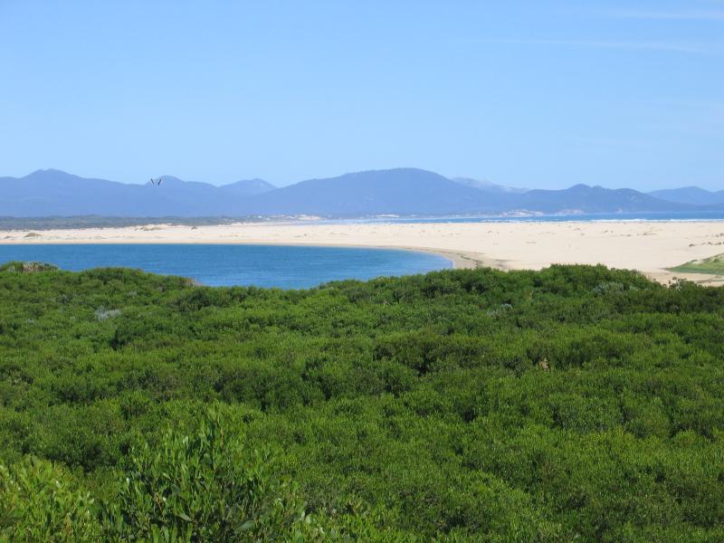
 Shallow Inlet at eastern end of Sandy Point Road - View from sand dunes, south towards islands off coast of Wilsons Promontory
 Shallow Inlet at eastern end of Sandy Point Road - View from sand dunes, south towards islands off coast of Wilsons Promontory