San Remo - photos
San Remo
Stay
See and do
Food and drink
Shopping
Getting around
Visitor information
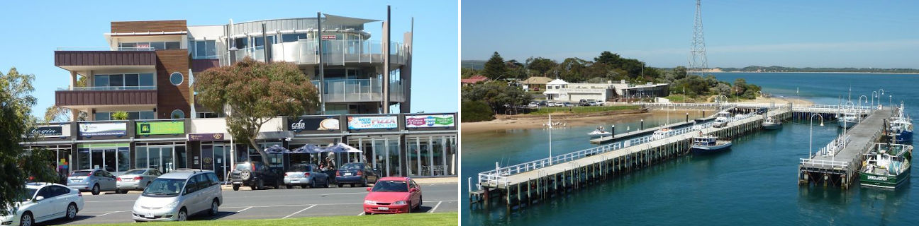
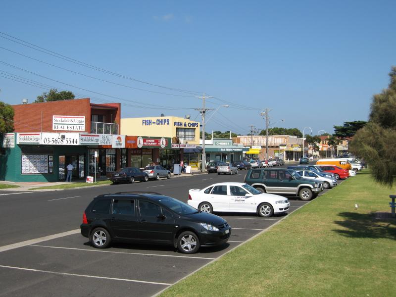
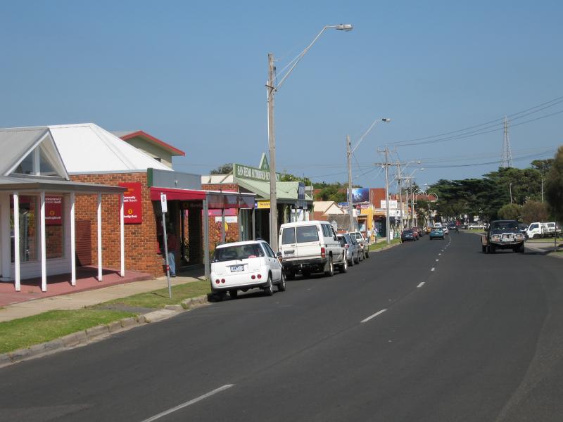 Shops and commercial centre, Marine Parade - View west along Marine Pde between Back Beach Rd and Wynne Rd
 Shops and commercial centre, Marine Parade - View west along Marine Pde between Wynne Rd and Edgars Rd
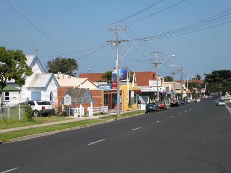
 Shops and commercial centre, Marine Parade - St Augustine Anglican Church, Marine Pde near Wynne Rd
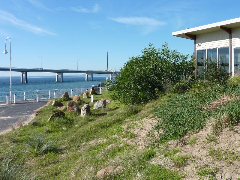
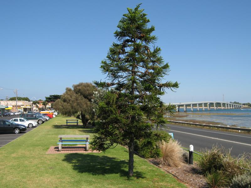 Shops and commercial centre, Marine Parade - View west through gardens between Marine Pde and Phillip Island Rd towards bridge
 Shops and commercial centre, Marine Parade - View west along Marine Pde at Edgar Rd
 Shops and commercial centre, Marine Parade - Shops at corner of Marine Pde and Bergin Gv
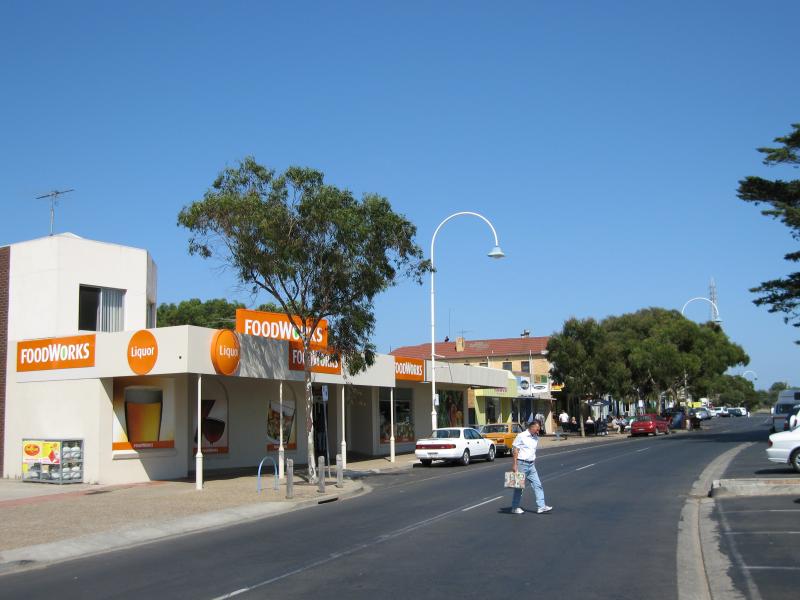 Shops and commercial centre, Marine Parade - Supermarket, view west along Marine Pde west of Bergin Gv
 Shops and commercial centre, Marine Parade - Shops along Marine Pde west of Bergin Av
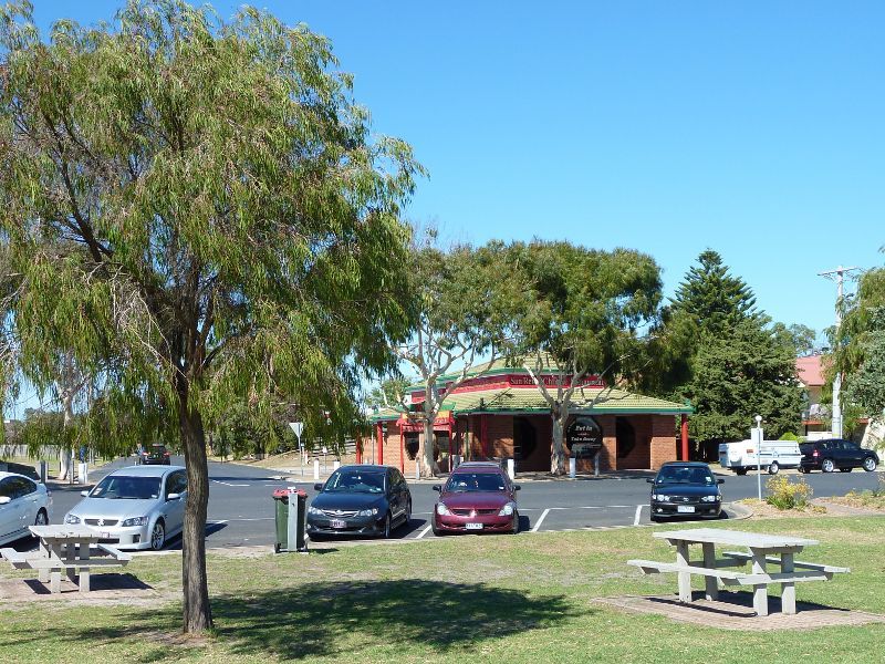
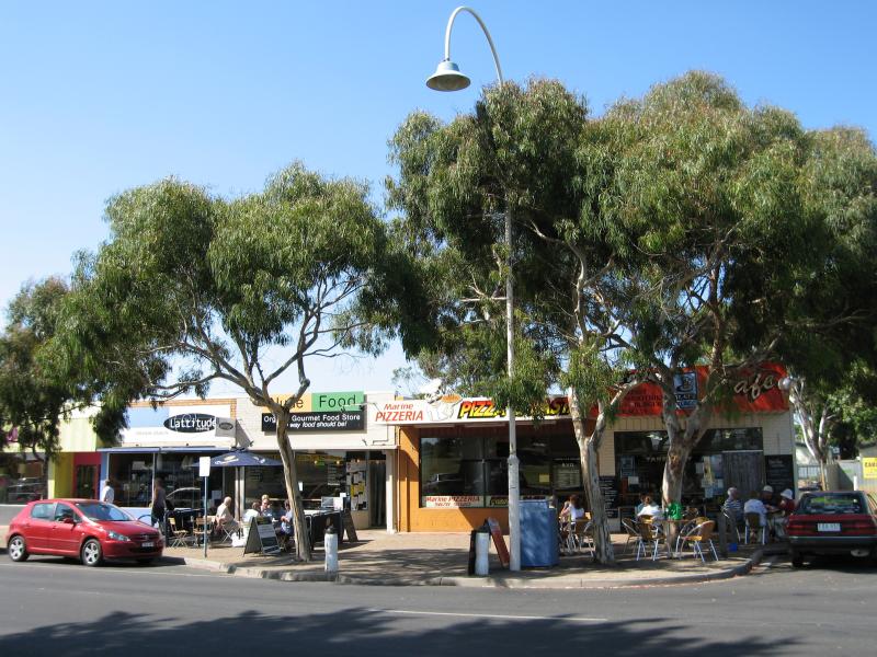 Shops and commercial centre, Marine Parade - Cafes and restaurants, Marine Pde west of Bergin Gv
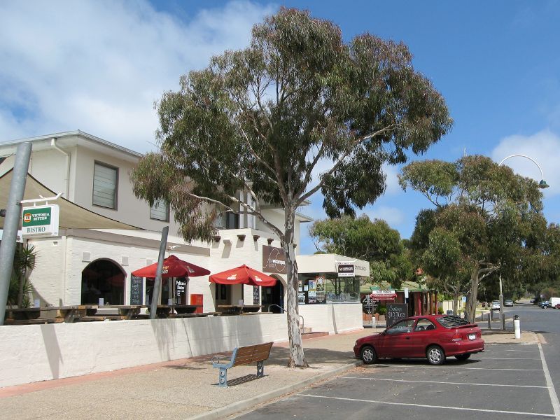
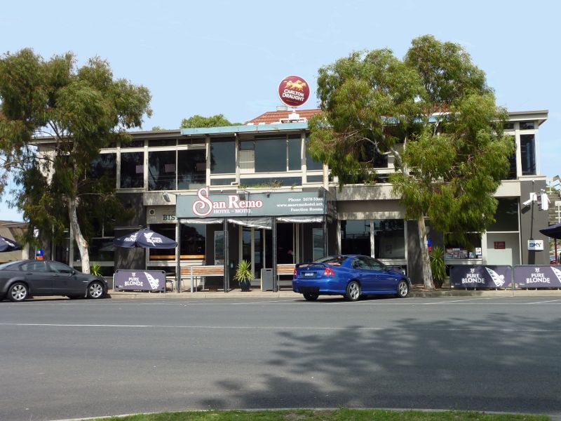 Shops and commercial centre, Marine Parade - San Remo Hotel
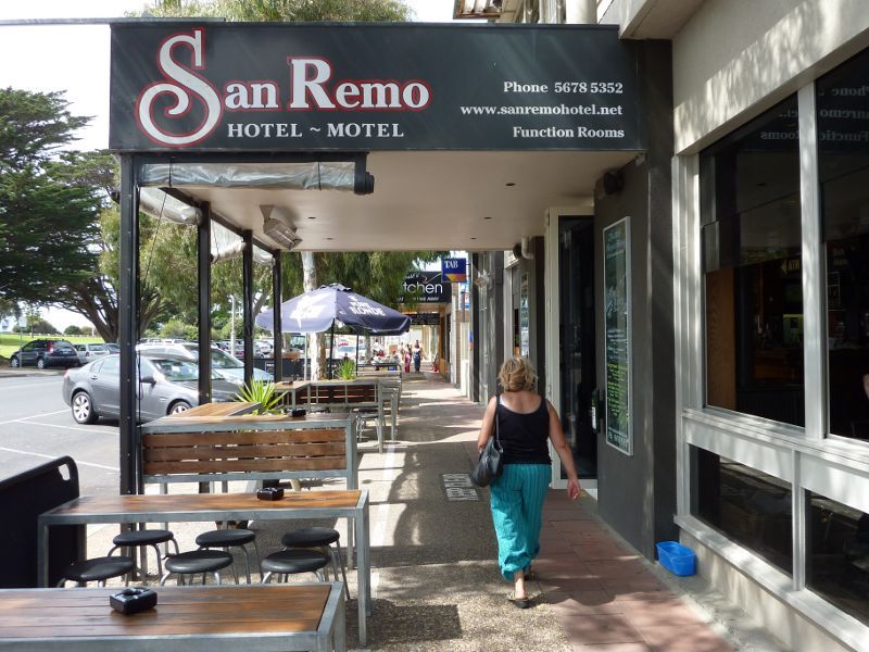 Shops and commercial centre, Marine Parade - Outdoor seating at San Remo Hotel
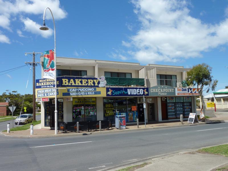
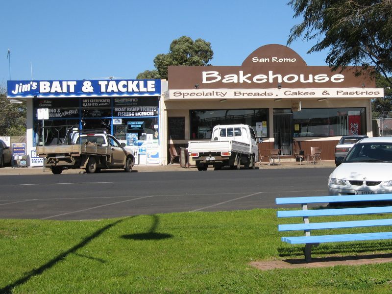 Shops and commercial centre, Marine Parade - View south across Marine Pde towards San Remo Bakehouse
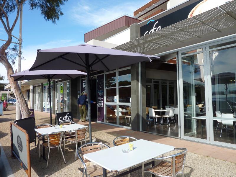 Shops and commercial centre, Marine Parade - Shops under apartments next to bakery
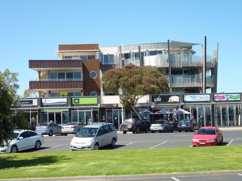 Shops and commercial centre, Marine Parade - Apartments and shops, Marine Pde between bakery and Westernport Hotel
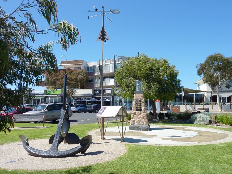 Shops and commercial centre, Marine Parade - Fishermen memorial, Marine Pde opposite Westernport Hotel
 Shops and commercial centre, Marine Parade - View west along Marine Pde at Westernport Hotel
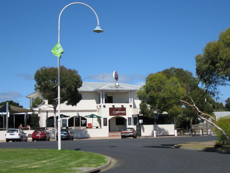 Shops and commercial centre, Marine Parade - View south across Marine Pde towards Westernport Hotel
 Shops and commercial centre, Marine Parade - View south across Marine Pde at Woolamai Gv
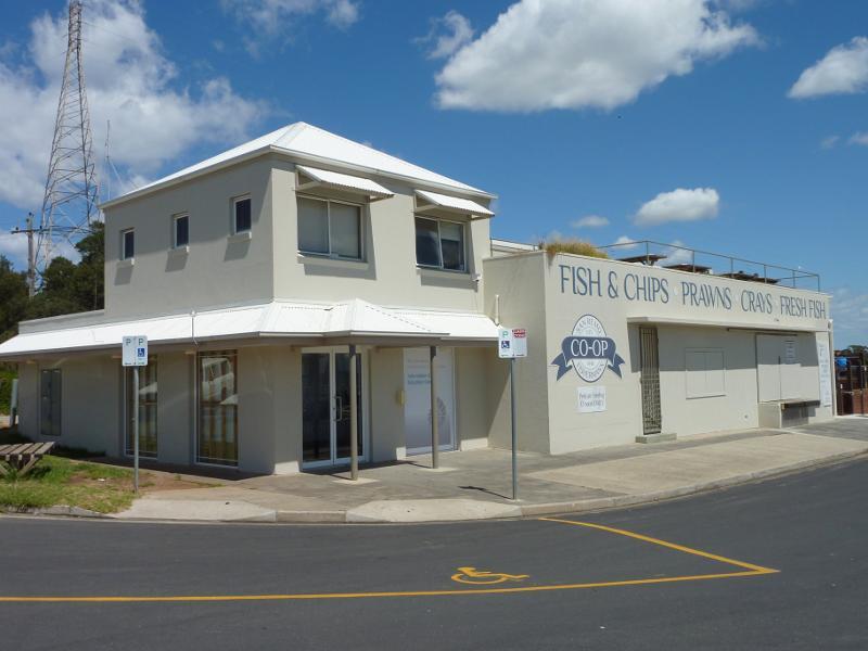 Shops and commercial centre, Marine Parade - Fishermans Co-Op, Marine Pde west of Woolamai Gv
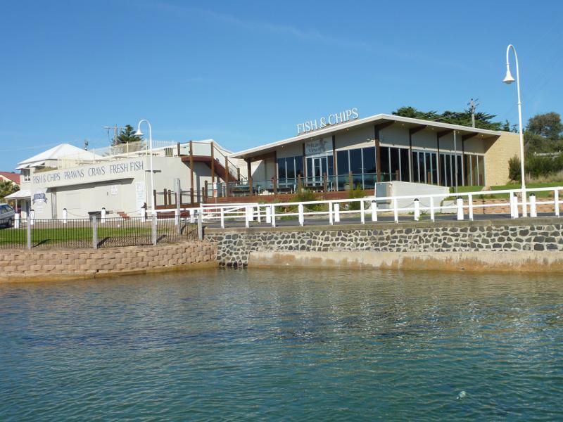
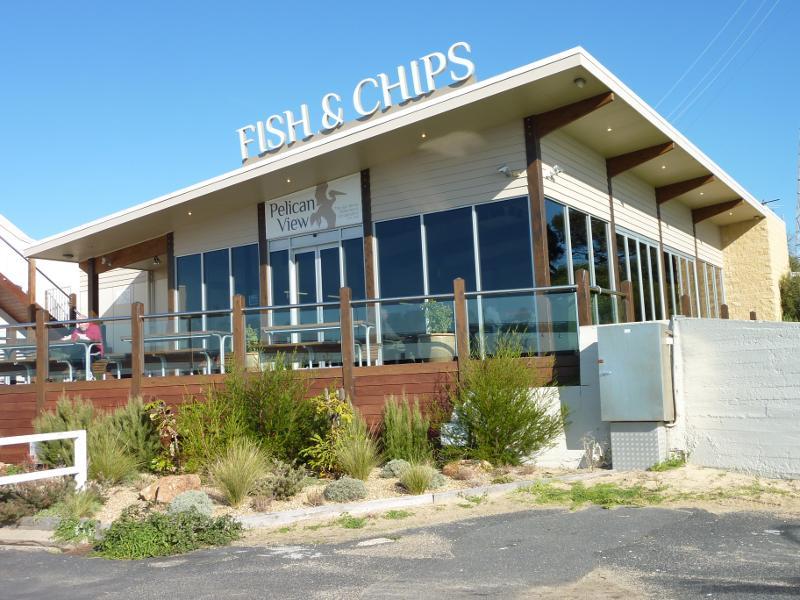 Shops and commercial centre, Marine Parade - Pelican View fish & chips shop at Fishermans Co-Op near entrance to jetty
 Foreshore along Marine Parade - View east along foreshore from jetty
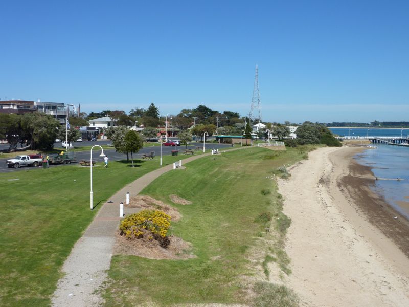
 Foreshore along Marine Parade - View west along foreshore towards jetty
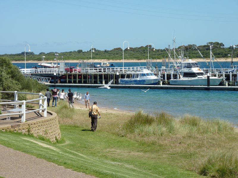
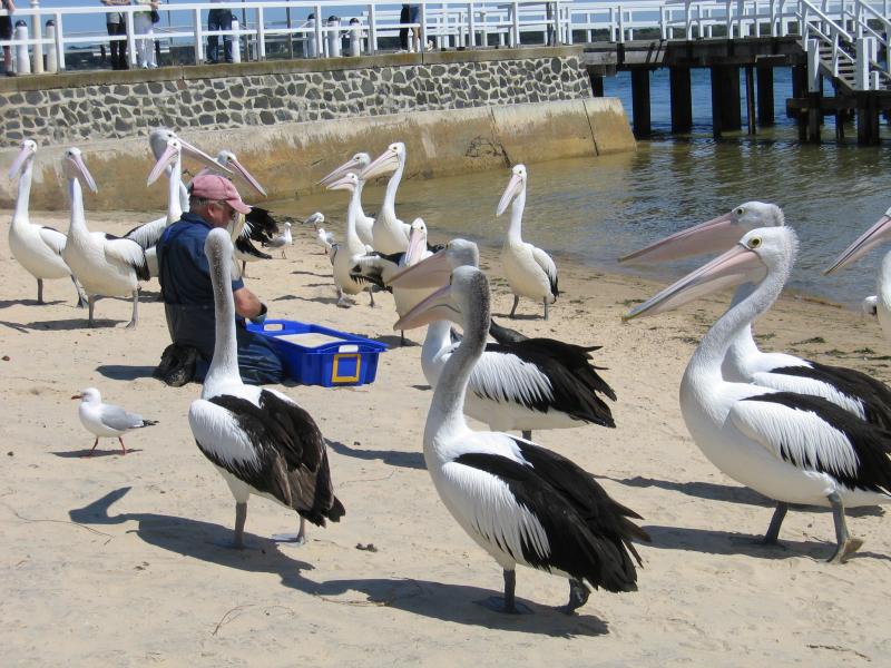 Foreshore along Marine Parade - Feeding of the pelicans on beach near jetty
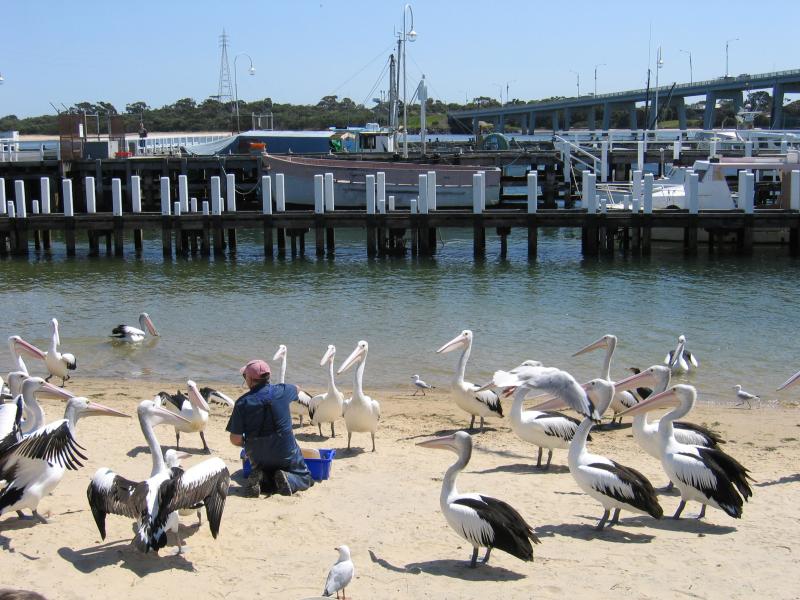 Foreshore along Marine Parade - Feeding of the pelicans on beach near jetty
 Foreshore along Marine Parade - View east along beach and foreshore
 Foreshore along Marine Parade - View north-east across beach towards jetty and beach from Fishermans Co-Op
 Foreshore along Marine Parade - BBQ shelter and gardens
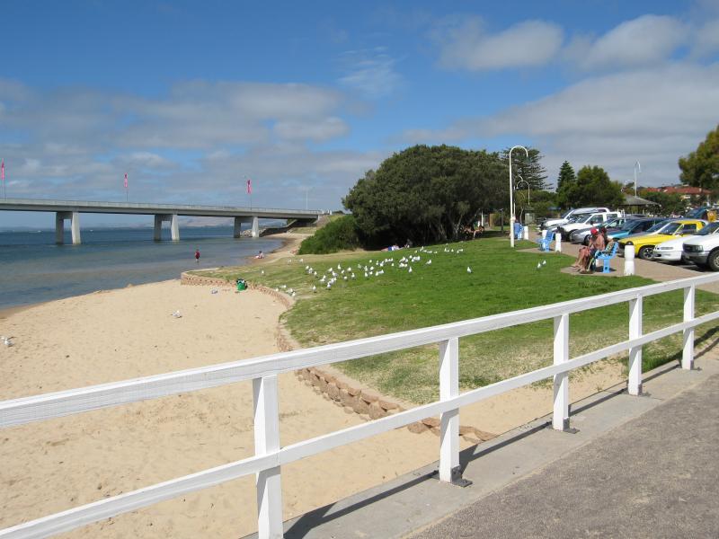
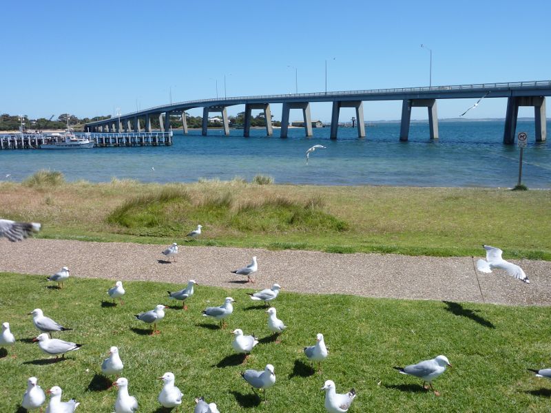
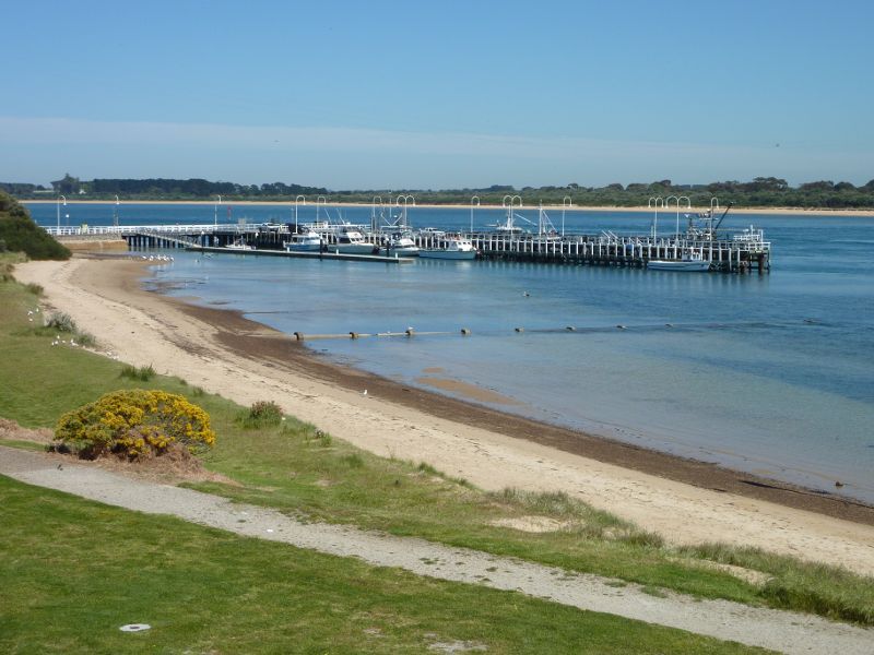
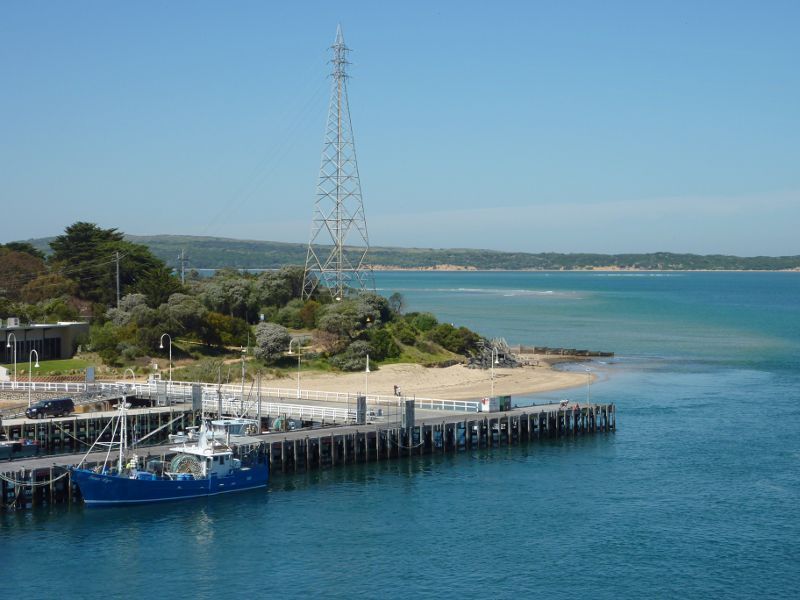
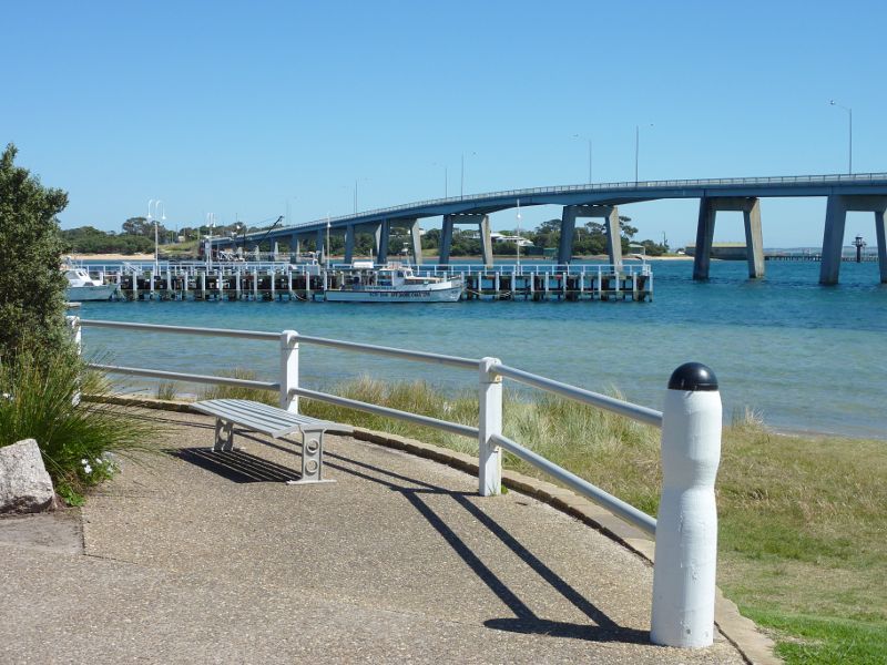 Foreshore along Marine Parade - View north towards jetty and bridge
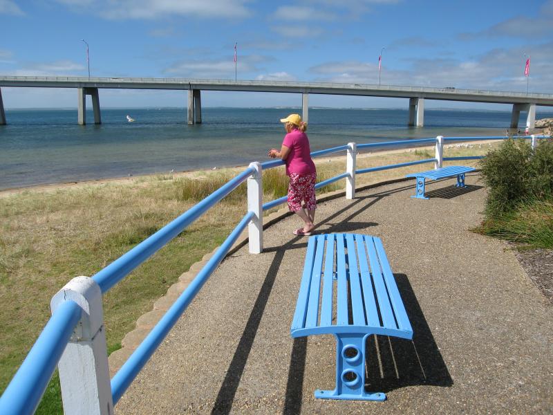 Foreshore along Marine Parade - View towards beach and bridge
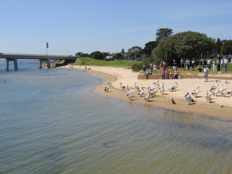
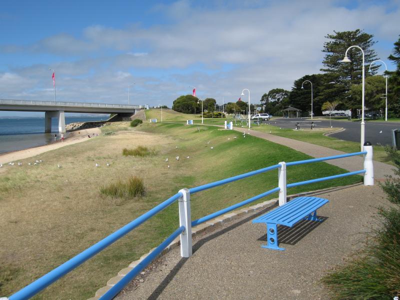 Foreshore along Marine Parade - View west along foreshore and beach towards bridge
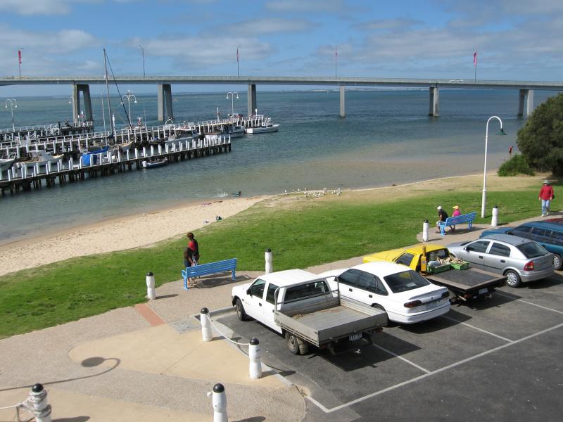
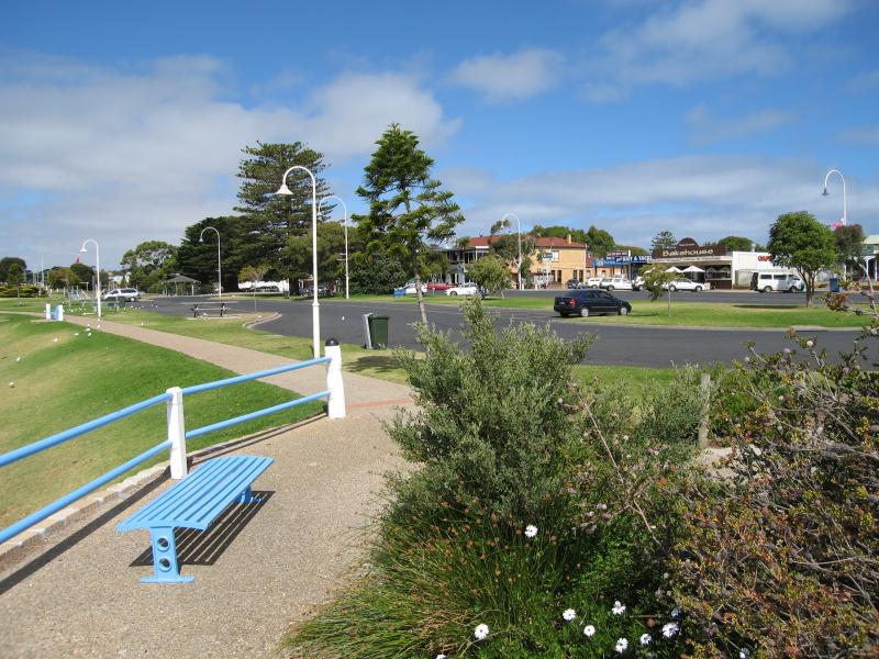 Foreshore along Marine Parade - View east along foreshore and car park along Marine Pde
 Foreshore along Marine Parade - View across foreshore towards jetty
 Foreshore along Marine Parade - View north across foreshore towards bridge
 Foreshore along Marine Parade - Beach near bridge
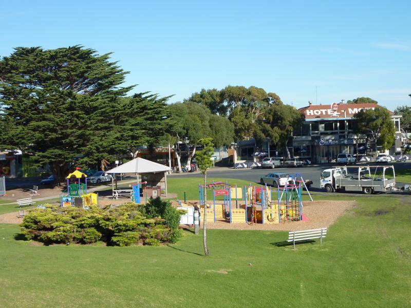 Foreshore along Marine Parade - Playground and BBQ shelter
 Foreshore along Marine Parade - View west along foreshore and beach from near bridge
 Foreshore along Marine Parade - View west along foreshore and beach towards jetty from near bridge
 Views from Phillip Island Bridge, Phillip Island Road - Entrance to bridge
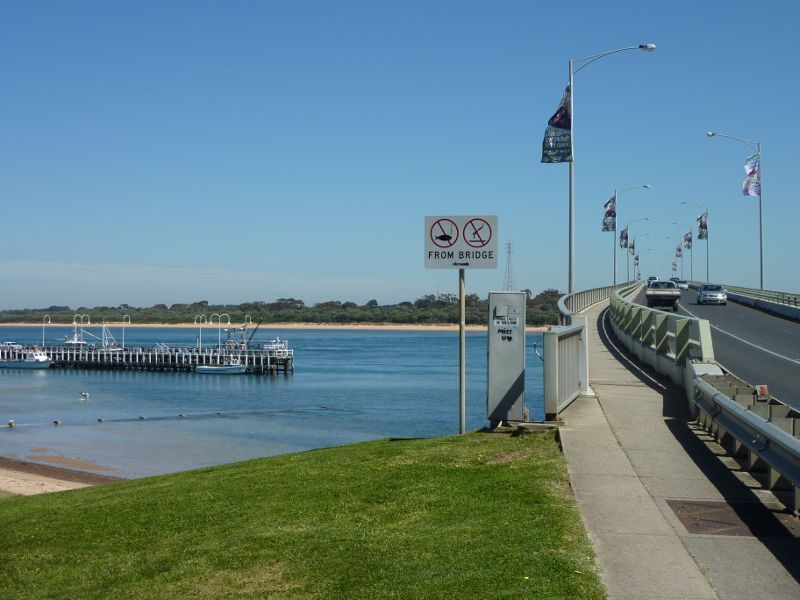
 Views from Phillip Island Bridge, Phillip Island Road - View north-west along bridge towards San Remo Jetty
 Views from Phillip Island Bridge, Phillip Island Road - View east along coast at San Remo
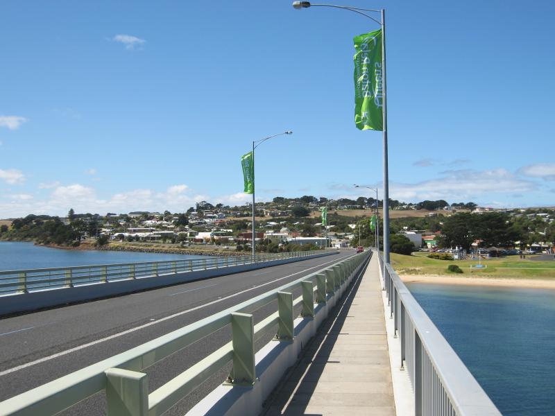 Views from Phillip Island Bridge, Phillip Island Road - View south-east along bridge towards San Remo
 Views from Phillip Island Bridge, Phillip Island Road - View south-east along bridge towards San Remo
 Views from Phillip Island Bridge, Phillip Island Road - Westerly view towards jetty
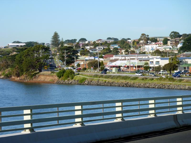
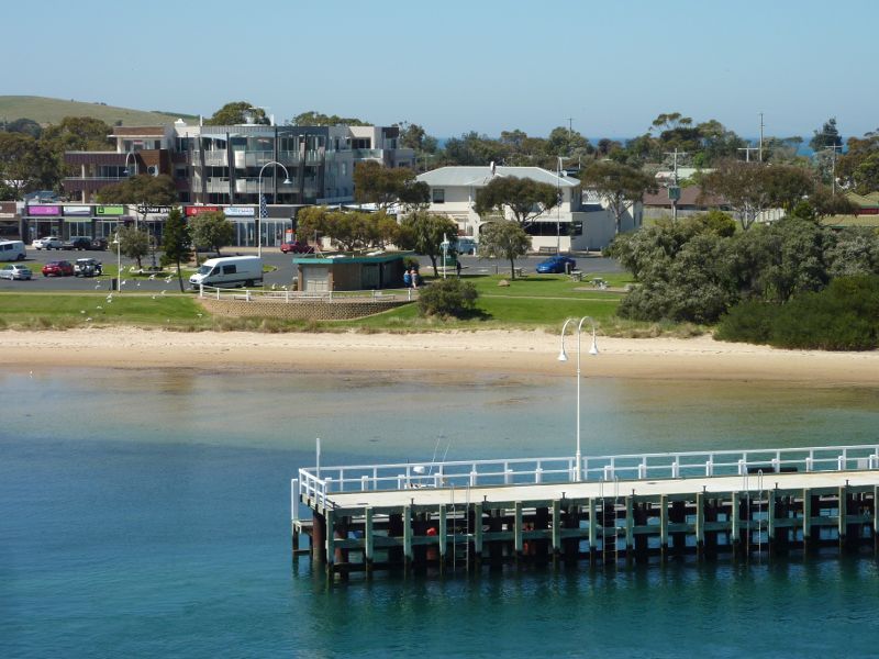
 Views from Phillip Island Bridge, Phillip Island Road - View south across beach towards shops on Marine Pde
 Views from Phillip Island Bridge, Phillip Island Road - View across foreshore towards Marine Pde and Westernport Hotel
 Views from Phillip Island Bridge, Phillip Island Road - View across jetty towards foreshore and Marine Pde
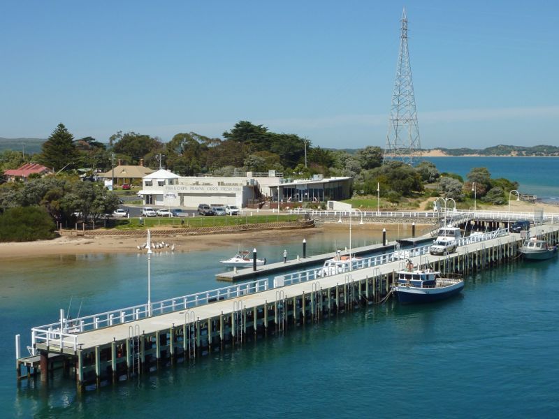 Views from Phillip Island Bridge, Phillip Island Road - View over jetty towards Fishermans Co-Op
 Views from Phillip Island Bridge, Phillip Island Road - View along jetty towards Davis Point
 Views from Phillip Island Bridge, Phillip Island Road - View along northern end of jetty towards beach at Cape Woolamai
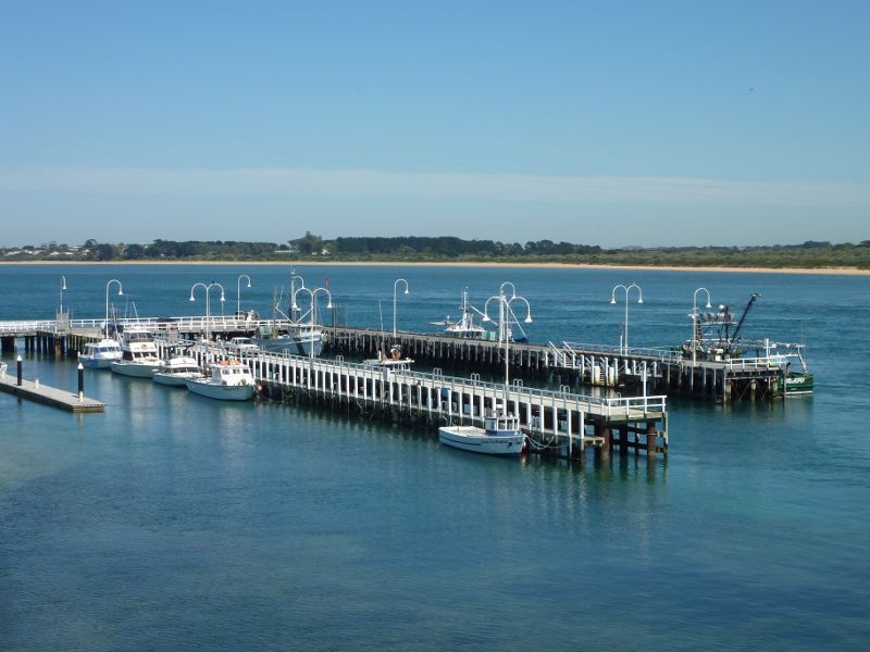
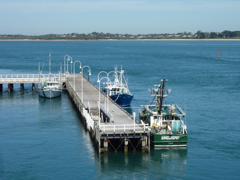
 Views from Phillip Island Bridge, Phillip Island Road - South-westerly view across jetty towards Davis Point and Cape Woolamai
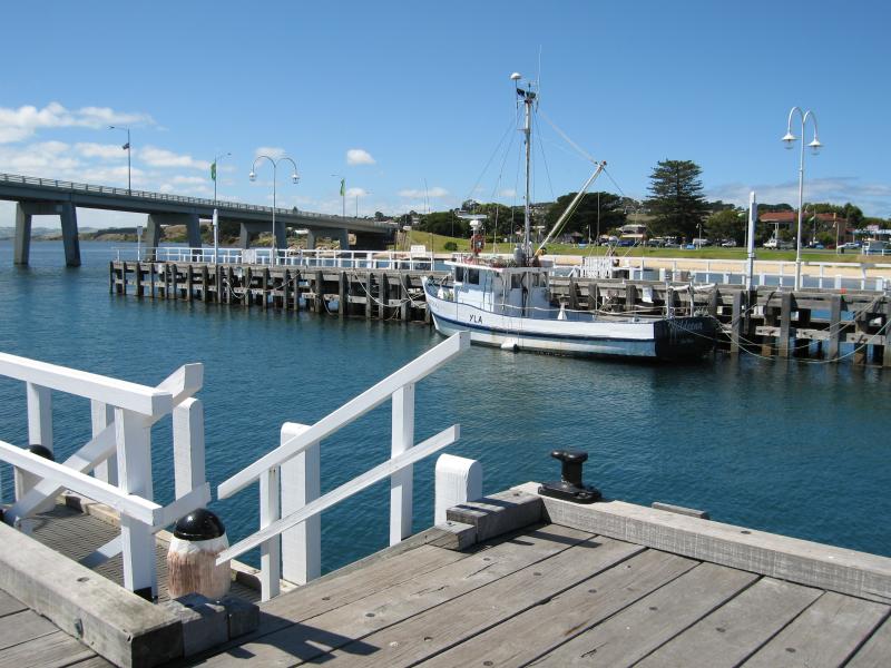
 San Remo Jetty - View towards entrance of jetty
 San Remo Jetty - View north towards jetty from Fishermans Co-Op
 San Remo Jetty - Entrance to jetty
 San Remo Jetty - View west along beach at entrance to jetty
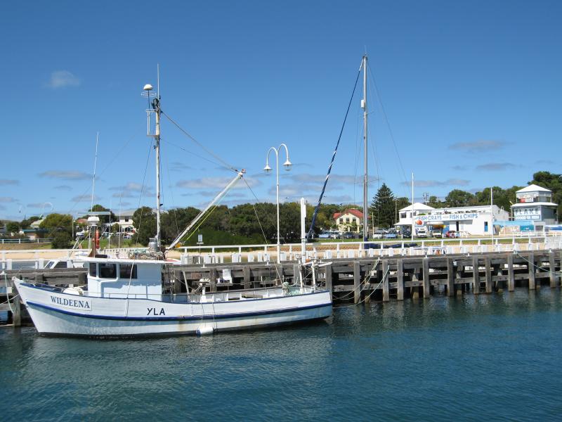
 San Remo Jetty - View towards Fishermans Co-Op and fish & chips shop from jetty
 San Remo Jetty - Easterly view across jetty towards bridge and foreshore
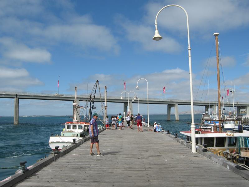
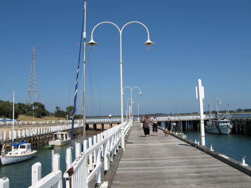 San Remo Jetty - View south-west along jetty
 San Remo Jetty - View south-west along jetty
 San Remo Jetty - View south-west along jetty
 San Remo Jetty - View south across jetty towards foreshore
 San Remo Jetty - View south-east across jetty towards foreshore and bridge
 San Remo Jetty - View north-east along jetty towards bridge
 Davis Point at western end of Marine Parade - View west towards Davis Point from jetty
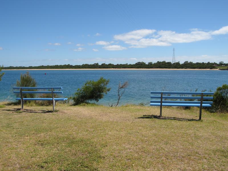
 Davis Point at western end of Marine Parade - View north along The Narrows and towards bridge
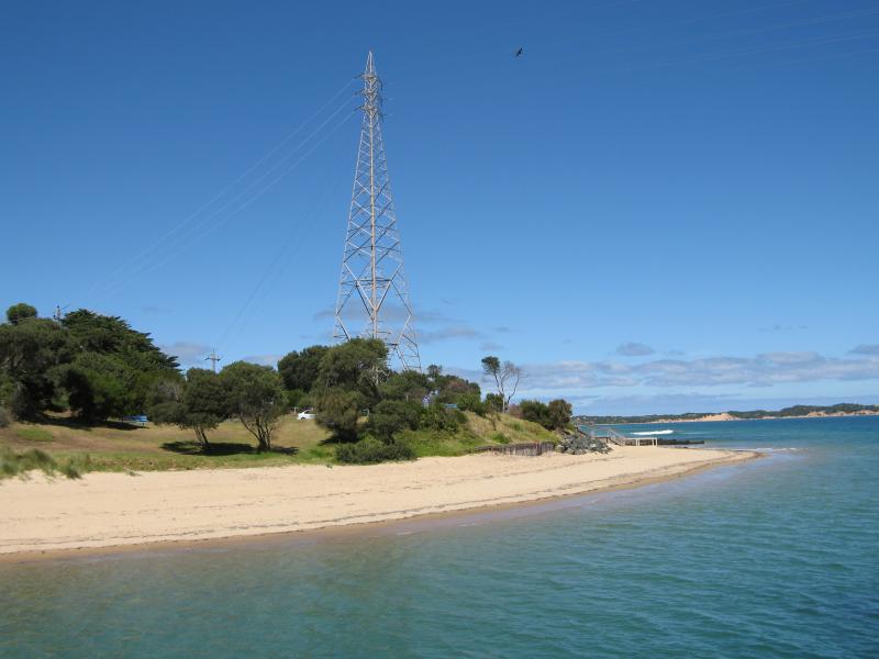
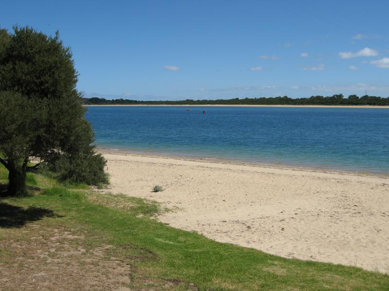
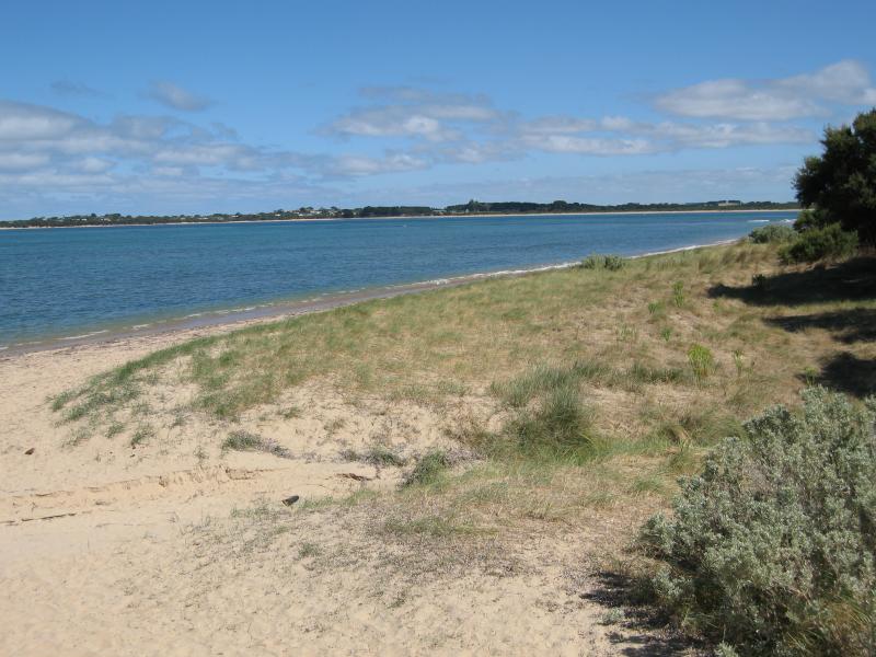
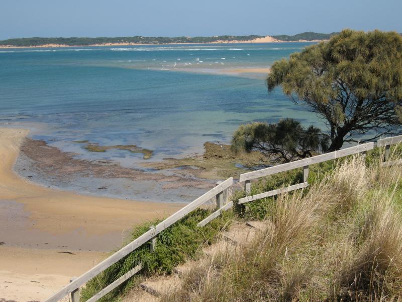
 Davis Point at western end of Marine Parade - View north-west across The Narrows towards beach at Newhaven
 Davis Point at western end of Marine Parade - View west across beach
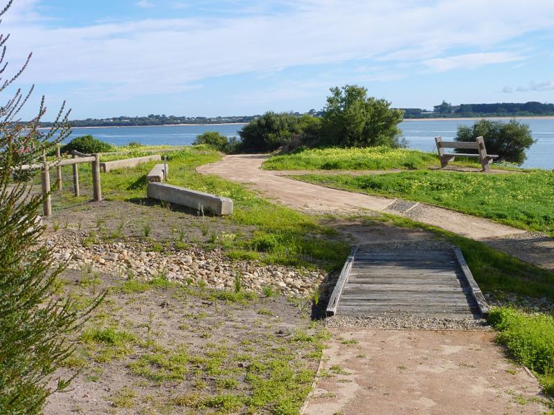
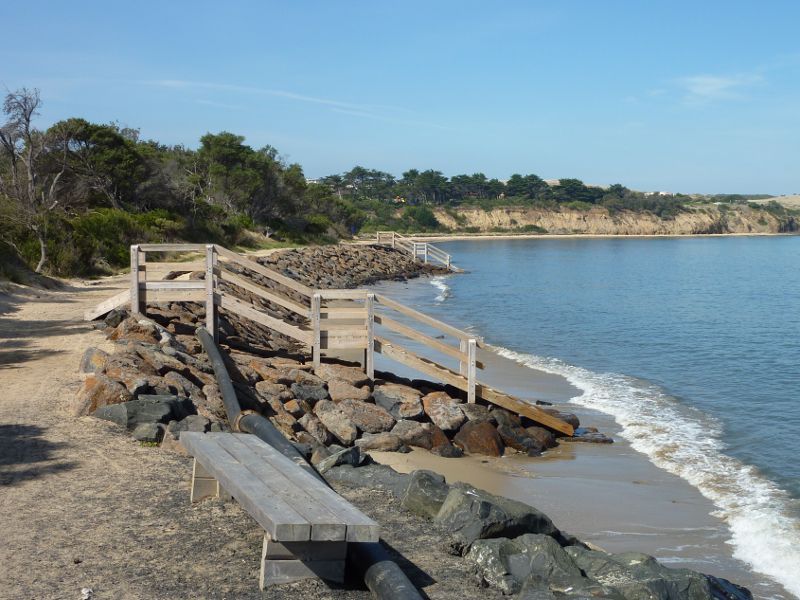
 Walking track along coast from San Remo Jetty to Back Beach - View towards bridge from near jetty
 Walking track along coast from San Remo Jetty to Back Beach - View south-west along path near jetty
 Walking track along coast from San Remo Jetty to Back Beach - View towards beach from path at Davis Point
 Walking track along coast from San Remo Jetty to Back Beach - Wooden groyne at Childrens Beach
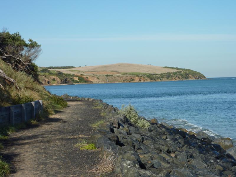
 Walking track along coast from San Remo Jetty to Back Beach - View south along beach and path towards Cape Woolamai
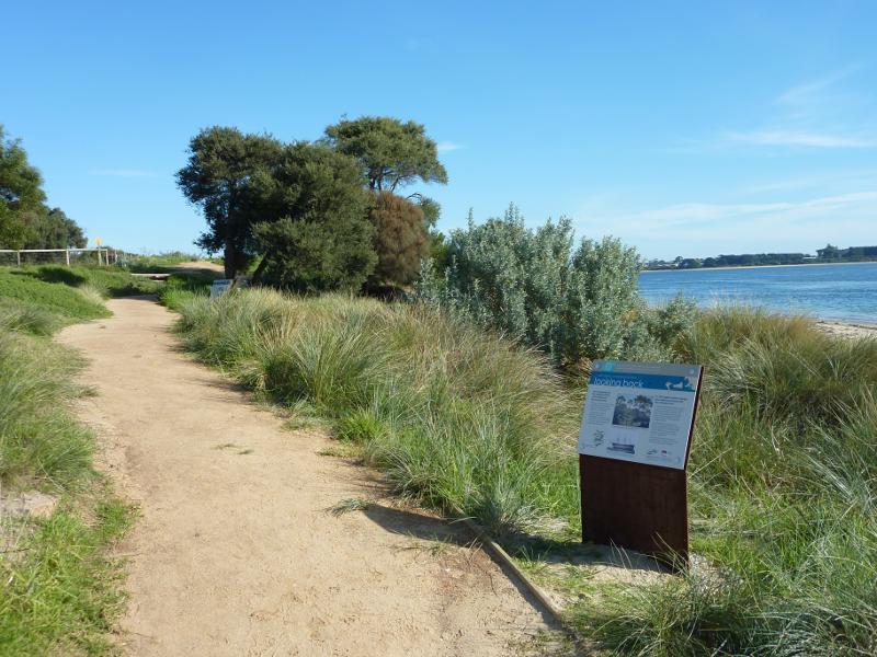
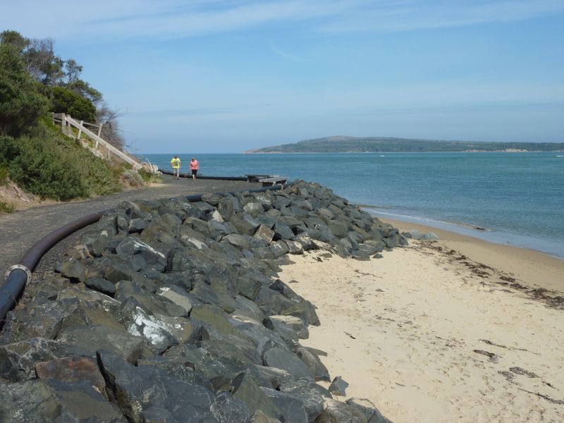
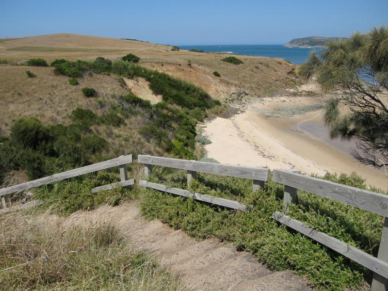
 Walking track along coast from San Remo Jetty to Back Beach - View south-east along path towards Griffiths Point
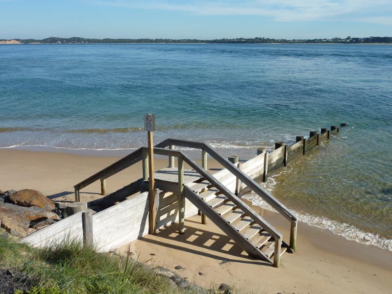
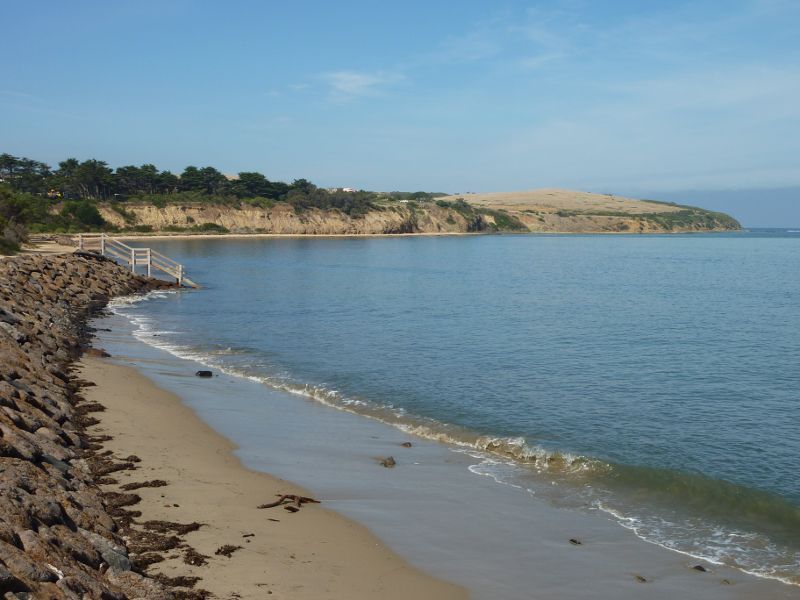
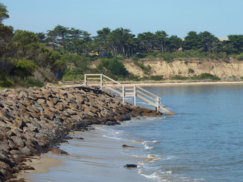
 Walking track along coast from San Remo Jetty to Back Beach - View south-east along Back Beach and path towards steps down to water
 Walking track along coast from San Remo Jetty to Back Beach - View south-east across Back Beach towards Griffiths Point
 Walking track along coast from San Remo Jetty to Back Beach - View east along Back Beach towards Lions Park
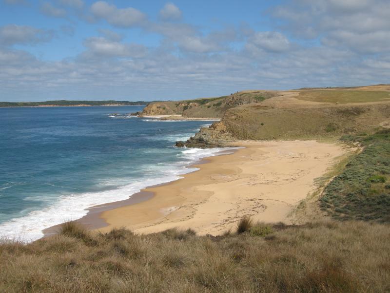
 Back Beach, Davis Point Road area - View south across foreshore and beach towards Cape Woolamai
 Back Beach, Davis Point Road area - View south-west across beach towards beaches at Cape Woolamai
 Back Beach, Davis Point Road area - View south towards Cape Woolamai
 Back Beach, Davis Point Road area - View south across beach towards Cape Woolamai
 Back Beach, Davis Point Road area - View north-west along beach
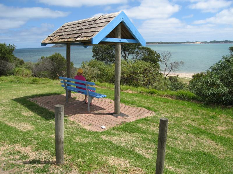
 Lions Park and Bonwicks Beach, Back Beach Road - View west through Lions Park towards BBQ shelter and coast
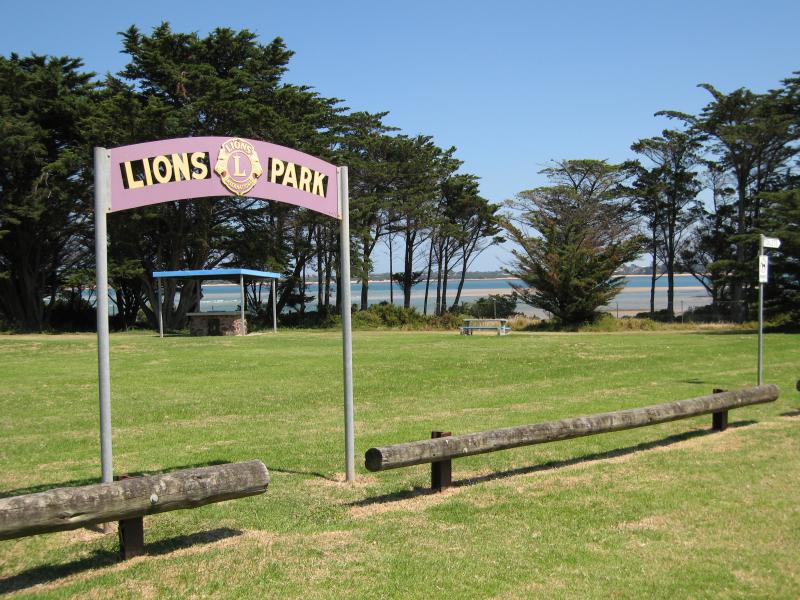
 Lions Park and Bonwicks Beach, Back Beach Road - View west through Lions Park towards Cape Woolamai
 Lions Park and Bonwicks Beach, Back Beach Road - View south towards Cape Woolamai
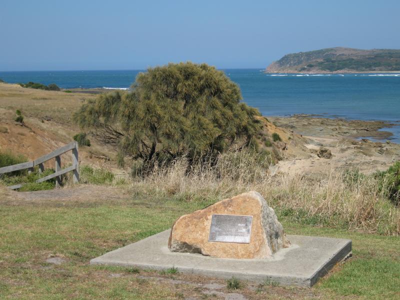 Lions Park and Bonwicks Beach, Back Beach Road - George Bass Heritage Trail marker at top of steps down to Bonwicks Beach
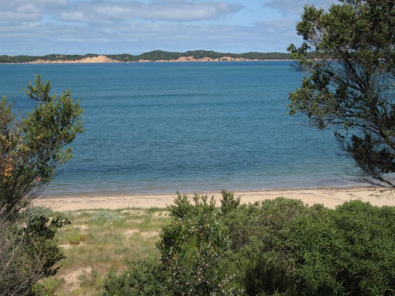
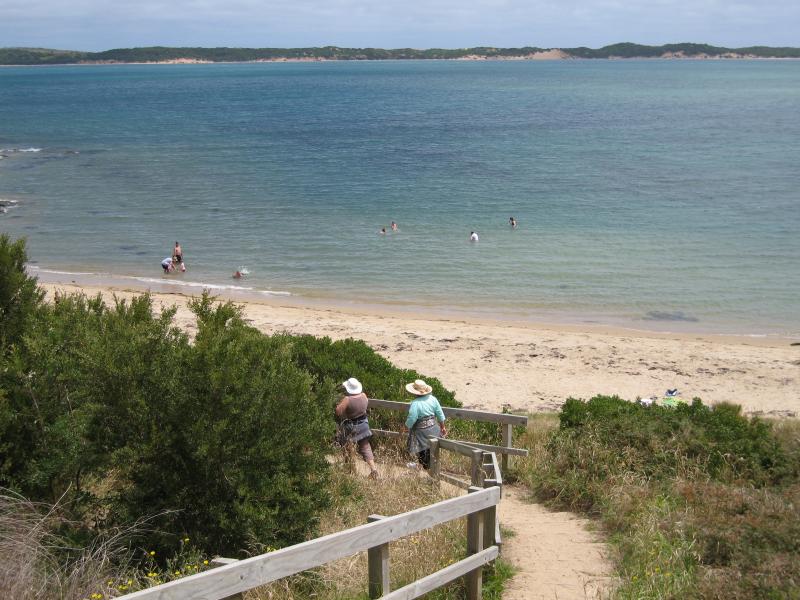
 Lions Park and Bonwicks Beach, Back Beach Road - View south-west across beach from steps down to beach
 Lions Park and Bonwicks Beach, Back Beach Road - View south along beach from steps down to beach
 Lions Park and Bonwicks Beach, Back Beach Road - View south along beach towards Cape Woolamai
 Lions Park and Bonwicks Beach, Back Beach Road - View of beach and foreshore
 Lions Park and Bonwicks Beach, Back Beach Road - View along beach towards Cape Woolamai
 Lions Park and Bonwicks Beach, Back Beach Road - View south along beach
 Lions Park and Bonwicks Beach, Back Beach Road - View north along beach
 Lions Park and Bonwicks Beach, Back Beach Road - View south along beach
 Lions Park and Bonwicks Beach, Back Beach Road - View across towards beaches along Cape Woolamai
 Lions Park and Bonwicks Beach, Back Beach Road - View south along beach towards Cape Woolamai
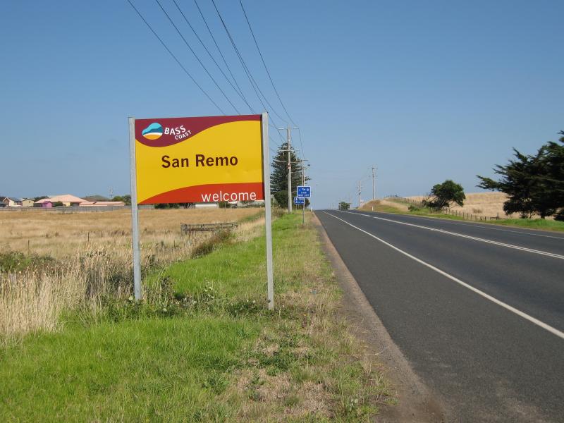 Phillip Island Road through San Remo - View west along Phillip Island Rd towards San Remo town sign
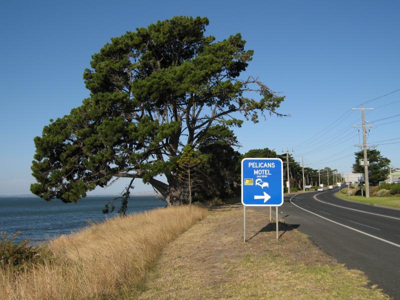
 Phillip Island Road through San Remo - View west along Phillip Island Rd at Panorama Dr
 Phillip Island Road through San Remo - View east along Phillip Island Rd towards Back Beach Rd
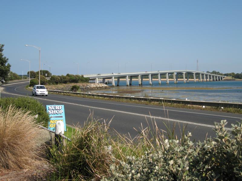
 Phillip Island Road through San Remo - View north-west towards bridge from Phillip Island Rd near Back Beach Rd
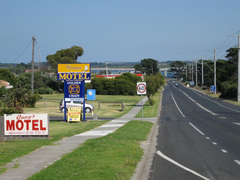
 Phillip Island Road through San Remo - View west along Phillip Island Rd towards bridge
 Phillip Island Road through San Remo - View east along Phillip Island Rd towards Bergin Gv
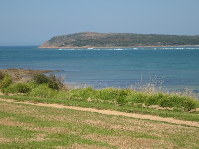
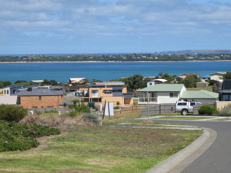
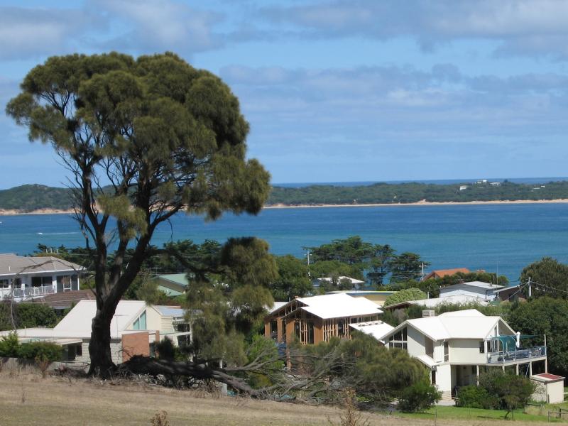 Views from Panorama Drive near Anderson Street and Bonwick Avenue - View south-west towards Cape Woolamai
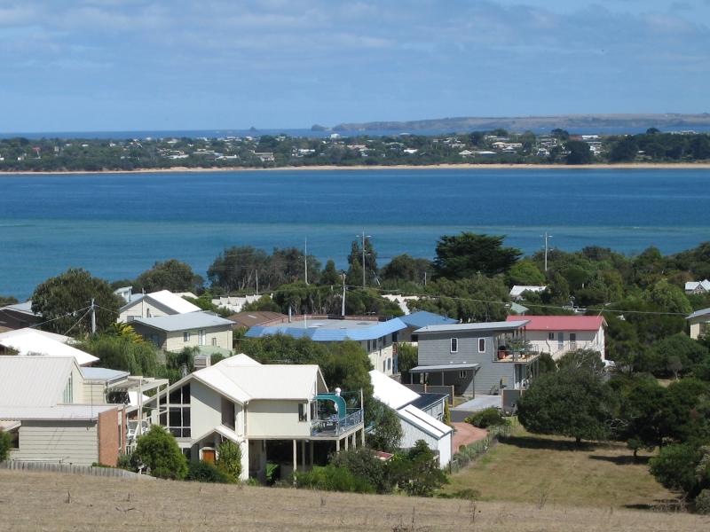 Views from Panorama Drive near Anderson Street and Bonwick Avenue - View west across water towards housing at Cape Woolamai
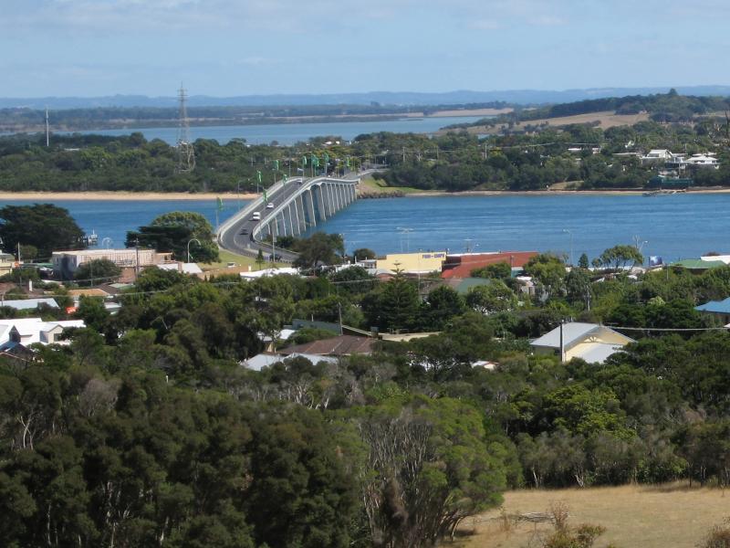 Views from Panorama Drive near Anderson Street and Bonwick Avenue - View north-west towards Phillip Island Bridge
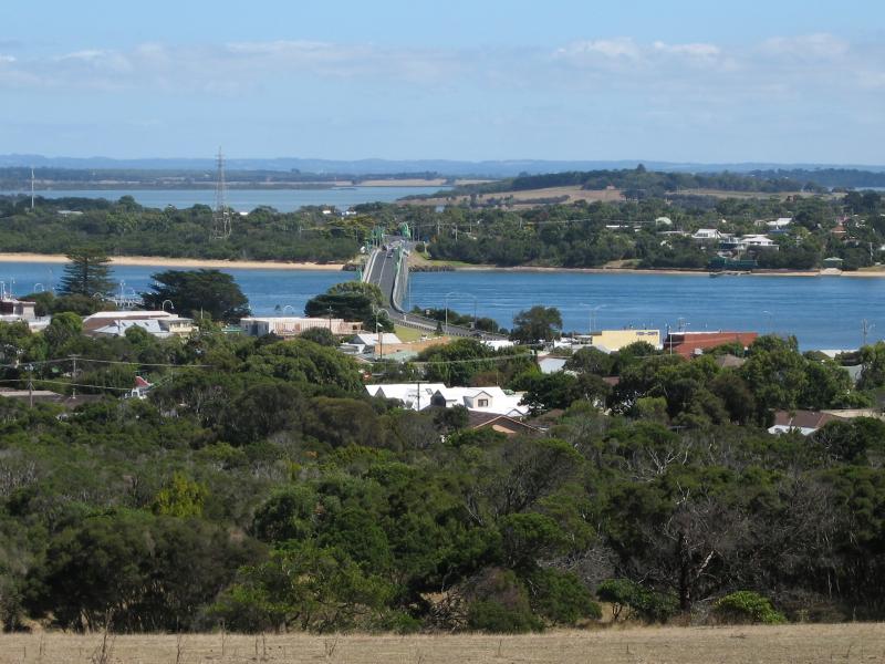 Views from Panorama Drive near Anderson Street and Bonwick Avenue - View north-west towards Phillip Island Bridge
 Views from Panorama Drive near Anderson Street and Bonwick Avenue - View north-west across water towards Newhaven
 Views from Shetland Heights Road and surrounding housing estates - View west along Halcyon Av
 Views from Shetland Heights Road and surrounding housing estates - View west along Shetland Heights Rd towards Back Beach Rd
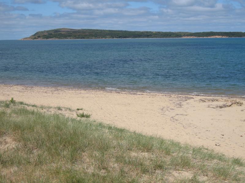
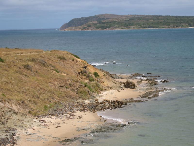
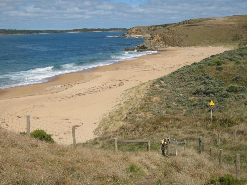
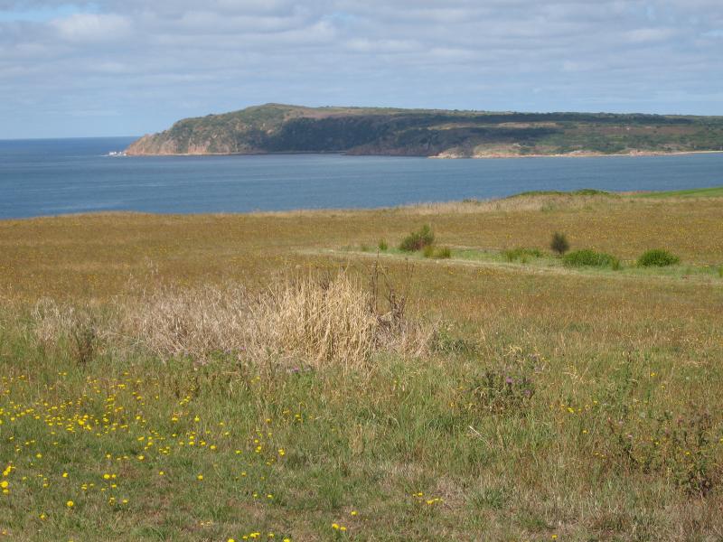 Bore Beach, Potters Hill Road - View south-west from Potters Hill Rd towards Cape Woolamai
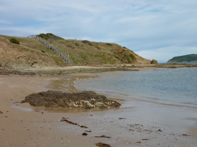
 Bore Beach, Potters Hill Road - View south-west along path to beach
 Bore Beach, Potters Hill Road - View west along beach from walking track
 Bore Beach, Potters Hill Road - View west towards beach from walking track
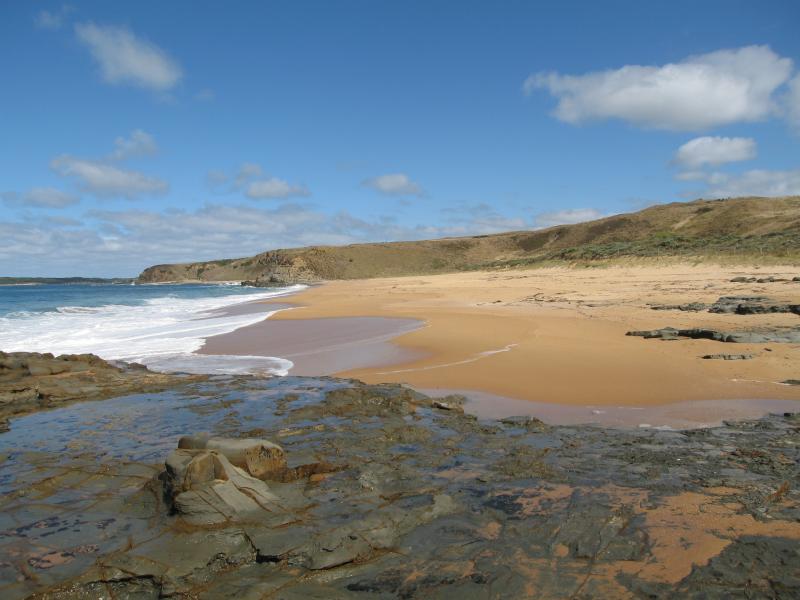 Bore Beach, Potters Hill Road - View west along beach
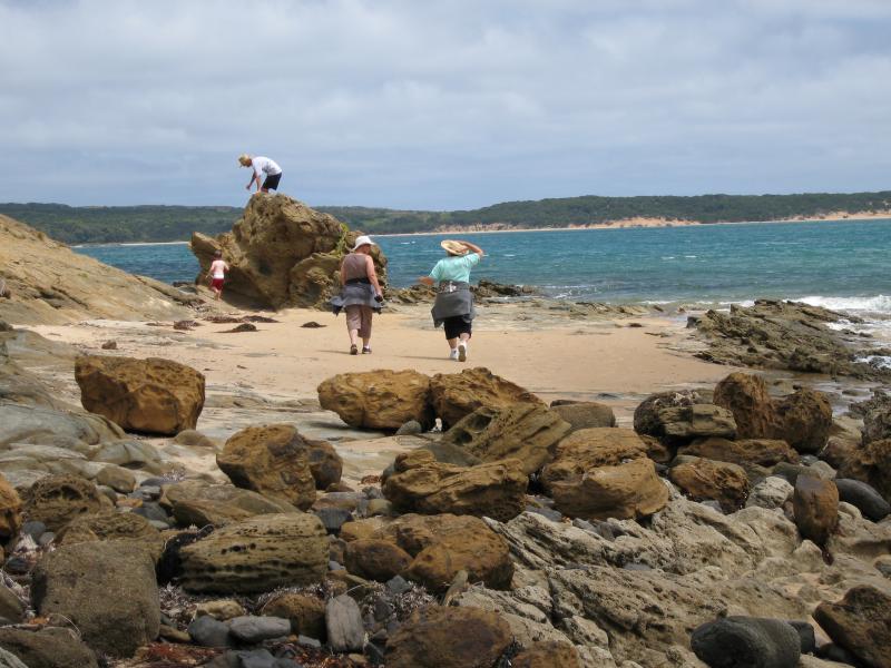
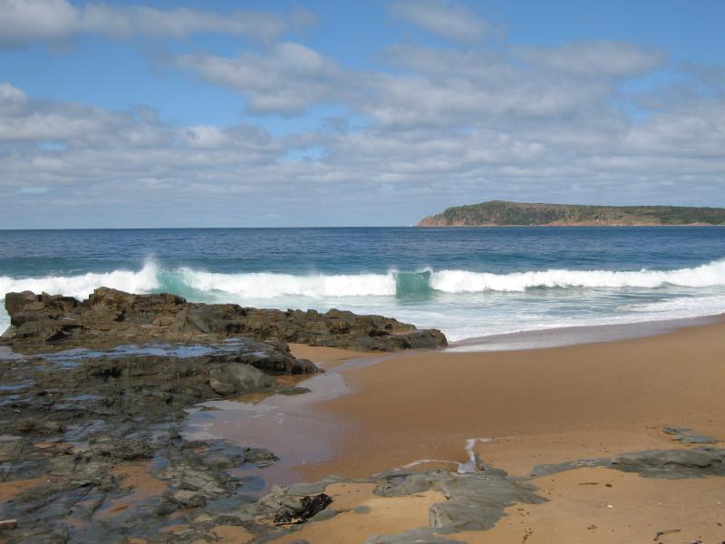 Bore Beach, Potters Hill Road - View south-west across beach towards Cape Woolamai
 Bore Beach, Potters Hill Road - View south-west across beach towards Cape Woolamai
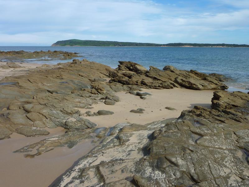
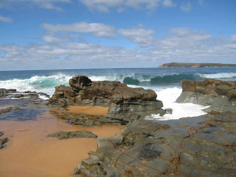
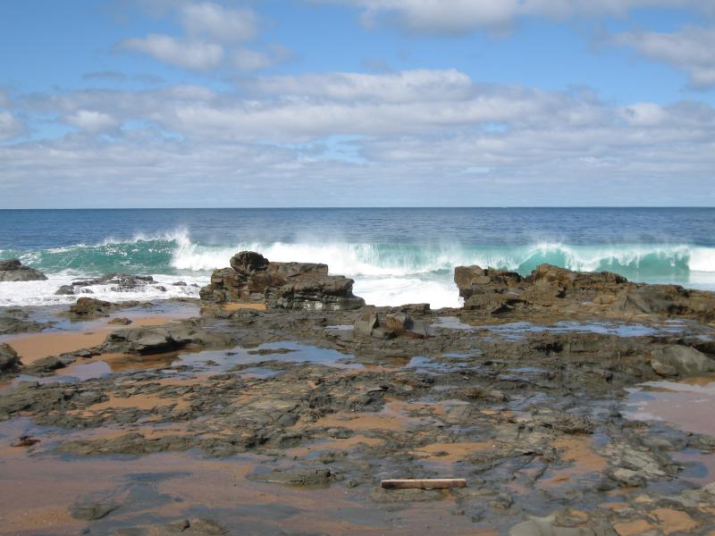 Bore Beach, Potters Hill Road - View out to sea across rocks on beach
 Phillip Island Road between San Remo and Anderson - View west along coast from near Potters Hill Rd
 Phillip Island Road between San Remo and Anderson - View north-west at coast near Potters Hill Rd
 Phillip Island Road between San Remo and Anderson - View north-east along coast near Potters Hill Rd
 Phillip Island Road between San Remo and Anderson - View west along Phillip Island Rd towards Punchbowl Rd
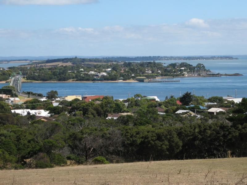
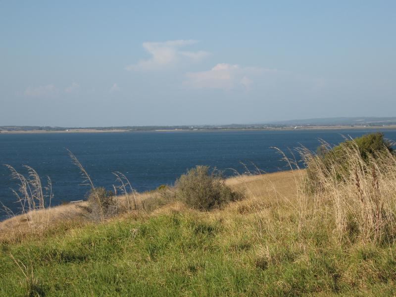
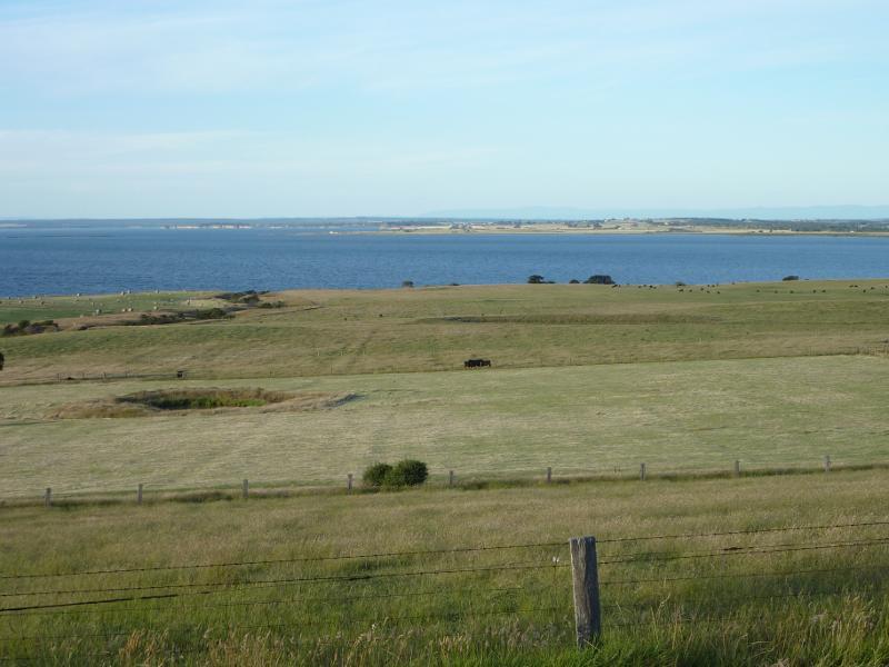
 Phillip Island Road between San Remo and Anderson - View north-west towards Western Port from near Punchbowl Rd
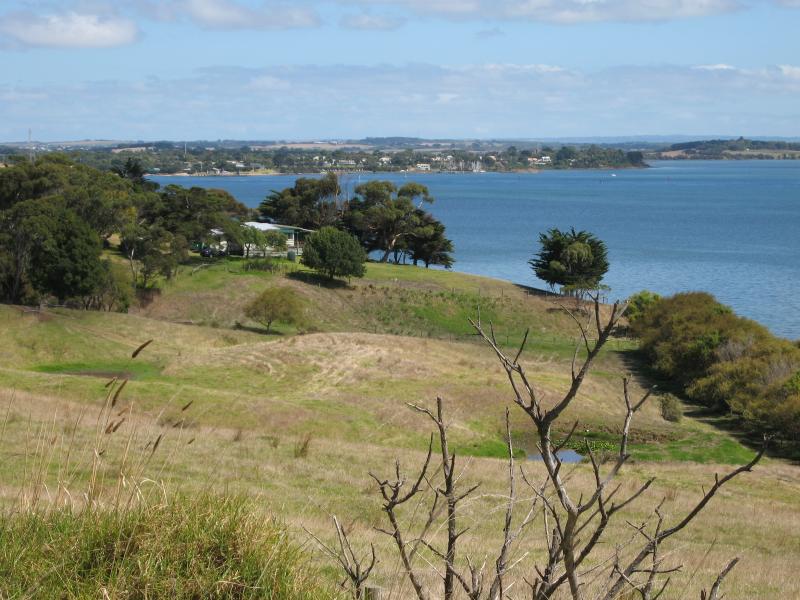
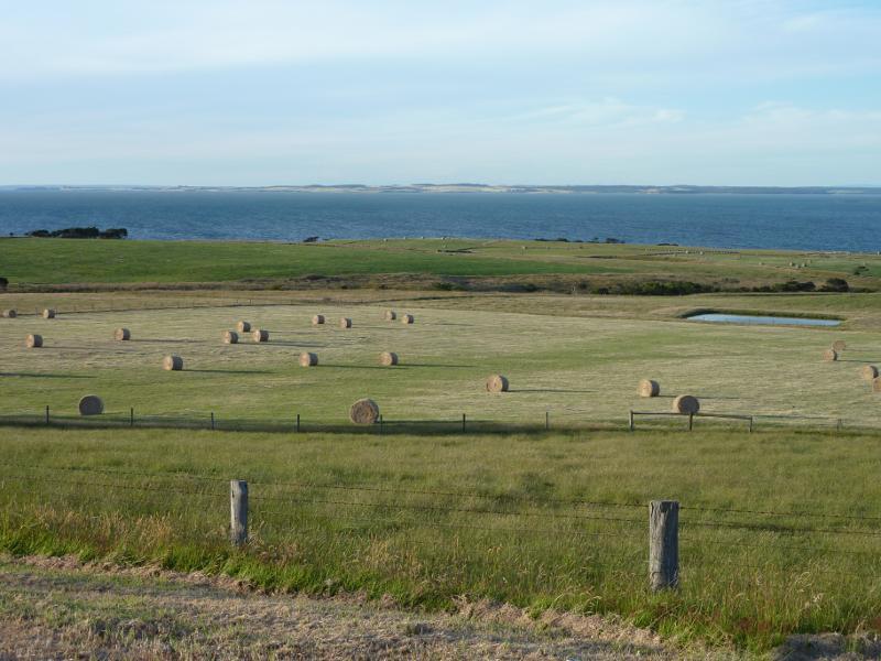
 Phillip Island Road between San Remo and Anderson - View north towards Western Port and Coronet Bay from near Punchbowl Rd
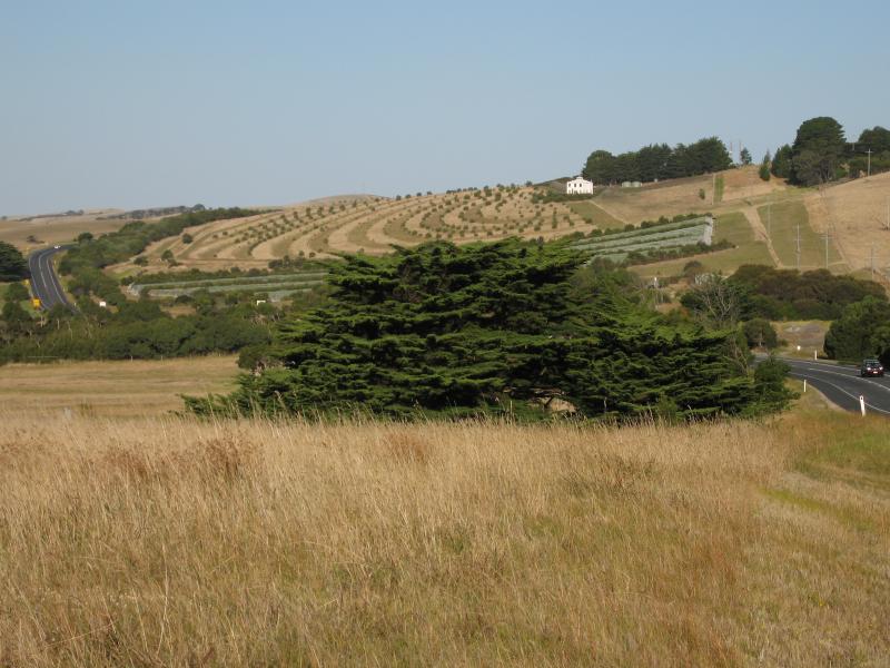 Phillip Island Road between San Remo and Anderson - View east along Phillip Island Rd between Punchbowl Rd and Clifford Rd
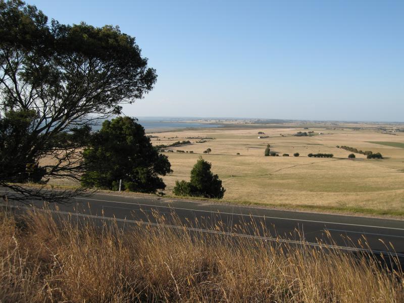
 Phillip Island Road between San Remo and Anderson - View north-west towards Western Port from scenic lookout near Clifford Rd
 Phillip Island Road between San Remo and Anderson - View north from scenic lookout near Clifford Rd
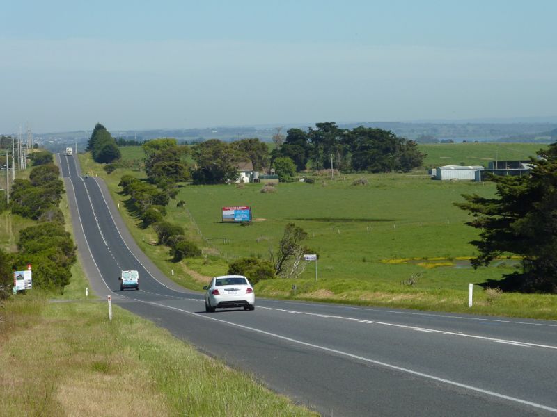
 Phillip Island Road between San Remo and Anderson - View east along Phillip Island Rd towards Bass Hwy at Anderson