Seaspray - photos
Seaspray
Stay
See and do
Food and drink
Shopping
Getting around
Visitor information
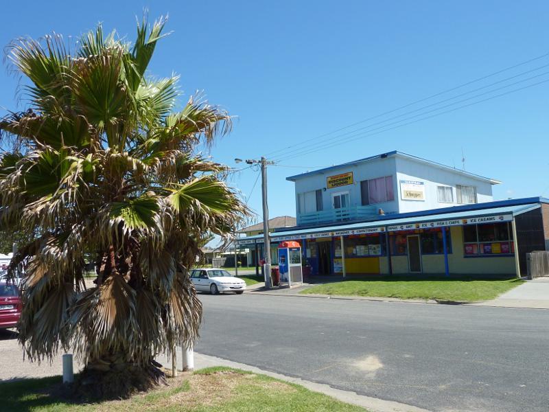 Foreshore Road through town centre - View across Foreshore Rd towards general store
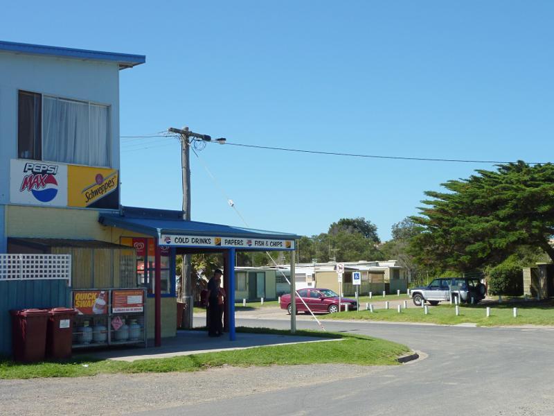 Foreshore Road through town centre - General store, corner of Lyons St and Foreshore Rd
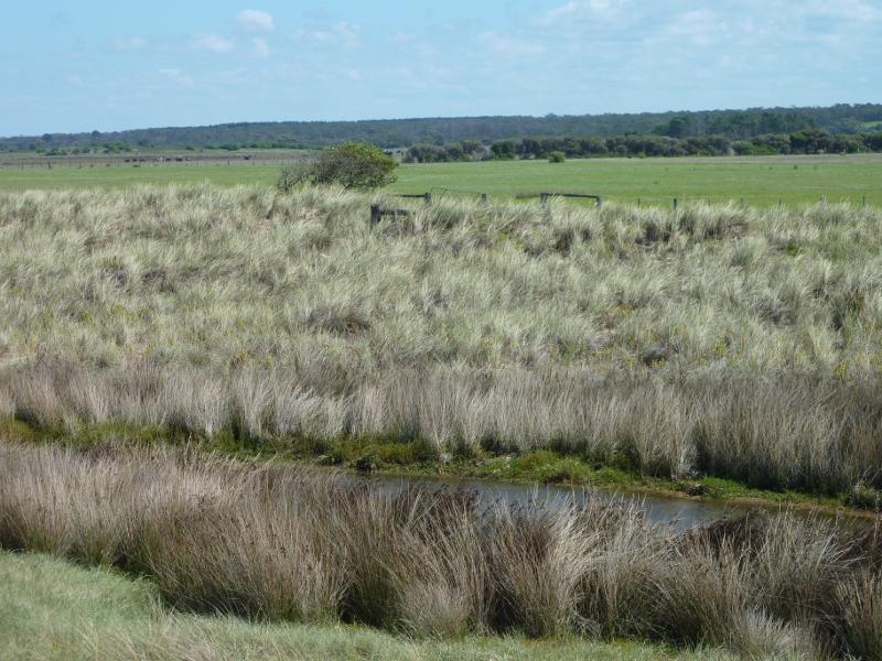
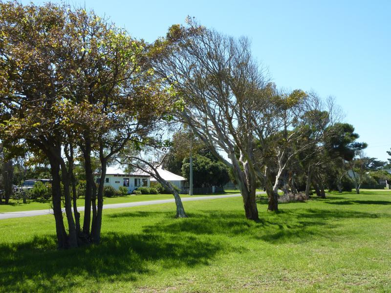
 Foreshore Road through town centre - View south-west through coastal park from Foreshore Rd at Lyons St
 Foreshore Road through town centre - View south-west along Foreshore Rd at Lyons St
 Foreshore Road through town centre - View north-east along Foreshore Rd towards Lyons St
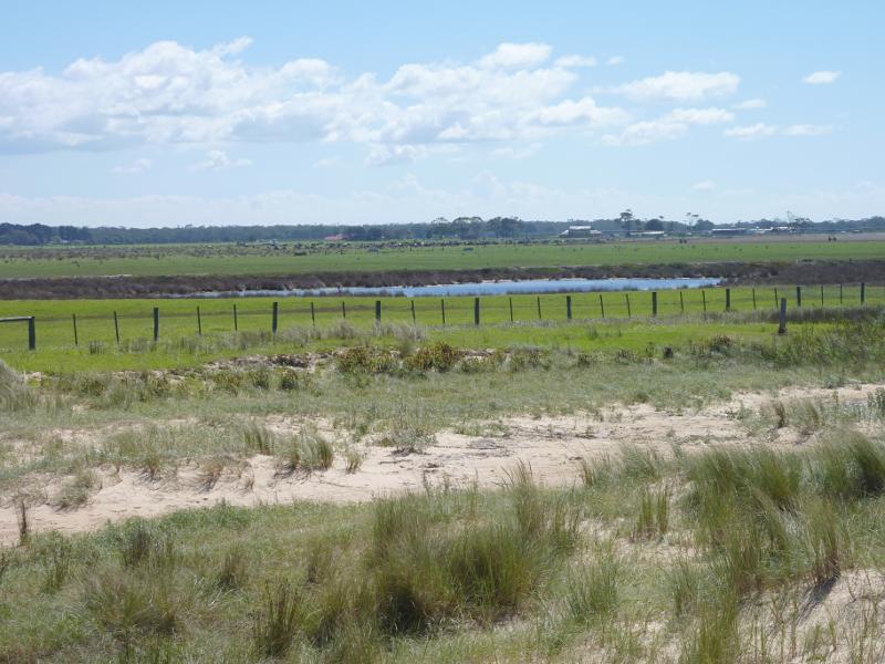
 Foreshore Road through town centre - View north-west through coastal park towards Foreshore Rd and Lyons St
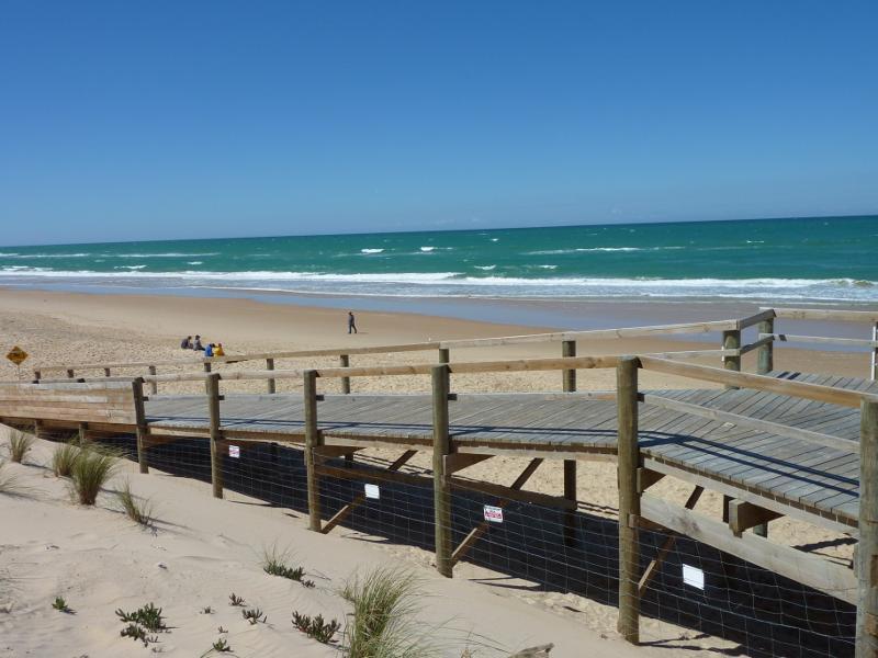
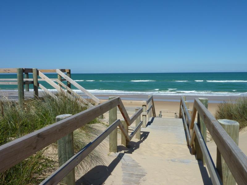
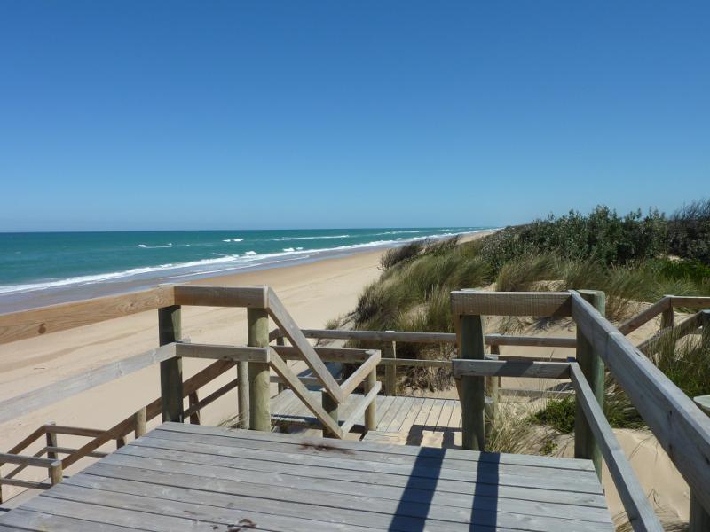
 Foreshore Road through town centre - View towards coastal park from path to Seaspray Surf Life Saving Club
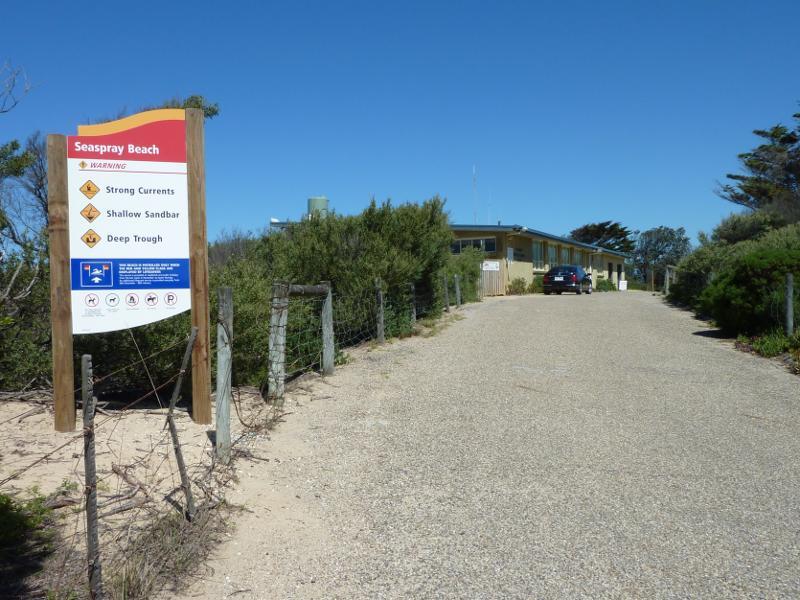 Beach at Seaspray Surf Life Saving Club, off Foreshore Road - Driveway off Foreshore Rd towards Seaspray Surf Life Saving Club
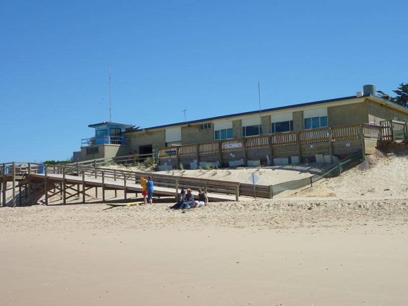 Beach at Seaspray Surf Life Saving Club, off Foreshore Road - View from beach towards Seaspray Surf Life Saving Club
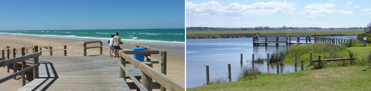
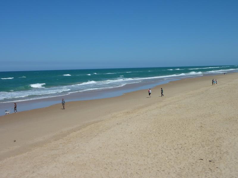
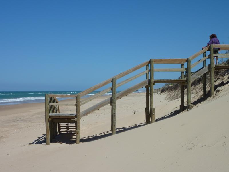
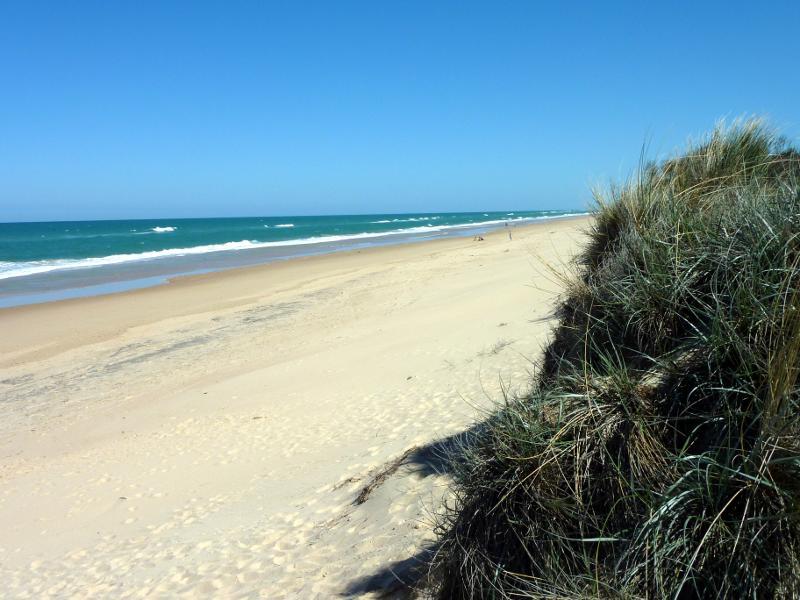
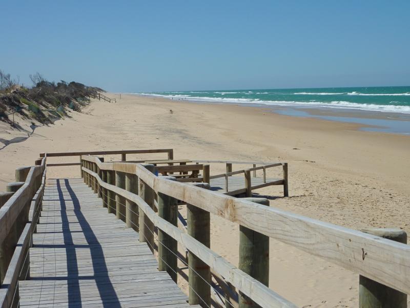
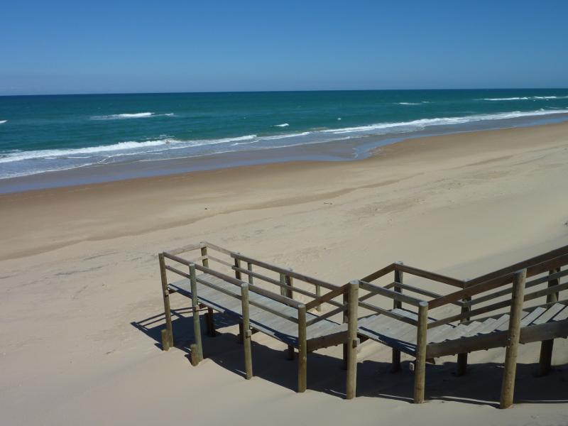
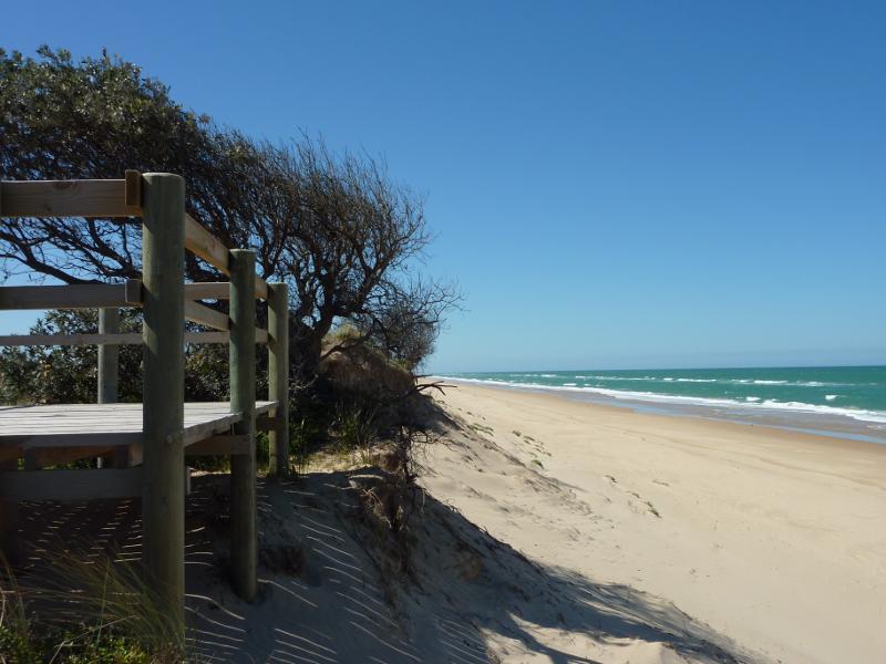
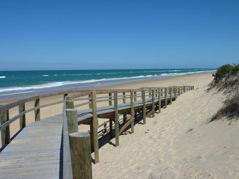 Beach at Seaspray Surf Life Saving Club, off Foreshore Road - South-westerly view along beach from walkway
 Beach at Seaspray Surf Life Saving Club, off Foreshore Road - South-westerly view along beach from walkway
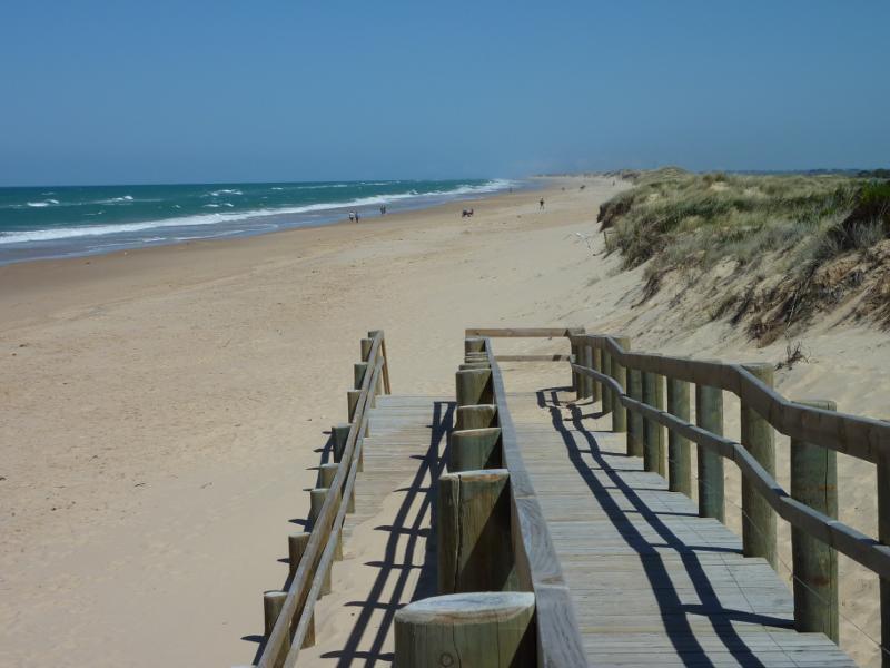
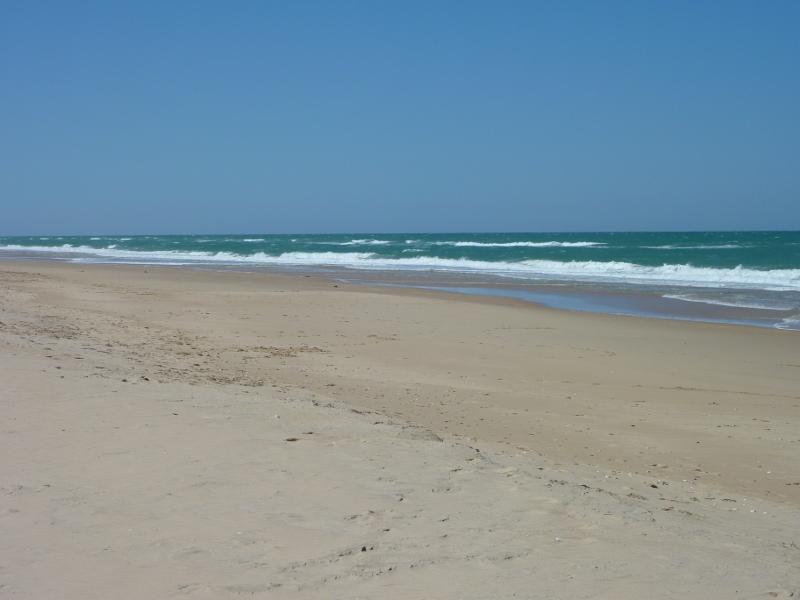
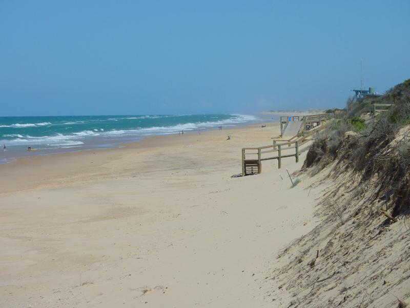
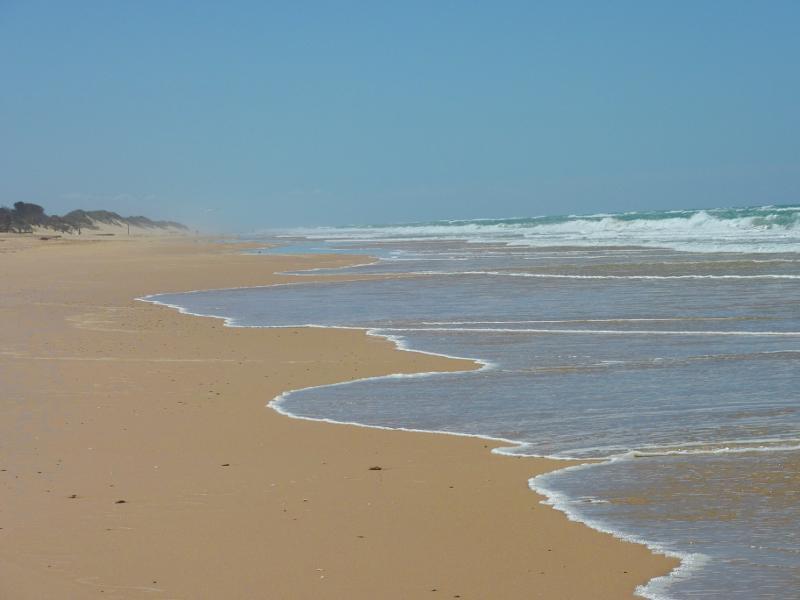
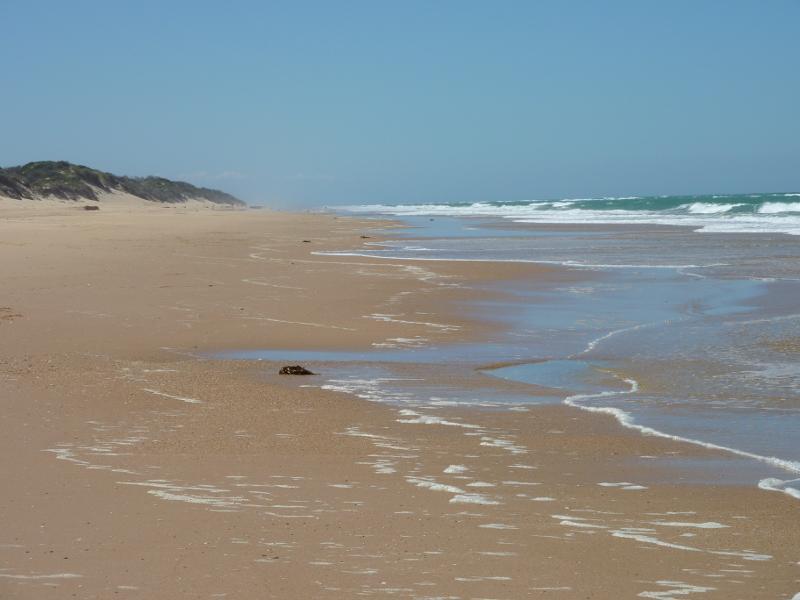
 Beach at Seaspray Surf Life Saving Club, off Foreshore Road - View south-west along beach
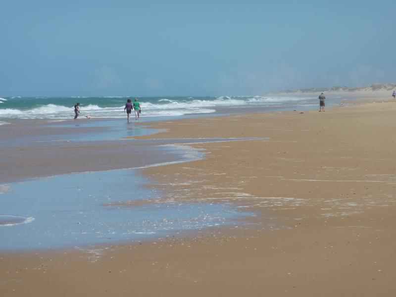 Beach at Seaspray Surf Life Saving Club, off Foreshore Road - View south-west along beach
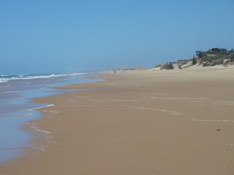
 Beach at Seaspray Surf Life Saving Club, off Foreshore Road - View south over beach
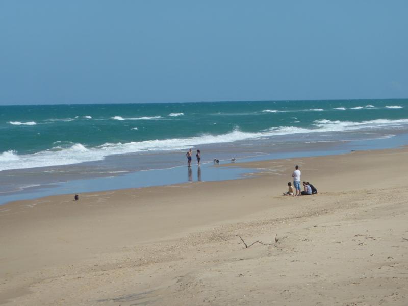
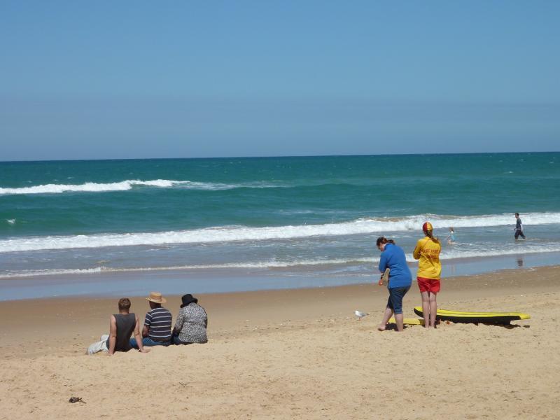 Beach at Seaspray Surf Life Saving Club, off Foreshore Road - Beach in front of Seaspray Surf Life Saving Club
 Beach at Seaspray Surf Life Saving Club, off Foreshore Road - Easterly view across beach from walkway
 Beach at Seaspray Surf Life Saving Club, off Foreshore Road - North-easterly view along beach from walkway
 Beach at Seaspray Surf Life Saving Club, off Foreshore Road - View north-east along beach in front of Seaspray Surf Life Saving Club
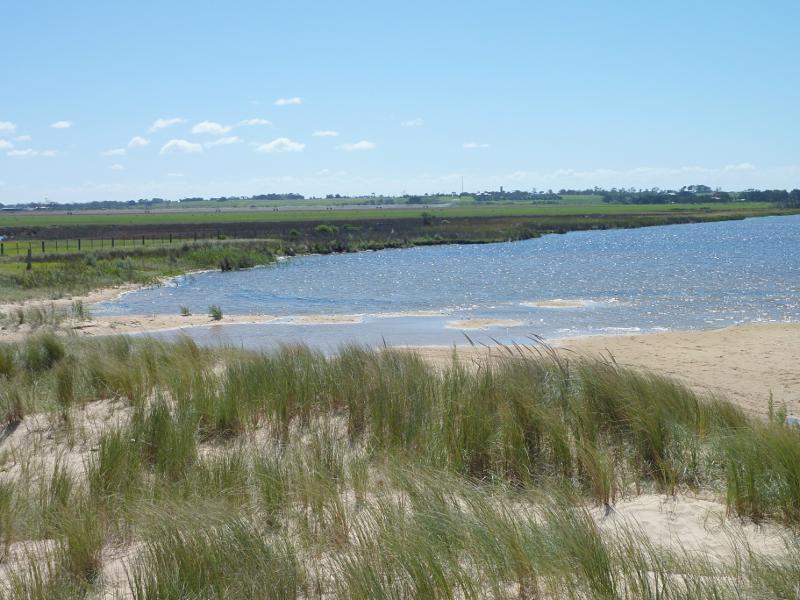
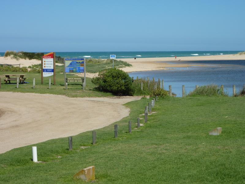
 Beach at south-western end of Foreshore Road and mouth of Merriman Creek - View east across beach
 Beach at south-western end of Foreshore Road and mouth of Merriman Creek - Seagulls on beach
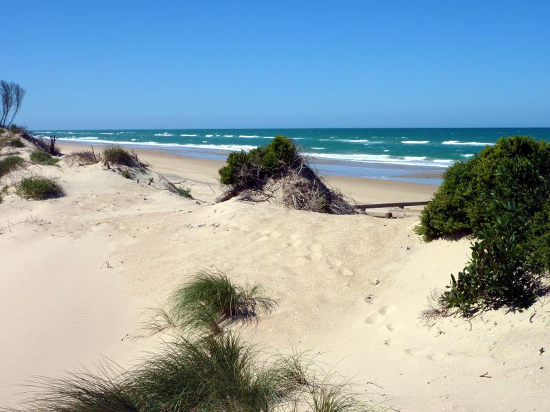
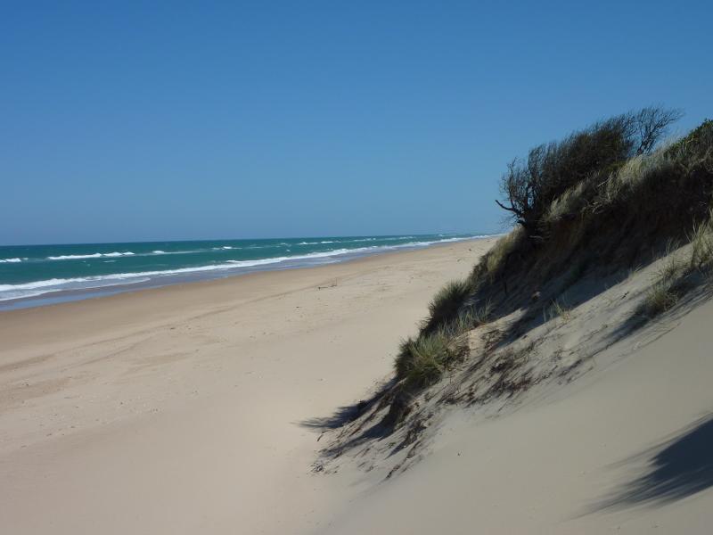
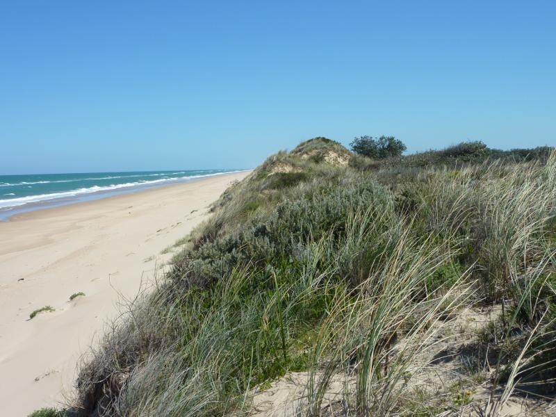
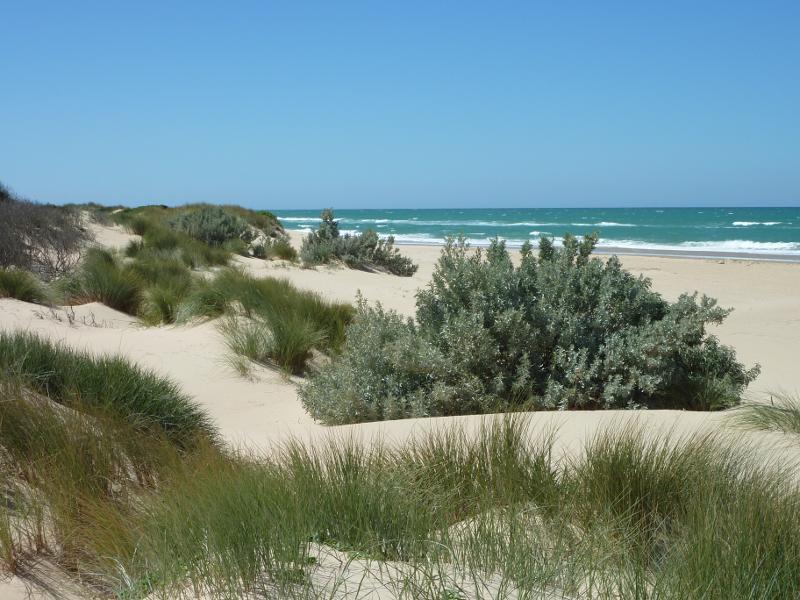 Beach at south-western end of Foreshore Road and mouth of Merriman Creek - Sand dunes on beach east of creek
 Beach at south-western end of Foreshore Road and mouth of Merriman Creek - Beach near mouth of creek
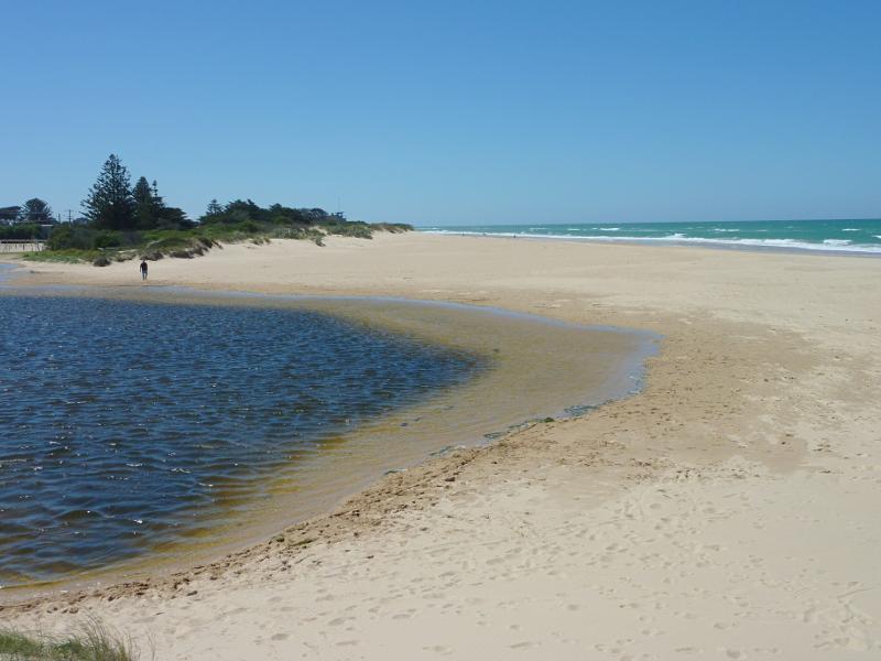
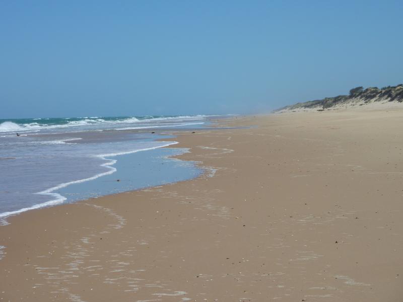
 Beach at south-western end of Foreshore Road and mouth of Merriman Creek - View south-west along beach towards creek
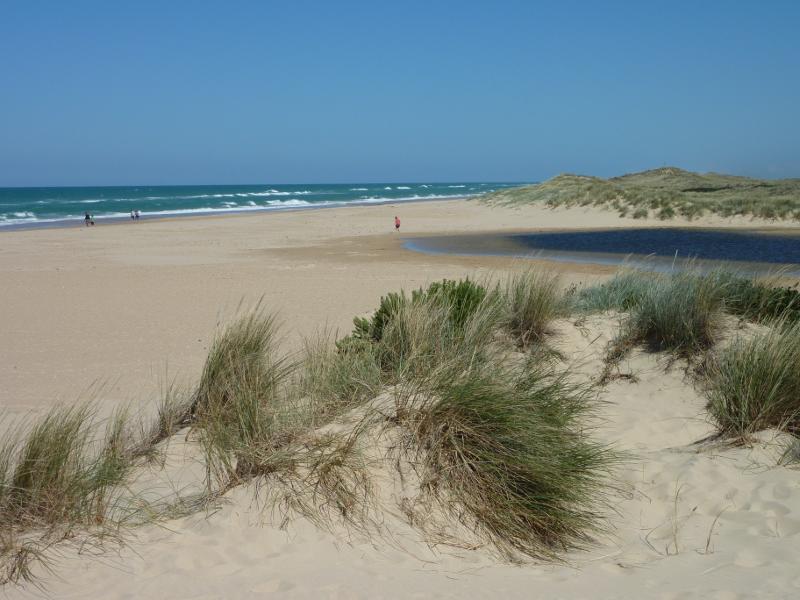
 Beach at south-western end of Foreshore Road and mouth of Merriman Creek - View south-west across mouth of creek
 Beach at south-western end of Foreshore Road and mouth of Merriman Creek - View south-west along beach, west of creek
 Beach at south-western end of Foreshore Road and mouth of Merriman Creek - Westerly view inland from beach west of creek
 Beach at south-western end of Foreshore Road and mouth of Merriman Creek - North-westerly view inland from beach west of creek
 Beach at south-western end of Foreshore Road and mouth of Merriman Creek - Northerly view over creek from beach
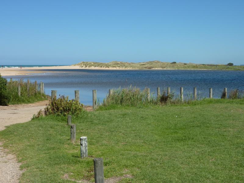
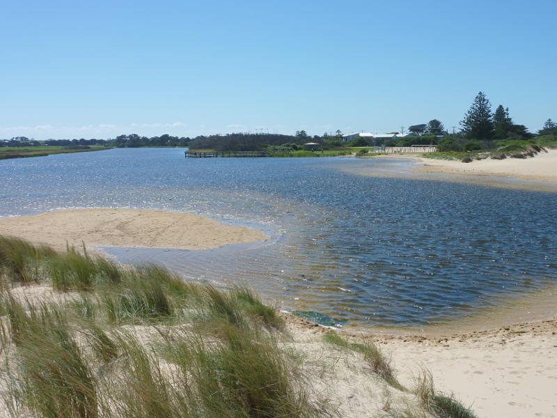 Beach at south-western end of Foreshore Road and mouth of Merriman Creek - View north along creek from beach
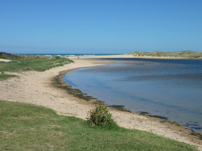
 Beach at south-western end of Foreshore Road and mouth of Merriman Creek - View north-east along beach at mouth of creek
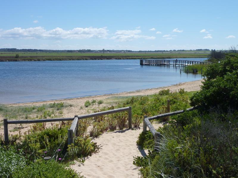
 Merriman Creek and fishing platform at the park at end of Foreshore Road - View south along creek towards beach
 Merriman Creek and fishing platform at the park at end of Foreshore Road - View north-west across creek from beach towards fishing platform
 Merriman Creek and fishing platform at the park at end of Foreshore Road - View south along creek towards beach
 Merriman Creek and fishing platform at the park at end of Foreshore Road - View south through park towards mouth of creek
 Merriman Creek and fishing platform at the park at end of Foreshore Road - View south-west across creek at boat ramp
 Merriman Creek and fishing platform at the park at end of Foreshore Road - View west across creek near fishing platform
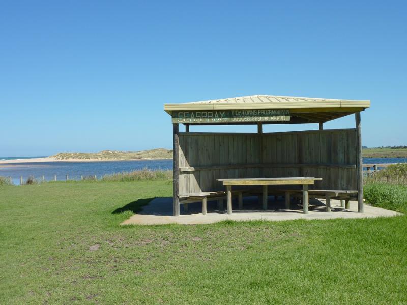 Merriman Creek and fishing platform at the park at end of Foreshore Road - Picnic shelter in park near fishing platform
 Merriman Creek and fishing platform at the park at end of Foreshore Road - Northerly view from park towards fishing platform
 Merriman Creek and fishing platform at the park at end of Foreshore Road - Southerly view along creek from fishing platform
 Merriman Creek and fishing platform at the park at end of Foreshore Road - View towards car park from fishing platform
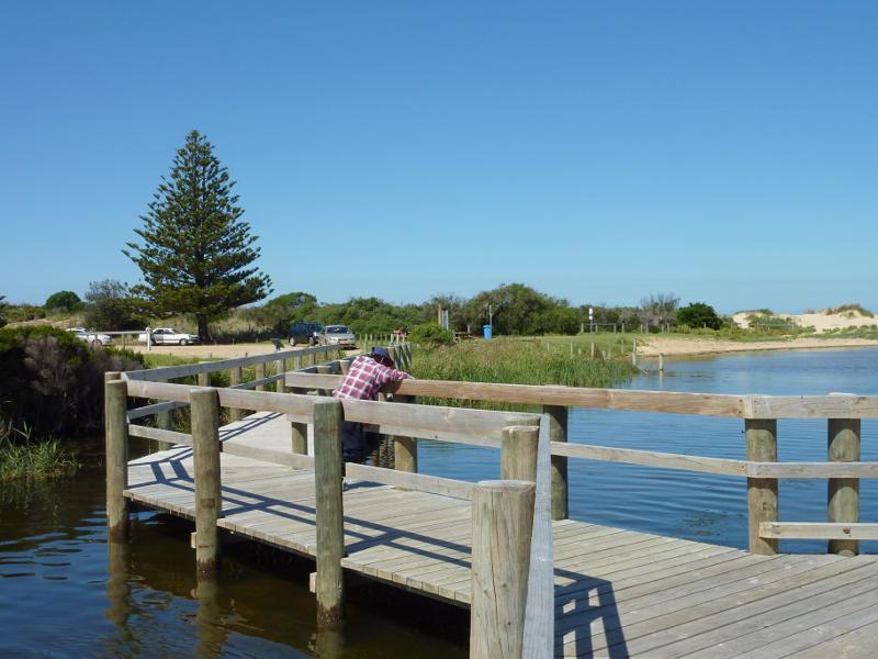 Merriman Creek and fishing platform at the park at end of Foreshore Road - View along fishing platform towards car park
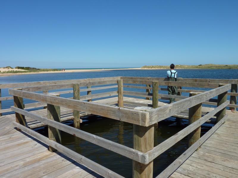 Merriman Creek and fishing platform at the park at end of Foreshore Road - View south along creek from fishing platform
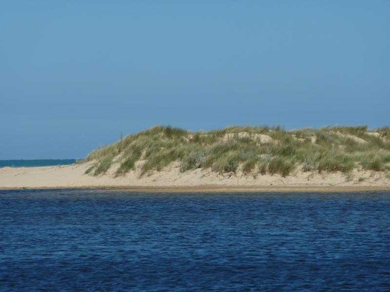 Merriman Creek and fishing platform at the park at end of Foreshore Road - View across creek towards sand dunes from fishing platform
 Merriman Creek and fishing platform at the park at end of Foreshore Road - Westerly view inland from fishing platform
 Merriman Creek and fishing platform at the park at end of Foreshore Road - View north along creek from fishing platform
 Seaspray Memorial Park and surroundings between Buckley Street and Bearup Street - Entrance gates to park, Bearup St
 Seaspray Memorial Park and surroundings between Buckley Street and Bearup Street - View towards war memorial and Buckley St
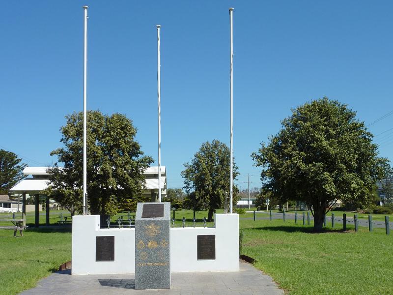 Seaspray Memorial Park and surroundings between Buckley Street and Bearup Street - View south-west through park at war memorial
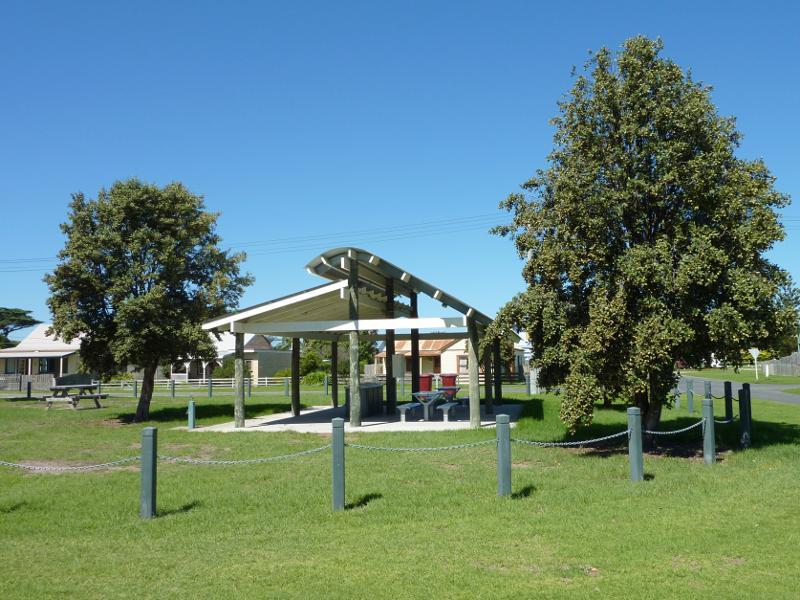 Seaspray Memorial Park and surroundings between Buckley Street and Bearup Street - BBQ shelter viewed from Buckley St at Lyons St
 Seaspray Memorial Park and surroundings between Buckley Street and Bearup Street - View north-east through park from Buckley St at Lyons St
 Seaspray Memorial Park and surroundings between Buckley Street and Bearup Street - View south-west along Bearup St towards Lyons St
 Seaspray Memorial Park and surroundings between Buckley Street and Bearup Street - Picnic shelter and playground, viewed from Buchan St
 Seaspray Memorial Park and surroundings between Buckley Street and Bearup Street - View north-east through park, Buckley St north of Buchan St
 Reserve north of Buckley Street, along Merriman Creek and The Island - Start of walkway to The Island, Buckley St near Buchan St
 Reserve north of Buckley Street, along Merriman Creek and The Island - View south-west through reserve behind houses along Buckley St
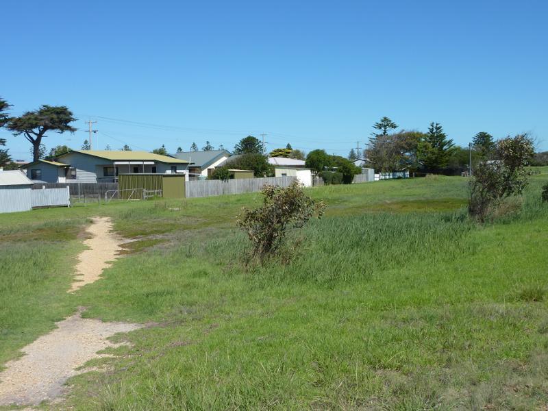
 Reserve north of Buckley Street, along Merriman Creek and The Island - View south-west along path behind houses along Buckley St
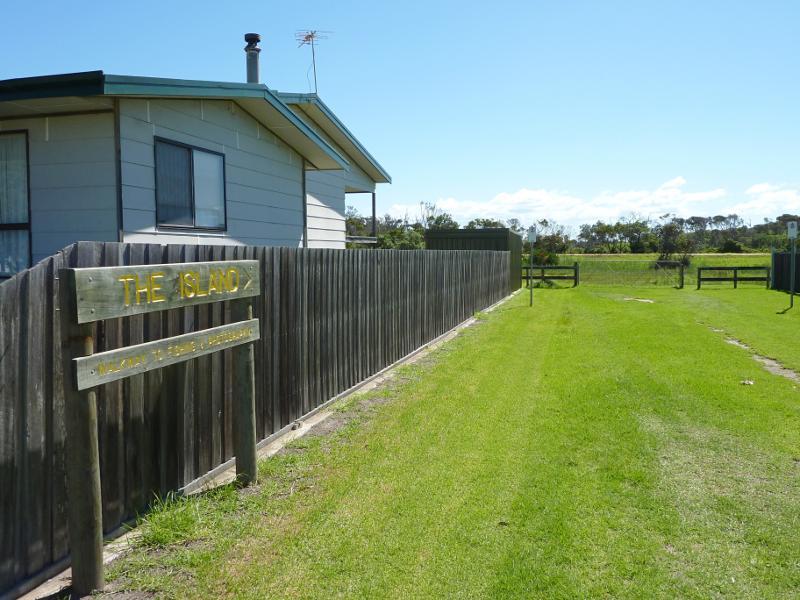
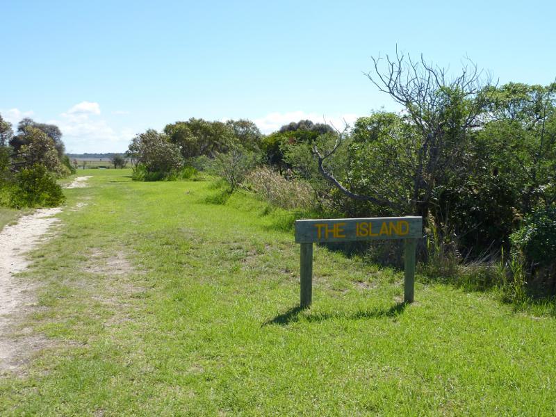 Reserve north of Buckley Street, along Merriman Creek and The Island - Entrance to The Island
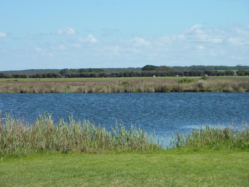
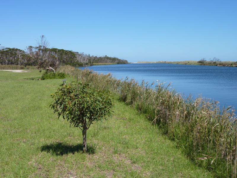
 Reserve north of Buckley Street, along Merriman Creek and The Island - View across waters on south side of The Island
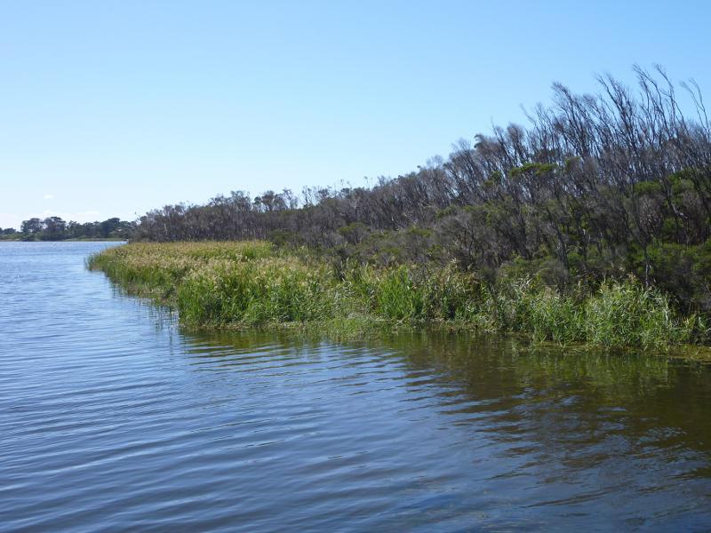
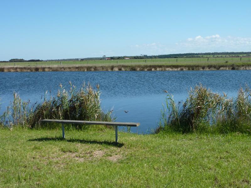
 Reserve north of Buckley Street, along Merriman Creek and The Island - View south along Merriman Creek from west side of The Island
 Reserve north of Buckley Street, along Merriman Creek and The Island - View south along Merriman Creek from west side of The Island
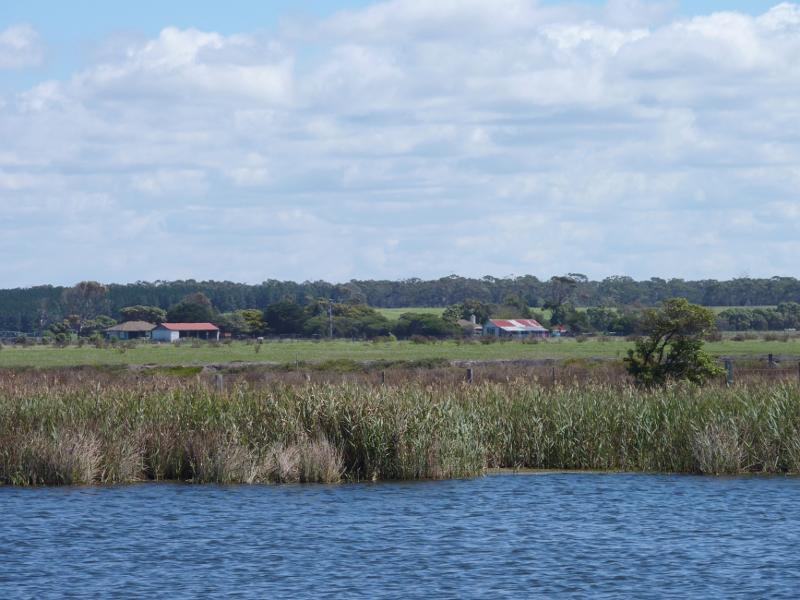
 Reserve north of Buckley Street, along Merriman Creek and The Island - View west across Merriman Creek from west side of The Island
 Reserve north of Buckley Street, along Merriman Creek and The Island - Lawns on The Island
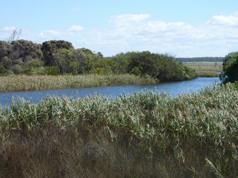 Reserve north of Buckley Street, along Merriman Creek and The Island - View south-west across creek towards northern side of The Island
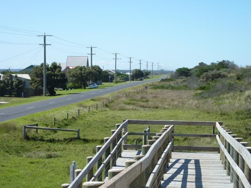
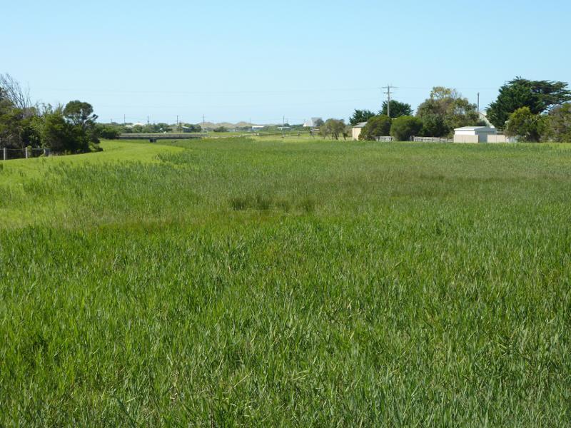 Reserve north of Buckley Street, along Merriman Creek and The Island - View north-east along floodway near Merriman Creek towards bridge at Futcher St
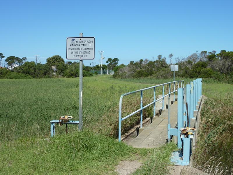 Reserve north of Buckley Street, along Merriman Creek and The Island - Floodway gate near Merriman Creek
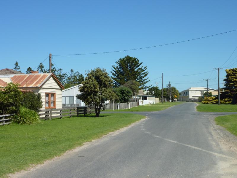
 Around Seaspray - View across Foreshore Rd at Futcher St
 Around Seaspray - View south-east along Futcher St at Bearup St
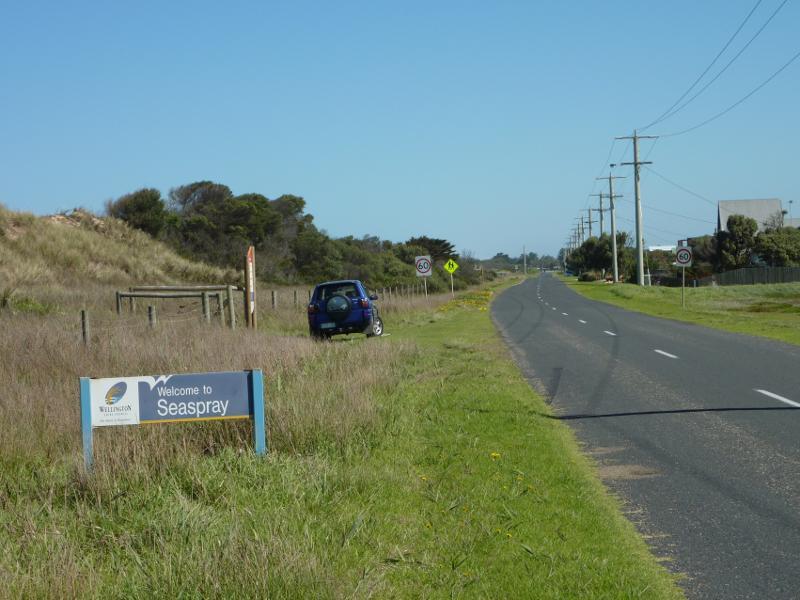
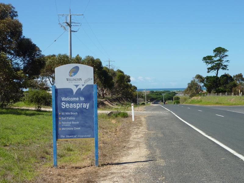
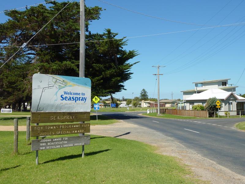 Around Seaspray - Welcome to Seaspray sign, view south-east along Futcher St towards Buckley St
 Around Seaspray - Seaspray Public Hall, Futcher St
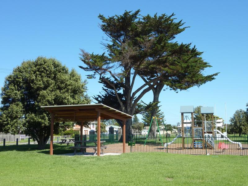
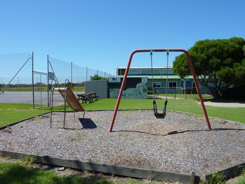 Around Seaspray - Playground and tennis courts at Seaspray Public Hall
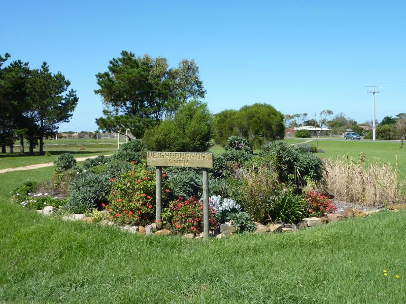 Around Seaspray - Neighbourhood Park, corner Main Rd and Hansen St
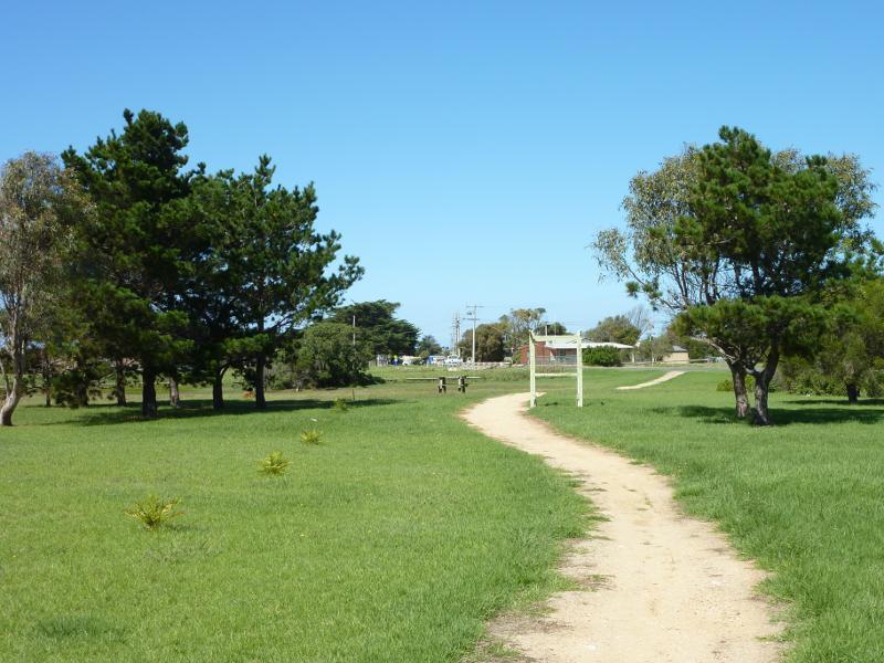 Around Seaspray - Pathway through Neighbourhood Park
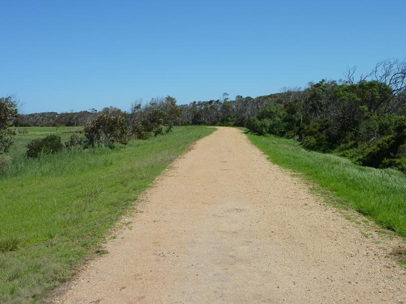
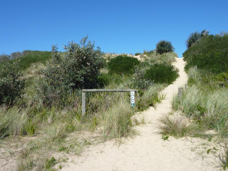
 Beach at south-east end of Futcher Street - Pathway over dunes to beach
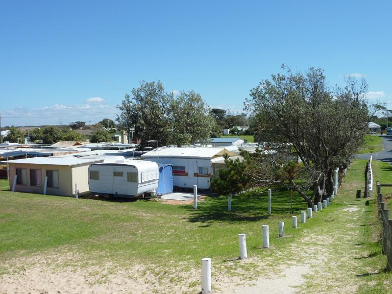 Beach at south-east end of Futcher Street - North-west view over Seaspray Caravan Park from path at top of sand dunes
 Beach at south-east end of Futcher Street - North-easterly view along Shoreline Dr from path at top of sand dunes
 Beach at south-east end of Futcher Street - View to beach from path at top of sand dunes
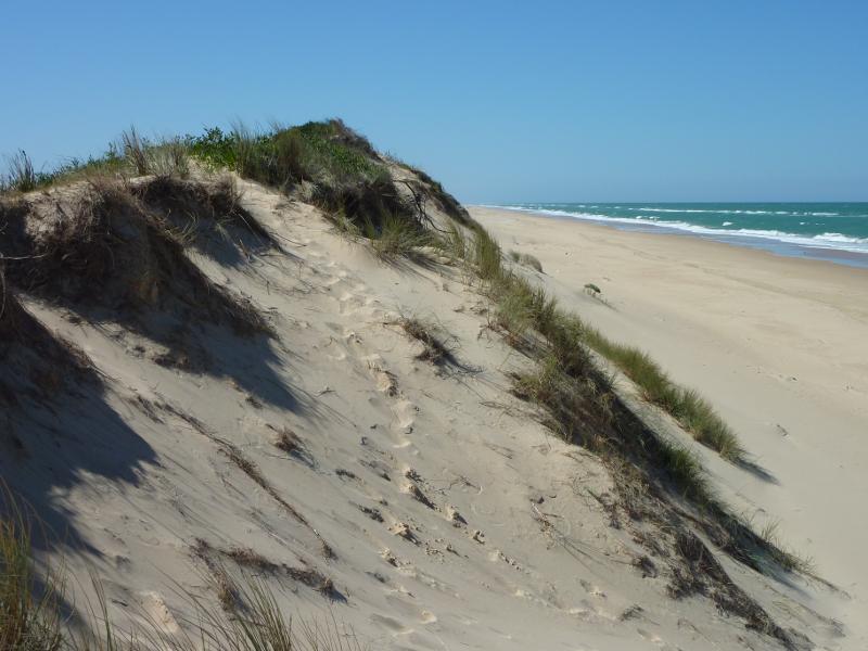
 Beach at south-east end of Futcher Street - View down to beach from sand dunes
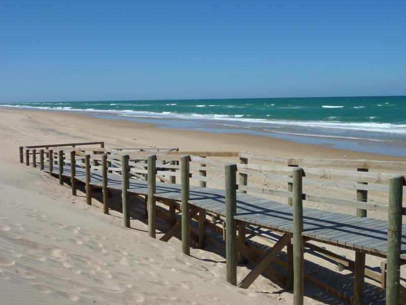
 Beach at south-east end of Futcher Street - View south-west along beach at walkway
 Beach at south-east end of Futcher Street - View south-west along beach
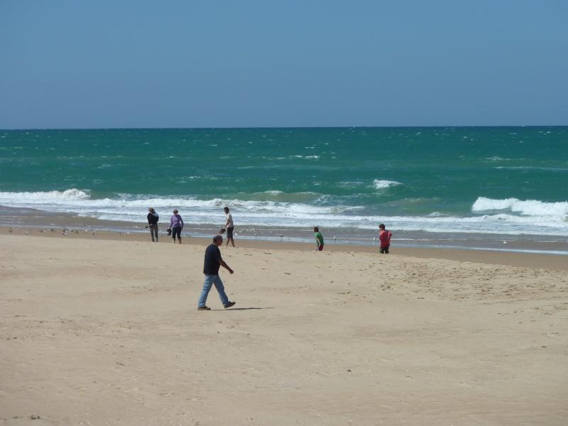
 Beach at south-east end of Futcher Street - View south-west along beach towards Seaspray Surf Life Saving Club
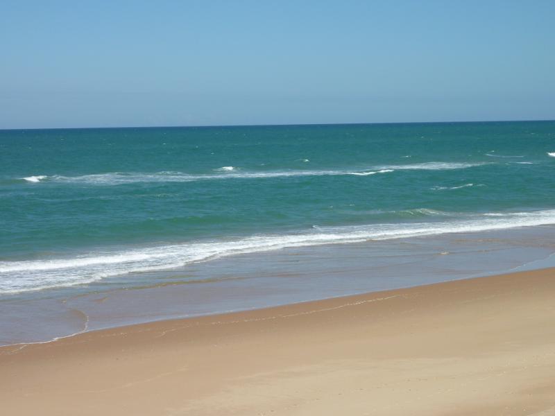
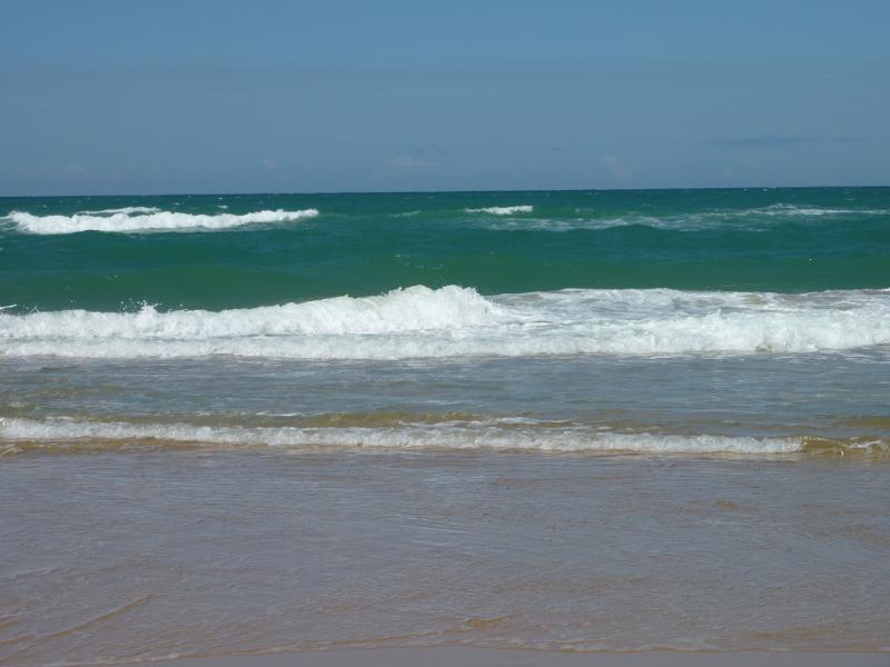 Beach at south-east end of Futcher Street - View across ocean
 Beach at south-east end of Futcher Street - View north-east along beach
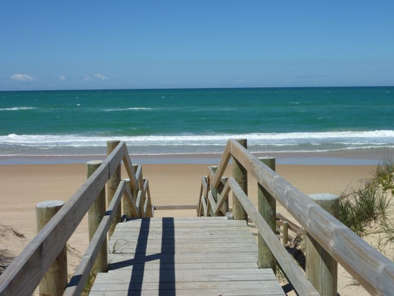
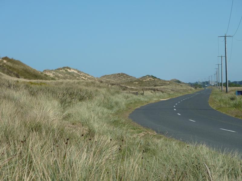
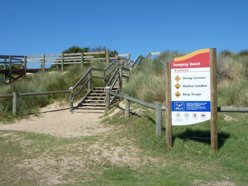 Beach at Shoreline Drive opposite Centre Road - Steps from Shoreline Dr over sand dunes to beach
 Beach at Shoreline Drive opposite Centre Road - View north-east along Shoreline Dr from steps over sand dunes
 Beach at Shoreline Drive opposite Centre Road - View east over sand dunes towards beach
 Beach at Shoreline Drive opposite Centre Road - View from walkway down to beach
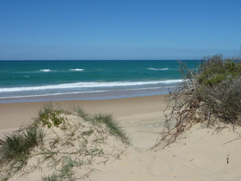
 Beach at Shoreline Drive opposite Centre Road - View south-west along beach from sand dunes
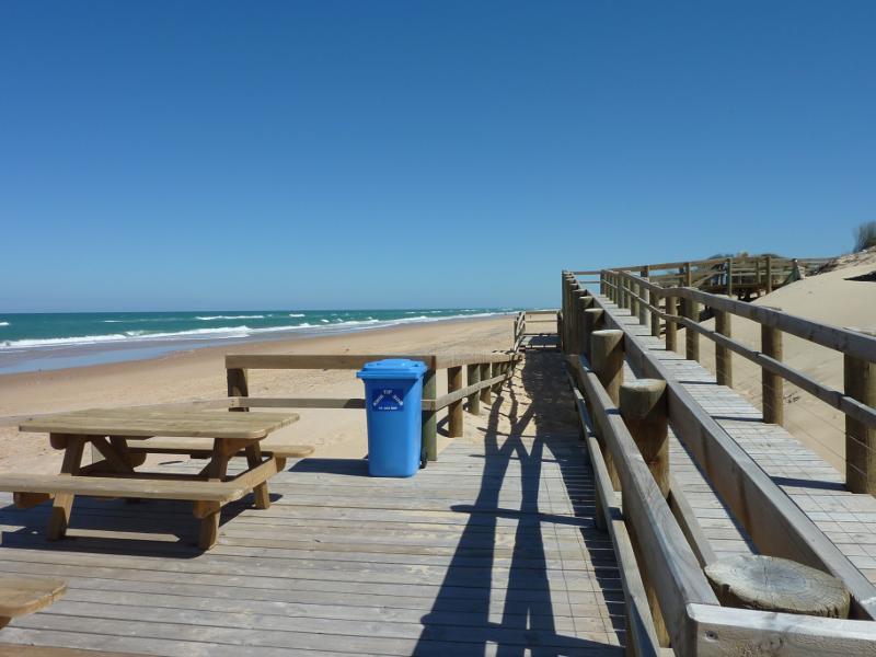 Beach at Shoreline Drive opposite Centre Road - View south-west along beach from decking at walkway
 Beach at Shoreline Drive opposite Centre Road - Decking and picnic tables on beach
 Beach at Shoreline Drive opposite Centre Road - Beach
 Beach at Shoreline Drive opposite Centre Road - View east across beach at walkway
 Beach at Shoreline Drive opposite Centre Road - View north-east along beach at walkway
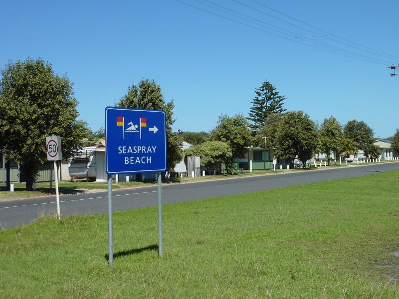
 Shoreline Drive at north-eastern end of town - View south-west along Shoreline Dr towards town sign
 Shoreline Drive at north-eastern end of town - View north-east along Shoreline Dr
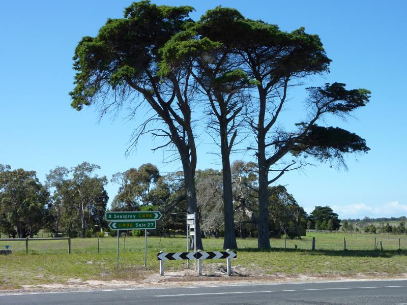
 Seaspray Road approaching town centre - View south-east along Seaspray Rd, south-east of Panorama Dr
 Seaspray Road approaching town centre - View south-east along Seaspray Rd at Panorama Dr
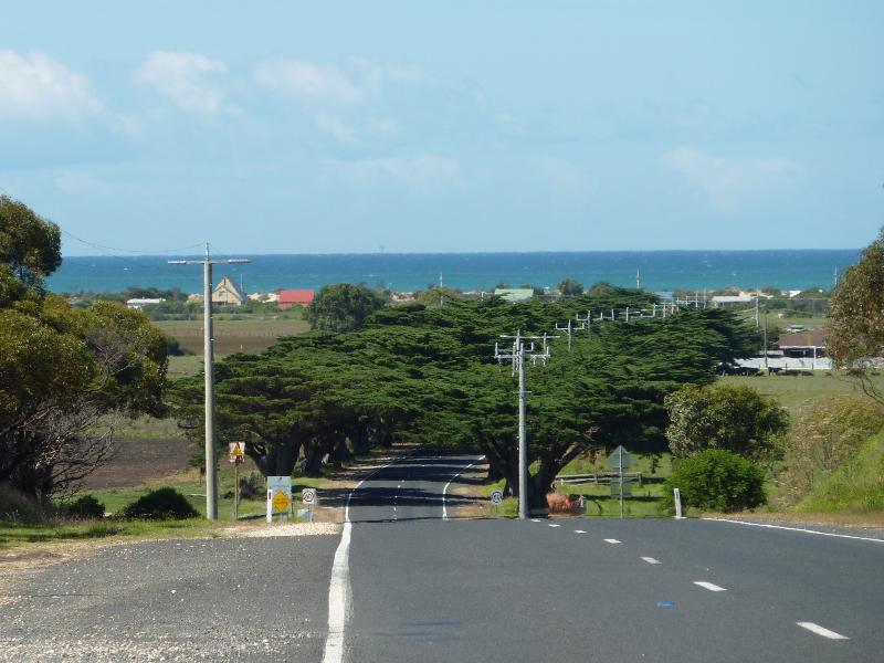
 Seaspray Road approaching town centre - Seaspray town sign, view south-east along Seaspray Rd towards Panorama Dr
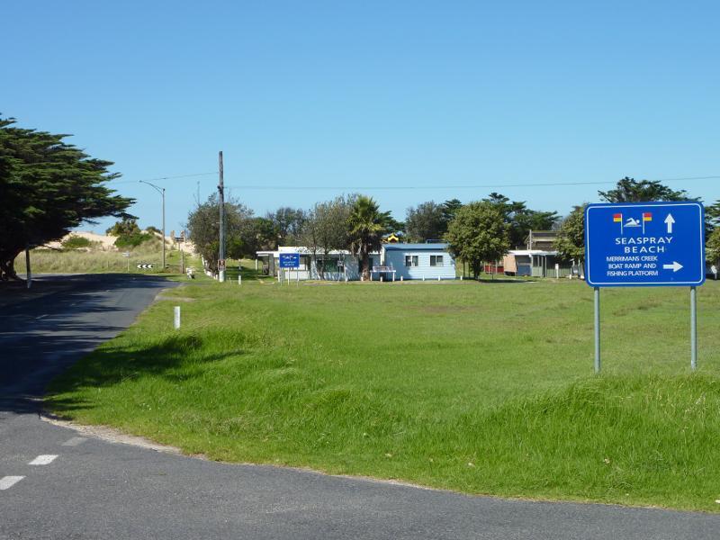
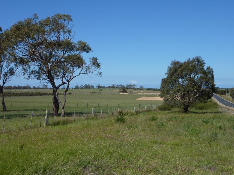
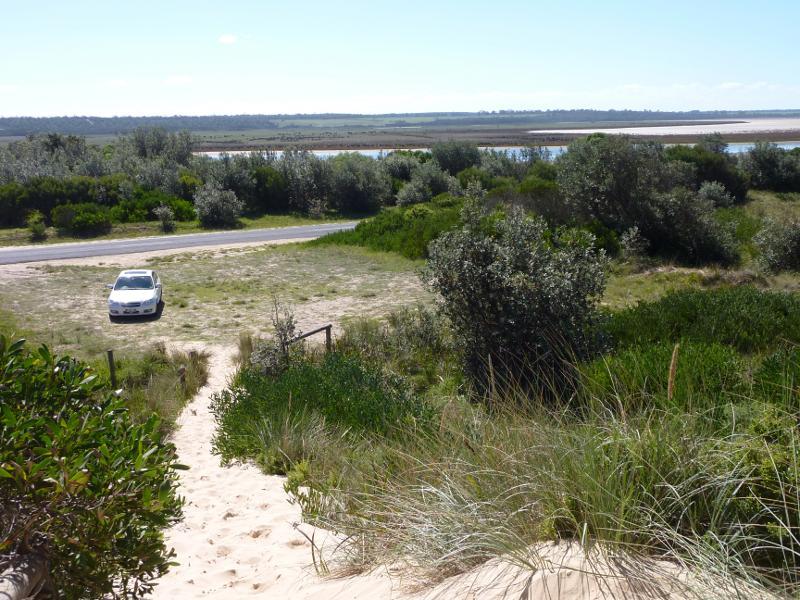
 Seaspray Road approaching town centre - South-easterly view towards Merriman Creek from end of Panorama Dr
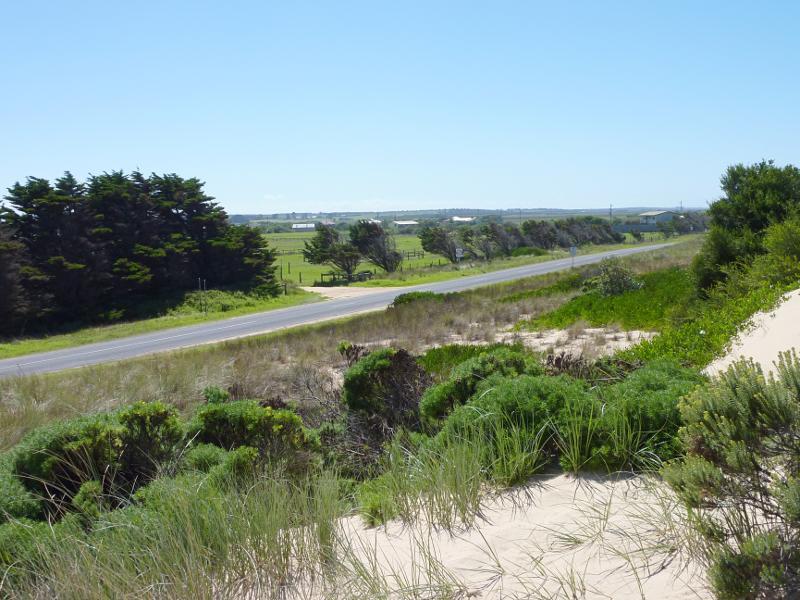
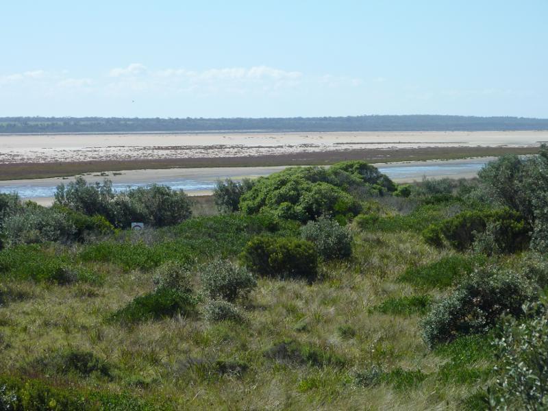
 Seaspray Road approaching town centre - South-westerly view from end of Panorama Dr
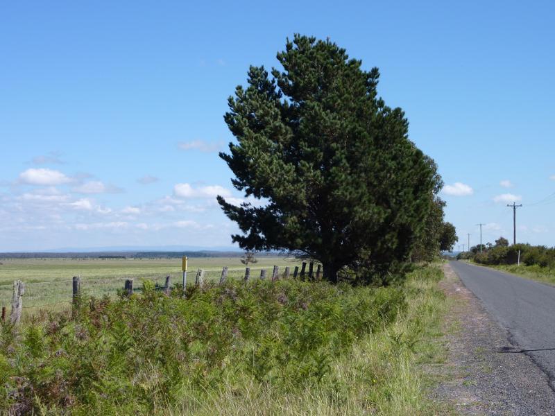
 Seaspray Road north of Seaspray - Southerly view from Seaspray Rd near Prospect Rd
 Seaspray Road north of Seaspray - View south along Seaspray Rd at McNeilly Rd
 Seaspray Road north of Seaspray - Southerly view, east side of Seaspray Rd at McNeilly Rd
 Seaspray Road north of Seaspray - View east across Seaspray Rd at Stradbroke East Rd
 Seaspray Road north of Seaspray - View west along Stradbroke East Rd at Seaspray Rd
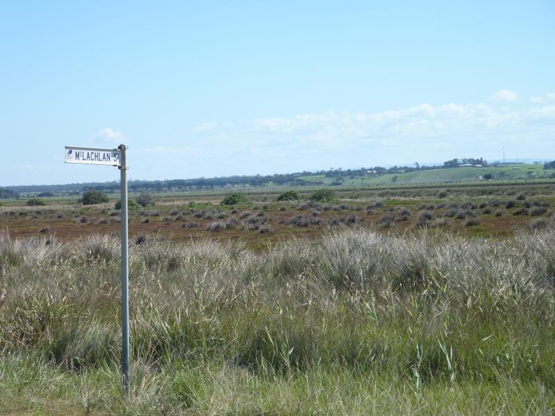
 The Honeysuckles - Shoreline Drive - View south-west along Shoreline Dr at McLachlan St
 The Honeysuckles - Shoreline Drive - North-westerly view from Shoreline Dr at McLachlan St
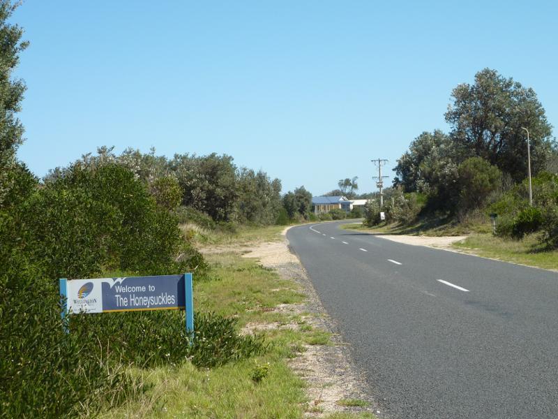 The Honeysuckles - Shoreline Drive - The Honeysuckles town town, view south-west along Shoreline Dr towards Mandalay Dr
 The Honeysuckles - beach along McLachlan Street opposite Grenfell Drive - Steps from car park over sand dunes to beach
 The Honeysuckles - beach along McLachlan Street opposite Grenfell Drive - View inland from steps over sand dunes
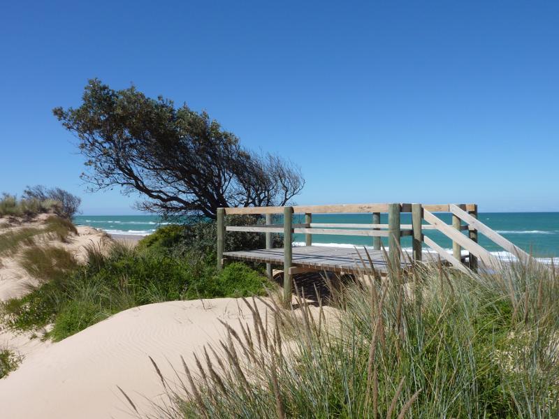 The Honeysuckles - beach along McLachlan Street opposite Grenfell Drive - Viewing platform at top of sand dunes
 The Honeysuckles - beach along McLachlan Street opposite Grenfell Drive - View down to beach from walkway at top of sand dunes
 The Honeysuckles - beach along McLachlan Street opposite Grenfell Drive - Walkway down to beach
 The Honeysuckles - beach along McLachlan Street opposite Grenfell Drive - View south-west along beach from viewing platform
 The Honeysuckles - beach along McLachlan Street opposite Grenfell Drive - View south-west along beach
 The Honeysuckles - beach along McLachlan Street opposite Grenfell Drive - View north-east along beach at viewing platform
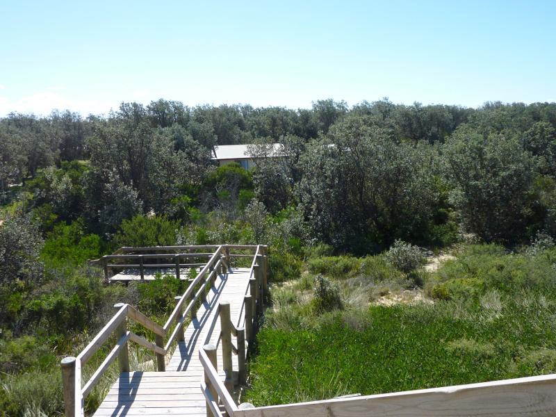
 The Honeysuckles - beach along Shoreline Drive opposite Mandalay Drive - Path over sand dunes to beach
 The Honeysuckles - beach along Shoreline Drive opposite Mandalay Drive - Northerly view towards car park and Shoreline Dr from top of sand dunes
 The Honeysuckles - beach along Shoreline Drive opposite Mandalay Drive - Northerly view towards Lake Reeve from top of sand dunes
 The Honeysuckles - beach along Shoreline Drive opposite Mandalay Drive - View south-west along beach from sand dunes
 The Honeysuckles - beach along Shoreline Drive opposite Mandalay Drive - View across beach towards ocean
 The Honeysuckles - beach along Shoreline Drive opposite Mandalay Drive - View north-east along beach from sand dunes
 The Honeysuckles - beach along Shoreline Drive opposite Mandalay Drive - View south-west along beach
 The Honeysuckles - beach along Shoreline Drive opposite Mandalay Drive - View north-east along beach